
Page contents
About
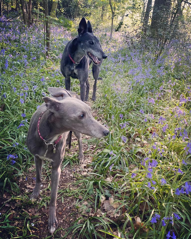
Gallery
Parking
Poo bins?
Self-guided walk
About
On the border of Purley (London Borough of Croydon) and Whyteleafe (Tandridge, Surrey), the Sanderstead to Whyteleafe Countryside Area (SWCA) is a 200 acre area of chalk grass/downland, fields, woodland and scrub, which forms part of the North Downs. Jointly owned by Tandridge District Council, the London Borough of Croydon and the Whitgift Foundation, it is home to many rare chalk grassland species, including skylarks, glow worms, butterflies and dormice. Section 5 of the London LOOP passes through the heart of the area.
The SWCA abuts the Corporation of London-owned Riddlesdown Common. Riddlesdown was first recorded by name in 1277 and derives from Old English and Middle English words meaning ‘cleared woodland on a hill’. Locals tend to use the names interchangeably, usually opting for Riddlesdown as it’s less of a mouthful than SWCA.
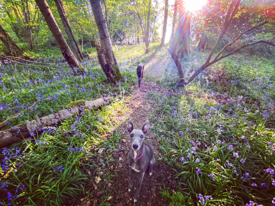
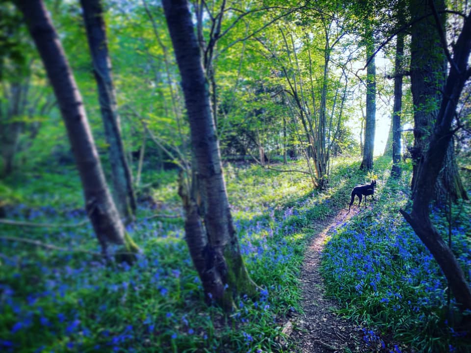
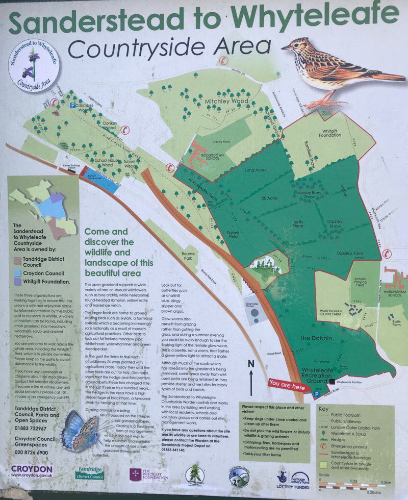
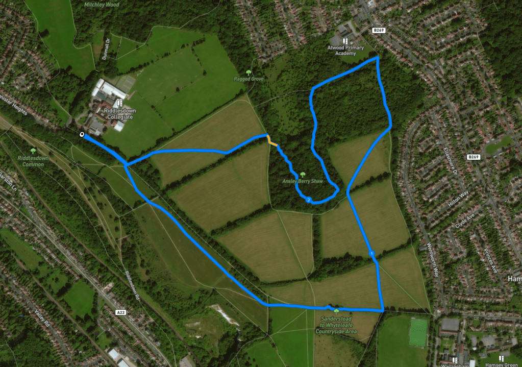
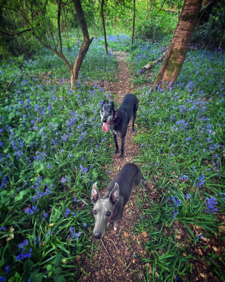
Dipsley Shaw and Ainsley Berry Shaw (see site map in photo carousel) are two small areas of woodland. The paths through them are tiny and don’t appear on any OS maps. They can be quite overgrown in the summer but it’s nice to duck in on hot days to escape the heat of the sun beating down on the open grassland. In spring time, they boast a generous covering of bluebells.
Every Saturday morning at 9am, the SWCA hosts Riddlesdown Parkrun, where a couple of hundred people run, jog or walk a 5km route around the fields. It’s brutal!
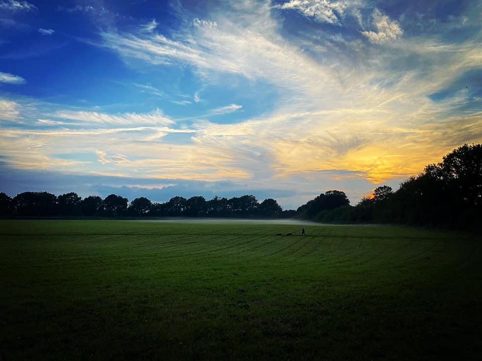
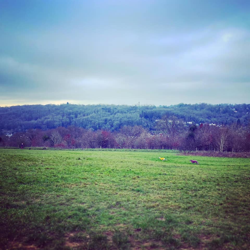
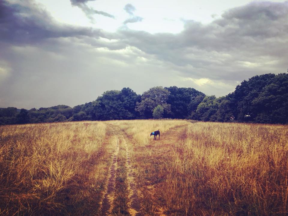
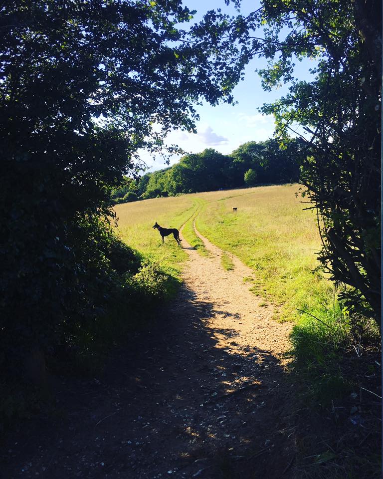
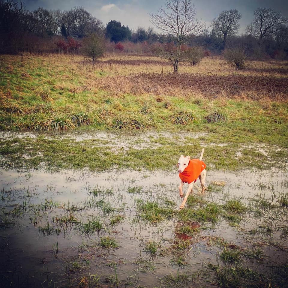
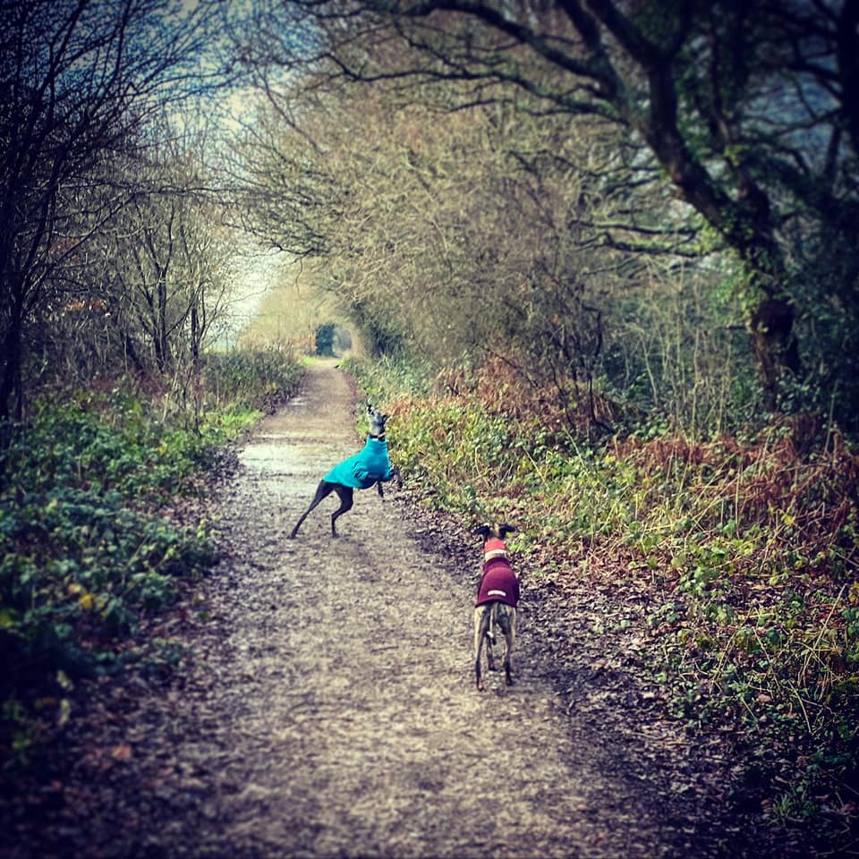
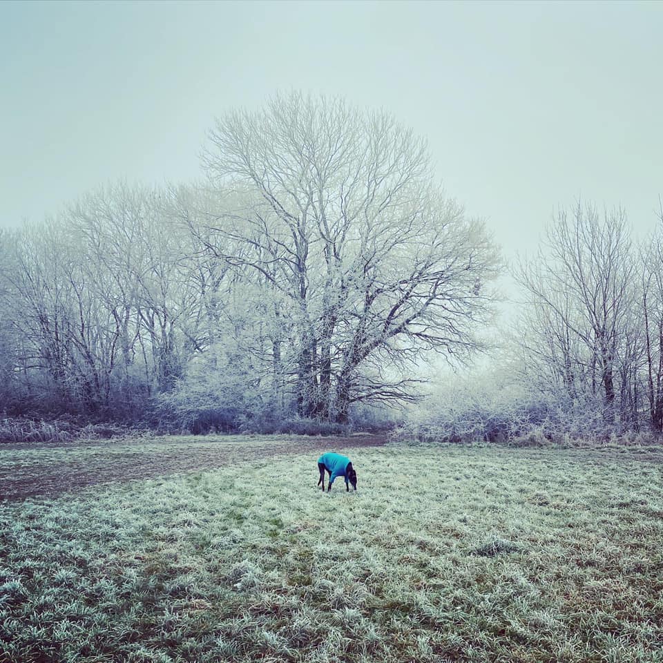
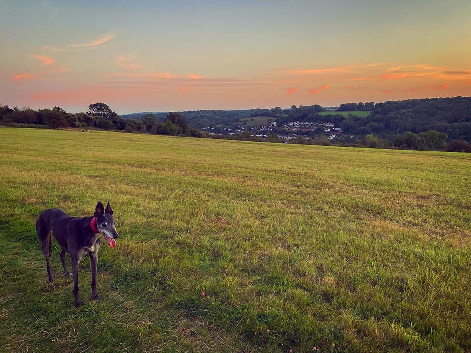
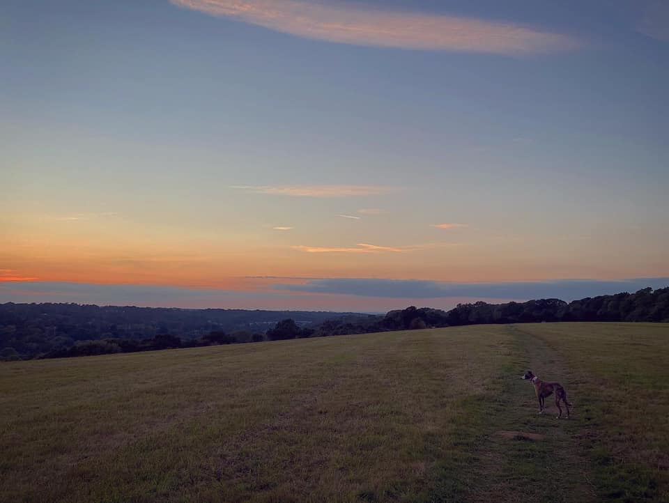
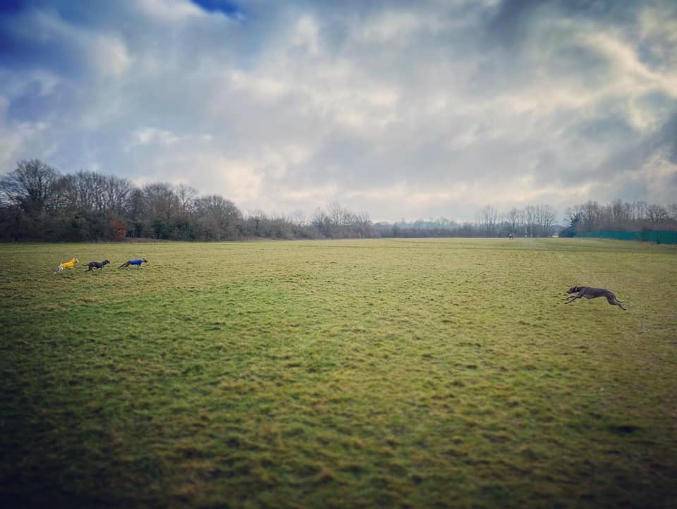
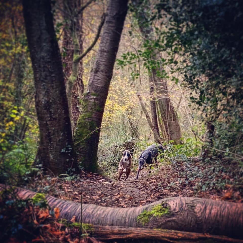
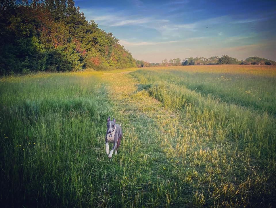
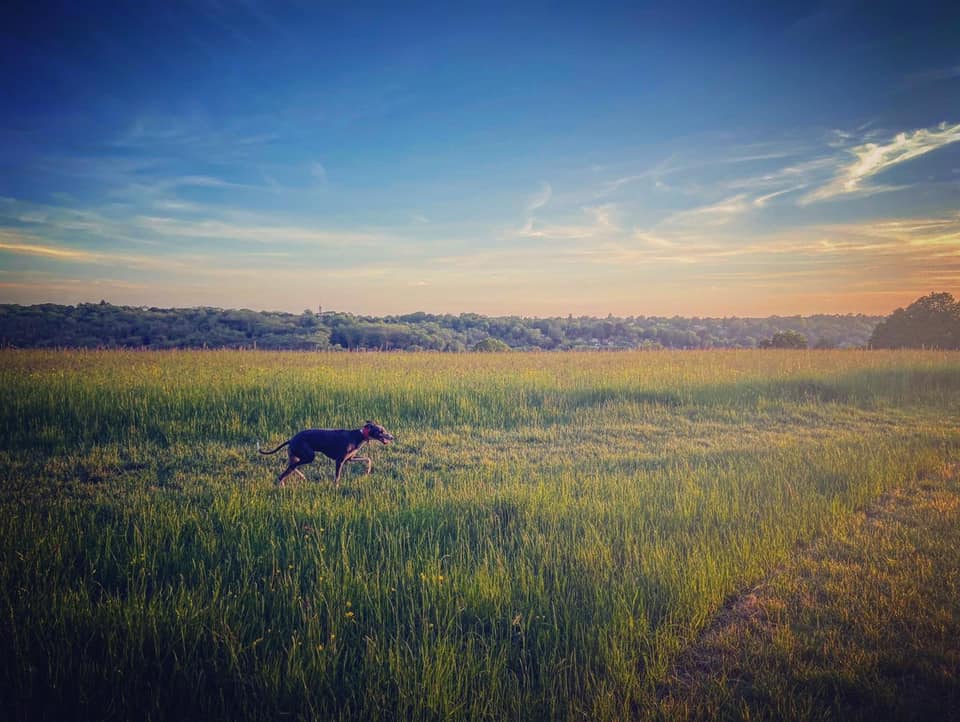
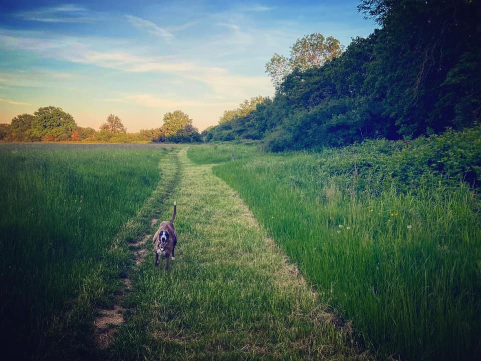
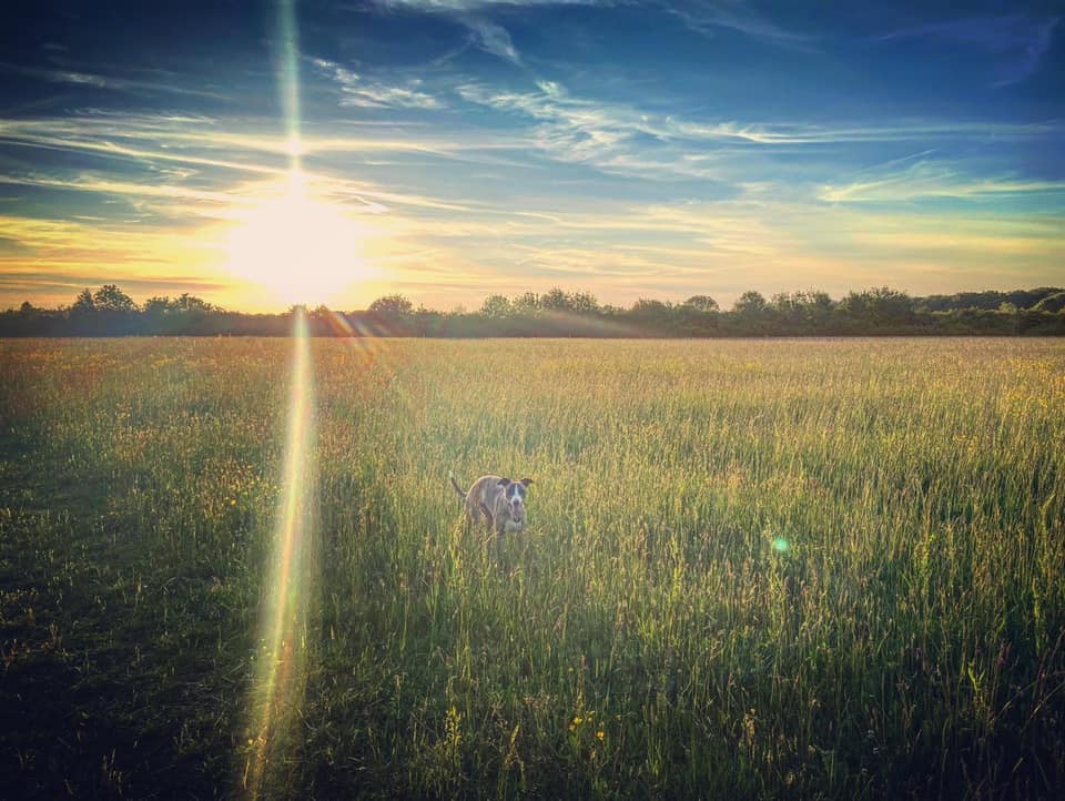
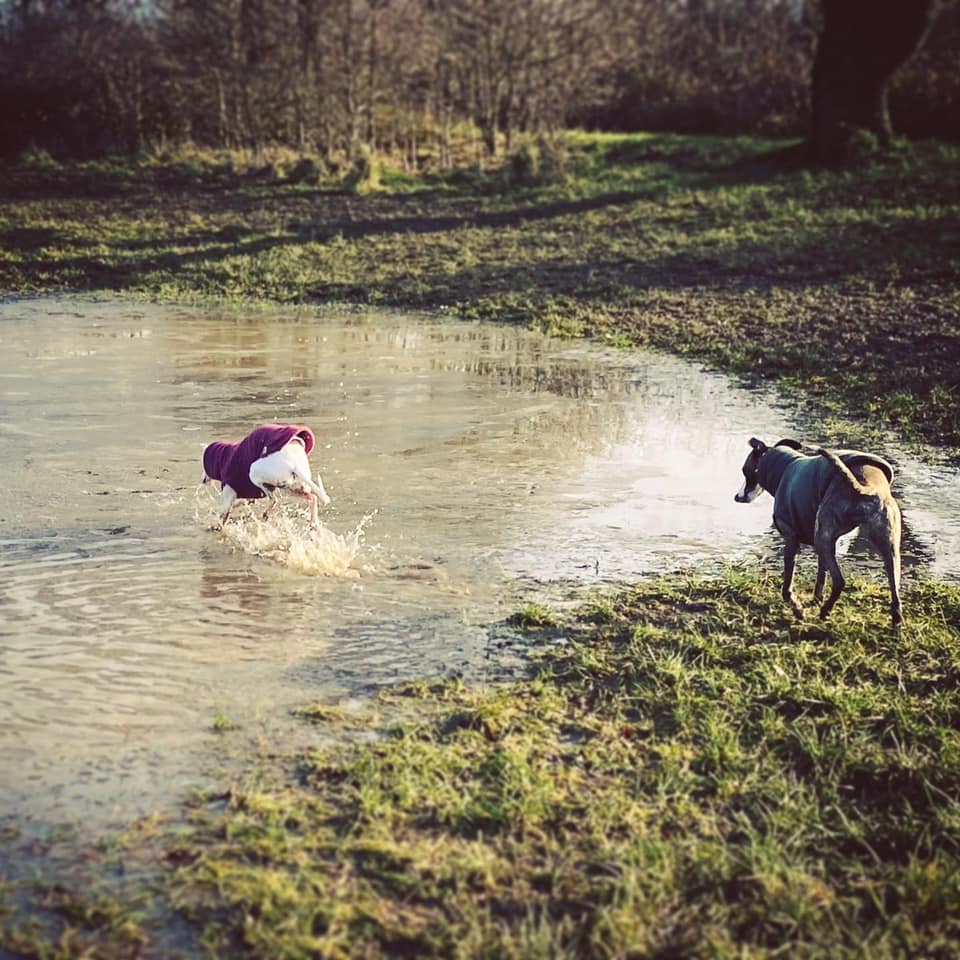
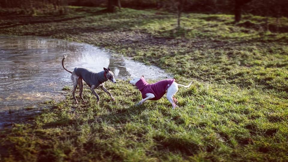
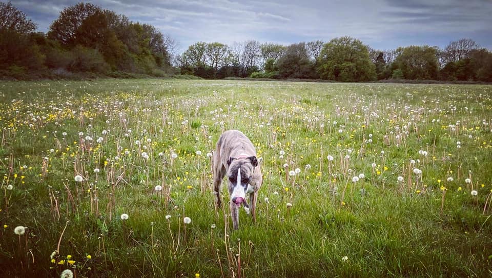
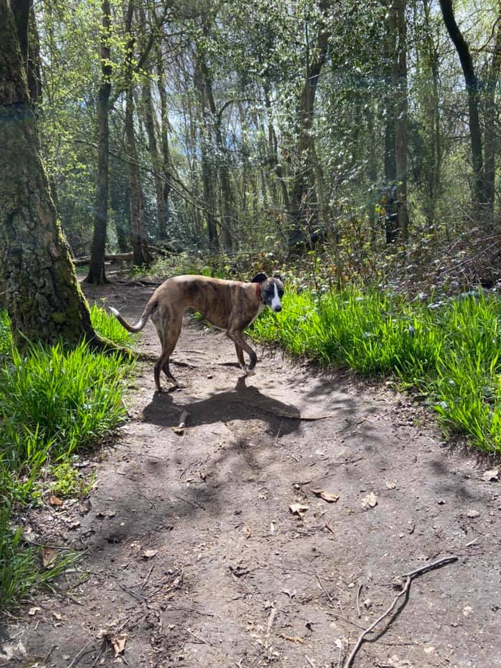
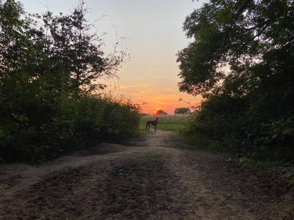
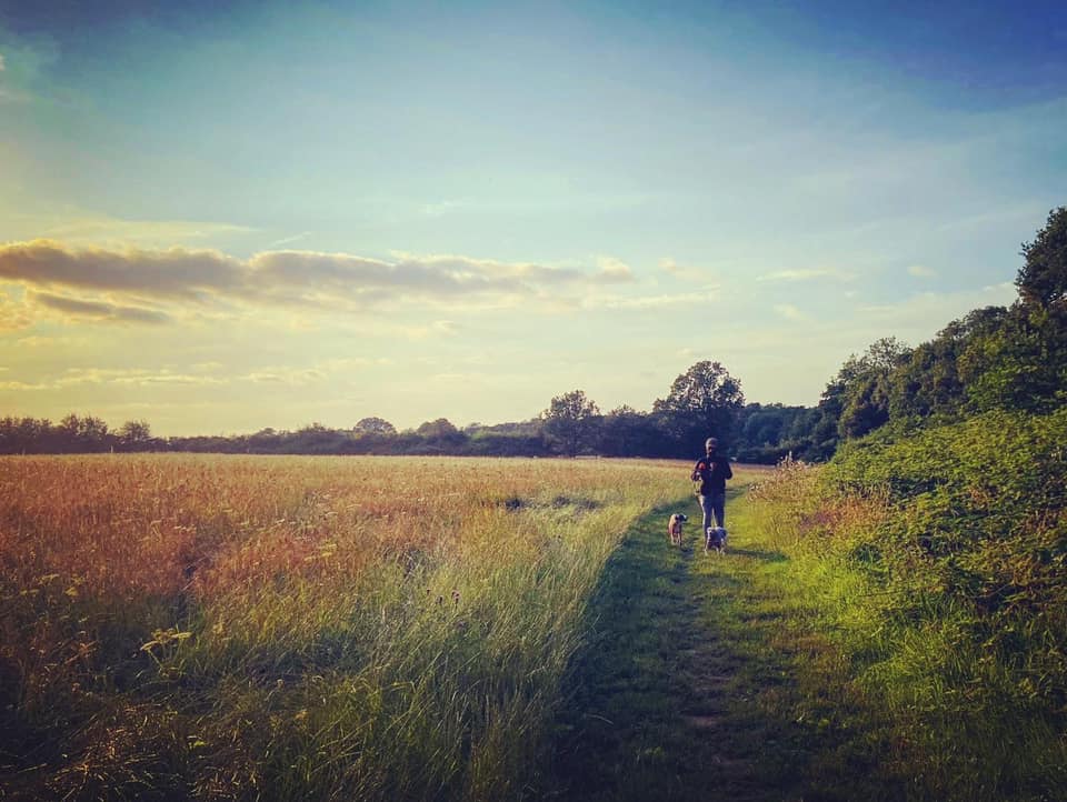
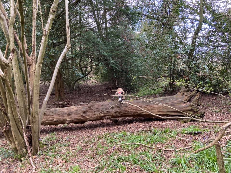
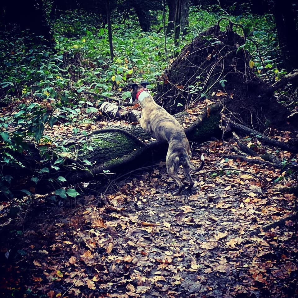
Gallery: What’s it like here?


Parking
While there is a car park at Riddlesdown (proper, as opposed to SWCA), charges were introduced in 2021 and it’s barely used these days. There’s free parking on the residential roads nearby and, for SWCA, the best place to park is on Dunmail Drive, the dead-end off the end of Honister Heights. There is a little off road area just before Riddlesdown Collegiate. It’s not formally a car park but used as one – just keep the access gate clear. If you’re using a sat nav, use the post code for the college, CR8 1EX.
GOOGLEMAPS LINK: https://goo.gl/maps/NEVaptt8kxmnhUke7
WHAT3WORDS: beams.mops.strain
NEAREST POSTCODE: CR8 1EX
You can also park on the other side of SWCA in the roads around Warlingham School, including Tithepit Shaw Lane and Wentworth Way.
Poo bins?
By the access gate at the back of the parking area off Dunmail Drive, at corner of Honister Heights, at the entrance from Tithepit Shaw Lane.
Self-guided walk
Here is a Footpath app route for SWCA. Also on AllTrails. This route guides you around the fields and passes the pond and takes a meander through the Ainsley Berry Shaw woodland. Technically this walk starts and ends in the London Borough of Croydon, but you cross the border into Surrey about a quarter of the way through for a little bit of the route – blink and you’ll miss it though!
Length: approximately 2.7 miles/4.3km
Terrain: Flat grassy paths, some are stony underfoot, some areas can be muddy and waterlogged in winter. Narrow woodland paths, which can be overgrown and are frequently muddy.
Stiles/kissing gates? No stiles, one kissing gate
STORM EUNICE UPDATE: I have checked this walk and all fine!
Go through the vehicle barrier at the back of the little parking area right next to Riddlesdown Collegiate and walk along the edge of the school grounds. At the first cross paths, next to an information board that has a map of SWCA on it, go right and take the path that heads diagonally left/ahead across the field (rather than the path that goes down shrubs at the right-hand edge). This is Woodpecker Field. I have never seen a woodpecker here but I have definitely heard them.
Pass through the gap in the big hedge at the end of this field, and then take the path that forks immediately off up to the left. Follow this as it curves round to the right and then straightens out along the tree line. This is Skylark Field, by the way. I have never seen skylarks here but I know they do nest in these fields. Go over the grassy cross paths (where the one to the right leads down to a wooden table and bench) and continue to the end of this open grassy area.
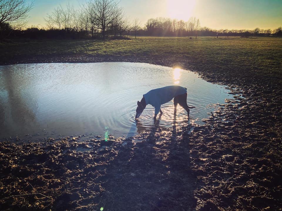
At the tall hedge that marks the end of this space, go through the gap and you officially pass the Croydon/Tandridge border and are now in the county of Surrey. A short way ahead, the grass path joins a stony path, which is part of section 5 of the London LOOP (yes, in Surrey). Turn right and walk straight until you come to a pond on the left by some trees. My dogs like to stop here for a paddle and a drink (and, in Rena’s case, a wee in the water because she is a bit gross like that).
I don’t know if this is actually a pond or a WWII bomb crater, which just happens to fill with water in the wetter months – it dries out completely in the summer and loads of wild flowers blossom in the dip. The reason I speculate about a bomb crater is because this area – being so close to RAF Kenley on the other side of the A22 – was targeted in the war. The grassy space you walked through earlier with the green railings has a dip on that section where the railings are (but the path you took doesn’t go through it), and this dip was caused by a bomb.
After the pond, continue on the London LOOP until you come to a path coming off to the left, which is just before another path coming off to the right and a small wooden way marker for the LOOP. Turn left and follow the grassy path across one field (Dipsley Field). As you head into the second field (Marles), you leave Surrey behind, stepping back into the London Borough of Croydon. Short but sweet, eh? Anyway, straight through field two into a third field (also Marles). In this third one, take the path that goes diagonally to the right, through the middle of the field all the way to its far corner, where there is an information board and a kissing gate.
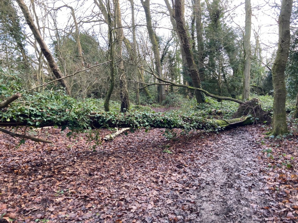
Go through the kissing gate and follow the path straight down alongside a scrubby area with small trees (called Barnfield Shaw, and a favourite place for Jett whippet to run off and freak me out) until you reach the end, which is by a primary school. Turn left and walk along the school playing field fence. Keep straight until you come to a sheltered junction of cross paths by three tree stumps. Turn left here – and almost immediately go right down a little path with a fallen tree trunk across it.
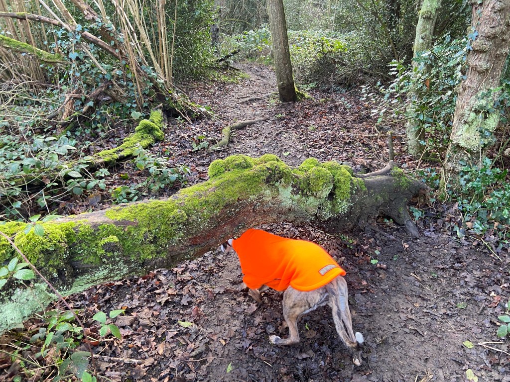
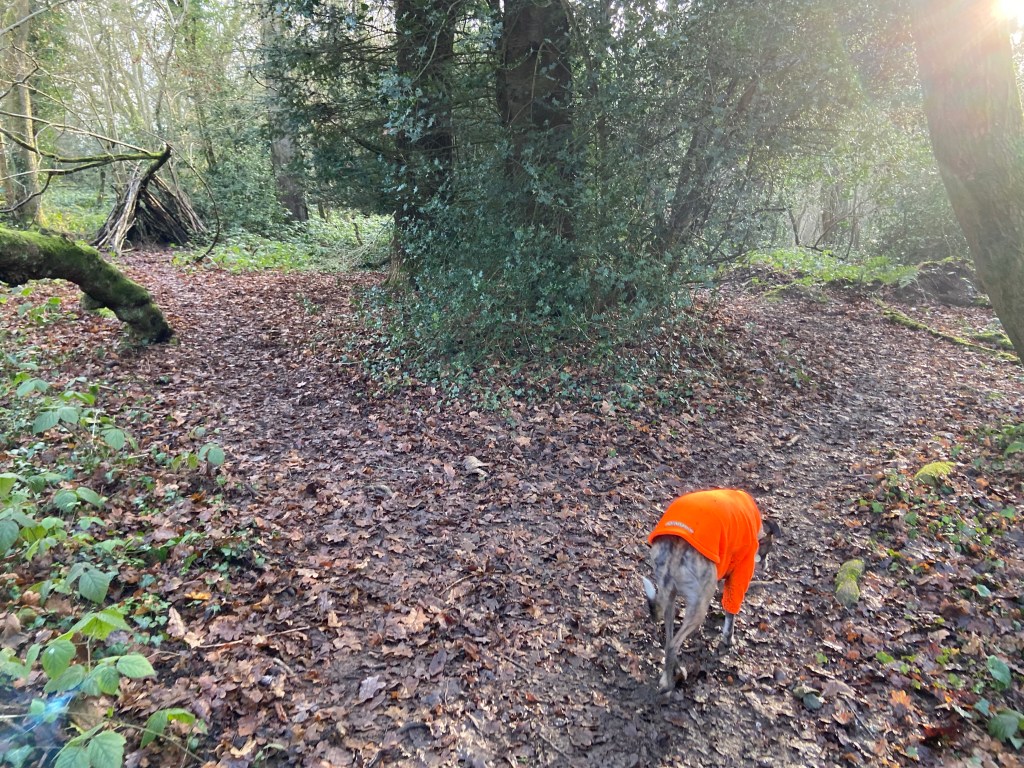
Step over this (Jett sometimes opts to go under it as per the photo), and follow the little path as it winds through the woods of Ainsley Berry Shaw. In the late spring, there are bluebells in here and, as the woods aren’t that well known, they’re not usually trampled all over.
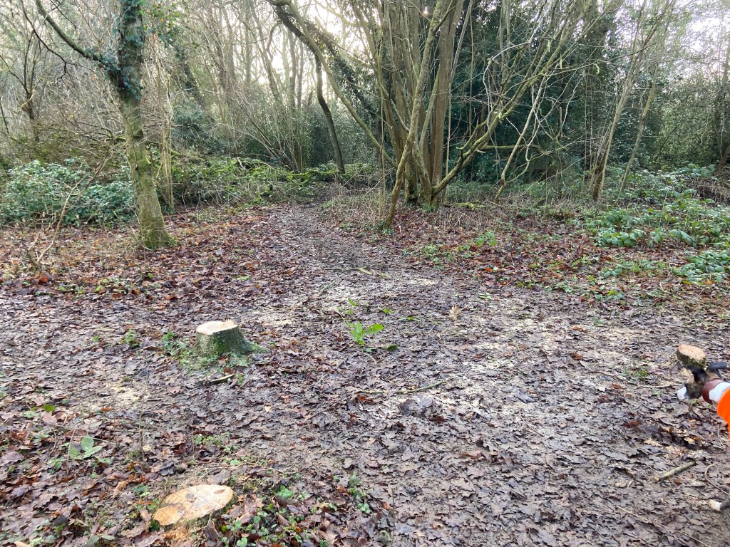
The path winds through the woods. When you come to a fork, where you can see a stick hut structure down the left path, take the right one.
You’ll carry on winding through the trees, then go down a dip and under a couple of fallen trunks (they are together), then up a slope – ignore the path that comes off to the right, keep on straight. When you get to a fork with a fallen tree across the left path, bear left and over the trunk. Keep going. Cross over another couple of tree trunks (again, these are right together) and then go around another, larger fallen tree trunk (or leap over it if you’re feeling athletic). Carry on down the same path and you’ll come to yet another fallen tree. This is covered in ivy. Go over this (or under it but it’s quite a duck) and then over the smaller fallen trunk right behind it.
Almost immediately, you’ll come to a corner with a path leading off to the left, which you can see takes you out of the woods. Follow the main path to the right around the corner. Again, it’s windy and there aren’t any real points of reference but keep going until you come to a fork where there is a smallish tree growing kinda diagonally on your left. You may be able to see that the path that goes left here leads out of the woods – keep right instead.
More windy windy windy until you come to the T junction with a scraggly fallen tree in the scrub ahead of you. Turn left and the path will go up slope. Look out for another fallen tree trunk – go over this, then immediately turn left and out through the gap to emerge from the woods.

Turn right and go through the gap between this field (20 Acres) and the next field (Long Acre). Turn left and walk up the side of the field. About halfway along its length, there’s a cross paths. Take the path that heads diagonally right through the middle of the field to the far right-hand corner, where it heads between trees/shrubs on the left and Riddlesdown Collegiate on the right.
When you get to the cross paths next to the information board, you should recognise this as the first junction you came to at the start of this walk. Turn right and retrace your steps to the parking area at the end.

Leave a comment