
Page contents
About
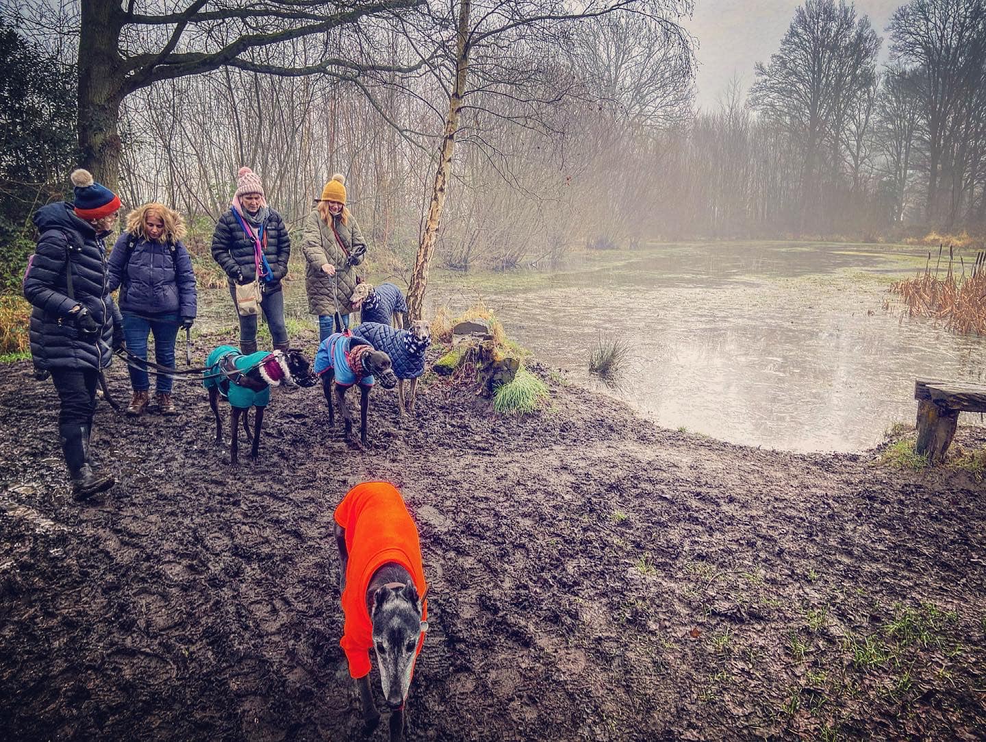
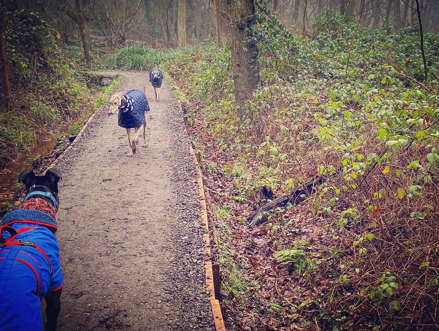
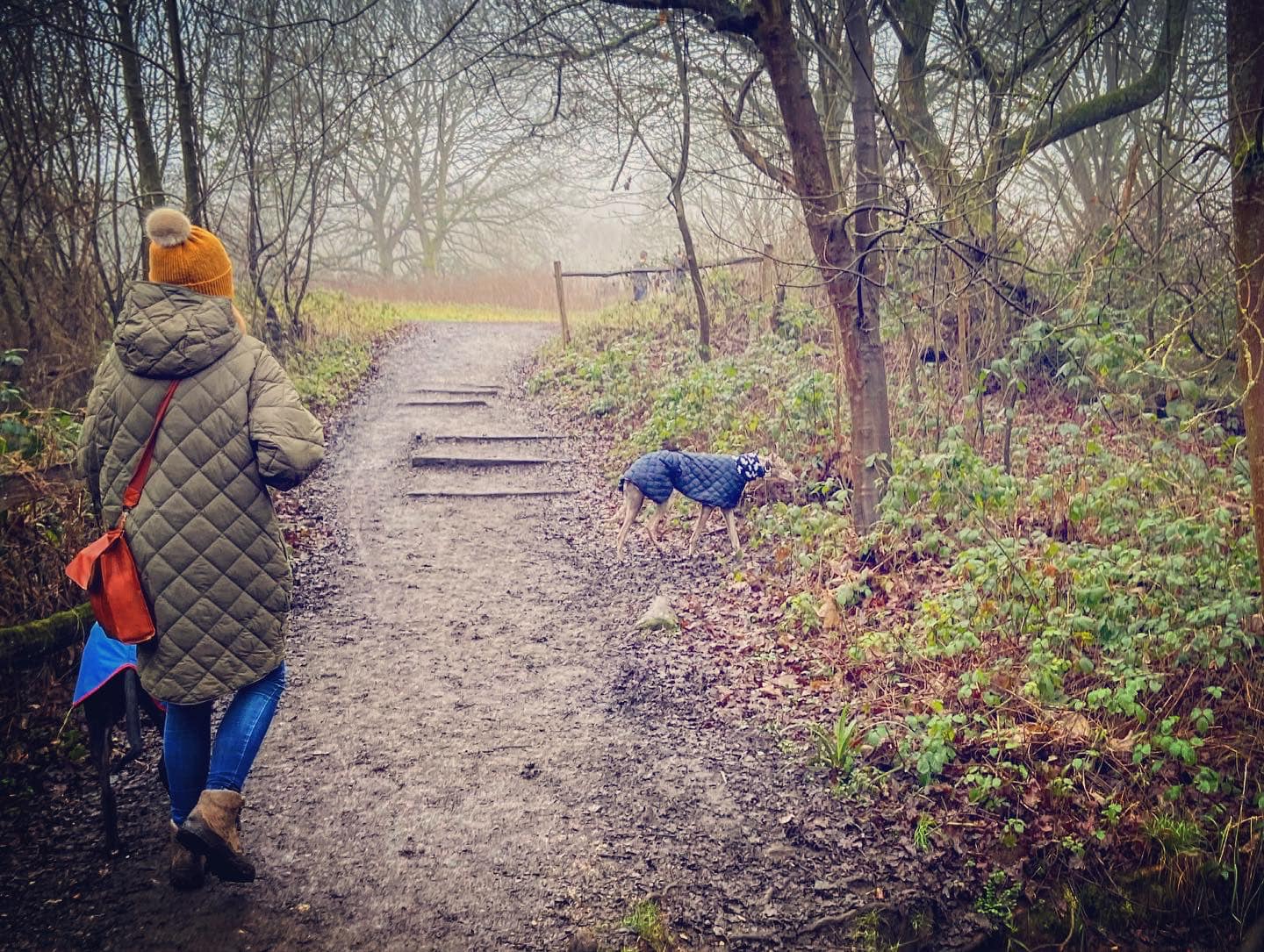
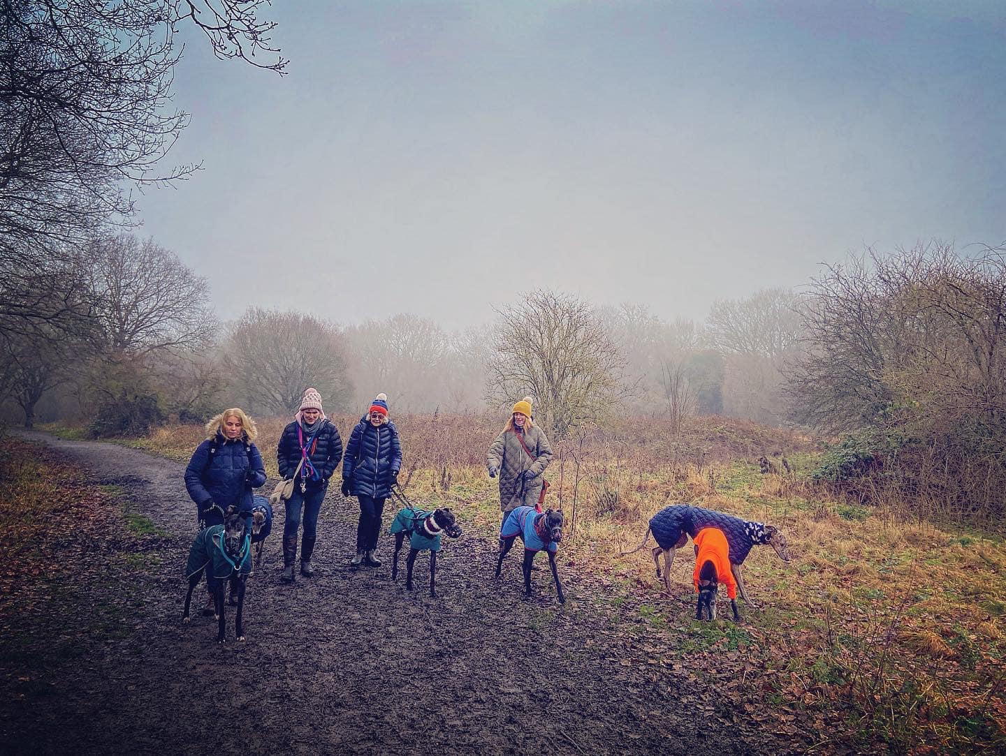
Gallery
Parking
Poo bins?
Self-guided walk
About
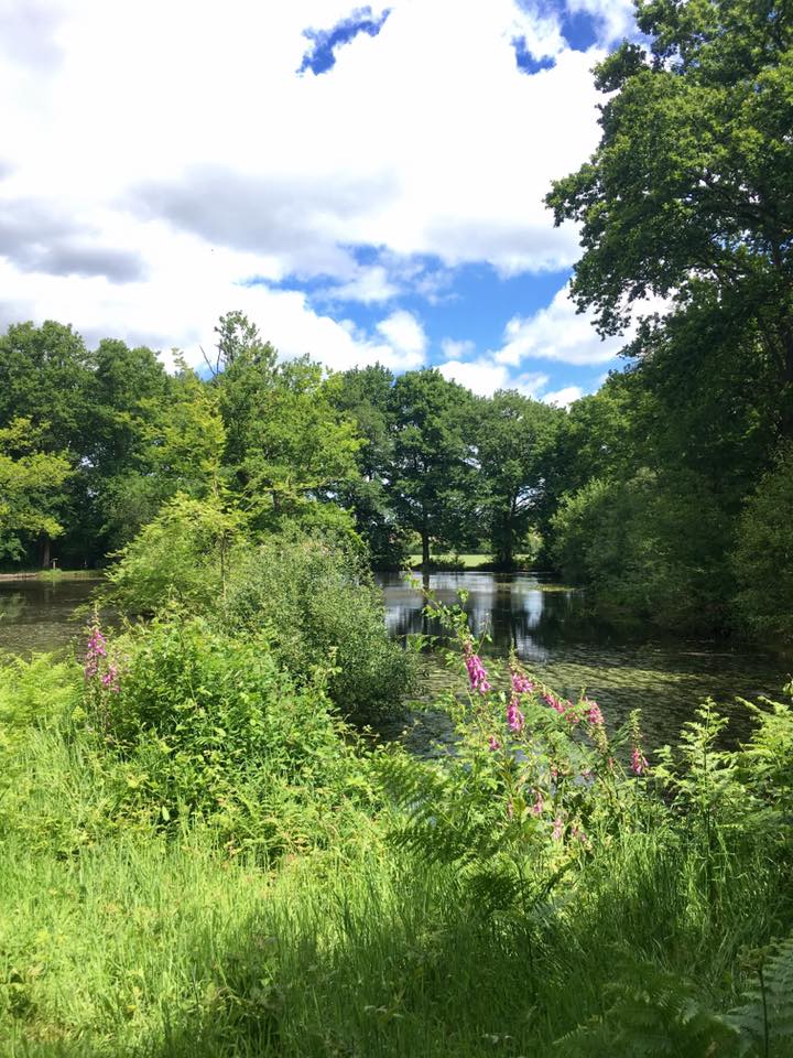
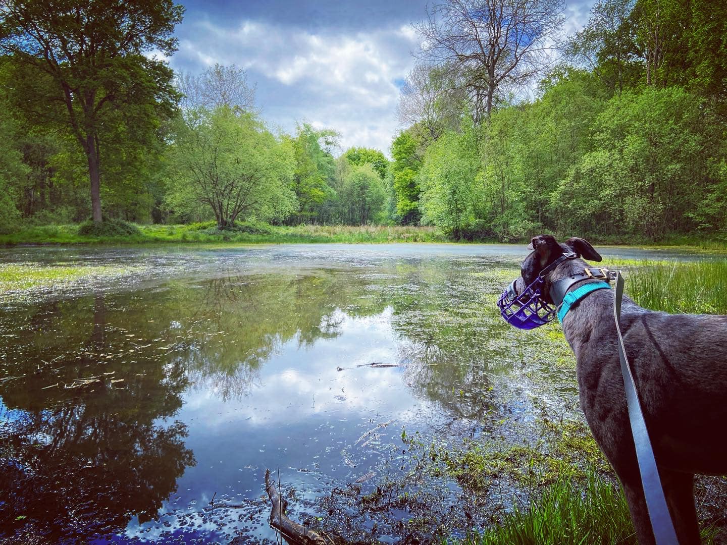
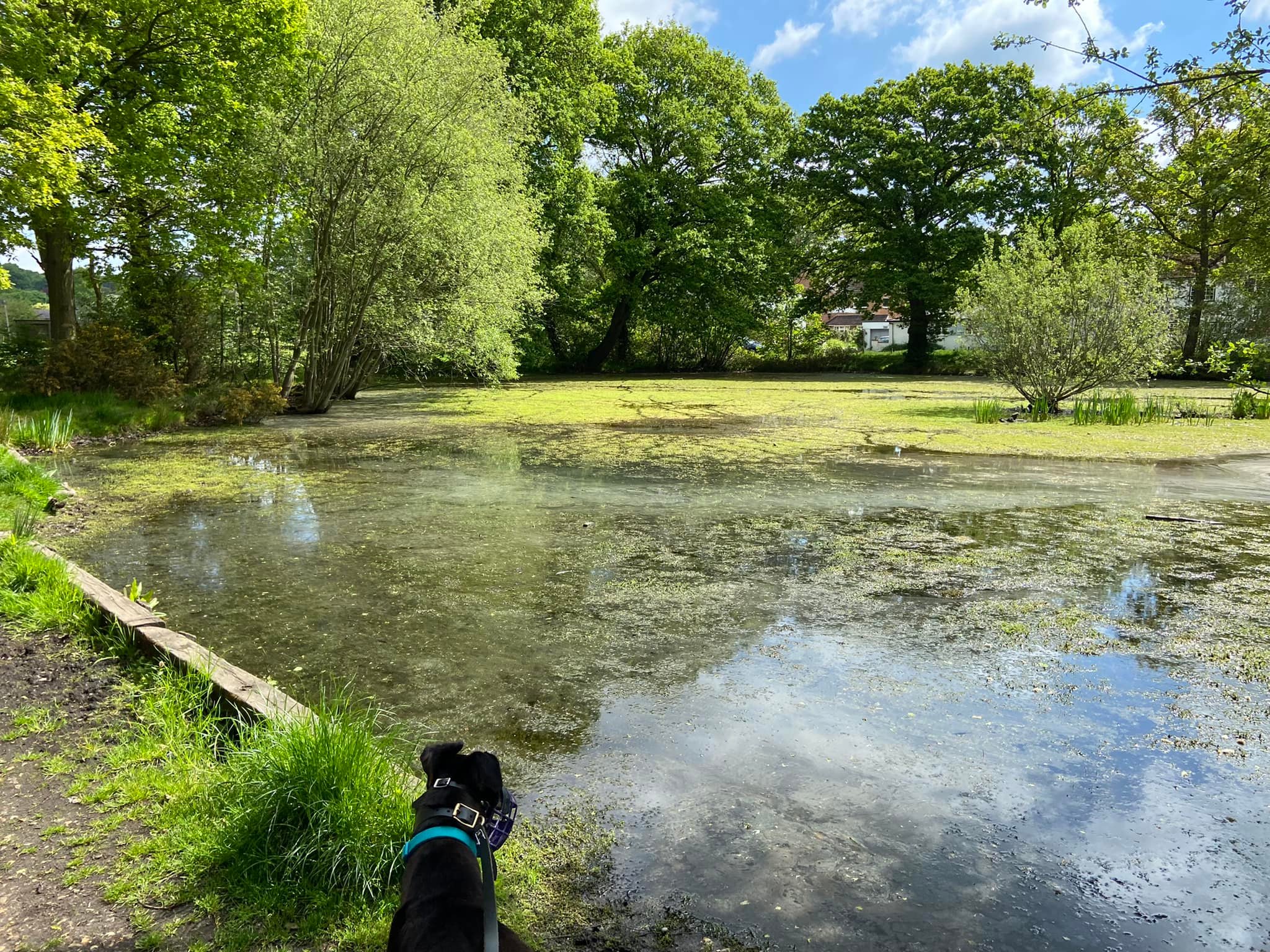
West End Common is a 70.3-hectare (174-acre) Local Nature Reserve and part of Esher Commons, which is a Site of Special Scientific Interest. The River Mole runs along one edge of the common, which also boasts six ponds and wet areas that are home to a rare flowering marsh plant starfruit – in 2005, the common’s Chequer’s Pond was the only recorded flowering site in the UK. Water scorpion and other pond life thrive, and, in the summer, damselflies and dragonflies are often seen hovering over the water (hunting for prey) and flying through the woodland glades. The pond on the green nearest the Prince of Wales pub is frequented by ducks and other water birds.
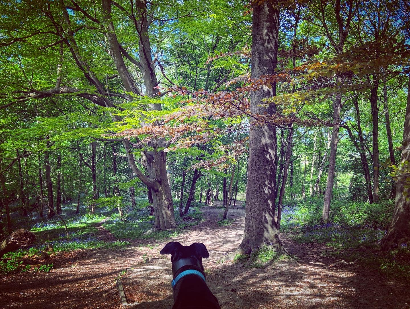
On the higher ground, there’s mature woodland, much of which is classed as ancient. Known as The Ledges, it houses some fine craggy ancient oak and beech trees, which are particularly striking in the winter, when their foliage is limited.
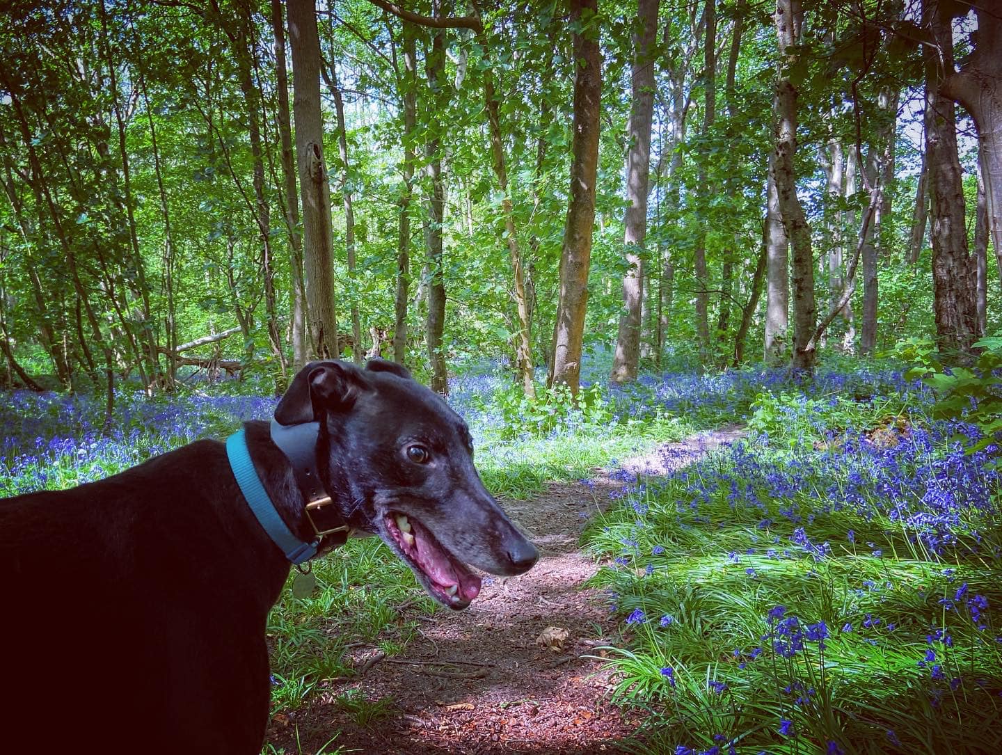
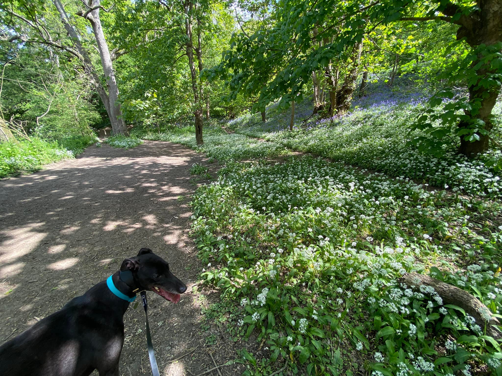
In the springtime, the woods along the River Mole are awash with wildflowers, including bluebells, wild garlic and – in the wetter areas – marsh marigolds. During the summer months Himalayan Balsam flourishes – this is actually a highly invasive plant, requiring a range of management techniques to limit its distribution so it doesn’t take over.
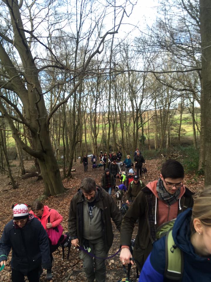
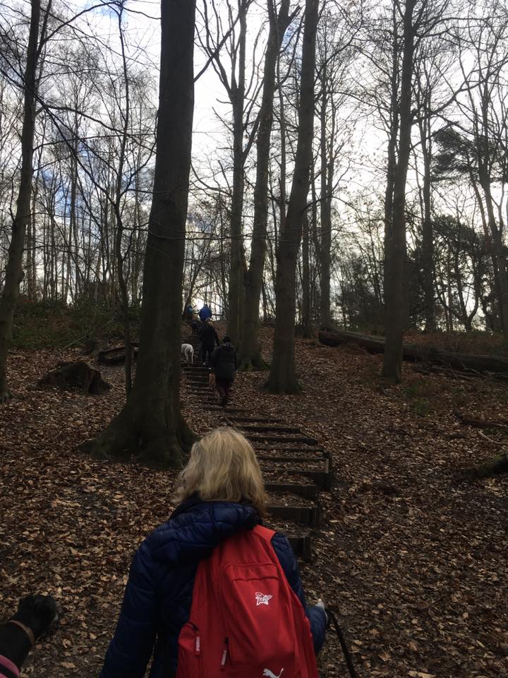
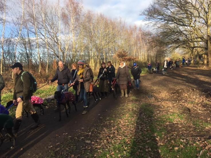
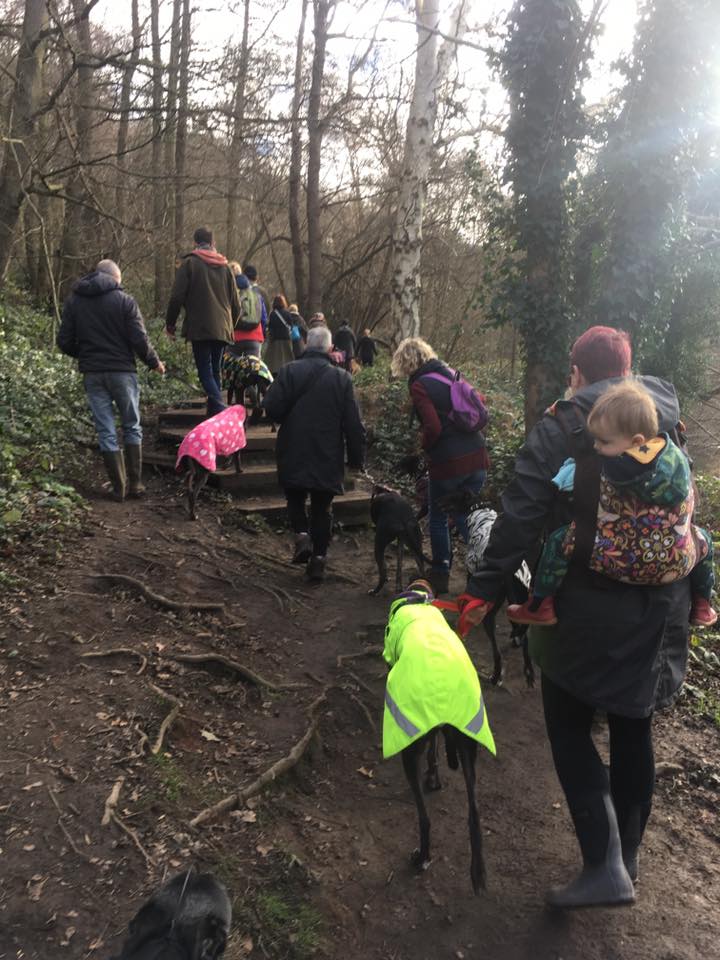
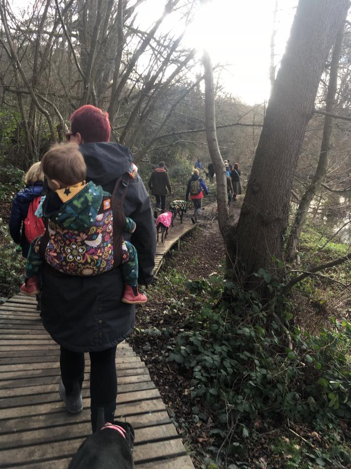
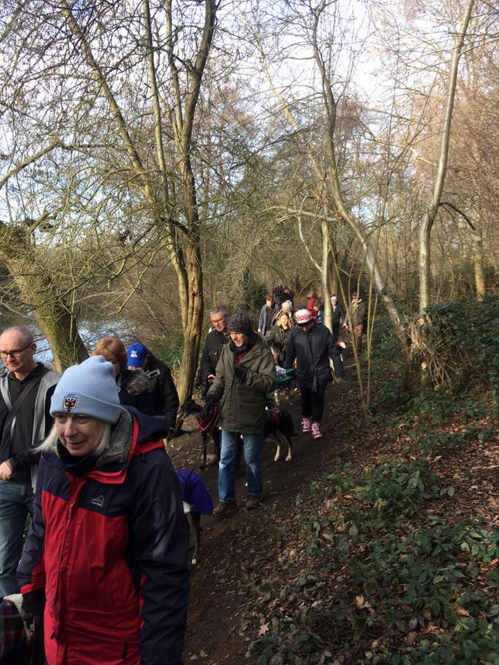
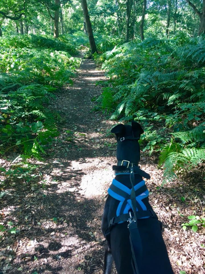
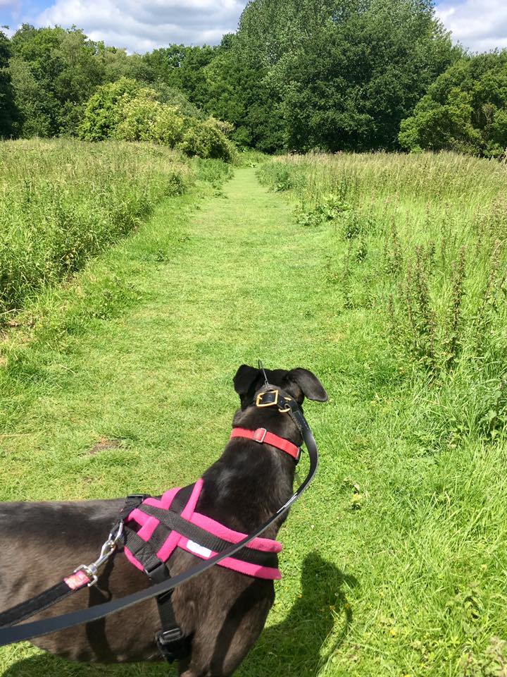
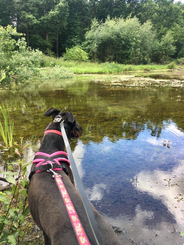
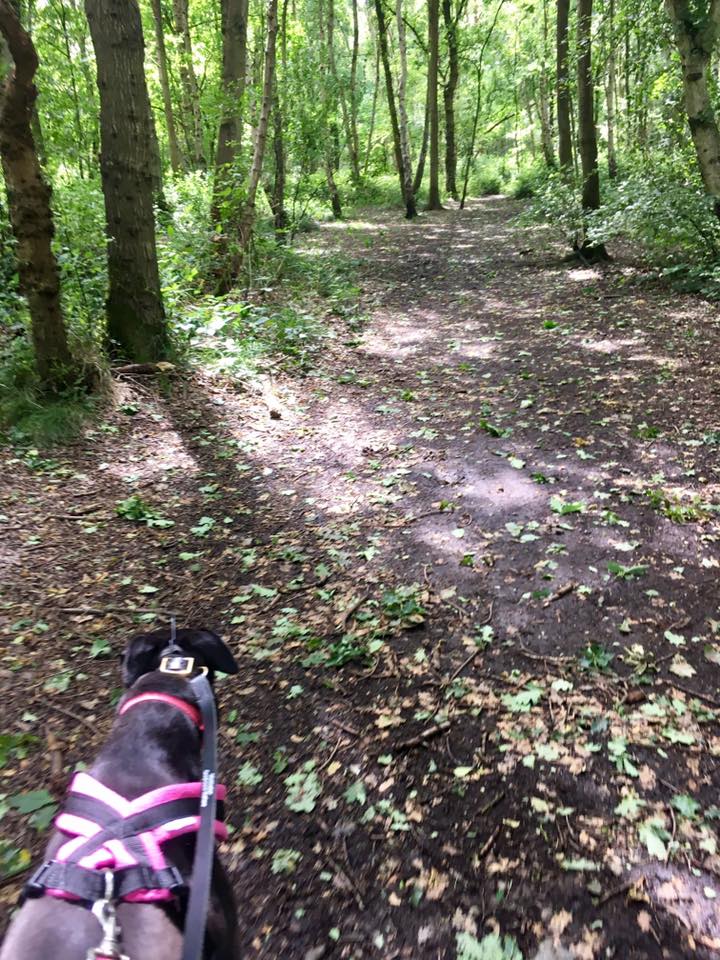
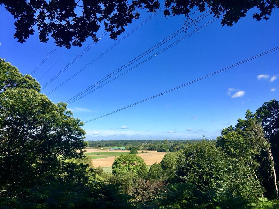
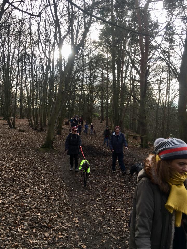
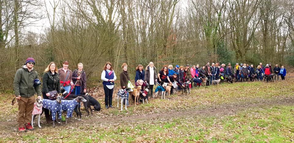
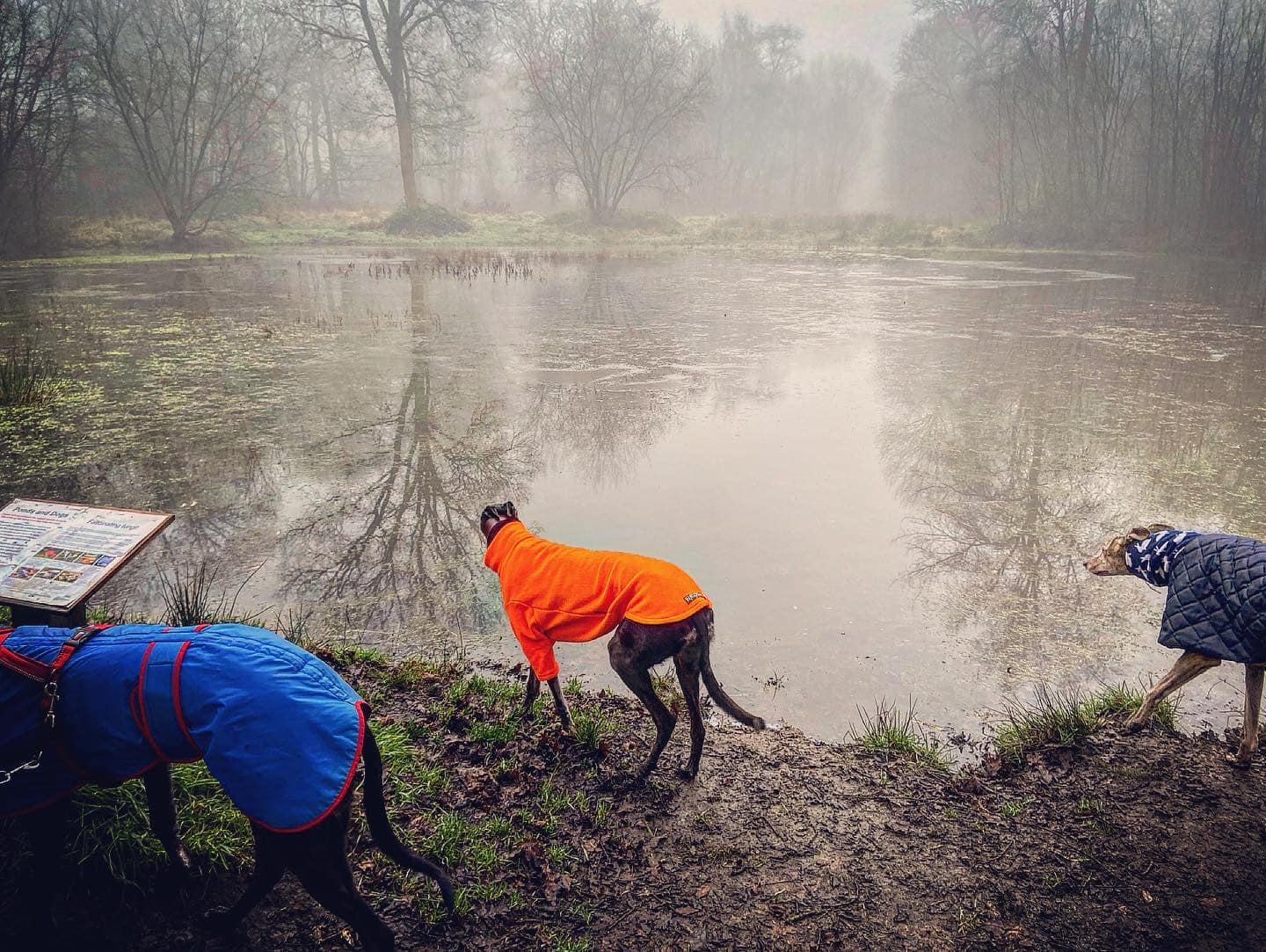
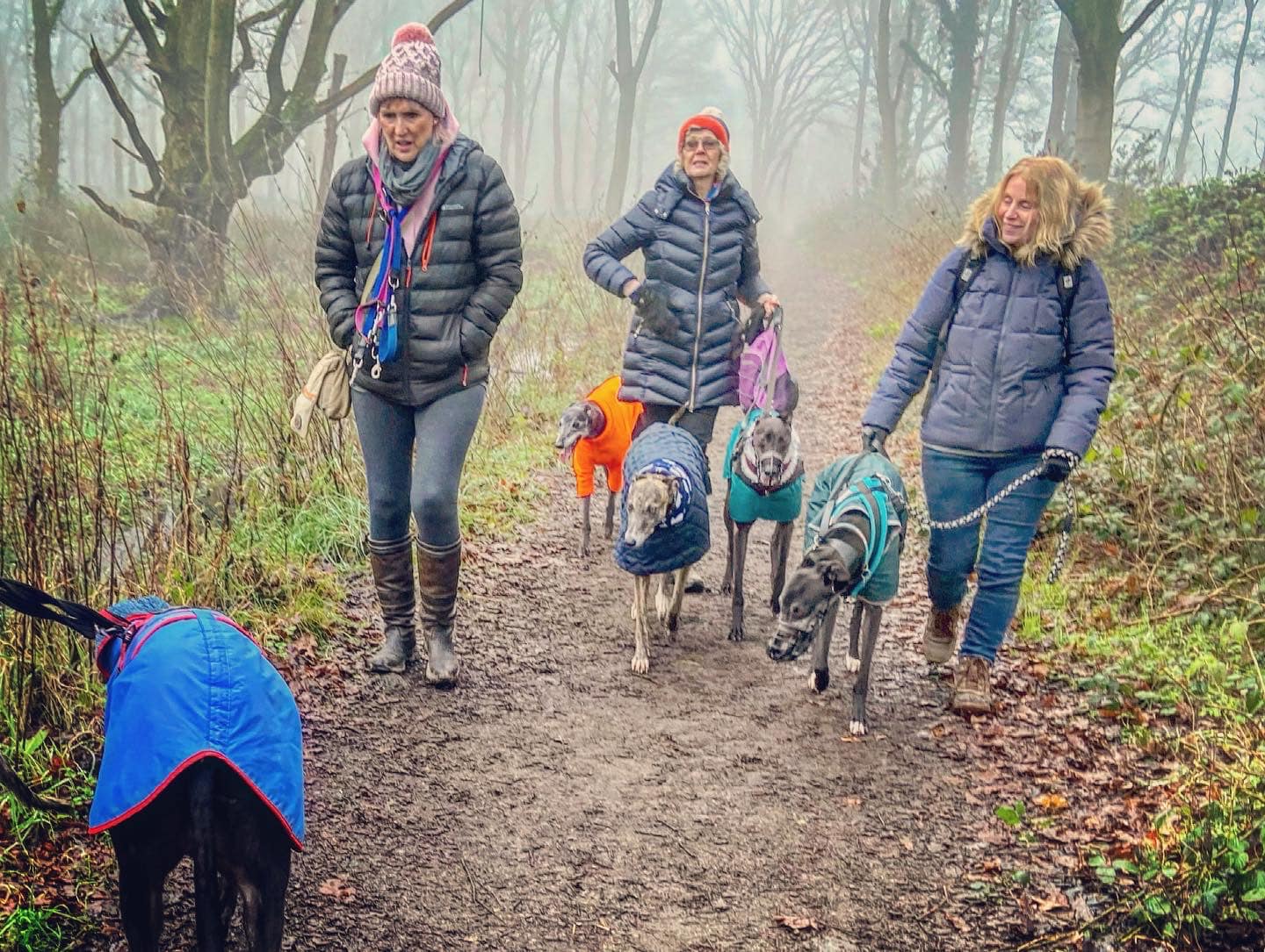
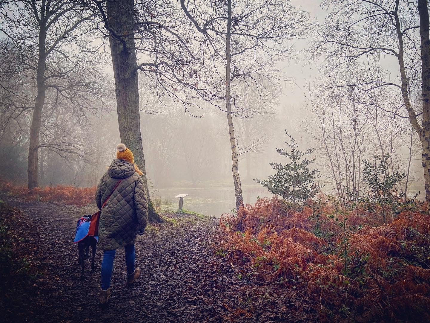
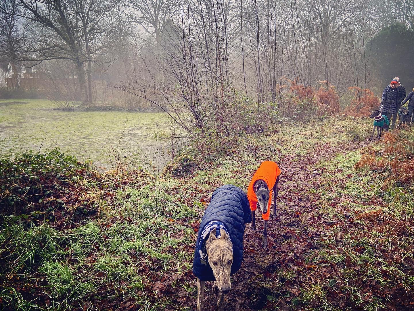
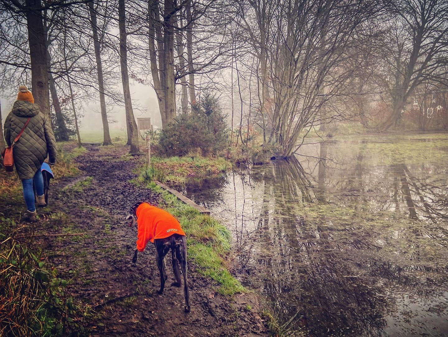
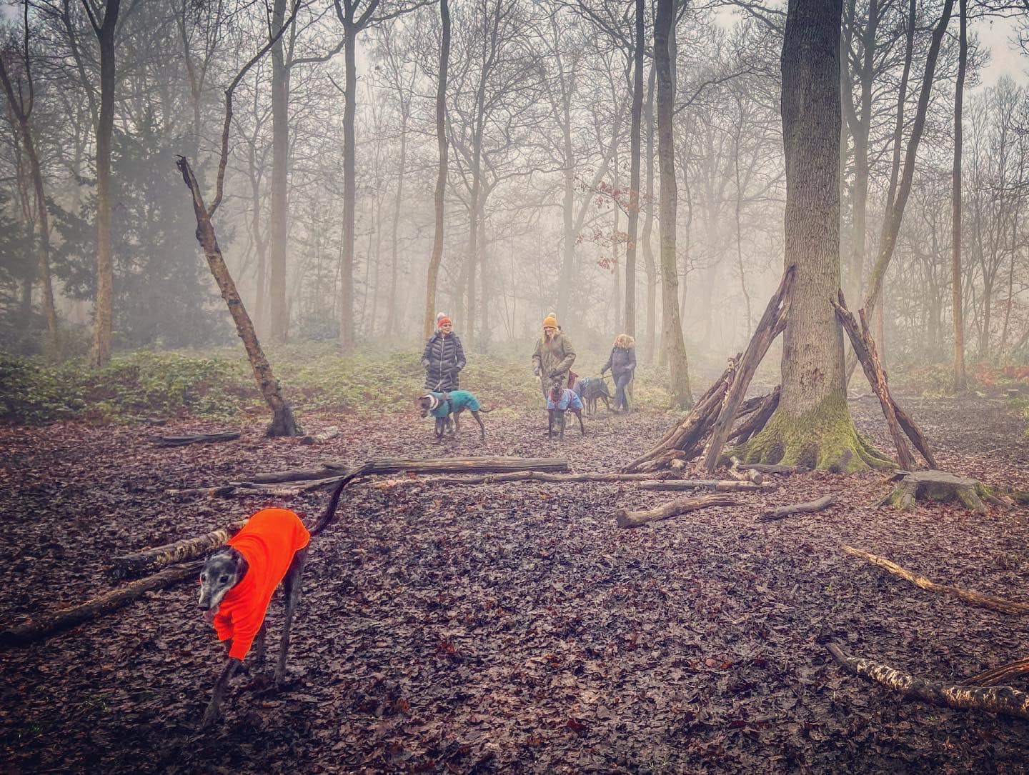
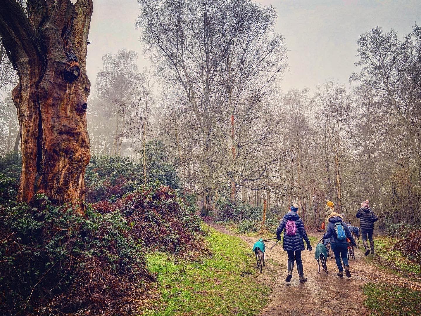
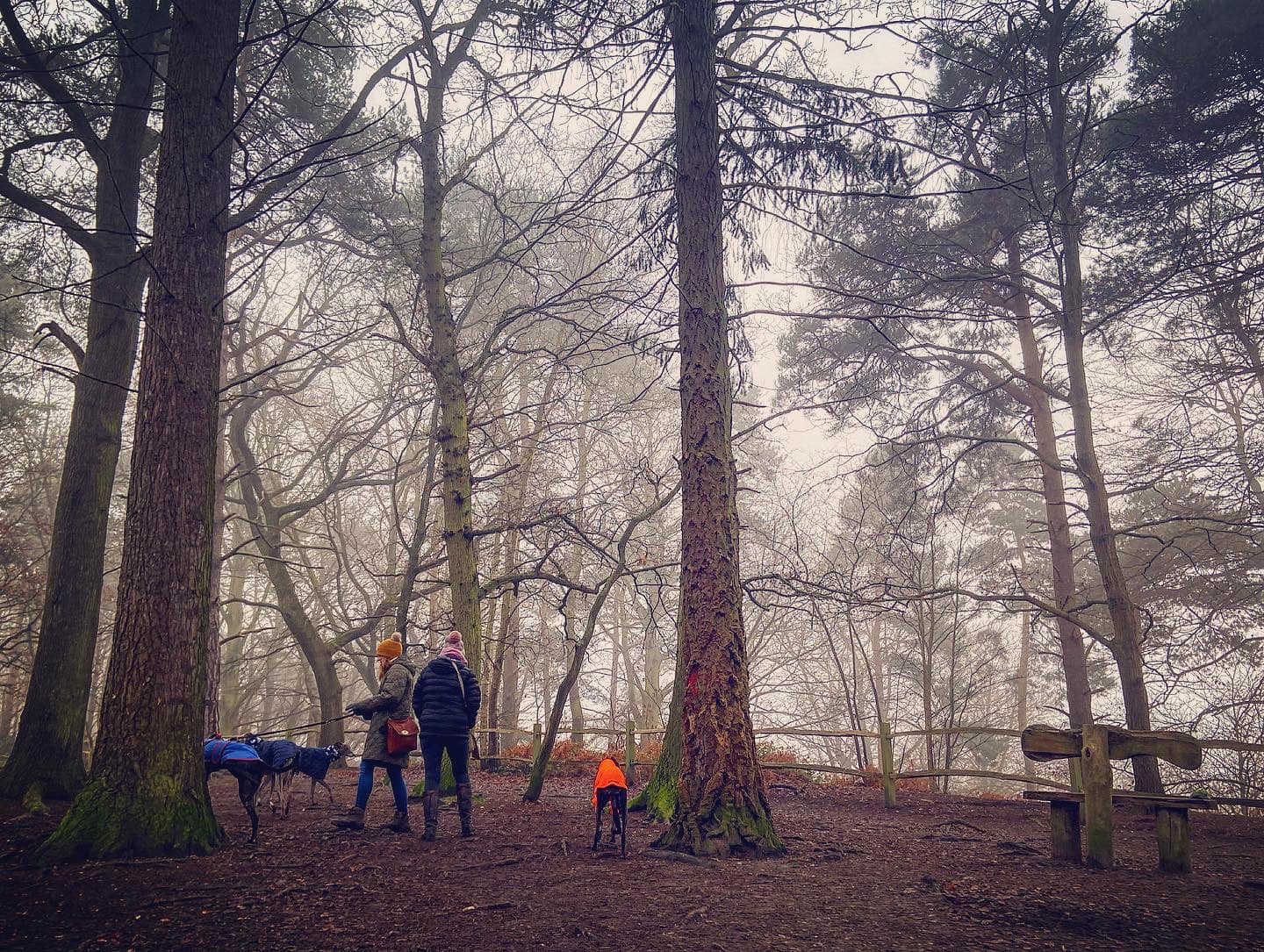
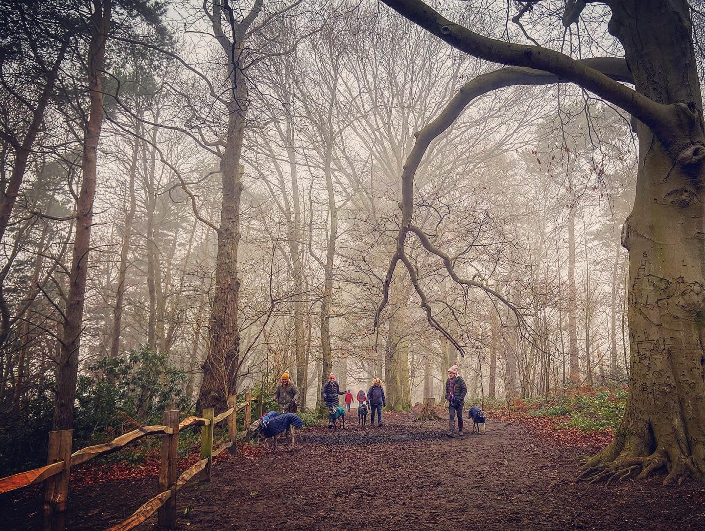
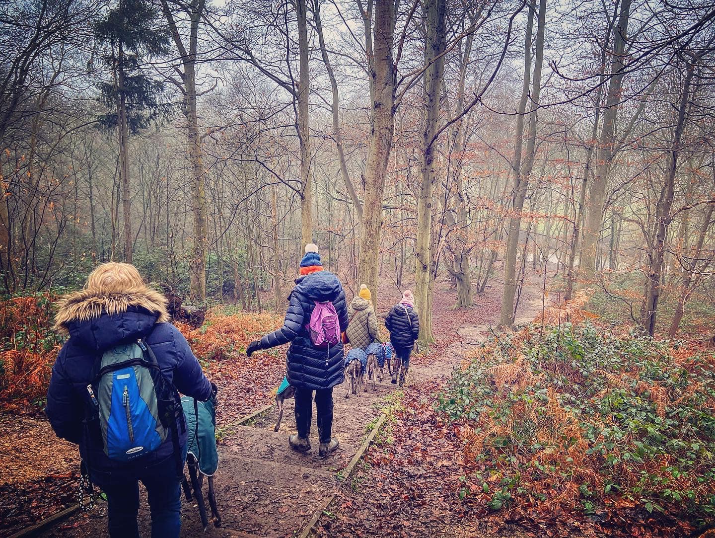
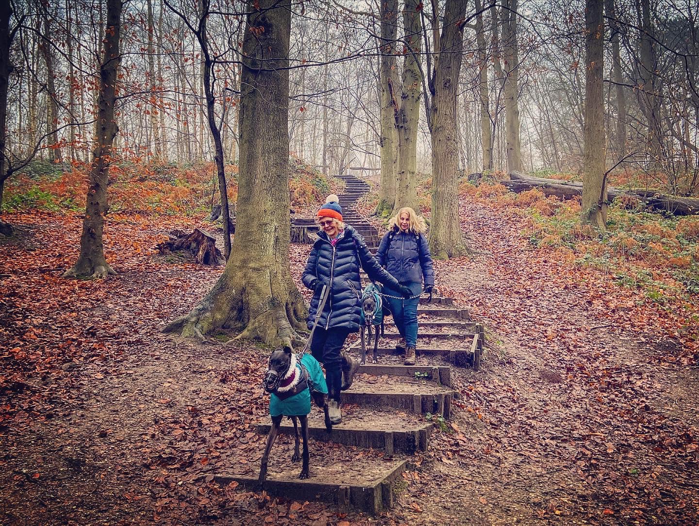
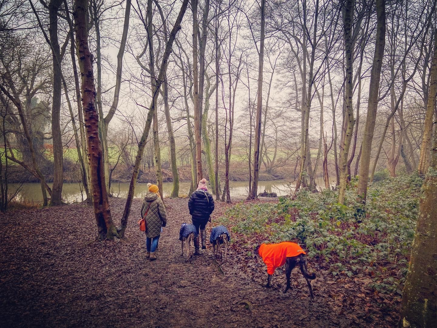
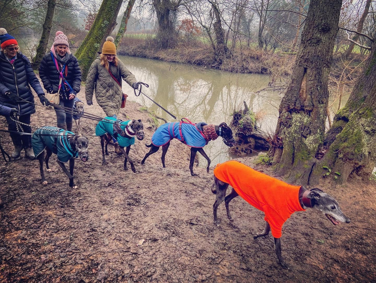
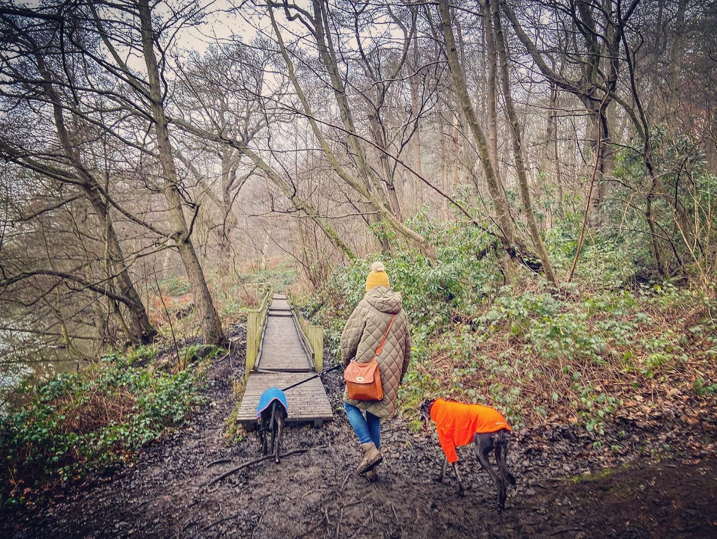
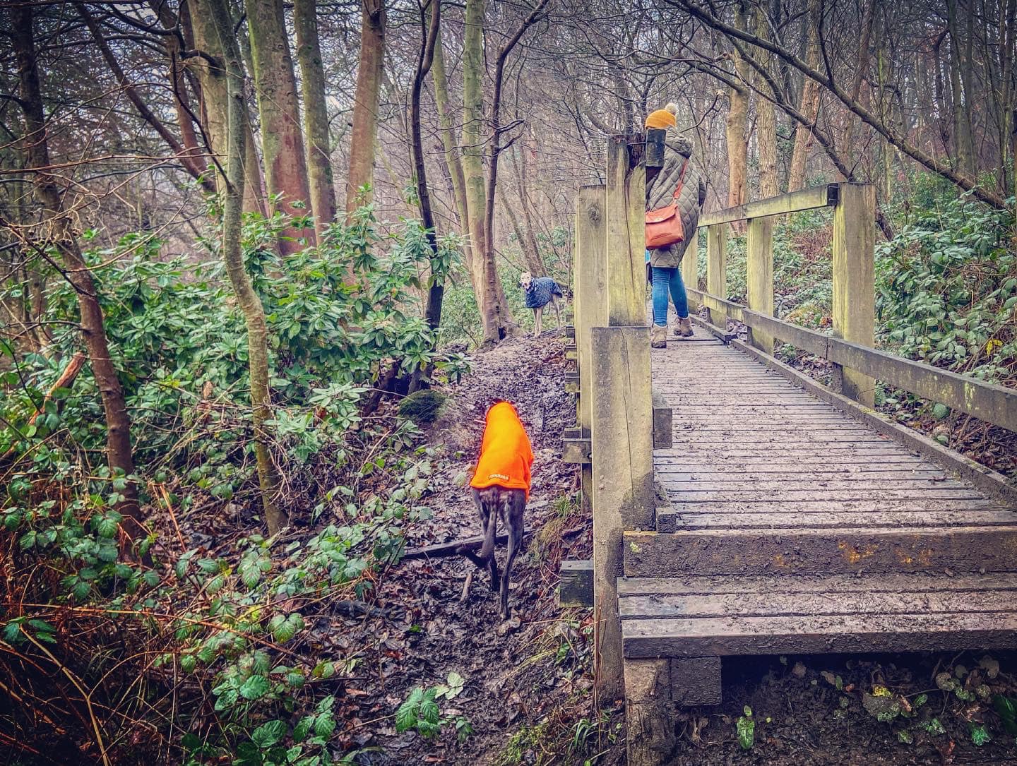
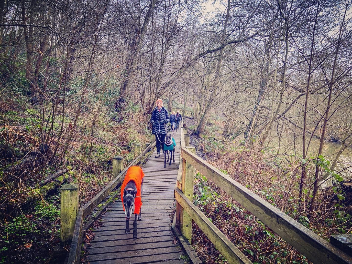
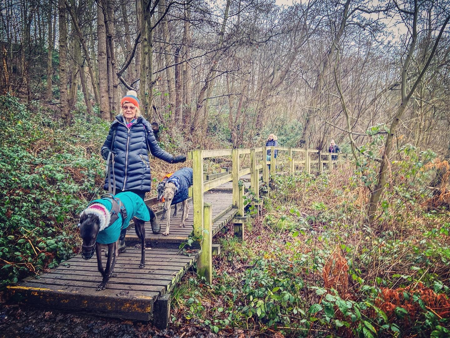
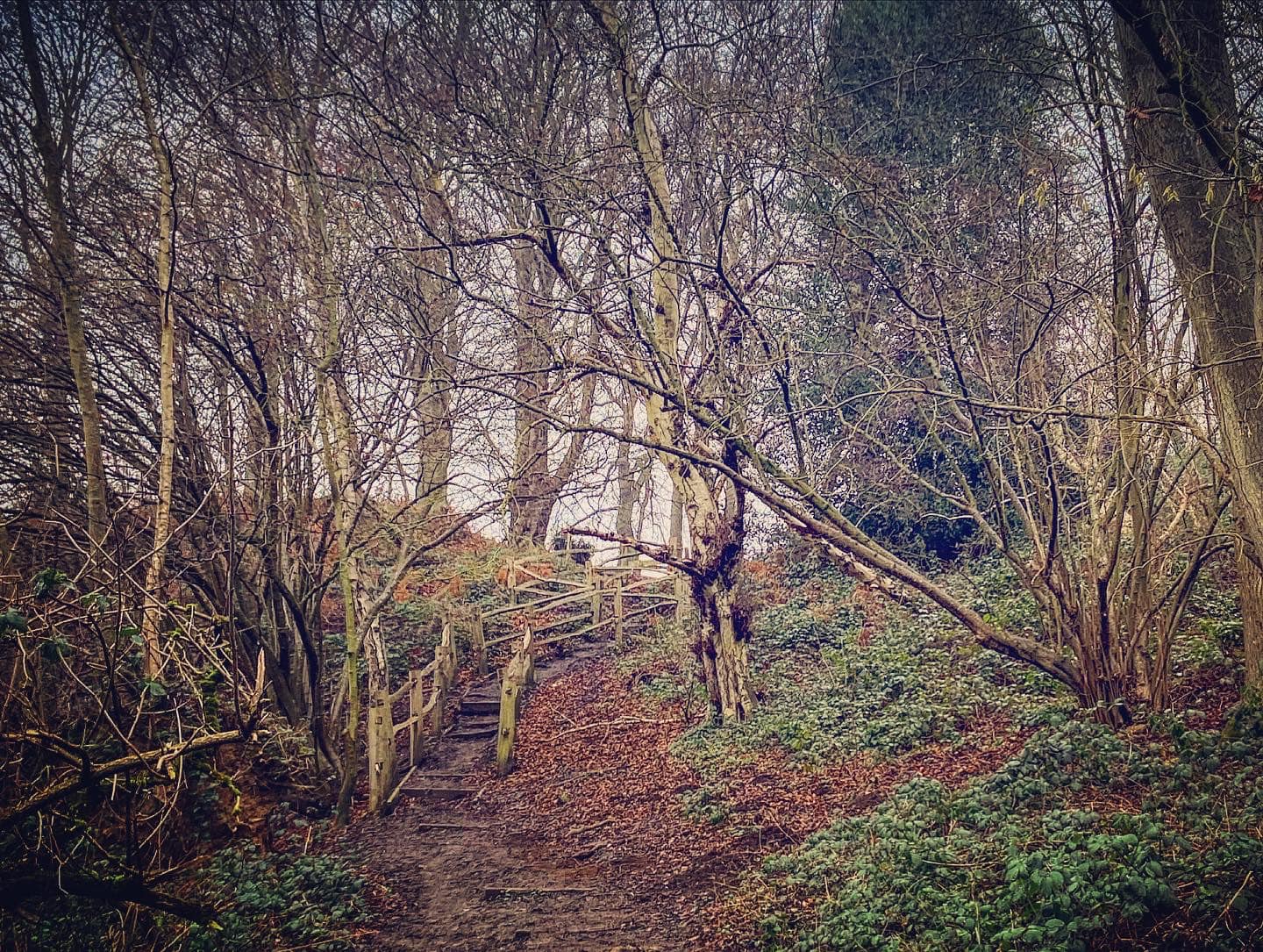
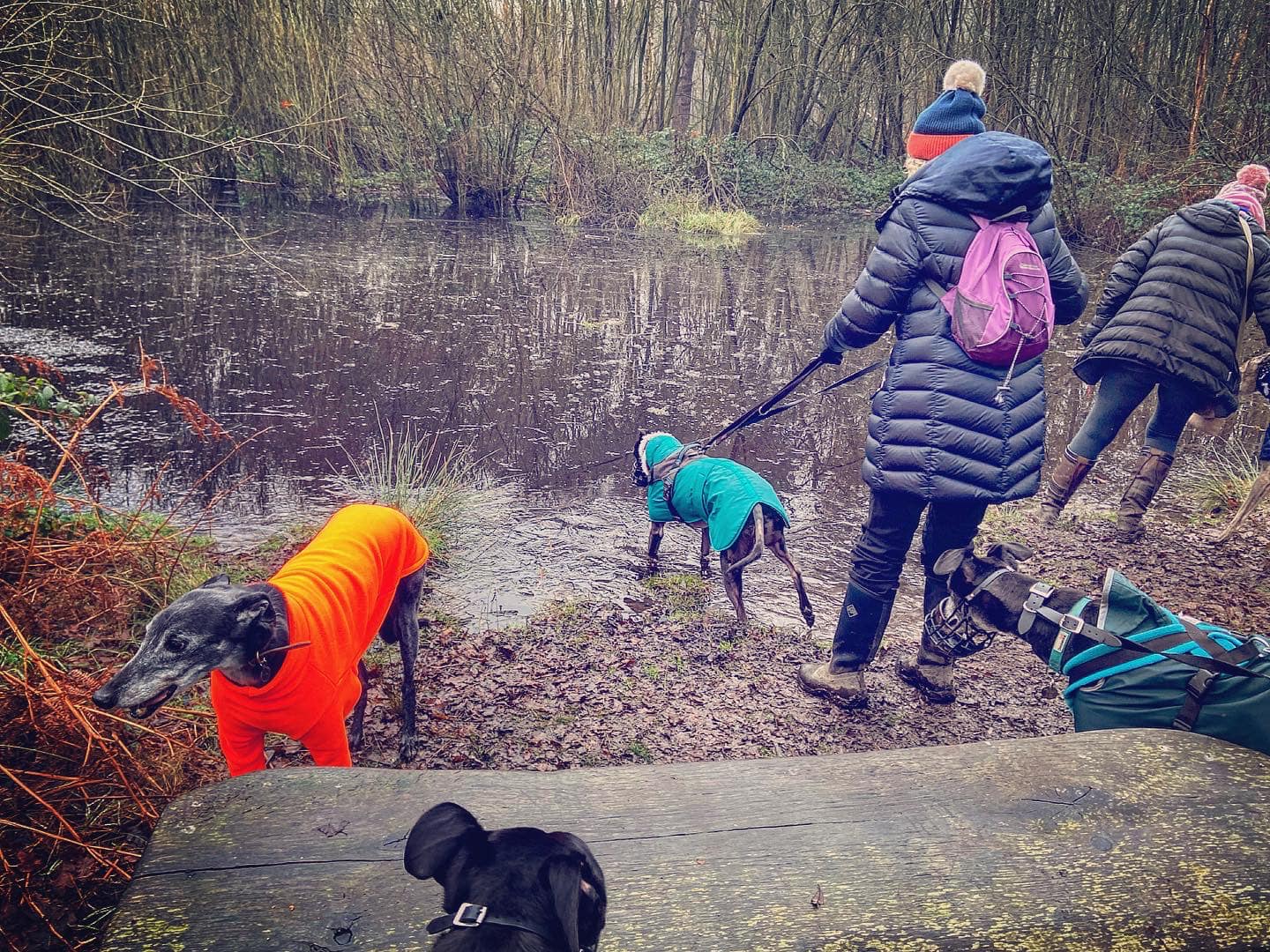
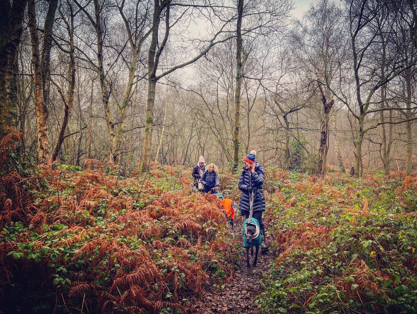
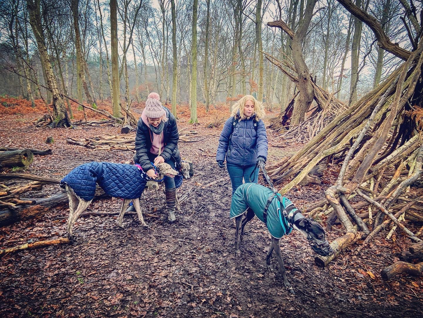
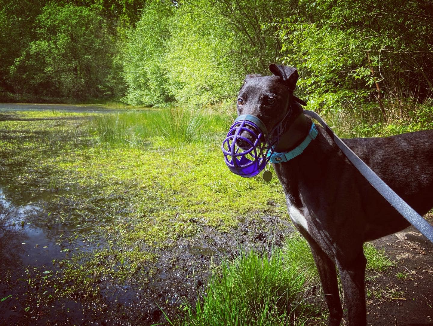
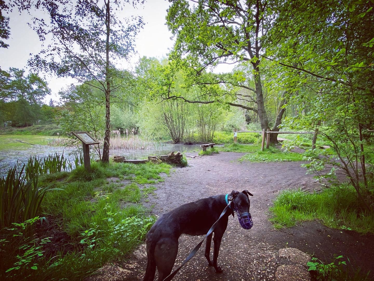
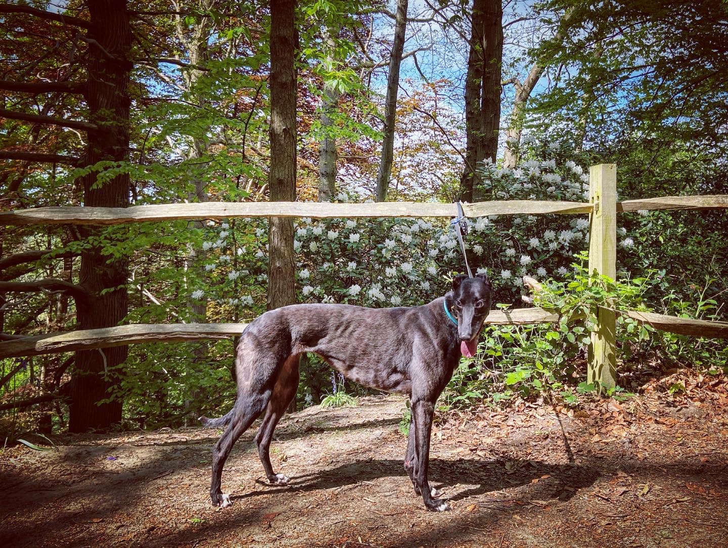
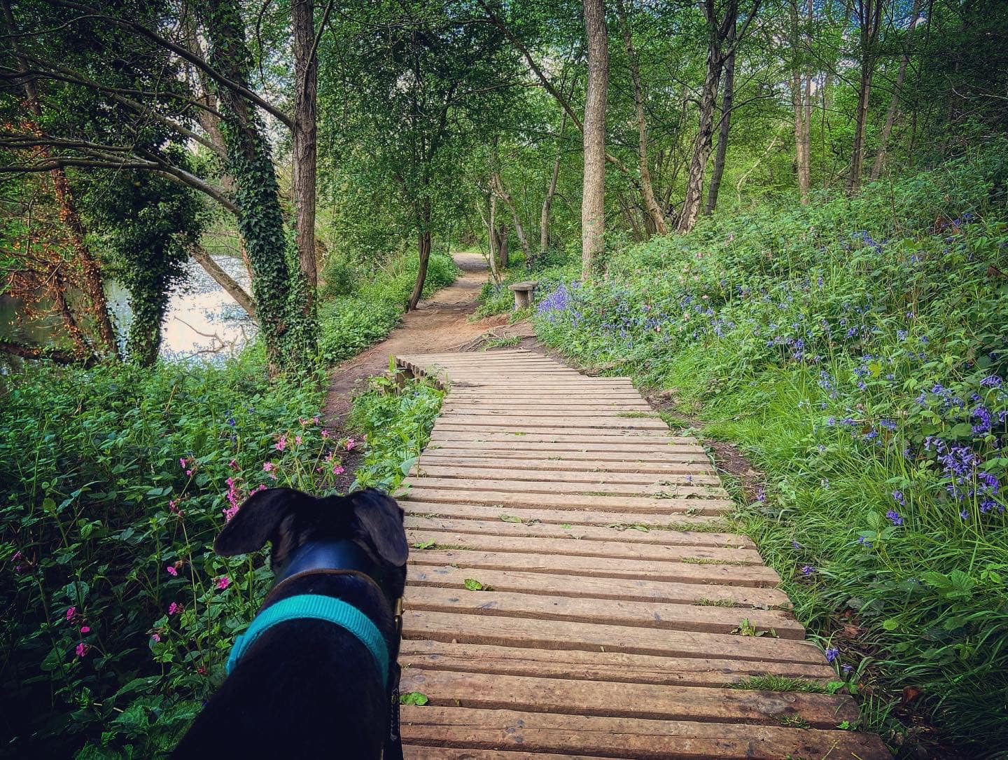
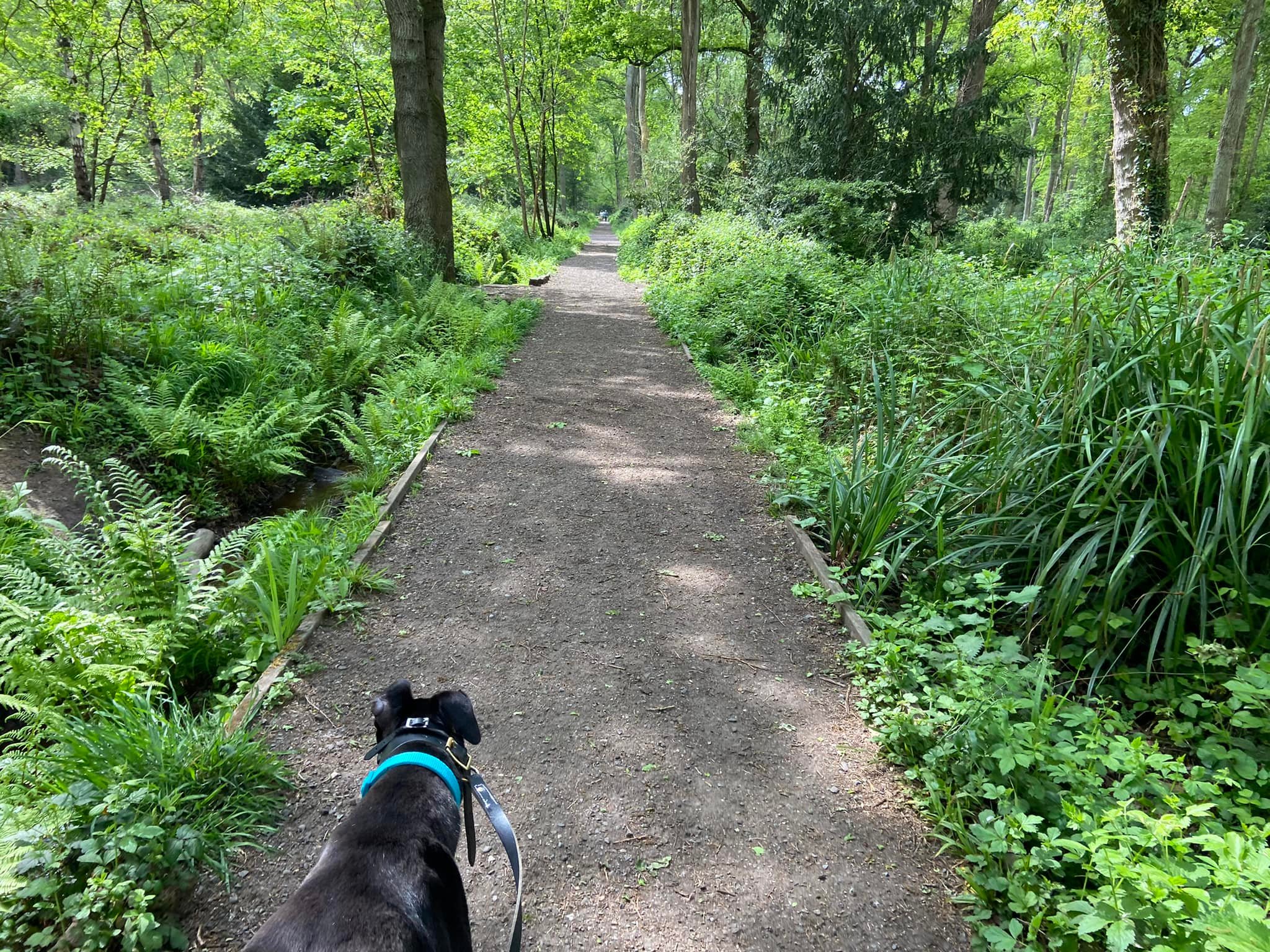
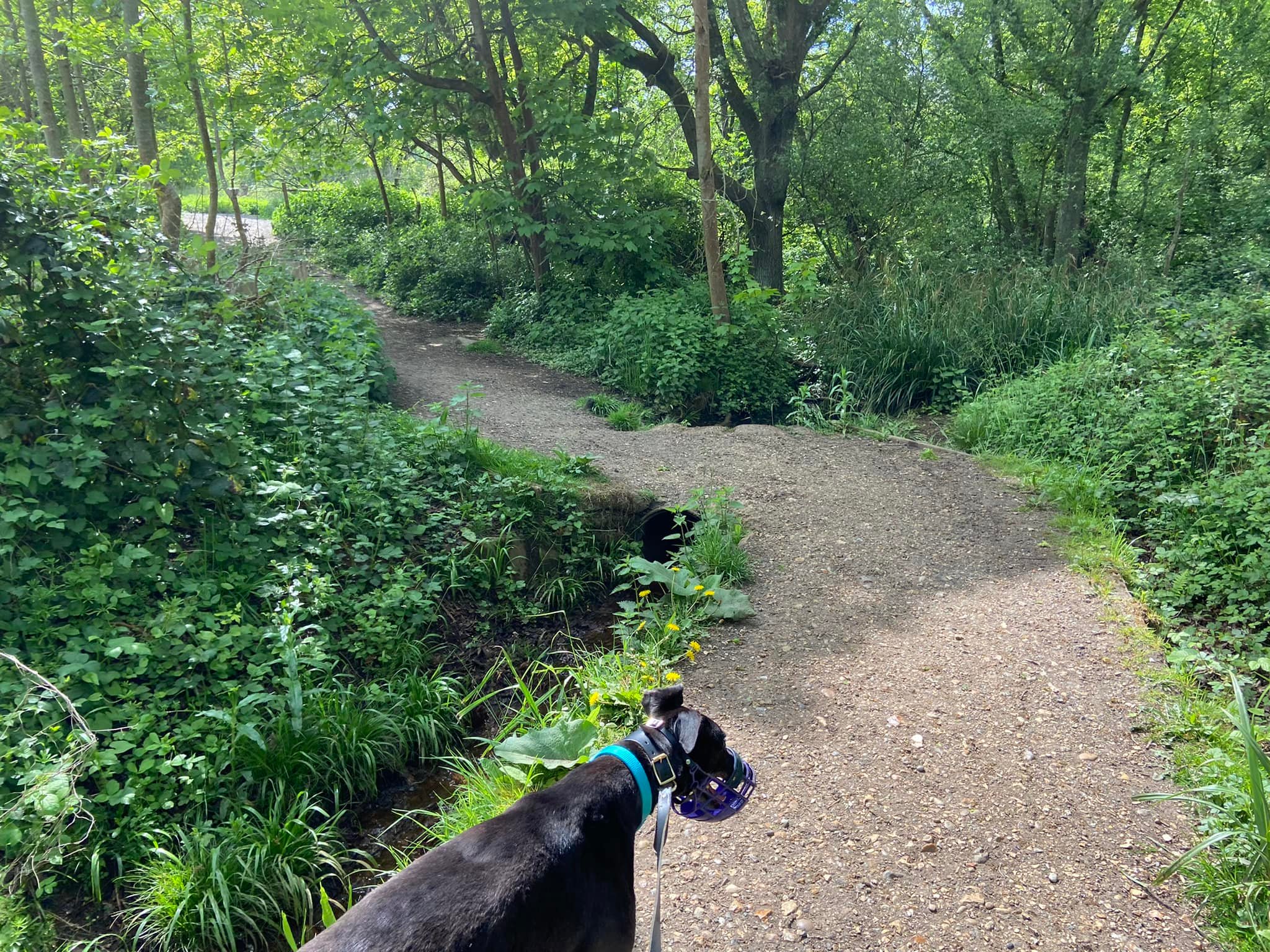
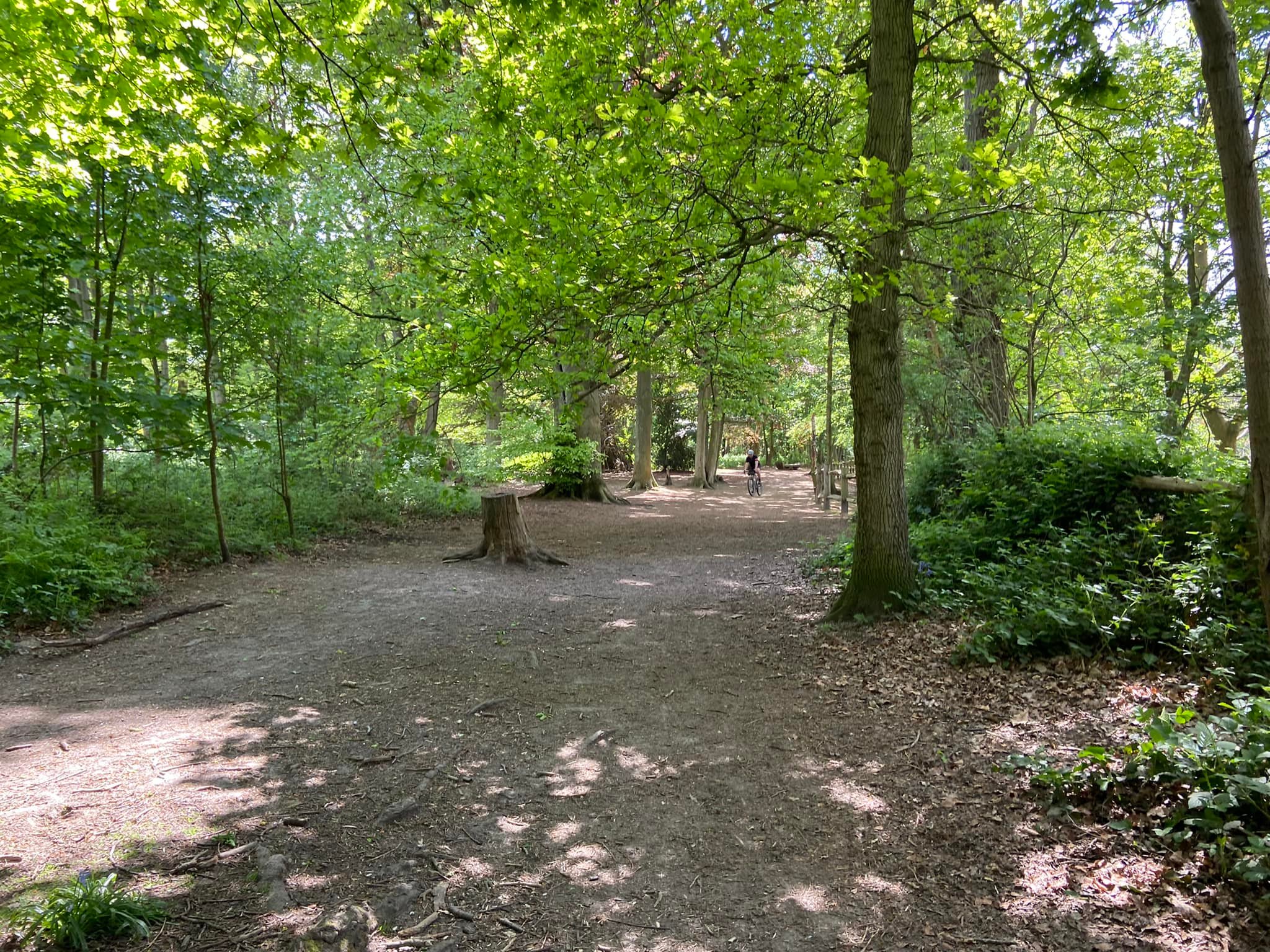
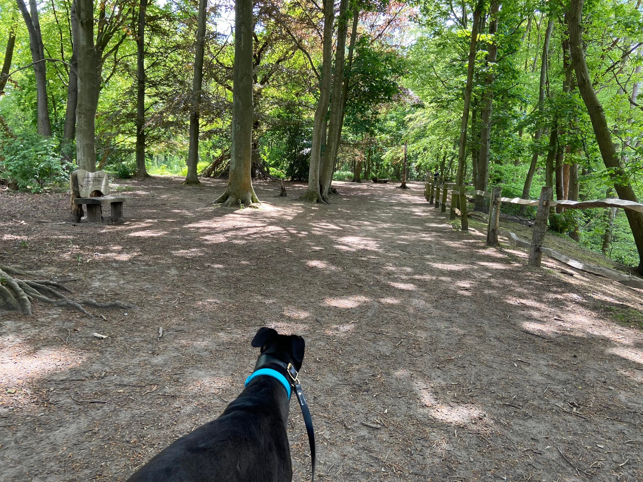
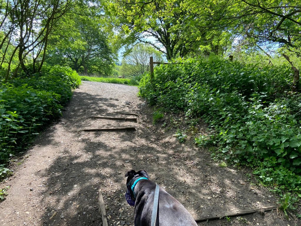
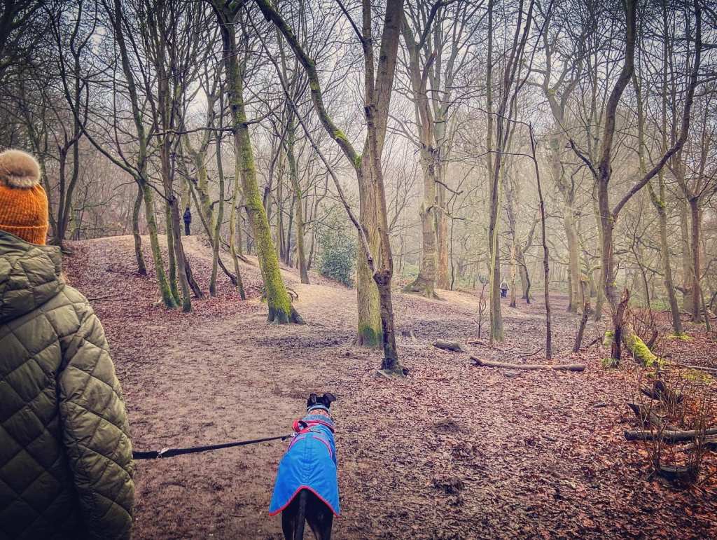
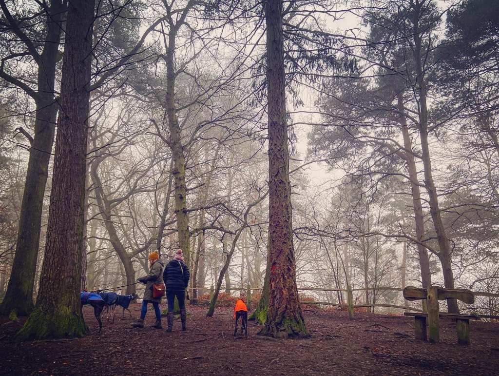
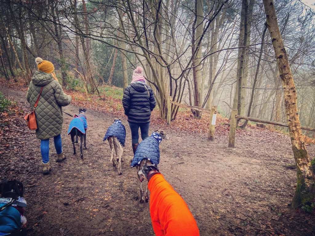
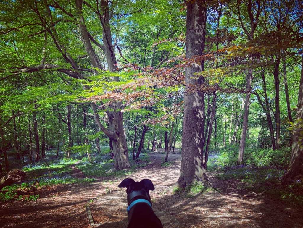
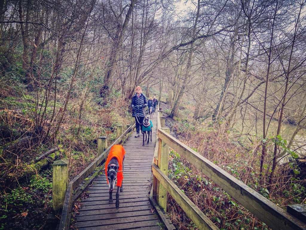
Gallery: What’s it like here?


Parking
There are a couple of car parks for West End Common – Winterdown Road car park, just along from Garsons Garden Centre, and West End Lane car park on the lane towards National Trust Claremont Garden.
I tend to park in the Winterdown Road car park, and there are also laybys along the lane leading up to it.
GOOGLEMAPS LINK: https://goo.gl/maps/woLMZszmcrnivsPc6
WHAT3WORDS: lately.singer.booth
NEAREST POSTCODE: KT10 8LT
Poo bins?
Poo bins at the car parks and on West End green by the pond.
Self-guided walk
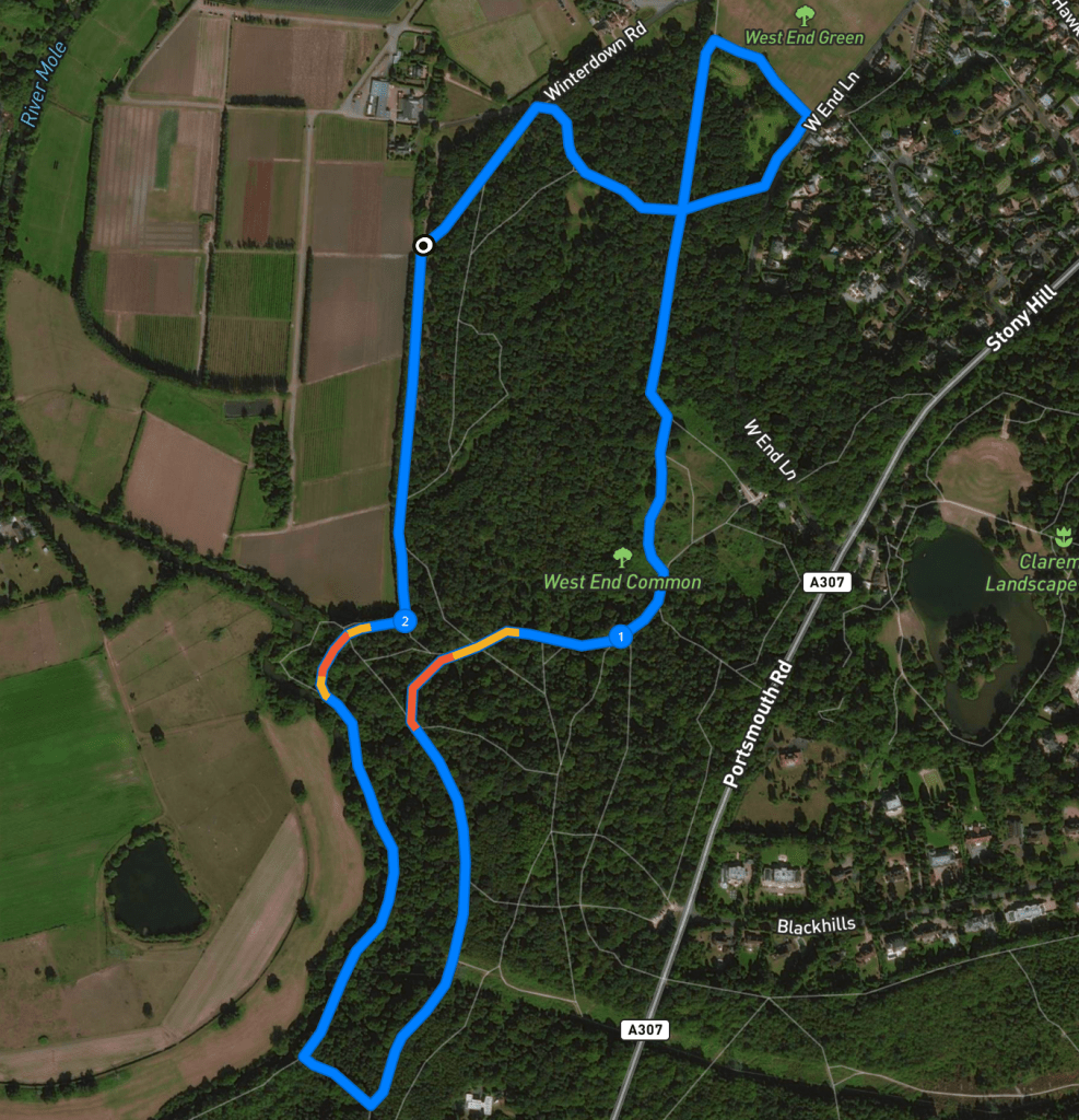
Here is a Footpath app route for West End Common starting at the Winterdown Road car park. Also on AllTrails. This route takes you around ponds, through woodland and up the hill, where it then skirts the ridge known as The Ledges, before heading down to the River Mole, along the riverbank, up steps to the top of the hill again and back to the car park.
Length: approximately 2.3 miles/3.7km
Terrain: Woodland slopes and steps (some quite steep), can be wet and muddy
Stiles/kissing gates? No stiles, no kissing gates
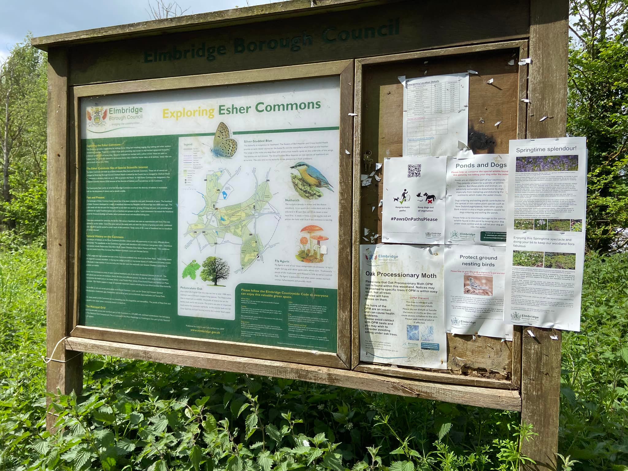
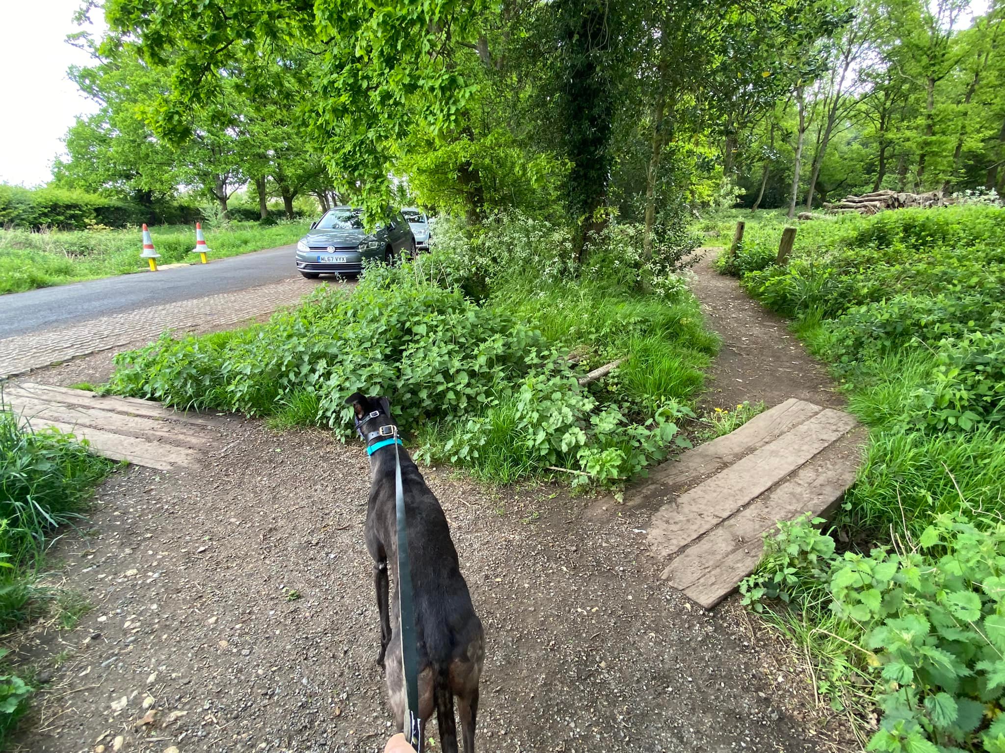
Go to the information board which is at the start of the path that leads away from the back of the car park. With your back to this information board, take the path that runs diagonally away from it over planks and towards Winterdown Road.
Keep your dogs on lead for this part of the walk as you want to take the path all the way to the roadside. When you reach it, one path over planks goes to the road but you want to take the other one, which also goes over planks but diagonally to the right. Walk a few more paces and then turn right to head away from the road and into the woods.
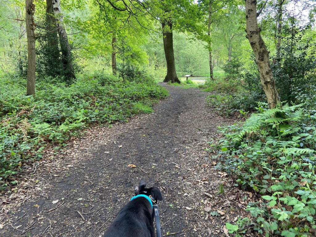
It’s often very muddy here, no matter the time of year. Follow the path ahead and it will go around the left-hand side of Margy Pond, one of six ponds dotted around the common.
When you come to the junction of paths at a large tree that has some stones marking the path edges, go straight across and continue ahead. (The path left to right is long and extremely straight and you will walk down it later!) You are now heading towards the road so if your dog is off lead, put it back on.
Before you reach the road, you’ll see a small path off to the left, which goes to the left of Chequers Pond. Turn left and walk around the left-hand side of this pond.
Just after you pass Chequers Pond, you’ll go over a wooden bridge and come out of the woods onto West End Green next to an information board about the common’s ponds.
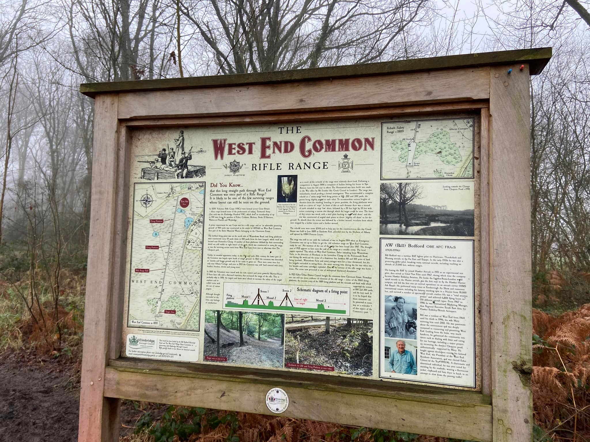
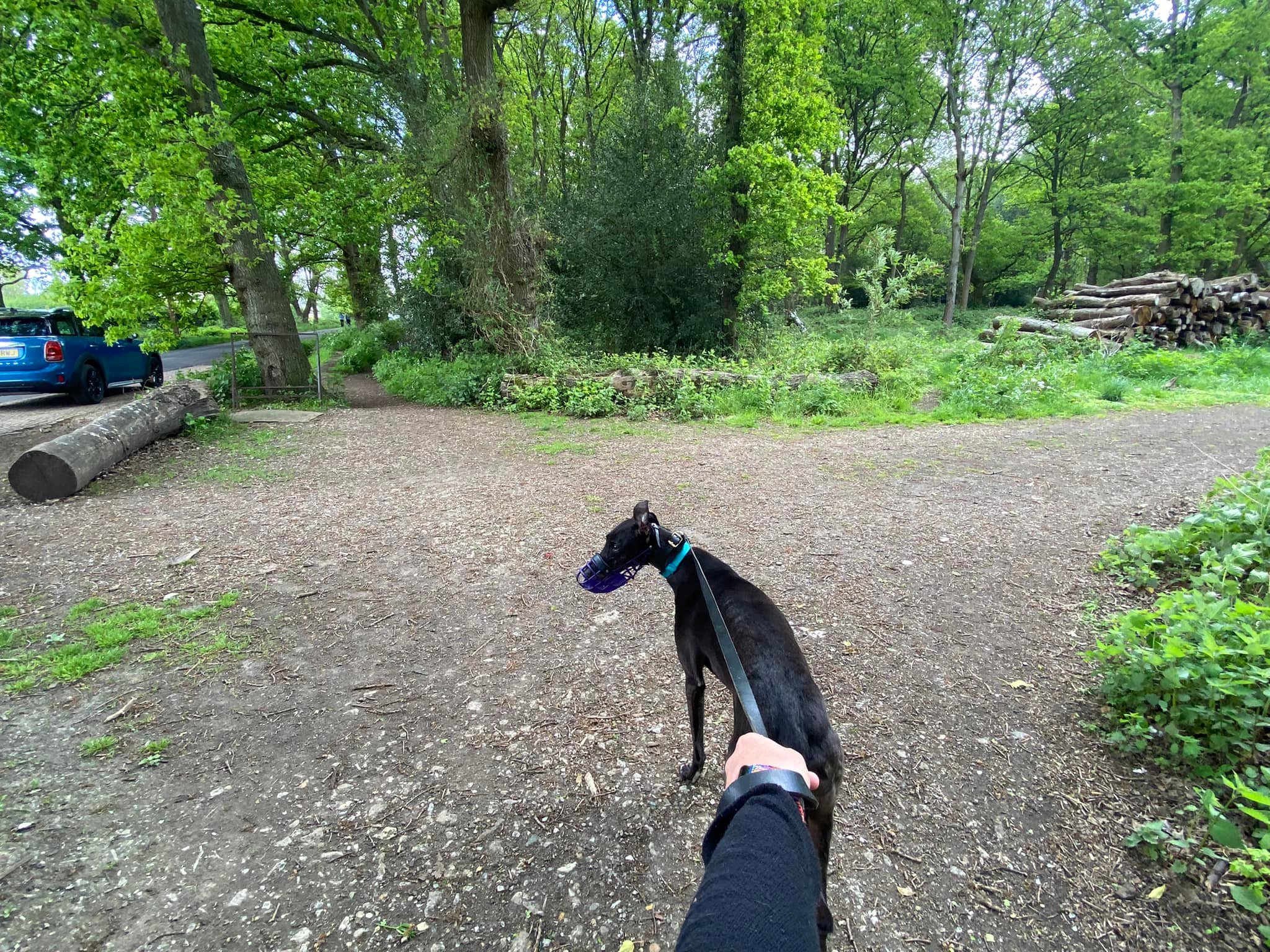
Turn left here and walk along the edge of the woods with the cricket green to your right until you get to a wide path heading back into the woods to the left, which has an information board next to it about the old rifle range. Pass to the right of Halfpenny Pond, and through the wooden barriers and onto the very straight path ahead.

This path used to be part of the rifle range mentioned on the information board and is one of the very few surviving ranges where the layout can still be seen on the ground. Constructed in the winter of 1859-60 when there were no woods on this part of the common, it was 900 yards long with firing platforms every 50 yards down to 100 yards from the target. The range was in use until the outbreak of the First World War in 1914.

Towards its end, this rifle range path curves sharply to the left and if you look over the foliage to your left, there’s Ash Pond but it can be hard to see as it has lots of aquatic plants and reeds. The path then goes up a few steps and through a wooden barrier.
At the top of the steps, take the right-hand fork (the path to the left goes to West End Lane car park by the way), then at the next fork, keep right again (this left grassy path also goes down to the West End Lane car park.)
At the T junction at the end of this path, turn right. Ignore the first path to the left and continue ahead to a small wooden post and pass a small bench on the right, ignoring the path to the left that goes up the hill. Continue on as the main path snakes to the right and then curves around some big mounds on your left. These mounds are the site of the old target for the rifle range you walked down earlier.
Stay on the main path and you will get to a fork, which has a tree right in the middle of it, take the main left hand path towards a marker for the horse ride and a dead tree. Go straight over the cross paths and pass the dead tree, which will be on your left.

Just after the tree there is a wooden post, turn left immediately before or after it (it doesn’t matter!) and head up the hill. It’ll curve to the left and, when you get to the top where there is a bench in front of you, turn left and walk along the path at the top of this ridge. This is lined by a fence on the right-hand side and known as The Ledges. The sharp drop to the right goes down to the River Mole.

Pass a bench on the left dedicated to Millie (Clare) Walker and, shortly after that, a bench that looks a bit like a canoe and way marker 35. Pass way marker 34 and then the electricity pylon. The path goes back into the trees. Pass a bench set back on the right-hand side as the path descends slightly to the left. Keep right at the junction of paths, and then turn right through a gap in wooden barriers and down a long set of steps.
If you do this walk in late April/early May, you can expect to see a pretty wash of bluebells as you ascend these steps.
When you get to the river, turn right and walk along its bank. This is a long stretch that is often muddy in the colder, wetter months and goes over a number of boardwalks. These can be slippery and one of them is missing some slats so take good care.
In the springtime, you can expect to see bluebells, wild garlic and other delicate spring flowers on either side of the path and spreading up the slope to your right.

After some way, you come to a fork in the path (although in the winter time, it may not be clear and may instead feel like you have reached the end of the bank-side path; in the spring and summer, you may see that a small path continues ahead). A path will curve to the right and head up steps that zigzag to the top of the hill. These are steep but there aren’t that many of them and it’s the easiest way back up.

At the top, get your breath back and then take the path ahead that skirts the field, which is behind the fence on the left. At the junction of paths at the bottom, turn left and continue along the edge of the field.
This path takes you in a largely straight line back to the car park.
While on this final straight path back to the car park, if you want to de-tour to see Lardy Pond, this is where it is:
Ignore the first main path on the right next to the way marker with the blue arrow. Shortly after, there’s a bit of a clearing where paths come together. Traverse diagonally across it, passing some stumps, to a small path over a wooden plank bridge. Go right at the fork to Lardy Pond. When you’re done here, you can follow the path that goes along the left-hand side of the pond, which should take you back to the main path but this is often very overgrown and boggy so you may prefer to turn back the way you came and retrace your steps from the pond to the main path, turning right onto it and down to the car park.

Leave a comment