Page contents
About
Gallery
Parking
Poo bins?
Self-guided walk
About
Newark Priory is a ruined priory next to the River Wey at Newark Lock between Ripley, Send and Pyrford and to the east of Woking Palace (see this Walks with Rena post for a walk that includes a view of the ruins of that old building.) It is a Grade I listed building and protected Scheduled Monument, meaning it should forever remain in ruins just like it is today.
It was constructed in the 12th century by Augustinian Monks (also known as the Black Canons because of their black hooded cloaks and cassocks) on land owned by a chap called Ruald de Calva and his wife Beatrice de Sanders (or de Sende) with the permission of Richard I. Dedicated to the Virgin Mary and Saint Thomas Becket, it was originally called Aldebury. By 1210, it had been renamed Novo loco de Andebir or ‘new place of Aldebury’, which later evolved into ‘Newark’, also meaning ‘new place’.
In its heyday, Newark Priory was a significant complex of buildings surrounding an important church and home to a community of around 200 people. It became quite prosperous, with rents from properties it owned locally, in London, Rochester and Winchester bringing in an annual income of about £35, which equates to a value of around £45,000 in 2021. (Is £45,000 rental income for an entire priory “prosperous”? I think today’s landlords would cry with laughter.) Anyway, the Black Canons went on to use their wealth to found the St Thomas’ and St Bartholomews’ hospitals in London, establishments which are today staffed by magnificent people on a shoestring as the Government continues its relentless assault on the NHS.
And breathe.
Back to the priory. The crews of the barges that used the river to transport goods to London believed there was a network of secret tunnels running from beneath the priory to various destinations, including a nearby nunnery. Oi oi. One story goes that one tunnel ran all the way to Guildford, passing under the river no fewer than five times – but the story doesn’t say what this tunnel was used for. Of course there was, predictably, absolutely no evidence of any tunnels in the vicinity whatsoever when it was excavated in 1928 and again in 1988.
Anyway, the priory, along with all other monasteries, was dissolved by Henry VIII in 1538 when he had his monumental tantrum about not being allowed to divorce wifey number 1, Catherine of Aragon, to get it on with wifey number 2, Anne Boleyn, as Catherine had failed to provide a male heir. Henry’s Chancellor, Thomas Cromwell, orchestrated a series of events that led to the king declaring himself head of his own church so that he could, in effect, grant himself his own divorce. And. thus, the Church of England was founded on such noble principles.
With the monasteries closed, the prior of Newark Priory was pensioned off, which was pretty lucky for him really as many of his peers were hanged. All valuables were sent to the Tower of London and the land was given to the Master of the King’s Horse, the guy in charge of all the king’s horses (but not all the king’s men). Apparently, Thomas Cromwell even had a cannon placed at the top of nearby Church Hill (just up Newark Lane where the church stands on the corner) and used it to demolish most of the priory buildings. What was left was then ransacked by locals for building materials such that all that now remains are the ruins of part of the church.
Newark Priory, which is now on private land and closed to the public, was placed on the English Heritage ‘Buildings at Risk Register’ in 2007 as substantial funds need to be raised to prevent further deterioration to the ruins. In 2021, Extinction Rebellion staged a trespass of the site, endorsed by the Right to Roam campaign, to highlight how the general public has access to just eight per cent of land in England.
Gallery: What’s it like here?

Parking
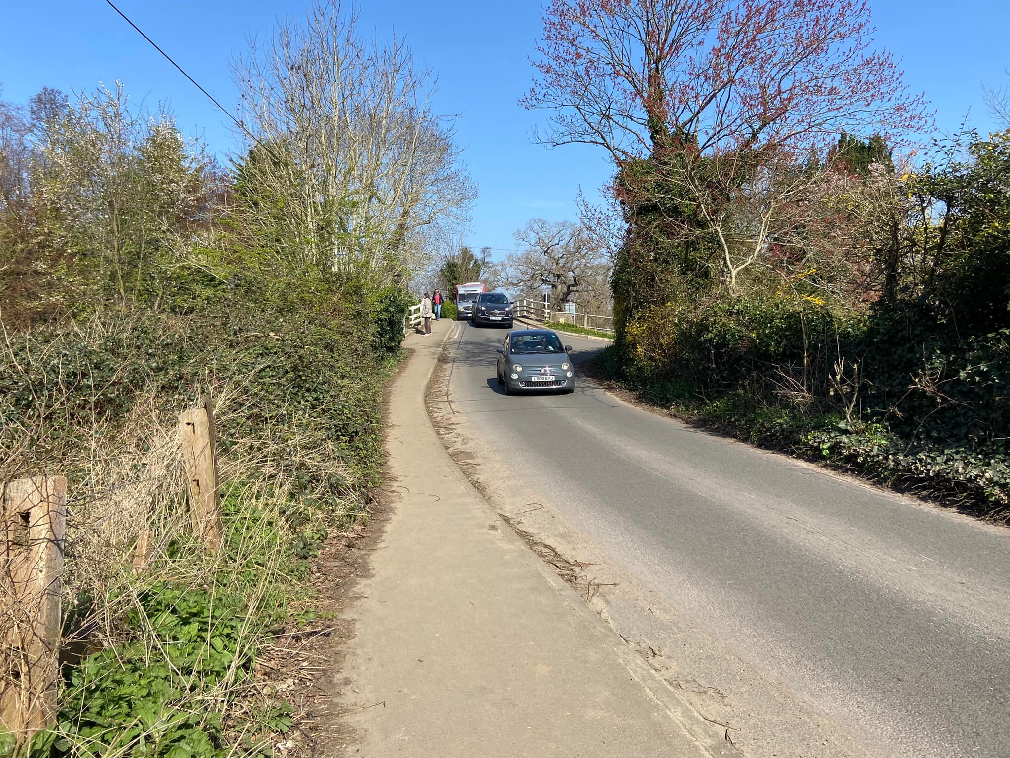
Park in the little free car park by the traffic lights on Newark Lane. There are some mighty potholes in the car park so you’ll want to go at a snail’s pace.
Poo bins?
There are some bins on the golf course part of the loop on this page, otherwise please take waste home with you.
Self-guided walk
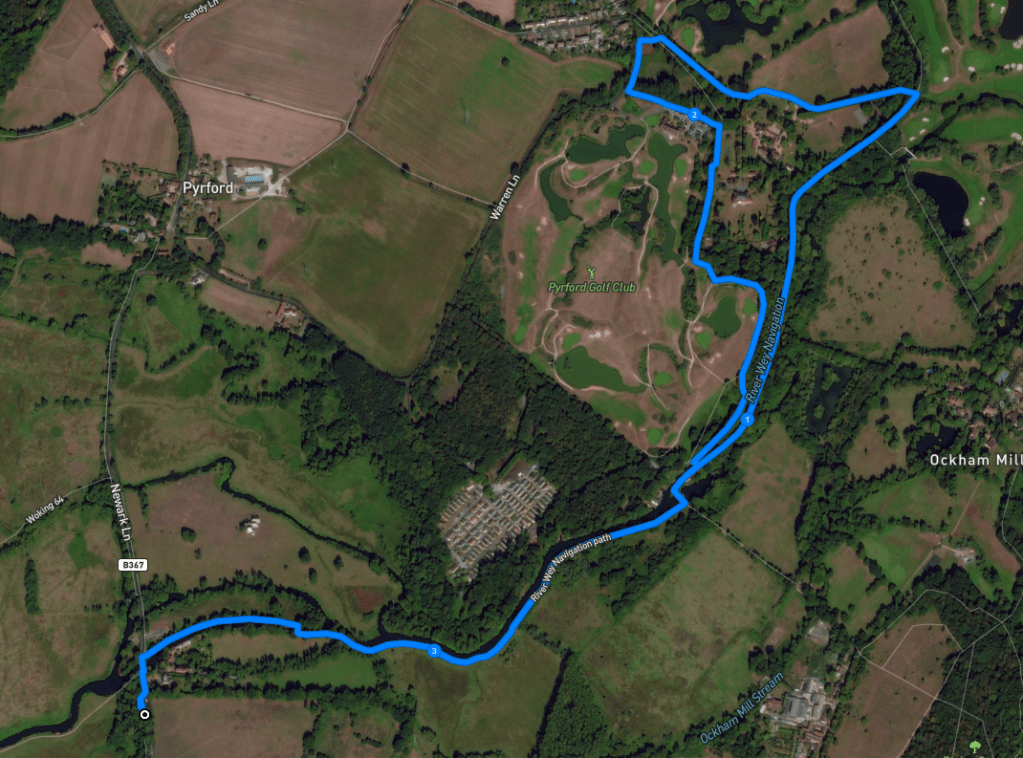
Here is a Footpath app route from the Newark Lane car park, which takes you up the Wey Navigation past Newark Priory and John Donne’s Summer House, before looping round through the golf course and then back along the canal. The route is also on AllTrails.
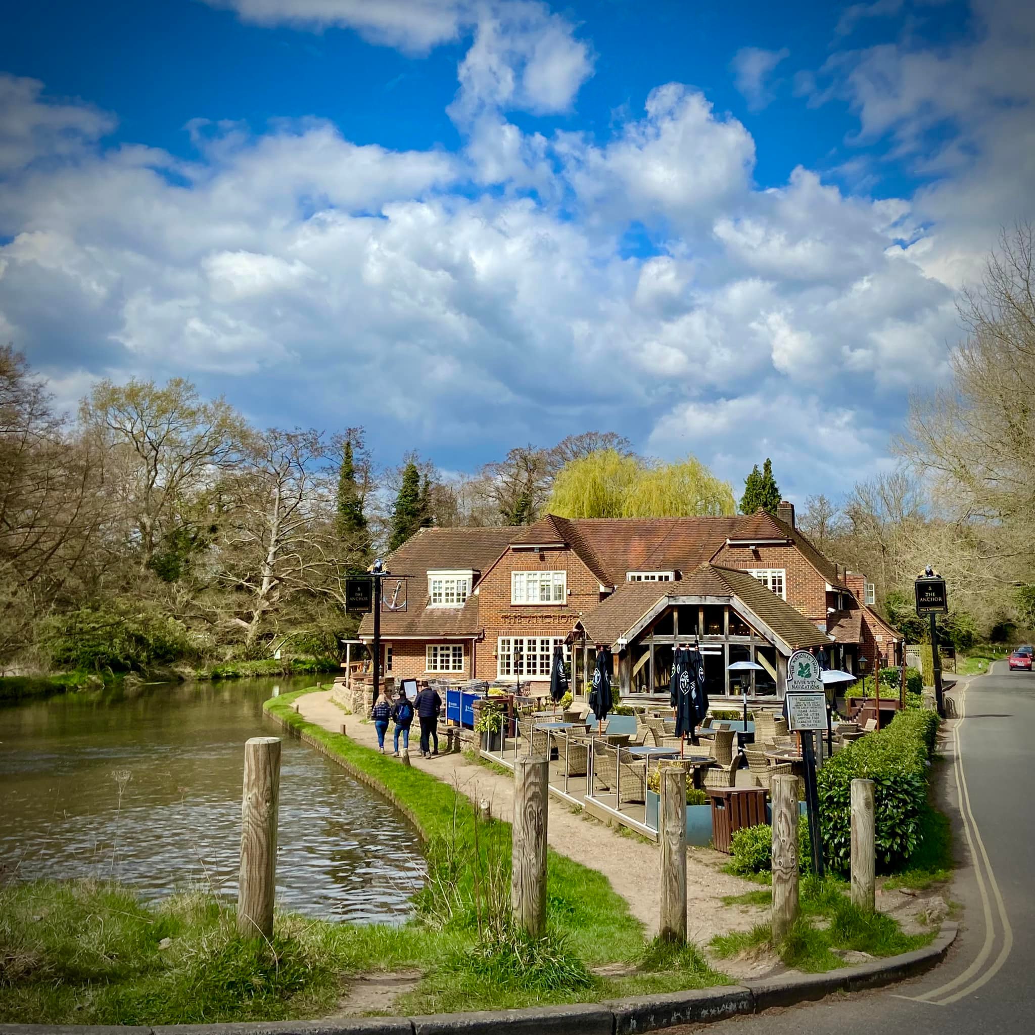
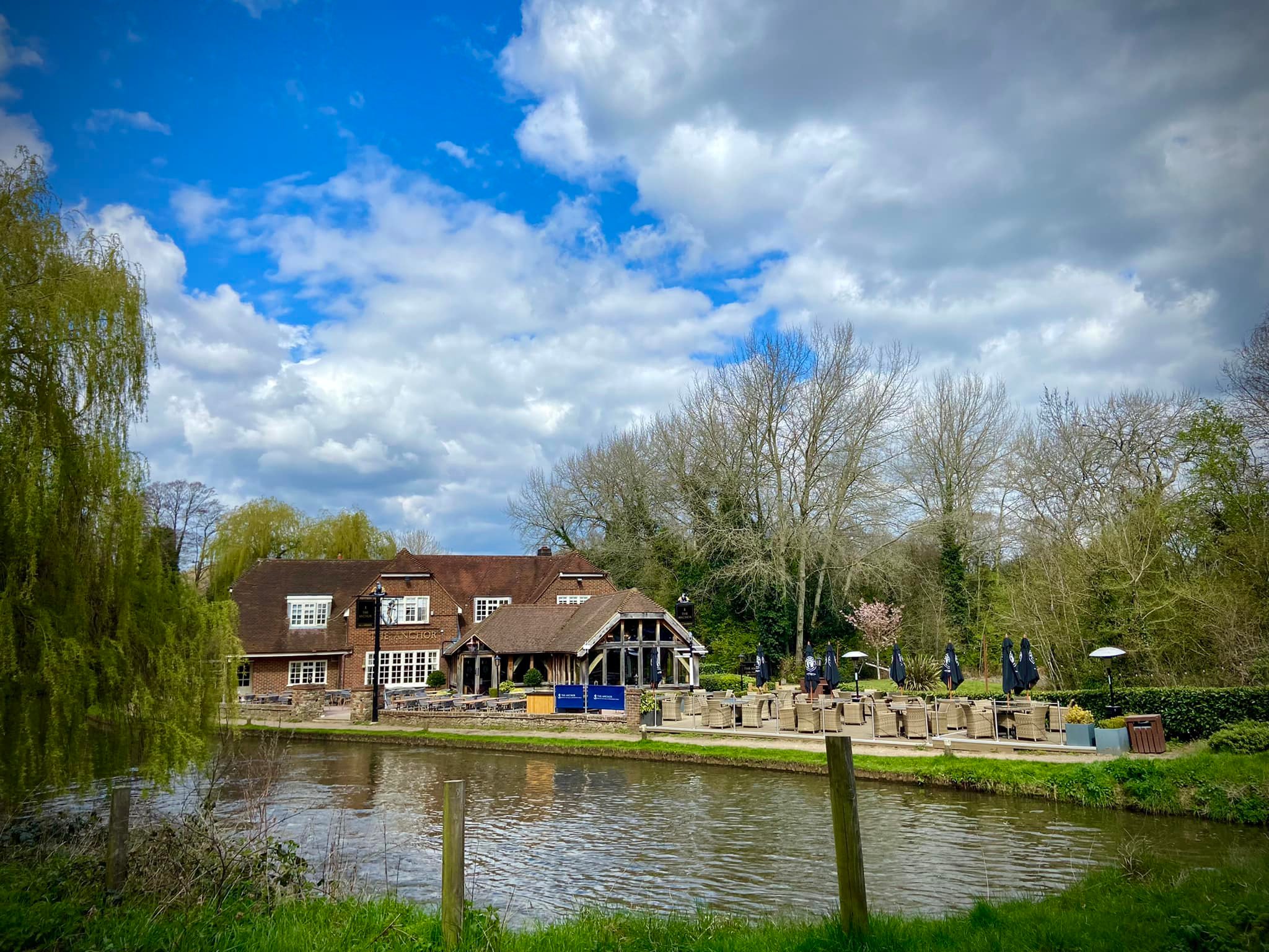
Alternatively, you could just go up the canal to The Anchor pub at Pyrford Lock and return the way you came and not bother with the golf course loop. I don’t usually like out-and-backs but when the mid-way point is a pub, that’s another matter. This is a good pub for lunch and allows dogs, so book a table for about 45 mins/an hour after you plan to set off from the car park and have a good walk there and a very lazy stroll back again. (The Anchor was refurbished in February and March 2022, opening early April).
Length: approximately 3.5 miles/5.6 km for the loop. If you do it as an out-and-back rather than a loop, it’s about 1.9 miles/3 km each way between the car park and pub.
Terrain: Most of this walk is along the canal towpath but there is a bit on tarmac before the golf course and some on gravel and grass. Sections can be muddy by the river, especially the floodplain near the priory but the tow path, for the most part, doesn’t get too bad. This is a flat walk apart from crossing bridges.
Stiles/kissing gates? No stiles, no kissing gates
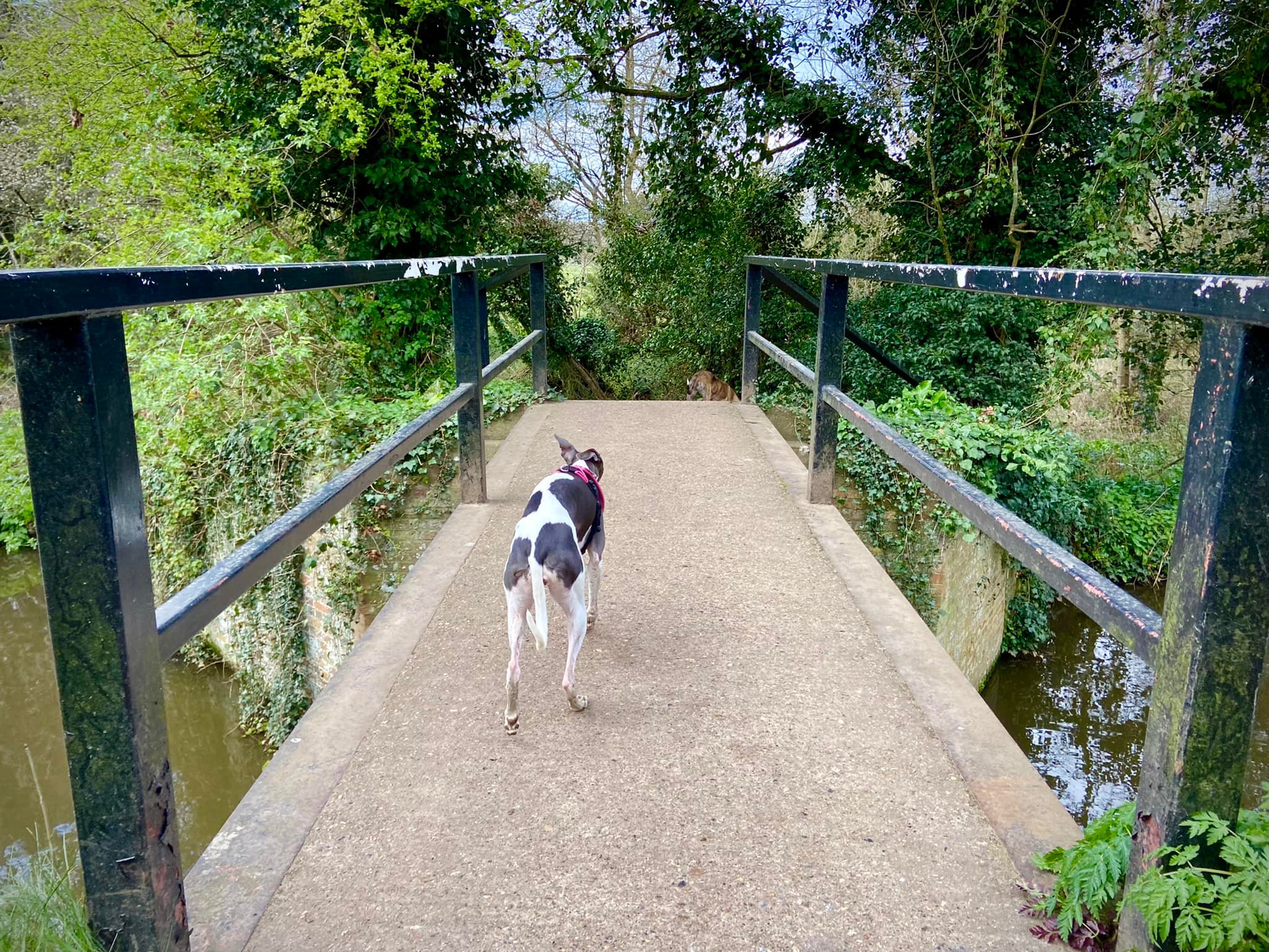
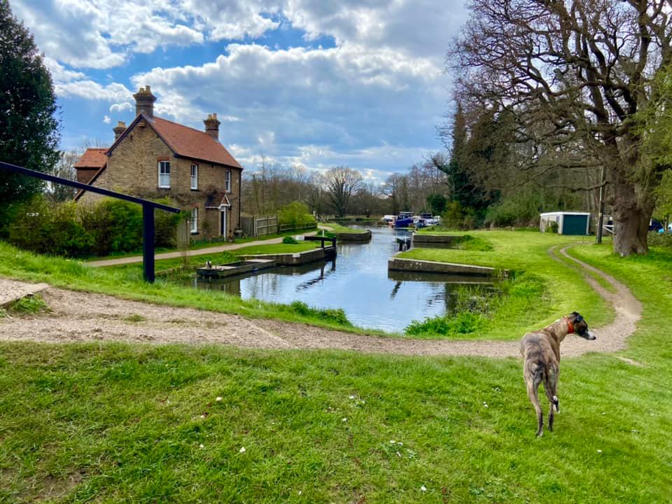
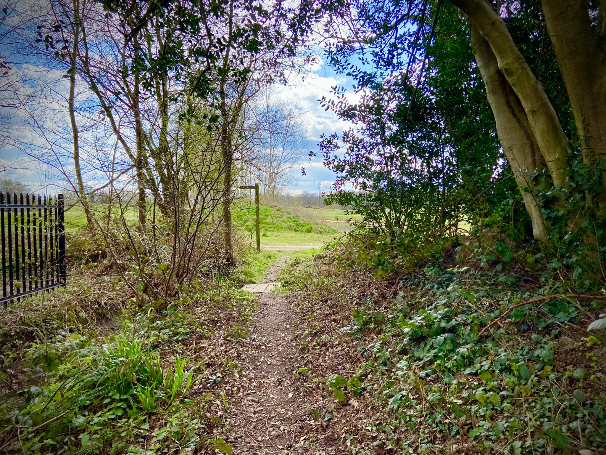
Take the little path from the back of Newark Lane car park past the traffic lights. This takes you onto the pavement by the road briefly. Ignore the path off to the left (that goes to Papercourt Lock – see this walk post for that and Woking Palace) and cross over the bridge, then take care crossing the road to the right. Pass the National Trust sign for the Wey Navigations and walk down the tow path.

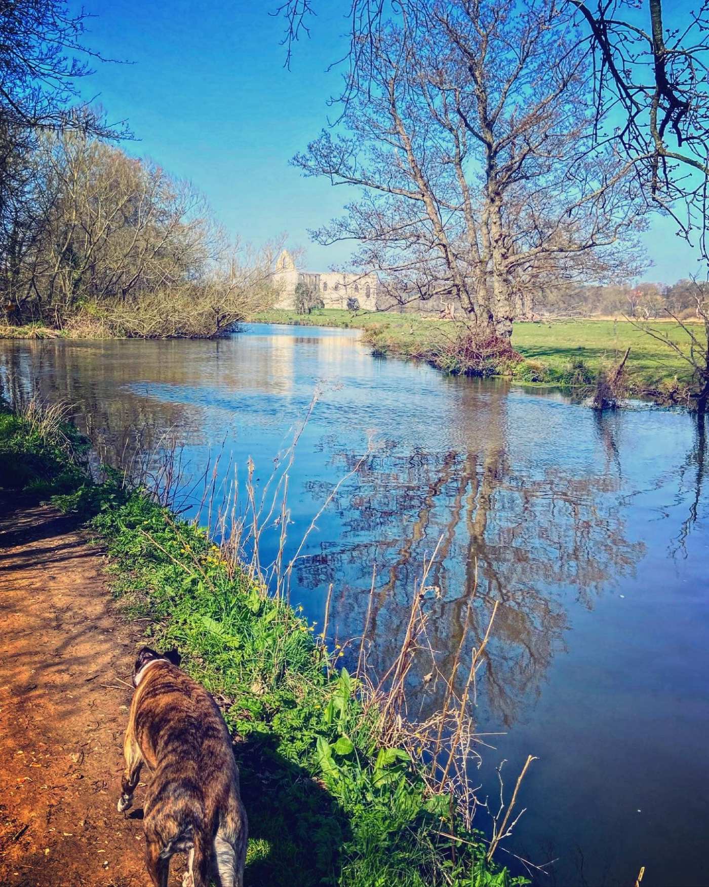
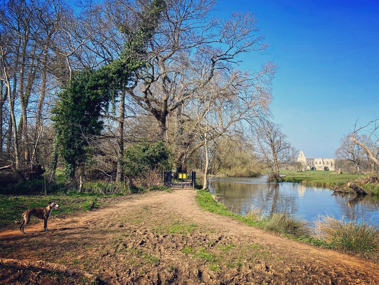
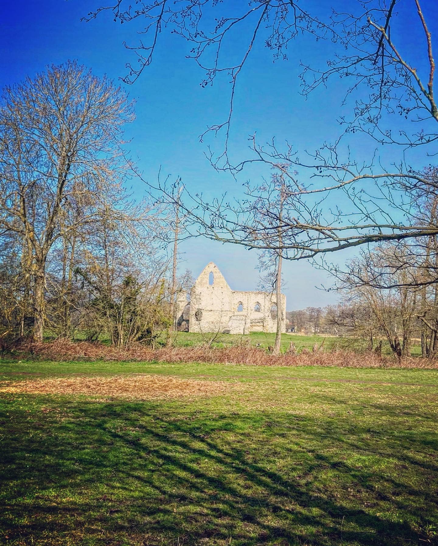
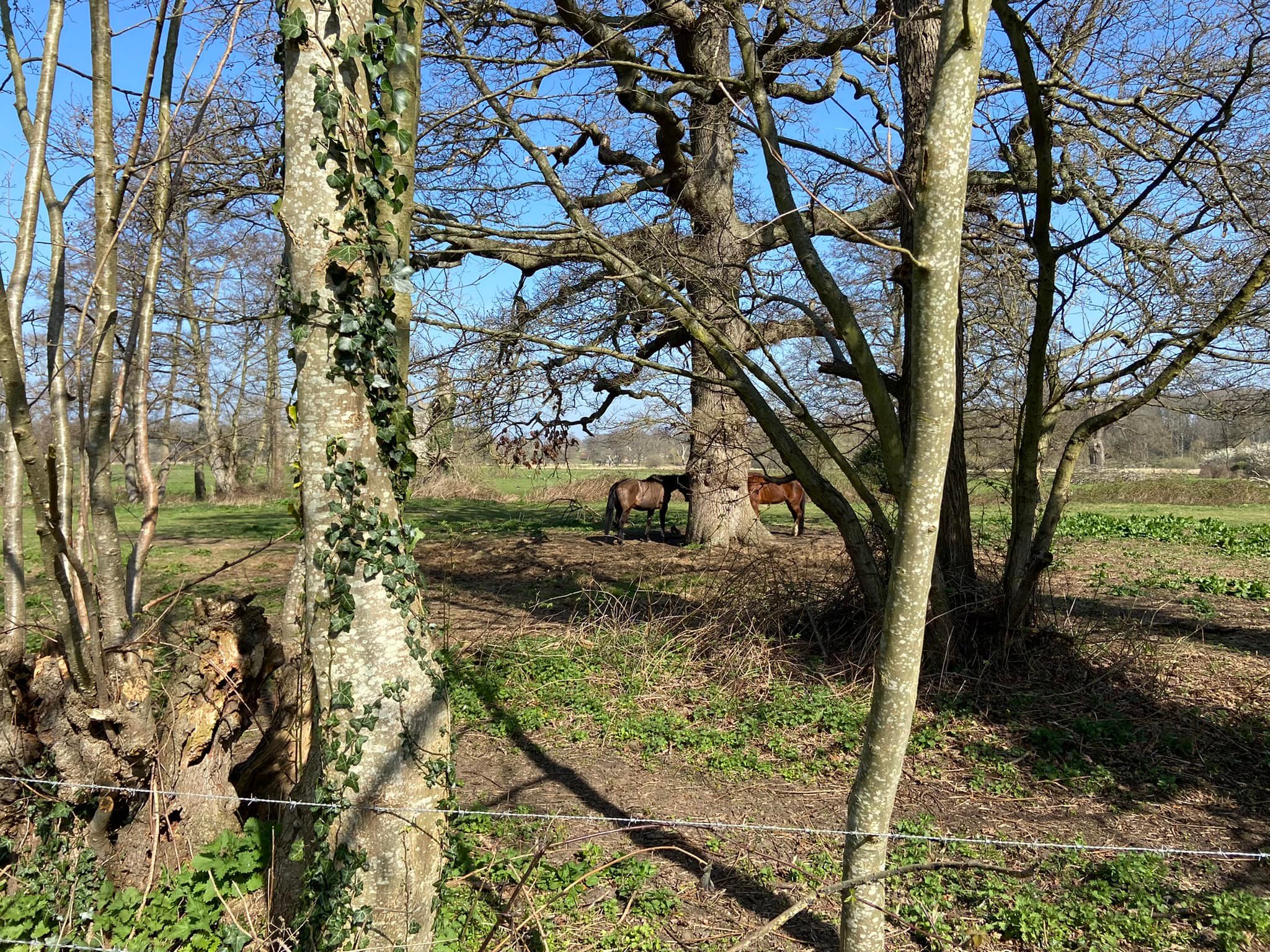
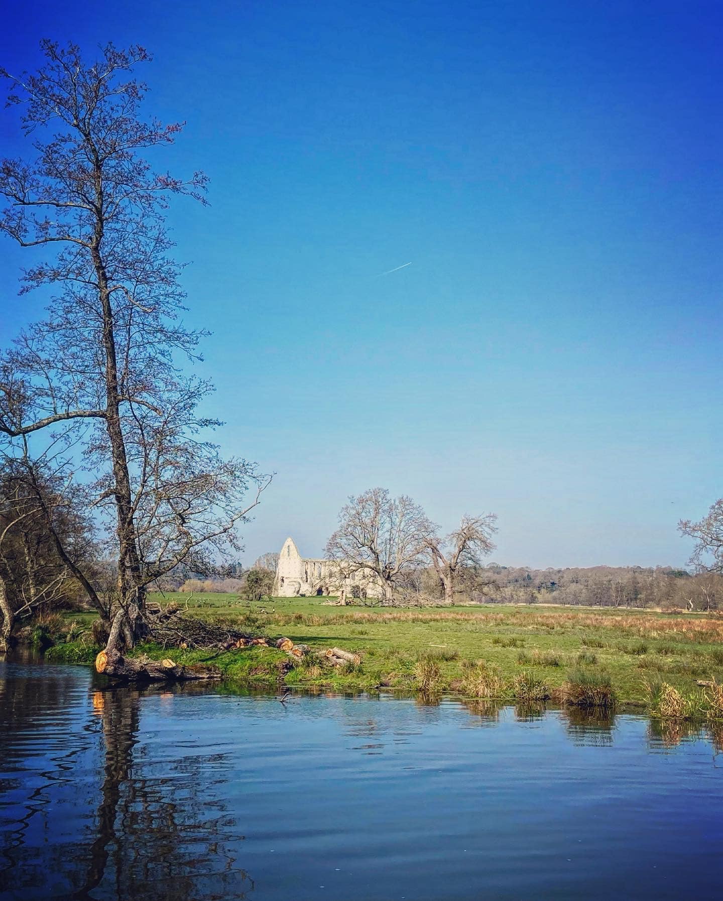
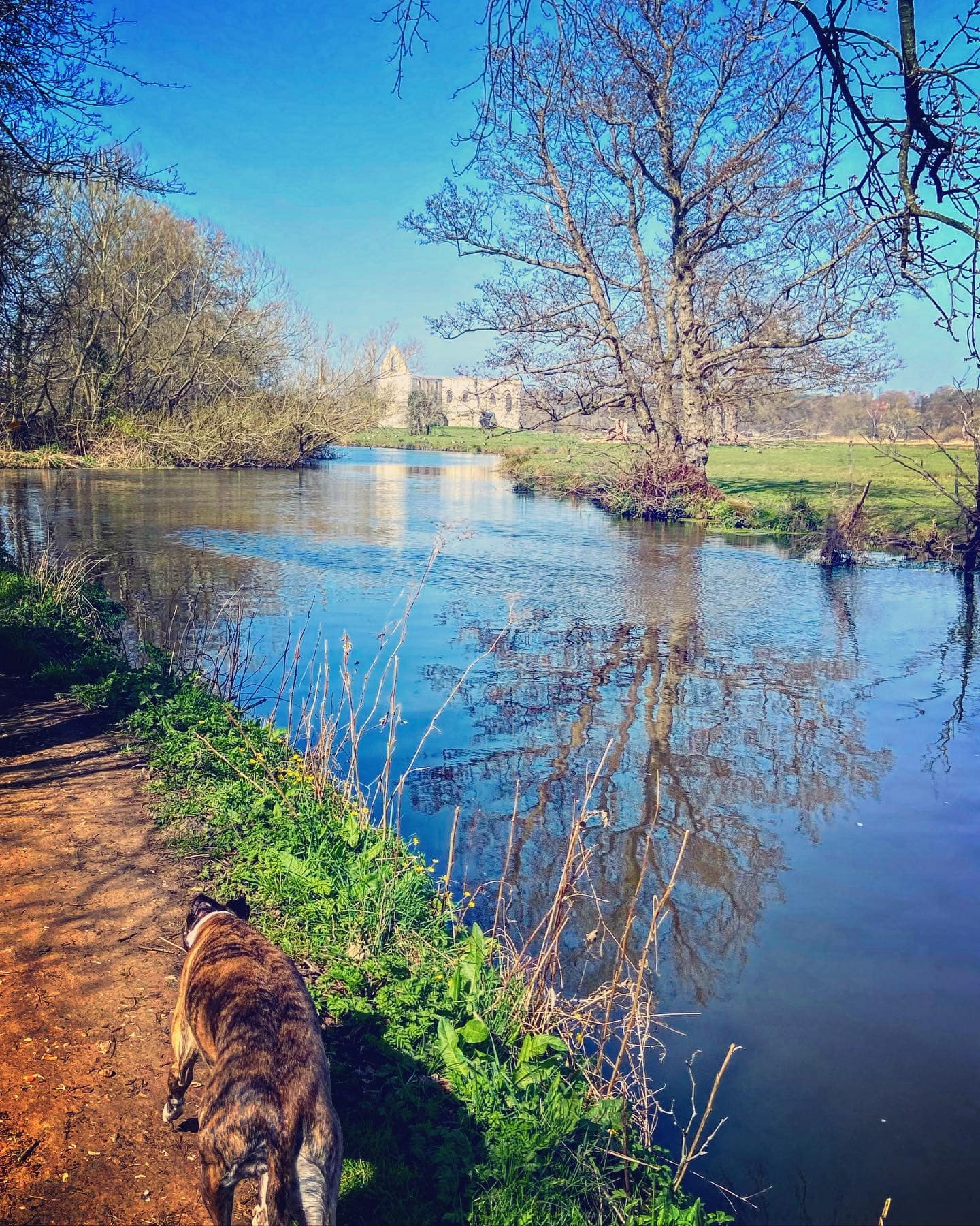
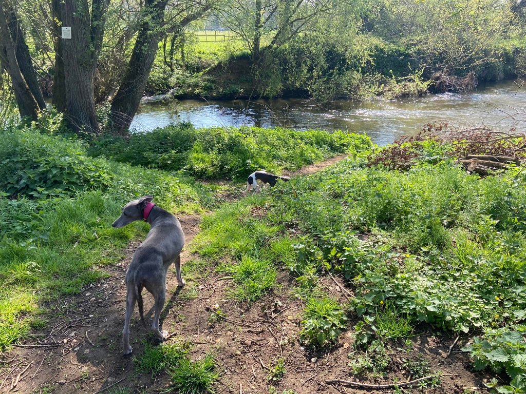
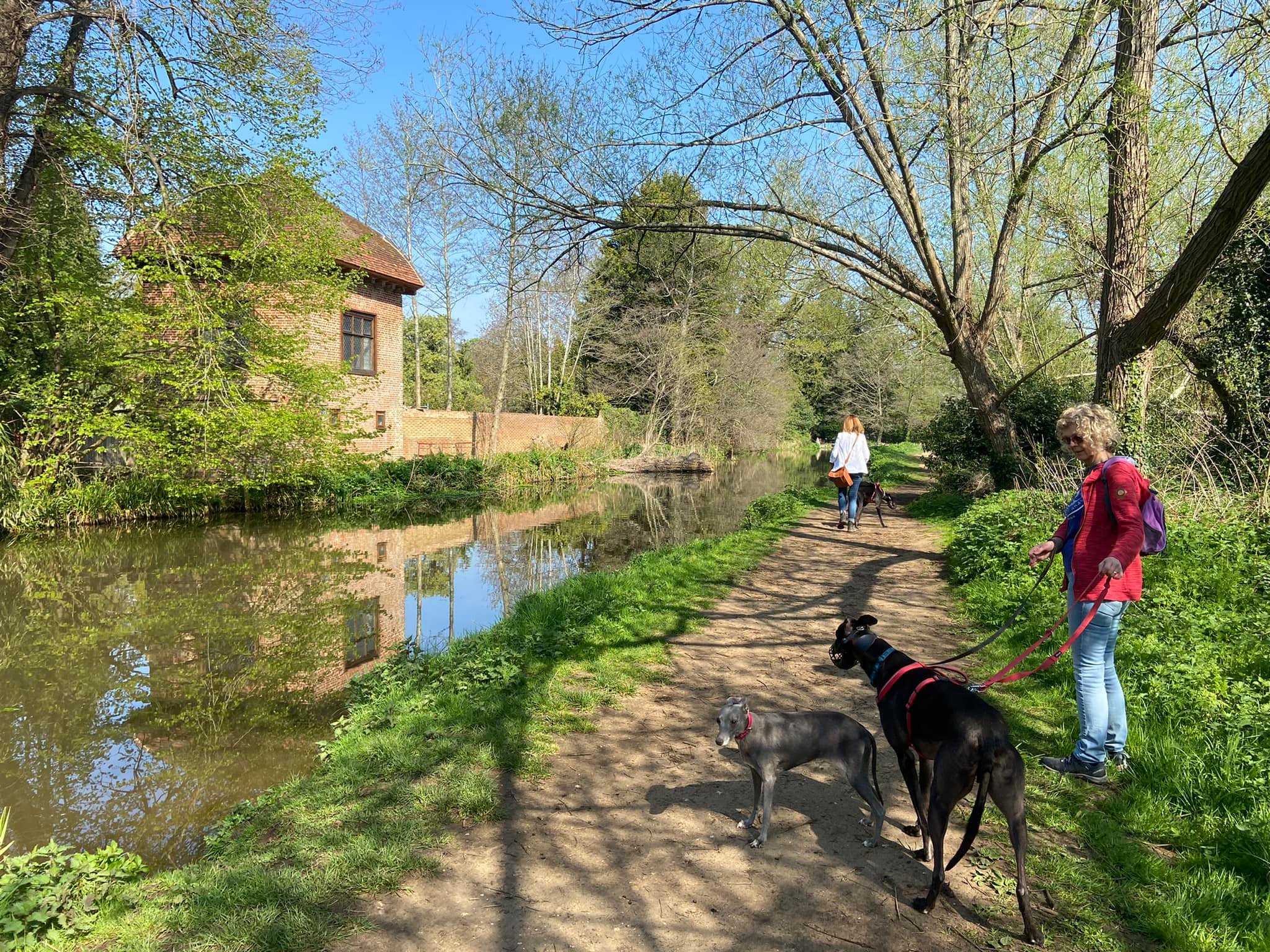
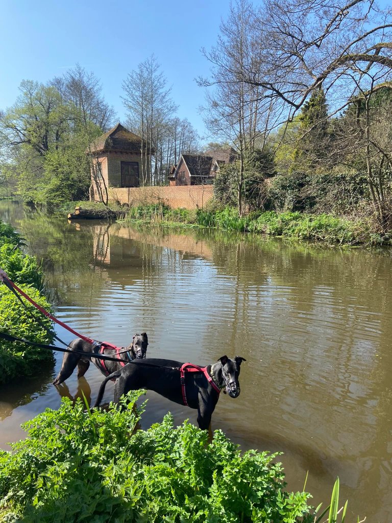
Shortly, you’ll get a first glimpse of the ruins of Newark Priory through the trees to your left.

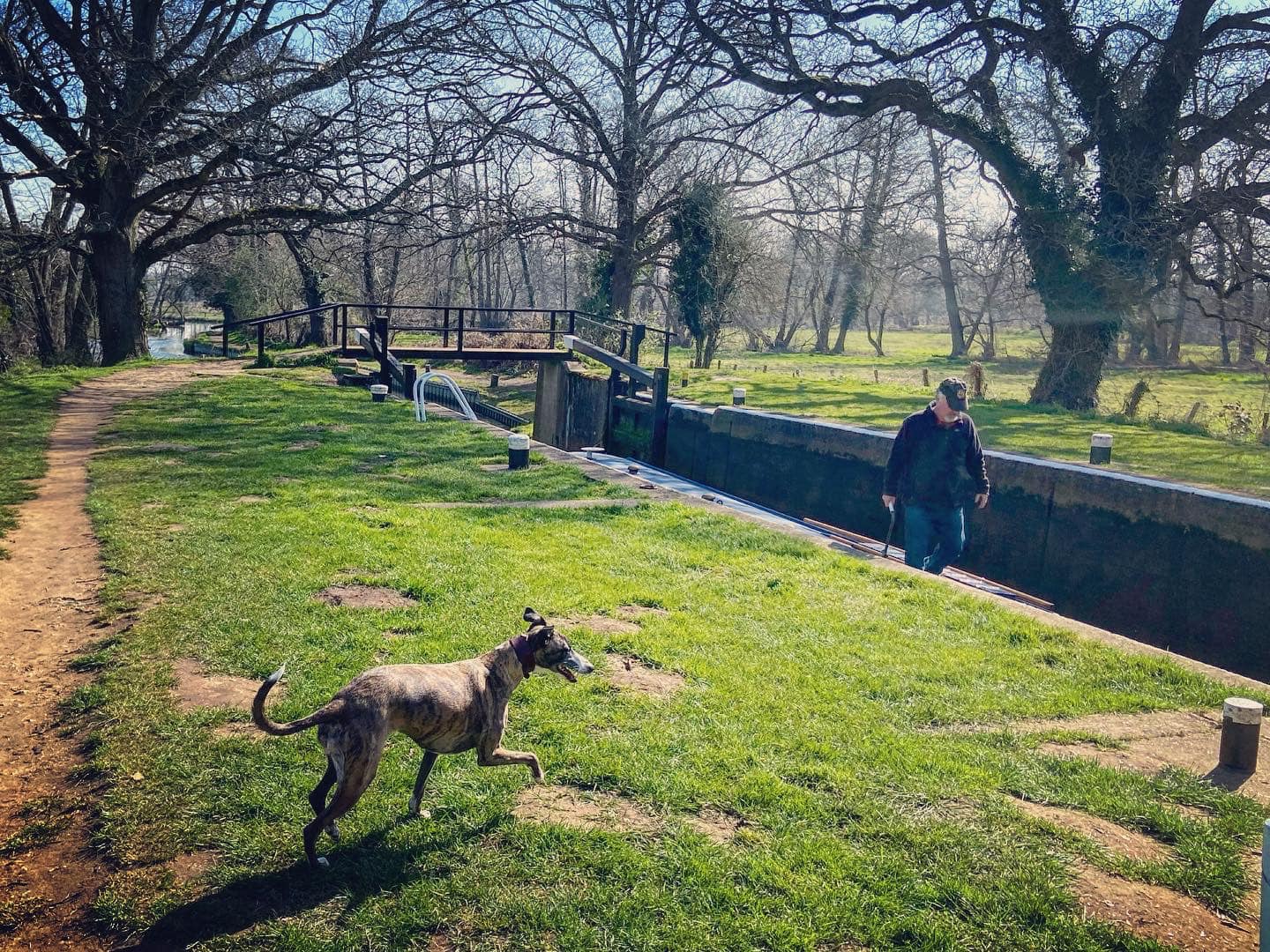
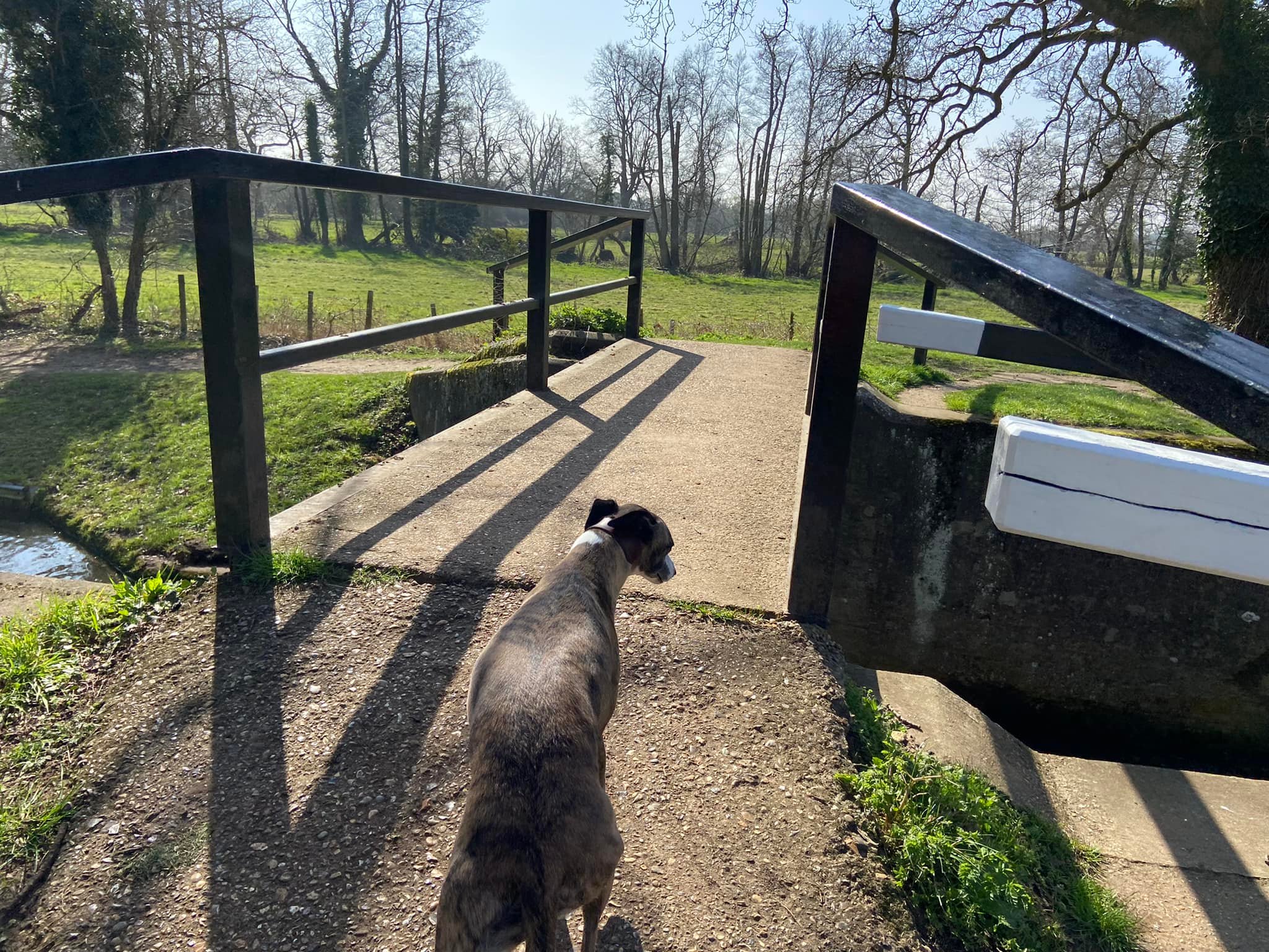
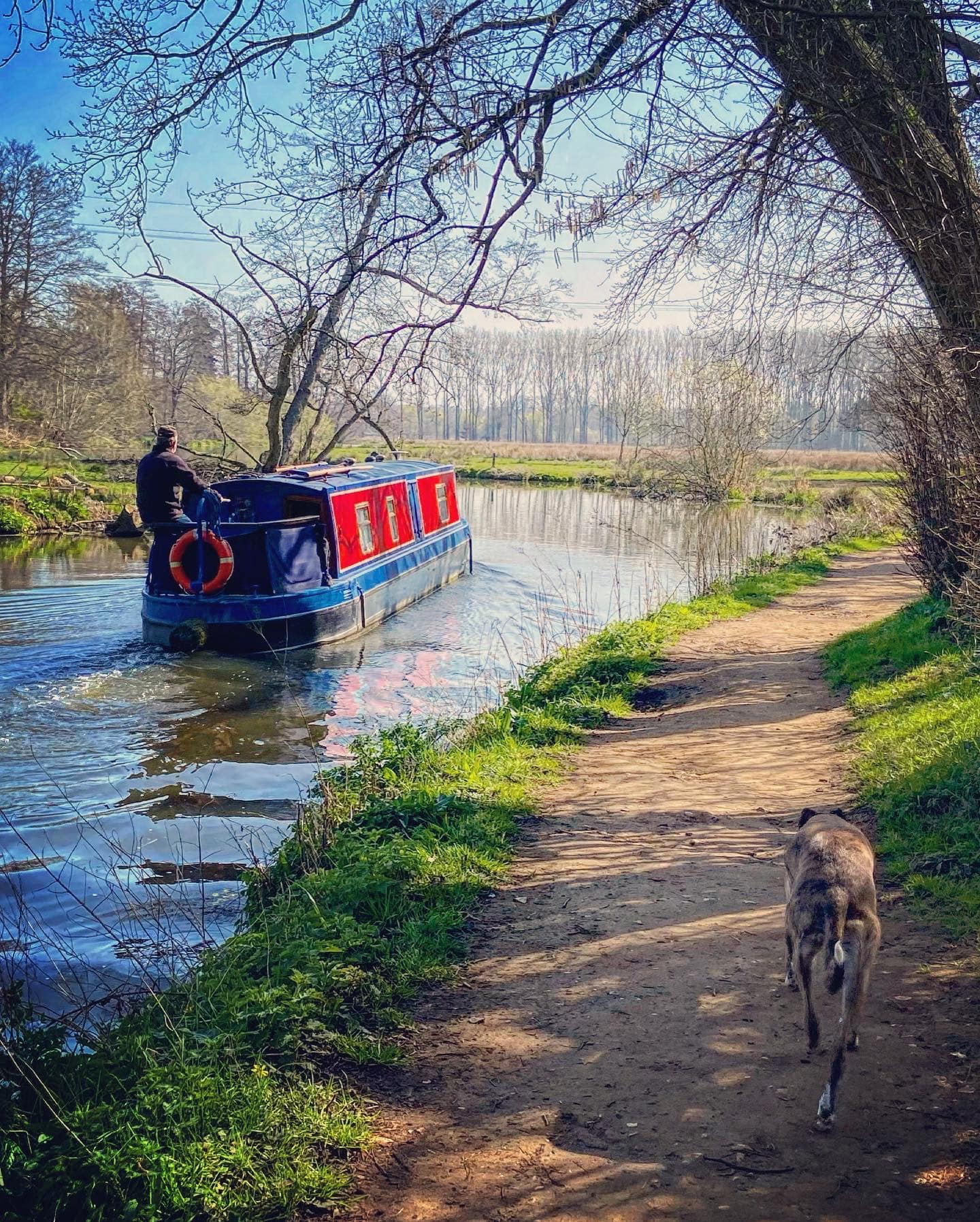
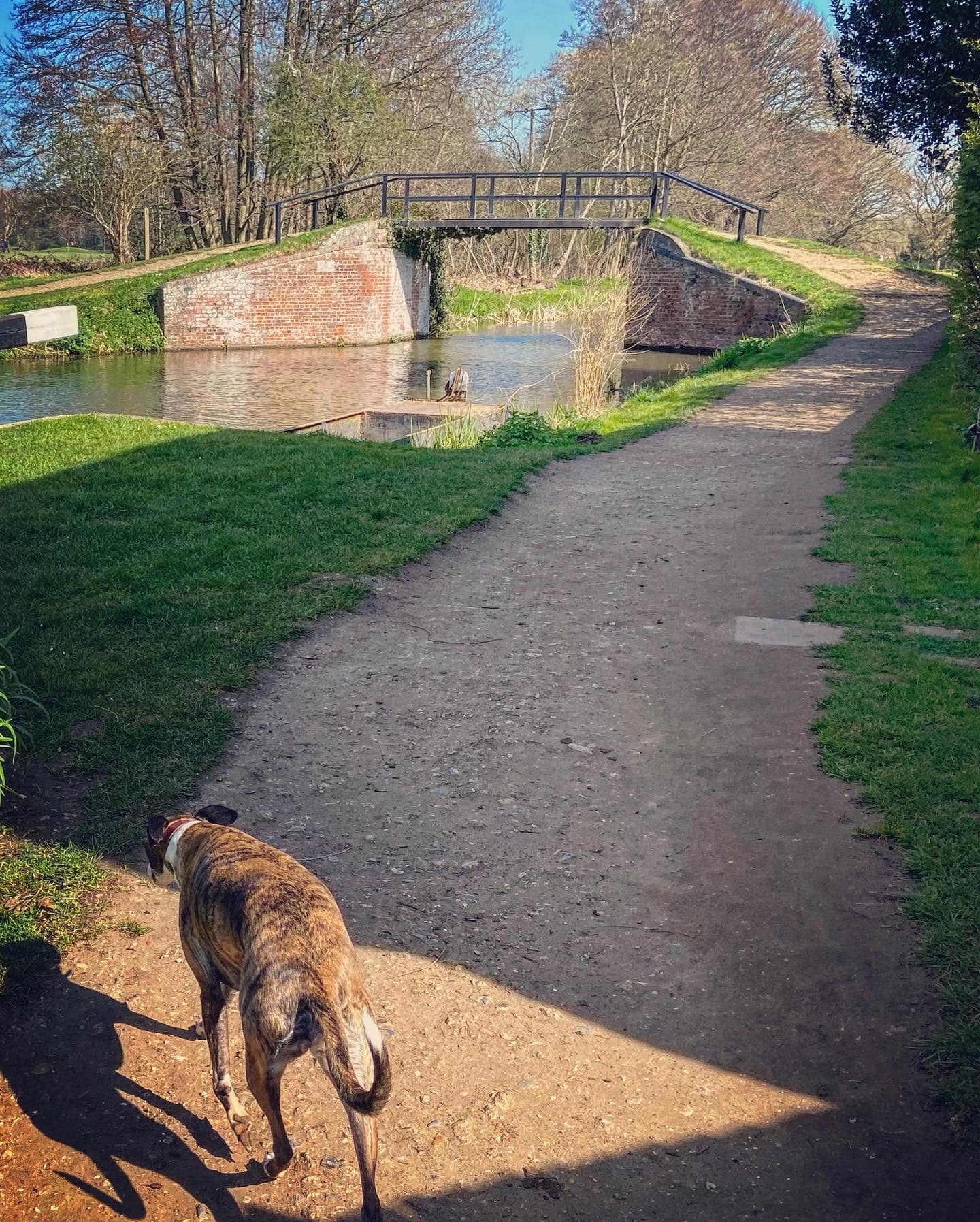
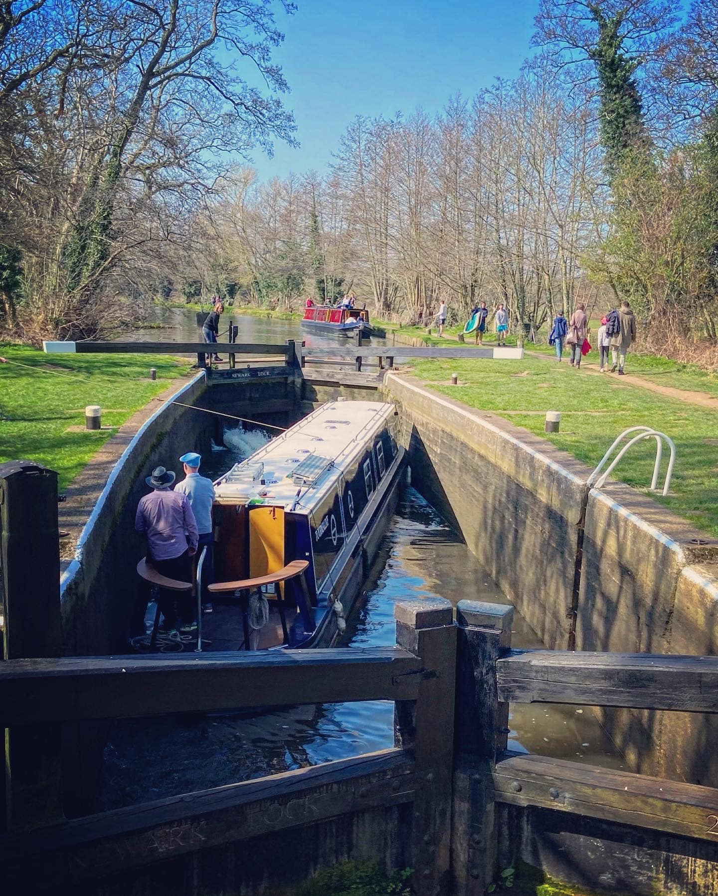
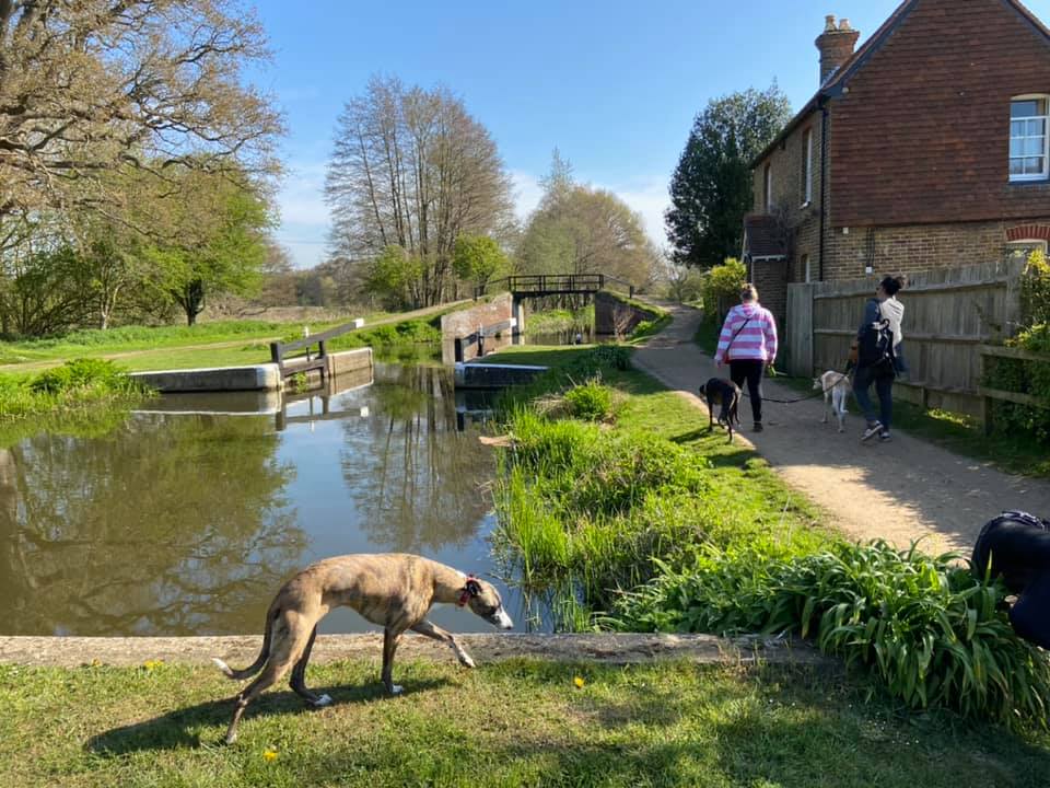
At Newark Lock, the path crosses the canal. If you’re lucky, you might see a long boat using it. Continue ahead on the tow path and pass through the black gate. If you look behind you now, you have another lovely view of the priory.

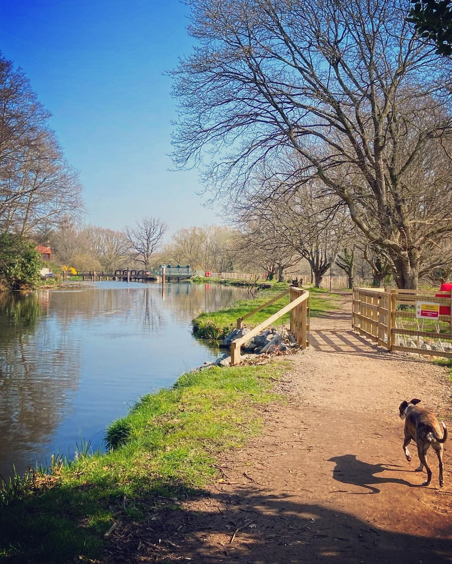
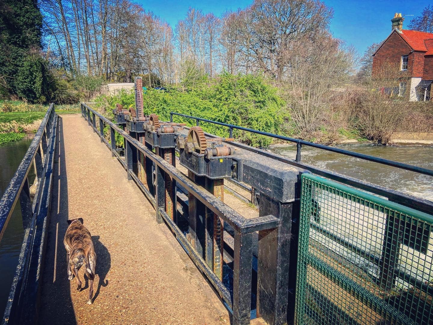
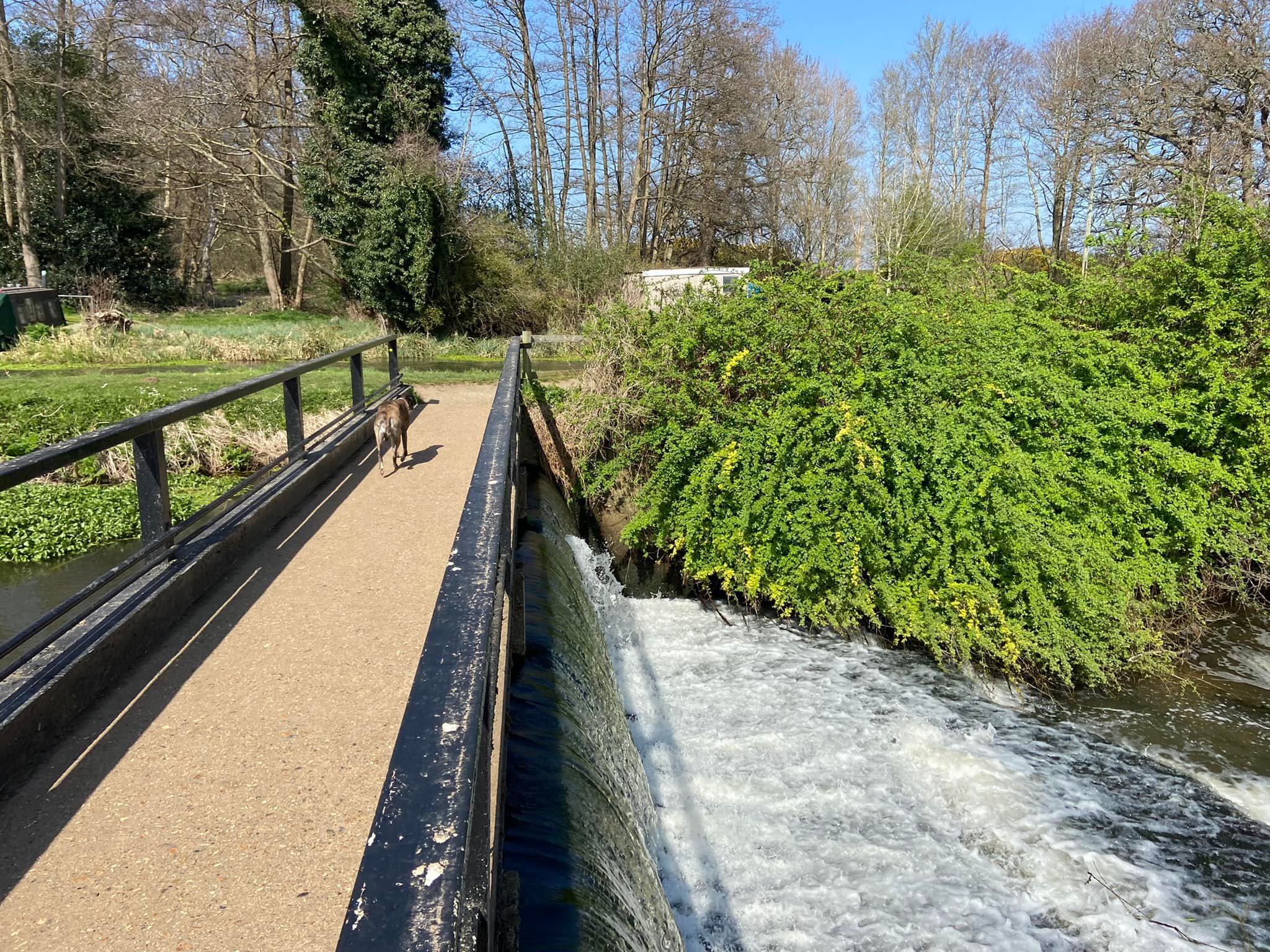
Continue along the tow path and through the next gate and on to Ripley Weir, crossing an overflow channel off to the right on the way. When you reach the weir, turn left and use it to cross the water.
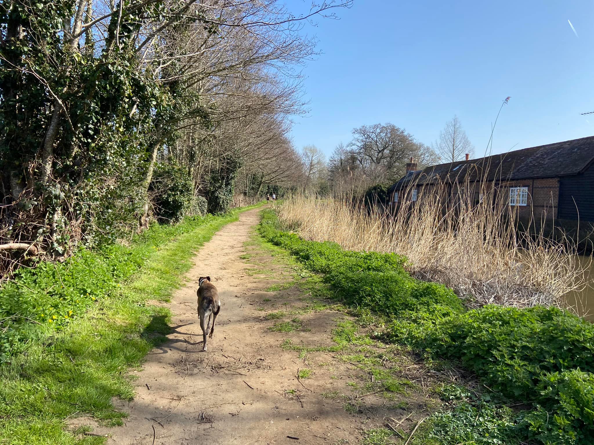
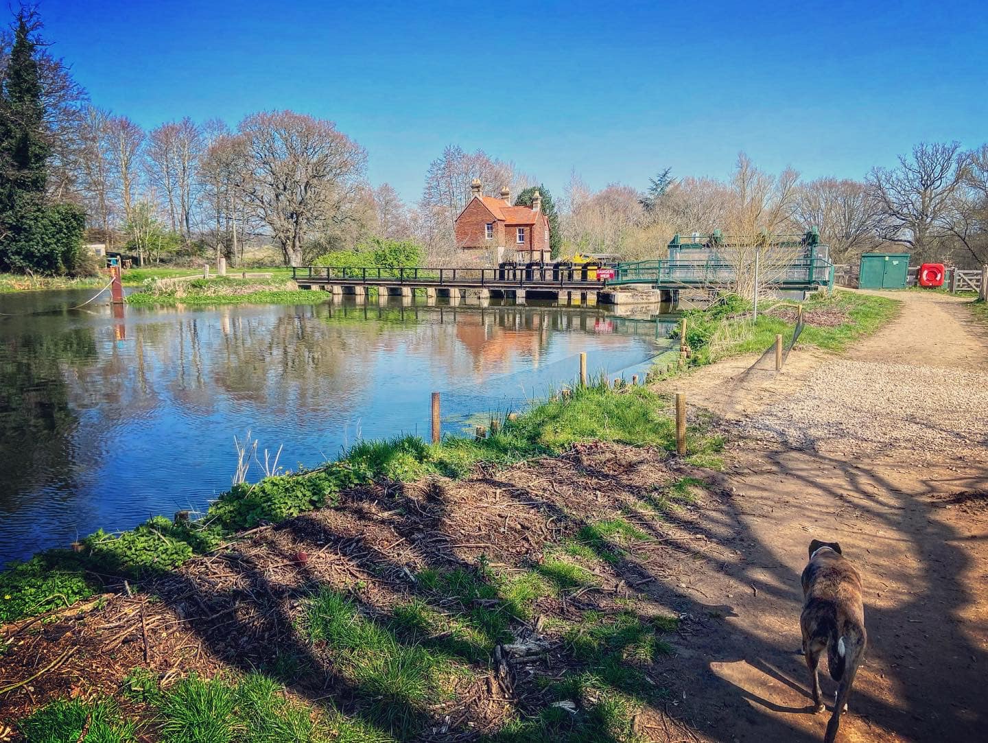
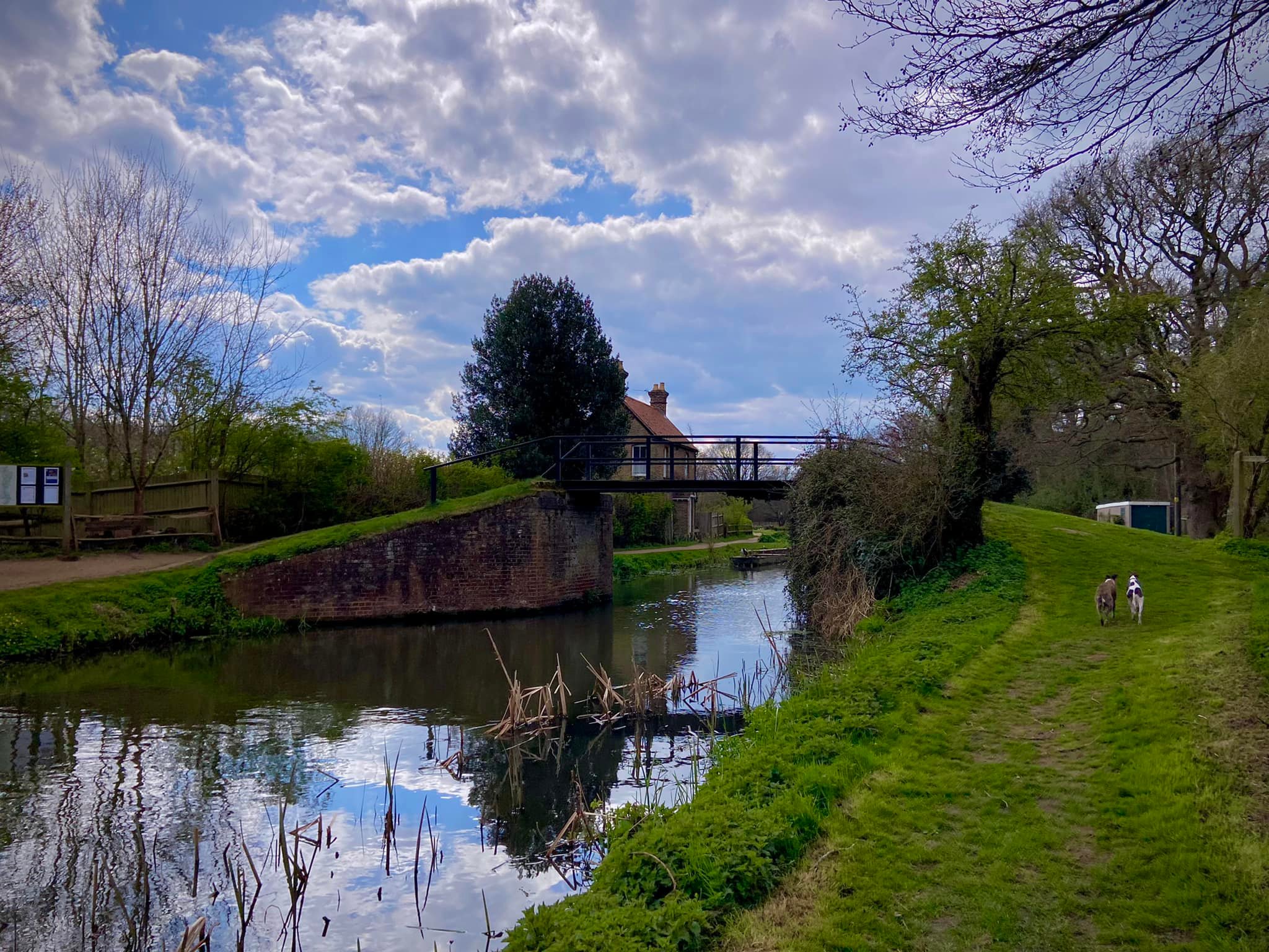
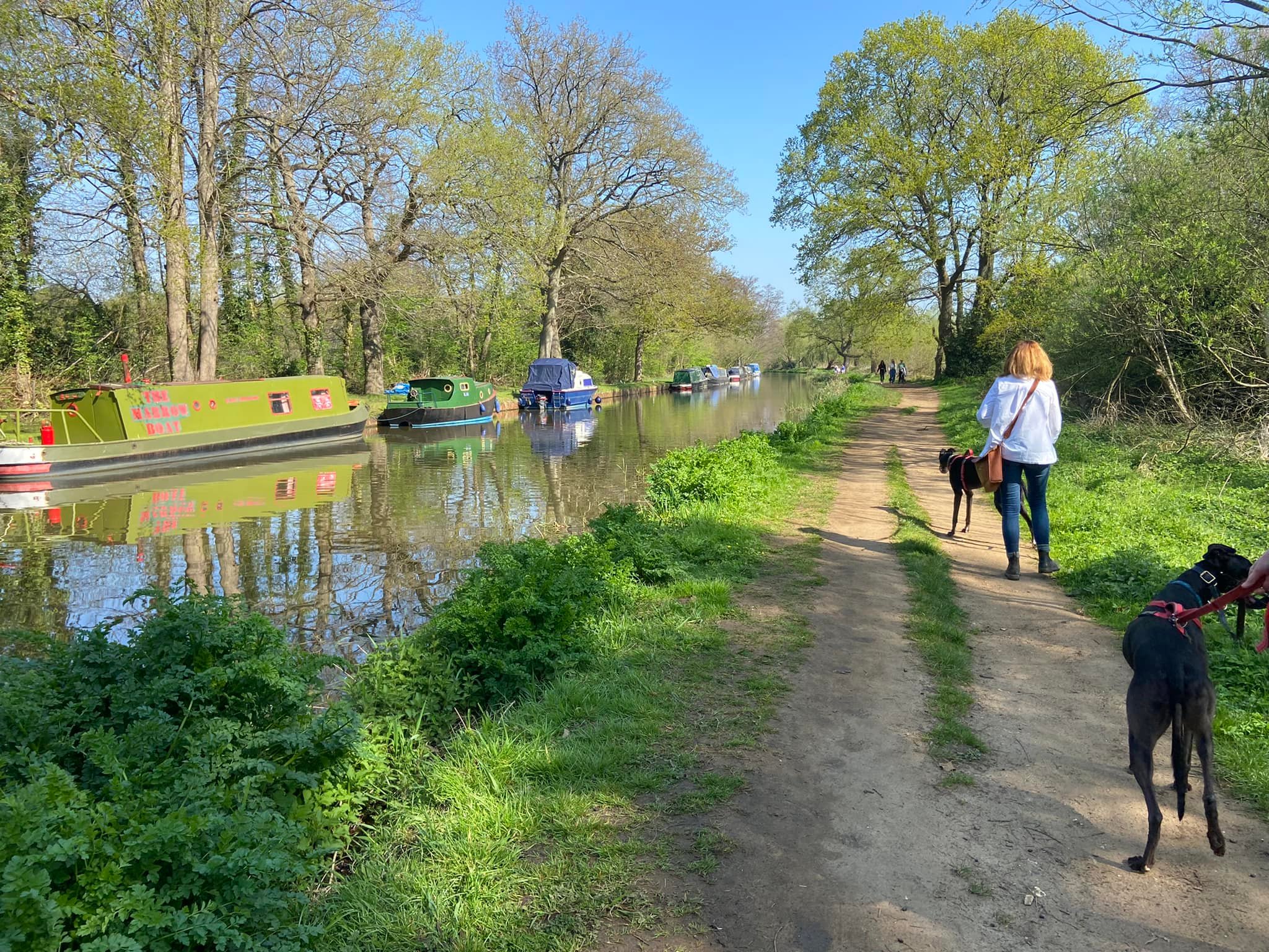
Pass the lock keeper’s cottage and Walsham Gates, a lock which is left open at both ends apart from in times of flood, and continue straight ahead on the tow path.
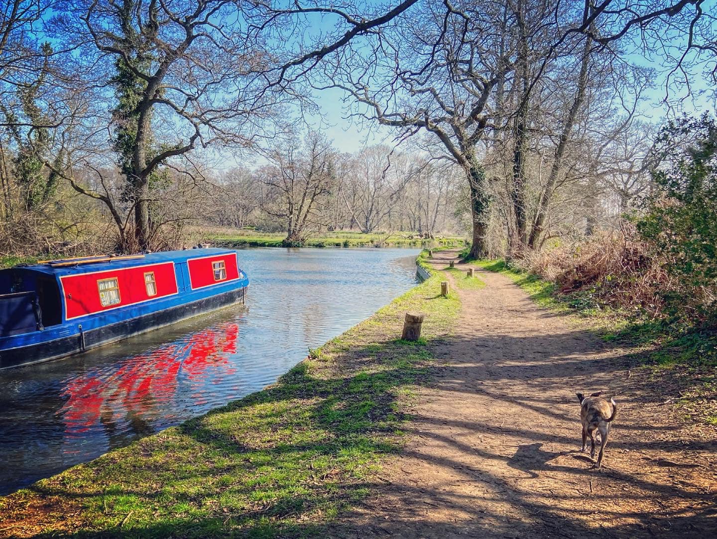
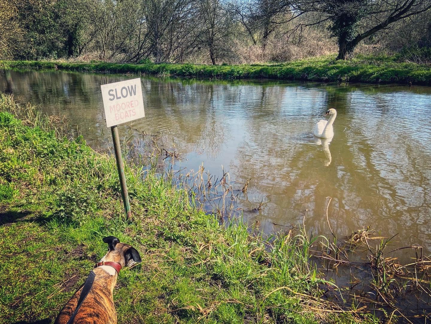
To your right is the River Wey, which you can see has strong currents. Small paths wind down to it so you can get nearer if you want to, but if you’re going to do this, put your dog on lead as you don’t want them falling into this fast-flowing water body.
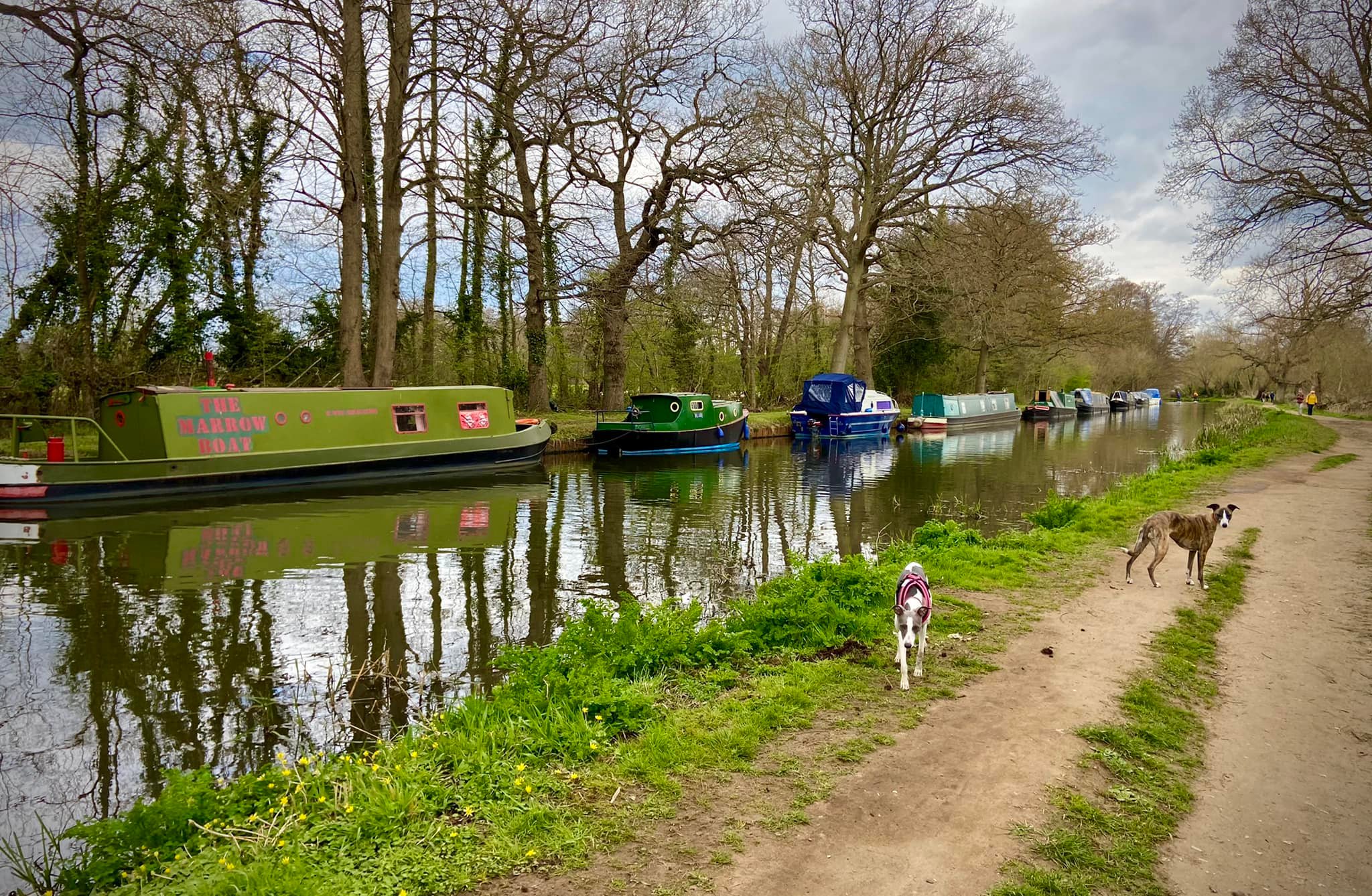
As you stroll along, keep an eye out for The Marrowboat, which is owned by Beryl the Whippet, whose human slave is a member of the SSWG Facebook group.


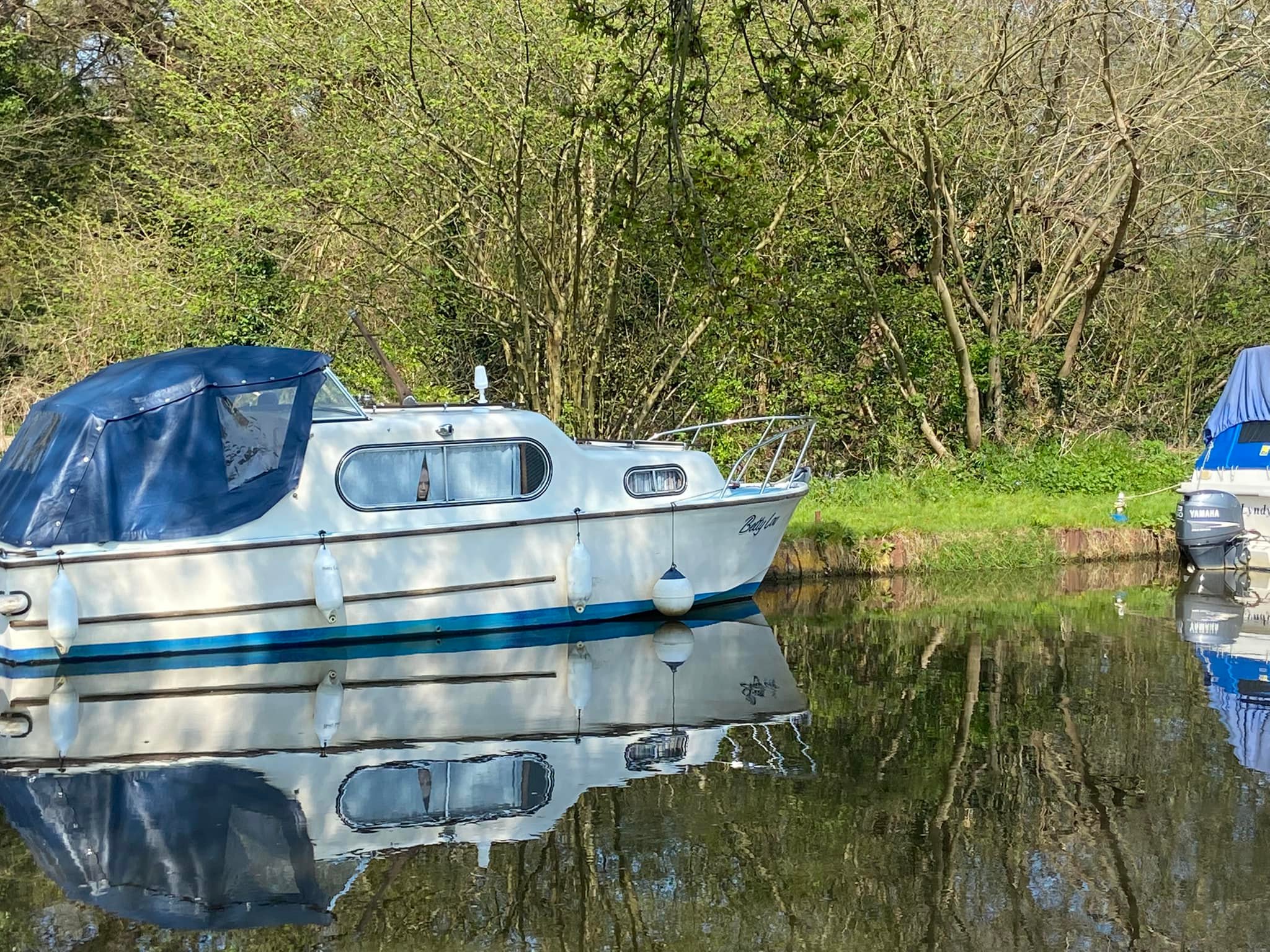
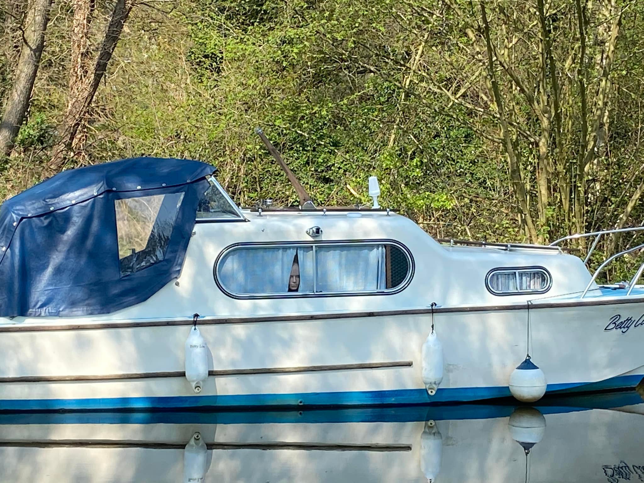
And just after that, there’s this…
Some way after The Marrowboat, you’ll come to a small brick tower, known as John Donne’s Summer House. The Summer House is in the grounds of a residential property called Pyrford Place, and the setting for quite a story. I do love stories.
John Donne was the Dean of St Paul’s Cathedral from 1621 until his death in 1631. However, long before then – way back when he was merely a secretary to Sir Thomas Egerton – he fell in love with Anne More, Egerton’s niece and the daughter of St George More of Loseley Park. The Mores were way above Donne in the social hierarchy of the time and there was no way that Anne and John could be together without seriously arched eyebrows all round. In 1601, when Anne was 17 (Donne, as seems to always be the way of these things, was a fair bit older than her), the pair ran away together, causing a massive scandal and prompting a thorough manhunt. Unfortunately, they were discovered and love did not conquer all at all as Donne was thrown in prison, along with the priest who conducted the marriage. When things calmed down a bit, he was released and husband and wife moved into Pyrford Place, which was owned by Anne’s cousin, Sir Francis Wolley. They lived there for a few years before moving into their own home in 1606, in Mitcham (of all places).
Anne spent pretty much her entire adult life pregnant, giving birth to 12 children, the first while living at Pyrford Place. She died on 15 August 1617, just five days after welcoming their twelfth child into the world. That’s all that there is about her online, sadly, but it is claimed that John never got over her death and he vowed to never marry again (how terribly big of him). In his grief, he turned to God and became a highly respected preacher, a favourite of Kings James I and Charles I. Upon his death, he was buried in St Paul’s Cathedral in London, where there is a memorial statue of him, one of only a few in the cathedral to survive the Great Fire of London in 1666.
So, while there is a blue plaque on the Summer House that claims the ‘Poet and Dean of St Paul’s lived here between 1600-1604’, historians agree that he probably didn’t actually ever live in that building – in fact, some of them think it may not even have been built while the Donnes lived at Pyrford Place at all but later in the century.
Anyway, back to our walk. Ignore a path to the right, which has a yellow sign informing you that the Pigeon House footbridge is closed. Keep ahead to the bridge next to the metal kissing gate.
If you are just doing an out-and-back walk to The Anchor, continue straight ahead on the tow path and ignore the rest of this page – or follow this on your return journey if you want a detour from the canal.
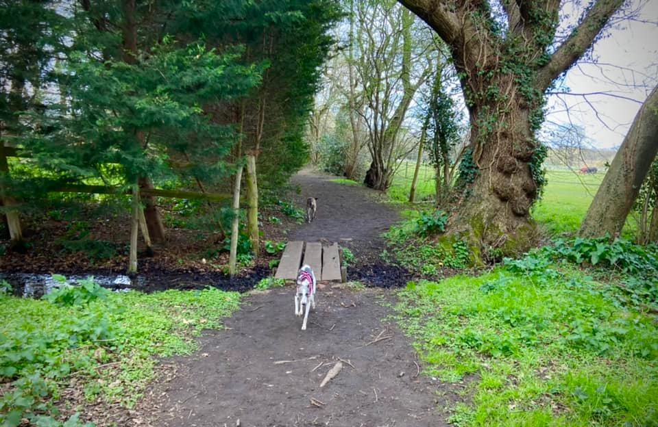
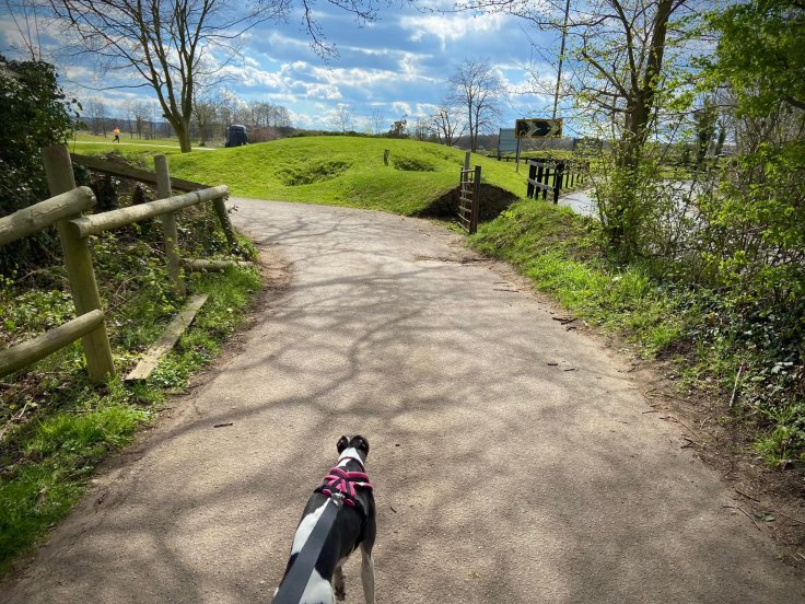
If you want to do the loop through the golf course, cross the Wey Navigation at this bridge, then go over the plank bridge ahead and follow the path alongside the tall fir trees on the left and the horse paddocks on your right, then round to the right.
Continue past the two metal vehicle gates as a gravel driveway runs parallel. When the fences either side end, stay on the mud path and continue ahead towards a finger post pointing back the way you came.
Walk straight down the tarmac driveway until you’re nearly at the road, but turn left at the crossing point, which is just after a concrete bridge and a stile. Follow this path along the edge of a ditch and round to the left, where it runs parallel to the road on your right for a short way. At the pond by the golf club entrance, turn left and continue along the tarmac. When this ends, carry on on the grass along the line of parked cars and several bins.
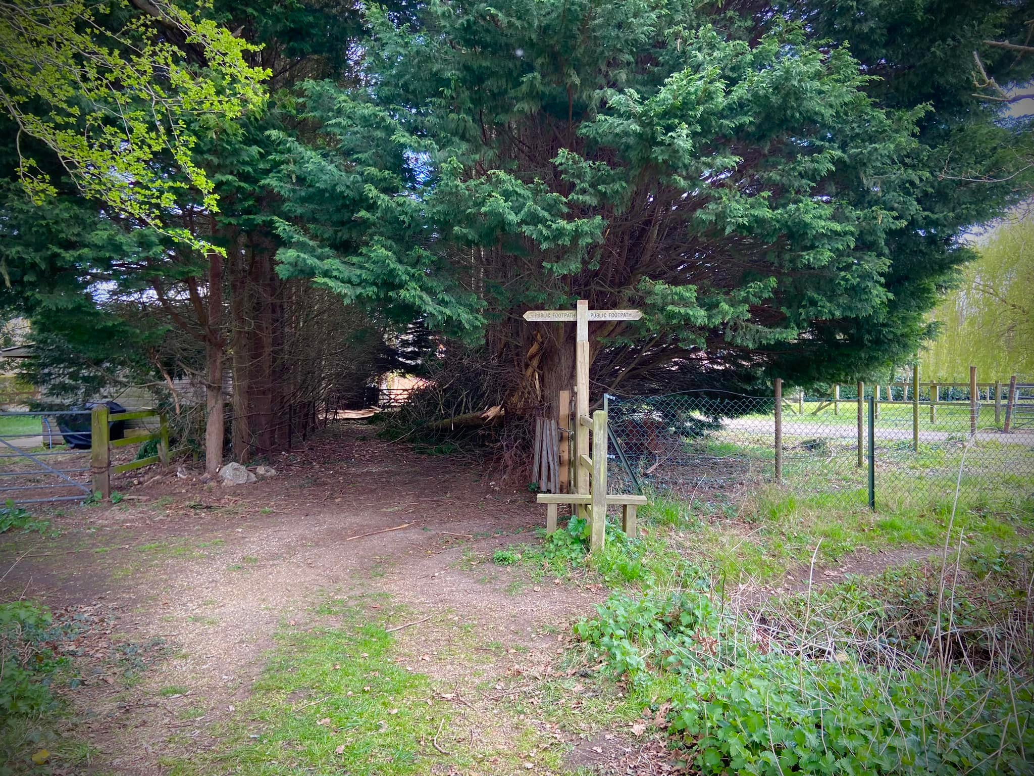
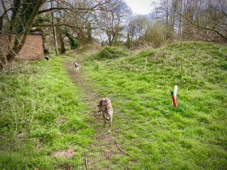
At the end of the car park, turn right immediately before the stile and walk down this narrow chain-link lined path. Go over the plank bridge and keep going. There may be a fallen tree to duck under (or it may have been cleared). The golf course is to your right, separated from the path by brambles.
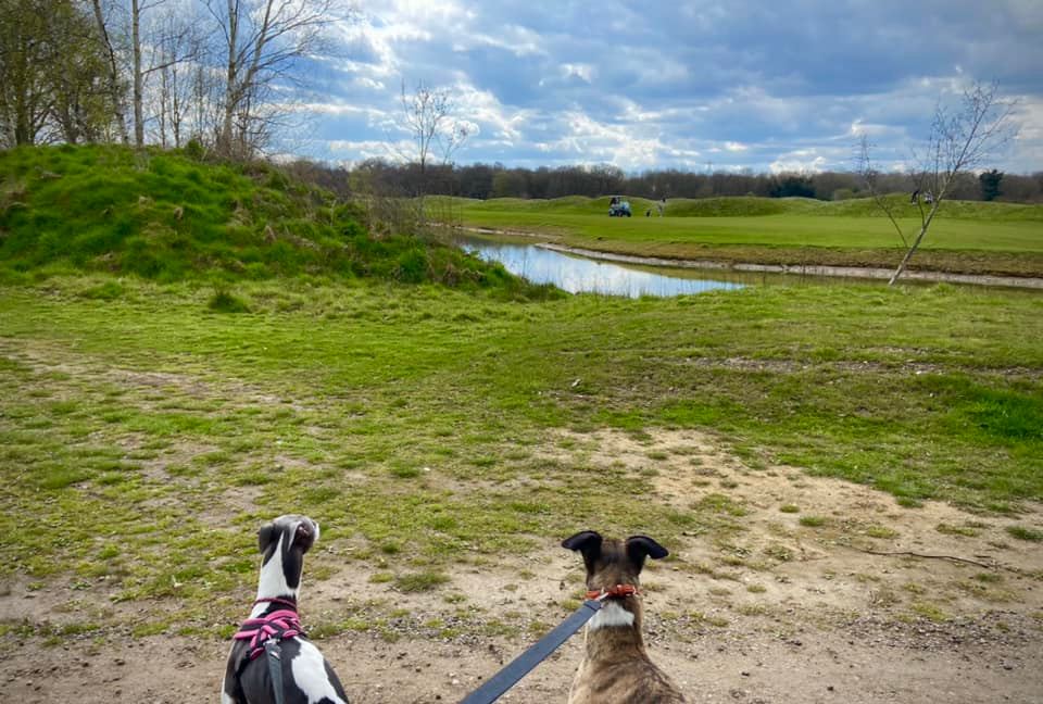
At the end of the path, cross the plank bridge to the finger post and turn left. Pass the steps up to the 17th tee and then go left at the fork, passing a green poo bin and edging the golf course as the gravel path rounds the corner to the right.
When gravel path ends, continue straight onto the grass ahead and walking alongside the nettles and brambles on your left, with the golf green on the right. Through the trees, you can see boats on the canal. Take the little path off to the left at the corner, passing a small electricity building, to arrive at the canal.
Turn right at the water (you can’t go left – there is gate marked ‘private’) and walk to the bridge across Walsham Gates, using this to cross over the canal.
On the other side, turn right to pass the lock keeper’s cottage and head to Ripley weir. Cross back over the weir and follow the tow path back the way you came, enjoying the views of Newark Priory once again just before you reach Newark Lock.
