Page contents
About
Gallery
Parking
Poo bins?
Self-guided walk
About
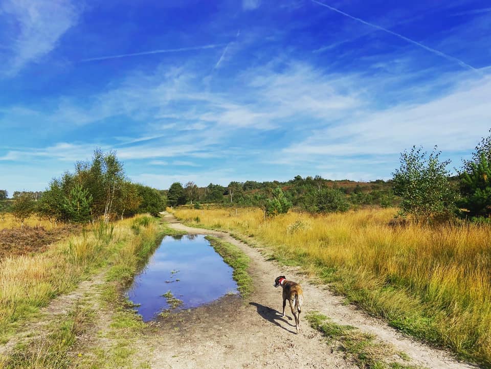
Chobham Common is the largest National Nature Reserve in the south east of England at around 600 hectares – and a prime example of lowland heath, one of the most ancient and characteristic British landscapes, originally created by prehistoric farmers. For over 200 generations, rural communities have carefully managed this open countryside, creating a wildlife rich patchwork of mini-habitats.
Many rare species of birds and animals live on Chobham Common, including a little brown bird called the Dartford Warbler, which loves the gorse bushes that cover this landscape alongside the large swathes of heather. In mid-summer, several species of native orchids grow around the heathland verges. The common is also home to frogs, toads, newts, adders, grass snakes, common and sand lizards, slow worms and 25 species of mammals.
In August 1915, during WWI, the common hosted trenching exercises in advance of Kitchener’s Third Army’s mobilisation in France. It continued to be used by the military throughout the 1920s, 1930s, and WWII. Captured enemy tanks were tested here, as well as equipment to detonate land mines using flails. Immediately after WWII, the southern part was ploughed and seeded with an annual grass to allow the natural vegetation to re-establish, while the area north of Staple Hill, which was not as heavily damaged, was allowed to recover naturally.
The southern expanse of the common contains three Scheduled Monuments: a Bronze Age barrow in the woods at Longbarrow on the eastern-most edge of the common; and two earthworks of unknown date and origin called “The Bee Gardens”, one at Albury Bottom near the Jubilee car park and the other to the east of the sharp bend on Gracious Pond Road.
In 1966, Chobham Common was purchased by Surrey County Council from Lord Onslow for £1 an acre. Approximately 1,400 acres of it are now managed by Surrey Wildlife Trust.
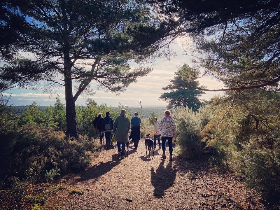
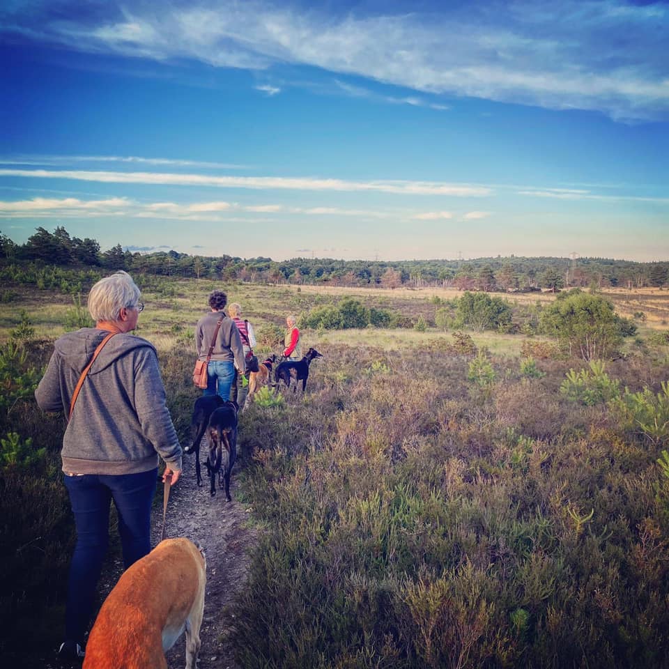
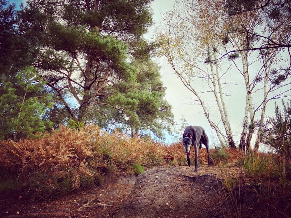
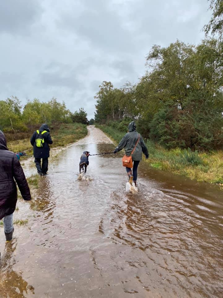
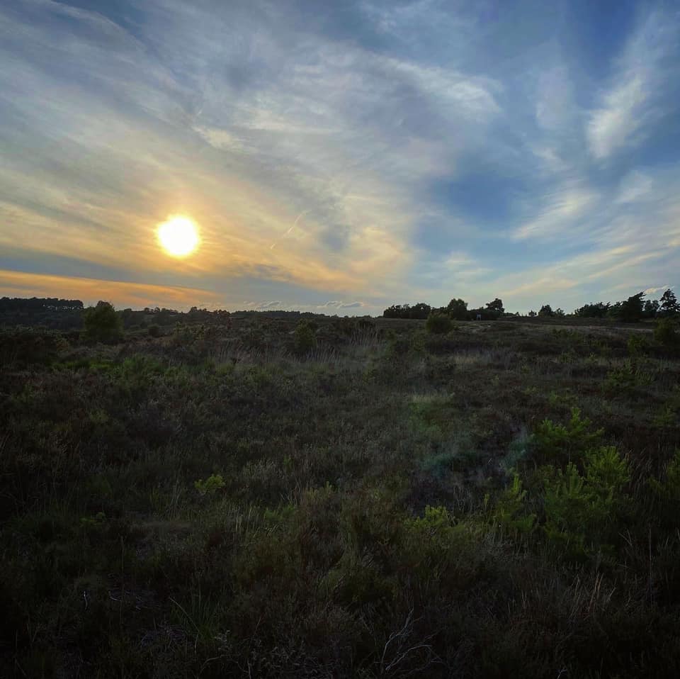
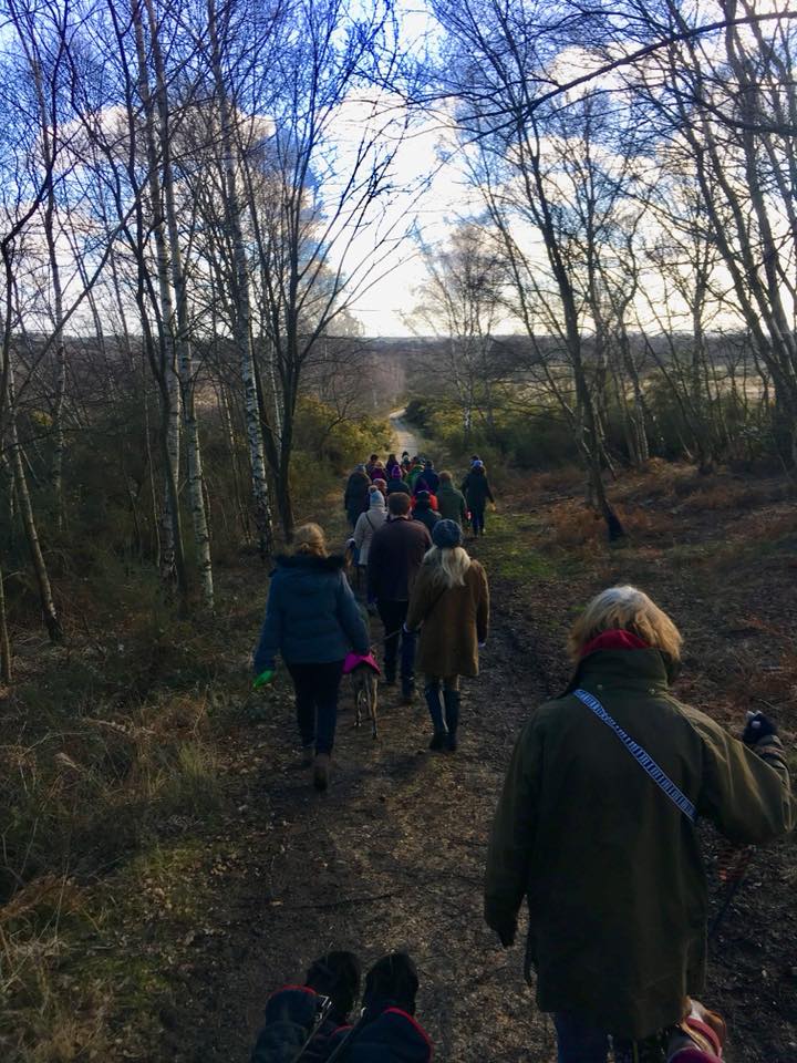
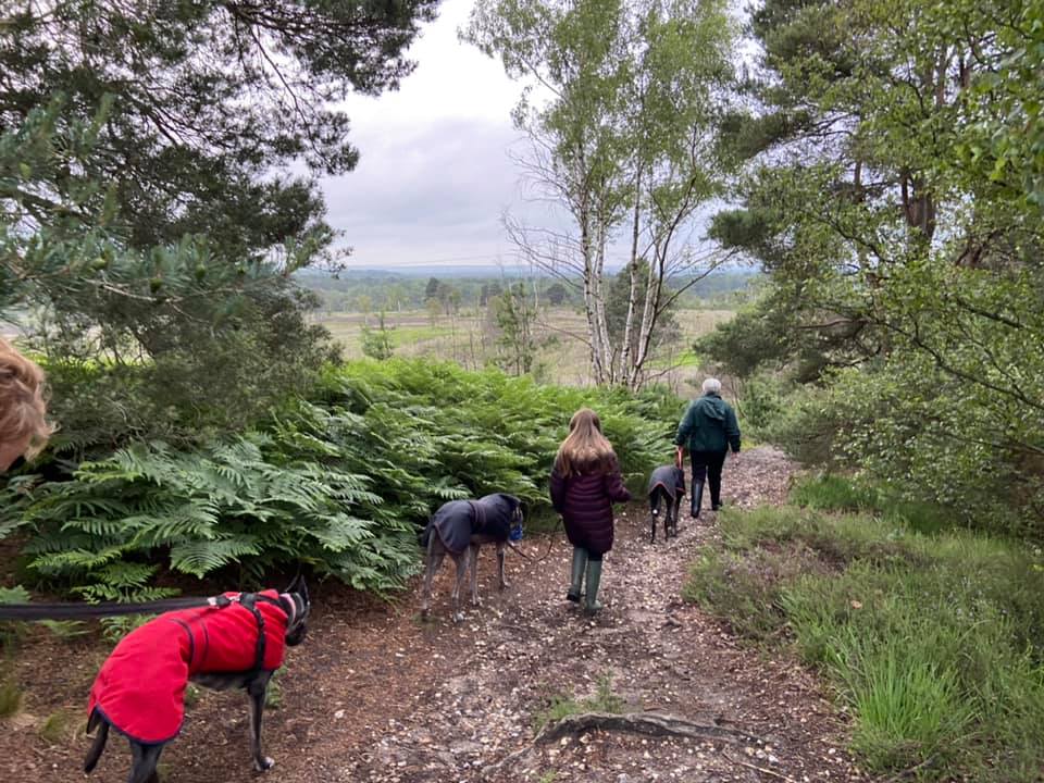
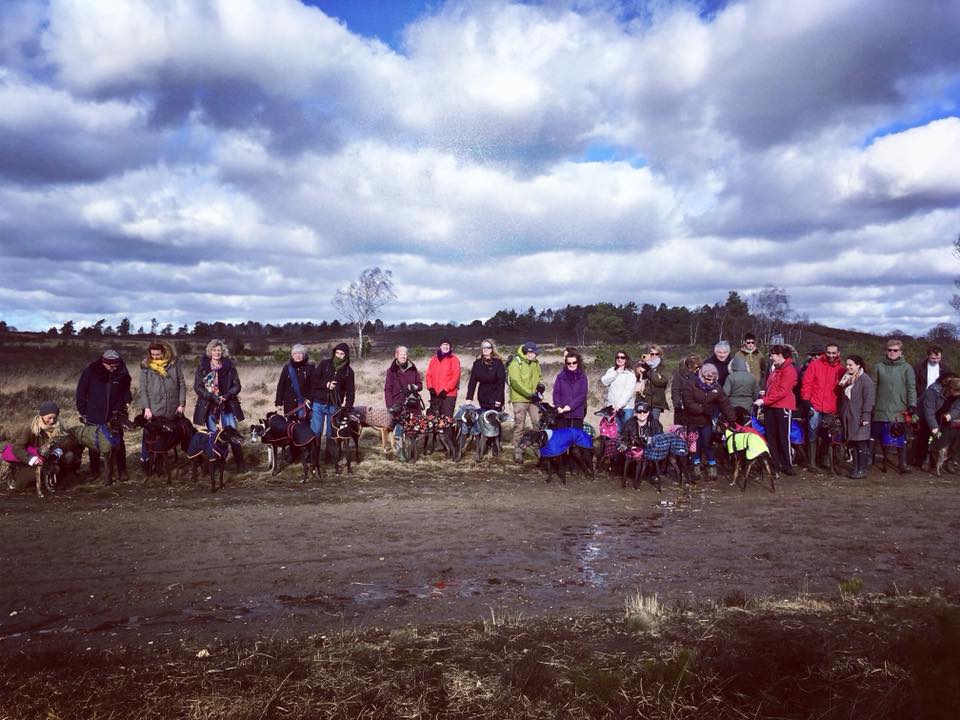
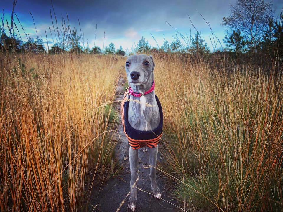
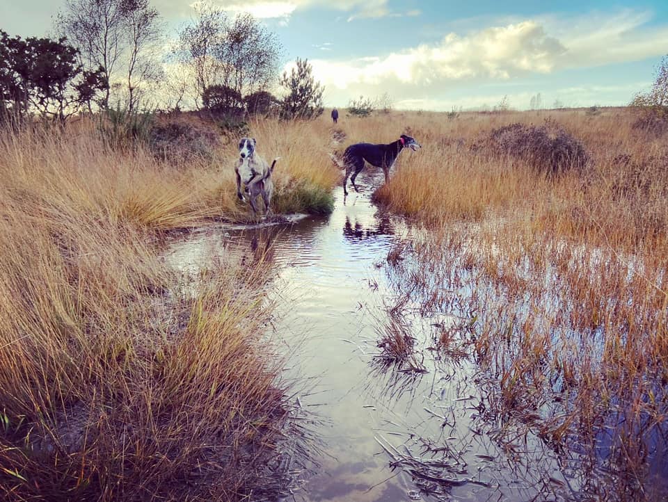
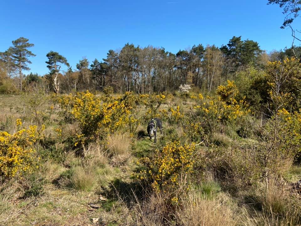
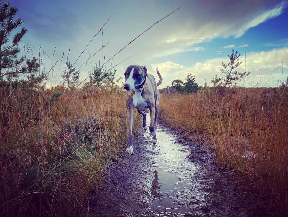
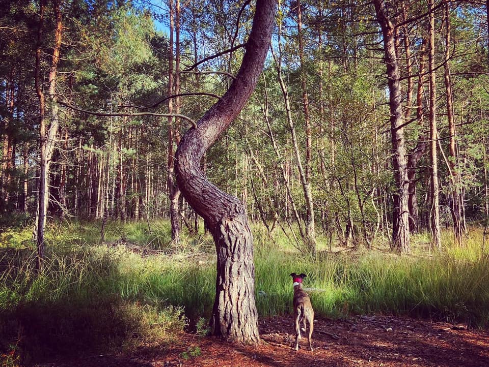
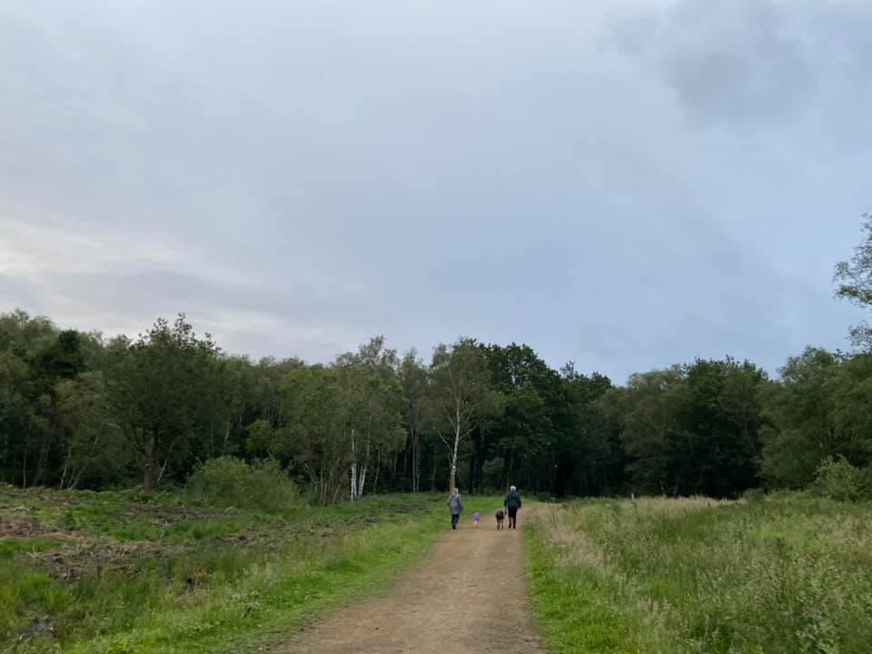
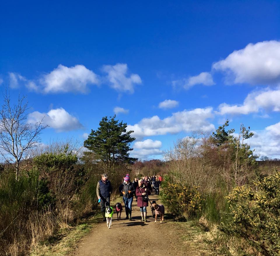
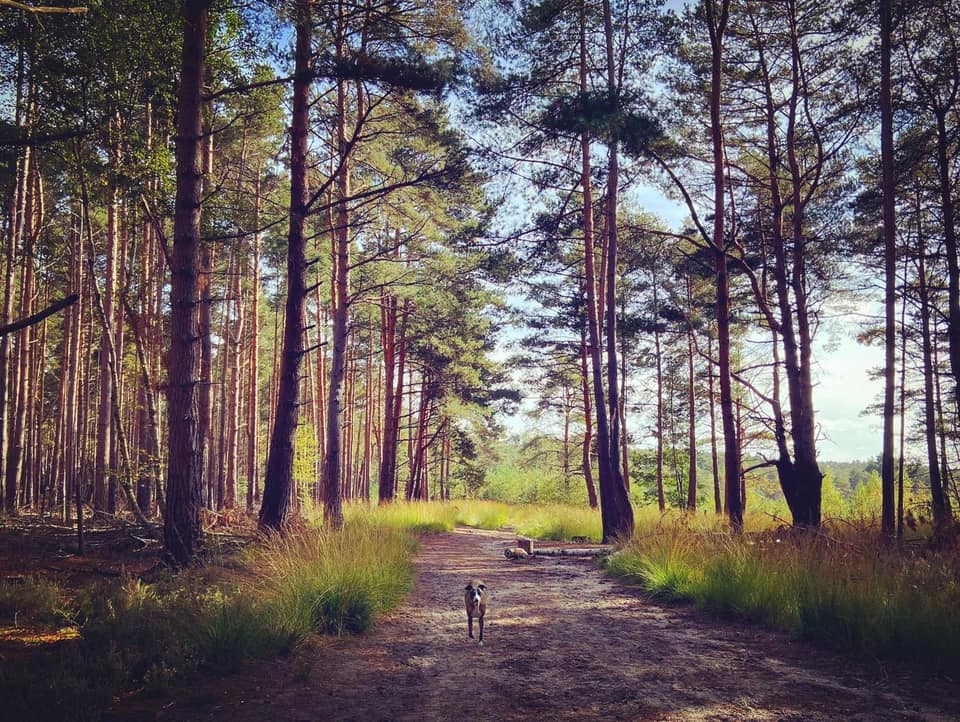
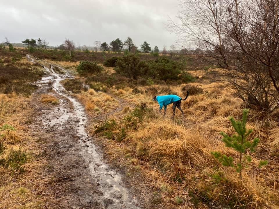
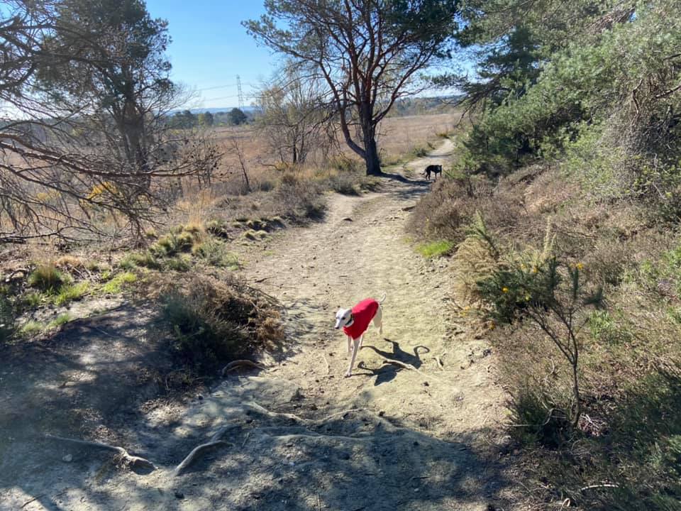
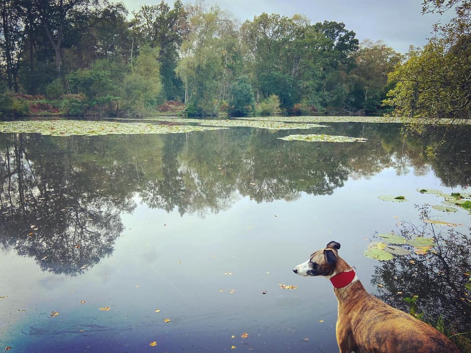
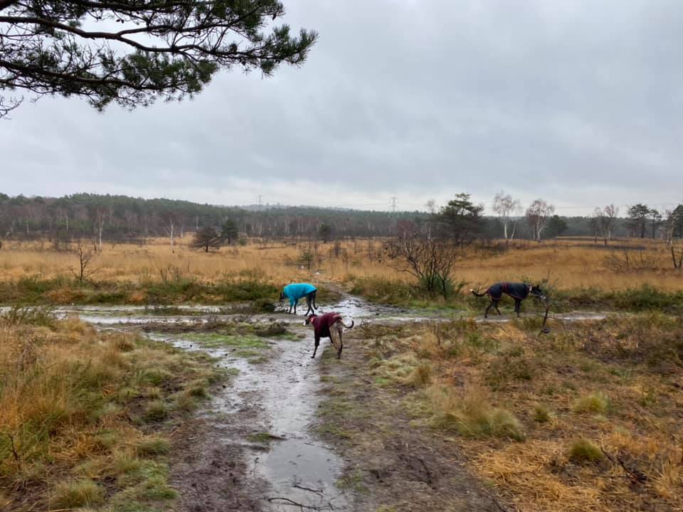
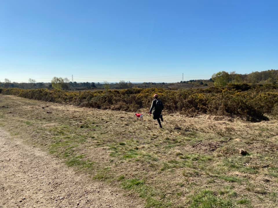
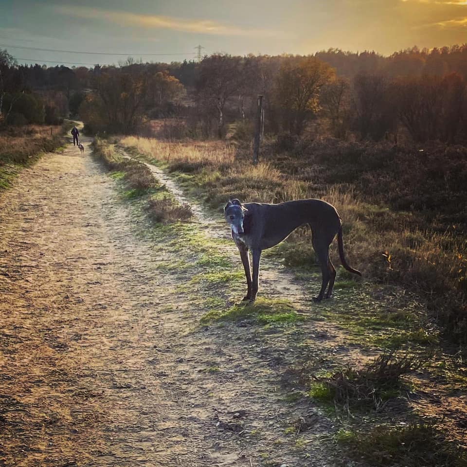
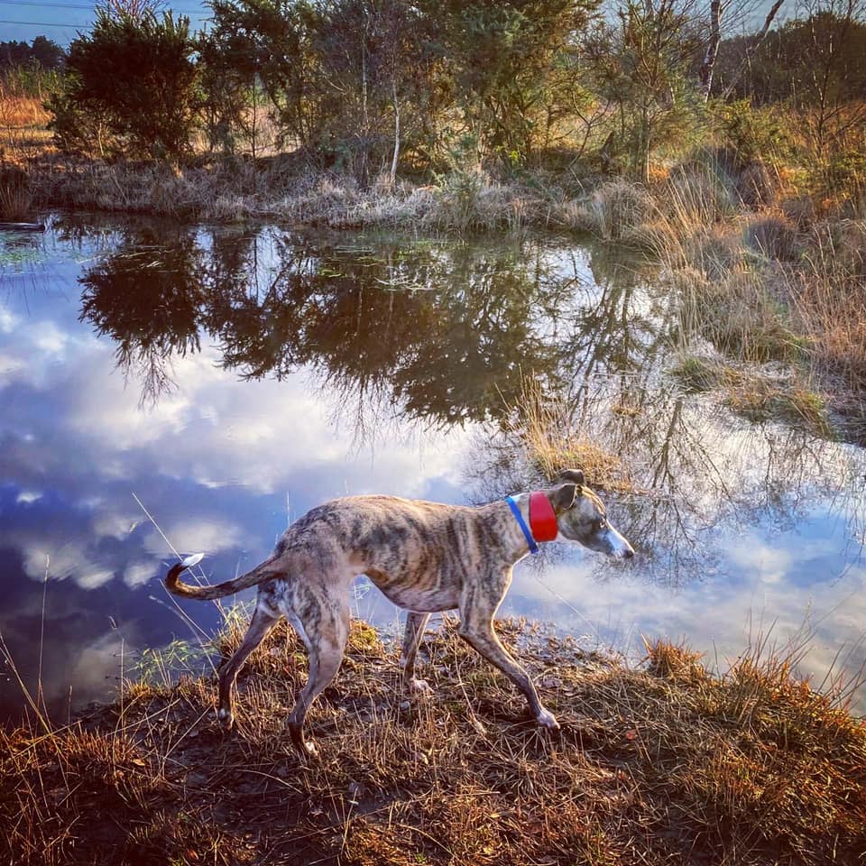
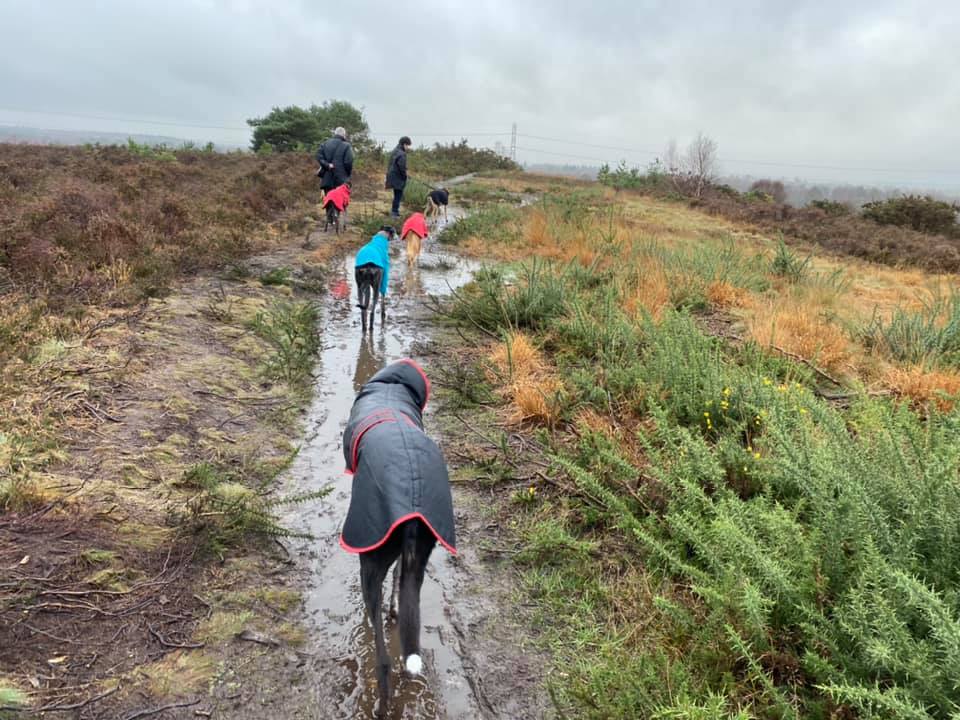
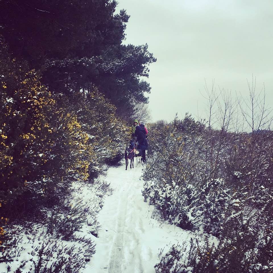
Gallery: What’s it like here?


Parking
There are several car parks dotted around Chobham Common, with no fewer than four serving the area to the south the M3: Longcross car park at the junction of Longcross Road and Staple Hill; Staple Hill car park on Staple Hill; Jubilee Mount car park, also on Staple Hill; and Fishpool car park in the far south on Gracious Hill Road.
I tend to walk around the uppermost part of the area below the M3 and usually park at Staple Hill car park or Longcross car park, although the latter is very small.
For Staple Hill car park
GOOGLEMAPS LINK: https://goo.gl/maps/zLRFR2w5Cee5pzzp6
WHAT3WORDS: dare.deaf.insect
NEAREST POSTCODE: KT16 0ED
Poo bins?
At the car parks, please use them.
Self-guided walk
Here is a Footpath app route for the southerly area of Chobham Common, below the M3. Also on AllTrails. This walk starts at Staple Hill car park, but does go very close to Longcross car park so you could easily start there.
Length: approximately 2.9 miles/4.7km
Terrain: Undulating, but nothing too steep. Sandy paths that can get waterlogged after a lot of rain. Some parts can be muddy in winter. Terrain is quite rough as this is open lowland heath. Very open with little shade in summer so best avoided when it’s very hot.
Stiles/kissing gates? No stiles, no kissing gates
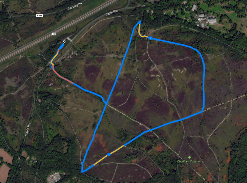
Park in Staple Hill car park and with your back to the M3, which thunders along the opposite side of the car park from the side you drove in on, the vehicle entrance/exit is over at the far left-hand corner. Walk instead to the far right-hand corner and down a small path that heads between gorse bushes. To the right of this little path, there’s a Chobham Common noticeboard and a pay-and-display meter. The car park is free following a misguided attempt by Surrey County Council to introduce charges, but you can donate to the upkeep of the area here if you want.
The gorse path is narrow and runs alongside tall trees on the right. It comes down to an open area and a black vehicle barrier on the left between the open area and the road (Staple Hill). Go around the side of the barrier and cross over the road, passing through the gap by the post with the arrow. Dogleg right-then-left to take the path that descends away from the road into the heart of the common.
Turn left at the major junction of paths, where there is a pond on the other side of the cross paths to the left. Turning left here as directed puts the pond on your right.
This is a long straight section of path, that you follow almost to its end, ignoring a small cross paths about halfway along it. You’re looking for a path to the right next to a tree that cuts off a sharp u-bend corner ahead. When you see it, you should know what I mean. Turn right and follow it up a short, sharp incline and then turn right again at the path it connects to.
If you miss the right hand cut off and come to a sharp right-hand turn, turn right there.
And if you find yourself at Longcross car park (or you are starting the walk from there), about turn and head back the way you came, but bear to the left at the fork, rather than the right, which is where you came from.
The path you have just joined will soon come to a fork – take the one on the right. A short way further on, there’s another fork – this time, take the one on the left/straight ahead. Now follow this path between gorse and trees and, after some distance, it will bend round to the right, narrow and go downslope. This bit is a bit steep bits and uneven so watch your step. Sometimes I have seen the odd fly agaric (red-topped toadstool) here – if you see any, leave them alone as they are toxic. When the slope ends and the path levels out, keep going straight, ignoring the little path that comes off to the right. At the junction at the end, turn right.
Go straight, straight, straight and when you get to the big intersection of this path with another wide path running left to right across it, go straight over. More straight, straight, straight until you get to the next right (there’s also a path coming in from the left here) – turn right here on a path that curves round to the right and you’ll almost be going back on yourself.
Straight, straight, straight until you get to the big junction of paths – there’s a pond over this cross paths on the right that you should recognise from earlier. Turn left here* and head back upslope on the path you came down from the road.
*Unless you started at Longcross car park, in which case, go straight over the cross paths with the pond on your right and walk straight, straight, straight and the car park is at the very end of this path.
At the road, take care crossing over, pass to the side of the black barrier again and turn right on the narrow gorse-lined path to Staple Hill car park.

Leave a comment