Page contents
About
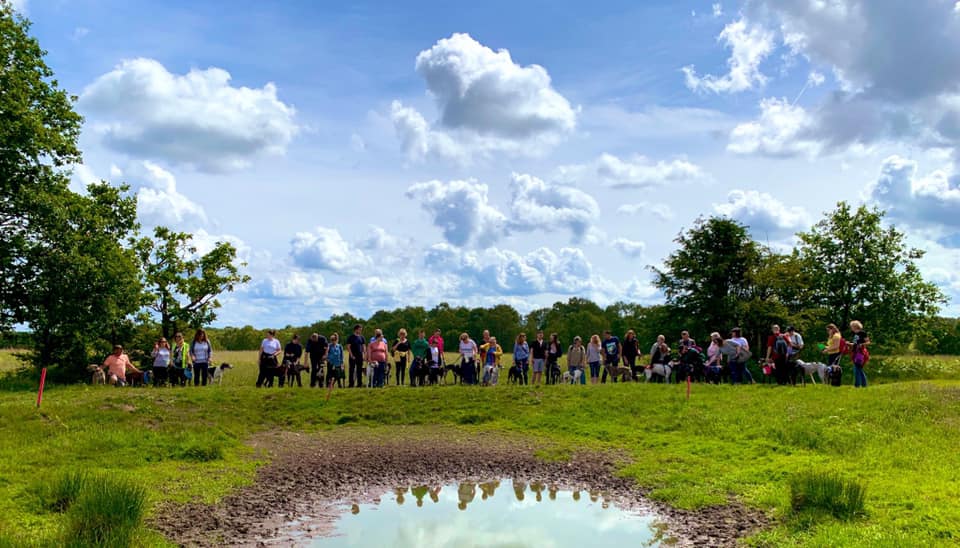
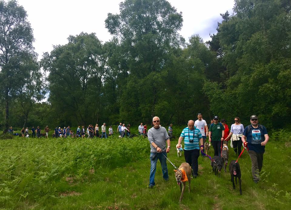
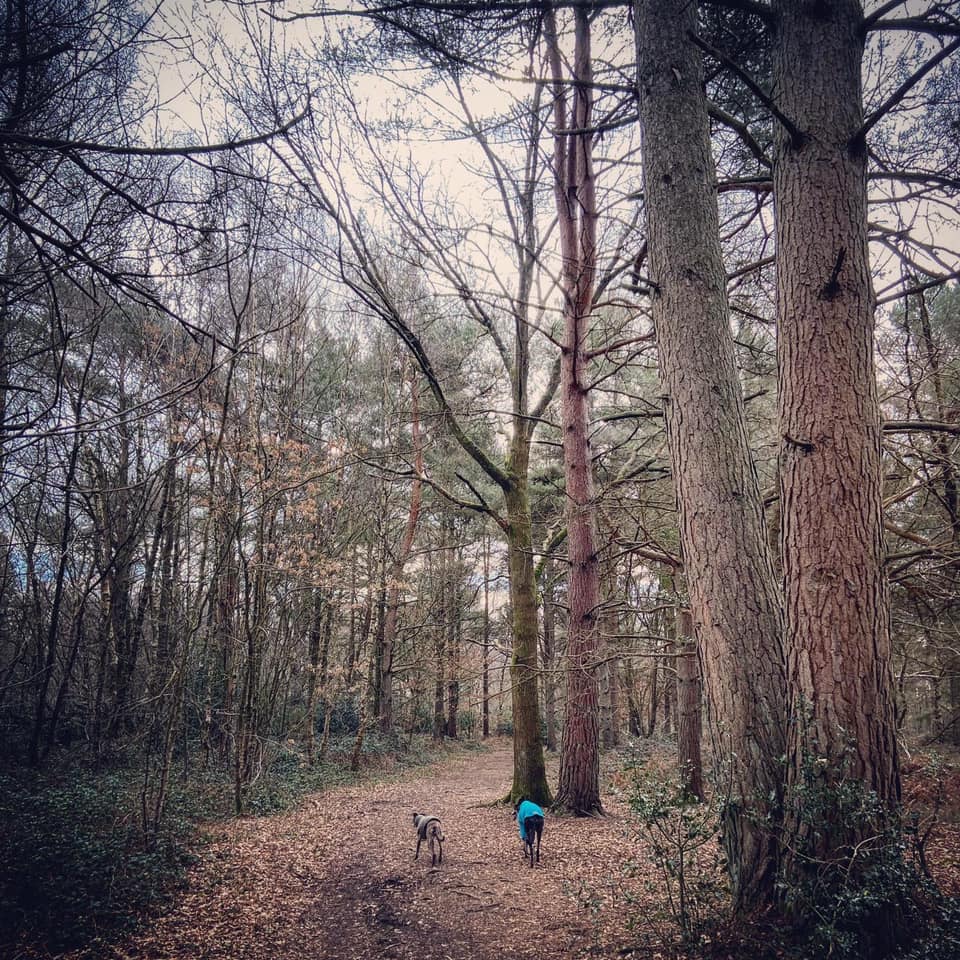
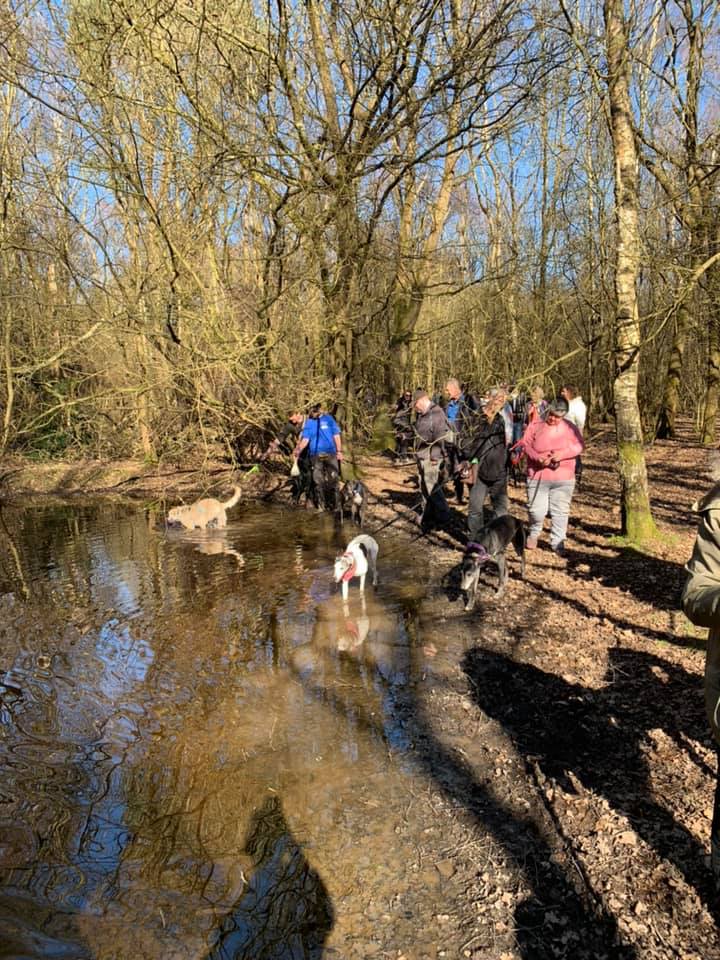
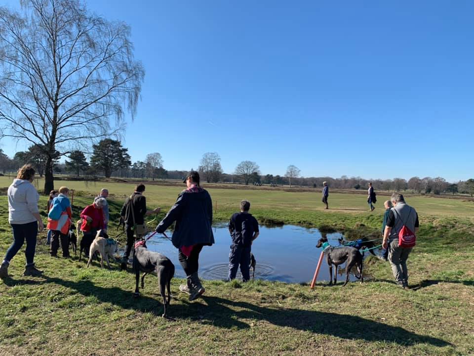
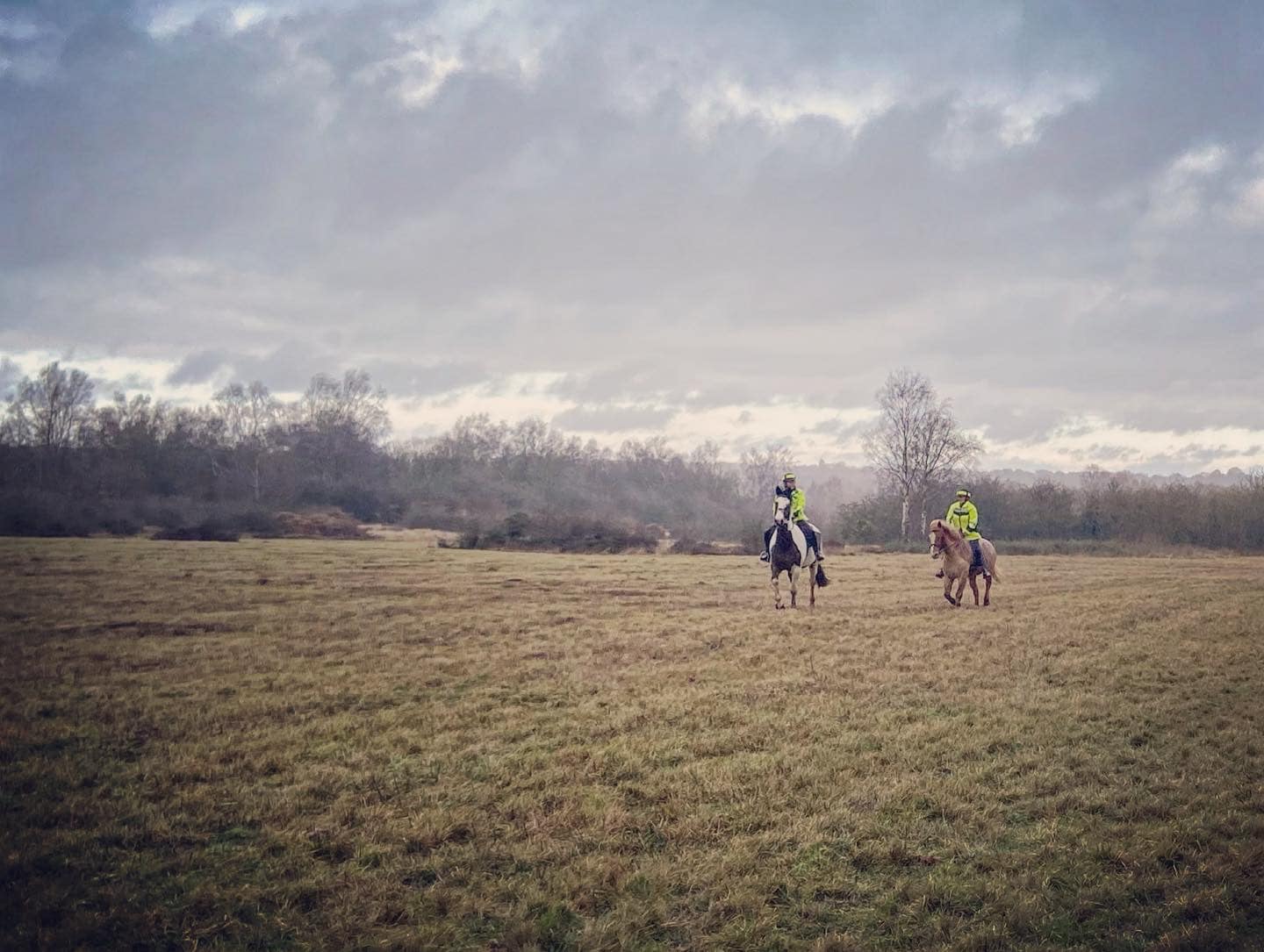
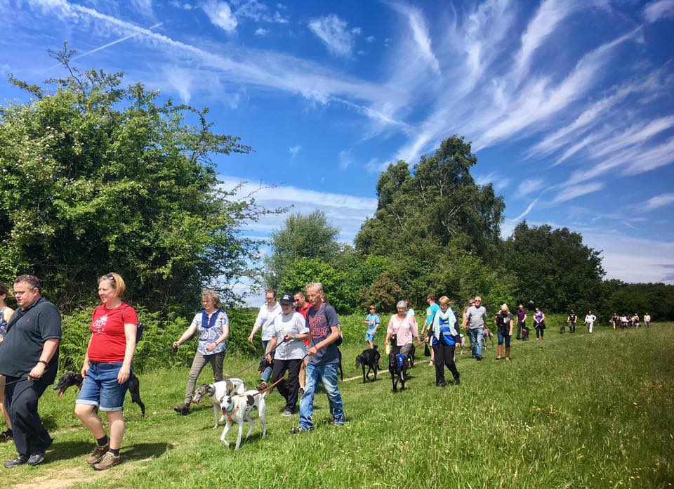
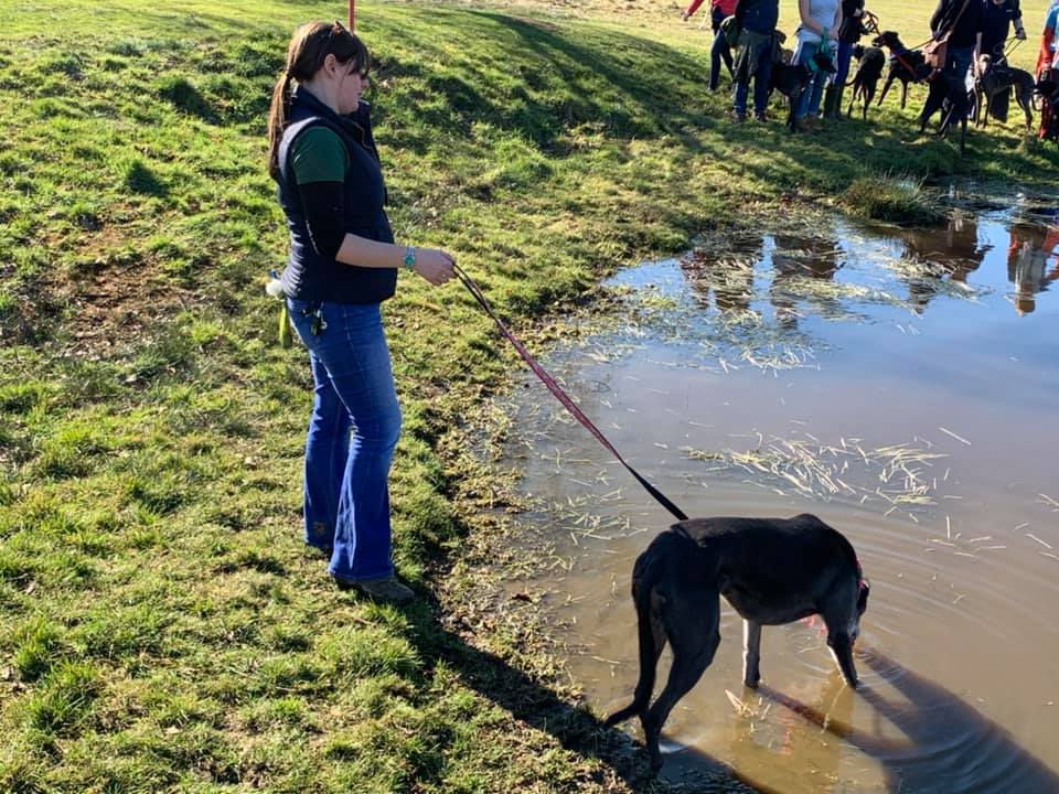
Gallery
Parking
Poo bins?
Self-guided walk
About
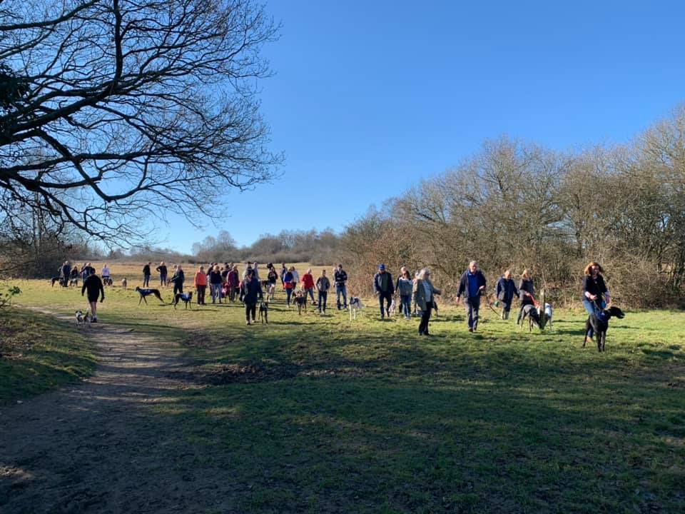
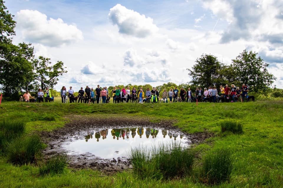
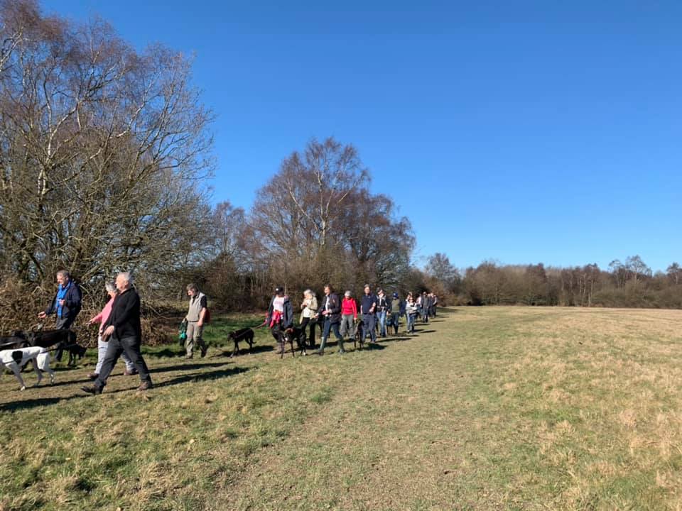
Mogador is a tiny hamlet adjacent to Banstead Heath and the first place that SSWG walked as a group. Before the group was formed, this was where Dave Hall used to host the Great Global Greyhound Walk (GGGW), fundraising for WGW. Dave handed organising GGGW to SSWG after the group was formed and we have brought the GGGW here for a number of years (apart from 2021 at Wimbledon Common.)
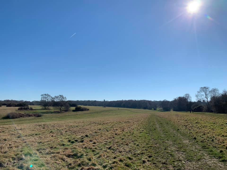
Banstead Heath comprises open grass land, scrub and woodland. It is the largest and most southerly of the four commons making up Banstead Commons, with a total area of 310 hectares (760 acres), stretching from the M25 in the south to Tadworth roundabout on the A217 to the north with a southern border with Walton Heath Golf Course.
It is home to a range of birds such as Skylark, Woodlark, Linnet, Yellowhammers, Redpoll and Reed Bunting. Green Woodpeckers are often seen hunting for insects on the ground and during May and June, and Woodcock are frequently seen at dusk. Various mammal species are well represented on the Heath including foxes, roe deer, badgers and dormice. Banstead Heath is also notable for large numbers of butterflies in high summer. The Browns and Skippers are the dominant species. One notable insect that was found on Banstead Heath is the Bog Bush Cricket.
Like most of Surrey, Adders do live here so watch out in the summer. They are shy and more likely to slither off before you even notice them than they are to attack, but they can sometimes be seen basking in sunny clearings in the scrub or bracken.
This website has another walk for Banstead Heath, starting from the other side of this area at Tadworth.
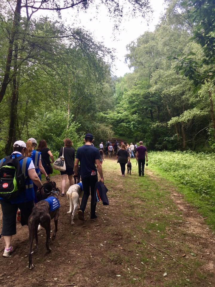
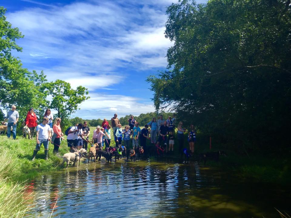
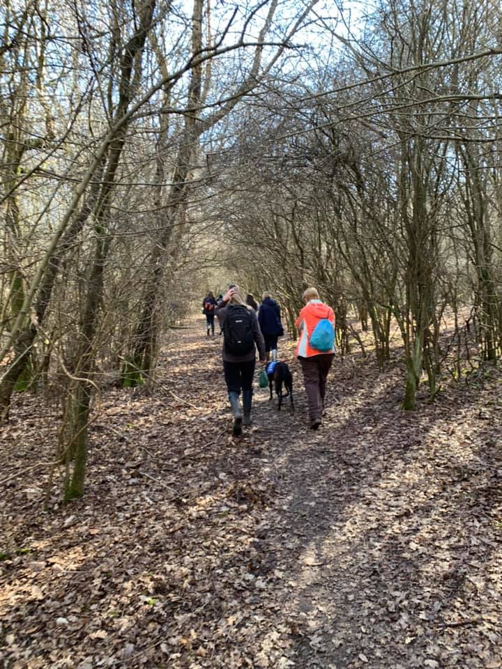
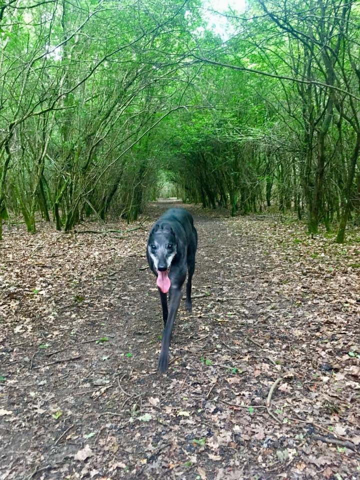
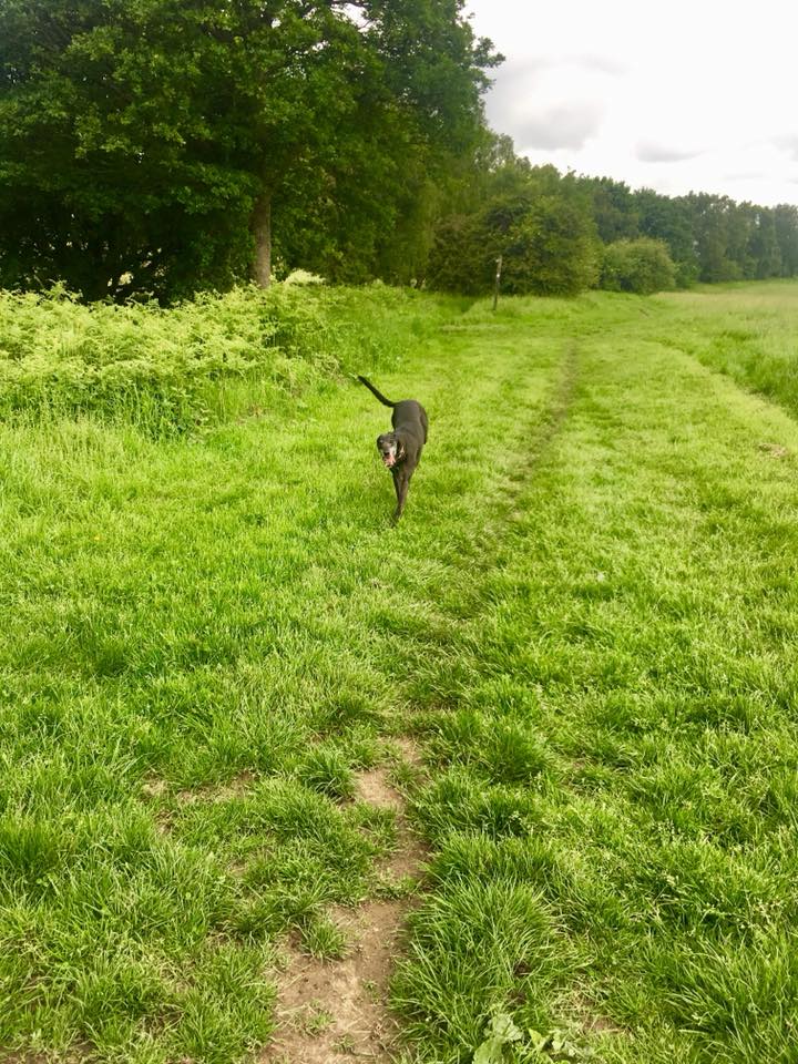
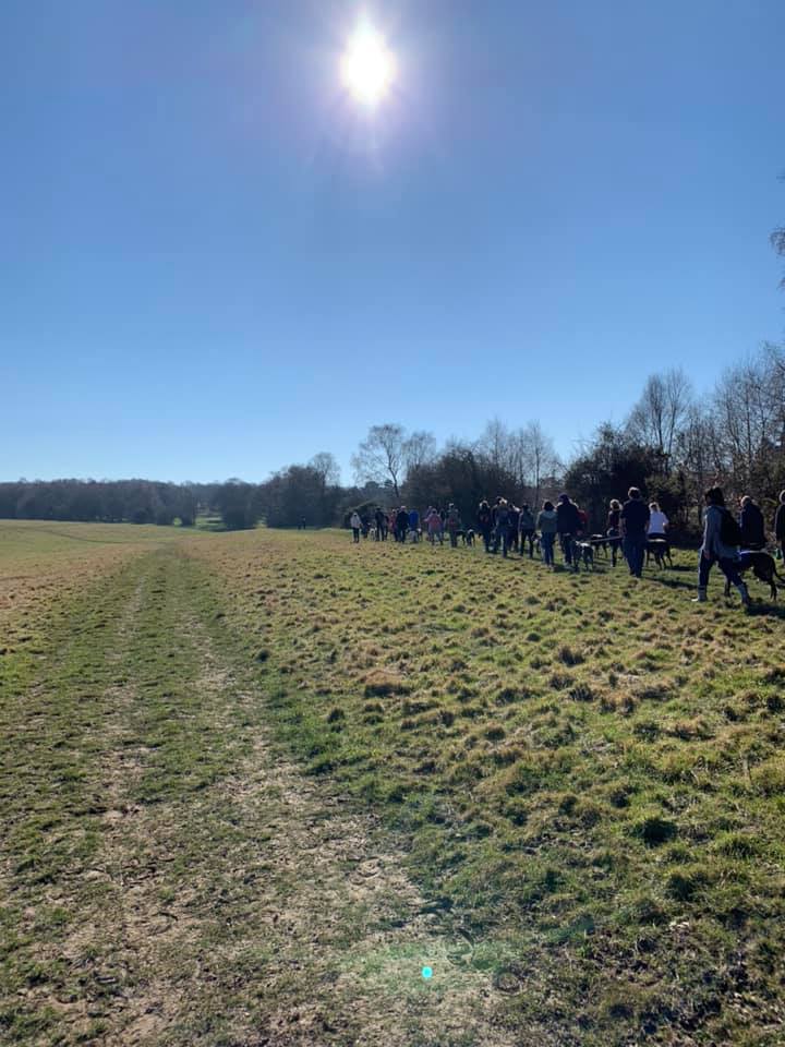
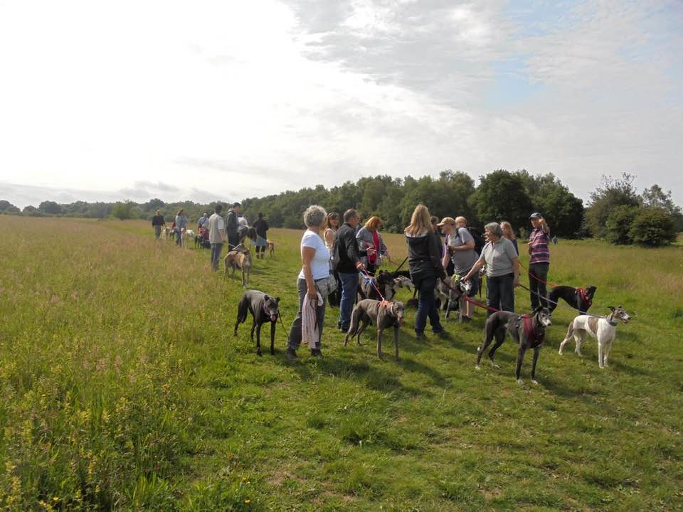
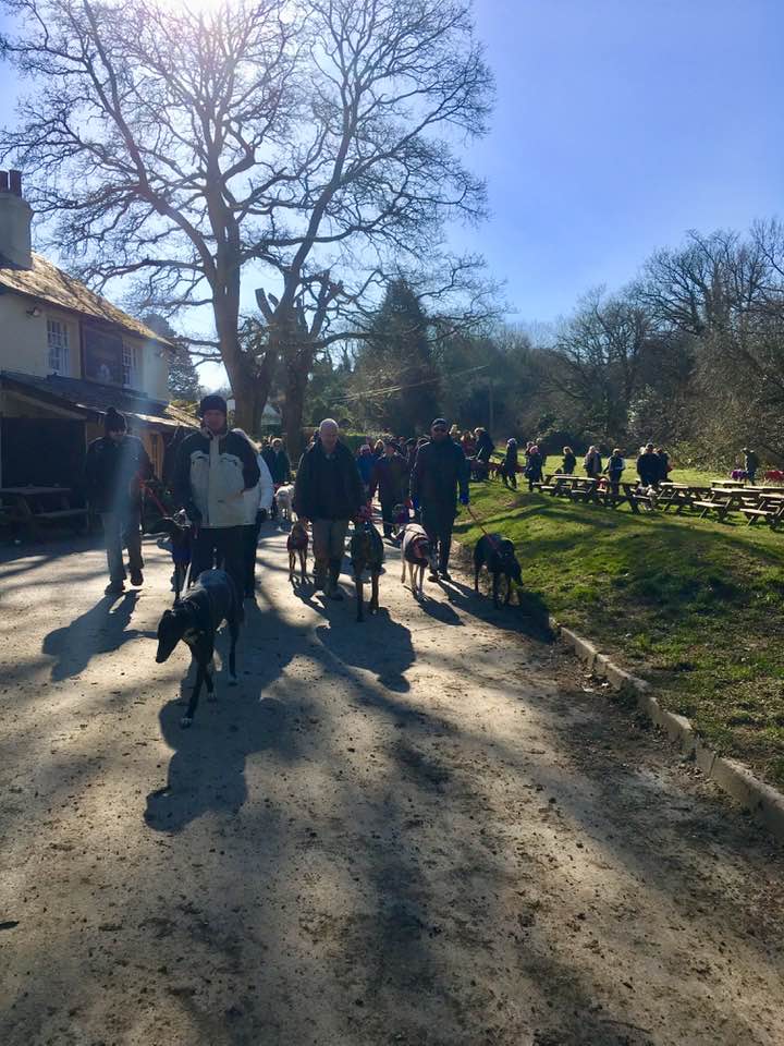
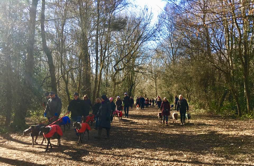
Gallery: What’s it like here?
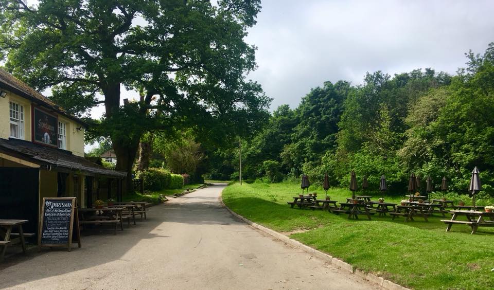


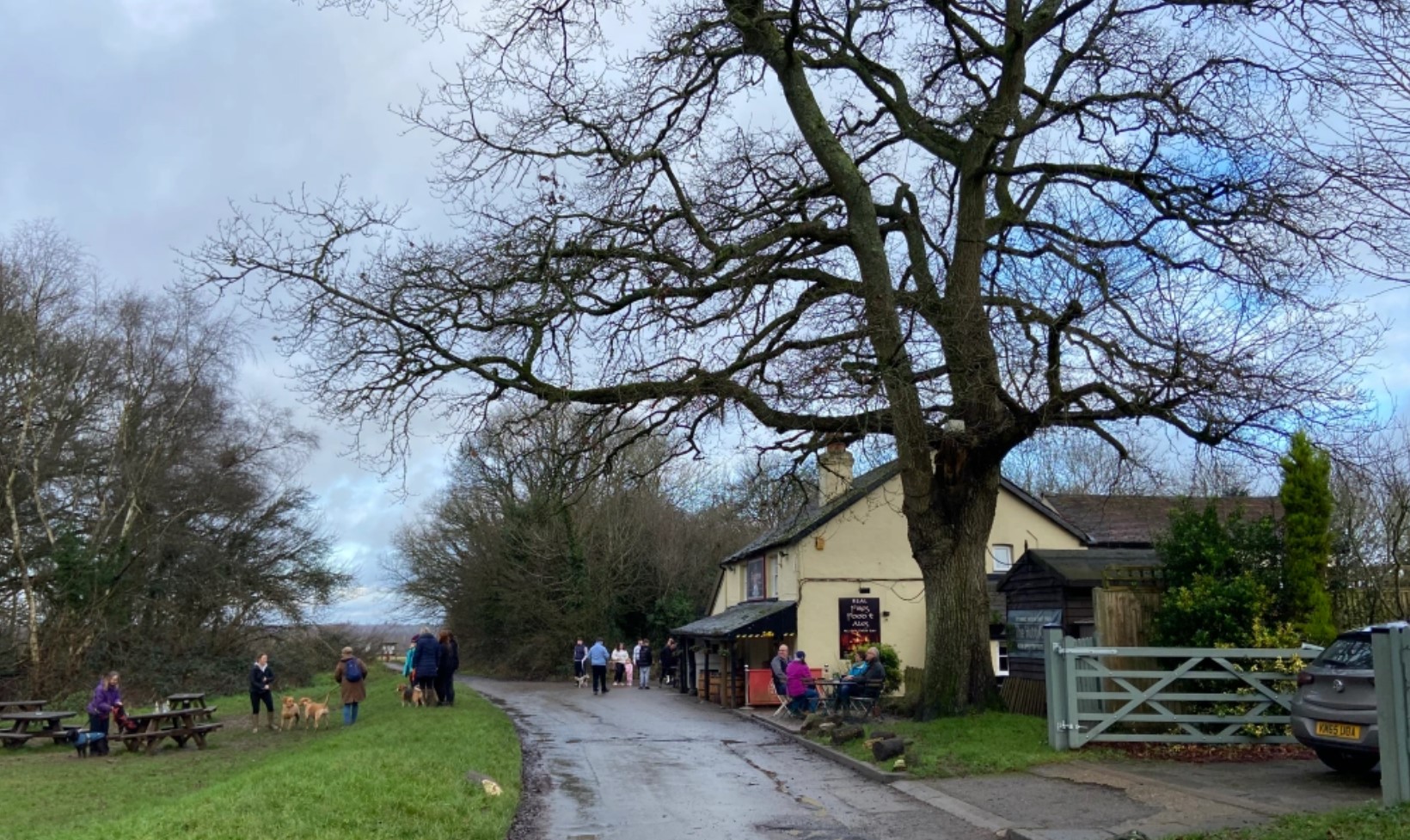


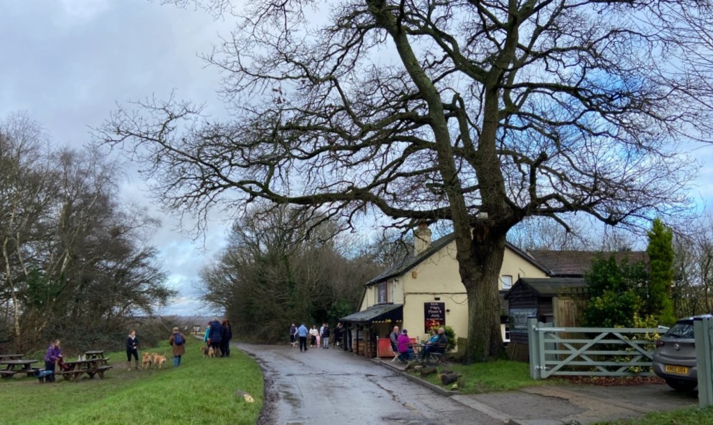
Parking
Customers of The Sportsman pub can park in its car park for free. I like to team a walk here with a drink or lunch after. You can also park for free along Mogador Road, before the lane turns right to the pub.
GOOGLEMAPS LINK: https://goo.gl/maps/CYMwrriKQ9hMK3U18
WHAT3WORDS: rots.calls.wakes
NEAREST POSTCODE: KT20 7ES
Poo bins?
No poo bins here, please take waste home for disposal.
Self-guided walk
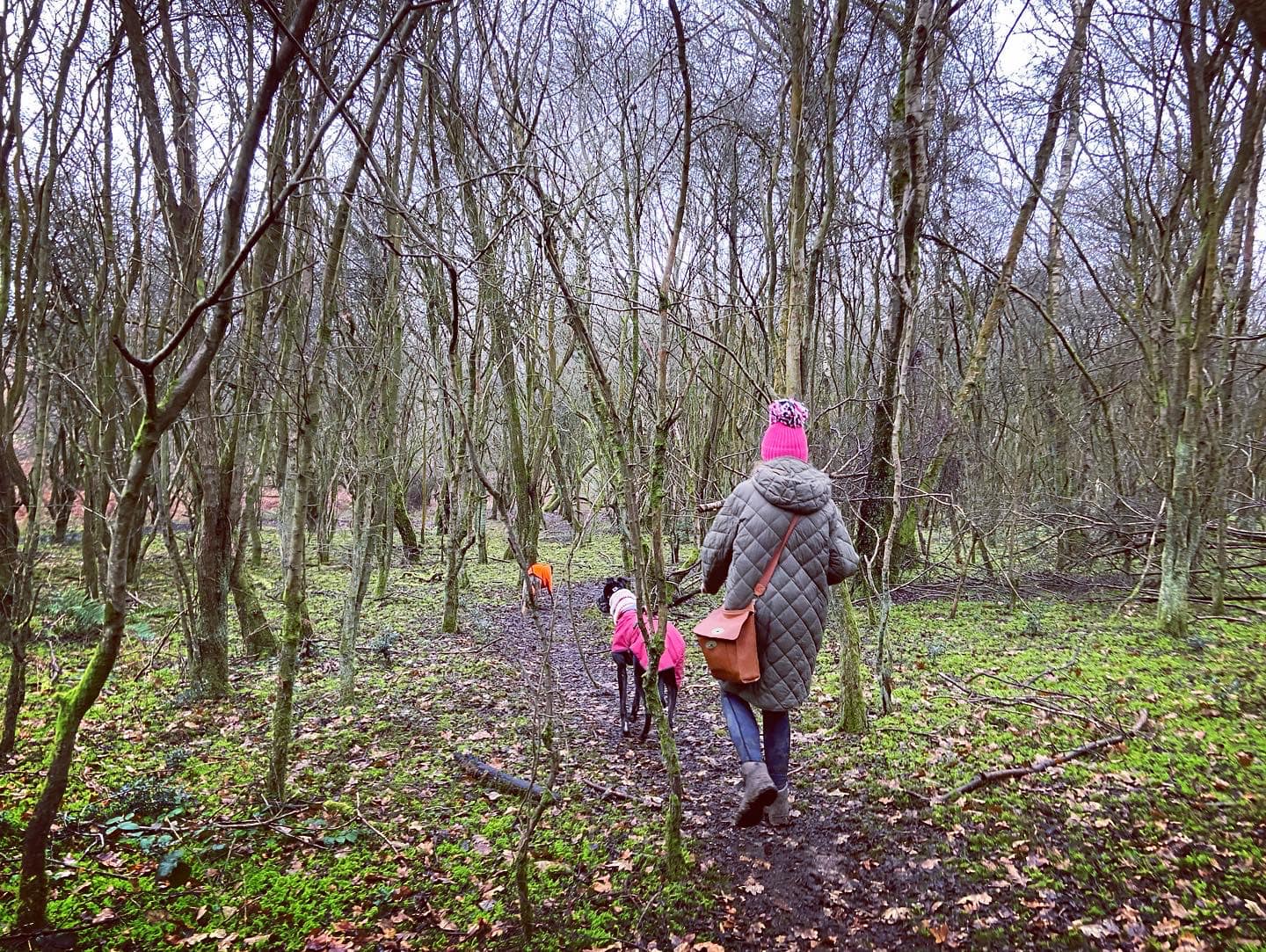
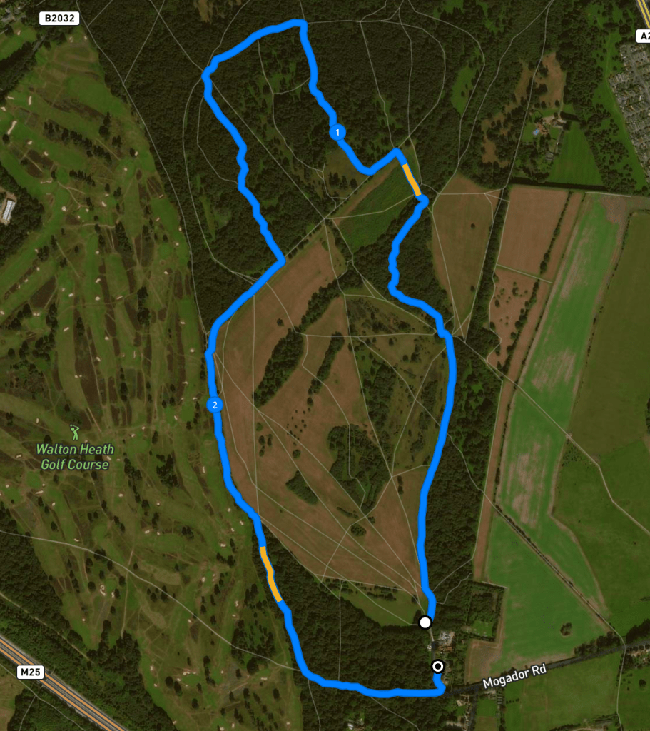
Here is a Footpath app route for Banstead Heath/Mogador, starting at The Sportsman pub. Also on AllTrails. It takes you along the edge of the heath, through the woods, past a couple of ponds (one in the woods and one by the golf course), then loops around the edge of the heath and through another stretch of woodland.
Length: approximately 2.7 miles/4.4km long
Terrain: Mainly flat across grassland and through woods
Stiles/kissing gates? No stiles, no kissing gates
With the pub building and car park behind you, take the main footpath from the end of the lane onto Banstead Heath. Keep to the right-hand side with the woodland on your right. To your left, you’ll see a wide expanse of grassland. Walk straight ahead for quite a way until you come to a junction of paths and turn left. Almost immediately, the path heads up slightly with a clump of woodland on the right.
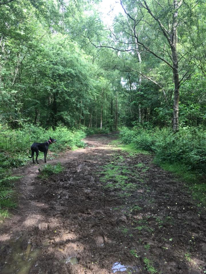
You should see a little path heading into the woods – go through the gap and follow this path as it winds down and around the trees. It’s not on any maps and you’re really following your nose with it but there aren’t any paths coming off it so you should be ok!

At the end of this path, bear right onto the path that cuts across. Follow this for a little way and it’ll bring you out at a clear footpath running left to right. There’s often a puddle here. Turn left and follow this path up the slope. You’ll come out of the trees and this area is often covered in ferns or grass.
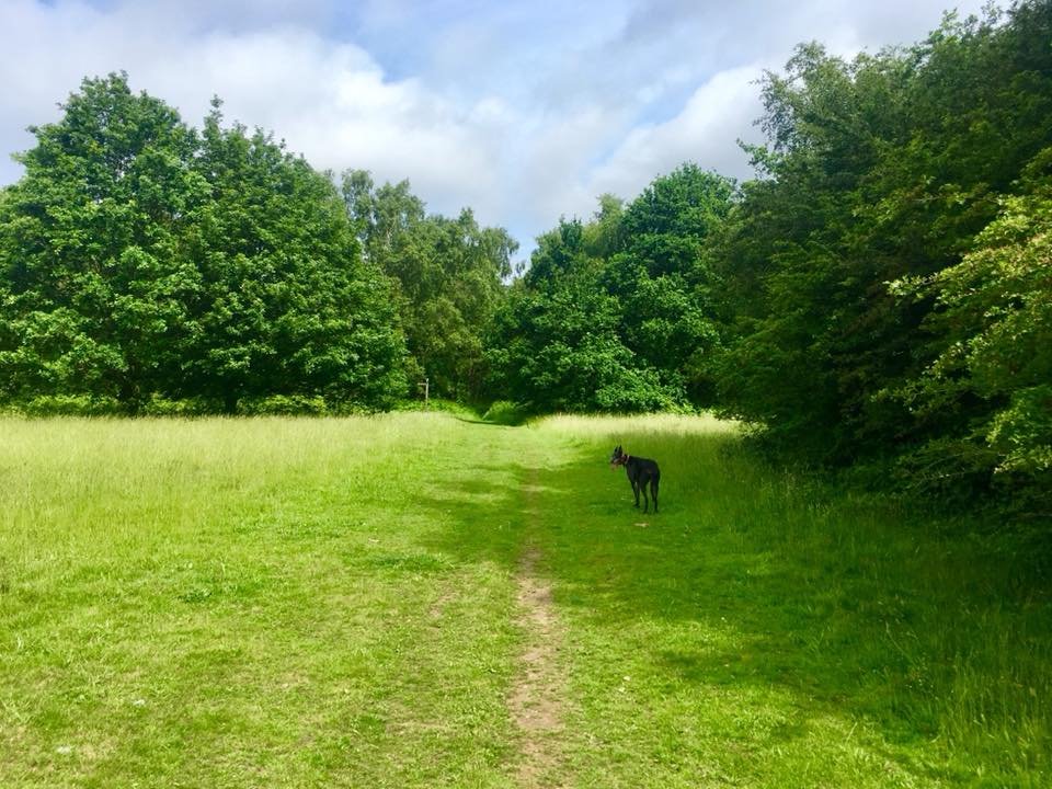
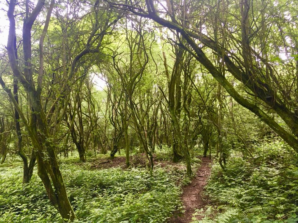
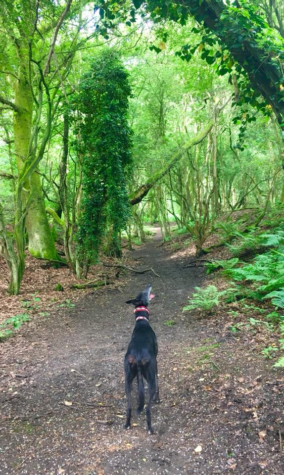
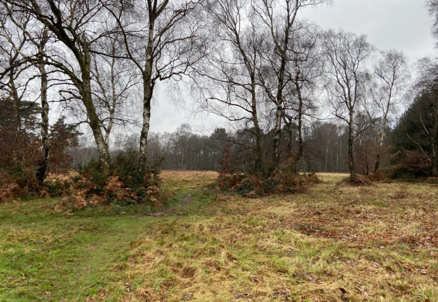
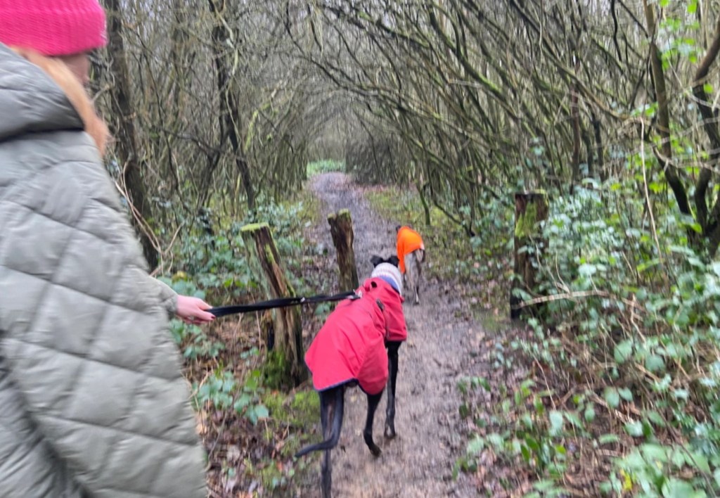
Continue up the slope and straight on – you’ll see a line of trees ahead, which have a footpath/bridlepath on either side. Cross the first footpath and walk through the gap in the tree line. Immediately turn left and walk just a short way along the grassy bridlepath – to the next gap in the tree line, which is now on your left. Opposite this gap, you’ll see a small path coming off to the right (pictured) which winds through scrub and heads towards another patch of woodland.

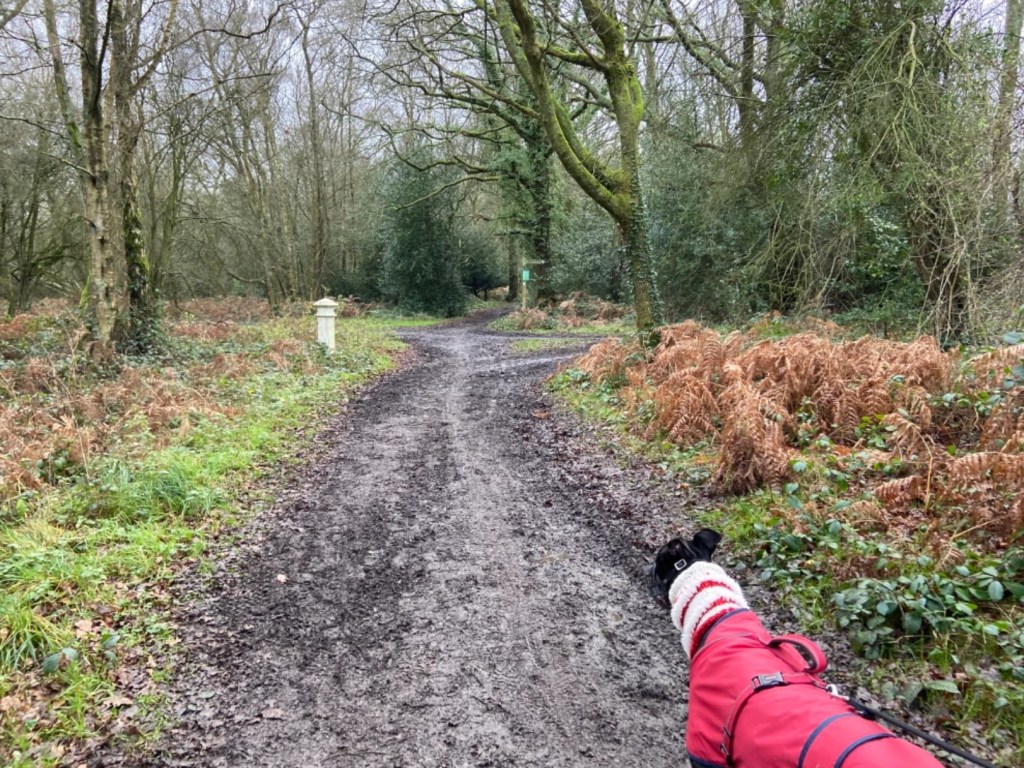
Take this path and follow it all the way to its end – where there is a wooden post across the path where it comes out onto a wide bridleway. Turn left and then continue ahead until you come to the junction of paths. This is quite a significant junction. Turn left here and take a few paces forward. To your right, you should see a small path that goes between some small wooden posts and into woodland (pictured).
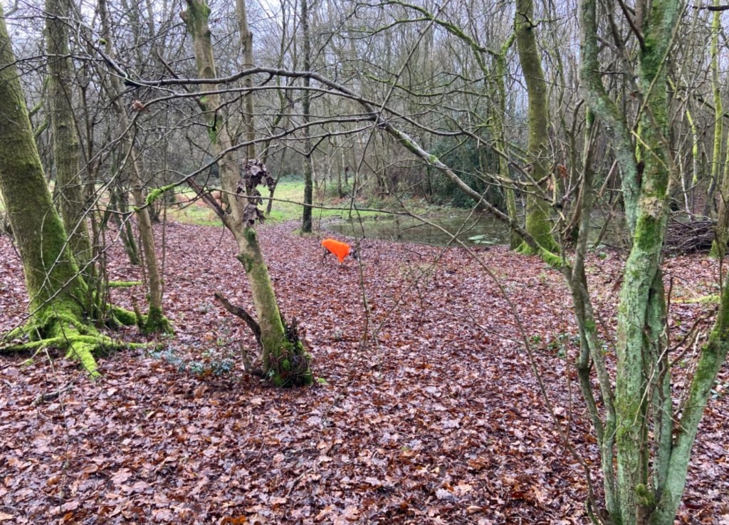
Take this path. When you come to the fork, take the left one and it will bring you down to a pond on your right. Take the little path off to the right that goes right along the water’s edge of the pond and then turn left onto the path it meets.
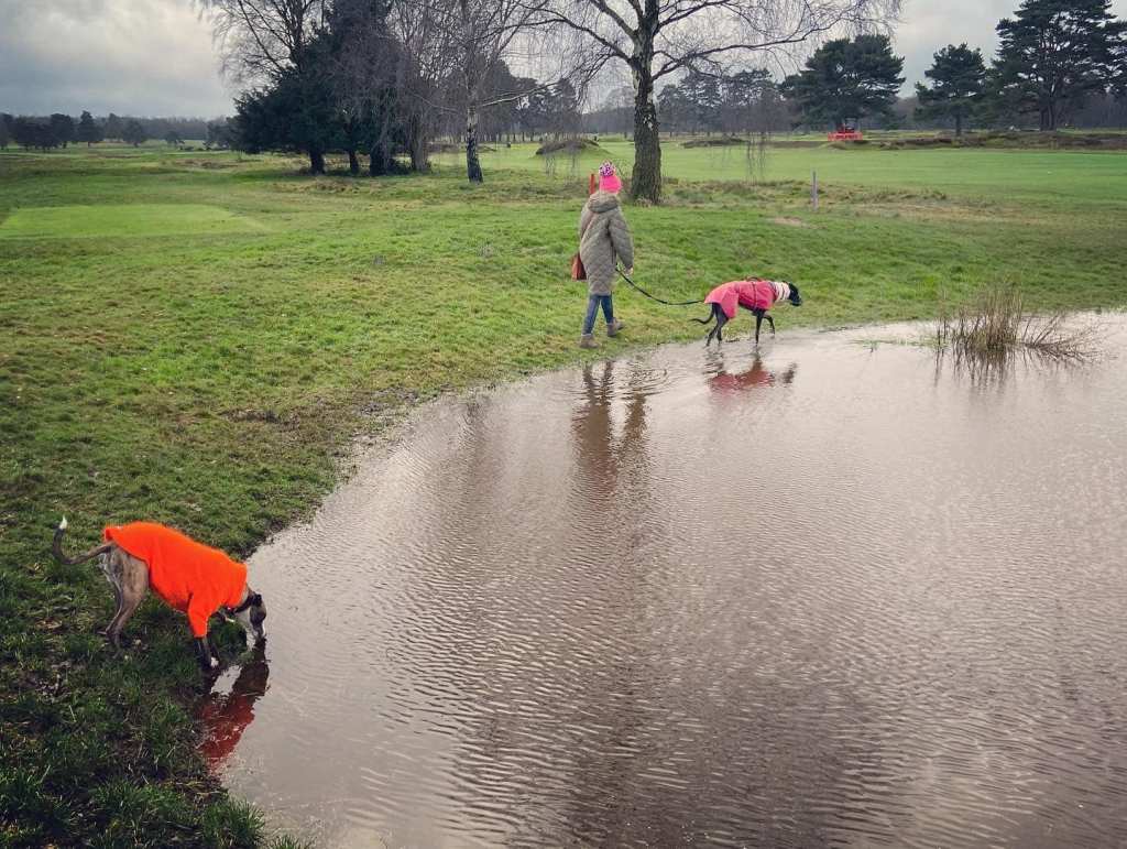
At the next fork, I take the right-hand path but it doesn’t really matter as all paths here bring you down to the grassy bridle path that you crossed earlier before you turned off into the scrub. When you reach that bridle path, turn right and walk straight ahead to where the path ends at the golf course. Turn left and walk along the edge of the course, passing a pond on your right.
This path eventually takes you back to where you started if you go all the way to its end. However, you will come to a cross paths with a finger post and turning right here will take you on a shadier path through woods. You’ll see the golf course on your right still. Follow this path to a cross paths where on your left, you’ll see a white marker.
Turn left and this footpath brings you down to the lane. At the lane, go left and walk along to the Sportsman pub.