
Page contents
About
Gallery
Instagram reels showing here
Parking
Poo bins?
Self-guided walk
About
The Ashdown Forest is in East Sussex (although parts of it are not far from the Surrey border) and it has some absolutely stunning locations to enjoy (see also this walk at the Garden of Eden and this route from Box car park which also takes in the Garden of Eden waterfall but via the Friends’ Clump and Nutley Windmill).
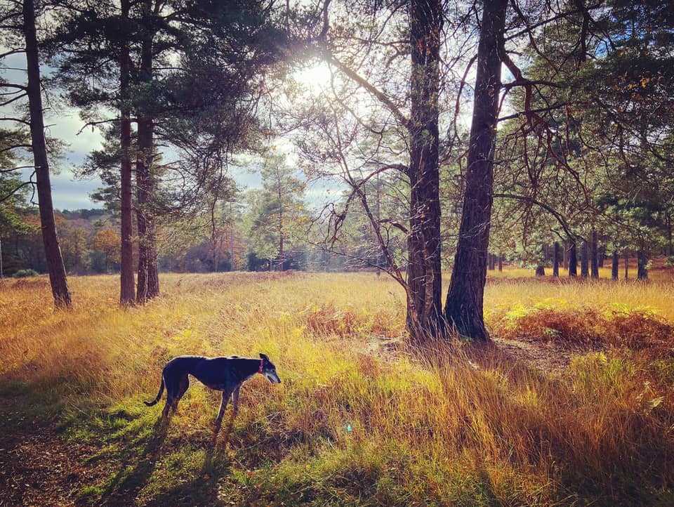
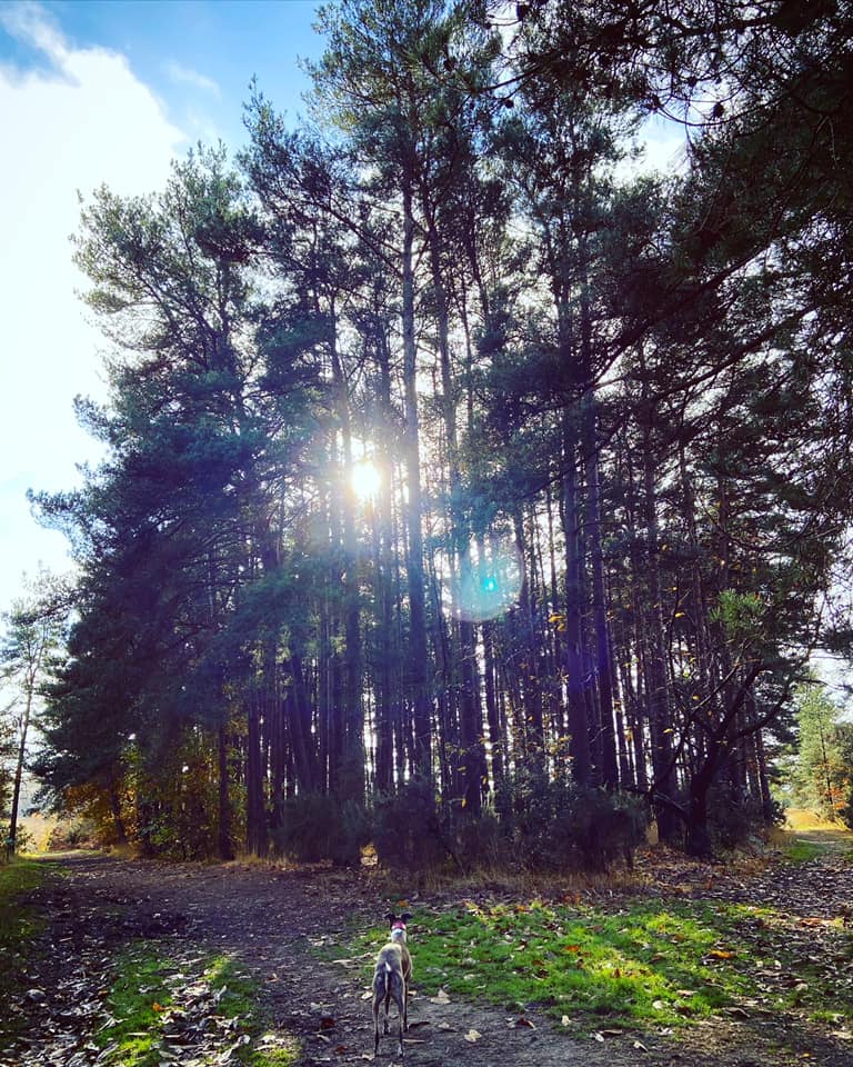
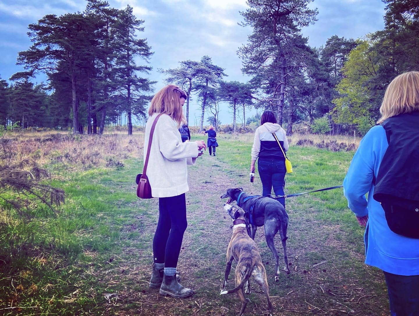
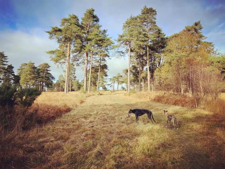
Despite its name, the Ashdown Forest is chiefly made up of lowland heath, with woodland comprising less than 40 per cent of its total area – however, it was originally a deer hunting forest in Norman times.
Chelwood Vachery, a medieval estate dating back to at least 1229, was likely named after the French for cow (vache) since cattle used to be grazed in this area during the 14th century. The large house and spectacular grounds here today were built in 1905 by the banker and MP Sir Stuart Samuel.
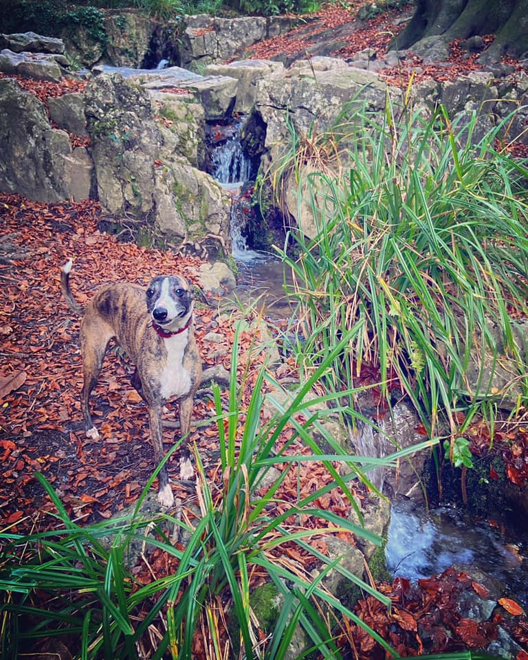
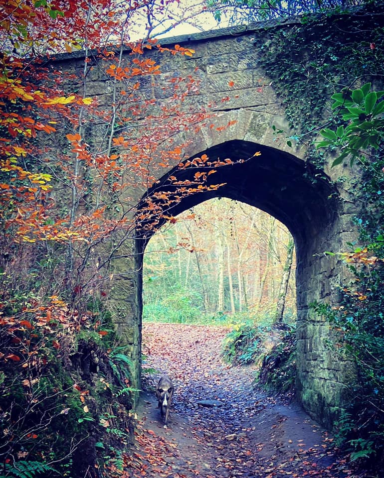
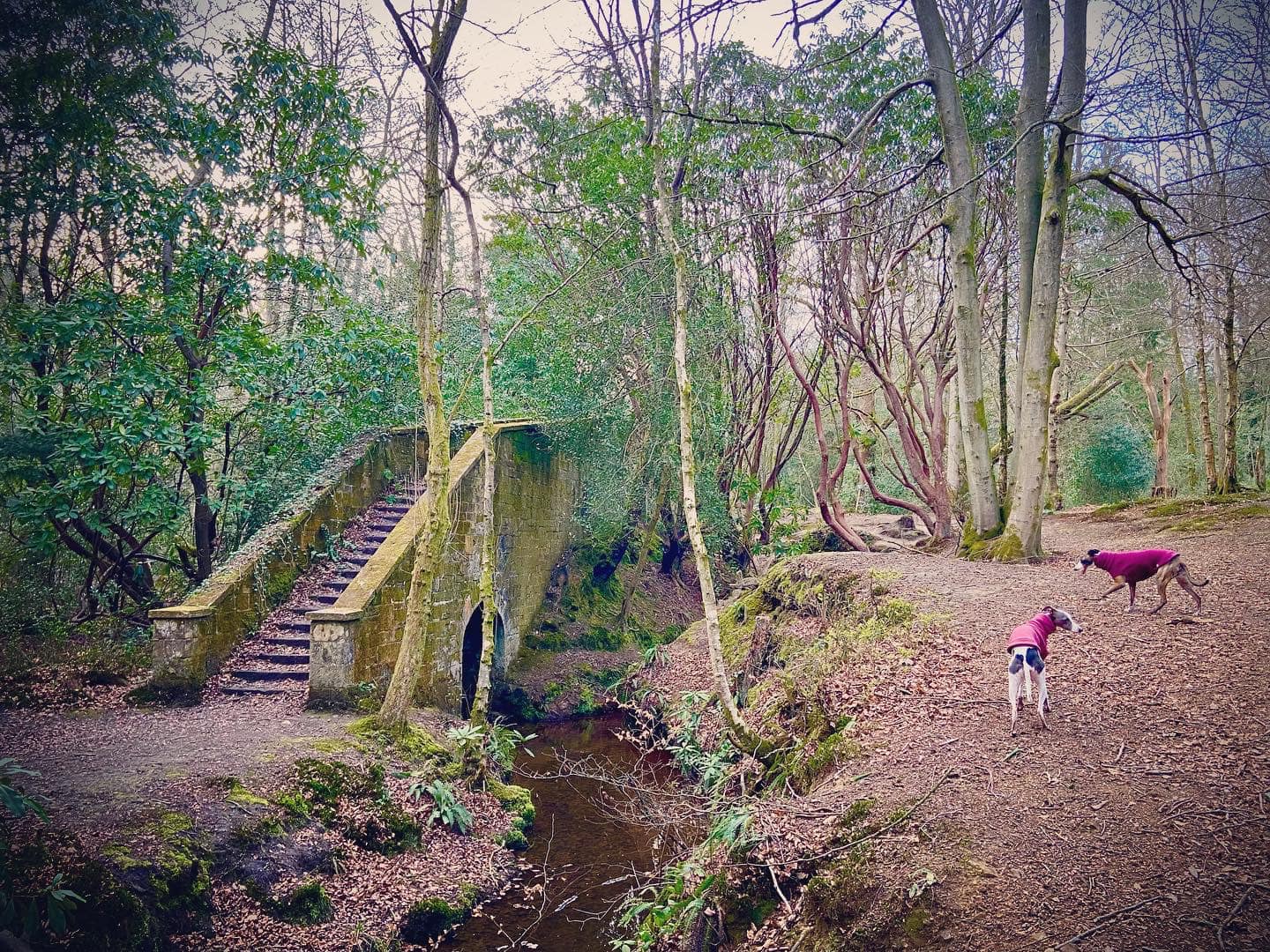
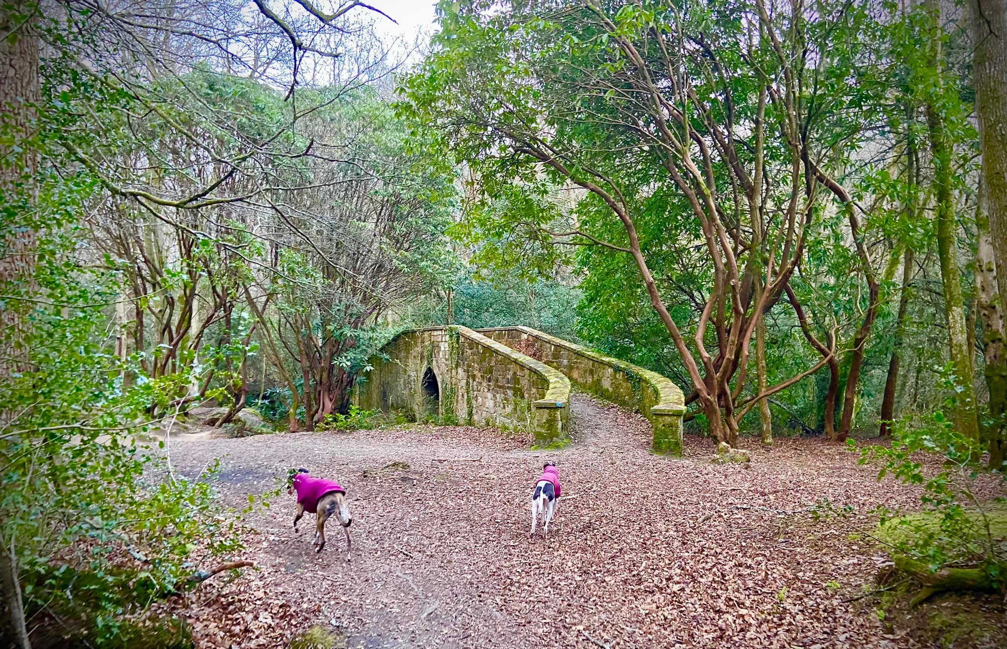
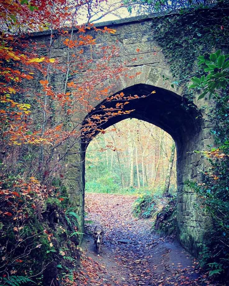
The Forest Garden began to take shape shortly before 1910, with the creation of the lakes and ponds. In 1925, the site was purchased by FJ Nettlefold, who built the gorge either side of a small natural stream that runs down the hillside. The Folly Bridge was added in the early 1930s – these days it is somewhat redundant, carrying a path that goes nowhere over the bridleway down to the stepping stones in the Millbrook stream.
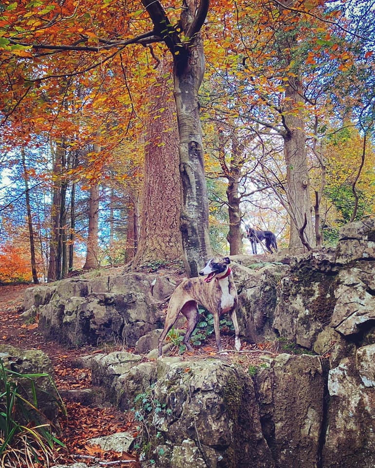
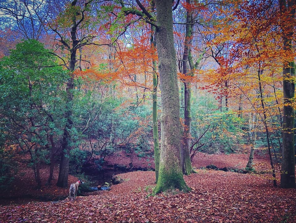
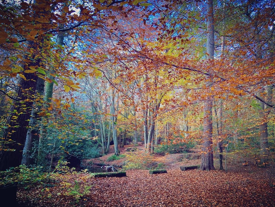
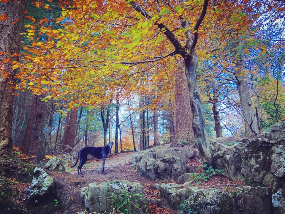
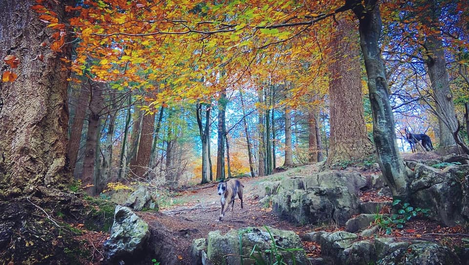
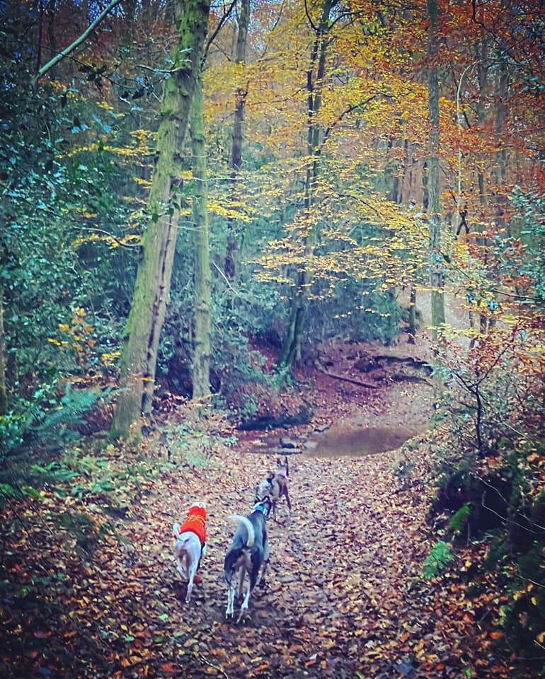
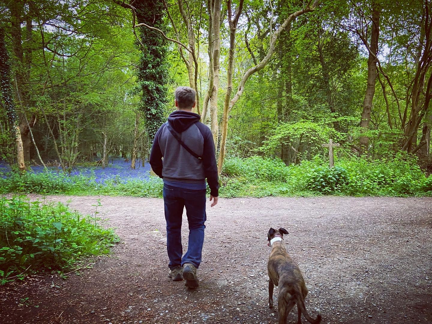
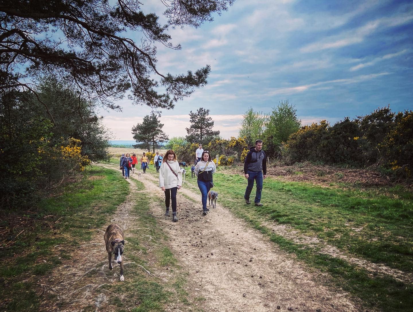
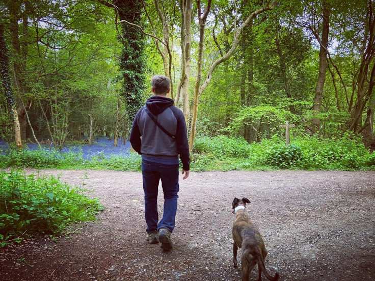
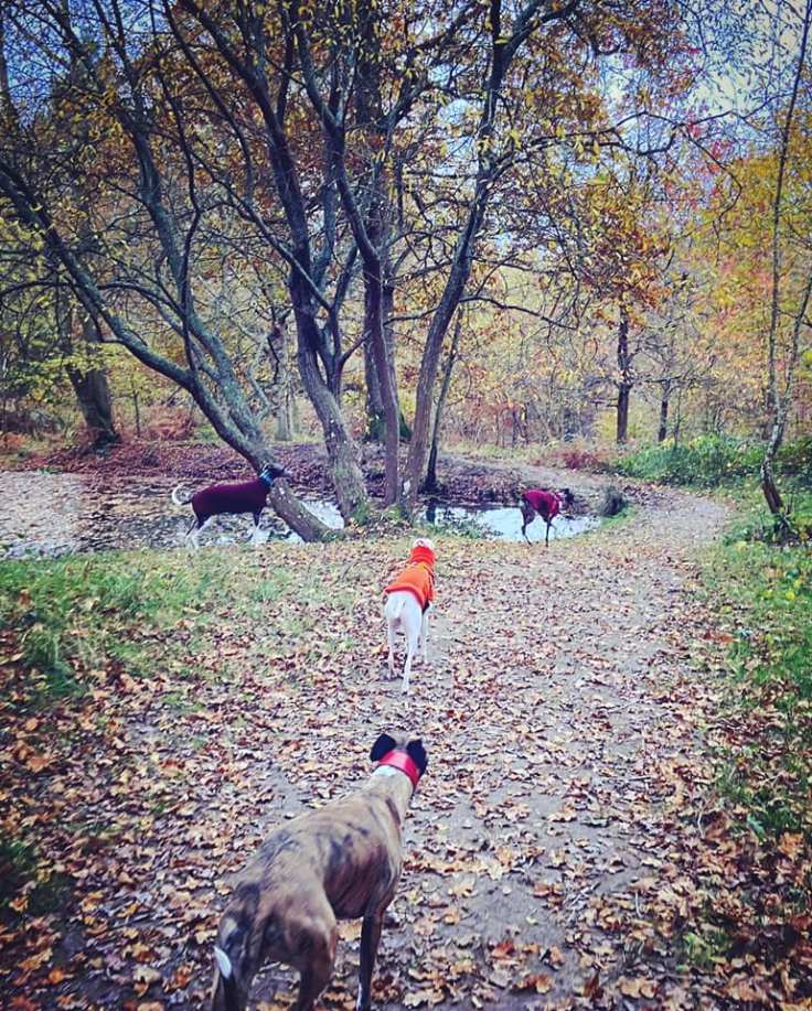
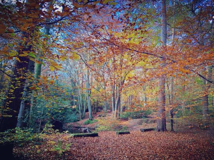
This is a really lovely place to visit pretty much all year round. In the spring, there are vast swathes of bluebells in the woods either side of the track running down to the Vachery site and pops of colour around the gorge area as the azaleas start to bloom. Moving into summer, the rhododendrons blossom in bright pinks and purples. In autumn, the tree leaves turn vibrant shades of red, gold, orange and yellow. Winter is a bit bleak but that in itself adds a sense of dilapidated charm to this ‘forgotten’ place of peace, quiet and sanctuary.
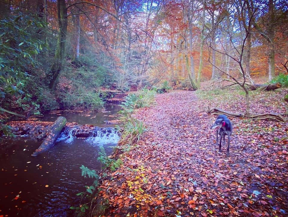
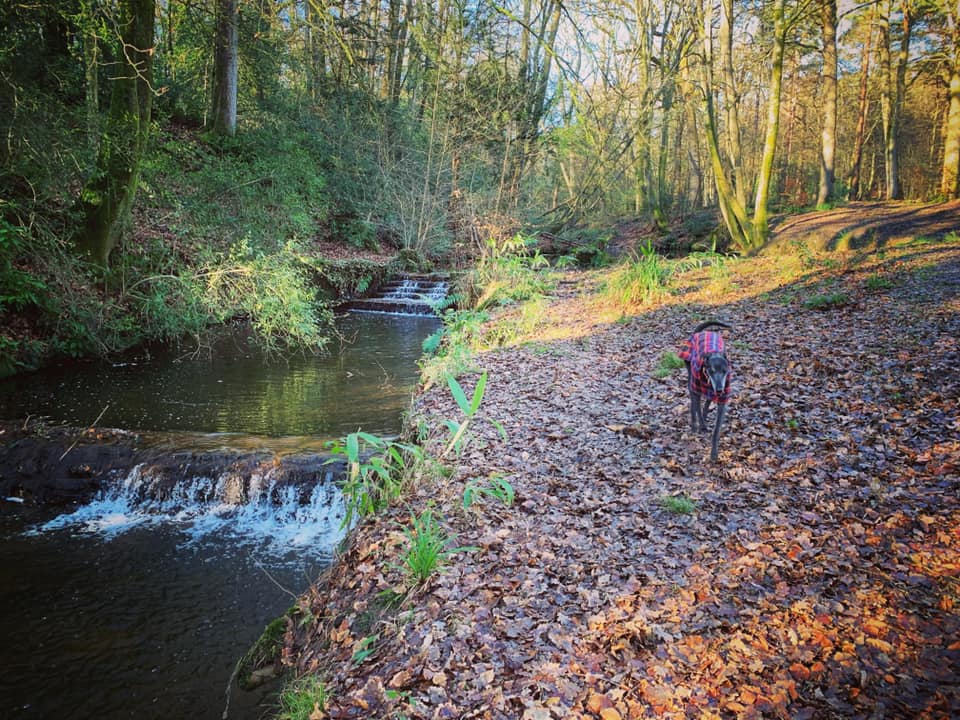
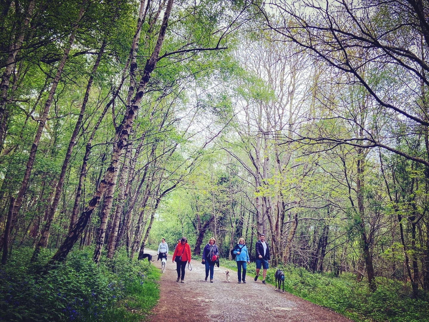
Gallery: What’s it like here?


Instagram reels showing here
Parking
Park at the Long U car park on the A22. If you’re approaching from the north, it is on the right-hand side just after the Llama Park (on the left). Parking charges, sadly, were introduced in late 2022 – see the Ashdown Forest website for details.
| Duration | Fees |
| Up to 1 hour | £2.00 |
| Up to 2 hours | £2.50 |
| Up to 4 hours | £4.00 |
| All day | £5.00 |
| Annual pass | £80.00 |
GOOGLEMAPS LINK: https://goo.gl/maps/GdyRtD7iyZo1r9sNA
WHAT3WORDS: pigs.nest.tradition
NEAREST POSTCODE: RH18 5JN
Poo bins?
No poo bins, please take your waste home for disposal.
Self-guided walk
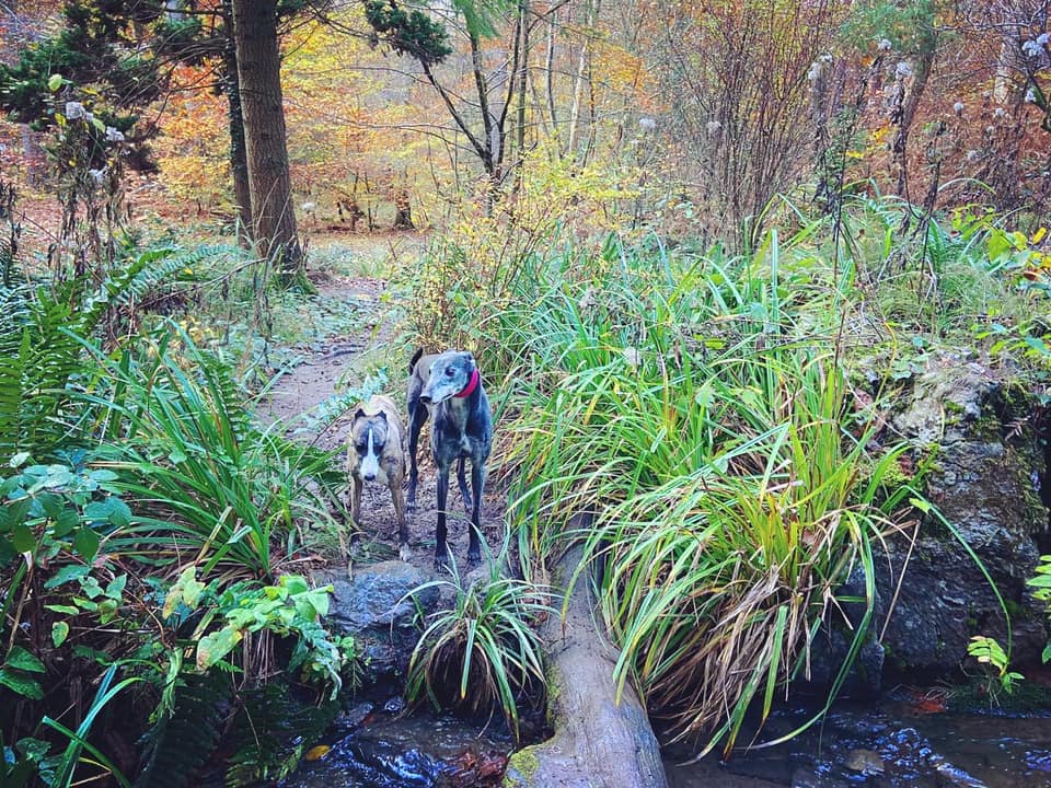
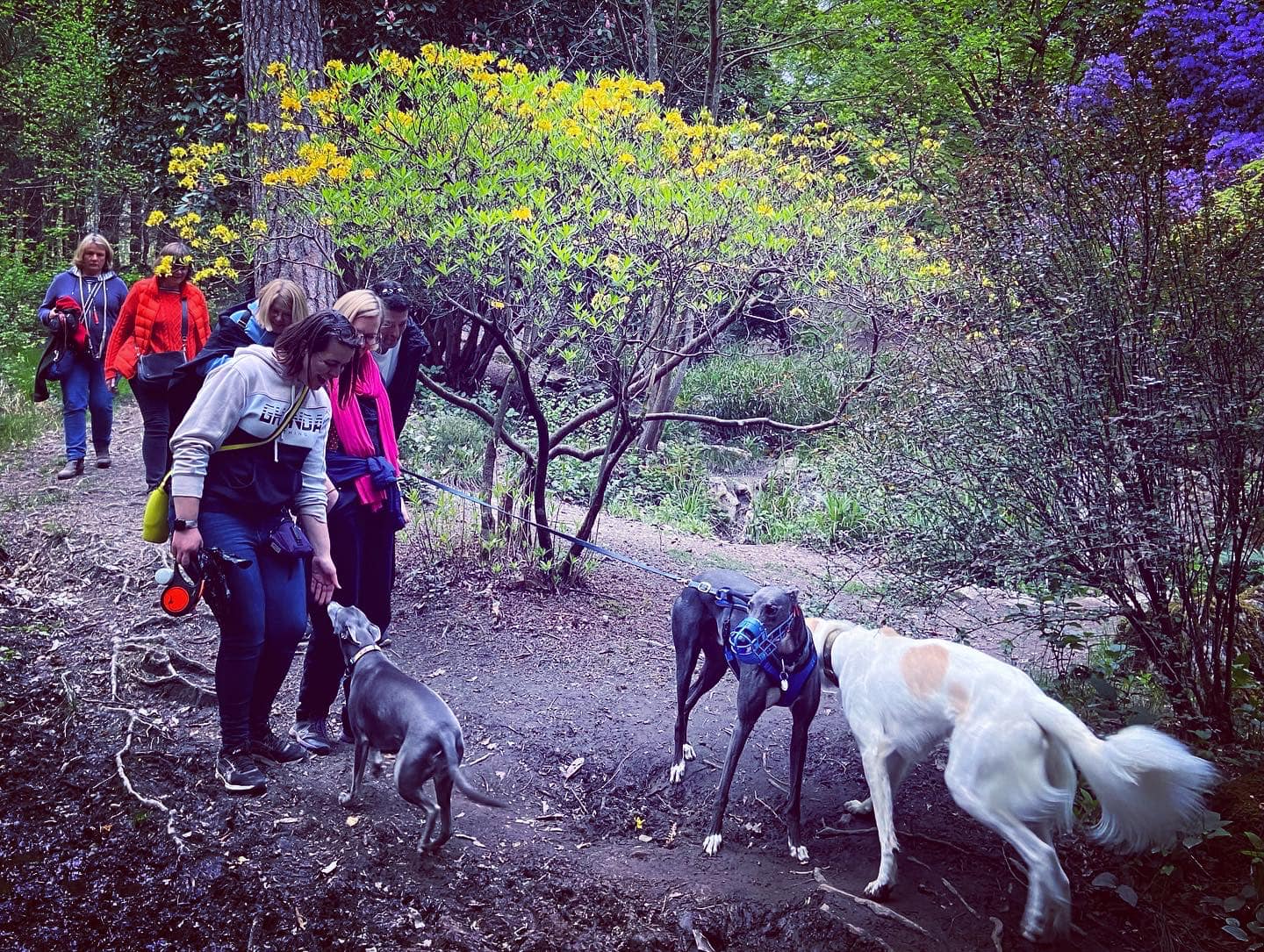
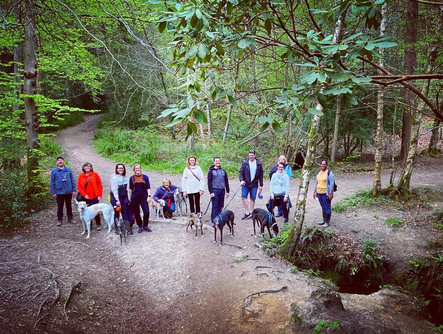
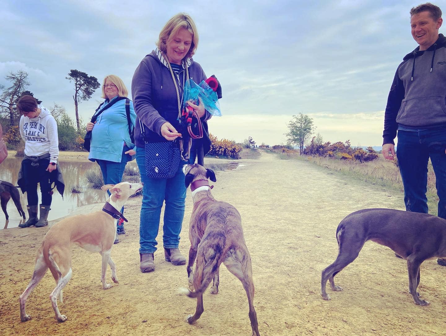
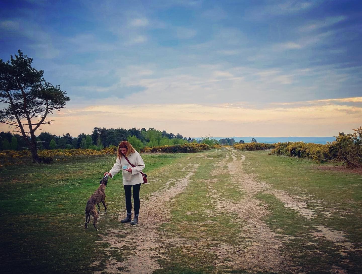
Here is a Footpath app route for Chelwood Vachery. Also on my AllTrails. My walk is similar to this one produced by the Conservators and Friends of Ashdown Forest. I was first introduced to it by the West Sussex Greyhound Walking Group. It’s a lovely walk, which includes the lakes, Folly Bridge and stepping stones, but (in my humble opinion), it misses out the very best bits of the Forest Garden – the little stream traversing down the hillside with its gorge, waterfalls and rock pools – so my route goes via those. This walk features quite varied landscapes – you’ll experience lowland heath, woods, and ponds and streams. You’ll also walk part way along a former WWII airstrip.
Length: approximately 2.7 miles/4.4km
Terrain: Undulating walk through a range of landscapes from heath to woods. With plenty of ponds, lakes and streams, it can be a wet walk, and during colder times of year the paths can be muddy so wear suitable wellies/waterproof boots .
Stiles/kissing gates? No stiles, no kissing gates
Park in the Long U car park and walk onto the heath. With the road behind you, turn left and walk alongside the car park. When you reach the end of the car park, ignore the footpath that comes off to the right and continue straight ahead on the wide path, which runs parallel with the A22. Take the next footpath on the right and just after (with a big clump of trees in front of you), bear round to the left on the left-hand fork.

Follow this path down the slope until you come to a path off to the left next to a pond. Take this path, heading uphill, round to the right and then straightening out as you reach the brow of the hill.
Cross over the access driveway/track and continue straight ahead for a very short distance on the grass. At the next tarmac lane, turn right and follow the lane down through trees and round to the right. In the late springtime, you’ll be treated to bluebells in the woods either side.
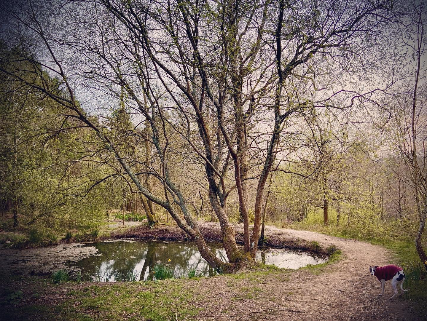
When you get to the houses, there’ll be a path heading off to the left further downslope. Ignore this and continue straight, passing the houses and then following the path down the left-hand side of Chelwood Vachery, with its tall brick wall on your right. After a short distance, a path will fork off to the left while the main route you are on will continue downhill. Take this left-hand path and you will see a pond ahead. The path goes around the right-hand side of the pond, which is the source of the valley’s little stream.
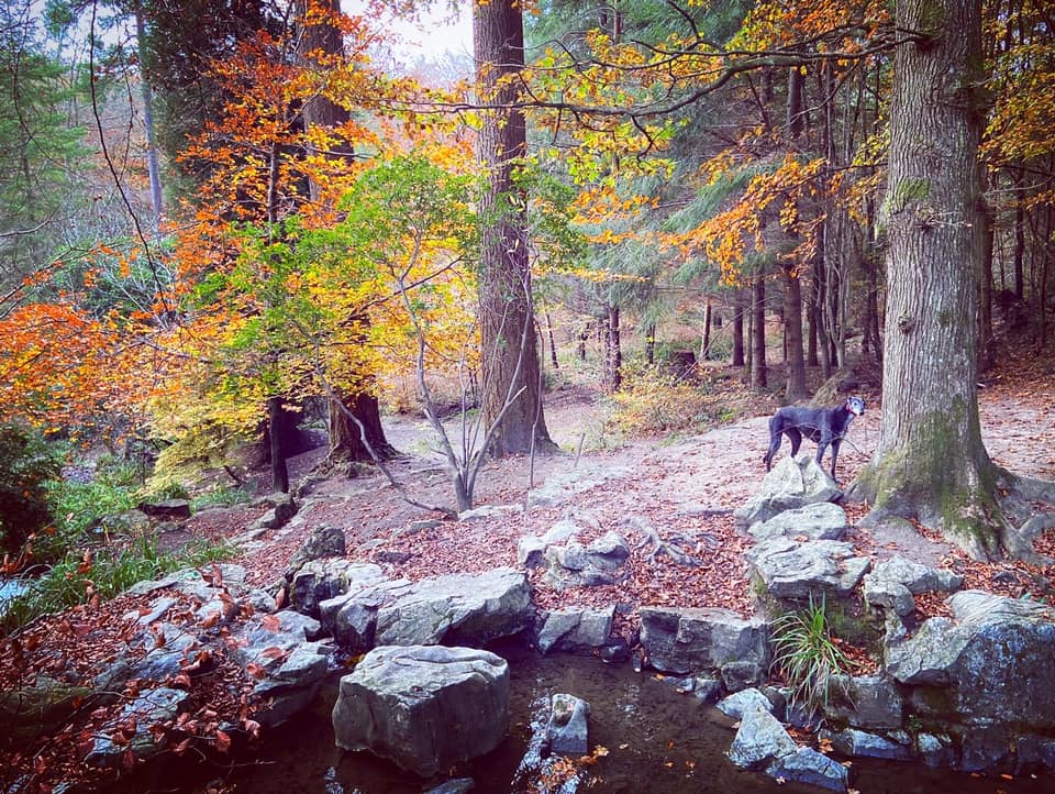
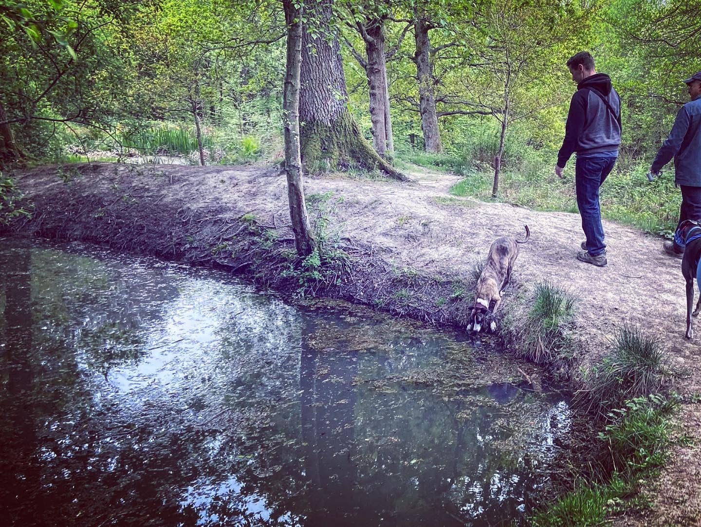
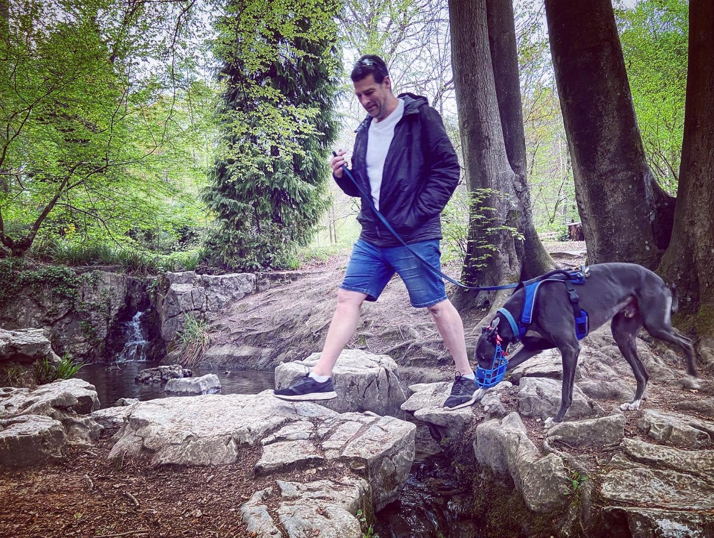
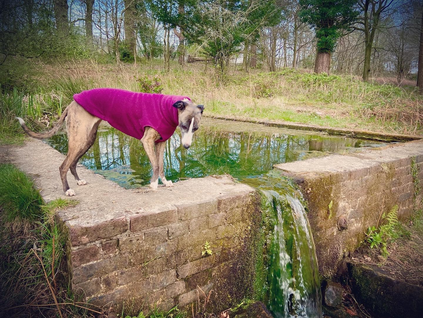
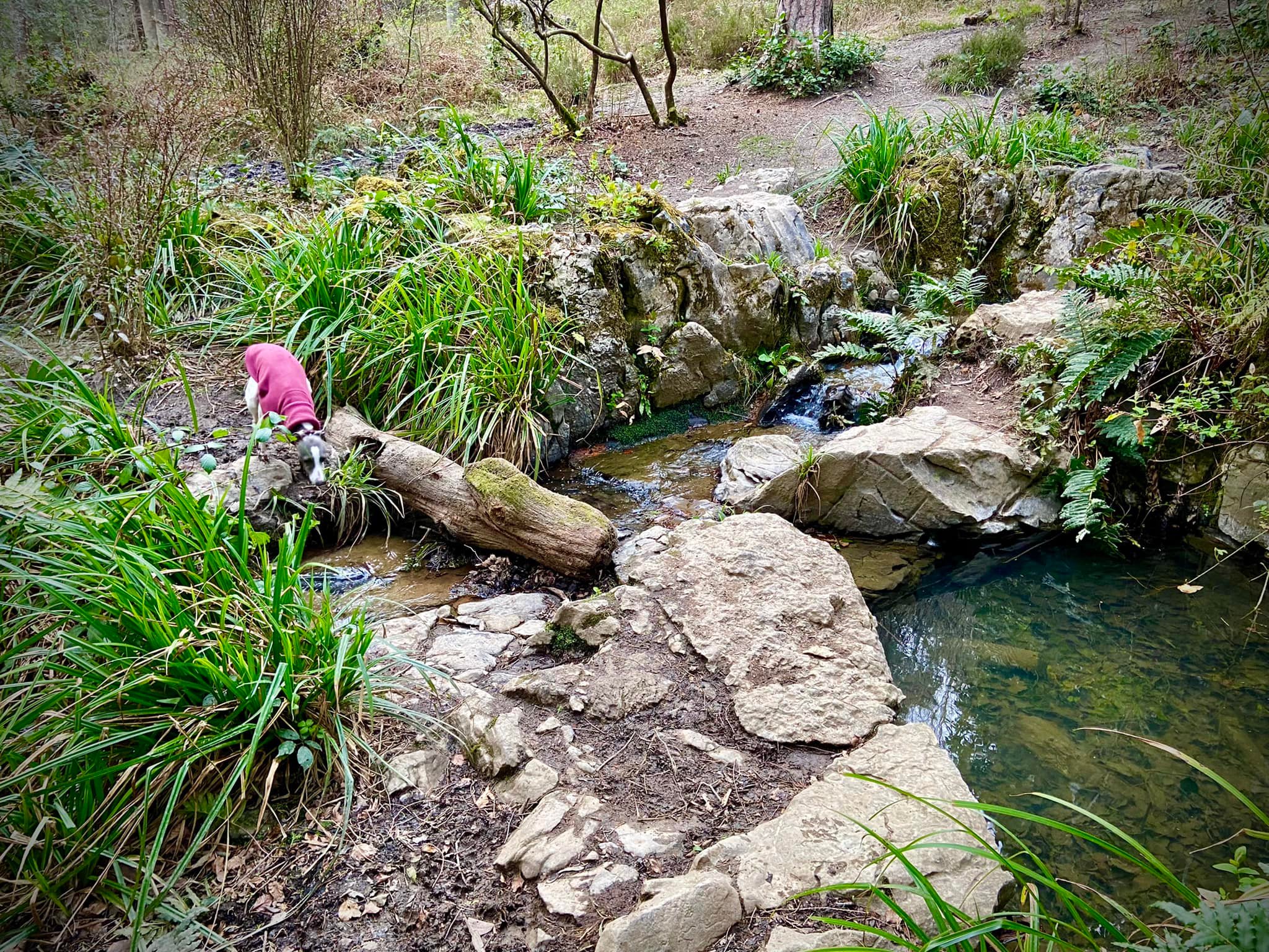
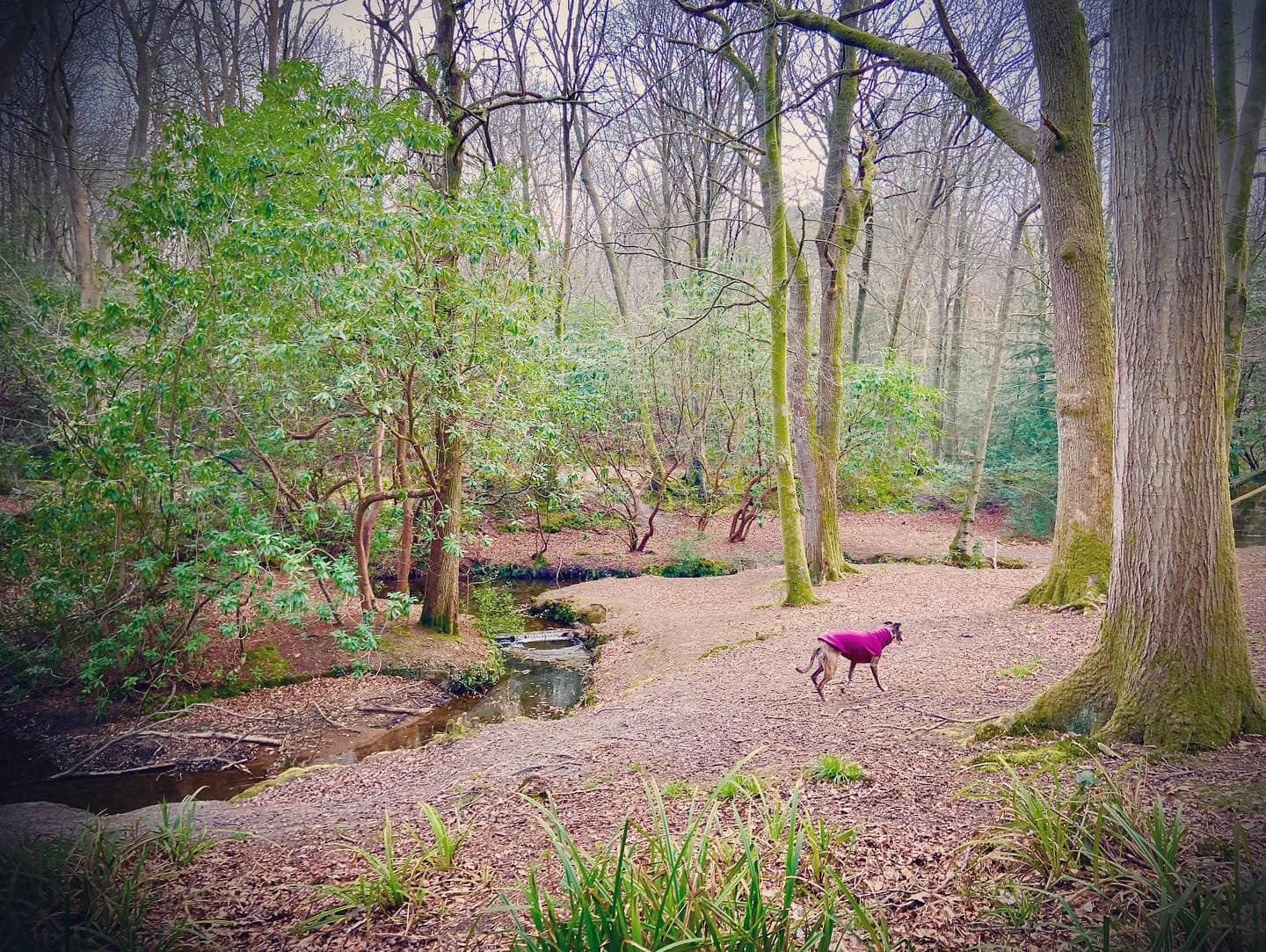
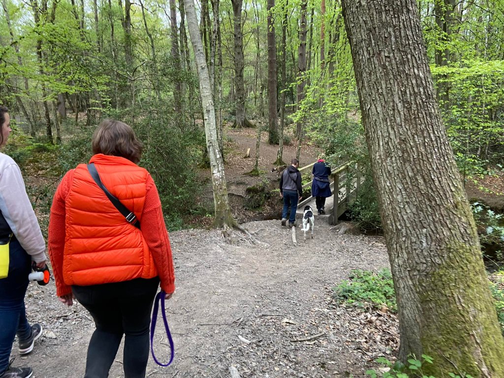
Follow the path round and then down hill. Its route is largely straight, give or take a few wiggles, and skirts the stream on the left. You’ll pass some pools and little waterfalls. As you head down, you’ll come to a more impressive waterfall (but still quite small so manage your expectations) that drops into a pool surrounded by large boulders. These are the rocks from Cheddar Gorge.
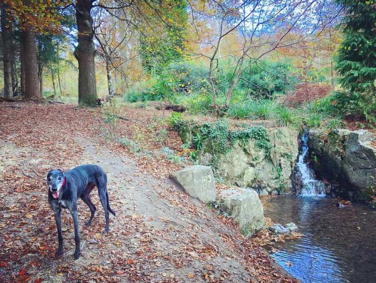
Flowing down from this pool is another slightly larger waterfall. And so the stream continues downslope around rocks and over a few more tiny waterfalls. The path runs alongside it. You may want to stop here and wander around the features, or have a sit on the well-placed bench.
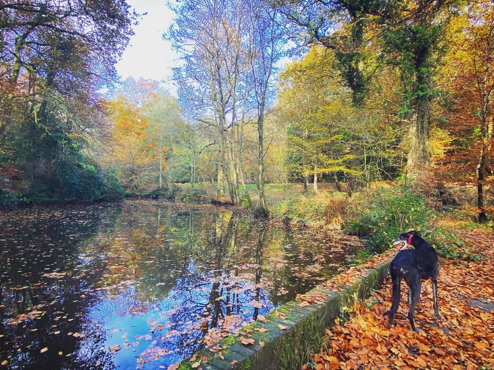
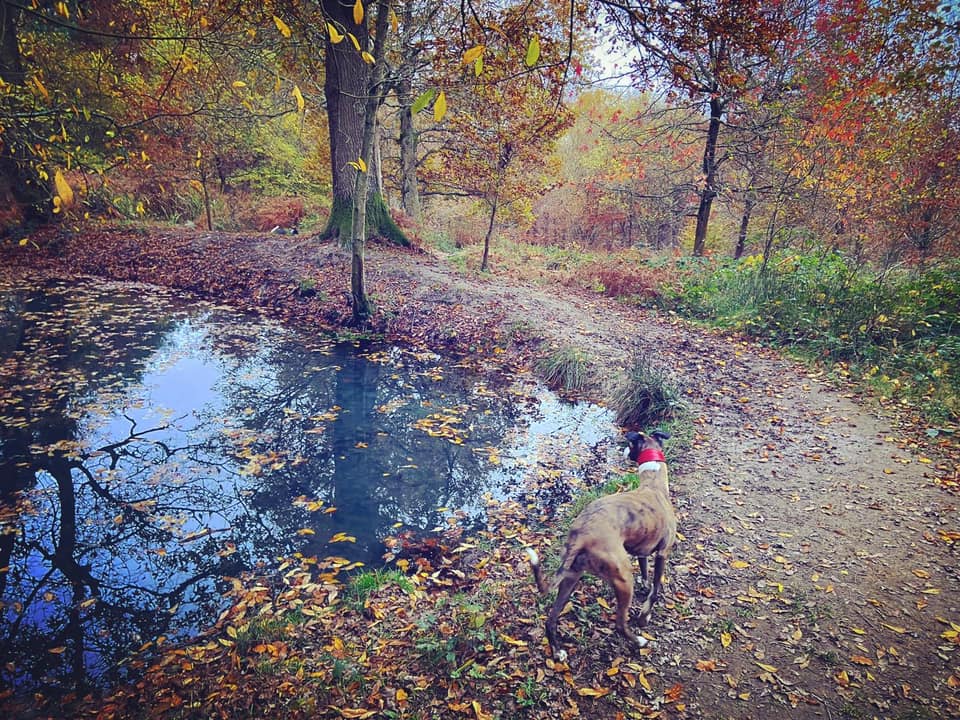
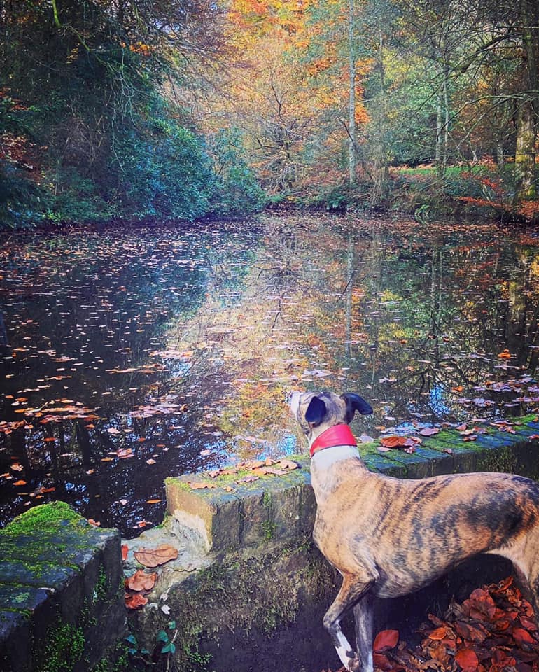
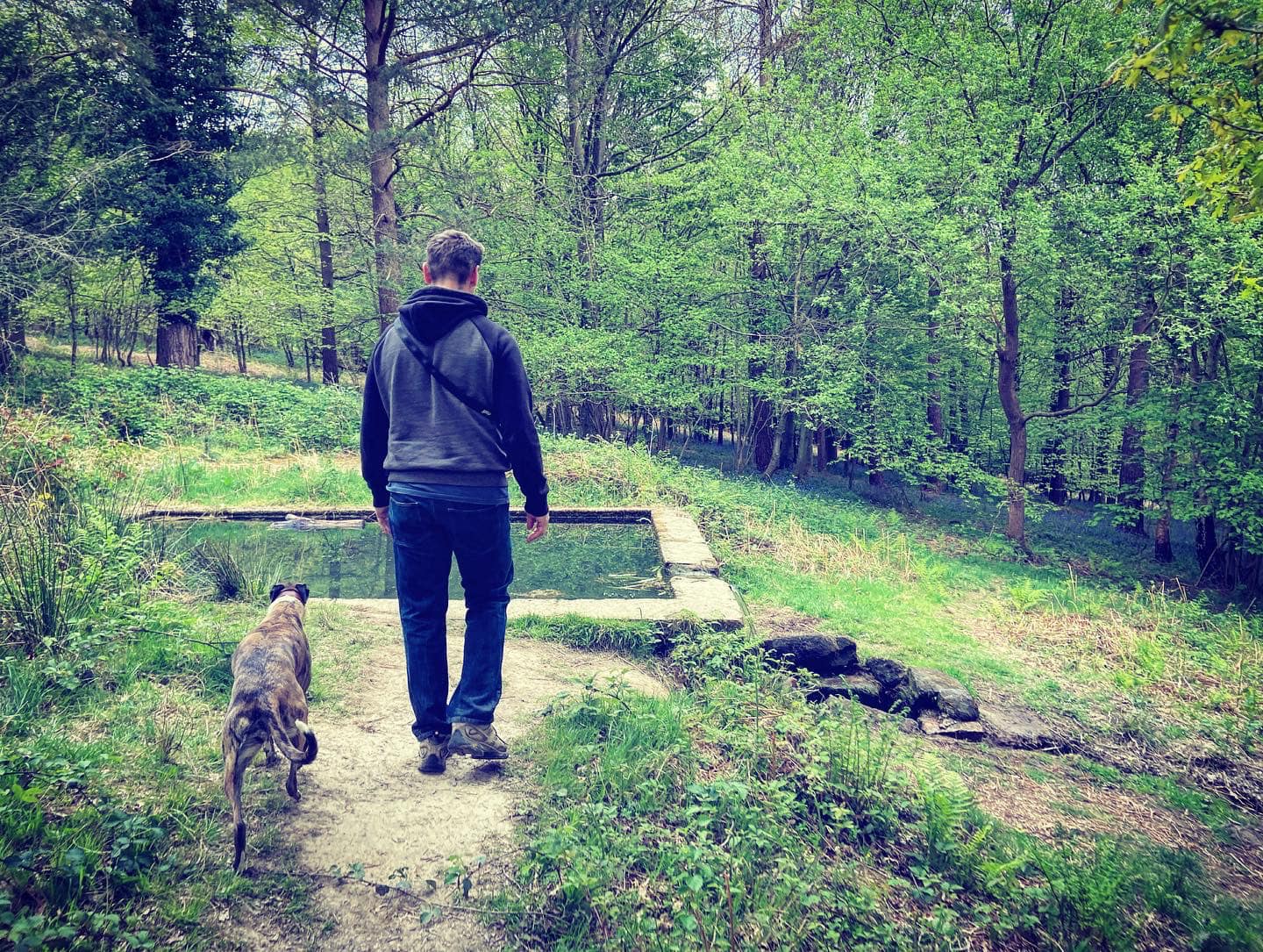
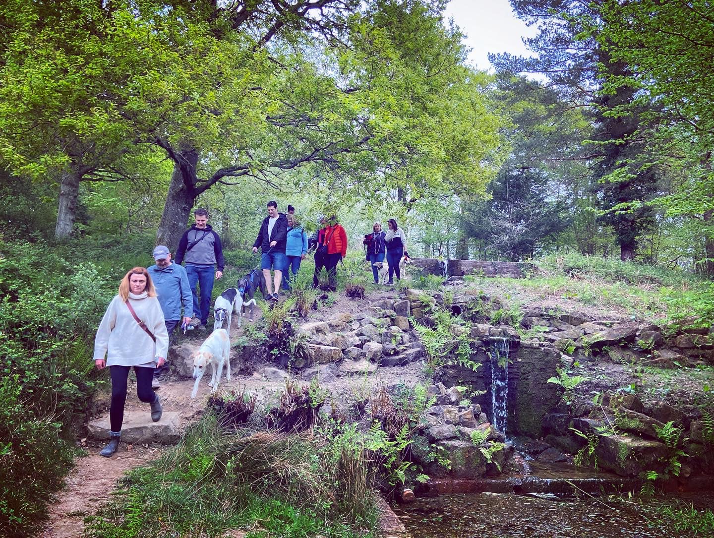
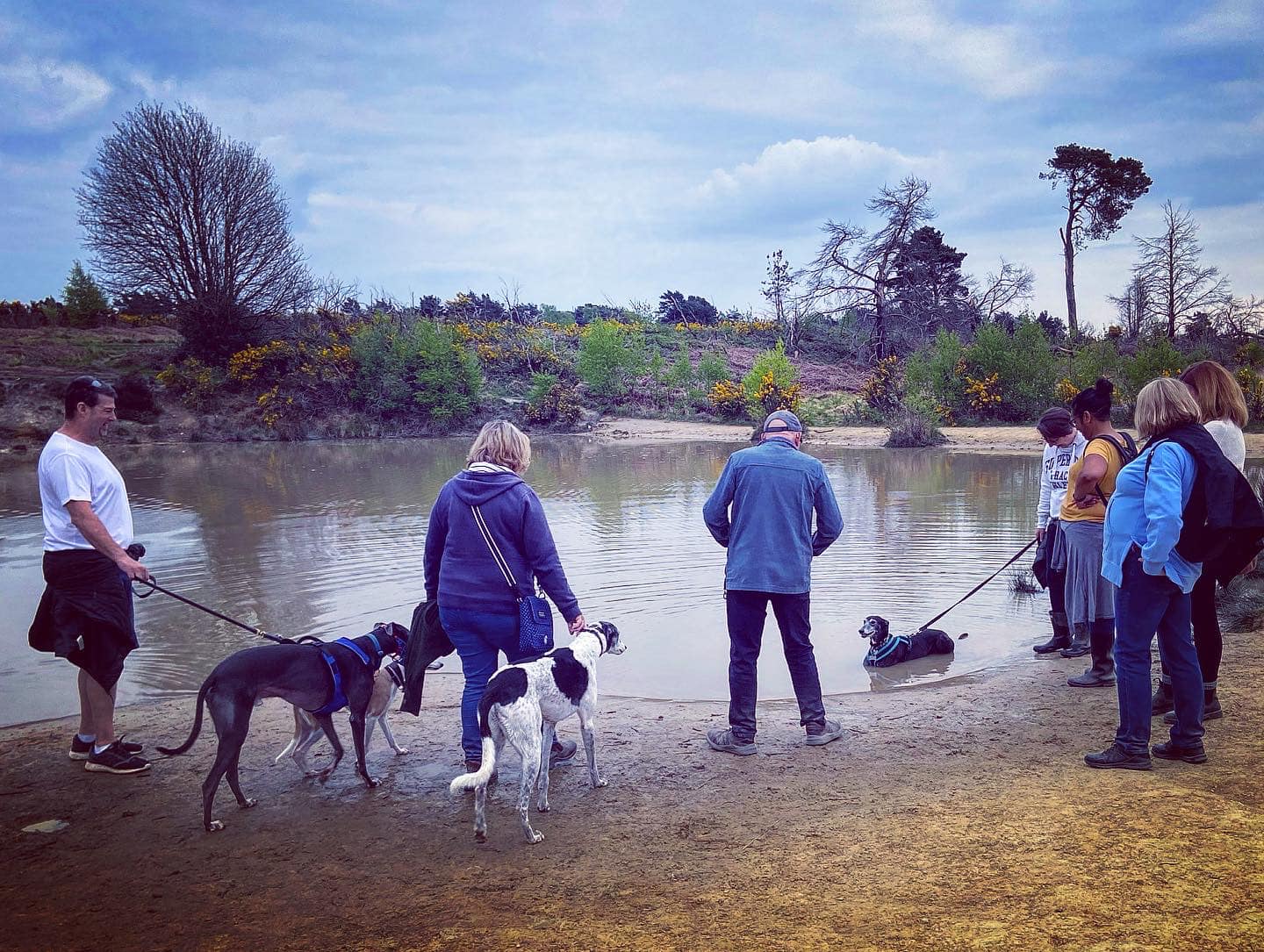
When the path reaches the bottom of the valley, it meets a path running across it. In the autumn and winter, this isn’t always very distinctive because of fallen leaves. Ahead of you are the lakes with weirs and sluices. Again, you may want to stop and explore around here.
When you’re ready to move on, turn right at the end of the path that has brought you down the side of the waterfalls. Presently on your left, there is an information board about Chelwood Vachery. Pass this and continue ahead, and then the path will curl round to the left and go through the arch of the Folly Bridge, down to the Millbrook stream.
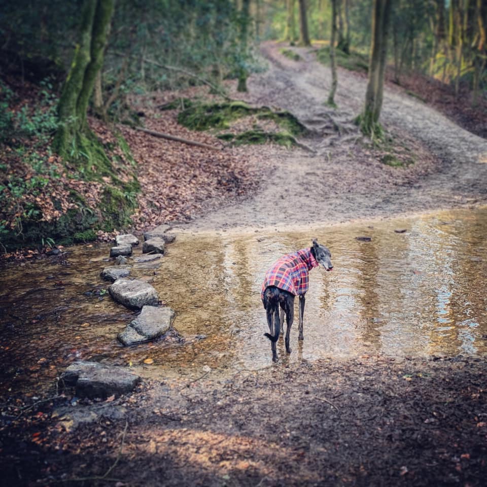
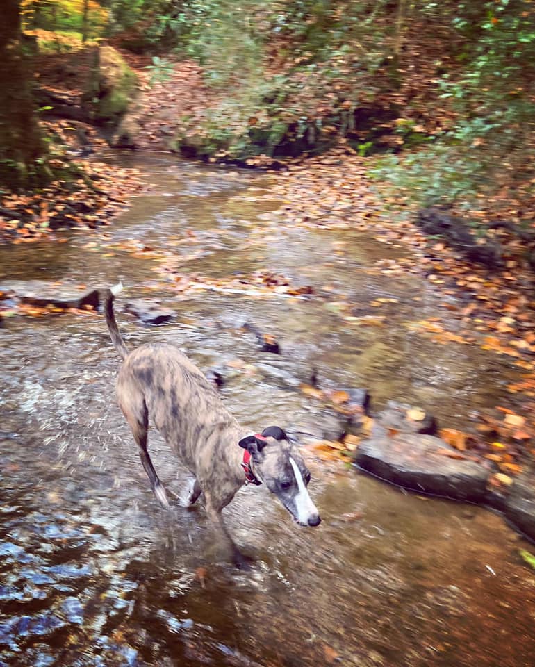
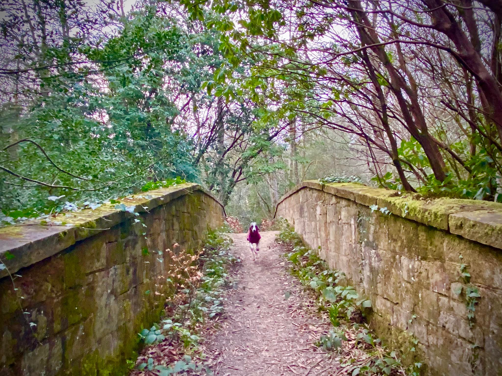
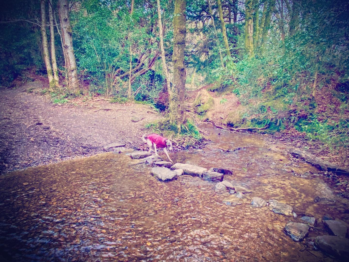
Take the stepping stones to cross the stream – or alternatively, there is a wooden bridge to the right instead. The path ahead rises quite steeply now.

When it opens out, hug the right-hand side and walk along the fence of the private property to the right. The main path continues straight, but you want to keep to the right and take the smaller route, which is lower and joins a tarmac driveway. Continue straight on the driveway, but keep your eyes peeled for a tiny path that comes off on the right and heads into the scrub and trees. This winds along – follow it down and where it bears to the right, ignore any little paths that go off to the left. It’ll bring you down to a wooden bridge upon which there is a green plaque with a quote from A.A. Milne/Winnie-the-Pooh – after all, the Ashdown Forest was the inspiration for the setting of the adventures of Christopher Robin and a certain bear of little brain.
Cross the bridge and follow the little path as it continues to wind through the scrub and trees. It’ll turn right and then there’ll be a dip and a small hump/ridge before a plank and then the path then emerges out into open heath. It’s a striking change of environment and I half expect to see lions and gazelle roaming through the tall grasses.
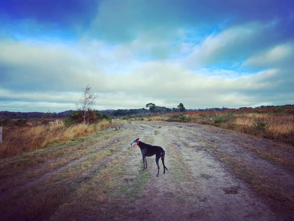
Follow the path ahead and as it curves to the left, ignoring the fork off to the right/ahead. At the junction under the trees, turn right and head up the main path. It’s a bit of a slope, sorry about that. This path is wide and straight and is known as the Old Airstrip. It runs for three-quarters of a mile and was built in the early 1940s by the Canadian army as an emergency landing ground for British and allied aircraft that were damaged or needed to refuel during World War II.
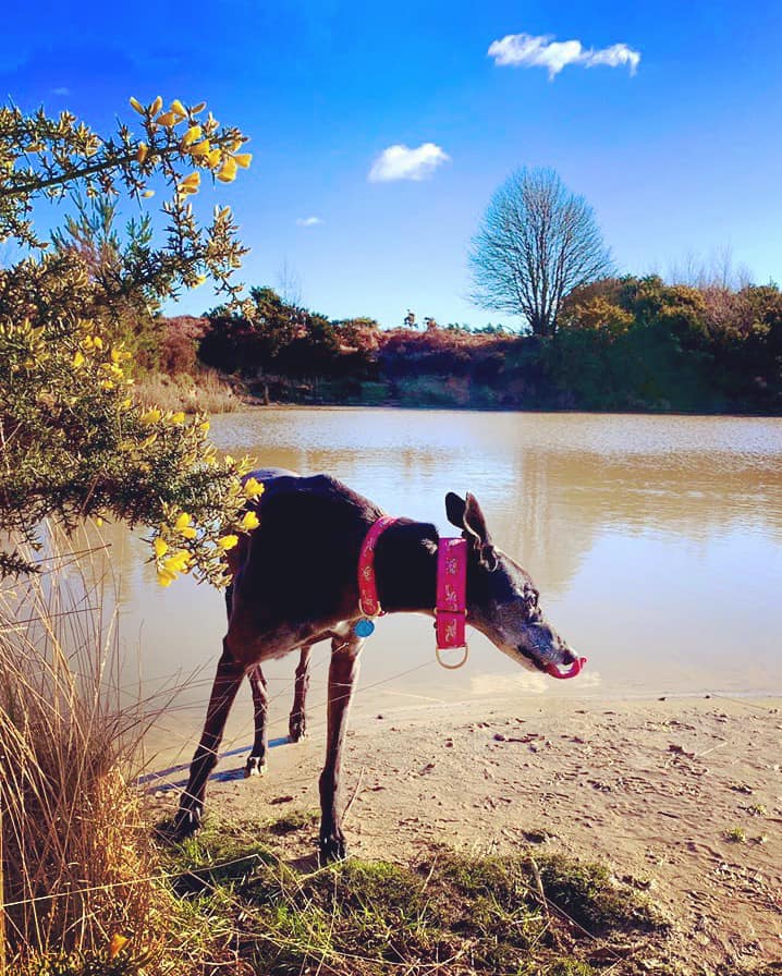
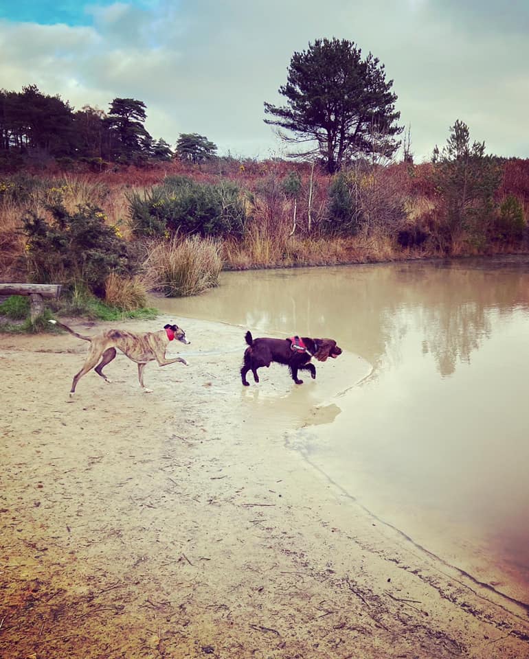
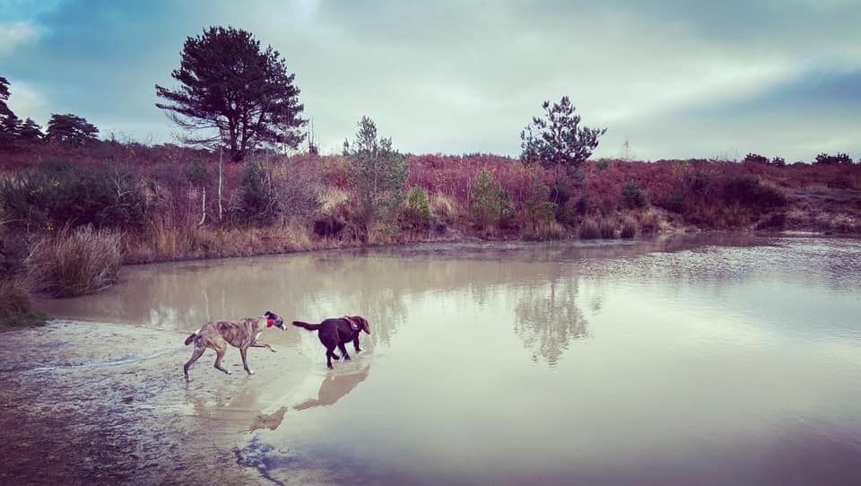
After a bit of a way, a path will head off to the right and, shortly after that, another leads off to the left. Take this left-hand path. It will bend round to the right and continue straight, running parallel with the airstrip. (You can stay on the airstrip if you prefer as our route brings us to it again in a bit, but I think this little detour is a bit more interesting than a long straight). You’ll pass a pond on the right, which is the final water feature for dogs that like a splash about.

A little way after the pond, you’ll come to a junction of paths. Turn right here and follow the path to re-join the Old Airstrip, where you turn left and walk the short distance back to the car park.

