Page contents
About
Gallery
Parking
Poo bins?
Self-guided walk
PLEASE NOTE – There are major ‘improvement’ works at the M25/A3 junction until the end of time (well, 2025) and, sadly, they are causing massive disruption both to the landscape and to the woodlands on all four adjoining woodland areas (Silvermere, Wisley Common, Wisley Airfield and Boldermere, Ockham Common, and the privately-owned Painshill Park.) Because of this, I can’t be confident that the routes I have written out for these locations aren’t affected so I would NOT trust the descriptions on this page for the time being – and I have no intention of going to any of these places to check while the roadworks mean the traffic around them is a bloody nightmare. So, if you decide to visit these locations using this website for guidance around them, proceed with caution.
About
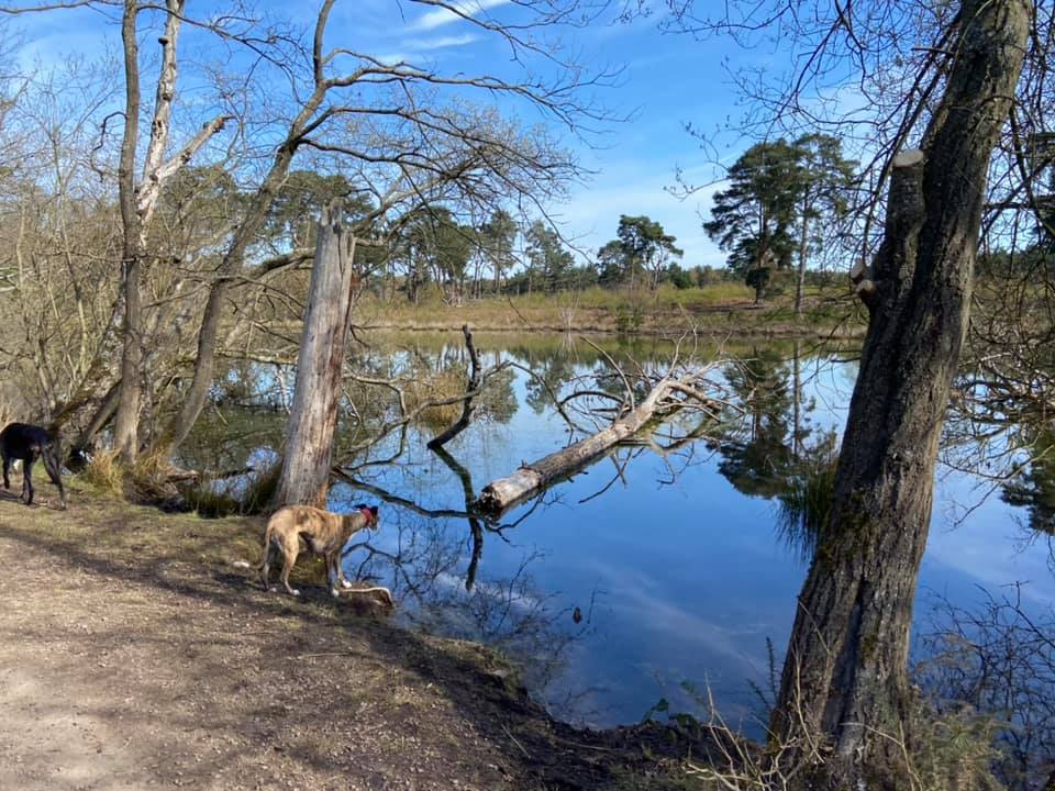
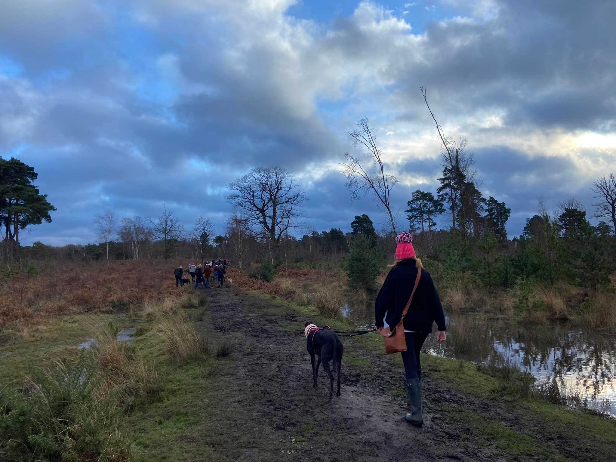
Wisley Common is managed by the Surrey Wildlife Trust (SWT). Along with Ockham common/Chatley Heath on the other side of the A3, it is a nationally important site for dragonflies and damselflies, with twenty species recorded. It also attracts many rare birds, including the hobby, which is one of the few creatures that can actually catch dragonflies. In the summer, the heath is awash with purple heather.
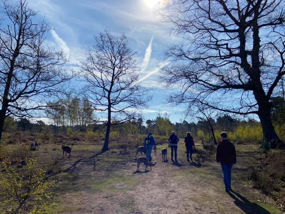
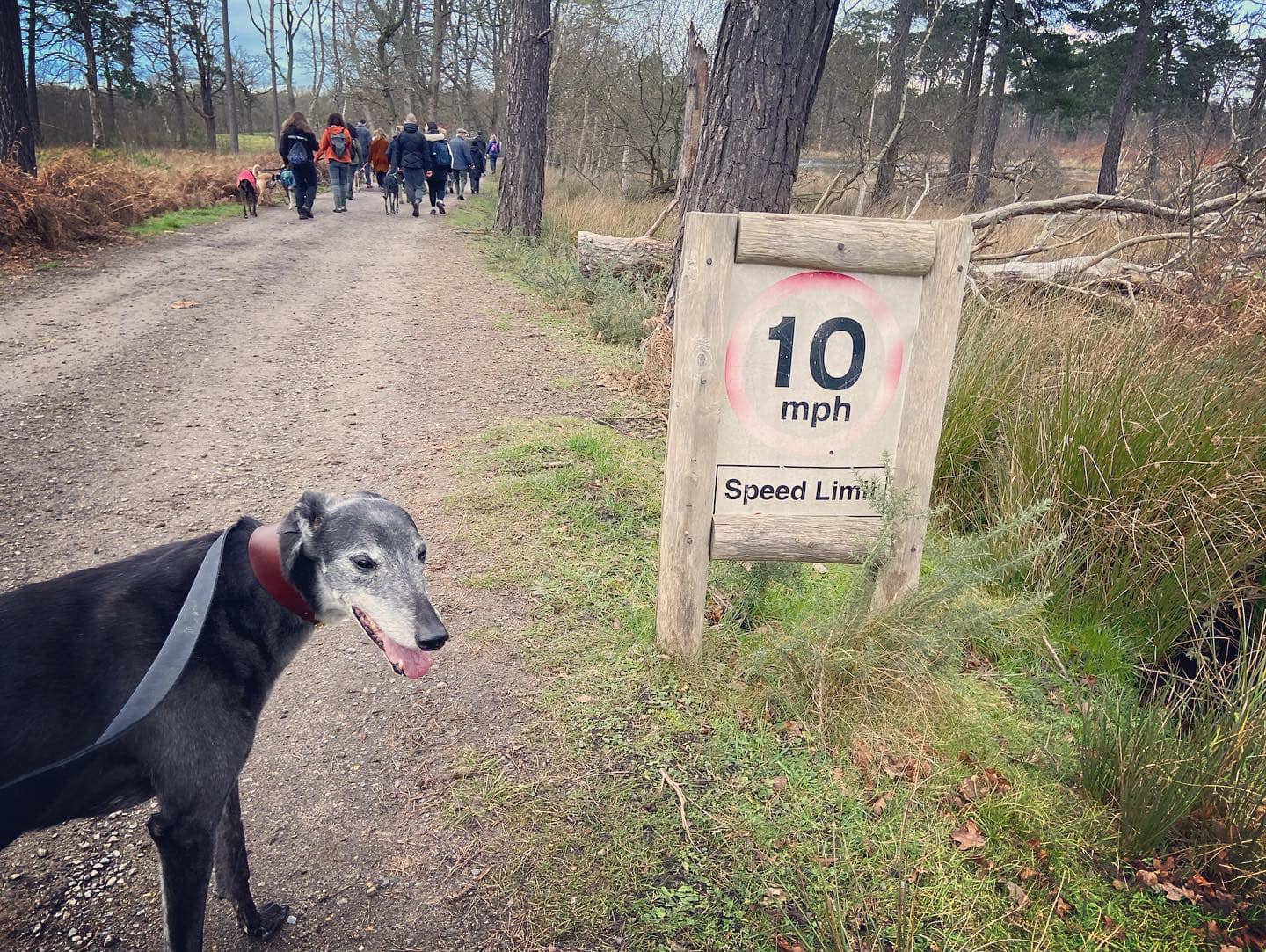
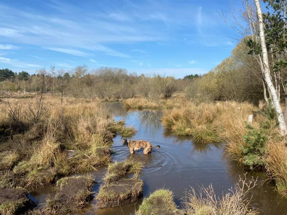
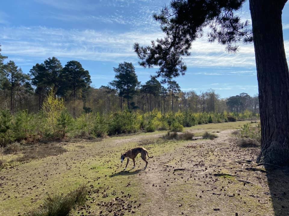
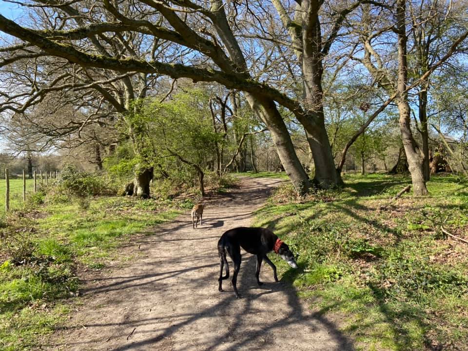
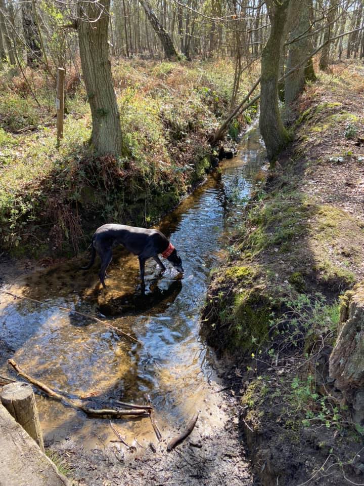
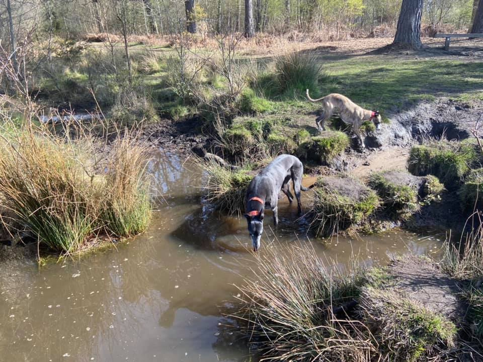
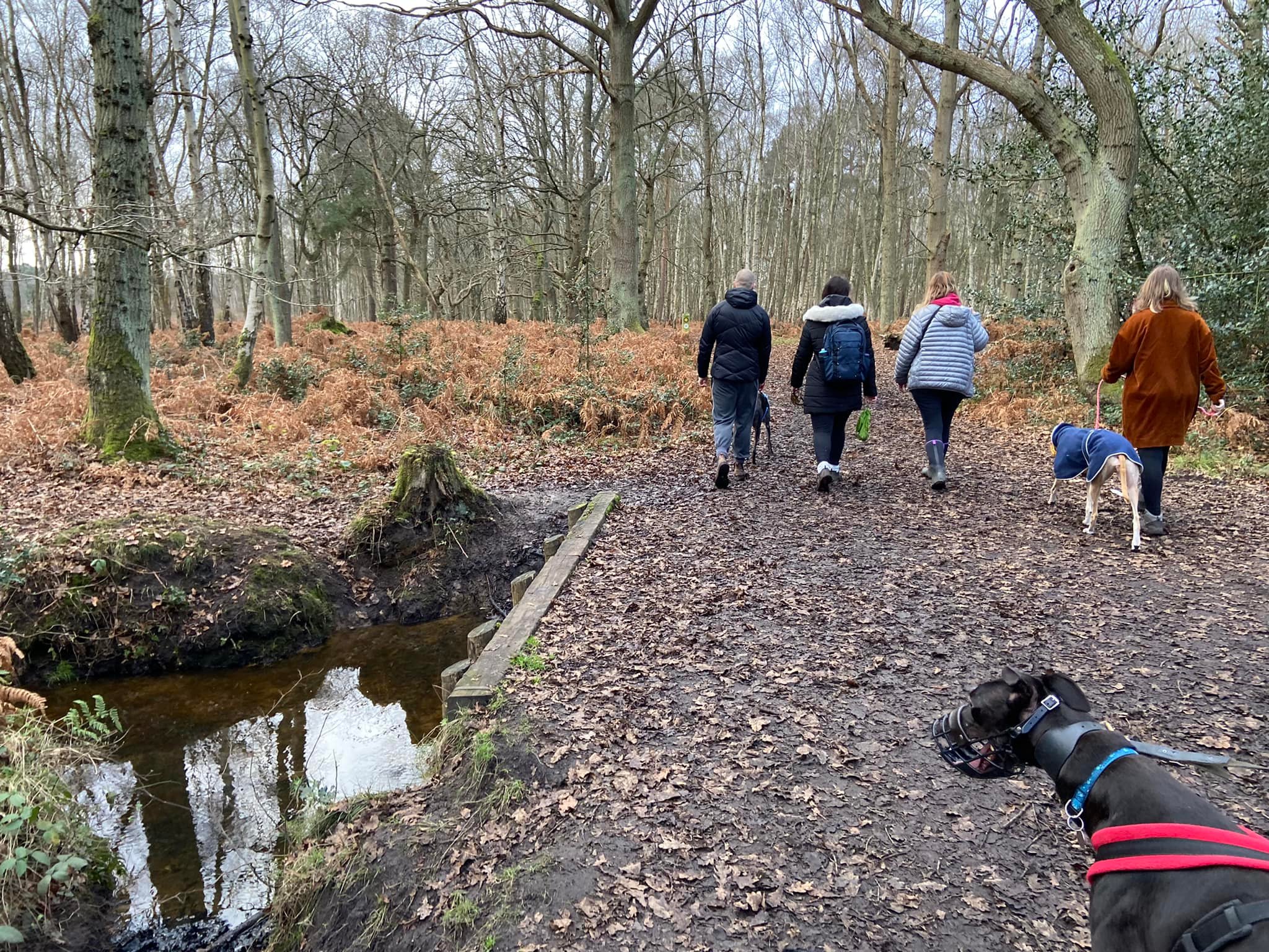
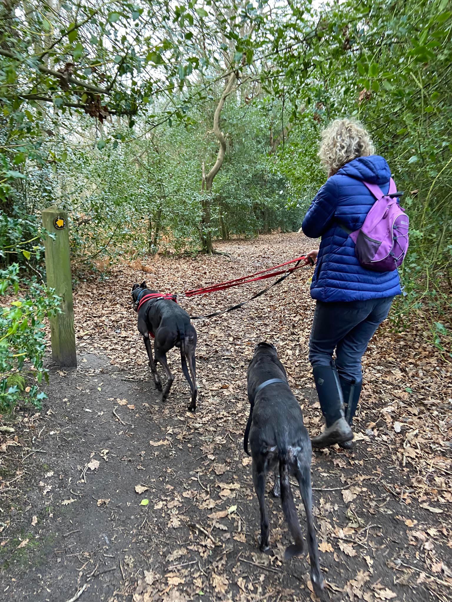
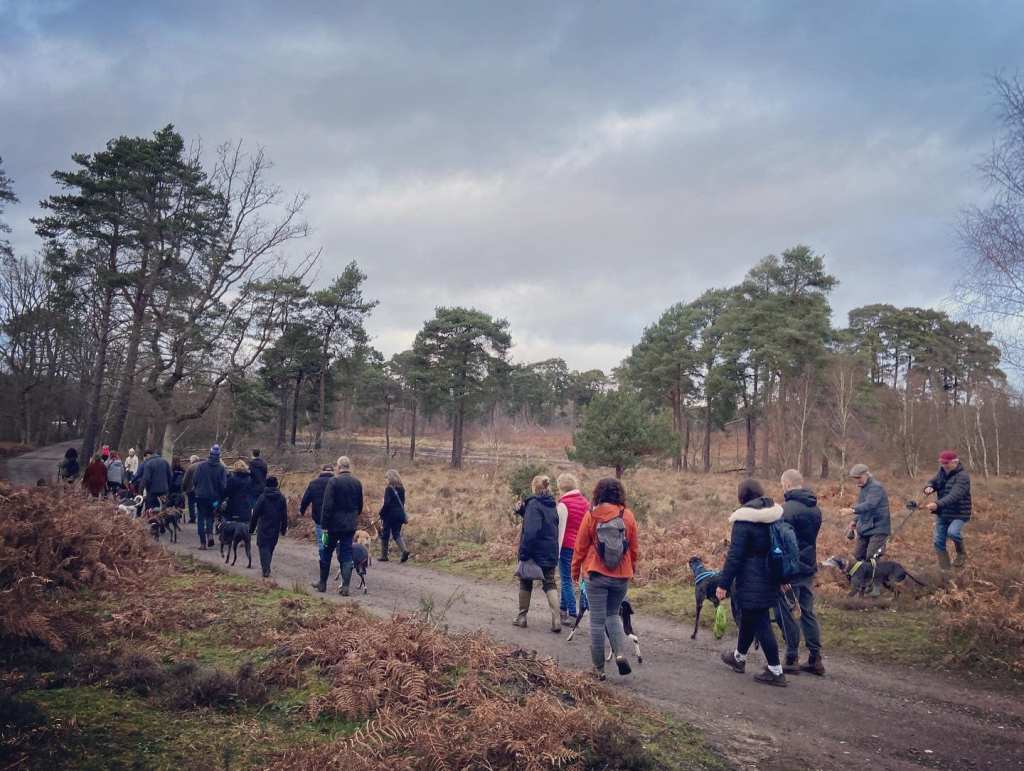
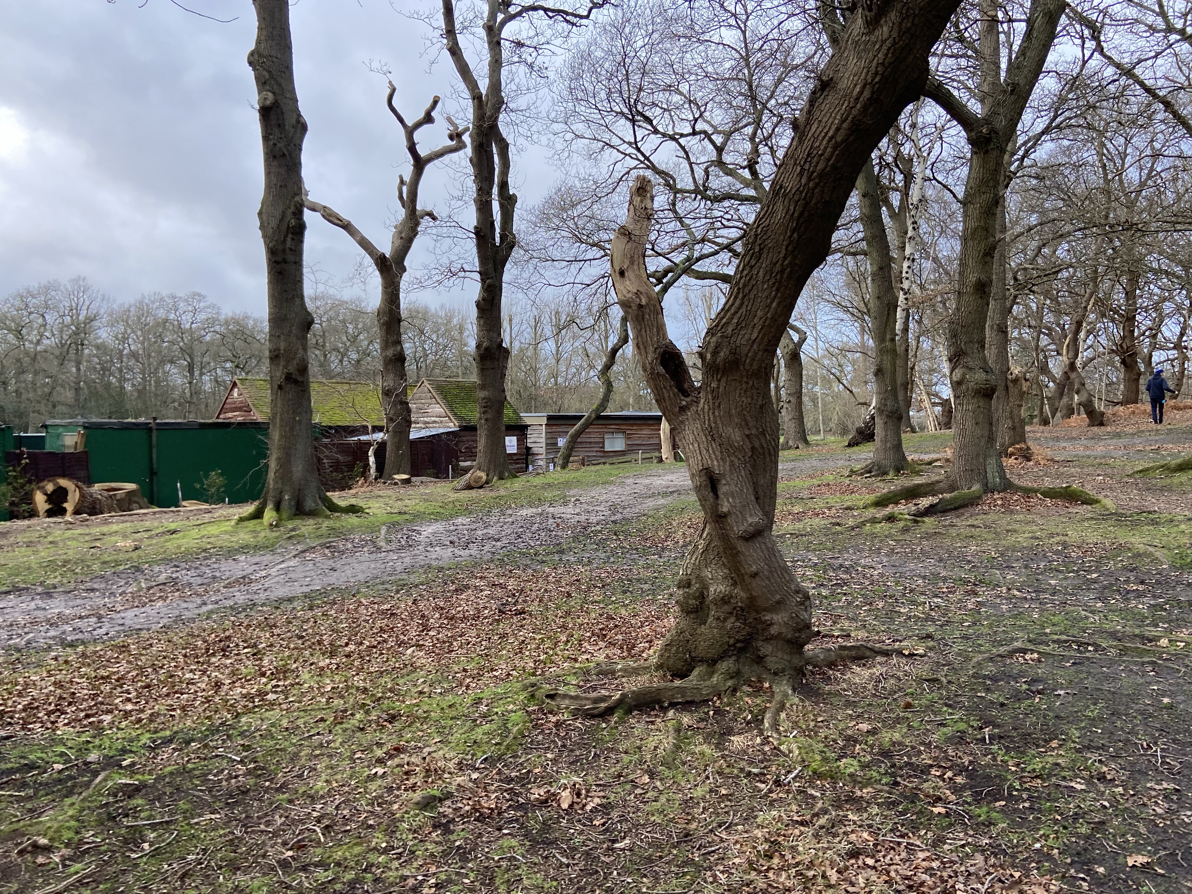
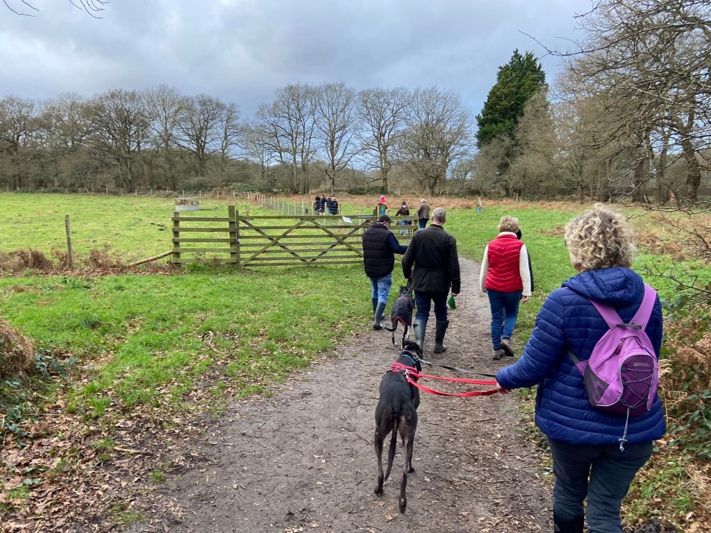
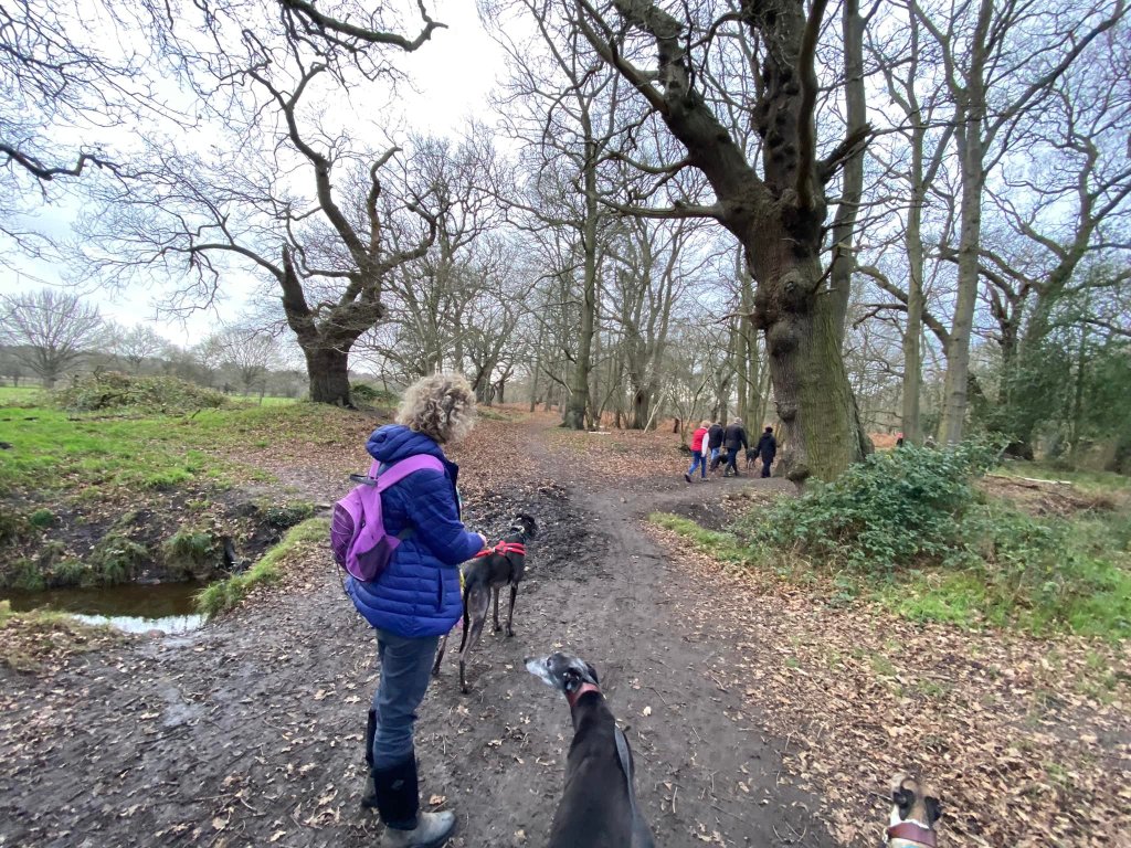
Gallery: What’s it like here?


Parking
Wisley common has a small free public car park on Wisley Lane. Some people call it Wren’s Nest car park. If you’re coming from the A3, you’ll pass RHS Wisley on your left and the common car park is around the next turn on the right.
GOOGLEMAPS LINK: https://goo.gl/maps/BEEz7A5RdTCdZsk37
WHAT3WORDS: holds.lung.cared
NEAREST POSTCODE: GU23 6QD
If the common’s car park is full, park in RHS Wisley garden’s Car Park 3; it is also free. Drive into the main RHS Wisley entrance (near the A3) and head all the way to the end of Car Park 3. There’s a path from the farthest end of the car park that is sign posted to car parks 4 and 5 (overflow car parks). This path goes through some trees then along the lane and directly past the common car park.
Poo bins?
At the car park.
Self-guided walk
Here is a Footpath app route for Wisley common. It’s also on AllTrails. This route includes the path to/from RHS Wisley (if the common car park is full). It takes you in a large loop passing the lake and Surrey Wildlife Trust HQ. You can hear (and see!) the A3 and M25 at points along the route. There are also sometimes cattle in the field by the motorway just after the scout camp.
Length: approximately 2.2 miles/3.5km
Terrain: Mainly flat across heathland and woodland. It can get muddy/boggy/waterlogged underfoot in autumn/winter so wellies/waterproof boots are a good idea.
Stiles/kissing gates? No stiles, no kissing gates

[I’m assuming that if you parked at RHS Wisley, you’ve followed the path from the far end of Car Park 3 to get to the Wisley common public car park.]
With the road behind you, go through the gate at the back of Wisley common car park. Turn right and follow the wide path ahead. You’ll go through trees and it’ll open out to scrub/heath. This path can get muddy and waterlogged at cooler times of year. IAt any forks, bear to the left on the main path. It’ll go up a gentle slope with a steeper incline rising up to a hilltop on your right that the path snakes around.
You’ll come to a junction with another path – it’s a kind of triangular intersection. Turn left here along the dirt vehicle track.

You’ll pass a 10mph speed limit sign on your right and then a large lake. A little further on, Surrey Wildlife Trust’s Pond Farm will be on your left. Keep on ahead through trees, passing Birchmere Scout camp site on the left.


You’ll see the M25 ahead and the path with bear round to the left and down towards so fields. The path will skirt the right hand side of the fence edging the field, in which there are usually pig sties although I have never seen pigs in there. Sometimes there are cattle in these fields so take care.
The path will re-enter woods. You’ll go over a reinforced crossing point over a stream/ditch and there’s a big old tree on the righthand side with knobbly bits on the trunk. Turn right here and walk along the stream/ditch.
You’ll go over another reinforced stream/ditch crossing point. Keep on until you come to a cross paths with a marker post with yellow arrows on. Turn left here. This path will take you through more woodland and you’ll pass a few more marker posts with yellow arrows. Eventually it’ll bring you to a gate at the side of the common car park.
[If you parked at RHS Wisley, re-trace your steps back along the lane to the car park]
