Page contents
About
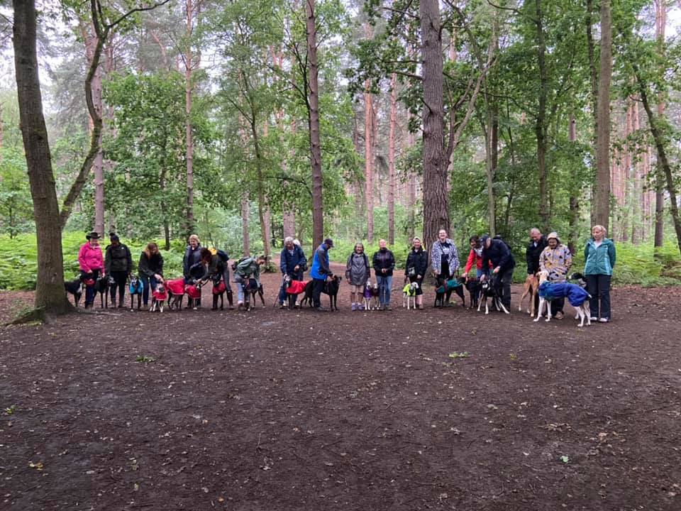
Gallery
Instagram reel showing here
Parking
Poo bins?
Self-guided walks
About
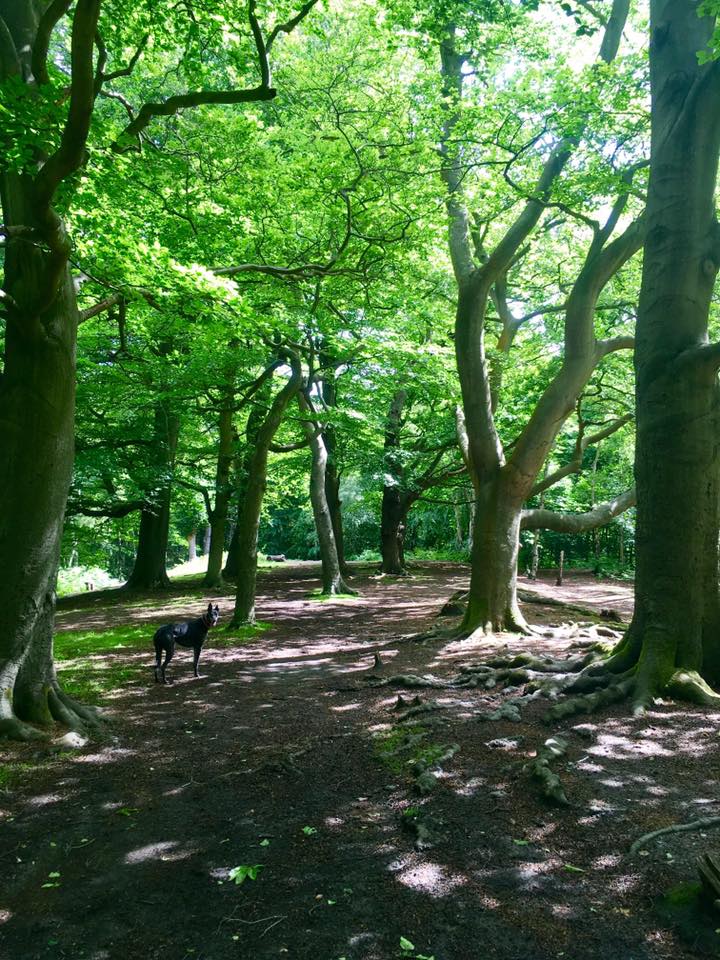
Esher Common dates back at least 6,000 years to the early Bronze Age Neolithic period, with evidence of a settlement on Round Hill – the hill that rises up from Copsem Lane car park. The common comprises a mixture of heath and woods – mainly coniferous forest but some areas of deciduous woodland too. Most of the common, which is a biological Site of Special Scientific Interest (SSSI), is looked after by Elmbridge Council but some is managed by the Woodland Trust.
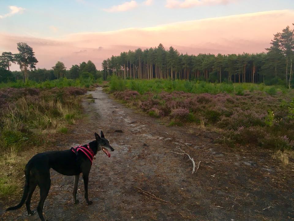
For centuries, Esher Common was predominantly open heathland, maintained by local commoners grazing their animals (mainly sheep) and occasionally burning the heath. By the 19th century, trees (largely scots pine) were introduced for timber. These trees grew well on the poor soil and woodland quickly spread to cover much of the common.
During WWI, many of the pines were chopped down to be used for pit props (wooden beams used to hold up the roof of tunnels/bunkers/trenches), allowing large parts of open heathland to re-establish. In the early 1920s, a large fire prompted more trees to be planted, but when WWII broke out, trees were again felled for the war effort, with the common used for army training and as a site for anti-aircraft guns.
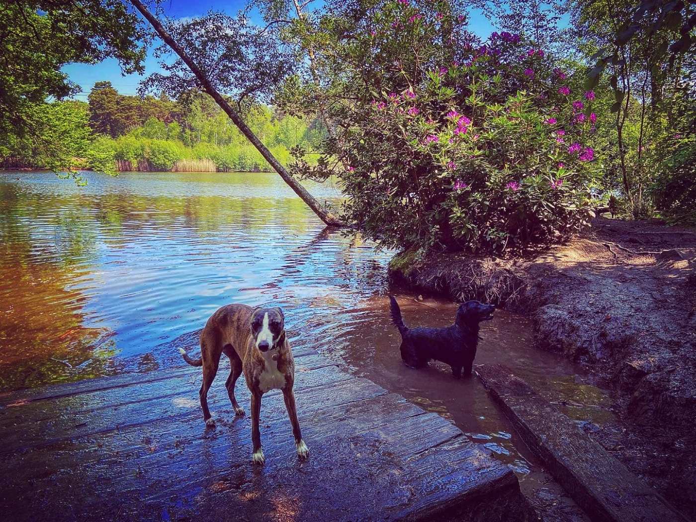
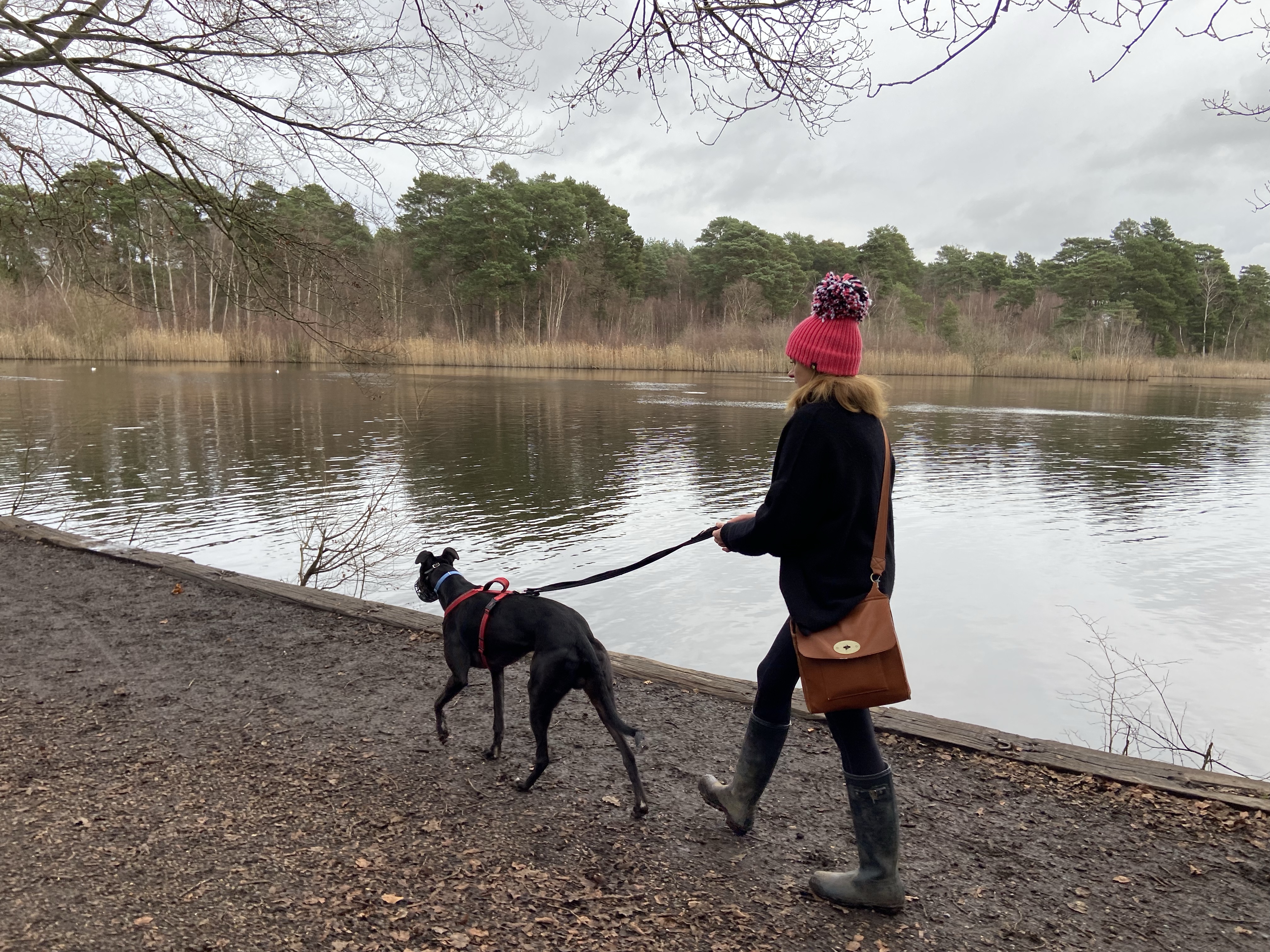
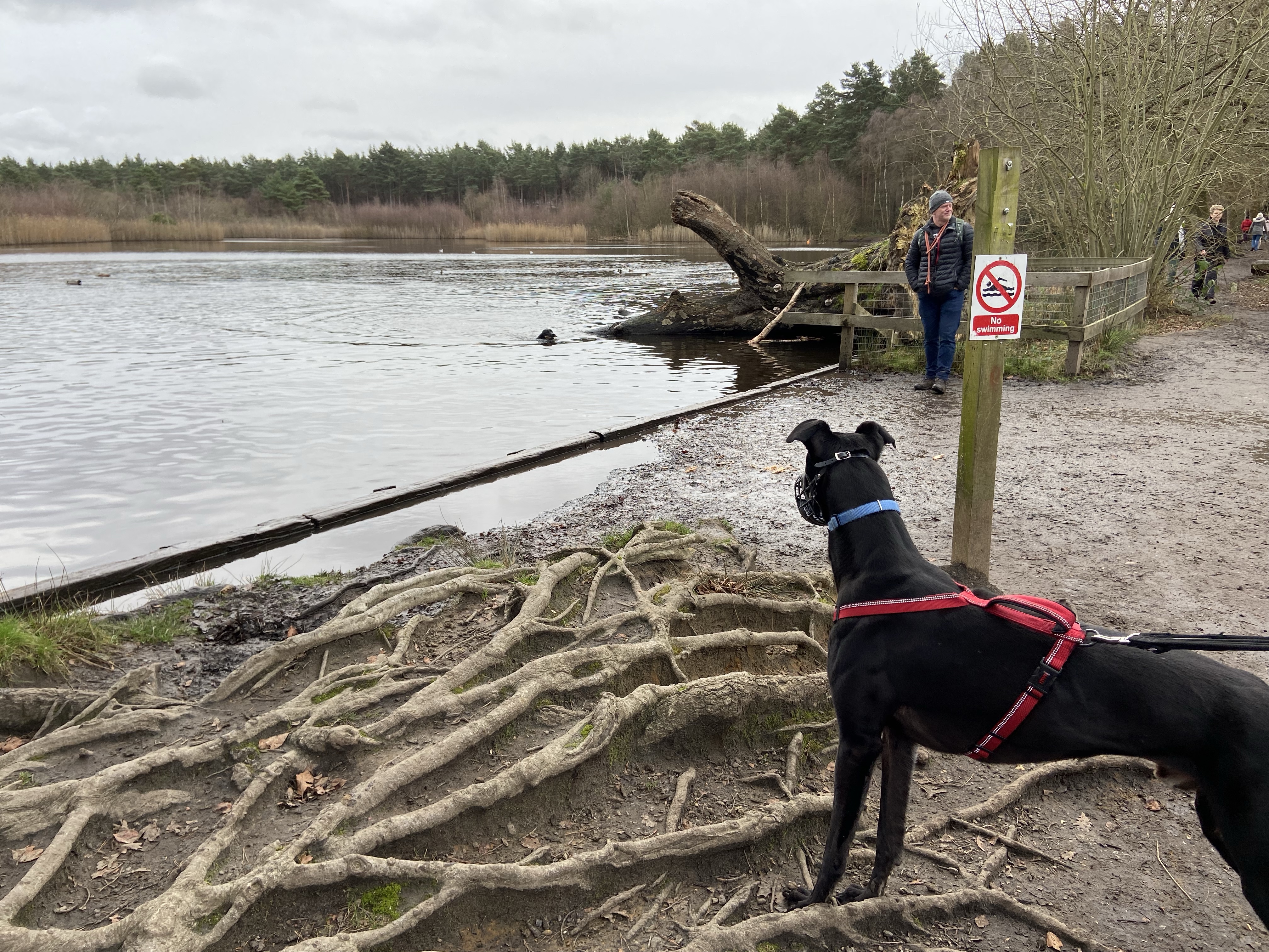
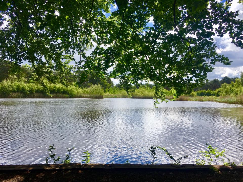
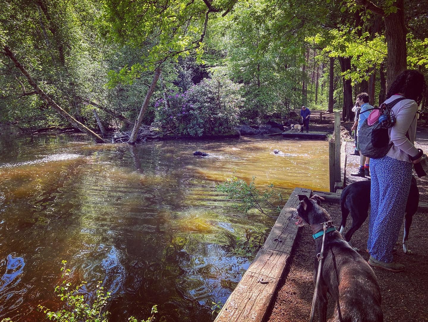
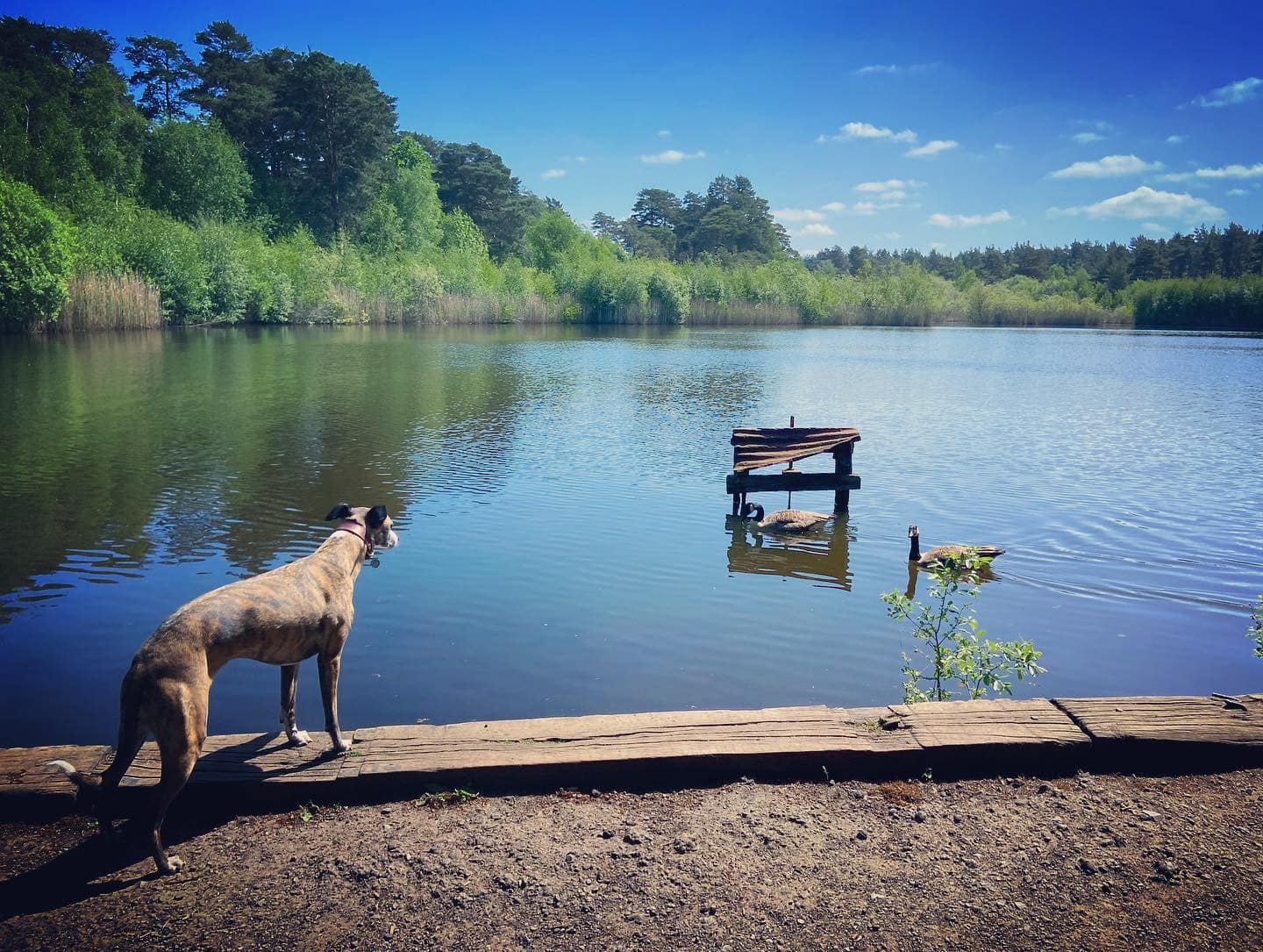
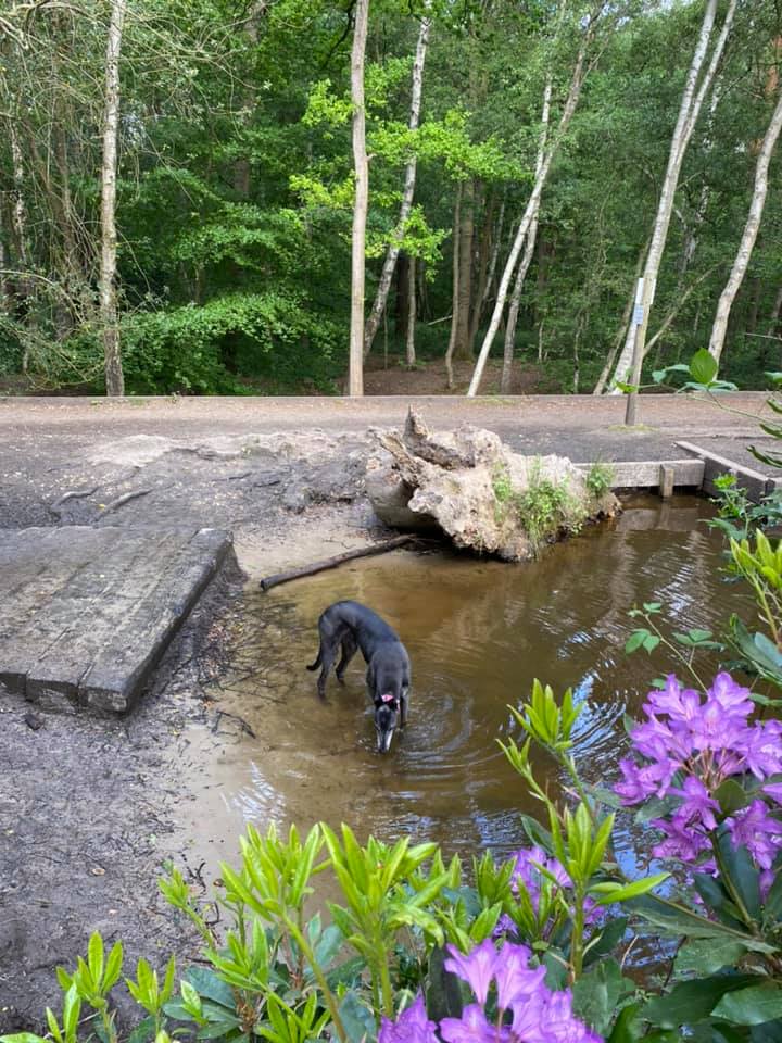
Esher Common contains several ponds and lakes, the largest of which is Black Pond, which was once a water supply for the nearby National Trust Claremont Landscape Garden. The water was brought by pipe up from the pond, where a pony worked the water wheel that pumped it. In its more recent past, Black Pond was a favourite location for open water swimming, with the area on the other side of the raised path that passes along its straight edge the former site of changing huts. These days, the only swimmers you’ll find in it are fish and dogs.
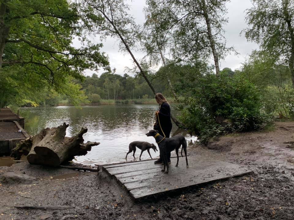
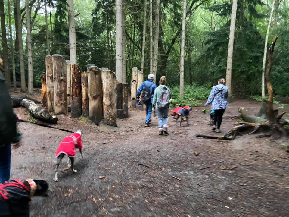
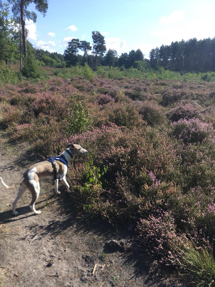
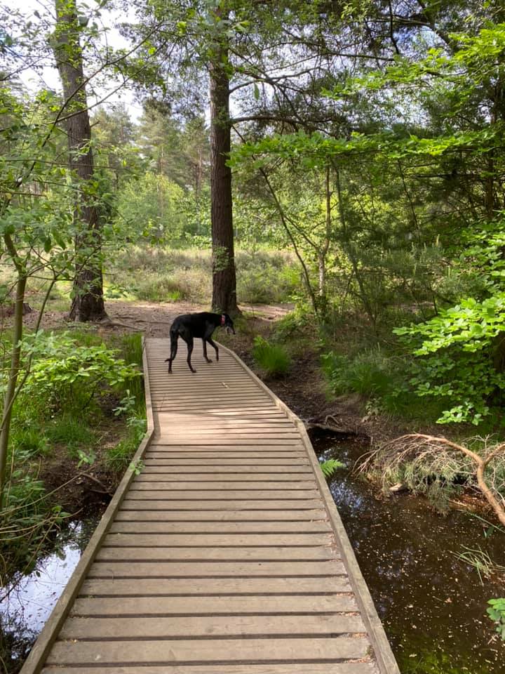
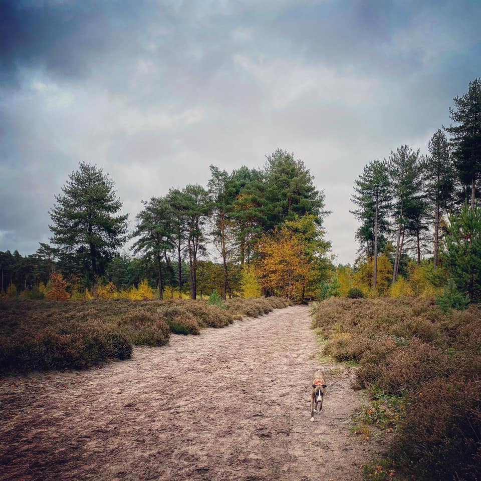
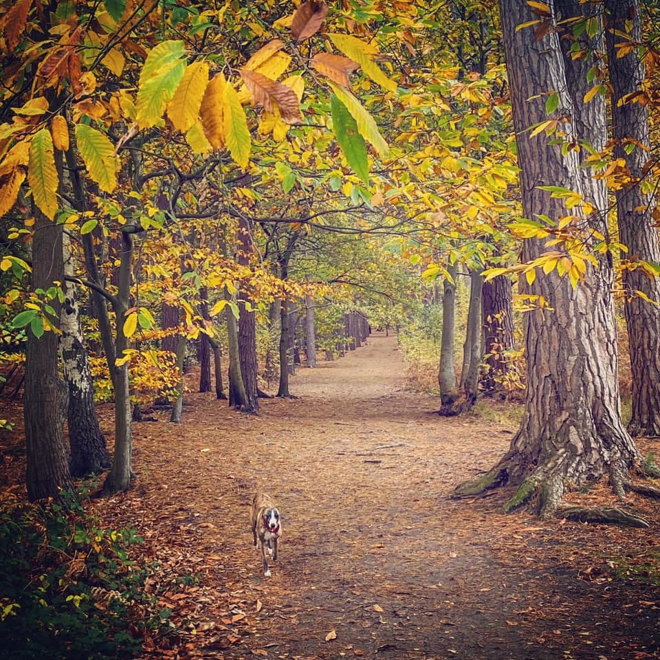
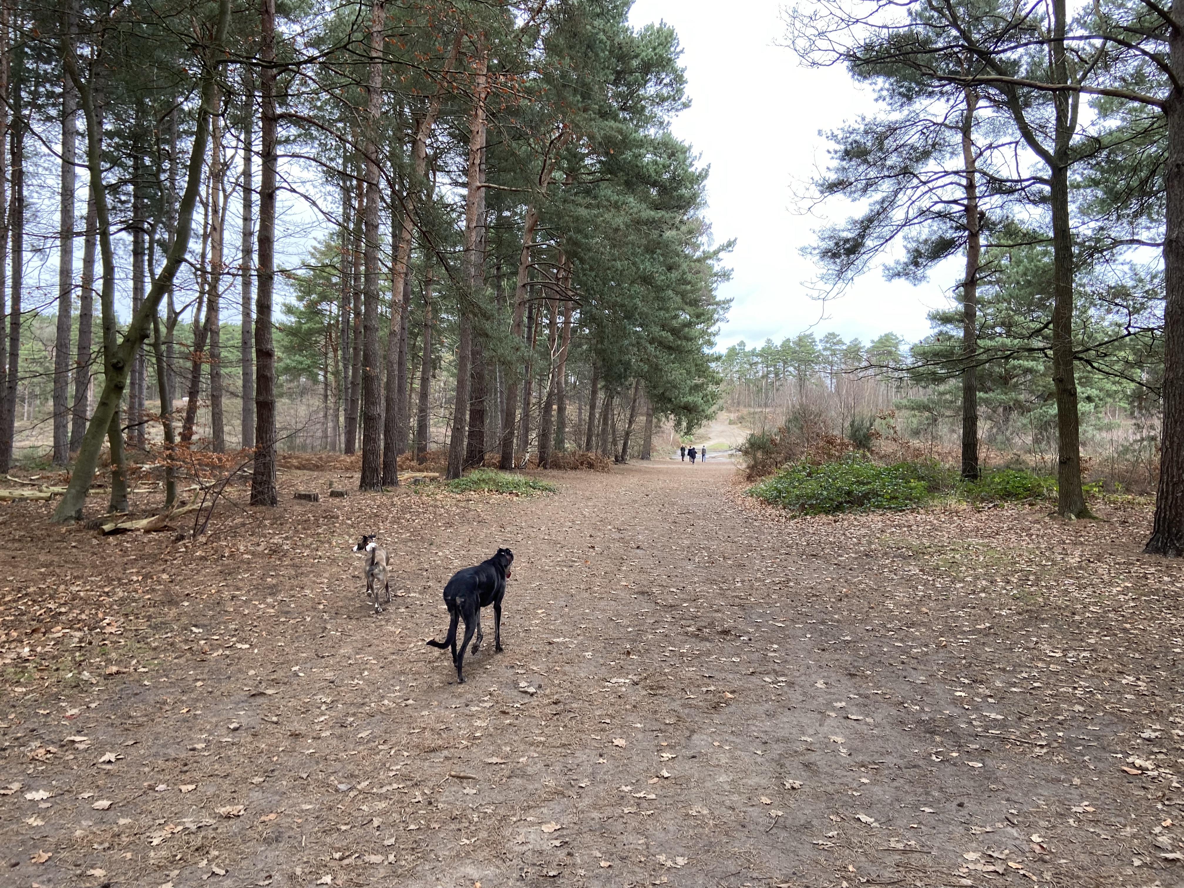
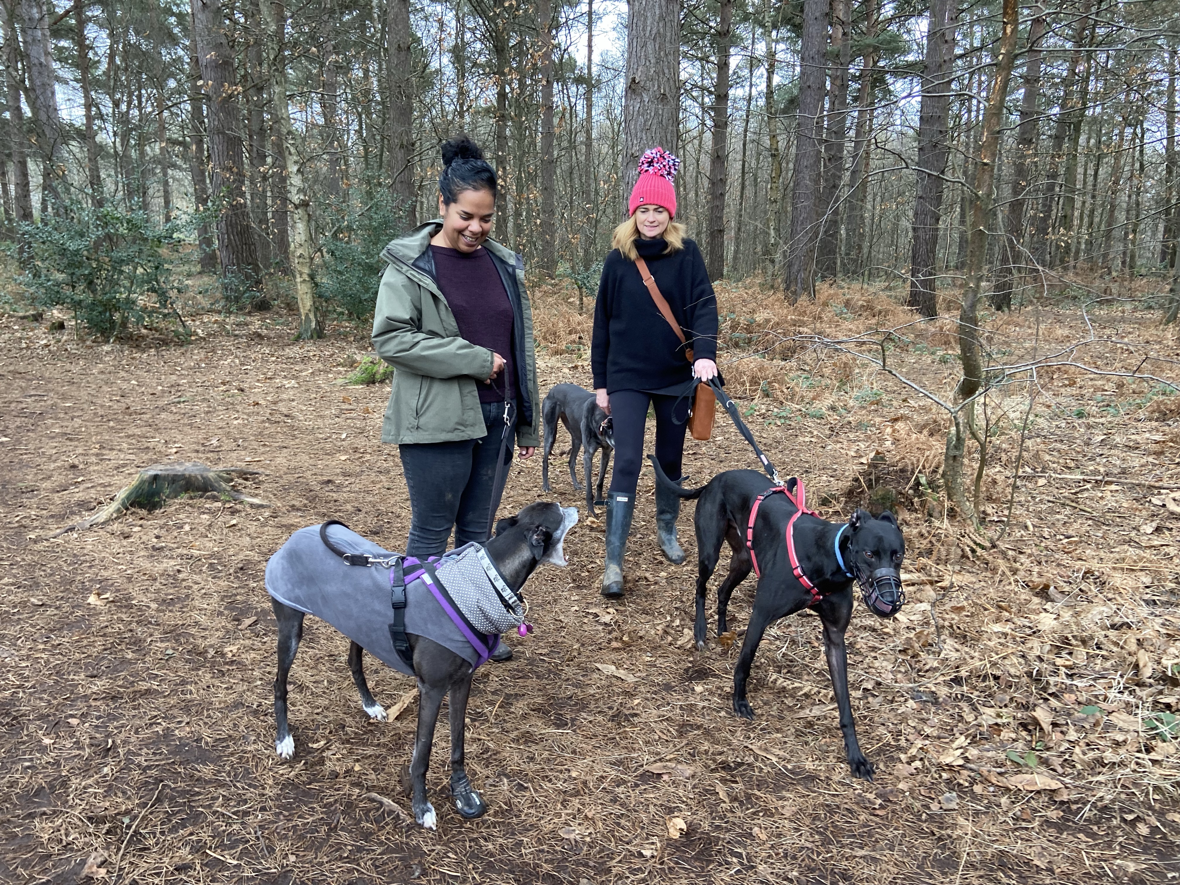
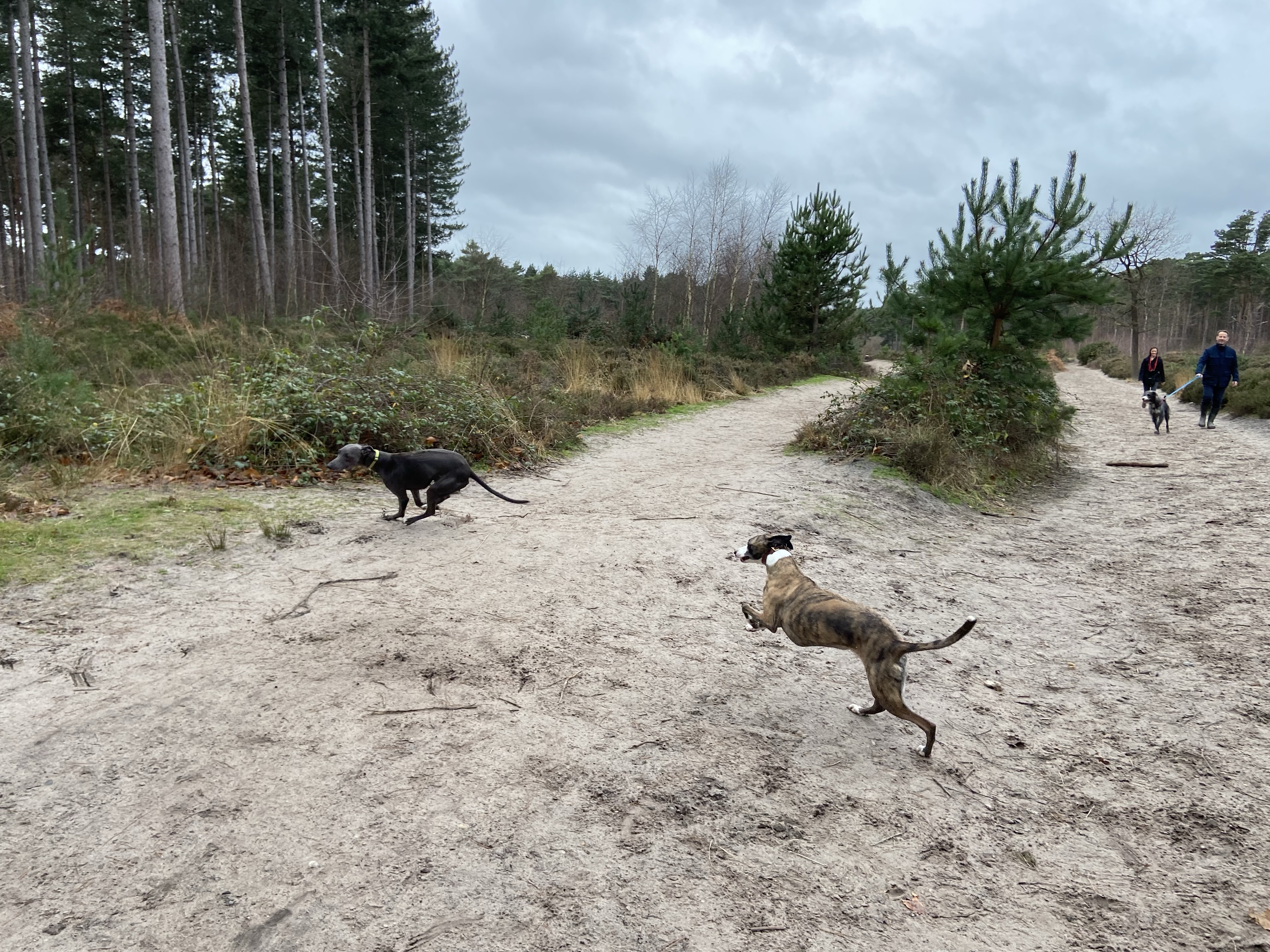
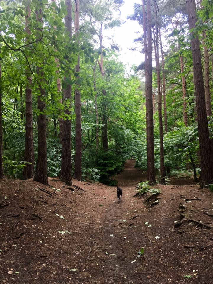
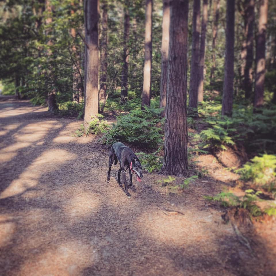
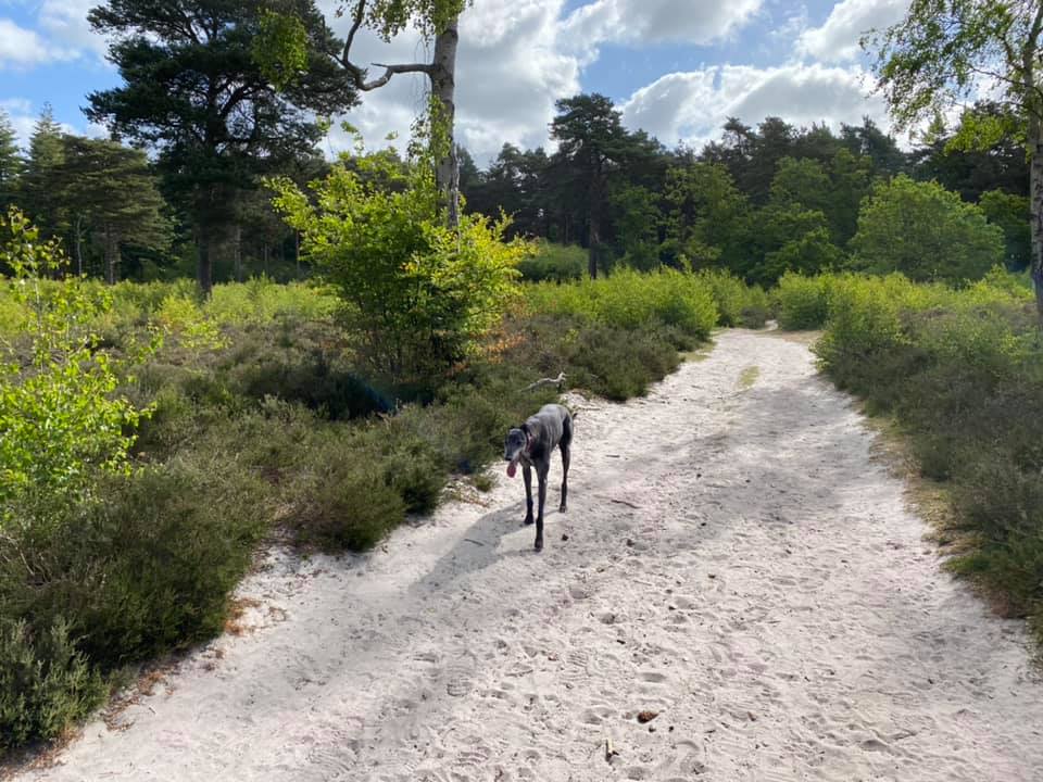
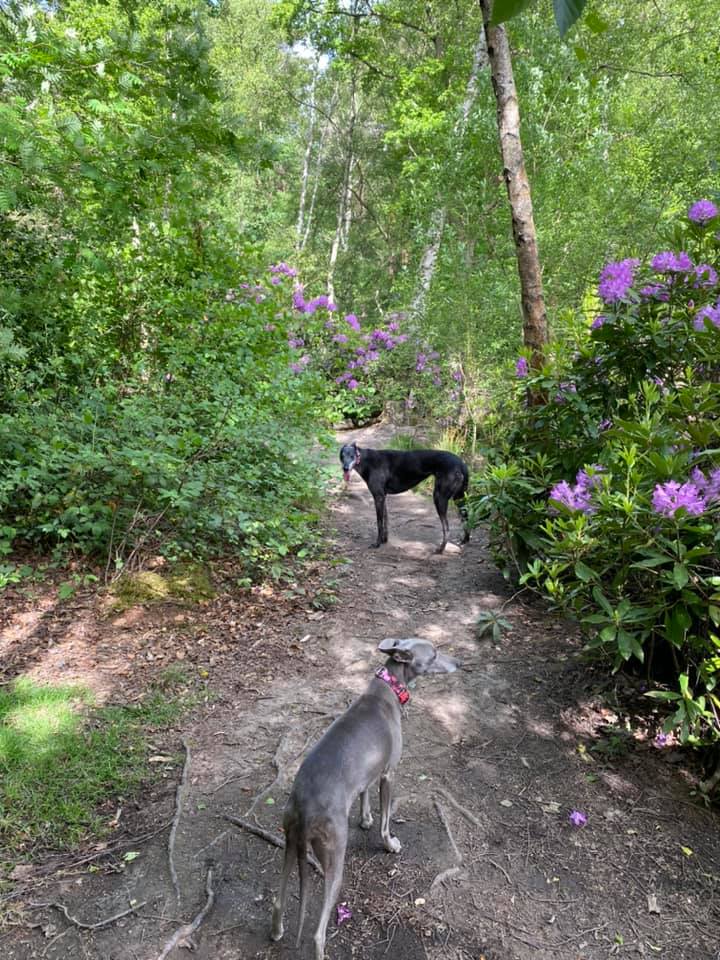
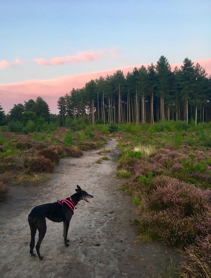
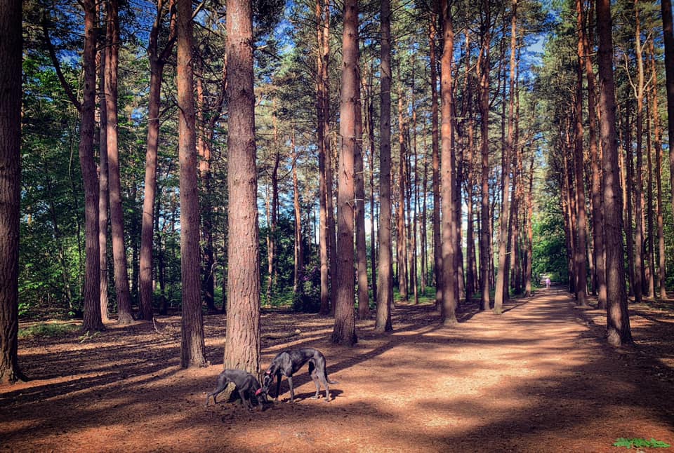
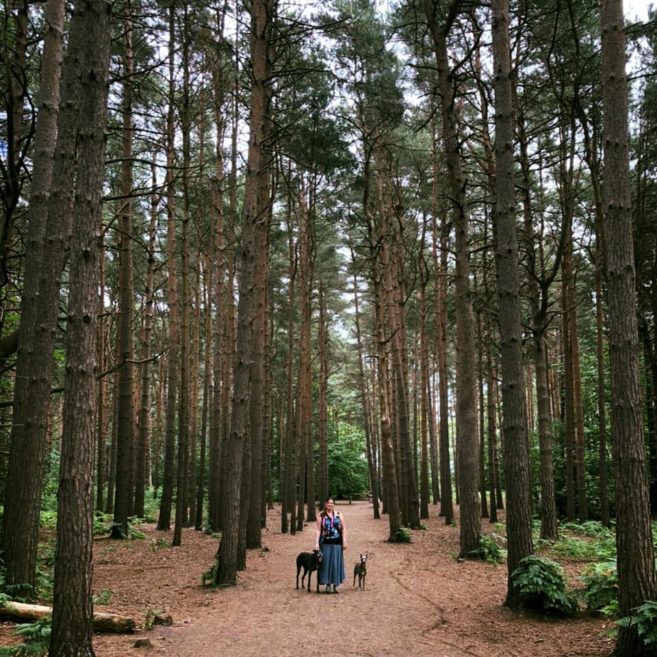
Gallery: What’s it like here?


Instagram reel showing this place
Parking
There are a few car parks that serve Esher Common, the main one being on Copsem Lane just up from the A3 roundabout. This is a gorgeous common and very popular so all the car parks get very busy, but especially this one so if you’re coming as a group, try to car share! As SSWG has gotten bigger, we have had to sadly shelve this as a group walk location as there are never enough parking spaces for all of us arriving together.
GOOGLEMAPS LINK: https://goo.gl/maps/aTAZG1tNgHYHgRoa8
WHAT3WORDS twice.crass.swan
NEAREST POSTCODE: KT10 9HH
A good alternative parking spot, although not big enough to accommodate a big SSWG walk, is the car park at Sandy Lane. This is south of the A3 and to access the main part of Esher Common, you need to take a footbridge across the road.
GOOGLEMAPS LINK: https://goo.gl/maps/qZaTXPH4pQax16j99
WHAT3WORDS: vivid.intent.indoor
NEAREST POSTCODE: KT22 0TA
Poo bins?
There is one poo bin at Copsem Lane car park and a few at Sandy Lane car park. No bins around the common, so please carry any poo bags back to the car park to dispose of poop.
Self-guided walks
There are two self-guided walks on this page – the first is from Copsem Lane car park. Keep scrolling down the page (or click here to jump down) to get to the second, which starts and ends at Sandy Lane car park.
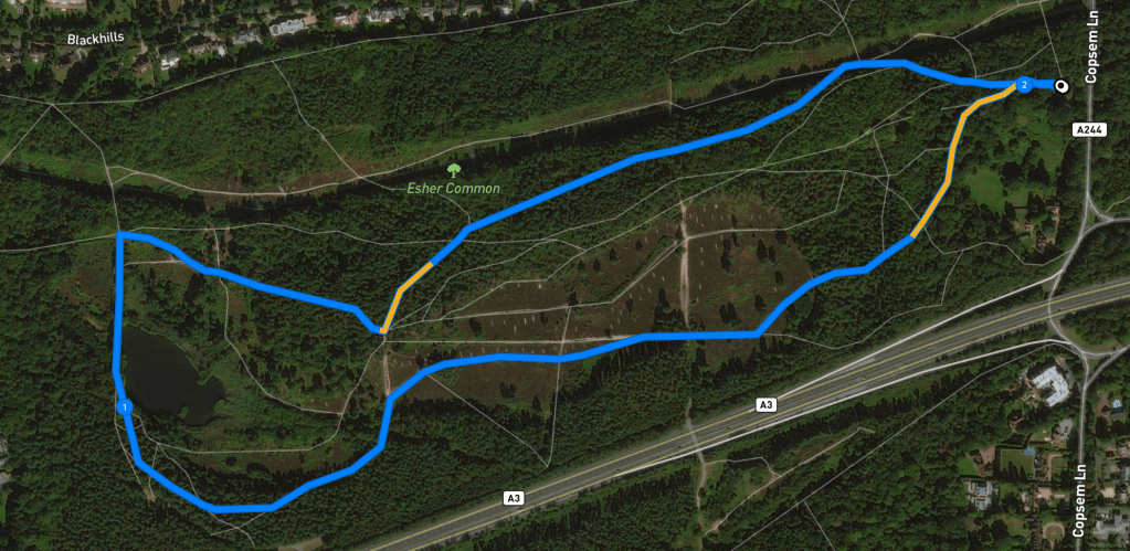
Walk from Copsem Lane car park
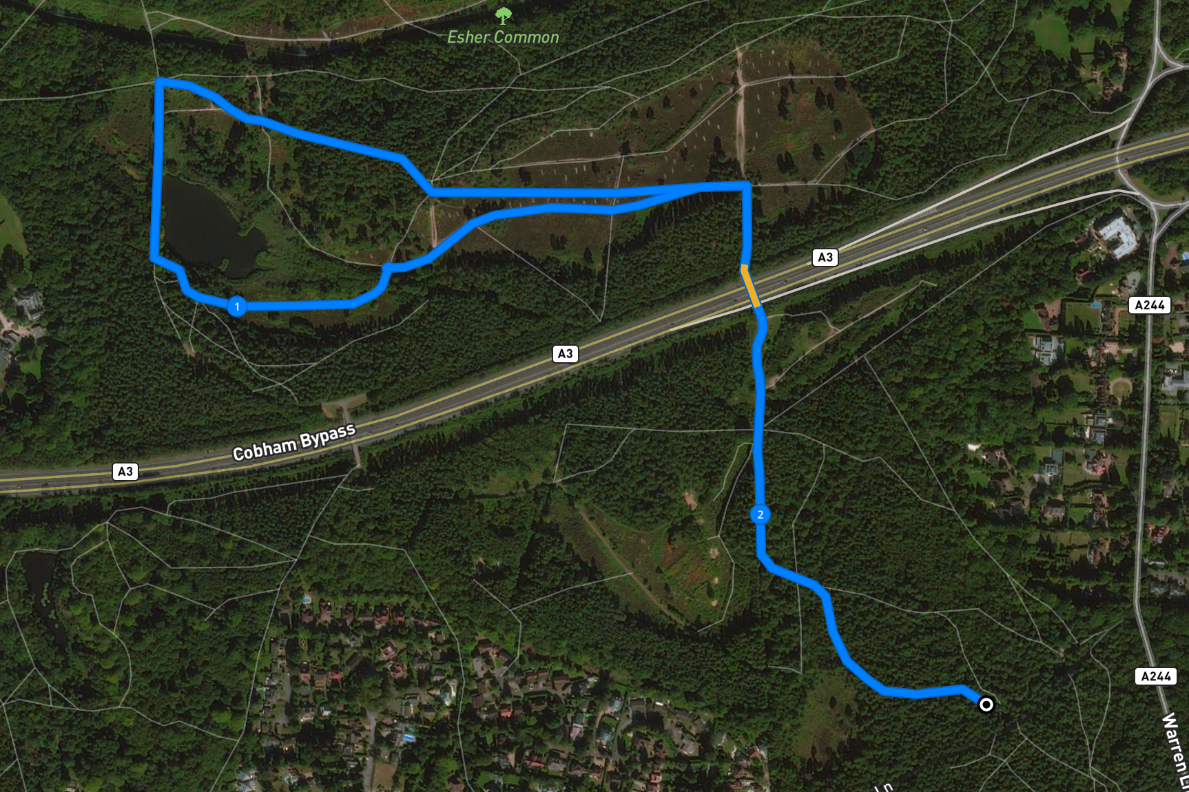
Here is a Footpath app route for Esher Common from Copsem Lane car park. Also on AllTrails. It takes you through the woods, then the heath, around Black Pond and back through the woods.
Length: approximately 2 miles/3.3km
Terrain: Mainly flat across heathland and woodland.
Stiles/kissing gates? No stiles, no kissing gates.
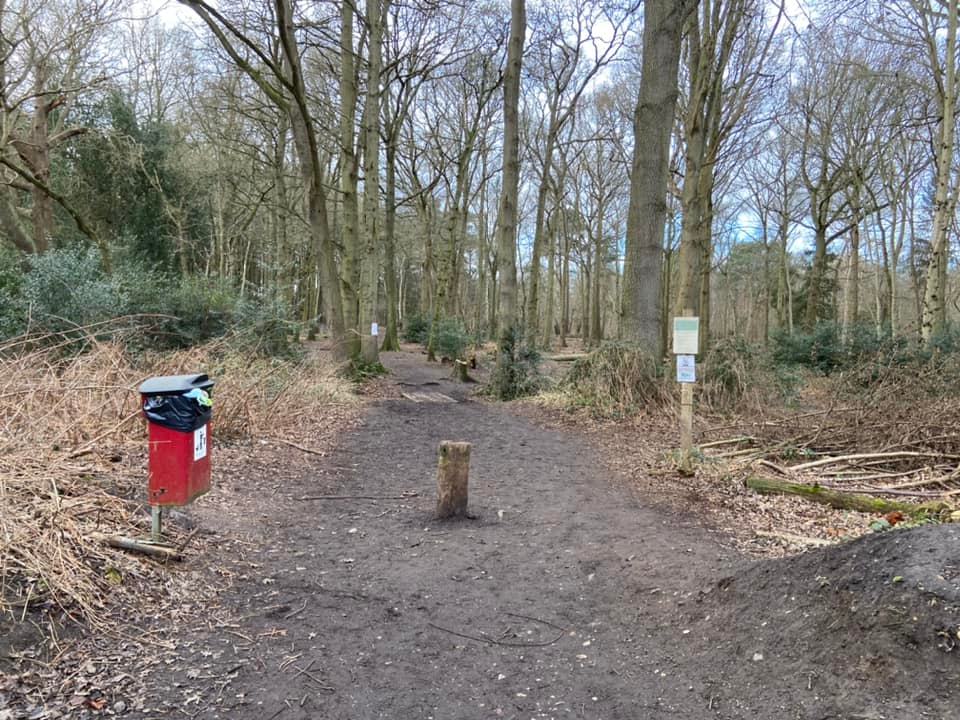
At the back of the car park, there are two main paths through the vegetation onto the common. The one on the right is next to a large information board with a map of the area on it. The one on the left has a poo bin (often overflowing, sadly). Take the one on the left.
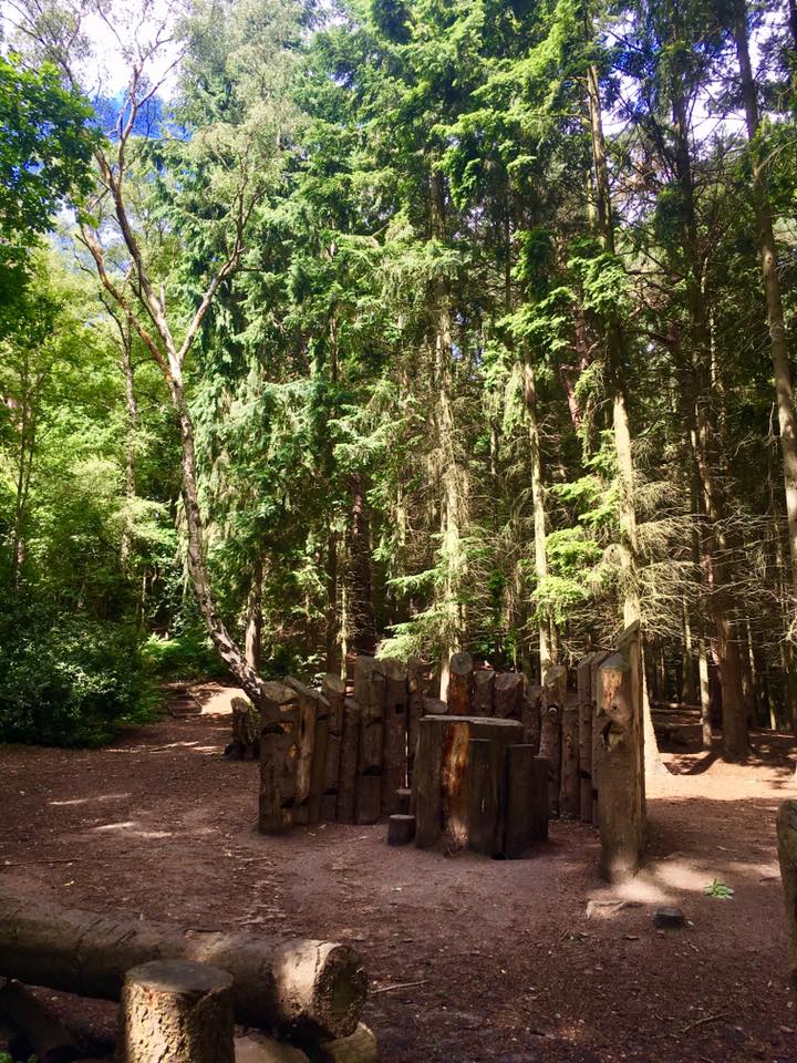
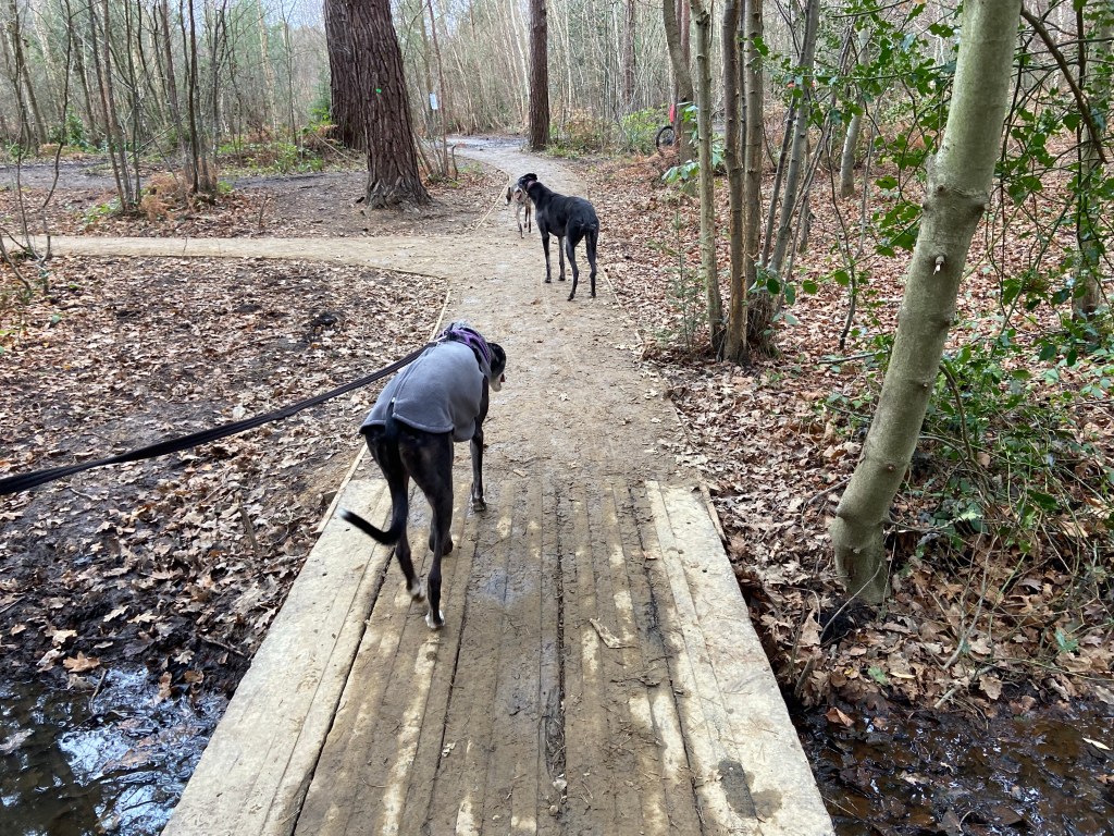
Go over one set of wooden planks and a short distance later, cross over a second set of planks and then take the next path to the left, which will lead you towards a series of wooden blocks/sculpture.
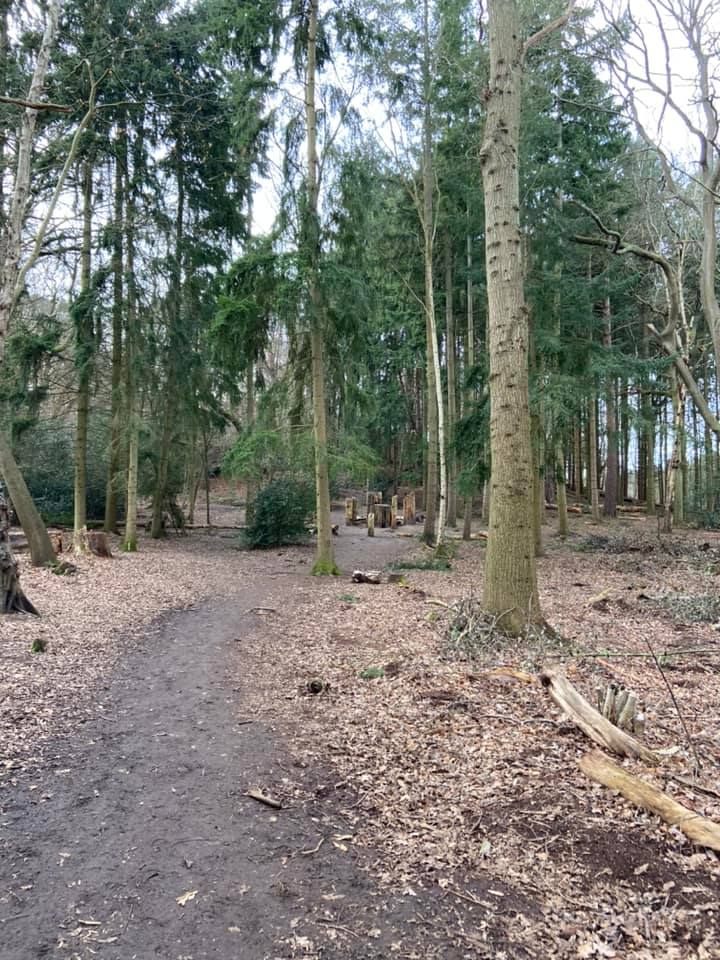
Walk to the left of this, past a big fallen tree trunk and turn immediately left. Take care here because there are actually two paths to the left – and you want the lower one of the two, which goes between a couple of holly bushes. It’s often got a big muddy bit between these bushes.

Follow this winding path through the woods, ignoring any little paths that come off it.
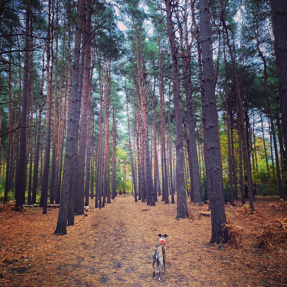
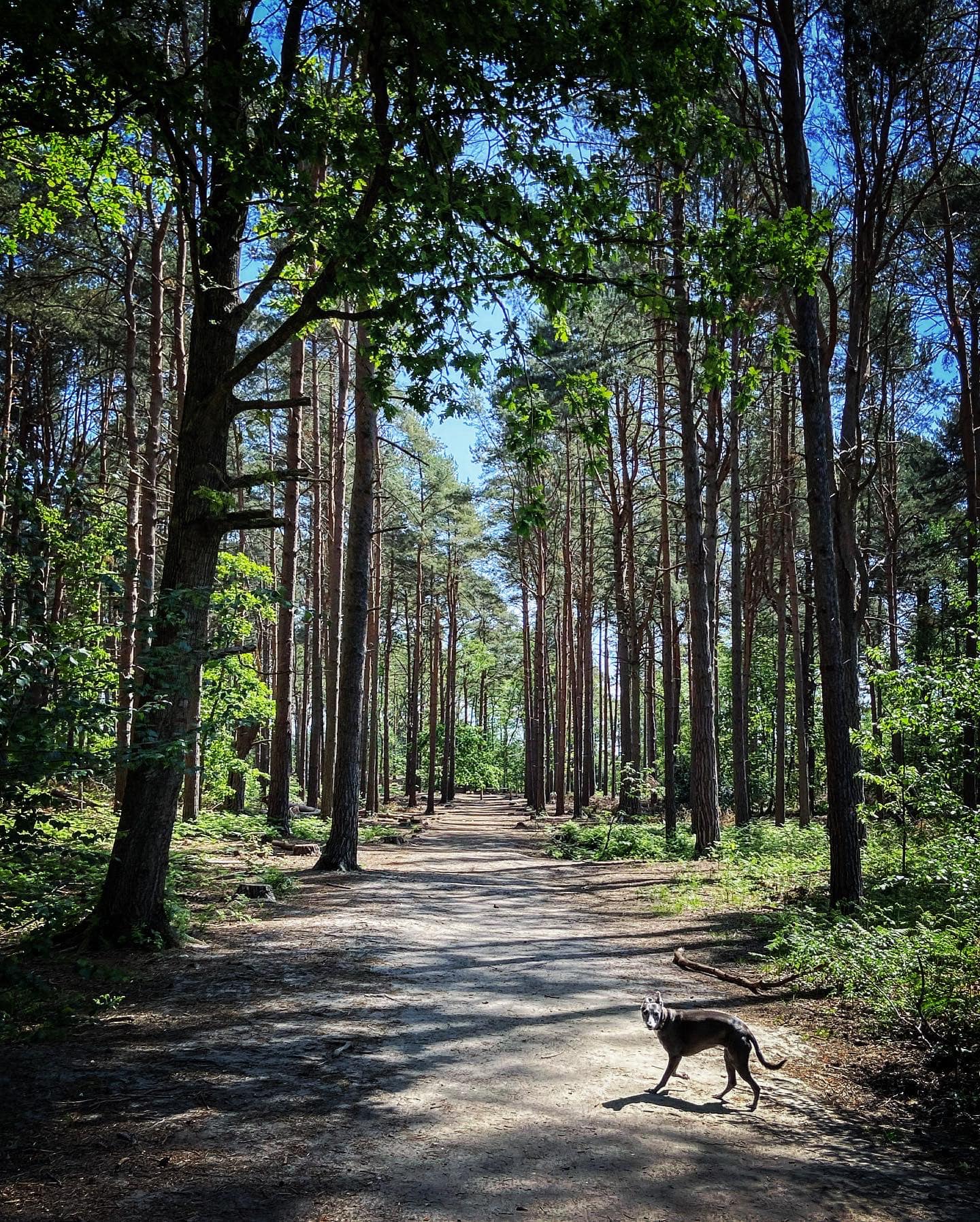
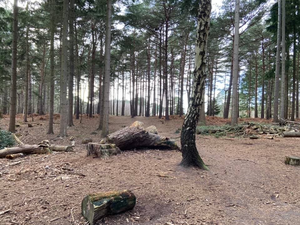
You’ll pass a (quite tall) tree stump (on right of path), then a knobbly tree (on the left) and the woodland changes – becoming tall coniferous trees with no leaves/foliage on the lower halves of their trunks. There are pine needles underfoot and pine cones. Just continue straight, passing a big portion of a fallen tree next to a big stump (immediately to left of the path).
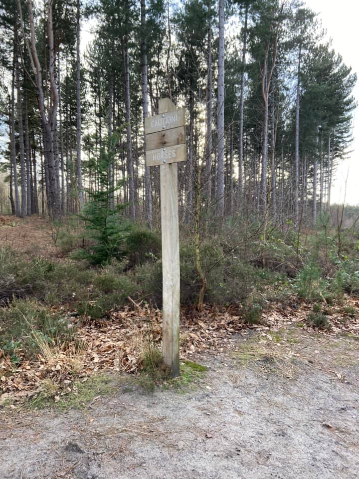
Keep going and you’ll emerge from the trees to heathland with a path running left to right along its edge. Bear left here on the compacted mud path. It’ll reach a cross paths where the left and ahead options are really small, and you go round to the right (in fact, it’s sort of the same path to be honest). You’ll pass some large gorse bushes and come to a big cross paths with a bench on the right next to a wooden post and another wooden post ahead that says “caution horses” on it. Go straight over.

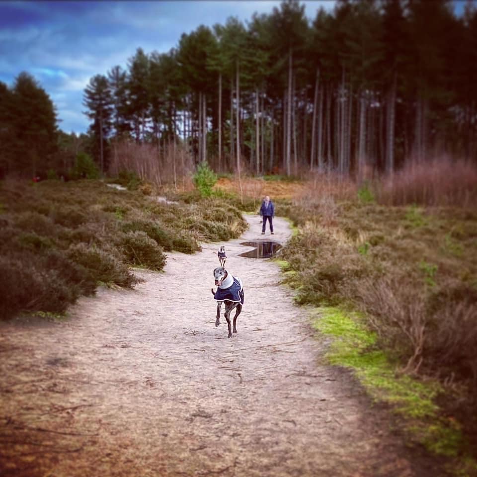
Almost immediately, you have a choice of two paths in front of you, running parallel with each other initially (they do separate the further you go). The left one is a fraction higher than the right, and the right one is much sandier – see photo below. Take the left one (although your dog may want to zoomie about on the right one because sand often makes them giddy – it doesn’t really matter I guess as you can cut across the heather if you want).

But anyway, for ease of explaining where to go, take the left path – this stretch of the common got the nickname “Rena’s Motorway” as my silly goose used to particularly love to have a zoom back and forth here, with her legs all over the place.
Follow the path all the way down – when the heath opens out, you may notice a pond on your left, although it’s quite far back from the path. The path will take you past some really tall trees before sloping down towards the left and joining a large path coming down from the woods to the right (an area of the wood known known as Fiveways).
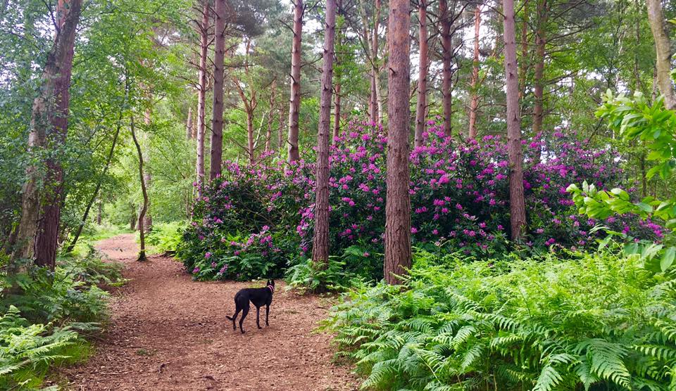
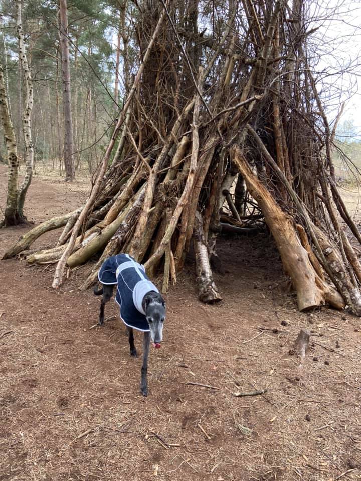
Continue on this wide path as it bears to the left and heads down and into woods. You’ll go over a boggy stream and then soon after, a small path comes off to the right. It has a No Horses sign on it. *I always opt for this little path here as it’s nice to walk through the woods, springy underfoot, less muddy than the wide path and doesn’t go as near to the busy road so is quieter. In the early summer, there are purple Rhododendrons dotted about. Just follow your nose, passing one of those little huts made of sticks that seem to be everywhere these days. This smaller path eventually opens out and re-joins the main path. (*but you can just stay on the wide path if you prefer).
So, whichever path you opt for, you’ll end up at Black Pond. Continue through the staggered barrier and pass the pond on your right. It’s really quite lovely.
At the end of the pond, keep going straight with scrubby trees and rather muddy water on the right (Rena always goes for a paddle and a drink in this even though it can be quite stinky!) You’ll come down to an open junction of paths with a bench ahead. Turn right here and follow another wide path as it goes uphill. After a short way, you’ll enter woods with really tall trees either side.

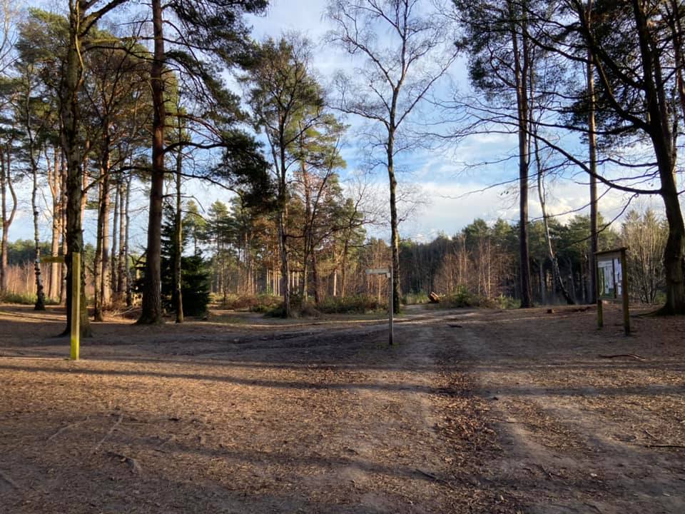
At the end of this tree-lined path, pass through the staggered barrier and turn right onto another sizeable path that brings you down to the area called Fiveways that I mentioned earlier – it even says it on the fingerpost in the middle of the paths.
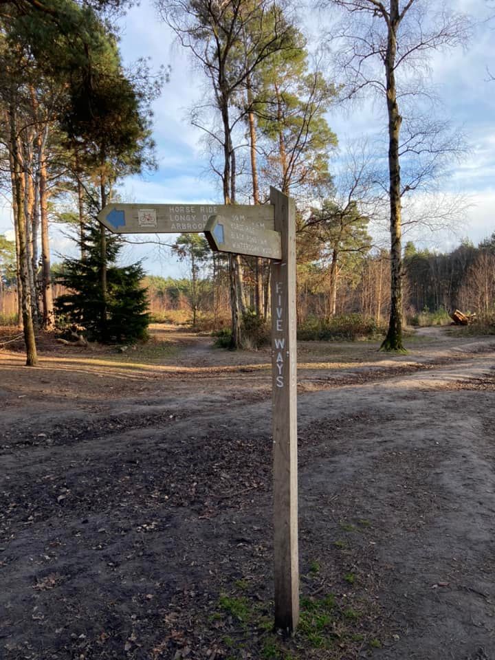
At the fingerpost, you want to head on the path indicated by the sign for the horse ride, Londy Down and Arbrook Common. It’s a gullied path that initially heads up a slope and then down again through woods.
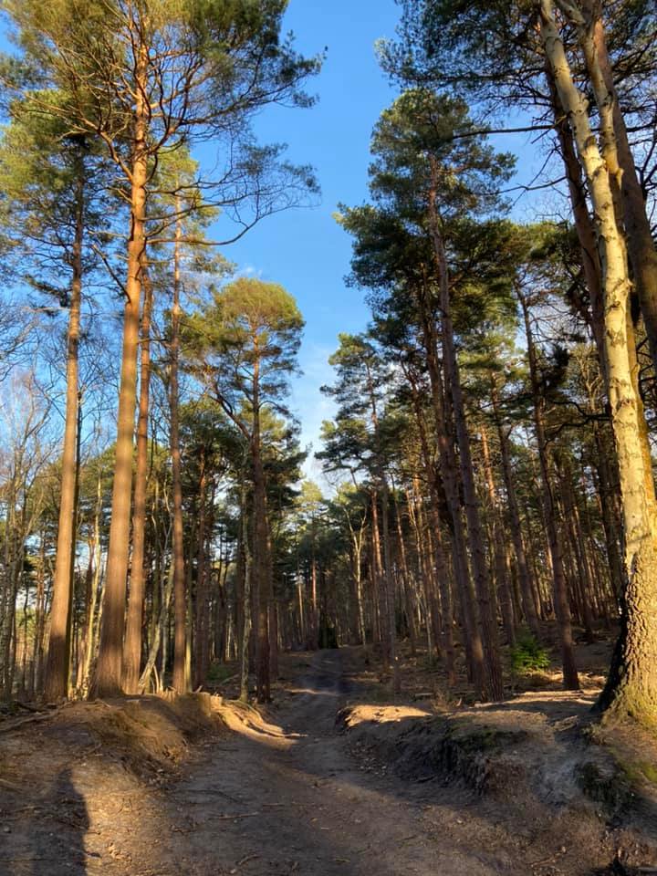
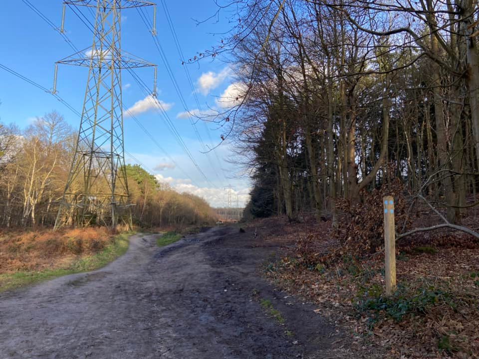
Ignore any paths that come off it. After some distance, you’ll reach a sizeable cross paths (where the path to the right is wide and sandy and heads up a steep slope.) Go straight across here. Presently, you’ll see an electricity pylon come into view ahead. Continue towards that and you’ll emerge from the woods to the clearing that runs the length of the common where the pylons are. There is another path from behind you slightly to the left which goes right alongside the pylon. Stay on the right-hand side and skirt the edge of the woods for a very short way and then you’ll see it curves back to the right into the woods again (almost alongside the pylon).

Just follow this path as it weaves through the trees. You’ll see the hill rising up to your right, and you should also see ahead and right, the wooden blocks/sculpture that you passed at the start of the walk. Ahead and to the left, through the trees, you should also be able to make out the car park. This path brings you back down to the wooden planks – cross both sets and you’re back at the beginning.
Walk from Sandy Lane car park
Here is a Footpath app route for Esher Common from the Sandy Lane car park. Also on AllTrails. It takes you via a footbridge over the A3, which some nervy hounds may find troubling because of the traffic thundering underneath. The route then goes through heath, past the large Black Pond, through some woods and back through heath to the start.
Length: approximately 2.3 miles/3.7km
Terrain: Mainly flat across heathland and woodland.
Stiles/kissing gates? No stiles, no kissing gates. Footbridge over the A3 – you will cross this out and back.
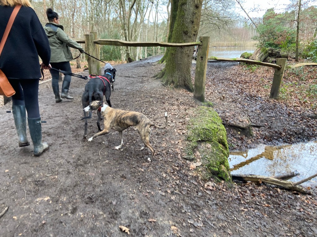
There are a number of paths that run from the back of the car park, but the one you want to set off down for this walk is pretty much opposite the vehicle entrance to the car park. There is a man-made path edged with wood strip. It’s mud and can be slippy in the winter, but it’s clear where the path is. Follow this winding path all the way to a large cross paths. You’ll cross over a couple of streams on the way, like the one pictured below. This is the second of the two, and you can see ahead, just after the fork off to the left, the large crosspaths I just mentioned.
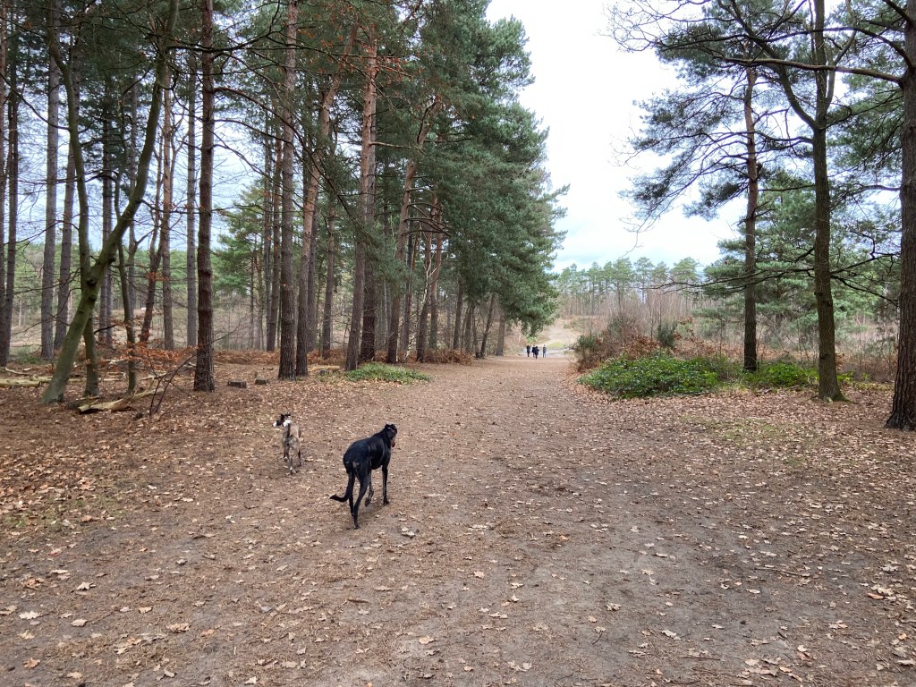
Turn right here. It’s a really wide path and heads up a slope to the A3 footbridge. You’ll pass a fenced off pond on your right, which has a sign saying “No dogs”. Cross over the footbridge and you’ll be on the bit of the common that everyone thinks of as Esher common “proper”. The path slopes down with tall trees either side. You’ll see it gets sandier as you walk ahead. At the first large junction, which is about where the people are in the below photo, turn left.
It’s very sandy underfoot here and some hounds can get a little giddy – I guess maybe it reminds them of race tracks. There are two paths running pretty much parallel (see picture below).
Take the path on the left. I nicknamed this stretch “Rena’s Motorway” as my silly goose used to particularly love to have a zoom back and forth here, with her legs all over the place.
Follow the path all the way down – when the heath opens out, you may notice a pond on your left, although it’s quite far back from the path. The path will take you past some really tall trees before sloping down towards the left and joining a large path coming down from the woods to the right (an area of the wood known known as Fiveways – this is Path 5 that I mention later).
Continue on this wide path as it bears to the left and heads down and into woods. You’ll go over a boggy stream and then soon after, a small path comes off to the right. It has a No Horses sign on it. *I always opt for this little path here as it’s nice to walk through the woods, springy underfoot, less muddy than the wide path and doesn’t go as near to the busy road so is quieter. In the early summer, there are purple Rhododendrons dotted about. Just follow your nose, passing one of those little huts made of sticks that seem to be everywhere these days. This smaller path eventually opens out and re-joins the main path. (*but you can just stay on the wide path if you prefer).
So, whichever path you opt for, you’ll end up at Black Pond. Continue through the staggered barrier and pass the pond on your right. It’s really quite lovely.
At the end of the pond, keep going straight with scrubby trees and rather muddy water on the right (Rena always goes for a paddle and a drink in this even though it can be quite stinky!) You’ll come down to an open junction of paths with a bench ahead. Turn right here and follow another wide path as it goes uphill. After a short way, you’ll enter woods with really tall trees either side.
At the end of this tree-lined path, pass through the staggered barrier and turn right onto another sizeable path that brings you down to the area called Fiveways that I mentioned earlier – it even says it on the fingerpost in the middle of the paths.
Ok, so now imagine the path you have just come down is Path 1. Going clockwise, Path 2 is a gullied path that heads up a slope into the woods. Path 3 is the next one, and the one you want. It heads into the heath again. Path 4, out of interest, also heads into the heath and is right by Path 3 so be sure to take the one on the left. Path 5 is a wide sandy path that also heads down into the heath – this actually goes down to where you came off of Rena’s Motorway earlier by the tall trees and where I mentioned a path coming down from Fiveways.
Anyway, back to Path 3, which I hope you have successfully located. This path is pretty much straight. Remember earlier at the start of Rena’s Motorway where I said there are two sandy paths that run pretty much parallel to each other and for you to take the left-hand fork? Well, this path is the other one so it’ll bring you down to that cross paths, where you’ll want to turn right and re-trace your way back up the slope. Go over the footbridge and down past the pond, which will be on your left this time. Continue ahead until you come to the man-made path that brought you up from the car park on your left, and follow that back to the start.

Leave a comment