Page contents
About
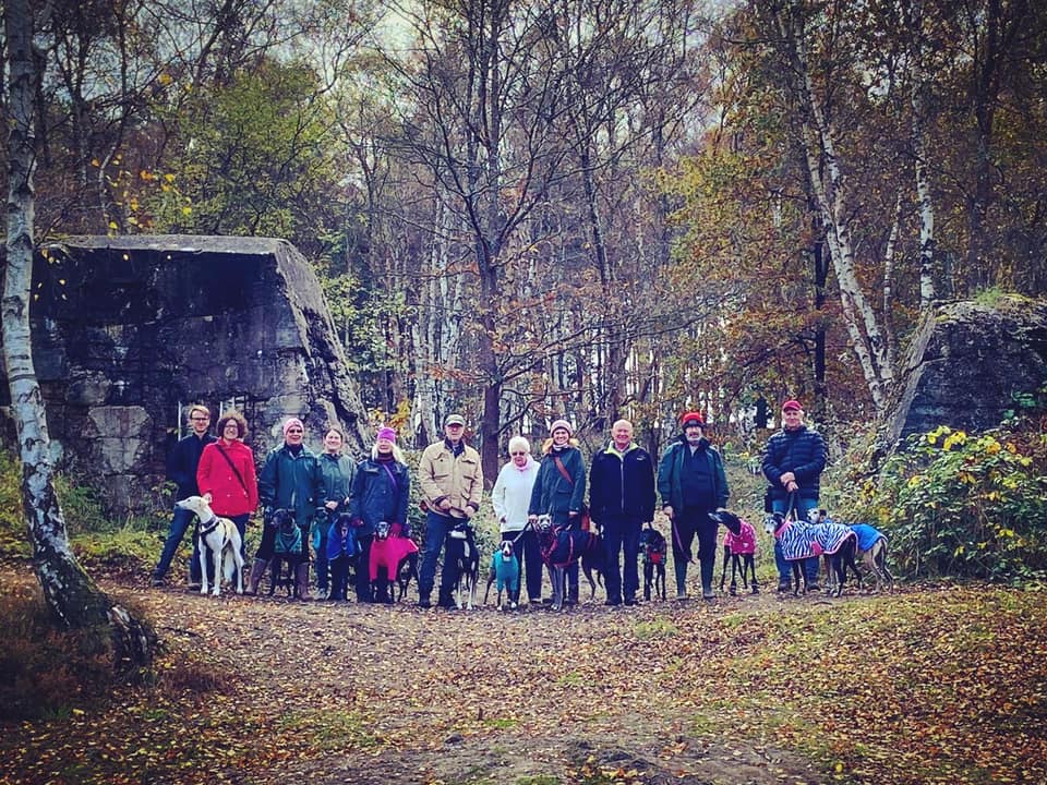
Gallery
Instagram reels showing here
Parking
Poo bins?
Self-guided walk
About
Hankley Common is a 560-hectare nature reserve near the village of Elstead in Surrey comprising lowland heath and woodland. The site is part of the Thursley, Hankley and Frensham Commons Special Area of Conservation and a Site of Special Scientific Interest.
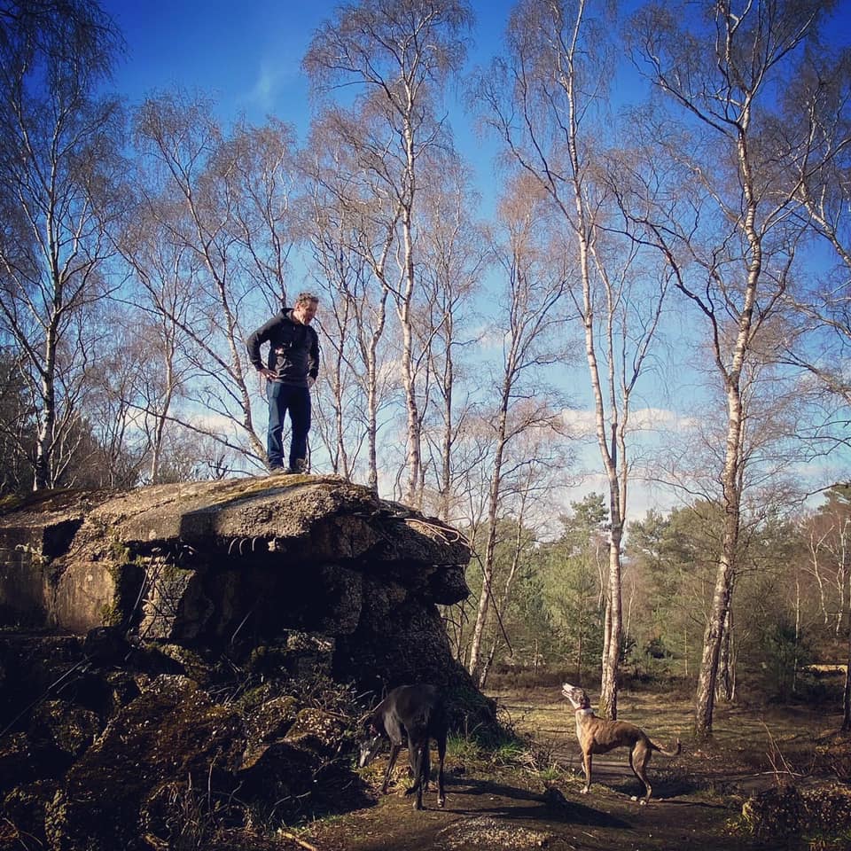
Owned by the Ministry of Defence, Hankley Common has a rich military history and is home to a reconstruction of the Atlantic Wall and a Second World War pill box. It was considered London’s last line of defence in the war – if the enemy got past here, they were as good as on the city.
Despite being called Hankley Common, this is not actually registered common land and there are only a few Public Rights of Way (PRoW) bridleways and footpaths crossing it. However the Byelaws state that the general public is permitted to use the lands for open air recreation providing it does not inhibit military use. The common is still used as a military training area for soldiers and cadets. Troops training here are briefed not to fire blanks within 30m either side of a public right of way, nor to use pyrotechnics (flares, smoke grenades, thunderflashes etc.) within 100m either side when members of the public are present but do be vigilant. Please ensure you adhere to MoD signs and instructions from military personnel.
The area has attracted the attention of filmmakers over the years as a setting for various blockbusters including the James Bond movies The World Is Not Enough, Die Another Day and Skyfall, and the Marvel film Black Widow. It has also featured in episodes of Doctor Who, Blackadder Goes Forth and Ultimate Force.
Note – I have quite a few other walks for this area, including:
– Elstead Common from Moat Pond
– Royal Common, Forked Pond and Thursley Nature Reserve fringes
– Thursley Common National Nature Reserve
– from the village of Thursley (to be added)
– Hankley Common – south side from Pitch Place
– Hankley Common – route following the Greensand Way through Hankley golf course and via Stockbridge Pond (to be added)
– Churt Common/The Flashes, Axe Pond and Stony Jump
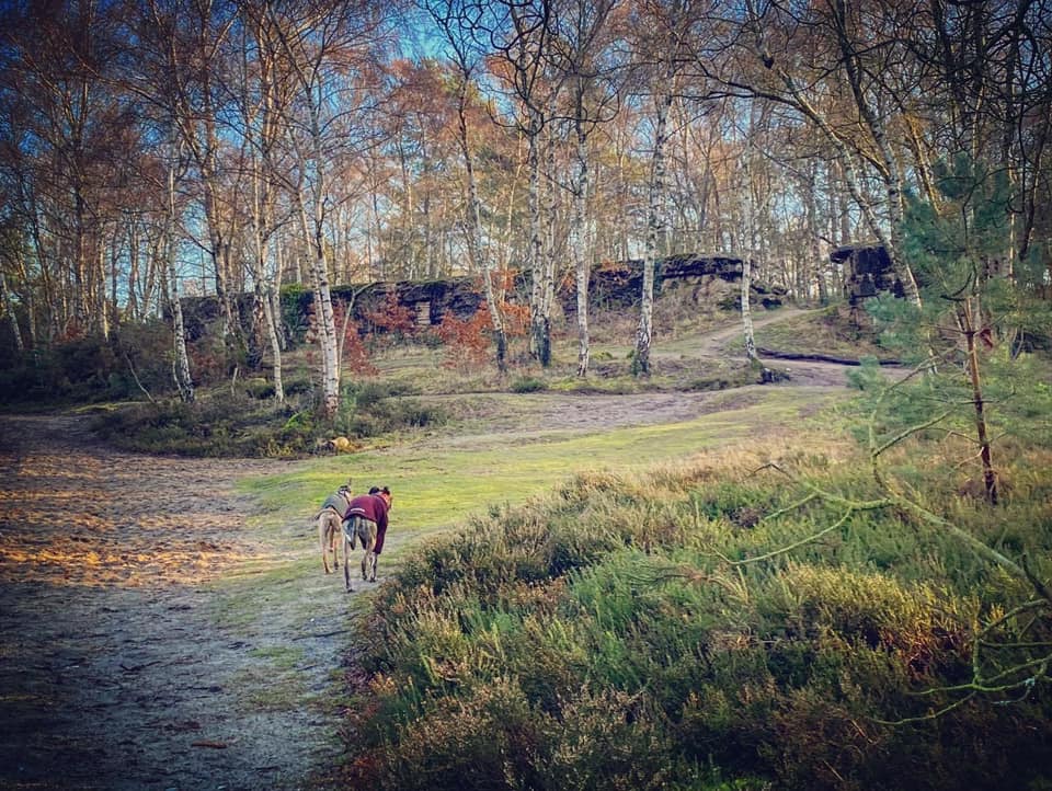
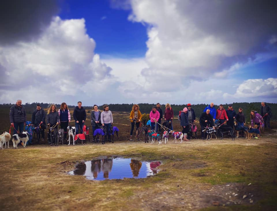
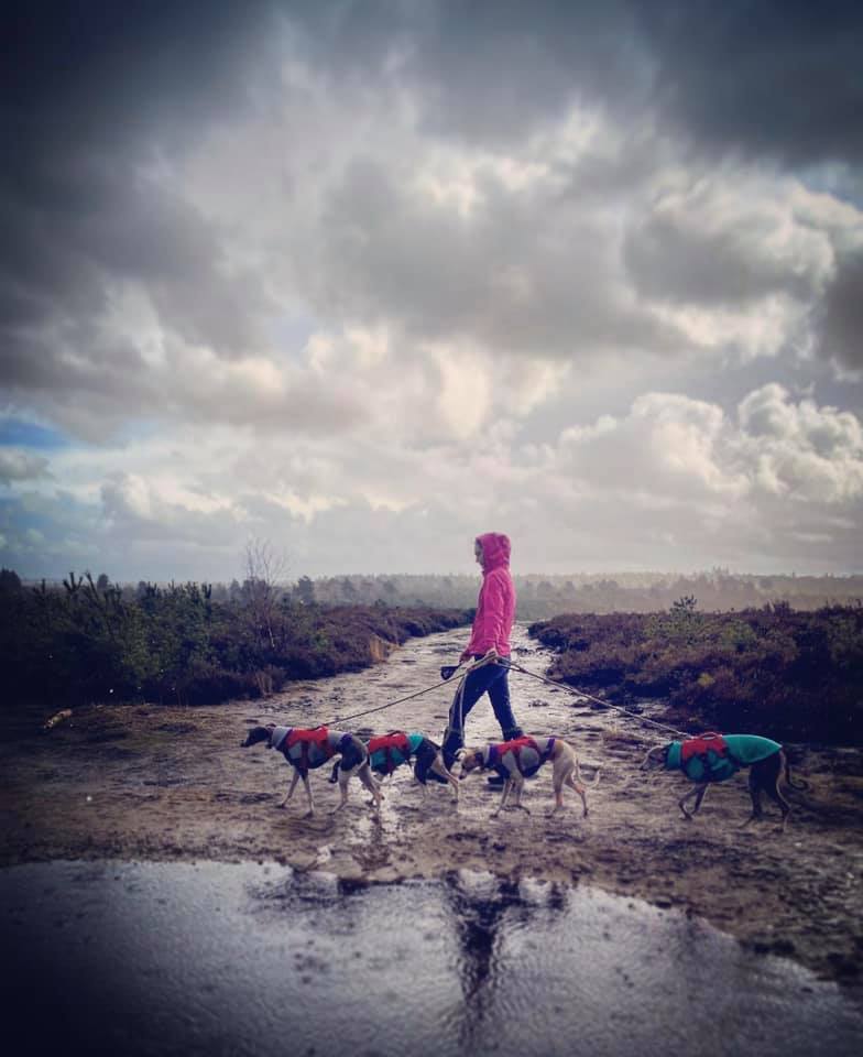
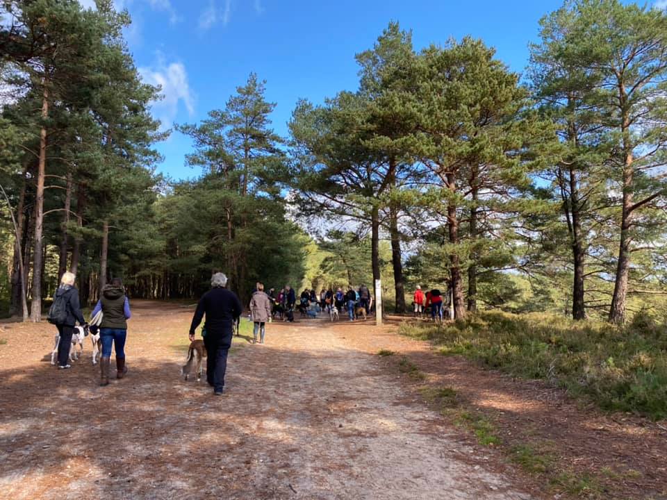
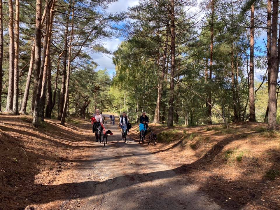
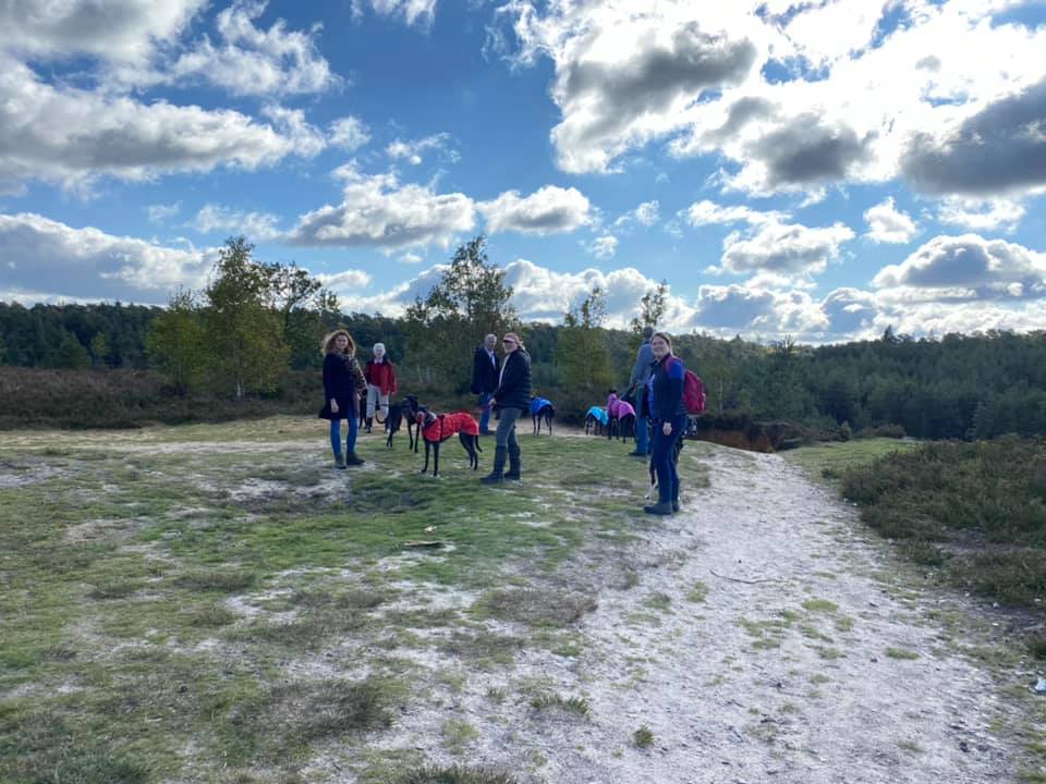
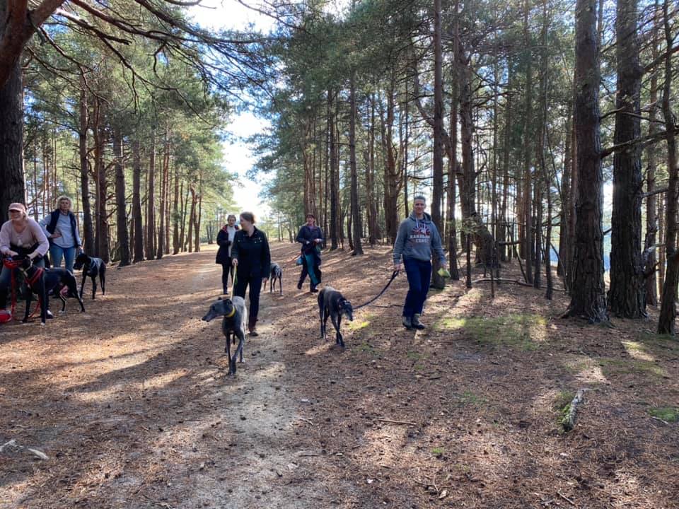
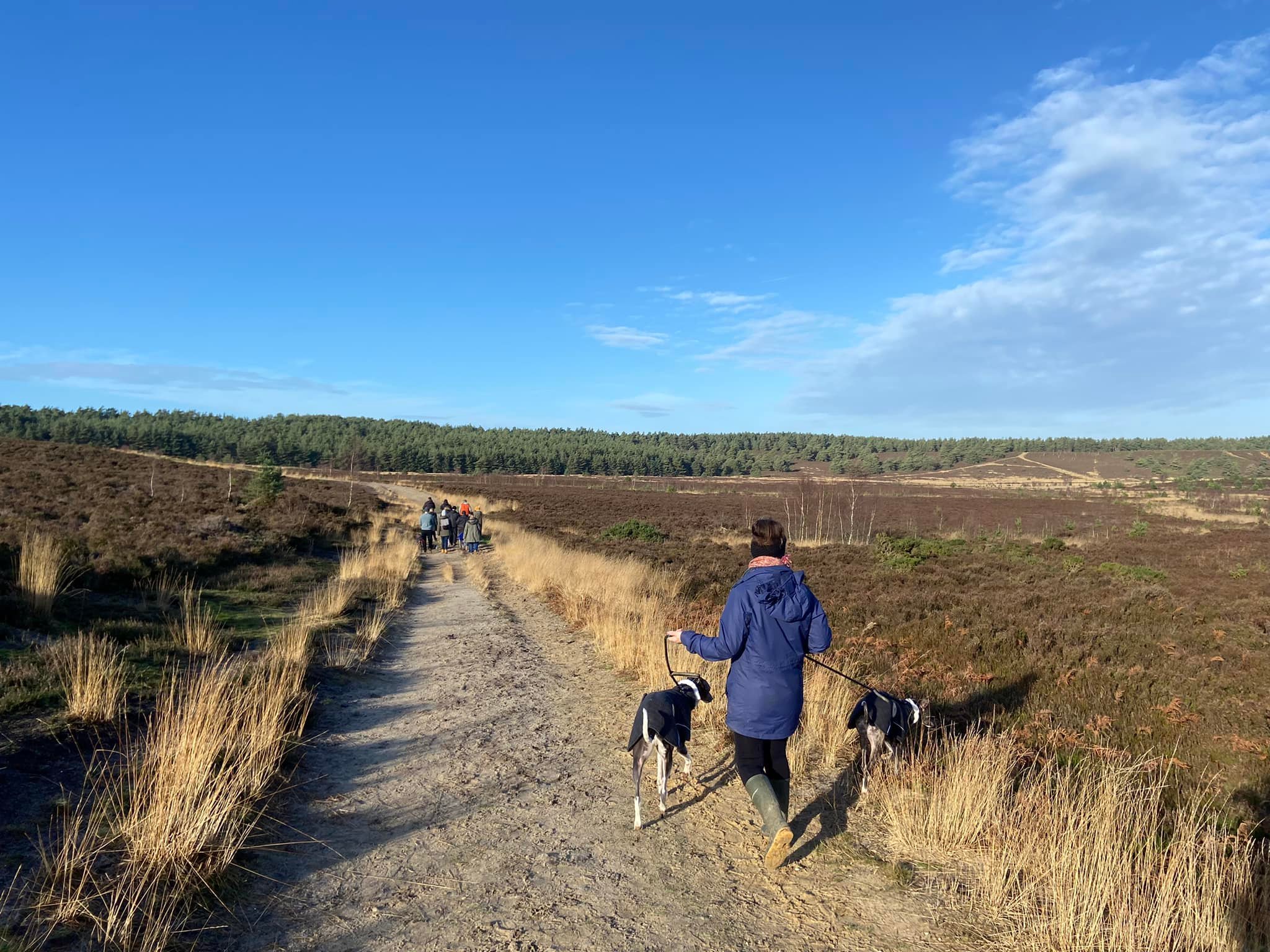
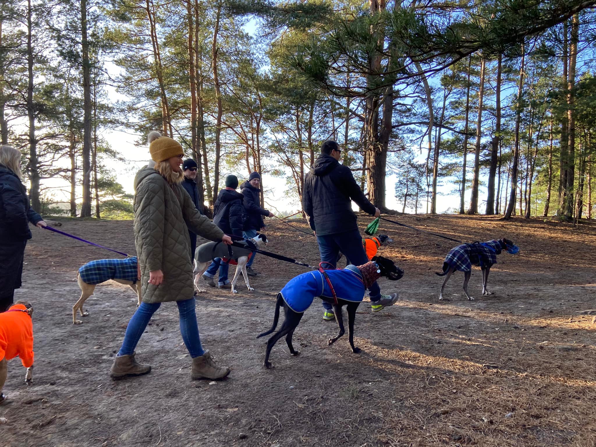
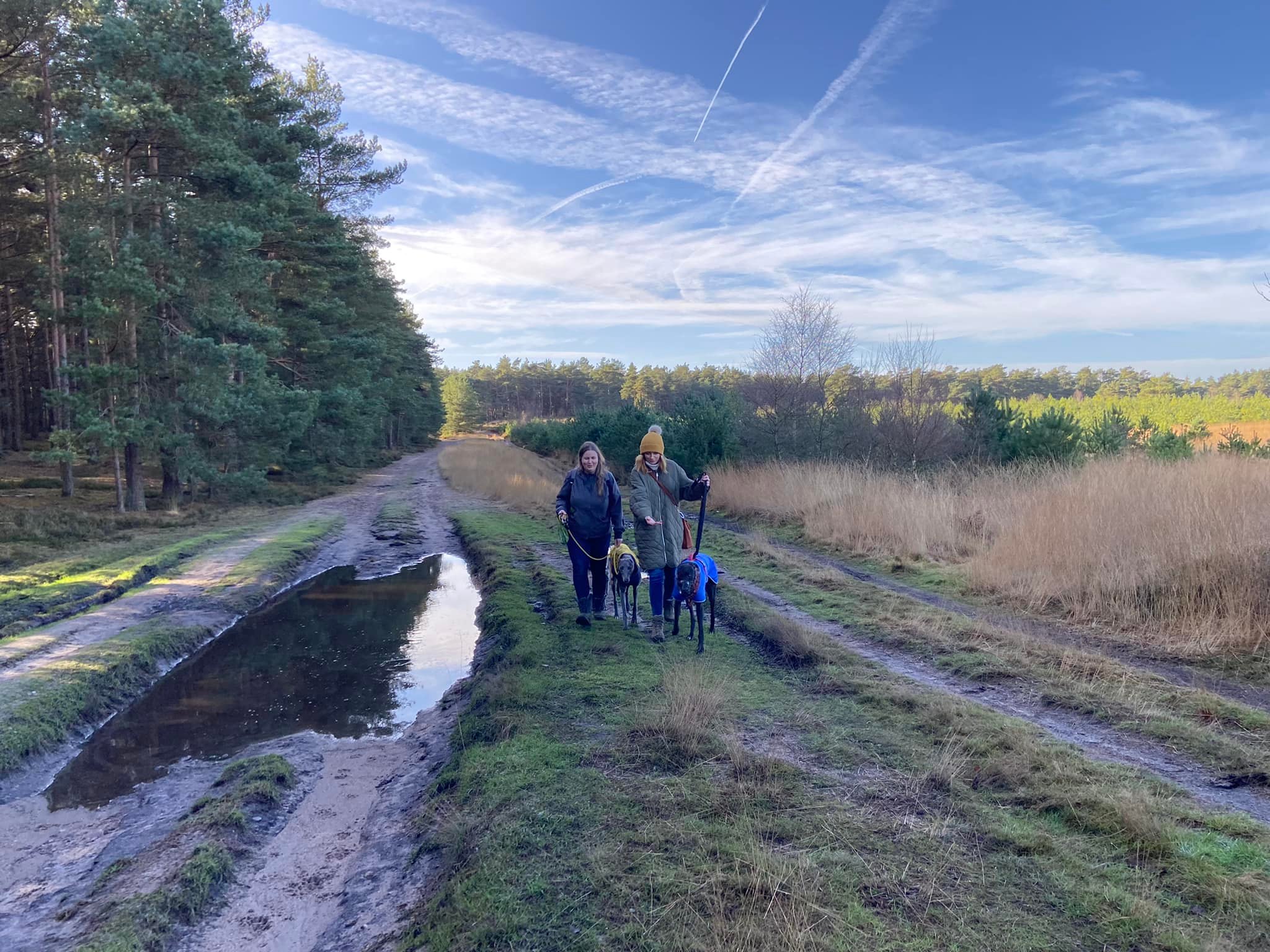
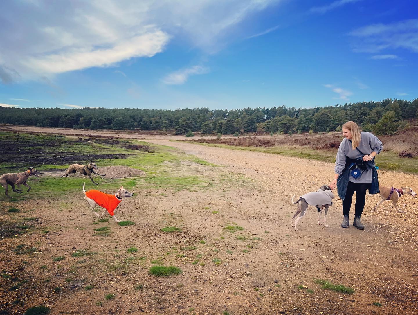
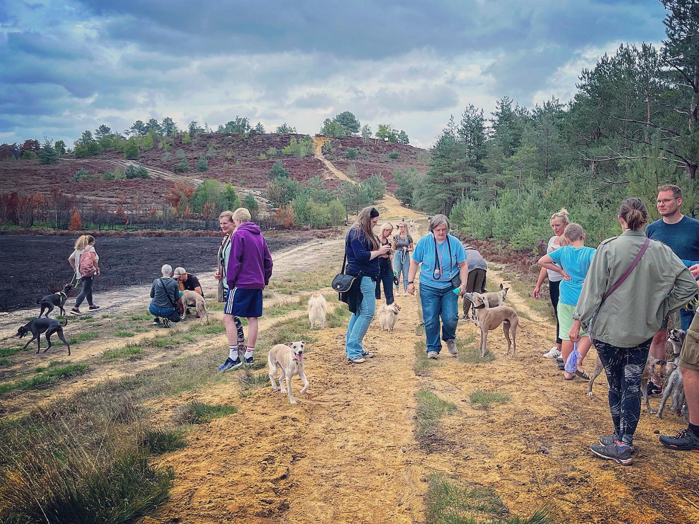
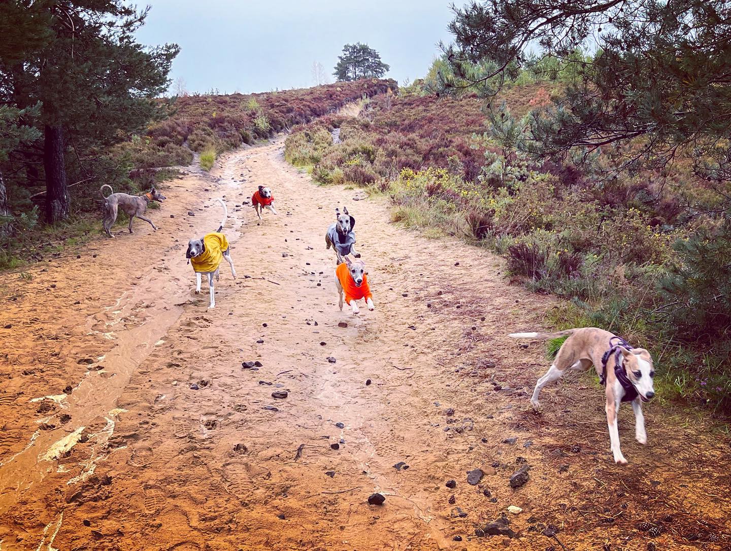
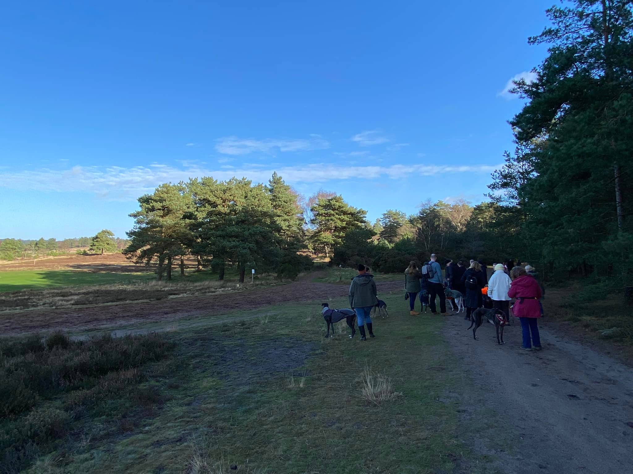
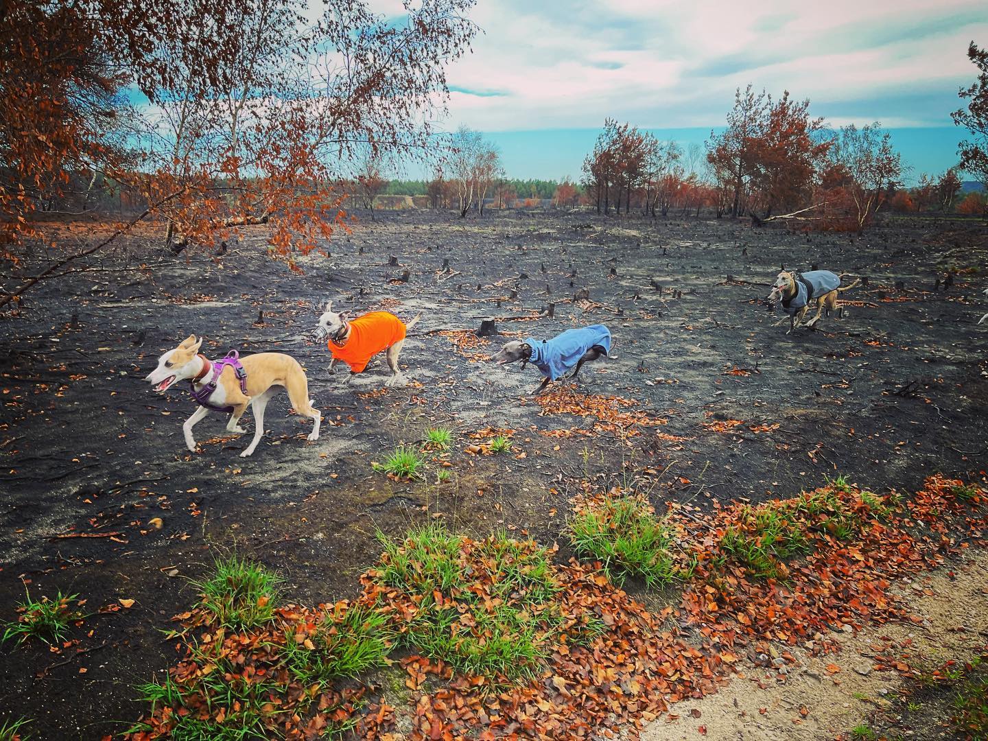
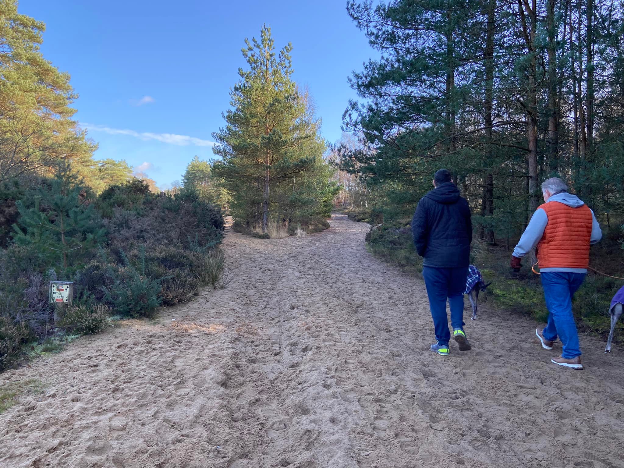
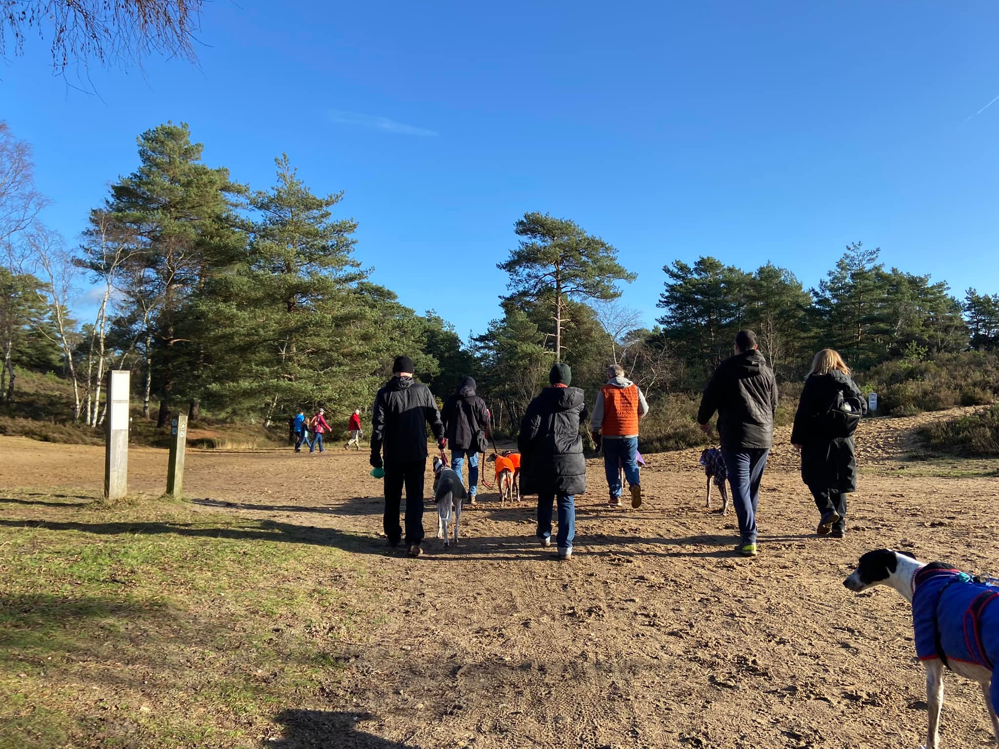
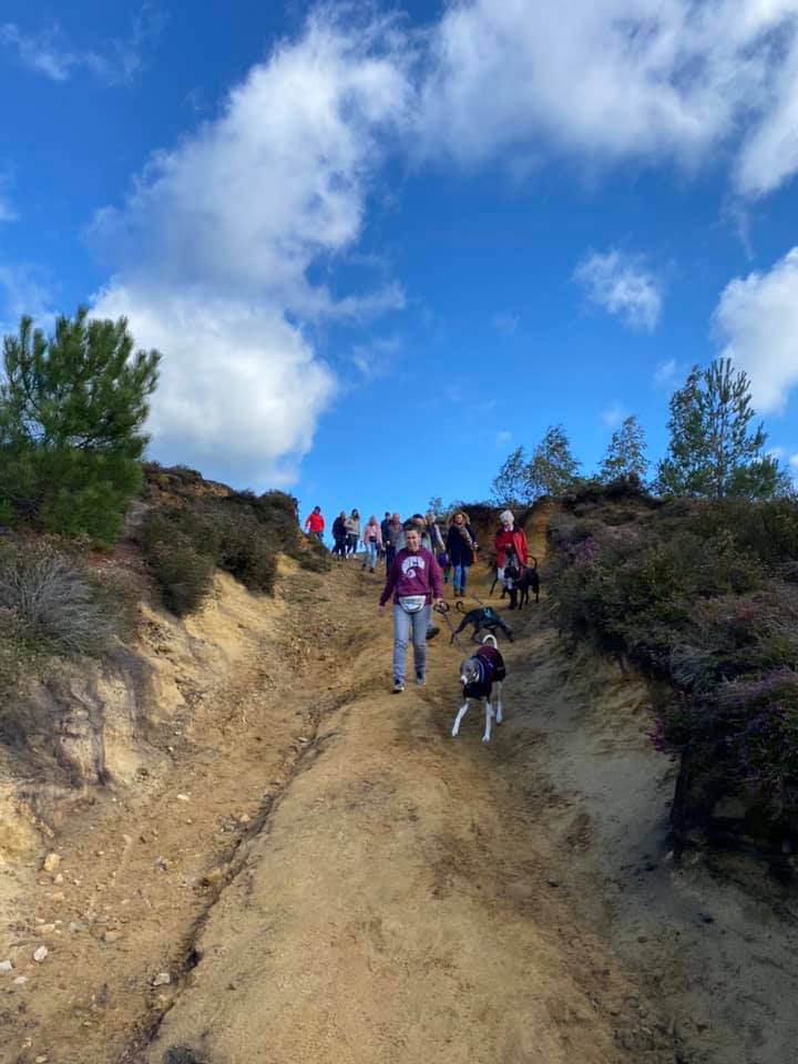
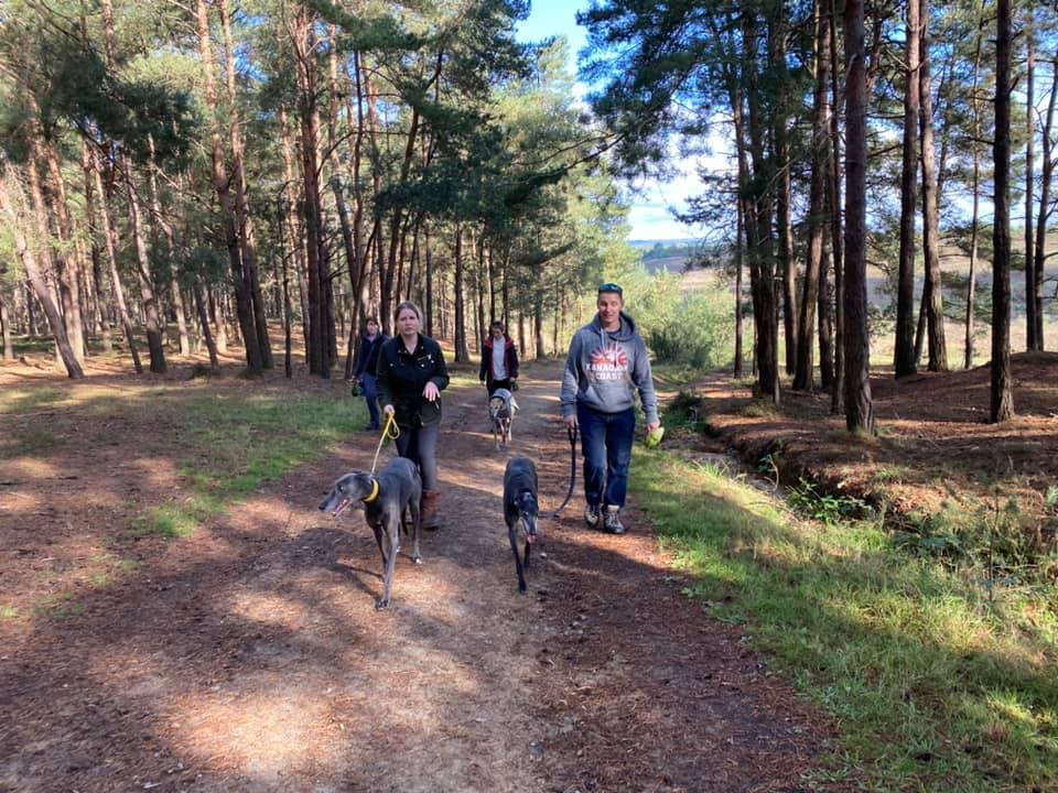
Gallery: What’s it like here?


Instagram reels showing here
Parking
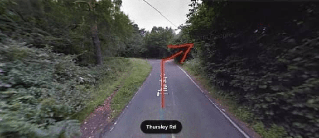
The car park most people use for the area is up on the hill at the end of an access road off the Thursley Road that runs out of the village of Elstead. The access road comes off the sharp reverse s-bend.
Car park closures: Sometimes the MOD closes the car park when training or filming is going on. You can check for dates of closures online.
GOOGLEMAPS LINK: https://goo.gl/maps/ygDYQK2tvcFzpB469
WHAT3WORDS: clapper.pylon.values
NEAREST POST CODE: GU8 6LW, which brings you to a point on Thursley Road that is quite near to where you need to be but not exactly the right place.
Additional directions to help you find the car park
If you are coming from Elstead, drive past The Moat Car Park (this will be on your left) and shortly after, you will come to a sharp S bend in the road. First, it will go round to the right and, as it then turns to the left, you will see a small road/track coming off on the right. Take this track all the way up to the end, where there is a metal barrier across the way and you’ll see large metal gates and an entrance to a large car park.
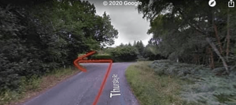
If you are coming via the small village of Thursley (passing the Three Horse shoes pub on the left as you enter the village and a cricket green on the right as you exit it), you’ll continue along the small windy lane and at the top of this, you will turn right onto Thursley Road. Drive down Thursley Road until ahead you see the road bend to the right. On this bend, you will see a small road/track on the left. This is the track you want – take it all the way up to the end, where there is a metal barrier across the way and you’ll see large metal gates and an entrance to a large car park.
Poo bins?
There are a couple of poo bins at the rear of the car park by the steps.
Self-guided walk
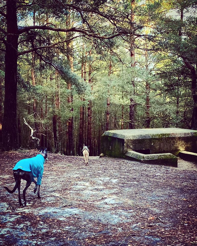
Here is a Footpath app route for Hankley Common. Also on AllTrails. This route starts at the main car park, which is at the end of the access road, through a vehicle barrier to the left. This route takes you along the top ridge where you can enjoy stunning views, before heading down to the lower heathland and then up into woods. You’ll pass a WWII bunker and the reconstruction of the Atlantic Wall, which was built in 1943.
Length: approximately 2.7 miles/4.4km
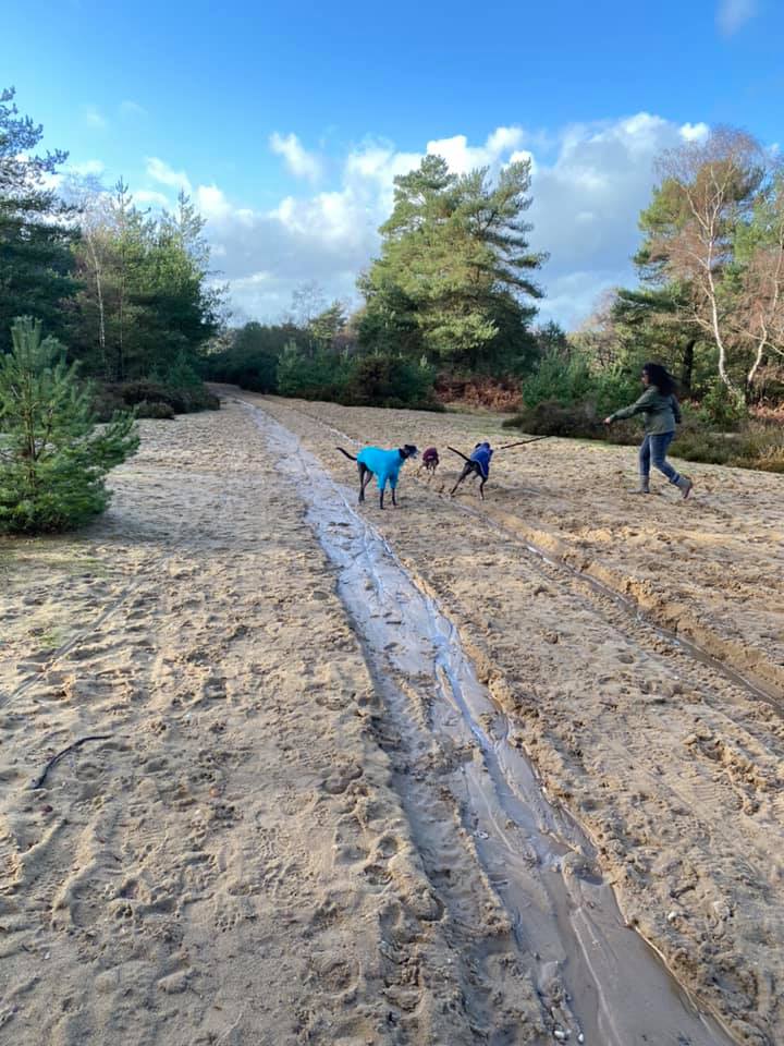
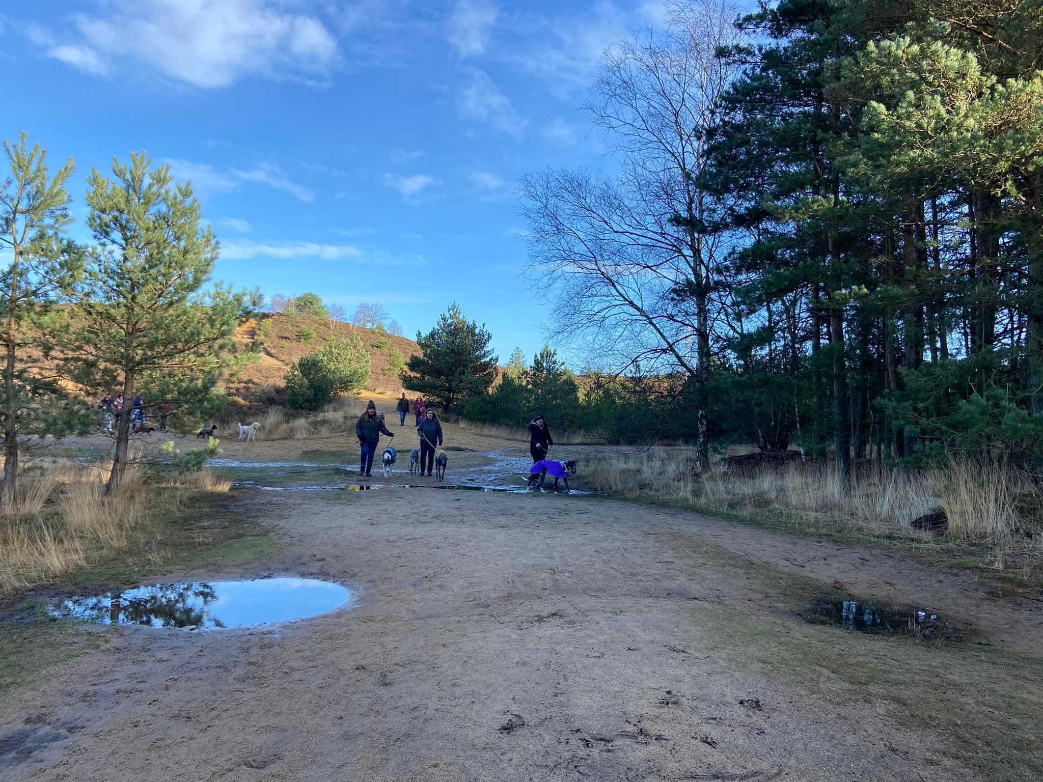
Terrain: A few steep and unavoidable slopes (the steepest of which are downhill) but long flat straights between them. The ground is sandy and can be loose underfoot, but also can be very wet in the winter with surface run off to wade through! The route is partly out in the open, partly through woods, and skirts the golf course.
Stiles/kissing gates? No stiles, no kissing gates

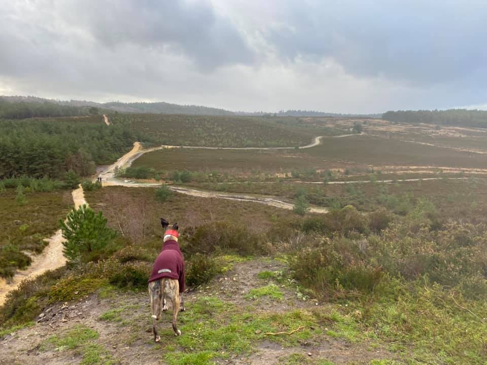
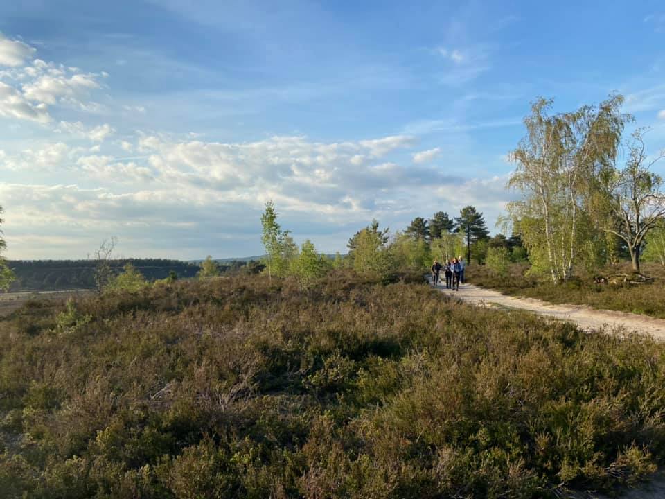
Take the steps at the back of the car park next to the poo bins. These lead you up through trees to the top ridge. It’s open and grassy here and there is a clear path ahead. Follow this straight, ignoring any side paths. You’ll come to a fork – opt for the right-hand path and follow this to a sort of cliff-edge with a fantastic view over the lower-lying ground to your right – you’ll know what I mean when you see it.

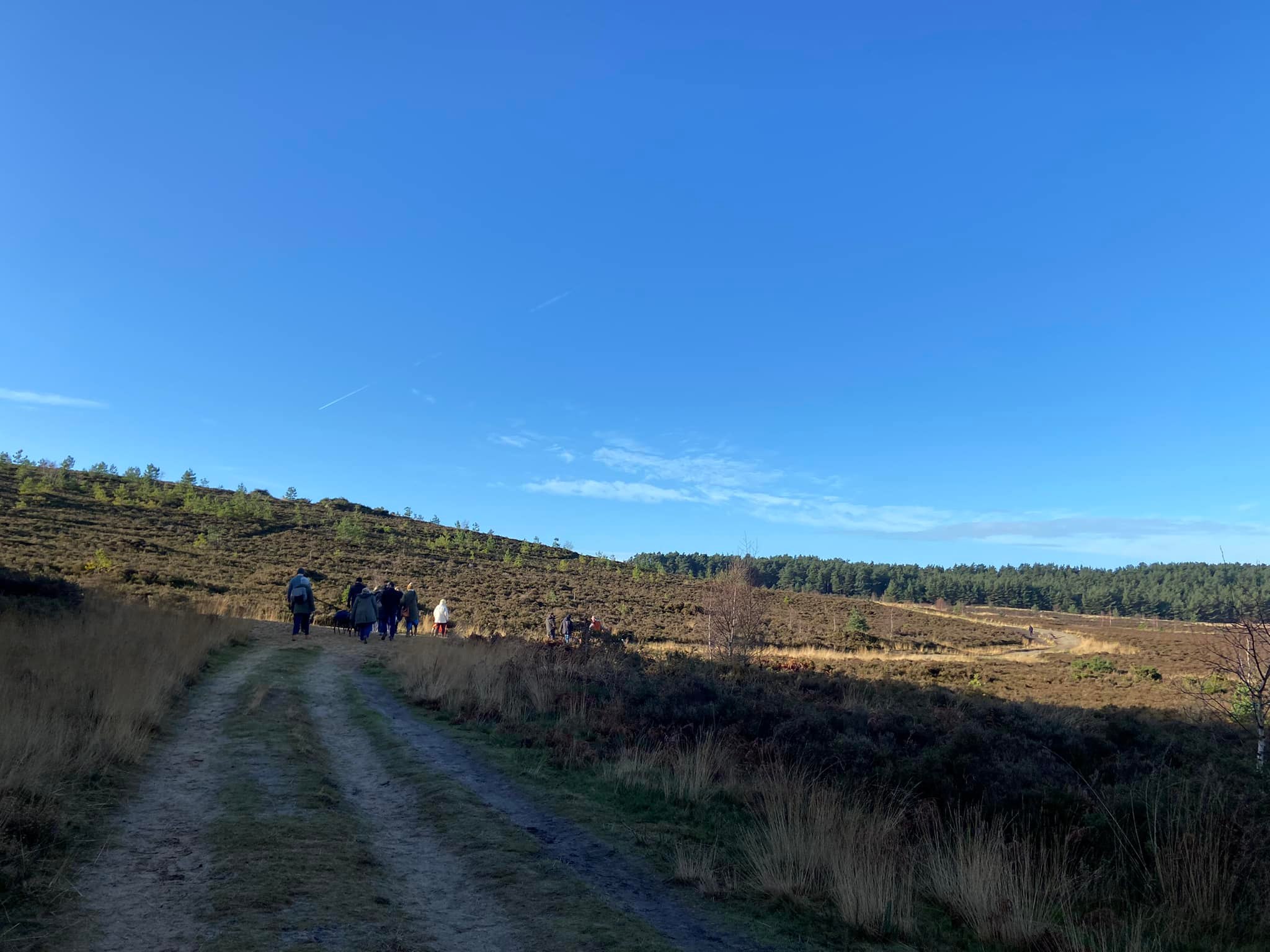
The path then heads down a very steep slope, which is sandy with some stones in but usually pretty loose underfoot so take care.
When you reach the flat, you’re at a large cross paths/junction. Continue ahead here. The path is very wide and will start to slope uphill. At the fork, take the one on the right that bends to the right on largely the same level, whereas the fork on the left continues uphill. After the bend, the path is straight for a short stretch, then winds left, right, left as it rises up before straightening out as it heads towards the tree line in the distance.
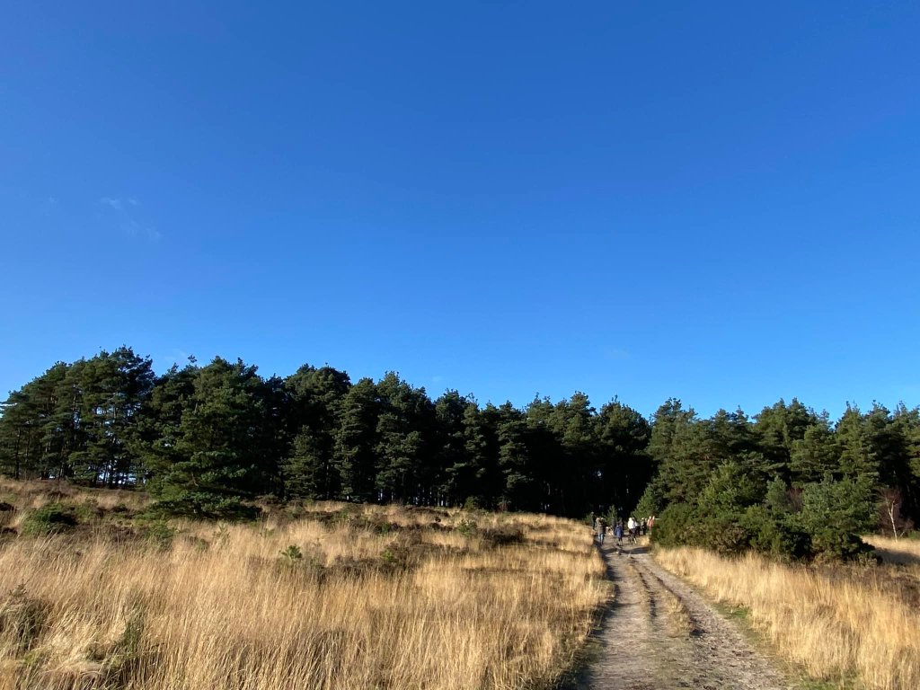
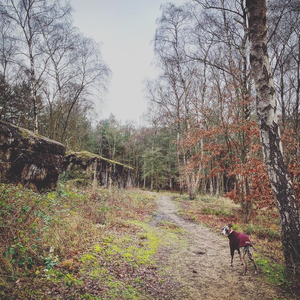
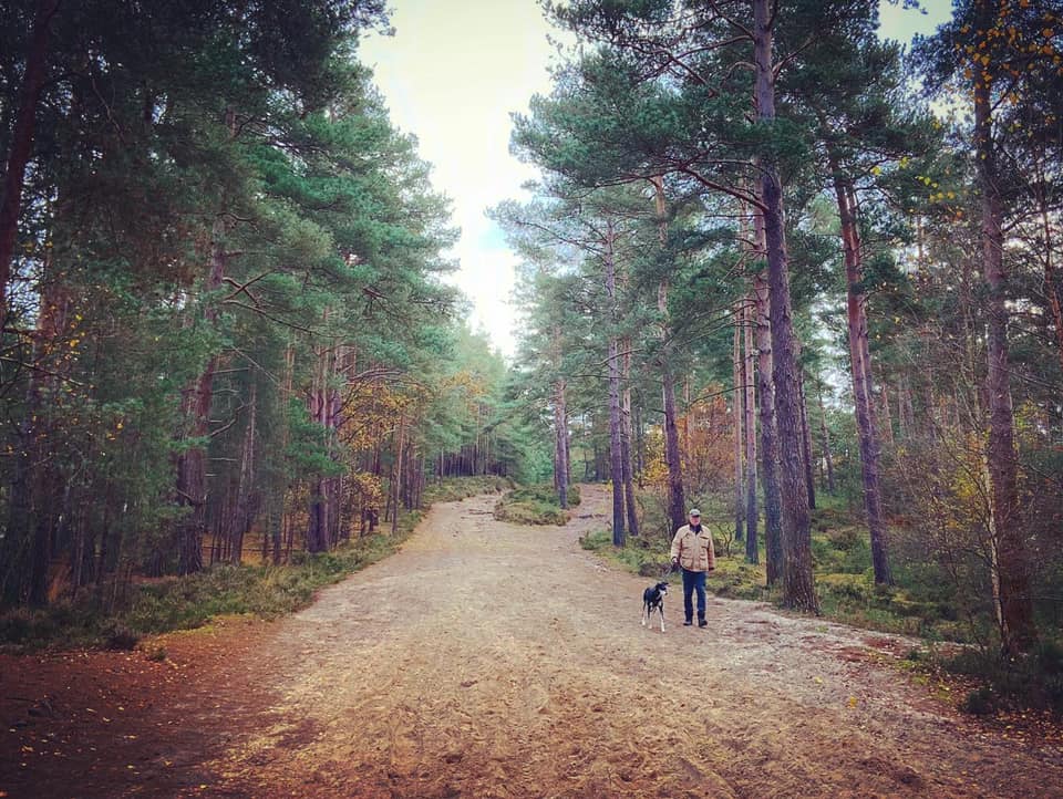
Turn left when you reach the trees and head into the wood. You’ll be going up a slight incline here with tall trees on either side.
At the T junction at the end, you’ll be up on another ridge. [By the way, if you turn left at the top and walk along a bit, then look down from the ridge to the open land sweeping away to the right, you’ll be surveying the site of a 1932 air accident. In July of that year, a Puss Moth aircraft carrying Mrs. Emily Bossom, Bruce Bossom (the American wife and eldest son of politician Alfred Bossom), and Count Otto Erbach-Fürstenau, broke up in mid-air. At least two of the occupants fell to the ground and the stones mark where they fell. While this route doesn’t go near the memorials and you can’t see them from where you are standing, I thought you might be interested.]
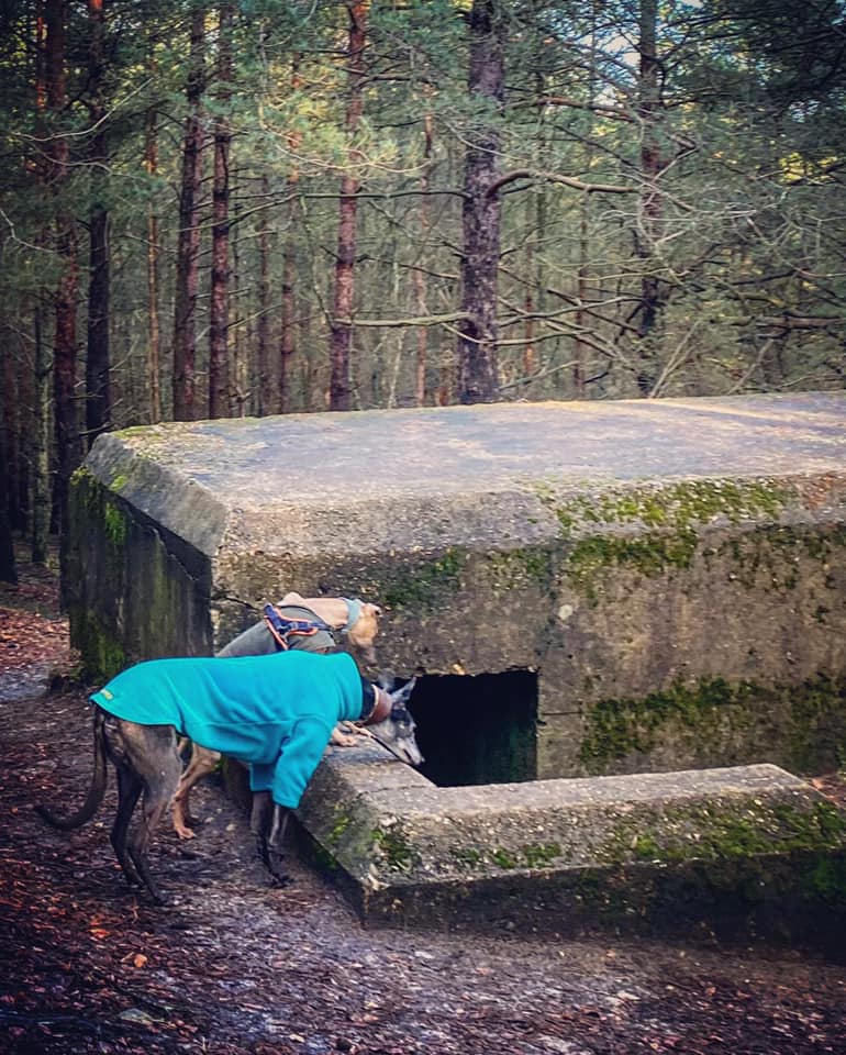
Anyway, at the T junction at the top of the little slope, turn right. You are now on Kettlebury Hill. Walk straight ahead on this wide path for quite a way and keep an eye out to your right as, shortly, set back from the path there is a WWII concrete-faced pill box. Sunken about 4ft into the ground, its walls are approximately 1ft thick and there is one viewing/rifle aperture in the south-east wall. Apparently the trees that surround it would not have been here in the 1940s.

When you’re finished looking at the pill box, continue ahead until you come to a clear fork in the path (it is by a post on the right.) Take the left-hand fork here, continuing through the trees with the path curving to the left.

The path is high and flat through trees for a short way but you’ll soon head down a wide, sandy slope. At the cross paths at the bottom, turn right. This path is also wide and sandy, and kind of undulating. Follow it up and down to the next large junction of paths and there’ll be a golf course on your left. Turn right and skirt the treeline (on your right), heading away from the golf course. Just after a little Esso-fuel marker sat in the gorse and heather on the left, this sandy path forks and it doesn’t really matter which you take as they join again but take the right-hand one and you’ll see the reconstruction of the Atlantic Wall looming large to your right. This area of the common is called the Lion’s Mouth and the wall you see here was built by Canadian troops in 1943.


The original Atlantic Wall was actually a series of bunkers and beach obstacles stretching from Norway to the France-Spain border created during WWII by the Germans to defend the Nazi-occupied west of Europe from an anticipated Allied invasion. This replica, which is around 330ft long, 10ft high and 11ft wide, served as a training ground for the Allies to develop techniques to breach the German defences prior to the D-Day landings. Dotted around this area, you may also notice pyramidal blocks made from reinforced concrete – these are known as ‘dragon’s teeth’ and are replicas of fortifications designed to immobilise tanks by lifting their treads off the ground from below.
Thank you for coming to my history lesson.
Now, with the Atlantic Wall still on your right, continue ahead on the sandy path and you’ll come to an open area where a number of paths meet. There are a couple of wooden posts on the left-hand side, one taller and wider than the other. Continue straight ahead here and onto the path ahead, which also has a post on its left-hand side.

Follow this path as it gently slopes down and round to the right, then round to the left, then straight ahead and it’ll meet a tarmac road. Look to your right and you will see army buildings. Turn left onto the tarmac and follow the road as it bends round to the right and goes up hill. You may sometimes come across military vehicles and coaches of cadets on this road but not often. When you reach the brow of the hill, you’ll see a vehicle barrier ahead and the car park is on your right.
