
Page contents
About
Gallery
Parking
Poo bins?
Self-guided walk
About
Norbury Park was originally one of three manors owned by King Edward the Confessor until the Norman invasion of 1066 and it was alluded to in the Domesday Book of 1086. It occupies mostly prominent land reaching into a bend in the River Mole.
William Lock bought the estate in 1774 and had the mansion built in the crest of the hill commanding beautiful scenery. In 1848, the house was sold to Thomas Grissell, who allowed the railway to be built through the park in exchange for £10,000 – a pretty penny at the time. It was later owned by Sir Edward Mountain, who founded Eagle Start Insurance, which famously insured the Titanic.
Norbury Park estate was the first open space to be purchased by Surrey County Council – in 1930 – to save it from development, the first intervention of its kind to protect the countryside in England.
Today, its 530 hectares of mixed wooded and agricultural land is managed by Surrey Wildlife Trust and has an area designated as a Site of Special Scientific Interest. It has Grade II listed status on the Register of Historic Parks and Gardens and is part of the Mole Gap to Reigate Escarpment Special Area of Conservation.
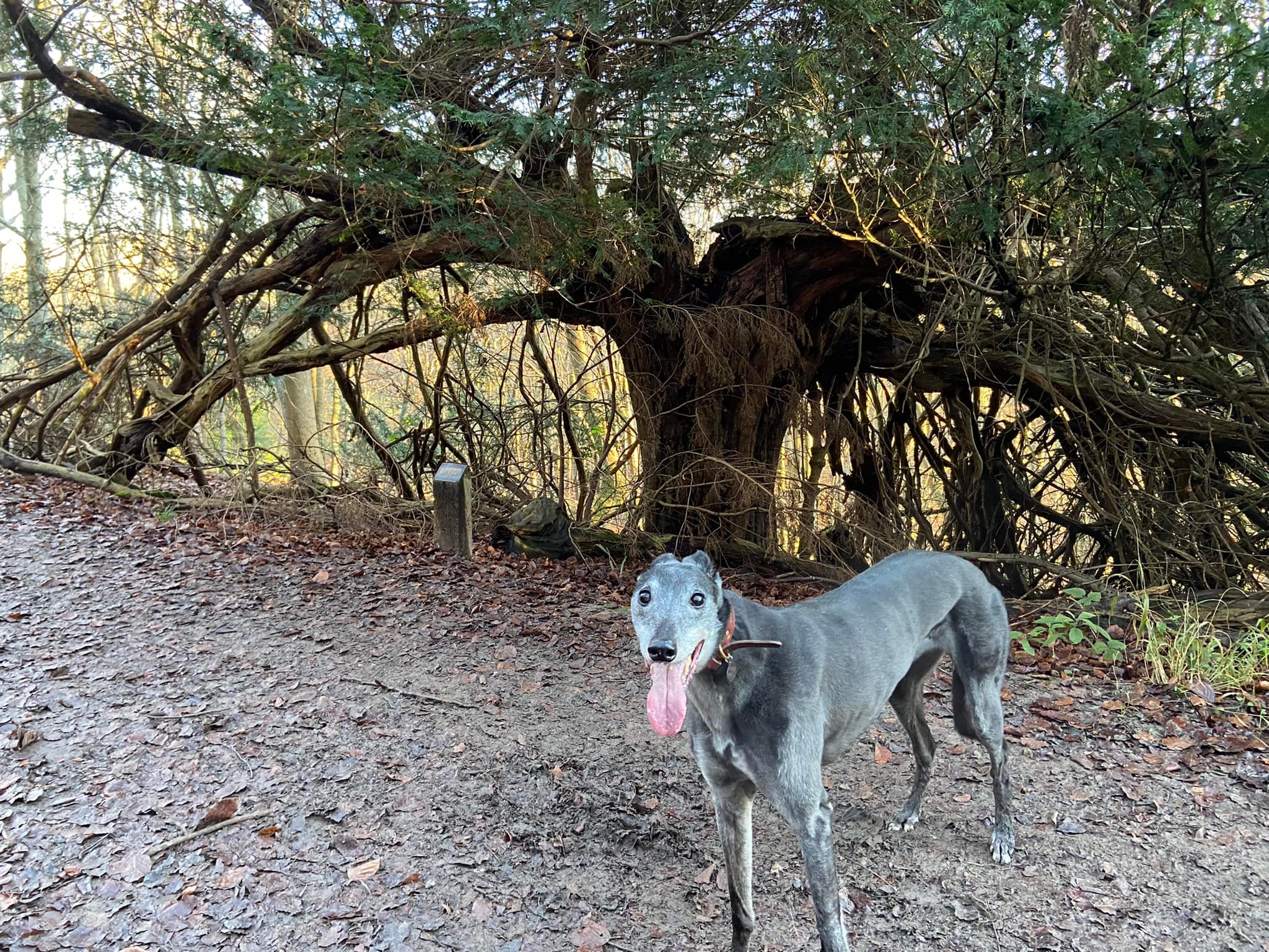
It is home to Druids Grove, a group of Yews thought to be the oldest trees in Britain at around 3,000 years of age. There is also a thriving saw mill in the park (Norbury Park Wood Products), which specialises in oak furniture; and Norbury Park Farm produces Norbury Blue Cheese and boasts that it is the only cheesemaker in Surrey.
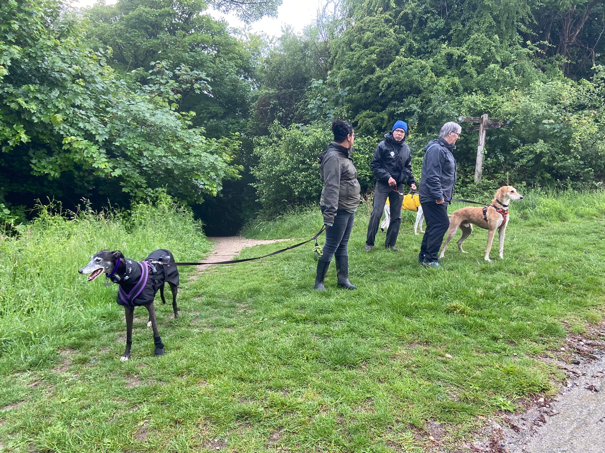
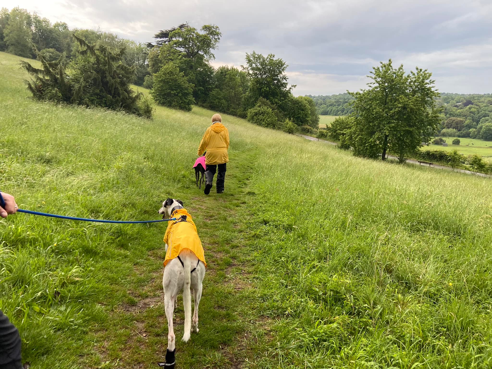
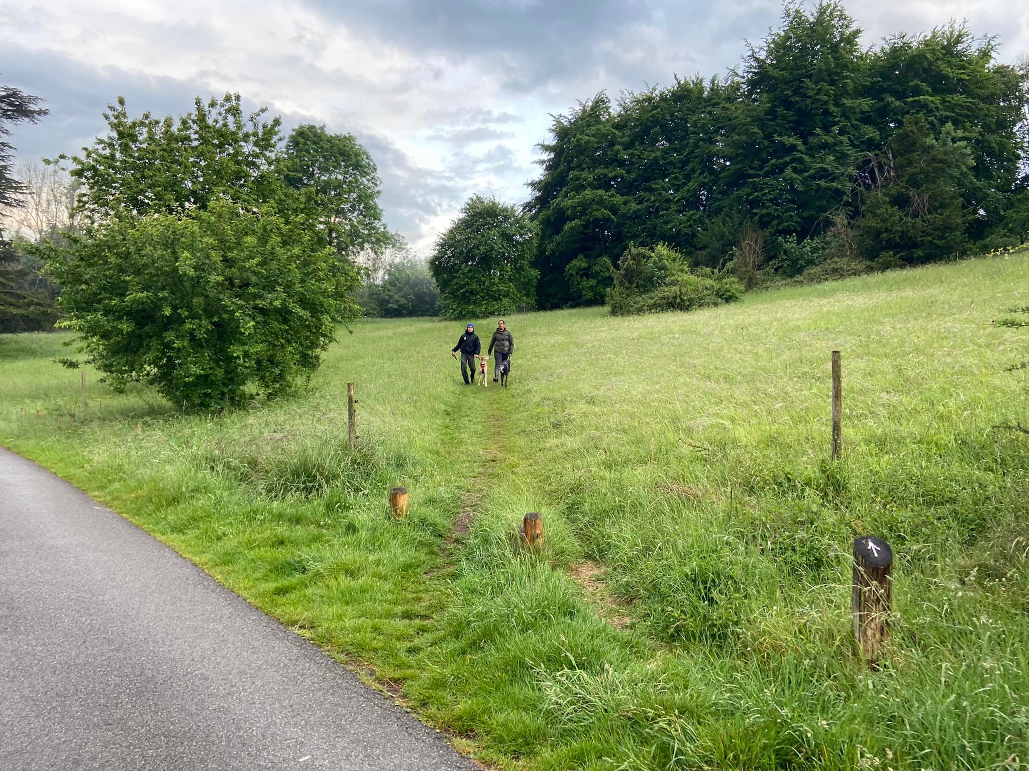
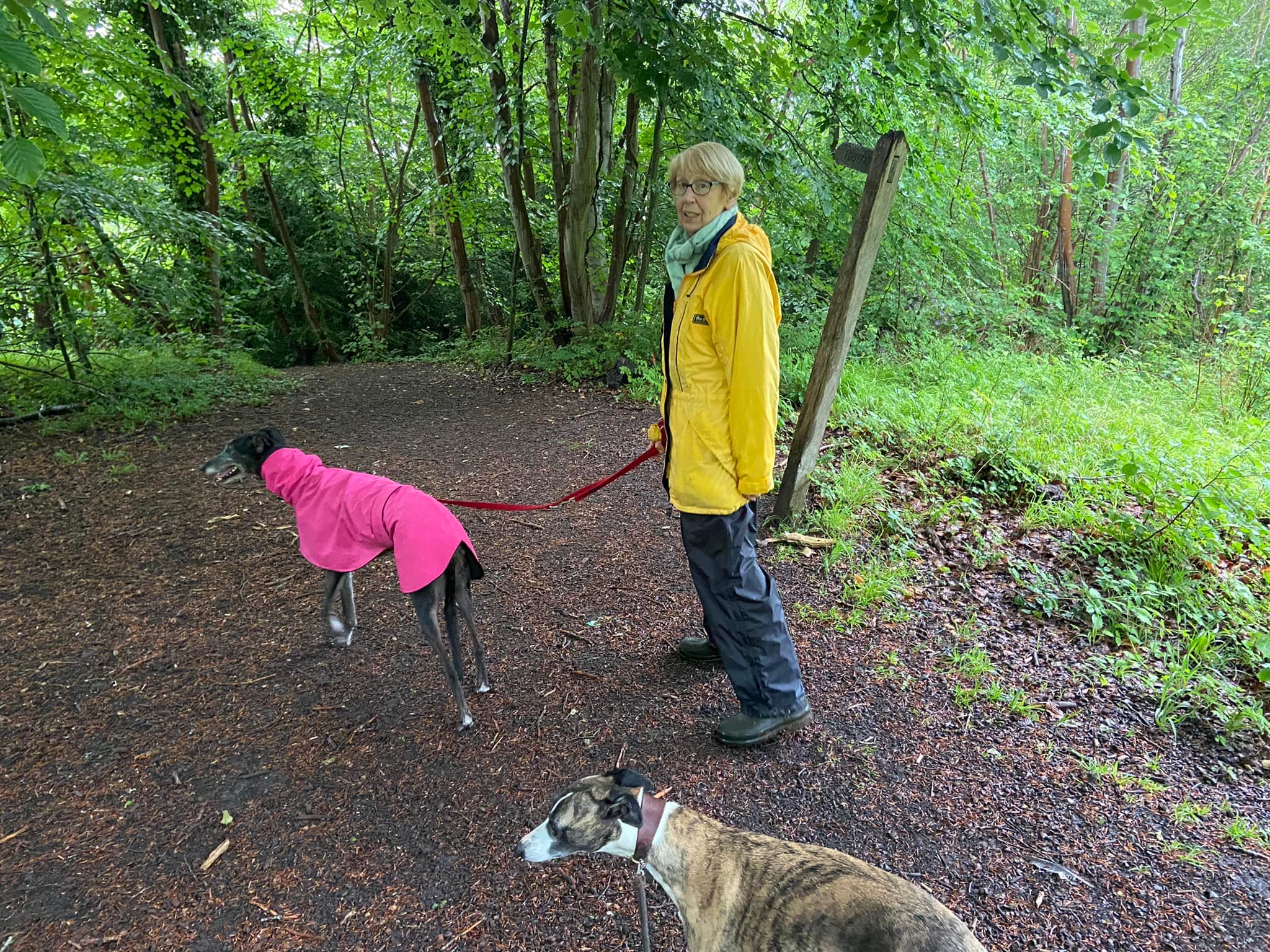
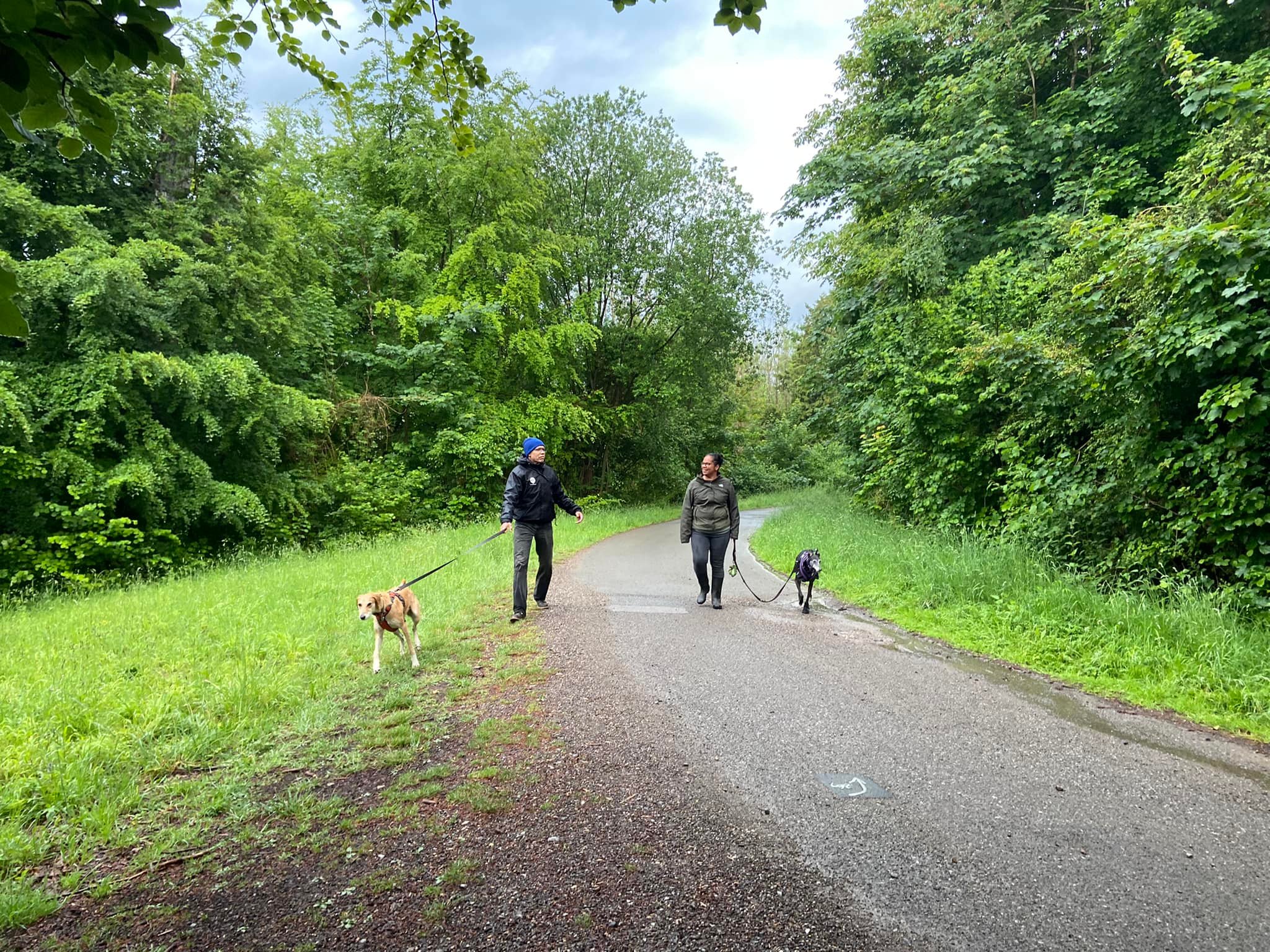
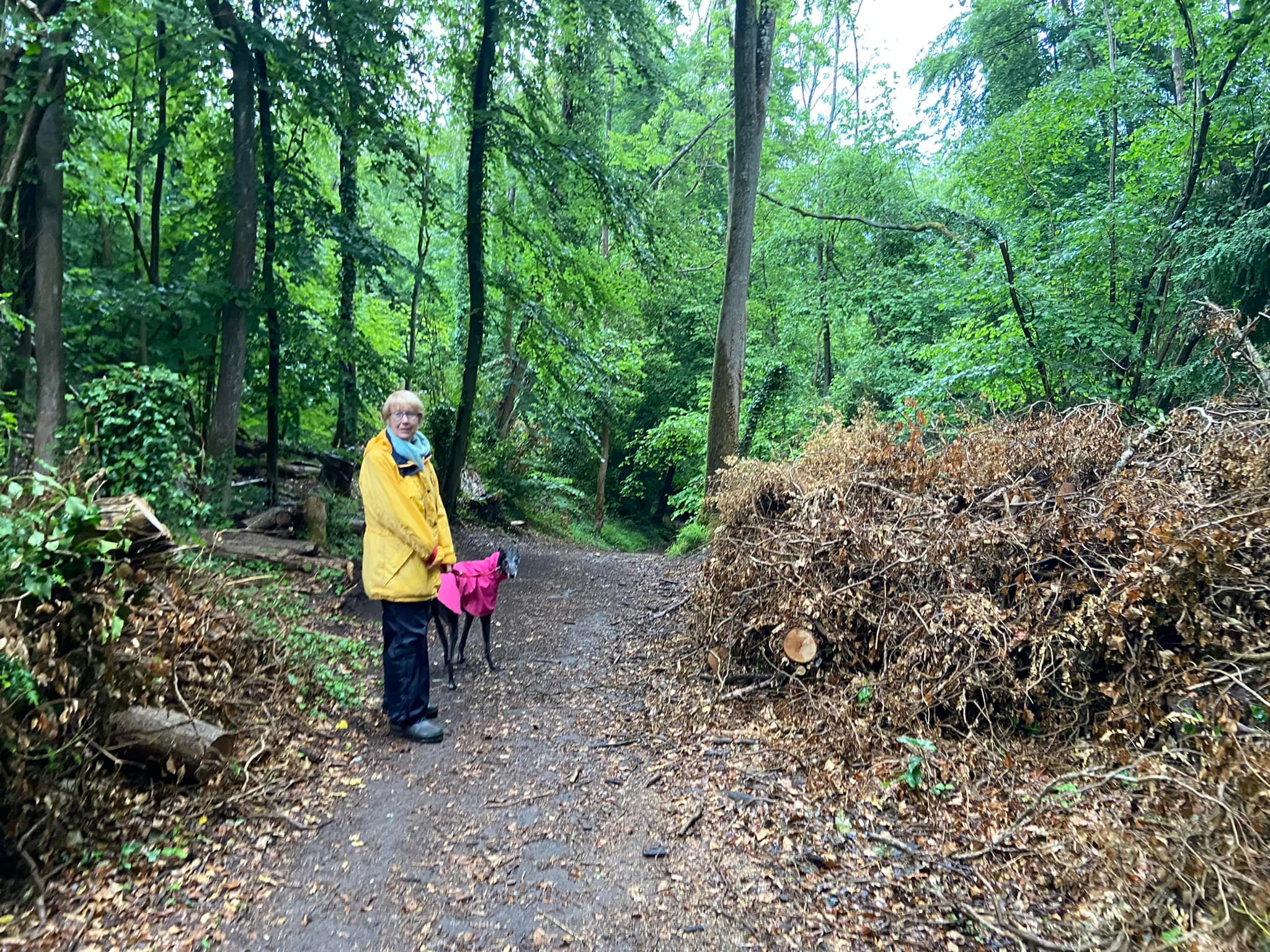
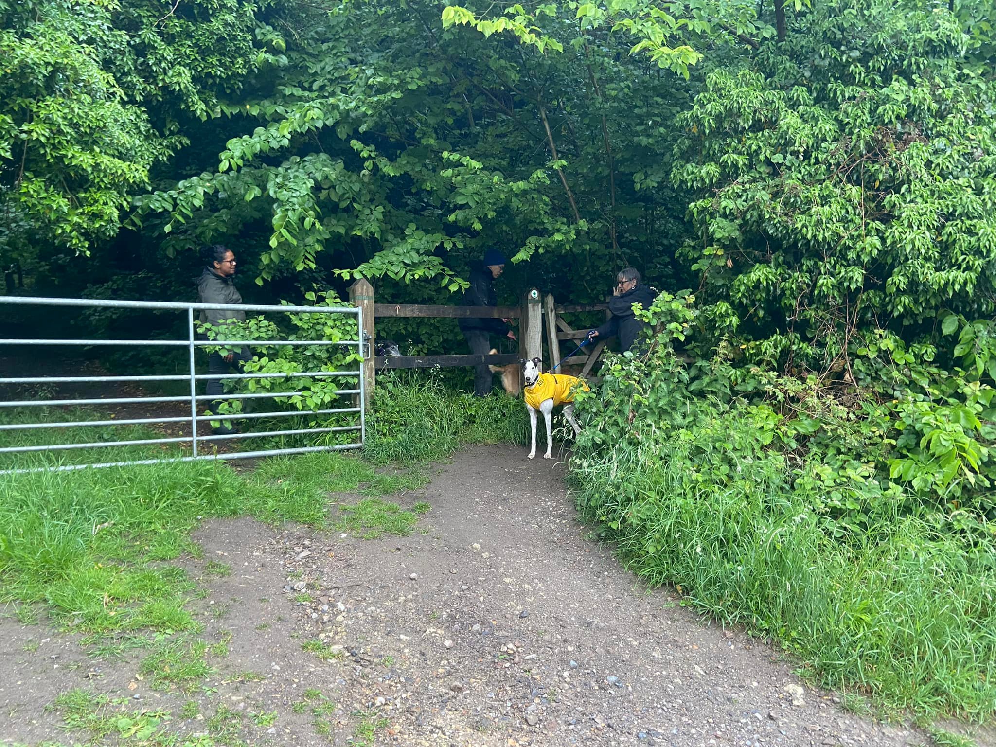
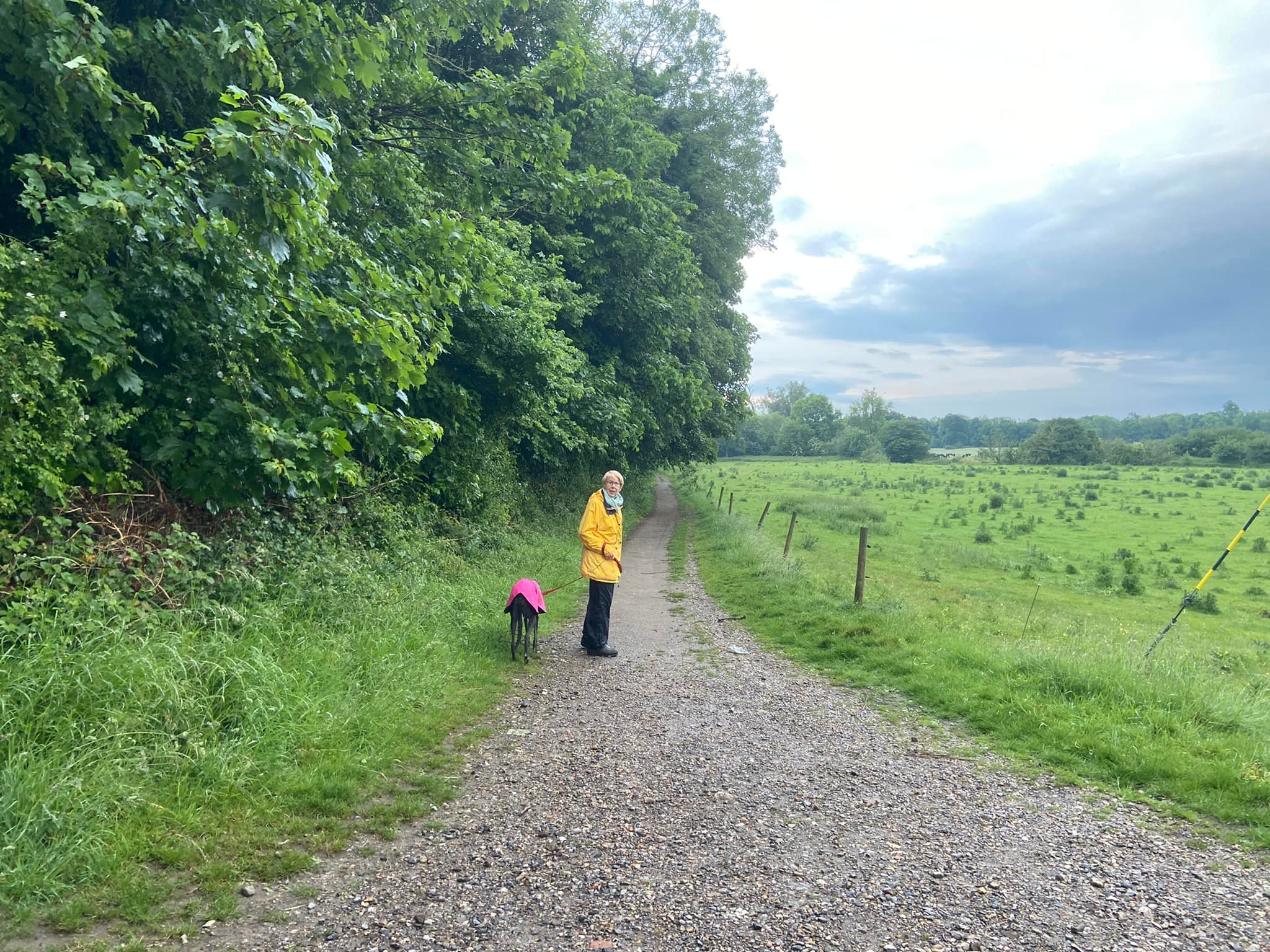
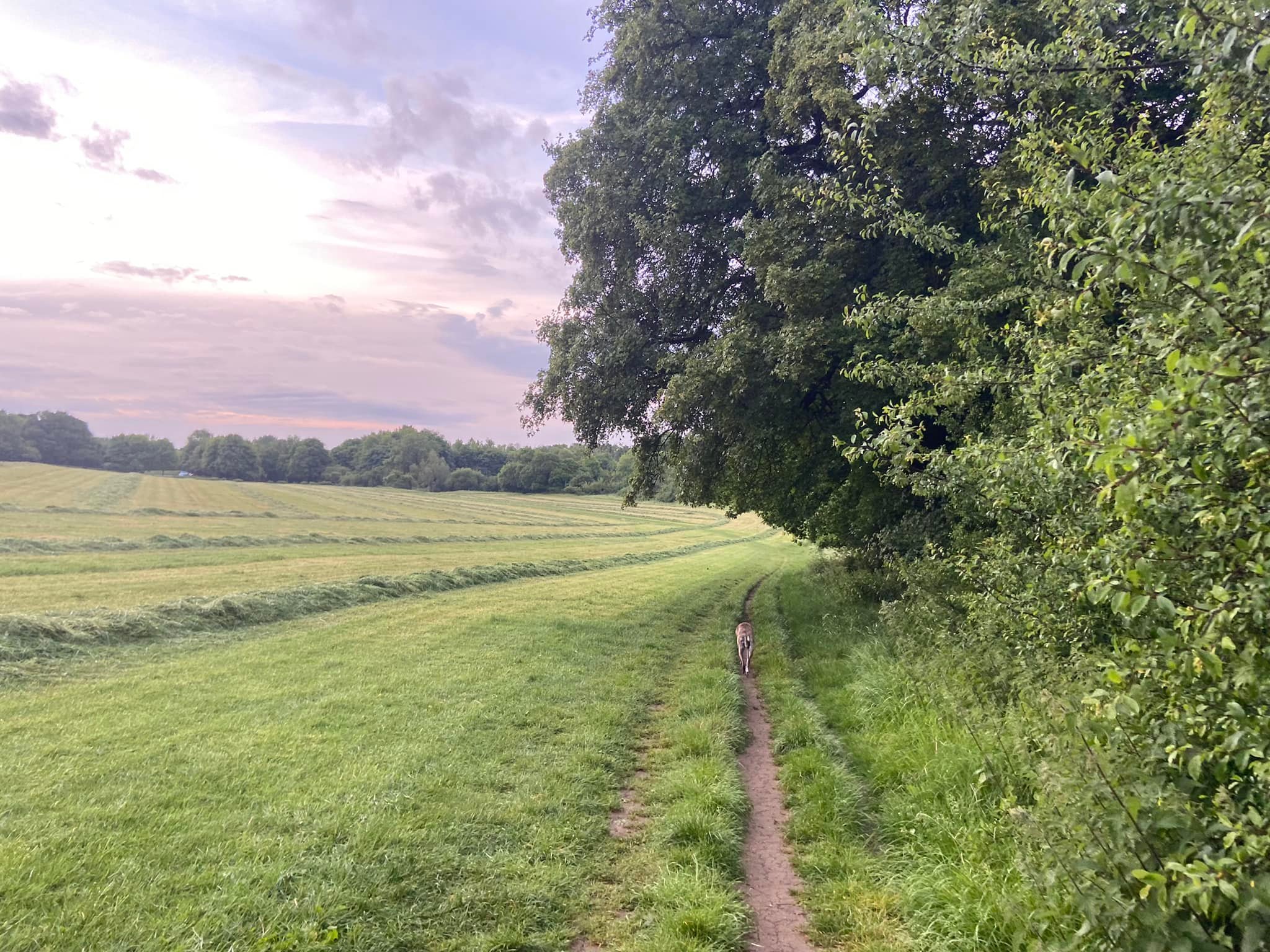
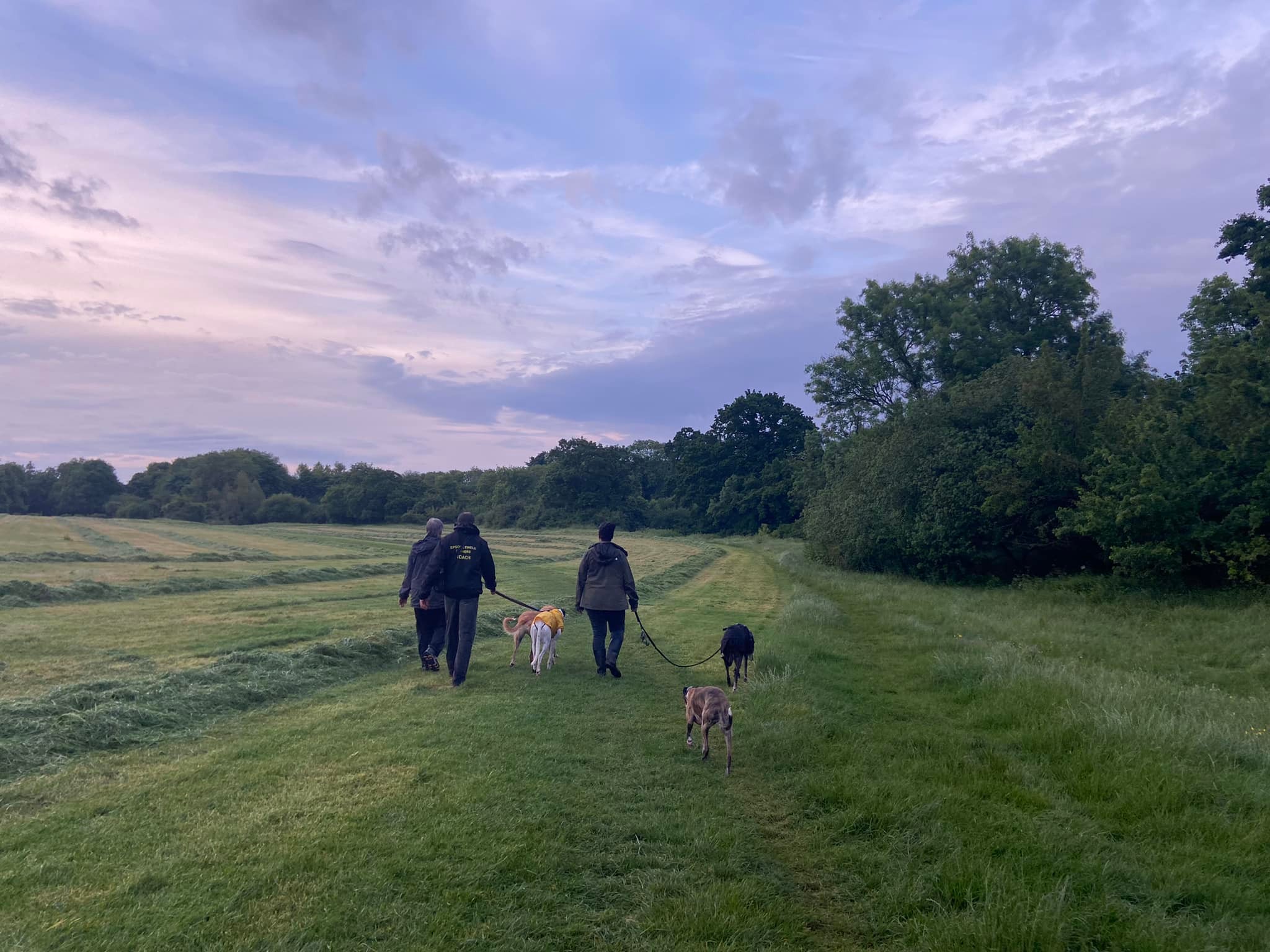
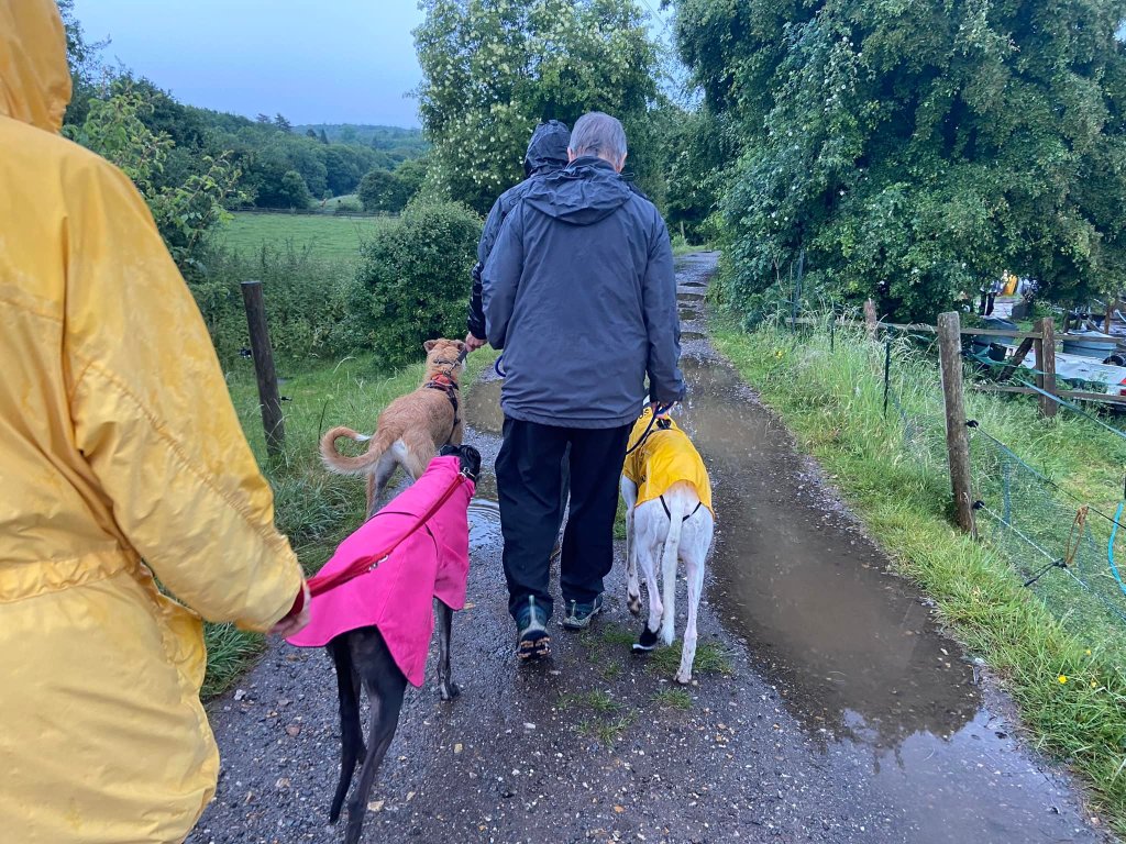
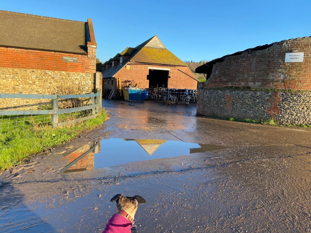
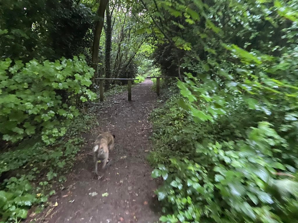
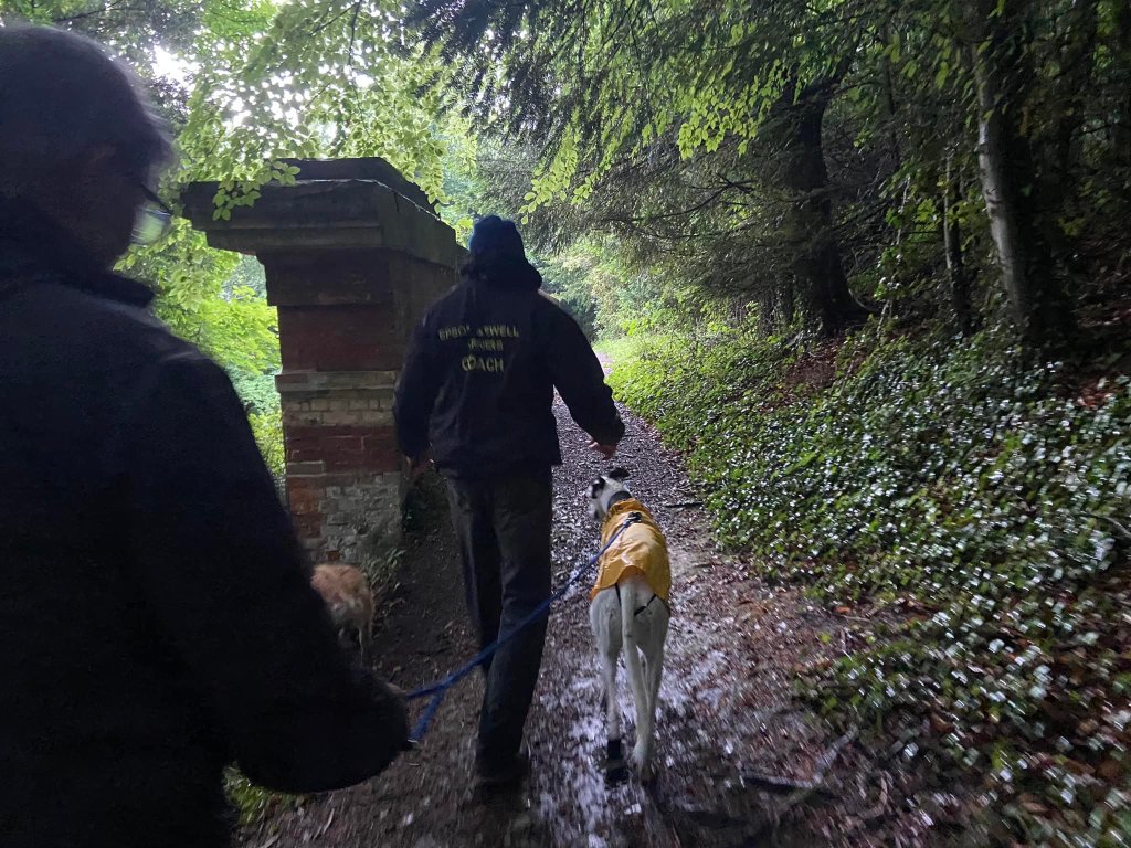
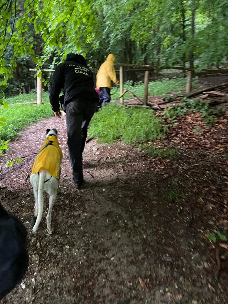
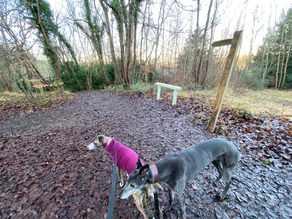
Gallery: What’s it like here?


Parking
There are a few car parks for Norbury Park – Fetcham, Crabtree Lane and the eponymous Norbury Park car park, which used to be known as Young Street car park. All are free. Bocketts Farm Park, a “visitor attraction farm” where kids can interact with farm animals and the like, is at the base of the hill and has a large, free car park that users of Norbury Park do also park in.
Norbury Park car park (formerly Young Street) is a large car park serving the eastern side of the park.
GOOGLEMAPS LINK: https://goo.gl/maps/jK79wR2UBM6GhM5w5
WHAT3WORDS: lame.nest.elder
NEAREST POSTCODE: KT22 9DS
Poo bins?
At the car park.
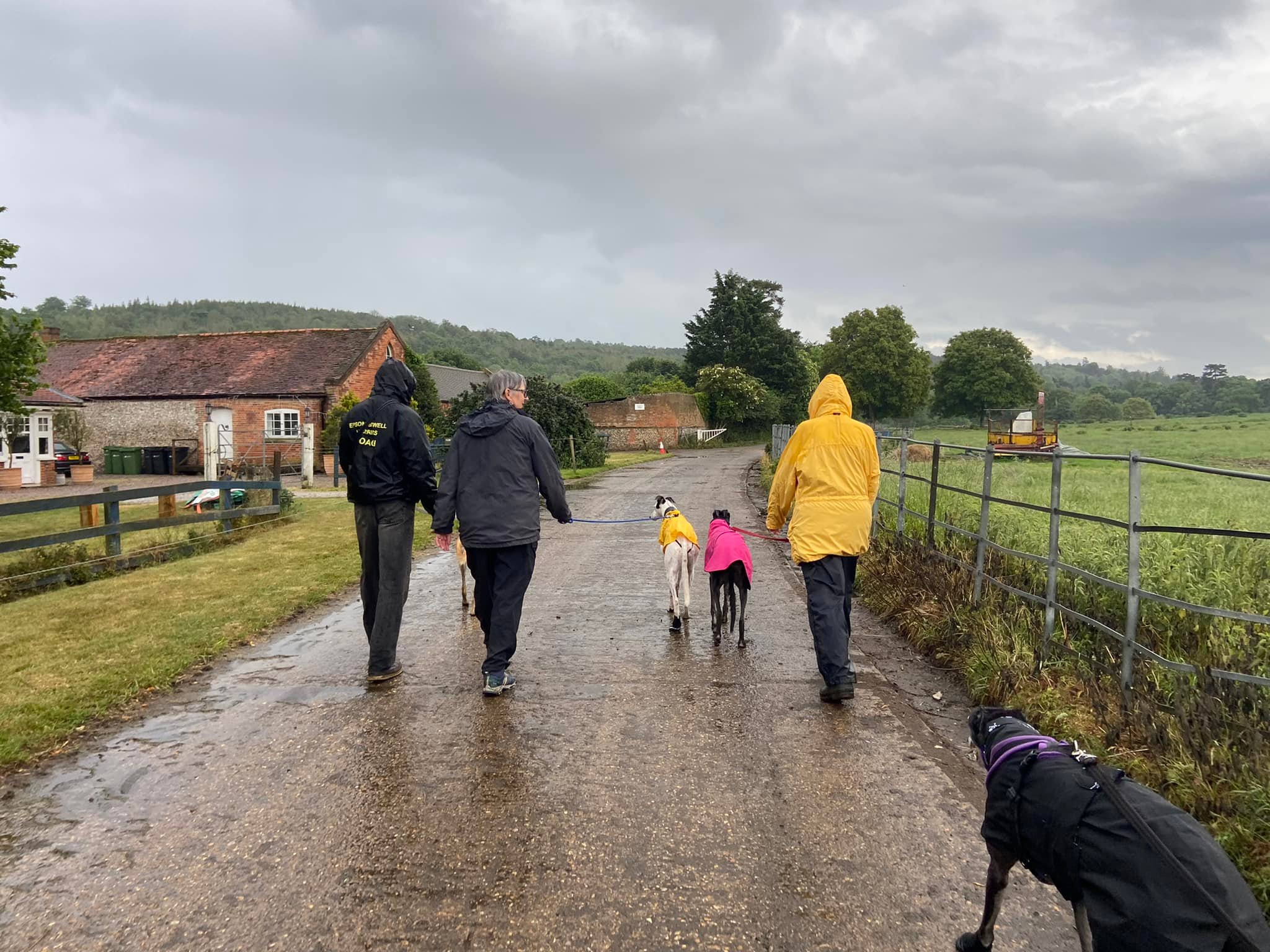
Self-guided walk
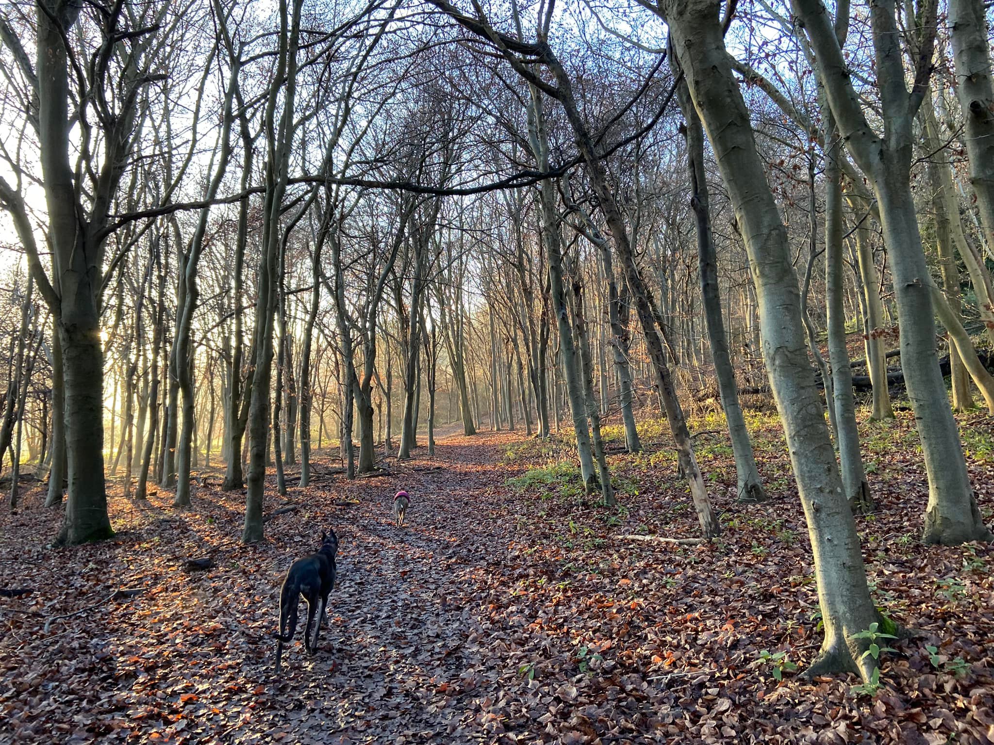
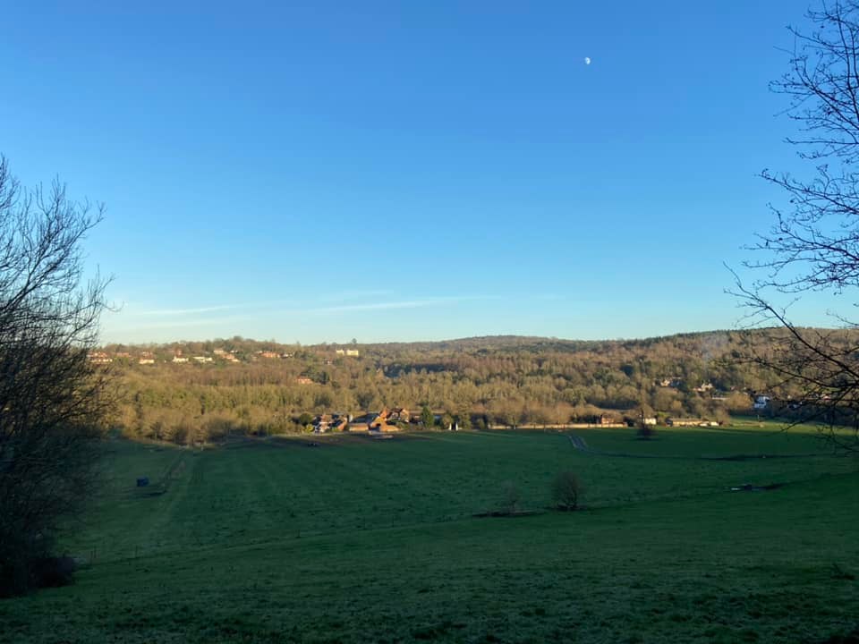
Here is a Footpath app route for the eastern side of Norbury Park. Also on AllTrails. This route starts at the Norbury Park (formerly Young Street) car park. It takes you through a meadow alongside the River Mole, before following a relatively gentle route up the hillside (considering how steep parts of this area can be!) and looping back down again.
Length: approximately 2.9 miles/4.6km
Terrain: Grassy meadow, woodland hillside, quiet lanes. The uphill slope is gentle considering how steep some parts of Norbury Park can be. A few steps to navigate.
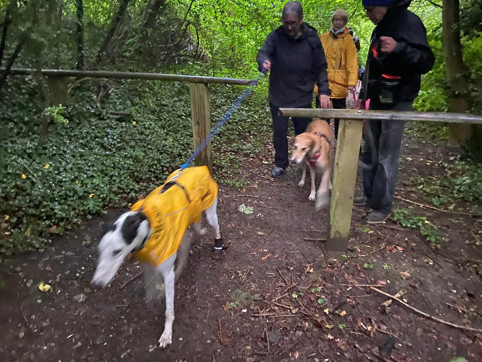
Stiles/kissing gates? Several kissing gates
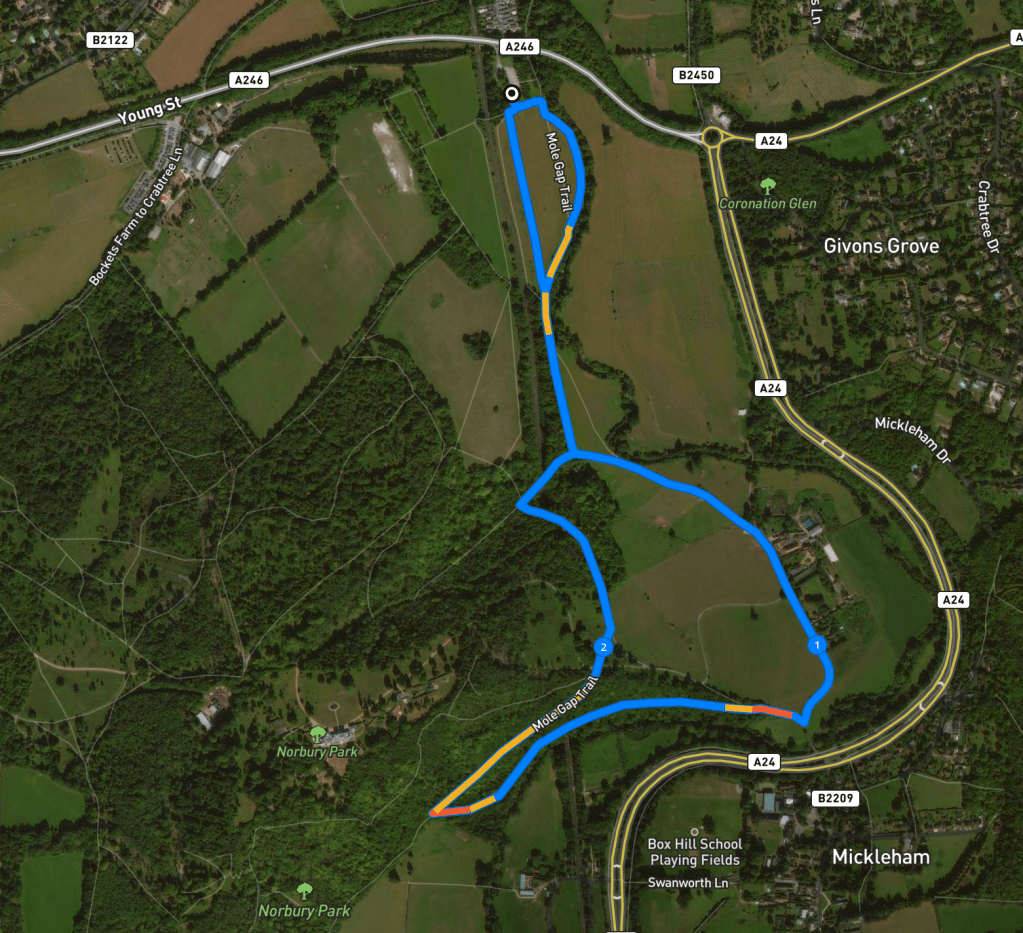
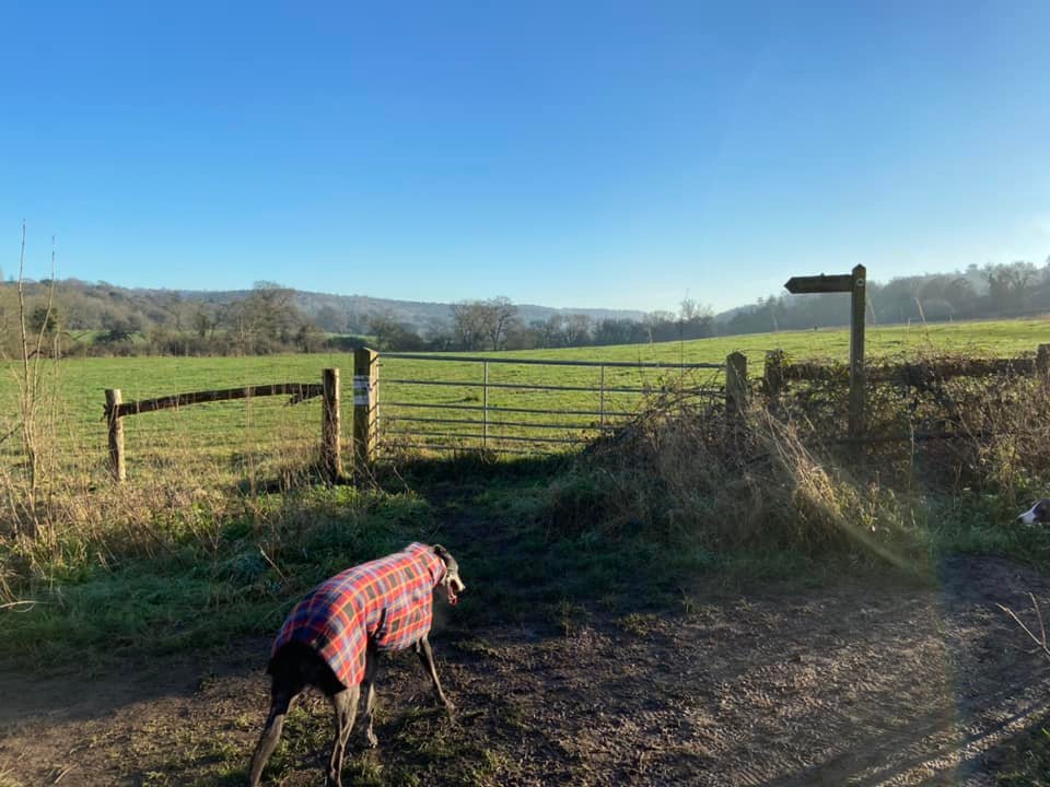
Pass the information board and the (new) natural play area at the back of the car park on the right.

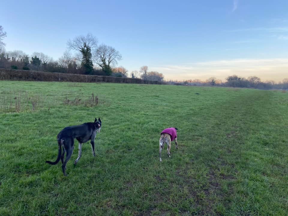
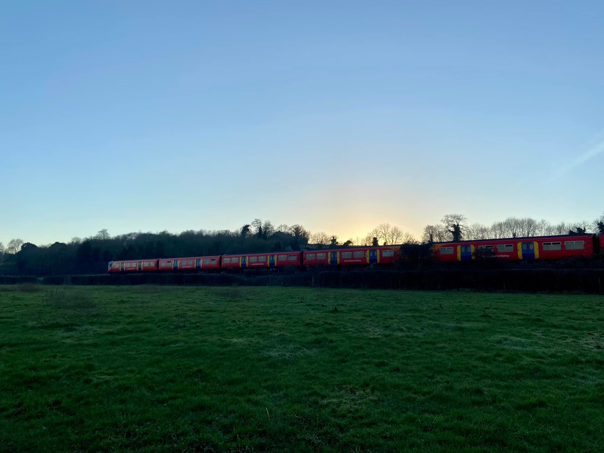
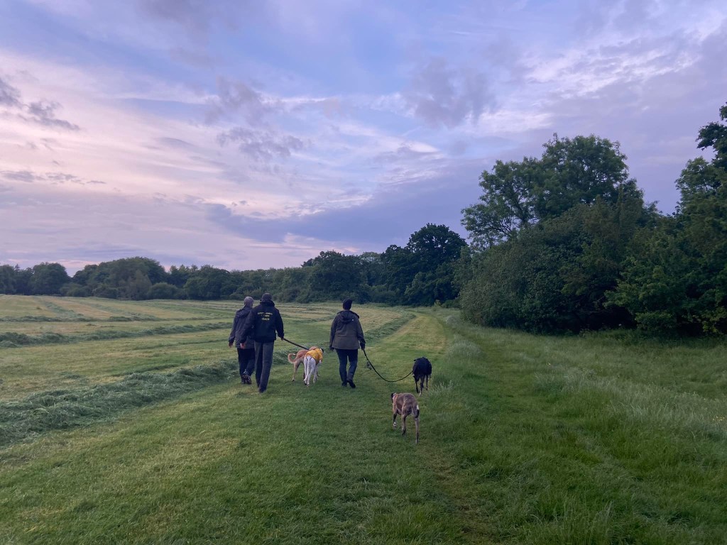
At the T junction, turn left onto the footpath that goes the side of the field and follow it round the corner to the right. Go through the metal kissing gate and take either path across the wide field. During the winter, when the vegetation has died back a bit, I prefer to take the smaller path that heads to the left as it goes alongside the River Mole. In the summer, this can be overgrown so I the go straight ahead across the field. It doesn’t matter as all the paths across this field come together at the end of it anyway. The South Western Railway train line runs along the right-hand side above you.

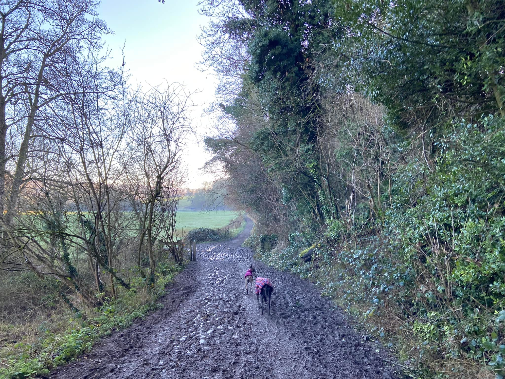
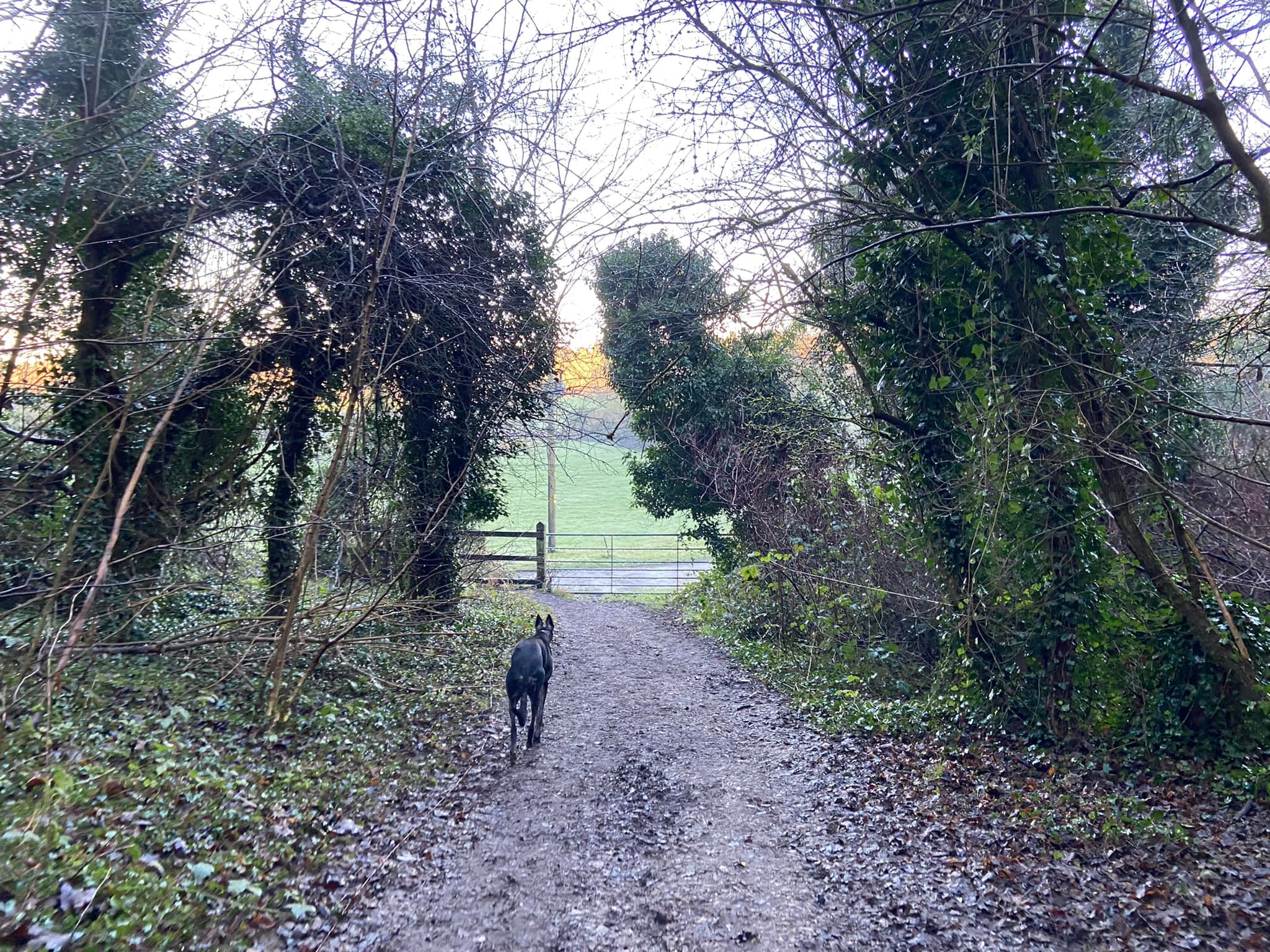
As you come to the far end of the field, the land will start to rise and you’ll be on a wide mud track. Pass through the gate – the vehicle gate is usually open, but if it is not, use the kissing gate next to it. Stay on the track all the way to the end of the field and then turn left. Follow the track through enclosures that usually house cattle and horses and pass a small block of stables on the right.
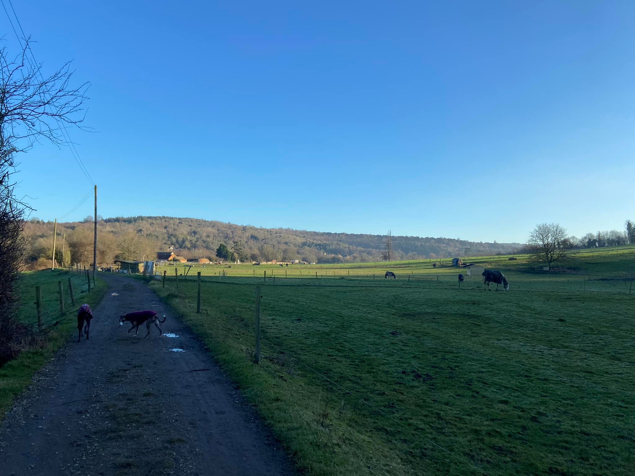
Go through the kissing gate and pass a finger post to join a more substantial lane. Continue straight ahead, passing Norbury Park Farm and then Mickleham Priory on the left.
Go over a speed bump and then ignore the lane that winds up to the right. Go over another speed bump, ignore a lane to the left marked private and with a sign for The Old Workshop. Pass a couple of houses and the lane bends to the right.
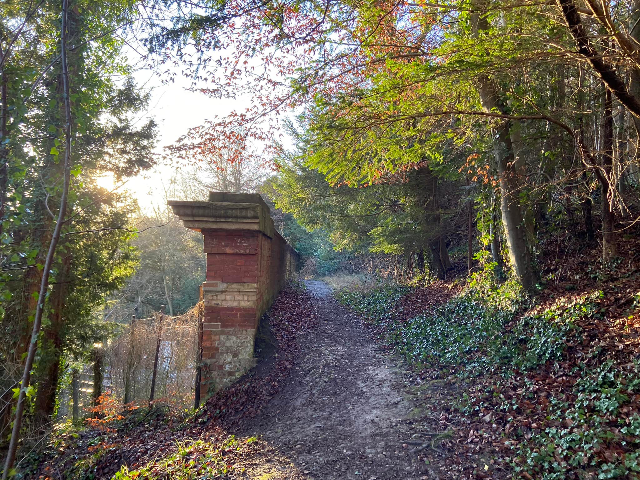
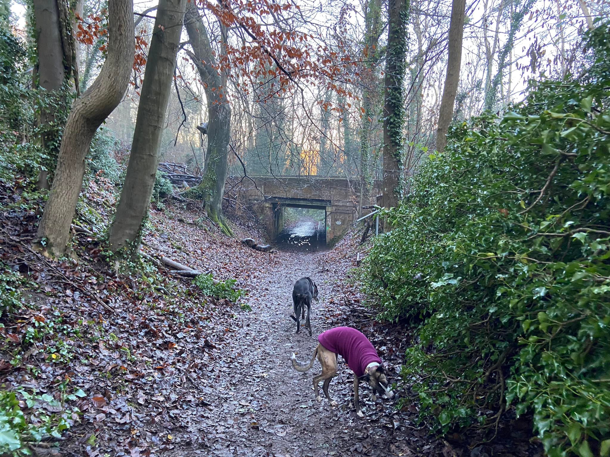
Before you get to the weak bridge, take the footpath that is by a finger post and immediately behind a tree. You’ll head up a slope. Ignore the paths that branch off and head through the wooden barrier.
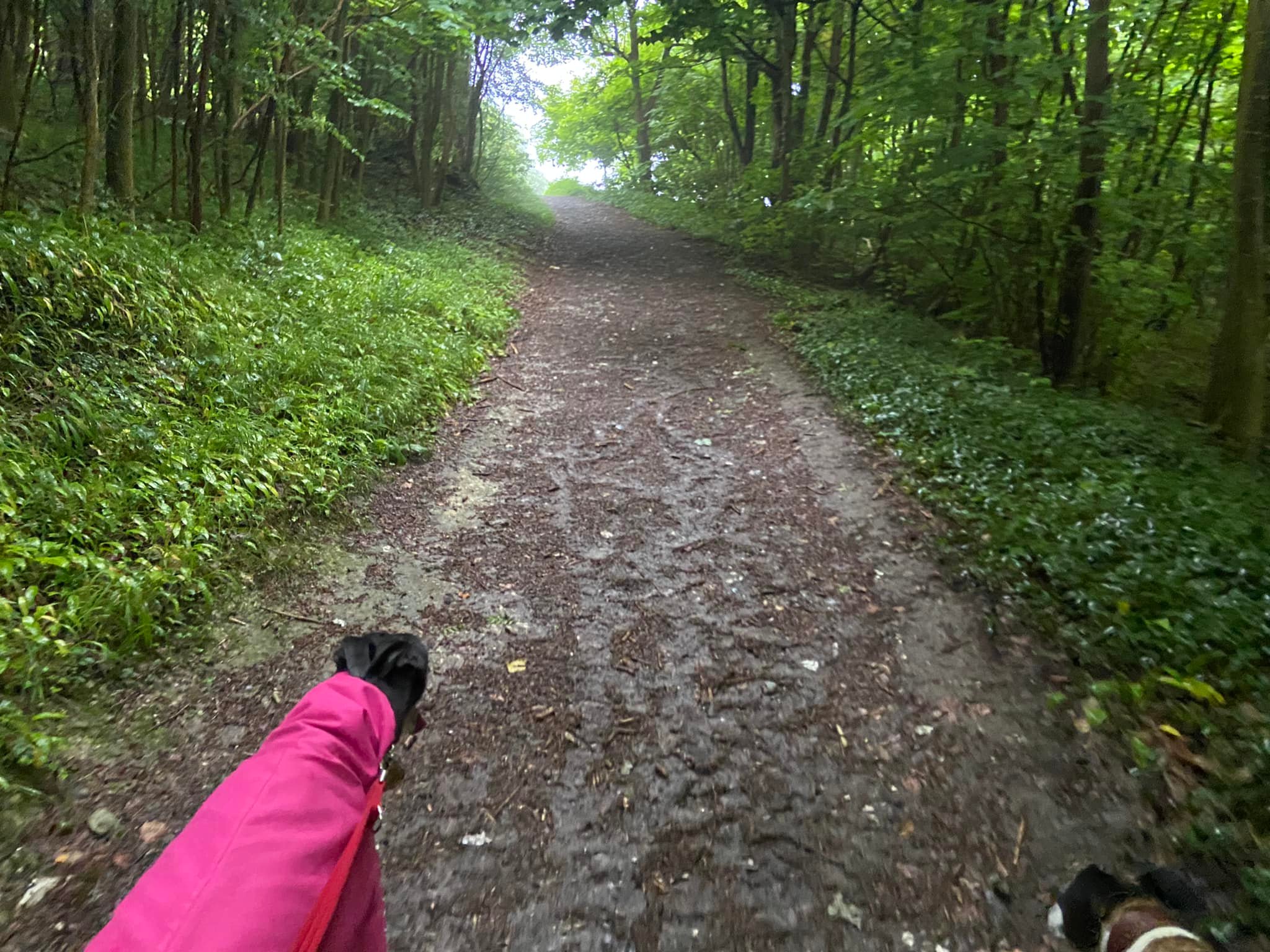
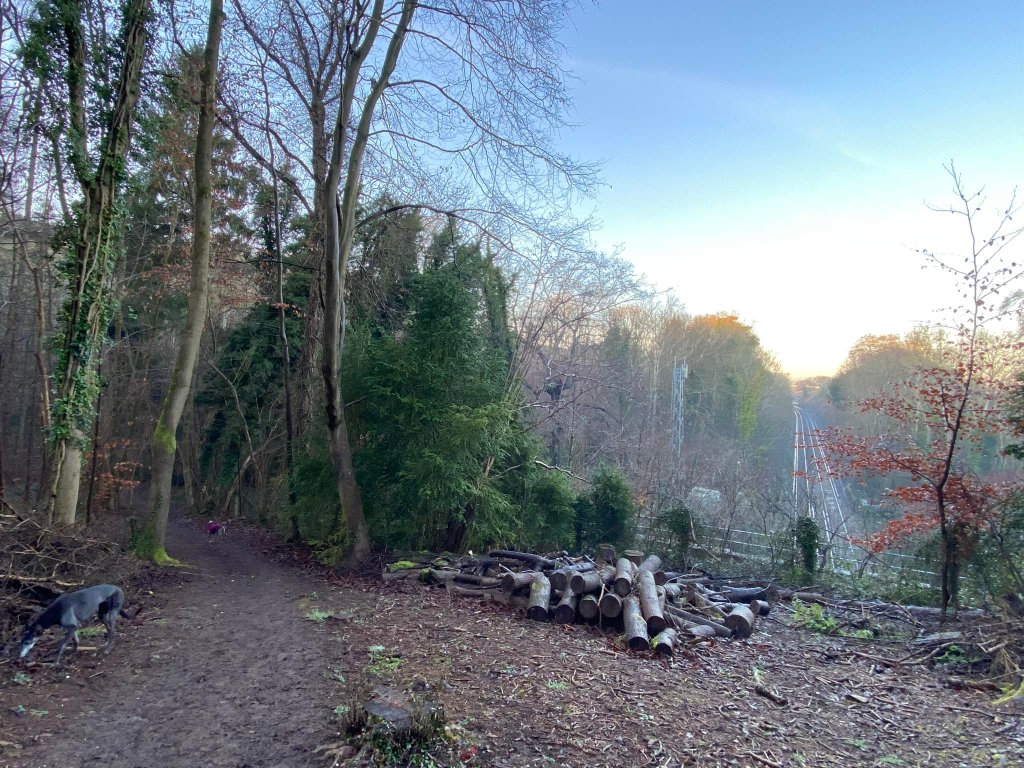
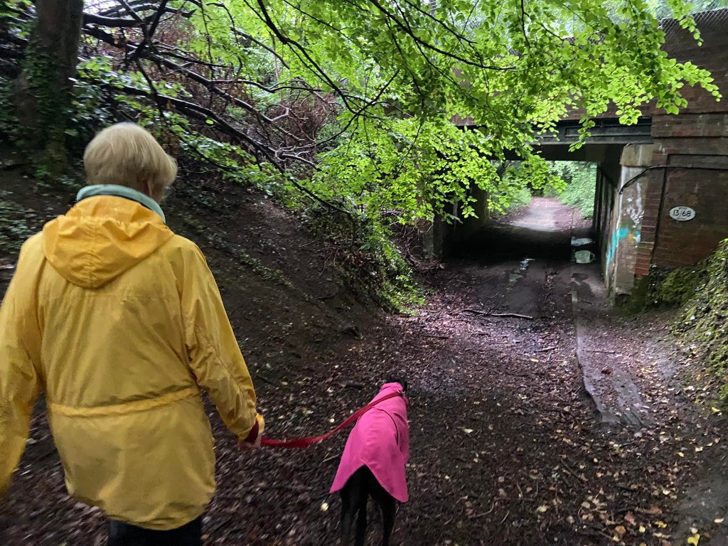
The steepness of the incline lessens and you’ll walk over the railway line where it enters a tunnel through the hillside.
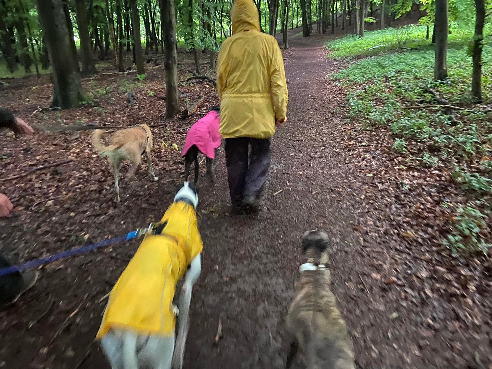
The path then dips down to be almost level with the river again, before it bears round to the right and rises again, first gently and then a short steeper bit. Go through another wooden barrier and immediately turn sharp right onto the Mole Gap Trail.
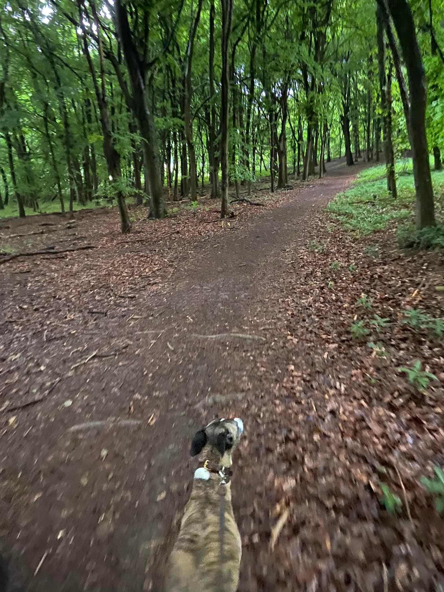
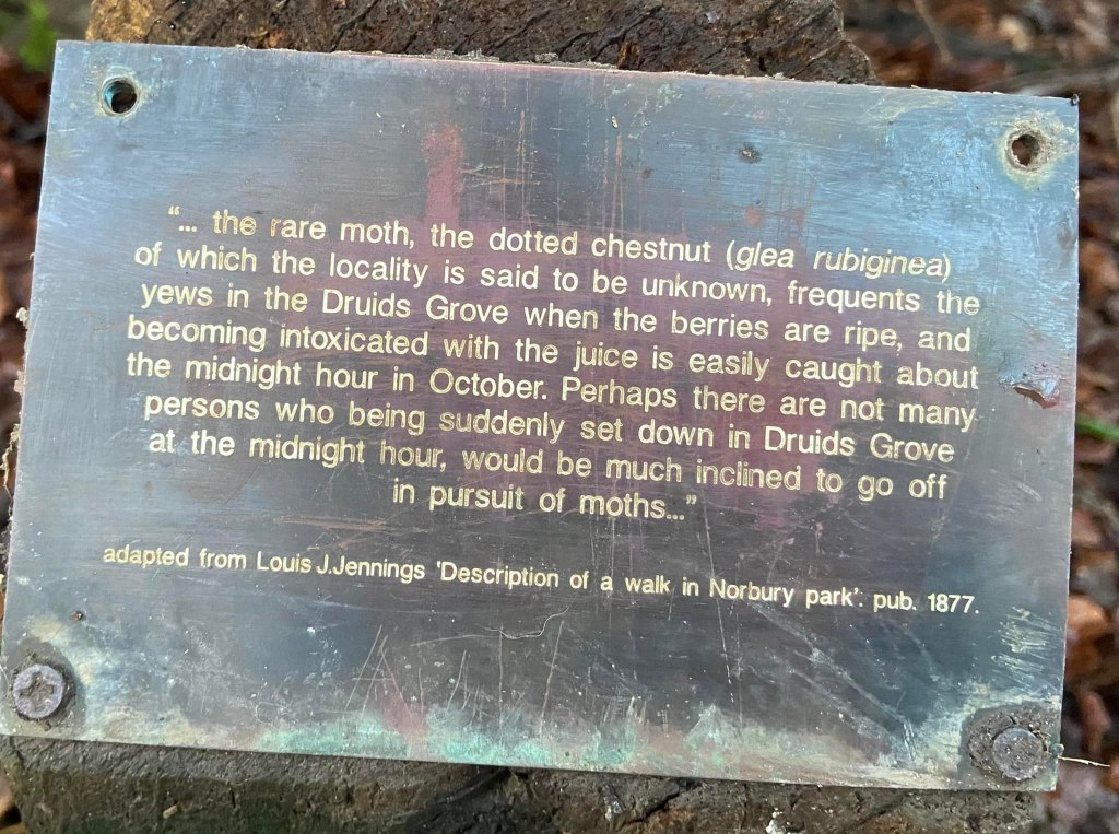
This is a long, steady but gentle incline up the hillside through the woods. You’ll pass a solitary Yew tree on the right with a little wooden post in front of it with a quote from a publication describing Norbury Park.

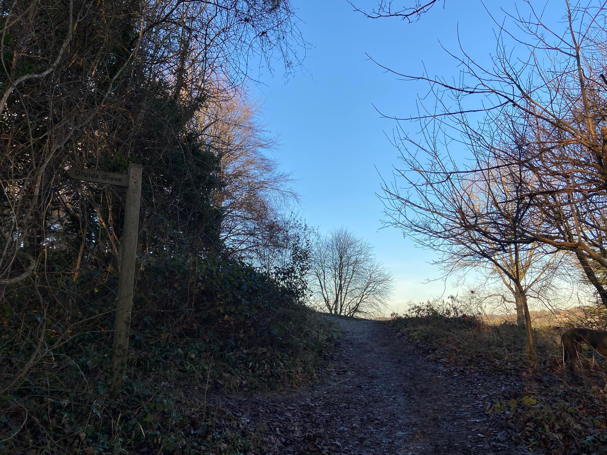
As you reach the top of the hill, the path starts curling to the left. At the top, you’ll exit the trees by a finger post* pointing left to Druids Grove, where the majority of the old yew trees in Norbury Park are located. (If you decide to detour here for a look, be mindful that it’s a fairly long way down the little path, which is narrow and can be steep in places. Another way to get to Druid’s Grove is described on my Norbury Park West post.)
*Note – June 2022, the finger post had fallen down and was lying in the scrub but the path is still visible.
Just after the Druids Grove finger post/path, also on the left, is a sign post with four arrows and a track running across your way. Go straight over and follow the grassy path (the sign post just indicates that you’re heading towards Leatherhead). The grassy path isn’t long at all; very shortly turn left onto the tarmac lane. You’ll see Norbury Park Farm in the distance across the fields to your right.

The lane heads uphill and when it curls to the left, you’ll see a path coming off next to a tree, a finger post and a white bench. Leave the lane and head down this footpath into the trees and down some steps. Just after these, you’ll see the railway line emerging from the hillside to your right.
The path continues down, then bends to the right and brings you to a cross paths with a wooden post that has a green arrow on it. Turn right here and continue downhill and under the railway bridge.
Go through the kissing gate and immediately turn left. You’re now on the track you came down earlier.

Follow it straight, through the next gate and through the field on any of the paths. I tend to take the middle one for this return bit, turning right at the end, then left into the car park.

Leave a comment