Page contents
About
Gallery
Parking
Poo bins?
Self-guided walks
About
Norbury Park was originally one of three manors owned by King Edward the Confessor until the Norman invasion of 1066 and it was alluded to in the Domesday Book of 1086. It occupies mostly prominent land reaching into a bend in the River Mole.
William Lock bought the estate in 1774 and had the mansion built in the crest of the hill commanding beautiful scenery. In 1848, the house was sold to Thomas Grissell, who allowed the railway to be built through the park in exchange for £10,000 – a pretty penny at the time. It was later owned by Sir Edward Mountain, who founded Eagle Start Insurance, which famously insured the Titanic.
Norbury Park estate was the first open space to be purchased by Surrey County Council – in 1930 – to save it from development, the first intervention of its kind to protect the countryside in England.
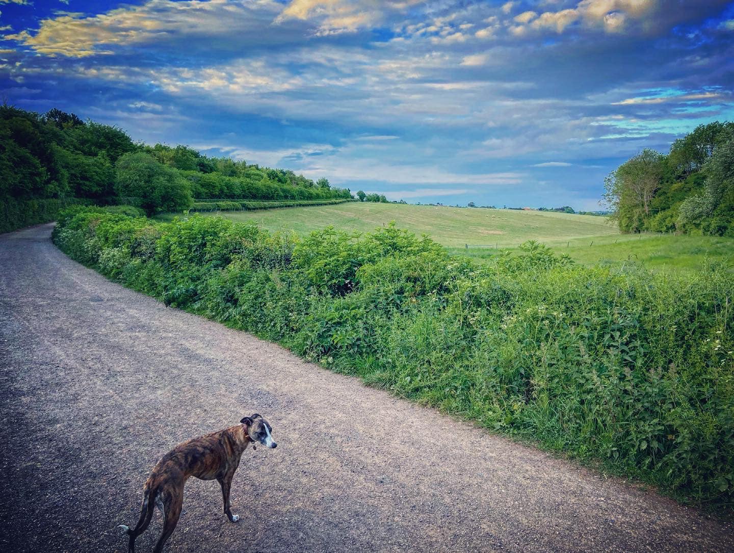
Today, its 530 hectares of mixed wooded and agricultural land is managed by Surrey Wildlife Trust and has an area designated as a Site of Special Scientific Interest. It has Grade II listed status on the Register of Historic Parks and Gardens and is part of the Mole Gap to Reigate Escarpment Special Area of Conservation.
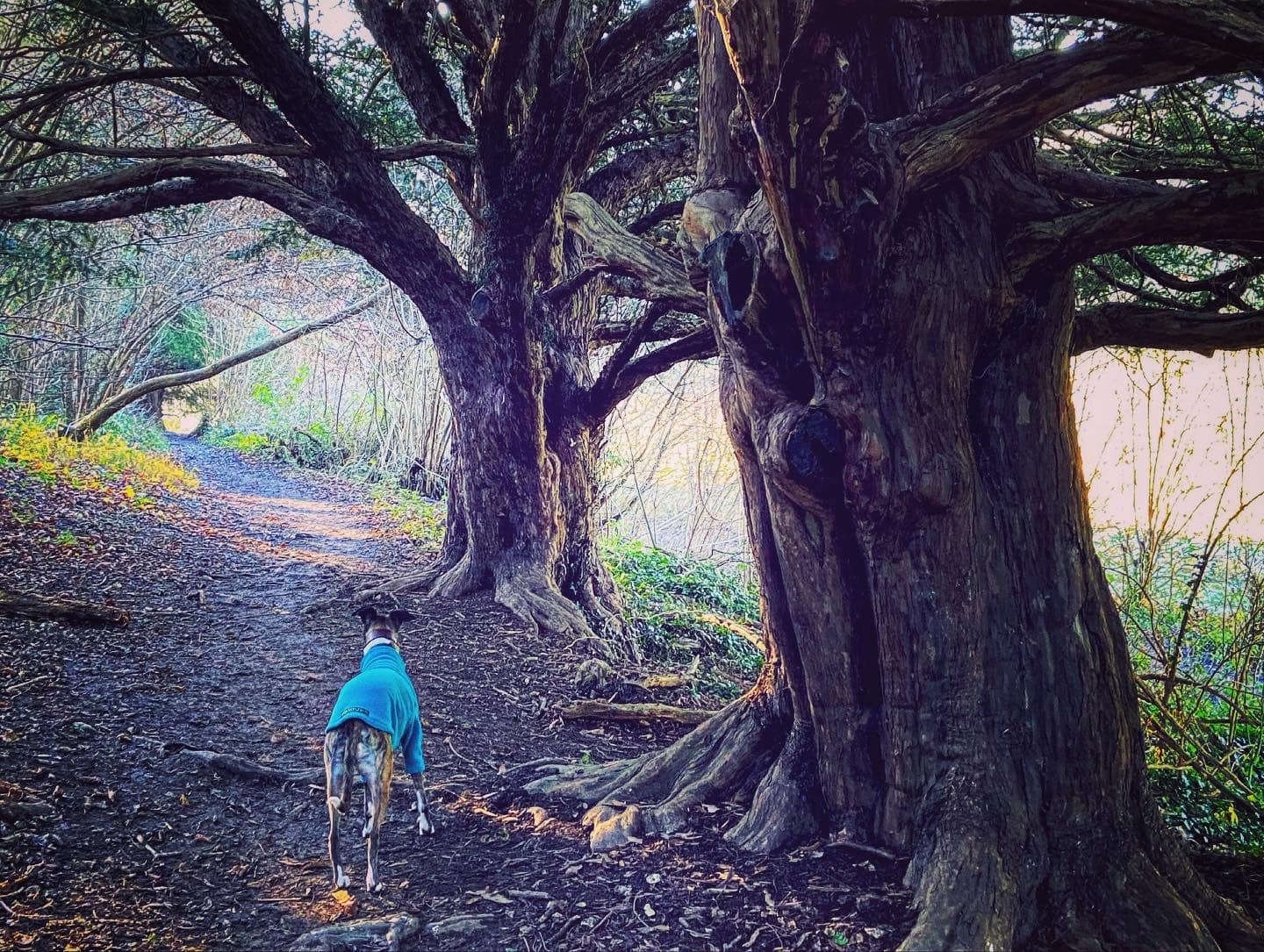
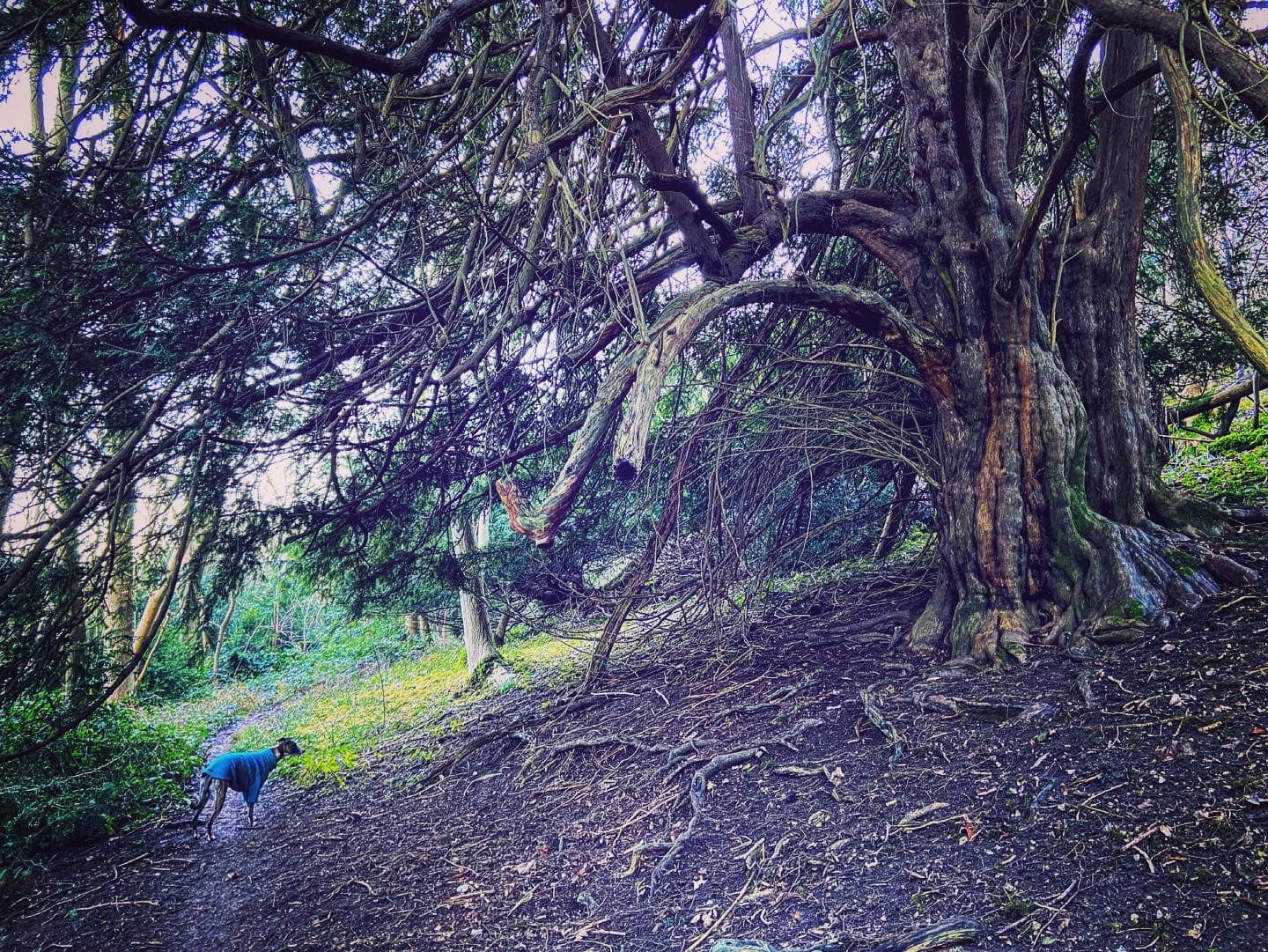
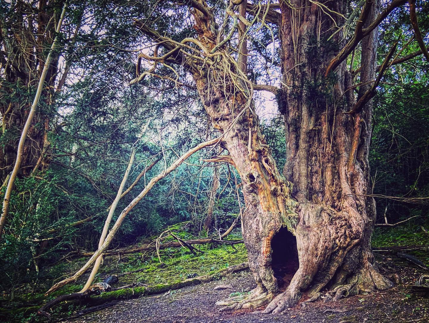
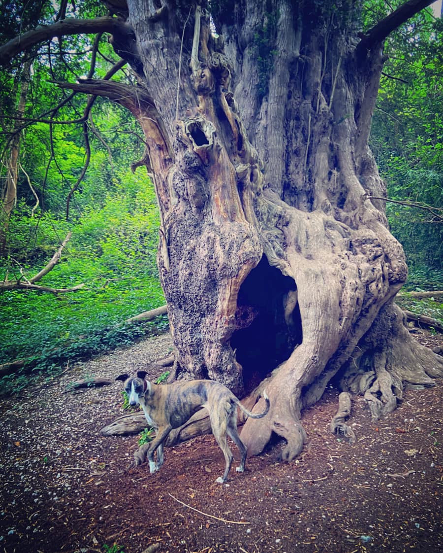
It is home to Druids Grove, a group of Yews thought to be the oldest trees in Britain at around 3,000 years of age. There is also a thriving saw mill in the park (Norbury Park Wood Products), which specialises in oak furniture; and Norbury Park Farm produces Norbury Blue Cheese and boasts that it is the only cheesemaker in Surrey.
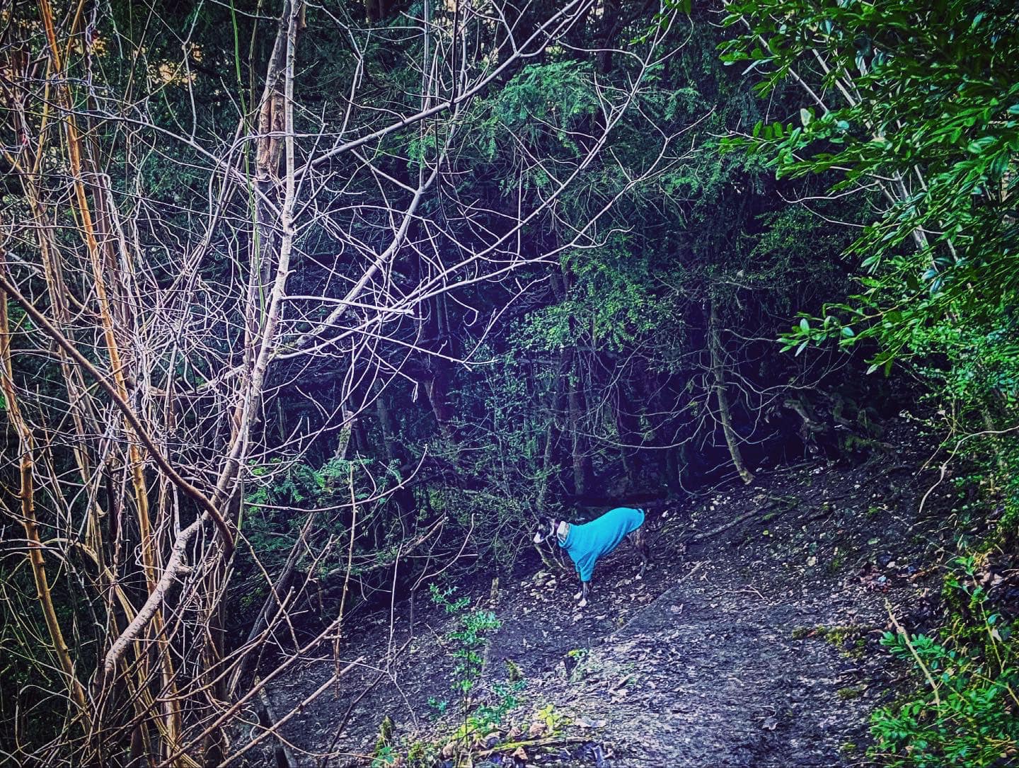
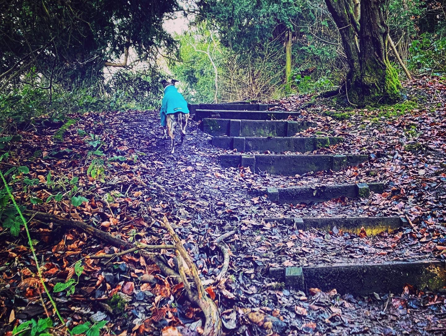
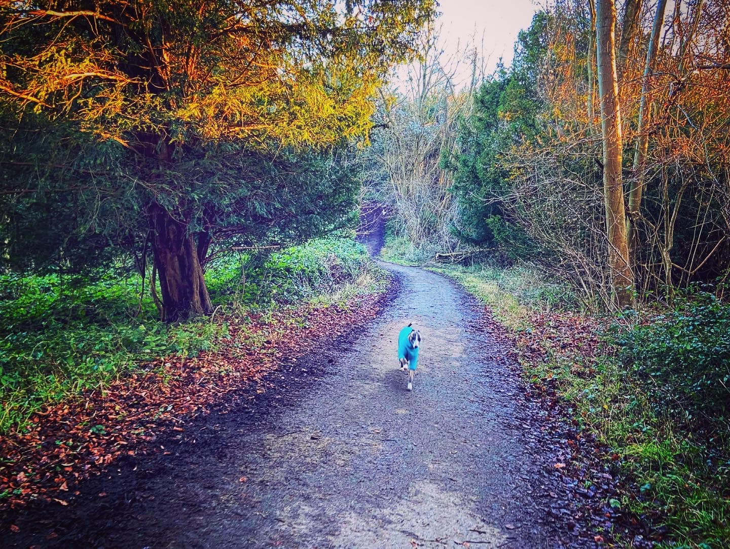
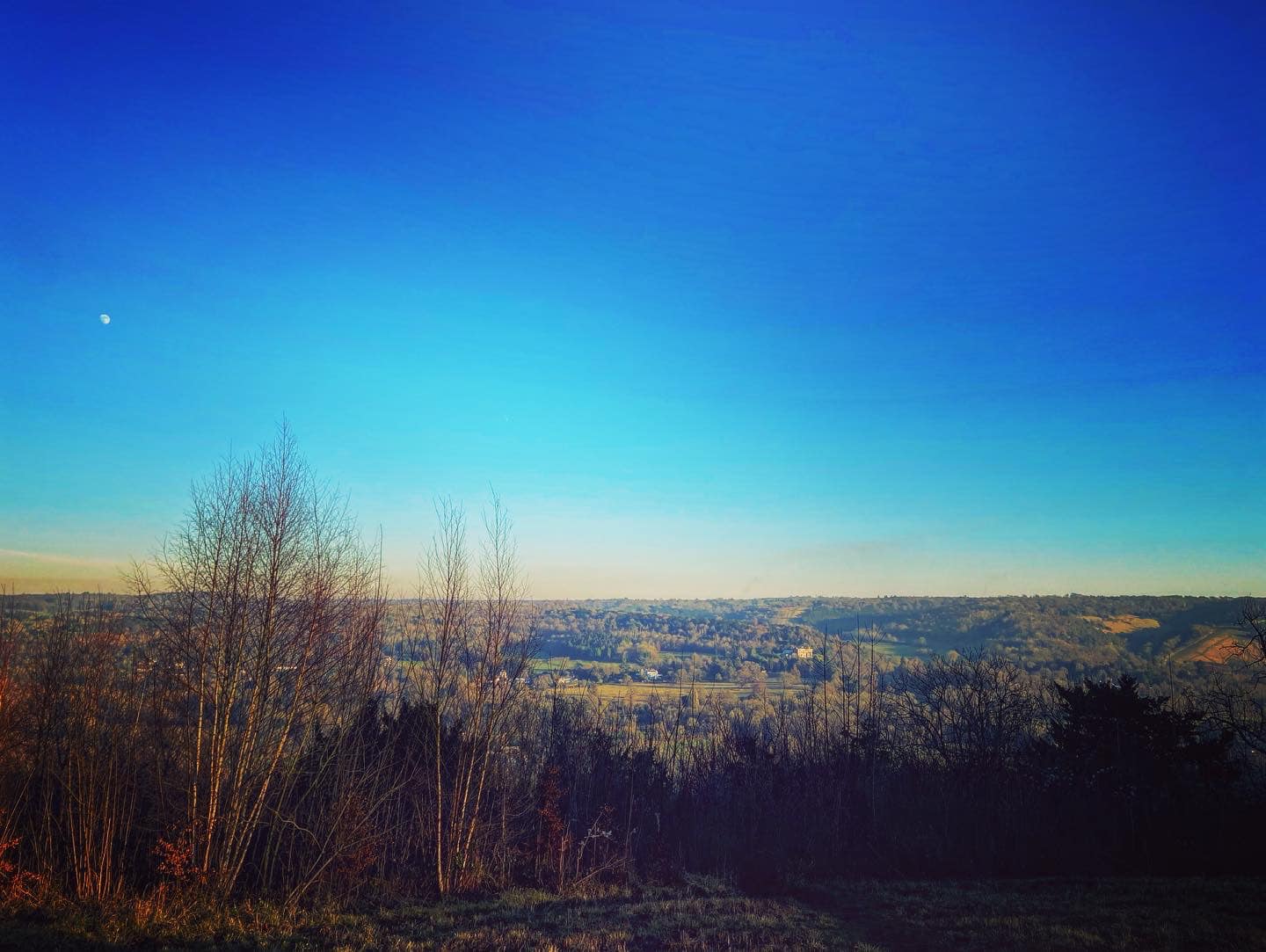
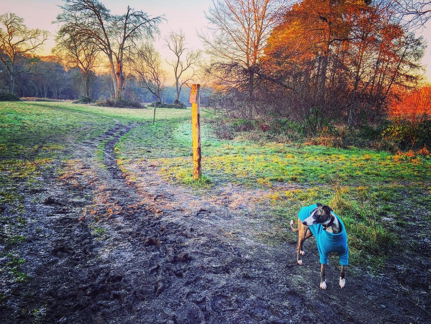
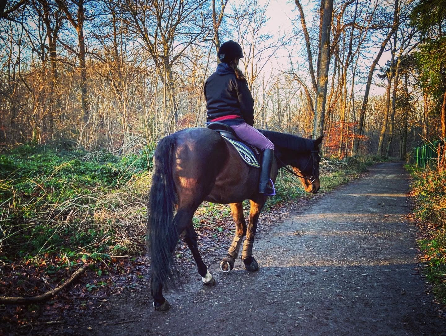
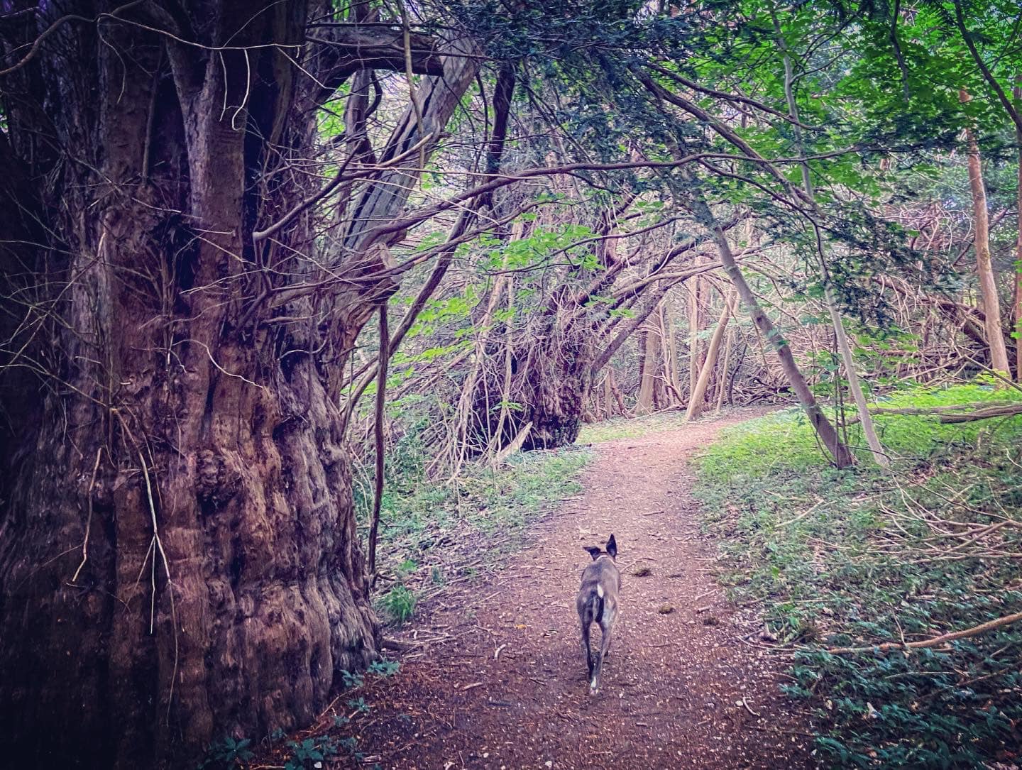
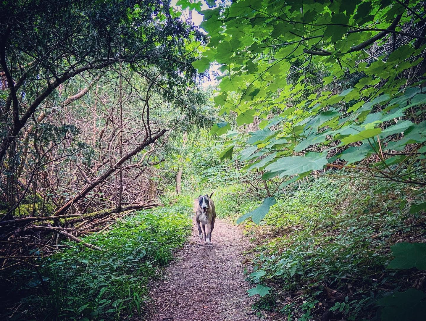
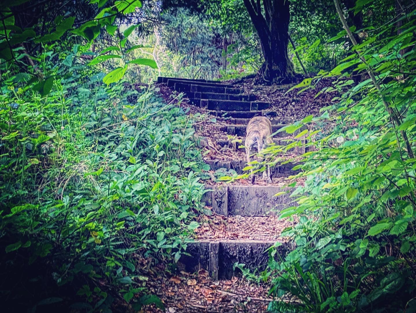
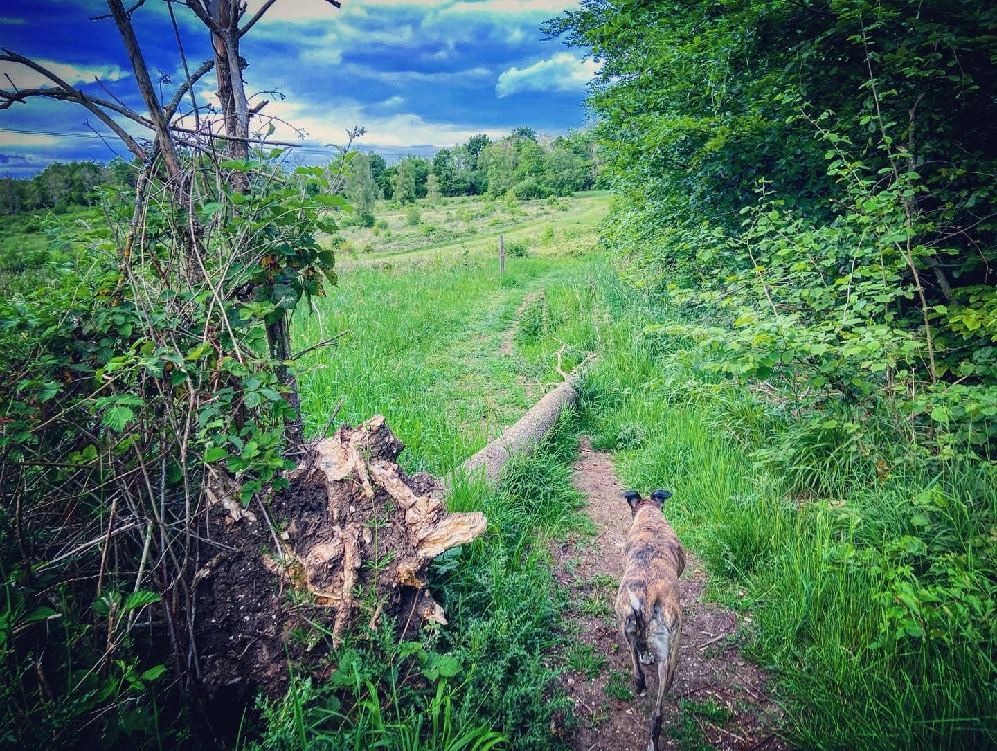
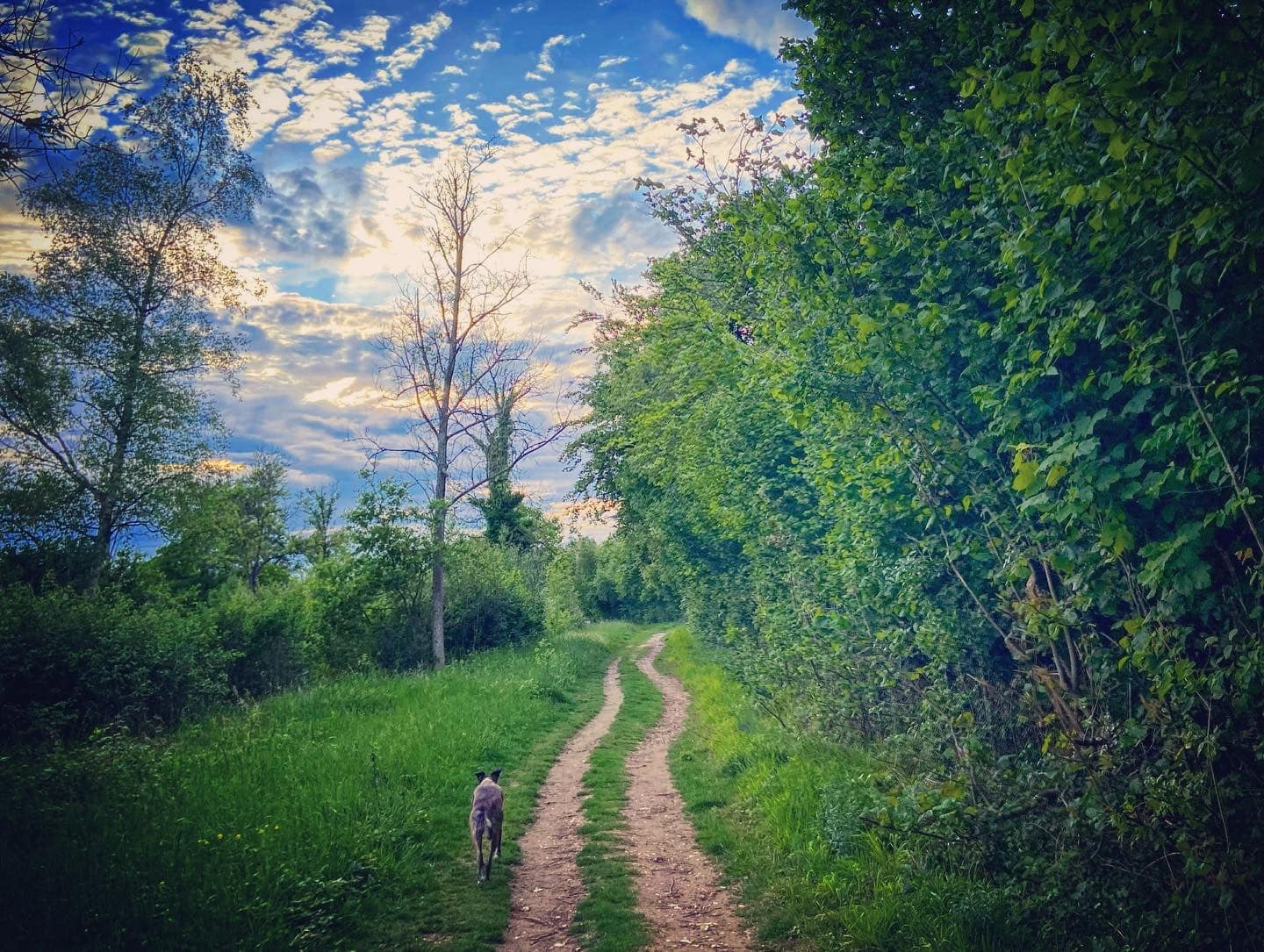
Gallery: What’s it like here?


Parking
On this westerly side of Norbury Park, there are two options for parking – Fetcham car park by the roundabout and also the car park at Bocketts Farm (pass Fetcham car park and keep going!). Obviously Bocketts Farm car park is for Bocketts Farm but people do use it for Norbury Park.
Bocketts Farm car park
GOOGLEMAPS LINK: https://goo.gl/maps/kW6wXR1hCLXpV4Za9
WHAT3WORDS: highs.income.extra
NEAREST POSTCODE: KT22 9DS
Fetcham car park
GOOGLEMAPS LINK: https://goo.gl/maps/2RKF7jjFvRYFBMJh6
WHAT3WORDS: round.glass.gently
NEAREST POSTCODE: KT22 9DX
Poo bins?
At the car park.
Self-guided walks
Norbury Park is known for being hilly, but the route(s) described here take you around the west side of the parkland on as gentle slopes as I can find. Here is a Footpath app route for Norbury Park from Bocketts Farm. It’s also on AllTrails. Here is the same route on the Footpath app but from Fetcham car park. It’s also on AllTrails.
Length: approximately 2.8 miles/4.6km (Bocketts) or 2.7/4.3km (Fetcham)
Terrain: Slopes and hills but most of the paths are surfaced. Those that are not can be muddy in winter months
Stiles/kissing gates? No stiles, no kissing gates
Click here for the directions and photos of the walk on this page from Bocketts Farm car park.
Click here for the directions and photos of the walk on this page from Fetcham car park.
Route from Bocketts Farm
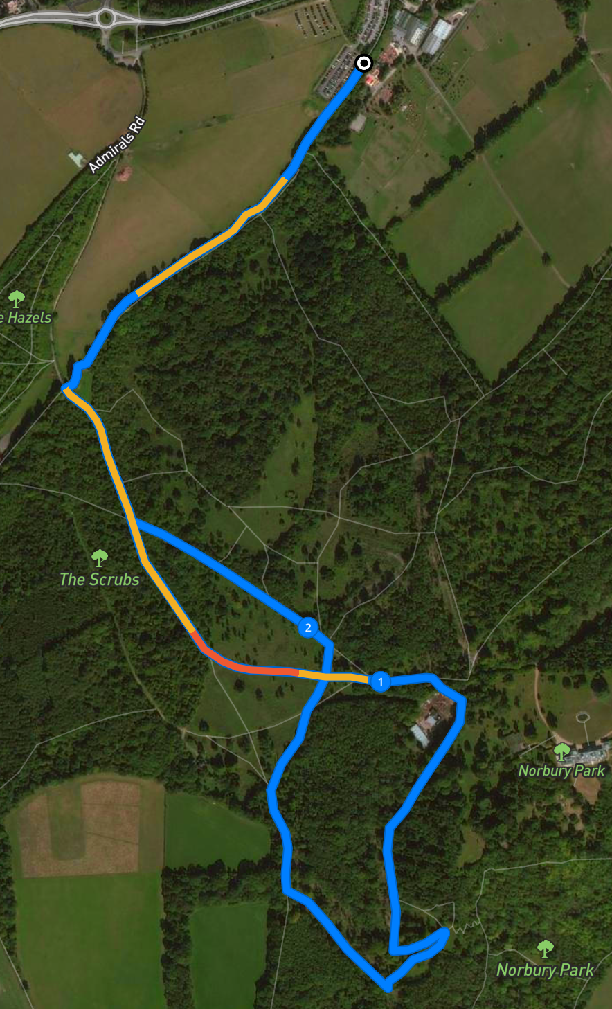
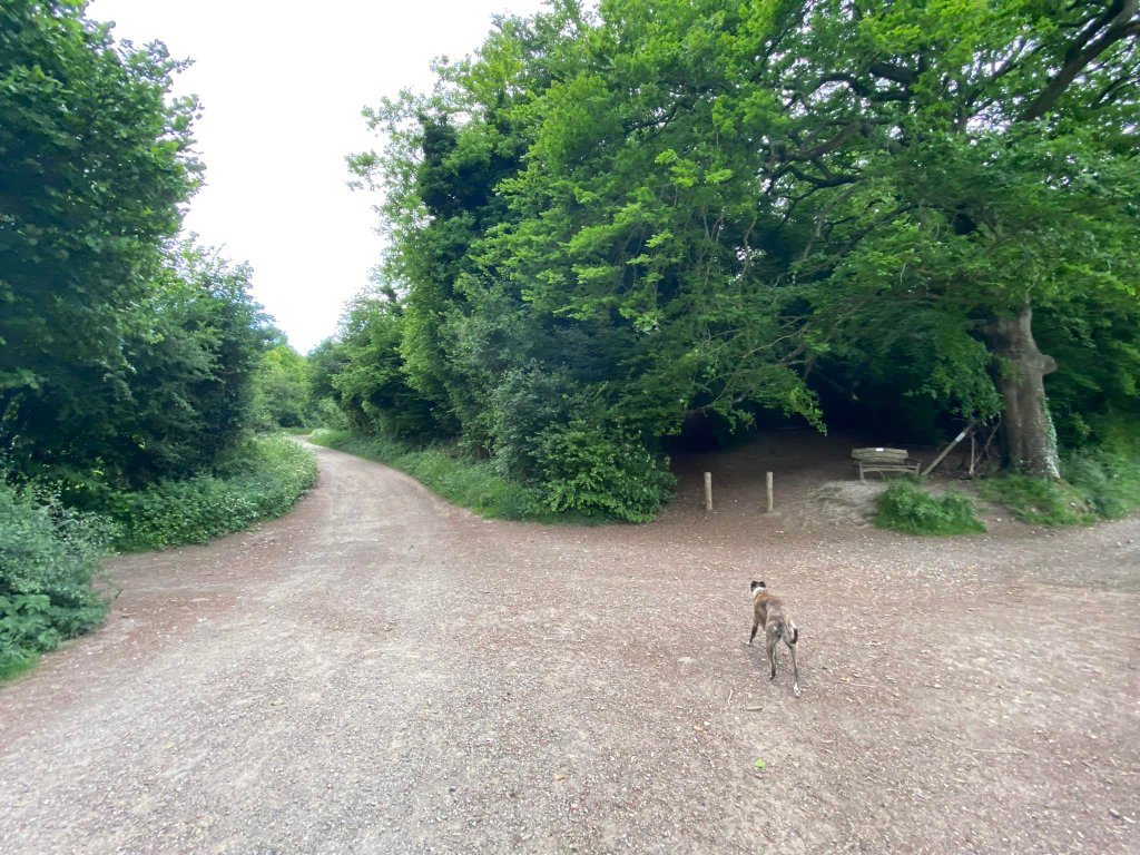
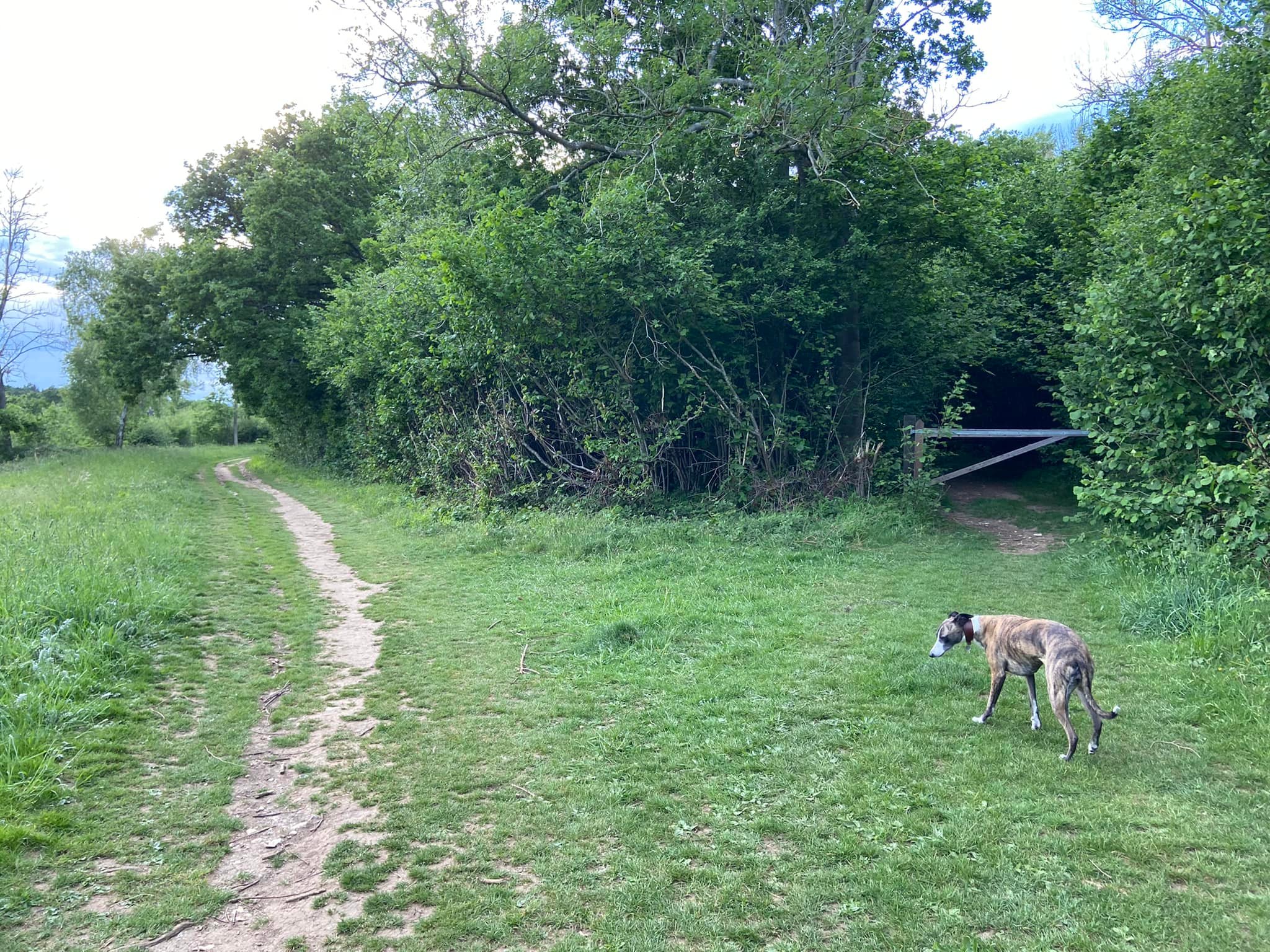
At the base of the slope that the car park is located on, there is a mud footpath that runs along the bottom of the car park. Follow this path down the side of the fields to the junction with the lane (this lane comes up from Fetcham car park). There’s a finger post with four arrows and a bench behind that.
Turn left and walk up this main artery into the park, ignoring any smaller parts coming off on either side including a small cross paths.
Click here to continue your walk.
Route from Fetcham car park

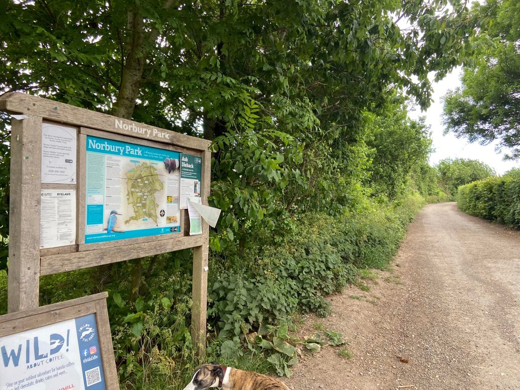
With the roundabout behind you, head to your left to leave Fetcham car park and take the lane that passes an information board about Norbury Park (it’s on the left).
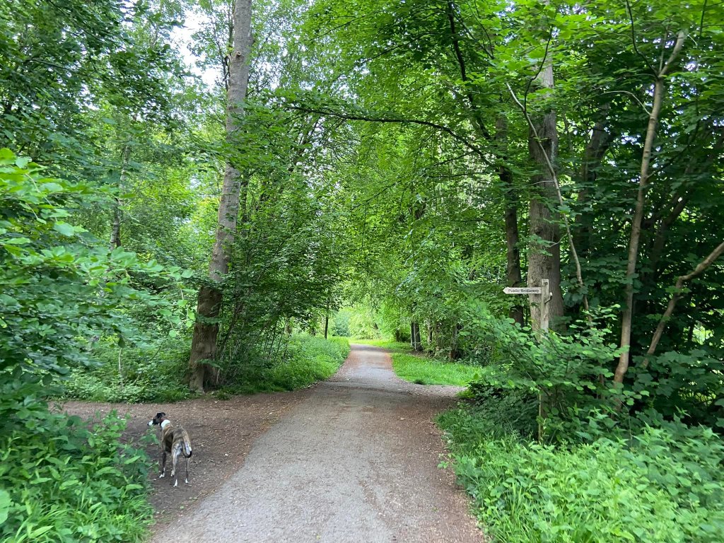
Follow this lane, ignoring a track that comes off to the right opposite a red poo bin.
After some way, you’ll come to a cross paths with a finger post with four arrows (June 2022: the finger post had fallen over) and a bench set back to the right. The path joining from the left comes up from Bocketts Farm car park.
Continue straight ahead on the main artery into the park, ignoring any smaller parts coming off on either side including a small cross paths.
Walk continues
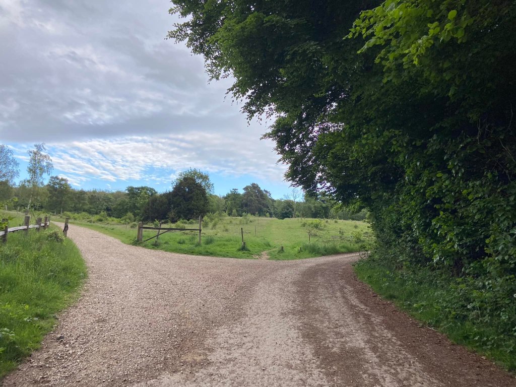
It’s a fairly gentle but long incline up this main gravel track. You’ll be on it a fair way but as it steepens a bit more, you’ll come to a junction of paths, where the middle one is a grassy bridleway coming off in between two gravel tracks. Take the left hand option here, which goes through a gate and continues upslope curving around to the left.
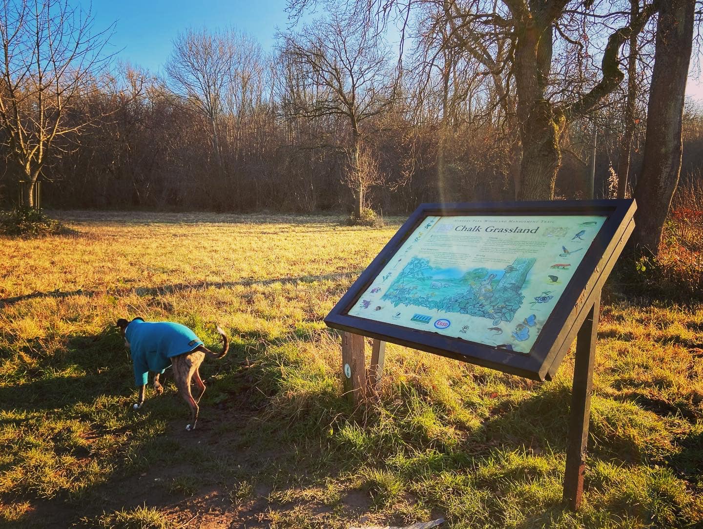
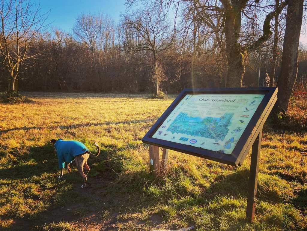
Ignore paths coming off this main track, and pass an information board about chalk grasslands, which will be on your right. There’s sometimes a sign for Wild About Coffee here too (but not always).

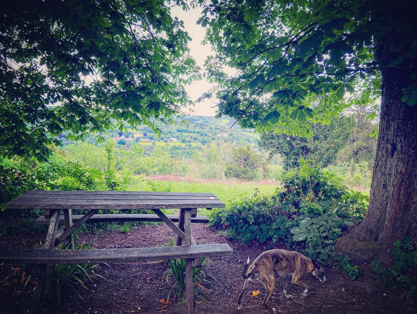
Continue ahead on the main track still and pass a black vehicle barrier. Norbury Park Wood Products sawmill is on the right. At the fork here, bear right along the grey railings. On the left there are picnic tables, a fire pit set-up, and an information board about the park. This is where you’ll also find the Wild About Coffee trailer.

With the grey railings still on the right, pass through a wooden barrier. On the left, there is a green fence separating your path from the manicured grounds of Norbury Park House, which was once home to Dr Marie Stopes.
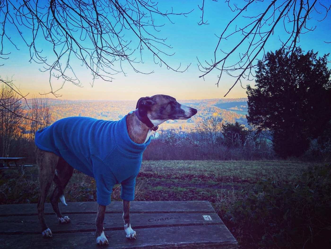
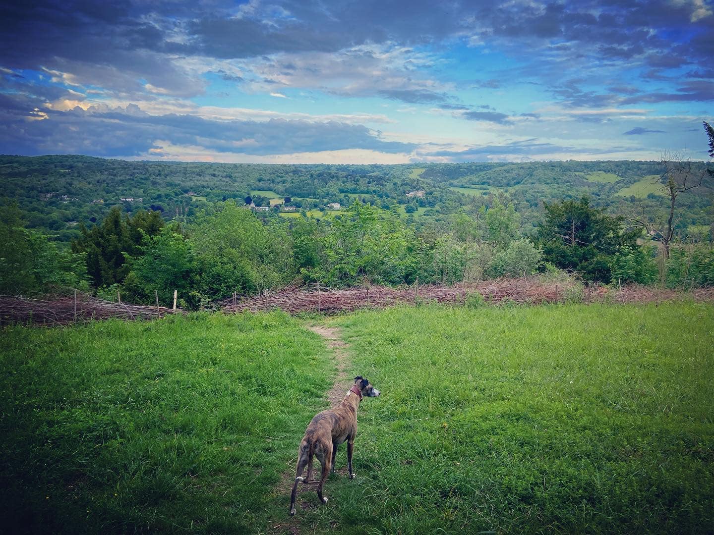
Continue up slope quite a way. When you get to the end of the green fence, keep on straight until you come to a finger post pointing left to the viewpoint. Take this path to the picnic tables that are at the viewpoint.

After enjoying the view, you have two options:
Option 1. More challenging route via Druids Grove. Please do not take this route if you are not able to manage extremely steep steps/slopes and very uneven, narrow paths. Click here for the Druids Grove option.
Option 2. Straight-forward (and shorter) route that doesn’t go via Druids Grove. Click here to miss out Druids Grove.
Option 1: Druids Grove
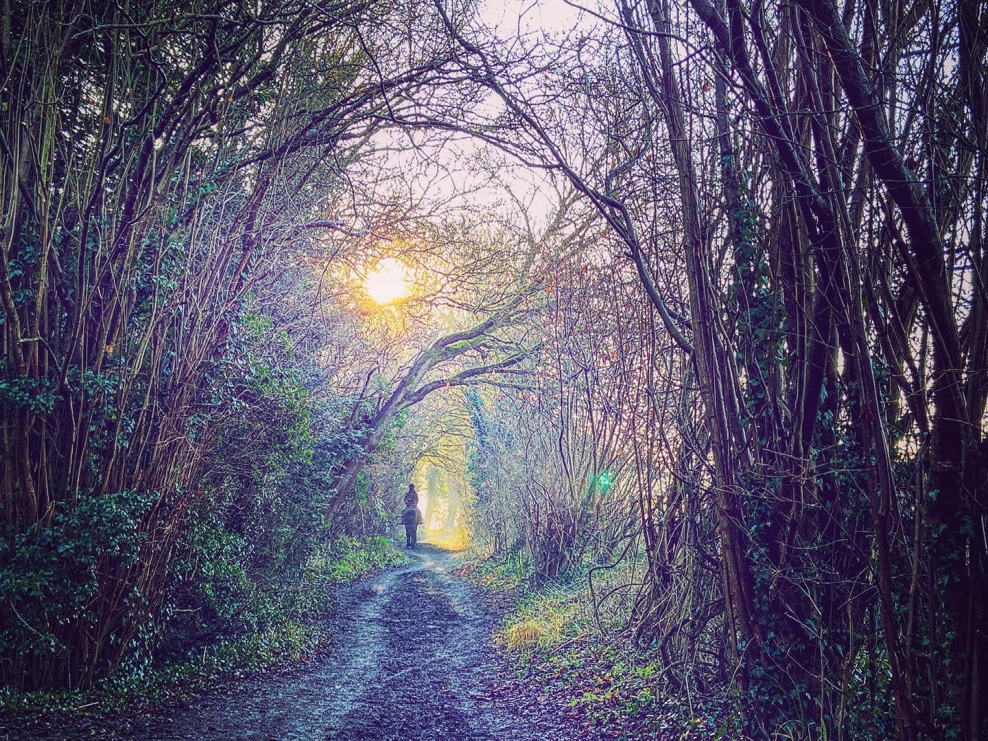
After admiring the view, continue on a little path straight ahead towards a boundary made of sticks/shrubs and go through the gap in it onto a very narrow, windy path that slopes steeply down.

After a couple of u-bends, the slope steepens and steps zigzag down the hillside. This slope and the steps is treacherous when wet or muddy – and even when conditions are good, you do need to be steady on your feet.

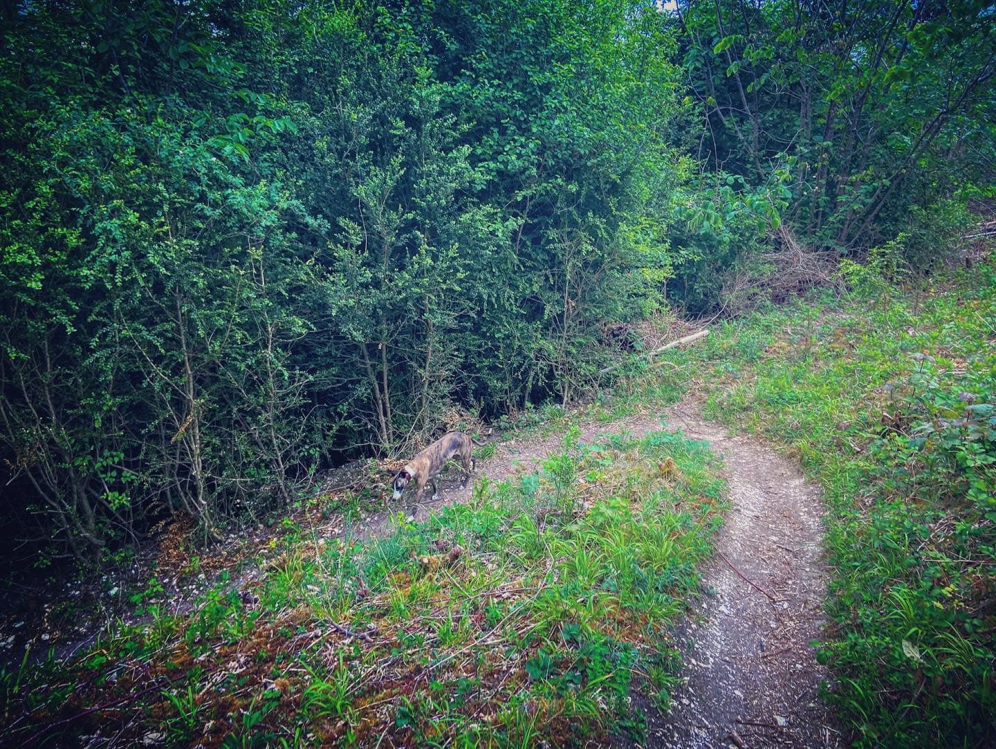
When the steps end and the path straightens out, it’ll take you along the contour of the hillside (with a very steep slope down to the left!) and you’ll see many Yew trees along the way – this is Druids Grove. Just follow this path quite a long way, until you get to some steps going up the hill to the right.

Go up the steps and you’ll come out on a tarmac path, where you turn right and continue upslope.

Walk along the tarmac track for quite a long way. After some distance, you’ll go over a speed bump and shortly after this, the path will flatten out. Just before a second speed bump, take a path that goes off to the left next to a finger post on the right that marks the bridle path.
Click here to continue the route
Option 2: Not Druids Grove
After admiring the view, with the picnic tables on your left, take the mud/grass path that heads back towards the main track, passing a fallen tree. At the track, turn left and go over the speed bump, then immediately turn right next to a finger post on the left that marks the bridle path.
Walk continues
Follow this main bridle path/track for quite a way, and when it comes to a fence line, it’ll bend to the right. Just keep going. Go around a wooden barrier and you’ll emerge at a cross paths with a wooden post just to the right.

At the post, turn right and follow the line of the shrubs, which is on your right. At the second wooden post, the path will bear to the left of the post as a tree has come down. Go around it then over a second fallen trunk (not sure if Surrey Wildlife Trust may clear this at some point so it may not be there).

Go straight over the next wide grassy cross paths and under the telegraph lines, and pass a bench on the right. At the next junction, you should realise you’re back at the chalk grasslands information board on the main track from much earlier in the walk.
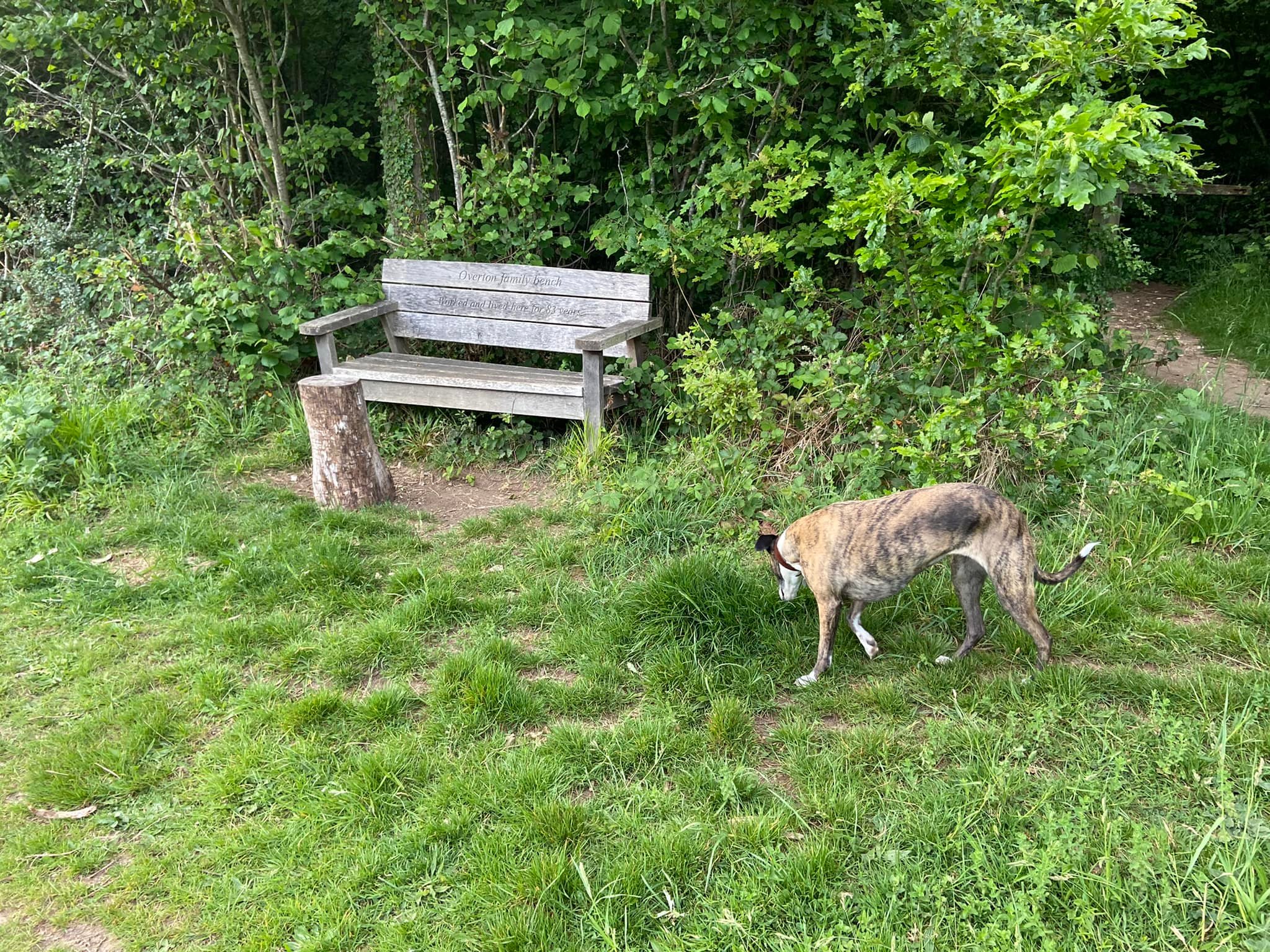
Go straight over the main gravel track and continue ahead towards a bench, which faces you. If there’s nobody sitting on it, you’ll be able to see that it’s dedicated to a Peter Lovegrove. When you reach it, you’re at a junction of a few paths. Turn left and take the most left path of the various options. Pass a livestock drinking trough on the left and a barrier and bench (dedicated to the Overton family) on the right.
When the path reaches its next major junction, it is with the main track that you took up the hill into the park at the start. Turn right here and retrace your steps down to the junction that leads to Fetcham car park (go straight ahead) and the path back to Bocketts Farm (turn right).
