Page contents
About
Gallery
Parking
Poo bins?
Self-guided walk
About
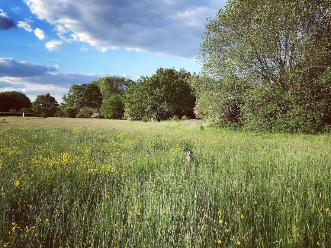
Kenley Common comprises chalk grassland, wildflower-rich meadows and ancient woodland. During medieval times, this land was used by commoners as pasture to graze livestock. The City of London bought it from the Lord of the Manor, Edmund Byron, in 1883 along with the other Coulsdon Commons. Today, Kenley is in Croydon, but it was part of the administrative county of Surrey prior to the creation of Greater London in 1965 and the walk on this page goes within spitting distance of the border.
In 1917, Kenley Common and adjacent farmland was requisitioned for an airfield where aircraft were assembled and tested before being flown to the Western Front – this became known as RAF Kenley. After WWI, the northern part of the land was returned to the City Corporation but the southern part was kept for the airfield.
RAF Kenley is the most intact airfield associated with WWII’s Battle of Britain. Some 1,000 service personnel were stationed here at its height and there are still a significant number of structures remaining to explore – a treat for the avid aviation or history buff. Its eight surviving blast pens have been designated some of the youngest scheduled ancients monuments in the country.
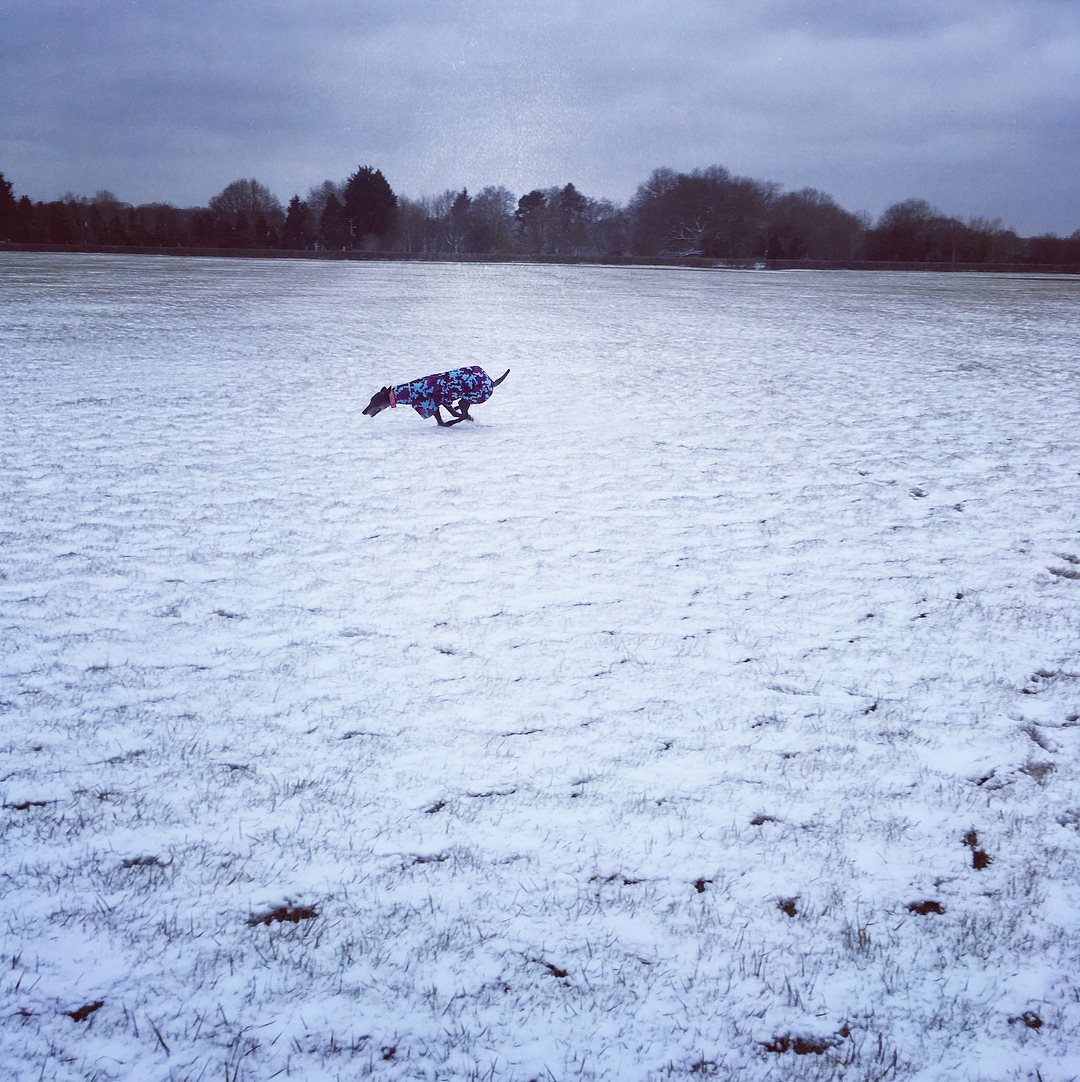
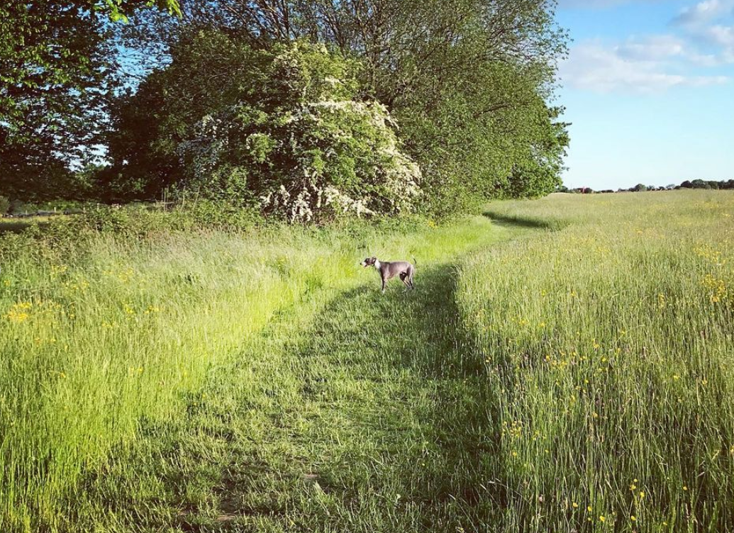
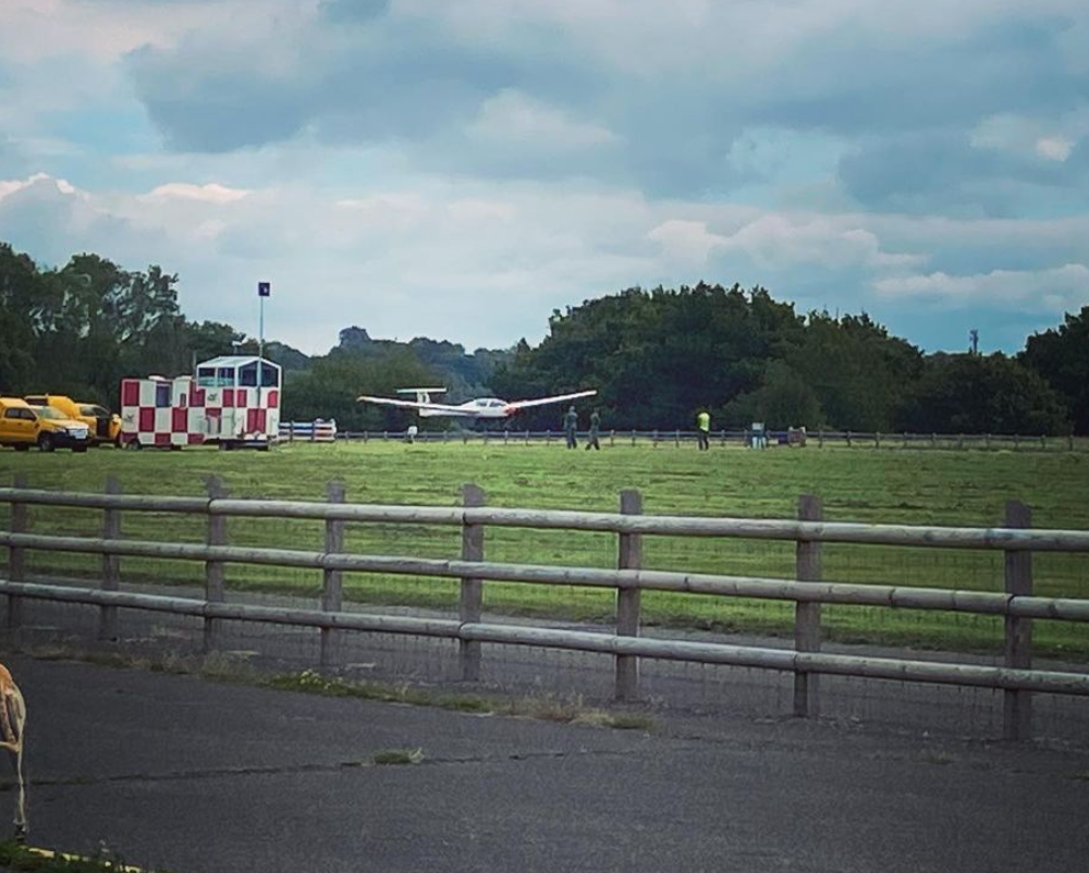
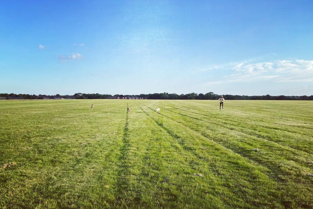
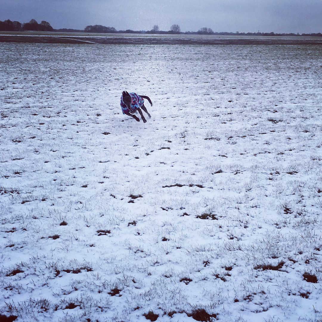
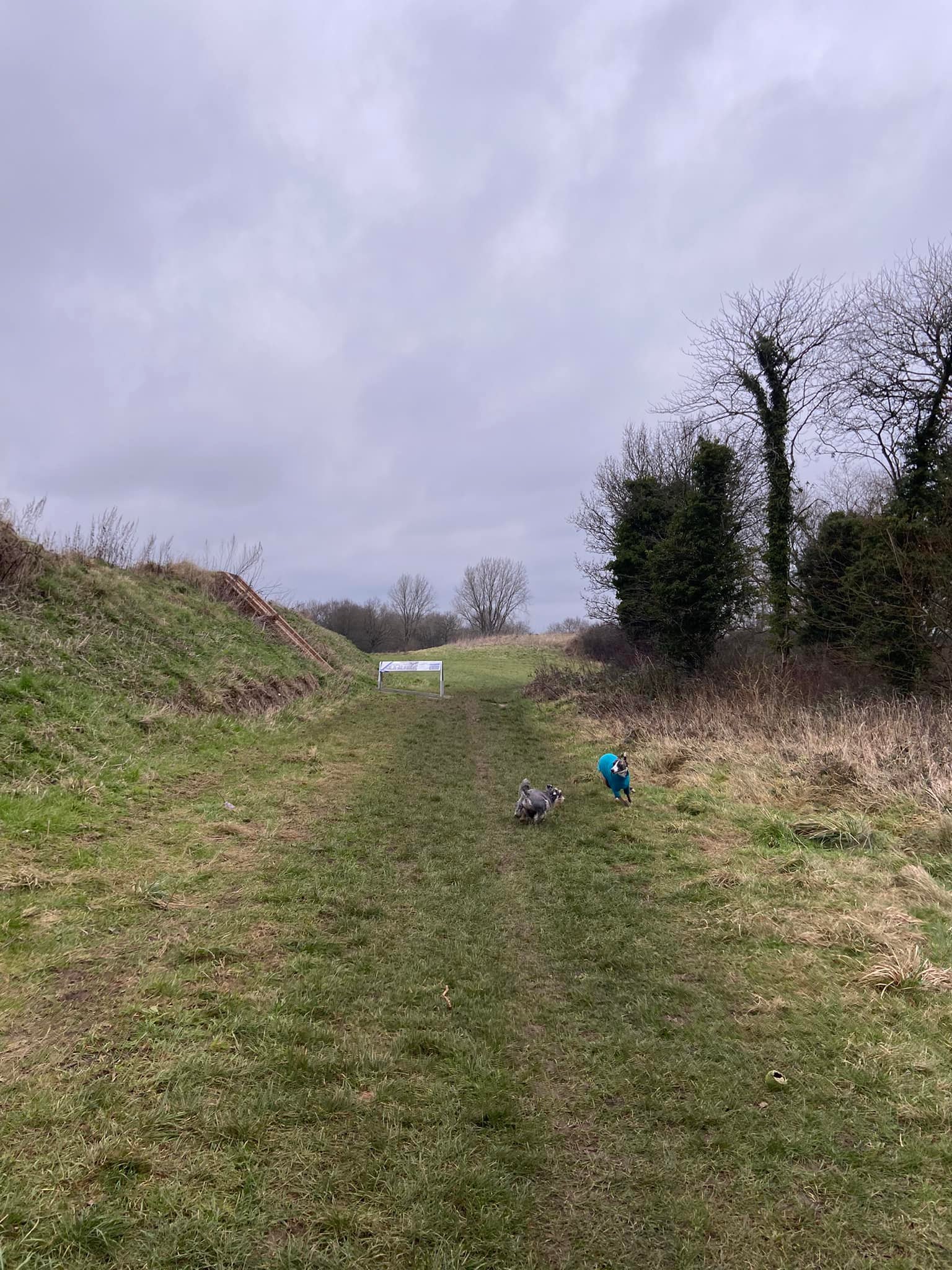
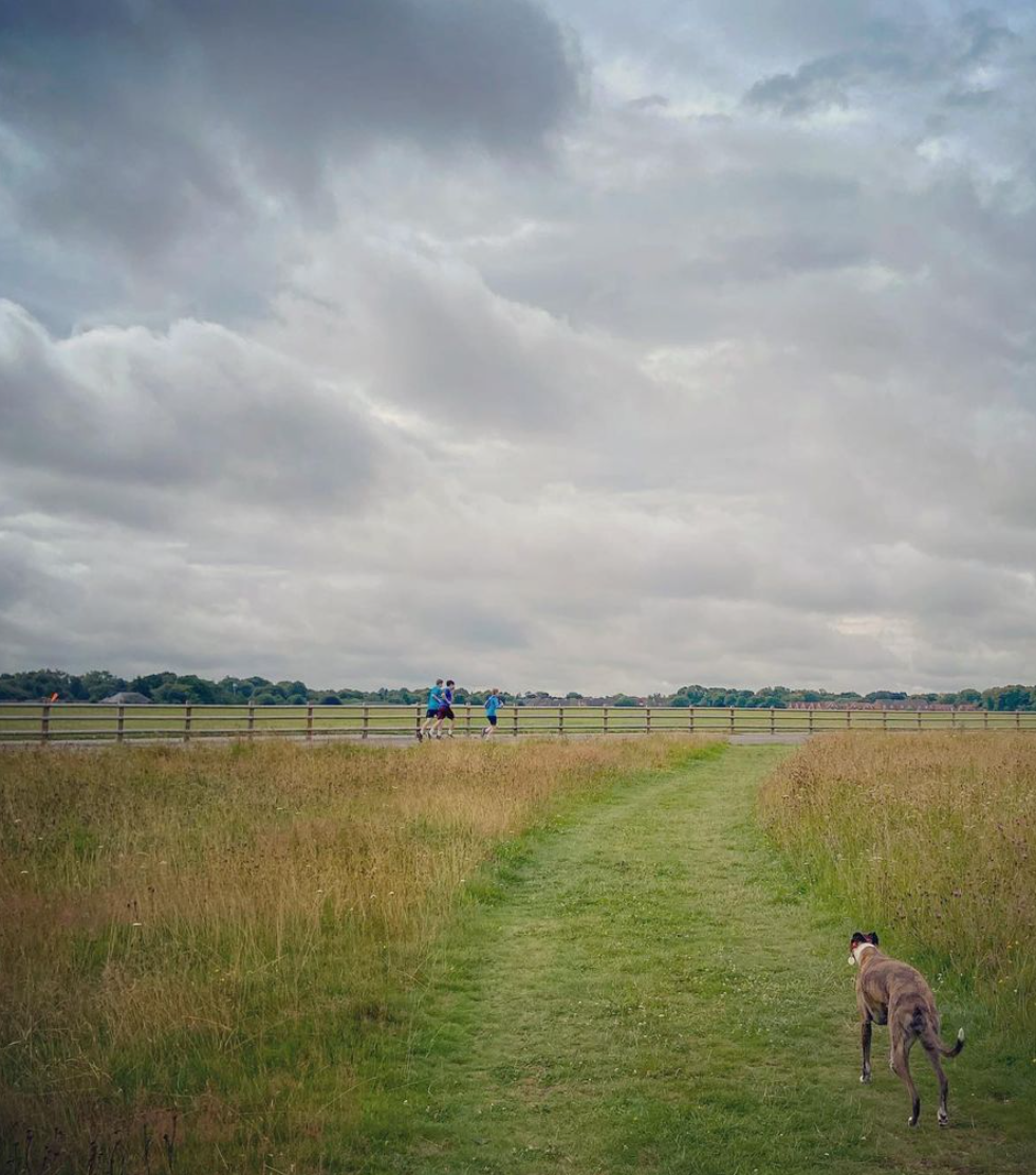
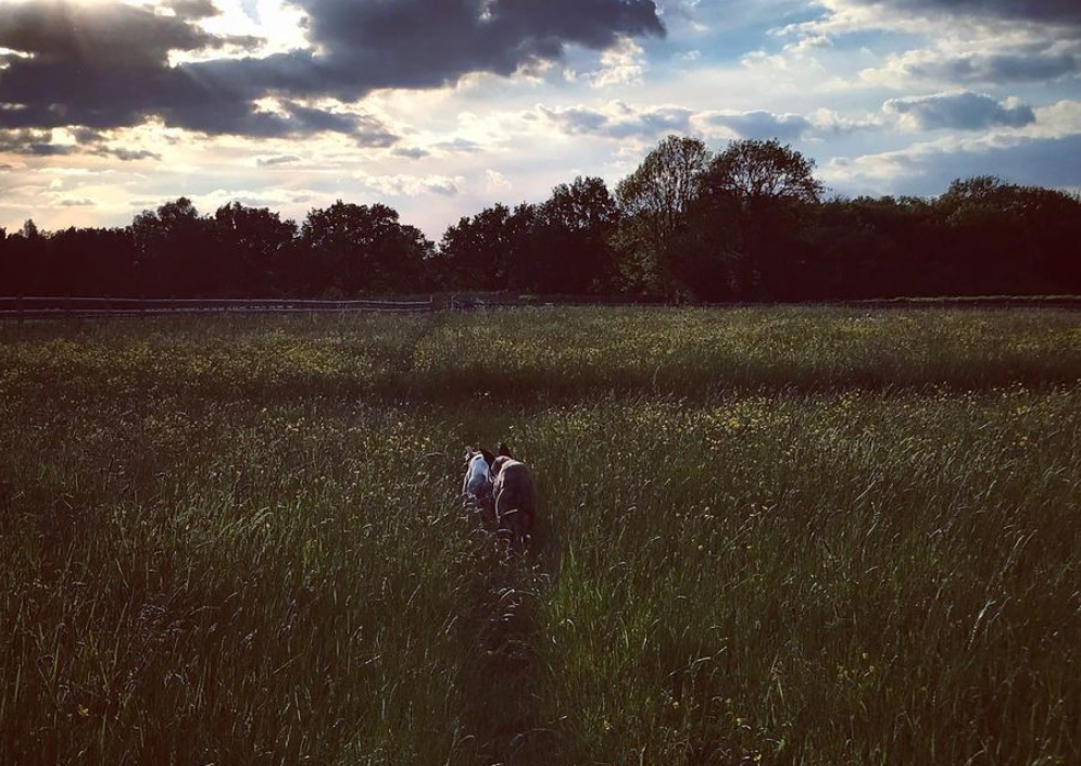
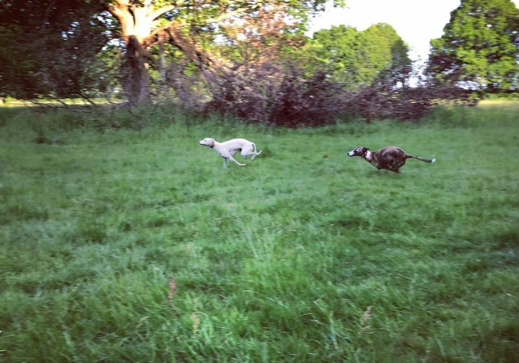
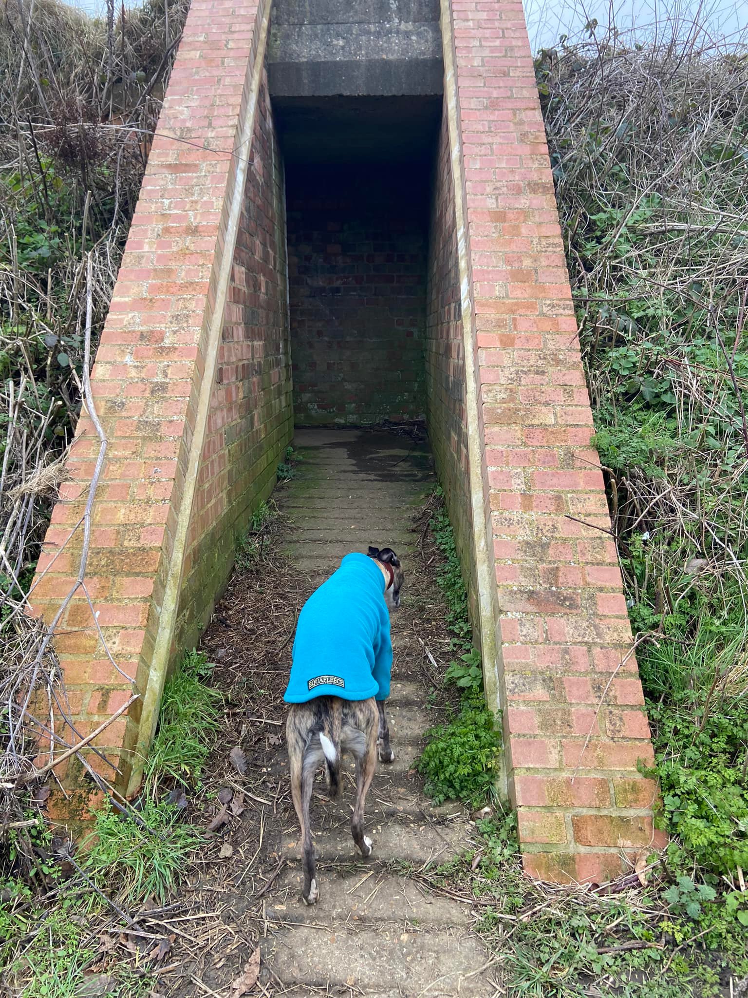
Gallery: What’s it like here?


Parking
There is no car park but you can park on the roadside along Hayes Lane. You can also park in Golf Road.
HAYES LANE
GOOGLEMAPS LINK: https://goo.gl/maps/niHZSvzjXRPsZW2r9
WHAT3WORDS: https://w3w.co/rugs.nasal.poker
NEAREST POSTCODE: CR8 5EG
GOLF ROAD
GOOGLEMAPS LINK: https://goo.gl/maps/CWZd9Y3Gs1D3E1m57
WHAT3WORDS: https://w3w.co/awards.teeth.truck
NEAREST POSTCODE: CR8 5ES
Poo bins?
Plenty of poo bins within the aerodrome grounds, please make use of them.
Accessing the airfield and runways
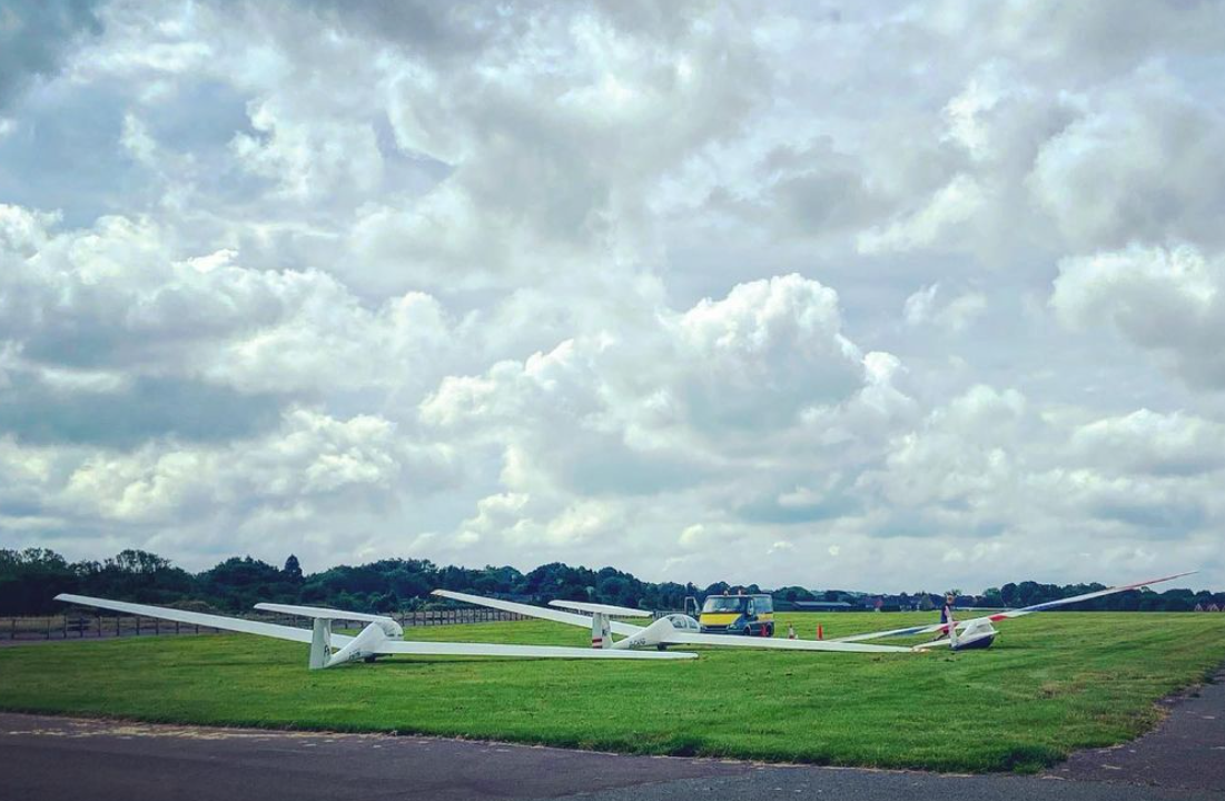
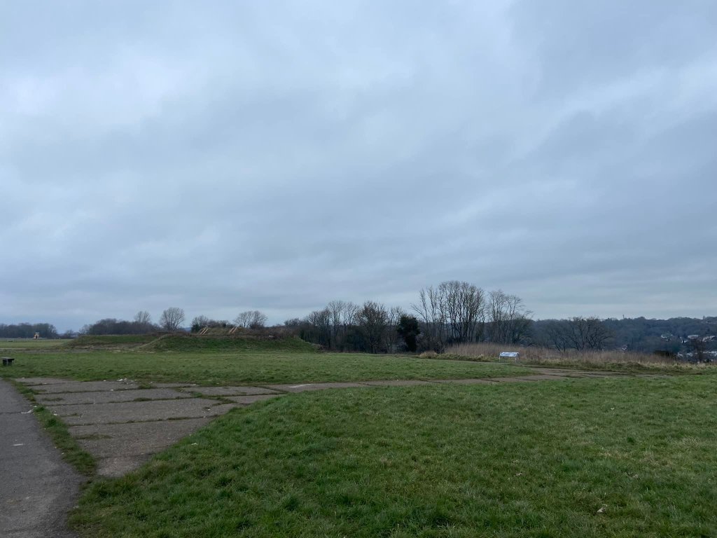
At intervals in the fence around the perimeter of the airfield, there are gates that provide access to the airfield and runways. If the gates are closed, it means that the airfield is in use so you may see gliders taking off (with the help of a big ground winch) or landing. You must not go into the airfield if the gates are closed. If they are open, you’re free to head inside the fence and walk across the grass and the runways, both of which are unkempt these days with grass breaking through the concrete in places.
Self-guided walk
Here is a Footpath app route for RAF Kenley and Kenley Common. Also on AllTrails. This walk takes you around the perimeter of the airfield, stopping at points of interest and historic structures along the way. It detours off into Kenley Common for the most northerly part of the walk, taking you through its ancient woodland, before returning to the aerodrome.
Length: approximately 2.5 miles/4km
Terrain: Flat, mainly on tarmac and concrete paths but also some mud and grass paths, which can be muddy/water logged in wet weather.
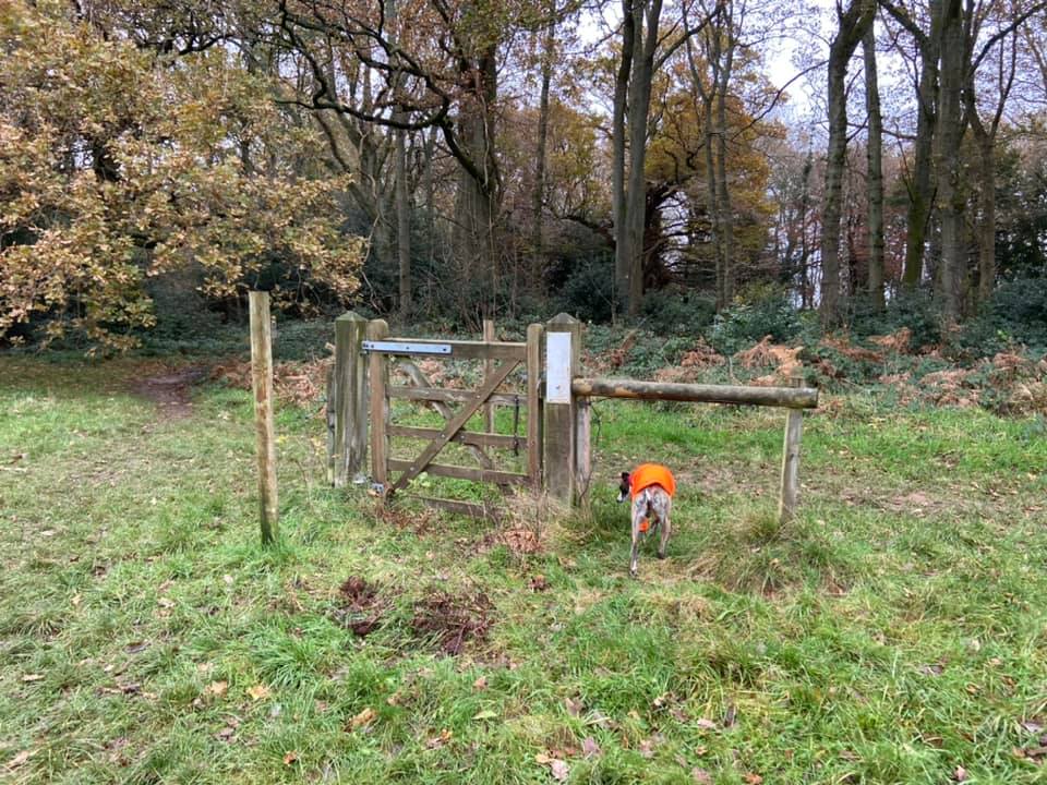
Stiles/kissing gates? No stiles, one kissing gate to access the site from the road
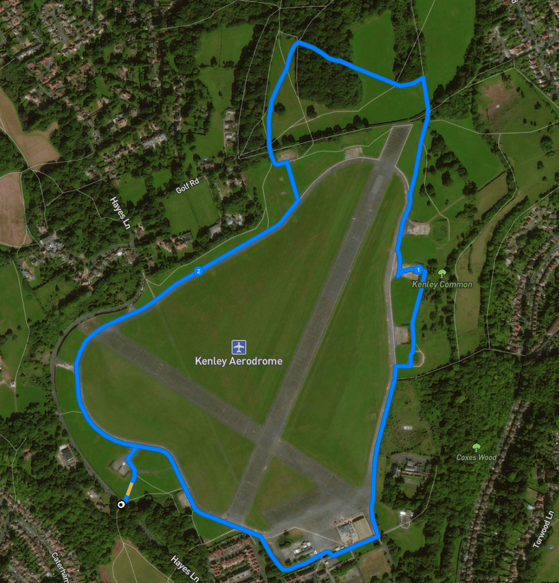
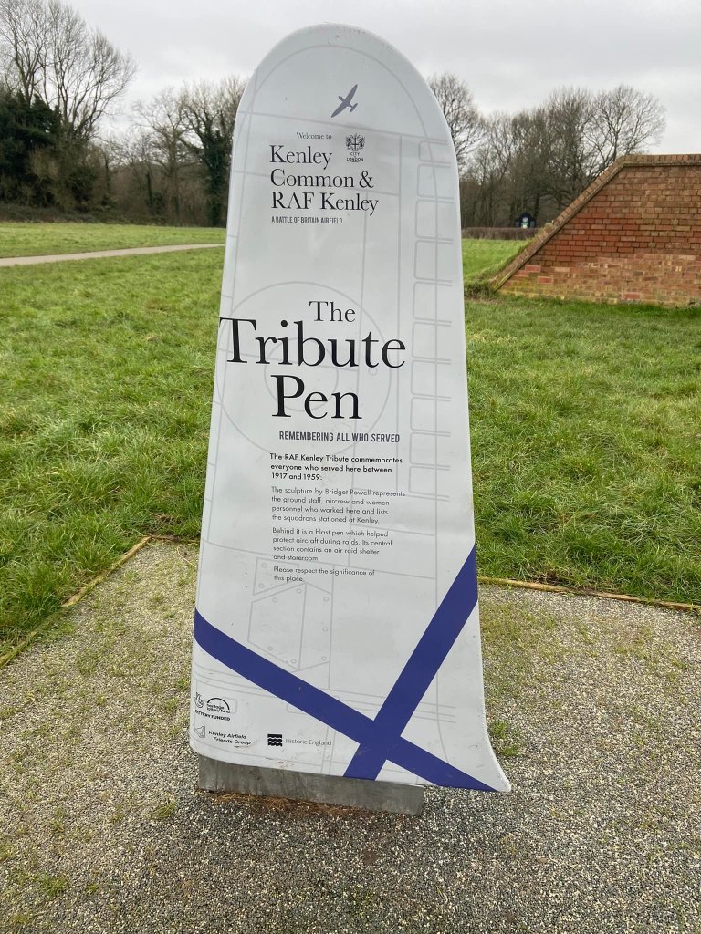
Park on the road along Hayes Lane, which runs along the bottom of the aerodrome grounds. With the road behind you, walk along the pavement to the right to the far end where there is a kissing gate entrance into the aerodrome on the left, with a ramp and steps up to a flag pole, which boasts a 2020/21 Green Flag atop. (On the opposite side of the road here there is a kissing gate into Coulsdon Common). Go through the kissing gate and up the steps or ramp and follow the tarmac path ahead, past a grey sign in the shape of a plane wing that welcomes you to RAF Kenley and Kenley Common.
The structure rising to your left is a blast pen, a brick pen that provided protection to aircraft on the ground, which were vulnerable to attacks during the world wars. There were originally 12 of these at RAF Kenley, each holding two aircraft (either Hurricanes or Spitfires) and having an air raid shelter in the back wall with room for up to 25 crew.
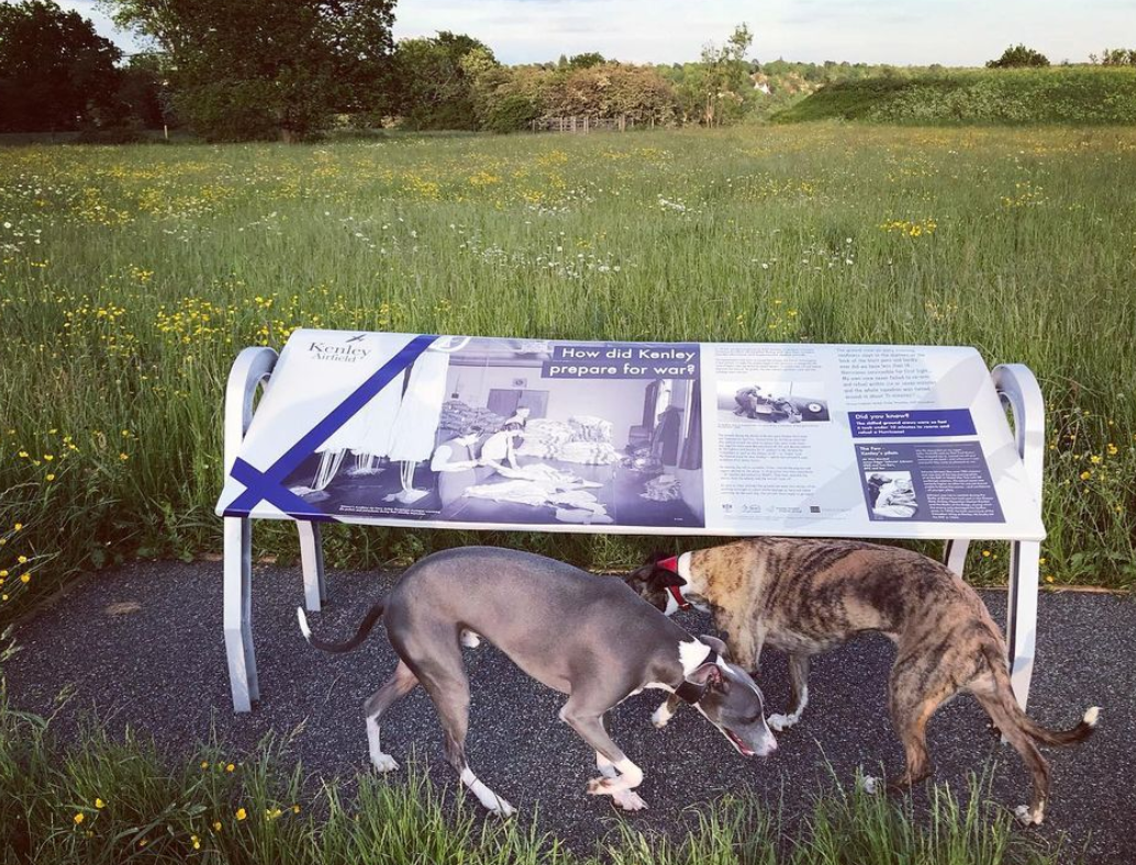
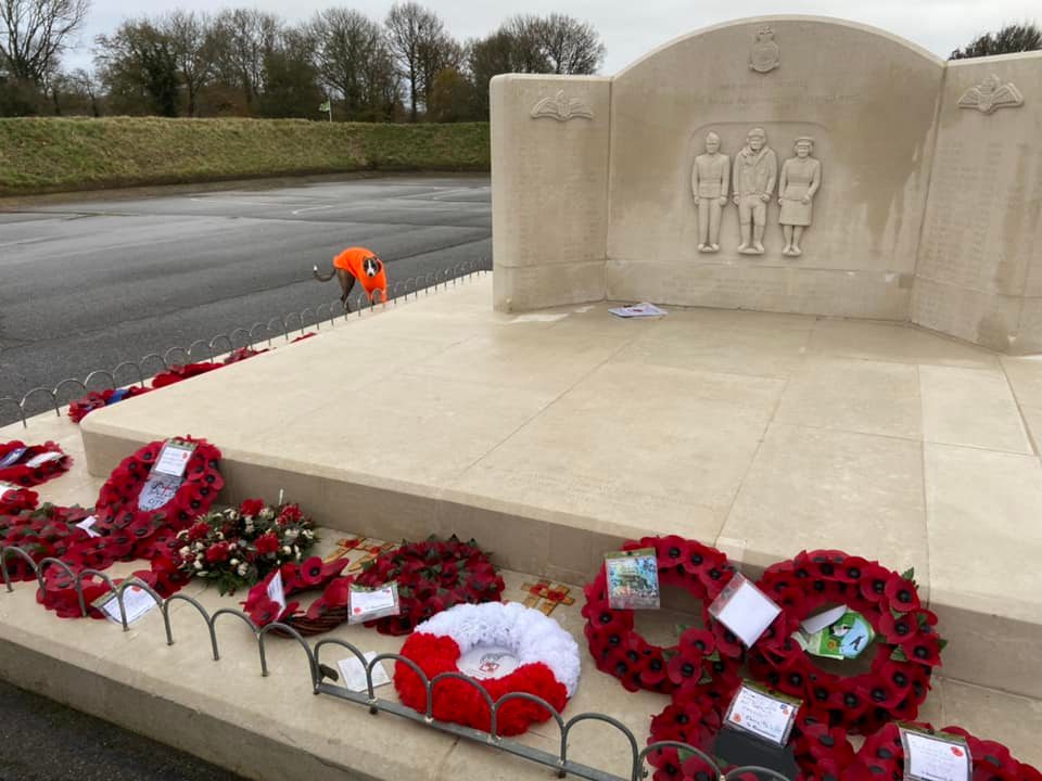
This particular blast pen is called the Tribute Pen, as a grey plane wing sign that you’ll shortly arrive at will tell you. Take a look at this memorial to those who served at RAF Kenley between 1917 and 1959, making sure you have a look at the two information boards here, one about the importance of remembering the conflicts of the past and the people involved; the other about how a pen provides protection for a plane. These are the first of many information boards around the aerodrome and this walk will take in most of them.

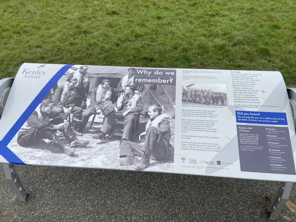
Those of you who enjoy Blackadder may recall the episode where Blackadder joins the ‘Twenty Minuters’ in an attempt to get out of the trenches, believing that the name comes from a pilot’s average flying time of 20 minutes. He then discovers that, actually, the name is derived from the life expectancy of a pilot being 20 minutes. Not everyone appreciates this dark humour, but a somewhat sober fact is that the average life span of a Spitfire pilot during the Battle of Britain was just four weeks.
When you’re done, with the memorial behind you and the fence around the airfield ahead, turn right and walk along the wide concrete track that runs around the airfield and runways, passing a wooden City of London board. At the next blast pen, you’ll find another information sign about how airfields were defended during the war – with anti-aircraft guns; an innovative ‘parachute and cable’ system that would drag down enemy aircraft; and forts, pill boxes and machine gun stations.
A little further on, there’s another information board, this one about why there was the need for a rifle range. In the distance behind this, you’ll see a housing estate. The old rifle range site is tucked into the corner next to the fence behind which are the houses and gardens. It was built in 1928 and is one of the oldest structures on the site today. Its walls are mostly buried now but some of the metal fixings for targets can be seen in the brickwork that does remain. Every year, those stationed at RAF Kenley had to complete ground defence training here.
Next, you’ll walk along the bottom of the longer of the two runways. If the gate here is open, go inside the fence and follow the curve to the left. Then walk straight across the expanse of concrete to the gate on the fence opposite, passing the green railings and huge hanger on the right. If the gate is not open and the airfield is in use, remain on the outside of the fence. You’ll have to take the longer route around the outside, which means continuing with the fence line, then following it round to the right. After this corner, on your left you may see long trailers lined up; these contain gliders. Continue on this path as it corners to the left and then, with the green hanger building ahead, follow the fence line to the right and through the hedge. Turn left at the grey railings and left again at the end of the green railings so the RAF Portcullis clubhouse will be on your right. You’ll now be walking alongside the airfield again.
Pass the orange windsock, then turn right immediately after a grey plane wing RAF Kenley sign and a black city of London Kenley Common sign. Walk down to a grassy mound with an information board in front of it and another blast pen to the left.
The information board here explains about the operations room and how pilots were sent to the action. Kenley’s operations room was destroyed in an air raid on 18 August 1940. From the board, walk along the back of the blast pen and straight to the rear of another pen structure with another information board next to it, which describes what it was like to live alongside a working airfield. Kenley was a war time target and during the Blitz, between 7 October 1940 and 6 June 1941, no fewer than 116 bombs were dropped on the area.
Go through the opening in the rear of this pen and out to the concrete area where the planes would have been kept.

Here there are a couple of signs to look at: one information board about wartime pilots, and a grey plane wing sign explaining that this particular pen has been named the ‘Blast Pen with surviving spine wall’.
Continue on the main track running around the airfield perimeter and the fence to your left will turn at a right angle out a short distance and then it will continue on. Here there’s an information board about how Kenley prepared for war.
Carry on the main track, but look out for a grassy path coming off to your right shortly after and take this across the grass down towards the corner hedges of the grounds and a grey plane wing sign. Keep the sign on your left and turn right through the gap in the hedge, then immediately left onto the mud path.

Walk ahead a few steps and you’ll be at a junction of several paths. The path to the left has hedges on either side. Immediately to the right of that, there is a gap in the hedge. Immediately to the right again – and basically straight ahead on the path you’re already on – there’s another hedge-lined path. Continue straight and, after a short distance, ignore the gap in the hedge on the left, keeping on a little further to another gap in the hedge on the left (just before the path heads into the woods.)
Pass through the hedge gap into the fields of Kenley Common. Walk straight with the treeline on your right and when you get to the corner, where the treeline veers sharply away to the right, take the small grassy path that runs from this corner on a diagonal slightly to the right across the field to the woodland opposite. Pass into the woods on a narrow path flanked by scrub and brambles. When you get to the cross paths, continue straight over and take the right hand path at the fork, over a small log. At the next cross paths, go straight across again, forking right again towards the open area ahead. When you emerge from the trees, there’s a lone gate standing in the space. Clearly there used to be a fence here, but it is no more. The gate still works though – feel free to go through it.
At the gate, take the path that runs diagonally across the open space to the left slightly (towards another gate with no fence on the other side of the field). About halfway across this space, go straight over the grassy cross paths. When you get to the next junction, turn left onto the wide grassy path and walk straight ahead towards the hedge, which has another blast pen behind it.
Go through the gap in the hedge, across the wide mud path and follow the path as it runs down the side of the pen, snaking to the left around it and then curving round to the right, where there is an information board about the Kenley Revival Project. When this path meets the main perimeter track next to the wooden board, turn right and continue on your way alongside the airfield. Stop at another information board – this one about 18 August 1940, dubbed the ‘Hardest Day’ because of a serious air attack, which caused major damage to the barracks, Sergeants’ Mess and runway. Nine people were killed.
Ignore the path to the right that leads out of the airfield and continue as the track bends round to the left. There’s one final information board on this particular walk, which explains what happened at RAF Kenley before and after the wars, including its use as a golf course and a film location. Follow the main track back to the Tribute Pen where this walk started and head right, down the path and out to the road.

Leave a comment