
Page contents
About
Gallery
Parking
Poo bins?
Self-guided walk
About
Limpsfield Chart is a village just south of Oxted, Limpsfield and the A25. The word “chart” comes from the Old English “chert”, which means rough ground.
The High Chart, adjacent to Limpsfield Chart, is a large area of ancient woodland owned by the National Trust and the Titsey Estate. It consists mainly of evergreens, conifers and beech trees – some of which are around 200 years old – with large areas of heather bracken and birch, and lies at the southernmost point of the Titsey Estate, one of the largest surviving historic estates in Surrey, dating back to 1534.
The woodland’s grounds are carpeted with bluebells in spring. Its pond, formed by the Yaldon Spring – one of several natural springs on the northern slope of the Greensand Ridge – is a favourite spot for frogs, so look out for frog spawn and tadpoles in the spring.
The remains of a Roman road – the 44-mile London to Lewes Way from Peckham to Lewes – pass through the High Chart, and its woods are also home to the halfway point of the Greensand Way, a long distance footpath running for 108 miles along the Greensand Ridge between Haslemere in Surrey and Hamstreet in Kent.
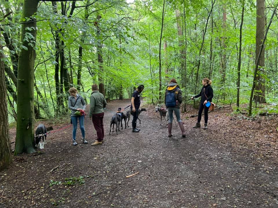
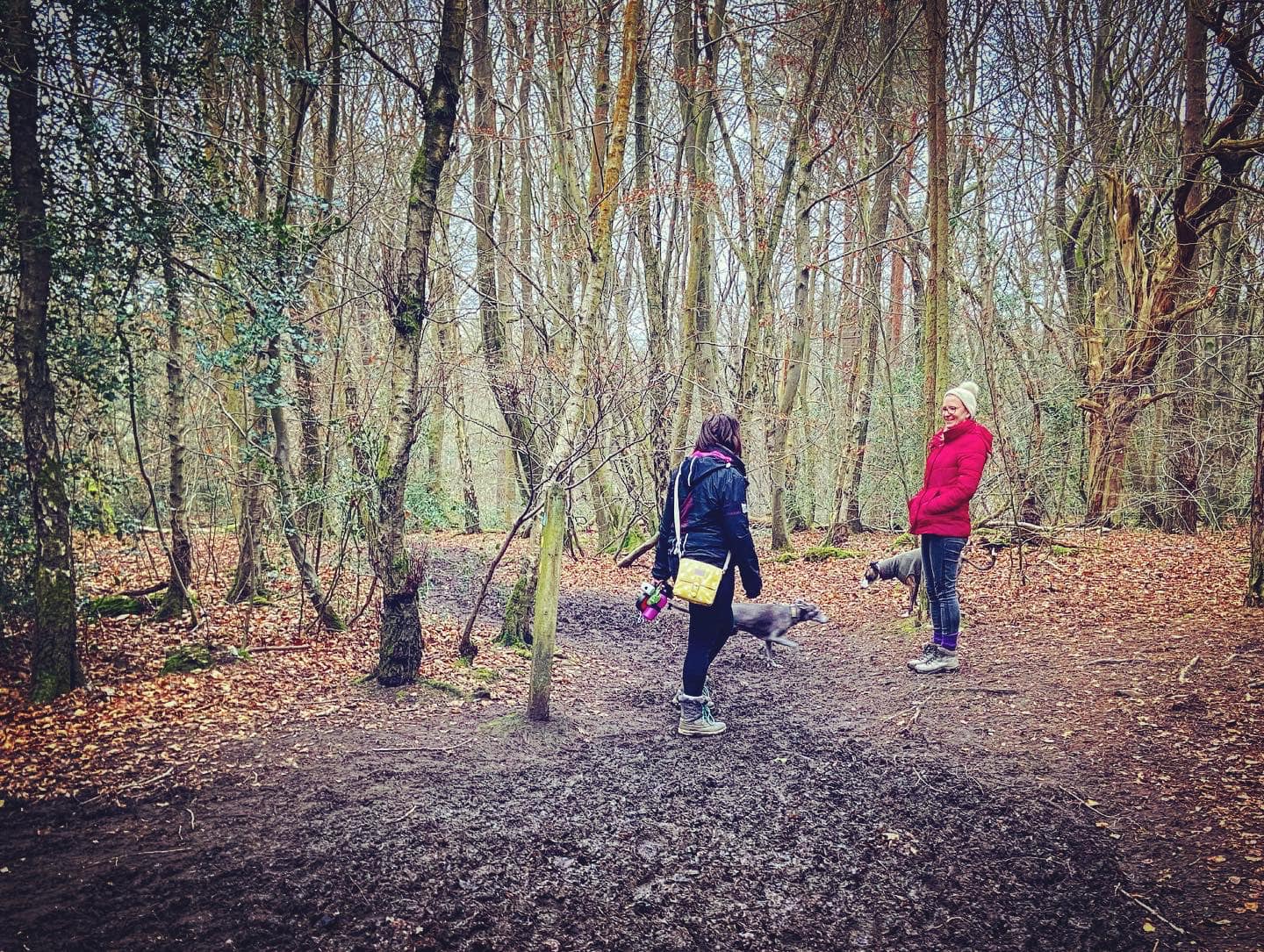
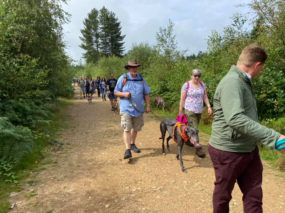
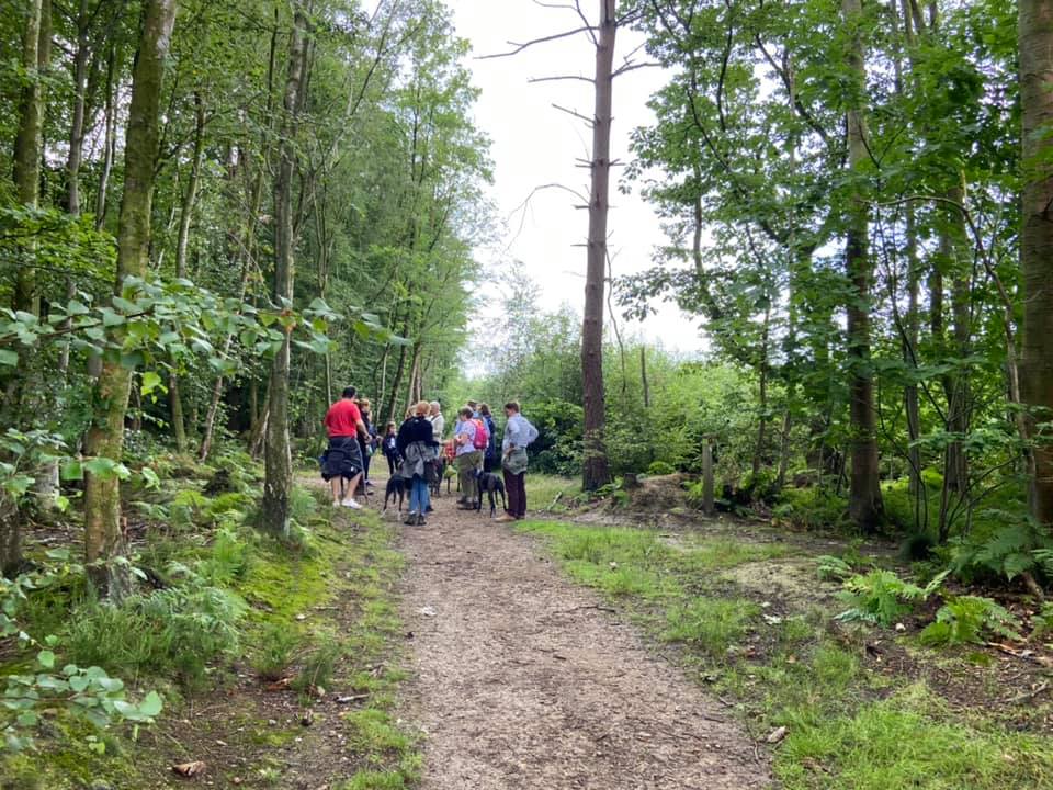
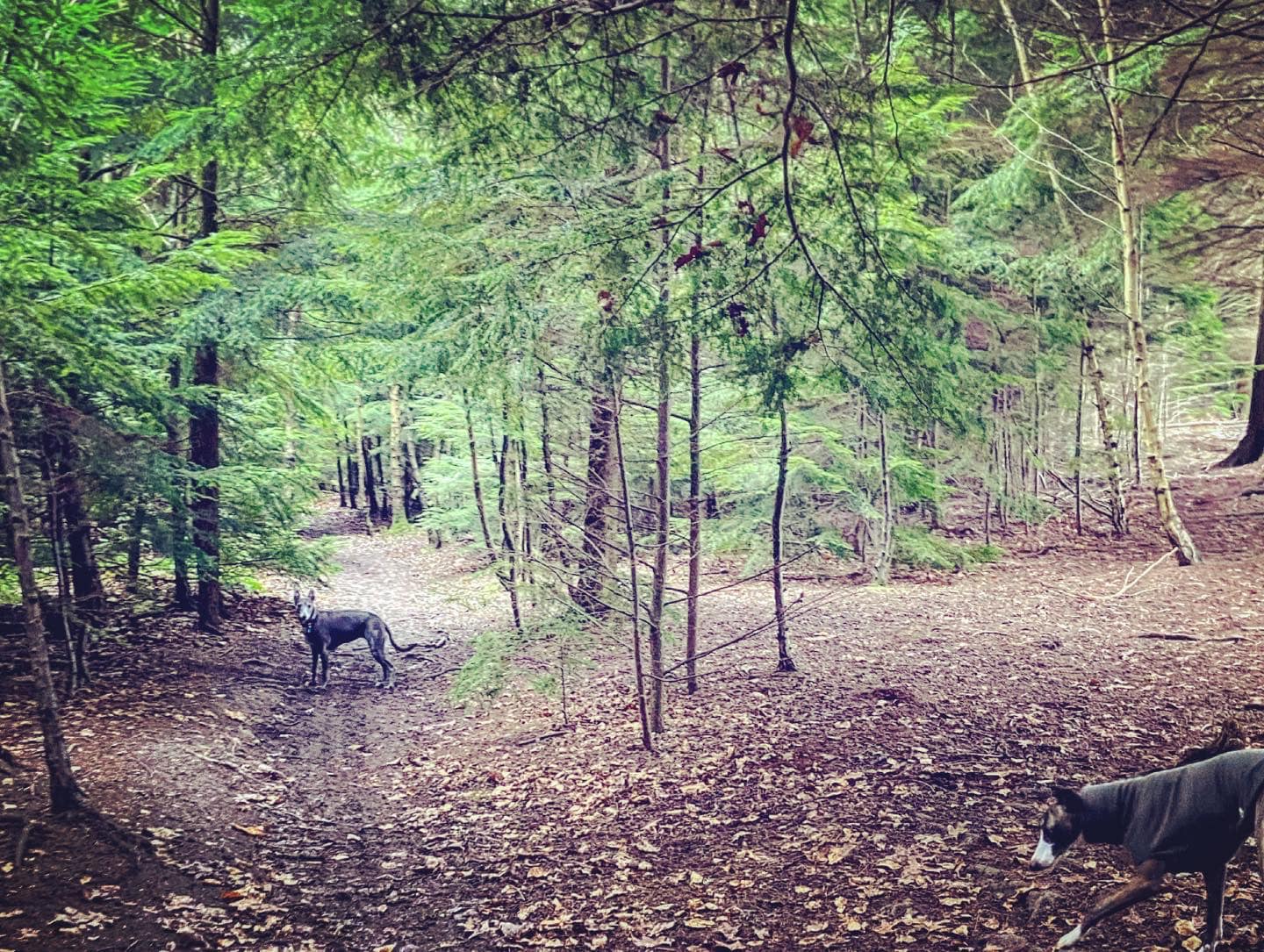
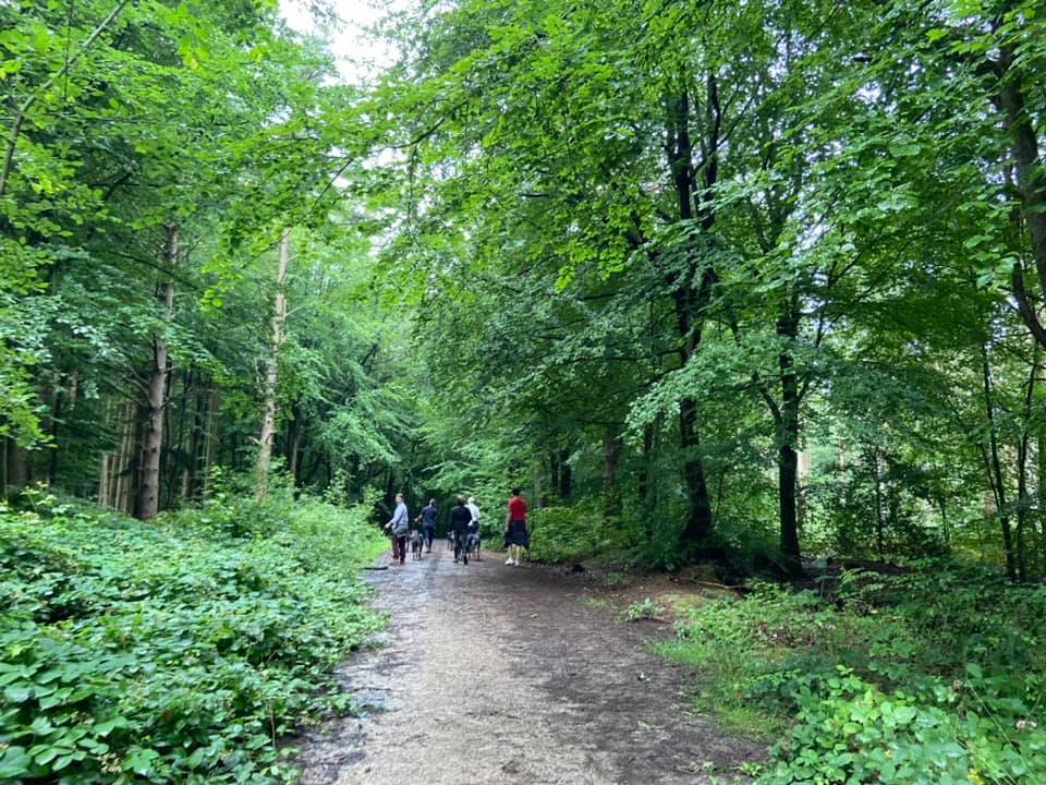
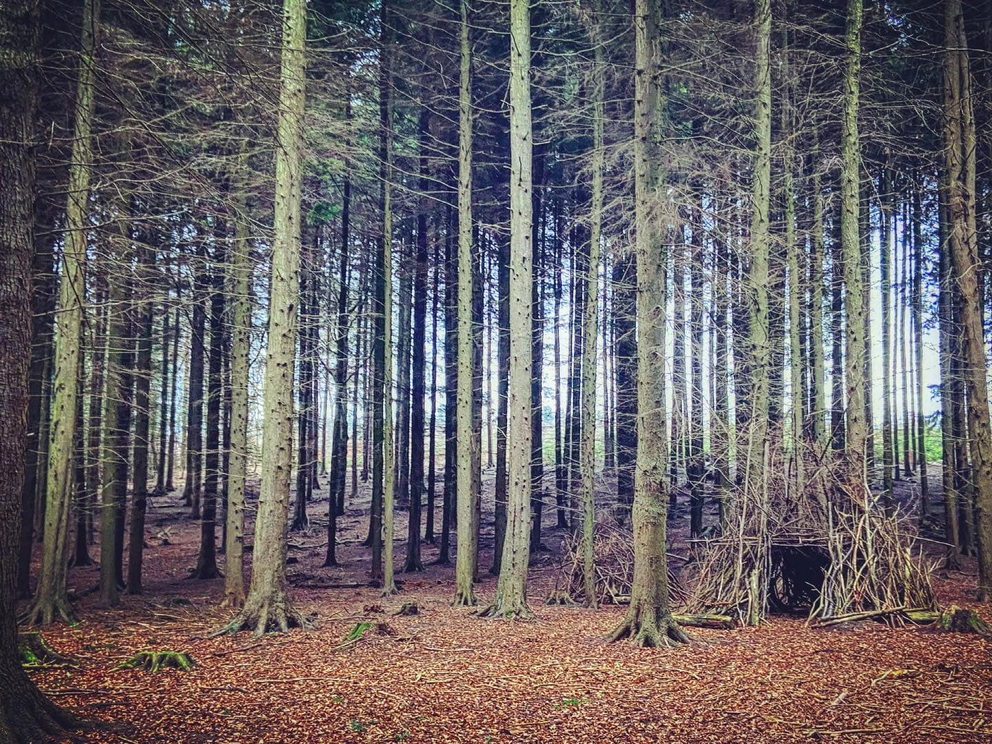
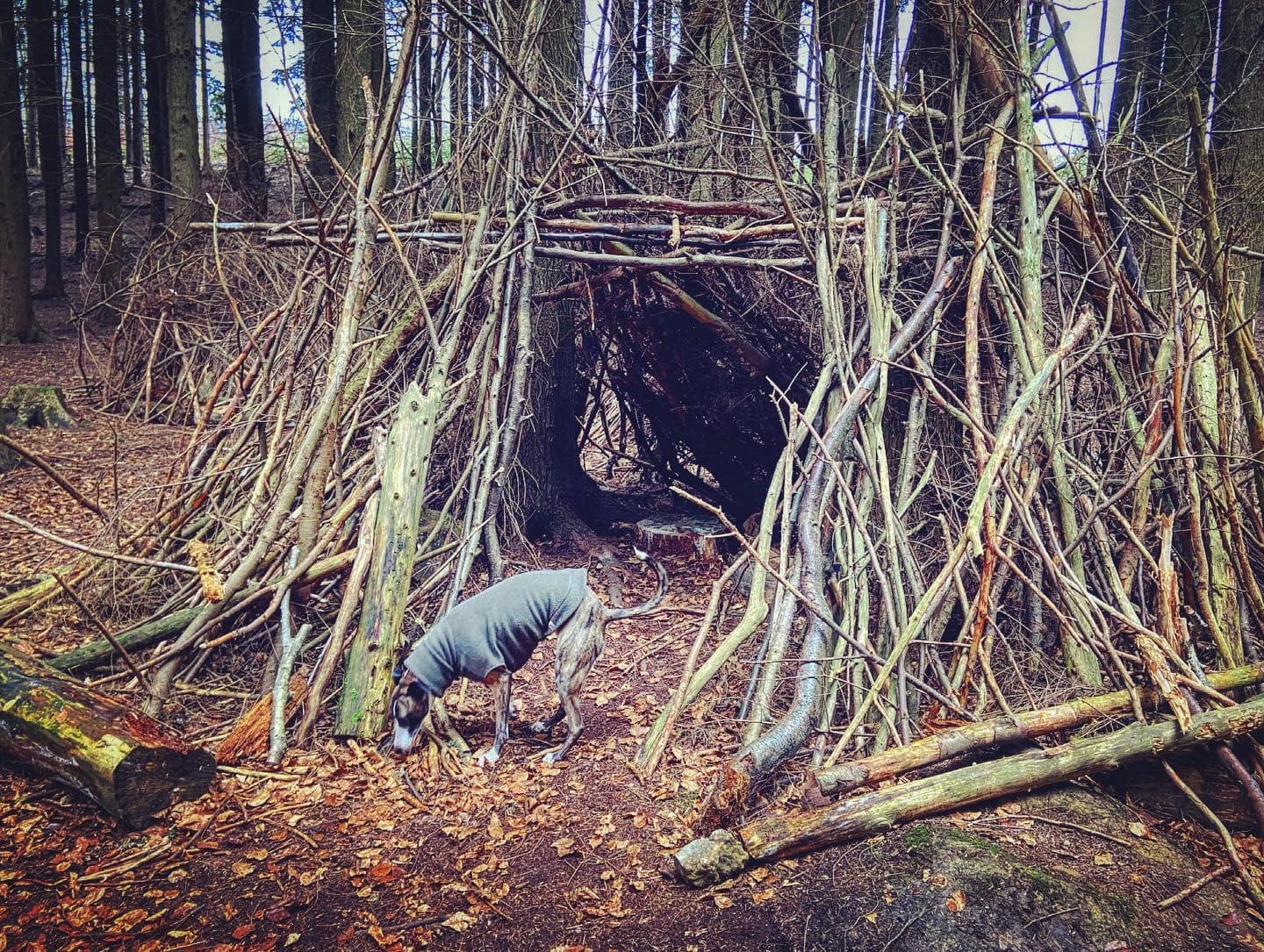
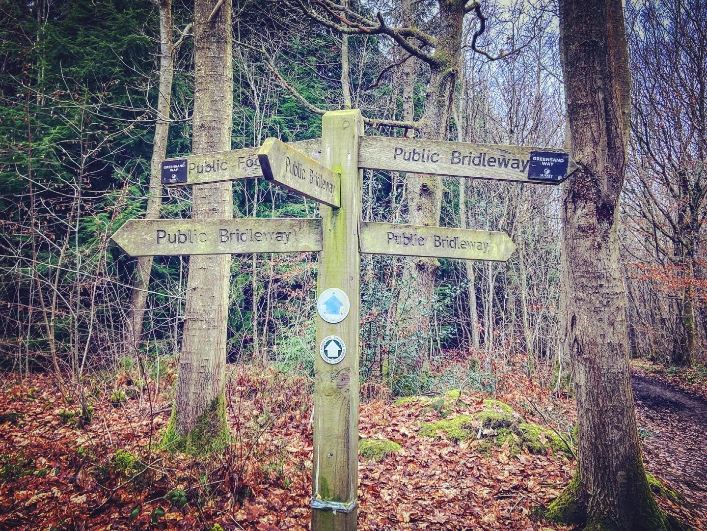
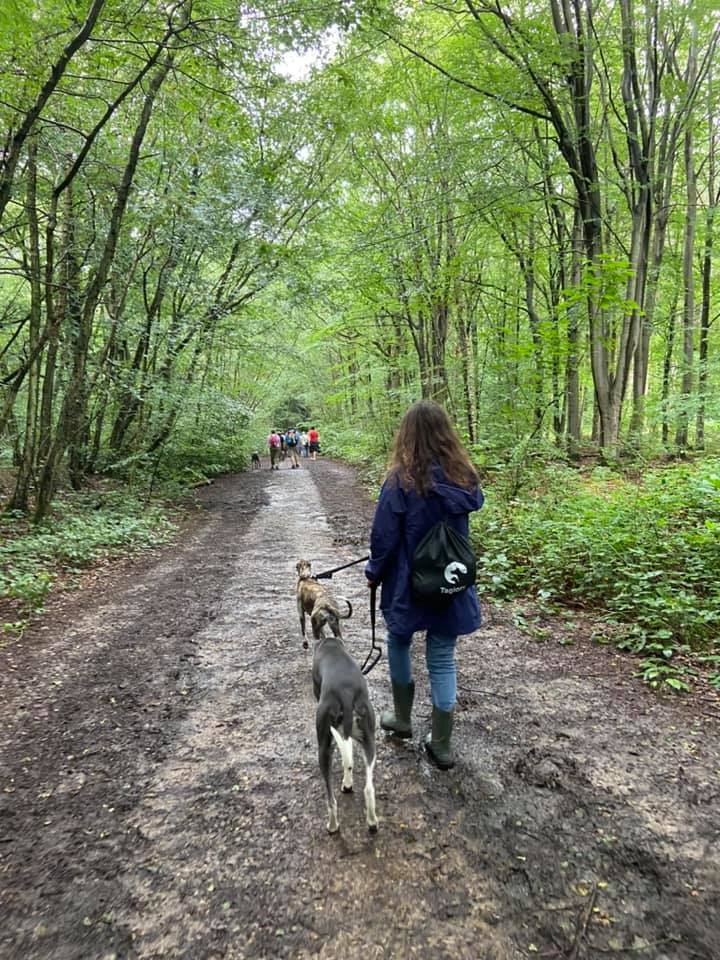
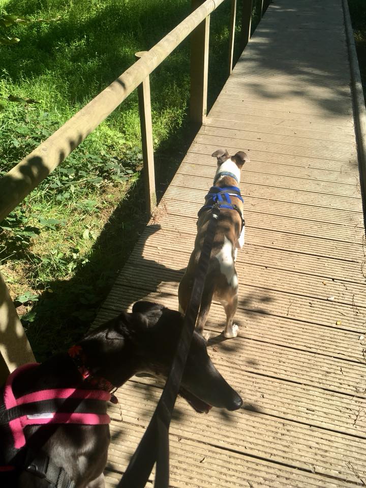
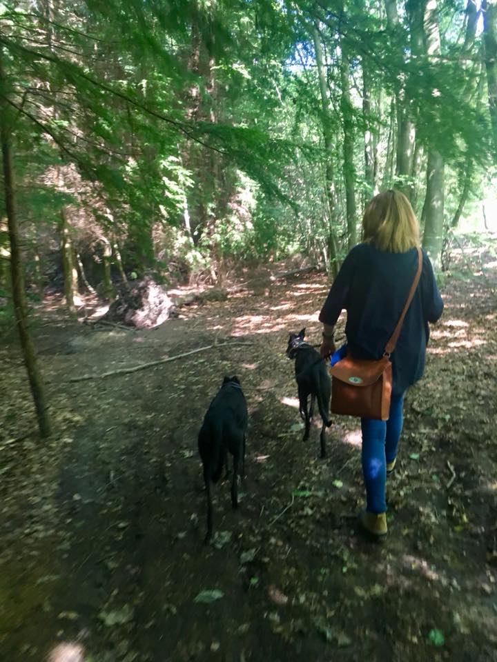
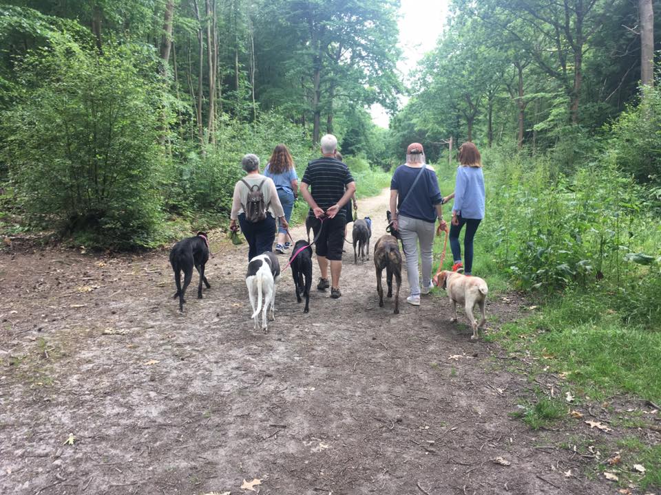
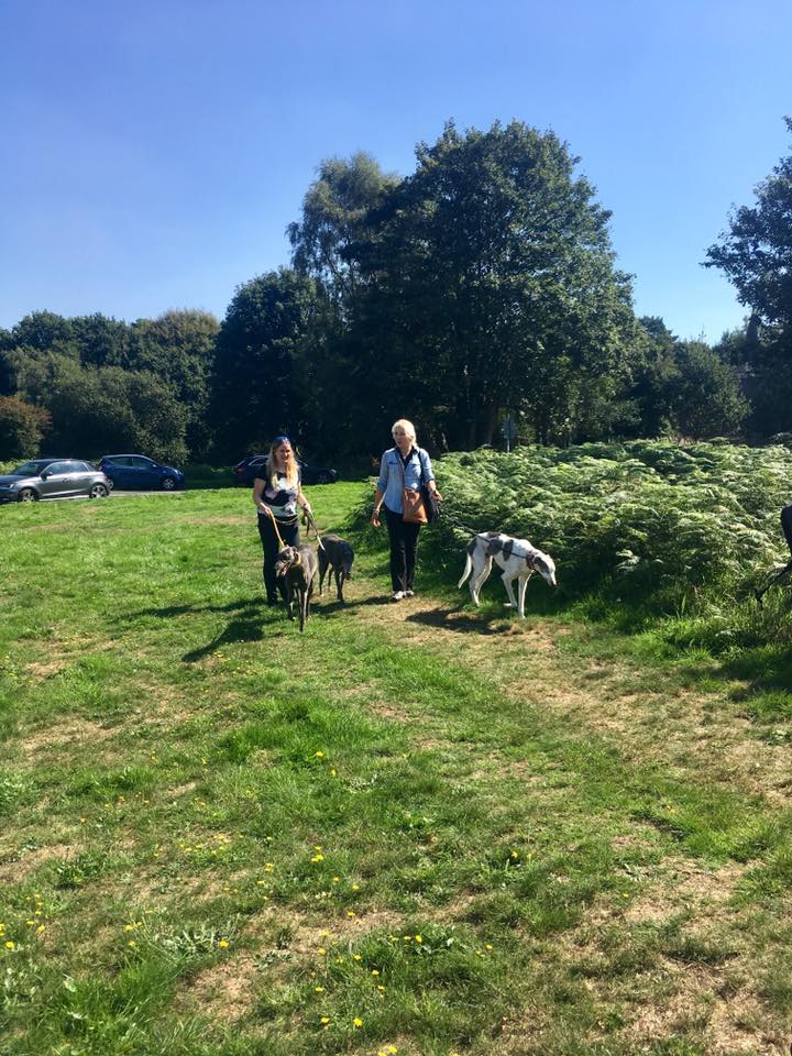
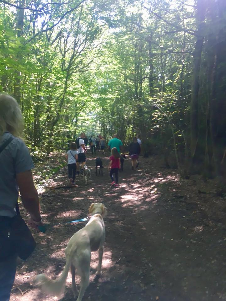
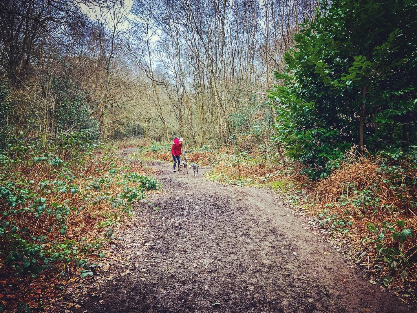
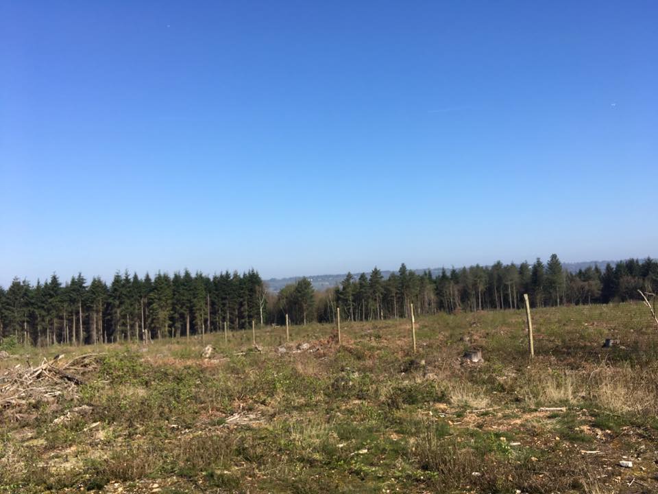
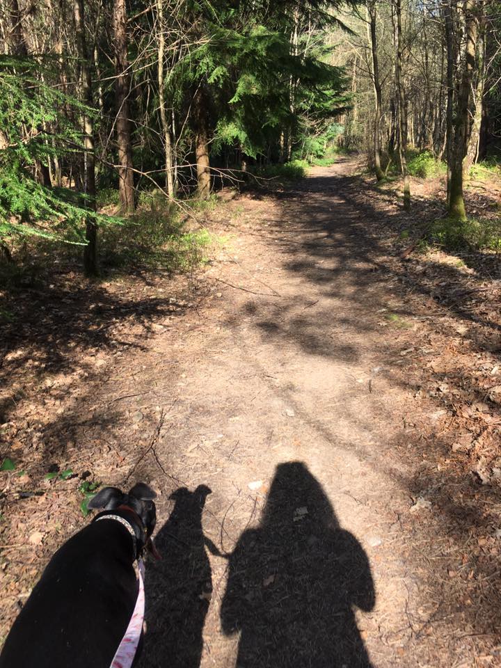
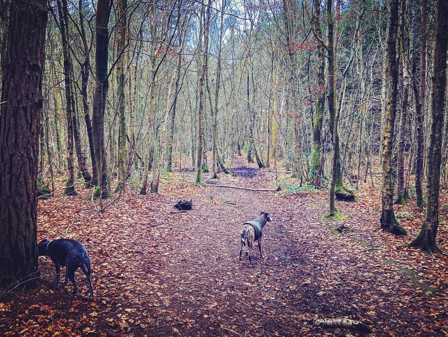
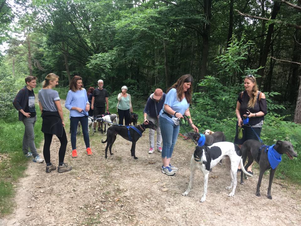
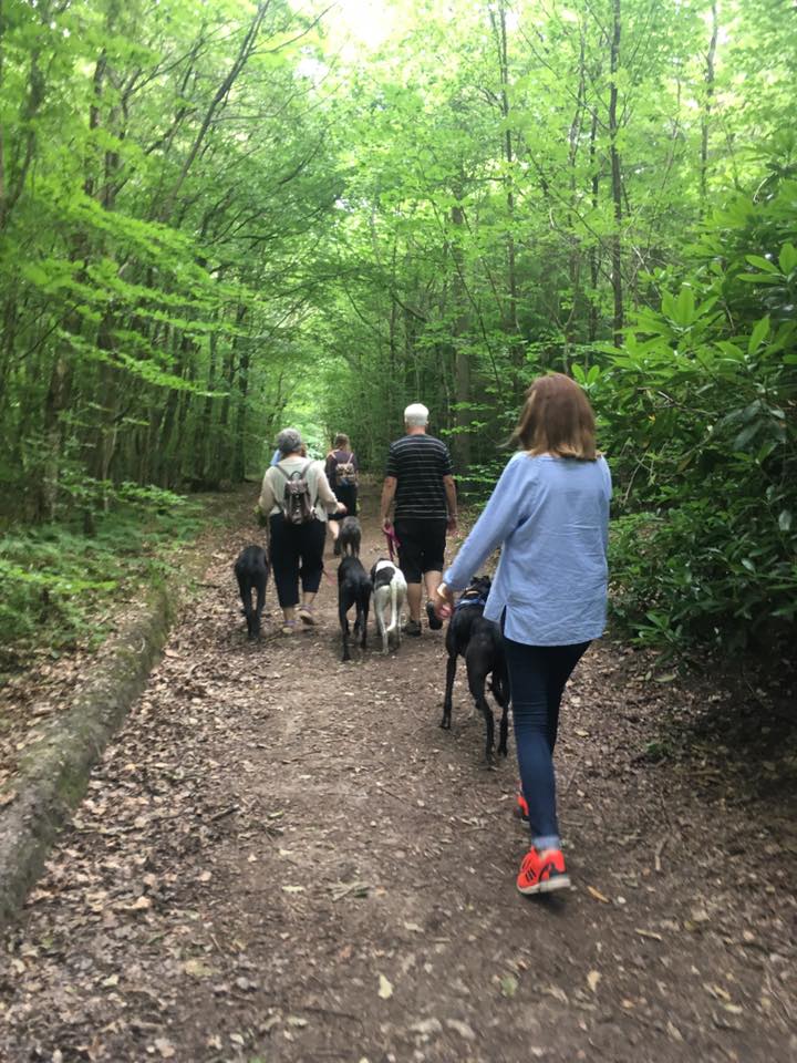
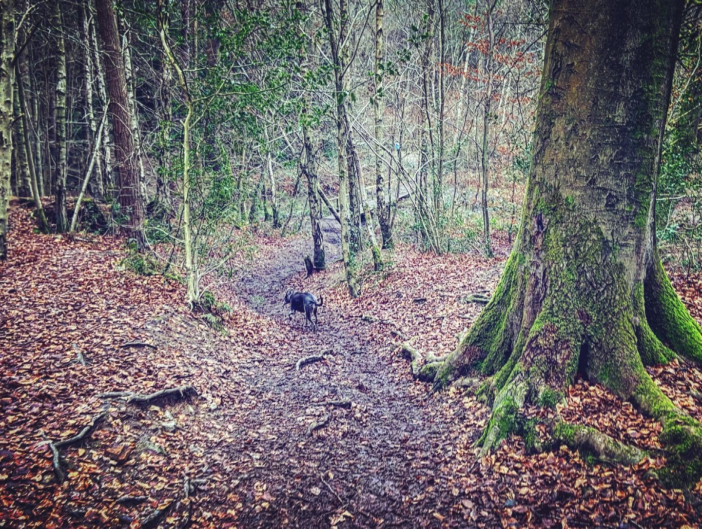
Gallery: What’s it like here?


Parking
I usually park at the parking area on Tally Road opposite the Carpenters Arms and the green, which has a large dog-friendly garden and allows dogs in the (fairly small) bar area. You can park on the roadside on Tally Road, Ridlands Rise and Stoneleigh Road.
GOOGLEMAPS LINK: https://goo.gl/maps/z5BMZ1MSJ15KF7Mp6
WHAT3WORDS: https://w3w.co/bats.souk.drill
NEAREST POSTCODE: RH8 0TG
There are a couple of small car parks on Moorhouse Road, one opposite St Andrews Church and the High Chart free National Trust car park further along the road.
On the main Kent Hatch Road, there are two car parks – Kent Hatch Road car park and Scearn Bank car park (which is on the other side of the road to the Chart woodlands).
Poo bins?
At the car park opposite the pub and just as you enter the Chart.
Self-guided walk
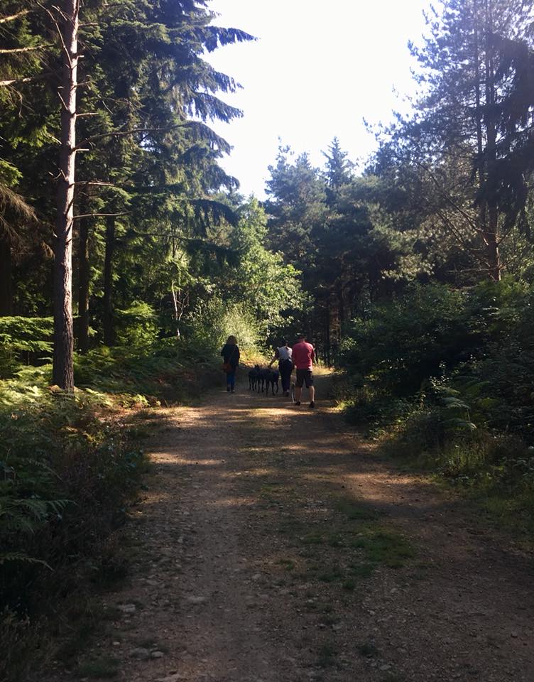
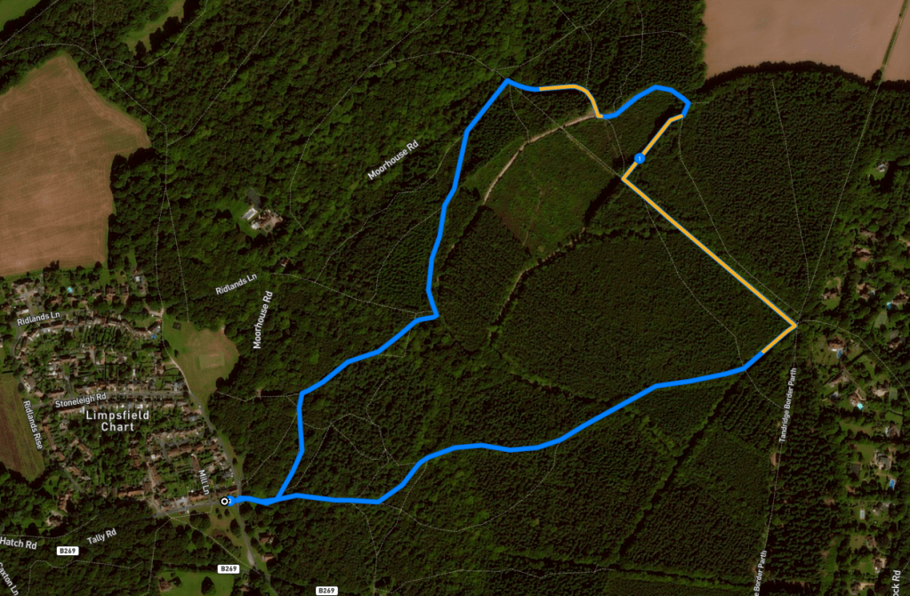
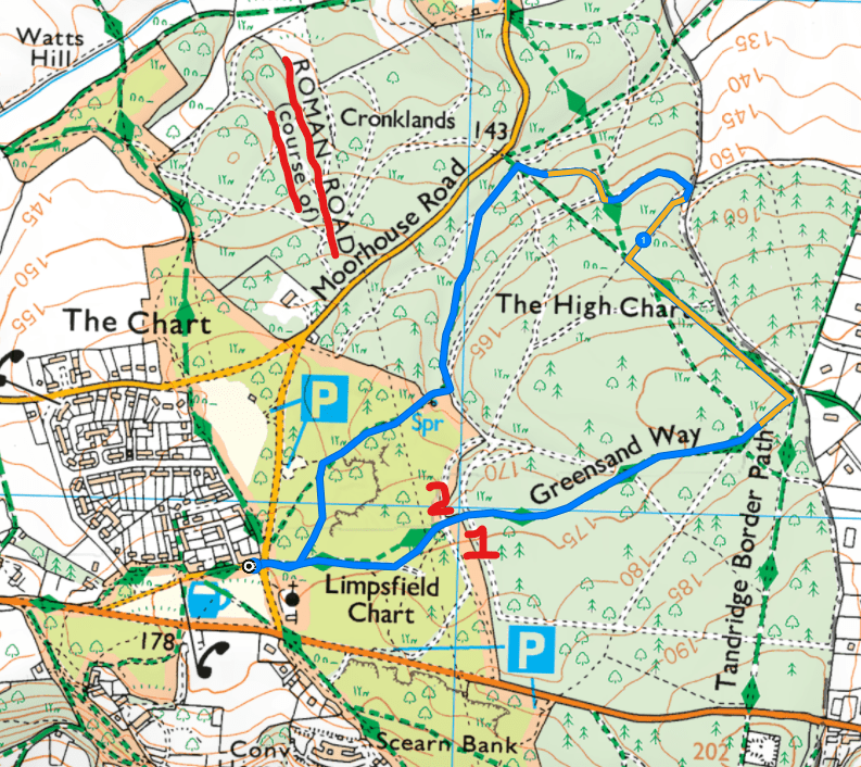
Here is a Footpath app route for Limpsfield Chart. Also on AllTrails. This walk starts at the green opposite the dog-friendly Carpenters Arms pub, and will take you through the woods, across a pond with a bridge, through a plantation and along a very short stretch of the Greensand Way.
Length: 2 miles/3.2km
Terrain: Mainly flat through woodland with a couple of not-too-awful slopes. It can be very muddy in autumn/winter so wellies/waterproof boots are a good idea.
Stiles/kissing gates? No stiles, no kissing gates
Start on the green in front of the Carpenter’s Arms, which has been a drinking establishment since the 1800s. With the pub behind you, walk to the left along the green, parallel with Tally Lane. Diagonally right, you can see the church of St Andrew over the road, which dates from 1896, although you might not believe it from its rather modern looking design. Its tower was added in 1902 and new vestries around 1960.
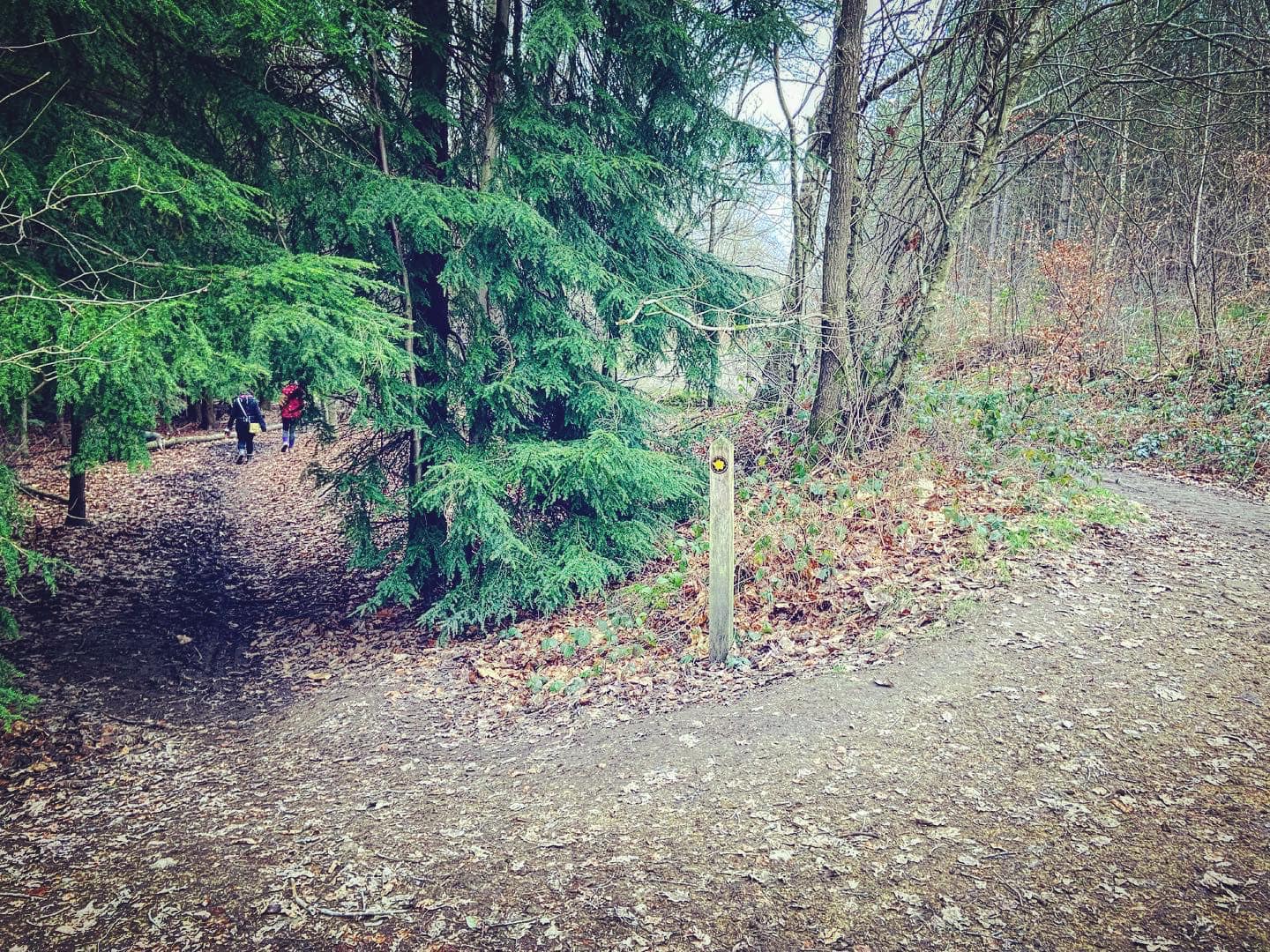
At the end of the green, cross the road and take the footpath through the wooden bollards into the Chart, passing a poo bin on the left. A bit further on, go left at the fork. This wide path has had gravel placed over it since I wrote this post as it could be muddy between autumn and spring. Ignore all paths off it and go all the way to the end, and turn right onto the path with a way marker post that has a right hand arrow on it. If you look to the left, you can see High Chart car park.
When this path starts to bend to the right with another path coming off straight ahead, take the straight ahead option. You’ll come to another fork, this time with a NT post in the middle of the two paths. Bear right and the path will descend to the pond.
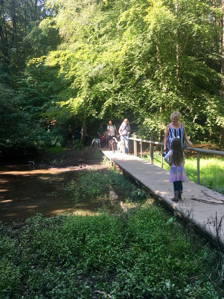
While it might look like your bog standard muddy pond (and more like a puddle in the hot summer months), this is actually Crystal Lake, a natural spring water pool fed by the Yaldon Spring, which apparently emerges from the roots of a nearby ancient Beech tree. I have to admit I haven’t actually looked for the tree and I know you shouldn’t necessarily believe what you read on the internet but what would the motive be for lying about the source of a spring?
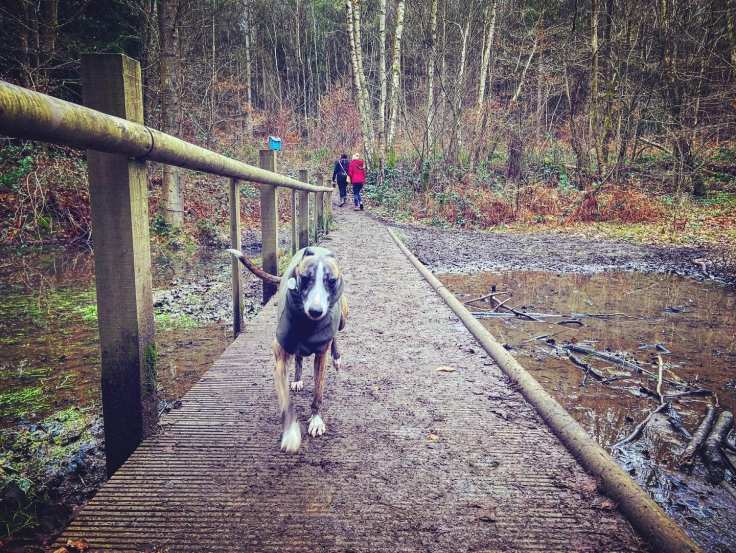
Cross the boardwalk bridge and pass the Whitgift Foundation Titsey Estate sign. Just after the Titsey Estate sign, take the little path immediately to the left of the marker post, which goes between fir trees (rather than going ahead up the slope to the large, open path).

This used to be a lovely sheltered little path with tall trees either side but a lot were cleared in 2024 so it’s now (March 2025) really quite open. It can be muddy in places and it still narrow at points.
At the end of the path, turn right and walk up the stony path that goes uphill. Almost immediately there are two more uphill paths to the right, keep to the left one as it’s the shallowest slope of all of them. It’s straight, then curves to the right and passes a way marker post, which is on your left. At the big T junction at the brow of the hill at the end of this path, turn left.
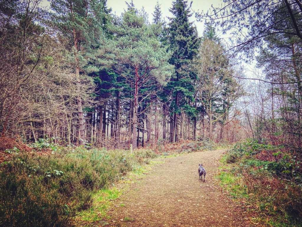
You’ll continue to have tall fir type trees on your left and more scrub-like vegetation on the right. Ignore the path that goes off right into the scrub and continue on the wide stony path. I always think the really tall trees that form the dark wood to the left look really spooky. As it bends to the right, the path will narrow. Keep following it around to the right, ignoring a path that comes in from the left and you’ll get to a triangular shaped junction. Keep right here, skirting the scrub (and some Christmas trees) on the right. It’s still stony underfoot, rises up and round to the left then straightens out.
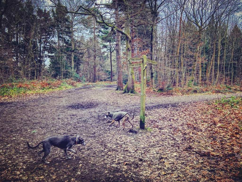
At the next junction of paths, which has a way marker post on the right-hand side, turn left. Ignore the path that comes off diagonally right next to another way marker post shortly afterwards and stay on the wider path that stretches straight out ahead. Go straight over the cross paths next to the FIRE DANGER sign (on the right). At the big junction with the five pronged finger post, turn right onto the Greensand Way. This finger post marks the halfway point of this 108 mile footpath.
Then at the next cross paths, by a small way marker post, take the path that bears off ahead diagonally right (the yellow arrow on the black circle on the post points this way). It’s another little path that can often be churned up and a bit muddy, but it’s nicer and more sheltered than the main path. (I tend to find the big trunk paths that cut through The Chart quite dull to be honest). On the left, the fir trees are really dense and tightly packed – another wood that I think looks really spooky!
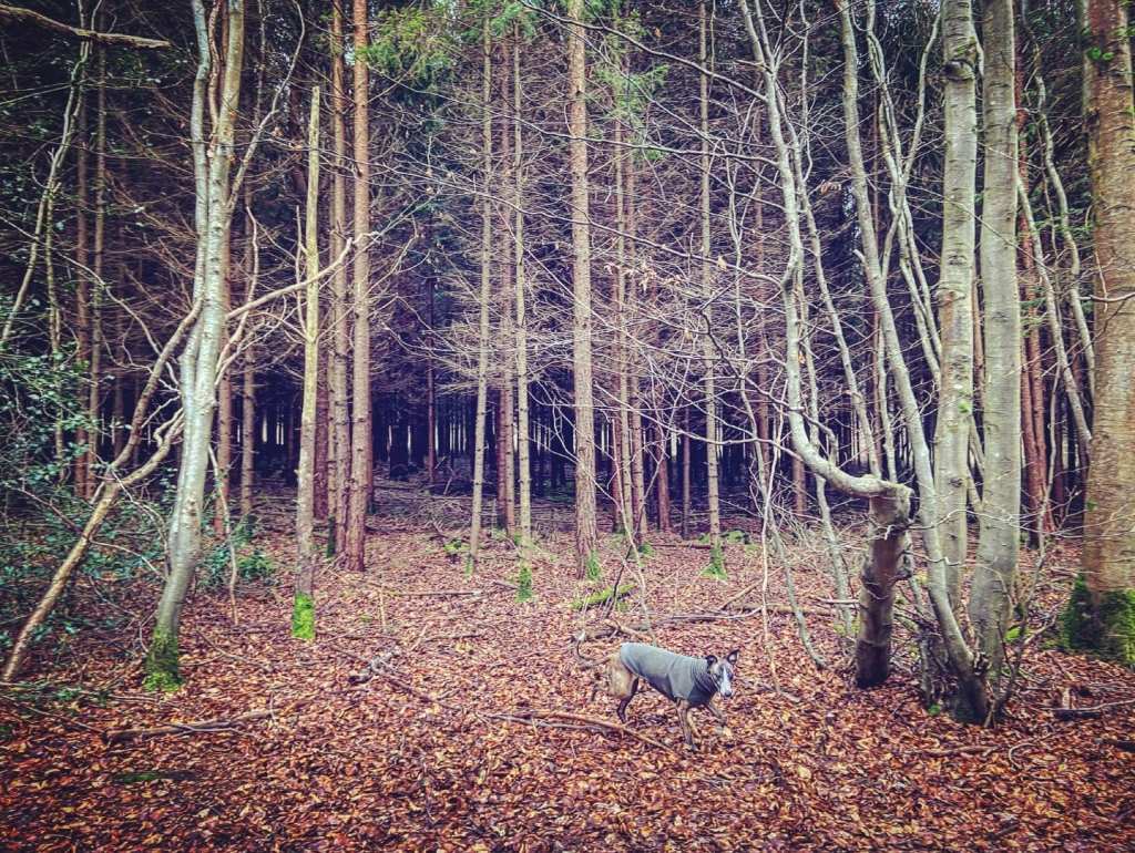
Go straight over at the junction with a main path, passing a way marker post and onto another sheltered path through the trees. Again, this little path can be muddy and you might want to take the tiny windy one alongside it, which has been stamped out by walkers avoiding the mud. Keep right/straight ahead at the (often muddy) fork, which has trees in the middle of the path.

Go straight over the next main path and pass another way marker. Just a little further, at the next way marker by another cross paths with another main path*, it’s straight over again.
At the fork, take the left hand path and walk with the dip to your right. Then, at the next fork, it doesn’t matter which little path you take as they both come down to a main path, where you turn right. (I take the one on the right for no reason other than I like the word “right” because it also means “correct”).
On the main path, pass the way marker (on the right hand side) and continue straight on this wide path all the way back to the road.
*I’m pretty sure that just after the second of the two main paths that you cross over, you also cross the route of the Roman road known as the London to Lewes Way. From the OS map, it seems it might run just before where you go around the dip. You’d think someone would put a sign up or something – I mean, I would.
Anyway, beyond the dotted line on the OS map, there’s some uncertainty about it. I found one internet page, which reckoned the route was on the other side of Limpsfield village entirely while others say it ran down to the east of where Clackett Lane service station is today.
