Page contents
About
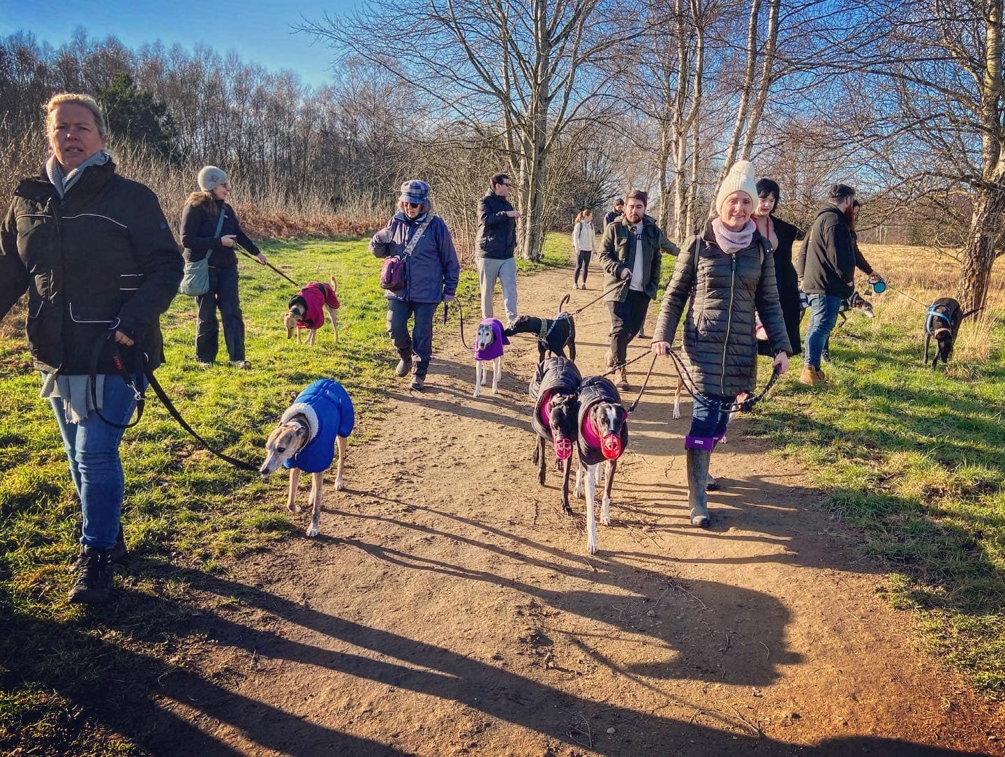
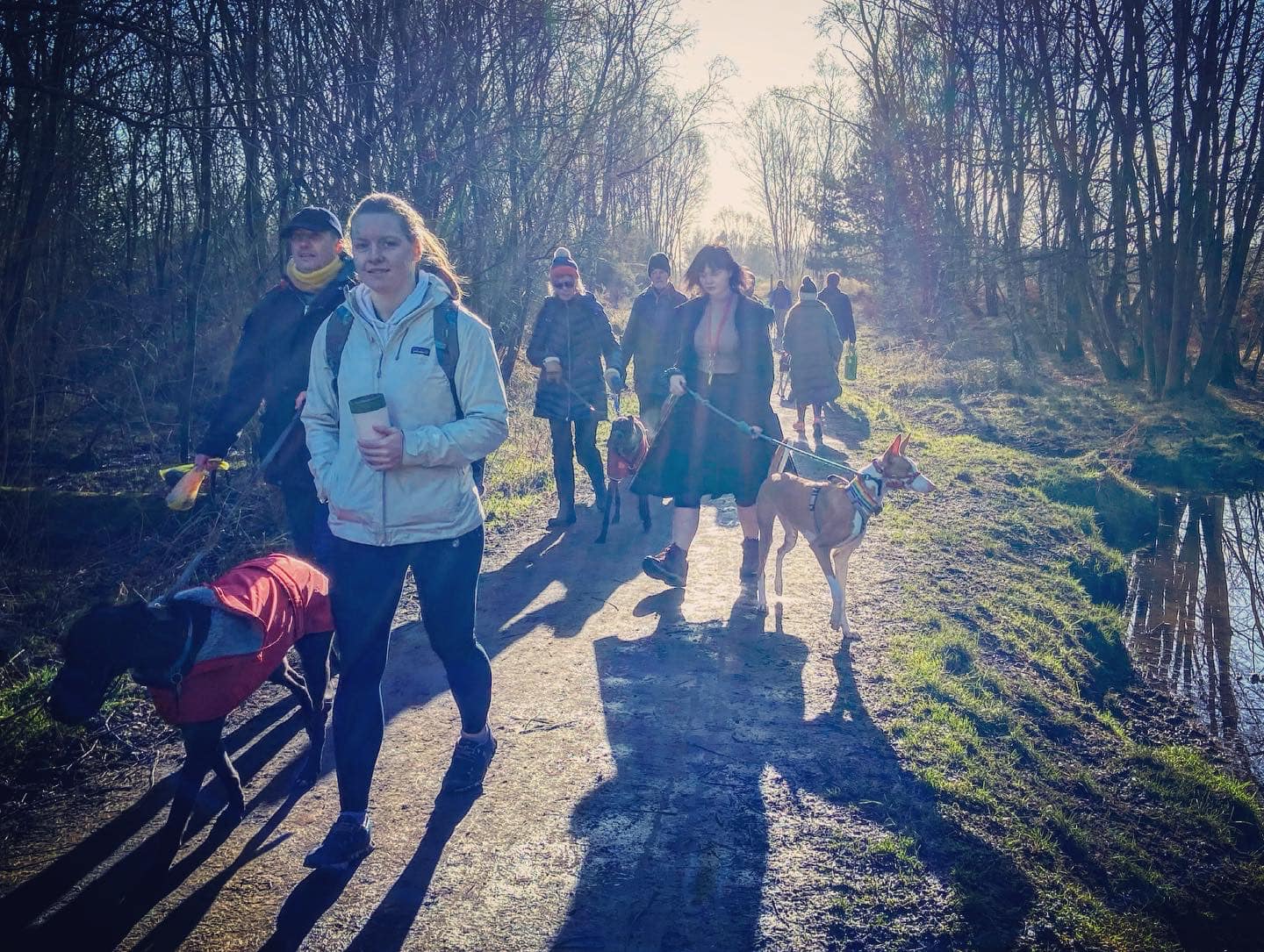
Gallery
Parking
Poo bins?
Self-guided walk
About
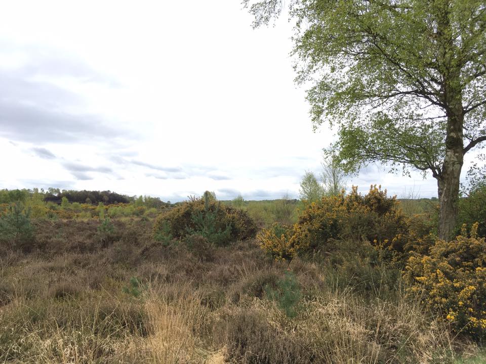
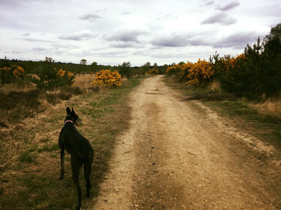
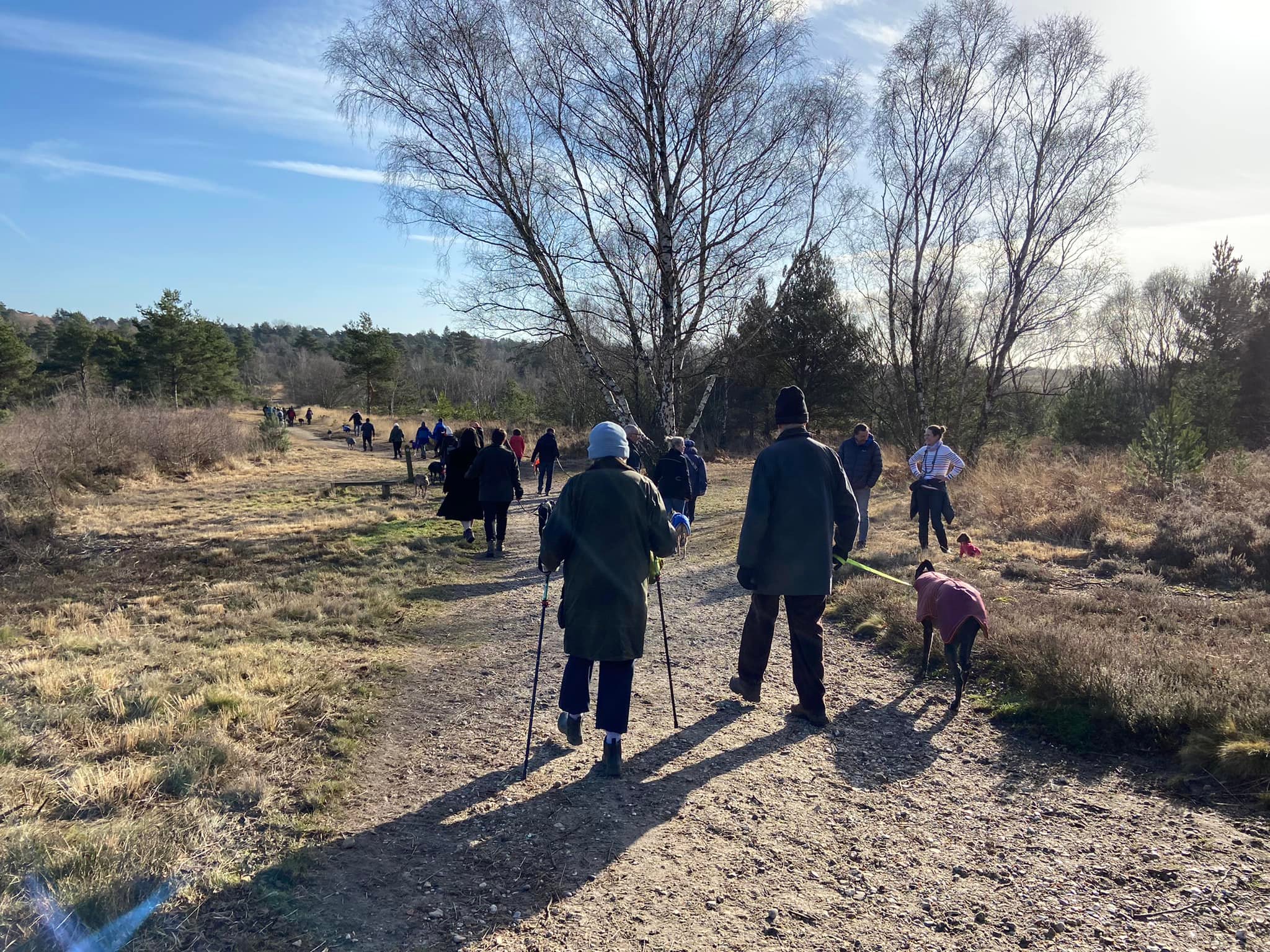
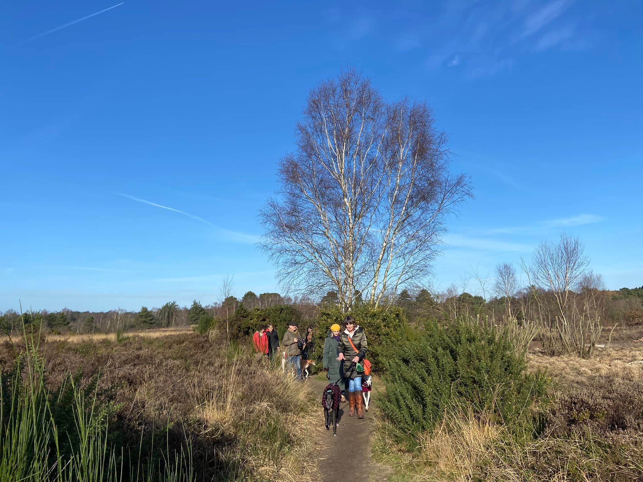
Chobham Common is the largest National Nature Reserve in the south east of England at around 600 hectares – and a prime example of lowland heath, one of the most ancient and characteristic British landscapes, originally created by prehistoric farmers. For over 200 generations, rural communities have carefully managed this open countryside, creating a wildlife rich patchwork of mini-habitats.
Many rare species of birds and animals live on Chobham Common, including a little brown bird called the Dartford Warbler, which loves the gorse bushes that cover this landscape alongside the large swathes of heather. In mid-summer, several species of native orchids grow around the heathland verges. The common is also home to frogs, toads, newts, adders, grass snakes, common and sand lizards, slow worms and 25 species of mammals.
In August 1915, during WWI, the common hosted trenching exercises in advance of Kitchener’s Third Army’s mobilisation in France. It continued to be used by the military throughout the 1920s, 1930s, and WWII. Captured enemy tanks were tested here, as well as equipment to detonate land mines using flails. Immediately after WWII, the southern part was ploughed and seeded with an annual grass to allow the natural vegetation to re-establish, while the area north of Staple Hill, which was not as heavily damaged, was allowed to recover naturally.
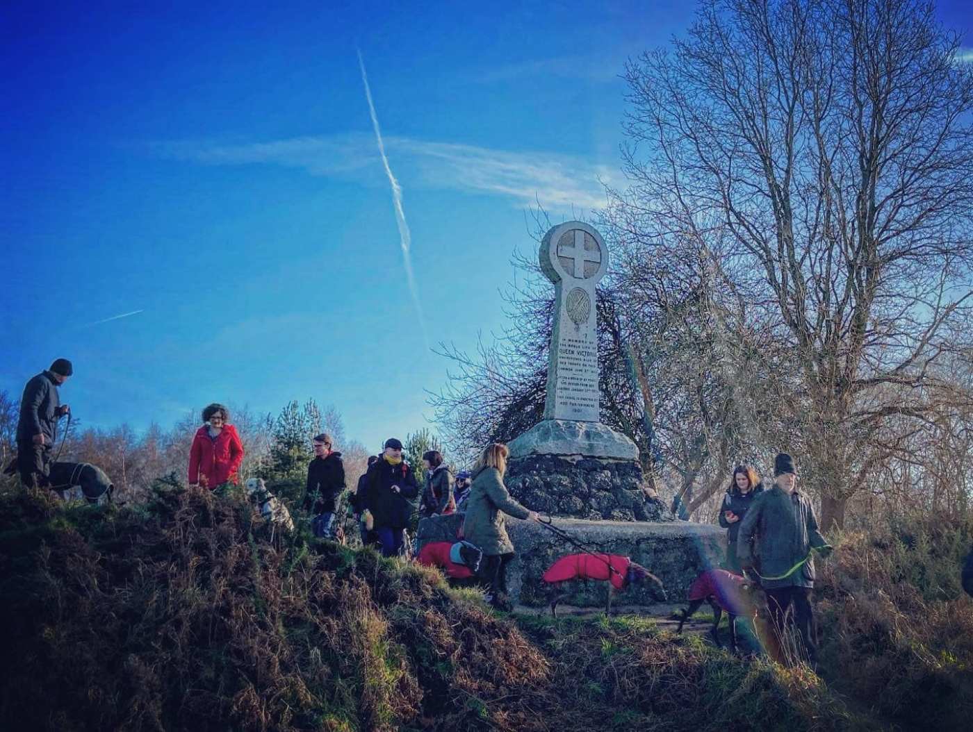
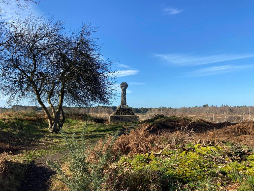
The area to the north of the M3 houses the Grade II listed Memorial Cross, which is located right by the Monument car park and a short walk from the Roundabout car park. It was erected in 1901 to commemorate Queen Victoria’s review of troops encamped here before their departure to the Crimea during the Crimean War in 1853.
In 1966, the Common was purchased by Surrey County Council from Lord Onslow for £1 an acre. Approximately 1,400 acres of it are now managed by Surrey Wildlife Trust.
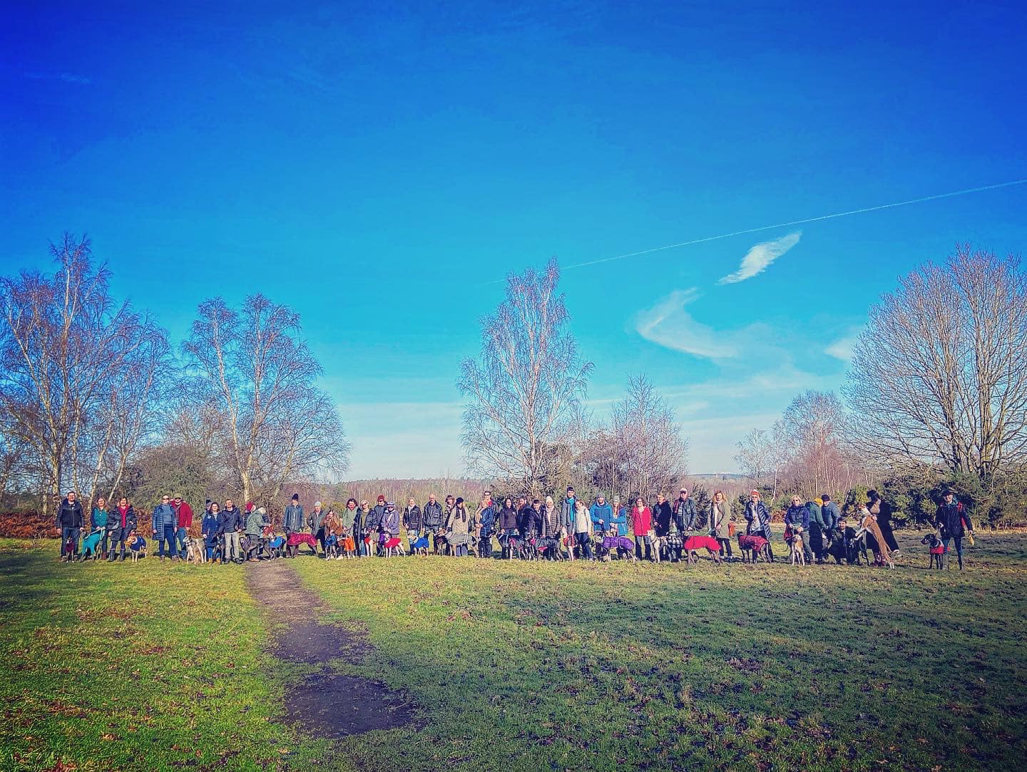
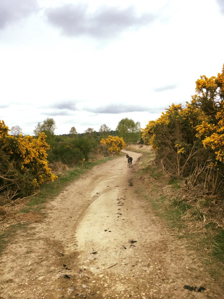
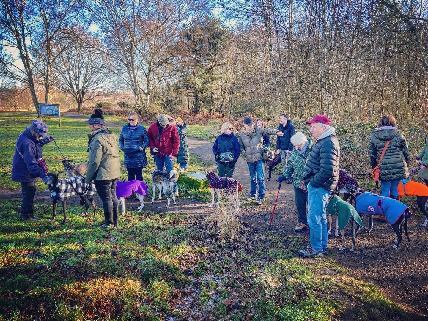
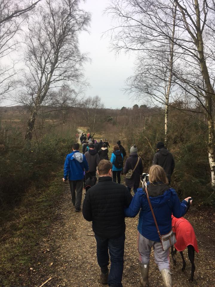
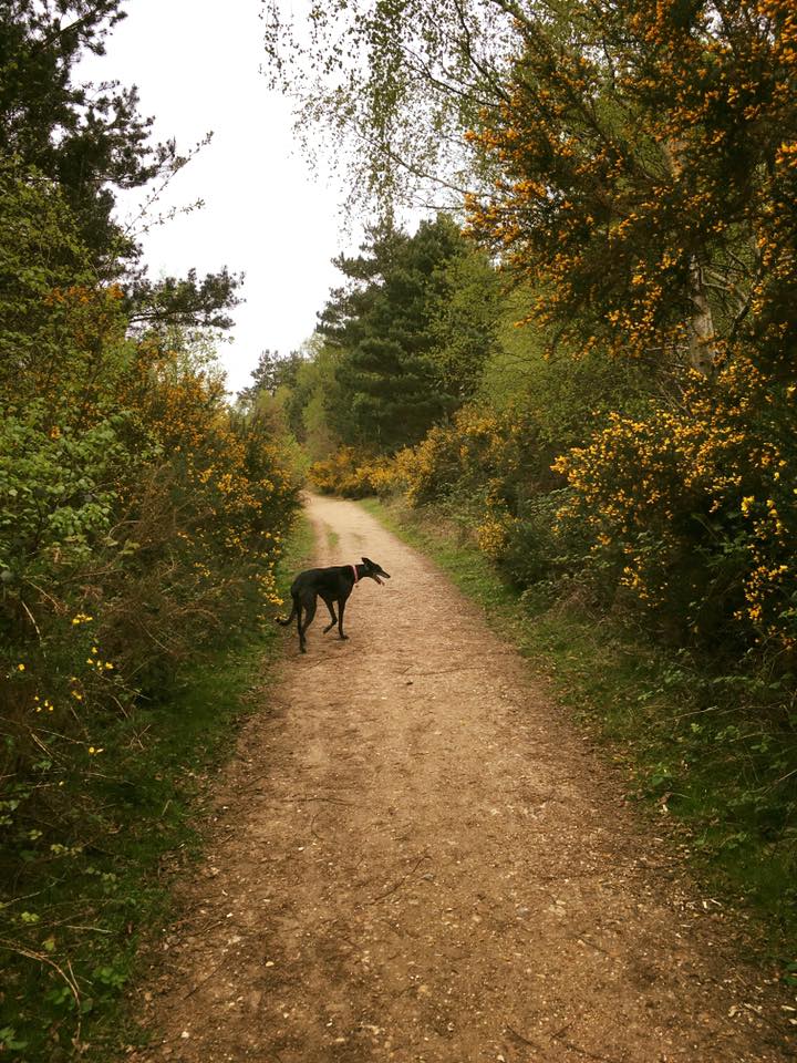
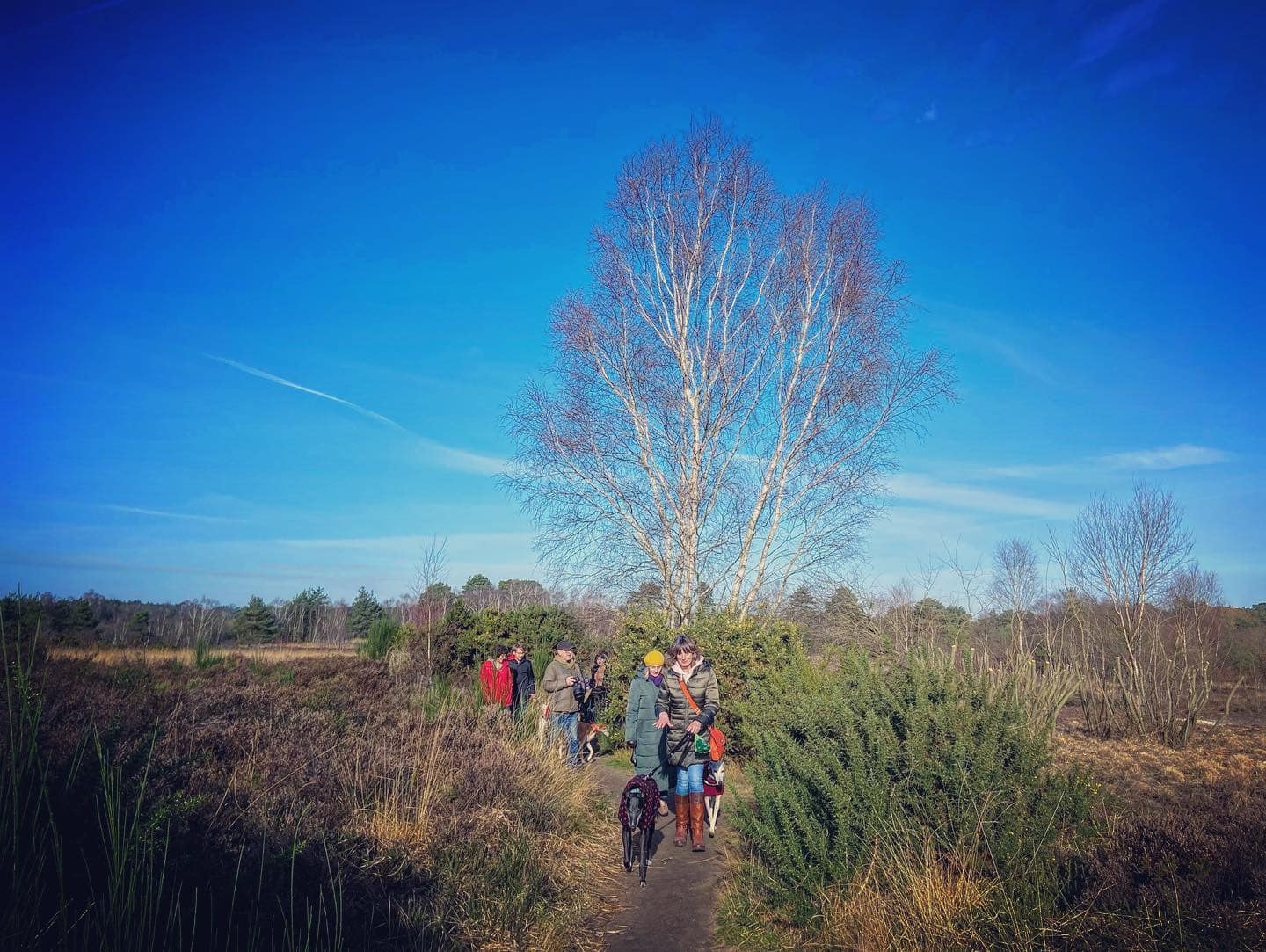
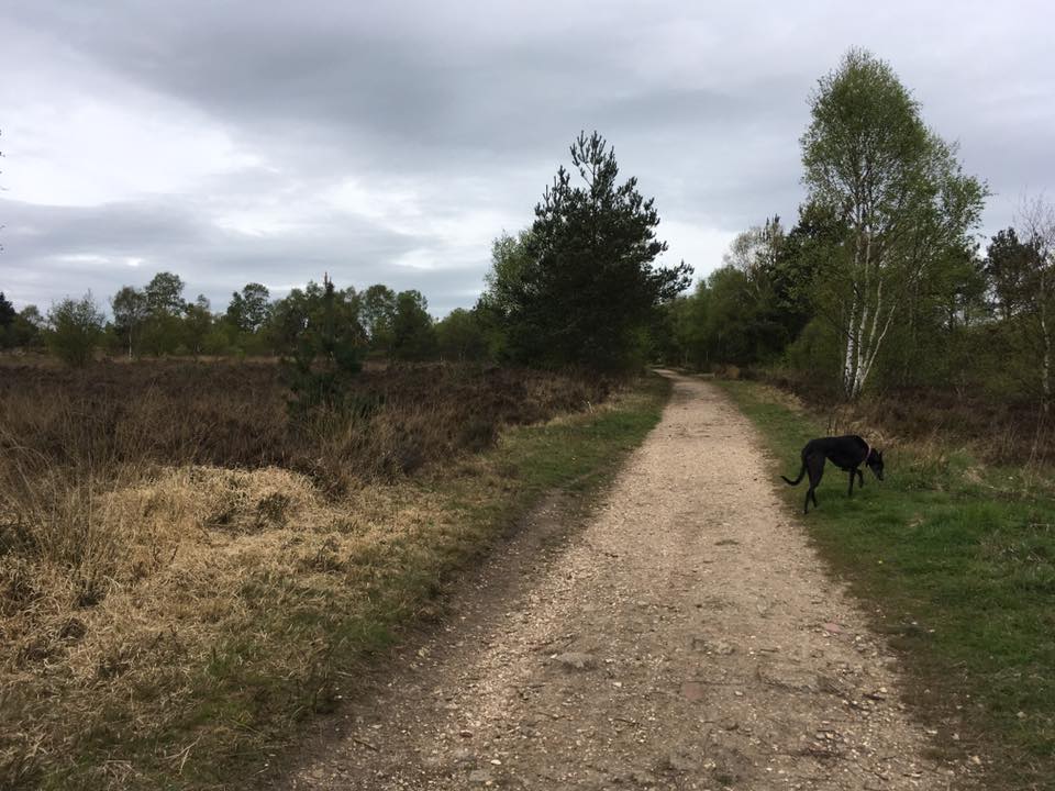
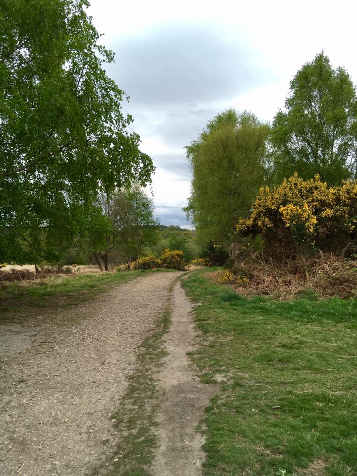
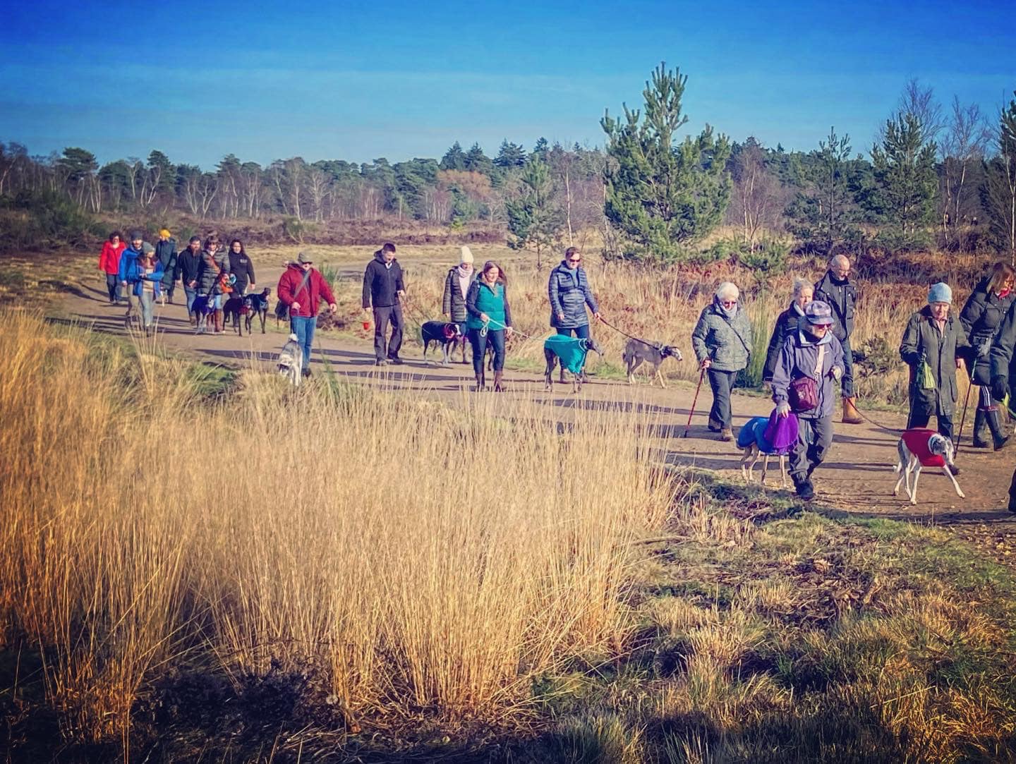
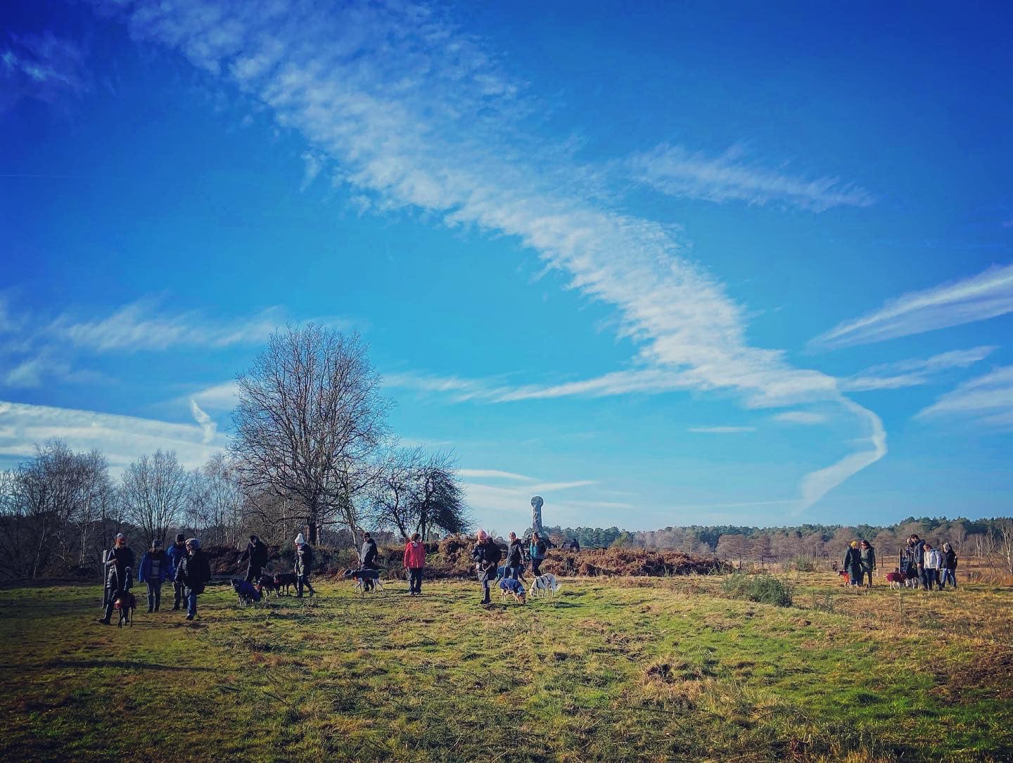
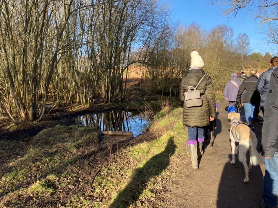
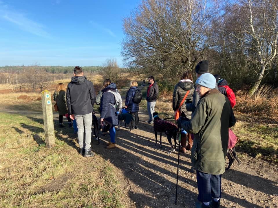
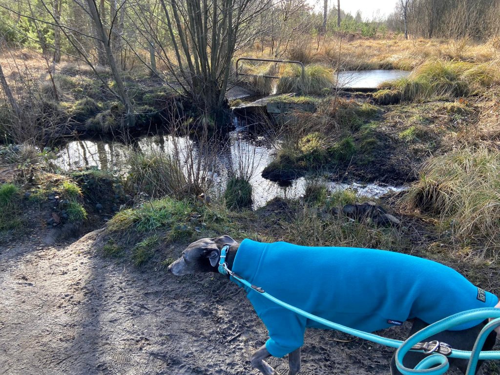
Gallery: What’s it like here?


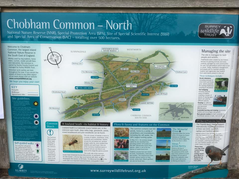
Parking
There are several car parks dotted around Chobham Common, with two serving the area north of the M3: the large Roundabout car park just by the roundabout at the intersection of the B383 Chobham Road and the B386 Chertsey Road; and the smaller Monument car park, just yards from the Memorial Cross a little further up the B383 (away from the roundabout).
GOOGLEMAPS LINK: https://goo.gl/maps/aF3pNBKXSZWMWBJw8
WHAT3WORDS: https://w3w.co/breed.bound.smooth
NEAREST POSTCODE: GU24 8TL
Poo bins?
At the car parks, please use them.
Self-guided walk
Here is a Footpath app route for the northerly area of Chobham Common, above the M3. Also on AllTrails. It’s a fairly simple route – very hard to go wrong as you’re on the main path that circles this area for most of it. There’s a short detour off to see the Memorial Cross.
Length: approximately 2.3 miles/3.8km
Terrain: Undulating, but nothing too steep. Sandy paths that can get waterlogged after a lot of rain. Terrain is quite rough as this is open lowland heath.
Stiles/kissing gates? No stiles, no kissing gates
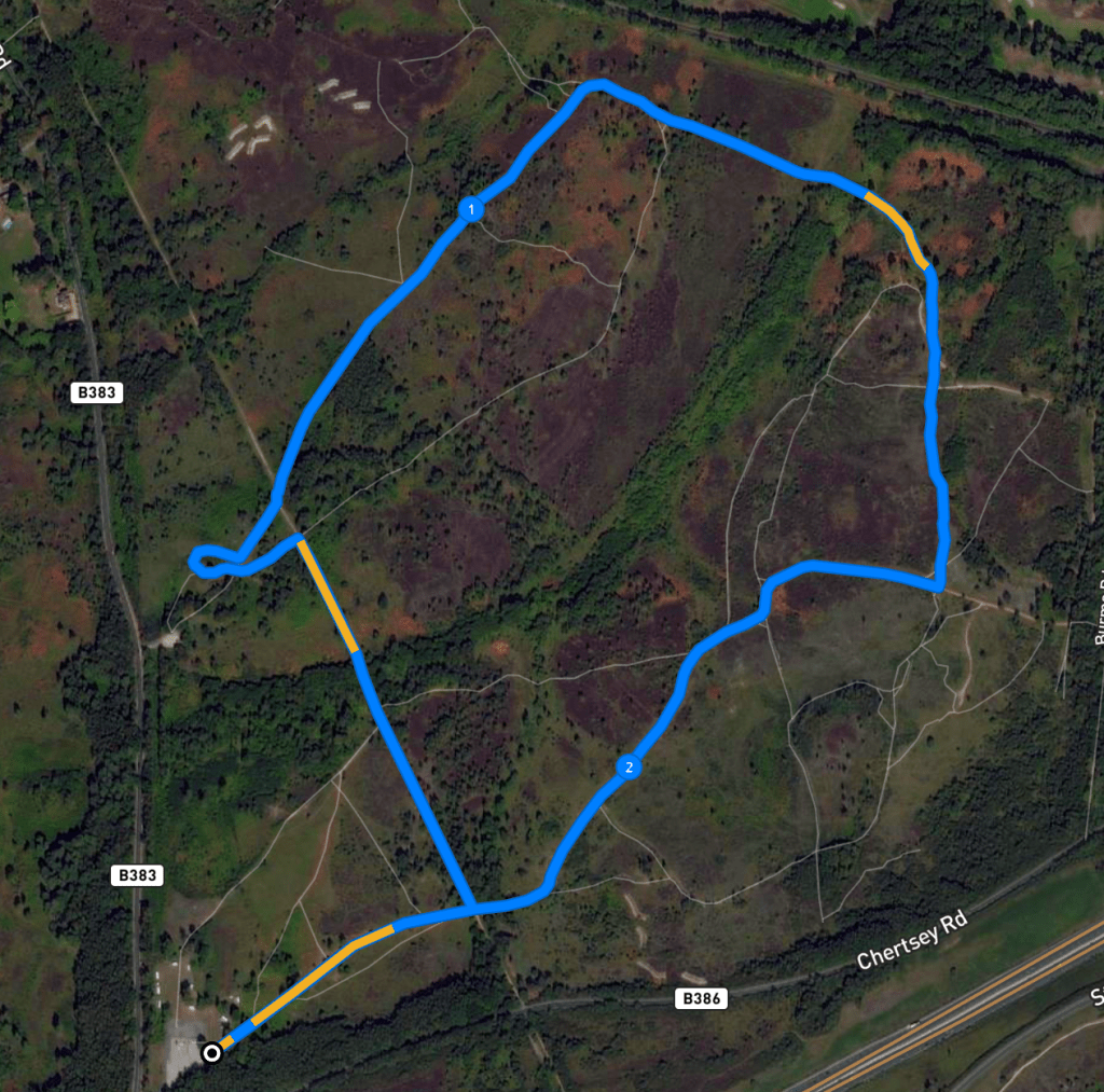
With the road behind you, take the path from the rear right-hand side of the car park, which passes to the right of the wooden noticeboard. This is long and mostly straight and descends down into the common.
Turn left at the major cross paths. Follow this path straight, ignoring a path off to the left by a marker post (on the left) and another off to the right almost straight after that. The path will go between ponds.

Go upslope and at the brow of the hill, just past a bench, turn left to detour off the main path to see the Victoria Cross Memorial. Take the little path through the scrub to pass the cross, then turn right to go back to the main path.
Back on the main path, turn left and, almost immediately, at the marker post with the blue arrows and the number 06, take the right hand fork.
Follow the path through heathland scrub and gorse for a fair old way, ignoring any side paths. After a while, it will bend sharply to the right. Pass a bench and another marker post – carry on on the long straight.

After marker post 09, follow the path round a long curve round to the right by a pond and a broken bridge (on your right) and ignore a little path off to the right shortly after that by another marker post.
Keep going and you’ll come to a series of junctions – keep straight. That means ignoring the path to the right by a marker with blue arrows and ignoring the next left by another marker post. Go straight over the cross paths by the bench (on the left) and onto the small path through gorse and scrub.

Continue all the way to this path’s end at a (triangular) T junction with a main path. Turn right. This path is straight for a bit and then goes all a bit bendy really. Just stay on the main path, ignoring all that come off now until you come to a large cross paths, which is just after a bench and marker post (on the left).

You may recognise this junction from the beginning of the walk. Go straight ahead now back to the car park, which you can see ahead in the distance.

Leave a comment