
Page contents
About
Gallery
Parking
Poo bins?
Self-guided walk
About
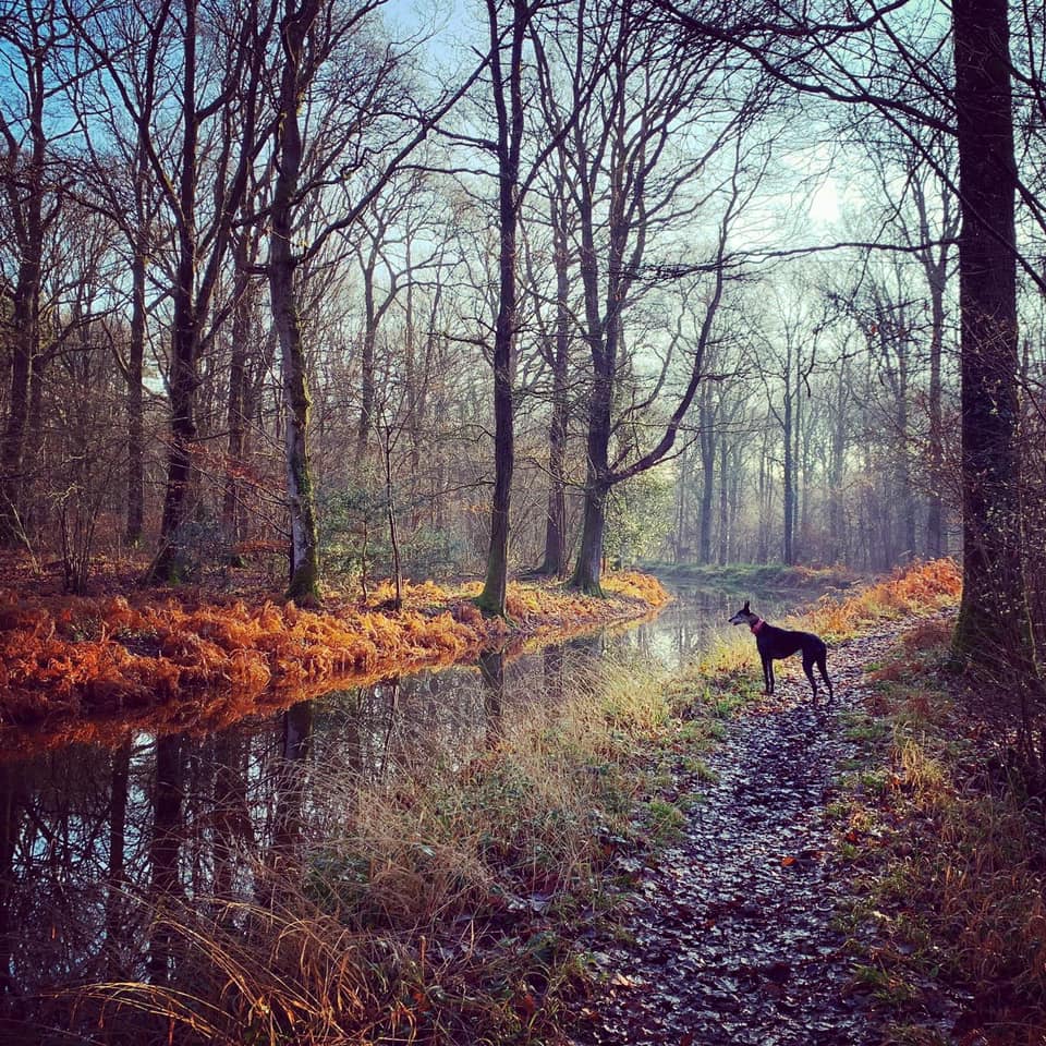
Sidney Wood is right on the edge of Surrey, near Alfold and Cranleigh, and the old Wey and Arun Junction Canal runs through it.
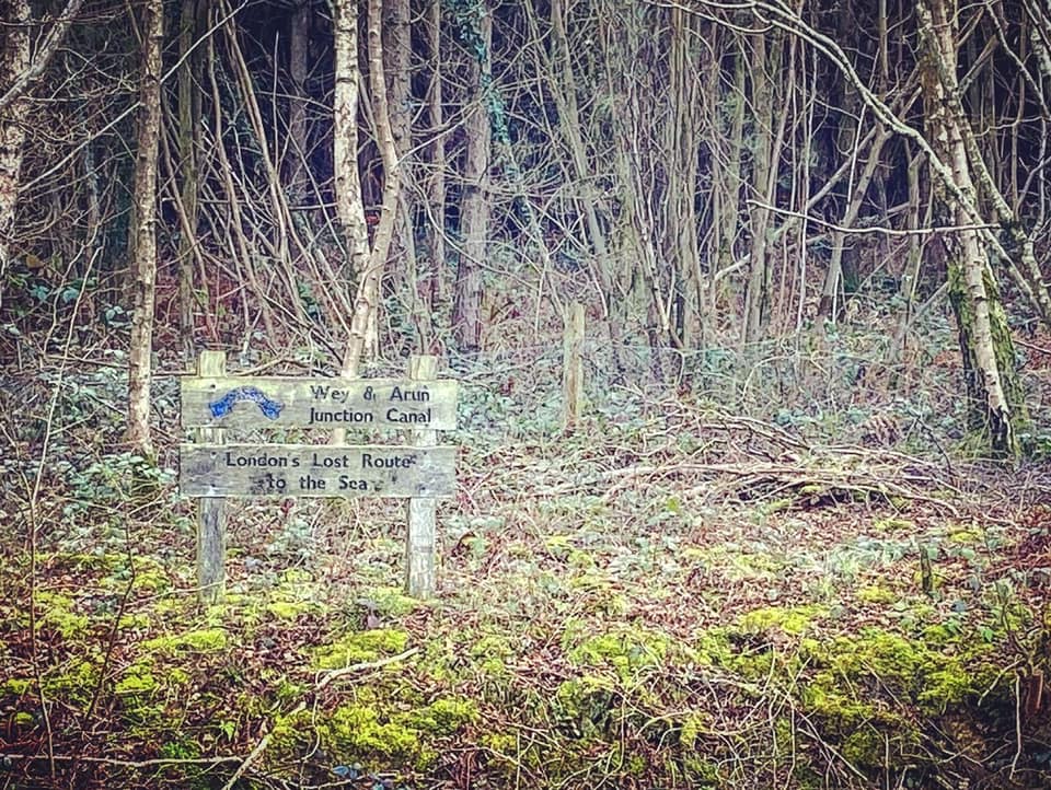
Known as “London’s lost route to the sea”, the Wey and Arun Canal is a partially open, 18.5 mile (30km) canal running southwards from the River Wey at Shalford in Surrey to the River Arun at Pallingham in West Sussex.
The first scheme to link the two rivers was proposed in 1641 and a bill was submitted to Parliament, however it was dropped at committee stage. The idea was resurrected in the 1800s, partly due to the Napoleonic Wars – with Britain at war with France, the usual cargo shipping route from London to Portsmouth, which went around the coast, was at risk of attack and an inland route was needed. Construction began in 1813, although the war was over by the time it was finished in 1816. It had 23 locks along its length, was suitable for 30-ton barges, and cost £103,000.
Following the Industrial Revolution, commercial trade on the canal gradually increased, with 23,000 tons carried at its peak in 1839. But in 1865, a new railway line opened between Guildford and Horsham in direct competition, and in 1871 the canal was formally closed.
It was left to go to ruin without maintenance and was in a sorry condition by 1970, when the Wey and Arun Canal Society (these days called the Wey and Arun Canal Trust) was formed and started restoration work at multiple sections of the route. You can now enjoy boat trips and canoeing, kayaking and paddling from the canal centre at Loxwood – this site has a couple of walks from there, one that goes eastbound along a restored stretch of the canal, and one that heads west along a stretch that is restored but also takes in another part that is yet to be refurbished.
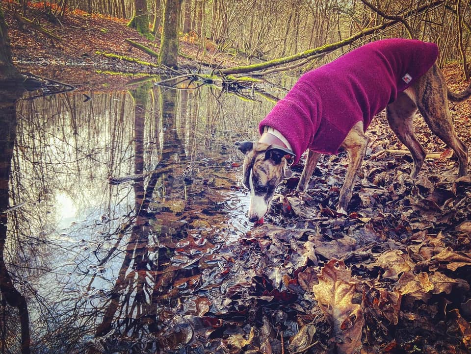
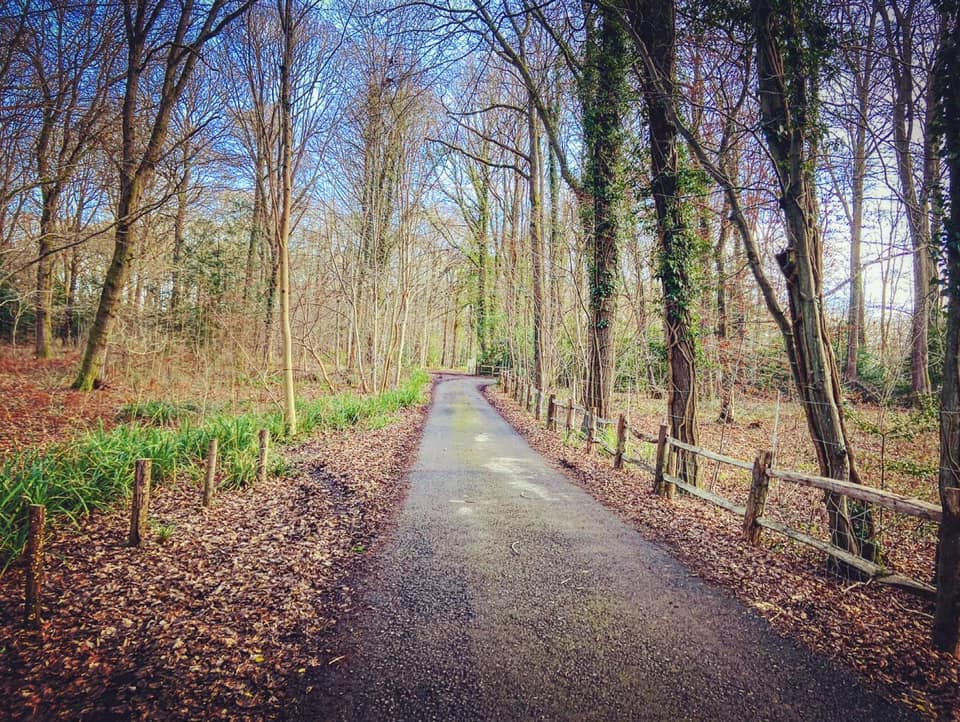
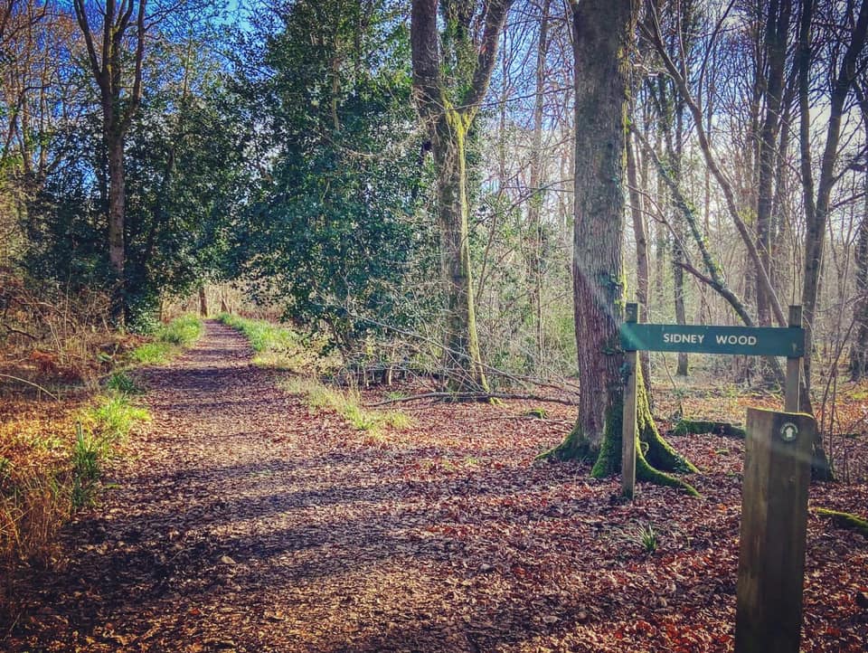
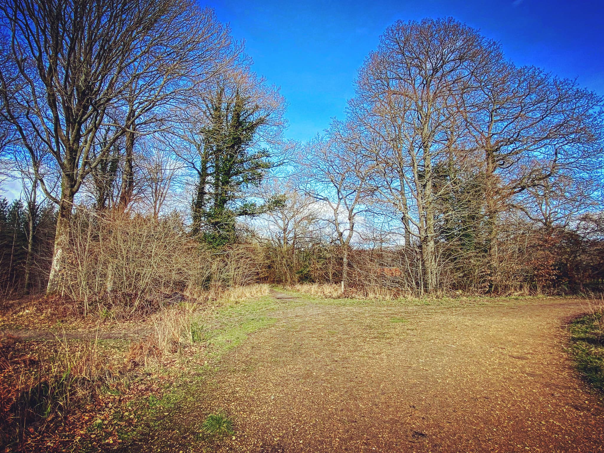
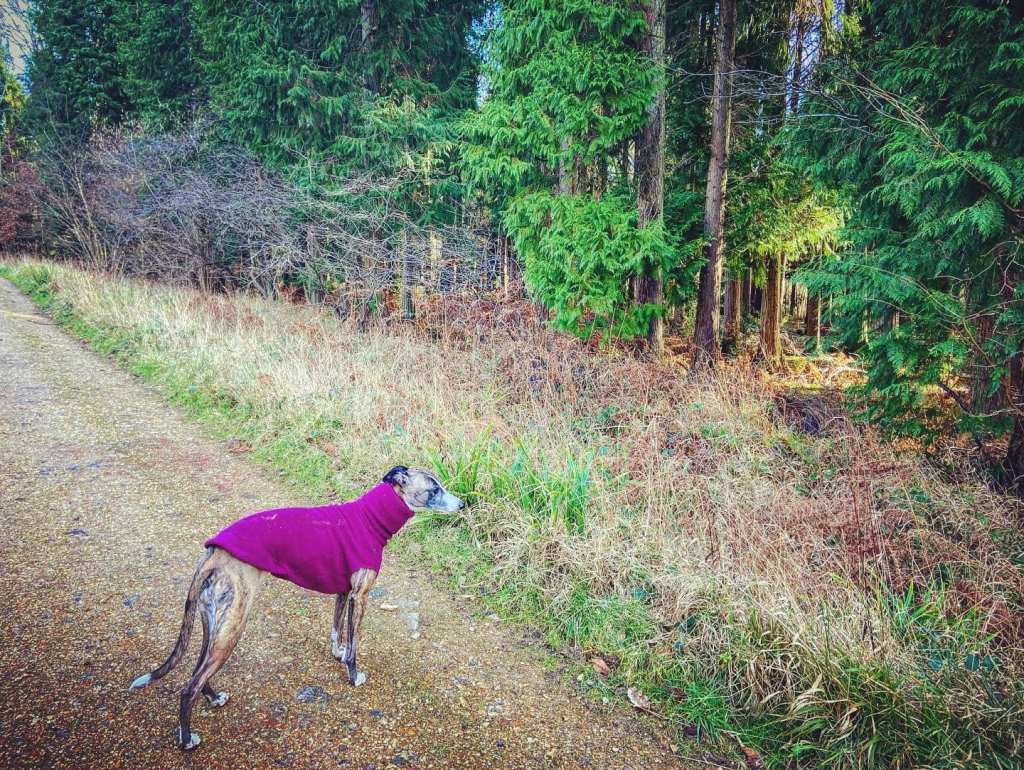
Gallery: What’s it like here?


Parking
Park in the free Sidney Wood car park, which is owned by the Forestry Commission.
GOOGLEMAPS LINK: https://goo.gl/maps/j6PVzCsxxJRNzGhe7
WHAT3WORDS: https://w3w.co/tips.slams.workflow
NEAREST POSTCODE: GU6 8HU
Poo bins?
None, please take waste home.
Self-guided walk
Here is a Footpath app route that will take you through Firtree Copse nature reserve, along the old towpath of the former Wey and Arun canal, before looping back through Sidney Wood to the car park. Route is also on AllTrails.
Length: approximately 3 miles/4.9km
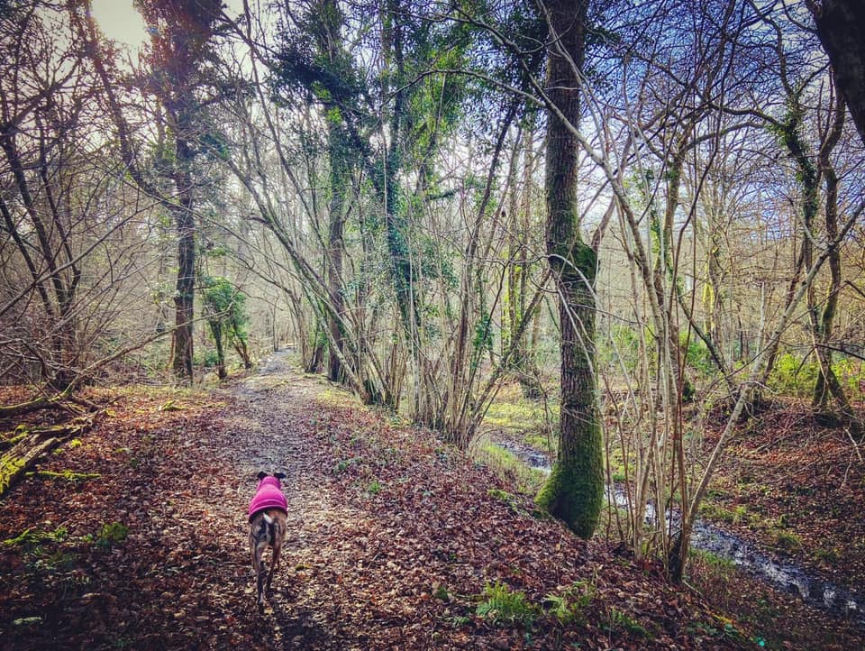
Terrain: Pretty flat, this walk is mainly on mud paths and a surfaced gravel path, with a couple of really, really short sections on lanes/drives. There are a couple of fallen trees to step over, a few steps and a couple of little bridges. Some parts can be super muddy in winter.
Stiles/kissing gates? No stiles, no kissing gates
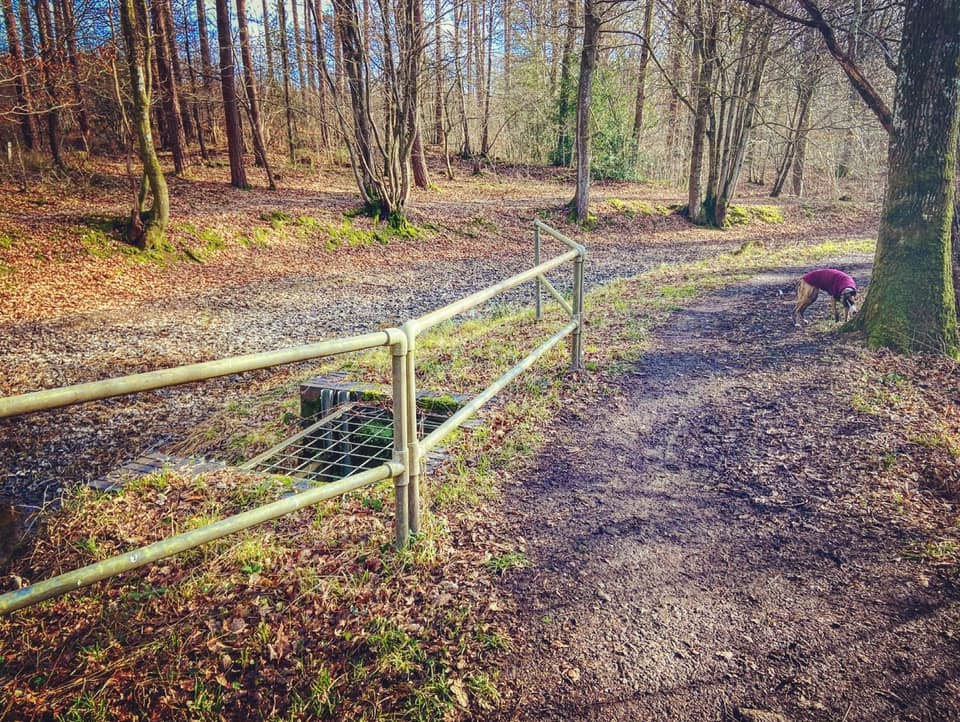
At the back of the Sidney Wood car park, there’s a sign about keeping dogs under control, take the path to the right of it.

You’ll go over a couple of fallen tree trunks and when you get to the cross paths, turn right. This will bring you down to a tarmac road. Turn left onto the tarmac and walk along this a short way until you reach a couple of finger posts pointing out the bridleway. Turn right and pass through the two wooden bollards.
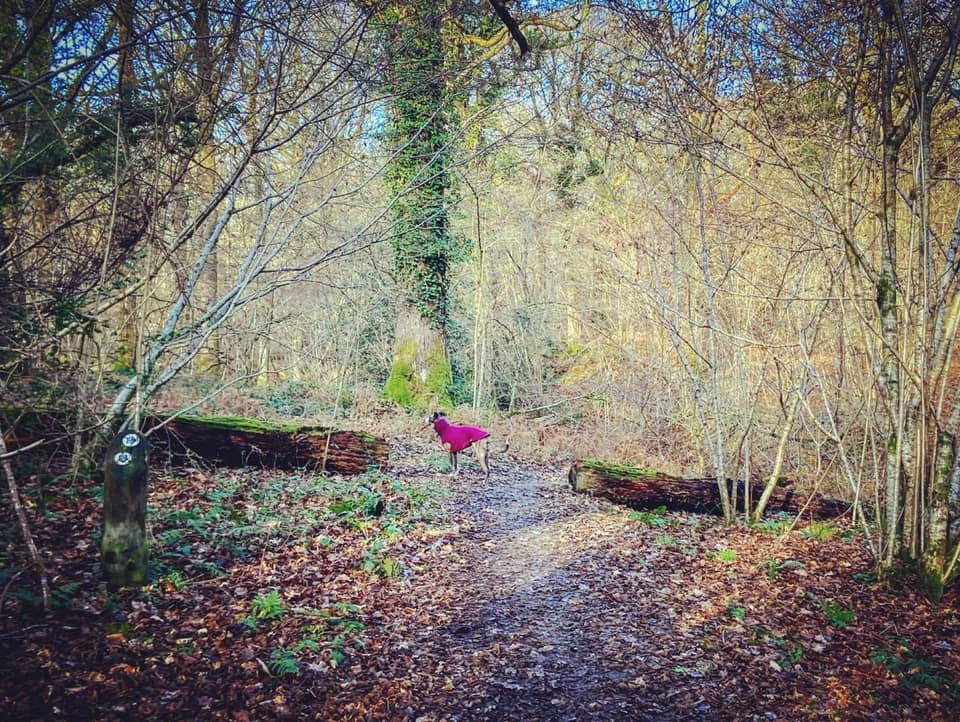
Take the first right over two planks and up a few steps into Firtree Copse. This important nature reserve was purchased by Surrey Wildlife Trust in 1999 and is part of the Chiddingfold Forest, a site of Special Scientific Interest. Despite its name, the copse is made up mainly of Oak and Ash woodland and coppiced Hazel, with just a few firs/pine trees.
Follow this little path through the trees, passing between two halves of a fallen tree, down steps and over a plank bridge, then turn right and up the slope.

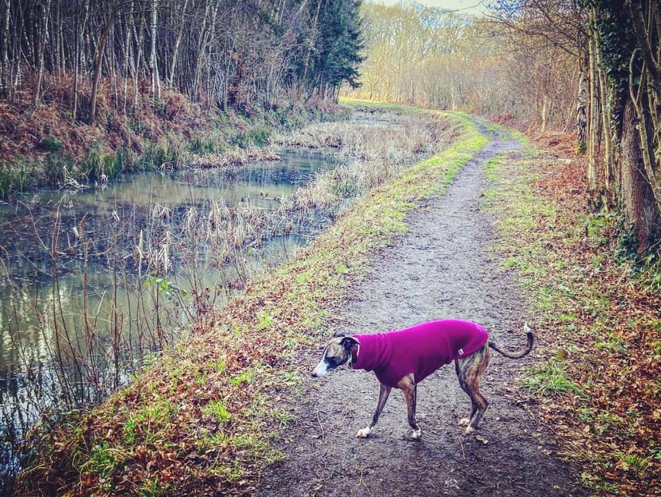
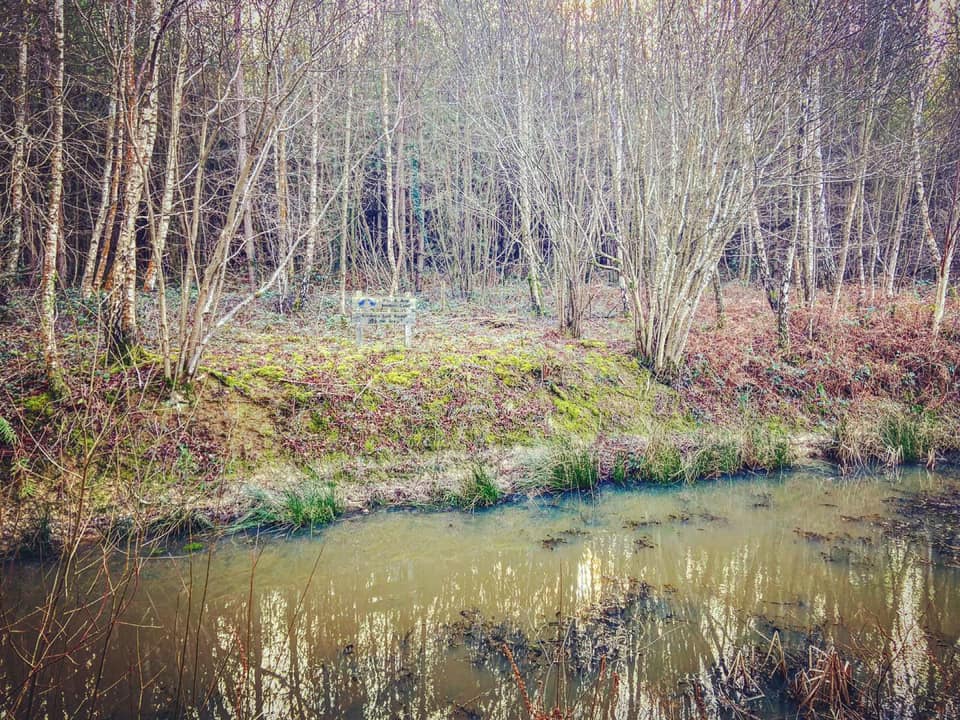
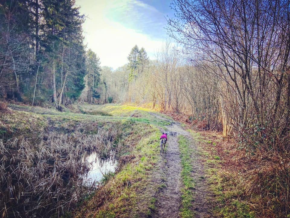
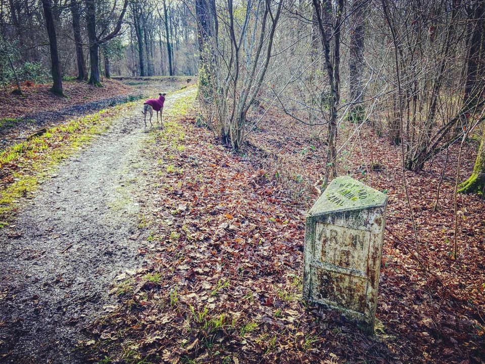
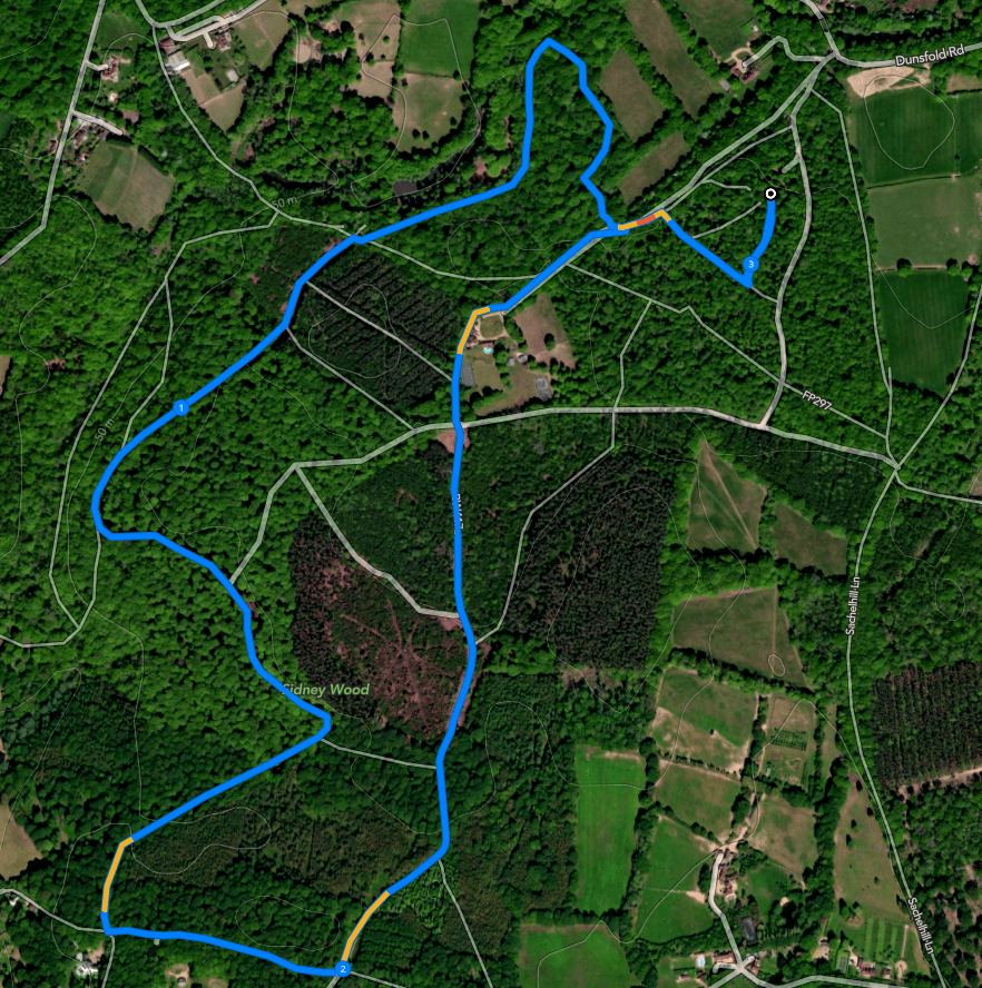
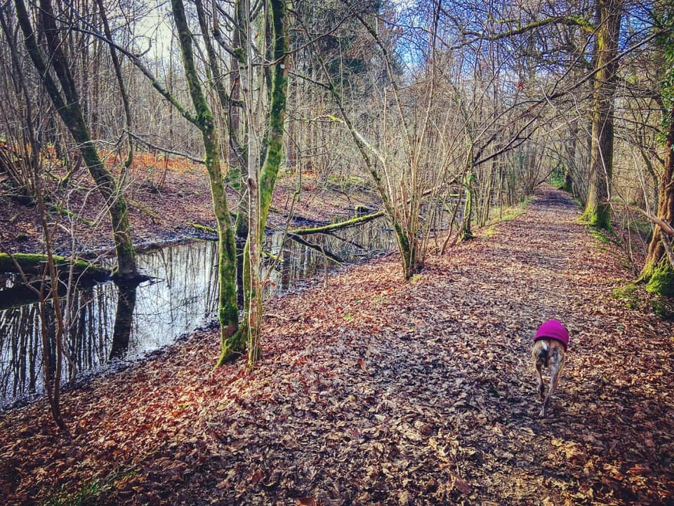
There are white Surrey Wildlife Trust markers along this section of the walk. It’s a lovely little windy path that eventually brings you down to the old Wey-Arun canal. Turn left to walk along the bank. Stay on the path as it hugs the canal and cross the bridge.

Go over a couple of fallen tree trunks and then onto a long straight. At the end, turn right and go around the gate, then at the fork, go left to walk along the other side of the canal, so the water is on your left now. Look over the canal and you’ll see a sign informing you that the canal is “London’s lost route to the sea”.

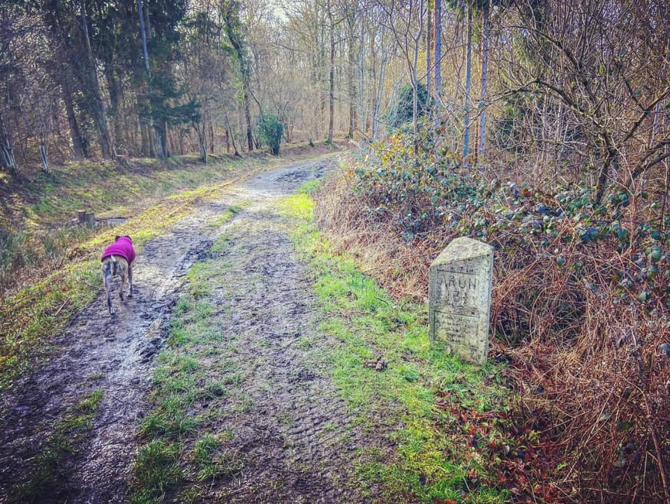
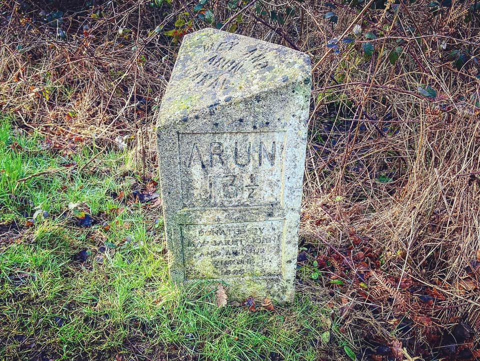
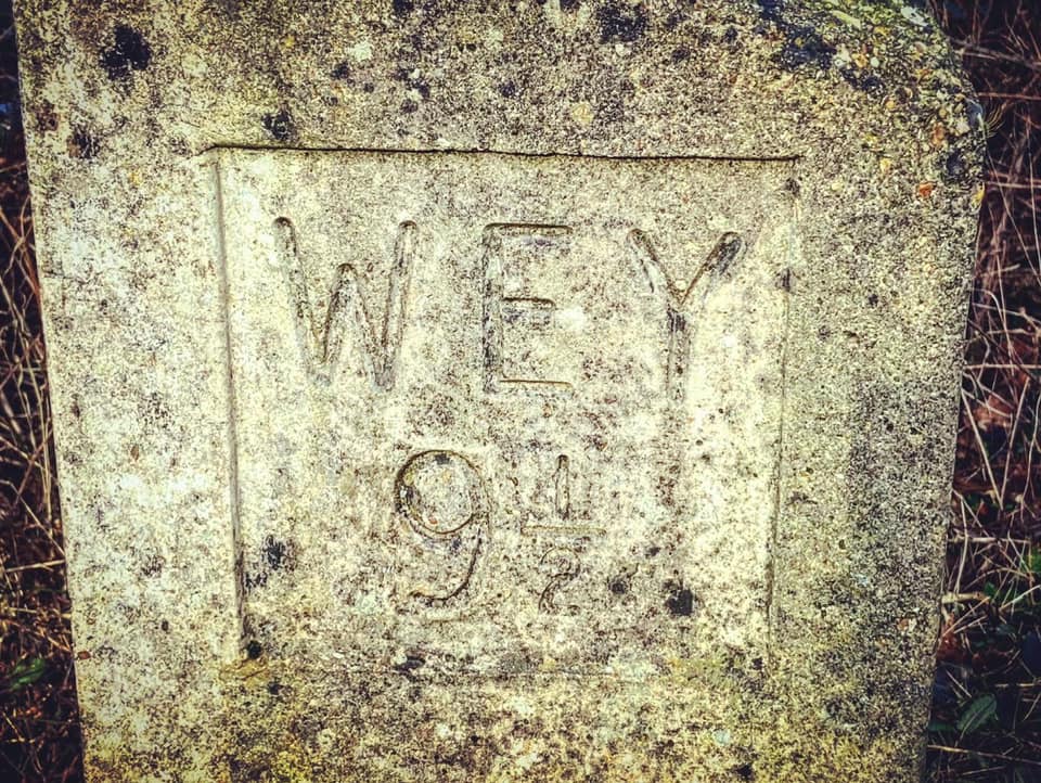
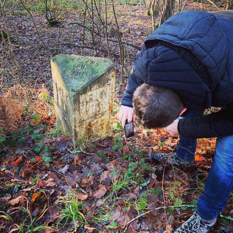
Keep straight on where a path joins to the left and cuts through the canal trench. You’ll pass a concrete milestone, which tells you that the the River Arun is 13.5 miles away and the River Wey is 9.5. When this was a working canal, you’d find these every half mile so that tolls could be levied accurately. Ignore the second path to the left as well.

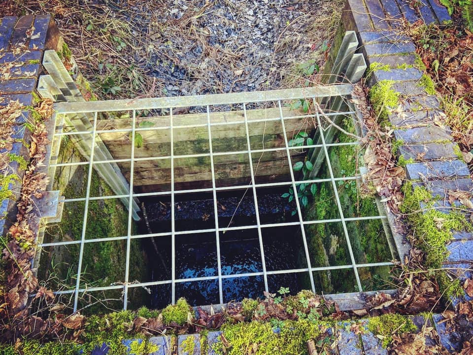
Follow the old canal round to the left, keeping left with the bank at the fork by a post with a yellow arrow. Ignore a third path off to the left that cuts through the canal. There’ll be another stone telling you you’re half a mile closer to Arun than you were at the last one. Look down to your right and you’ll see a cute little stream winding along.
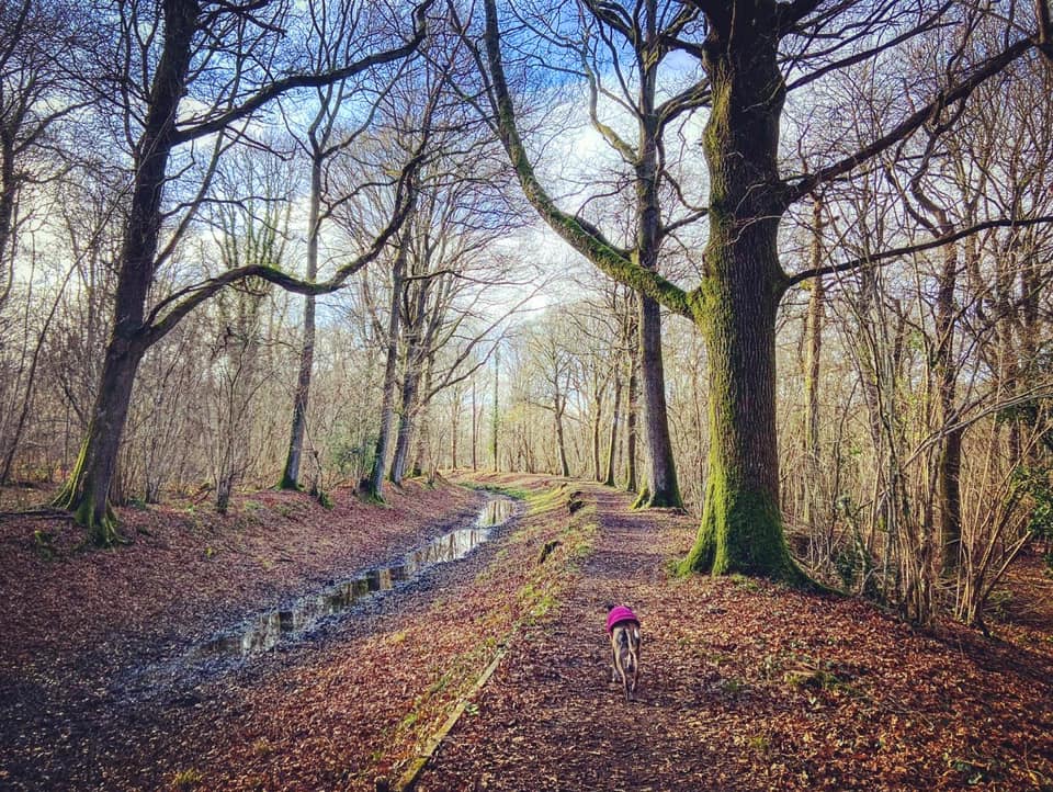
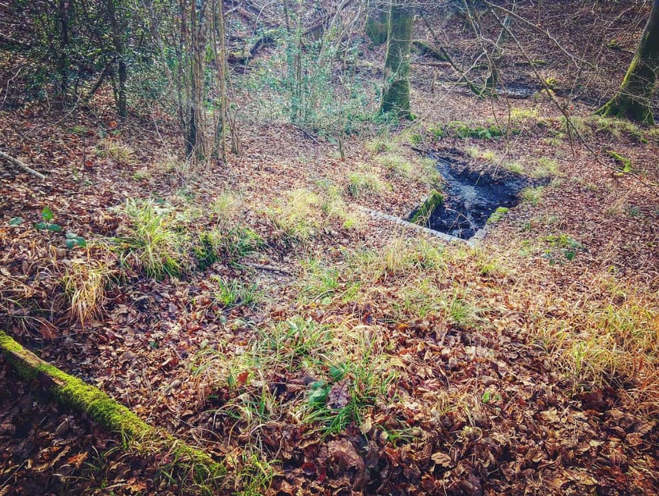
Pass a metal barrier around a grate. When I first wrote this post, I said I don’t know what this is. I mused that you’re shortly going to arrive at a section of the canal that once had a series of locks so maybe it has something to do with that, or maybe it’s an overflow down to the stream to the right as there appears to be a run off channel cascading down the hill. Anyway, I have since done a spot of Googling and, based on an arrow on this map at the location where this grate is (between the sites of culvert 2 and culvert 3), I think this is an overflow weir.
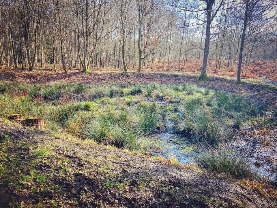
The canal then goes quite sharply to the right – as sharply as a wide waterway designed for longboats can go anyway. Then there’s wider pool/basin-like area. Apparently this is the site of an old glassworks, which was marked on a map of the area dated 1610. The glass made here was very good quality and some is on display in the Guildford museum.

At the end of the pool, ignore the fourth path to the left and continue straight along the canal side. The canal here is lined by trees. There used to be a flight of six locks along this section, although I can’t work out why they were needed as it is pretty damn flat and I thought locks were designed to get boats up hills? Or am I wrong? Again, comment below if you can clear this mystery up!
At the tarmac access track, turn left. I’ve never seen a car here before but dog-on-lead is probably a good idea just in case. Keep straight, passing the driveway and gate on the right and go around the silver vehicle barrier ahead. When the fence on your right ends, you’ll be at a sign telling you you’re now in Sidney Wood – keep straight.

At the large junction of paths, turn left up a sandy/gravely path. There’s dense coniferous woodland on the right and silver birch trees on the left – strikingly different.
Stay on this gravel path until you come to a wide sweeping corner where the gravely path bends right. A path goes off to the left and one goes straight ahead, passing a small wooden post with a blue arrow. Take this path.

Over to the right there’s a really nice house with an out building and tennis court. At the fork by a wooden post (and alongside the tennis court), take the path on the right that passes along the fence. This bit is quite narrow.
At the front of the house, continue ahead on the mud path that runs parallel to the tarmac drive/lane. Go straight over at the cross paths by the vehicle gate into Firtree Copse (on the left). Presently you’ll see on the left the path over the wooden planks into Firtree Copse that you took earlier. Keep straight, pass through the wooden bollards and cross the tarmac drive way over on the bridleway as directed by the finger posts. Turn left and walk parallel with the lane.
Take the next right onto the path that you came up earlier. At the cross paths, turn left and follow the path down over the fallen trees to the car park.
