
Page contents
About
Gallery
Parking
Poo bins?
Self-guided walk
PLEASE NOTE – There are major ‘improvement’ works at the M25/A3 junction until the end of time (well, 2025) and, sadly, they are causing massive disruption both to the landscape and to the woodlands on all four adjoining woodland areas (Silvermere, Wisley Common, Wisley Airfield and Boldermere, Ockham Common, and the privately-owned Painshill Park.) Because of this, I can’t be confident that the routes I have written out for these locations aren’t affected so I would NOT trust the descriptions on this page for the time being – and I have no intention of going to any of these places to check while the roadworks mean the traffic around them is a bloody nightmare. So, if you decide to visit these locations using this website for guidance around them, proceed with caution.
About
Silvermere is a lesser-known part of Wisley and Ockham commons, owned by Surrey County Council and managed by the Surrey Wildlife Trust (SWT).
With no designated car park, this area of woodland nestled to the north of the M25 and the west of the A3 is much quieter in terms of visitors so you’re less likely to bump into anyone here than at other parts of the commons. Unfortunately, its location next to these two major roads mean that, like its neighbours, it suffers from a constant hum/drone/roar of speeding traffic, but it’s still a lovely walk, especially in the spring and early summer when the rhododendrons are out.
It’s a relatively small area, so when I come here, I take the footbridge over the motorway onto Wisley Common proper to extend my walk – and the route described below does exactly that.
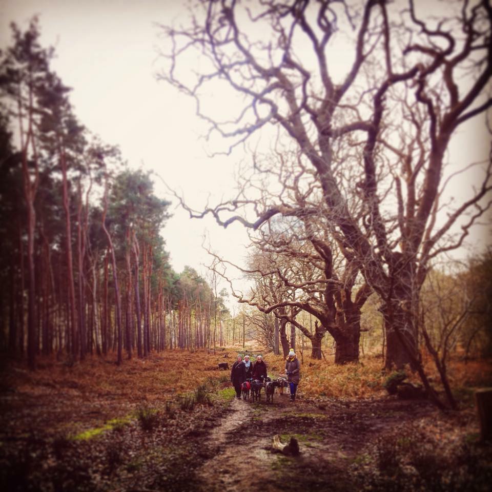
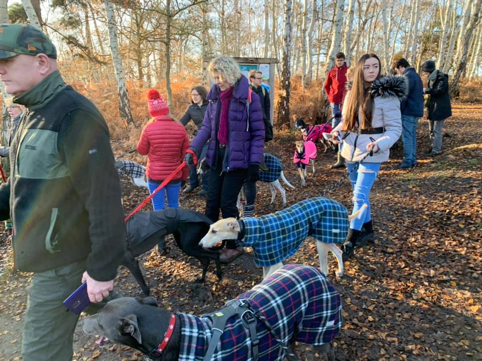
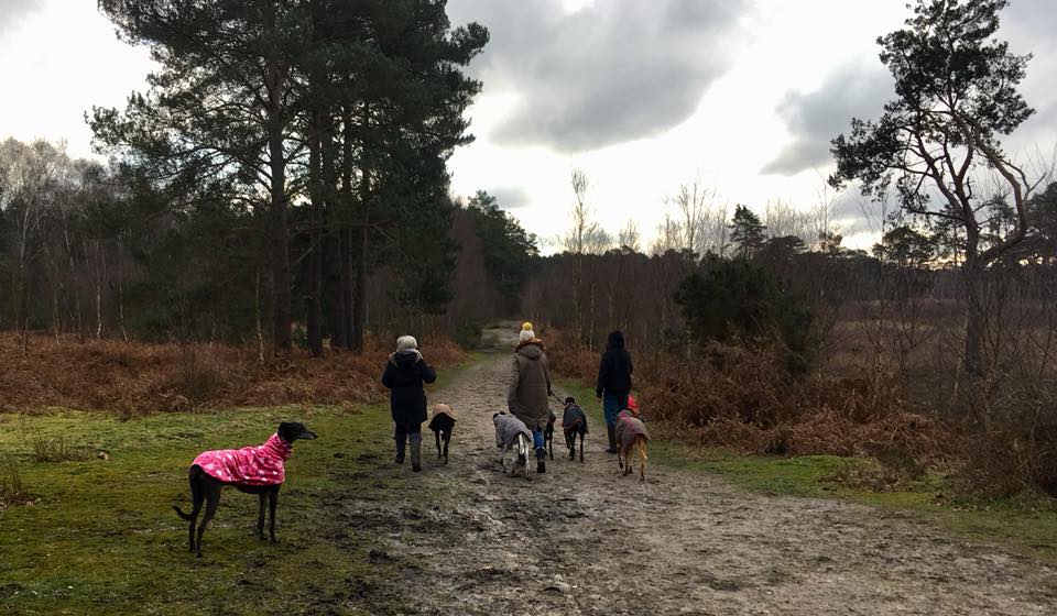
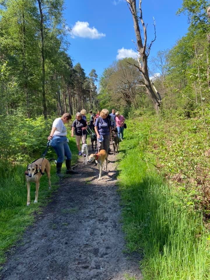
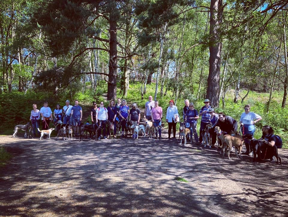
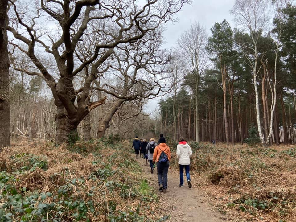
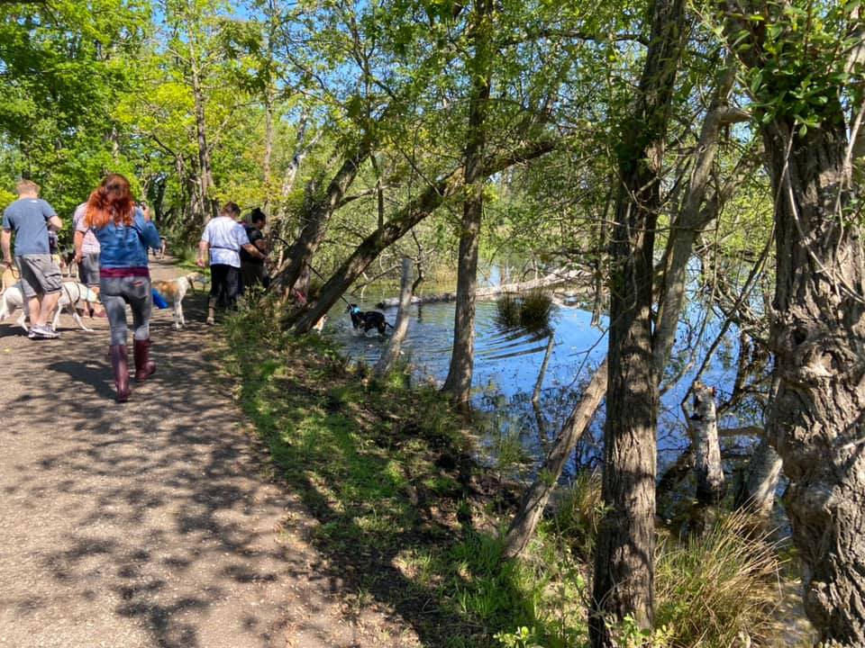
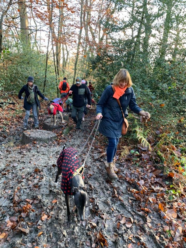
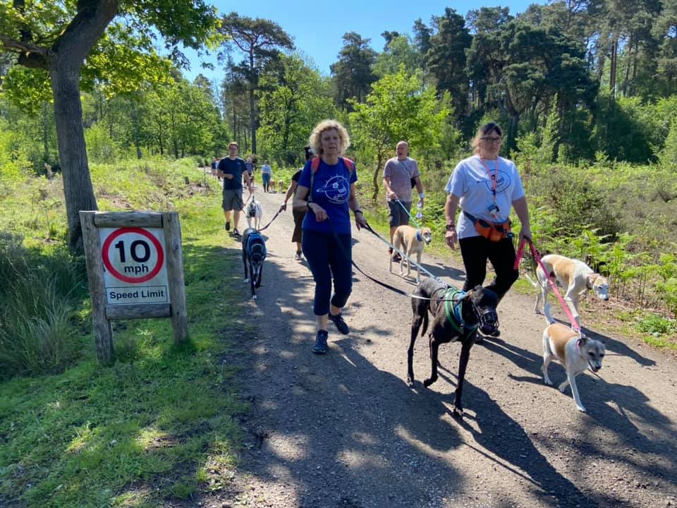
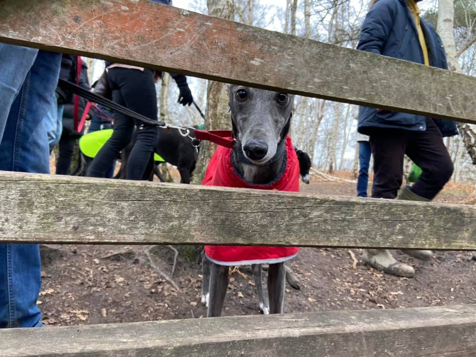
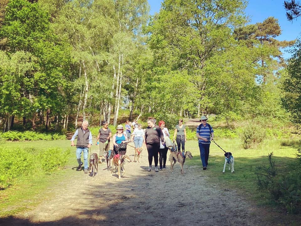
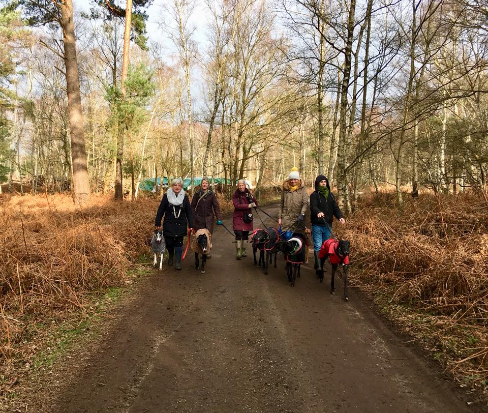
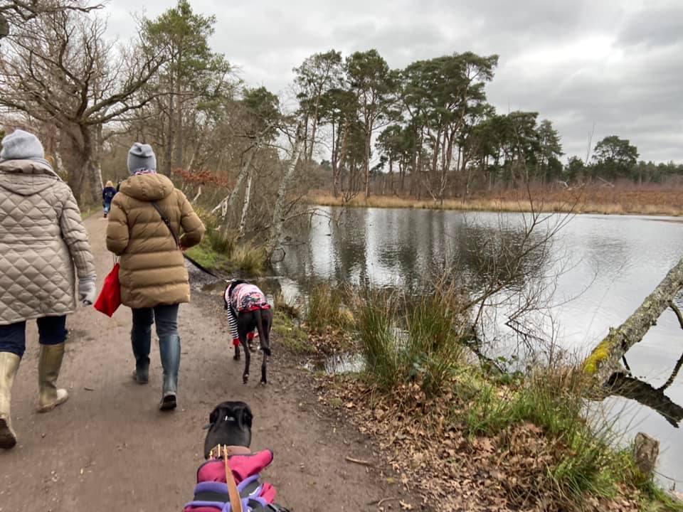
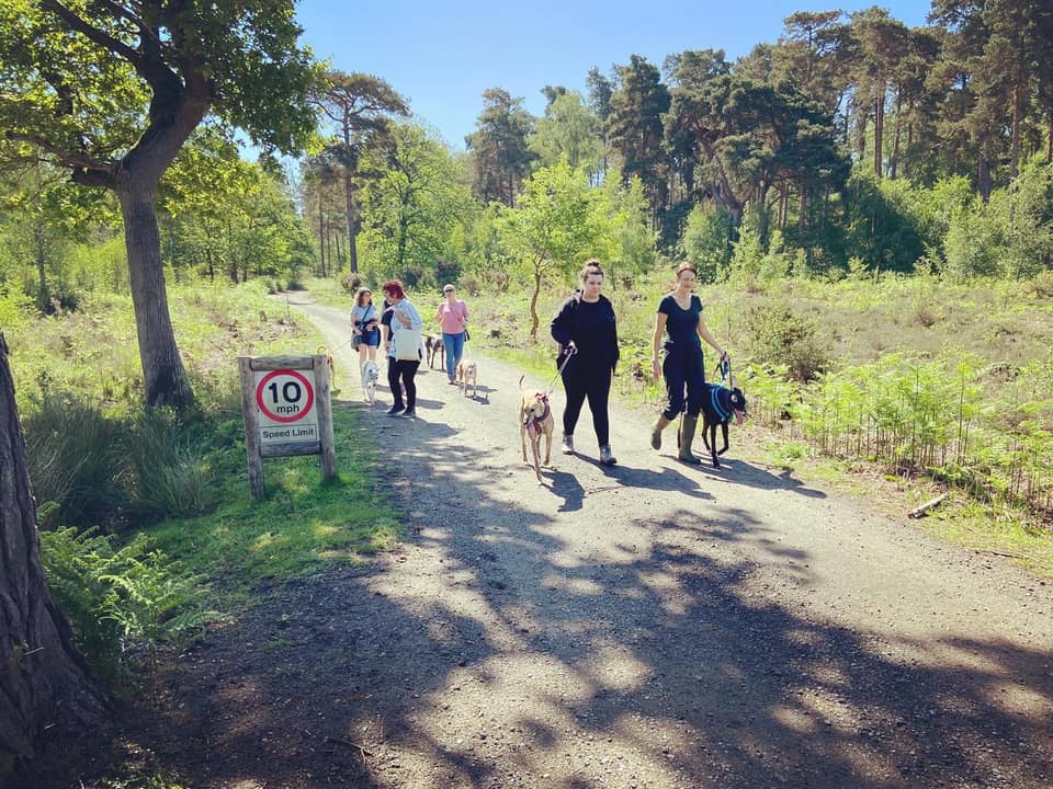
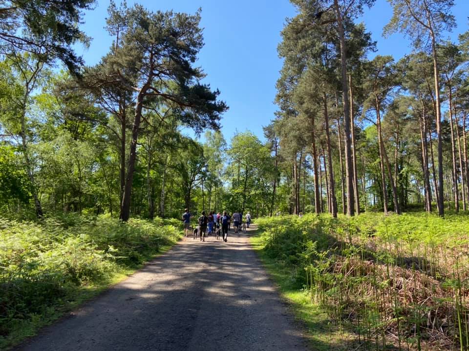
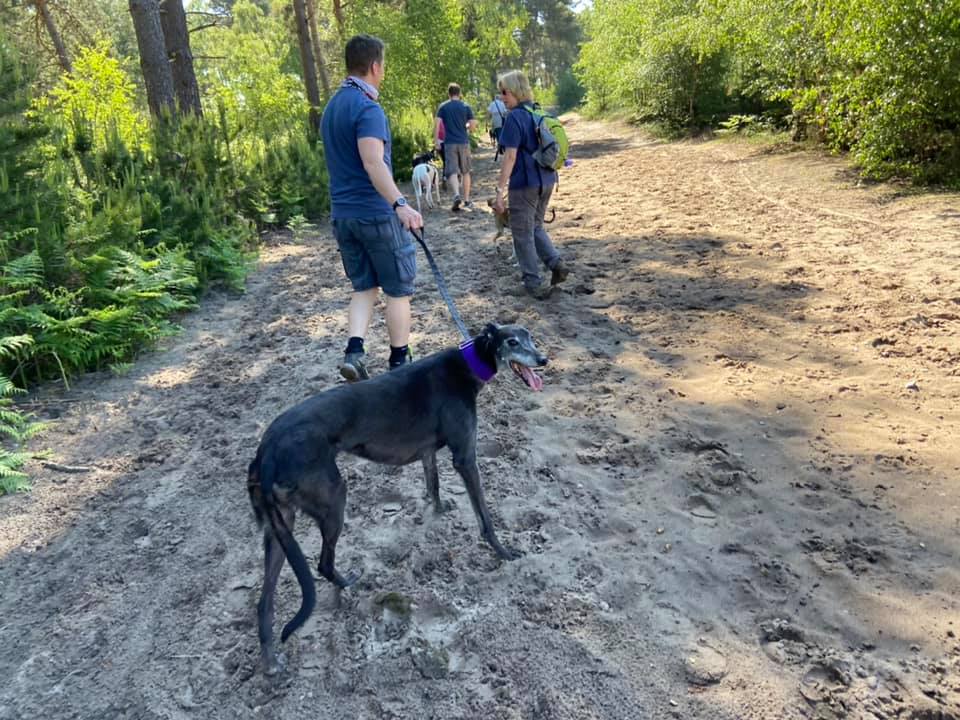
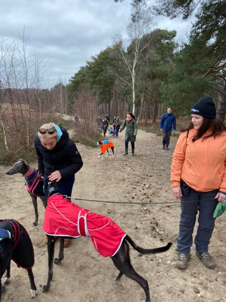
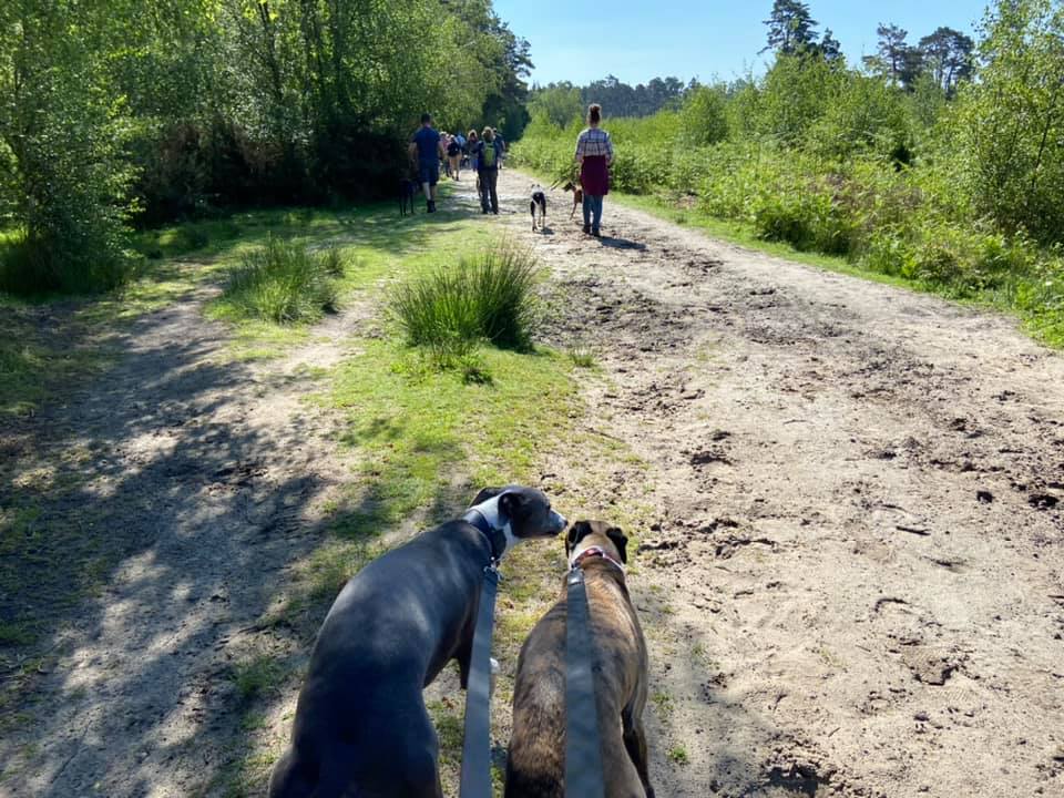
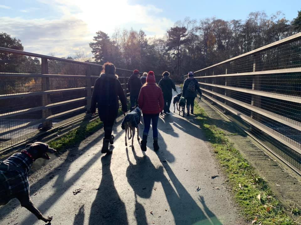
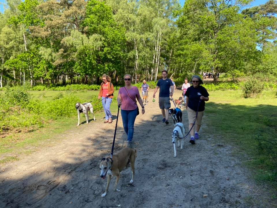
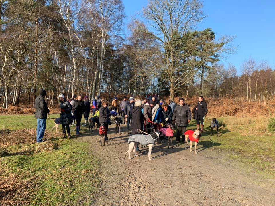
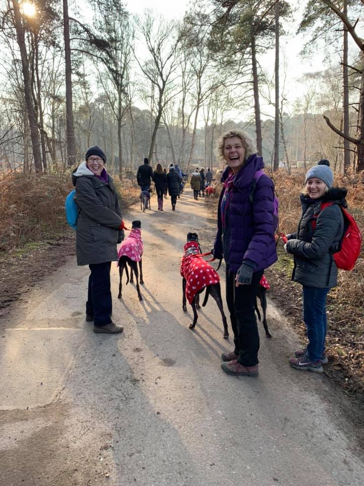
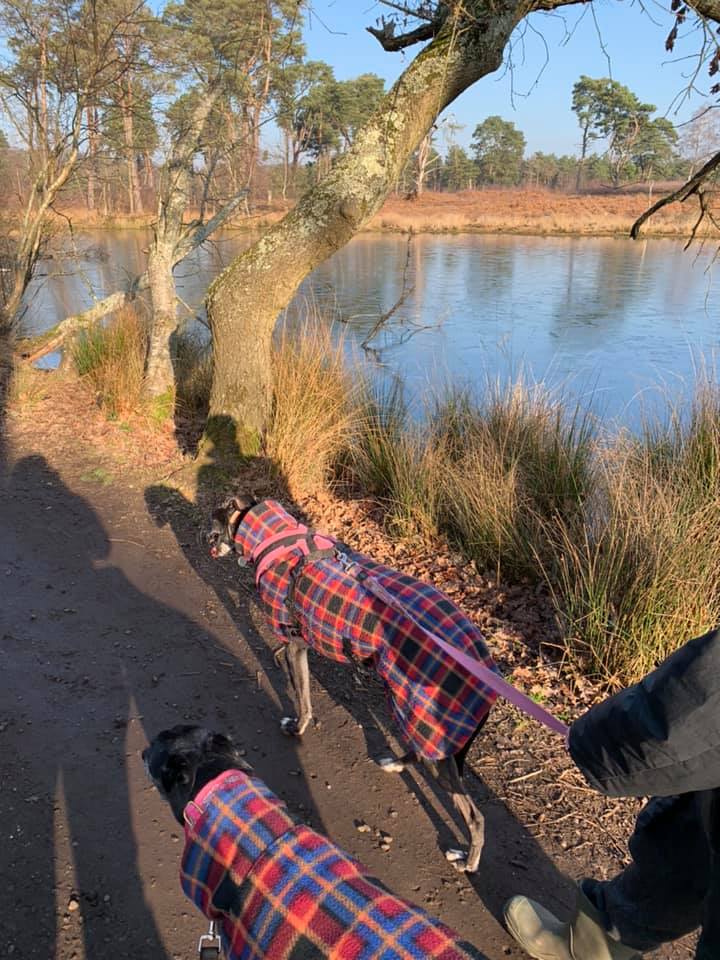
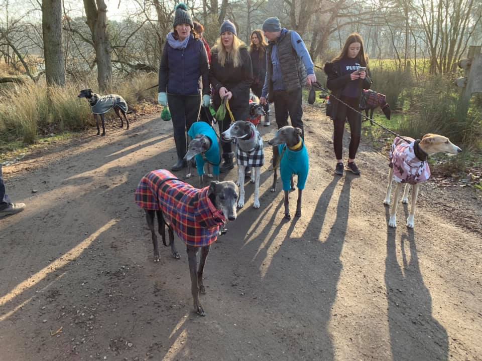
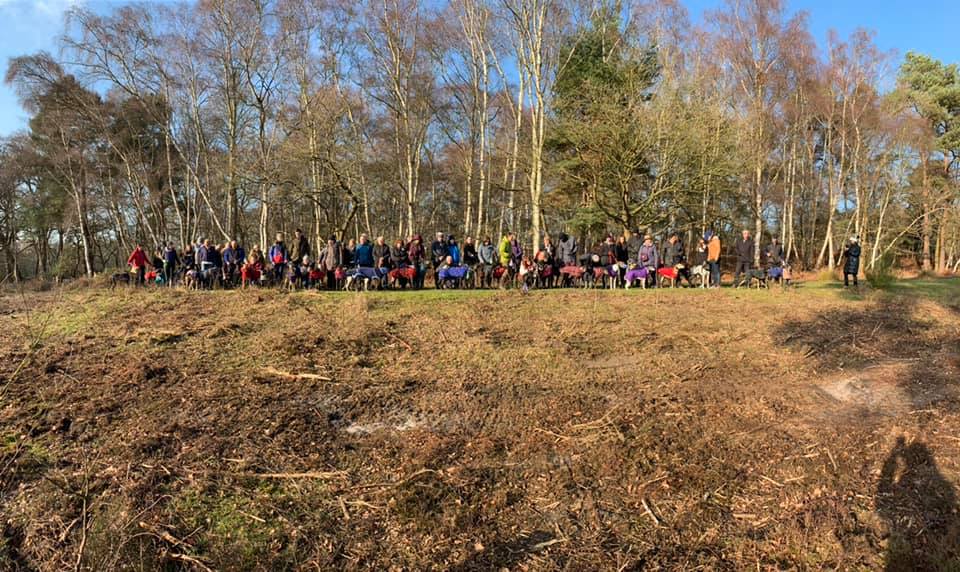
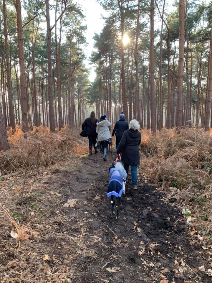
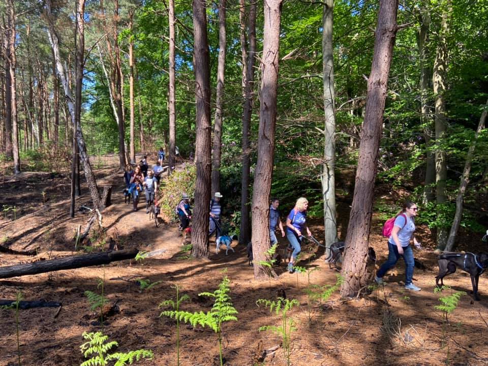
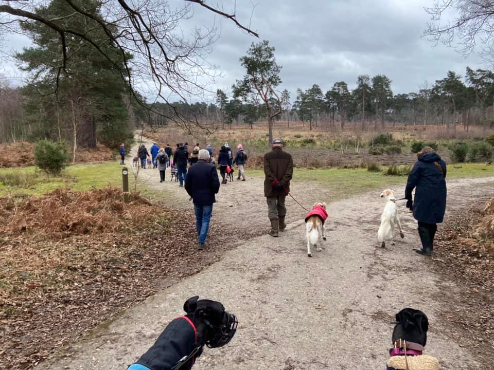
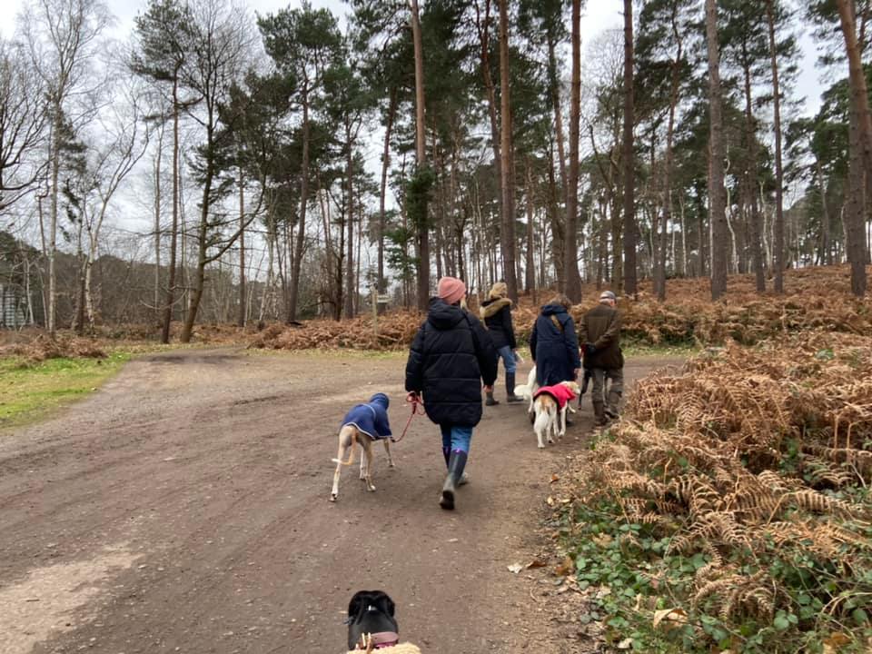
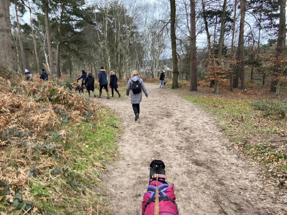
Gallery: What’s it like here?


Parking
Park at the far end of Redhill Road, past Silvermere Golf Course and the Silvermere Equestrian Centre’s Riding School. It is a dead end and there is plenty of on street parking at the bottom and, indeed, along the length of the road. The map below shows where to park, and the nearest post code is KT11 1EQ, which brings you to the equestrian centre.
Poo bins?
None, please take waste home for disposal
Self-guided walk
Here is a Footpath app route for Silvermere. Also on AllTrails. This walk takes you through the silver birch woodland that lies to the north-west of the M25 and A3, then you cross over the motorway (so not a walk for nervy hounds) and loop around Wisley Common. You come up past the pond and Surrey Wildlife Trust office – with this one stretch of the walk appearing also on the Wisley Common walk on this site. Then you head back to the footbridge over the motorway and take a small path through the woods and rhododendron bushes of Silvermere back to the start.
Length: approximately 2.5 miles/4km
Terrain: Flat route on largely dry paths but a few muddy bits in the winter that really do merit boots that you don’t mind getting seriously mucky. Footbridge over the M25 out and back with fast traffic thundering underneath.
Stiles/kissing gates? No stiles, no kissing gates
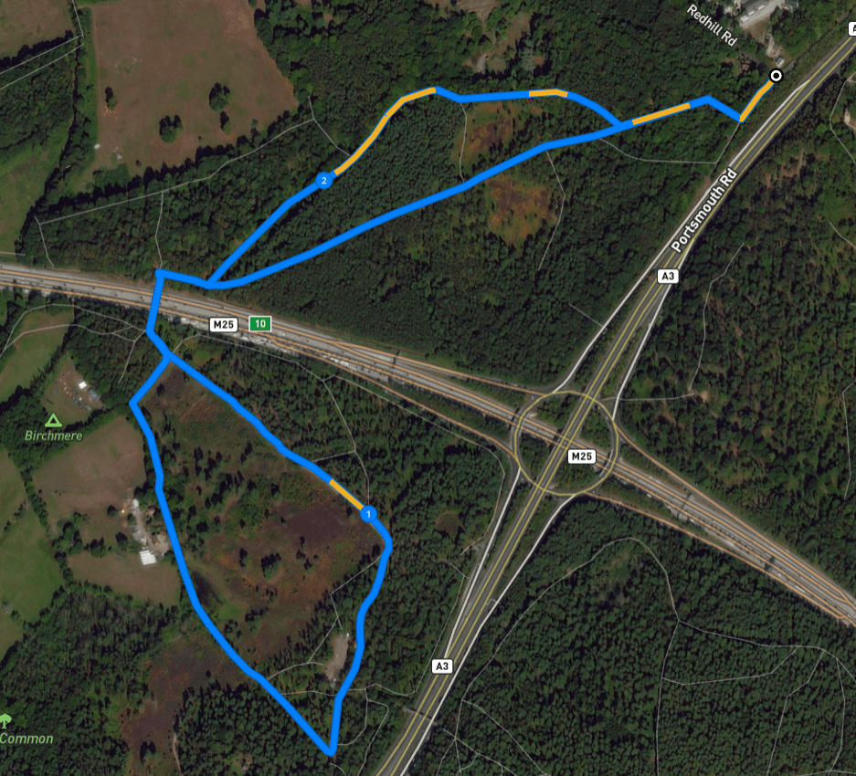
At the end of Redhill Road turn right and head between the concrete bollards down towards the slip road, where traffic leaves the M25/A3 roundabout to head northbound up the A3. Turn right by the wooden Wisley Common information board (which I have never once seen any actual information on), passing into Silvermere woods through a gap that has a yellow-arrowed marker post in the middle. Keep right along the fence line here and go over the big tree stumps/logs – these act as “islands” in a sea of gloopy mud during the winter months.

Once you have navigated the stumps, continue ahead for a few steps, passing a tree that is sort of growing around a decent-sized stump to come to a fork as the land rises up just a touch. Take the left-hand option here and curve round to pass some fallen trees.
This first bit of the route is super easy – just stay on this main path through the woods, ignoring any side paths and junctions until you come to the footbridge over the M25. On the way there, there is a bit where you may think the path is forking and worry about what one to take but it is simply that this patch can be muddy during the wetter months and walkers have created multiple passages through the vegetation – they all ultimately come together.
You’ll know you are coming to the footbridge because the traffic noise will get (even) louder, you’ll see the tall fence between the motorway and the woods, and the path will curve to the right. After a short distance, the bridge over the M25 is on the left. Cross this and when you reach the other side, take the wooden gate to the right of the metal vehicle gate.

Once through the gate, turn left to pass the information board, which has a map of Wisley Common on it, and walk down away from the metal vehicle gate. The surfaced path that you are on will bend to the right, but here you want to go straight onto the wide, sandy path that continues ahead at the corner, passing a small marker post, which is to the left of the path.
Stay on this long straight, which will rise ever so slightly and curve gently to the right until it joins a tarmac drive. To the right, there is a wooden sign for Surrey Wildlife Trust Pond Farm. Turn right onto this tarmac drive. After a short distance, you’ll pass an area on the right that is sometimes used for SWT vehicles, sometimes for storing logs. Continue straight and a little further on, there is a sharp turn to the right with another wide path off to the left/straight on – follow the tarmac drive round to the right.
Keep straight, ignoring paths off to the left. After a little bit, you’ll pass a 10mph speed limit sign on your right and then a large pond/lake, followed by Surrey Wildlife Trust’s Pond Farm on your left.


After SWT’s buildings, you can see fields through the trees on your left. Just before you reach Birchmere Scout campsite, turn right onto a wide path that has trees on the left and scrub/heath on the right. At the end, it bends to the left and up to a metal vehicle barrier that you should recognise from earlier. Head up the slope and pass to the left of the vehicle barrier, where the information board is, then through the wooden gate on the right and cross back over the M25 via the footbridge.
At the end of the footbridge, ignore the little path that heads uphill straight ahead and turn right to return along the main path that you came down earlier. You can either follow this all the way back to the start, or you can take an alternative route, as described below.
Not long after you leave the bridge behind you, there is a path off to the left. Take this path, which is quite narrow and passes a marker post in the vegetation to the right-hand side of the path.

This path is lined on the left by big gnarly (Oak??) trees, and on the right by a plantation of tall pines. Just follow this straight, ignoring little paths off here and there and crossing over the small cross paths – so small you may not even notice it.

After quite some way, the fence will reappear on your left. I realise the way I have worded that makes it sound like MAGIC but it’s just that the fence line changes direction to come closer to the path. You should notice here a dead tree on the left too. Continue straight along the fence, ignoring a path that goes off to the right through the pine trees.
The path ahead at this point may look pretty narrow – it is the right one, I promise. It goes past some holly bushes and rhododendrons, which have big purple flowers in the summer. I have a fact about holly bushes – did you know that their leaves aren’t all spiky? Apparently leaves lower down tend to be super prickly but the leaves of some varieties are smoother the higher up the plant they grow. This phenomenon is called heterophylly and scientists say it’s an evolutionary measure to protect against hungry herbivores that would otherwise have a good old nibble. Thank you for coming to my botany lesson.
This next bit is a bit up and down through tall pine trees with barely any foliage underfoot. The fence is still on the left and if you look through, you can see plush grounds and a big red brick house, which is Foxwarren Park, a fancy Victorian country estate, which was built in the 1860s. From 1919 to 1955, it was owned by President of the Avicultural Society, Alfred Ezra, and home to the last known pink-headed ducks in the world. They are classed as critically endangered rather than extinct, as it is believed some may survive in the inaccessible swamp regions of northern Myanmar although apparently nobody has been able to prove this. Thank you for coming to my ornithology lesson.
Presently, the fence on left ends and just after this there is a big fallen tree. Ignore the path that heads upslope to the left here and keep straight ahead, going over the little cross paths and through silver birch trees. The way curves gently to right and comes down to the main path you took on the outward leg of this walk at a point where there is a big tree stump in front of you. Turn left here and follow this path back through the trees, over the tree stump “islands” and through the gap to leave the woods. Turn left and head back up to Redhill Road.

Leave a comment