Page contents
About
Gallery
Parking
Poo bins?
Self-guided walk
About
Known as “London’s lost route to the sea”, the Wey and Arun Canal is a partially open, 18.5 mile (30km) canal running southwards from the River Wey at Shalford in Surrey to the River Arun at Pallingham in West Sussex.
The first scheme to link the two rivers was proposed in 1641 and a bill was submitted to Parliament, however it was dropped at committee stage. The idea was resurrected in the 1800s, partly due to the Napoleonic Wars – with Britain at war with France, the usual cargo shipping route from London to Portsmouth, which went around the coast, was at risk of attack and an inland route was needed. Construction began in 1813, although the war was over by the time it was finished in 1816. It had 23 locks along its length, was suitable for 30-ton barges, and cost £103,000.
Following the Industrial Revolution, commercial trade on the canal gradually increased, with 23,000 tons carried at its peak in 1839. But in 1865, a new railway line opened between Guildford and Horsham in direct competition and in 1871 the canal was formally closed.
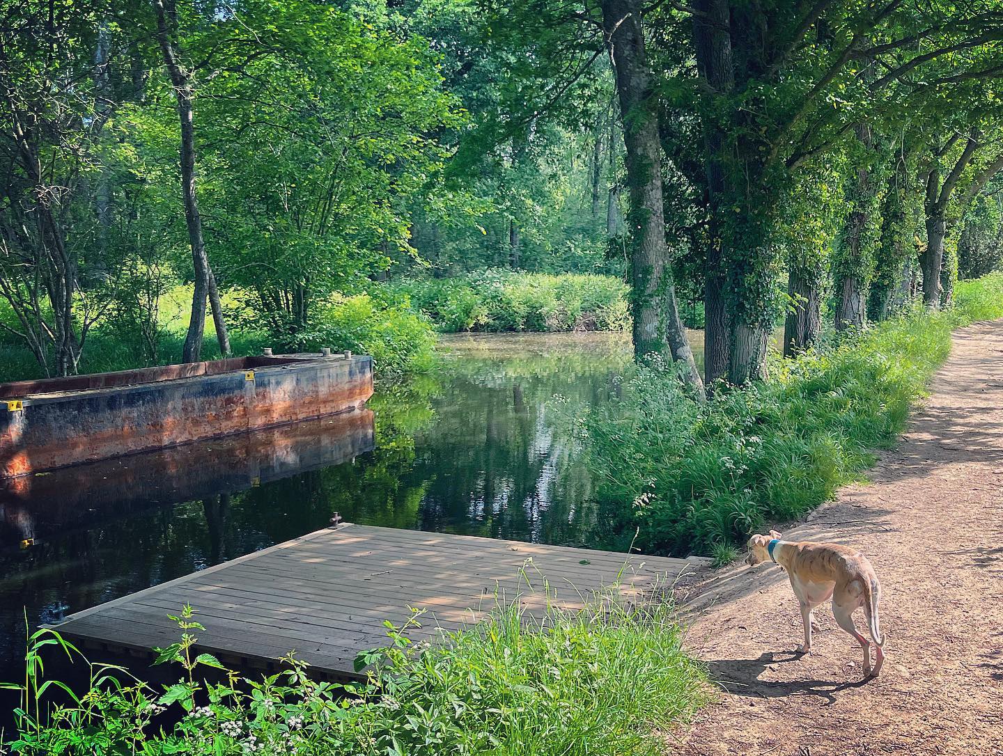
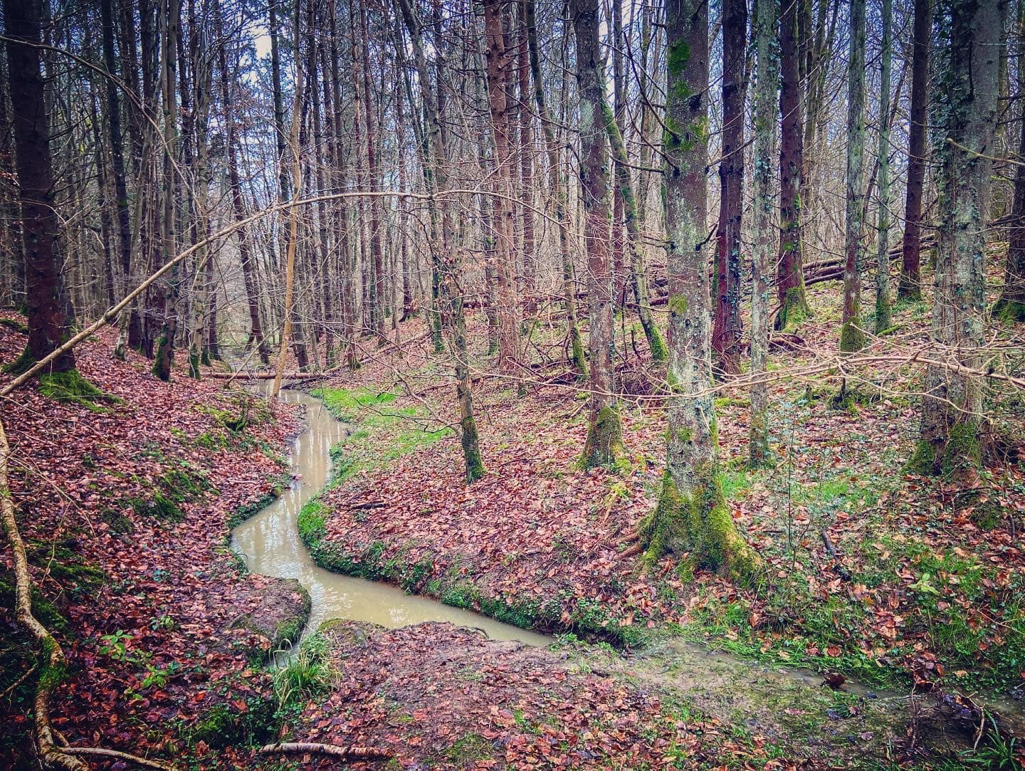
The canal was left to go to ruin without maintenance and it was in a sorry condition by 1970, when the Wey and Arun Canal Society (these days called the Wey and Arun Canal Trust) was formed and started restoration work at multiple sections of the route. Consequently, you can now enjoy boat trips and canoeing, kayaking and paddling from the canal centre at Loxwood. However, some sections of the canal are still not in use, with lengths of the former waterway now dry, including some parts that run through Sidney Wood, a walk for which you can find on this site here. Note, there is also a walk on this site that starts at the canal centre and goes westbound.
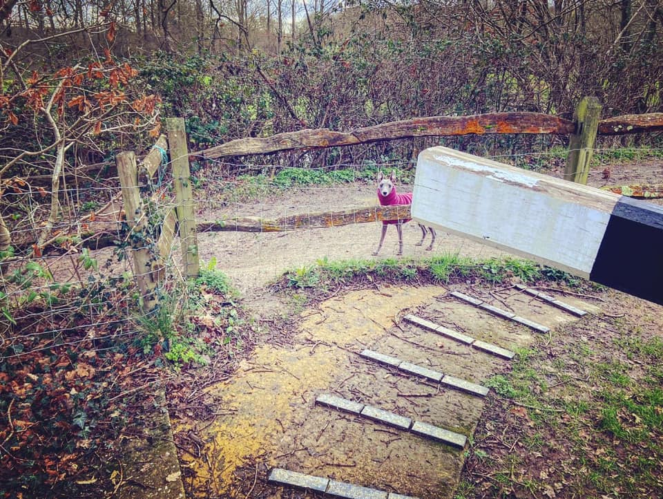
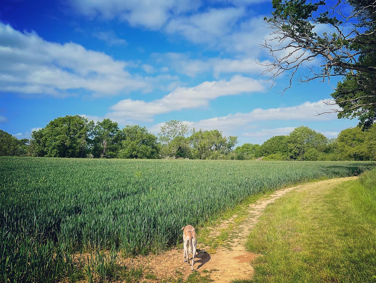
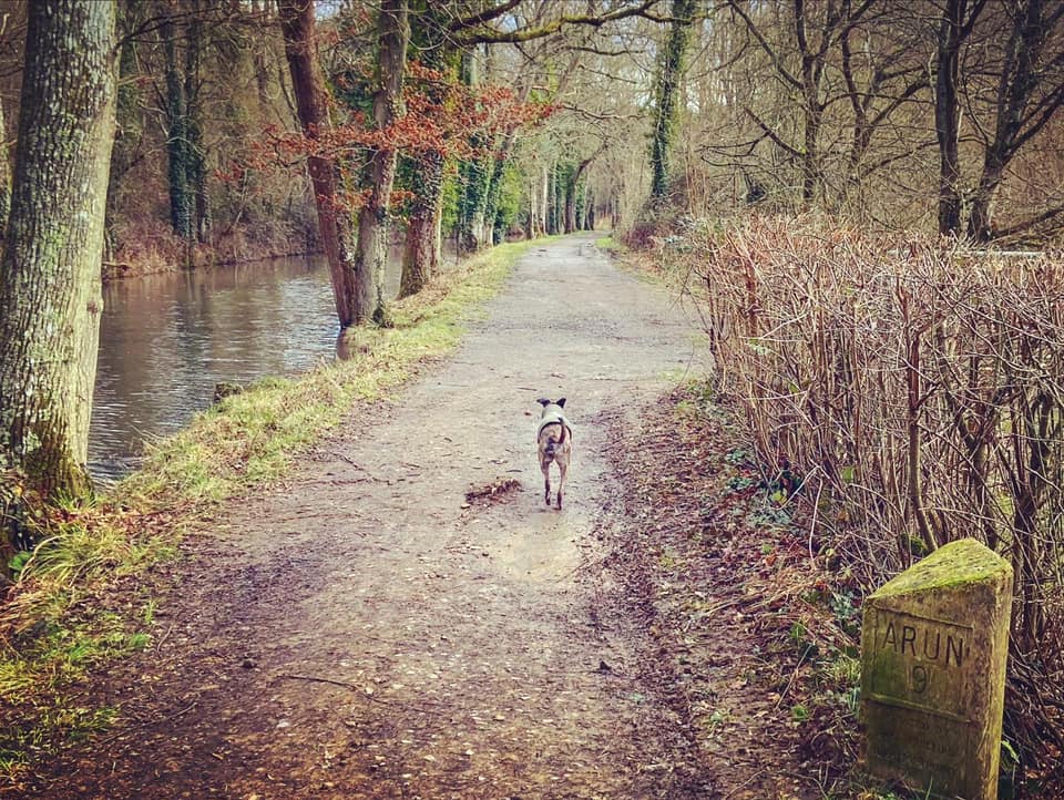
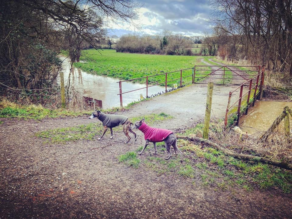
Gallery: What’s it like here?


Parking
Park in the overflow car park of the Onslow Arms pub and Loxwood Canal Centre car park – the access drive is down the side of the pub building, passing the canal centre. The pub has a lovely canal-side garden, which is dog friendly as is the pub’s bar area.
Poo bins?
One on the tow path between the canal centre and Brewhurst Lock.
Self-guided walk
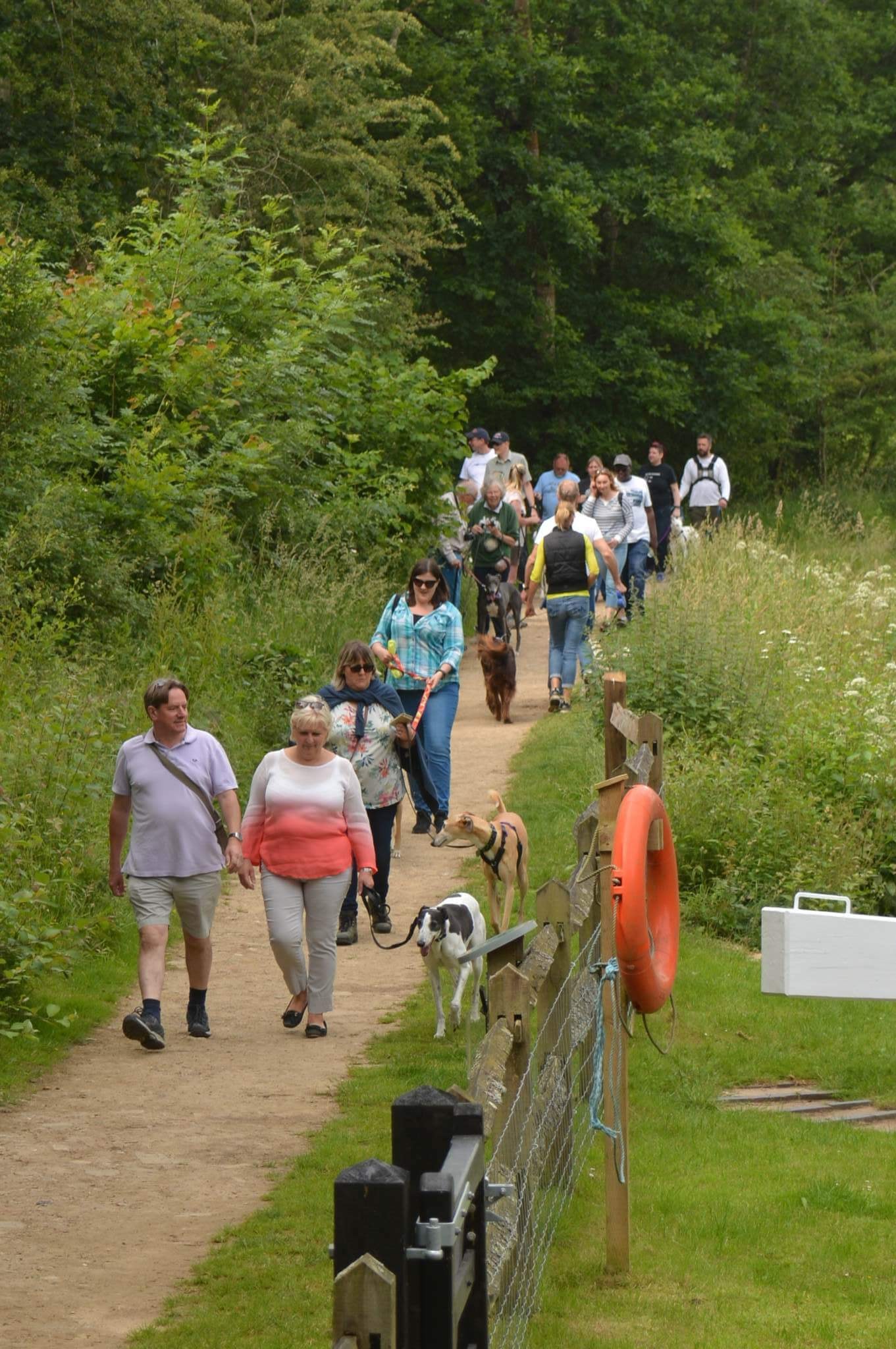
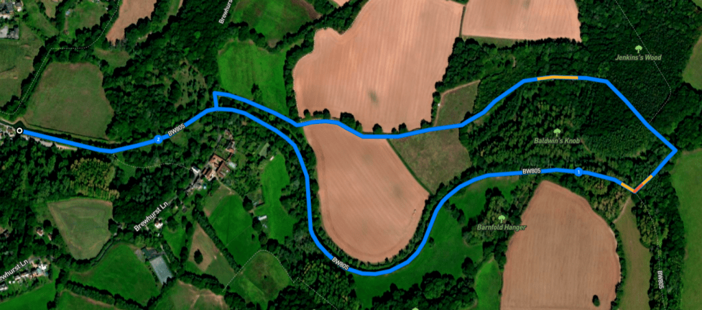
Here is a Footpath app route that will take you eastbound from the canal centre at Loxwood, which is tucked behind the Onslow Arms pub. Also on AllTrails. You’ll pass Brewhurst Lock and Baldwin’s Knob Lock, before crossing over the canal and looping back through Jenkins’s Wood and fields.
Length: approximately 2.2 miles/3.5km
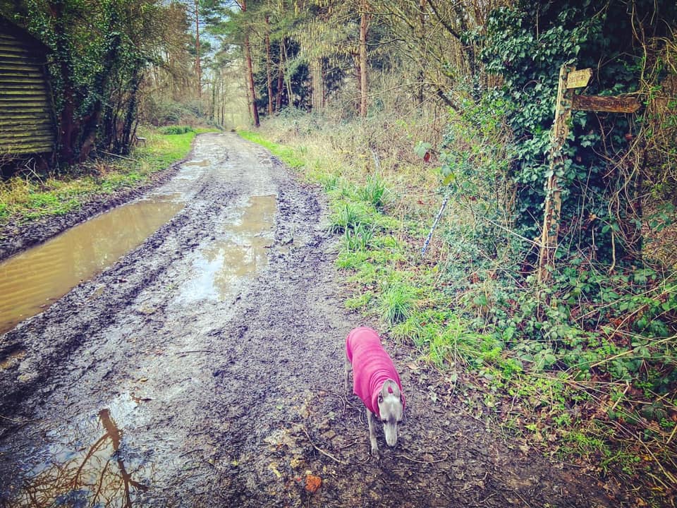
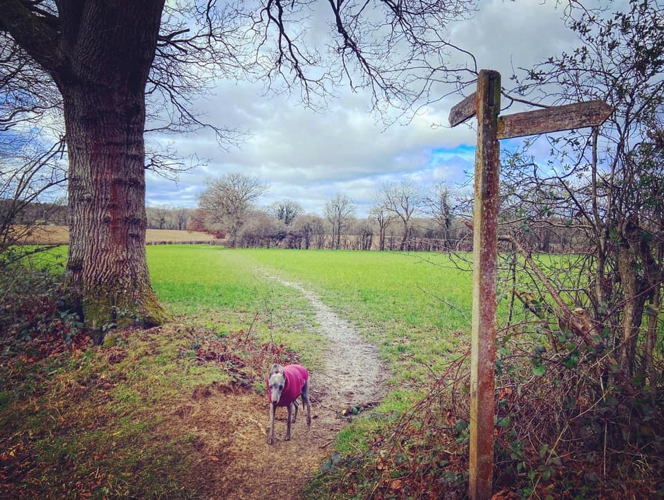
Terrain: Pretty flat, this walk is mainly on the canal tow path, much of which is dry. Other parts of it can be extremely muddy in the winter, especially the section through the woods. One stretch is narrow with quite a few tree roots crossing the path so you will need sturdy footwear. A couple of super short sections along an extremely quiet lane and a vehicle track.
Stiles/kissing gates? No stiles, no kissing gates
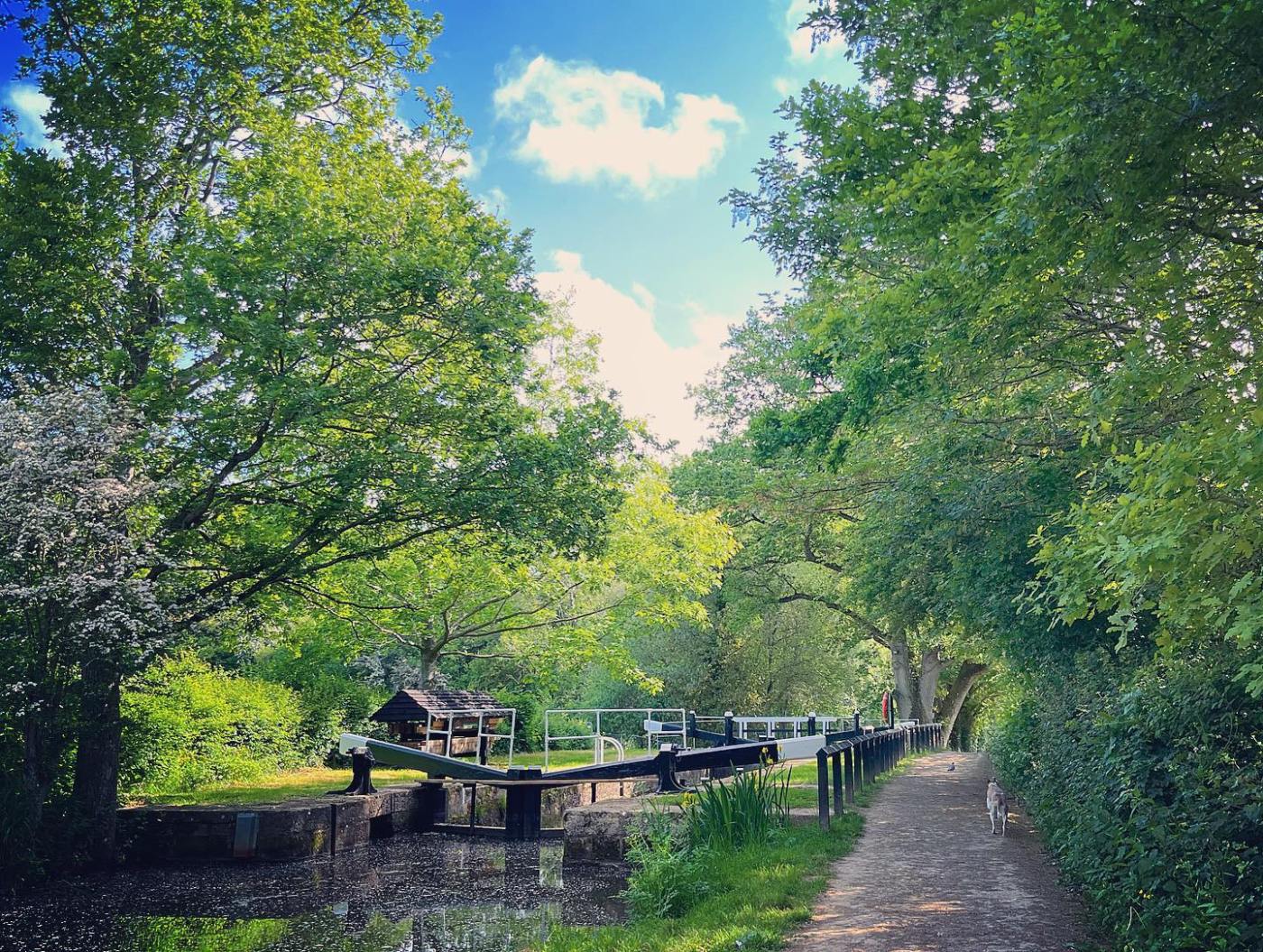
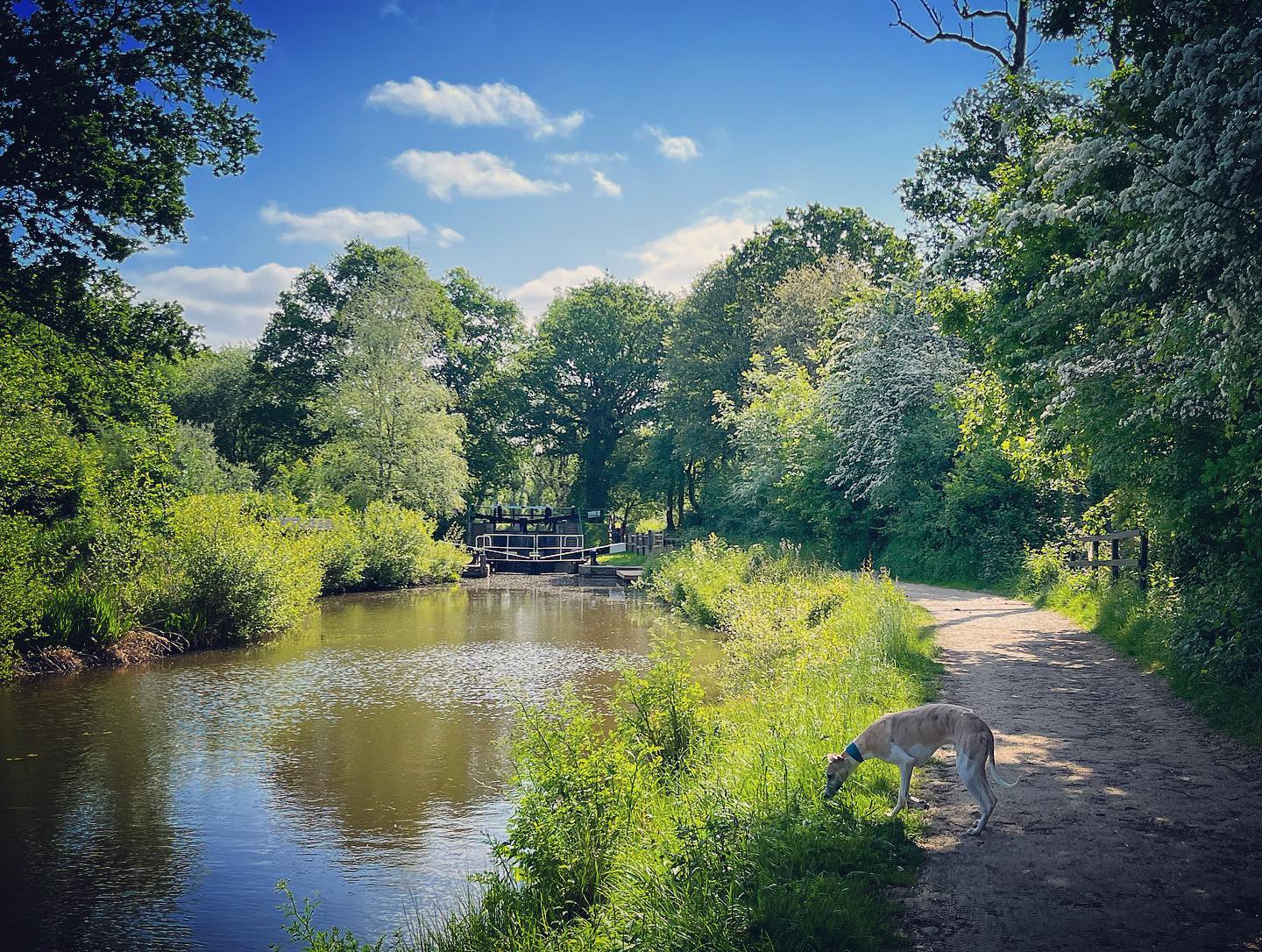
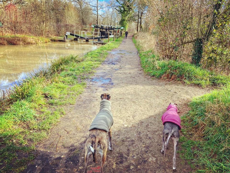
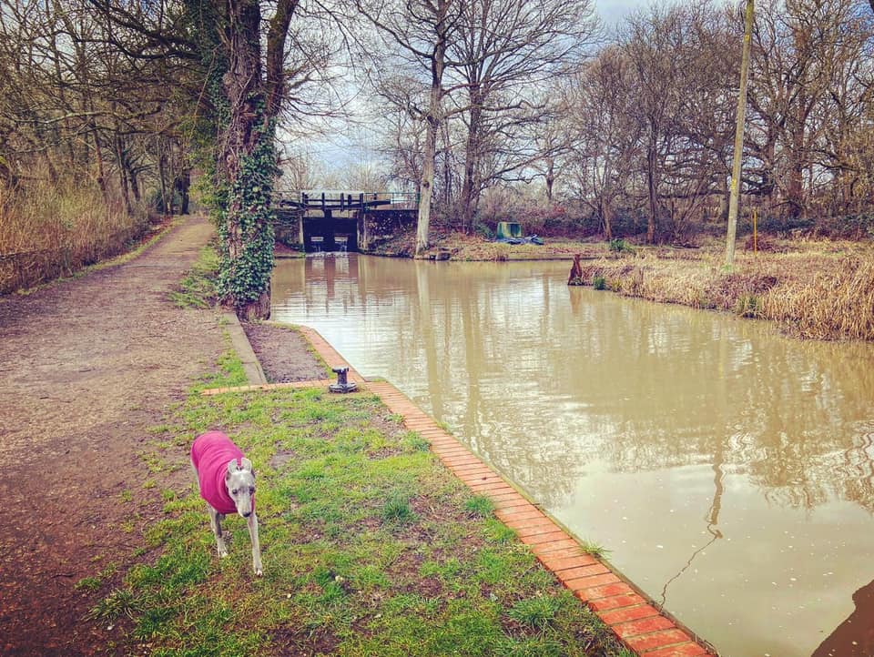
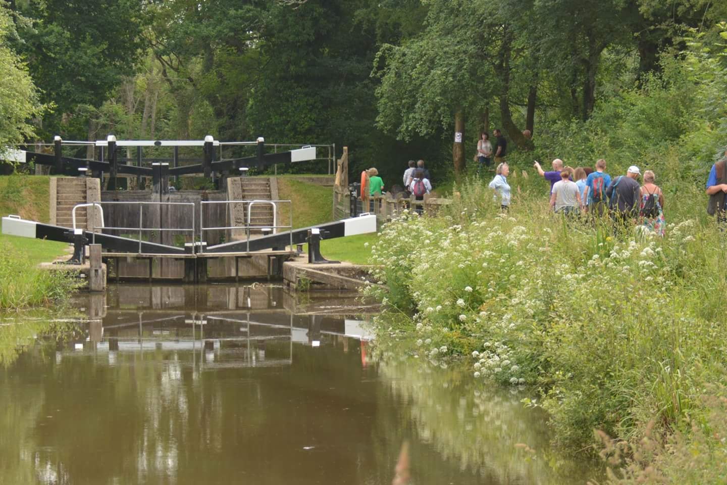
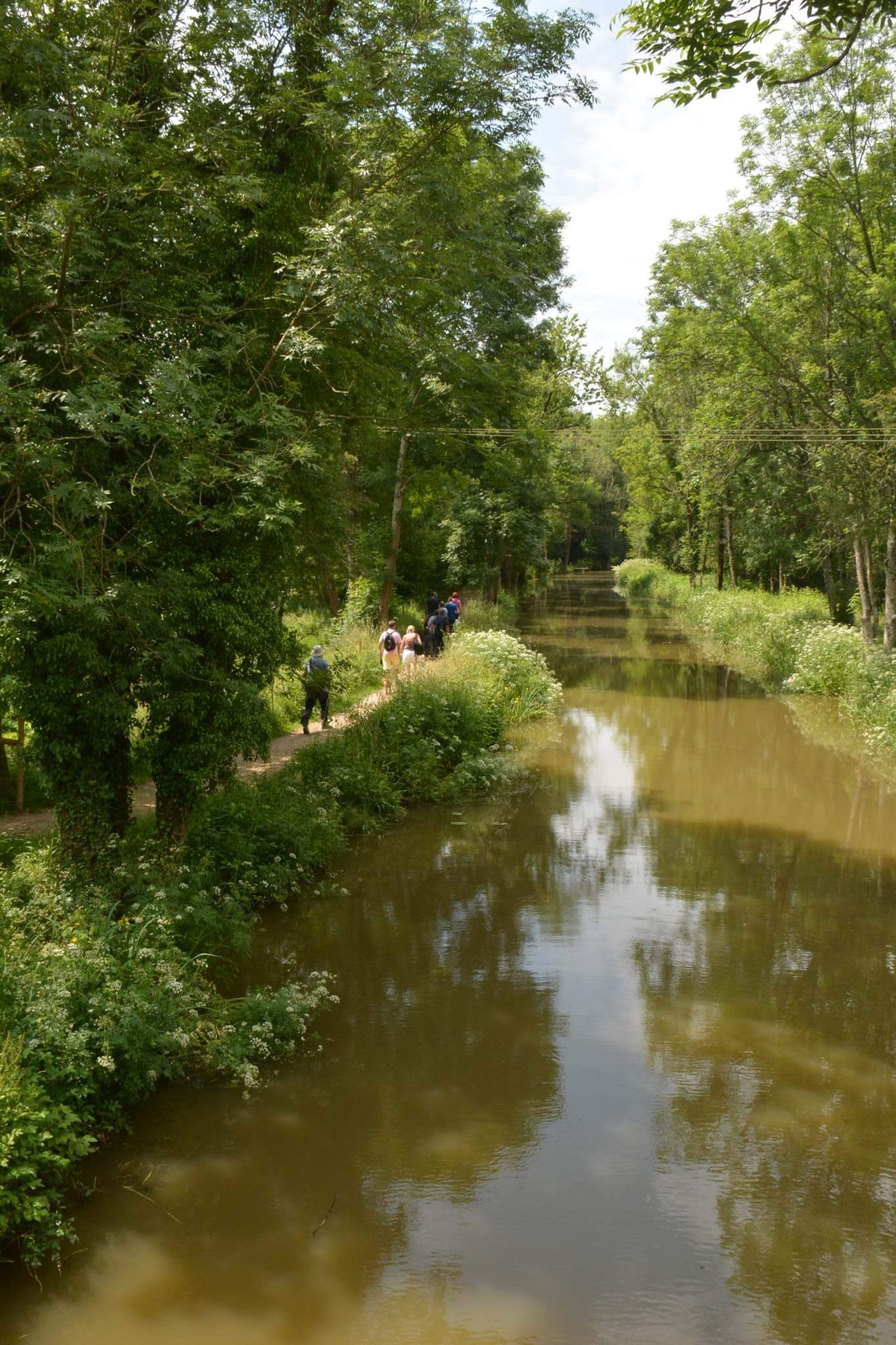
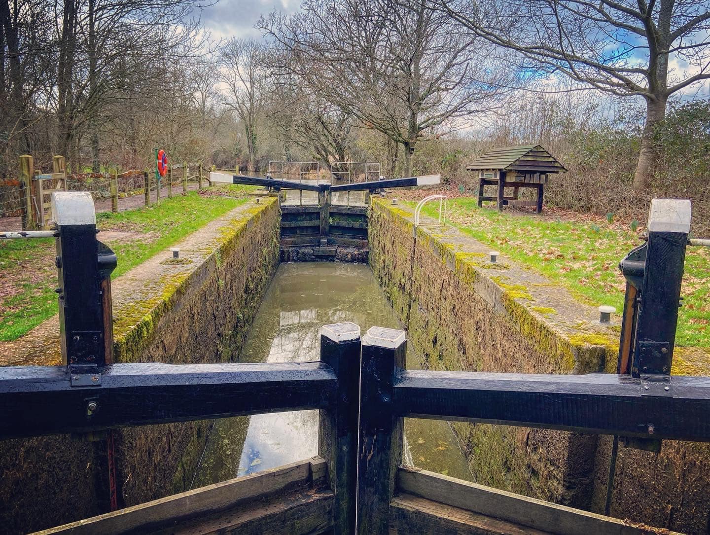
In the car park, with the canal centre building and the Onslow Arms behind you, go up the steps with the black handrail to reach the canal and turn right to walk along the tow path. You’ll already be able to see Brewhurst Lock up ahead. According to the little information post at the lock, it was restored by volunteers between 1994 and 1996 and its gates are unusual in that the top gate is lower than the bottom one.

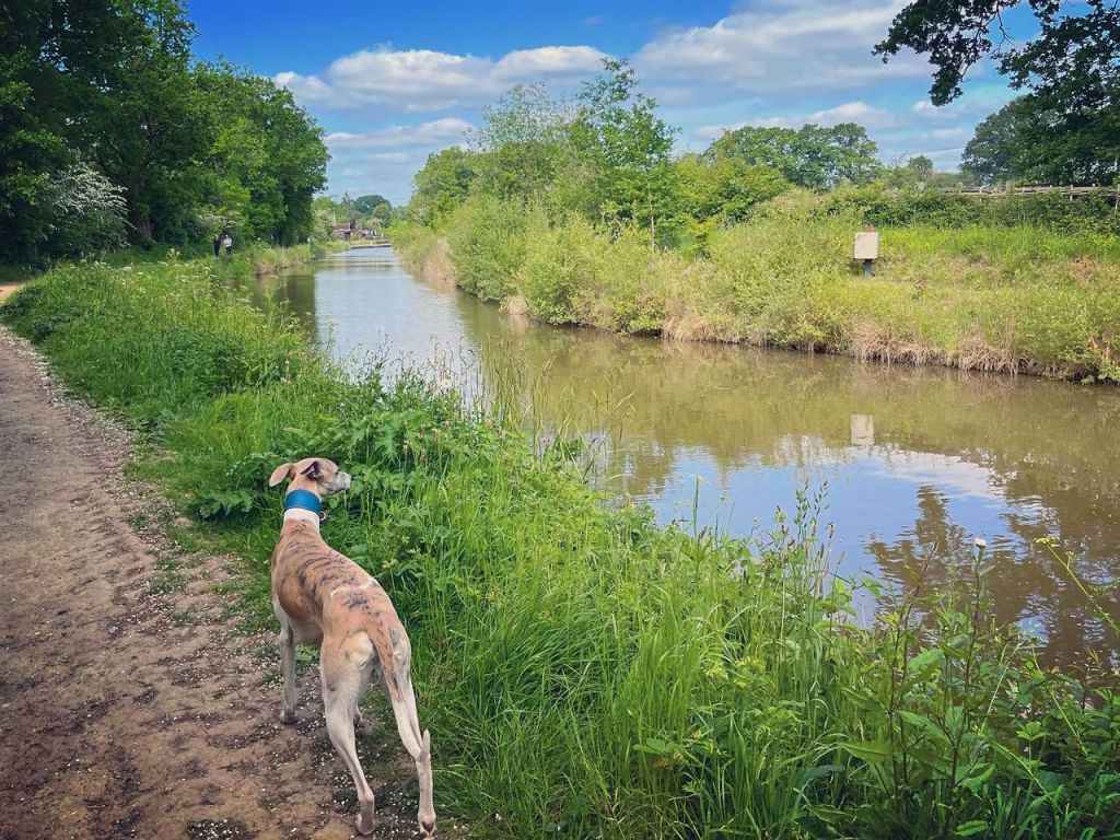
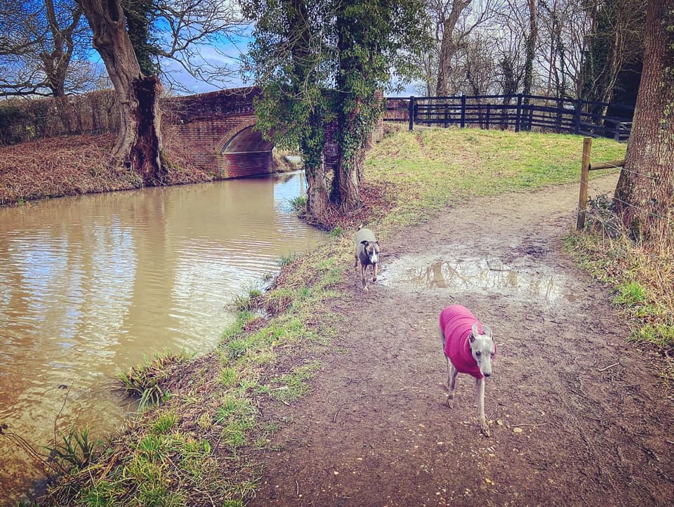
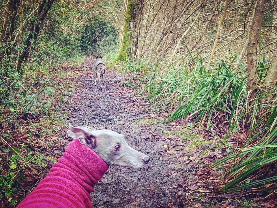
Continue past the lock and keep going along the tow path – if you look to your right, you can see the River Lox and water pouring through a weir related to nearby Brewhurst Mill. Put any off lead dogs on lead as you near the bridge ahead. This carries a small lane over the canal and, while I don’t recall ever seeing any traffic here, you never know when a car will come along.
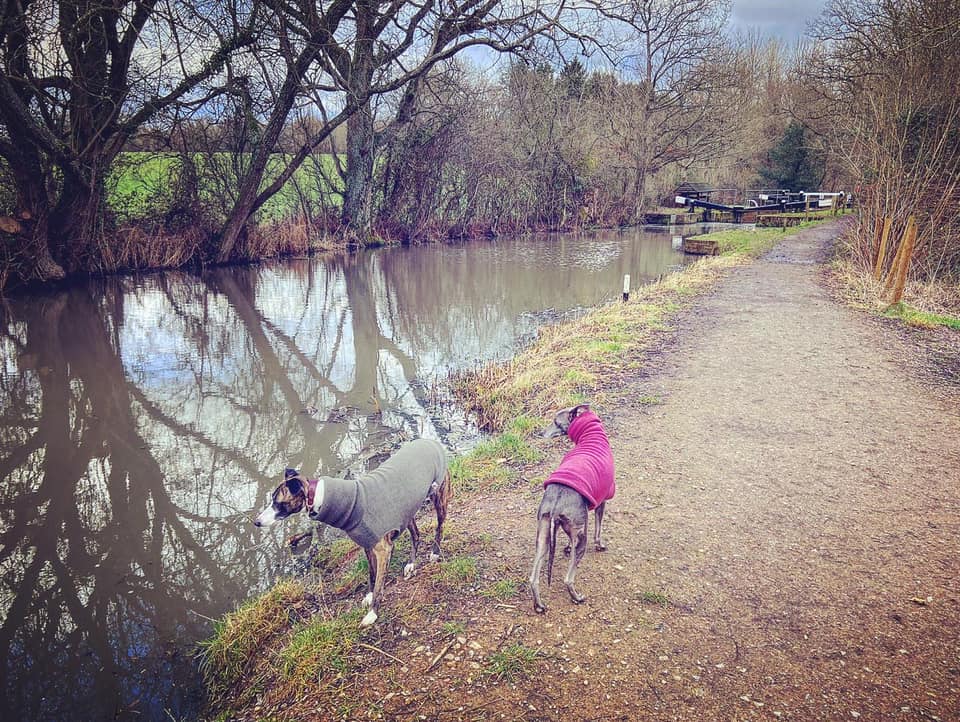
Cross over the lane and go through the black gate with the “no fishing” sign on it to continue straight along the tow path. There isn’t a great deal to say about this bit of the walk, except perhaps to remark on how nice it is to stroll with the calm waters of the canal on your left while the more turbulent river (certainly in winter anyway) rushes by on the right.
You’ll pass a concrete milestone informing you that you are 9.5 miles from the River Arun and 13.5 miles from the River Wey. As I noted on my Sidney Wood walk post, these used to be found every half mile along the canal so that tolls could be levied accurately.
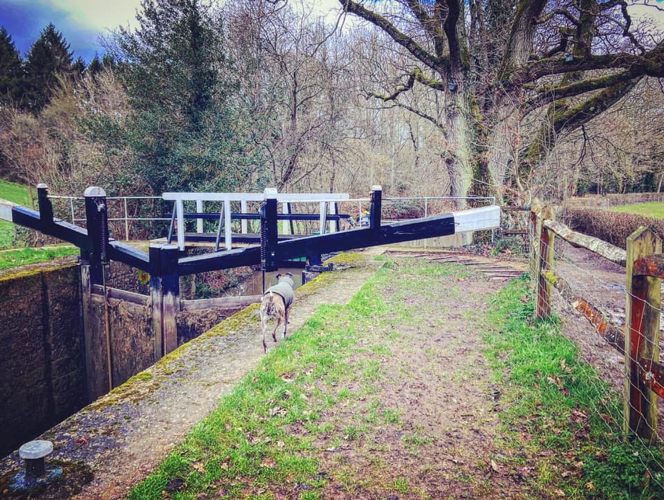
Just keep going as the canal curves round to the left. Presently you’ll reach Baldwin’s Knob Lock, which gets its name from the wooded hill behind the canal. It was the first lock on the canal to be restored – back in 1990 – and brought back into use by passenger boats. The original lock was built using local stone and the volunteers behind the restoration cast over 100 look-alike blocks.
Continue on the tow path. You’ll pass the milestone informing you that the Arun is 9 miles away and the Wey is 14 miles away.
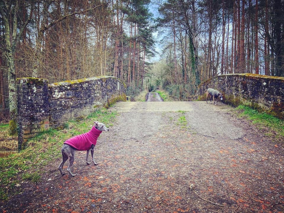
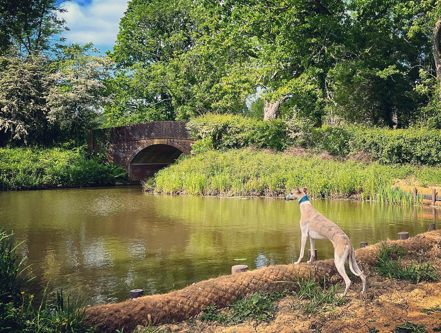
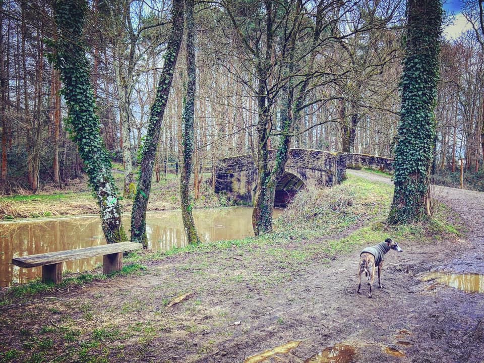
When you reach the stone bridge, turn left and use it to cross over the canal and head up the surfaced track.
You don’t go far along this track before you come to a ramshackle wooden hut on the right, opposite which there is a finger post and a little footpath off to the left. Take this path between a calm pool on the right and an a more turbulent overflow basin (in winter) on the left – you’ll actually walk over the overflow channel, although you may not notice because it can be muddy. At the end of the pool, by the finger post on the left, ignore the path to the right and continue straight on through tall trees, going over a tiny stream (which is only there in the wetter months, although you should still be able to make out its path when its dry.)
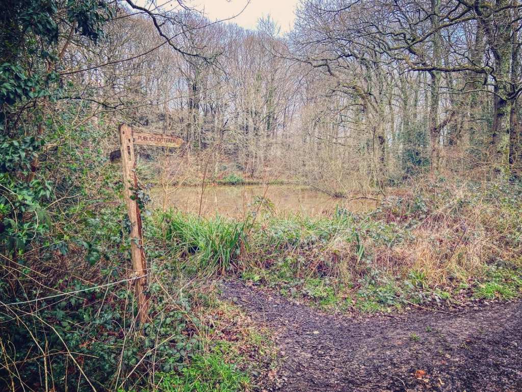
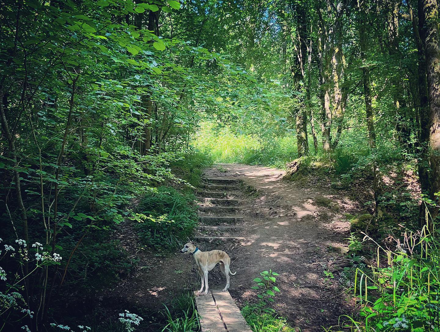
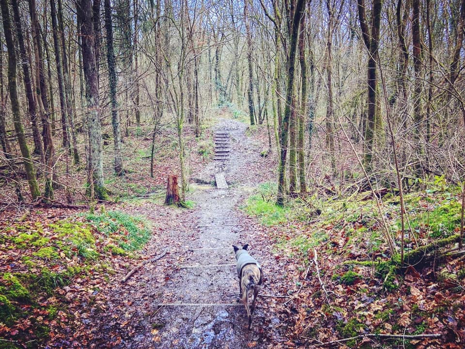
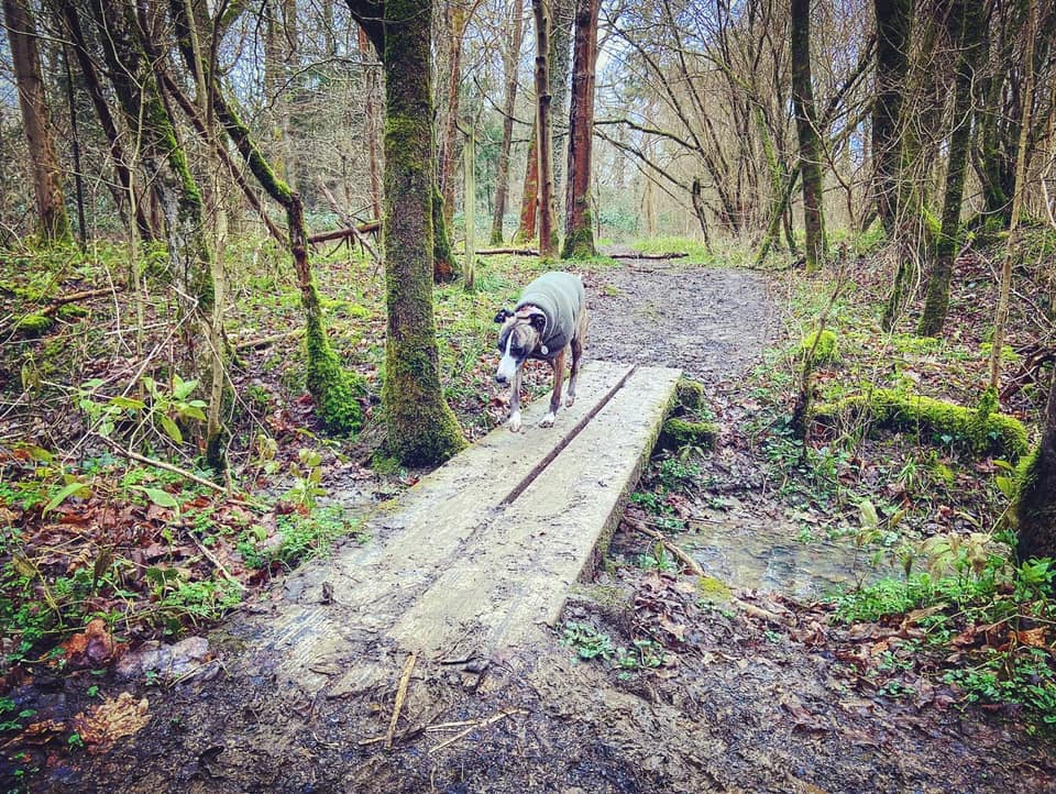
This is Jenkins’s Wood and the path curves round to the left, down some steps, over a plank bridge and back up some more steps, then over another plank bridge.
Like most places in the autumn and winter, it can be pretty muddy as the path narrows and ascends a gentle slope and then takes you along the contour of the hill, but it dries out by the middle of spring.

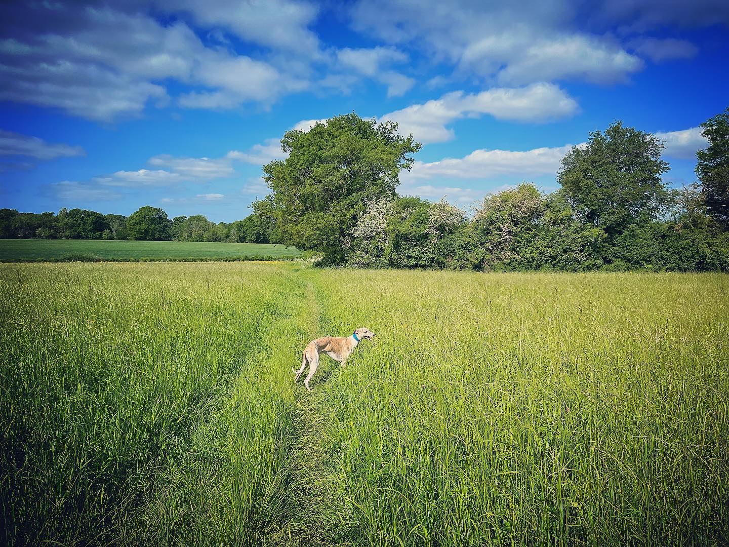
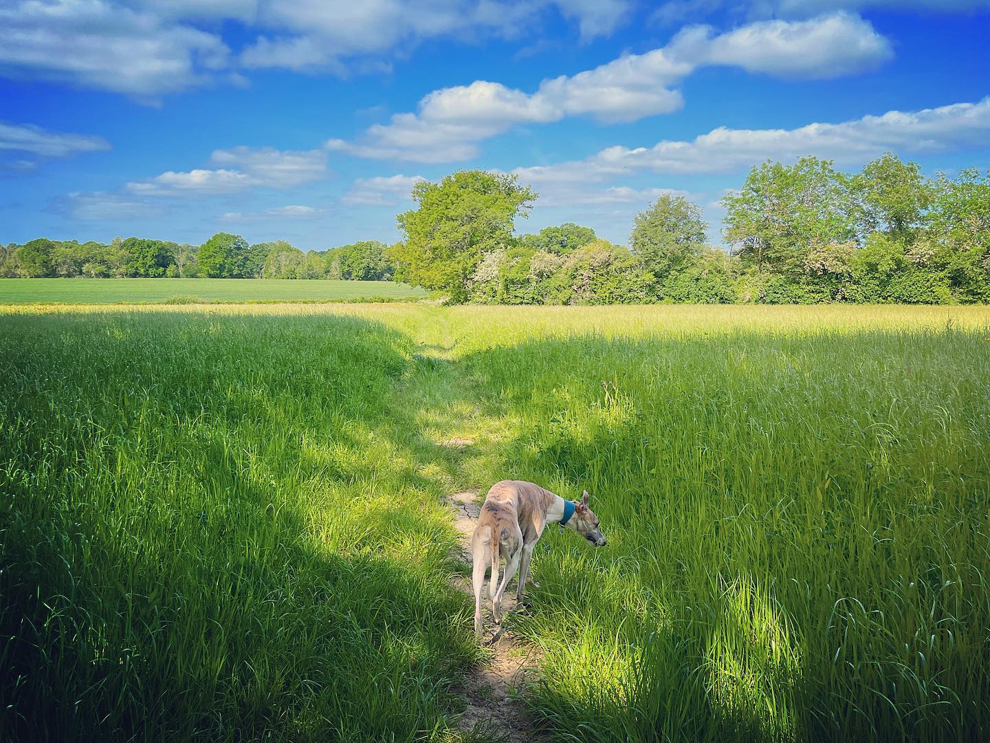
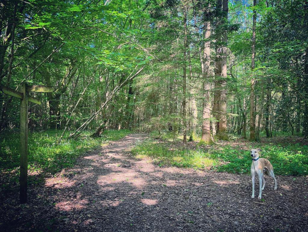
You’ll emerge into an open field. Take the footpath straight across and then along the hedge (which is on the right). Continue straight into the next field.
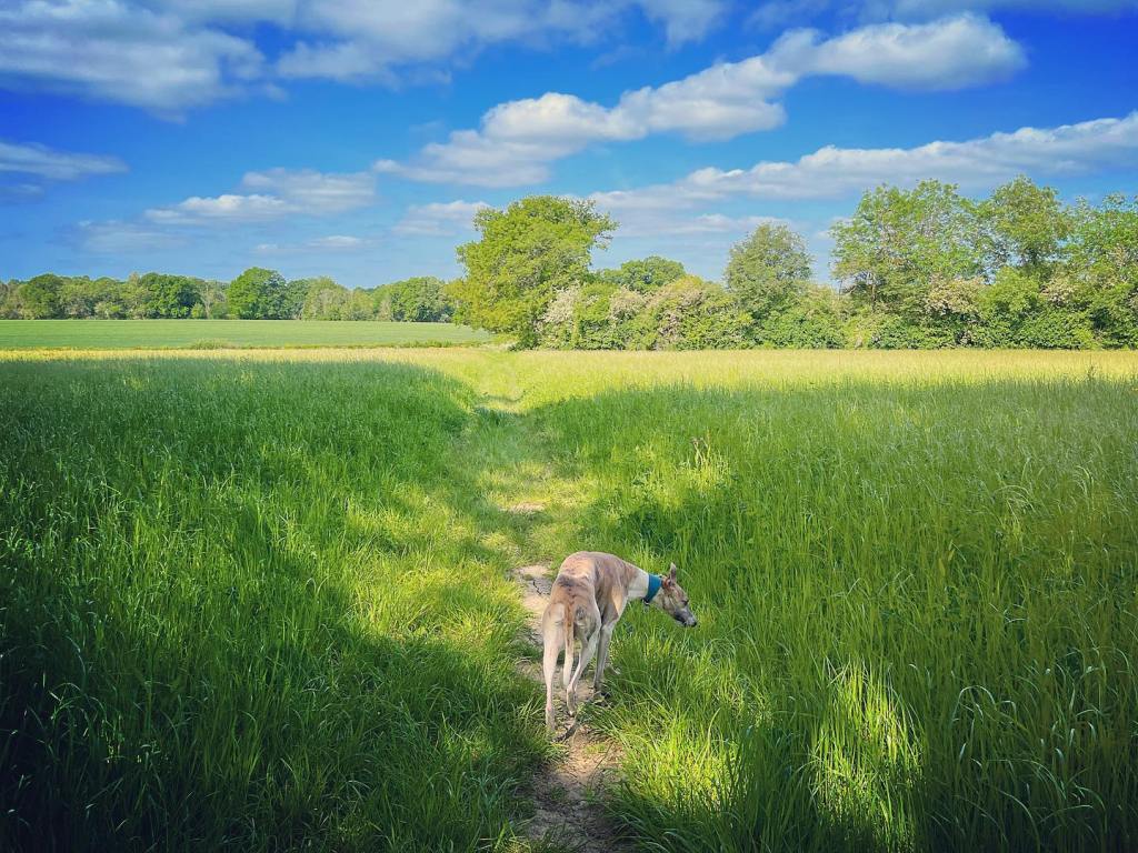

At the end of this second field, it’s straight ahead again where it narrows, ignoring some wooden planks that would take you into another field on the right.
This short section is pretty much always a quagmire from autumn through to the early spring with a watery ditch on the left and the field to the right often under water. As you walk along here, the bridge carrying the lane will come into view ahead and slightly to the left. When you reach the lane, turn left and go over the bridge then turn right immediately after the black fence by the finger post to retrace your steps along the tow path back to the car park (or, better still, to the pub).