Page contents
About
Gallery
Parking
Poo bins?
Self-guided walk
About
Walliswood is a small village near Dorking and home to a little-known church, hidden away in the woods. The Church of St John the Baptist, Oakwood Hill (formerly Okewood Hill) was built around 1220, apparently on the site of a Roman villa, which, in turn, had been constructed where a Druidic temple had once stood.
In 1431, a local man called Edward de la Hale gave the church a whole lot of money after, if local folklore is to be believed, a miracle in its vicinity saw his son saved from the clutches of certain death. The story goes that Ed and his offspring were on a boar hunt, when the lad fell from his horse. As luck would have it – or rather, not have it – the boar they were after was enraged (but, let’s be fair, can you blame it?) and the poor kid was inches from a brutal goring when, as if from Heaven, an arrow whizzed through the air and took the animal out of action. No more boar. There is absolutely no evidence that any of this happened but stories are great, aren’t they?
Anyway, a bit of more boring (less boaring hahaha) history for you now. While limited modifications were made in the mid-15th century to extend the nave, the church remained largely unaltered until 1879. At this time, the addition of a north aisle, vestry, new spire and north and west porches enlarged the building to twice its original size.
Today, the church is a grade II listed building. It is quite a distance from any major roads, but the footpaths that converge here were once the bridle paths which for centuries constituted the main ‘highways’ long before the more modern road network diverted traffic elsewhere. So basically, this church was pretty much where it was at way back in the day.
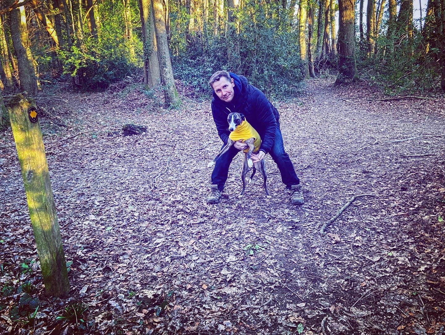
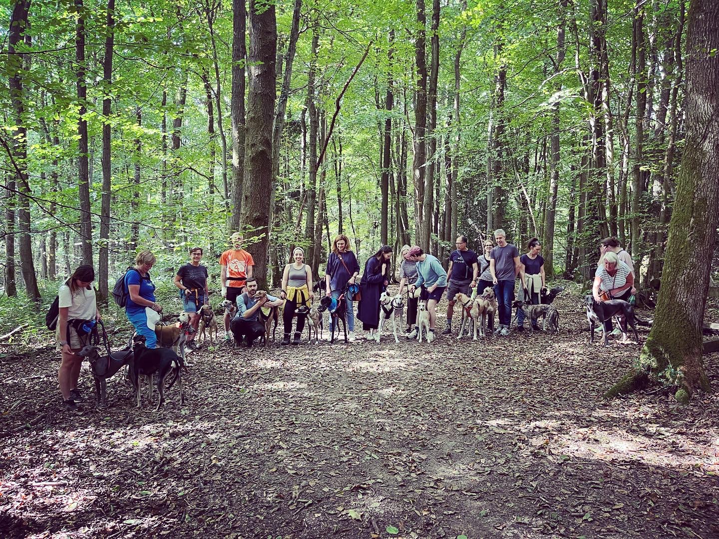
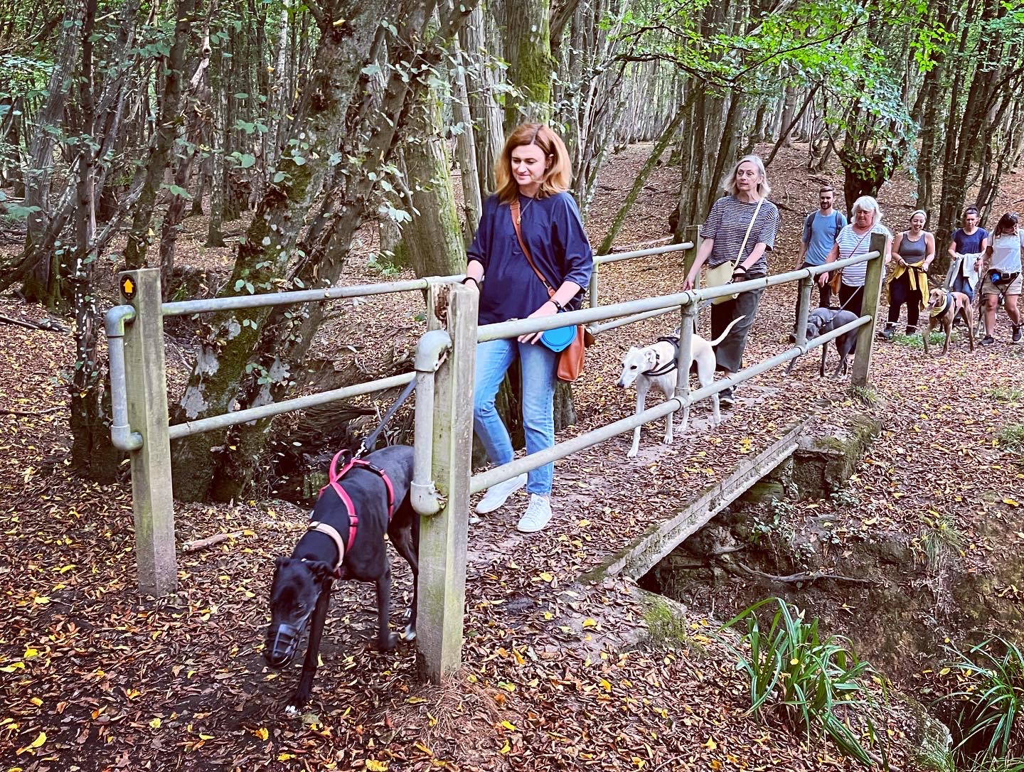
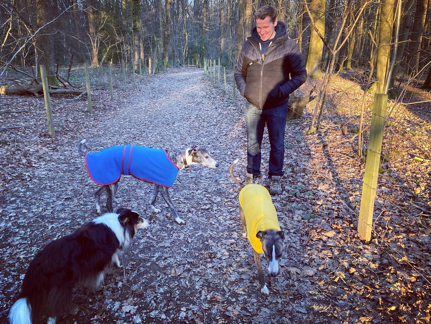
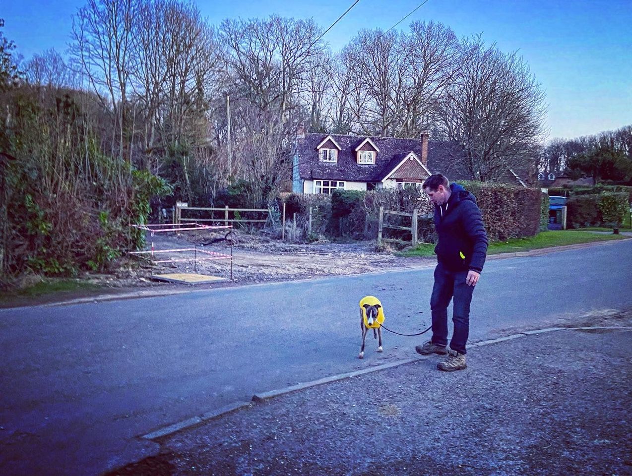
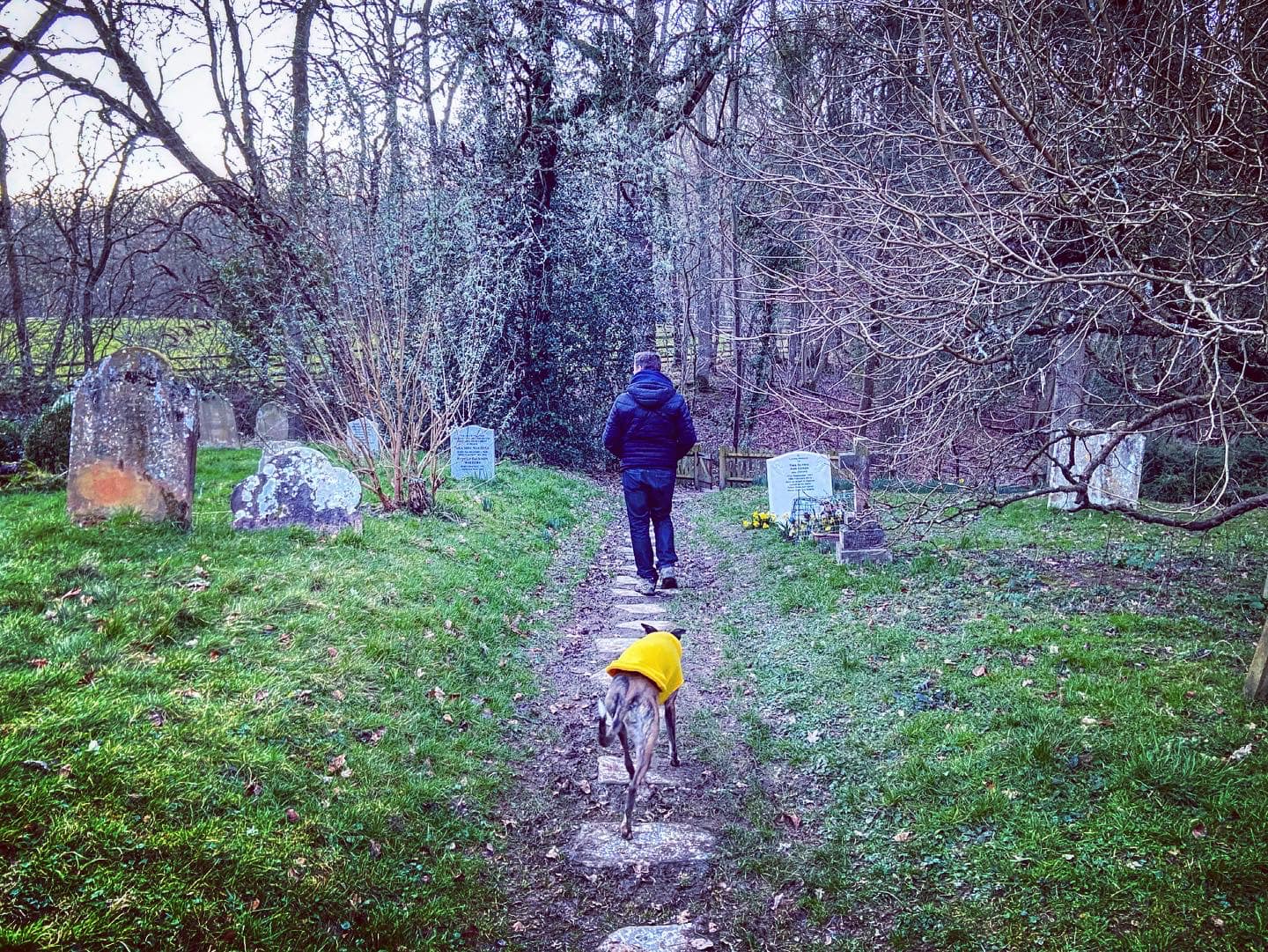
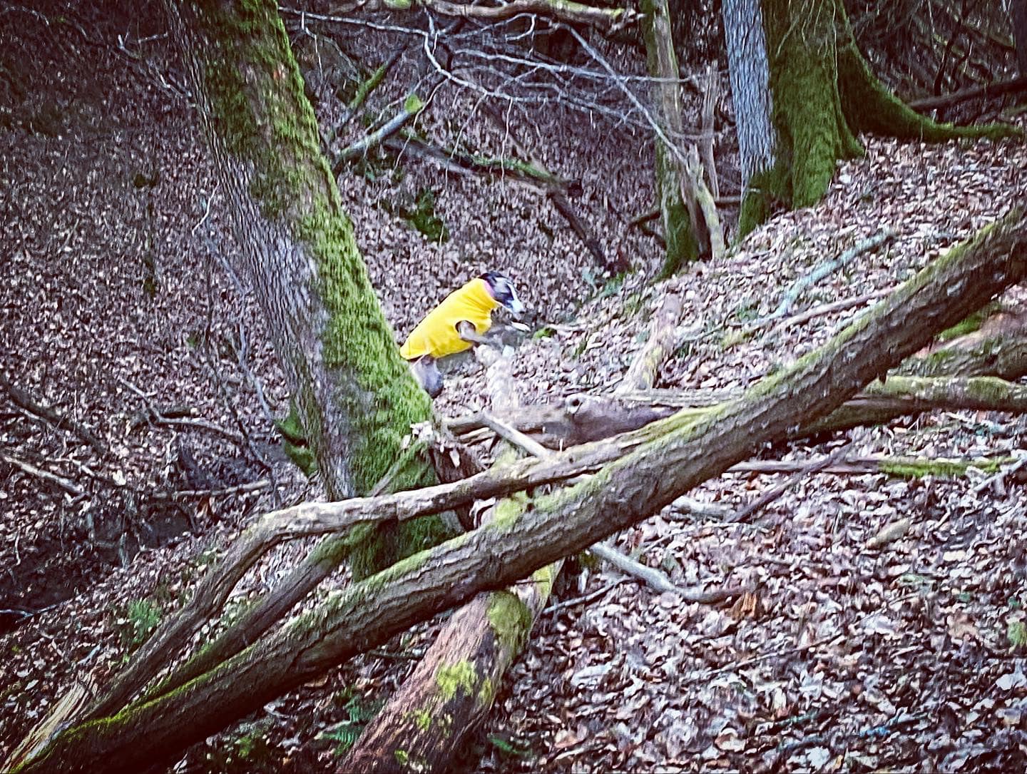
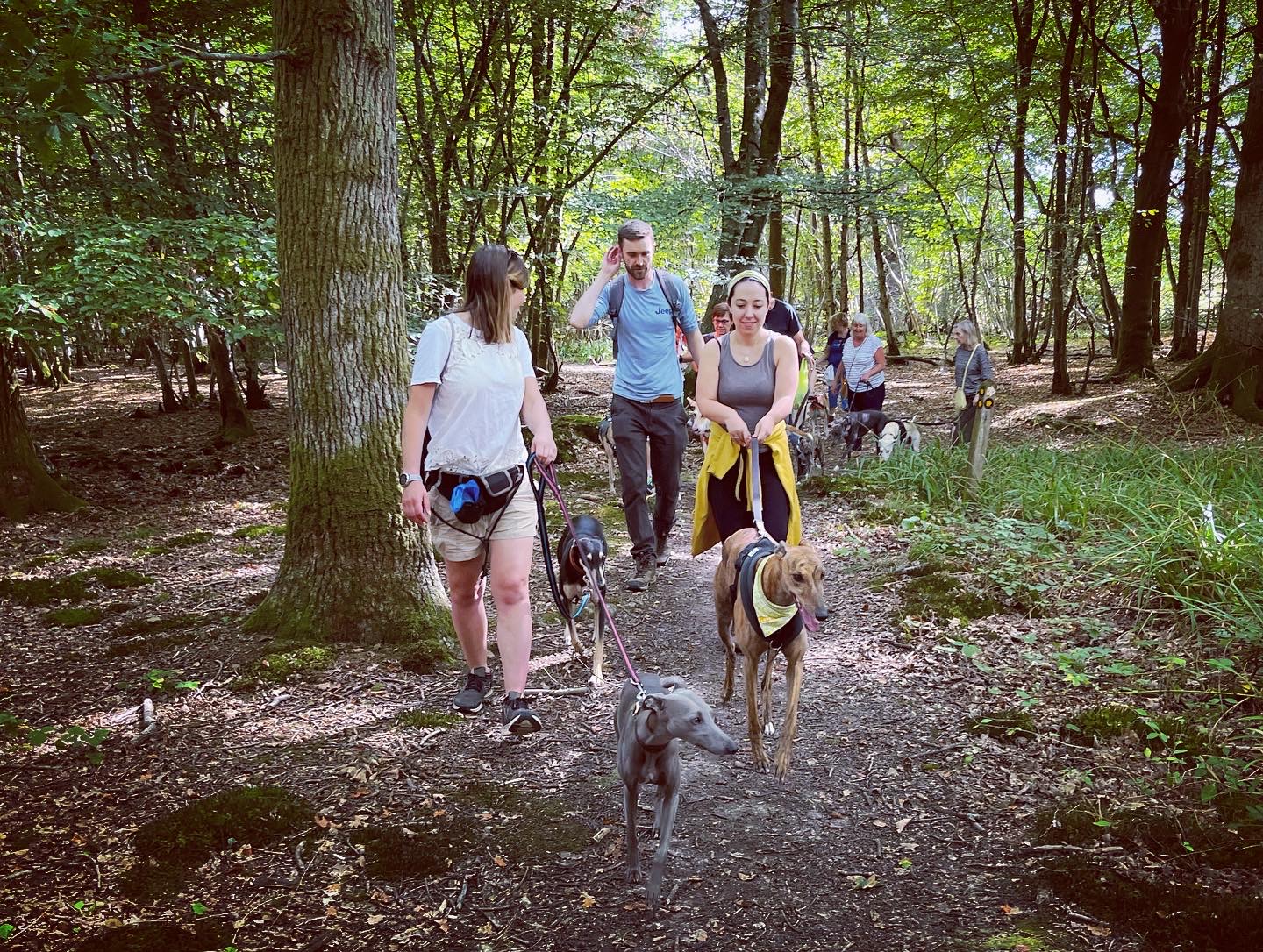
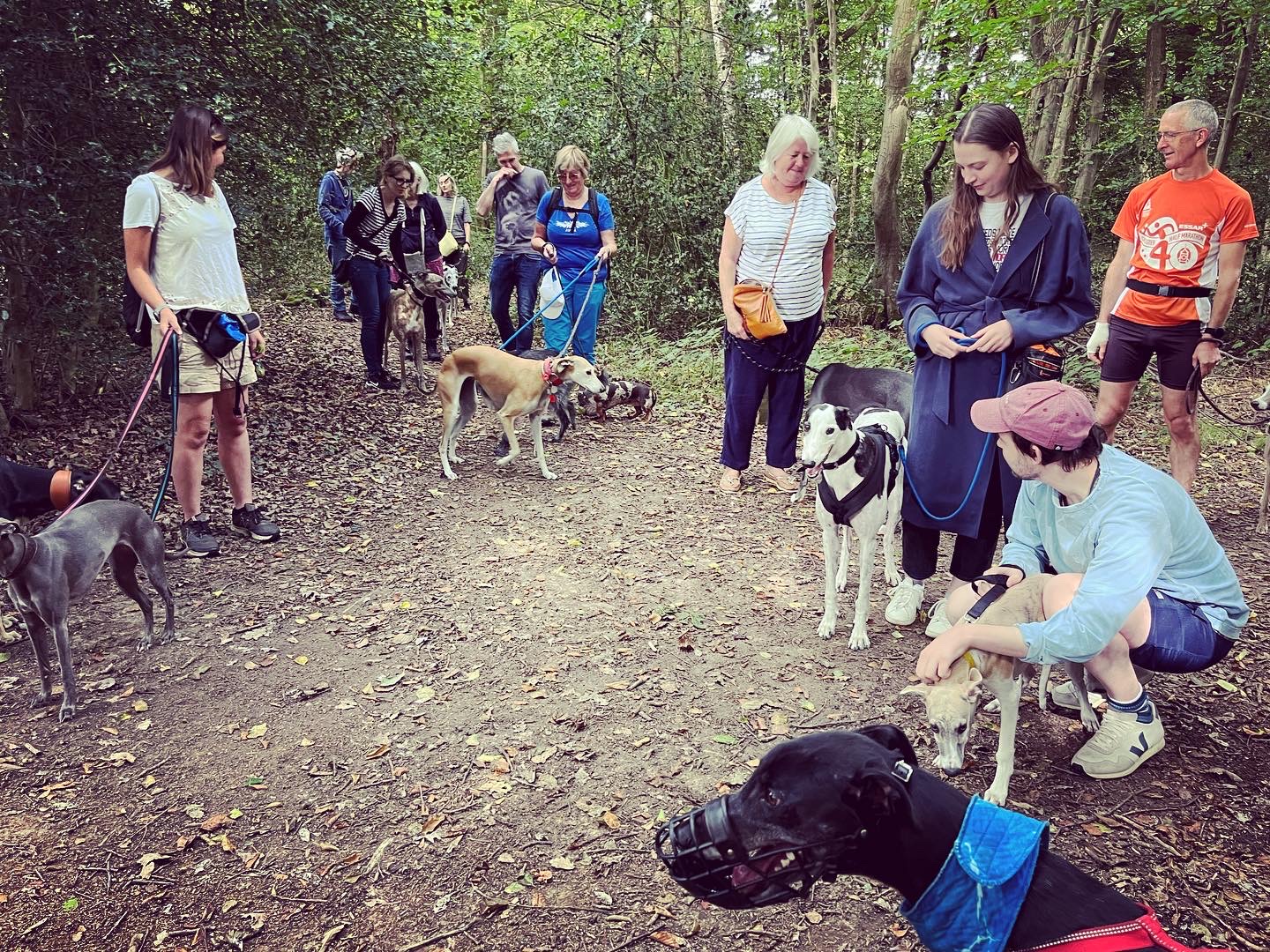
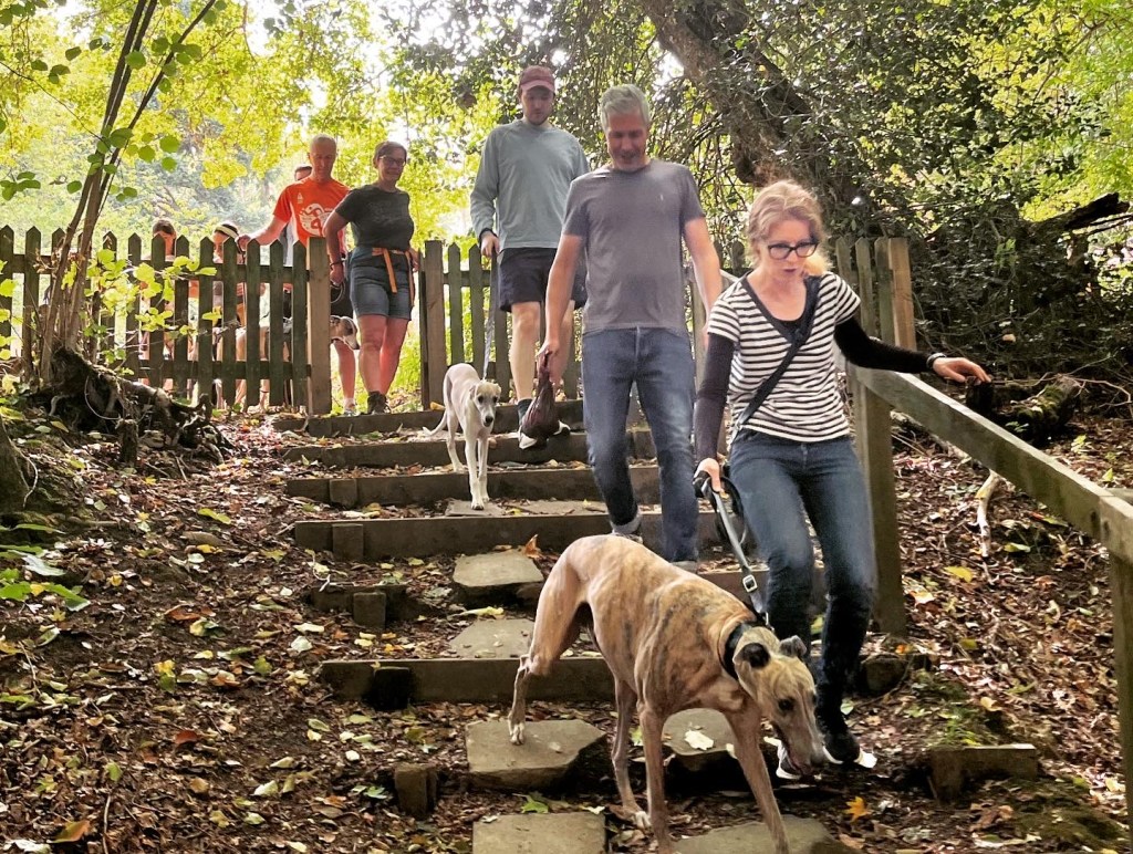
Gallery: What’s it like here?


Poo bins?
None, please take waste home.
Self-guided walk
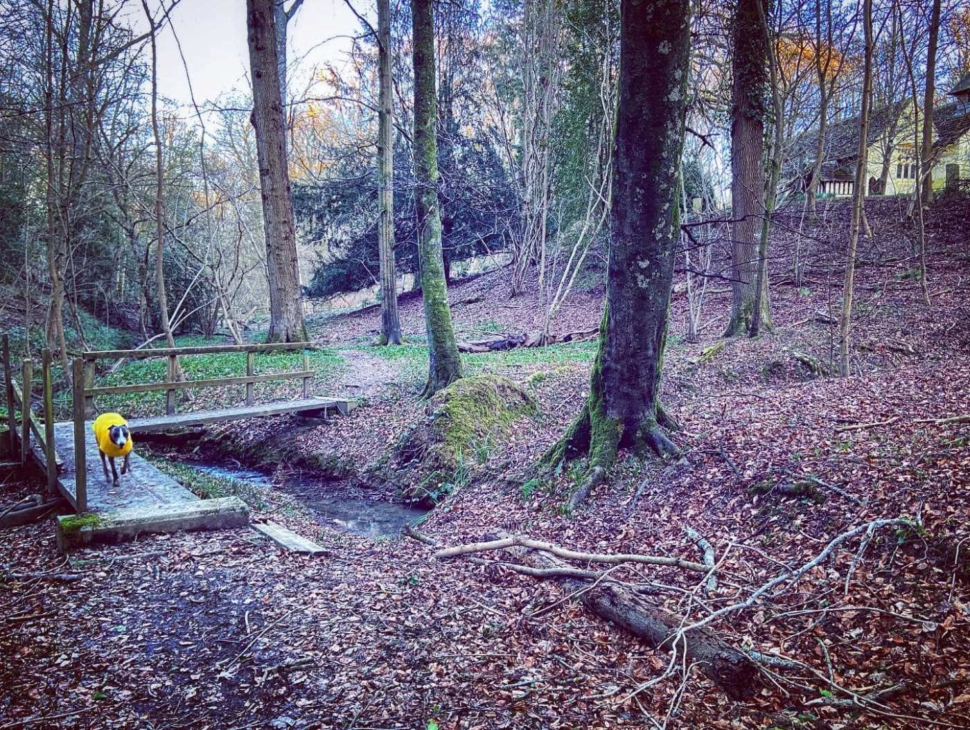
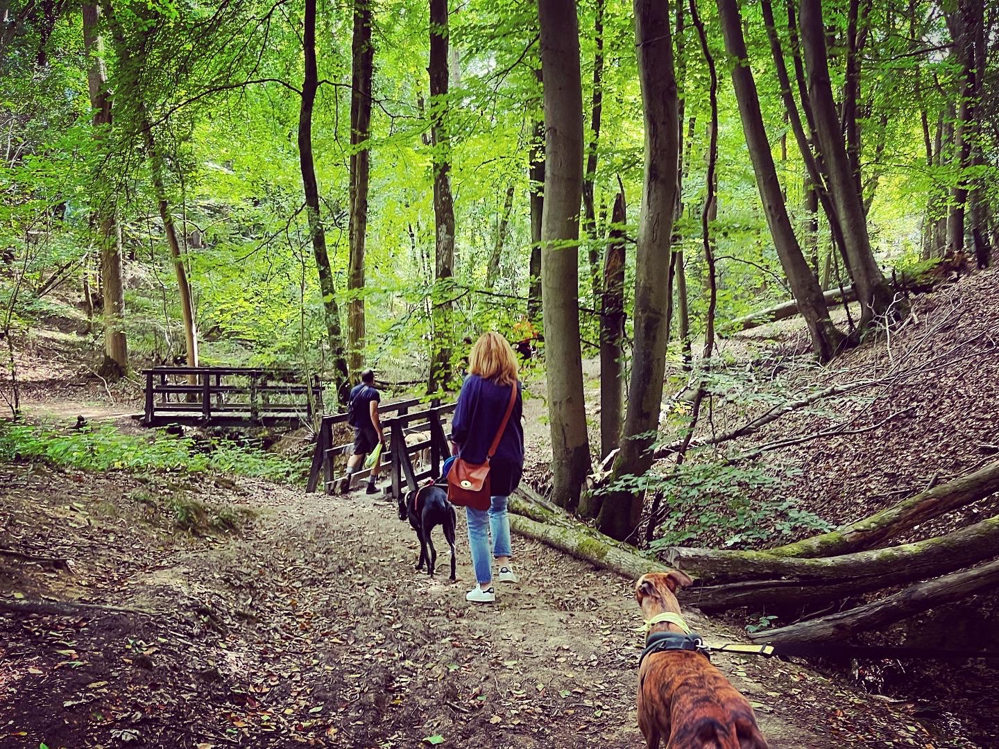
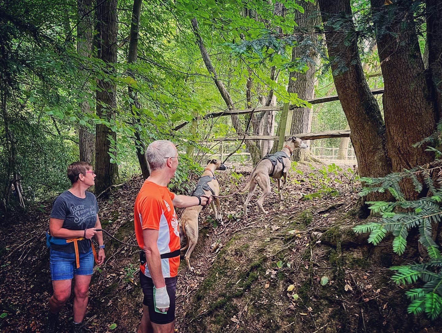
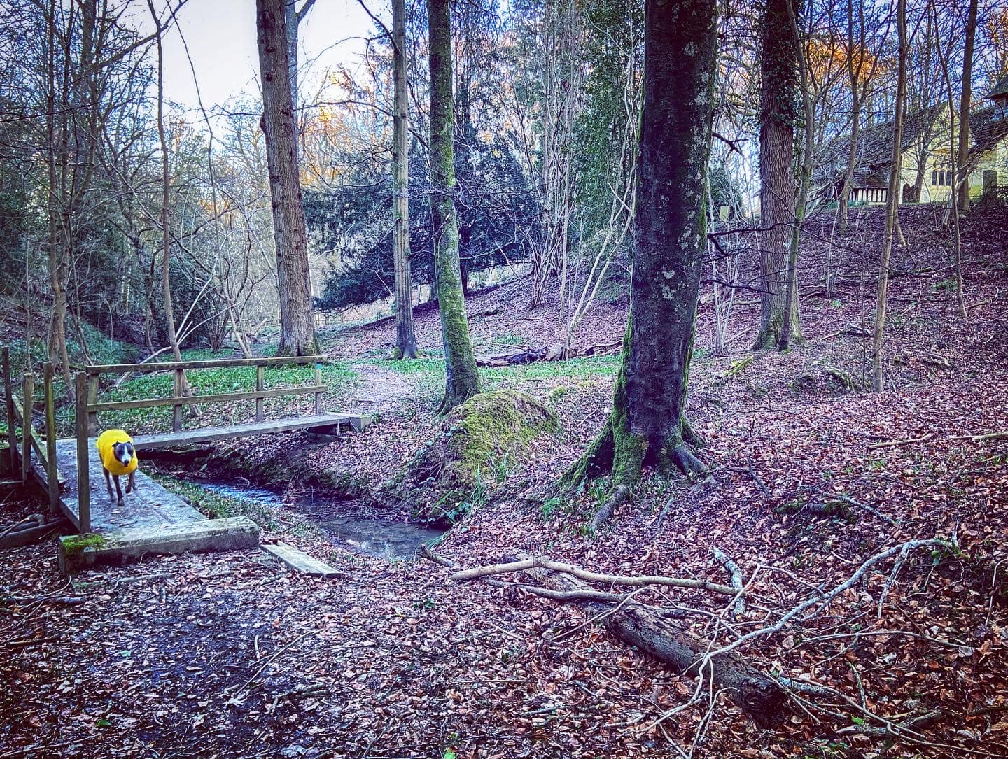
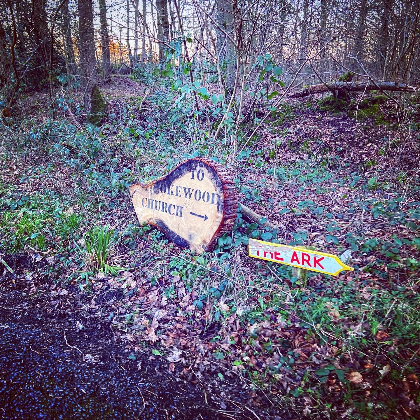
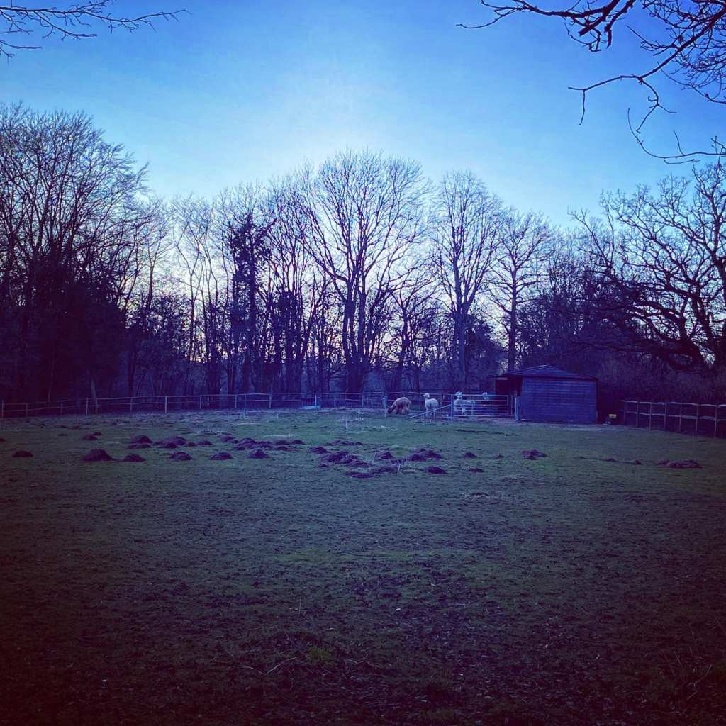
Here is a Footpath app route from the car park outside the Walliswood village hall and opposite The Scarlett Arms pub. Also on AllTrails. A relatively short walk, it takes you through a couple of small woodlands – Kiln Copse and Chapel Copse – to Okewood Church of St John the Baptist and back again. You’ll walk alongside a small stream, cross wooden bridges, pass a wishing well and, if they’re out in their fields, see alpacas.
Length: approximately 2.1 miles/3.4 km
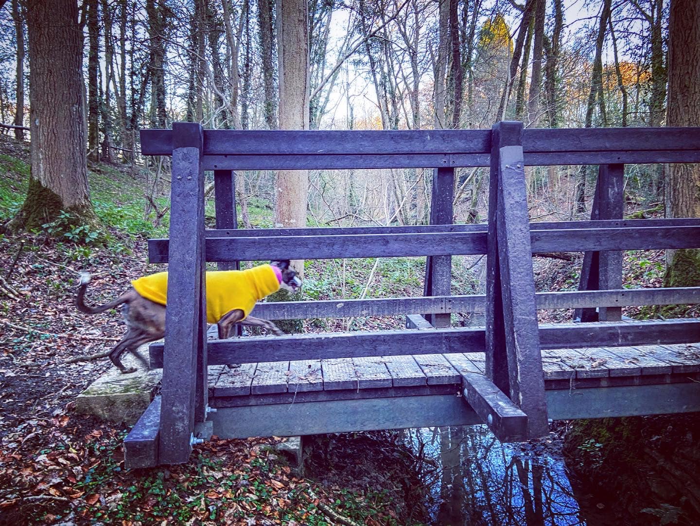
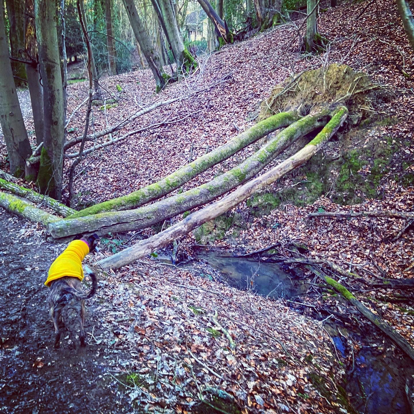
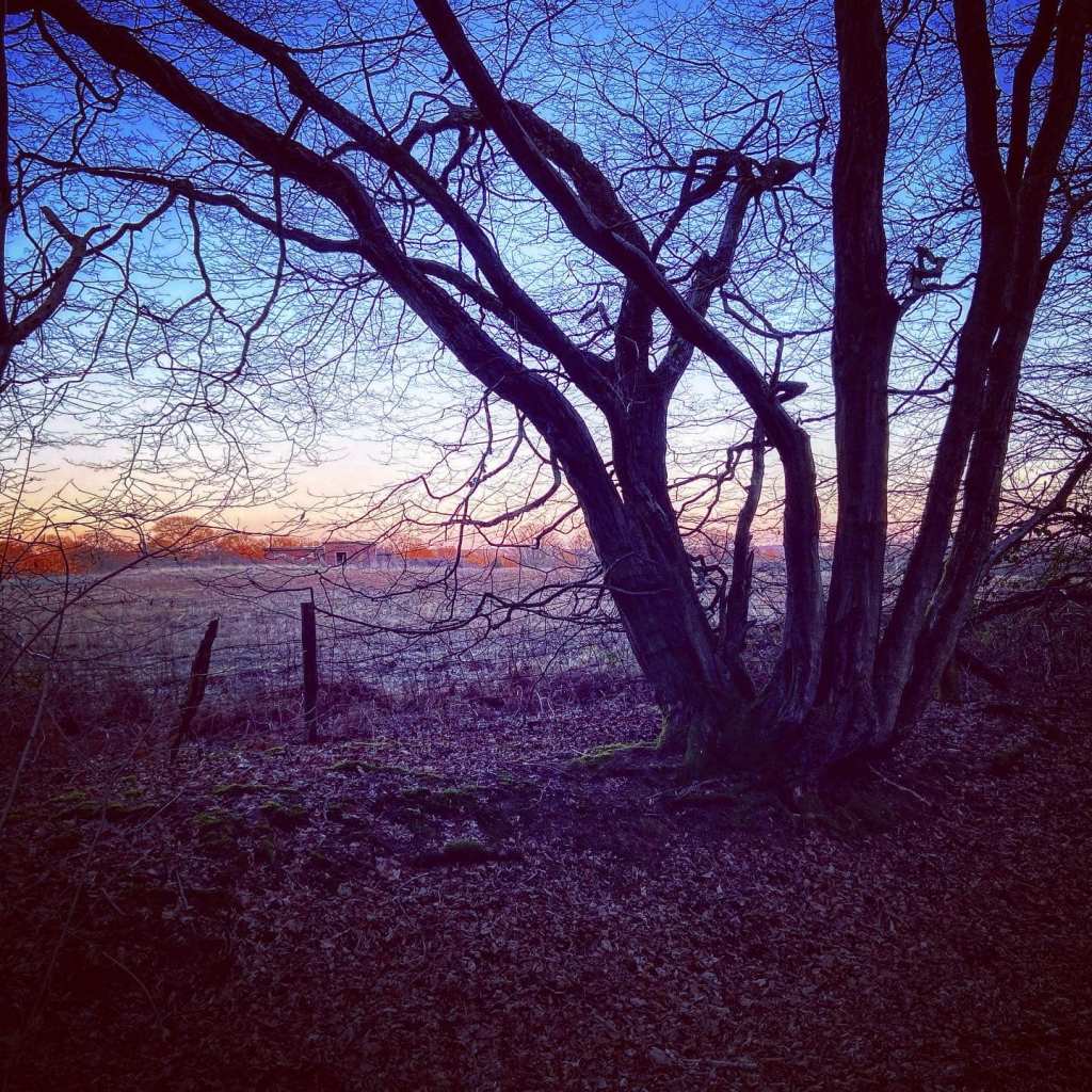
Terrain: Largely flat and mostly on mud paths through woodland, which can be muddy in places. You’ll cross a number of little wooden bridges but all are sturdy. There is a set of steps to go down, but in good order. At the start and end of the walk, you cross Horsham Road between the car park and footpath, and there is a short stretch a little over halfway round that is on quiet lanes.
Stiles/kissing gates? No stiles, no kissing gates

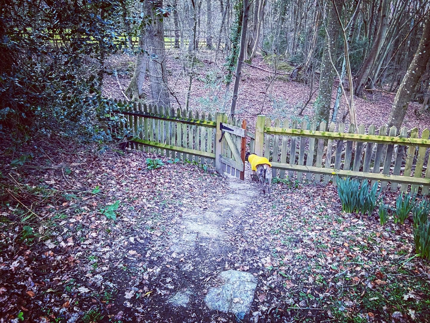
Face The Scarlett Arms and behind you will be the village hall (apparently “an ideal venue for any occasion, including parties, groups or community events”, boasting full fibre optic Wi-Fi, no less). Cross Horsham Road from the car park and go through a small gate in front of a narrow footpath down the side of a private property.

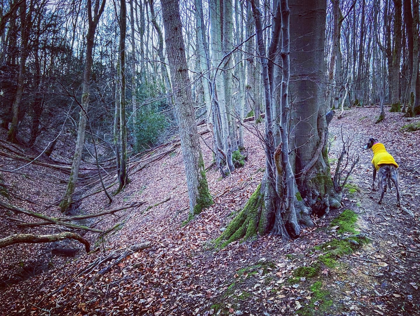
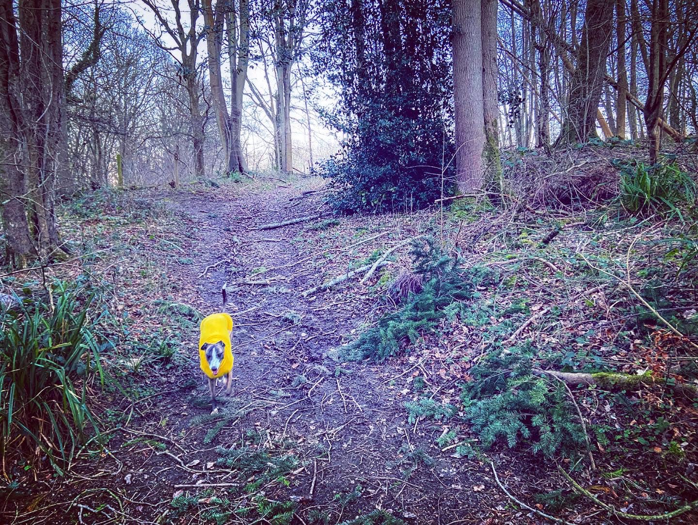
At the end of this first stretch, it bends to the left and goes along the bottom of gardens, bringing you to a four pronged fingerpost, where you continue straight. Go straight over at the next cross paths by a marker with yellow arrow, and walk through these woods with grey railings to your right.
You’ll head towards a vehicle gate – bear round to the left here and the path will be flanked on both sides by wire fences, which end after a short way. Just continue following this quite wide path ahead. You’ll notice that the ground dips sharply down on your right to a stream.
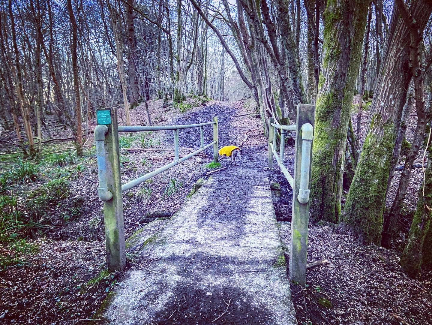
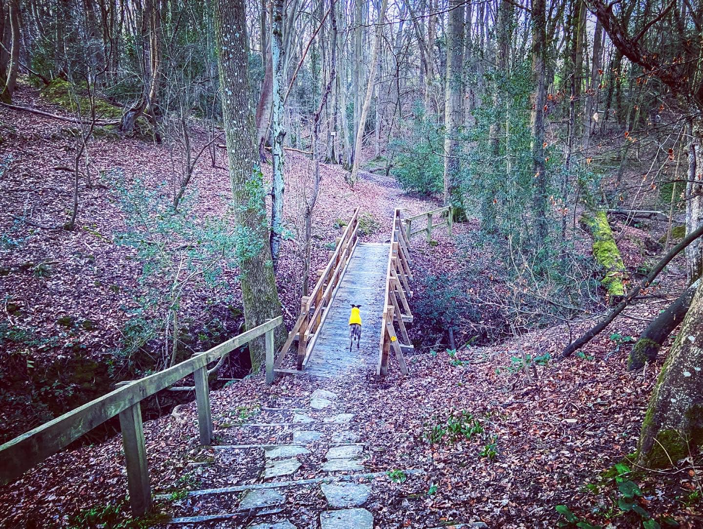
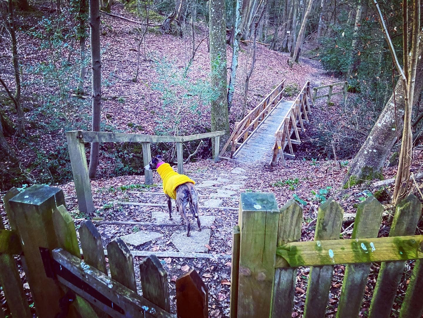
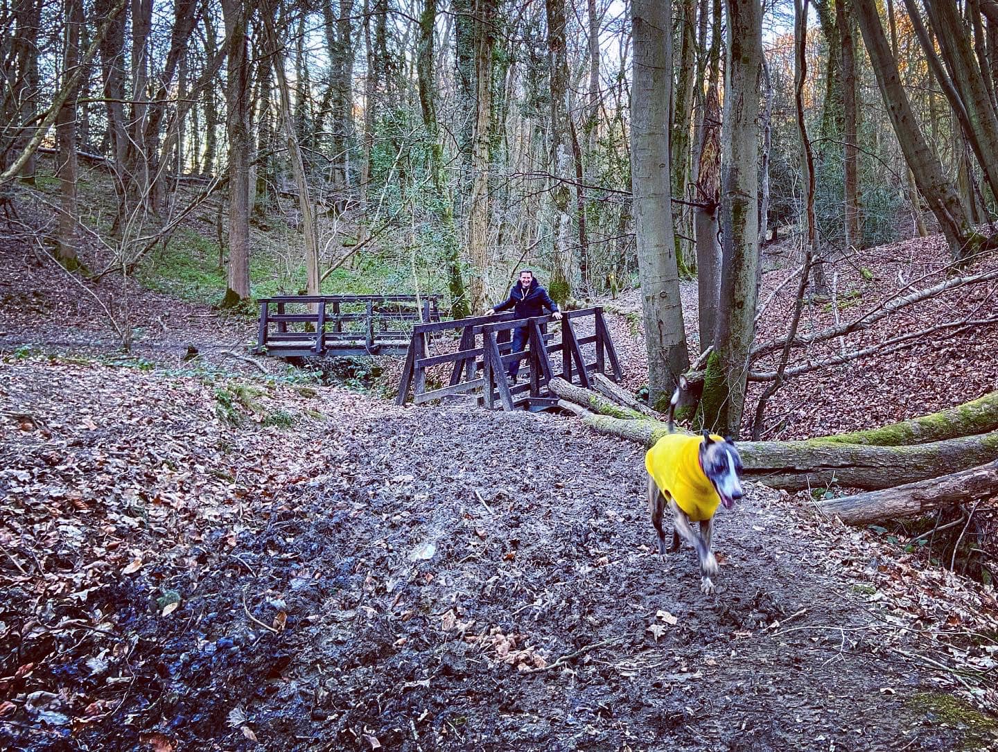
Presently the path curves gently right and down slope slightly to a little wooden bridge. Cross this and go straight ahead, ignoring another bridge immediately to the left.
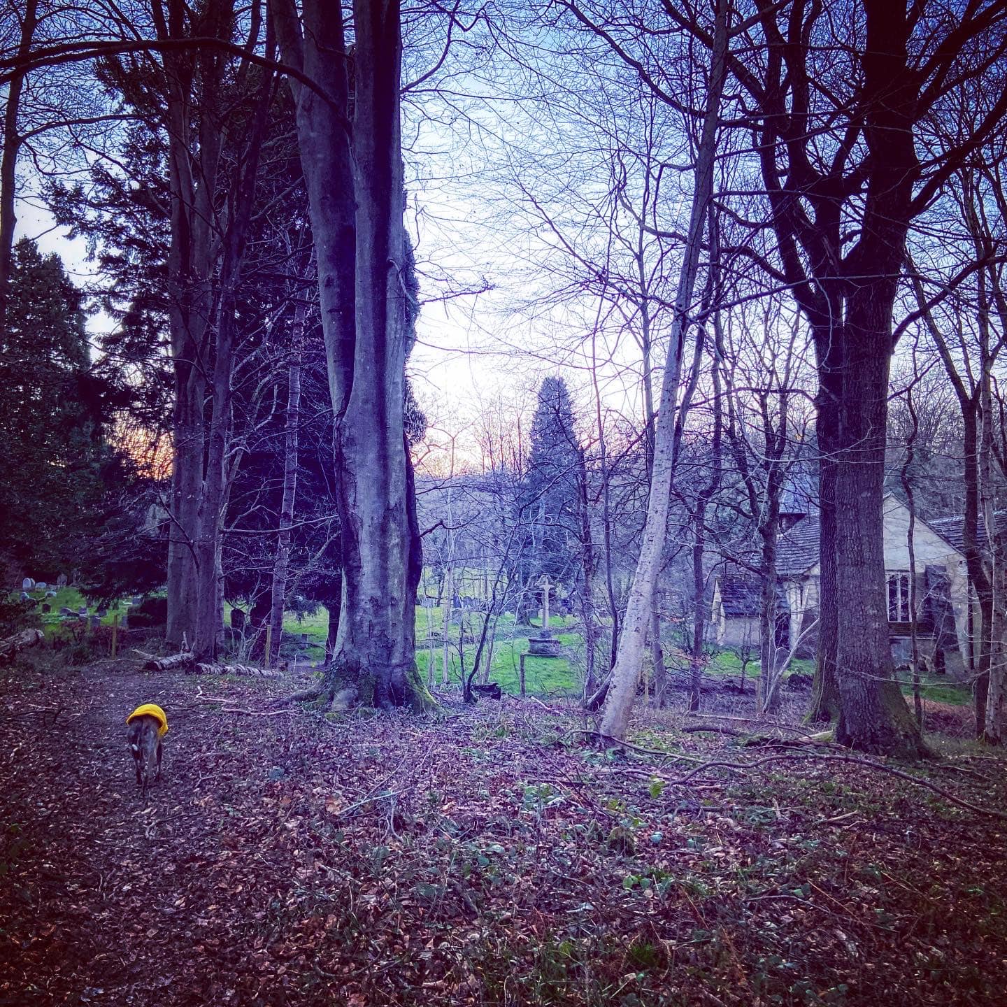
After a few steps, the path forks and if you look up to the right, you’ll see the church – but take the left fork towards two plank bridges that make a corner. The way here is edged on the left by a stream and brings you down to the lane. It’s a really quiet lane but you may want to put any off lead dogs on lead now.

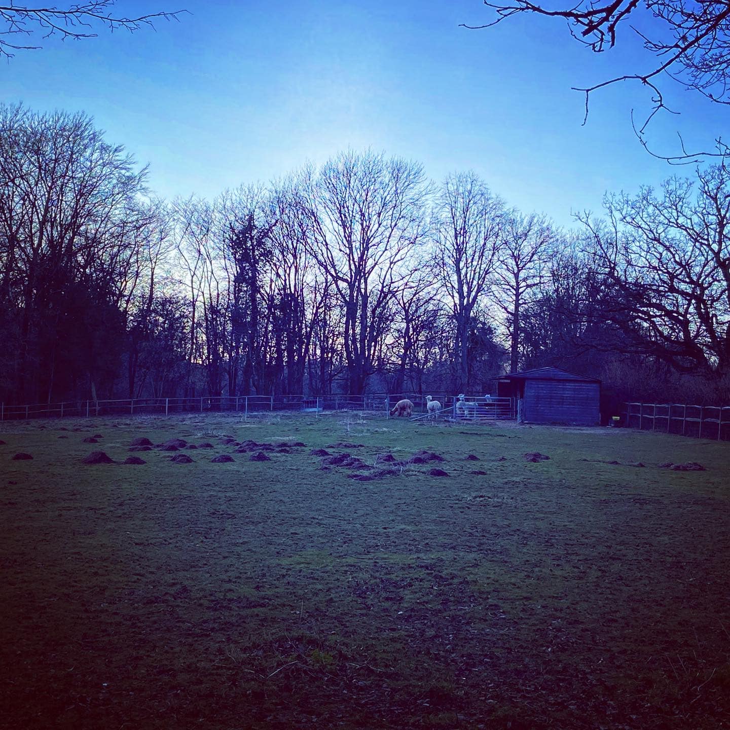
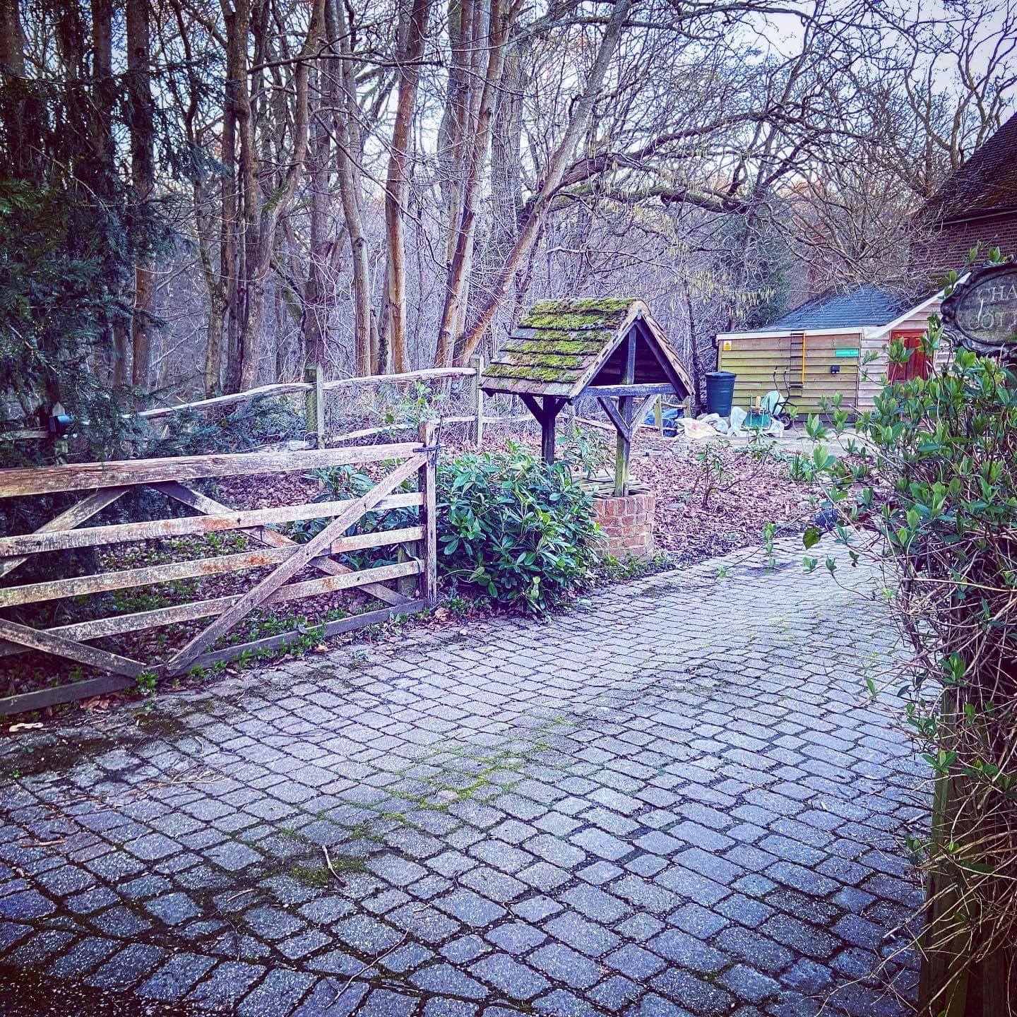
Turn left onto the lane and follow it uphill, passing a house on the right – the field opposite may have alpacas in it. Pass a driveway on left and then the next driveway on the right (for Chapel Cottage) has a cute little wishing well. There may be more alpacas in the next field on the left – and we saw some really majestic looking deer when we came here (Jett didn’t, but she was on the lead anyway, thankfully).
If your dog isn’t on lead by now, do put them on as this lane brings you down to the slightly busier Standon Lane – it isn’t a busy lane by any means, but there is a greater chance of traffic. Here, turn right, passing a sign for the church. Walk a few paces along Standon Lane and then take the footpath off to the right, which goes back into the woods – this is Chapel Copse.
Looking through the fields to the left, you’ll see a derelict building, which is apparently a disused radar station. I couldn’t find out anything about it so no idea if it was constructed for war purposes, to monitor weather, or to hunt for E.T. Given that it can be a little eerie around here, I am going to assume it was used for top secret efforts to make contact with aliens.
Continue down slope to another bridge – cross this and go up the other side. At a marker post on the left of the path, head round to the right, and at the next marker post, take the right hand fork. The path ascends slightly through Church Copse then, at a point where there is a tree in the middle of the way, it starts descending again.
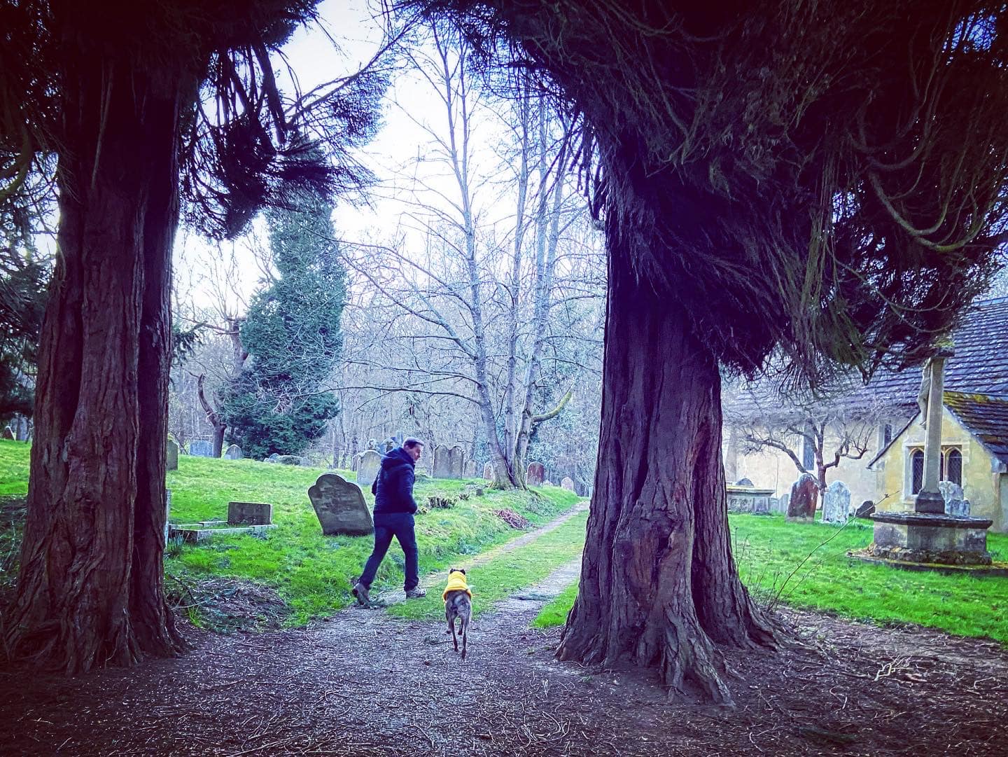
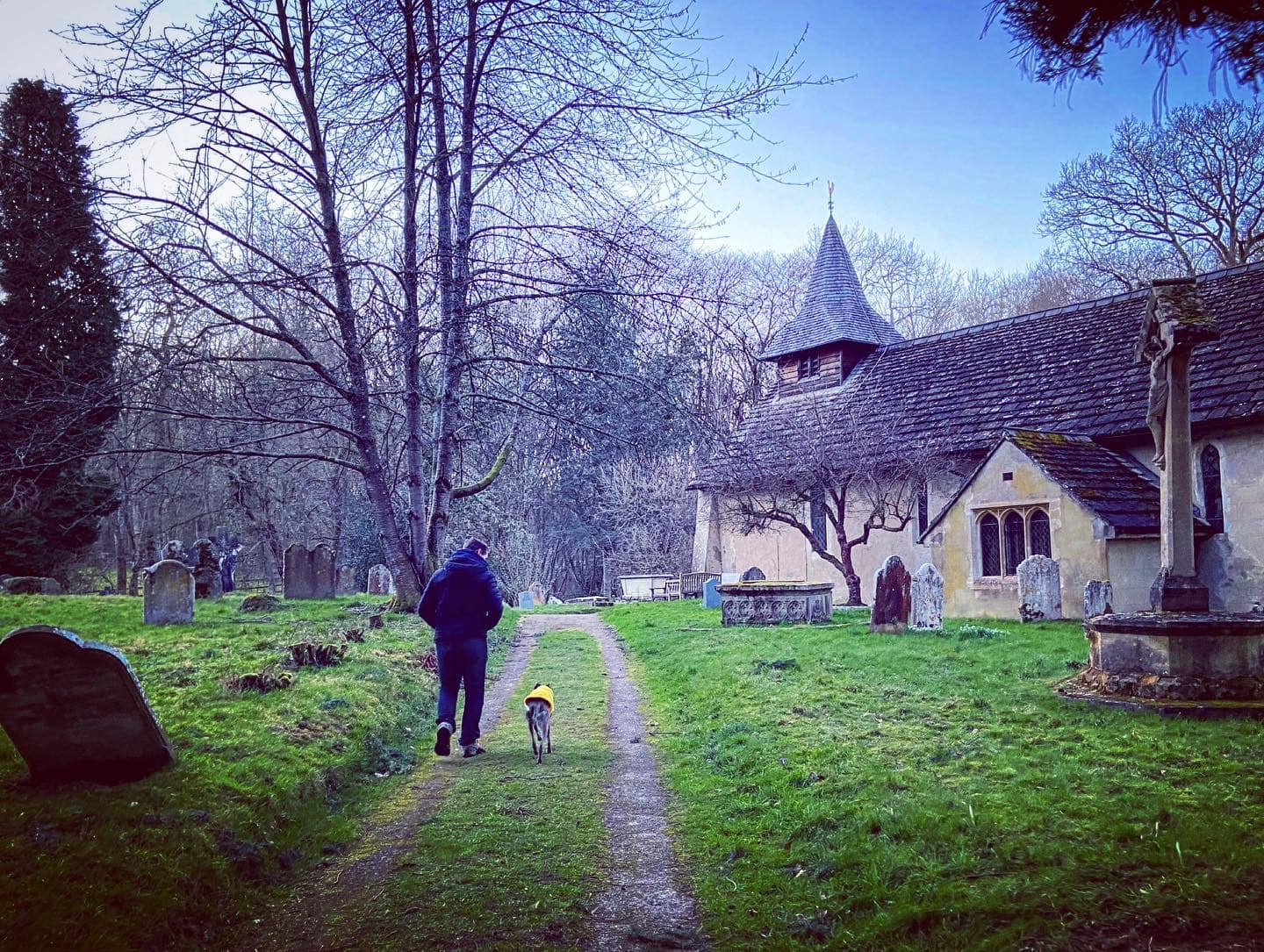
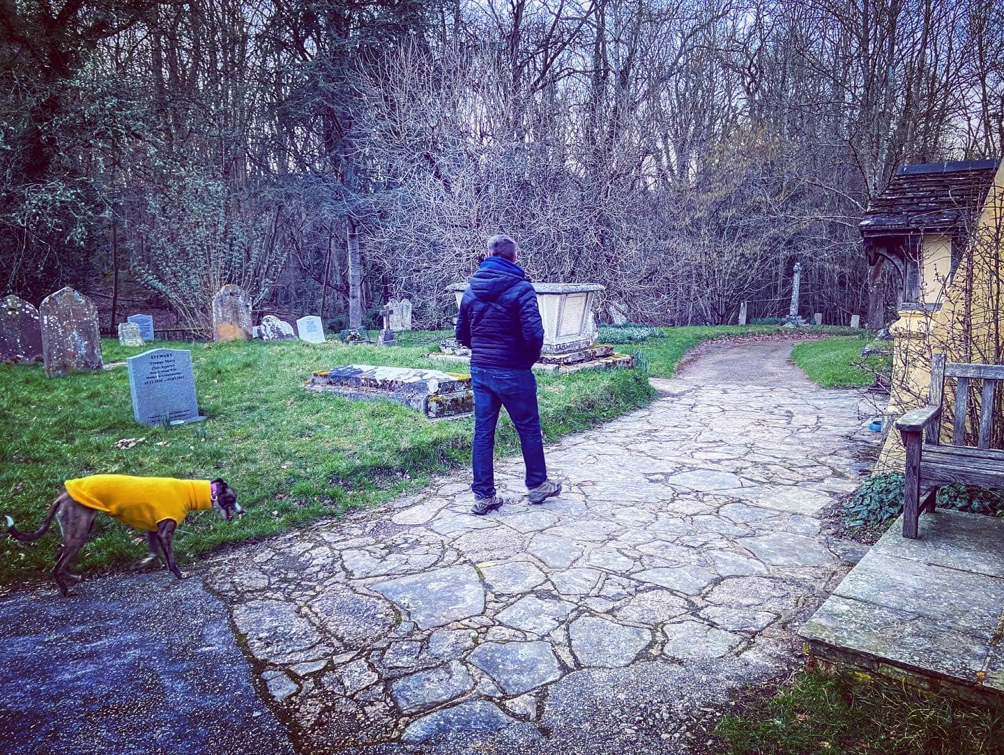
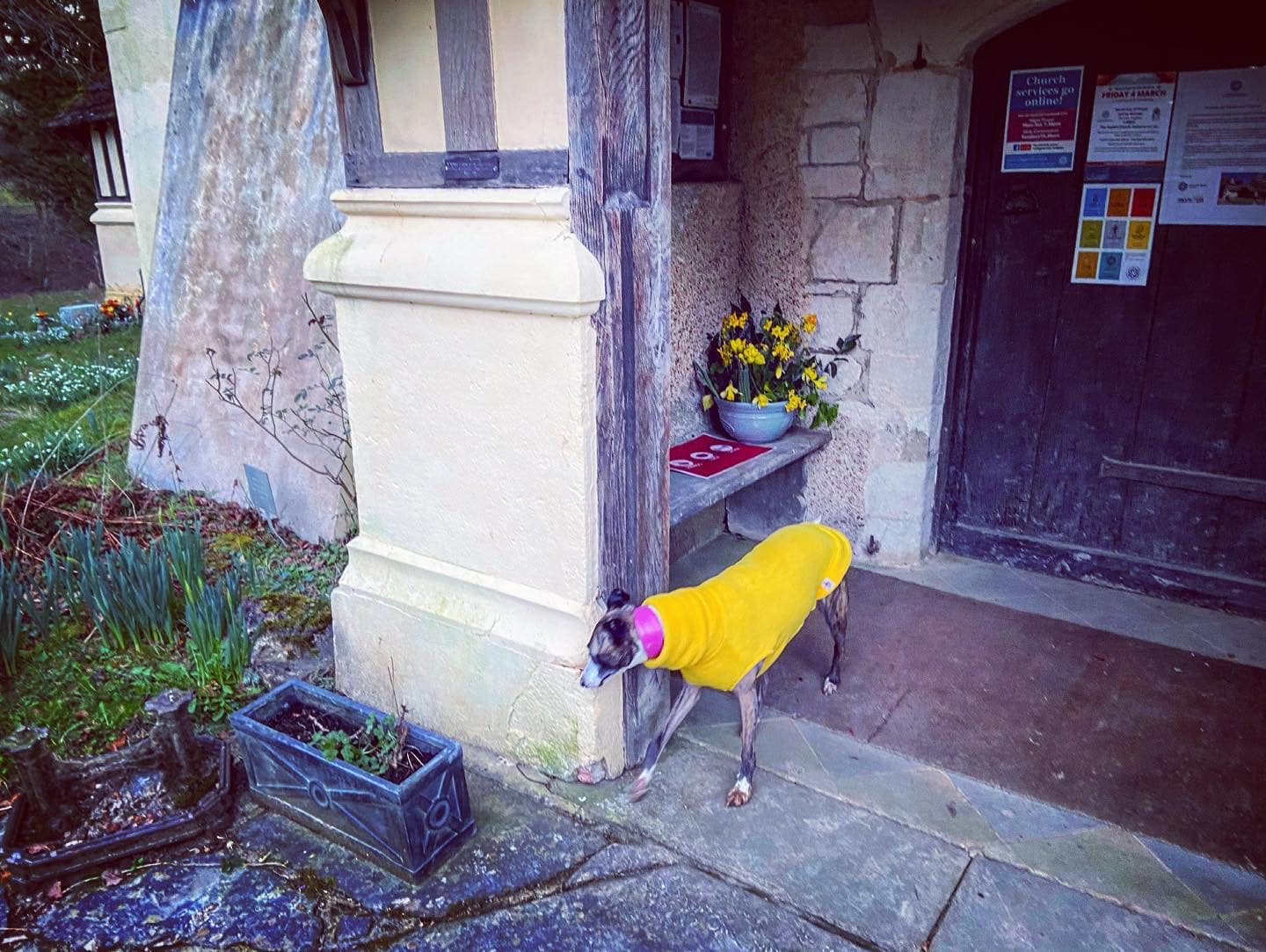
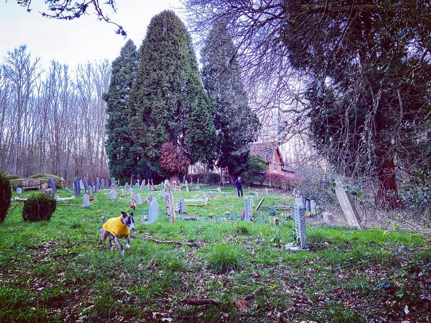
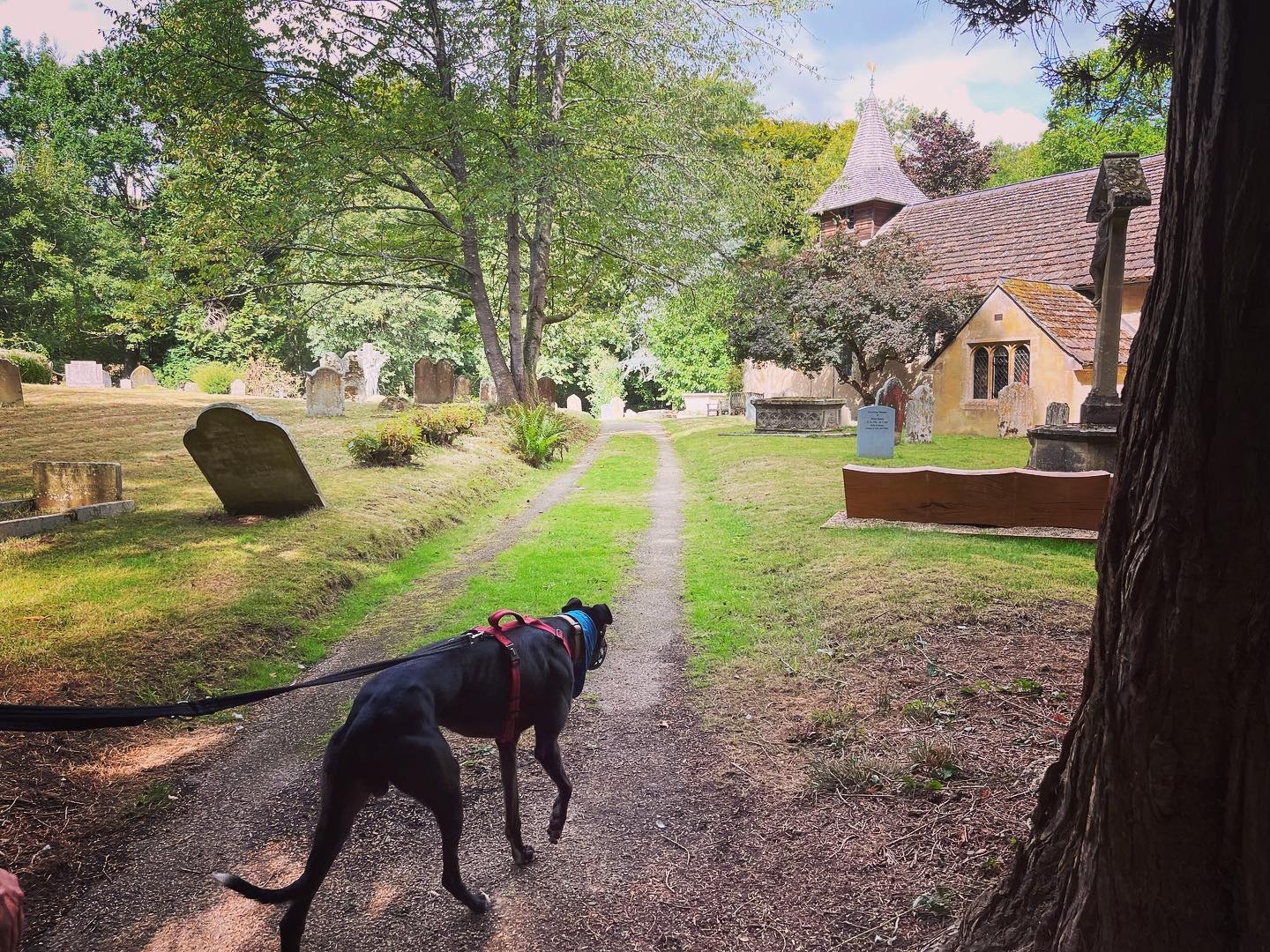
The church will come into view ahead and slightly to the right. Follow the path down to it, passing a marker post. Cross over the lane and continue straight ahead through the churchyard with the church on your right. Hug the building, and turn right at its corner, then left down a stepping stone path and through the little wooden gate. Take care as you go down the steps and over the bridge.

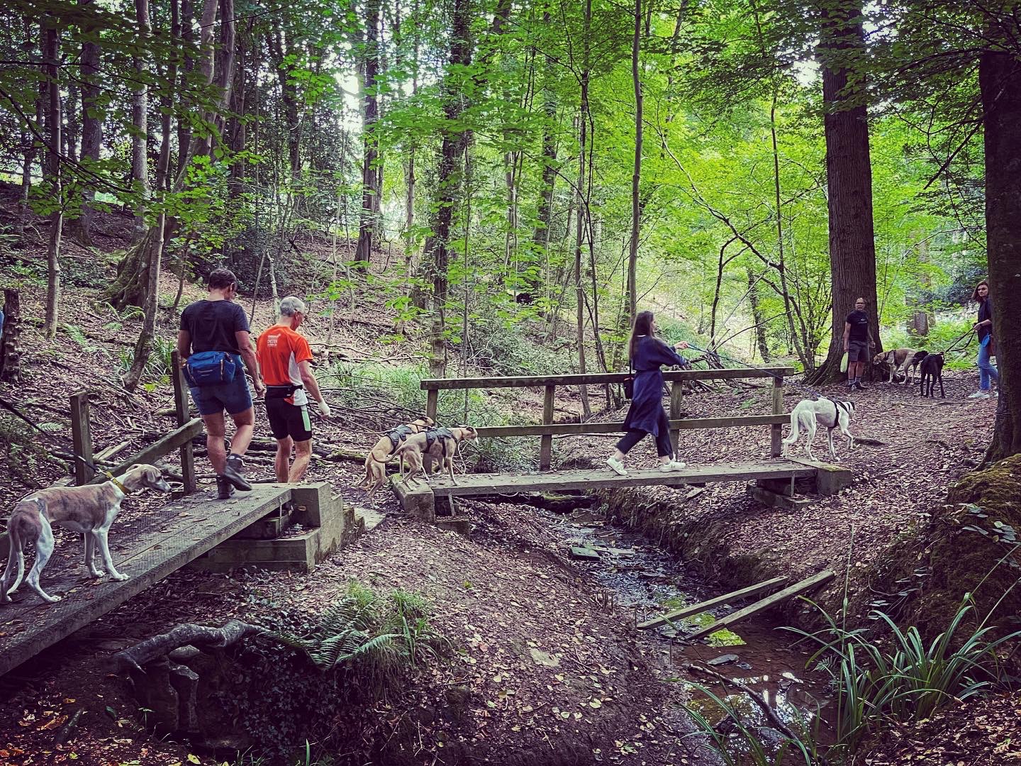
Continue straight to the junction and turn left to go to the two bridges (which you’ll recognise from earlier). Cross the bridge on the left and then follow this path back the way you came to the car park, going straight across at any crosspaths/junctions.
When you get back, why not team your walk with a drink or bite to eat at the dog-friendly pub? Its large garden is nice in the summer, and there are cosy fires inside during the colder months. It was named after the first Baron of Abinger, Sir James Scarlett, and originally built in 1620 as two cottages.

Leave a comment