
Page contents
About
Gallery
Parking
Poo bins?
Self-guided walk
About
Reigate Heath covers an area of about 60 hectares and is a local nature reserve, common and Site of Special Scientific Interest (SSSI). It is the largest area of heath in East Surrey and was bequeathed to the people of Reigate by Lady Henry Somerset when she died in 1921. Regarded as an important site because of its mosaic of lowland acid grassland and dry heath, Reigate Heath is a nationally rare habitat that supports a wide range of uncommon plants and invertebrates associated with free-draining, sandy soils.
Multiple ancient earth works discovered across the heath show that early man settled in the area at least 4,000 years ago, with a line of bowl barrows indicating that the pine wood was once a cemetery. Cheerful stuff.
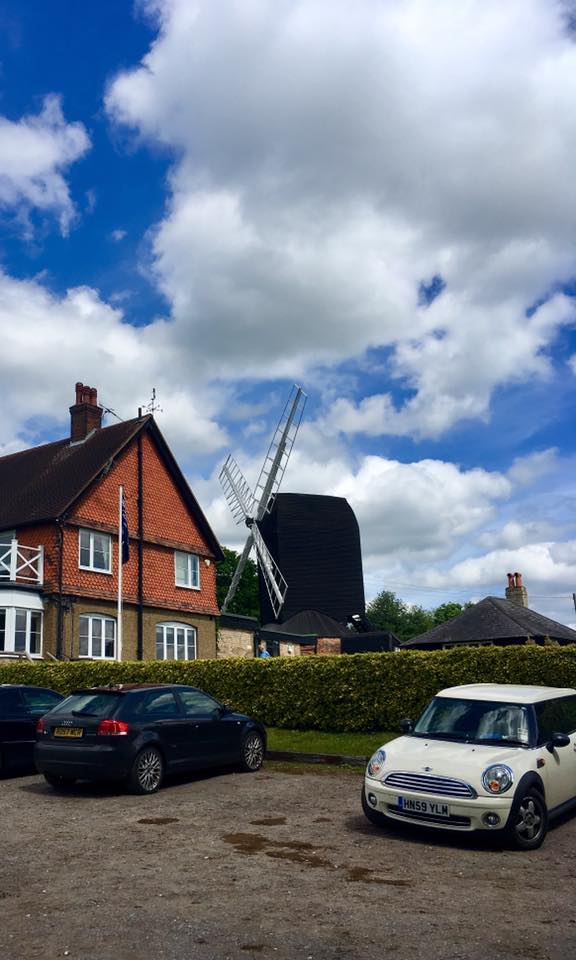
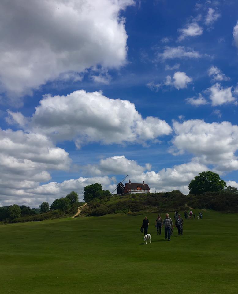
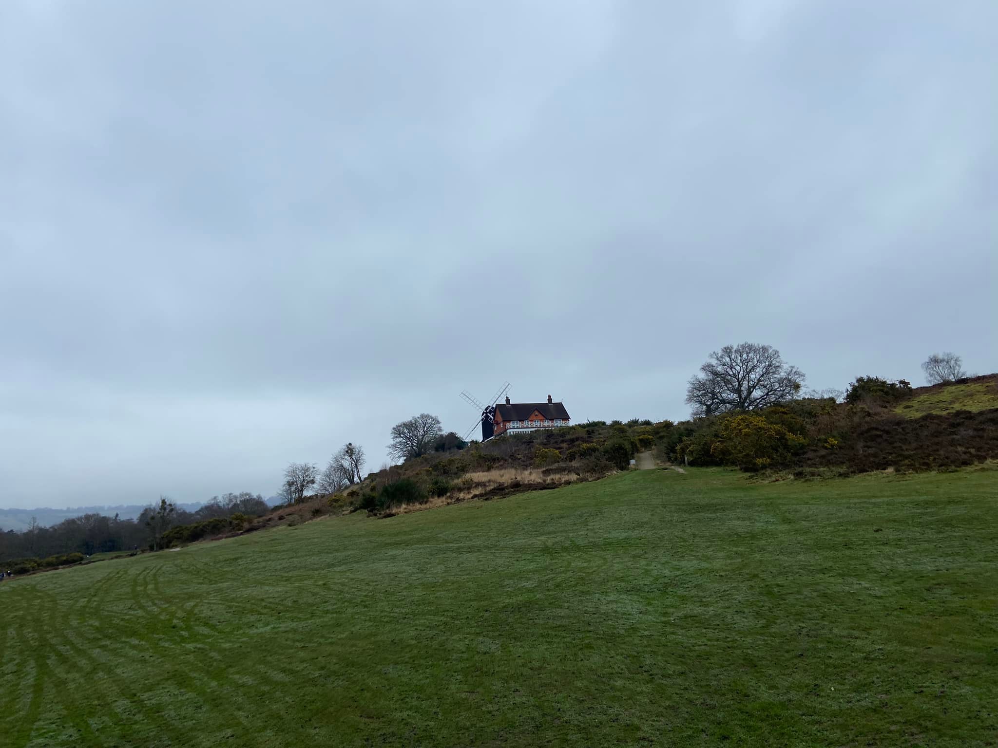
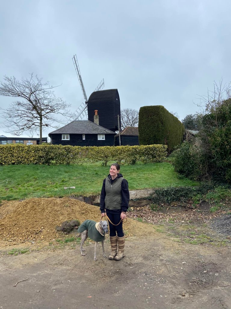
Reigate Heath windmill stands atop Galley Hill, so called because it was once the site of a gallows where highwaymen and other criminals were hanged. Cheerful stuff again. The windmill is a grade II listed post mill, which has been restored and is used as a chapel. It is thought to be the only windmill in the world which is a consecrated church. Built around 1765, it was last worked by wind in April 1862. That same year, it was purchased by Reigate Borough Council and restored with new sails. A church service was first held on 18 October 1964, and since May 1965, a service has been held on the third Sunday of each month during the summer.
In case it isn’t obvious as you walk around it, a large part of Reigate Heath is now a golf course. It was first constructed in 1895 and was apparently ranked sixth in the best 9-hole courses in the world by golf.com in 2020.
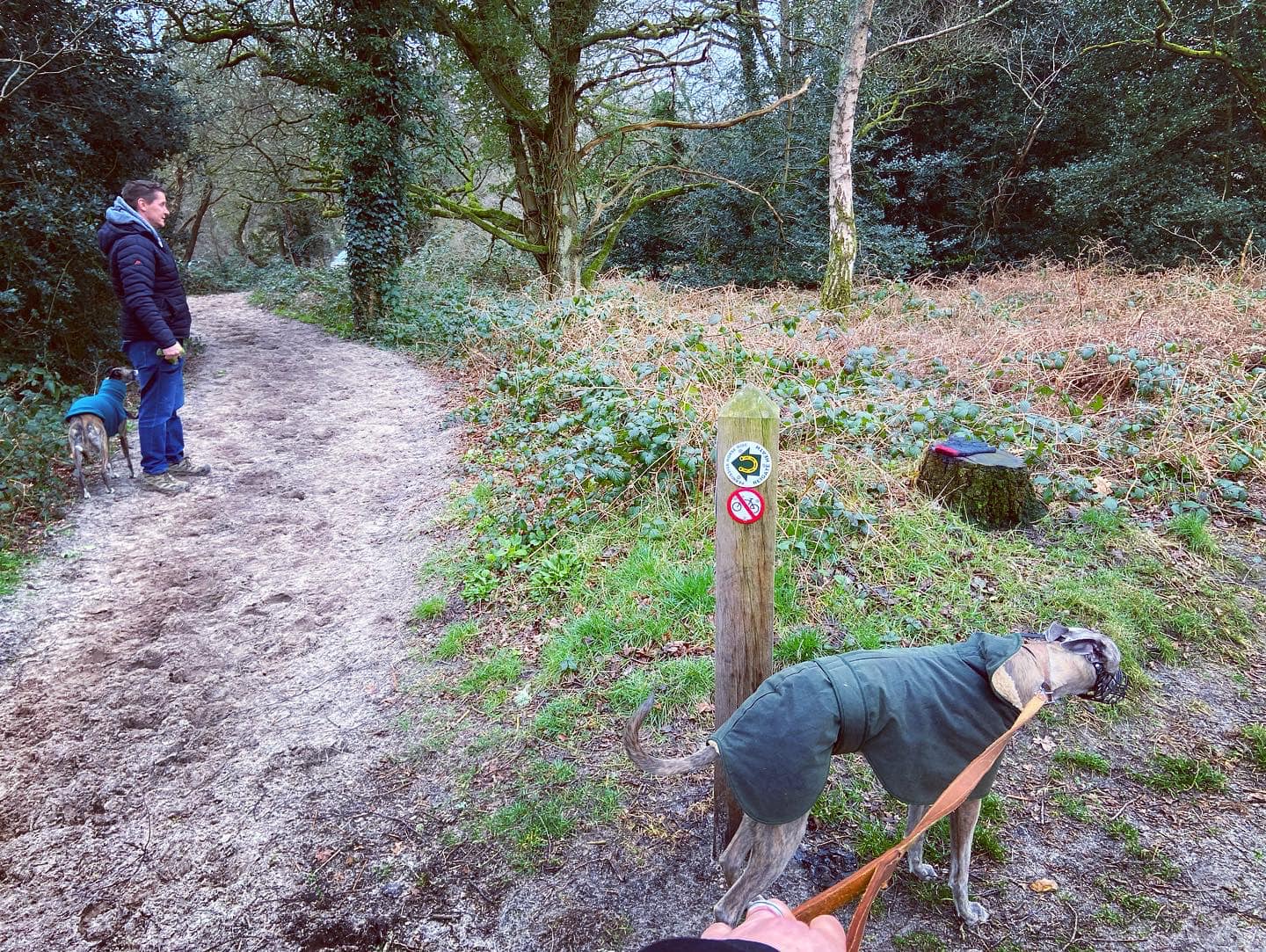
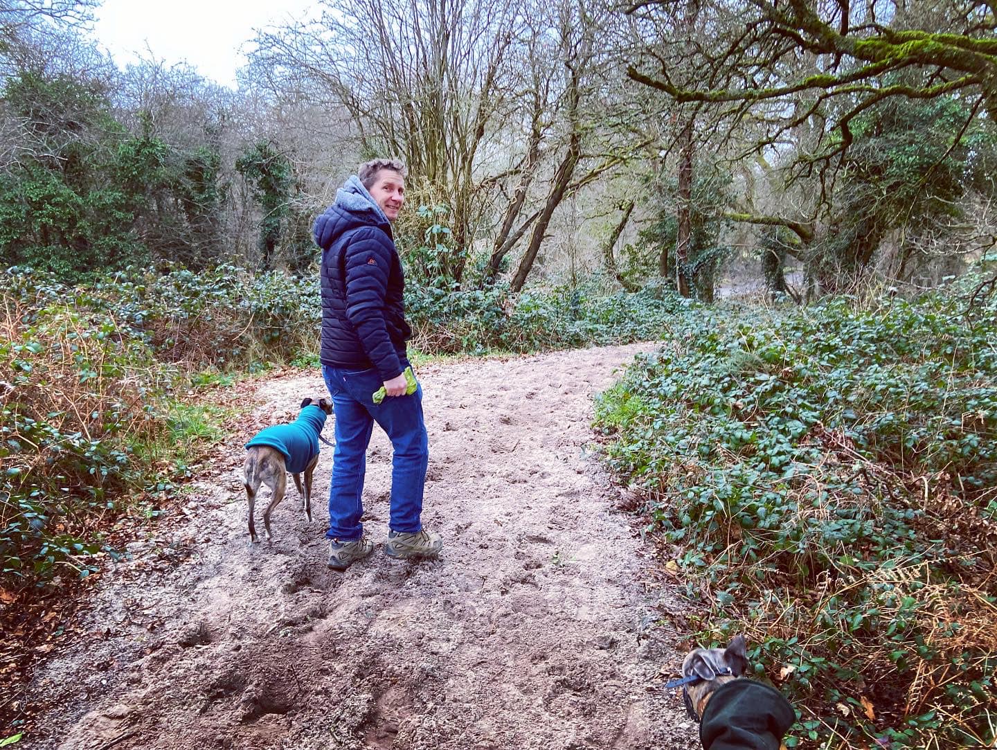
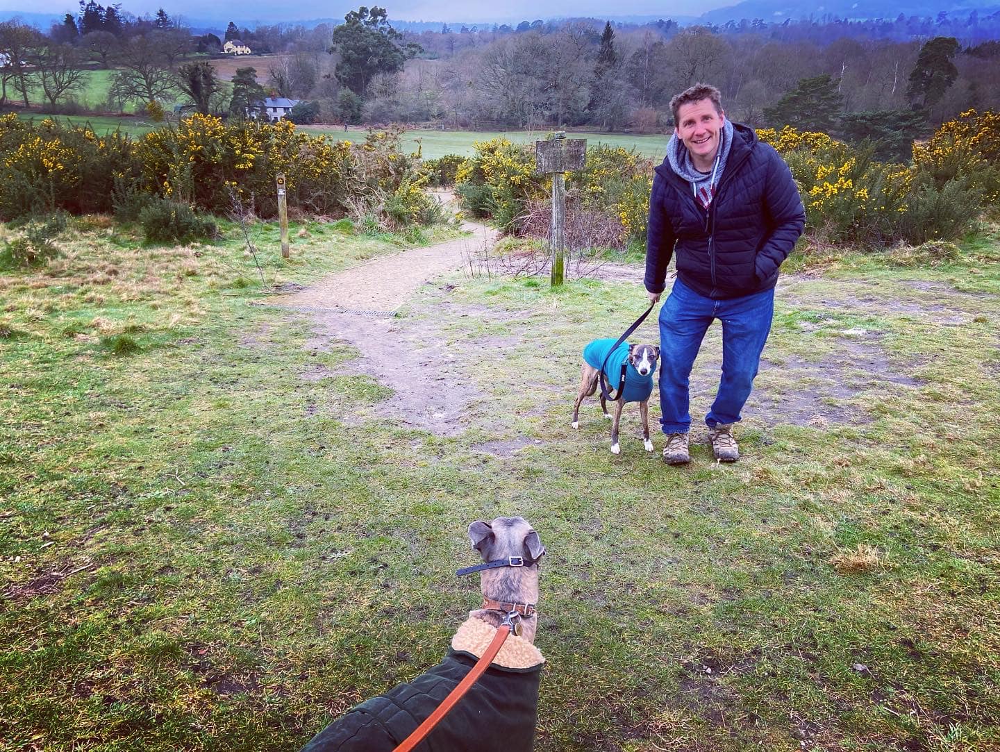
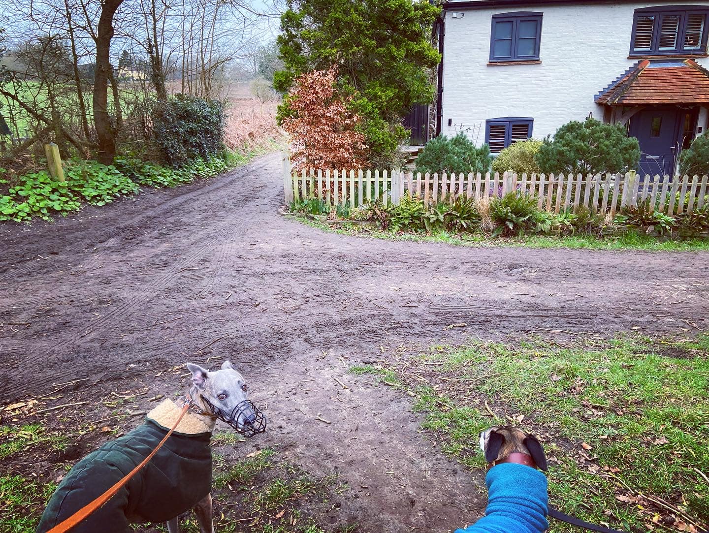
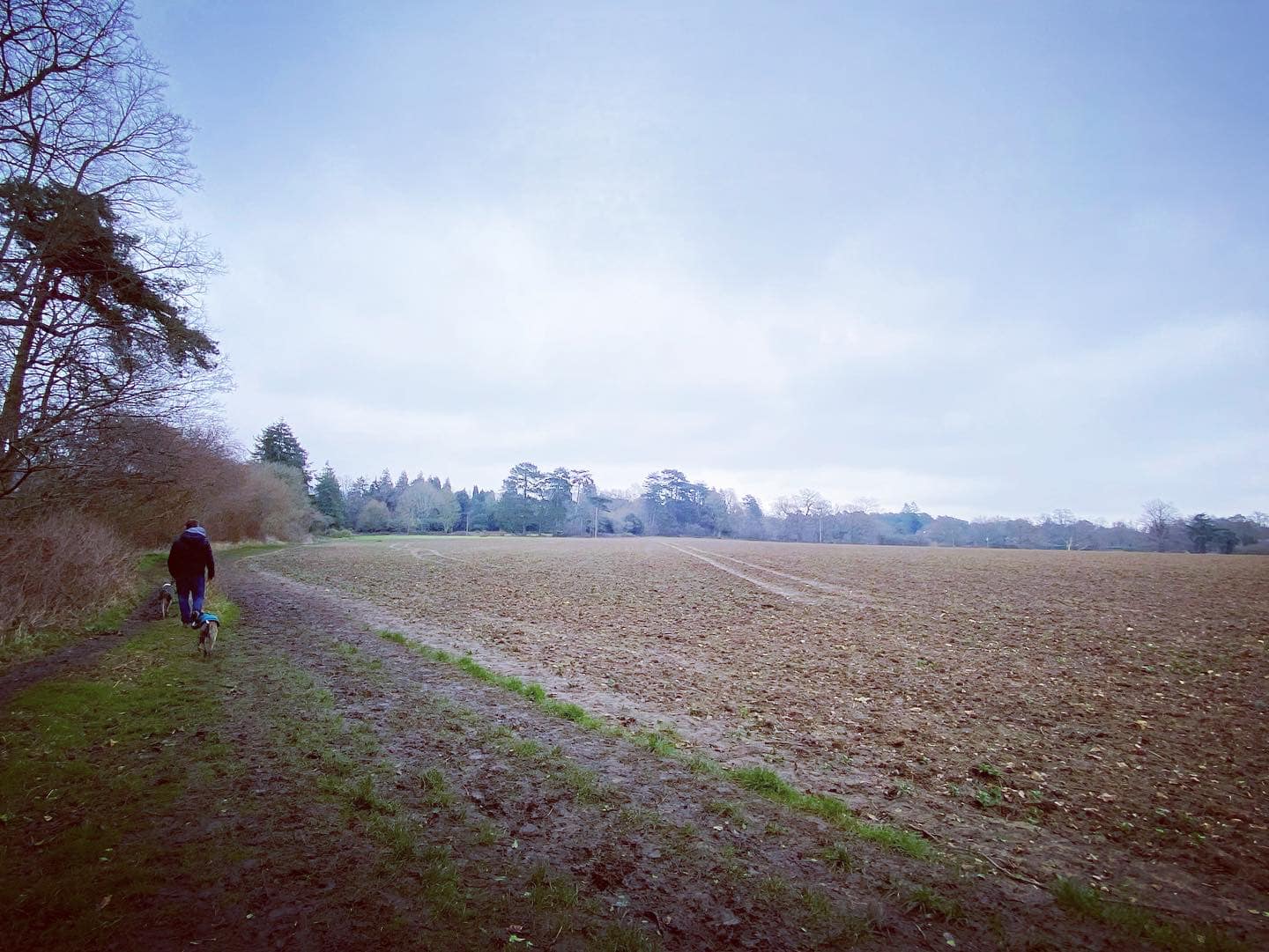
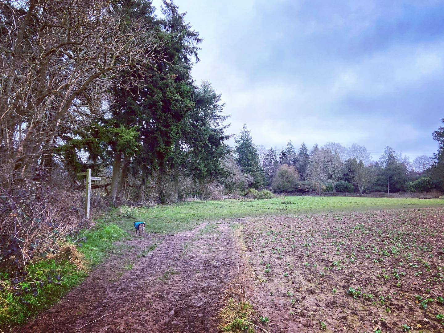
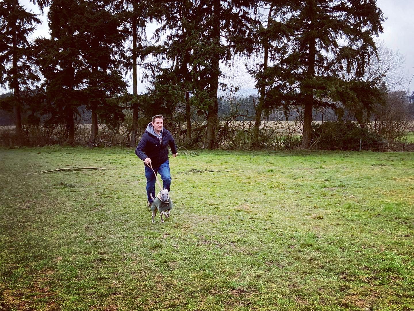
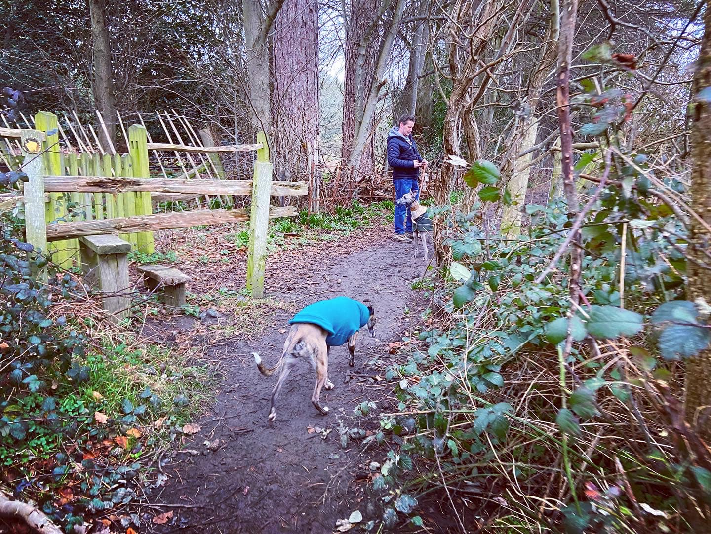
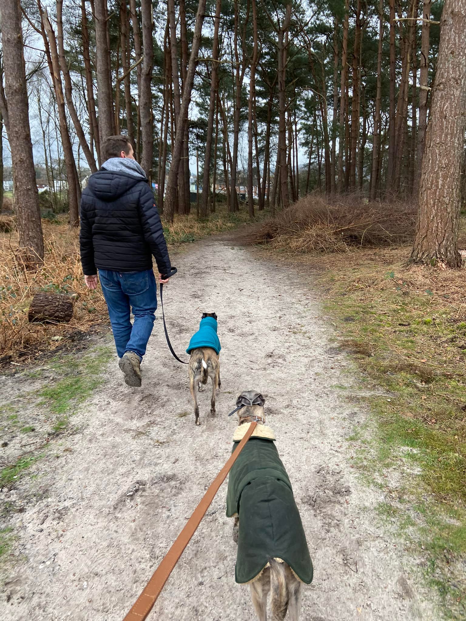
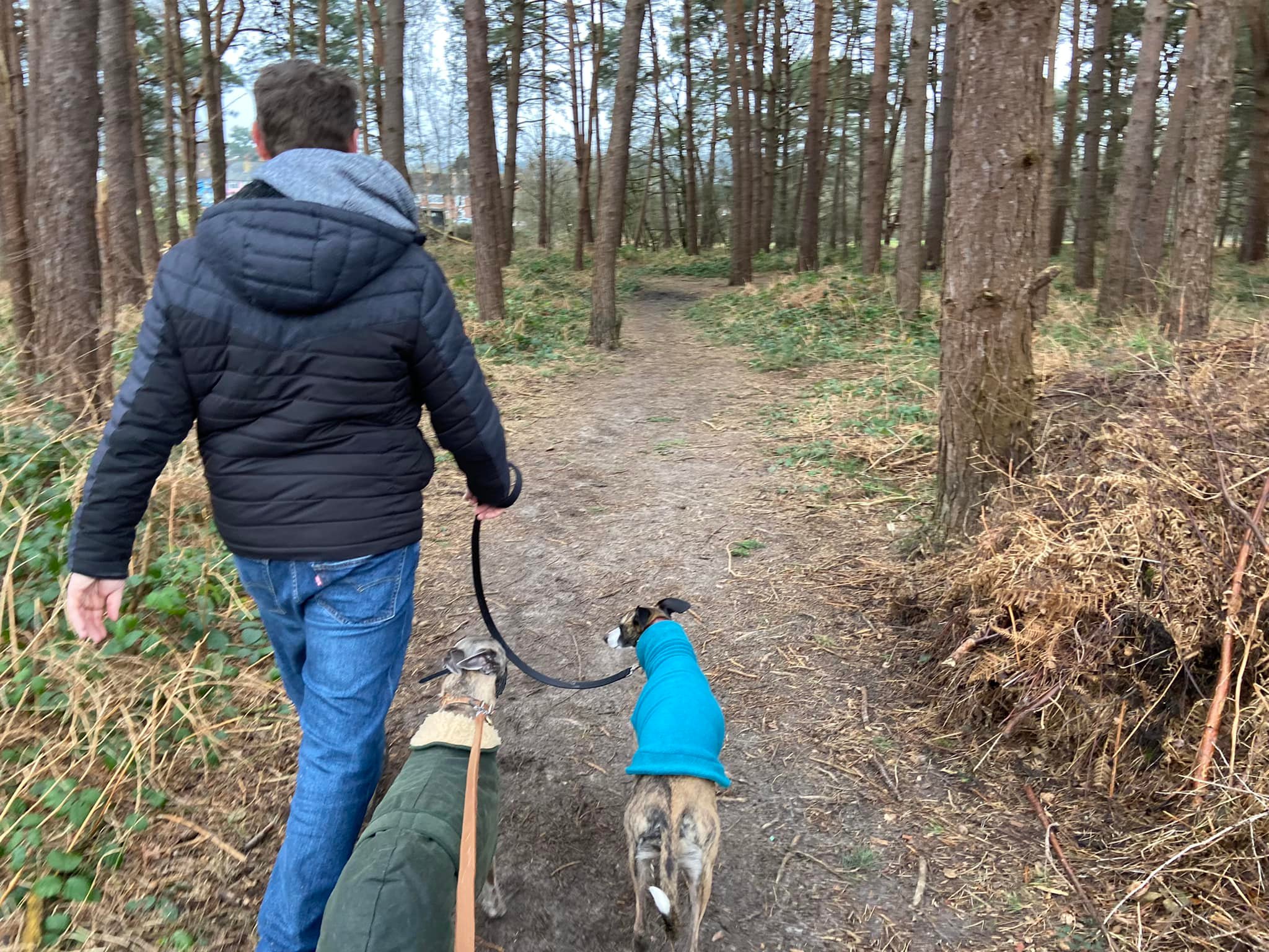
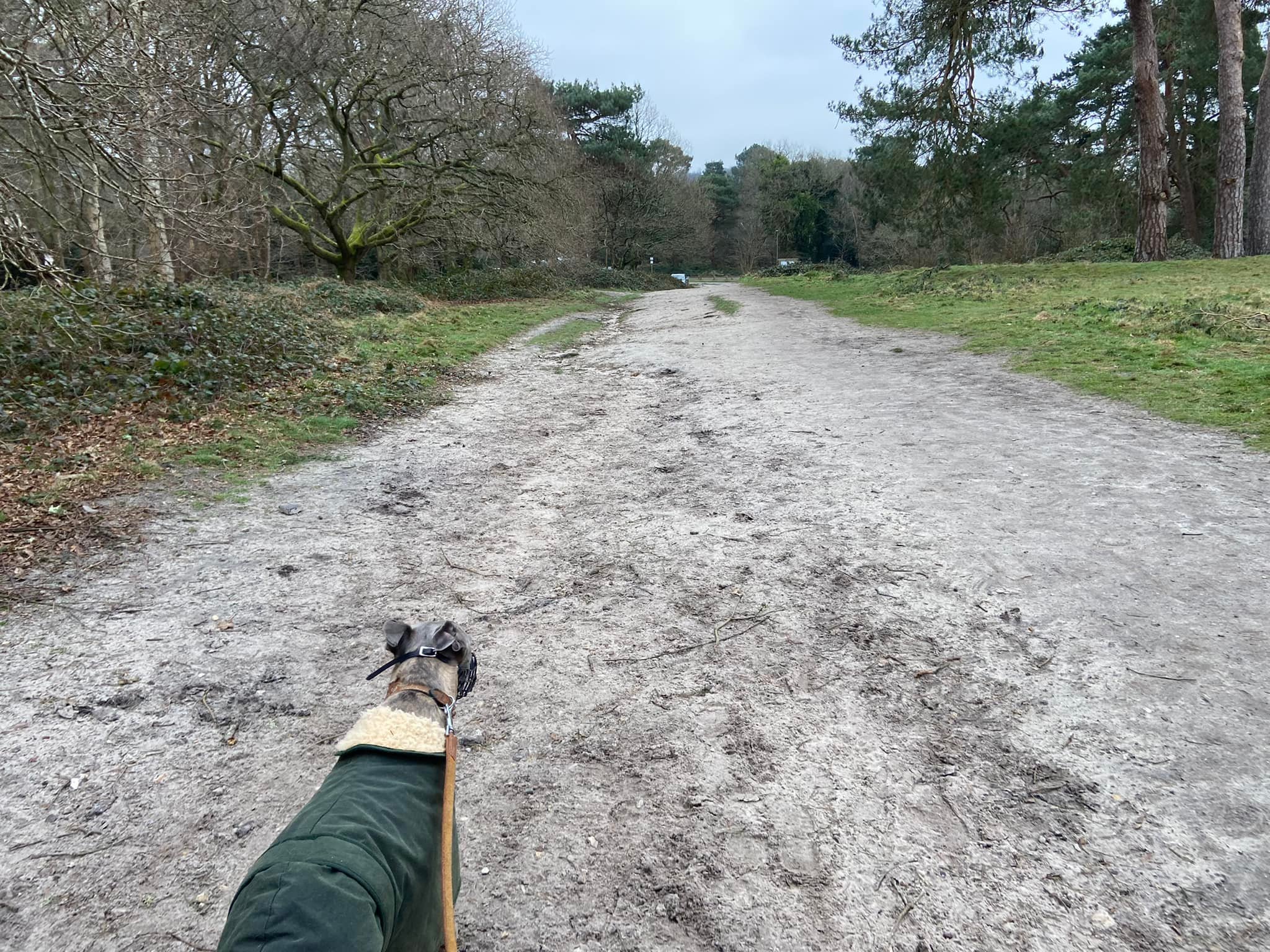
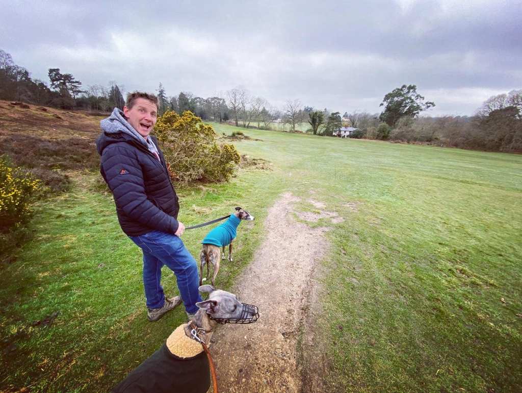
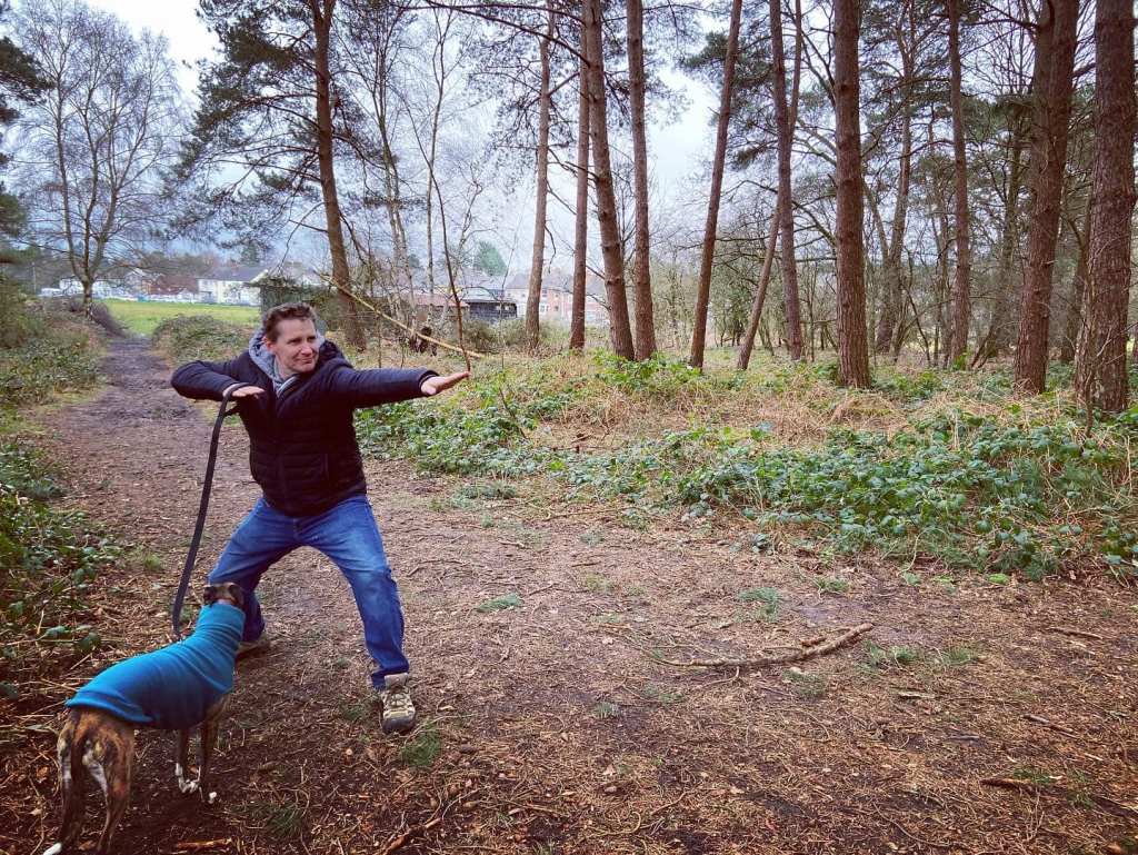
Gallery: What’s it like here?


Parking
Park in the Flanchford Road car park, which has two parts, one on either side of the road.
Poo bins?
At the car park.
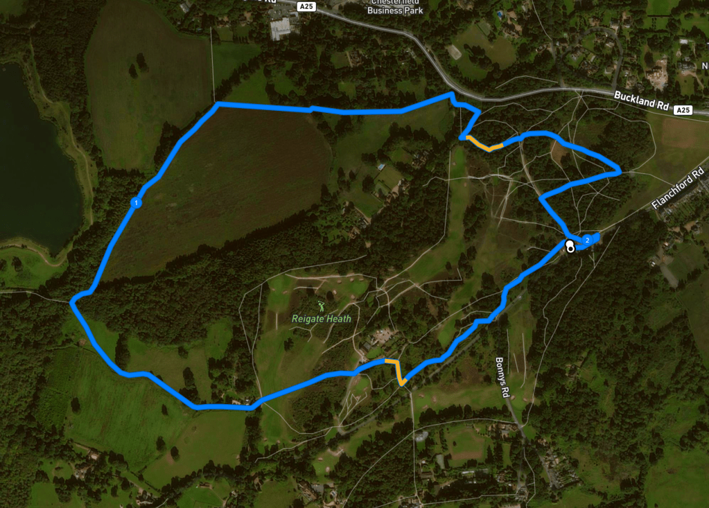
Self-guided walk
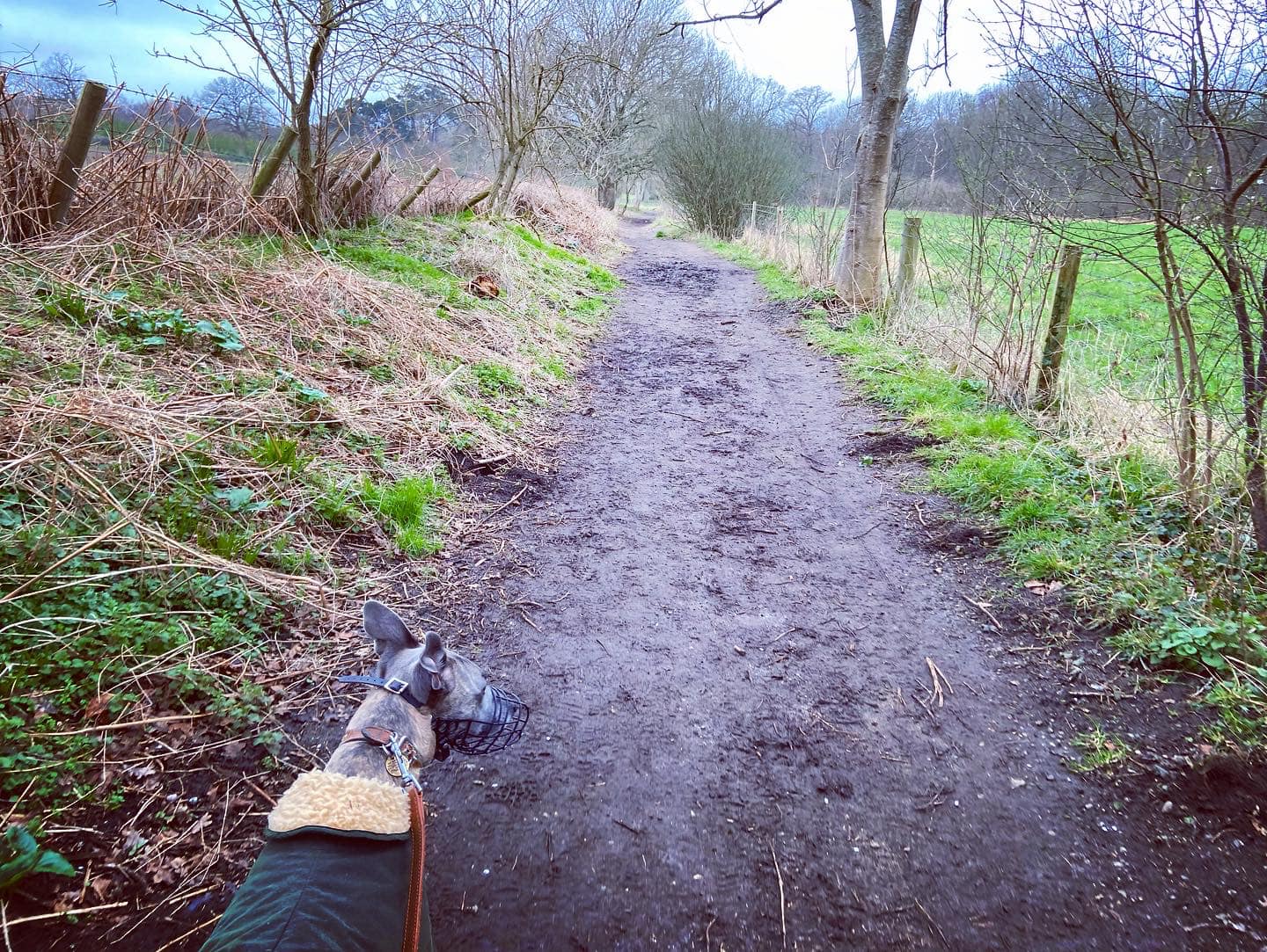
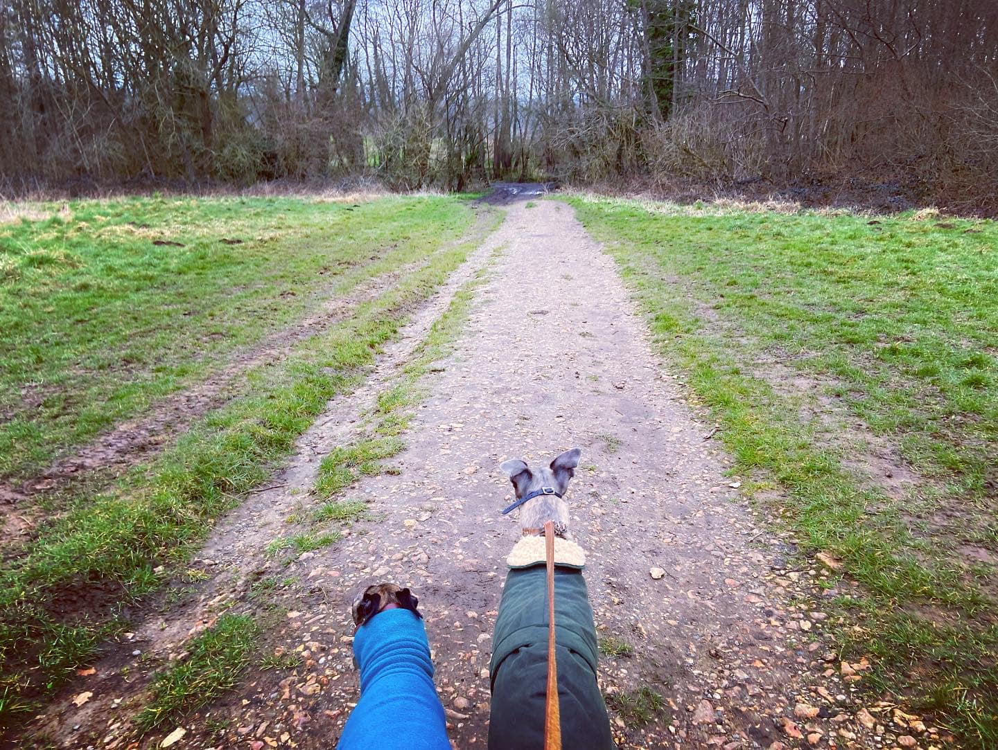
Here is a Footpath app route from the Flanchford Road car park. Also on AllTrails. It takes you through the gorse parallel with the road, then up past the windmill at Reigate Golf Course. You’ll go down across a fairway and then through fields to the stream from Pit Pond, before heading back through fields and Reigate Heath’s heathland and woods.
Length: approximately 2.1 miles/3.3 km
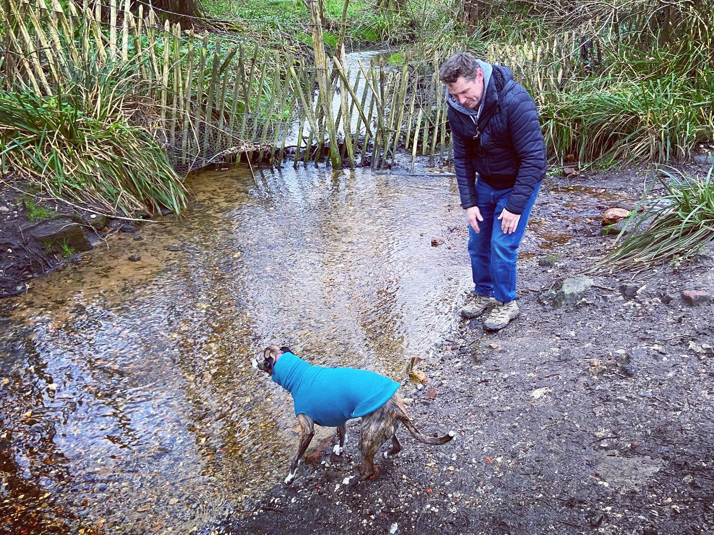
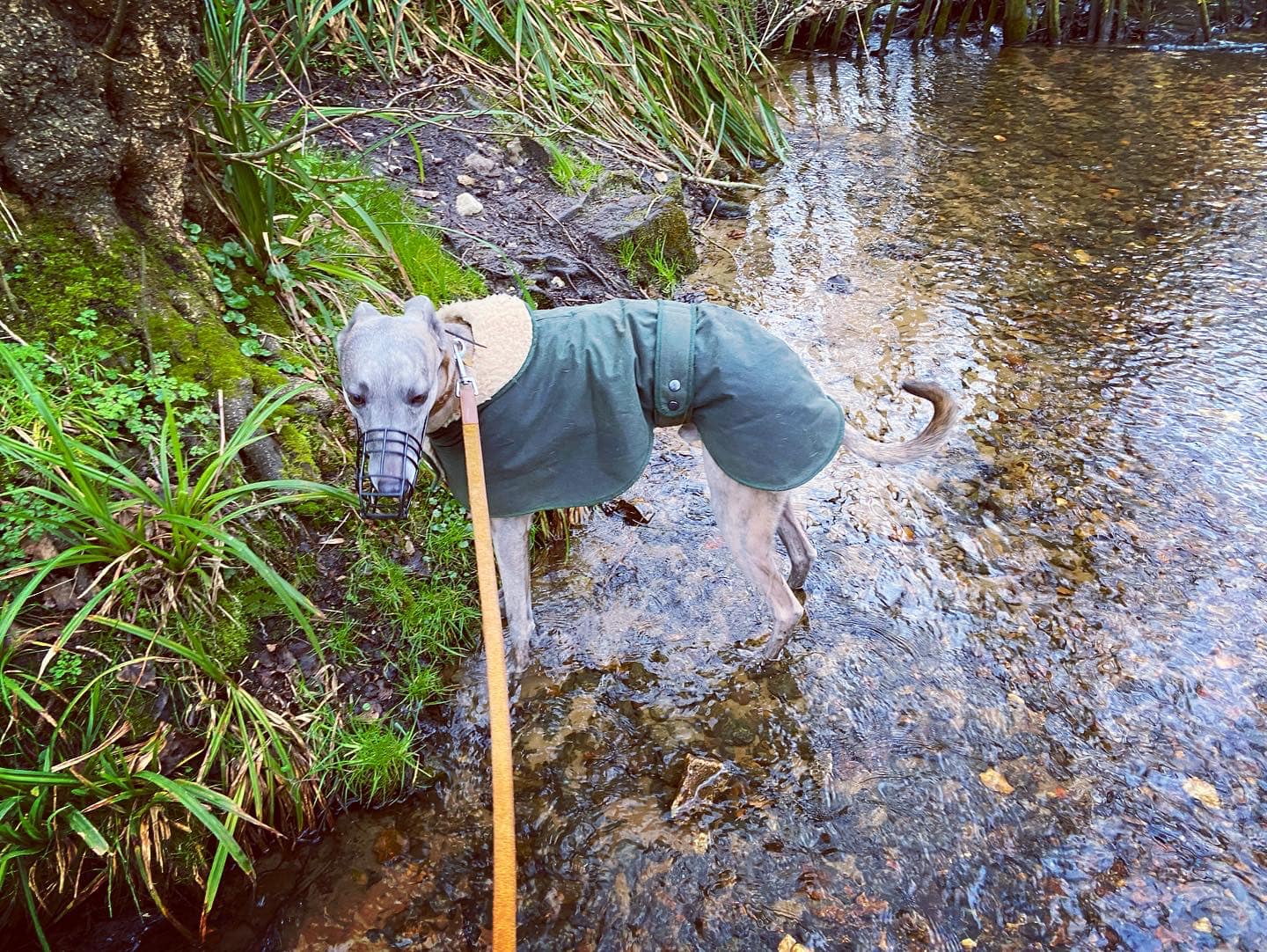
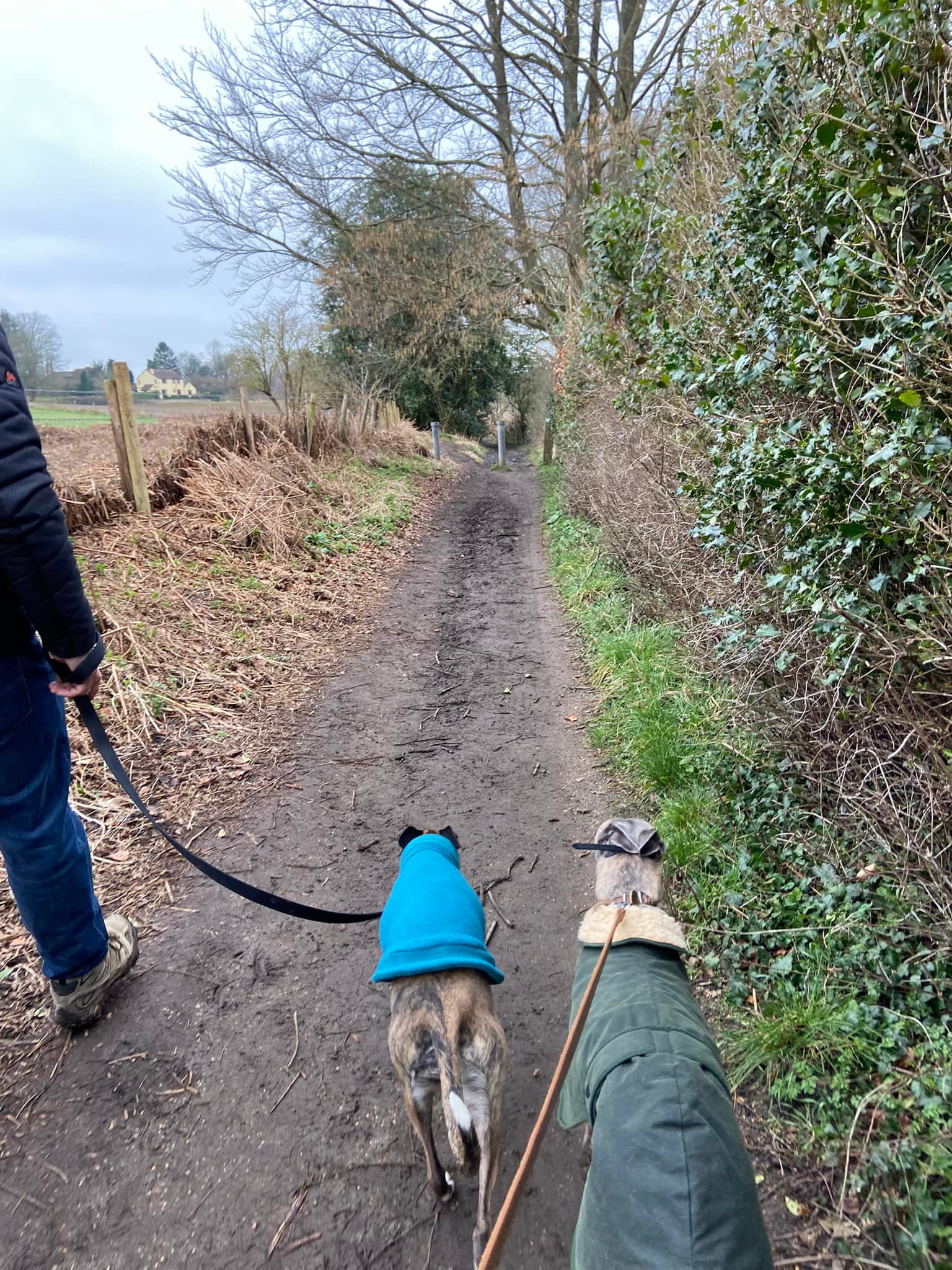
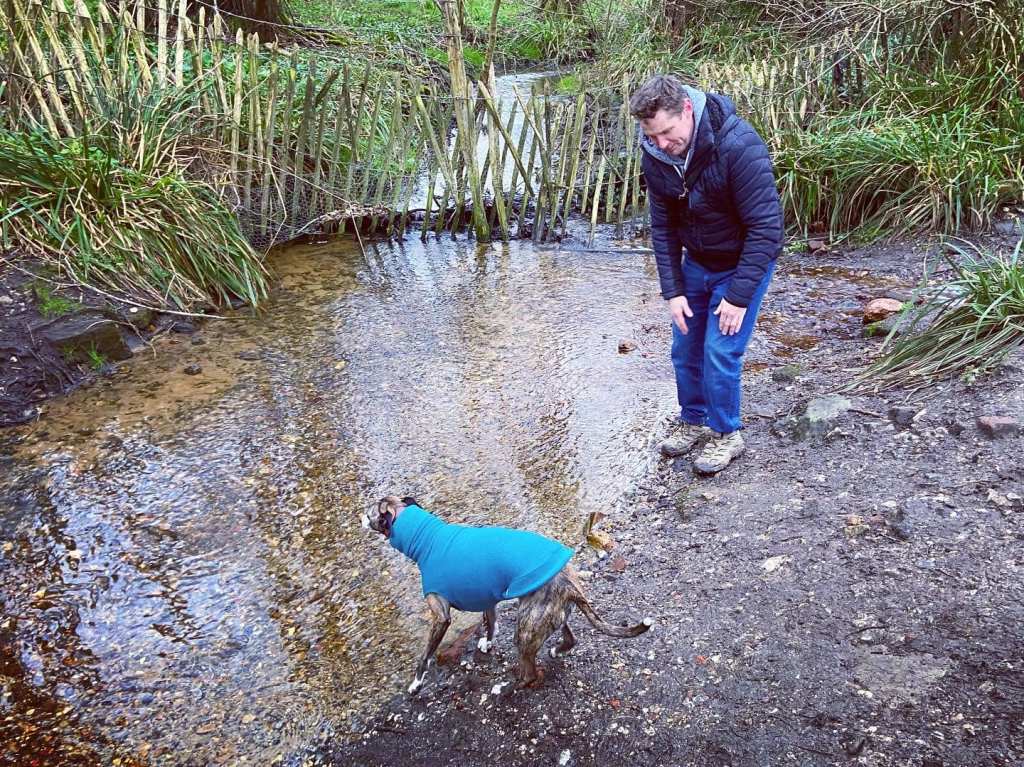
Terrain: Gently undulating or flat – there is a hill up to the windmill but it isn’t long or that steep really, then a slope back down across the fairway. Take care as golfers ping balls across here – make sure that play is stopped before you cross. This route goes close to the road and crosses a couple of lanes/access tracks so probably best to keep your dog on lead for it. About halfway round, there’s a stream for a paddle.
Stiles/kissing gates? No stiles, no kissing gates
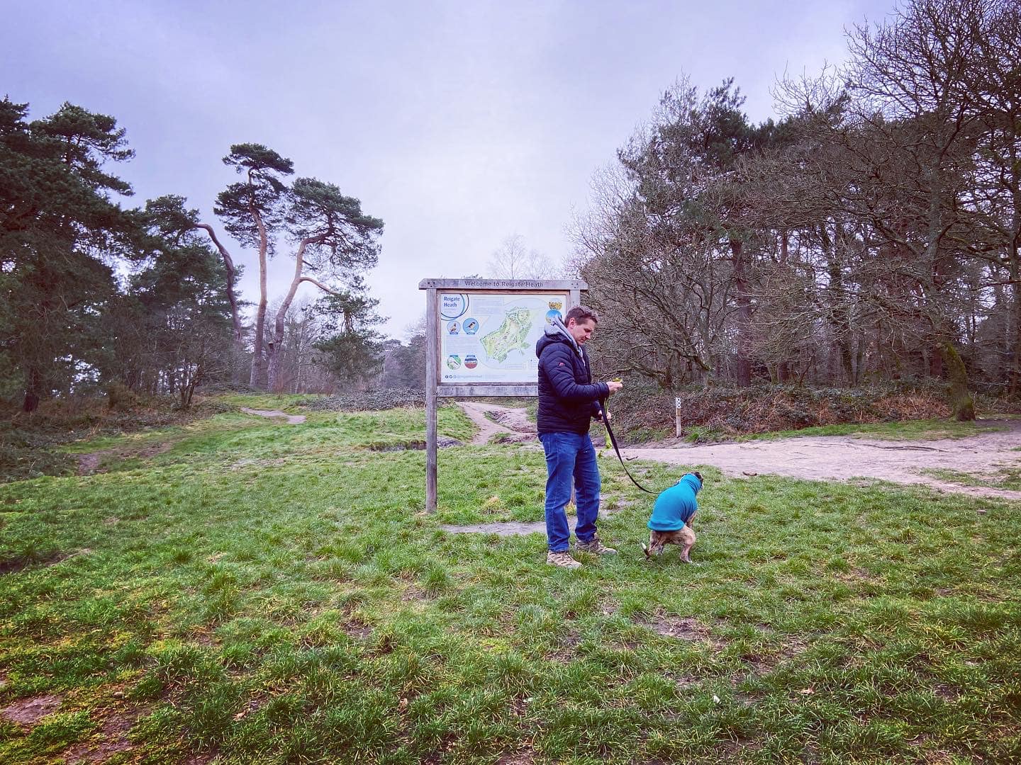
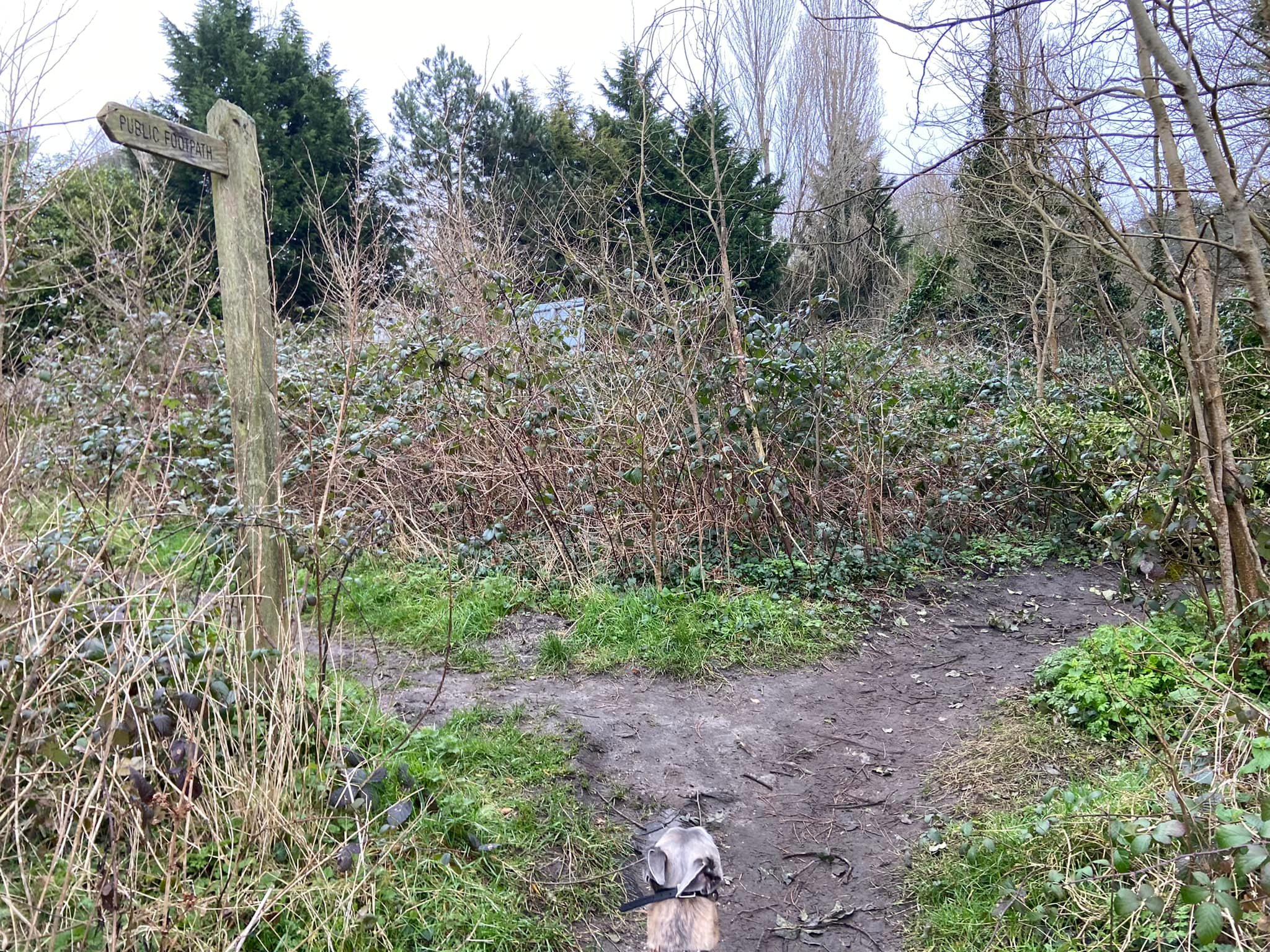
Regardless of what side of the road you park on, start facing the information board on the grass (Reigate town centre will be away to the right). Turn left and walk towards the small marker post, where you take the sandy path to the left. The road will be on your left and the golf course on your right.

When you come to the junction of paths by a small marker (and the road sign for Bonny’s Road visible to the left), go straight across onto the narrow path that heads away through gorse and scrub.
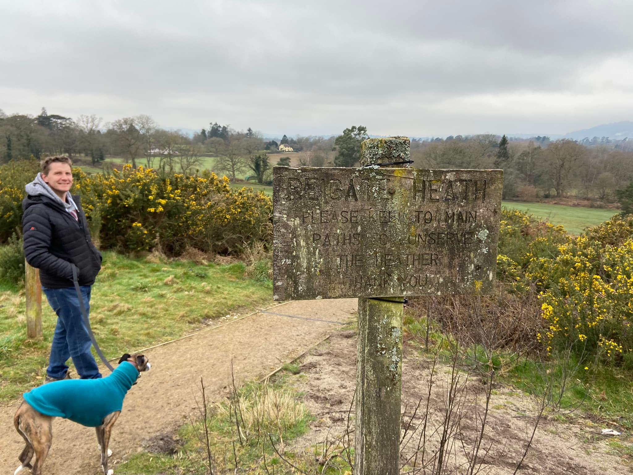
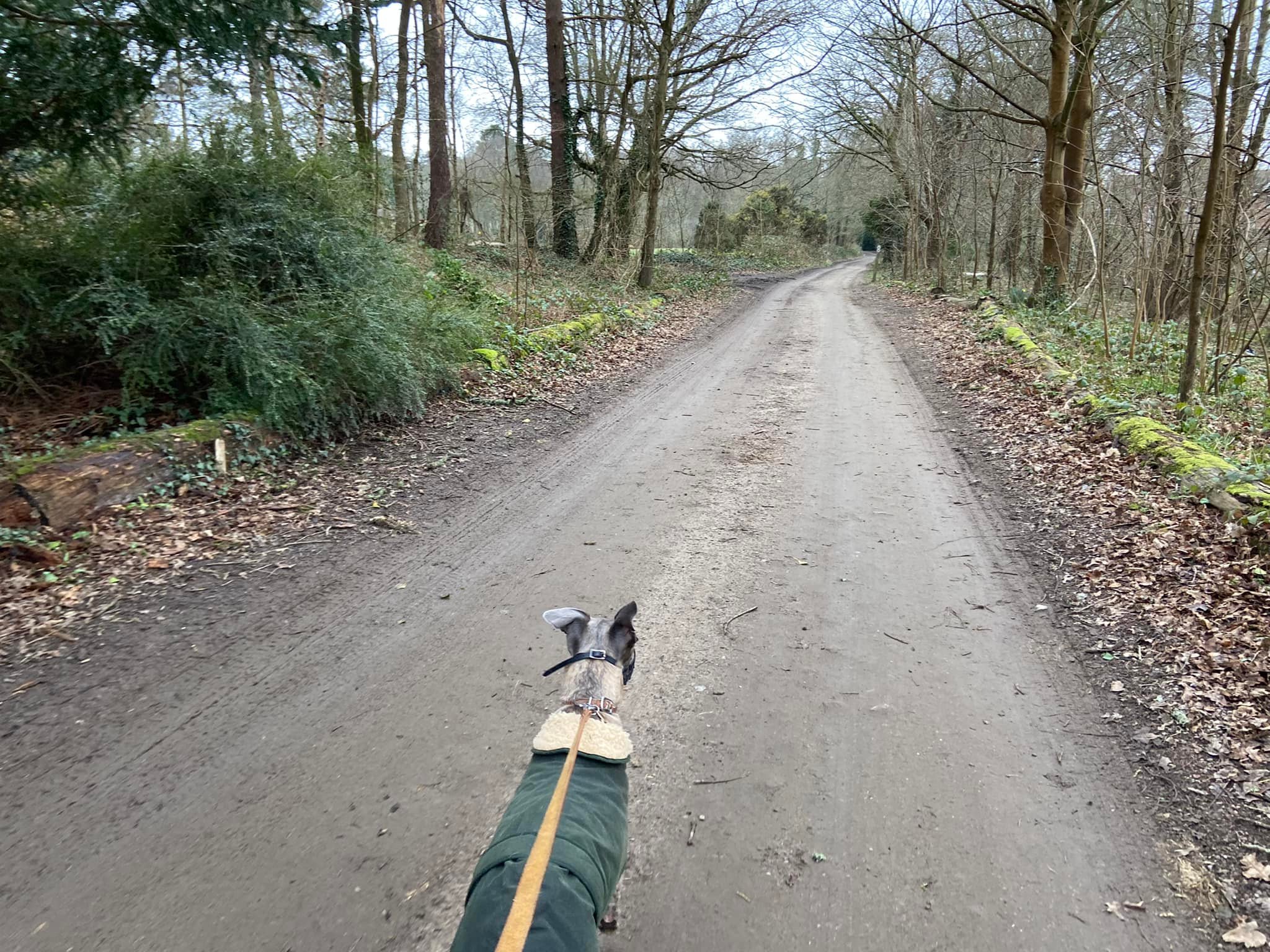
At the next junction, which is by another post that has a forward arrow on it, turn right and head uphill towards the windmill. At the end of this path, turn left onto the access road to the golf club car park on the top of the hill. Walk through the car park with the windmill on your right. Pass a “caution” sign and keep going onto the tarmac drive a very short way towards a path coming off to the right between two posts, one of which has a battered old sign, which reads “Reigate Heath. Please keep to main paths to conserve the heather. Thank you”.
Take this surfaced path down through gorse and heather to the golf fairway. (Before you cross, make sure that that it’s safe to do so and that nobody is teeing off.)
Go straight across the grass towards the house on the other side – Ivy Cottage – and then take the path down the left hand side of the house. Pass between the bollards and keep going. When you get to the vehicle gate (wedged open), just keep going.
You’ll come to a junction with the stream ahead – after paddling etc – turn right and pass through the vehicle gate into the field (always open). Once through the gate, bear to the left and walk along the left hand side of the field.
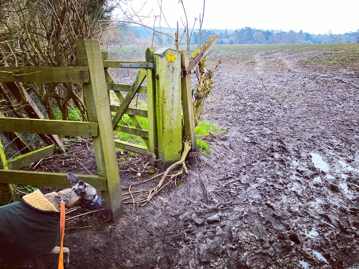
When you’re nearly at the end of the field, by a three-pronged finger post, follow the path to the right. Pass the electricity pylon and keep going to the corner, where this main path veers off to the left through scrub and alongside a kissing gate. Follow this path out of the field. It is quite narrow and windy but no opportunity to get lost along it.

At the fork by a finger post, bear to the right (the left-hand option heads to the road) and after a short way, go straight over an access driveway and follow the little mud path, keeping to the left at the fork (if it’s there, depends on the time of year.)
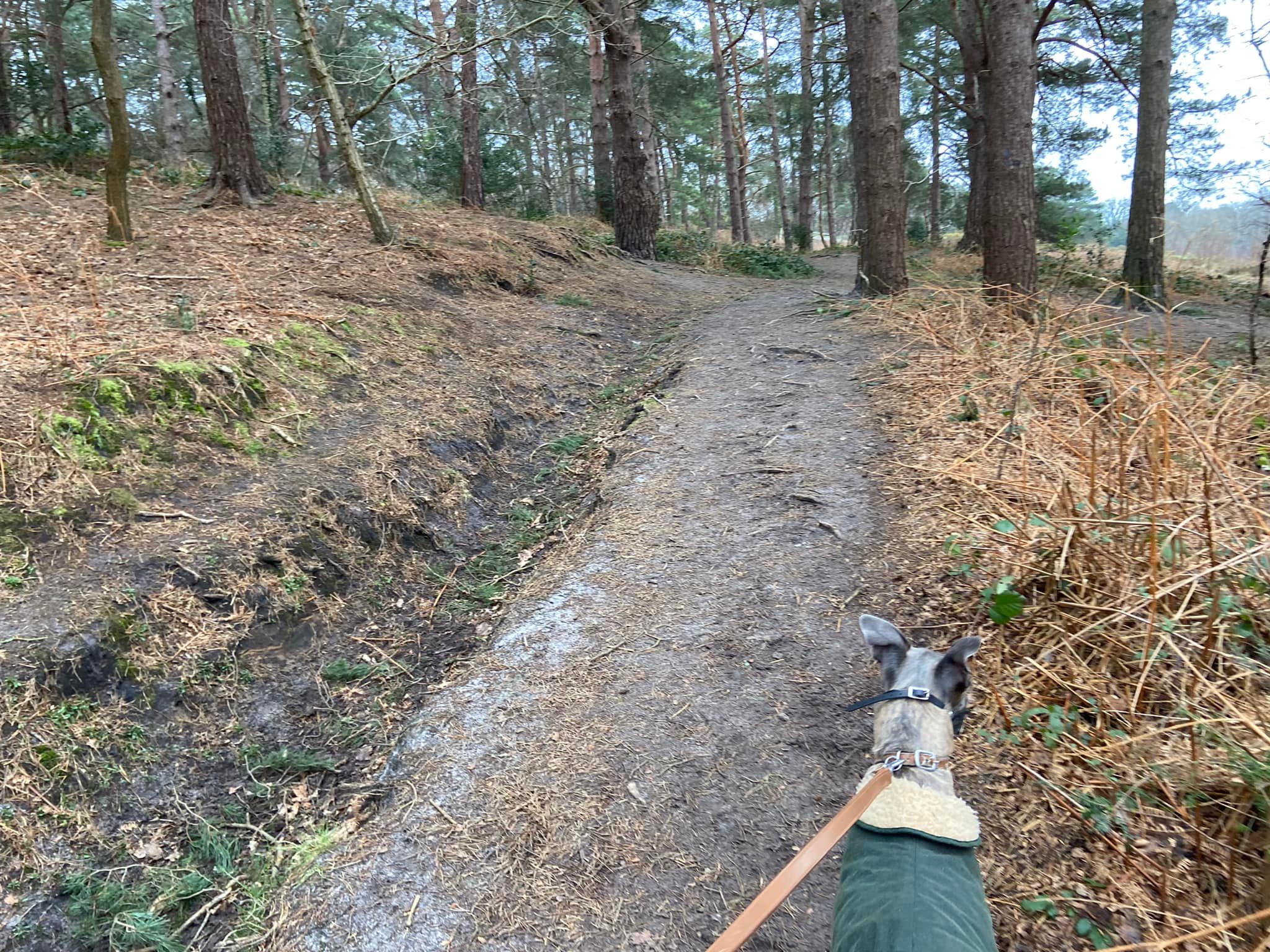
At the next lane, turn right and walk a short way towards a post with two arrows on it, where you turn left and head up a gullied path that runs next to the golf course (on your right).
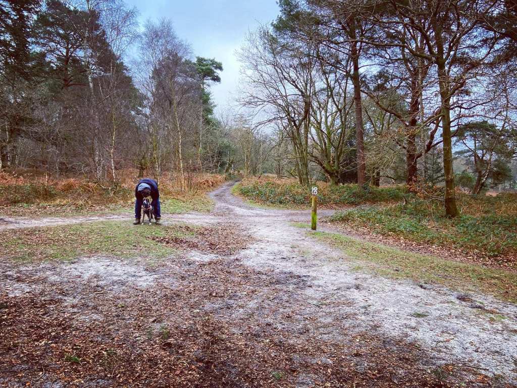
Head through the trees and straight ahead at the cross paths.
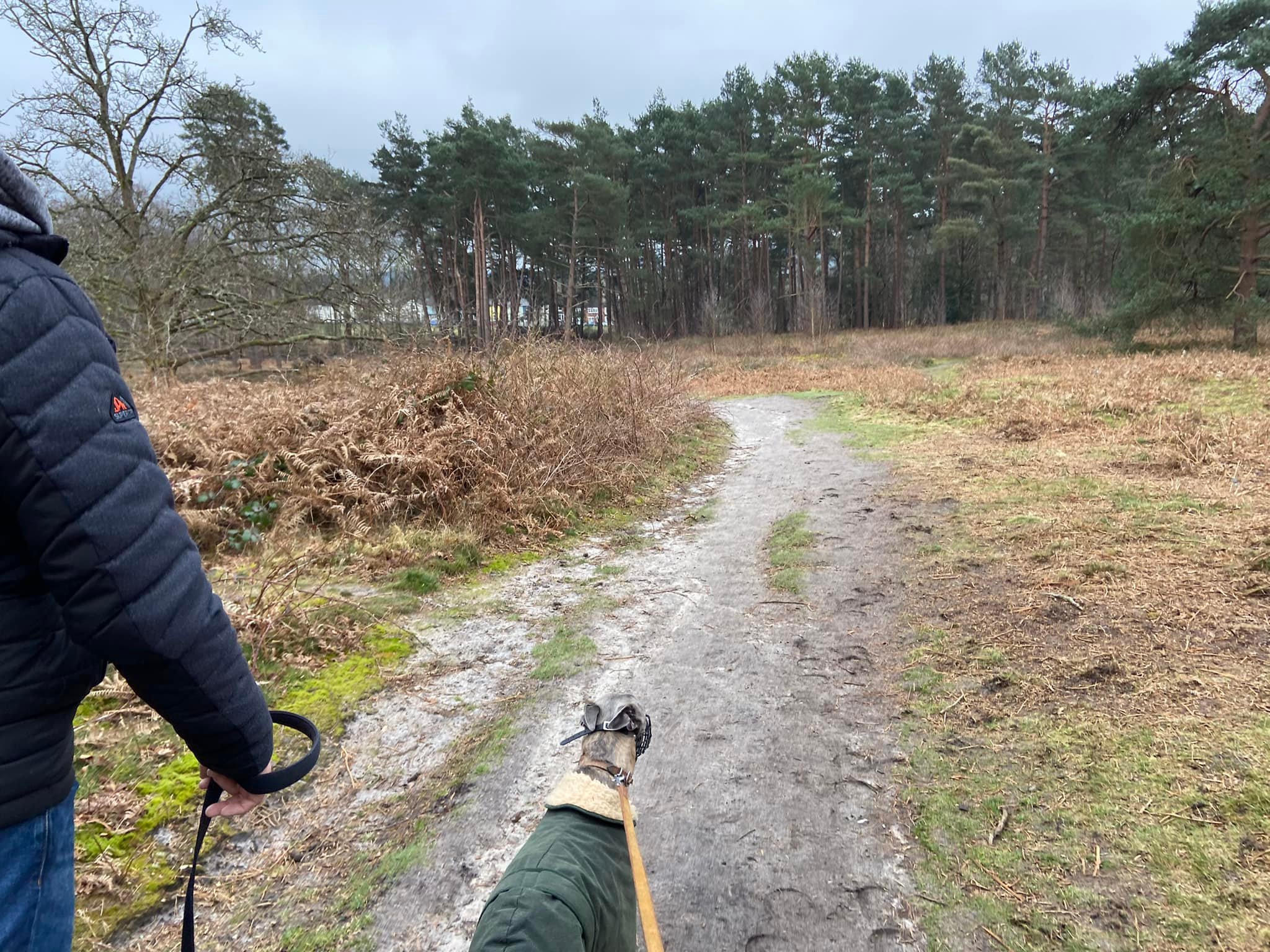
Ignore a little path to the right (if you even notice it!) and continue up the hill away from the golf course. You can’t see anything much as the terrain is rugged here but this area of the heath is the site of an ancient cemetery.
You’ll come to a wide intersection of multiple paths. Continue straight ahead to the post and turn right immediately after it.
At the next cross paths in the clearing, continue straight towards the tall trees, behind which you can see the coloured cottages that line the green. Walk into the trees and at the cross paths (where to the left you can see a dark cricket pavilion), turn right.
Continue straight, ignoring all little paths until, just after some fallen trees, you get to a wide open sandy path, where you turn left and head down to the car park.

Leave a comment