Page contents
About
Gallery
Parking
Poo bins?
Self-guided walks
About
The two walks on this page include a stretch of St Martha’s Hill – and the church if you opt for that route. I’ve covered details about the hill and church on this walks page.
Nestled away behind the picturesque village of Chilworth you’ll find the ruins of the Chilworth Gunpowder Mills, one of the earliest examples of a gunpowder mill in the country. In the 16th Century, the Evelyn family, having been awarded the royal monopoly on gunpowder manufacture, set up a gunpowder works here, attracted by the fast flowing Tillingbourne river, which could be used to power water mills.
In 1626, the East India Company also established a gunpowder mill on the banks of the Tillingbourne, which was a thriving and successful mill producing gunpowder for forces abroad. By the middle of the 17th century, the gunpowder works were no longer run by the East India Company, but by other private enterprises.
Traditional black gunpowder was made throughout its history with modern explosives, such as cordite, manufactured in the last decades of its operation. In 1909 there were 300 male and six female workers. Most walked to work from nearby villages. Each morning they would be checked for items that might accidentally cause a spark. They would hang their smoking pipes in a nearby tree for collection at the end of the day .
The works were operational until 1920. Although a large majority of buildings were demolished, more than 100 still remain within this site, which is now owned and maintained by Guildford Borough Council.
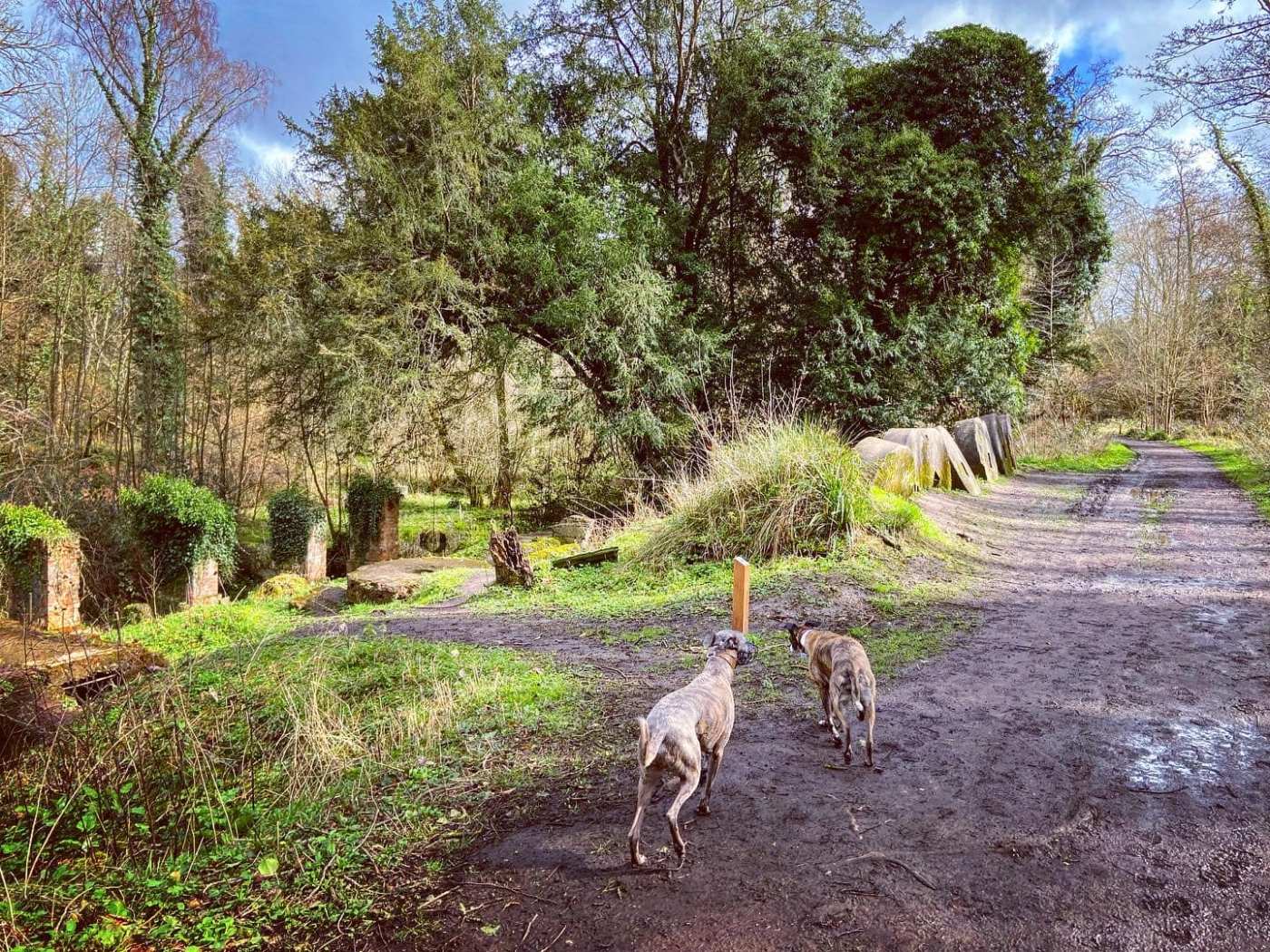
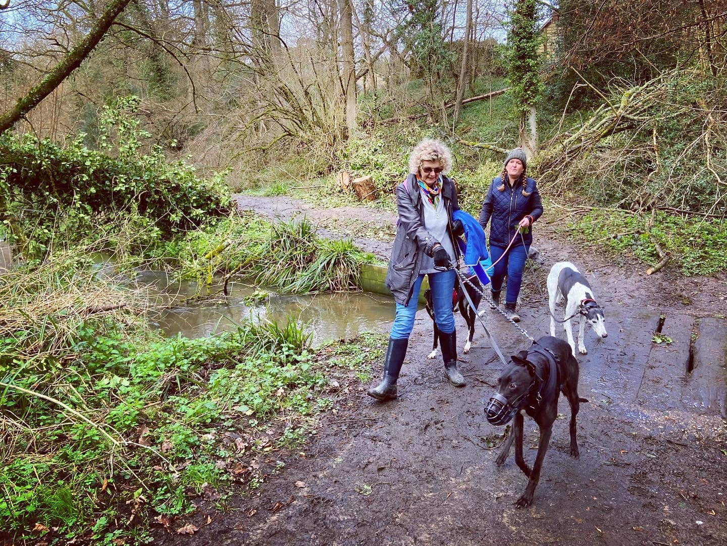
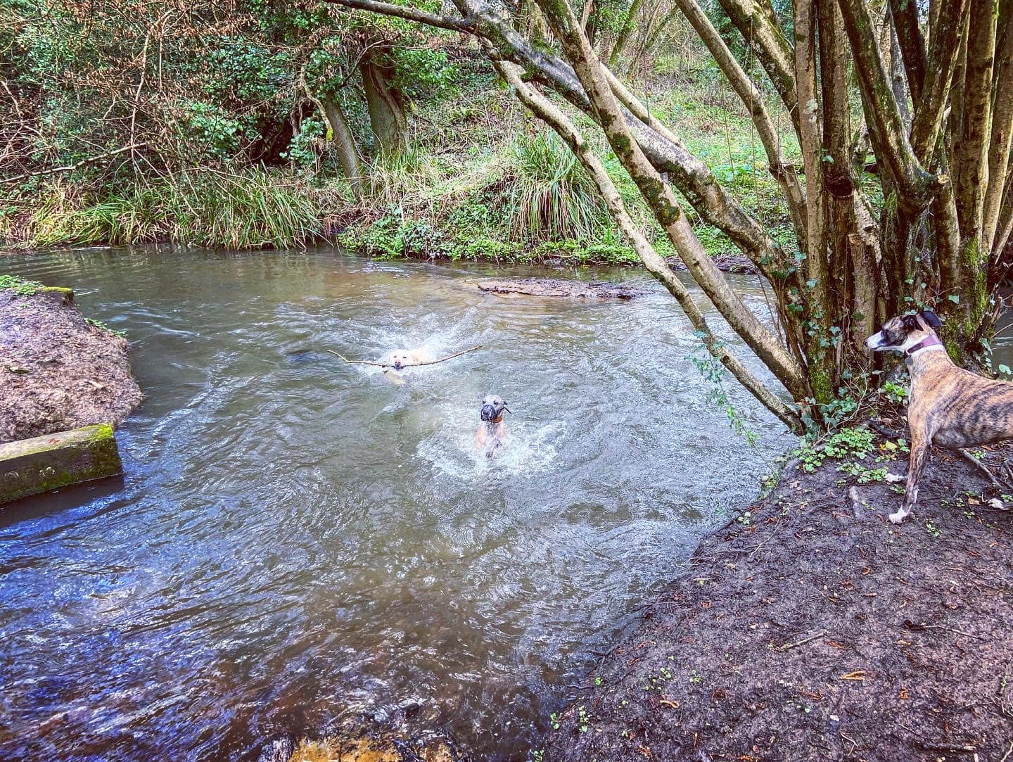
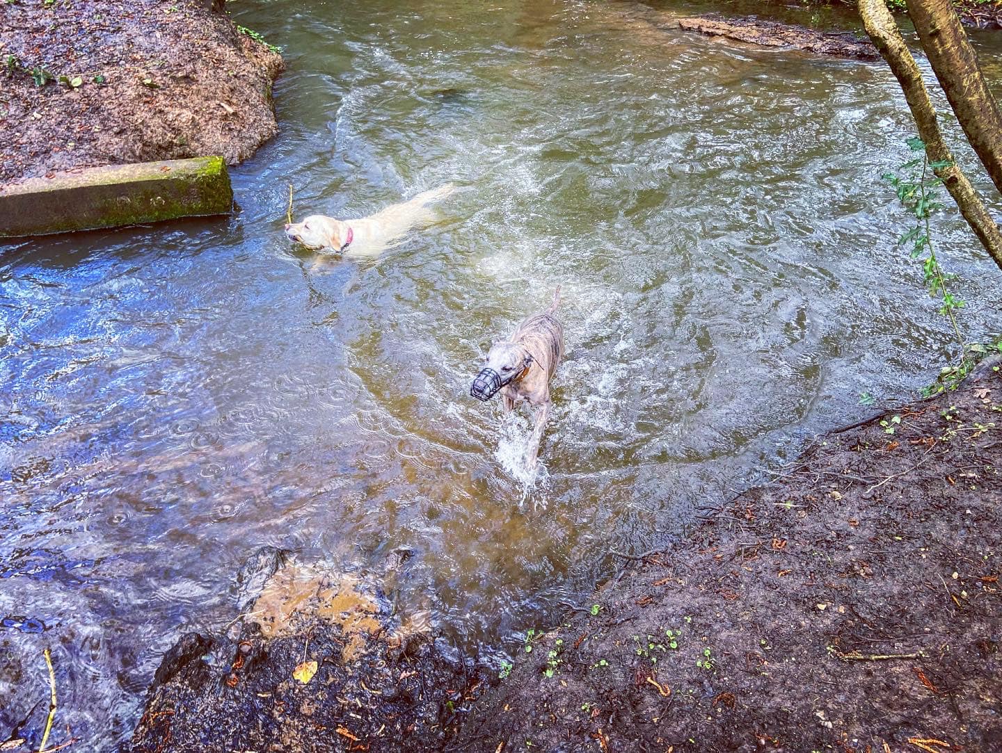
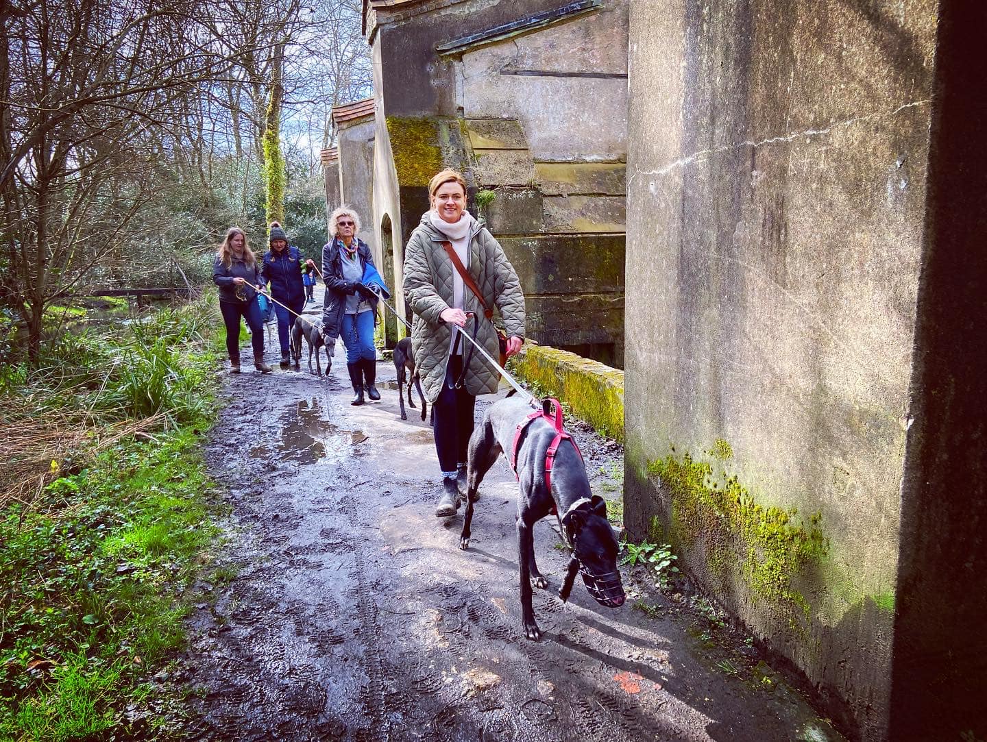
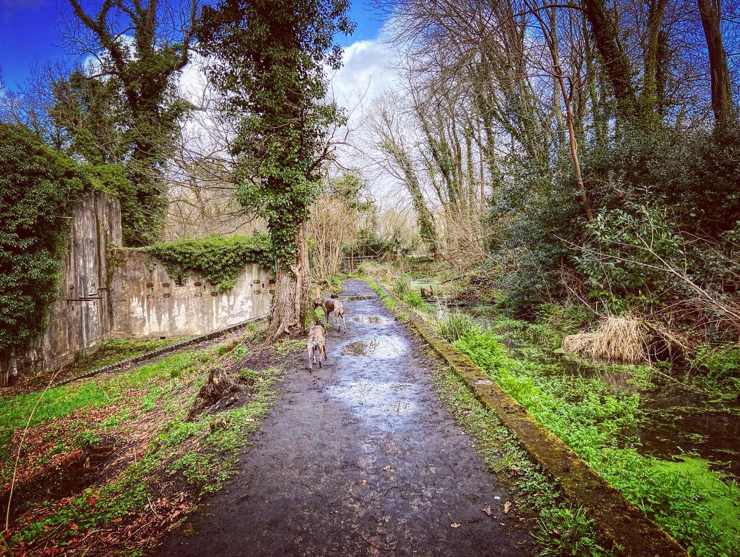
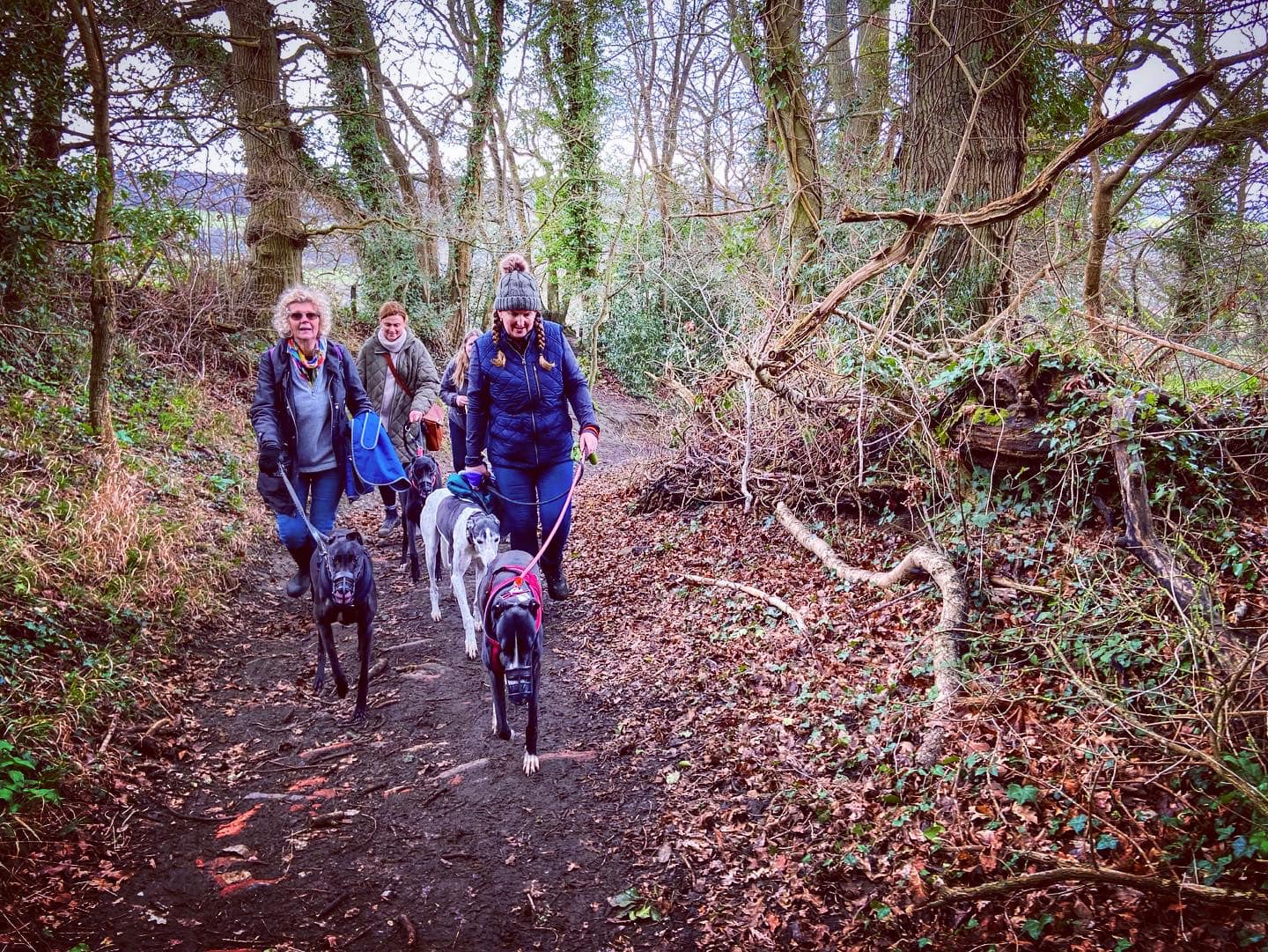
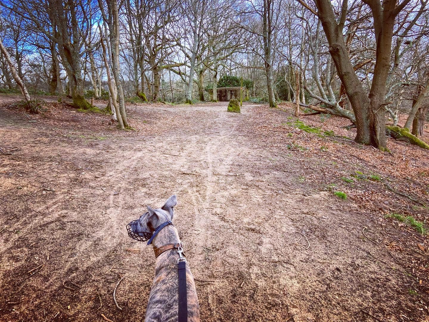
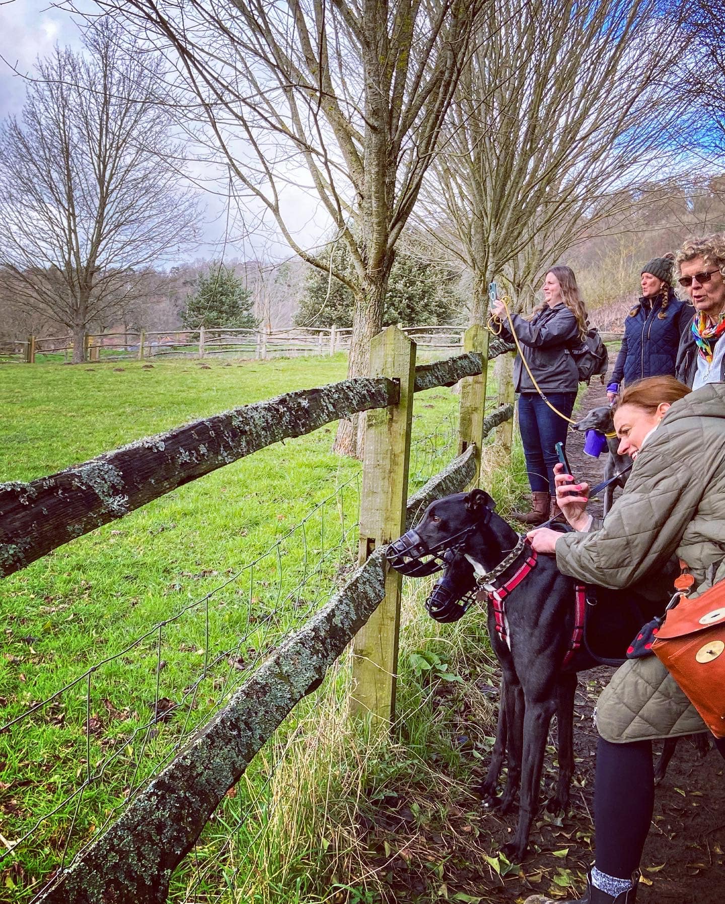
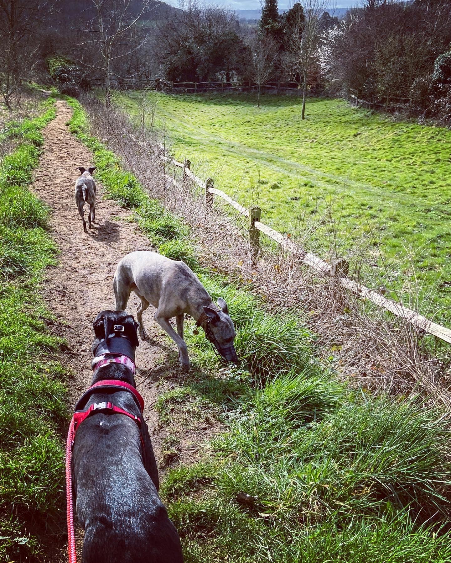
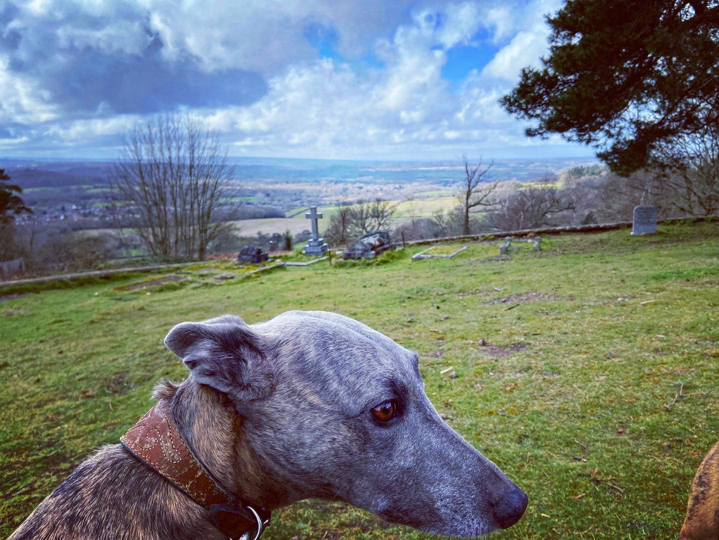
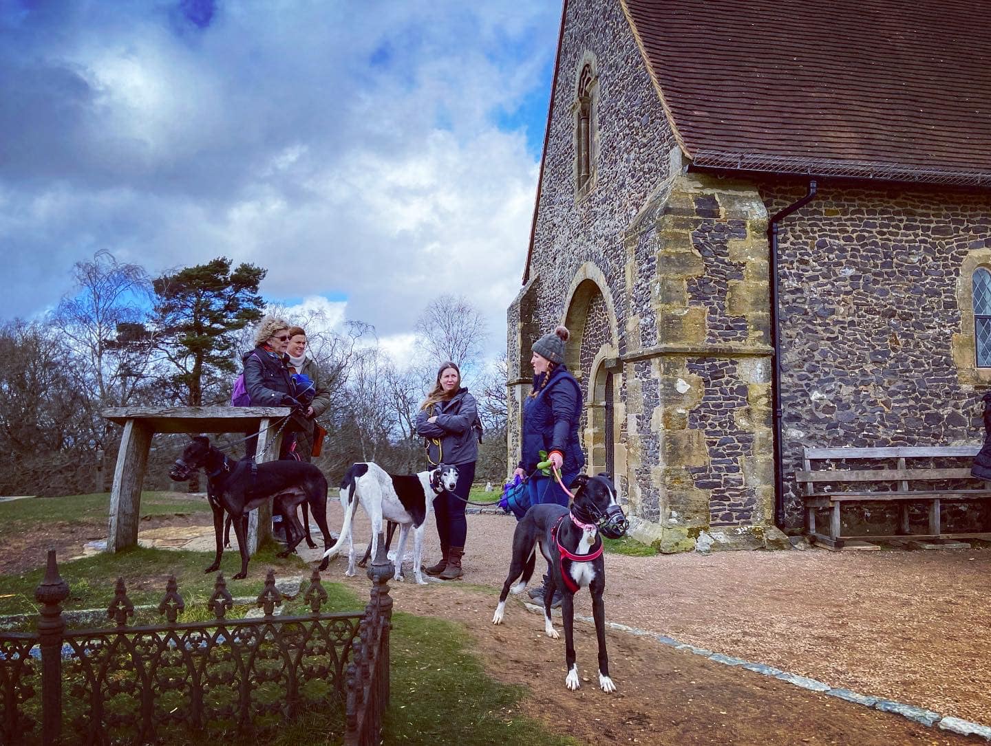
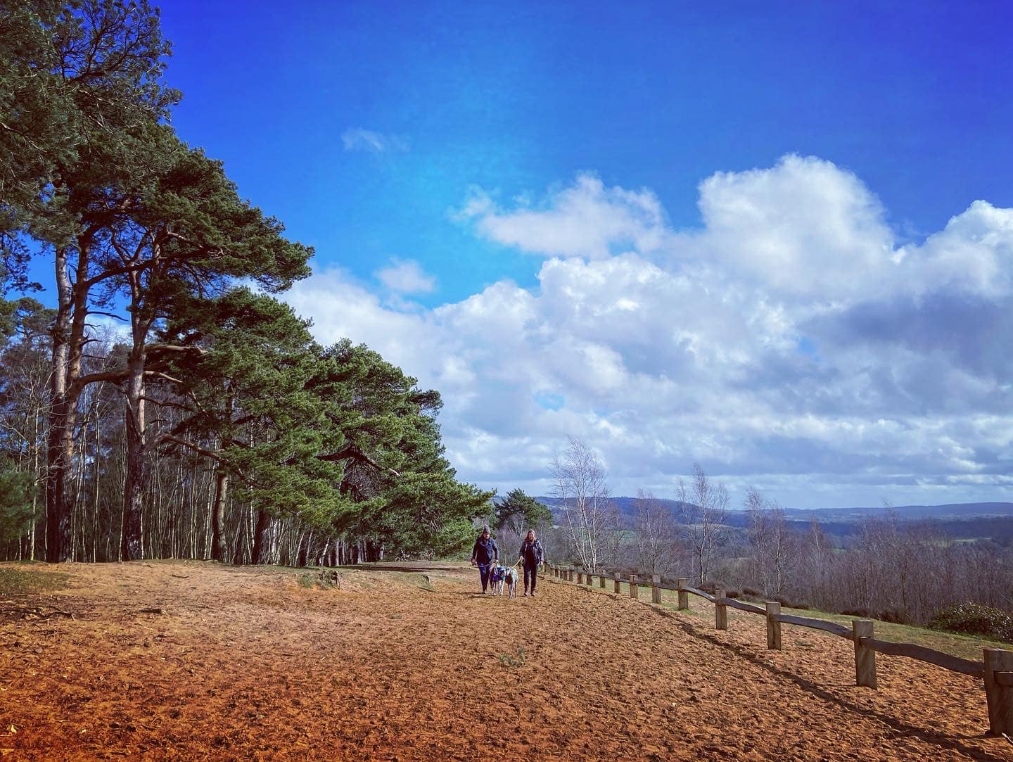
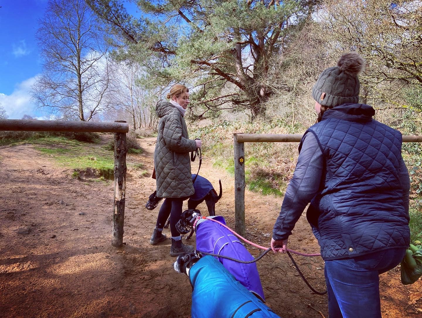
Gallery: What’s it like here?


Parking
For walks to the Chilworth Gunpower Mills, I park at the free car park for St Martha’s Hill on Guildford Lane.
Poo bins?
At the car park
Self-guided walk
There are two self-guided walks to Chilworth Gunpowder Mills on this page.
The first goes via St Martha’s Church and is the same as the outward part of the walk from Guildford Lane car park on this page.
Keep scrolling (or click here to jump) down to a second walk route, which is shorter but doesn’t go via St Martha’s Church. It’s still a lovely walk.
Walk 1 – via St Martha’s Church
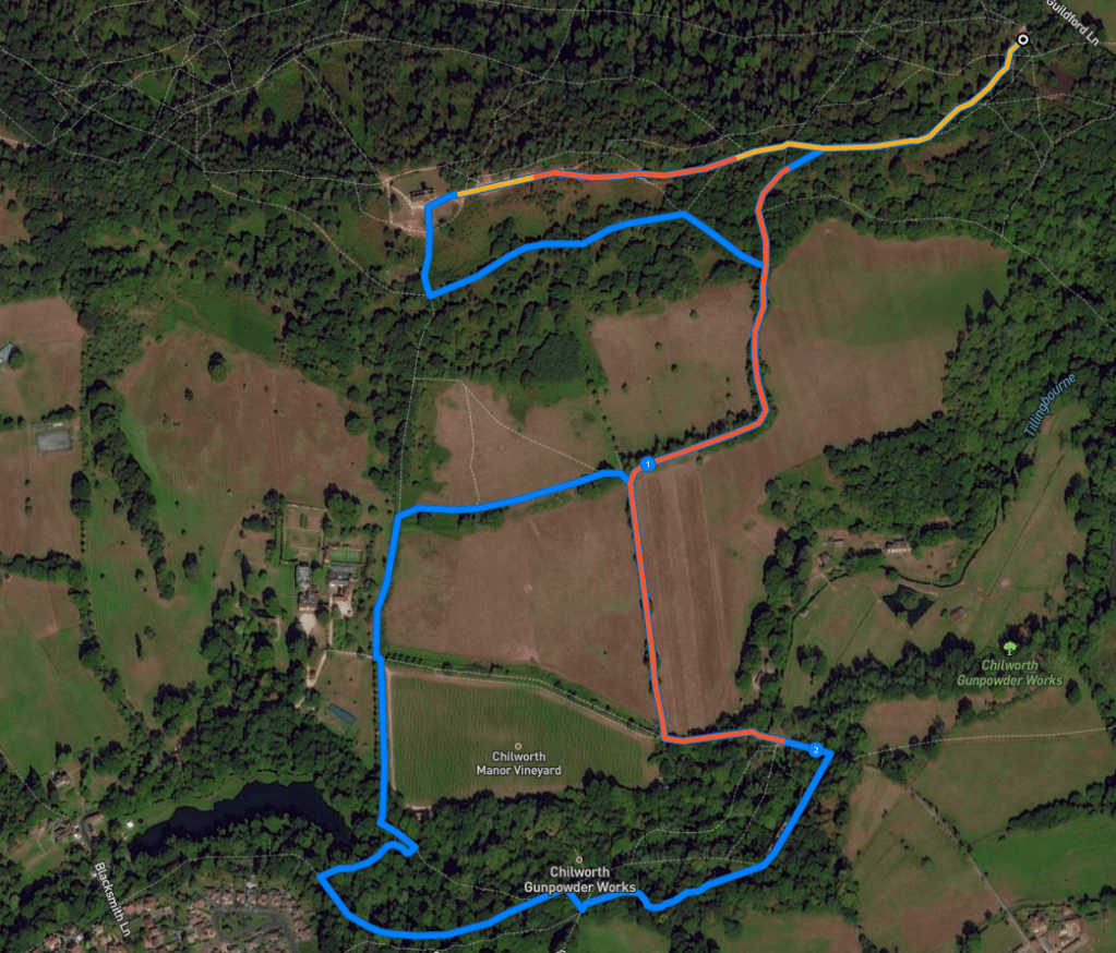
Here is a Footpath app route from the free car park on Guildford Lane to Chilworth Gunpowder Mills via St Martha’s Church. Also on AllTrails. The route takes you up the hill to the church, then down the hill past Chilworth Manor and its vineyard and into the site of the old gunpowder works. You’ll follow the streams and see the ruins before returning to the car park via one of the paths you came down earlier – it’s steep but take it slowly and it’s not that bad!
Length: approximately 2.8 miles/4.5 km
Terrain: Hilly! This is a pretty challenging walk in parts – with some pretty steep slopes both up and down. The soil is quite sandy and there are some sections through the woods that can get muddy. Wear decent walking boot/shoes with good grip – the terrain can be uneven underfoot.
Stiles/kissing gates? No stiles, one kissing gate
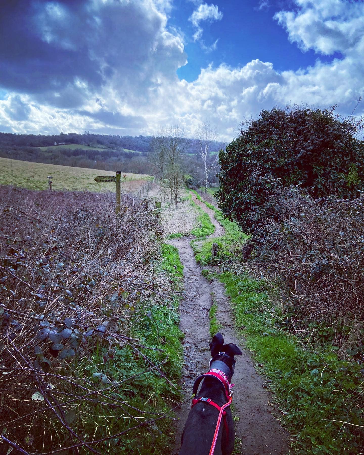
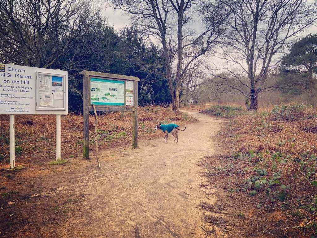
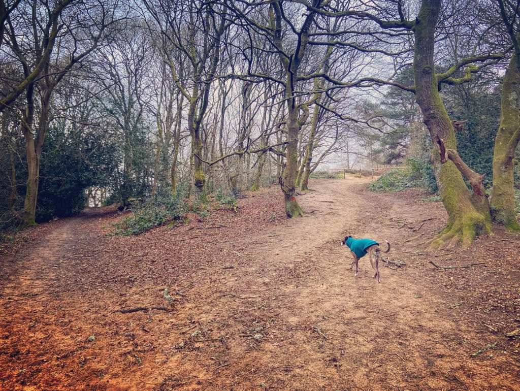
At the back of the Guildford Lane car park, ignore the wooden vehicle gate – head by the green poo bin to information board and turn right on the sandy path.
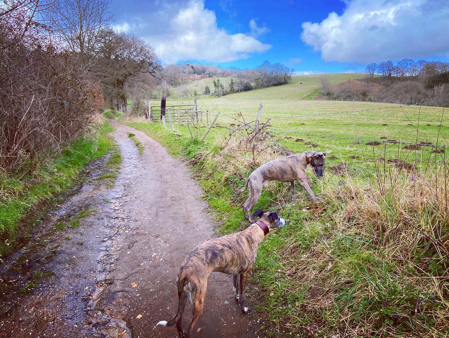
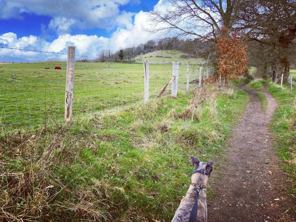
Continue ahead where other paths join this one and it widens out. You should notice to your left, on an adjoining path, that there’s a finger post. The path heads gently uphill and round to the right. Over to your left, you’ll see rolling fields between where you are and the village of Chilworth.
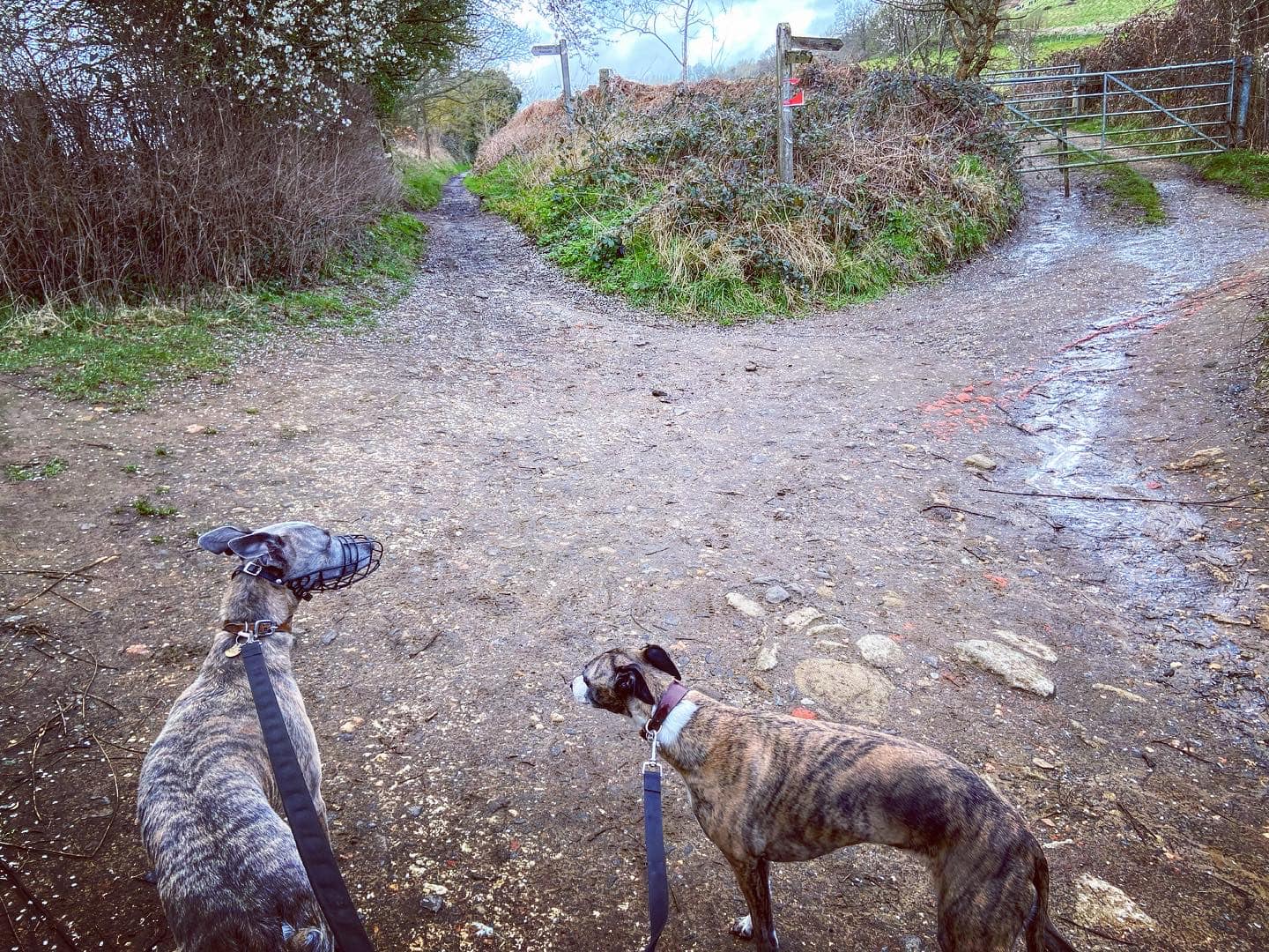
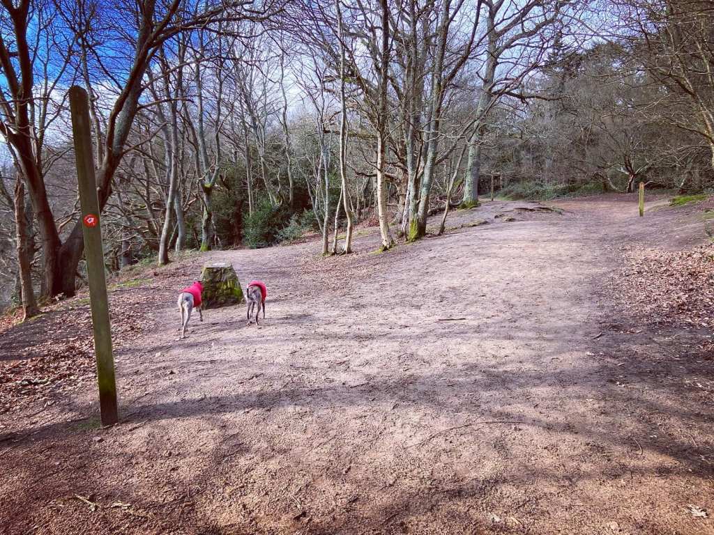
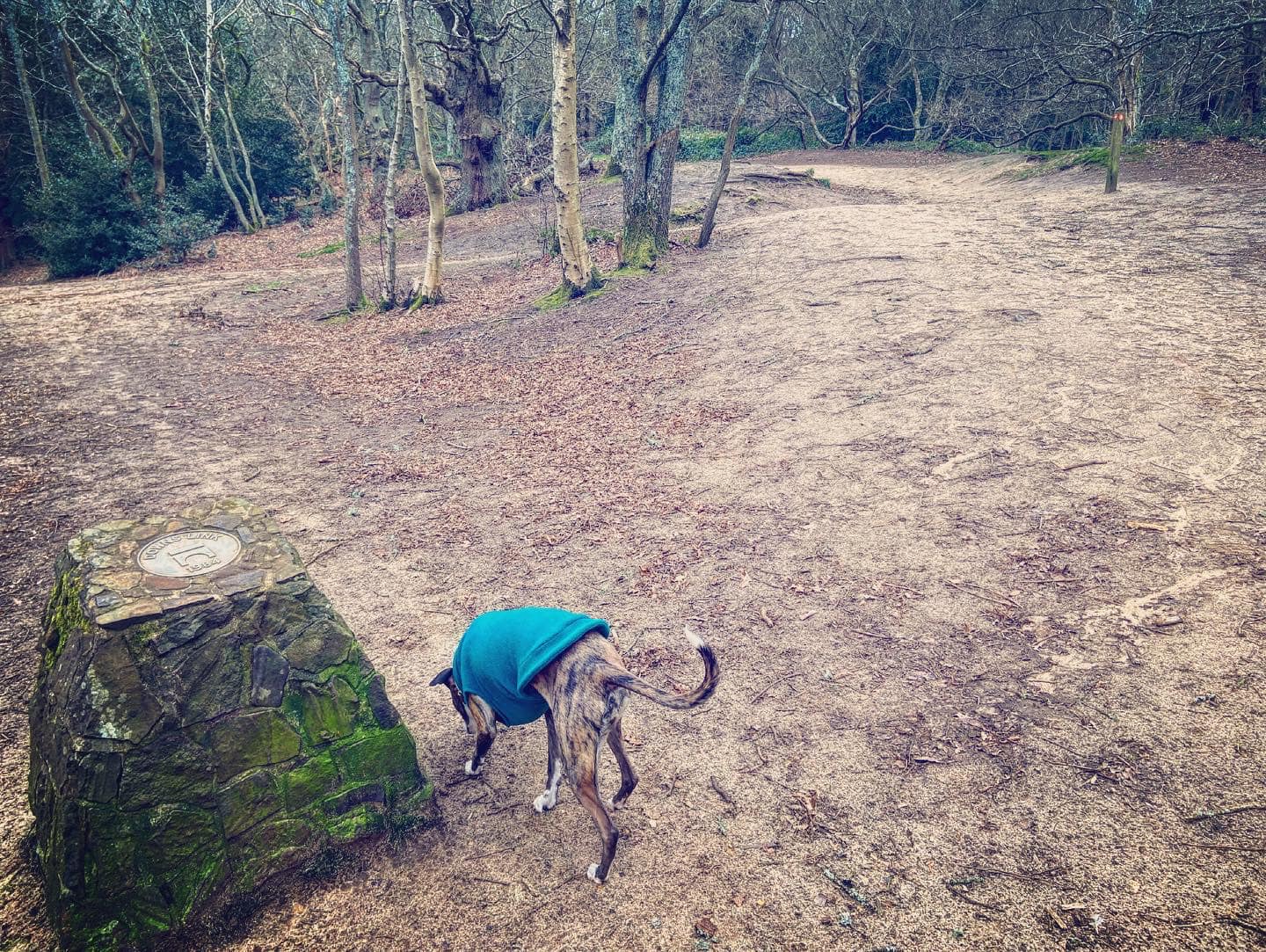
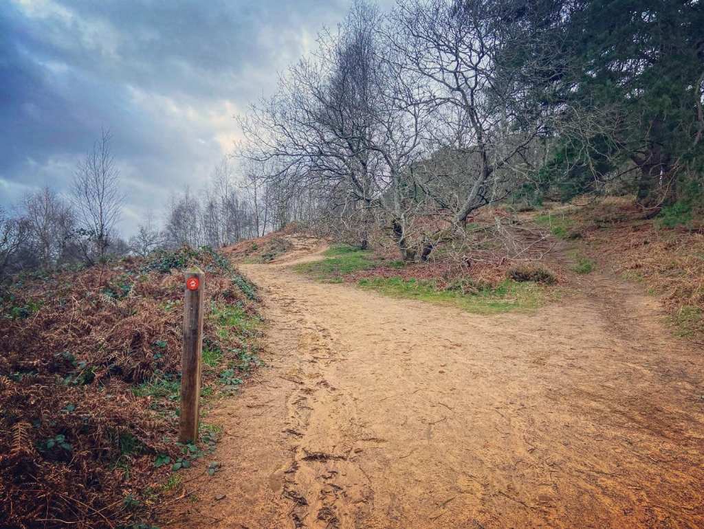
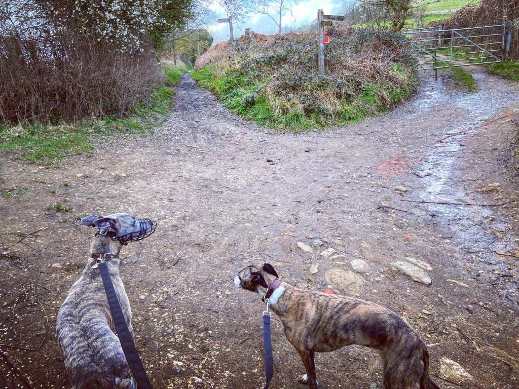
Pass a WW2 pillbox, part of the North Downs defence line of invasion as you reach the next finger post, which is by the Downs Link marker stone. Keep right here, ignoring the path to the left. Very shortly after, there’s another finger post and a path off to the right. Again, continue straight up the hill on the North Downs Way, which for this stretch of its route follows the old Pilgrim’s Way.
Take the right hand fork at the next finger post, taking the path up the hill towards the wooden barrier with the gap in it, rather than the lower path.
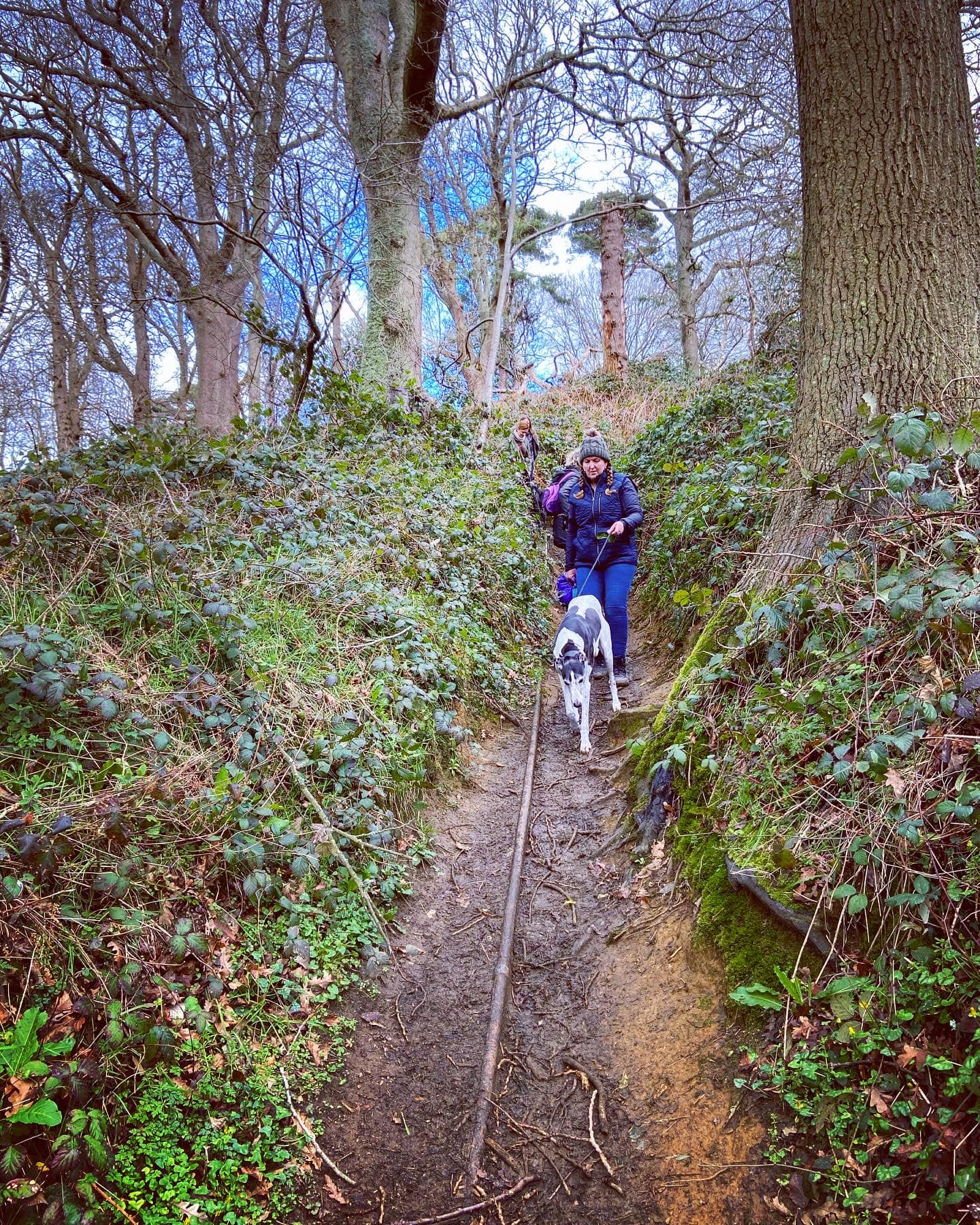
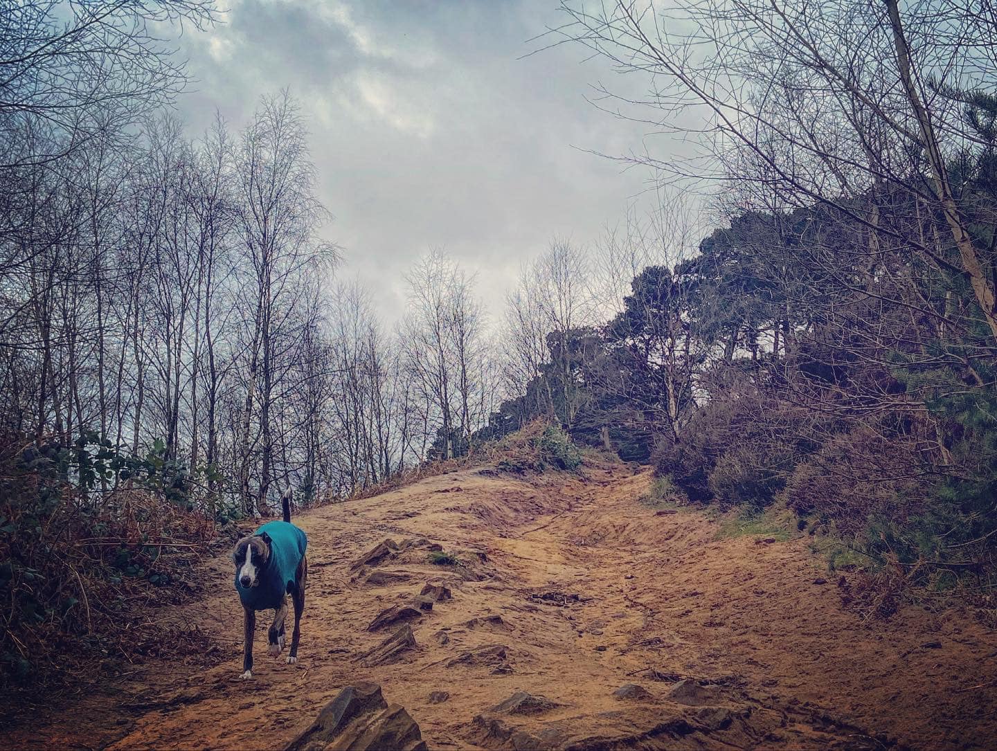
Stick to the main path, passing the orange marker. It’s steep and craggy so do take care. At the brow of the hill, a small fence will be along the left side of the path and St Martha’s Church will come into view ahead.
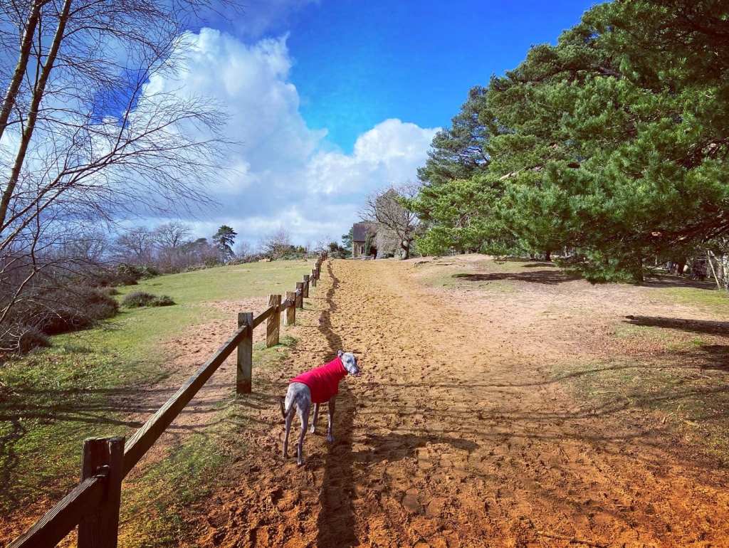
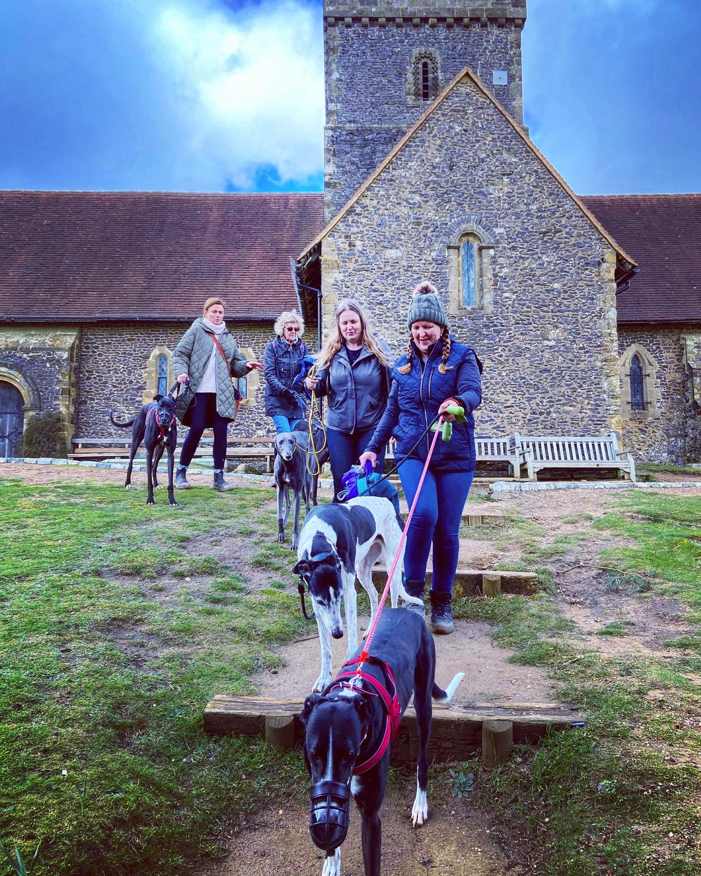
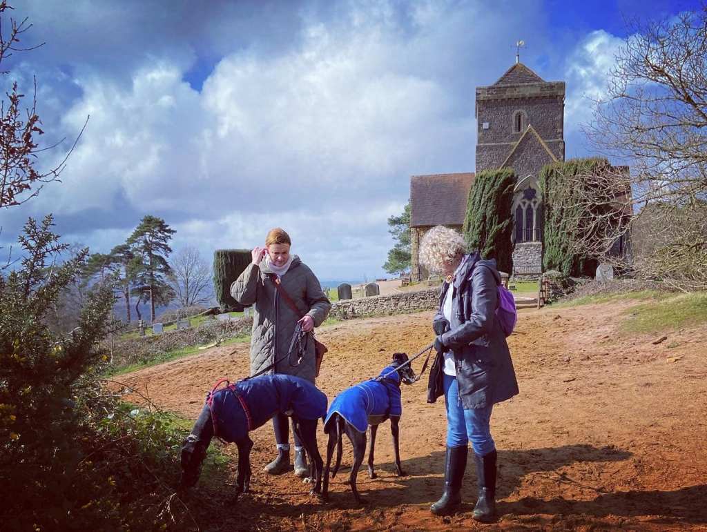
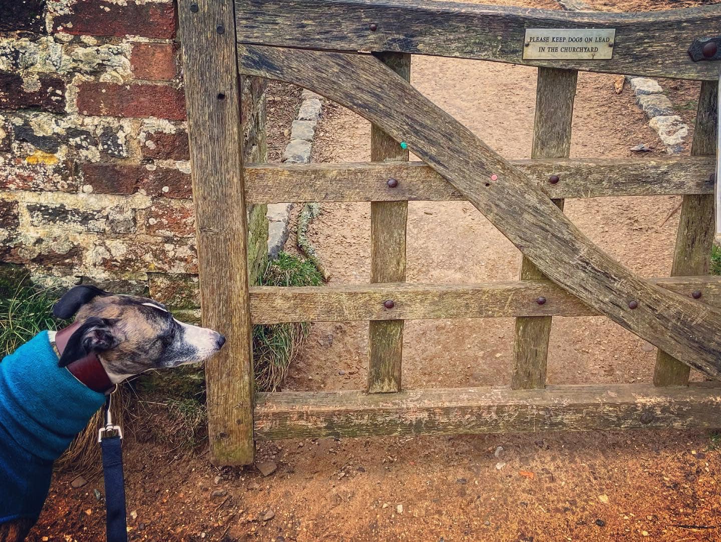
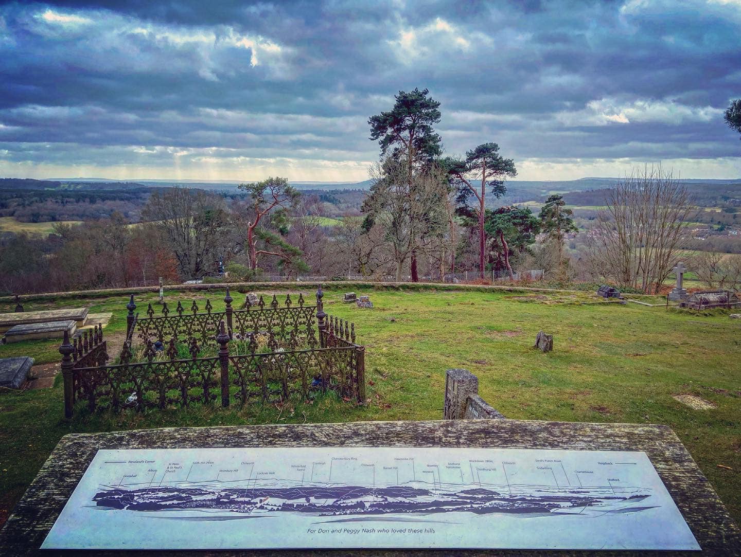
Pass a well placed bench and, if your dog is off lead, pop it back on in order to continue straight through the little gate into the churchyard. Walk past the church (more benches) and follow the little path past a viewing point (on your left), which explains the view from Gomshall and Albury over to the left to Godalming and the Devil’s Punch Bowl to the right (close up of viewpoint).
When you’re done, take the steps directly opposite the three benches down between the two tall bushes and through the gate. Continue straight ahead down the sandy path, passing a closed reservoir on the right. At the cross paths immediately after the reservoir, turn left and walk along the contour of the hill.

After some way, as it curves to the left, you’ll come to a marker post on the right. Turn right here and head downhill on the left of the two small paths. At the end, with the fallen tree root ball in front of you, turn right. This gullied path goes downhill and after a while there are bricks and stones in it so take care as it’s quite uneven.
The way will bend sharply to the right and then a little further on you’ll need to duck under a fallen tree before the path goes along the top of a field. At the corner, pass the gate on the right and follow the path round to the left, then take the steps off up to the right, go through the kissing gate and follow the path round to the left.
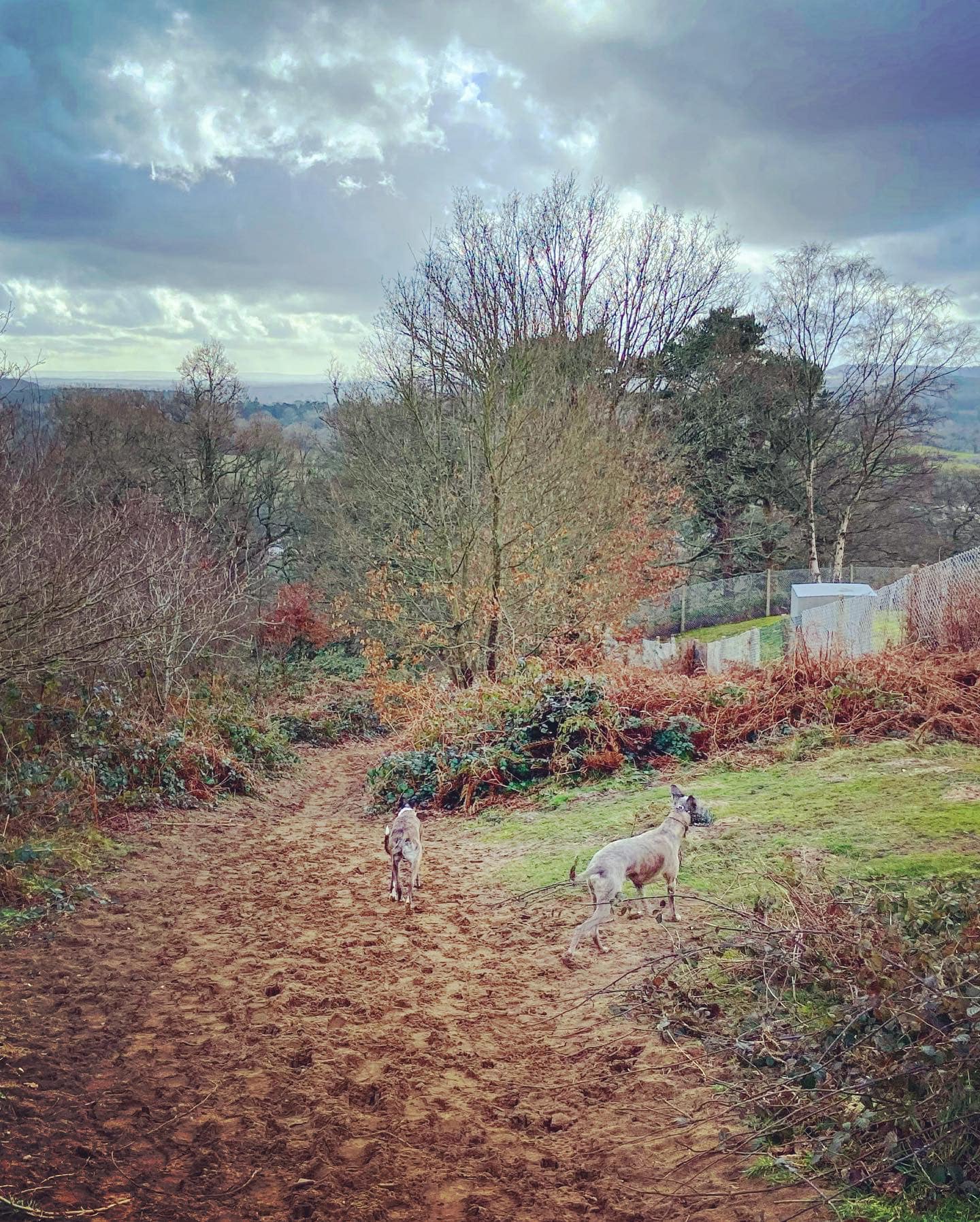
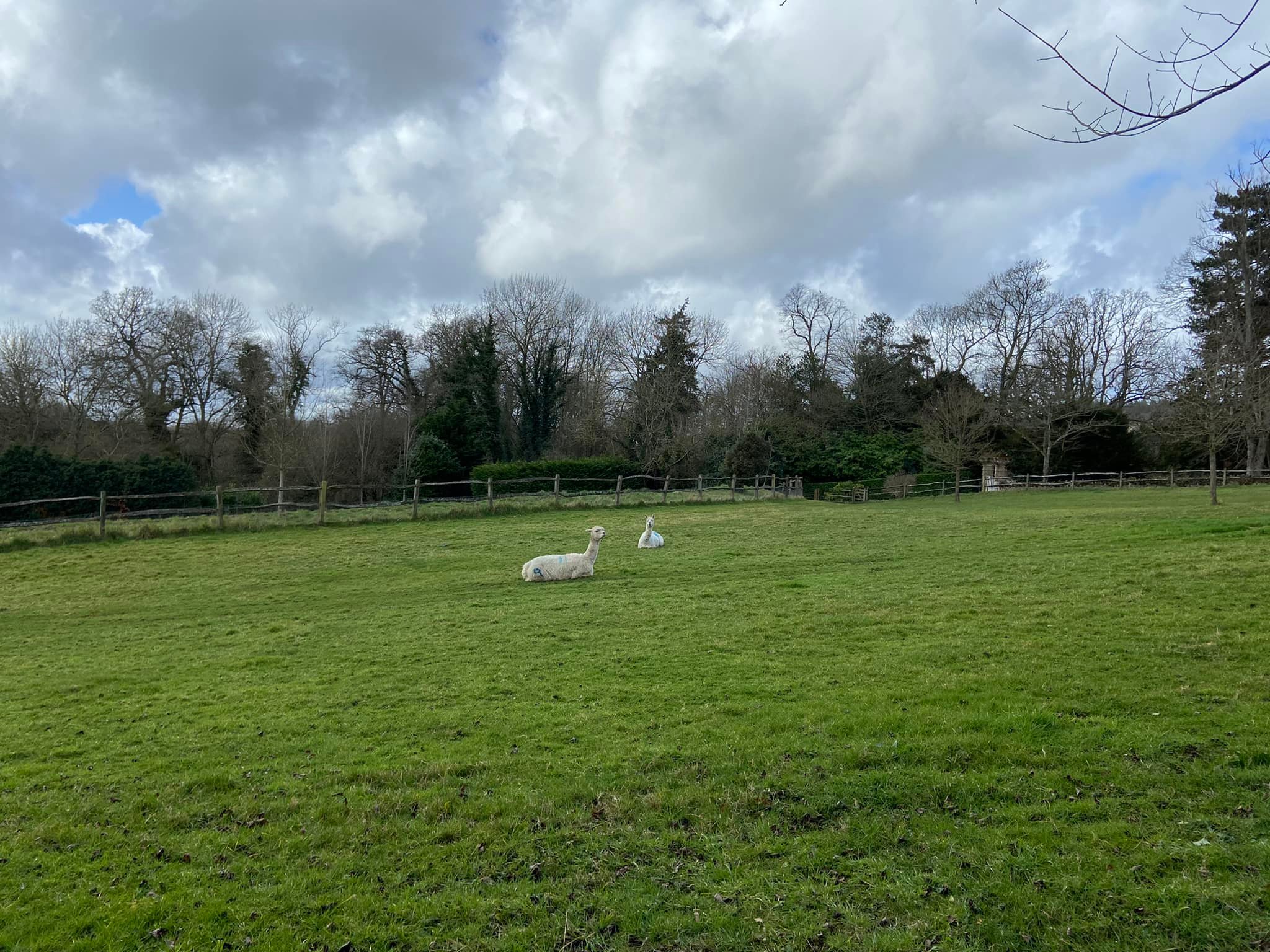
At the end of this path, turn left and you will pass Chilworth Manor house. When you get to the driveway to the house, where there are a couple of finger posts, continue straight ahead down the path sign posted towards the Percy Arms and the Gunpowder Mills. This path has the vineyard on its left and there are alpacas in the field to the right.
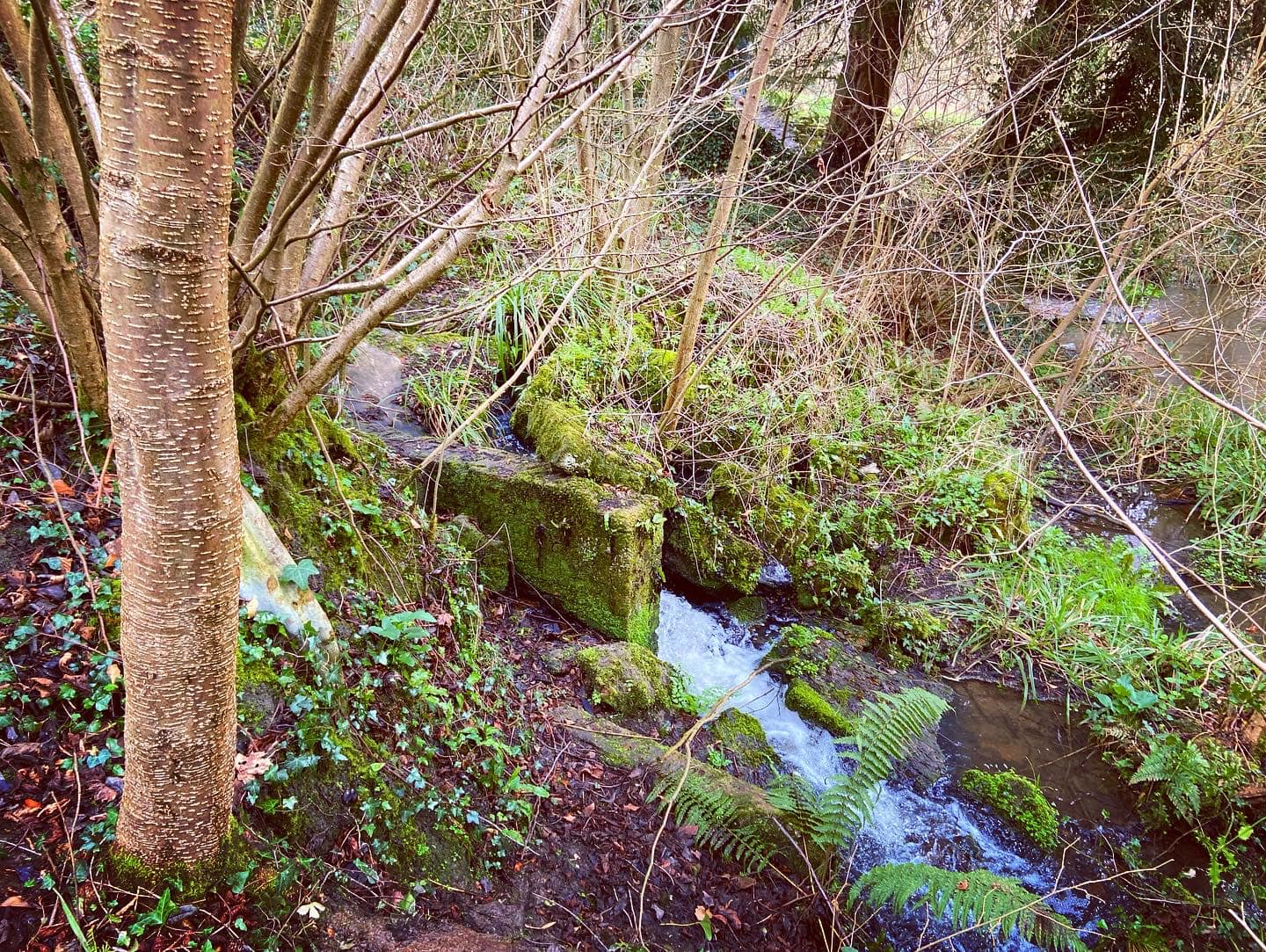
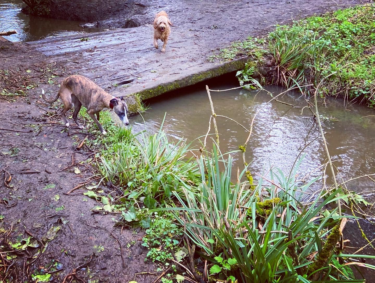
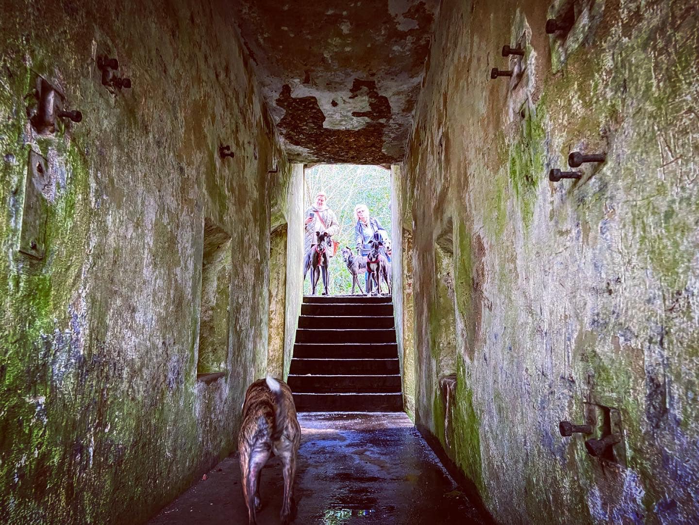
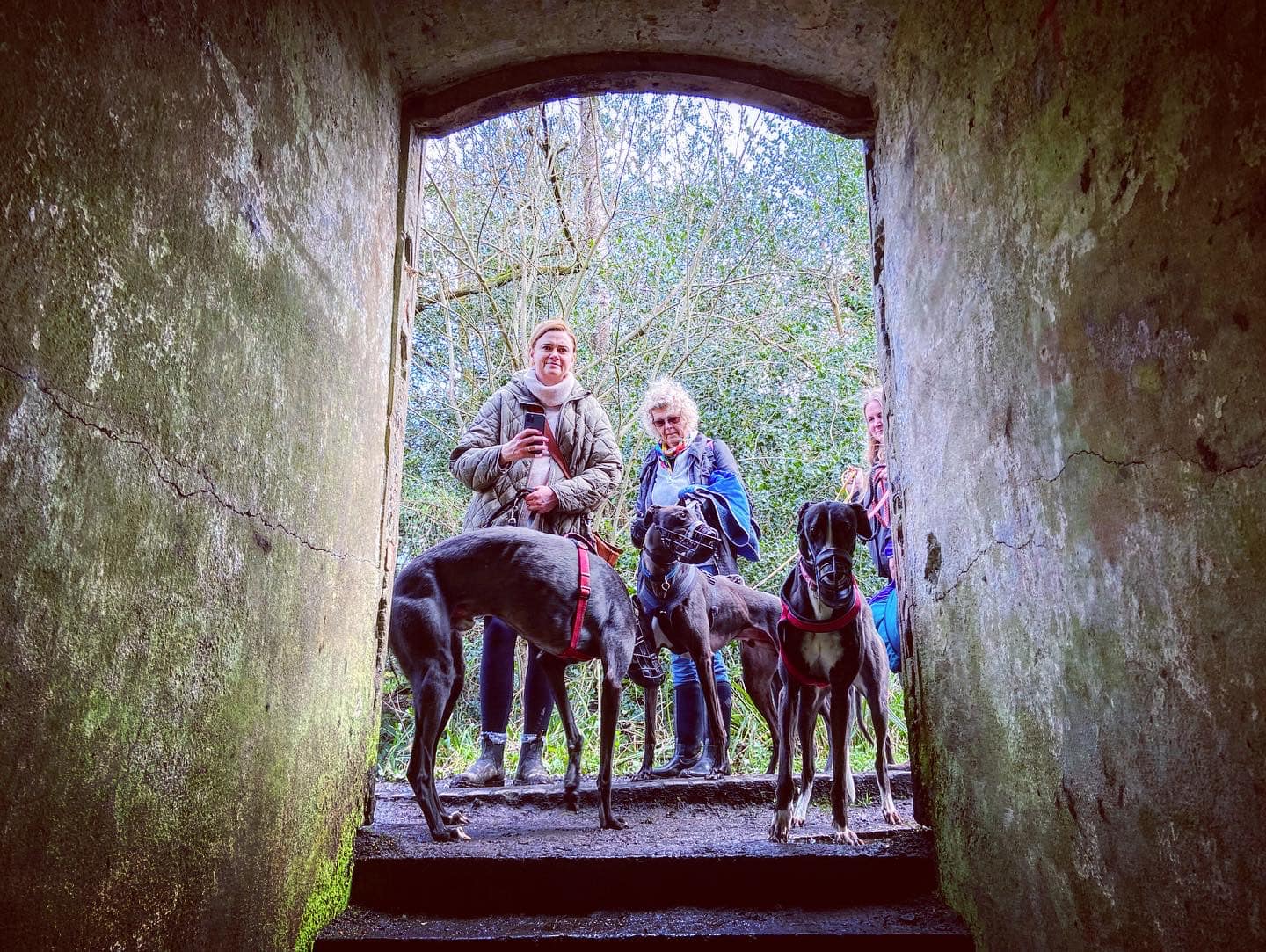
The path heads into trees. Go down the steps into the grounds of the old Chilworth Gunpowder Milles, and follow the way round to the left and over the stream. Walk between the two water channels and over the wooden plank bridge, then turn right.
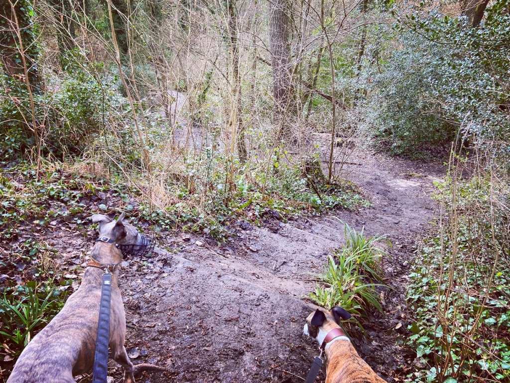
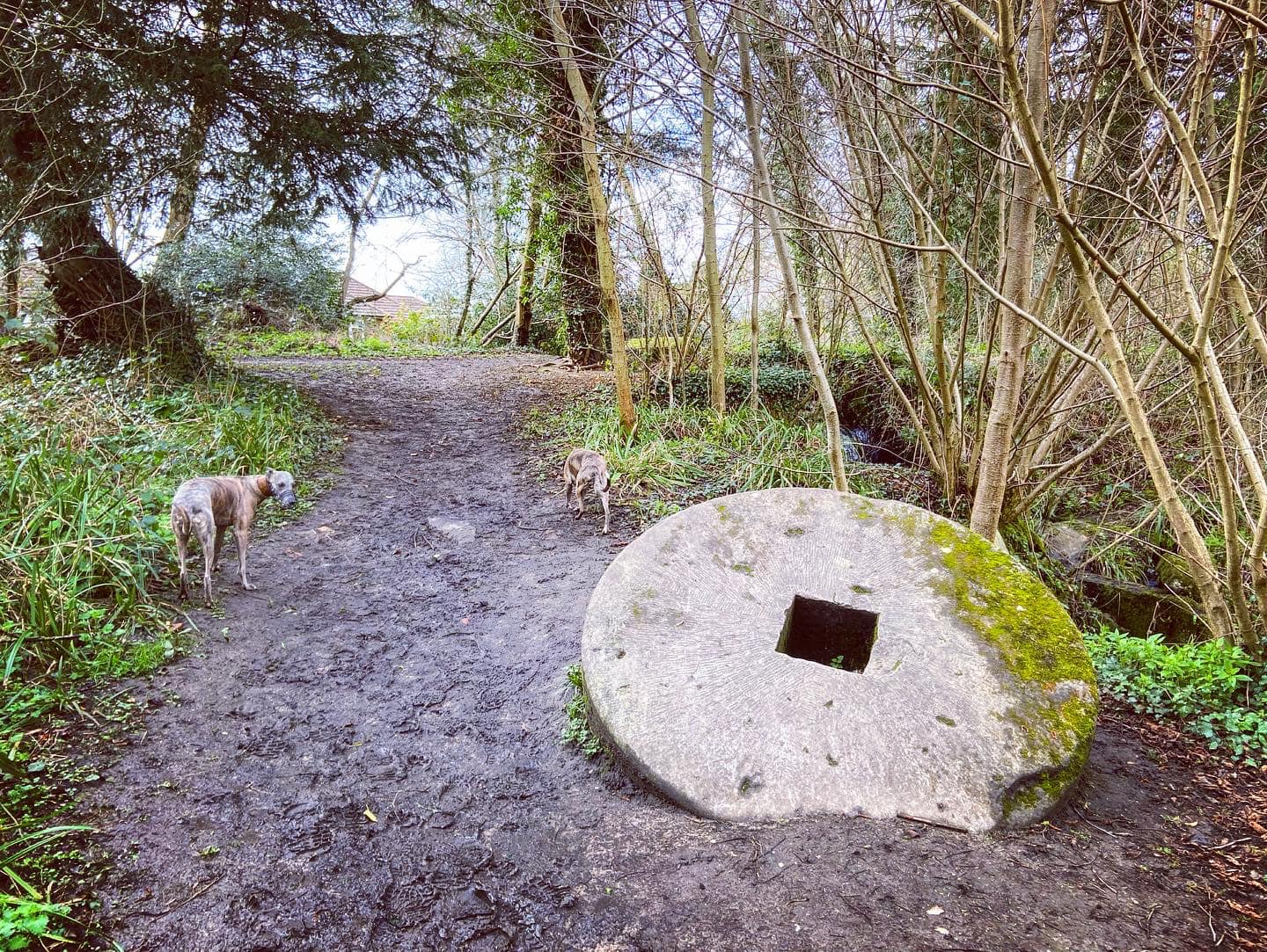
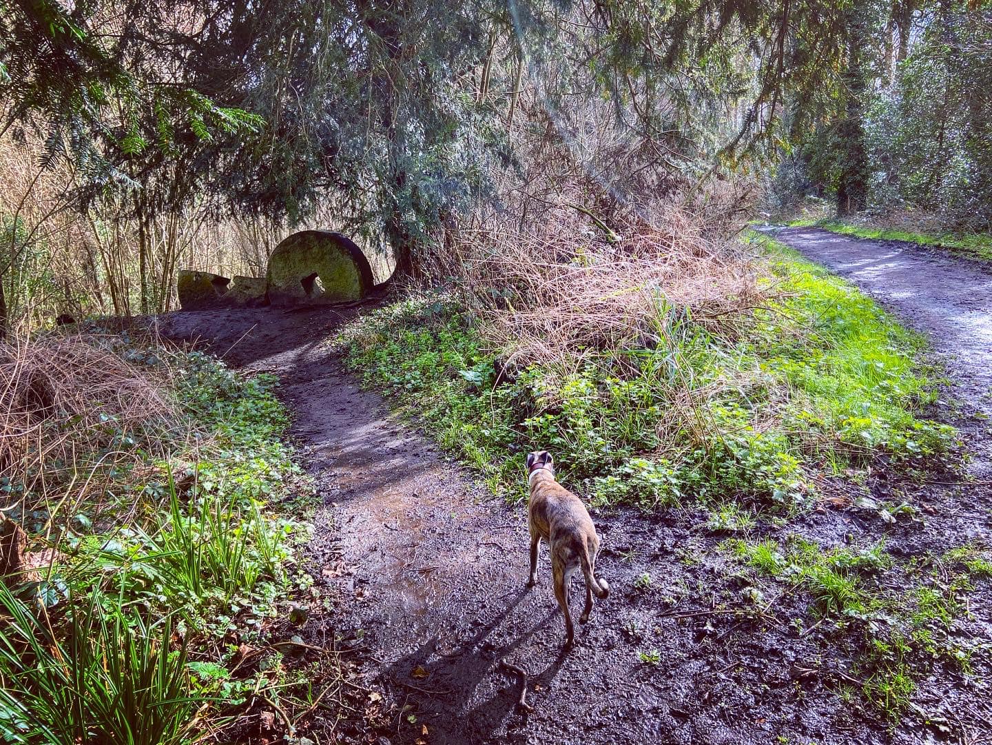
Wind alongside the streams until you come to the end of the path, passing round mill stones on the right just by a waterfall. During this part of the walk, you may want to refer to this leaflet (also as a PDF), which has loads of information about the area.
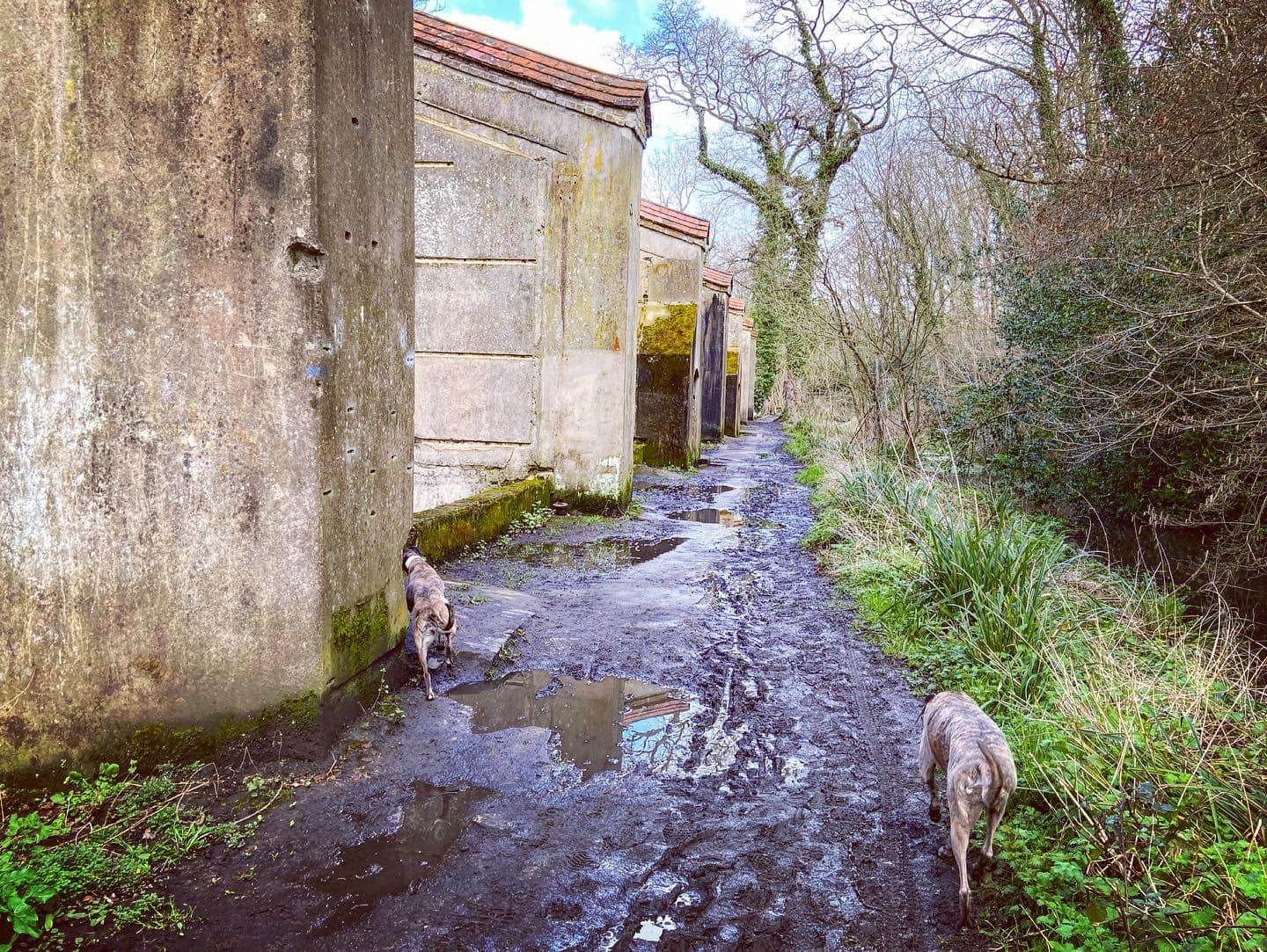
At the T junction by the waterfall, turn left. Almost immediately, you’ll see two more mill stones on the left. Each weighing about three tons, they lie where a mill collapsed. A little further on, you’ll pass a former steam incorporating mill where a series of round mill stones are lined along the path. According to the leaflet, here there are also two bedstones, the remains of a boiler house chimney and a steam engine bed.
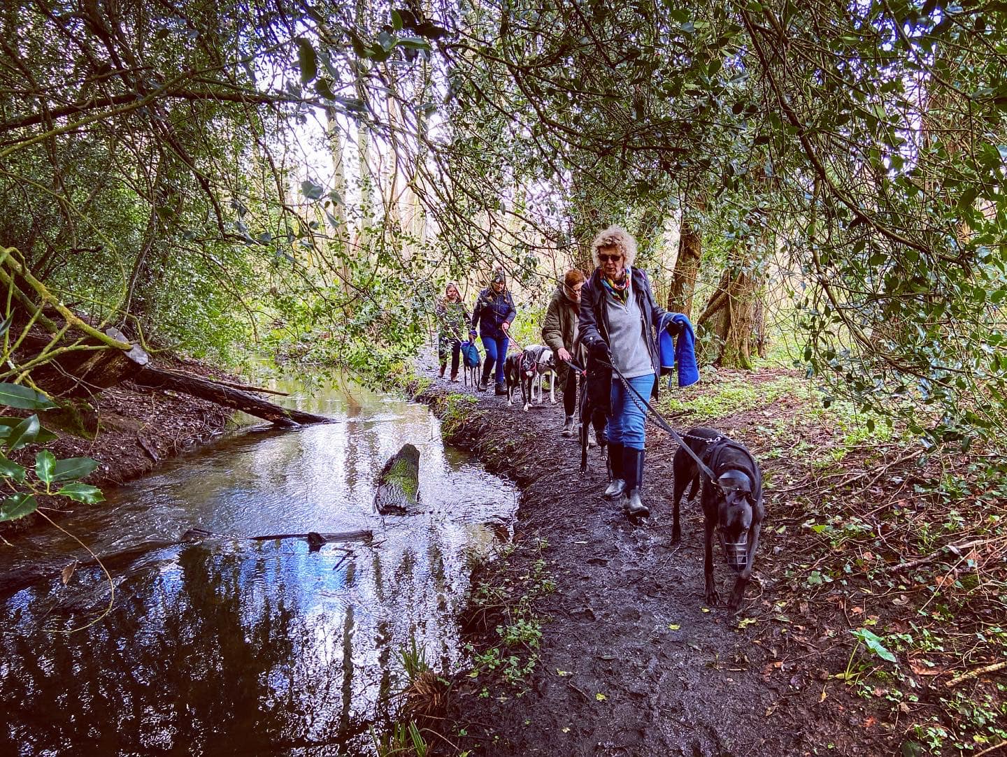
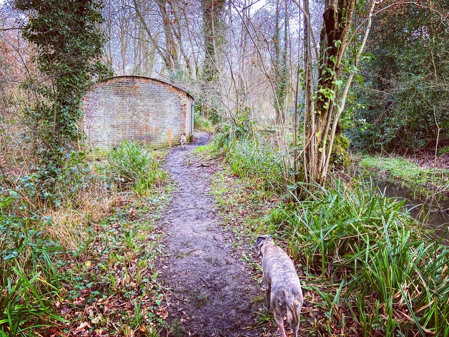
Continue straight until you reach the picnic area. By the information board, turn right and walk towards the wooden bridge, but turn left onto the little waterside path just before the bridge. On your right there’s an old swing bridge. Walk along the side of the stream and pass an Expense Magazine on the left. This was used to store materials between each stage of manufacturing.

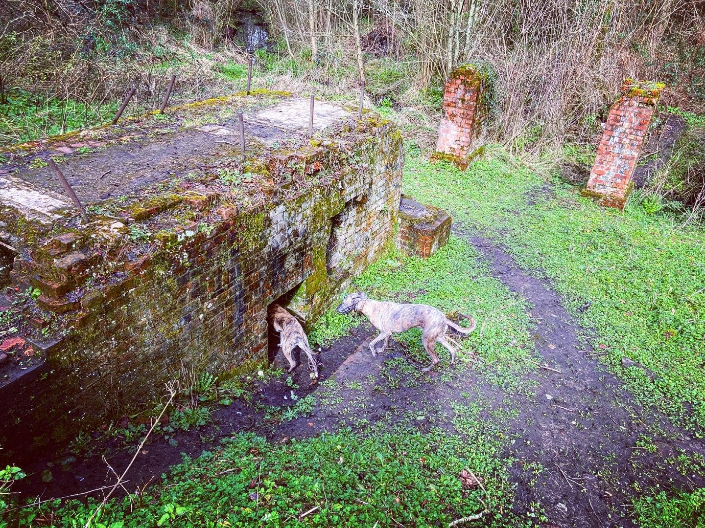
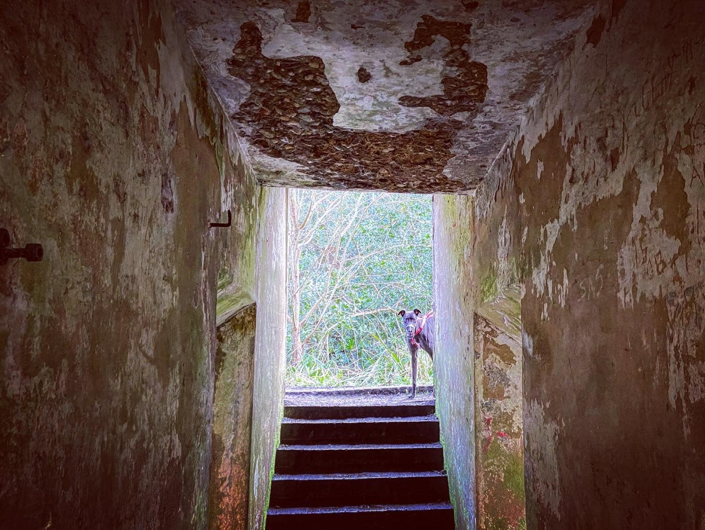
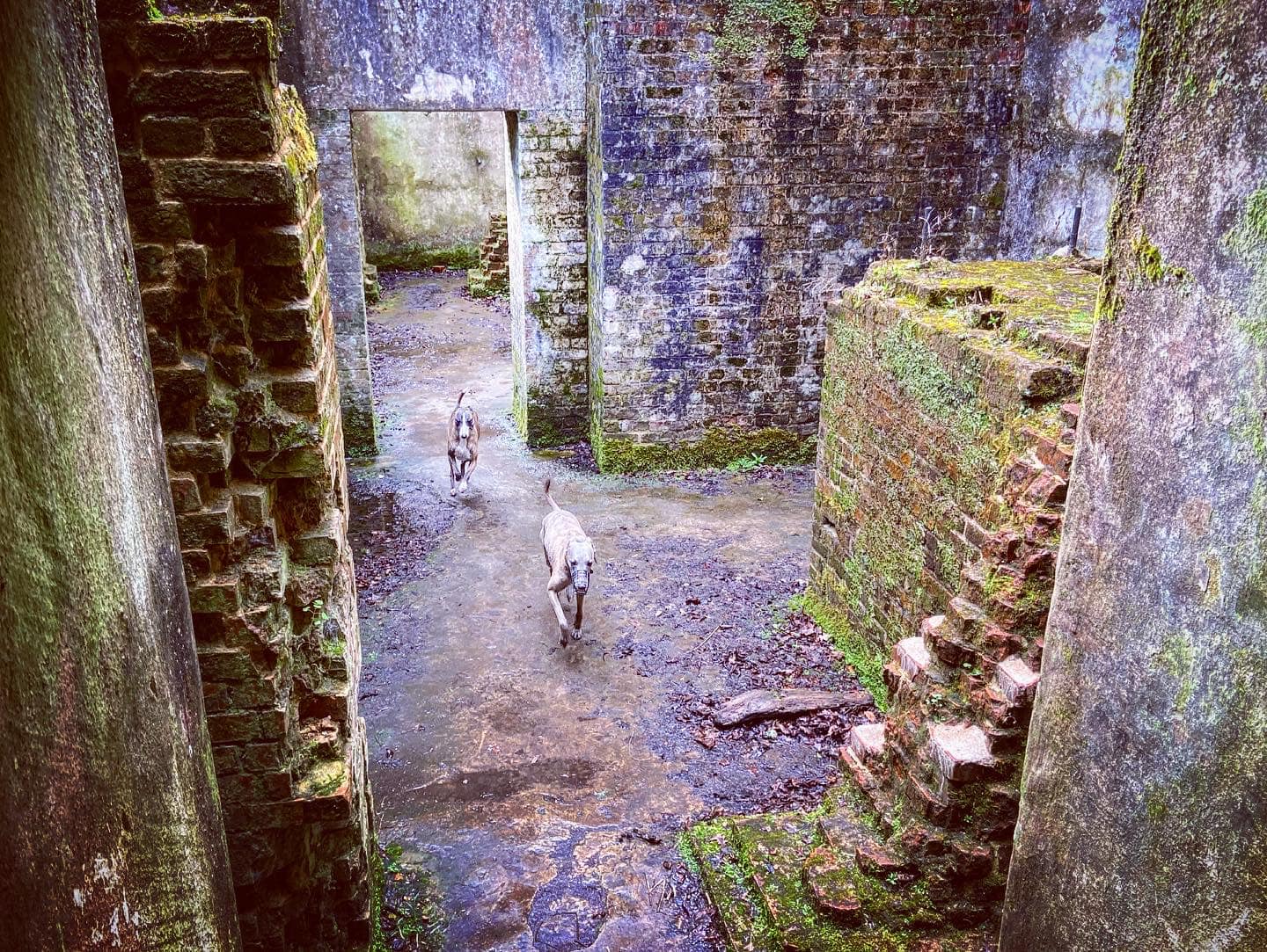
When you reach Sam’s snail – dedicated to a little girl who, according to its plaque, used to love to play and look for snails here, continue straight ahead, passing the steam incorporated mills on the left. You can go into the ruins here and have a nosy around.
These date back to the 1880s and you can see the underfloor gear room and blast proof walls. A raised wooden floor would have been near to today’s ground level where materials would have been taken in. Lightweight roofing and front screens were designed to direct any blast away from the building and machinery within. There was also a drenching mechanism in place that automatically doused all bays in the event of an explosion in any of the others. As I noted on my St Martha’s Hill page, explosions in an older version of these works, which had less sophisticated safety mechanisms, caused the collapse of part of St Martha’s Church in 1745.
When you’re done exploring the ruins, continue to the end of the path, pass the information board and turn left up the lane. Pass Longfrey Farm and Longfrey Cottage (on the right) and head up the hill. At the junction of paths by the finger post, turn right on the Downs Link path.
Follow the path between the two fields, minding the barbed wire, and at the end turn right, ignoring a small set of steps up to the left. Walk along the top edge of the field and then you’ll go under a fallen tree trunk and between trees. The path steepens and bends around to the left.
You’ll pass a small blue sign indicating that you are back on St Martha’s hill. Continue ahead and ignore the path that comes off to the right that heads down the slope. Just keep straight until you get to the main path across St Martha’s Hill by the stone Downs Link marker. Turn right and take the main path past the WWII pill box and straight back down to the car park.

Walk 2 – without visiting the church
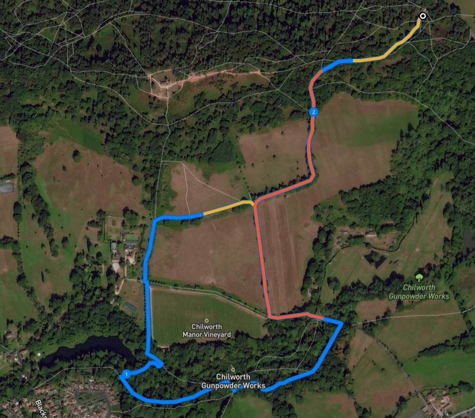
Here is a Footpath app route from the free car park on Guildford Lane to Chilworth Gunpowder Mills. Also on AllTrails. This route takes you a short way up the hill towards the church, then down through rolling fields to skirt the top of Chilworth Manor vineyard before you turn into the grounds of Chilworth Gunpowder Mills. You’ll follow the streams and see the ruins before looping back to the car park.
Length: approximately 2.2 miles/3.6 km
Terrain: Hilly! This is a pretty challenging walk in parts. The soil is quite sandy and there are some sections through the woods that can get muddy. Wear decent walking boot/shoes with good grip – the terrain can be uneven underfoot.
Stiles/kissing gates? No stiles, no kissing gates
At the back of the Guildford Lane car park, ignore the wooden vehicle gate – head by the green poo bin to information board and turn right on the sandy path.
Continue ahead where other paths join this one and it widens out. You should notice to your left, on an adjoining path, that there’s a finger post. The path heads gently uphill and round to the right. Over to your left, you’ll see rolling fields between where you are and the village of Chilworth.
Pass a WW2 pillbox, part of the North Downs defence line of invasion as you reach the next finger post, which is by the Downs Link marker stone. Take the left-hand path that heads down slope.
This path is quite steep in places so take care. You’ll head down through trees and then along the top edge of a field. At the corner of the field, where the path bends down to the left, ahead and slightly right, there’s a small set of steps. Take these and walk along another field boundary. At the T-junction at the end of this field, where there is a fingerpost pointing back the way you came and Chilworth Manor house right in front of you, turn left. When you get to the driveway to the house, where there are a couple of finger posts, continue straight ahead down the path sign posted towards the Percy Arms and the Gunpowder Mills. This path has the vineyard on its left and there are alpacas in the field to the right.
The path heads into trees. Go down the steps into the grounds of the old Chilworth Gunpowder Milles, and follow the way round to the left and over the stream. Walk between the two water channels and over the wooden plank bridge, then turn right.
Wind alongside the streams until you come to the end of the path, passing round mill stones on the right just by a waterfall. During this part of the walk, you may want to refer to this leaflet (also as a PDF), which has loads of information about the area.
At the T junction by the waterfall, turn left. Almost immediately, you’ll see two more mill stones on the left. Each weighing about three tons, they lie where a mill collapsed. A little further on, you’ll pass a former steam incorporating mill where a series of round mill stones are lined along the path. According to the leaflet, here there are also two bedstones, the remains of a boiler house chimney and a steam engine bed.
Continue straight until you reach the picnic area. By the information board, turn right and walk towards the wooden bridge, but turn left onto the little waterside path just before the bridge. On your right there’s an old swing bridge. Walk along the side of the stream and pass an Expense Magazine on the left. This was used to store materials between each stage of manufacturing.
When you reach Sam’s snail – dedicated to a little girl who, according to its plaque, used to love to play and look for snails here, continue straight ahead, passing the steam incorporated mills on the left. You can go into the ruins here and have a nosy around.
These date back to the 1880s and you can see the underfloor gear room and blast proof walls. A raised wooden floor would have been near to today’s ground level where materials would have been taken in. Lightweight roofing and front screens were designed to direct any blast away from the building and machinery within. There was also a drenching mechanism in place that automatically doused all bays in the event of an explosion in any of the others. As I noted on my St Martha’s Hill page, explosions in an older version of these works, which had less sophisticated safety mechanisms, caused the collapse of part of St Martha’s Church in 1745.
When you’re done exploring the ruins, continue to the end of the path, pass the information board and turn left up the lane. Pass Longfrey Farm and Longfrey Cottage (on the right) and head up the hill. At the junction of paths by the finger post, turn right on the Downs Link path.
Follow the path between the two fields, minding the barbed wire, and at the end turn right, ignoring the small set of steps up to the left that you took earlier. From here, you’ll be re-tracing your outward route as you head back to the car park.
Walk along the top edge of the field and then you’ll go under a fallen tree trunk and between trees. The path steepens and bends around to the left.
You’ll pass a small blue sign indicating that you are back on St Martha’s hill. Continue ahead and ignore the path that comes off to the right that heads down the slope. Just keep straight until you get to the main path across St Martha’s Hill by the stone Downs Link marker. Turn right and take the main path past the WWII pill box and straight back down to the car park.
