Page contents
About
Gallery
Parking
Poo bins?
Self-guided walk
About
The Devil’s Punch Bowl, part of the Hindhead Commons, is a large natural amphitheatre near Thursley and Hindhead, which is a Site of Special Scientific Interest and managed by the National Trust.
Its name dates back to at least 1768, when it was included on a map of the area by celebrated surveyor and cartographer John Rocque, most famous (apparently) for producing a detailed map of London in 1746.
But from where did this strange name originate? As appears to be typical of these oddities, there’s a proper weird story behind it, one which is almost certainly not true.
Legend says that the Devil lived at the ‘Devil’s Jumps’, three hills near Churt (a walk taking in one of the hills, Stony Jump, is here). He would torment Thor, God of Thunder, who lived at Thor’s Lie (Thursley), by jumping from hill to hill (as noted on my post about Frensham Little Pond). Thor was prone to throwing things around when in a tizzy so it should come as no surprise to learn that the boulder of Frensham Little Pond fame was not a one-off and he would try to strike the Devil with thunder and lightning. On one occasion, he scooped up a handful of earth and hurled it at him and the Devil’s Punch Bowl is the hollow that remained.
As if one daft story isn’t enough, there’s another. This one goes that back in the Middle Ages the Devil was irked at all the churches being built around Sussex so he decided to dig a channel from the English Channel through the South Downs in order to flood the area. While digging, he flung huge lumps of earth around the place, each of which became a local landmark. Points of interest apparently caused by this all out tantrum include Chanctonbury Ring, Cissbury Ring and Mount Caburn. He got as far as the village of Poynings (Devil’s Dyke), where he was disturbed by – of all things – the crowing of a cock. The Devil thought that dawn was about to break and leapt into Surrey, creating the Devil’s Punch Bowl where he landed because he was a hefty evil being.
Reality, as is often the case, is less exciting, unless you have a Geography degree (which I do), in which case it’s rather interesting. The Punch Bowl is believed to have been created by natural spring water, which eroded the sandstone layer of soil covering the area, causing it to collapse and form this large dip in the landscape.
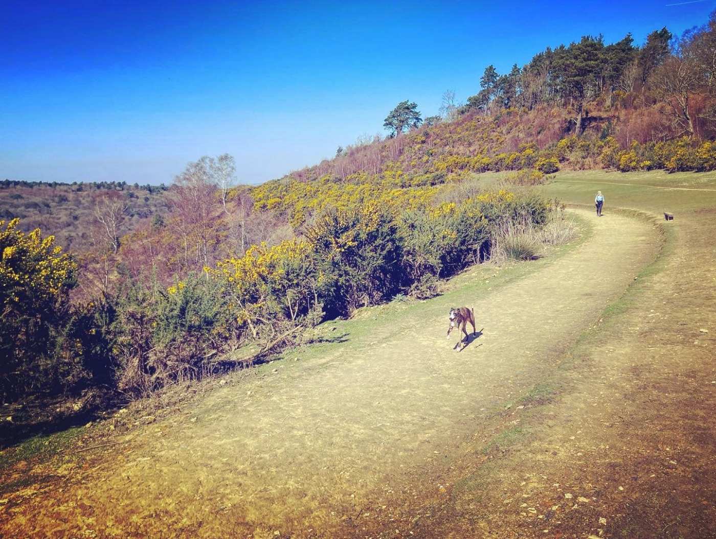
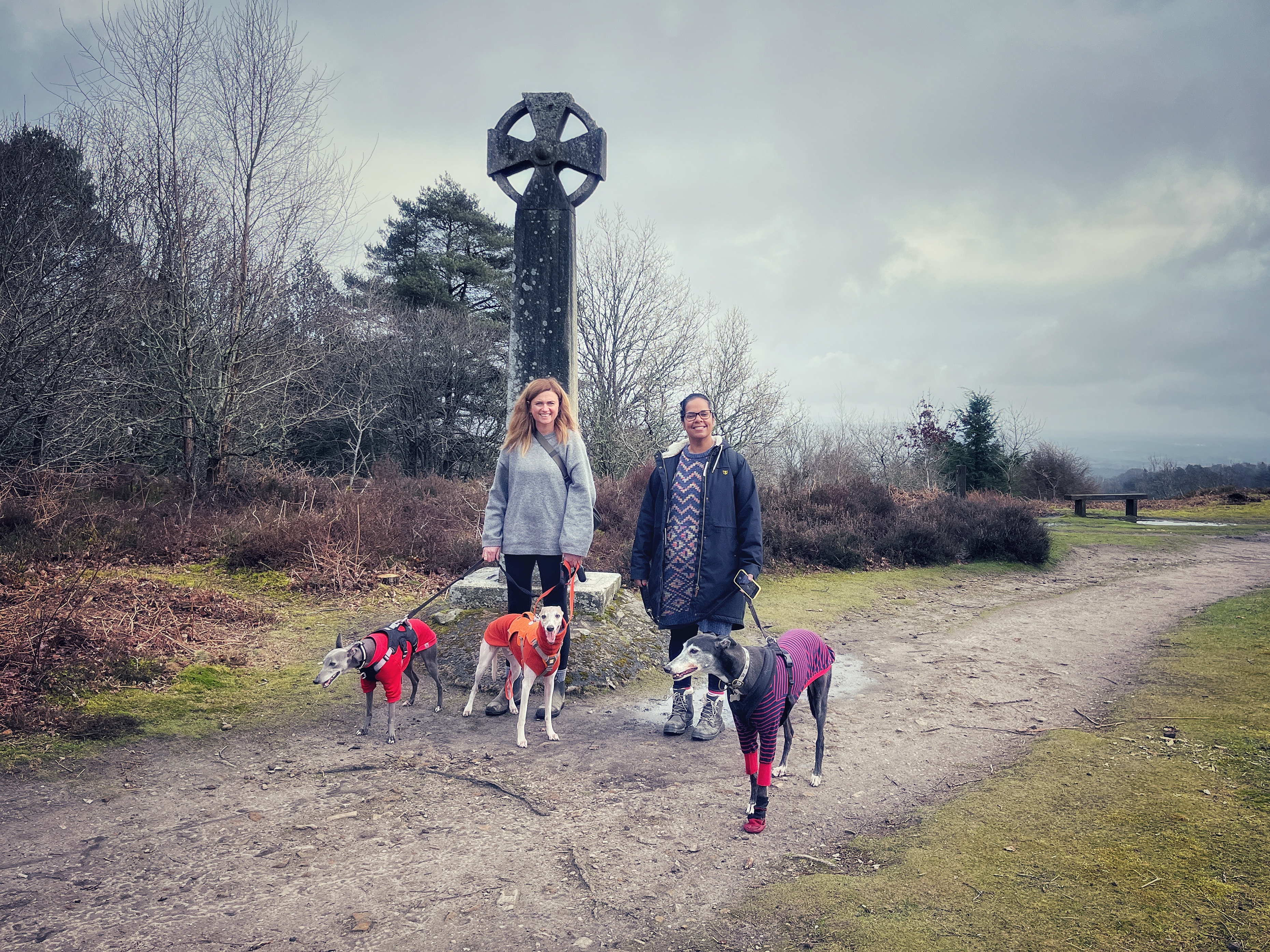
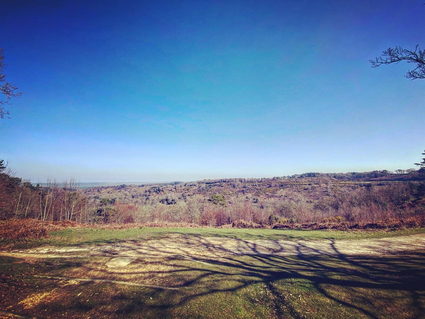
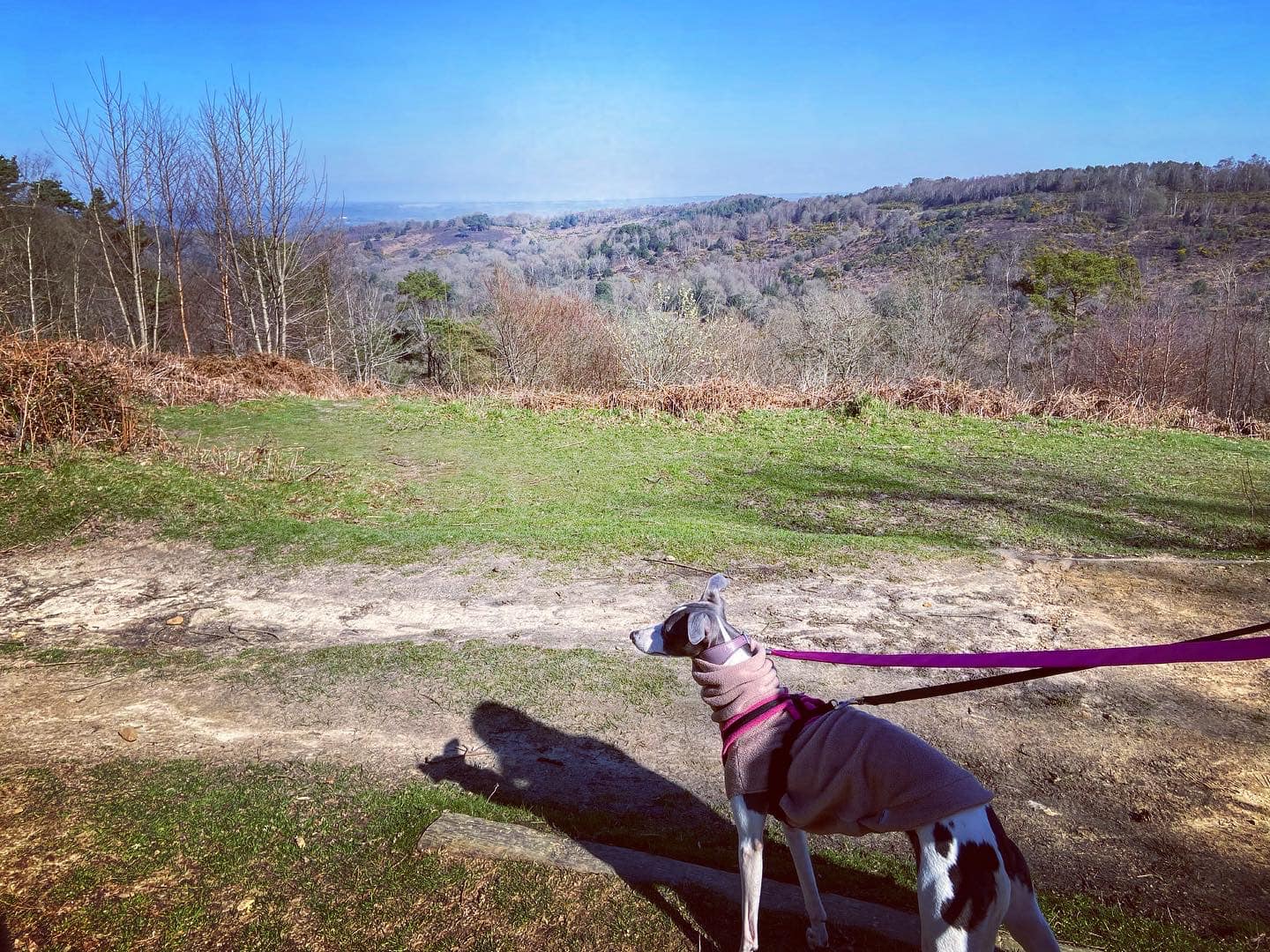
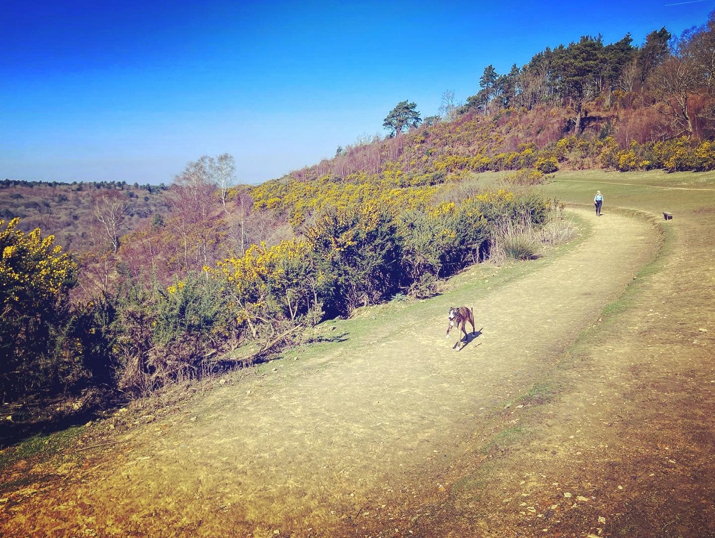
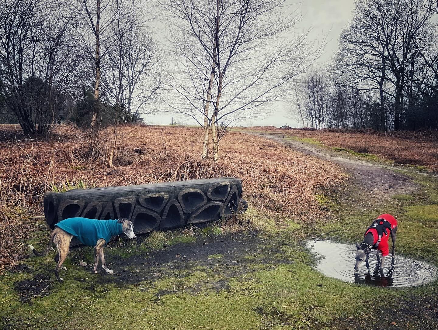
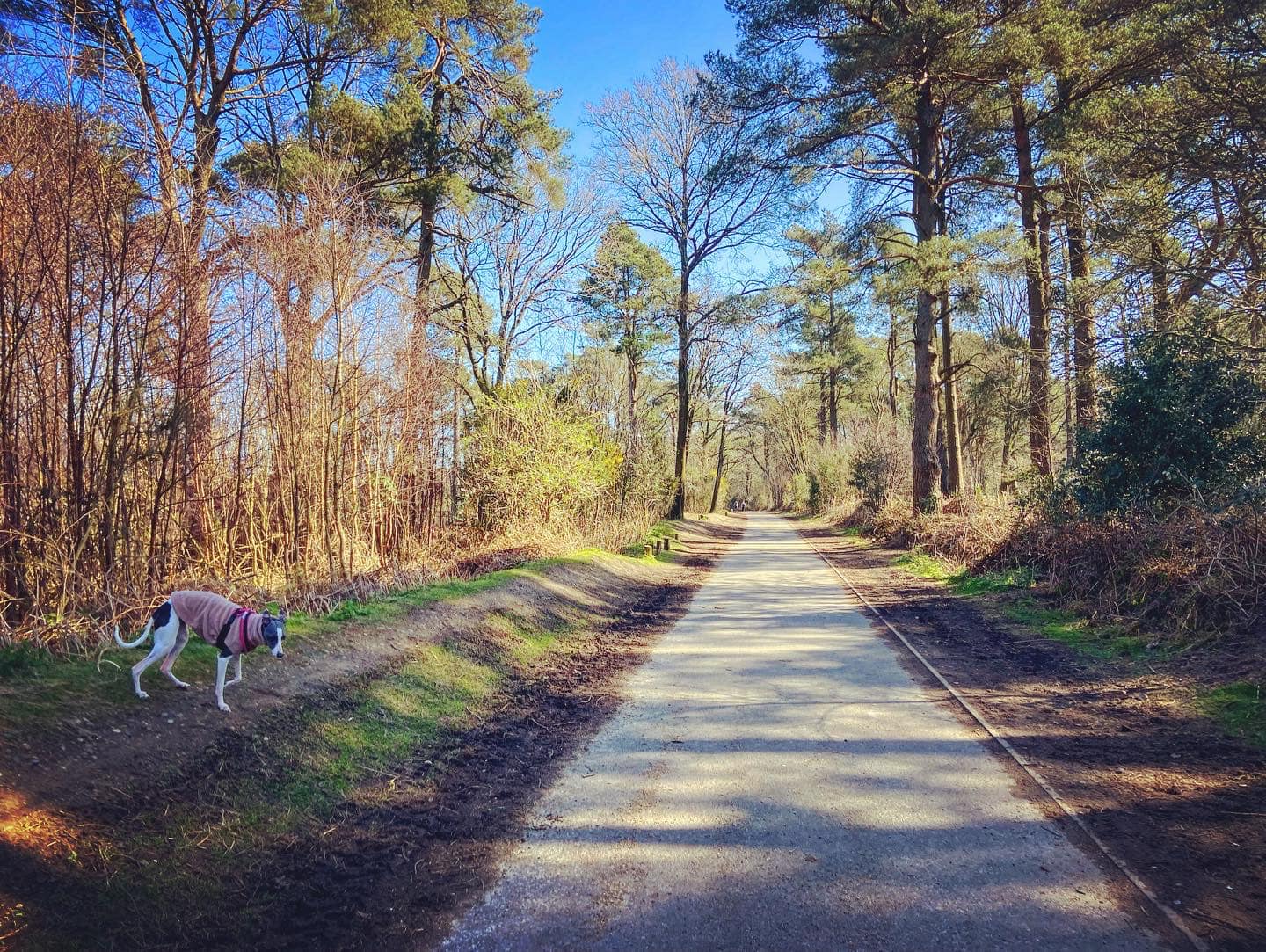
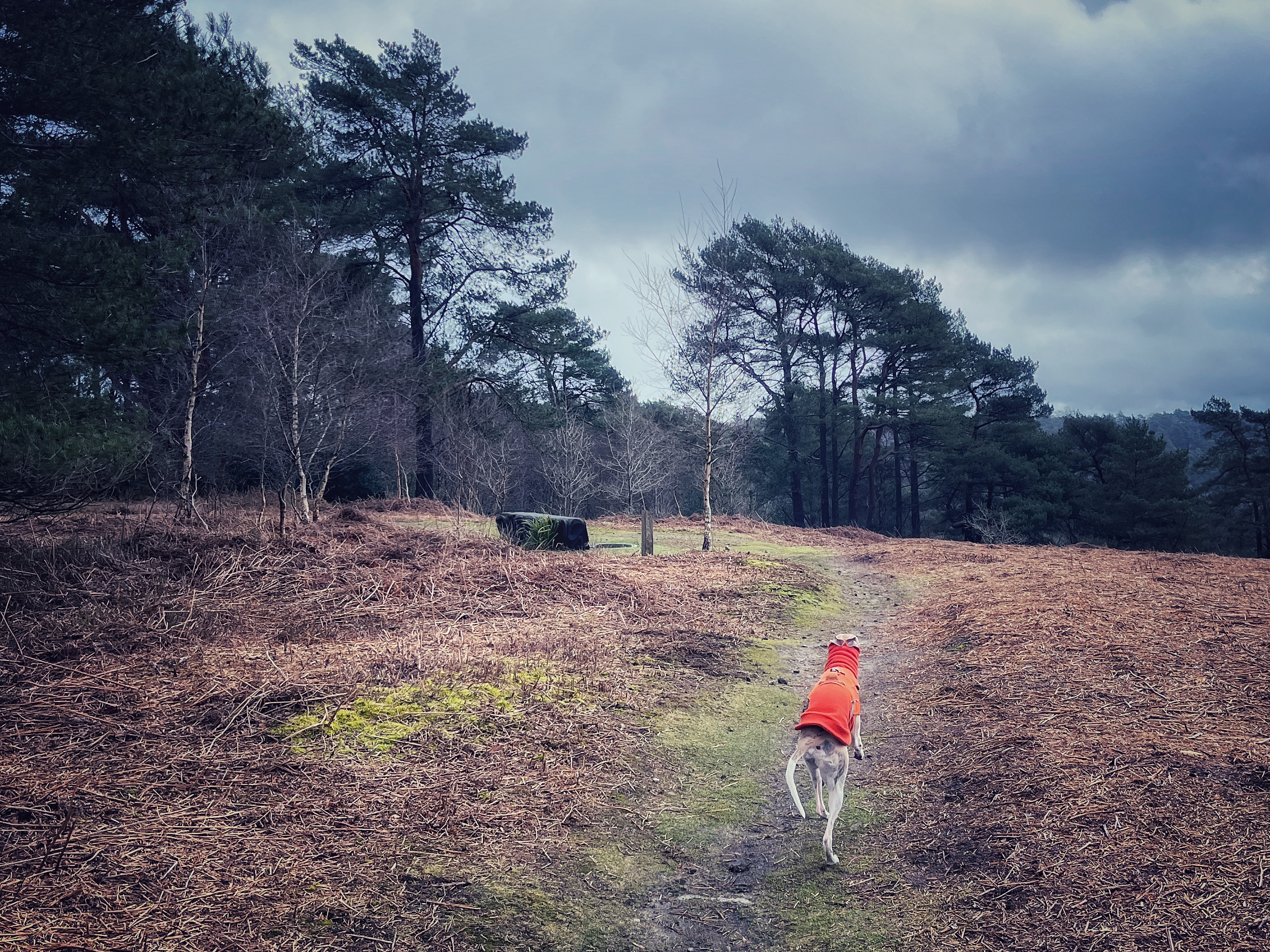
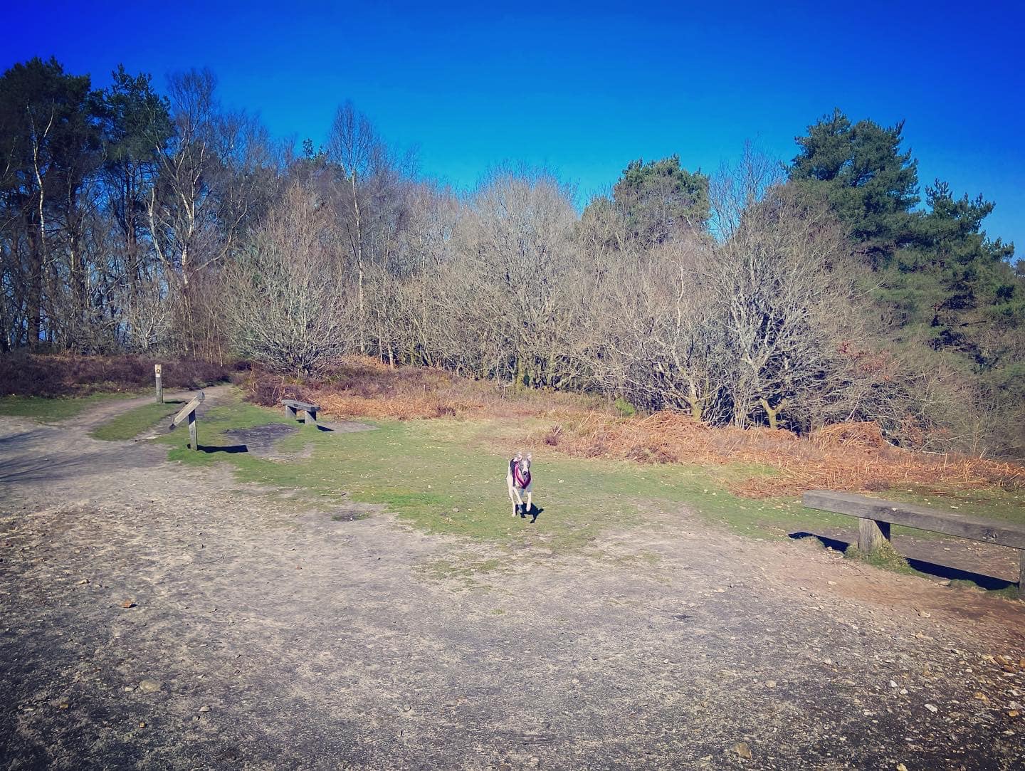
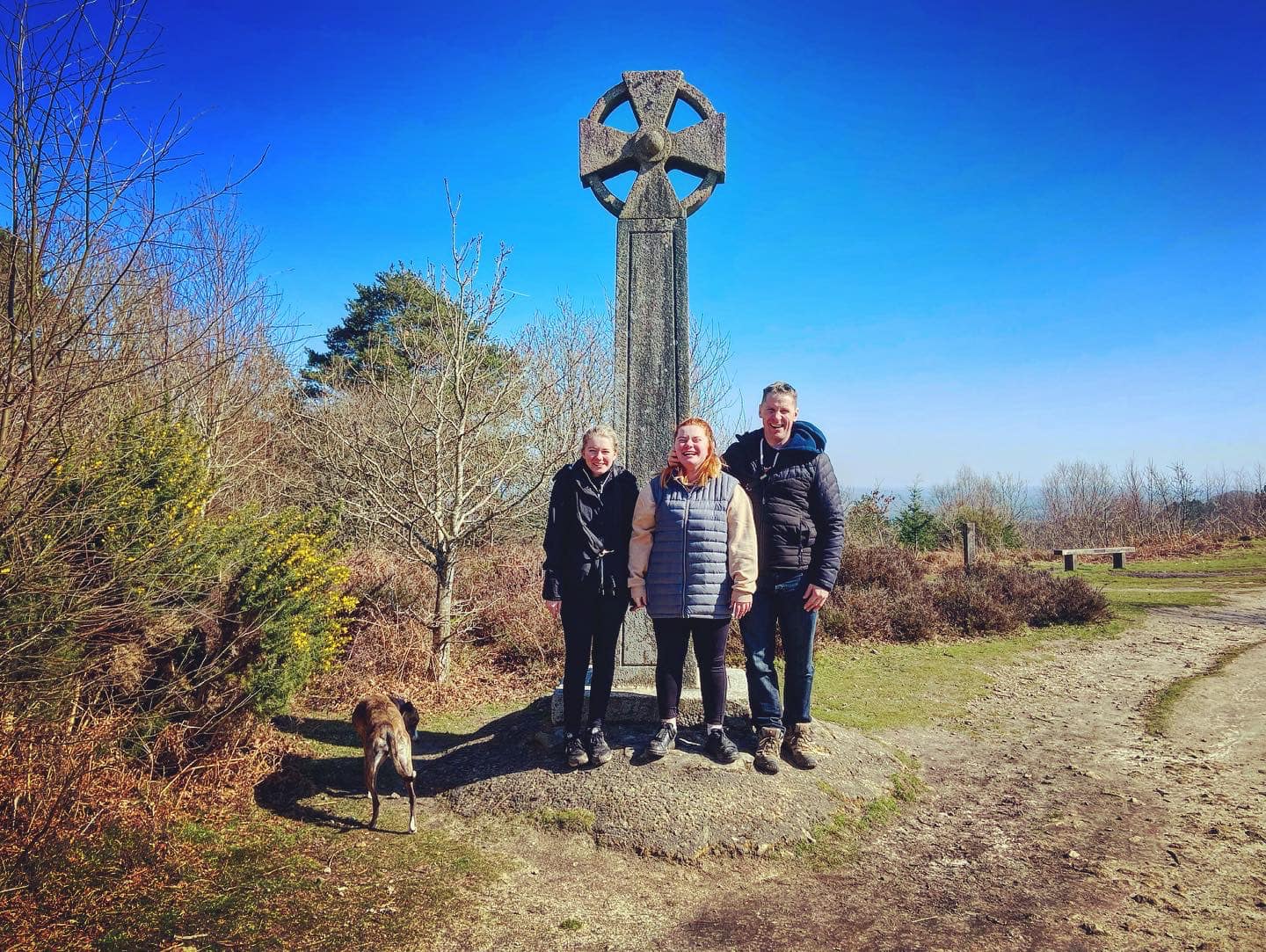
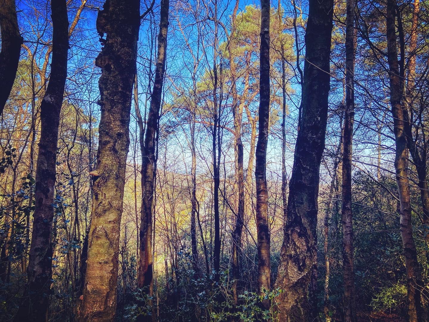
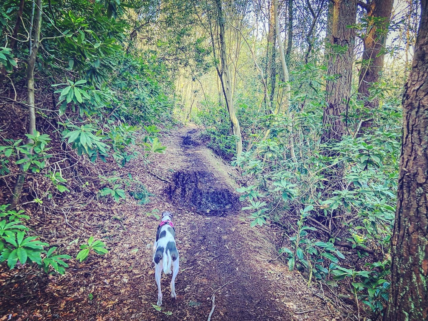
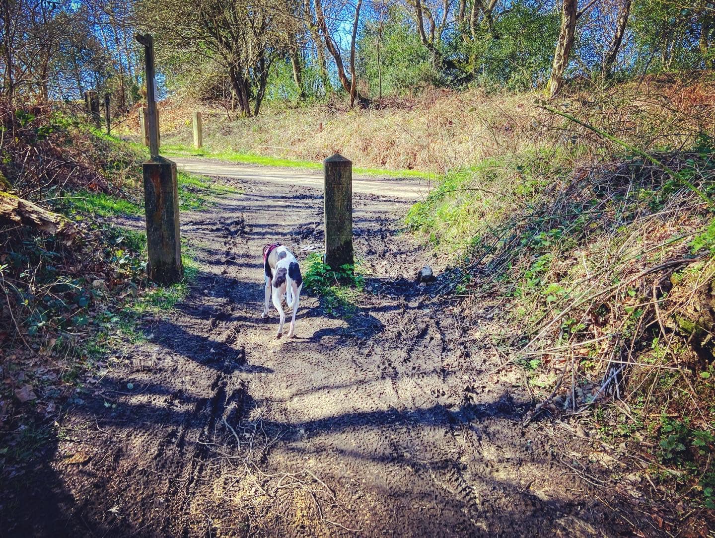
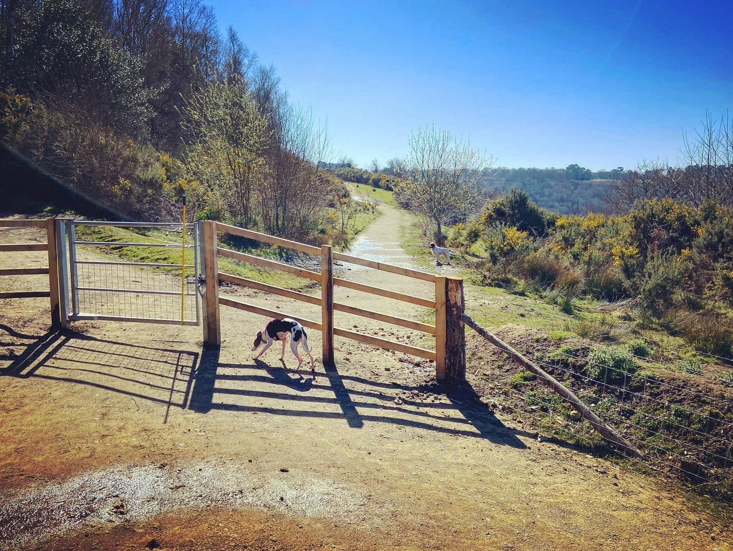
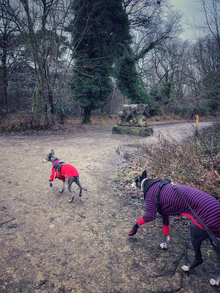
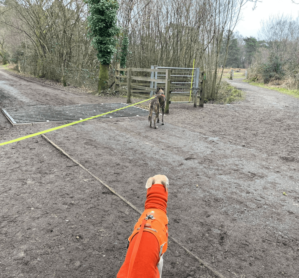
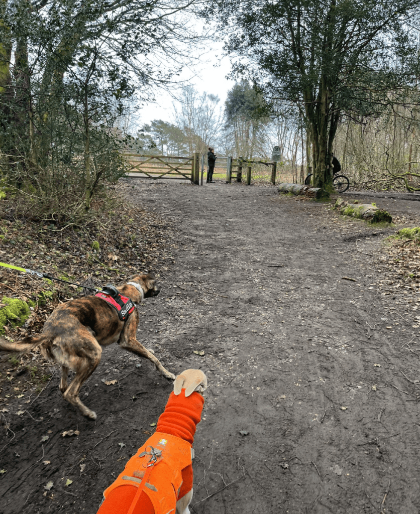
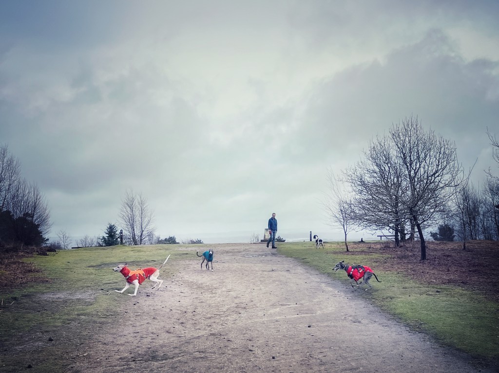
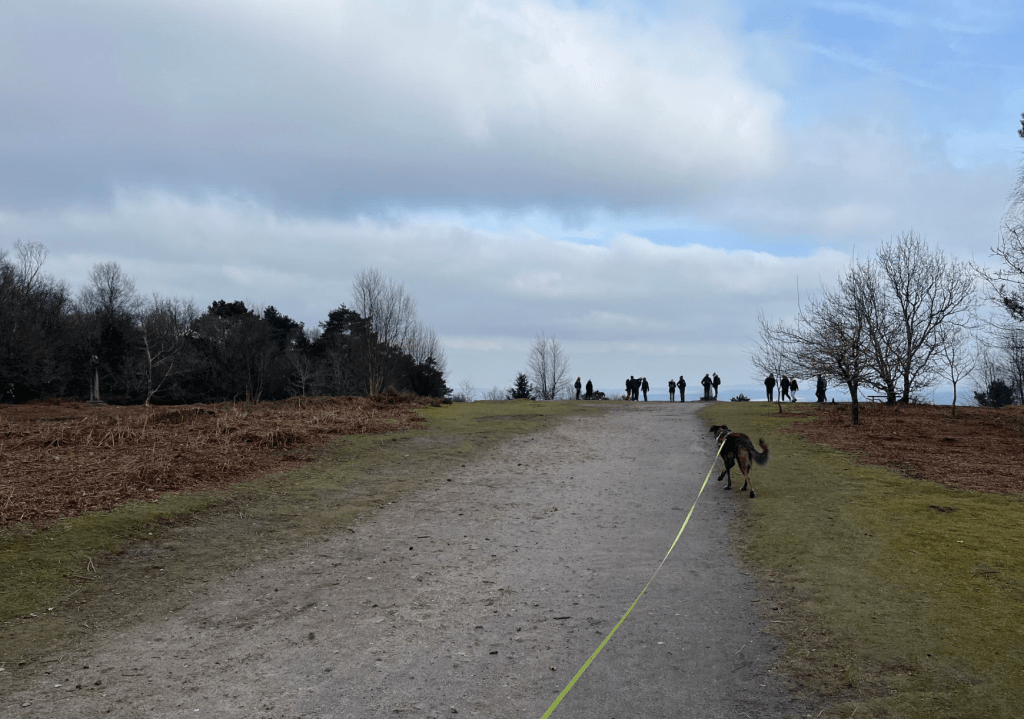
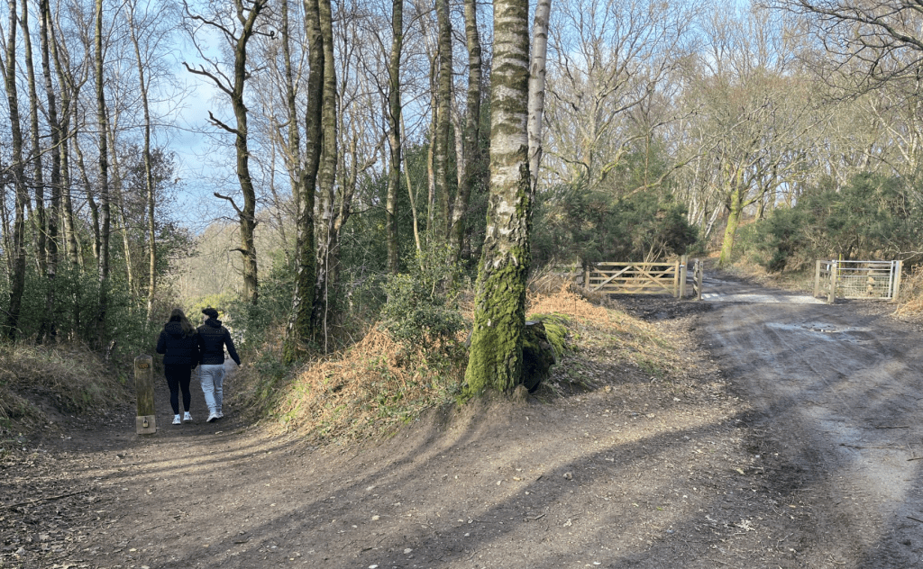
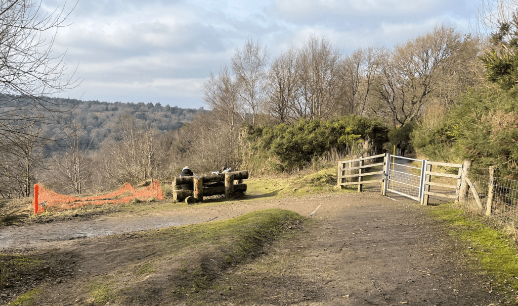
Gallery: What’s it like here?


Parking
Park in the National Trust car park. It is free for NT members (don’t forget your membership card though as you have to scan it at the machine to get a ticket) and non-members can pay by phone/app.
Poo bins?
At the car park
Self-guided walk
Here is a Footpath app route from the car park that takes in the view of the Devil’s Punch Bowl, then goes along the top ridge, past the Sailor’s Stone and onto Gibbet Hill, where you can admire the view in the other direction and see the Celtic Cross. You’ll return up to the car park via the gently ascending route of the former A3 before the dual carriageway bypass and tunnel were built. The route is also on AllTrails.
Length: approximately 2.2 miles/3.5 km
Terrain: This is a rather gentle walk, considering the Punch Bowl is a big ol’ dip with steep sides. Much of this walk is along surfaced paths.
Stiles/kissing gates? No stiles, no kissing gates
For info: The National Trust, which looks after the area, has marked out a number of other self-guided walks, which you can follow using this map and the markers around the site.

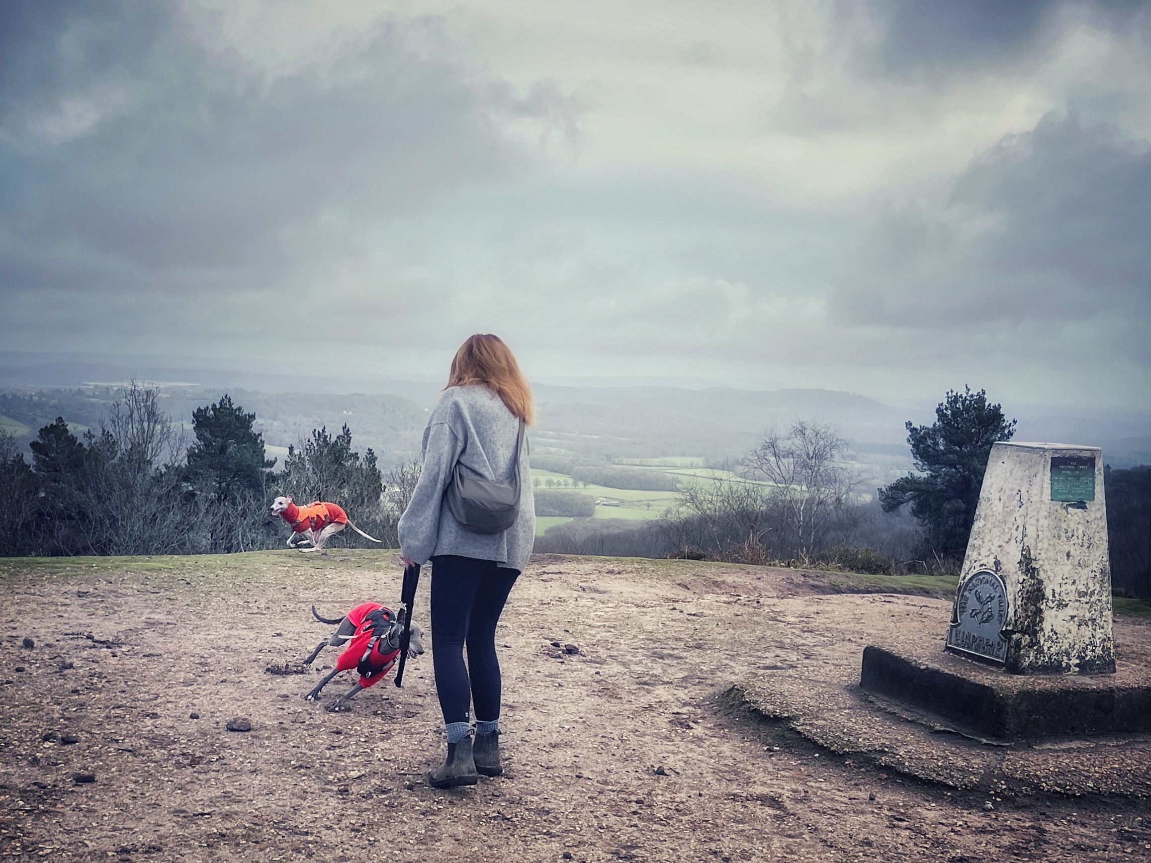
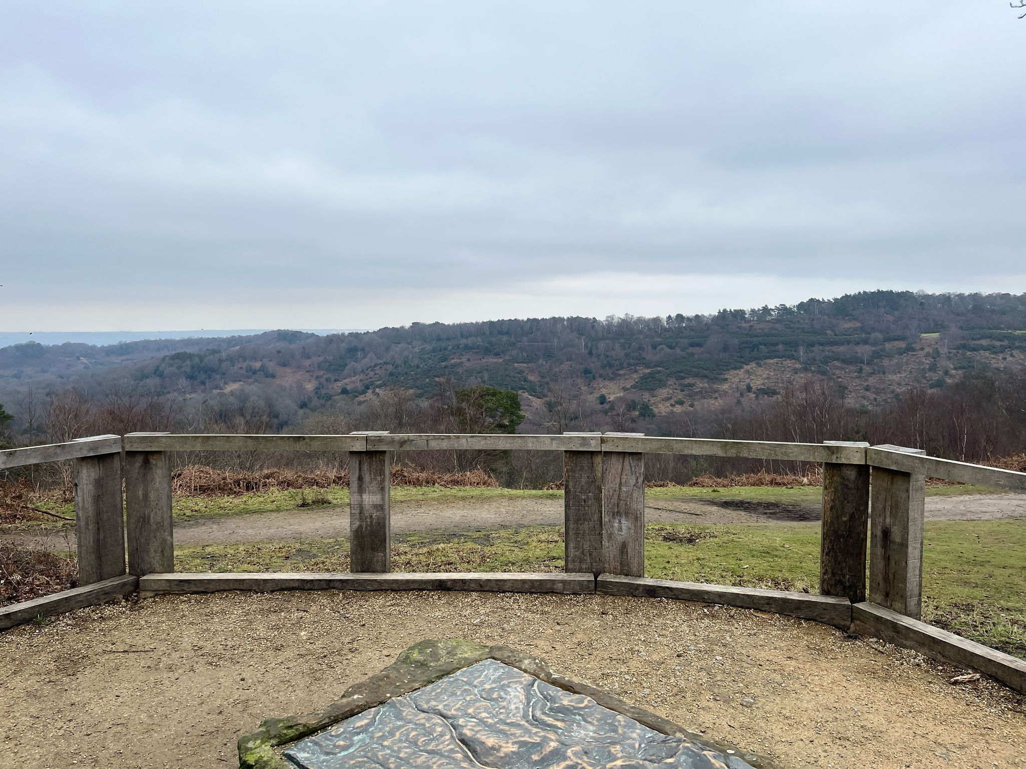
With the National Trust café to your left, walk through the picnic area to the viewpoint to take in the views across the Devil’s Punch Bowl.

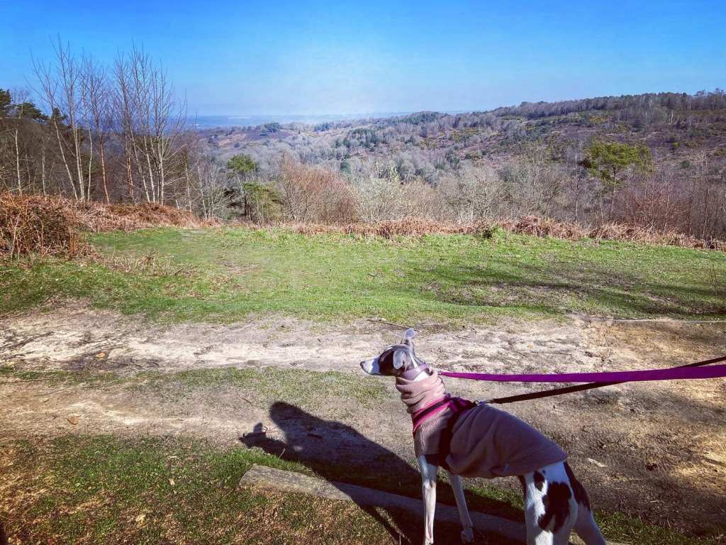
When you’re done admiring the view, turn right and walk along the path that follows the contour of the hill, ignoring the path off to the left where there is a kissing gate.

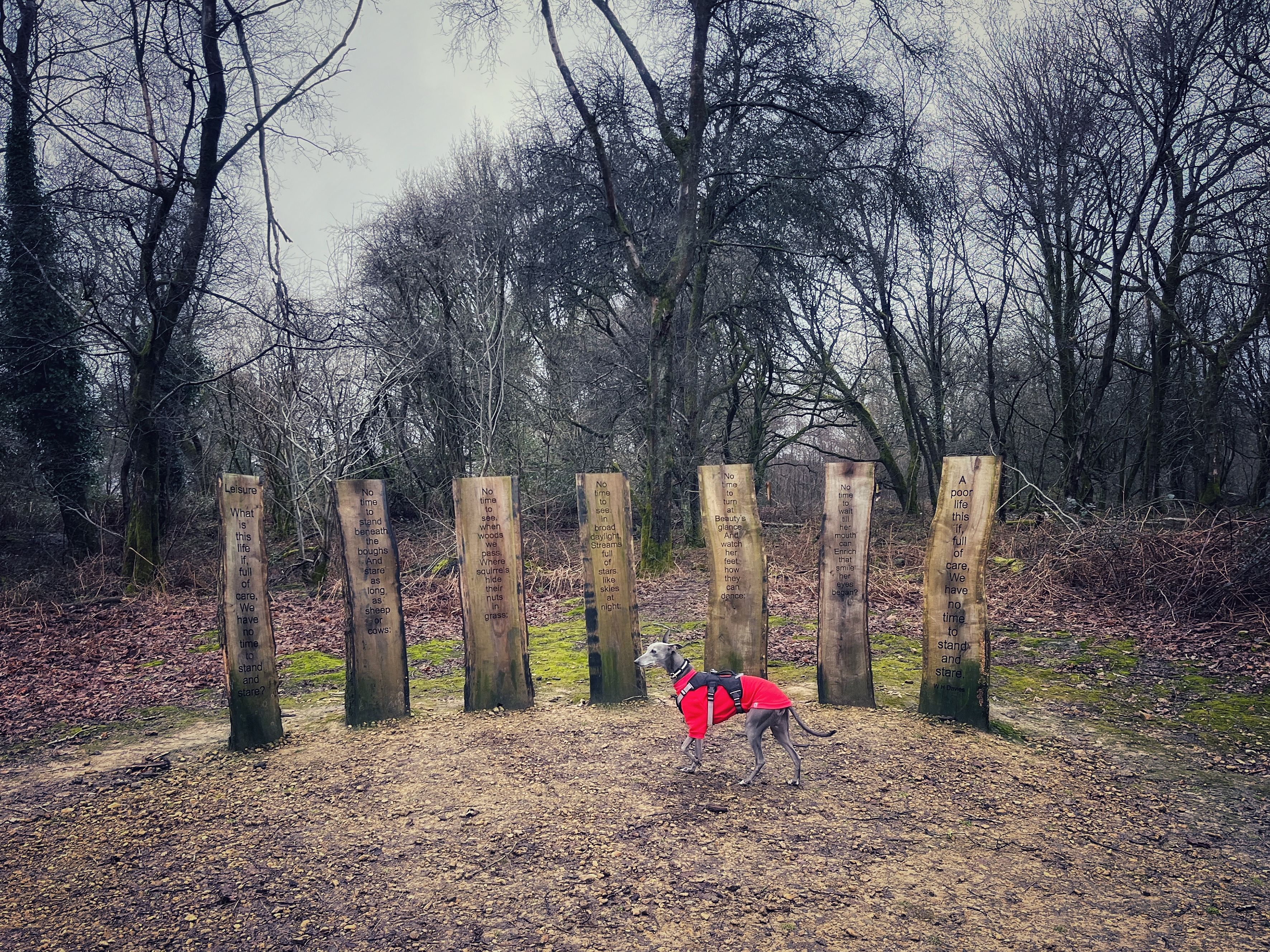
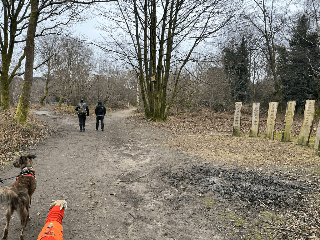
Just after that, pass a chunky bench on the right and then you’ll come to an art installation of tall slats of wood upon which is carved the poem “Leisure” by Welsh poet, William Henry Davies (1871-1940). The poem is a meditation on the importance of taking time to appreciate the beauty of the world around us.
Just after the poem, the path forks – keep on ahead on the right-hand option.
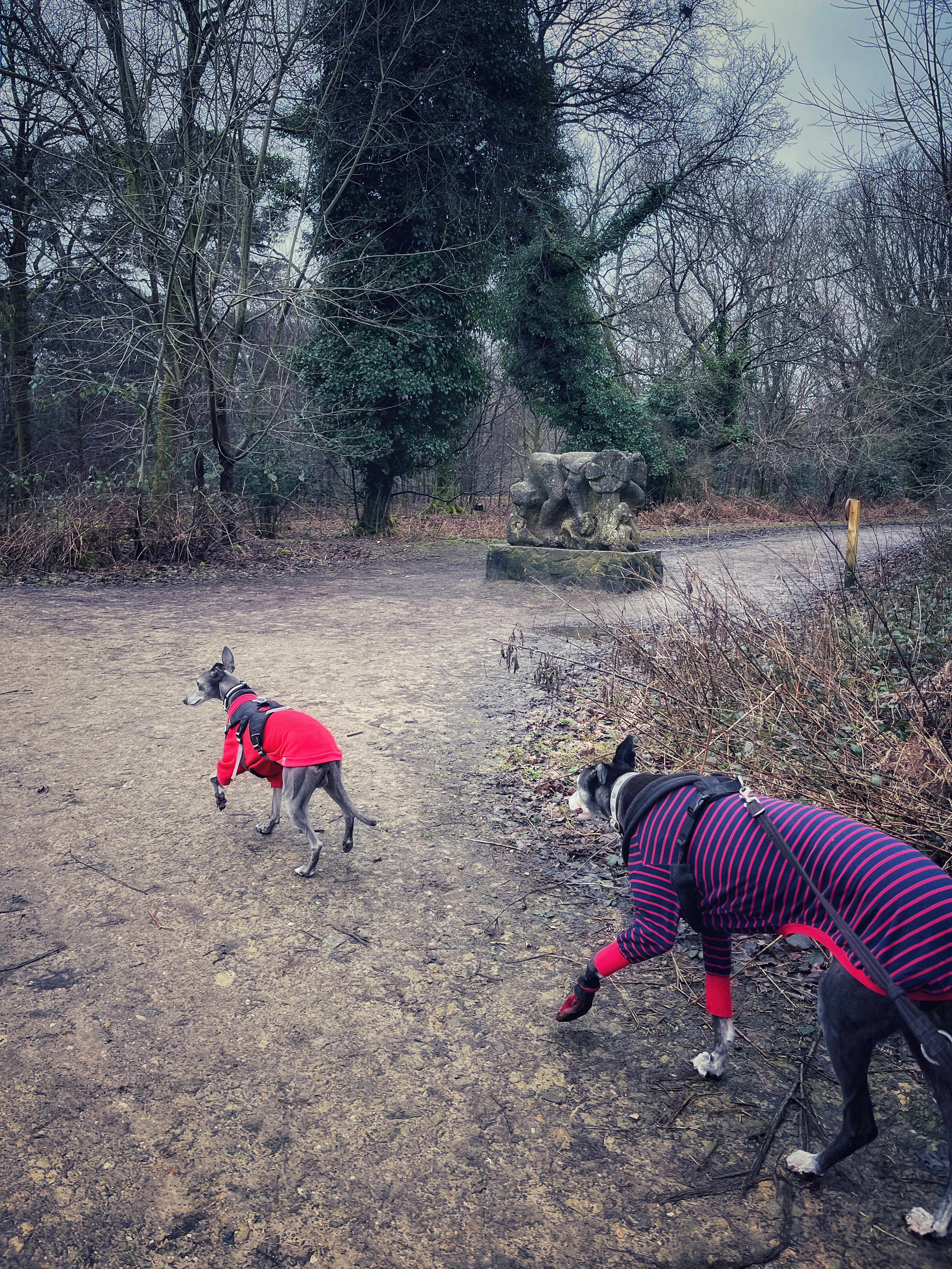
You’ll then come to a wide cross paths with a large stone sculpture just up to the right. This is where the former A3 used to run down into Hindhead village centre before the current bypass and Hindhead Tunnel were opened in 2011.
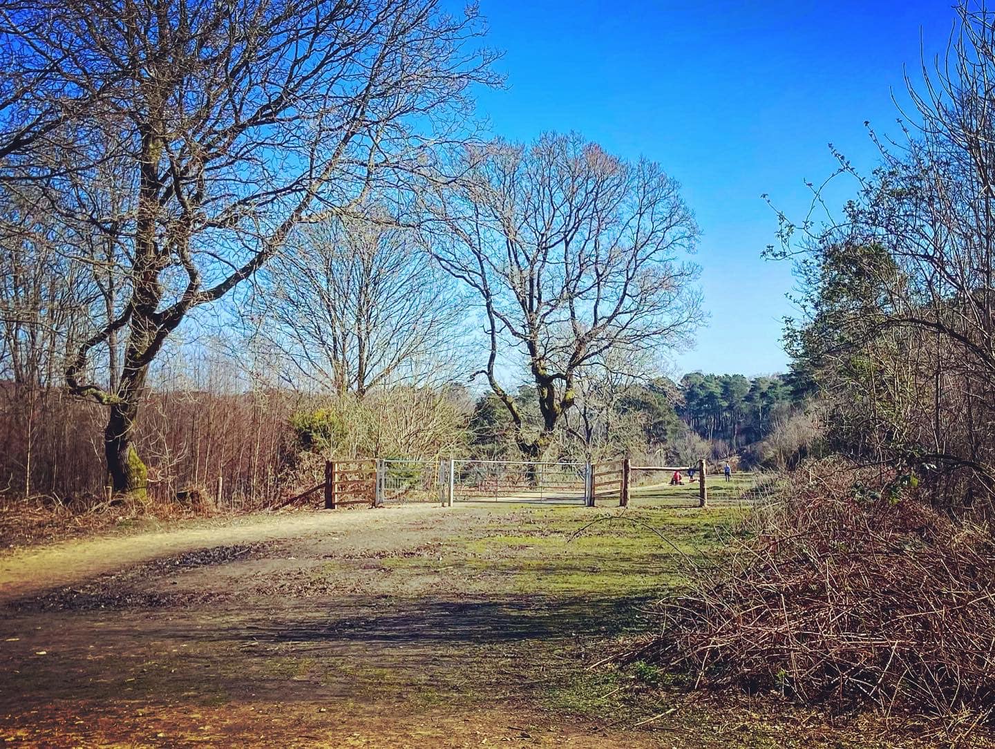
Go straight across. Then at the next junction of paths, turn left and use the gates either side of the cattle grid.
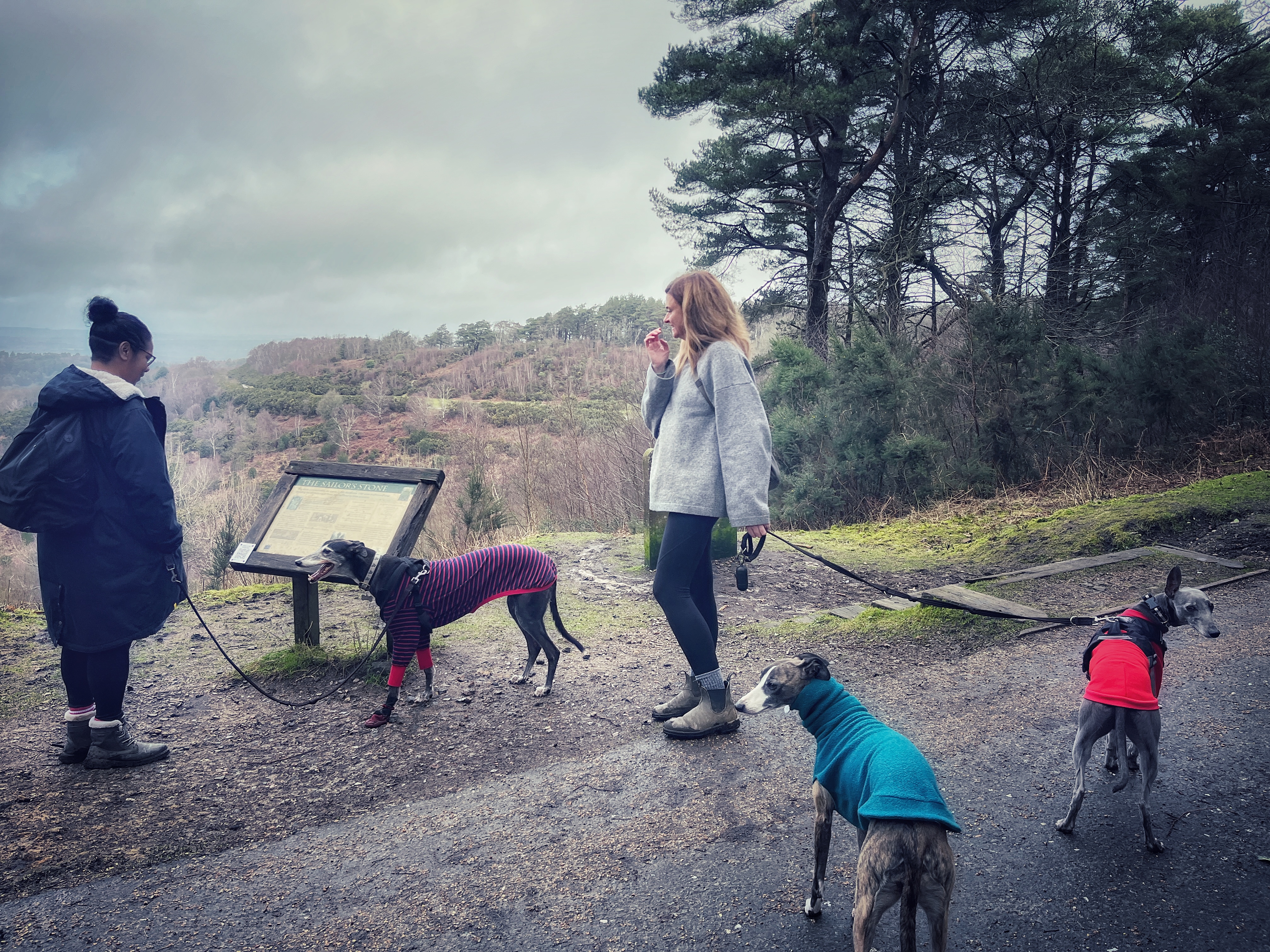
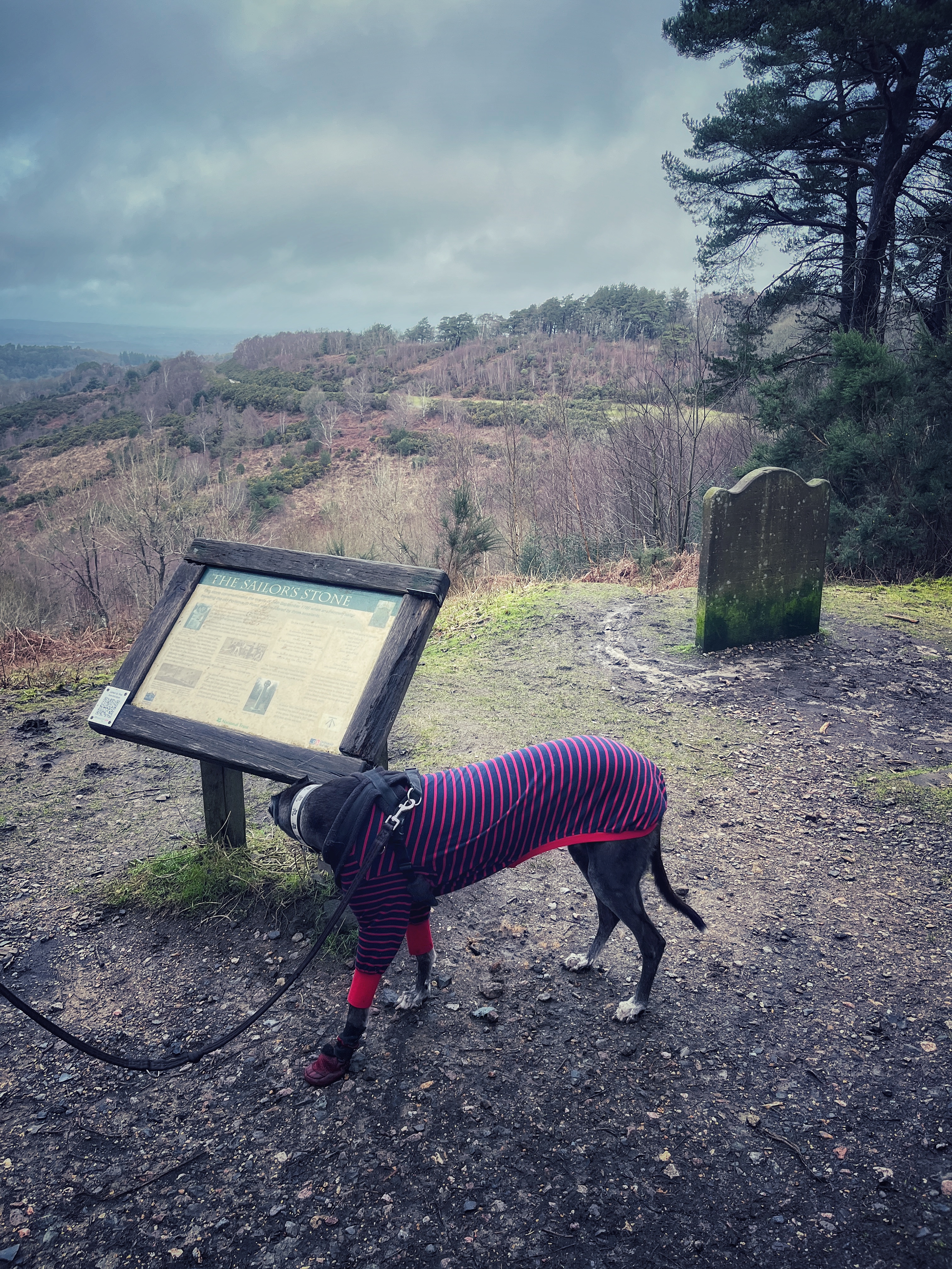
Walk straight ahead on the surfaced path and you will come to the Sailor’s Stone on the left.
About the Sailor’s Stone
An unnamed seaman was murdered at this point in on 24 September 1786. Well, he probably had a name at the time, but we just don’t know what it was – although a chap called Peter Moorey wrote a book, imaginatively titled “Who was the sailor murdered at Hindhead 1786”, and in it he claims that the sailor was a man called Edward Hardman, born in Lambeth in 1752.
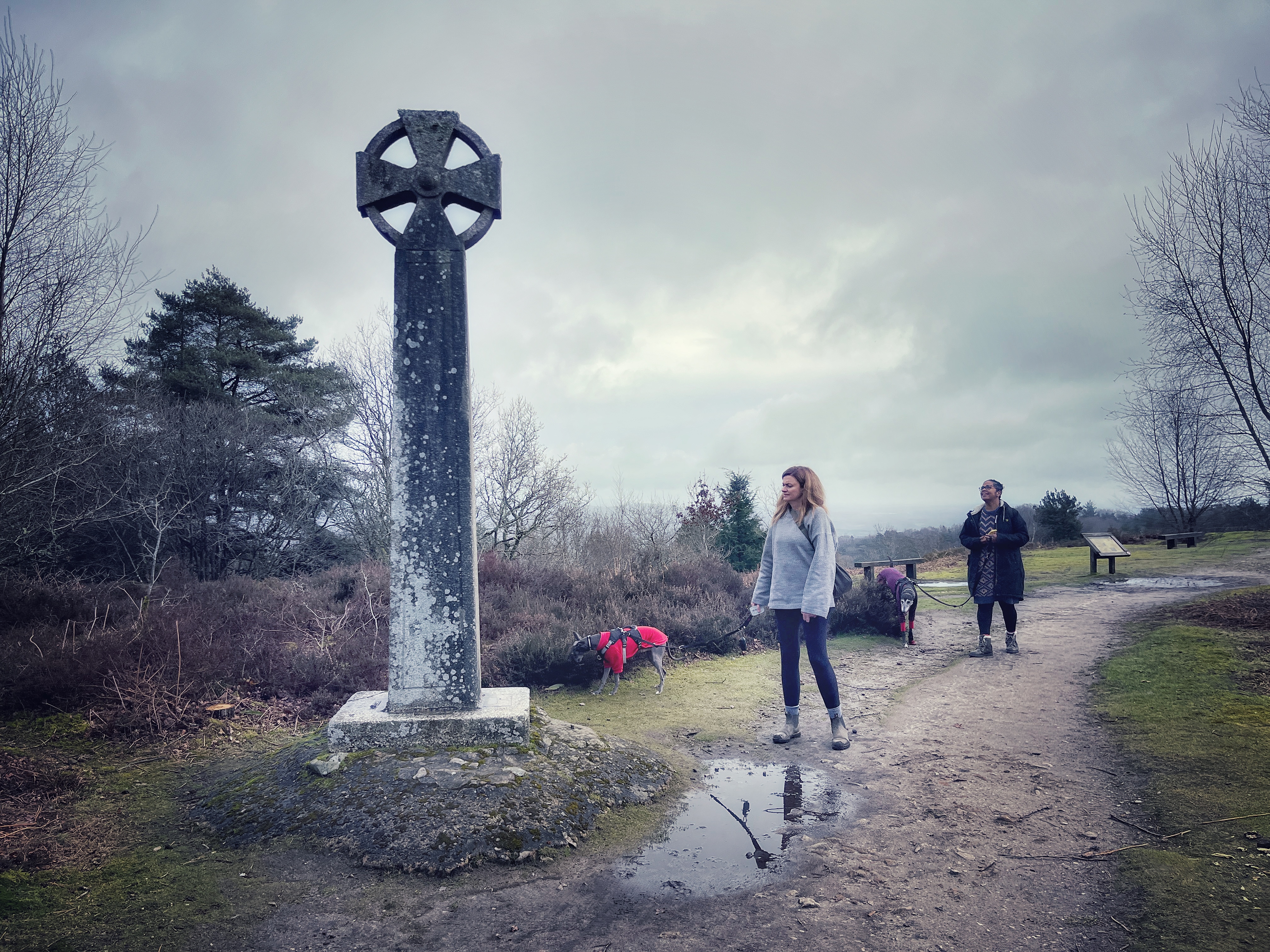
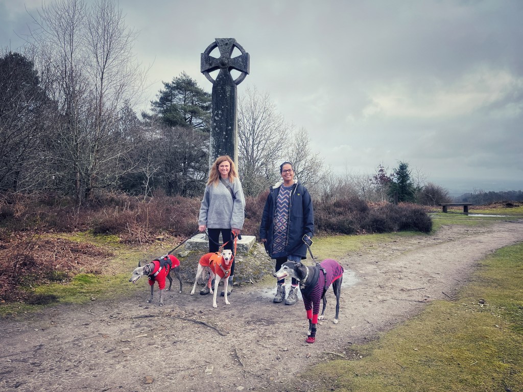
Anyway, whoever he was, apparently he was enjoying a drink at the Red Lion Inn at nearby Thursley on his way from London to his ship at Portsmouth. While there, he met three more sailors – James Marshall, Michael Casey and Edward Lonegon. The anonymous seaman paid for their food and drinks and all four of them left the pub. The three guys decided to show their gratitude for his generosity by murdering their new friend, nearly severing his head and stripping him of his clothes, before dumping his body. They were caught a few hours later trying to sell the clothing at the Sun Inn in Rake, and hanged in April of the next year on a triple gibbet/gallows to deter others from committing such crimes themselves. The Celtic Cross you’ll come to shortly marks the site of the scaffold where they were hanged. The unknown sailor was buried in Thursley churchyard.
Anyway, that’s cheerful stuff, isn’t it?
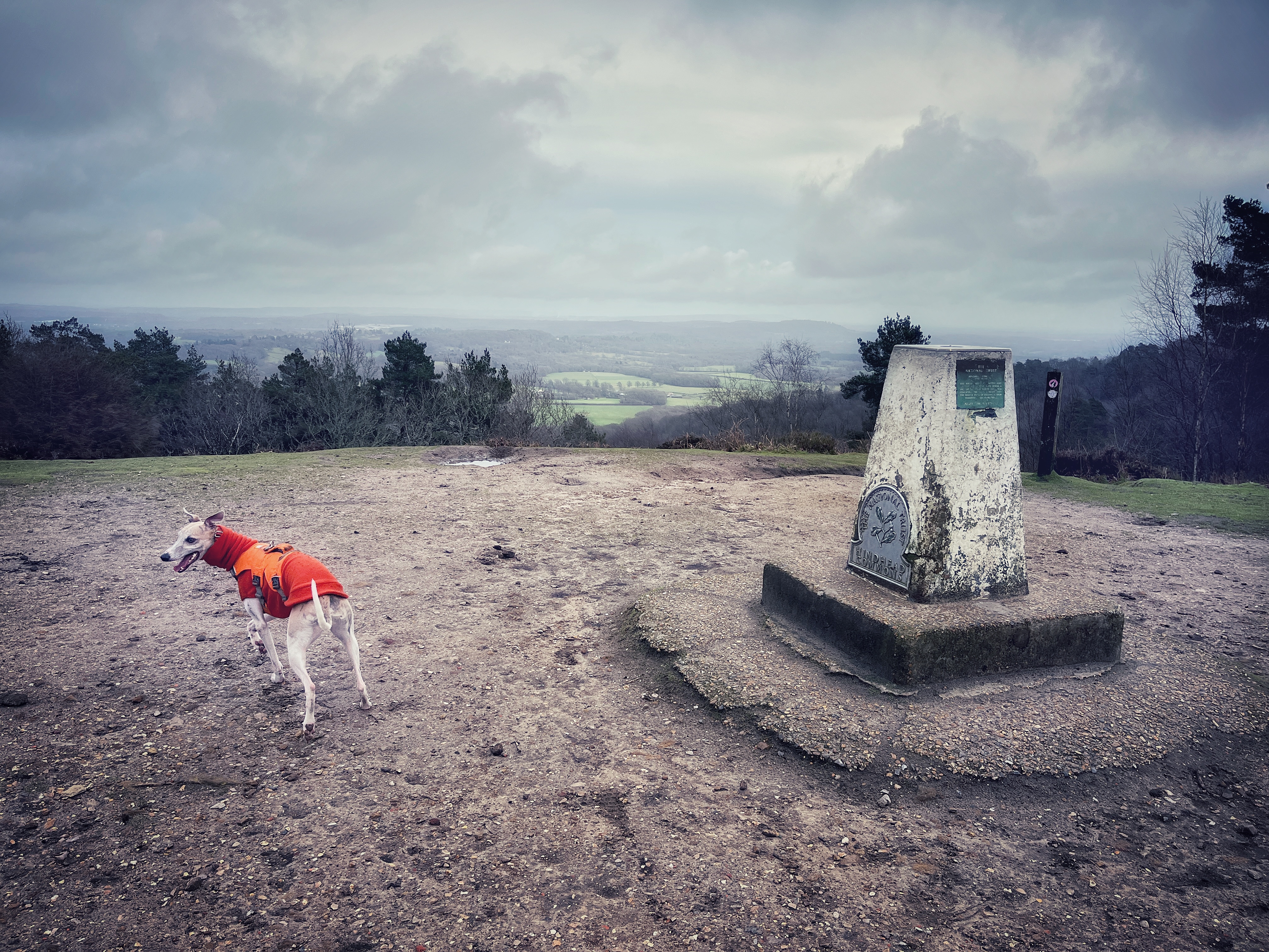
Continue along the surfaced path and as you reach a large fallen tree trunk on the left, cut to the right and then go through a gate, passing a National Trust sign for Gibbet Hill. This is the second highest point in Surrey and the highest bit of the rim of the Punch Bowl at 272m above sea level.
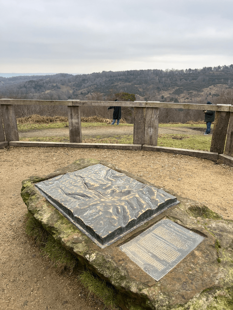
Follow the path ahead towards the OS Trig point that you can see up ahead in the distance…
…but keep an eye out to your right for a path that’ll take you to the Surrey Hills Inspiring Views ‘Xylem’ bench.

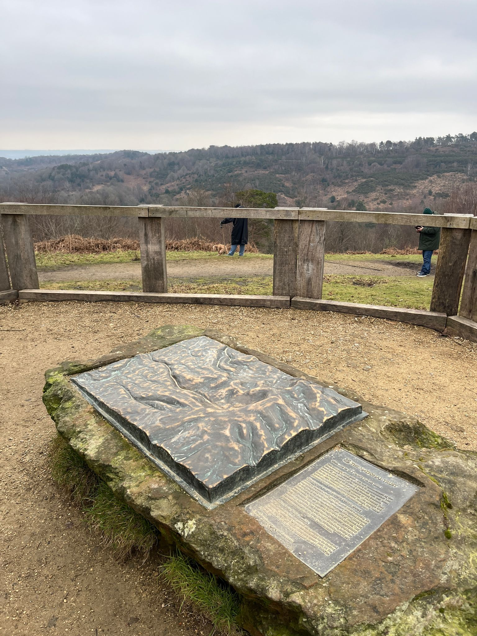
Head to the Trig point and admire the views across the Weald.
On a clear day you can see London and other Surrey hills including Leith Hill and Box Hill.

When you’re done marvelling at the scenery, turn left and walk along to the Celtic Cross, passing an information board on the way.
As mentioned, this was erected on the spot where the three guys who murdered the unnamed sailor were hanged. Around its base there are four Latin inscriptions: Post Tenebras Lux. In Obitu Pax. In Luce Spes. Post Obitum Salus. These translate to “Light after darkness. Peace in passing away. Hope in light. Salvation after death.”
When you’re done looking at the Celtic Cross, go straight ahead and when you reach the main path again, turn right.
This path continues to take you around the curve of the Punch Bowl. There’s a nice view over to the left. When you get to a left-hand path that heads off downslope (just before another cattle grid), turn left off the main path here. Pass the wooden post in the middle of it and go down to the path’s end. There’s a metal gate to the right and a chunky bench straight ahead. Turn left here.
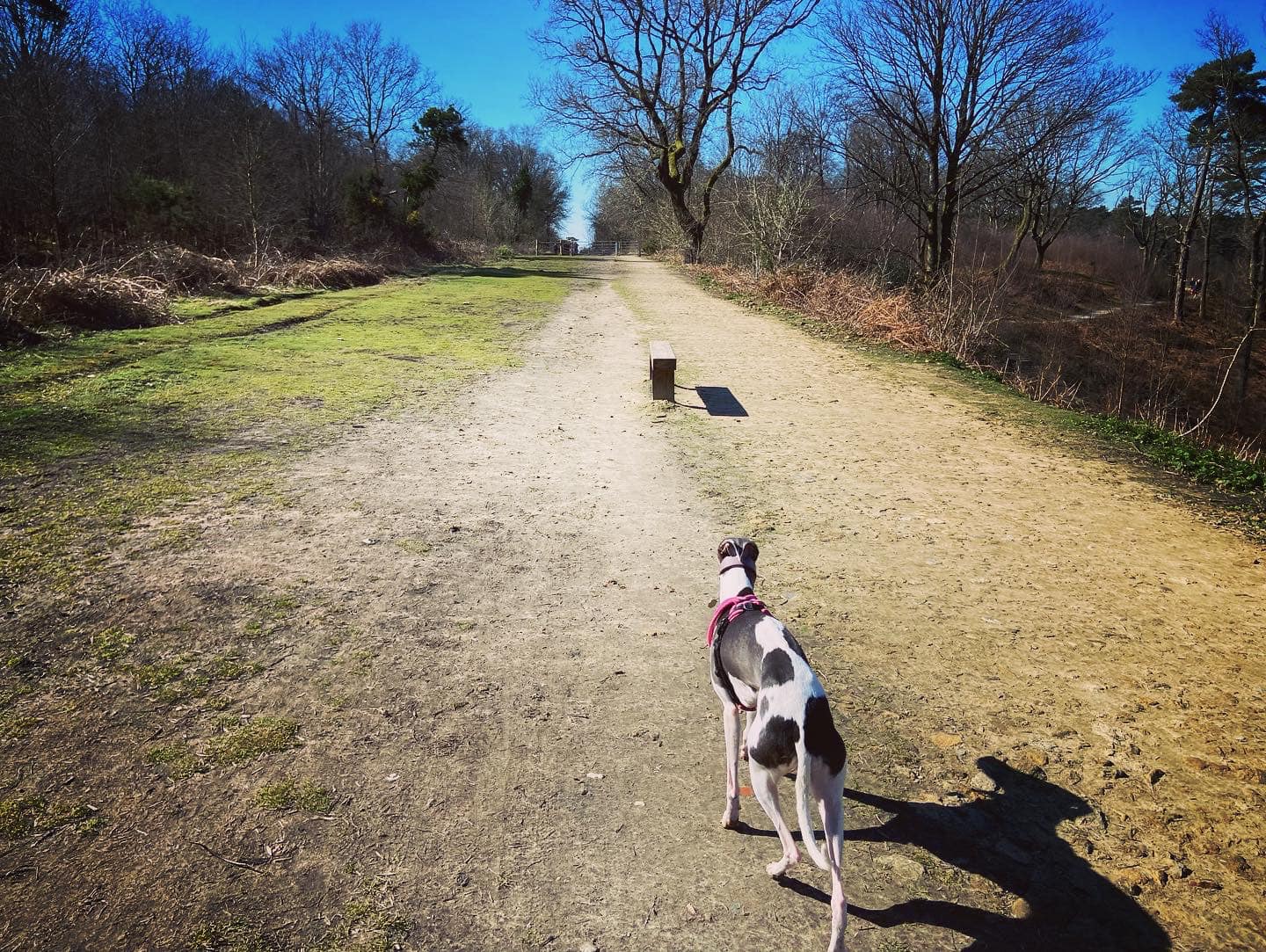
This gorse-lined path, which you follow all the way back to the car park, follows the route of the former A3 from London to Portsmouth before the Hindhead bypass and tunnels were built.
The tunnels (for there are actually two, one for each carriageway) are 1.15 miles long, making them the longest non-estuarial road tunnels in the UK. You almost certainly haven’t given any thought to this, but the tunnels’ horseshoe shape gives away that they were excavated by mechanical digger rather than tunnel boring machines (such as those used to build the London Underground). It took two diggers just over a year to go from one side of the hill through to the other, with digging commencing on 1 February 2008 and breakthrough being achieved on 26 February 2009. The whole project cost £371 million.
The National Trust website proudly declares that now that the old A3 is redundant to cars, it has become a super highway for wildlife crossing from the Devil’s Punch Bowl onto Hindhead Commons.
