Page contents
About
Gallery
Parking
Poo bins?
Self-guided walk
About
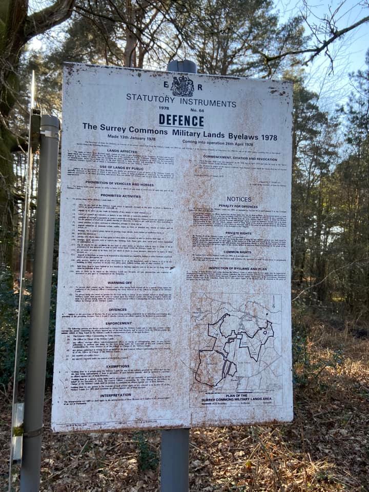
Royal Common, just outside Elstead, is part of the Longmoor Training Area owned by the Defence Estates, which also covers large parts of Hankley, Elstead and Ockley commons. Public access is allowed across the Defence Training Estate provided you adhere to the Surrey Commons Military Lands Byelaws 1978. Army training here (when it takes place) revolves around logistics and minor infantry manoeuvre exercises and you’re unlikely to come to any harm, but make sure you follow the instructions of military personnel if you do encounter any.
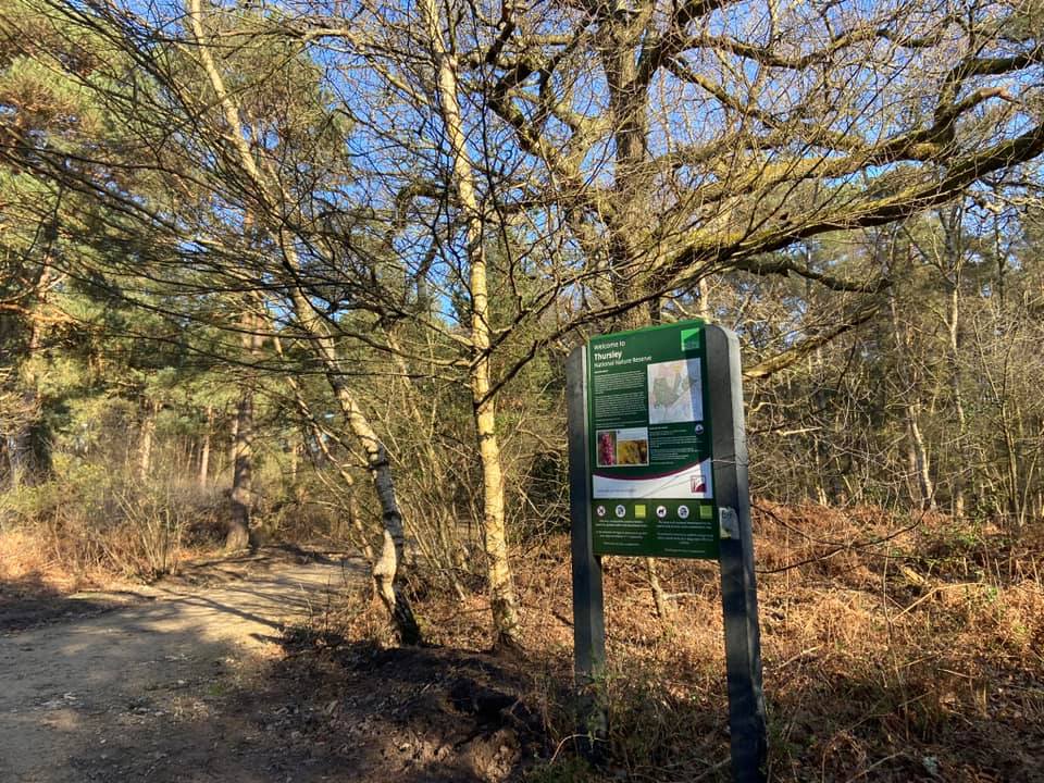
Thursley National Nature Reserve, at 325 hectares, is one of the largest remaining fragments of heathland in Surrey. This extensive site also includes areas of marsh, peat bog, and pine and deciduous woodlands. It has both National Nature Reserve and Site of Special Scientific Interest status.
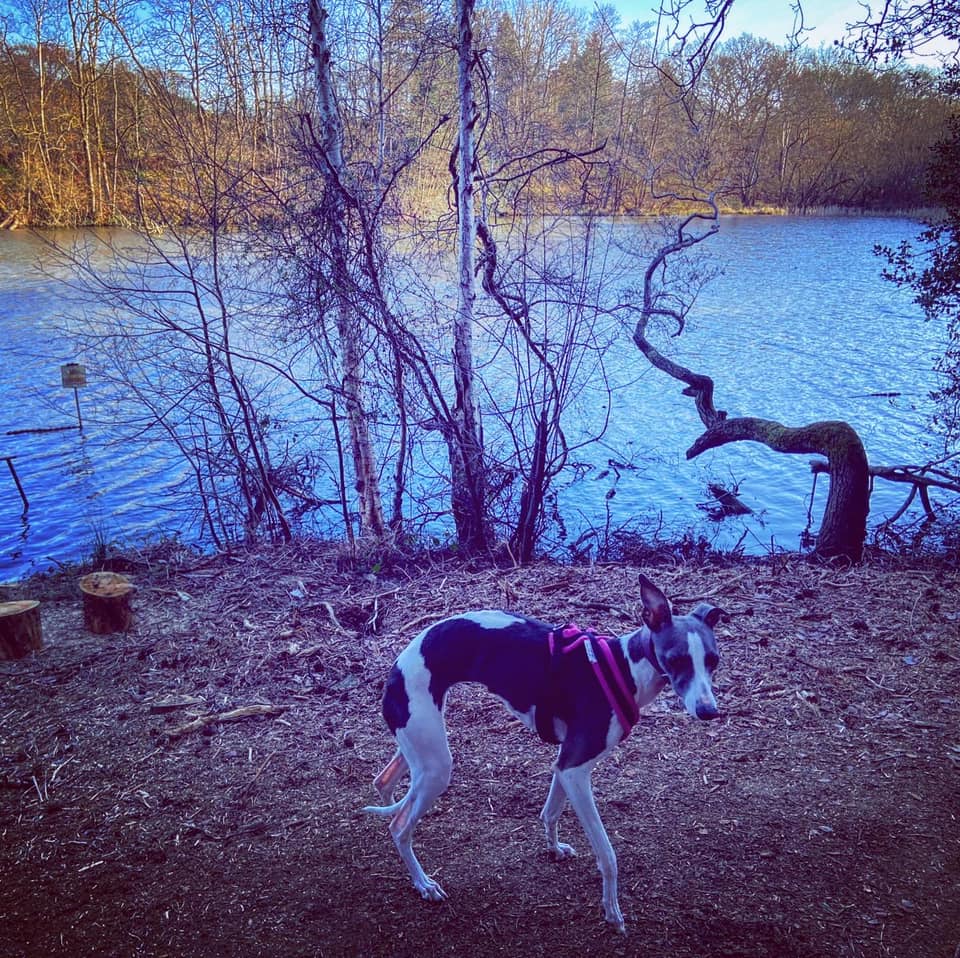
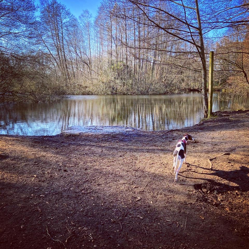
The walk on this page takes you along the eastern edge of the reserve’s drier area (compared with its northerly valley mire/bogs), which is lined by a relatively small area of pine forest, which separates the reserve from Forked Pond. This large artificial pond was constructed around 1560 by Thomas Jones, who was Queen Elizabeth I’s steward of the Royal Manor of Witley. Back in those days, angling was a popular pastime of the gentry and the ownership of fishponds was an indication of social status.
Note – I have quite a few other walks for this area, including:
– Elstead Common from Moat Pond
– Hankley Common route via Kettlebury Hill that passes the pill box and reconstruction of the Atlantic Wall
– Thursley Common National Nature Reserve
– from the village of Thursley (to be added)
– Hankley Common – route following the Greensand Way through Hankley golf course and via Stockbridge Pond (to be added)
– Hankley Common – south side from Pitch Place
– Churt Common/The Flashes, Axe Pond and Stony Jump
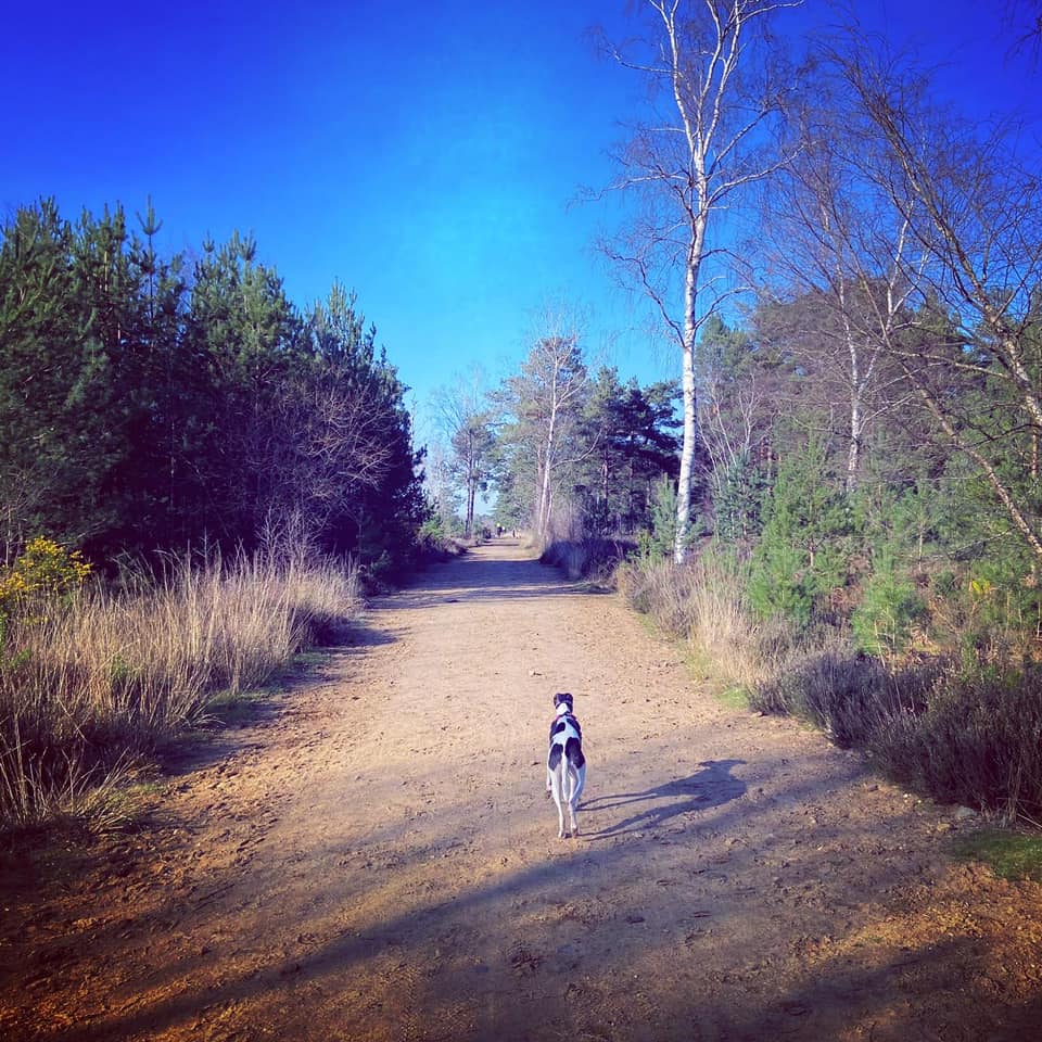
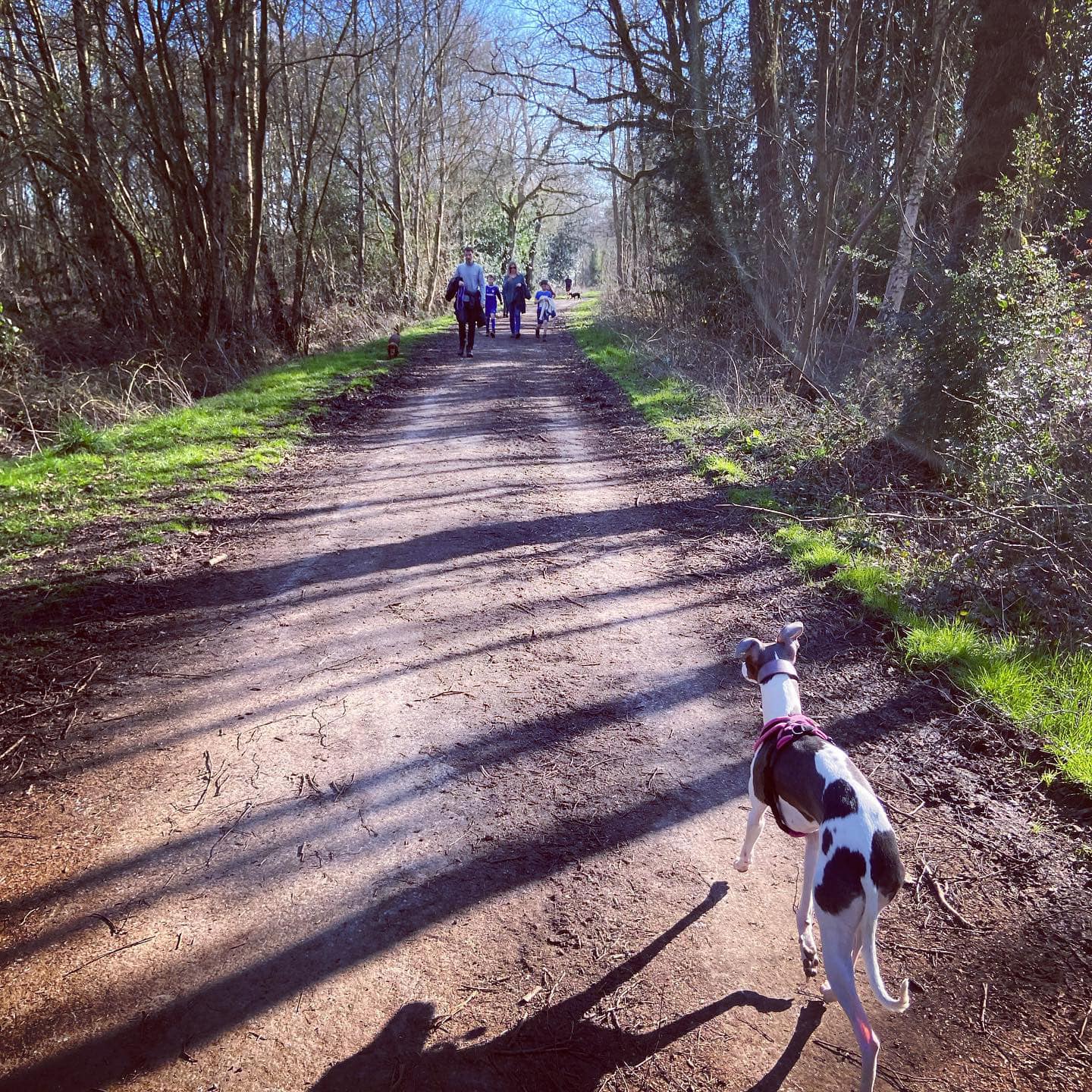
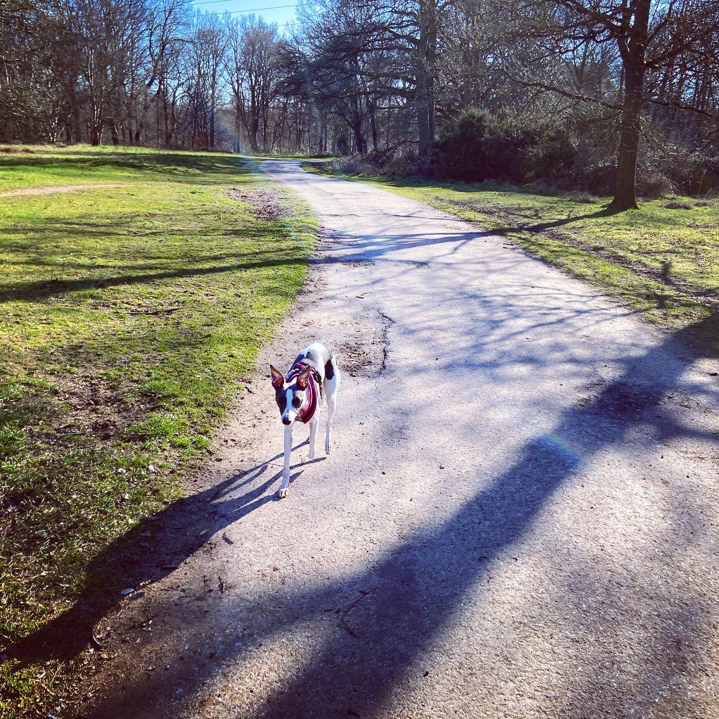
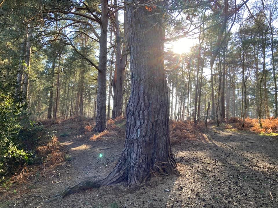
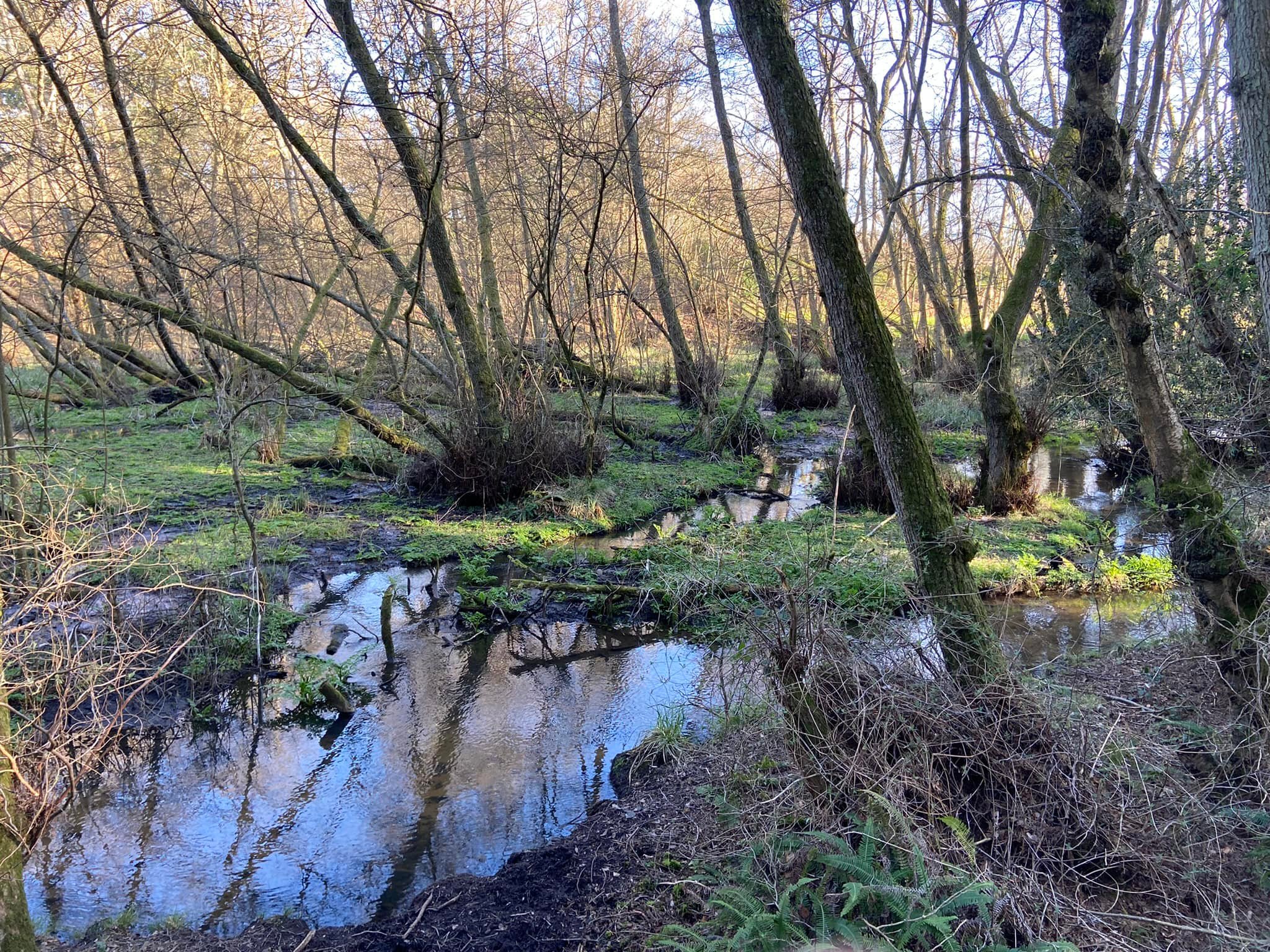
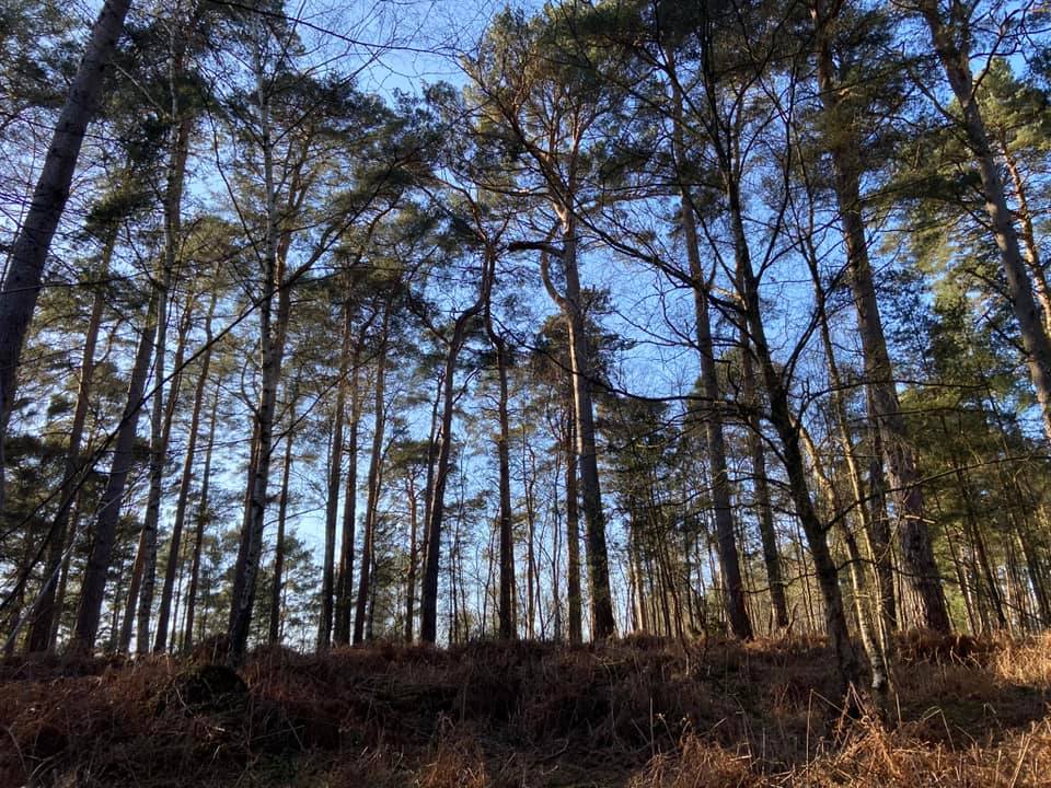
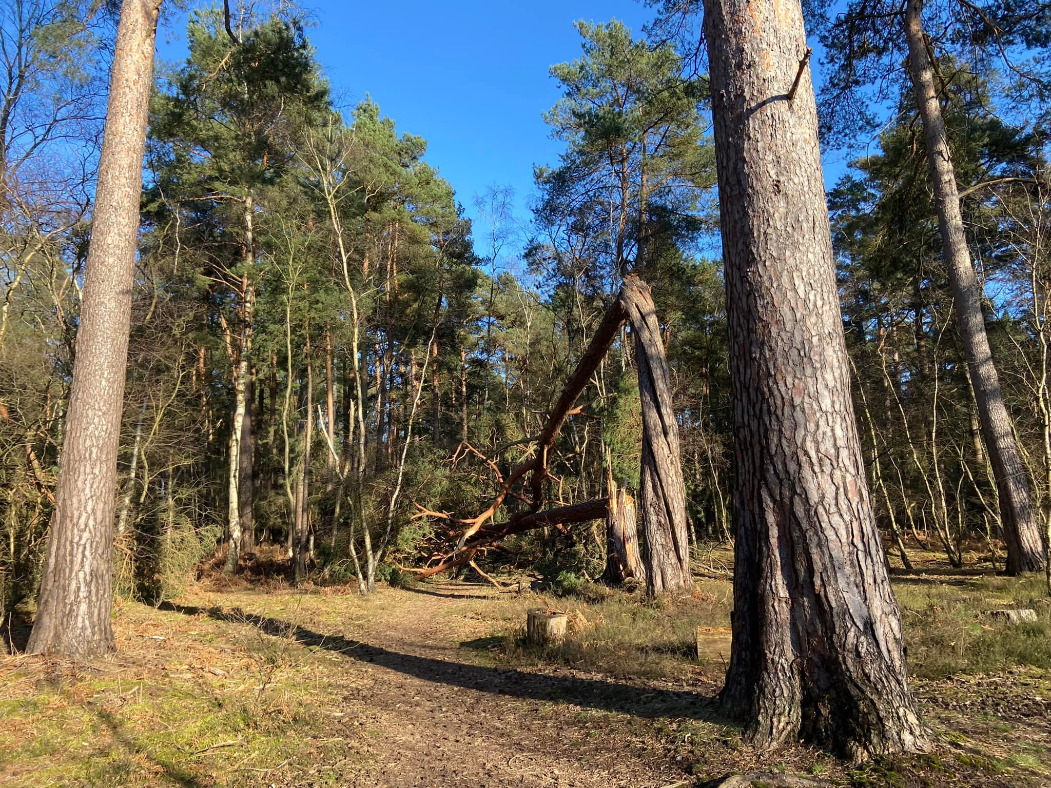
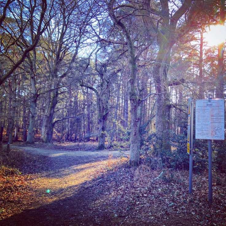
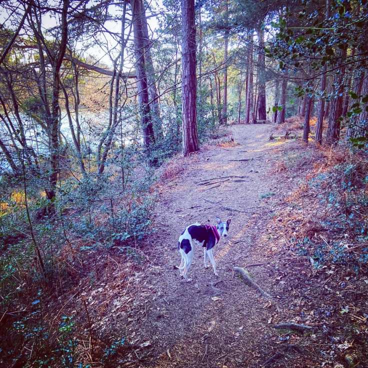
Gallery: What’s it like here?


Parking
There is a layby/small car park on the B3001 Elstead Road just along from the junction with Shackleford Road (on the opposite side of the road) about a mile east of Elstead. It has room for about eight cars. If using Googlemaps, you should be able to find it by searching for ‘Car park walk‘ Godalming. The nearest post code is GU8 6LB, which will take you up Shackleford Road.
Poo bins?
None, please take any waste away with you.
Self-guided walk
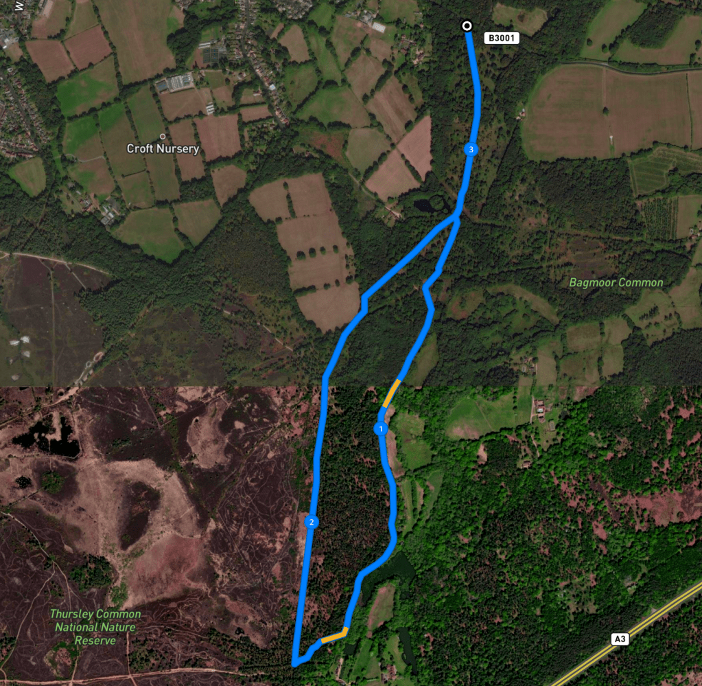
Here is a Footpath app route from Elstead Road. Also on AllTrails. It takes you across Defence Estates-owned Royal Common (which is next to Bagmoor Common) down to Thursley Nature Reserve, where you walk along the side of Forked Pond. The route loops back via a long, straight at the boundary of the heathland and woodland.
Length: approximately 3.3 miles/5.3 km
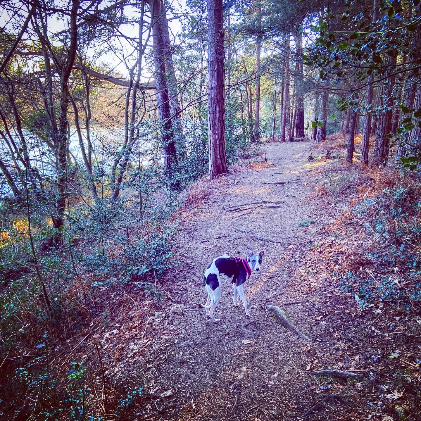
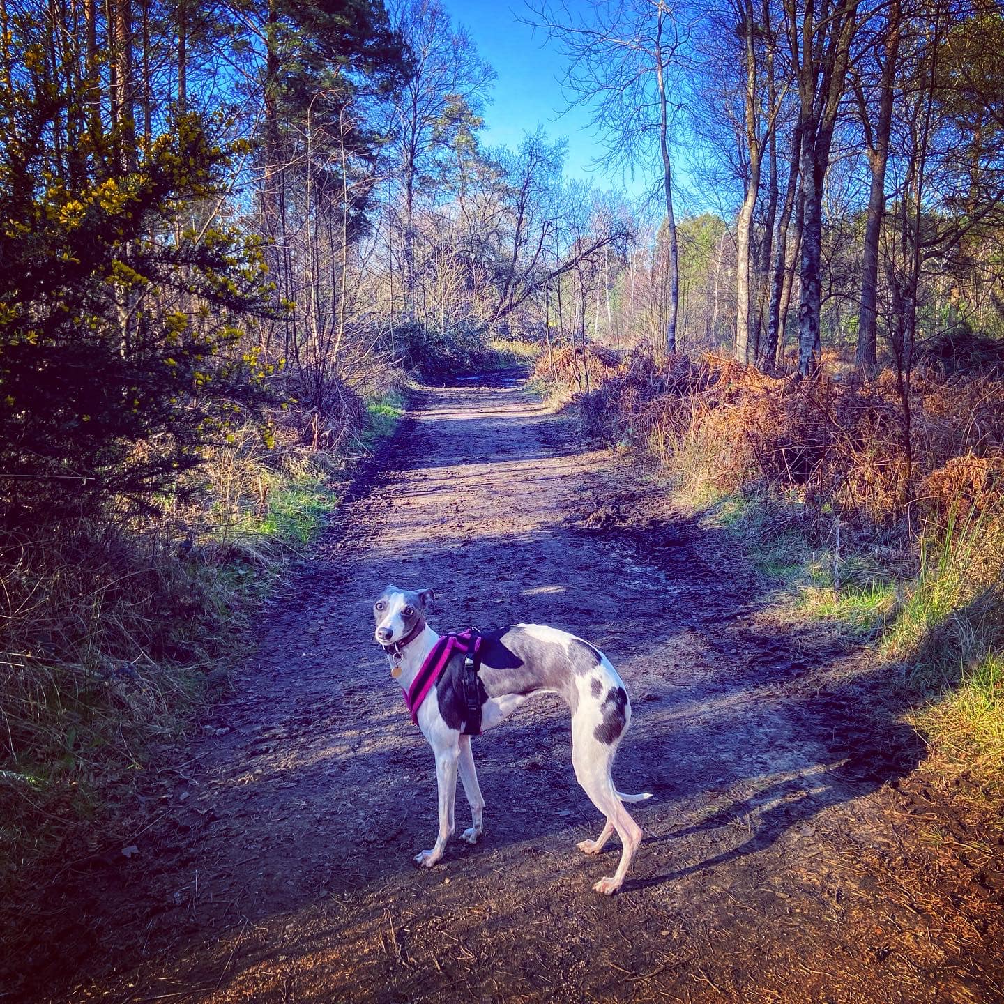
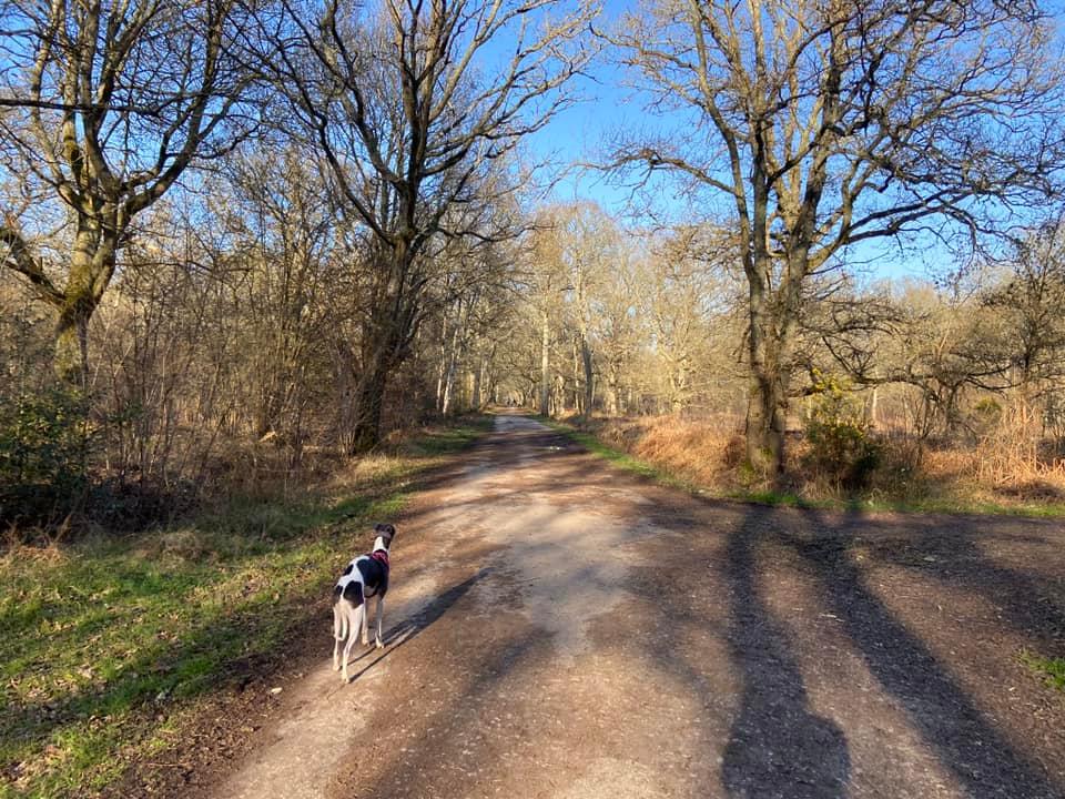
Terrain: Much of this walk is flat, with the first and last half mile or so on a surfaced path. There are some sections on mud, which can be boggy and wet during the colder, wetter months of the year, and the long straight at the edge of the reserve is sandy underfoot. There are ups and downs on the part that goes along the side of Forked Pond.
Stiles/kissing gates? No stiles, no kissing gates
Walk through the gap at the side of the gate and follow the the surfaced path straight ahead for about half a mile. It isn’t obvious, but you’re walking through Royal Common. Pass under some overhead powerlines and you’ll reach Royal Common Pond on the right. Here, come off the main path on a mud path to the left, which will take you to a junction of three paths.

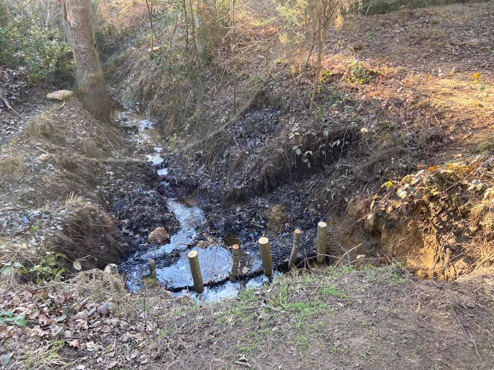
Of these three paths, you want to take the one that is furthest to the right, passing to the side of the marker post with a blue arrow on it. It has a murky watery ditch running alongside it on the right.
After some way, the ditch bears away from the path. Continue ahead a few paces to the fork and take the right-hand path. Follow this to the next little marker post and then bear left on the tiny path and cross straight over the next junction.
Once again there is a ditch to your right hand side. This is a long, straight path. Pass the white sign (on your right) about the common’s military bye laws, keeping left. Then pass a sign (on your left) about Thursley Nature Reserve. Continue straight along the edge of the woods, with a small field to the left.
Where the surfaced path/track you are currently on curves round to the left towards a gate, continue straight onto a mud path that goes off through the trees.
You’ll come to a fork by a small marker post with an arrow pointing right. Take the left-hand path down the side of a green corrugated building and alongside a wooden fence that has ‘keep out’ signs on it, then pass Forked Pond Lodge. As you wind along, the pond becomes visible ahead on the left.
Walk along the side of the pond to a fork in the paths at a really big tree. Keep left here to continue along the water’s edge.

The path will bend to the right as it reaches a private property – you can see through to its nice garden, where there is a bridge over this end of the pond. Follow the fence line (on your left-hand side) and bear left when you come to the next path, sticking with the fence.
At the next fork, go right – there are two paths to choose from here, but it doesn’t matter which you take. I tend to opt for the one on the right. Whichever one you go for, turn right at its end onto a main bridleway, which you’ll walk along for a fair distance. It starts off in the woods but soon emerges out onto heathland and the mud path underfoot gives way to compacted sand.
When you come to the junction with a path off to the right next to another information board about Thursley Common and more white byelaws signs, continue straight ahead. You’re now leaving Thursley Nature Reserve and back on Defence Estates land.

Pass the stream/ditch and at the fork immediately after this, go right and then right again by the marker post.
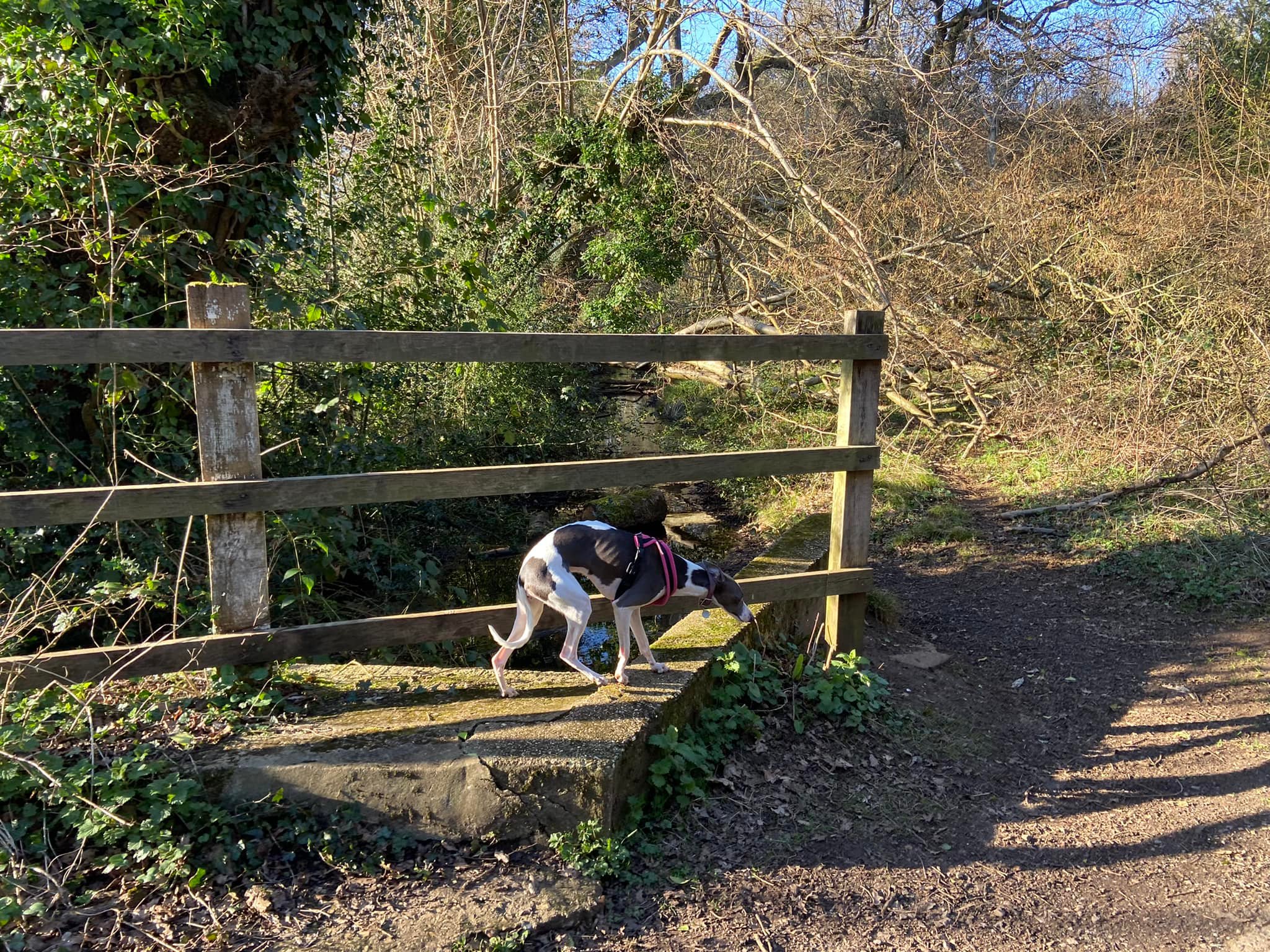
At the next path by another small marker post, keep ahead/slightly right – there will be a field to your left. The mud underfoot is replaced by a surfaced path. It bears left then right and over a stream/ditch with wooden fences before becoming a long straight, which has a watery ditch on either side.

Presently this path brings you back to Royal Common Pond but it will be on your left now. Pass the pond and retrace your steps back to where you parked.
