
Page contents
About
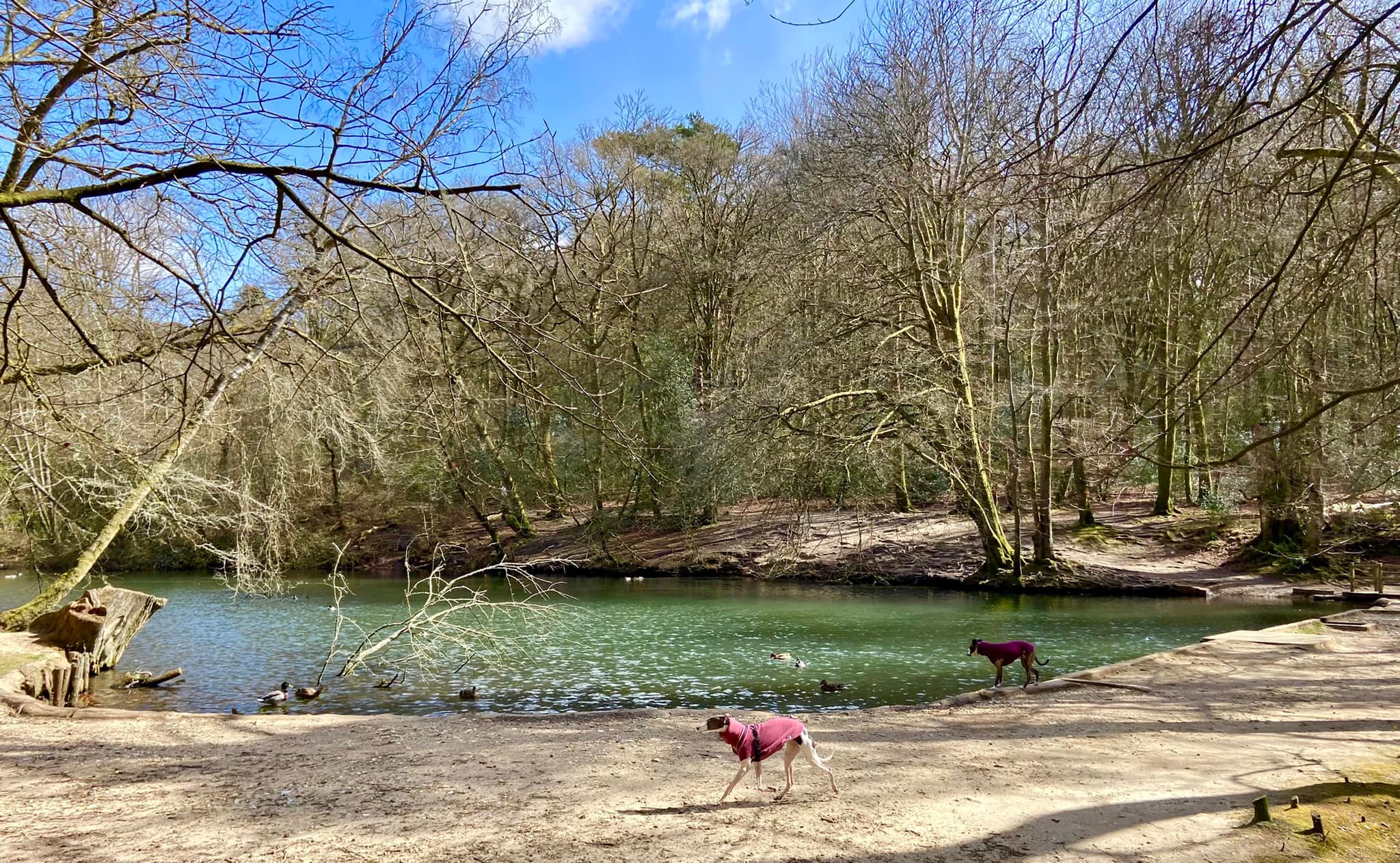
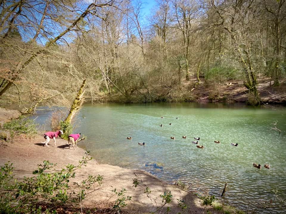
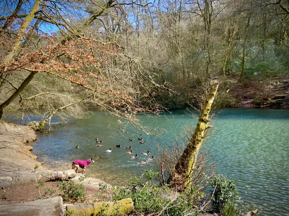
Gallery
Parking
Poo bins?
Self-guided walk
About
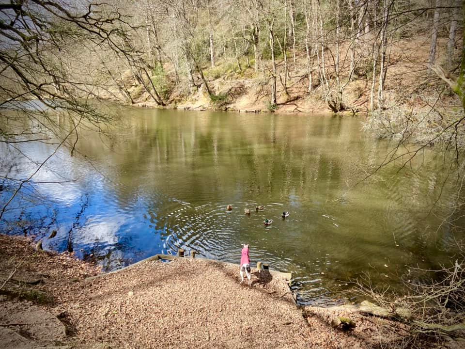
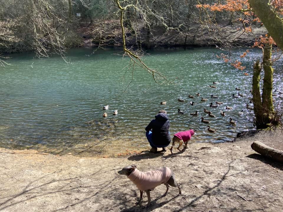
Waggoner’s Wells in Hampshire consists of three man-made ponds/lakes, which were created in the 17th century by the Hooke family of Bramshott. With evidence of ironmaking in the area, it’s believed they were originally intended as hammer ponds, which would have provided water to power machinery used to produce iron, but they appear never to have been used. It’s been suggested that they instead served as fish ponds. Apparently to this day, there are a variety of fish in them, including carp, roach and trout. Water birds such as kingfisher are attracted to the area and there are plenty of ducks on the ponds.
Lying at the head of Cooper’s Stream, which is a tributary of the River Wey, the Waggoner’s Wells are surrounded by steep valley slopes, which are populated by ancient beech and pine woodland. Ludshott Common is to the north and Bramshott Common to the south.
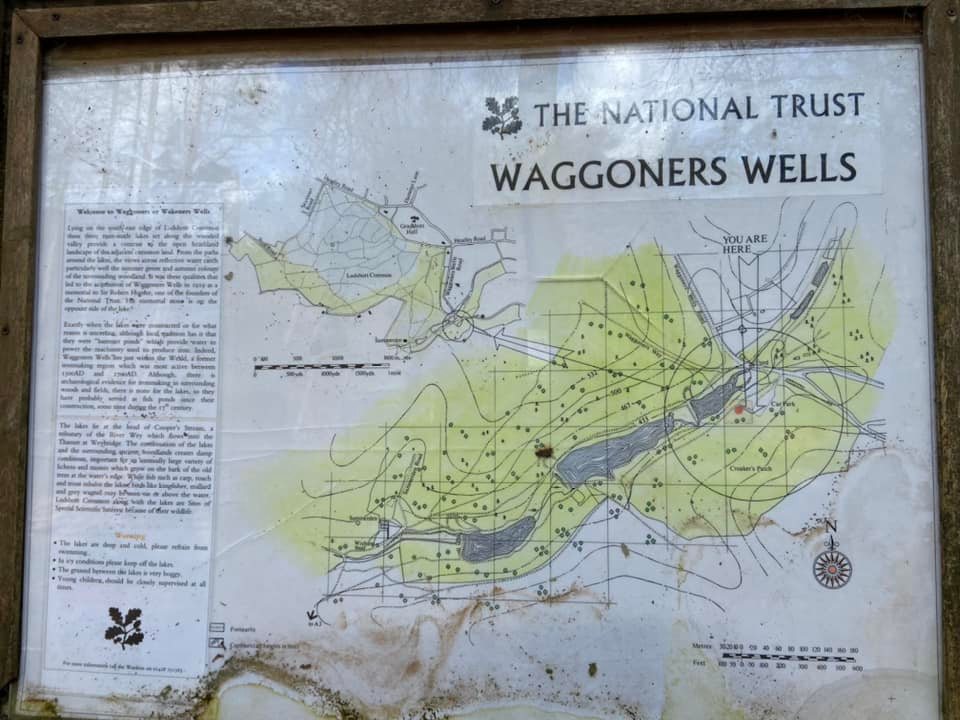
The original name of the series of ponds was Wakeners’ Wells but nobody seems to know why the name changed. What we do know is that the area was purchased in 1919 by the good old National Trust as a memorial to one of its founders, Sir Robert Hunter. It maintains the woodland and water features, including the little wishing well.
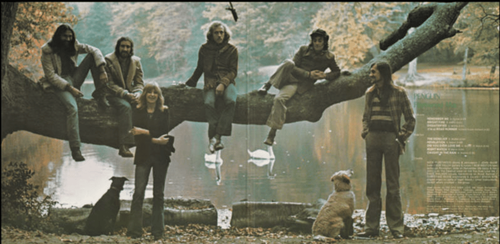
Finally, a pop culture fact for you: prog rock fans may know the photo of Fleetwood Mac in front of a lake that is on the inside of the Penguin album cover. This shot was taken at Waggoner’s Wells.
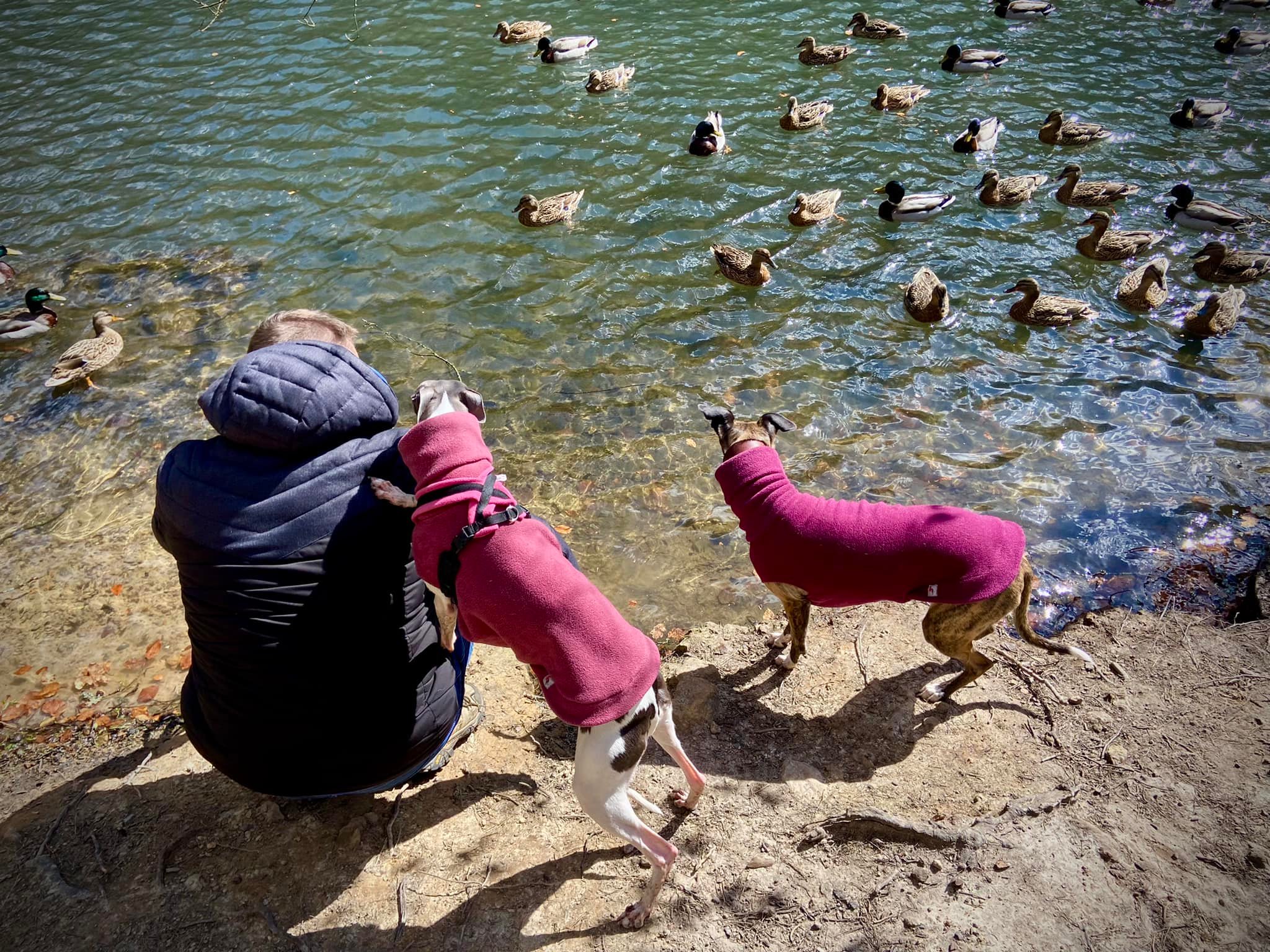
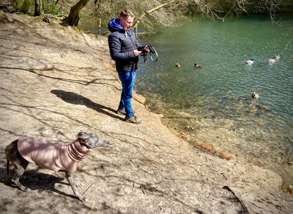
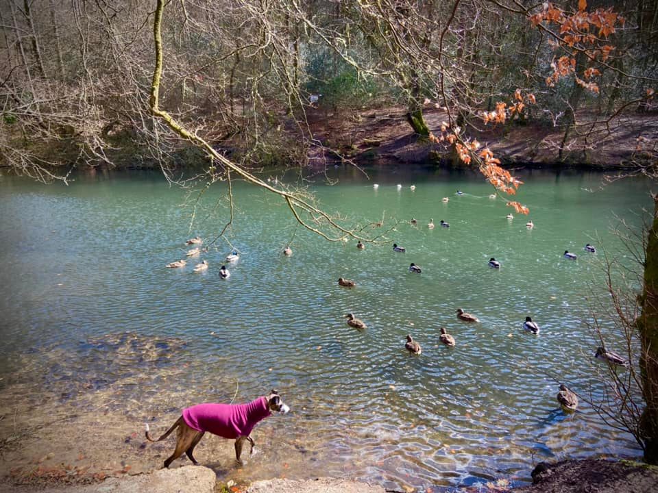
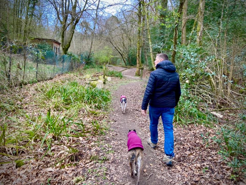
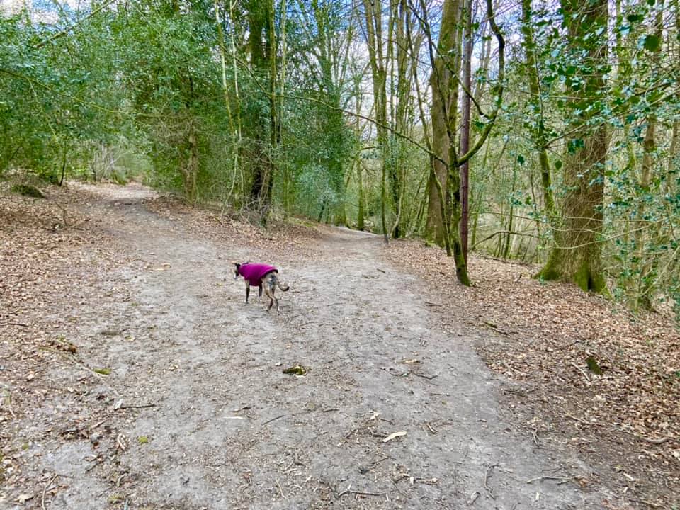
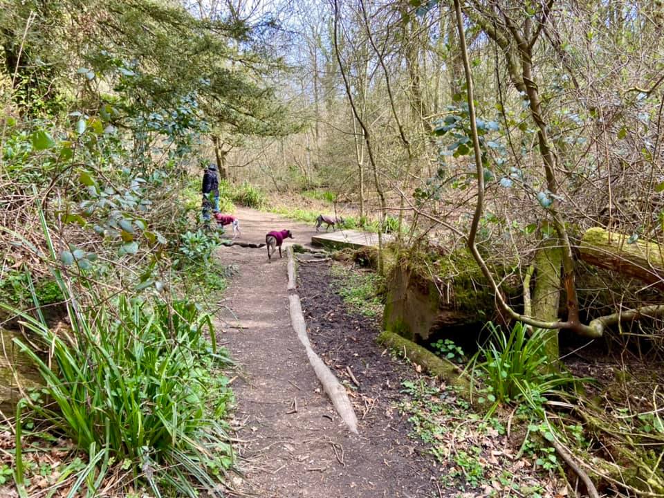
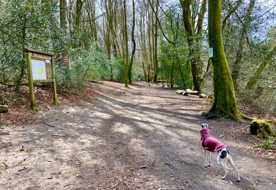
Gallery: What’s it like here?


Parking
Park in the free car park at the end of the lane just after the ford.
Poo bins?
None, please take waste away with you.
Self-guided walk
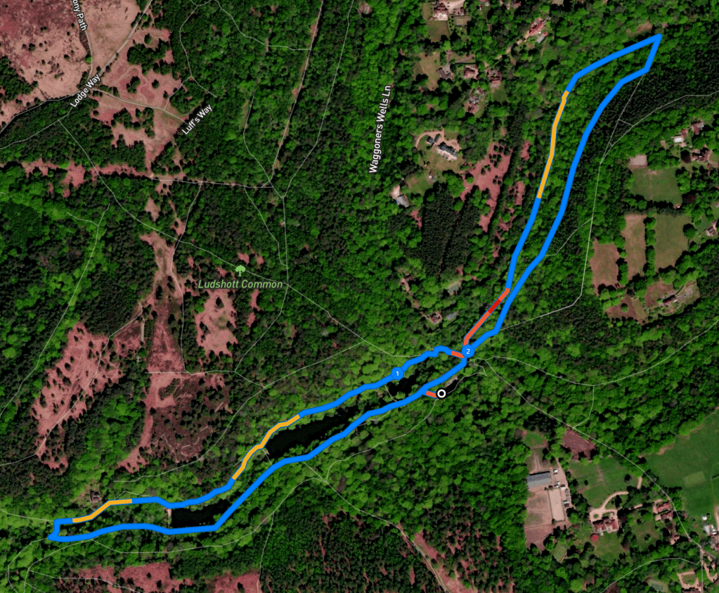
Here is a Footpath app route from the free car park at the end of the lane after the ford. Also on AllTrails. It’s very straight-forward, taking you on a long loop around the three ponds/lakes, across the ford and then another loop on the other side of the lane passing two ponds and coming back through ancient woodland.
Length: approximately 2.1 miles/3.4 km
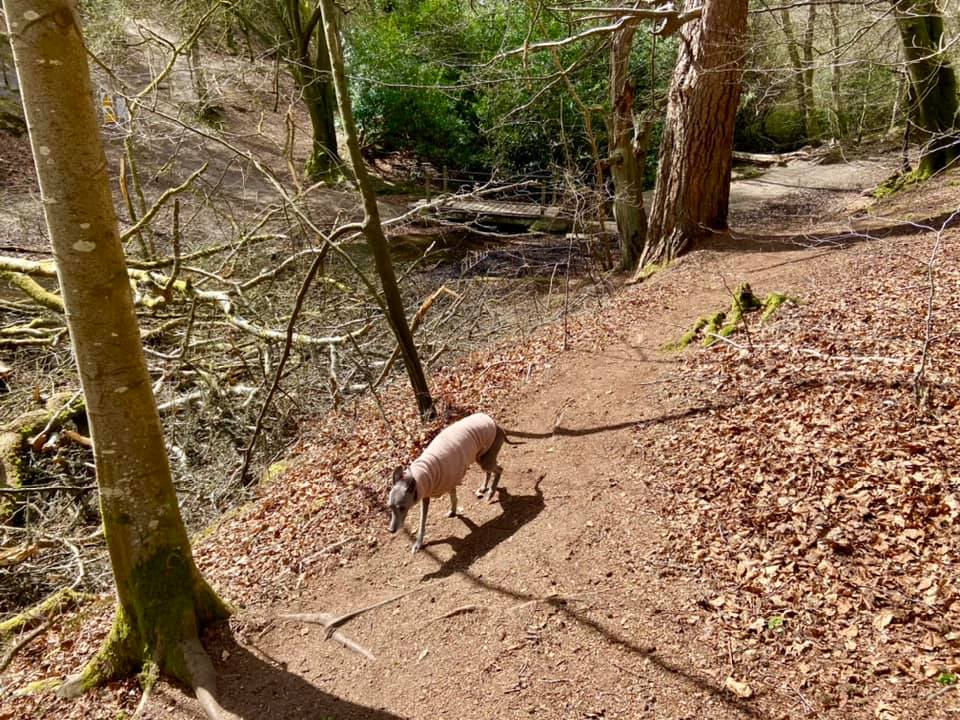
Terrain: Most of this walk is on quite dry compacted mud or springy woodland floor although the second loop that passes the boggier two ponds can be muddy in winter.
Stiles/kissing gates? No stiles, no kissing gates
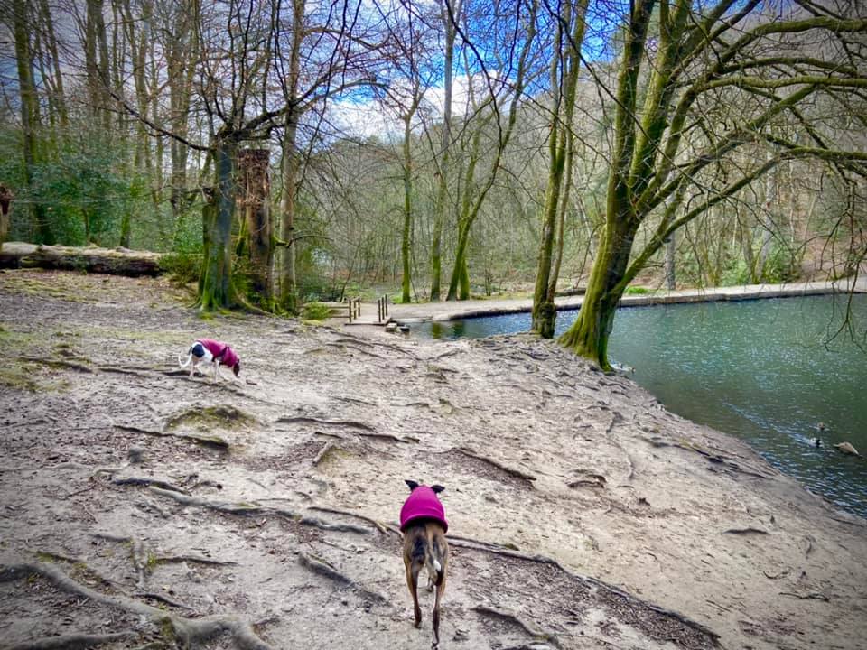
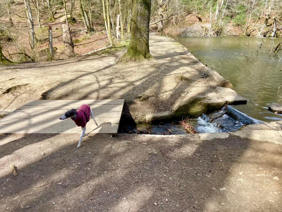
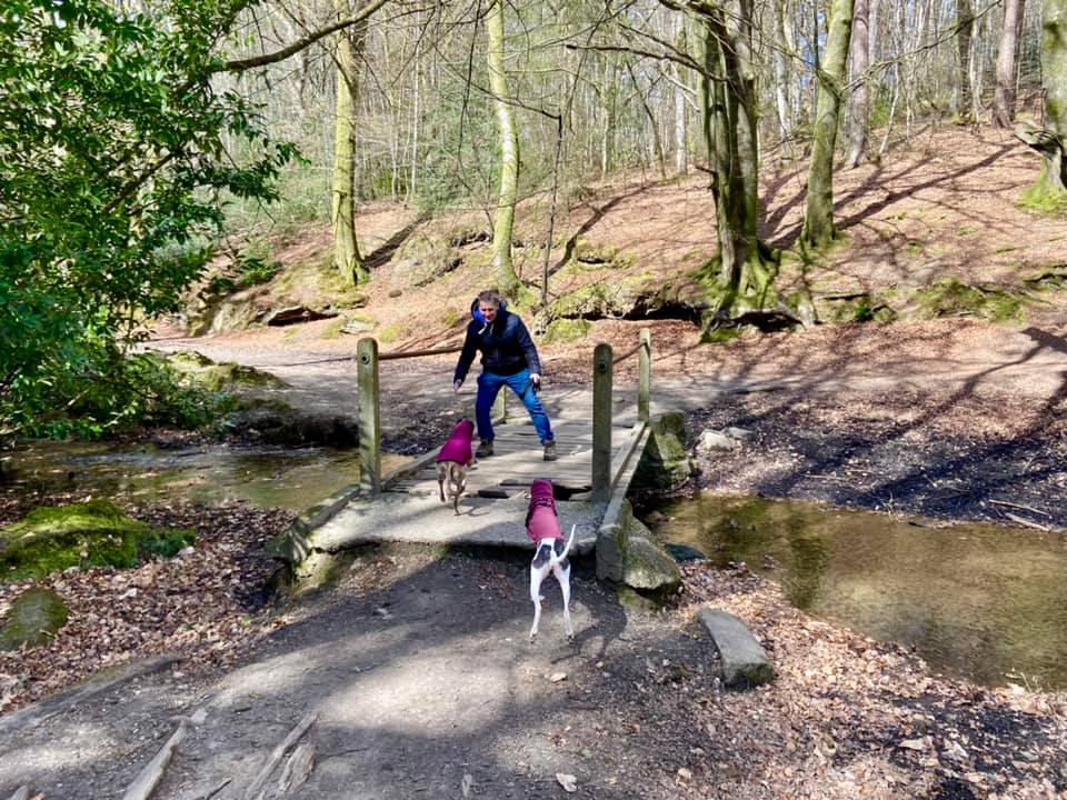
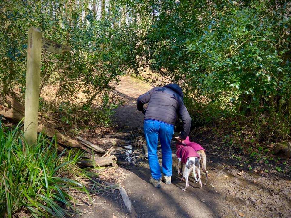
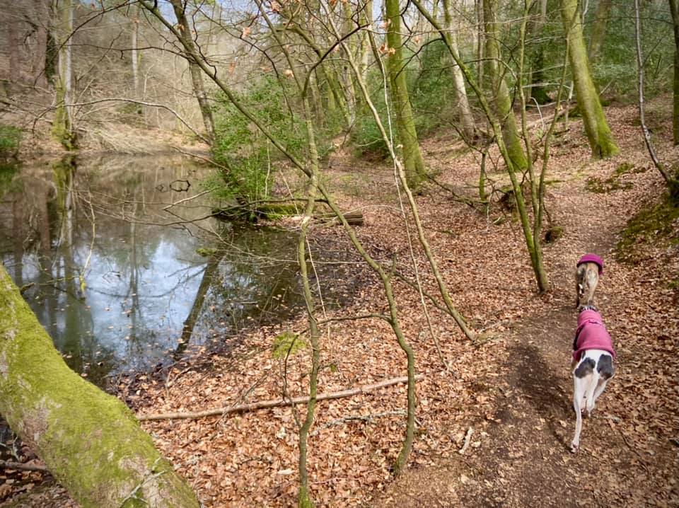
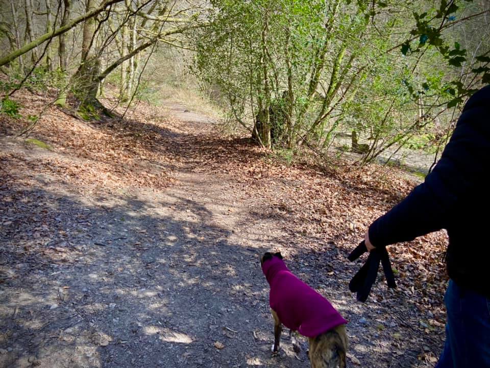
With the entrance to the car park behind you, head away from it to the rear and go down the steps at the end on the right, then turn left to walk past the information board, which has some blurb about Waggoner’s Wells and a line drawing of the area. The first pond/lake is on your right. After a few paces, at the fork, bear right to take the side nearer the water and walk towards the little bridge. Don’t go over the bridge, but turn left just before it and follow the path round left then right, with the stream /overflow channel and waterfalls on your right.

Walk along the side of the second large pond/lake. At the end of it, continue straight ahead alongside the waterfalls, ignoring the plank bridge to the right.
Walk along the edge of the third large lake, and at the end of it, ignore the path off to the right and continue straight into the woods. After a short distance, over to the right, you’ll see a couple of houses set back on the opposite slope (called Summerden and home to the National Trust warden, lucky sausage) and you’ll shortly arrive at a fork. Take the right hand path and go down the slope.
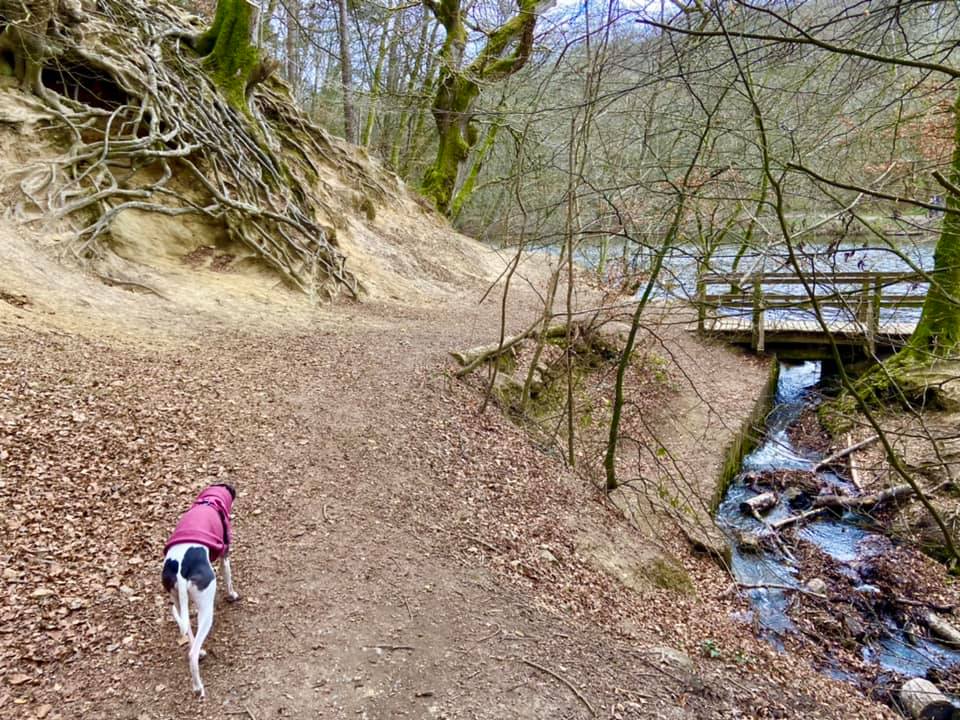
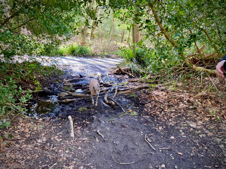
Turn right at the finger post for the bridleway, down to the bridge, where you cross the stream. It’s shallow and makes for good paddling.

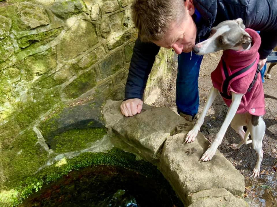
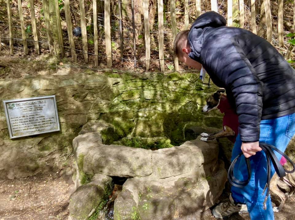
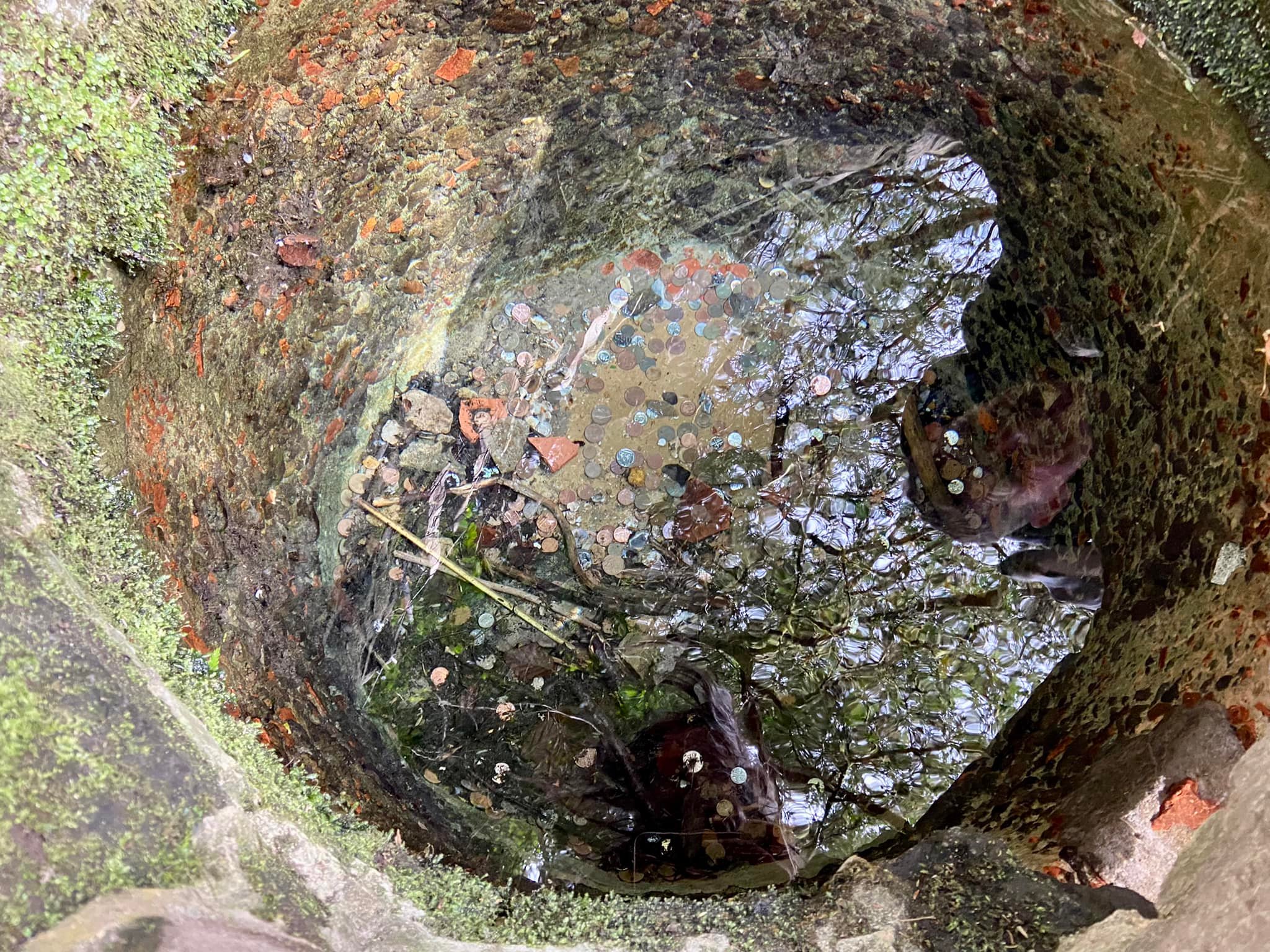
On the other side of the bridge, turn right and go up the slope on a barely visible path and along the bank. Continue straight on this little path and it’ll bring you to the wishing well.
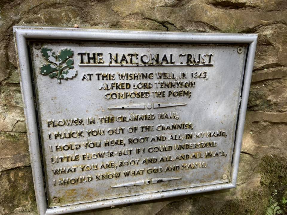
At this wishing well in 1863, Alfred Lord Tennyson apparently composed the poem “The Flower and the Crannied Wall”.
Flower in the crannied wall,
I pluck you out of the crannies,
I hold you here, root and all, in my hand,
Little flower – but if I could understand
What you are, root and all, and all in all,
I should know what God and man is
The well didn’t look like this at all back then though – its circular form wasn’t constructed until 1925-1928-ish, although it certainly looks like it’s been there forever.
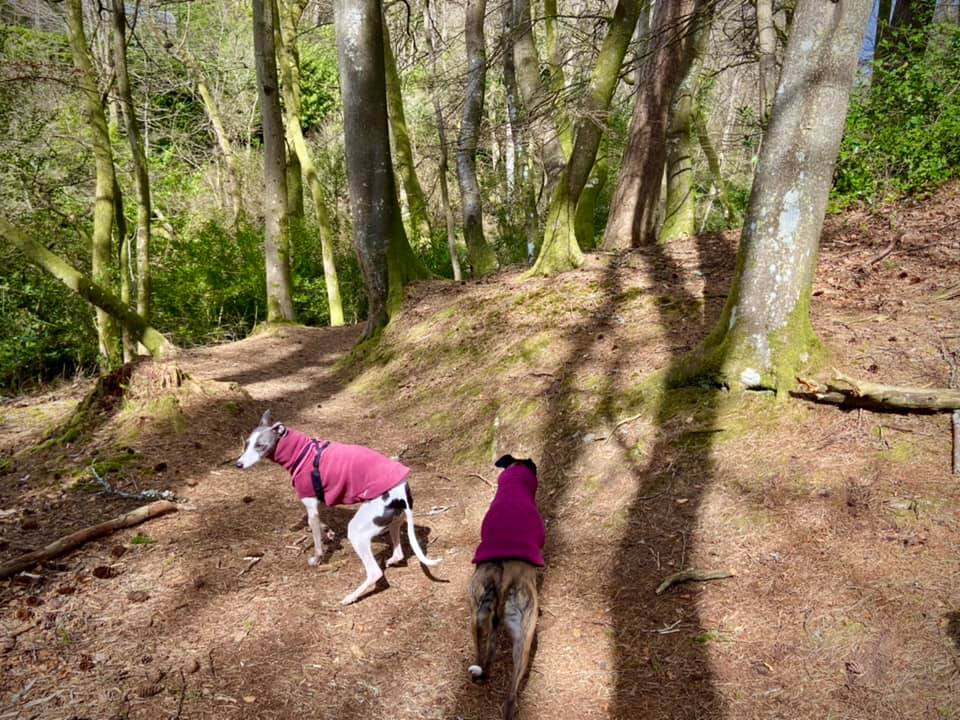
Anyway, when you’re done at the well – composing poetry or making a wish or neither of these things – continue on the path you are already on, heading up slope. Ignore steps and a path winding up to the left at the house and just keep going straight.
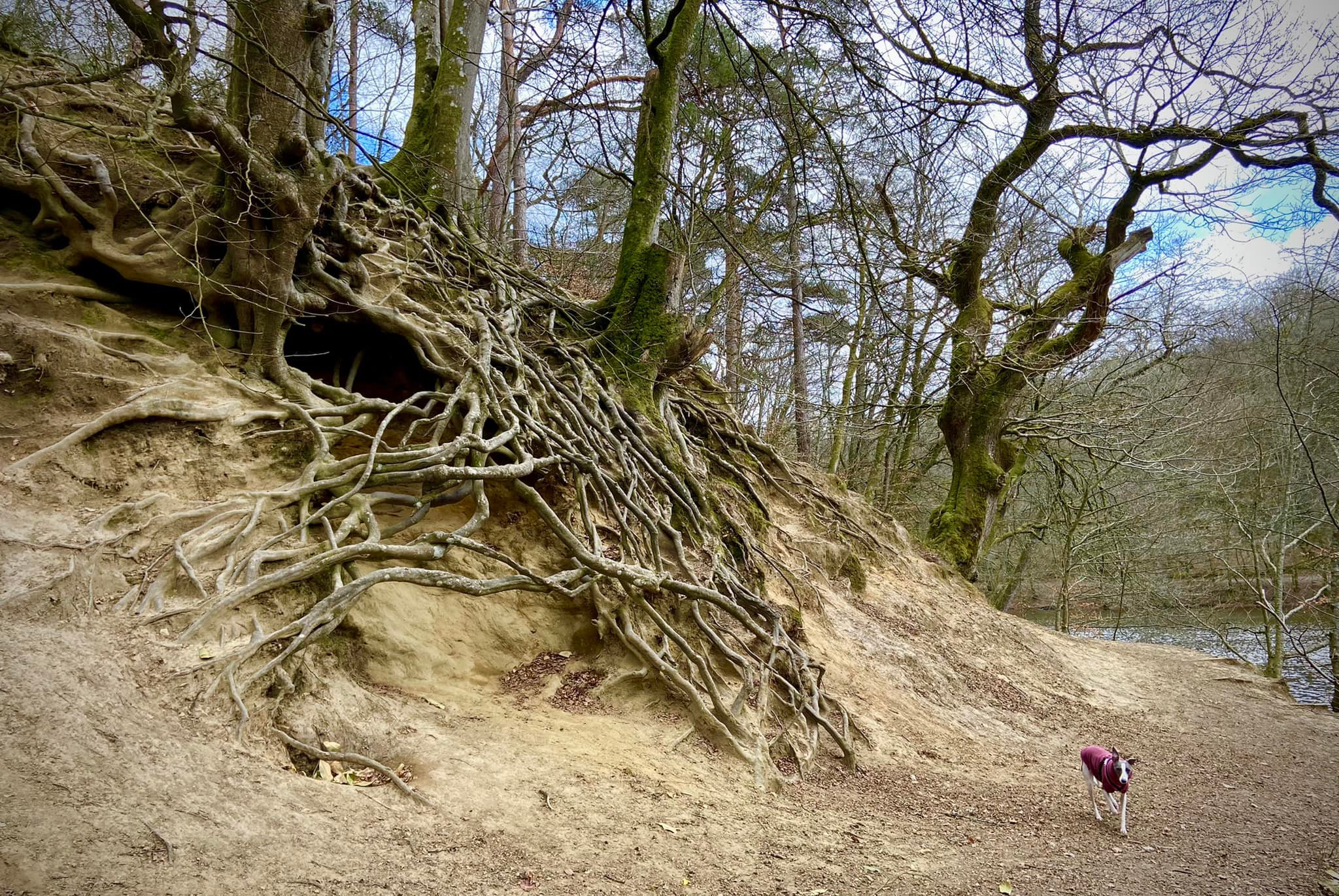
When you reach the little bridge off to the right opposite some trees with insane roots, ignore it and continue straight and up the steps, with the pond/lake on your right.

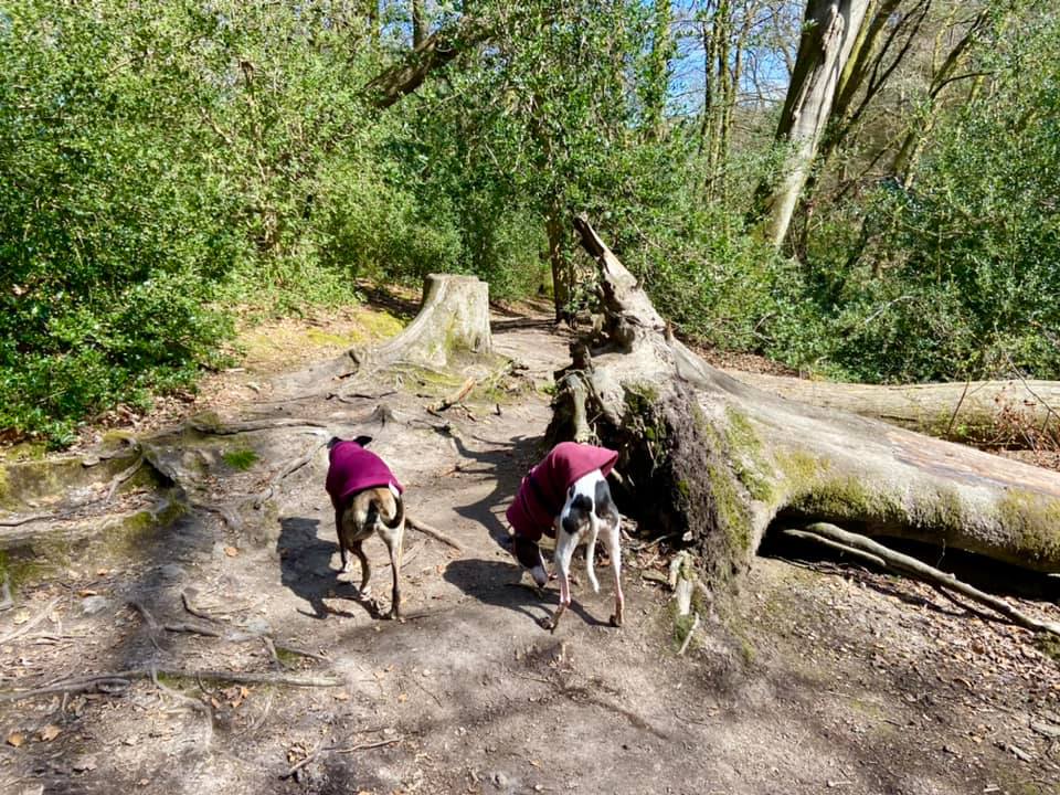
Pass where there is a tree that has fallen into the water (or, be like Jim, and risk falling in yourself by walking along it).

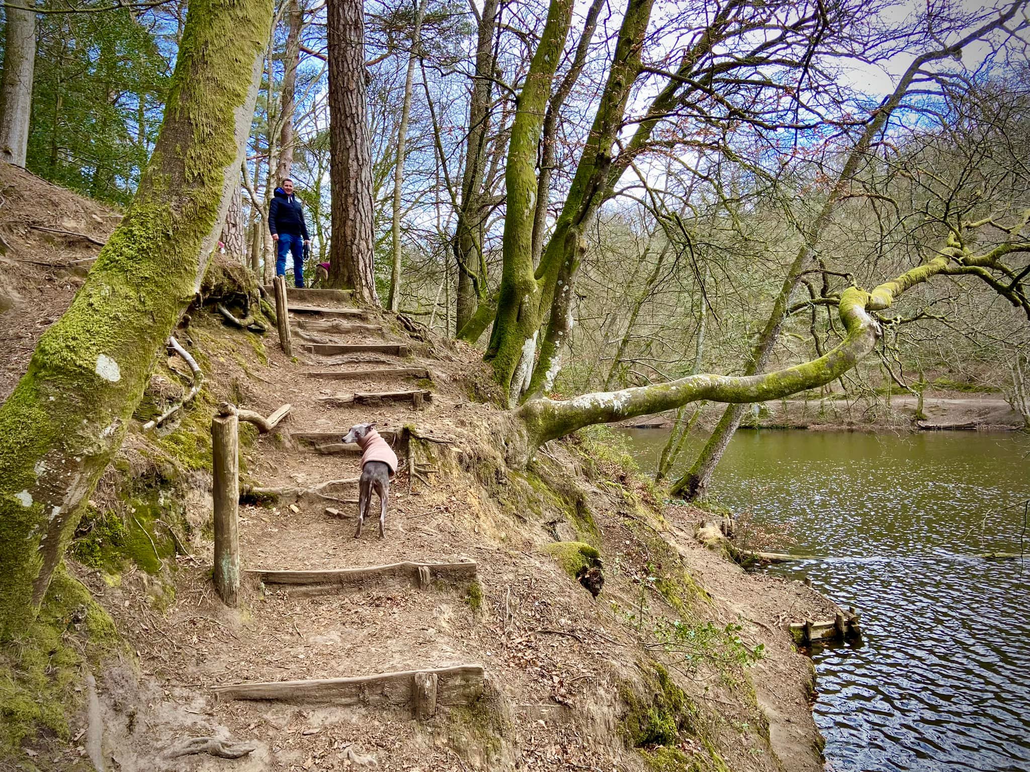
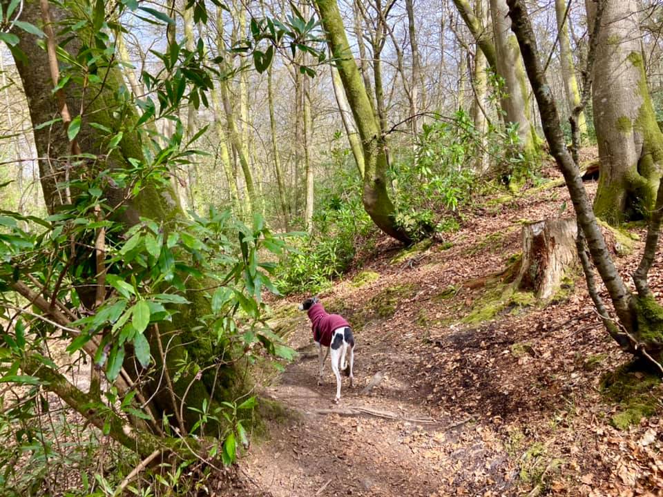
At the next pond/lake, ignore the path to the right that goes along the bottom edge and take the path up a couple of steps to the left of the water and along the bank.

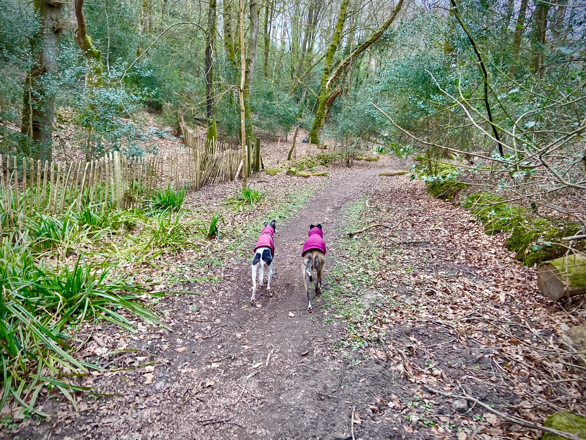
At the fork (where you can see a bench through the trees to the right), take the right hand fork, passing to the left of the bench. If your dog is off lead, put it on lead now as you’re about to arrive at the lane.
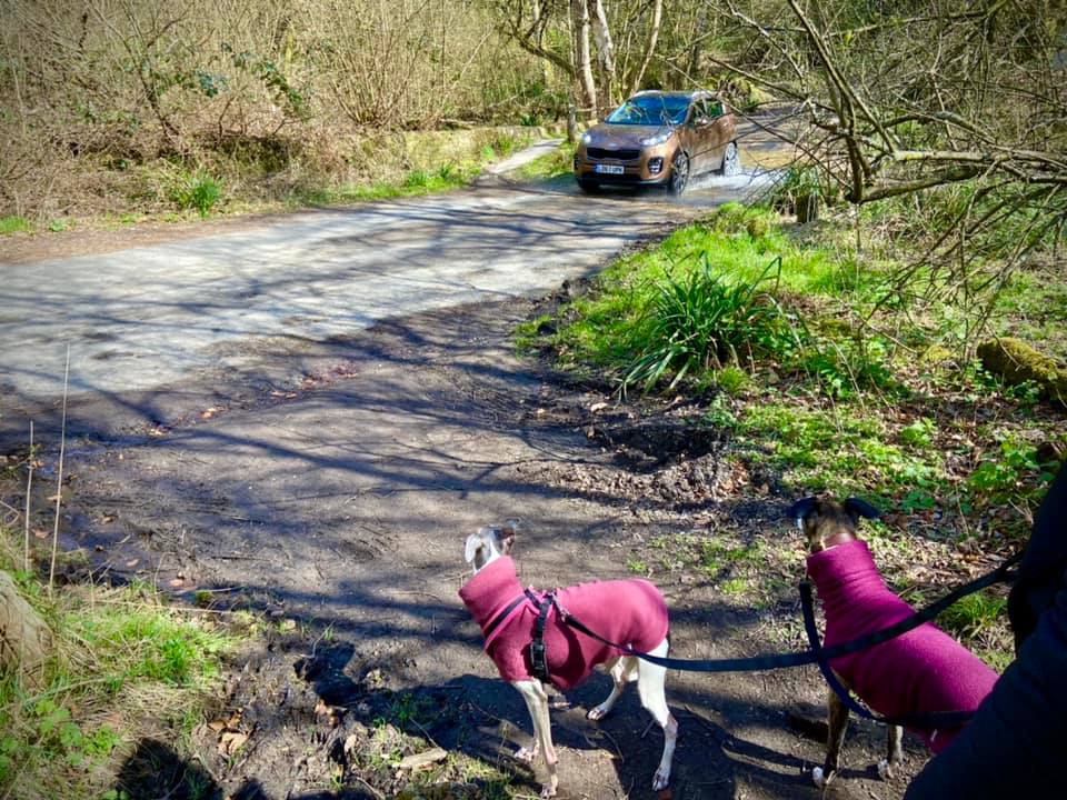
At the lane, turn right, crossing the ford (via the bridge or through the water) and walk a little way along the lane towards the right-hand bend that goes to the car park.
Just before the lane bends right, go left at a finger post marking the bridleway and through a little gap between trees and shrubs.

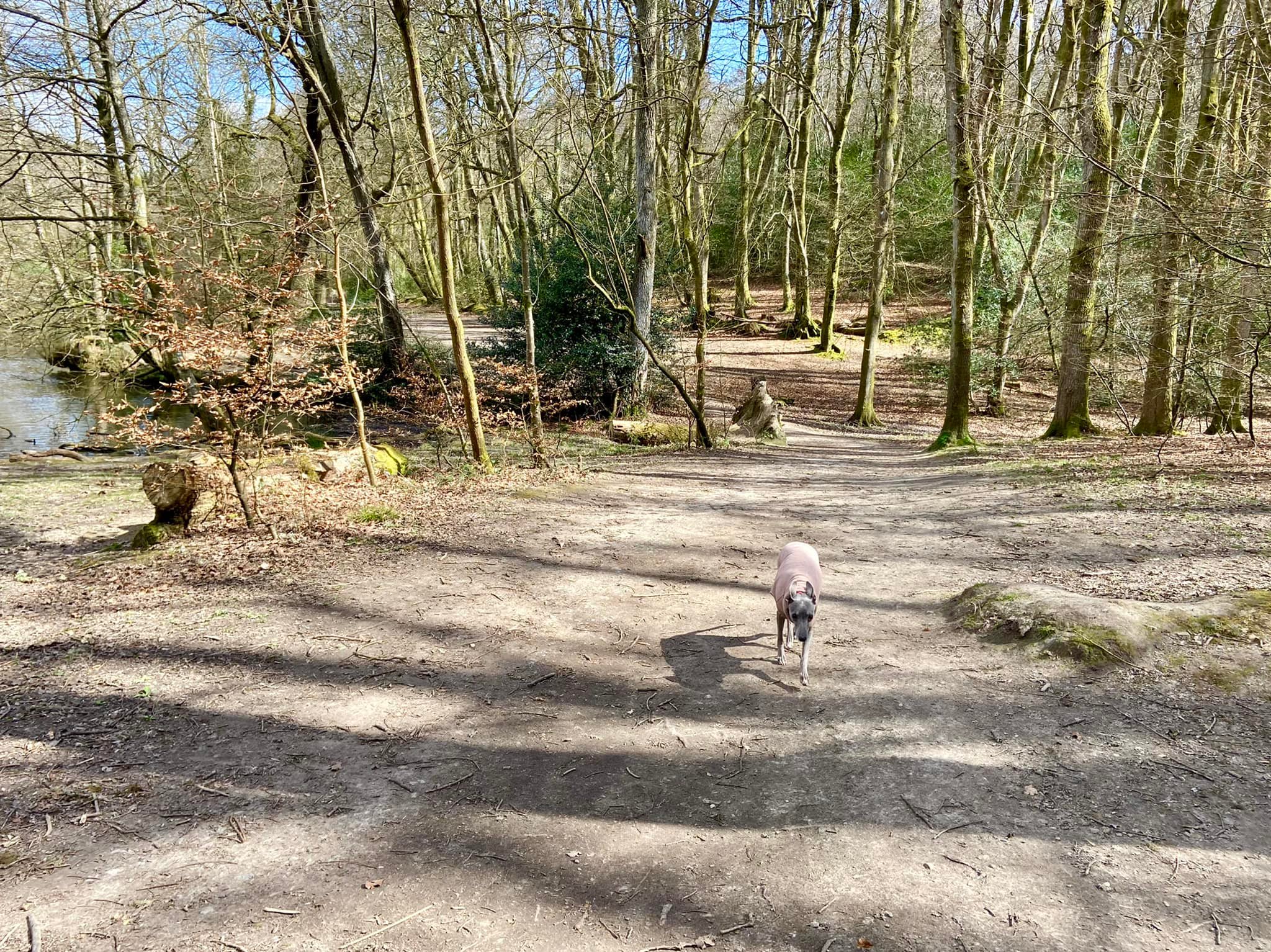
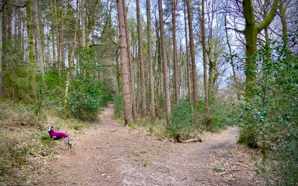
Once through the gap, the main path goes round to the right but you want to head off to the left, up the bank and then following its curve around to the right on a narrow path that runs along the contour of the hill. This path isn’t always that clear, so the photo below has an arrow on it!

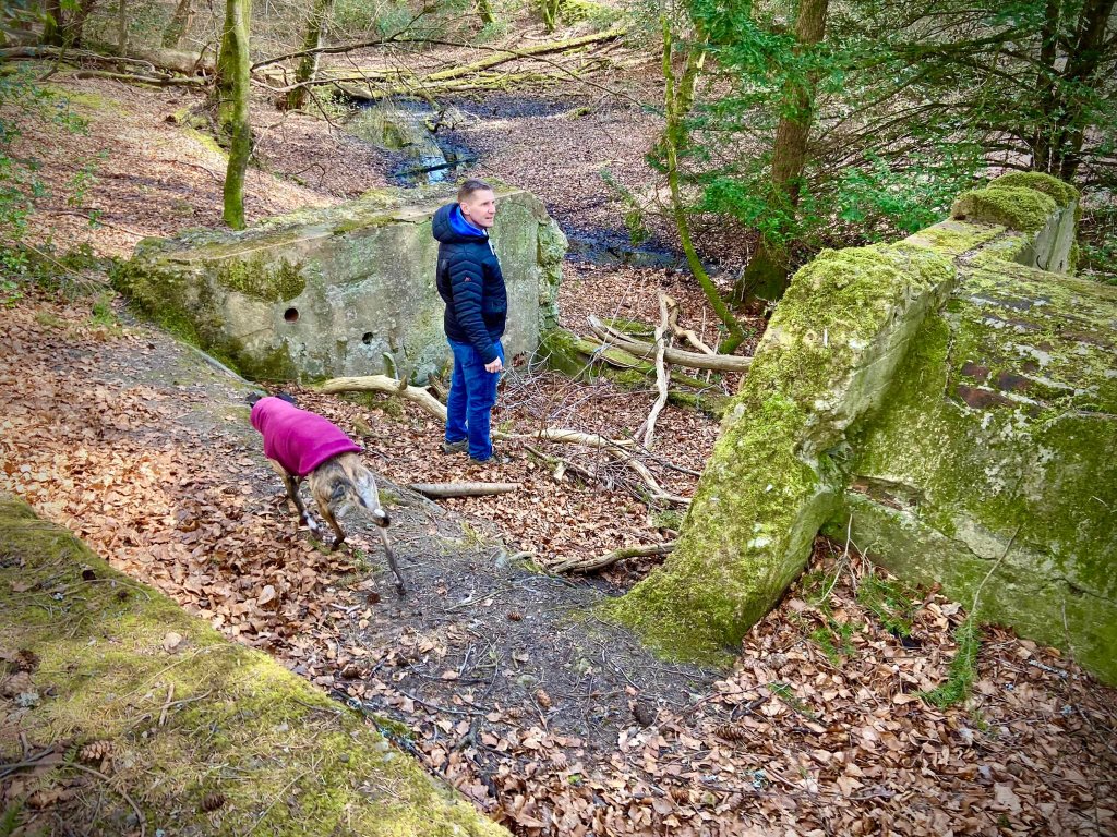
If you’ve taken the correct path, you’ll be able to see the stream on your left. If you’ve taken the wrong path, you’ll pass close to the ruins of buildings over to the right – so turn back and try again.
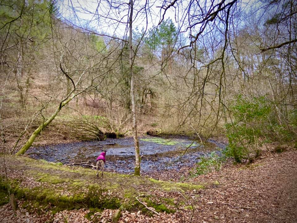
Follow the contour of the slope along the stream and then pass a stagnant pond, followed by a second stagnant pond.

Just keep going straight here. You’ll pass a number of gates on the left – stick to the straight ahead path every time.
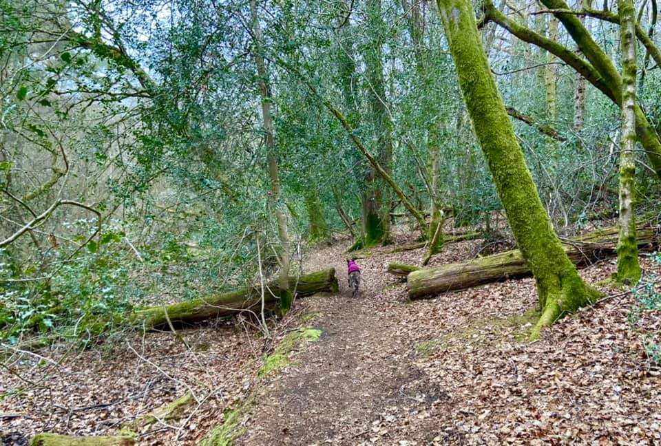
After the fourth gate on the left, the fence becomes a tall wire one like you get around school playing fields and then you’ll come down to a barrier. Go through the gap to the right of the barrier and after a few more paces, turn right on a holly lined path that heads up and away from the little building.

Shortly you come to a fork, where you take the right-hand, lower path.
Follow this all the way back to the bridleway finger post at the gap from the lane – passing the aforementioned ruined buildings, which will be on your left as you head down the slope. I don’t know what they are and neither does the internet, which is a bit of a surprise really.
Upon reaching the lane, turn left as if to walk to the car park – which you can do, but it isn’t the safest route especially on weekends and holidays when it’s busy. Walk a few steps and then come off to the right on a little path just before the lane bends up the slope to the car park entrance. Follow this back to the information board at the start, turning left when you reach it and going up the steps to the car park.

Leave a comment