
Page contents
About
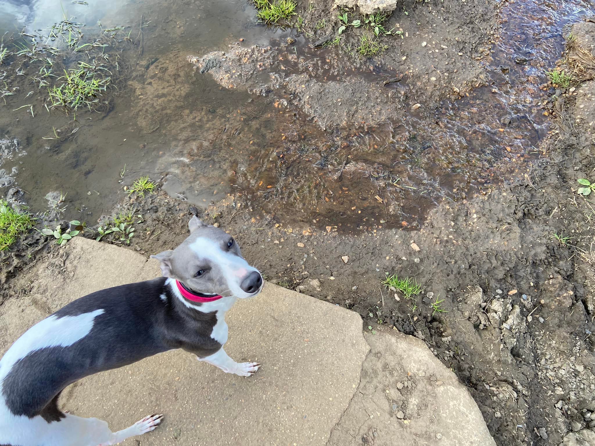
Gallery
Parking
Poo bins?
Self-guided walk
About
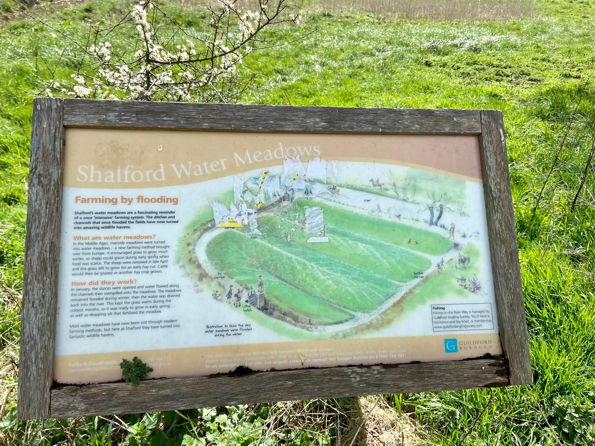
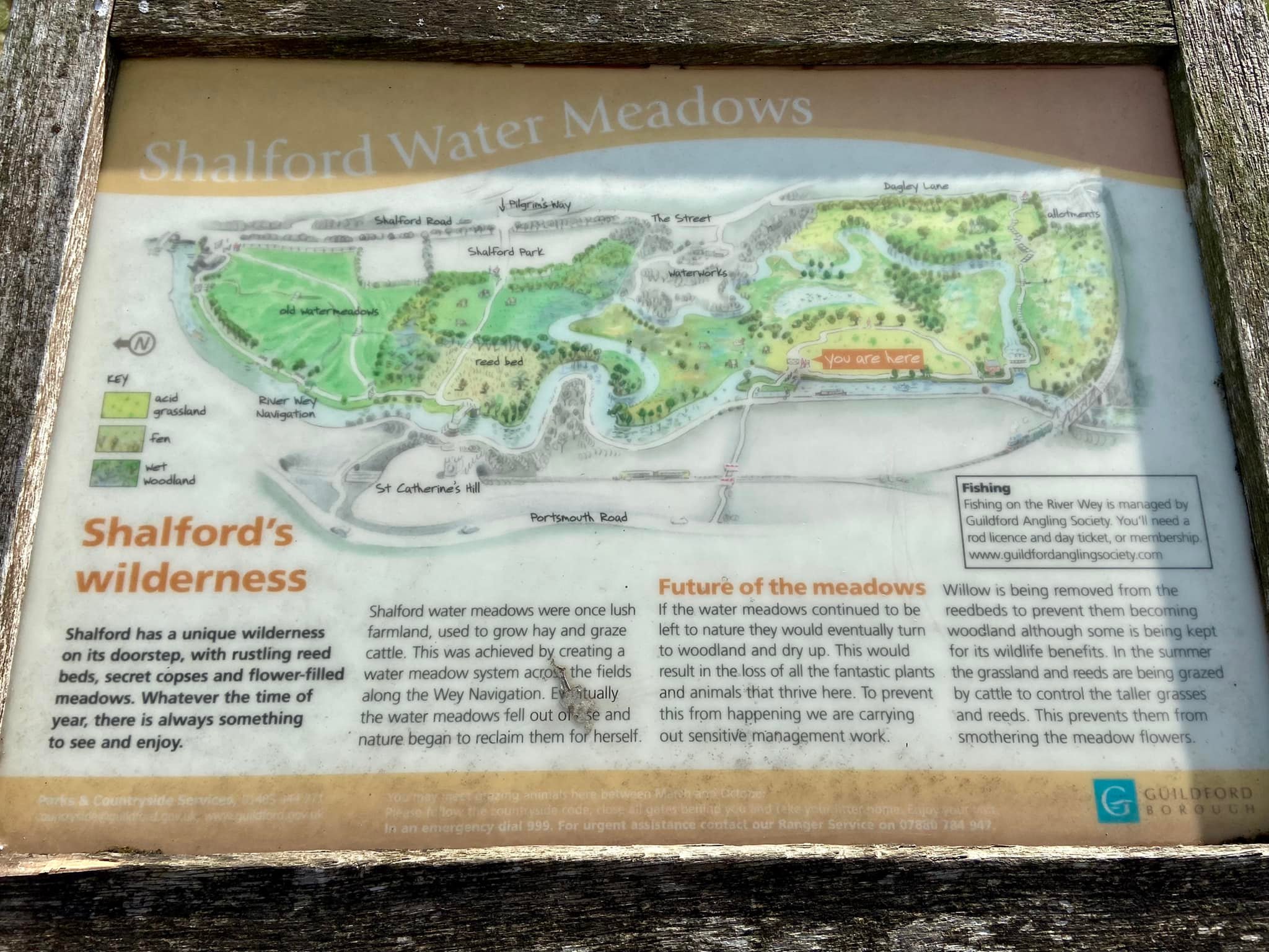
Shalford’s water meadows were once farmland used for growing hay and grazing cattle. They are a reminder of the area’s once “intensive” farming history (although clearly not intensive by today’s farming standards). In the Middle Ages, ditches and channels were created in natural riverside meadows and then deliberately flooded to turn them into water meadows, a practice imported from Europe. How very international.
The cycle started in the winter, when the river was “helped” to flood into the channels through the meadows through open sluices. The river water would be left to sit on the fields and keep the ground warm during the coldest months, causing the grass to sprout much earlier in the spring, which meant sheep could be grazed here at a time when food was usually scarce. In late April, the sheep would be moved on and the grass allowed to grow a while before being cut for hay. Cattle would then be grazed on the land, or another hay crop grown.
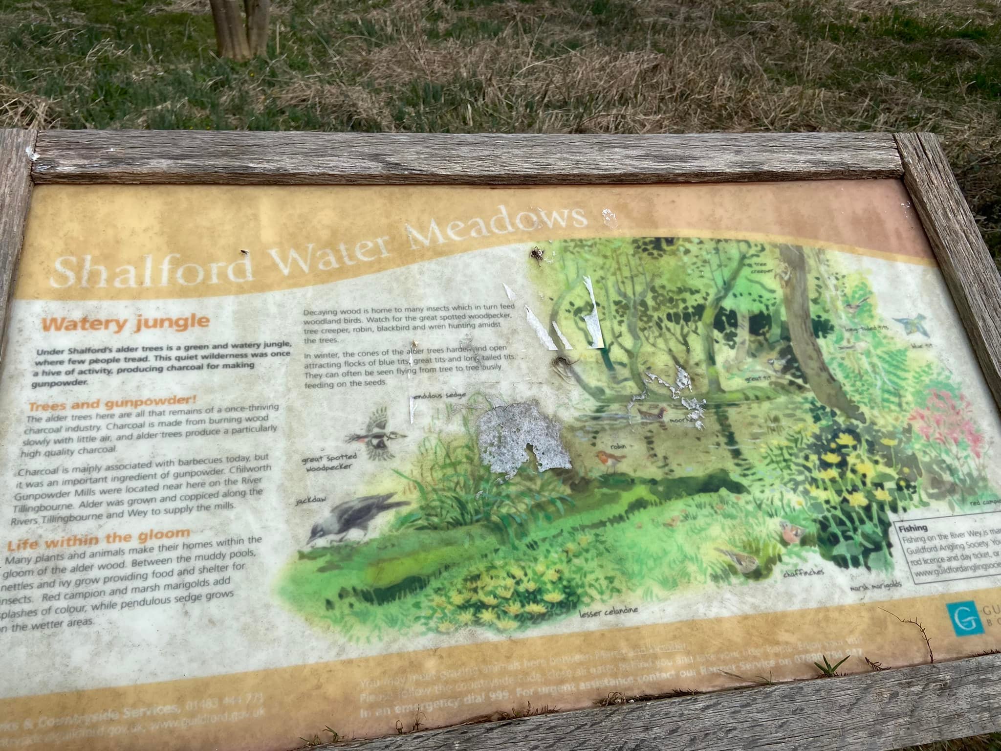
The alder trees that grow between the footbridge by the little stream and the lock keeper’s cottage played an important role in the area’s gunpowder industry. Alder trees, when burnt, produce a particularly high quality charcoal. Charcoal is a key ingredient in gunpowder, which was made at nearby Chilworth Gunpowder Mills (see this Walks with Rena post for a walk around the mills’ ruins).
Most water meadows in the UK have been lost through modern farming methods, but Guildford Borough Council carefully manages this delicate ecosystem at Shalford, removing willow from the reedbeds and grazing cattle in the fields to keep the grasses in check so that they don’t smother meadow flowers. If the water meadows were left to nature, they would gradually dry out and be taken over by woodland.
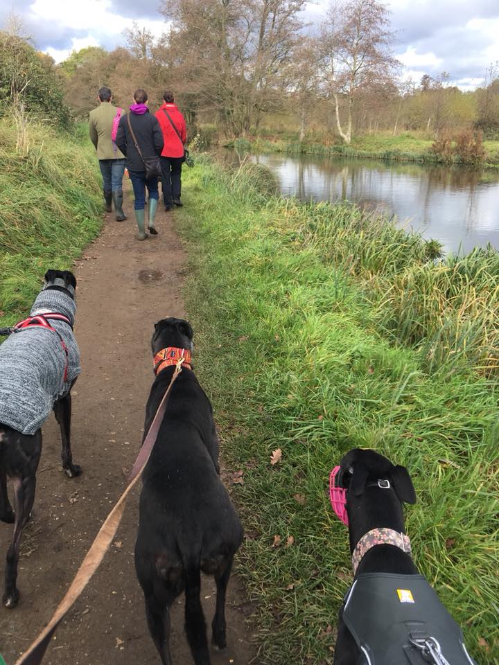
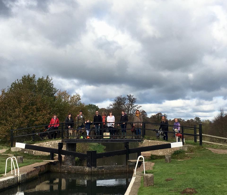
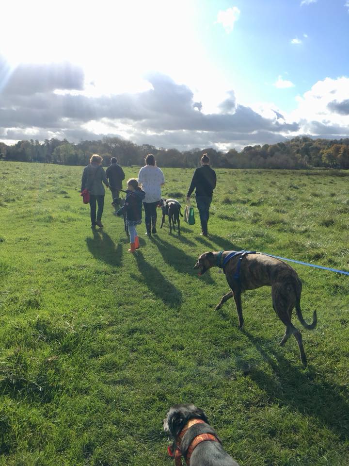
Gallery: What’s it like here?


Parking
Park in Dagden Road, post code GU4 8DD.
Poo bins?
Please take rubbish away with you.
Self-guided walk
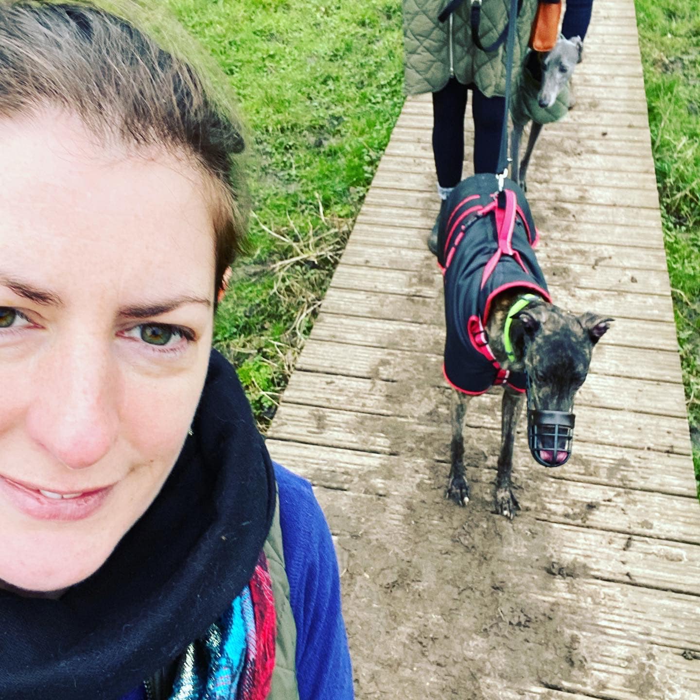
Here is a Footpath app route from Dagden Road down through the water meadows and across St Catherine’s Lock. It then guides you along the Wey, back over the water and through the meadows again, before looping back to the start down the back of The Seahorse pub. The route is also on AllTrails.
Length: approximately 2.9 miles/4.6 km
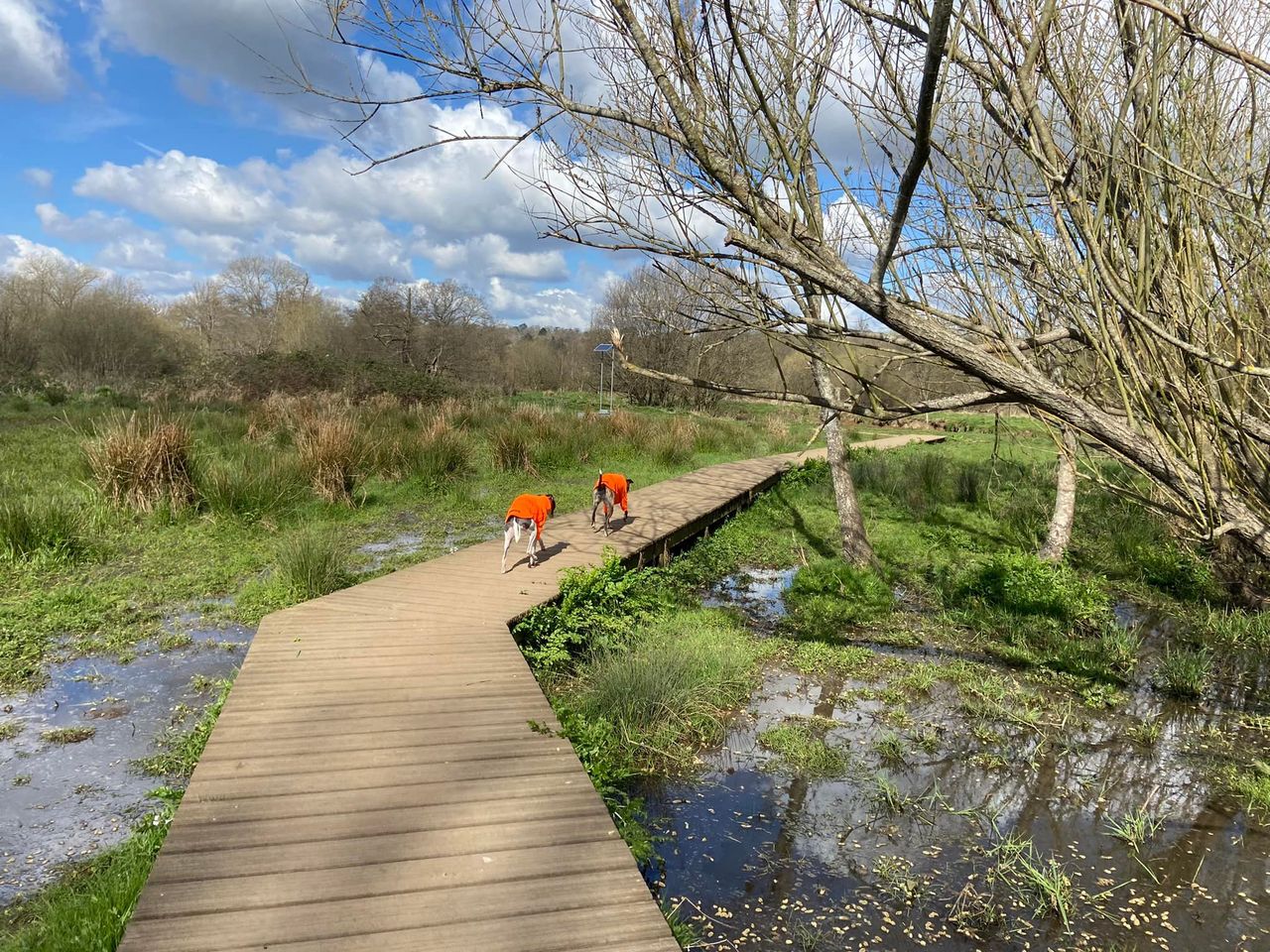
Terrain: This walk can be very wet and muddy from autumn through spring – no surprise, these are water meadows after all. In winter, some areas are simply impassable so avoid October through to March really – to be on the safe side. Things do tend to start to dry out from April but it’s still very soggy underfoot. Whatever time of year, wear decent footwear like boots or wellies. In the summer, there isn’t much shade so do this early or late in the day.
Stiles/kissing gates? No stiles, two kissing gates
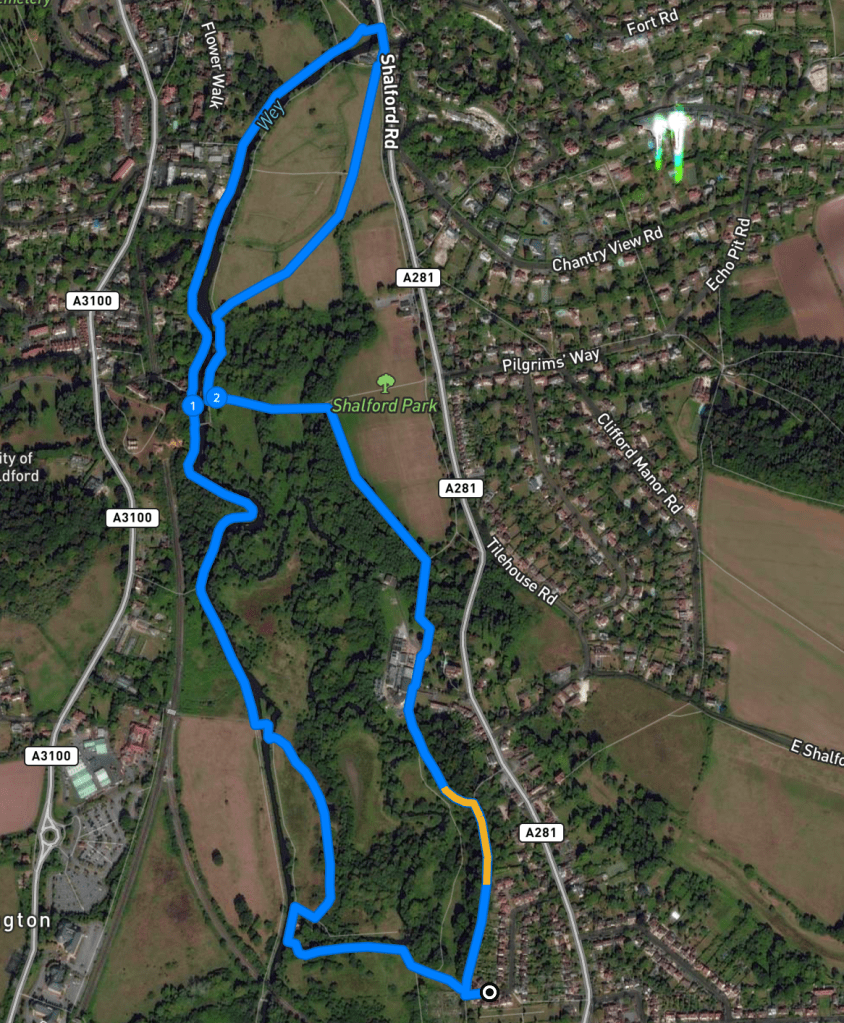
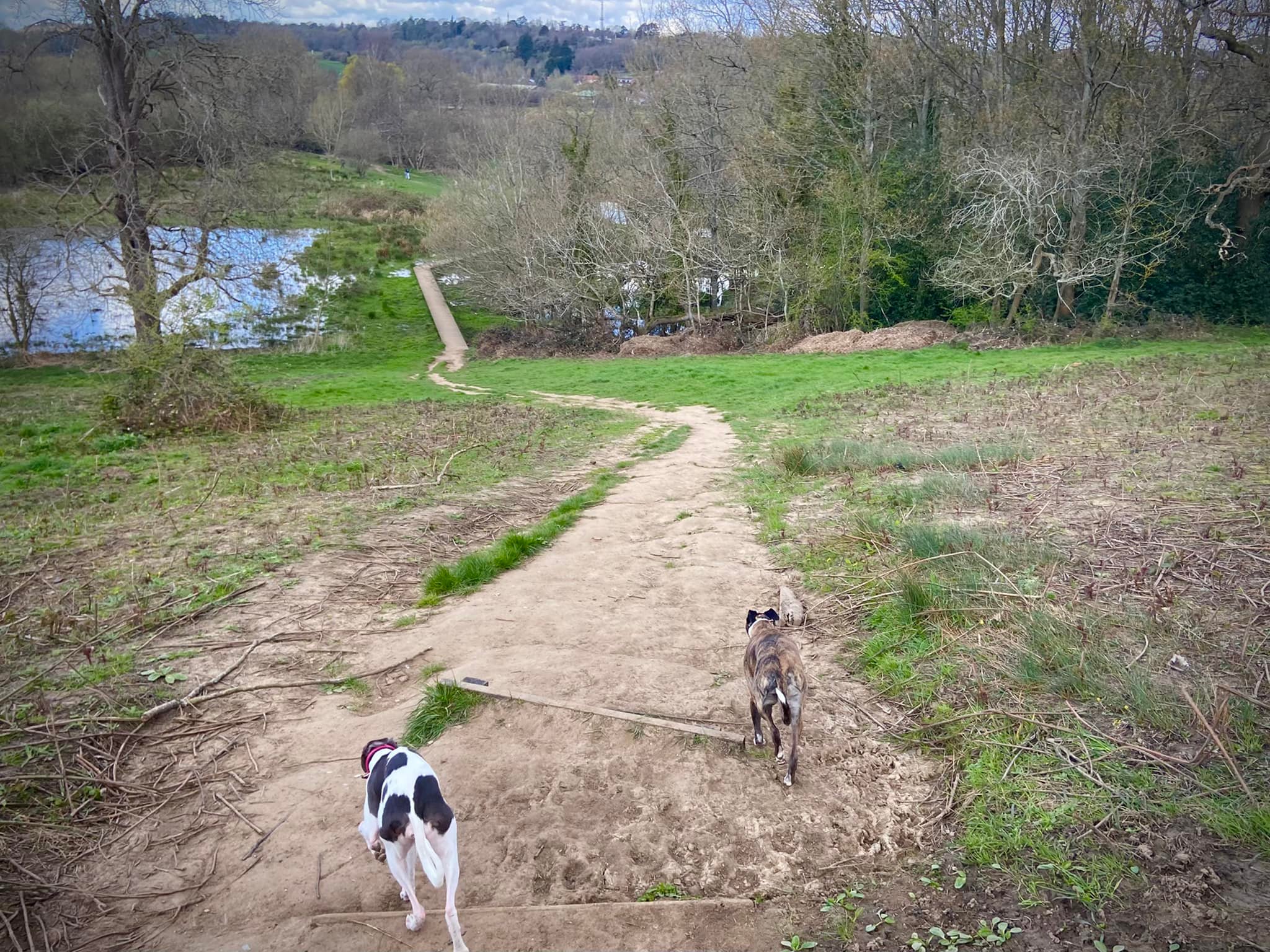
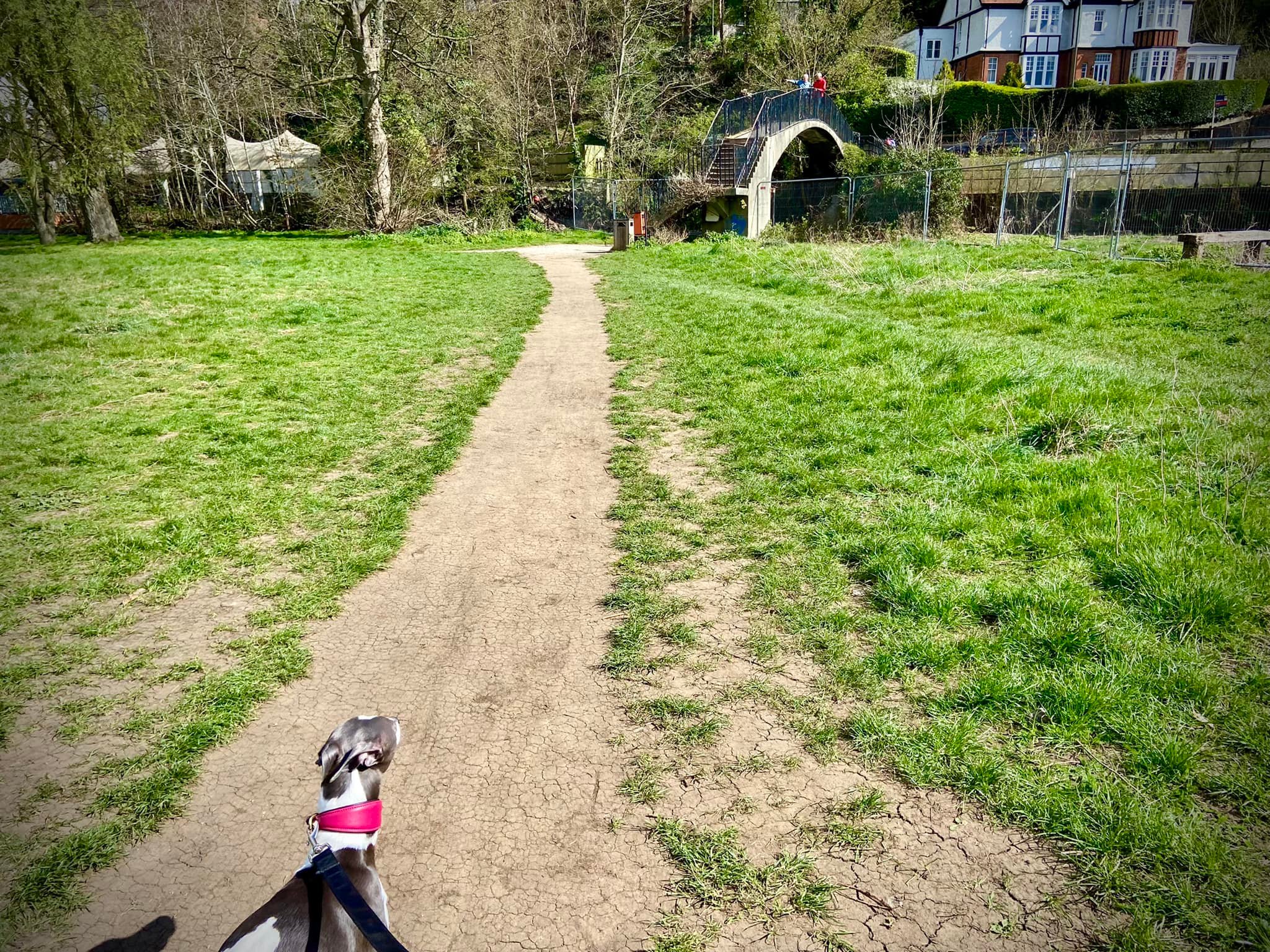
Park as near to the turning circle at the far end of the road as you can and take the narrow alleyway between the two houses. At its end, dog leg right then immediately left and go through the metal kissing gate. Head down the steps and the slope and onto the boardwalk.
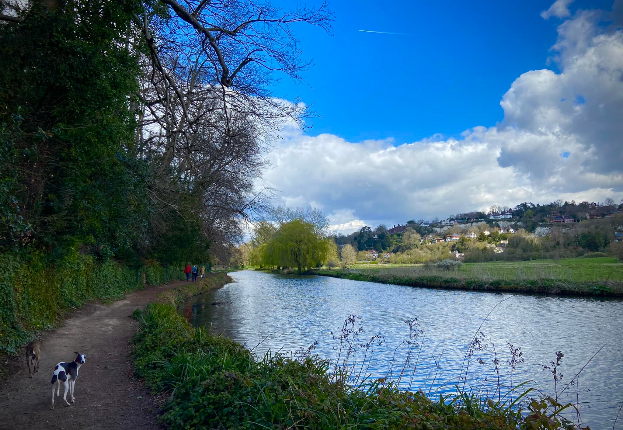
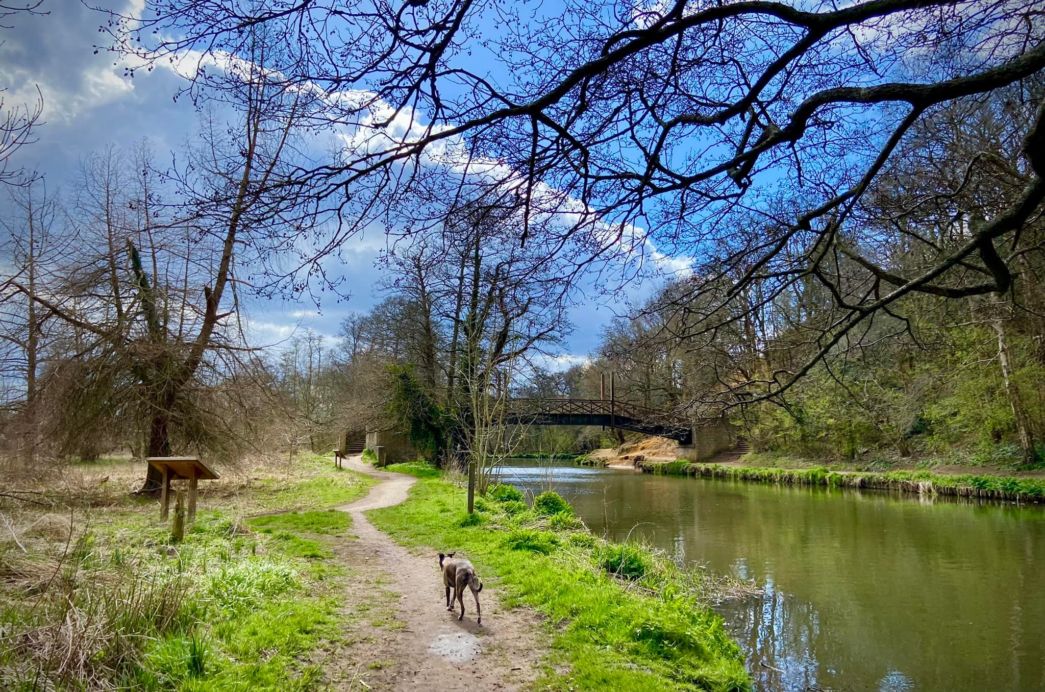
Turn left at the end of the boardwalk so that you’re walking with the River Wey Navigation on your right.
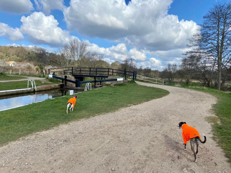
Cross at the weir and follow the path round to the left then right, passing the lock keeper’s cottage. Usually lock keeper’s cottages are built right next to the locks but you can see St Catherine’s Lock is some way ahead. It was decided that this was a better location for the cottage as it meant the keeper could attend quickly to the more critical job of controlling the level of water through the weir’s sluices. The building here today was built at a cost of £239 in 1909 to replace the original timber one constructed in 1813 as it had become too dilapidated to repair. This point is quaintly known locally as the ‘Riff-Raffs’ and was named at some unspecified time in the past after some folk who lived nearby that were considered to be pretty unsavoury.
Go through the little gate and walk along the river to the lock, passing through the metal kissing gate and over St Catherine’s Lock. Opened in 1764 when the Navigation started to trade, it was originally built of timber but in 1909 it was rebuilt in concrete. It has the smallest fall of water on the Navigation of less than a metre (0.84m to be precise). The weir and cut running alongside it were added as part of improvement works carried out in the 1930s.
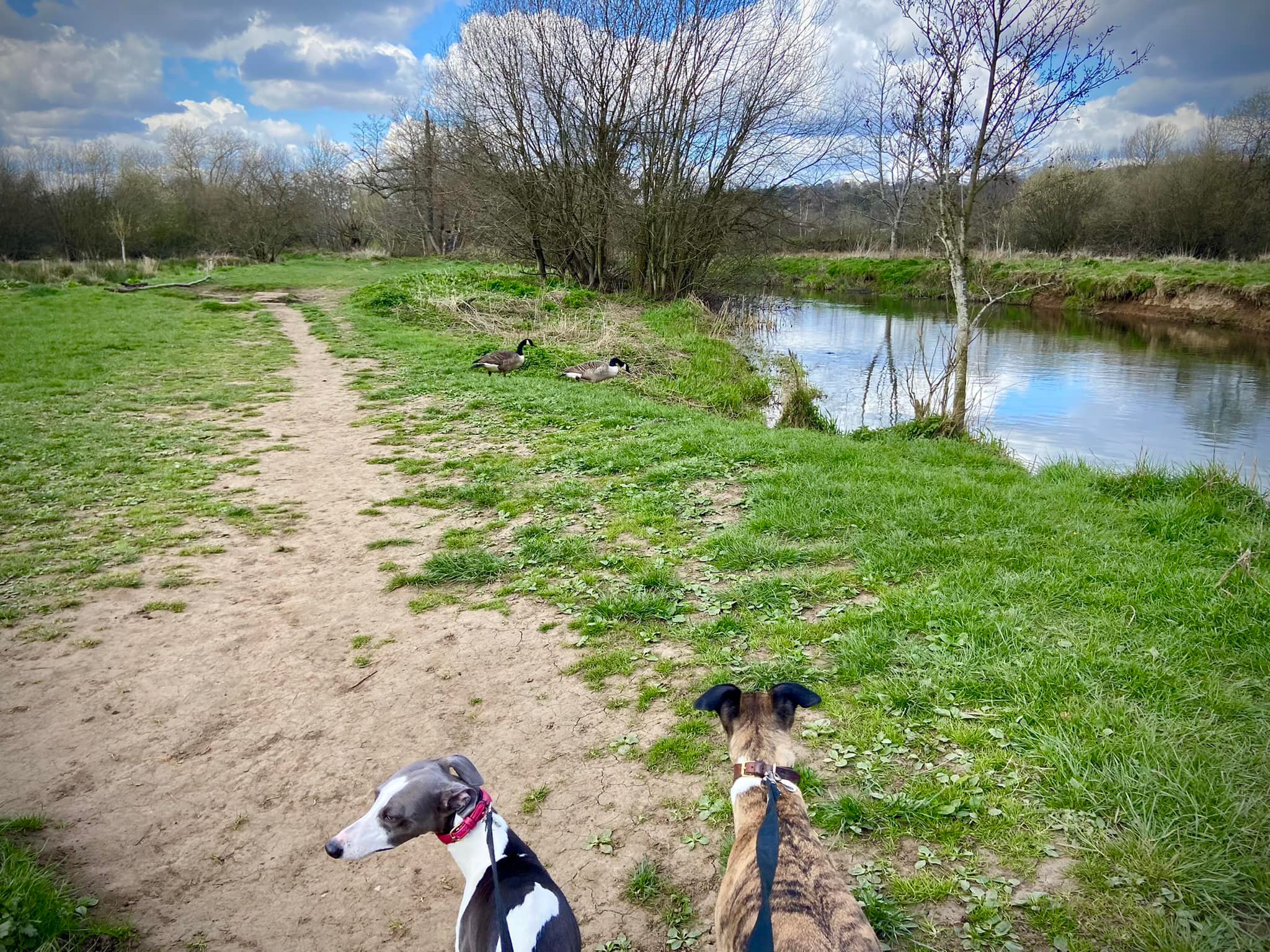
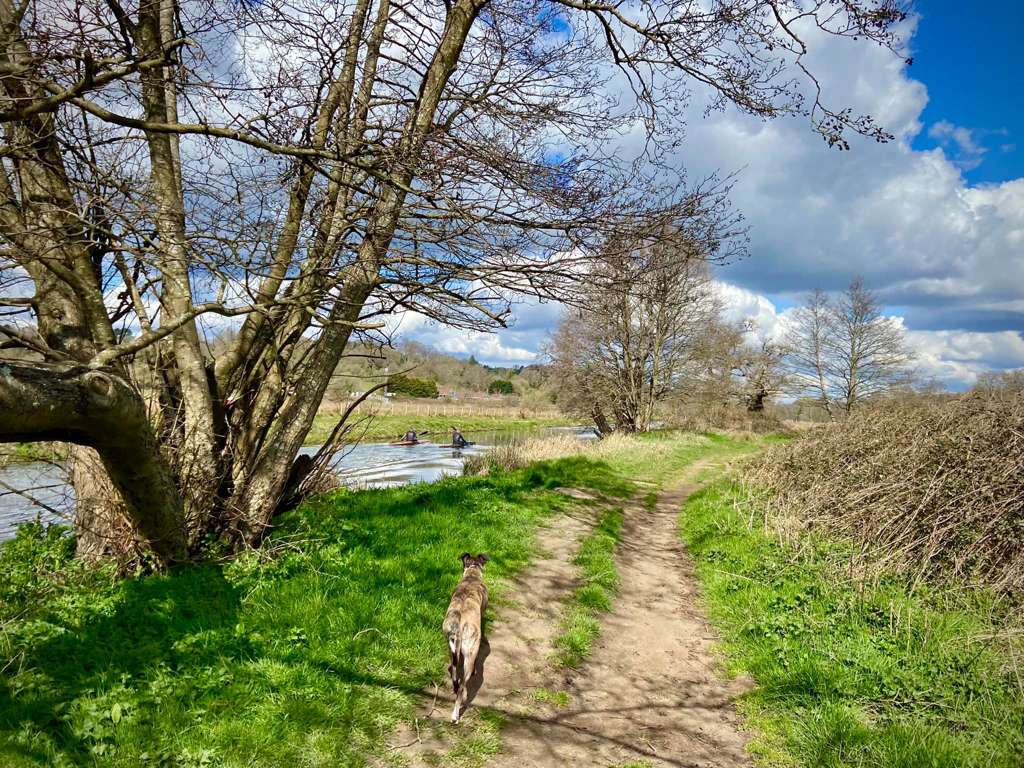
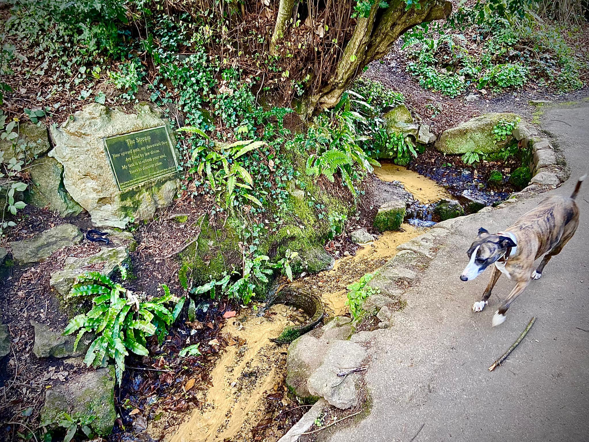
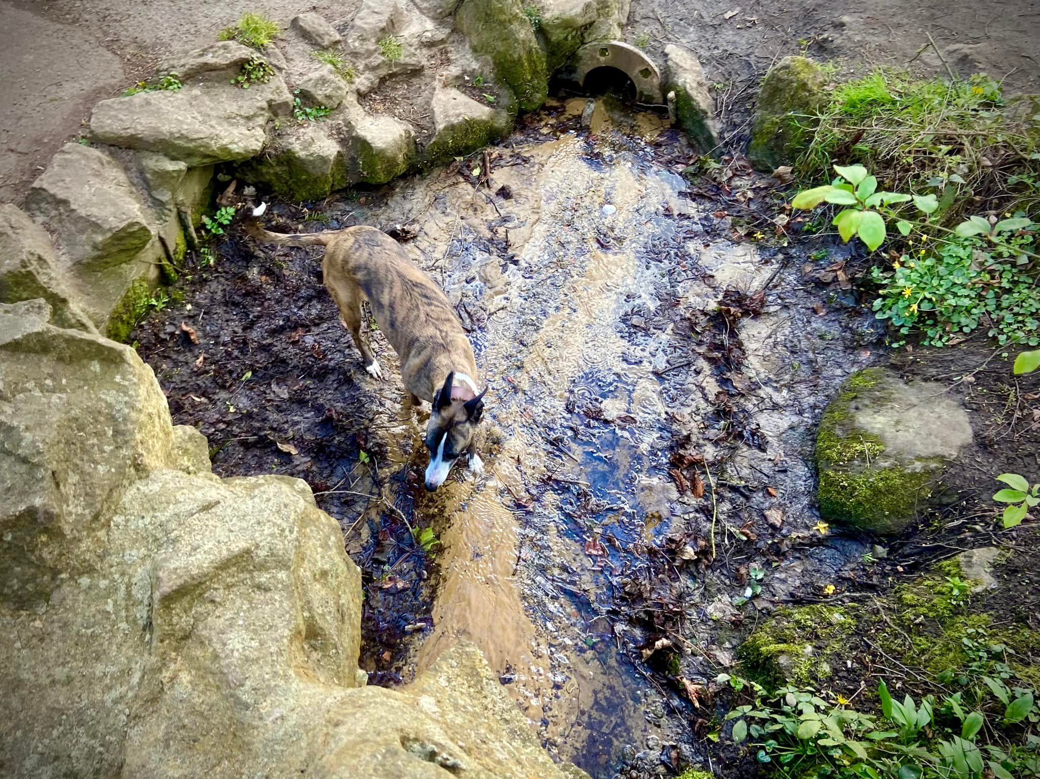
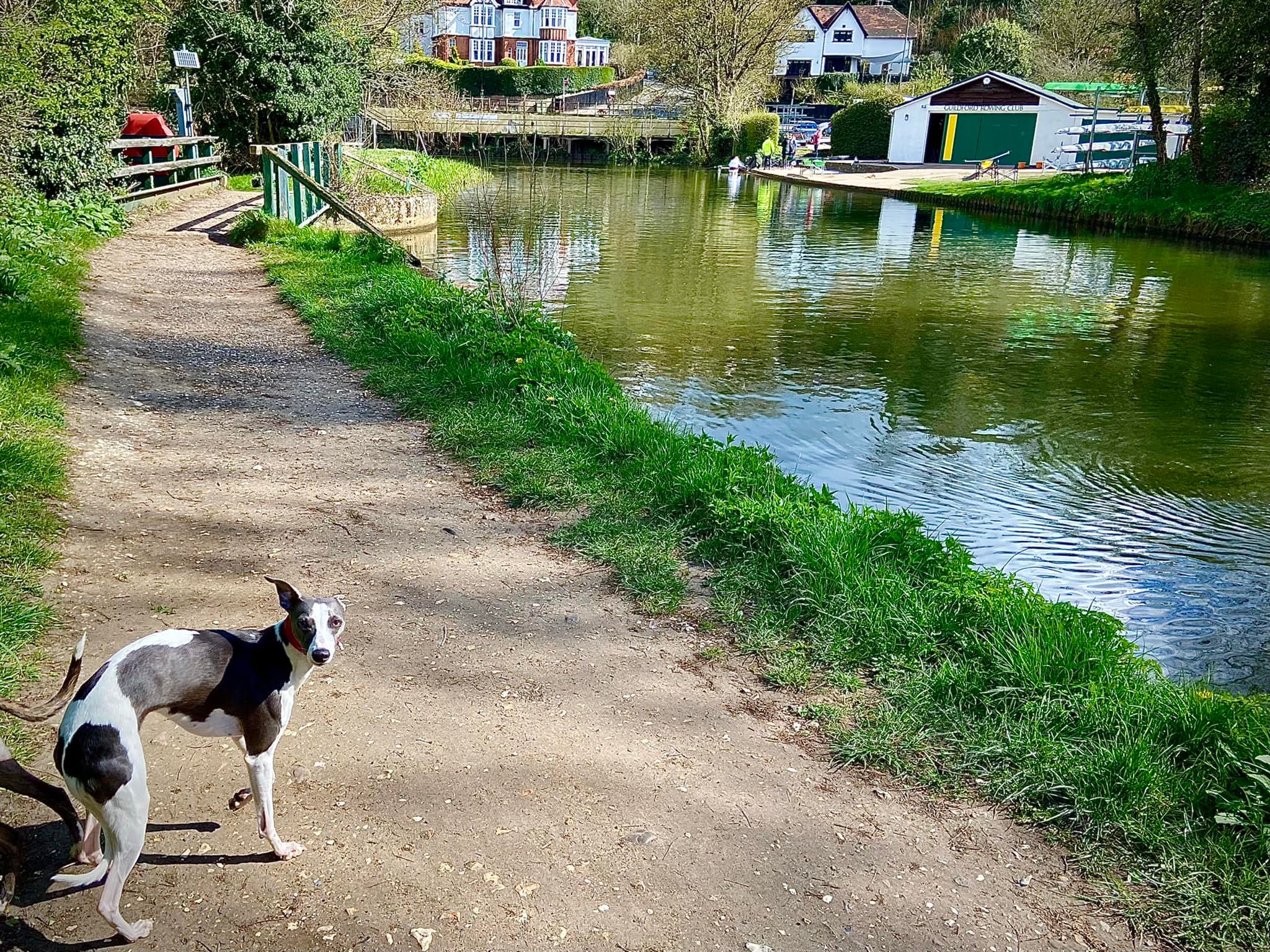
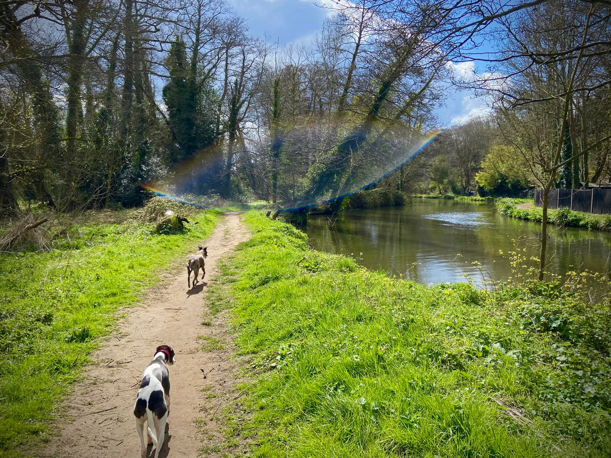
On the other bank, turn right and walk along the tow path. You stay on this for about a mile all the way down to Guildford Rowing Club. On your way, notice that you pass under a bridge, just after which there is a little stream trickling down from the left.
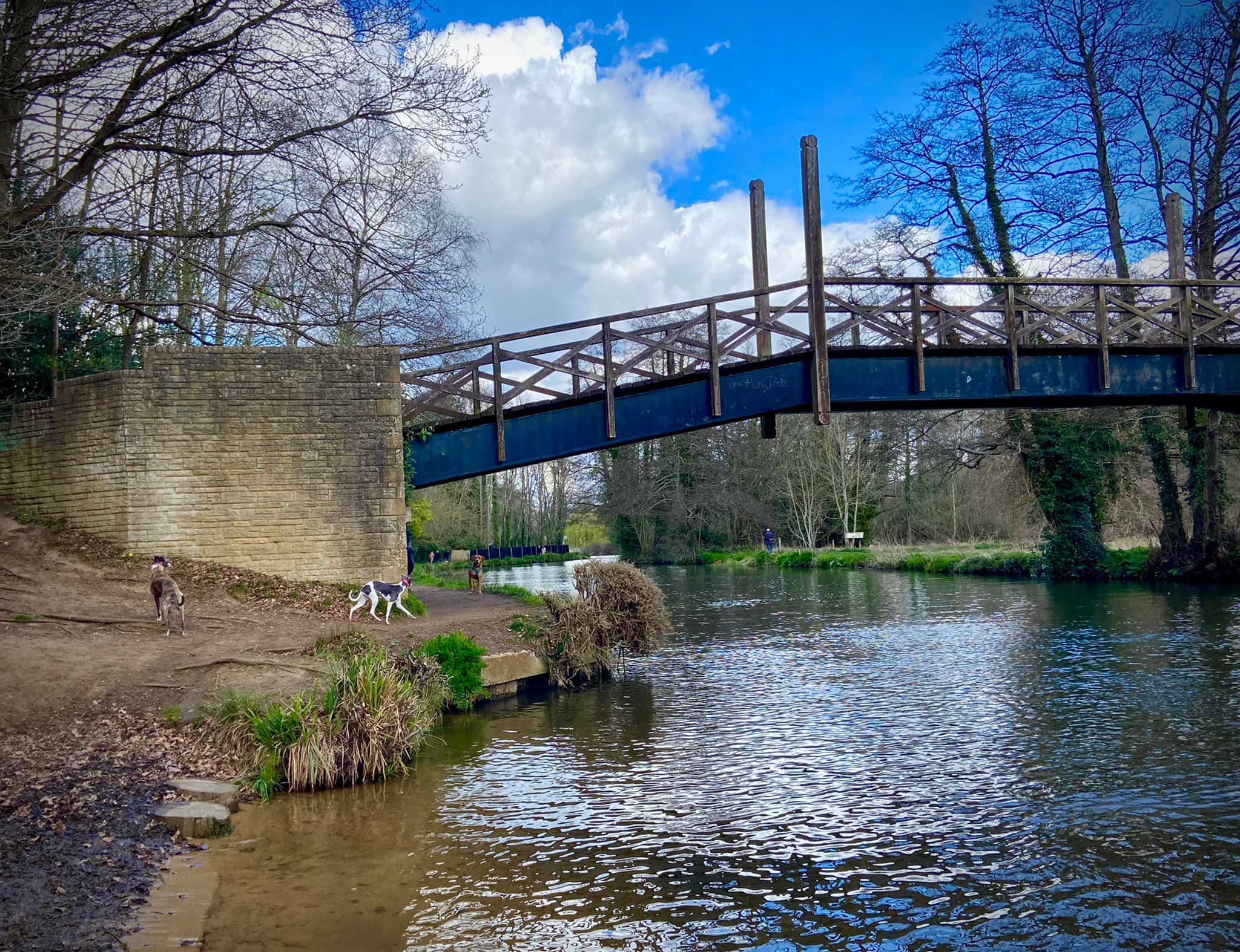
When you reach the rowing club, if your dog is off lead, put them back on for the next little bit. Cross the weir and head towards the road. Go over the footbridge over the canal right by the rowing club (marveling at the grooves for bicycles) and turn right on the other side.

Pass through the rowing club members’ car park and then you have a choice here: to walk back along the water’s edge or go through the water meadows.
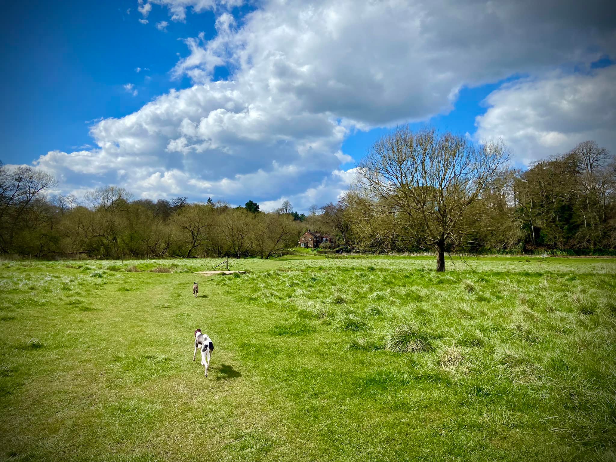
Water meadows route
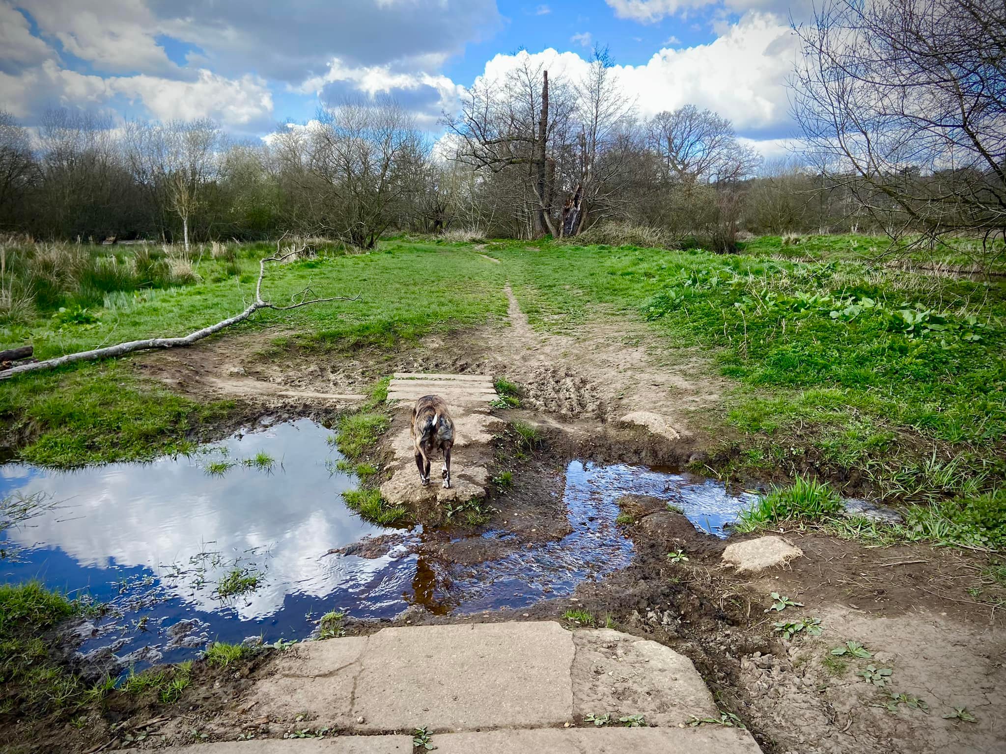
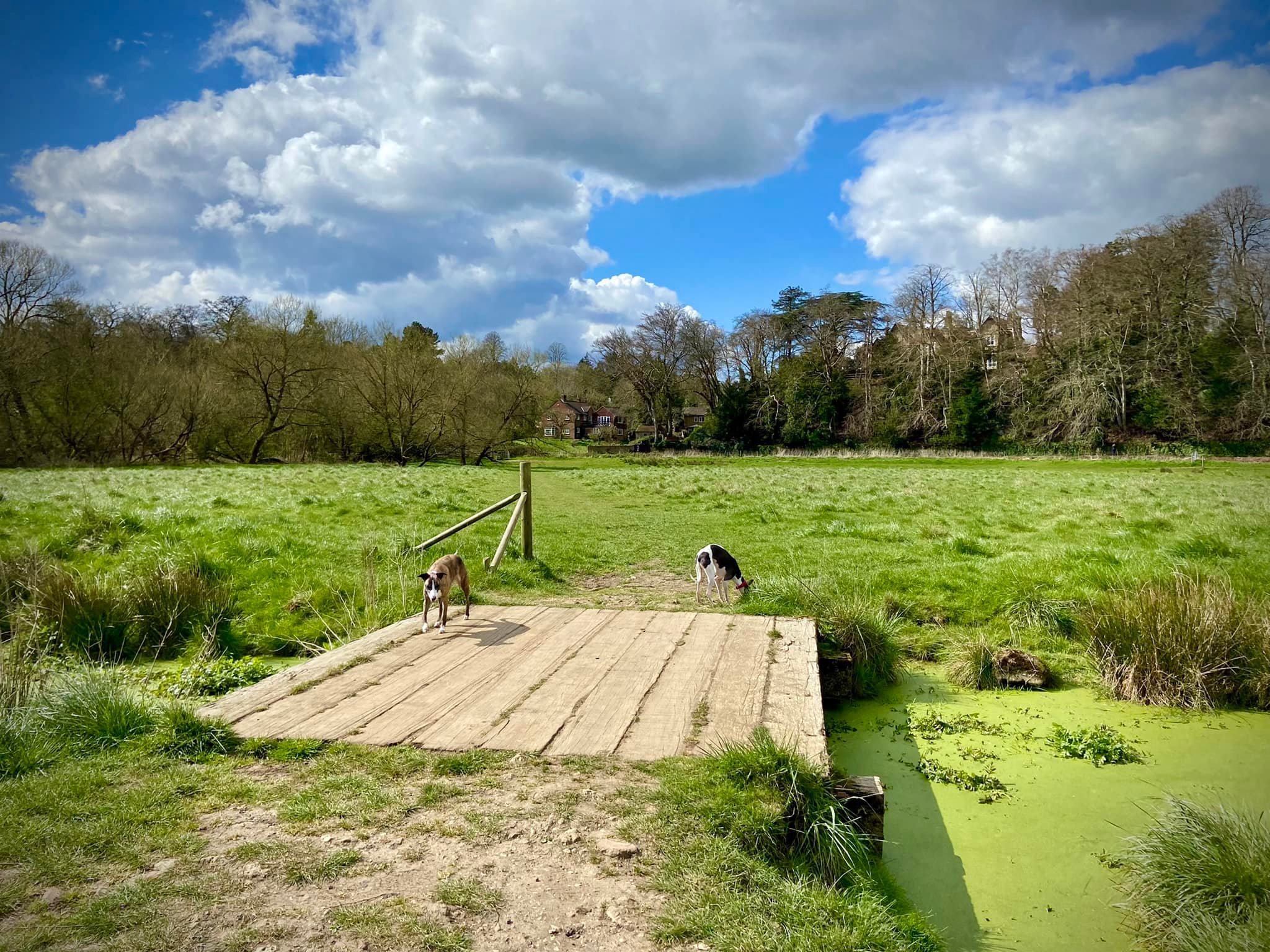
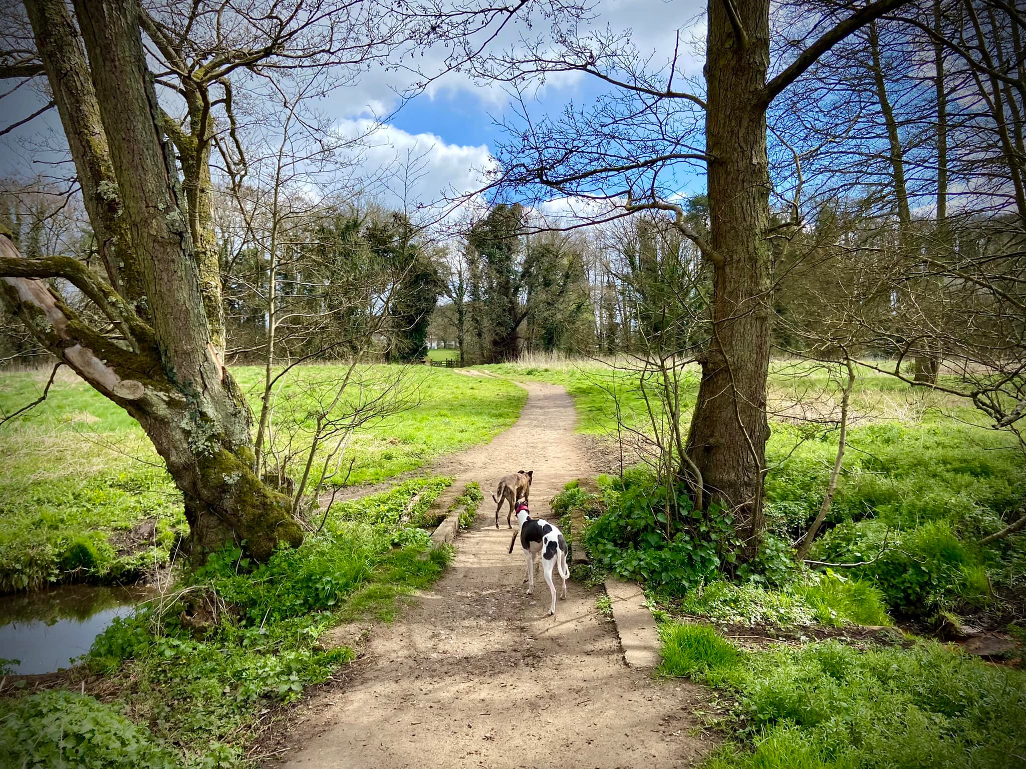
Go through the metal kissing gate in front of you. This lovely wide grassy path sweeps through the water meadows. Follow its gentle curve round to the right, ignoring any paths off either side and crossing the plank bridge then continuing on to the metal kissing gate.
Returning along the river
Turn right immediately after the car park and walk along the back of the club boathouse and through a kissing gate to a narrow path that takes you back along the river, but on the opposite bank to the one you just walked down. Follow it to the metal kissing gate.

Go through the kissing gate. Ahead you’ll see the bridge you walked under earlier. Turn left at the first information board, which tells you about the water meadows. (If you look across the water to your right when you’re at this information board, you’ll see the little stream from earlier too).
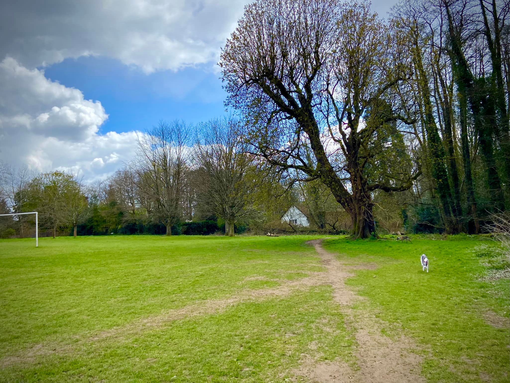
Pass through the water meadow and over the plank bridge, then keep straight on and through the double gate, passing another information board. Emerge from the trees and turn right to walk along the edge of the football pitches, which are on your left. As you pass the last goal and a large tree, the path bends off to the right and joins a tarmac path.
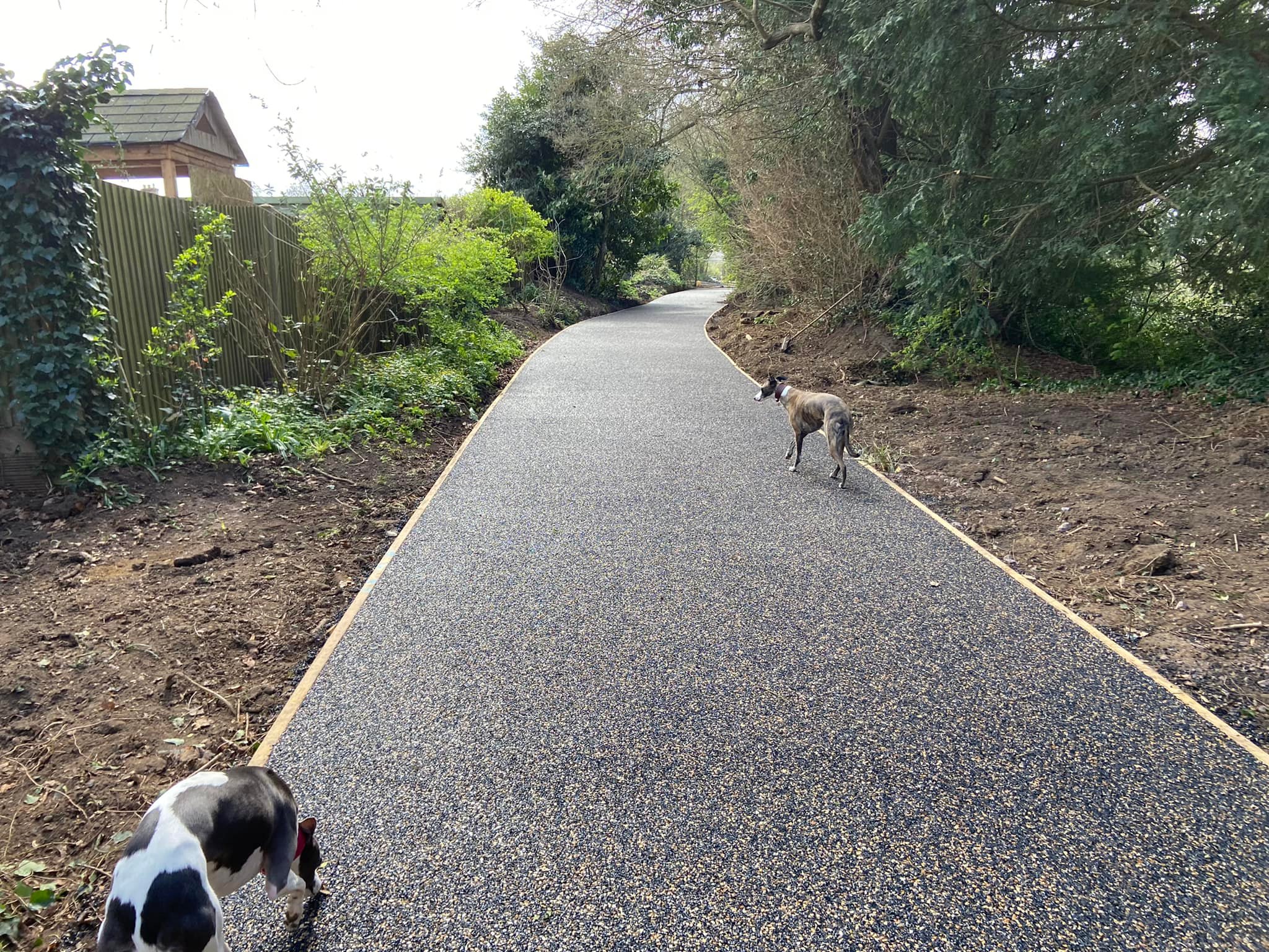
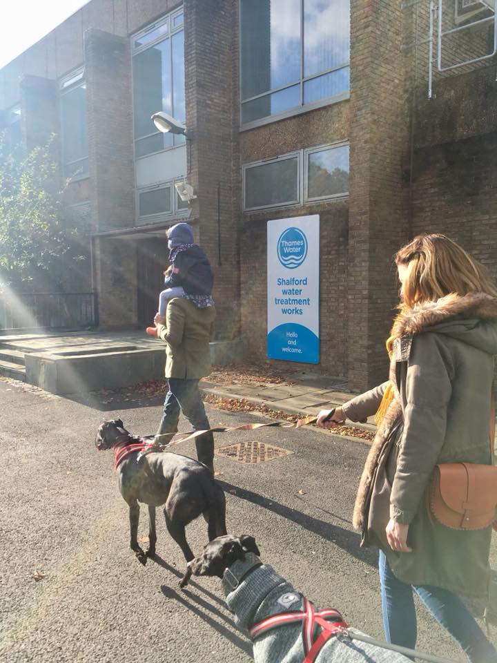
Turn right onto the tarmac. Cross the bridge and if your dog is off lead, put them back on for the next bit. Follow the chain link fence, which marks the property of Shalford Water Treatment Works. At the end of the path, walk past the waterworks building to where the public footpath picks up again on the other side. Ignore the metal kissing gate to the right.
Go up the slope, then up the steps and ignore the next metal kissing gate to the right as well. Where your path joins the main path, turn right and walk along this until you get back to the alleyway leading back to Dagden Road.
(Note, along this final stretch of path, there is a small cut through to The Seahorse pub should you want to detour there for a rest stop before returning to your car. The cut through comes out in the pub’s rear car park).

Leave a comment