Page contents
About
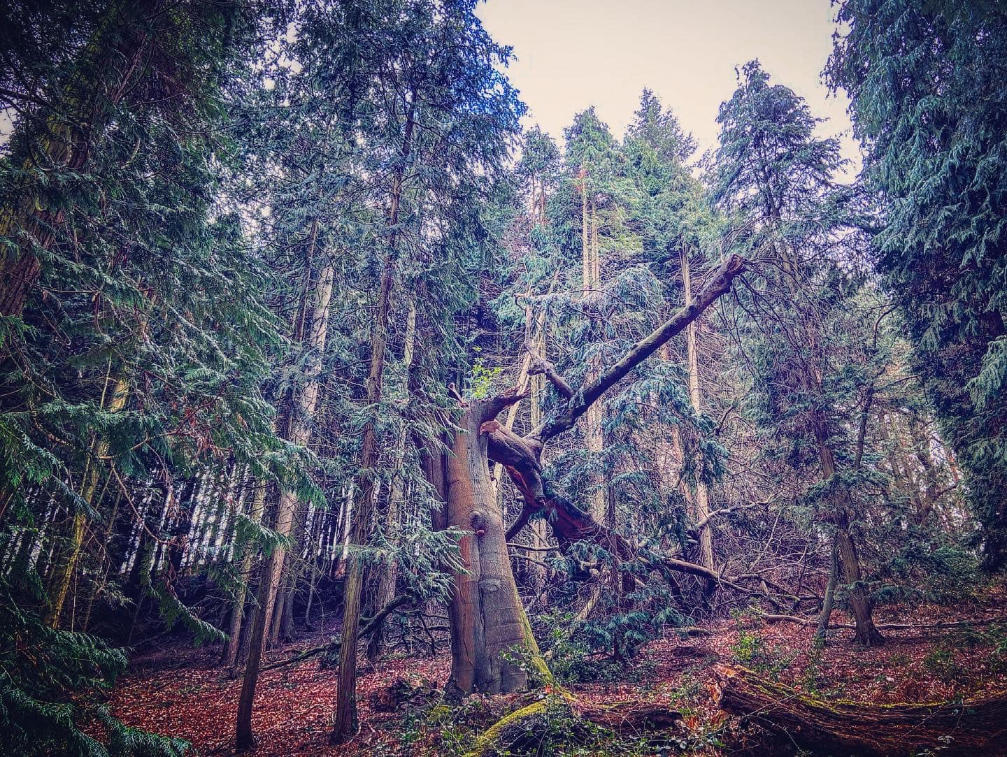
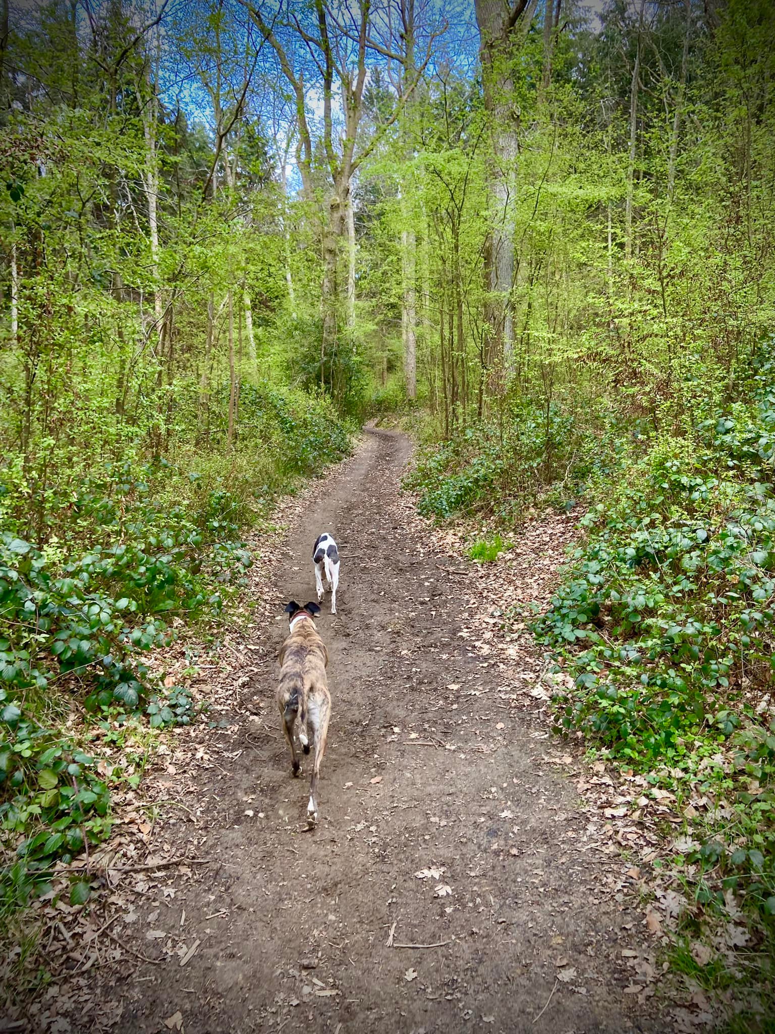
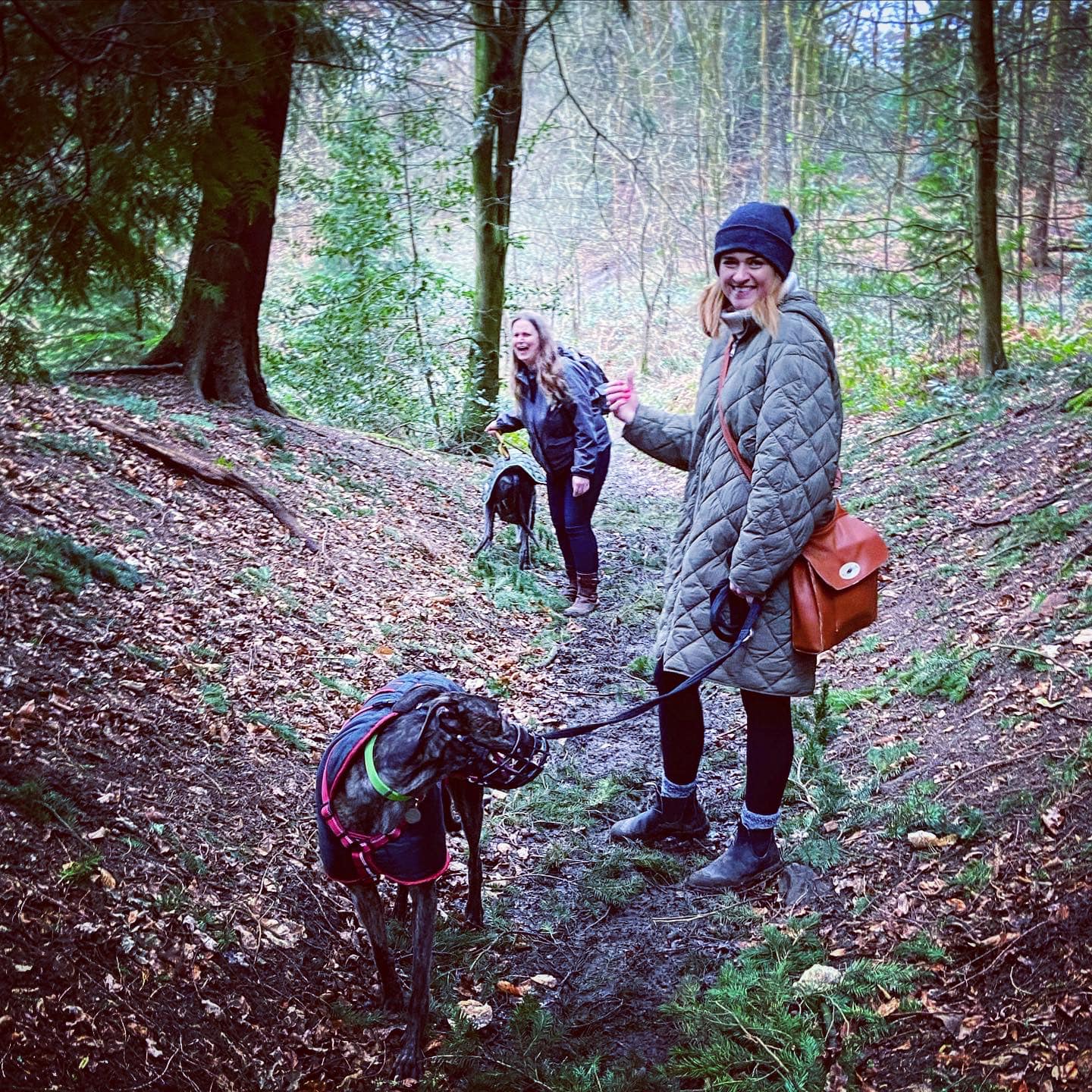
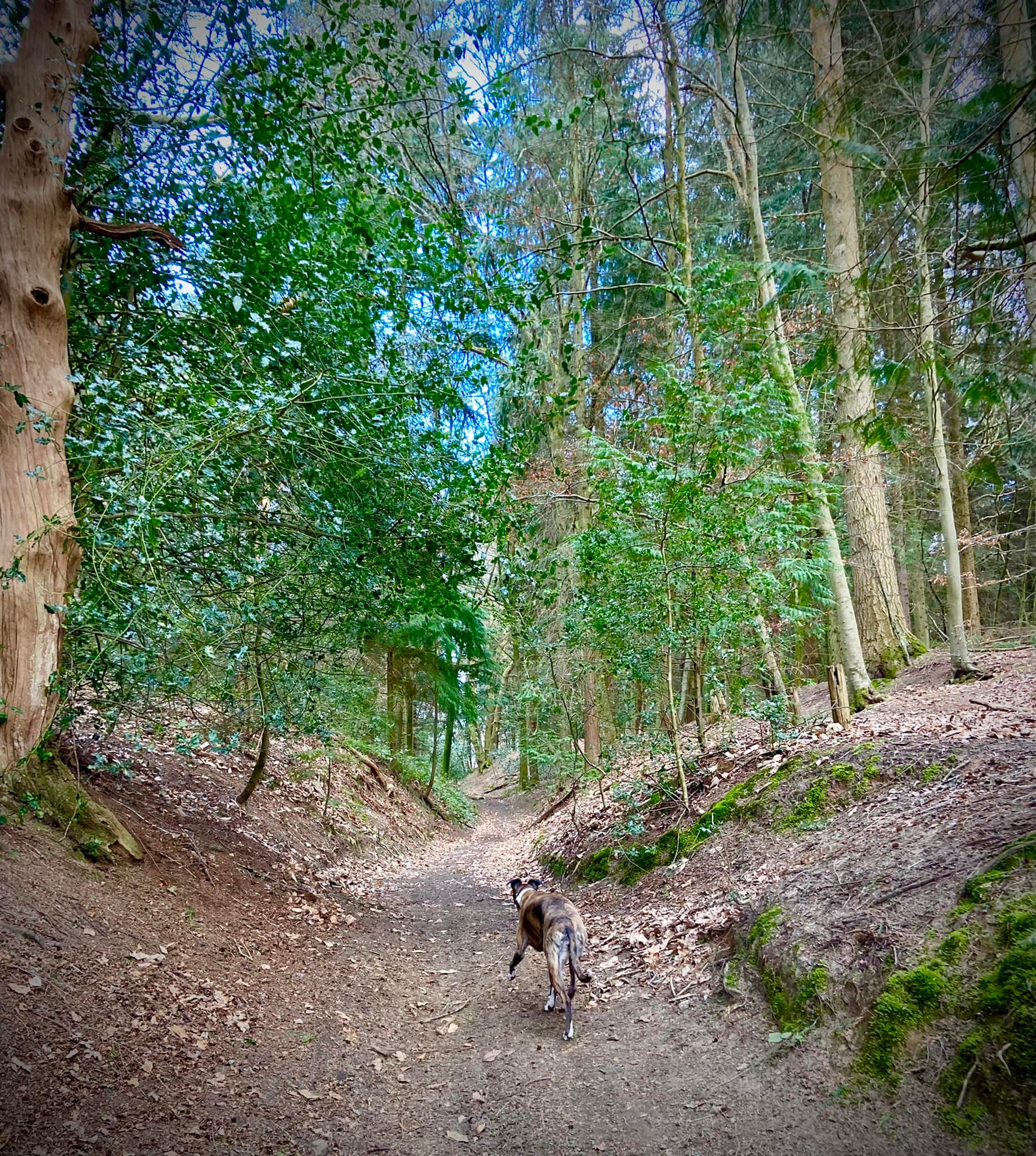
Gallery
Parking
Poo bins?
Self-guided walks
About
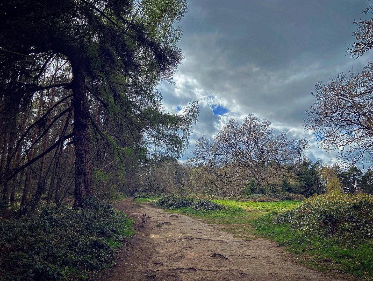
Chantry Wood, just to the east of Guildford town centre, sits on the same greensand ridge that forms part of the North Downs as neighbouring St Martha’s Hill (Walks with Rena post here) and comprises 80 hectares of woodland and grassland.
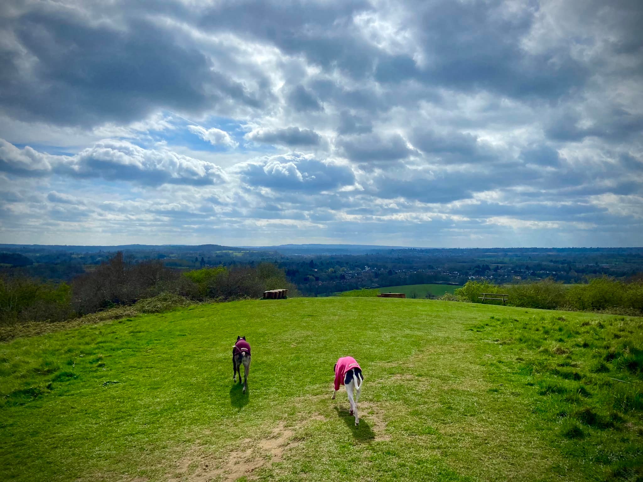
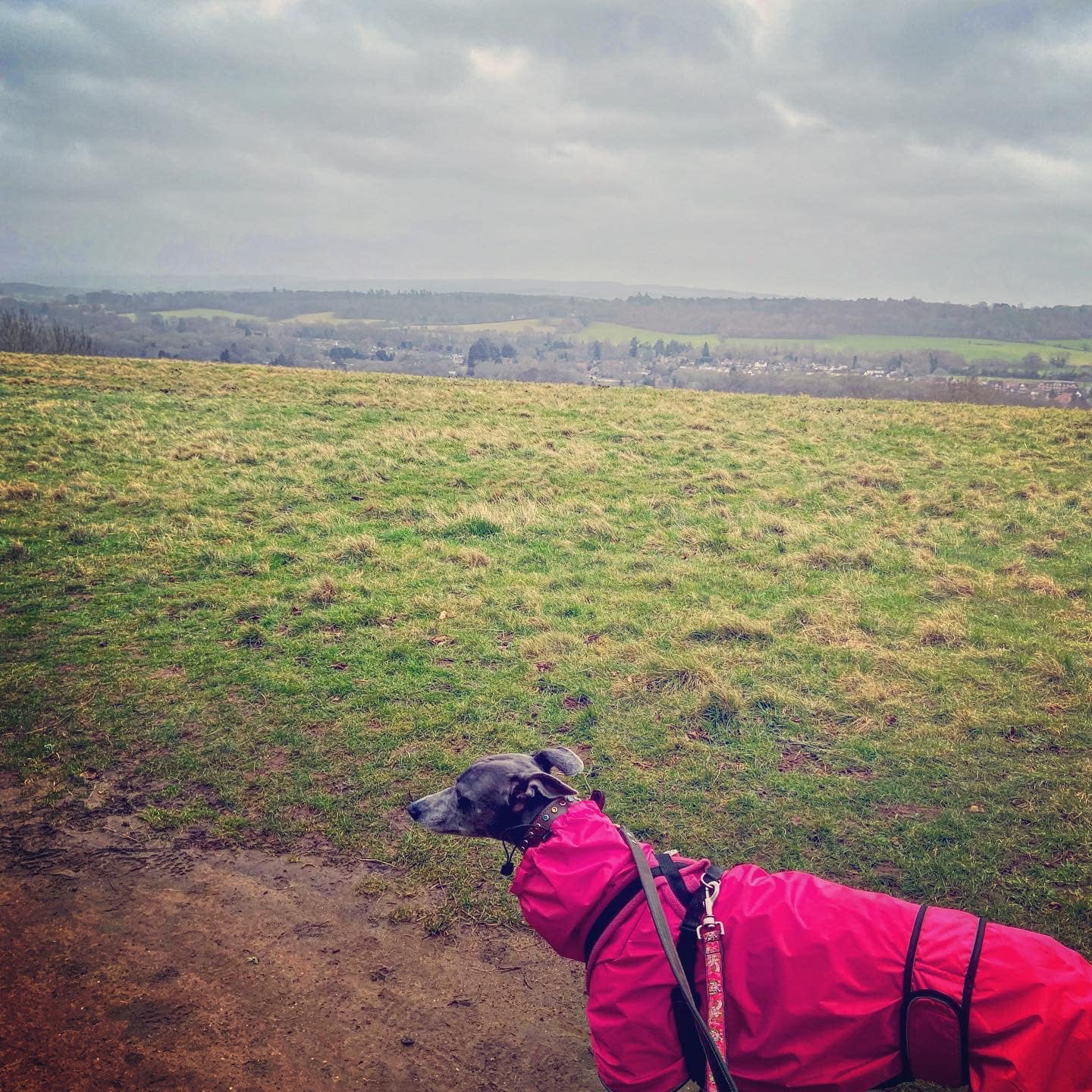
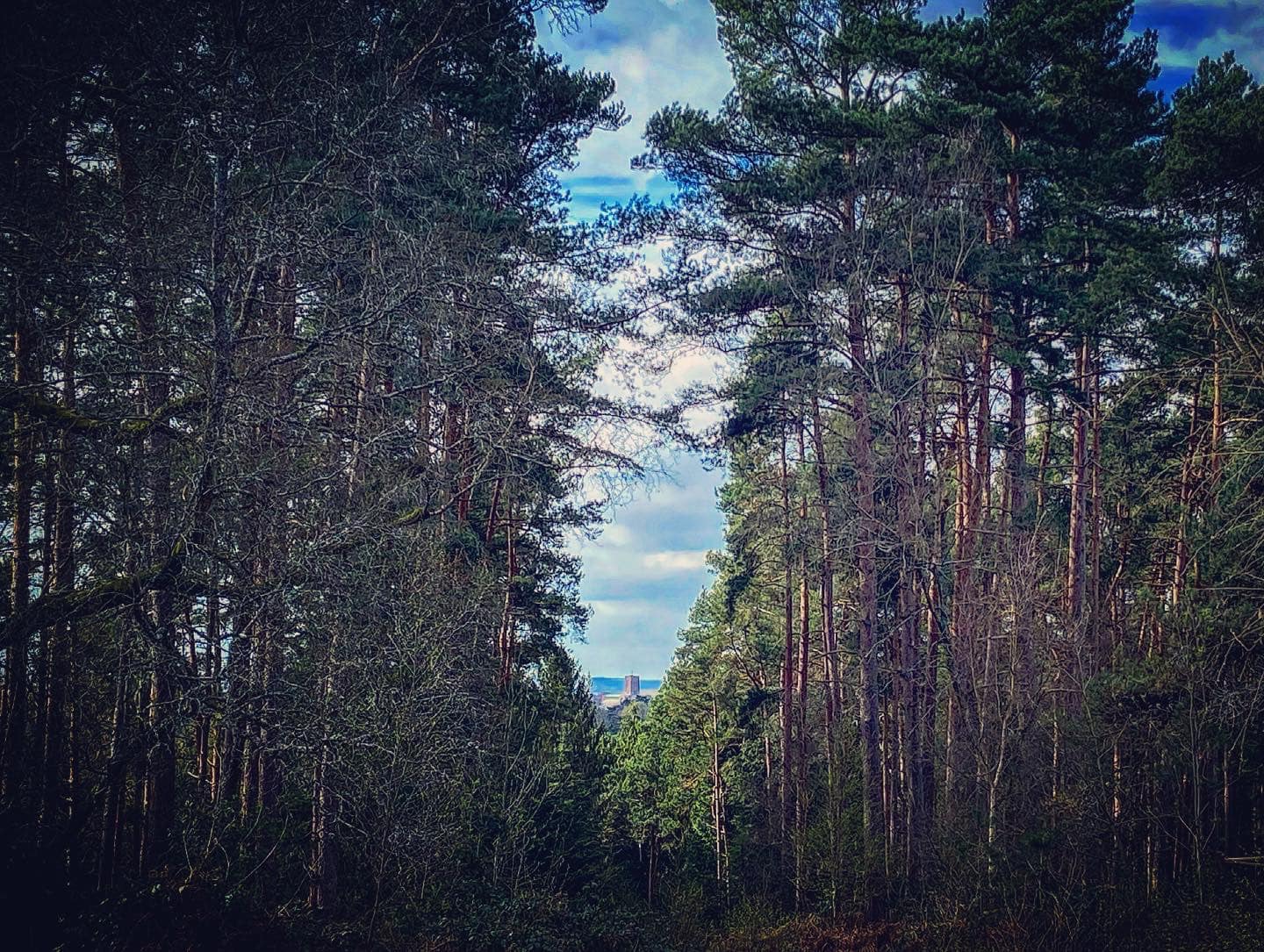
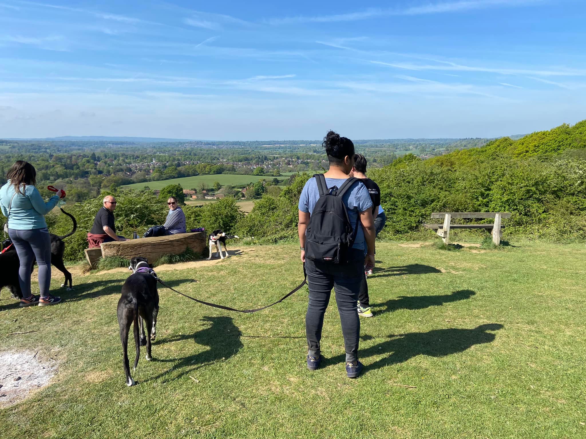
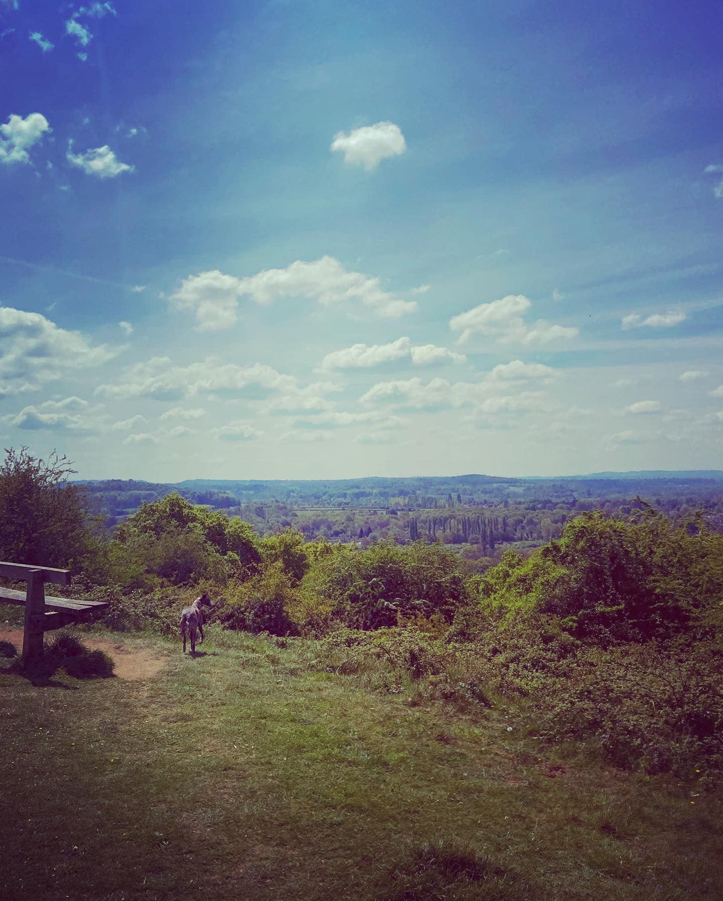
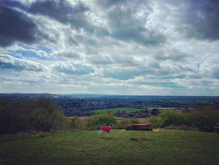
The hill’s south facing viewpoint offers a lovely view of the surrounding Surrey countryside, including St Martha’s Hill, Chilworth (gunpowder mills post here) and Chinthurst Hill. Further into the wood, and looking the other direction, there is a striking view of Guildford Cathedral, with the trees of the woods cleared such that their trunks and leaves perfectly frame its tower.
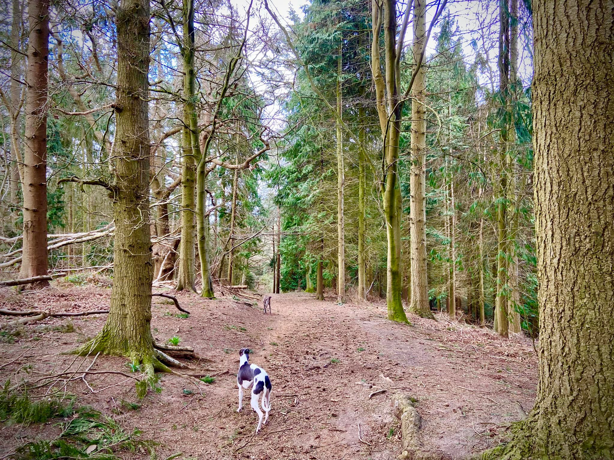
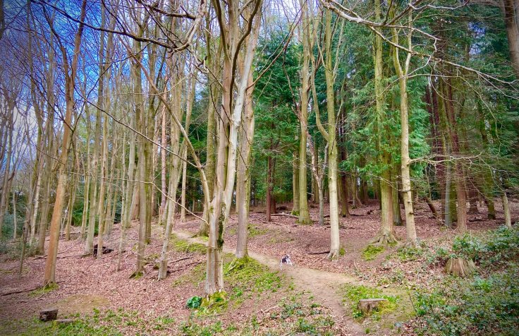
A chap called Henry Norbridge bought the woodland in 1486, when it was mostly covered with sweet chestnut trees, oaks and hazel coppice. He gave it to the church, and this is why it is called Chantry Wood – the word ‘chantry’ means ‘gift to the church’. Today, this is very much a mixed woodland as many of the ancient trees were chopped down during WWII. When the area was replanted in the 1950s and 1960s, it was mainly with pine, conifer and beech. The area is now managed by Guildford Borough Council
The main track along the northern-most border of Chantry Wood from Chantry Cottage to Halfpenny Lane is both the long distance North Downs Way and the Pilgrims’ Way, the historical route supposedly taken by pilgrims from Winchester to Becket’s shrine at Canterbury.
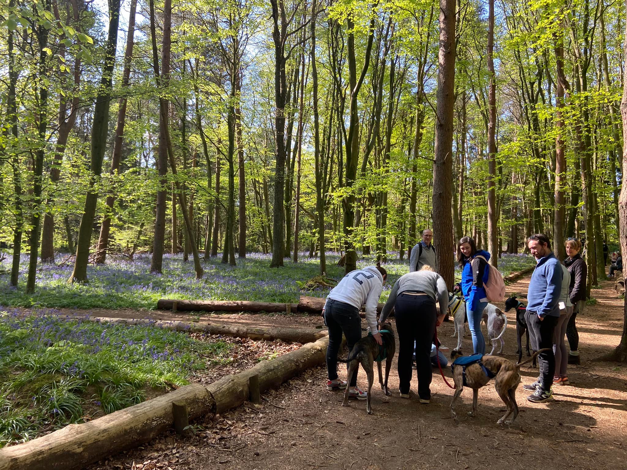
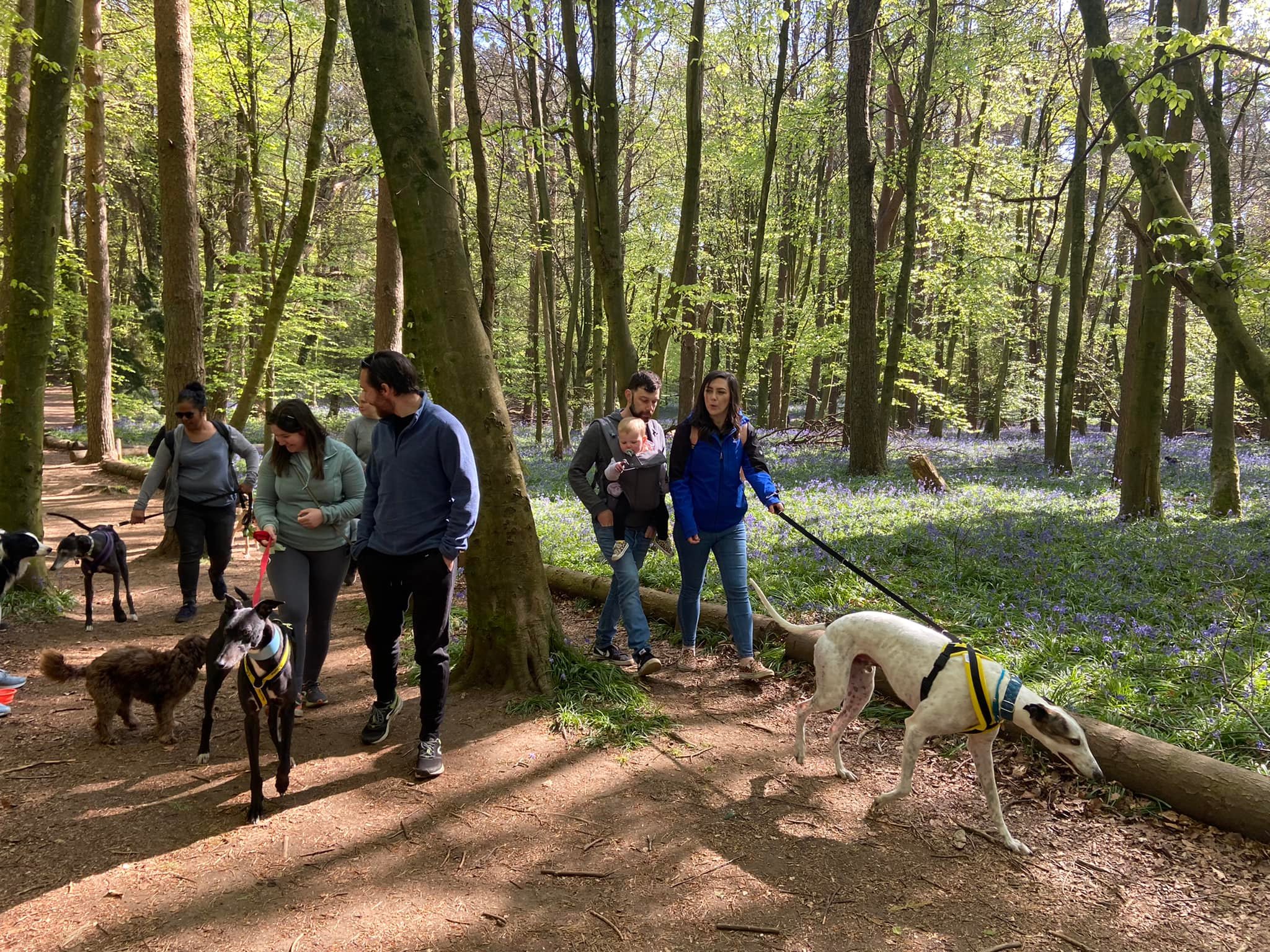
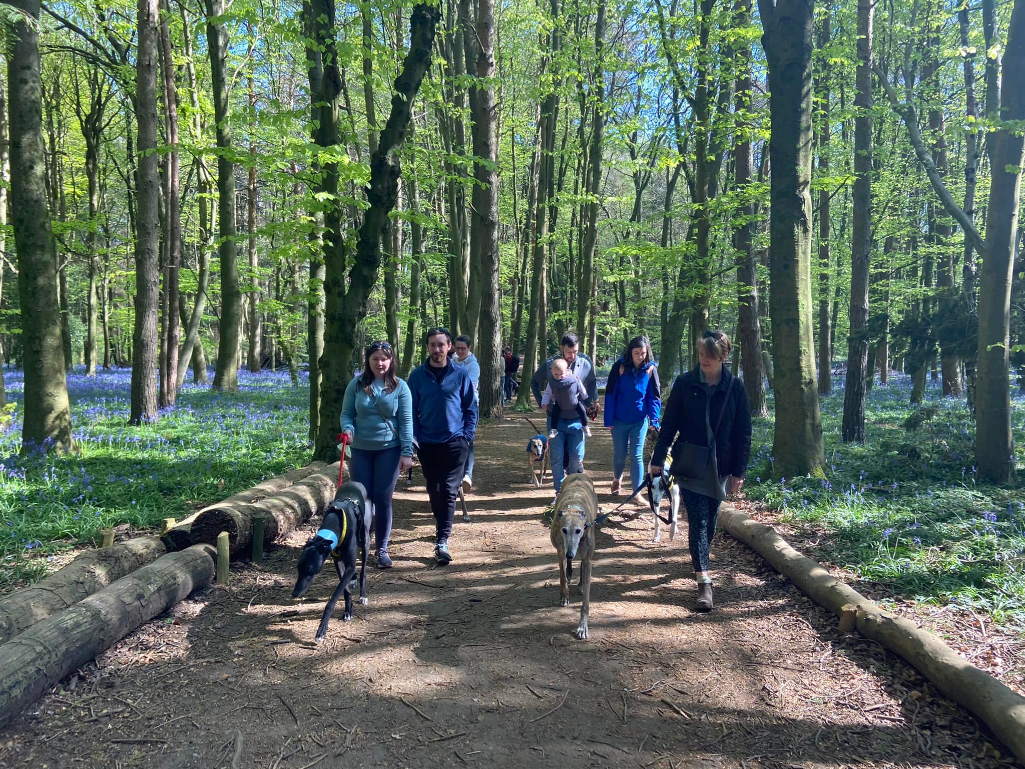
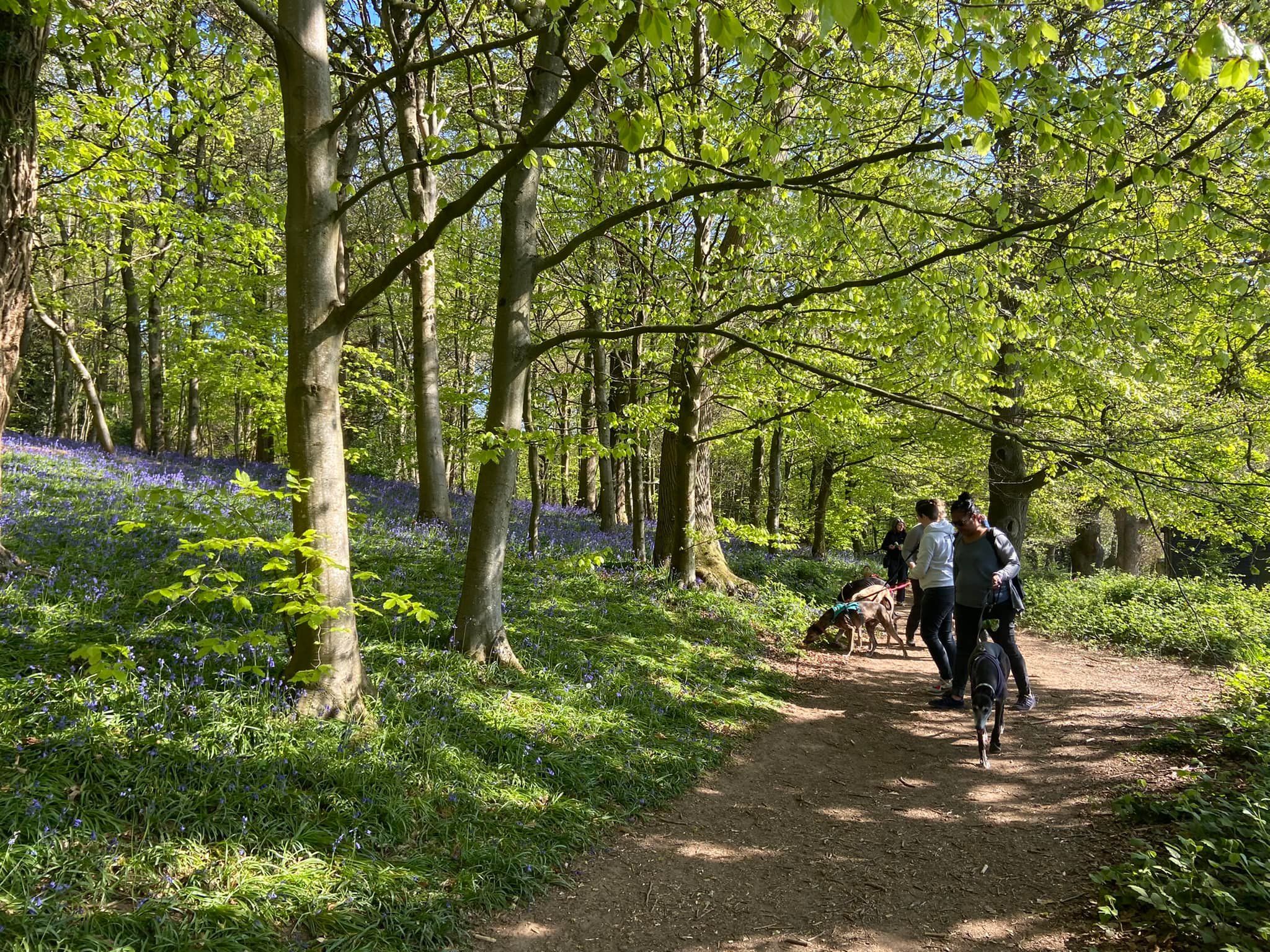
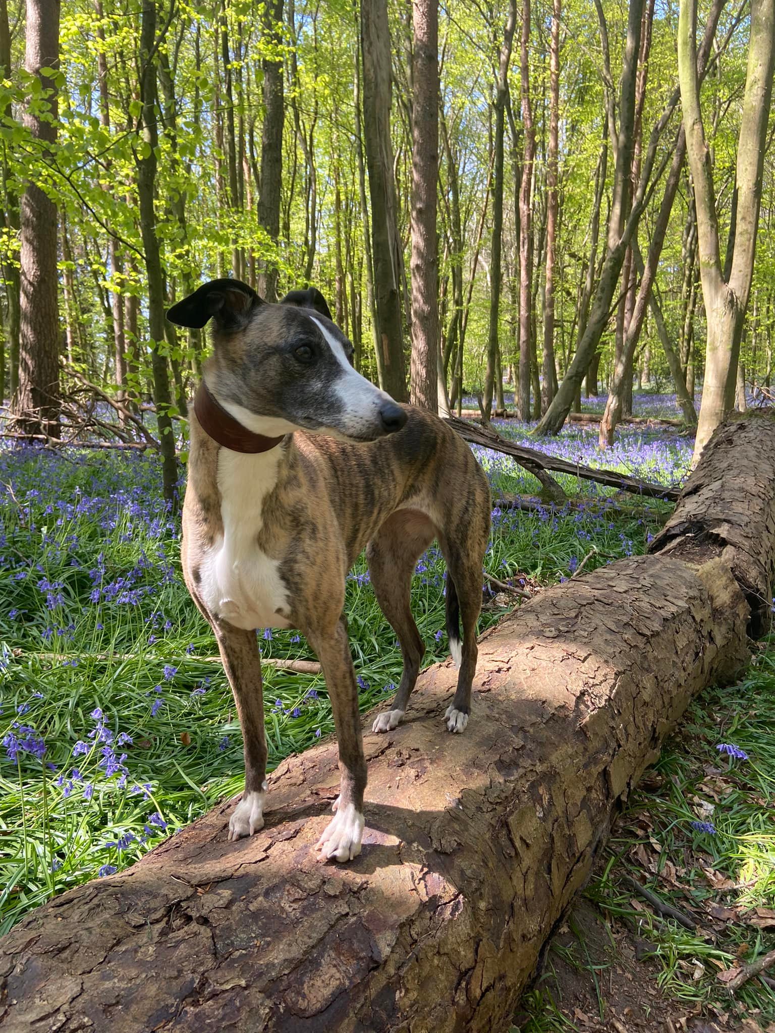
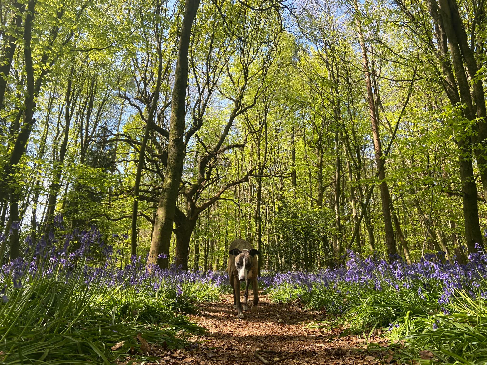
This Halfpenny Lane end of the woodland in particular is known for its impressive carpet of bluebells in the spring. Bluebells are protected by the Wildlife and Countryside Act 1981 and it is illegal to dig up bulbs in the wild. They are easily damaged so if you visit when they are in bloom, please take special care to stick to main paths and not trample them – it takes about five years for a bluebell patch to establish and once trampled, they tend to not grow back. After the bluebells die back, the summertime brings with it a spread of bright red poppies in the surrounding fields.
Chantry Wood is also, unusually, home to a public campsite. It only allows single party bookings so tends to be used by groups such as the Scouts and Guides, but details are here.
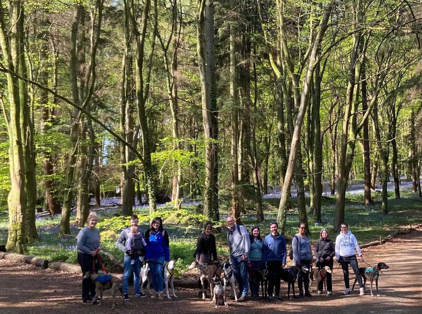
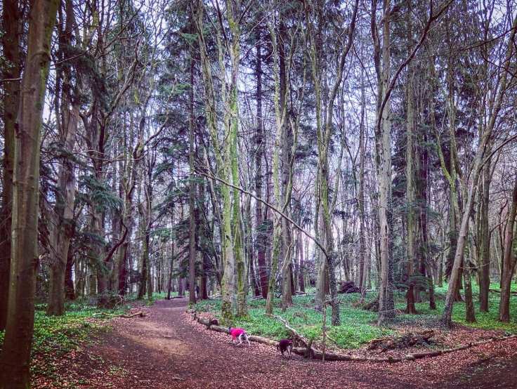
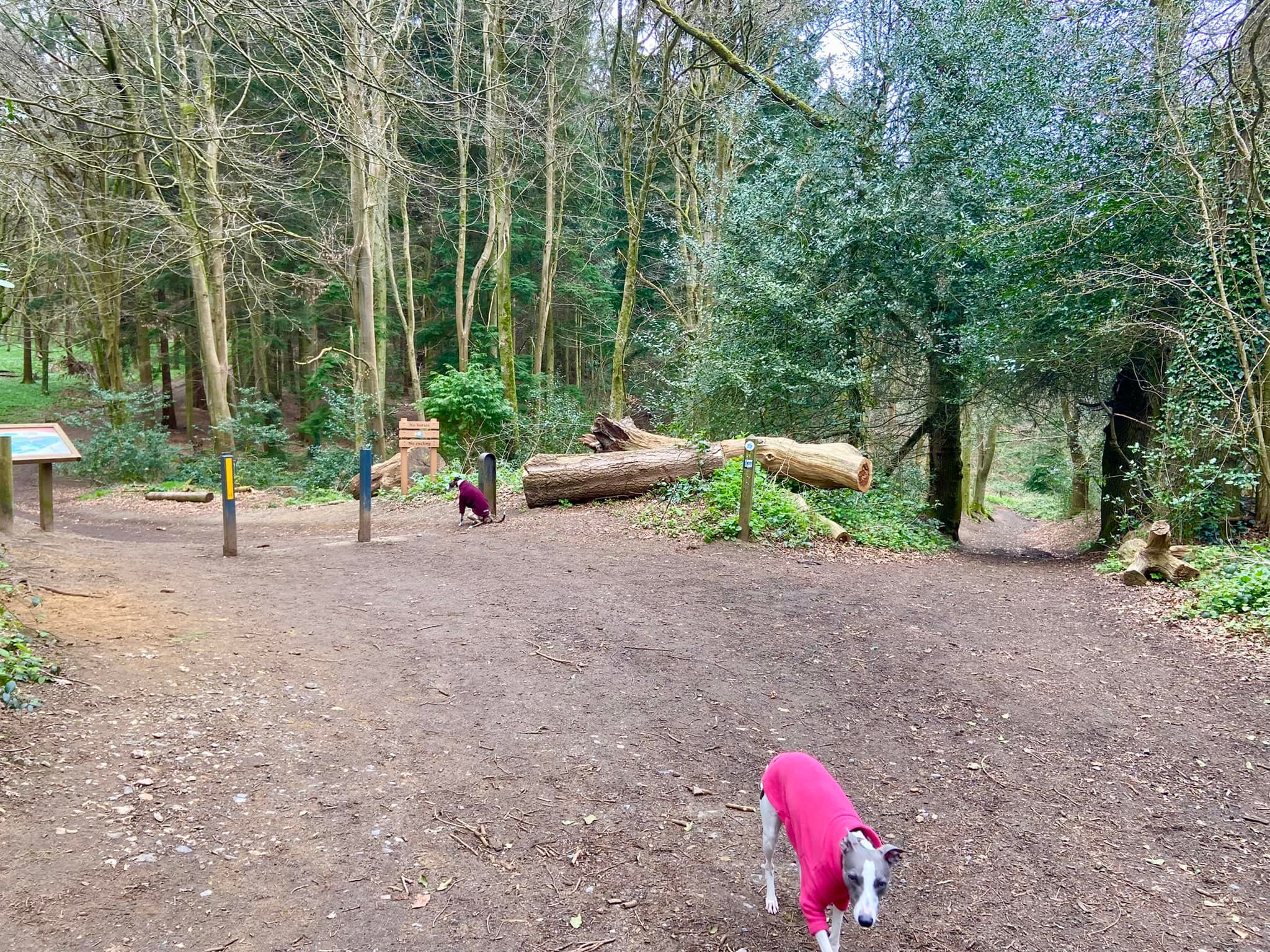
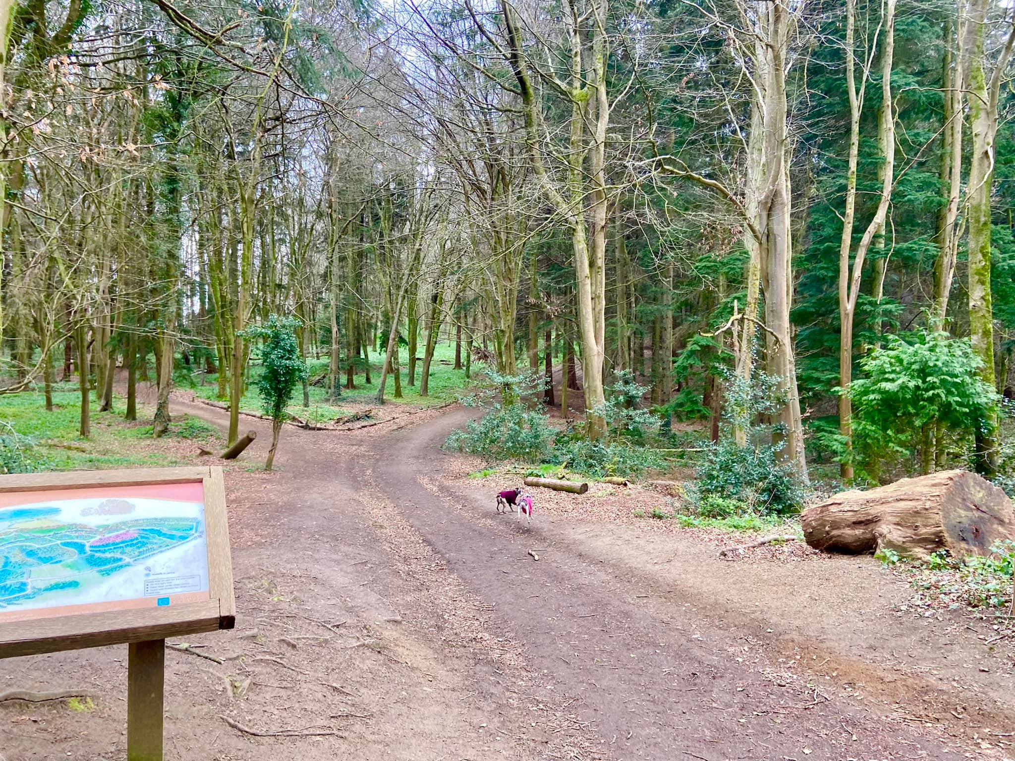
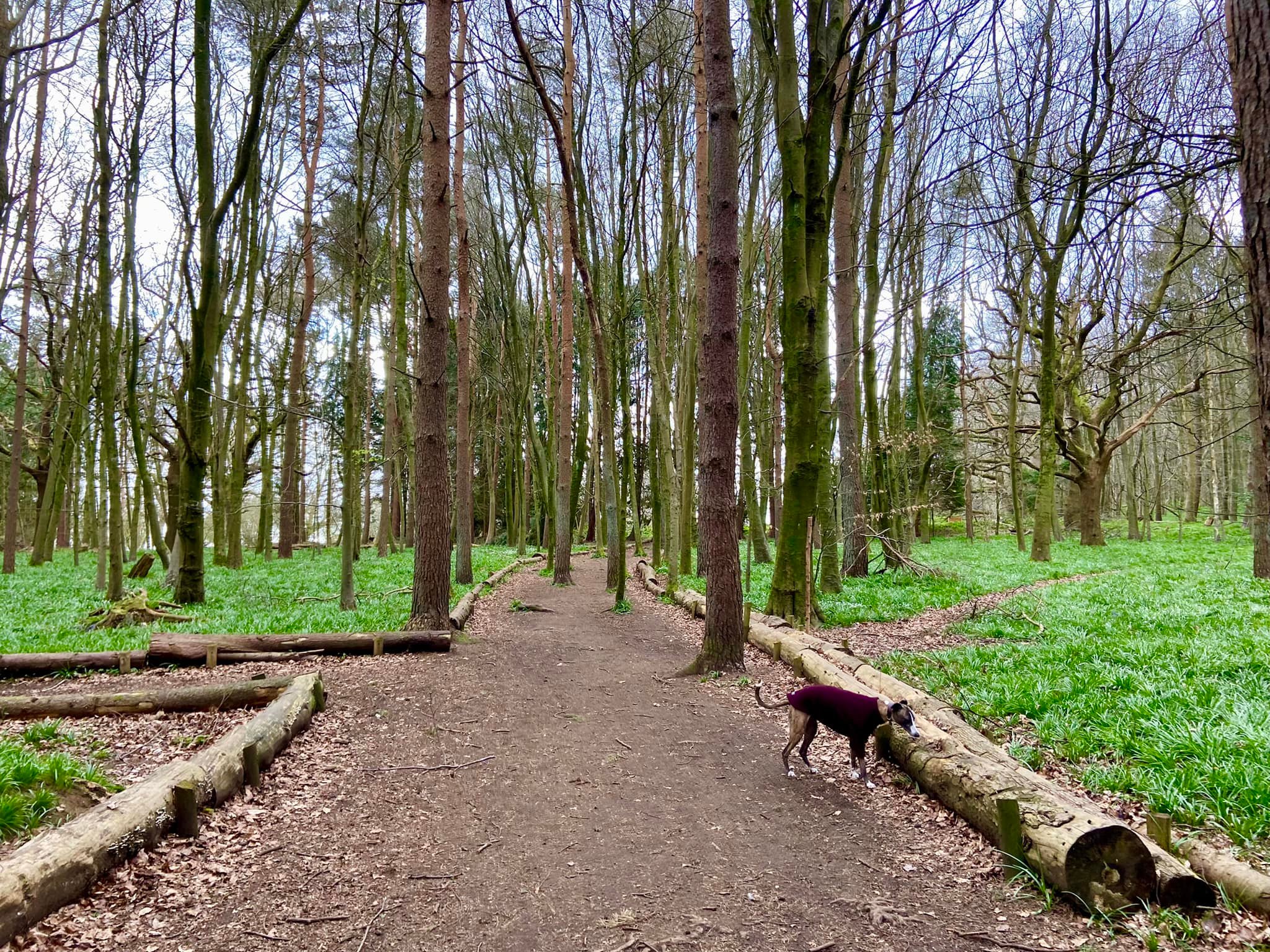
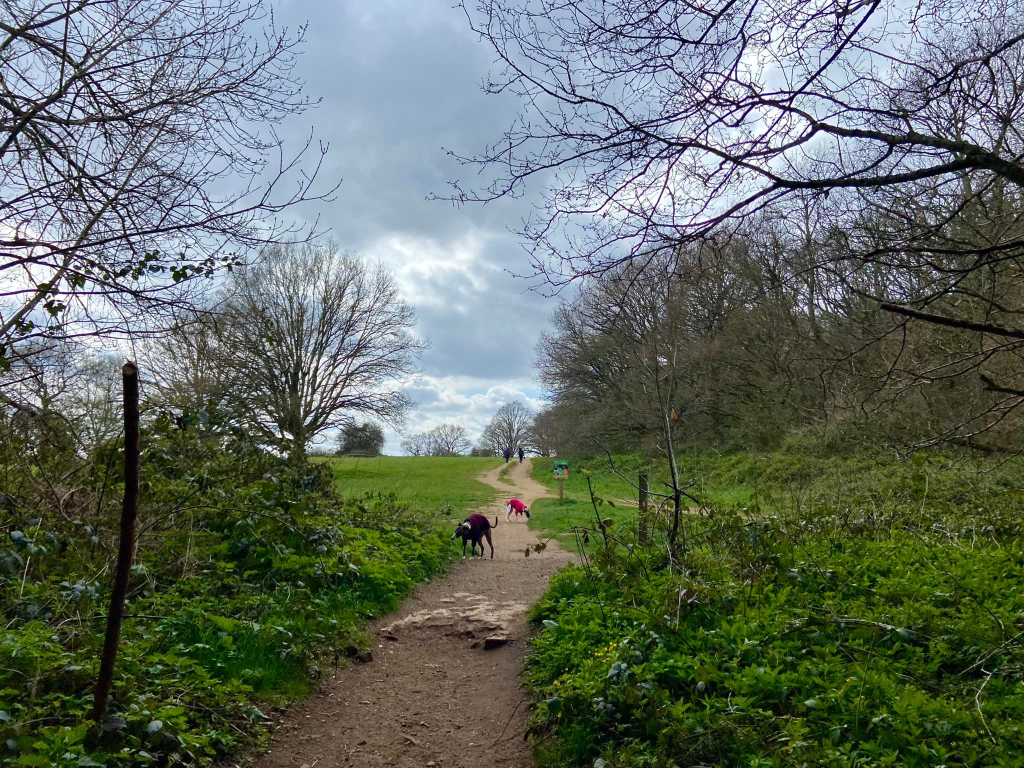
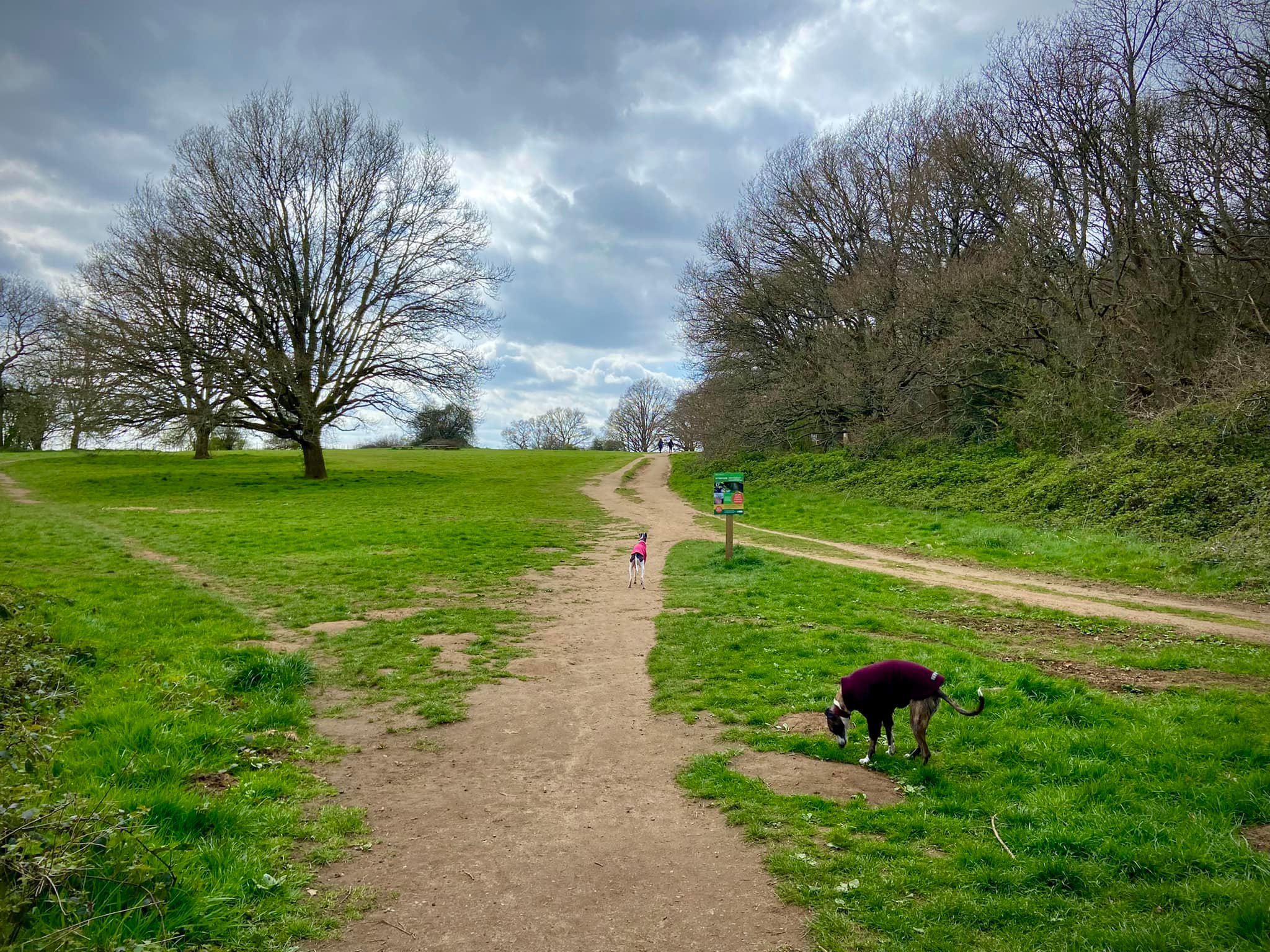
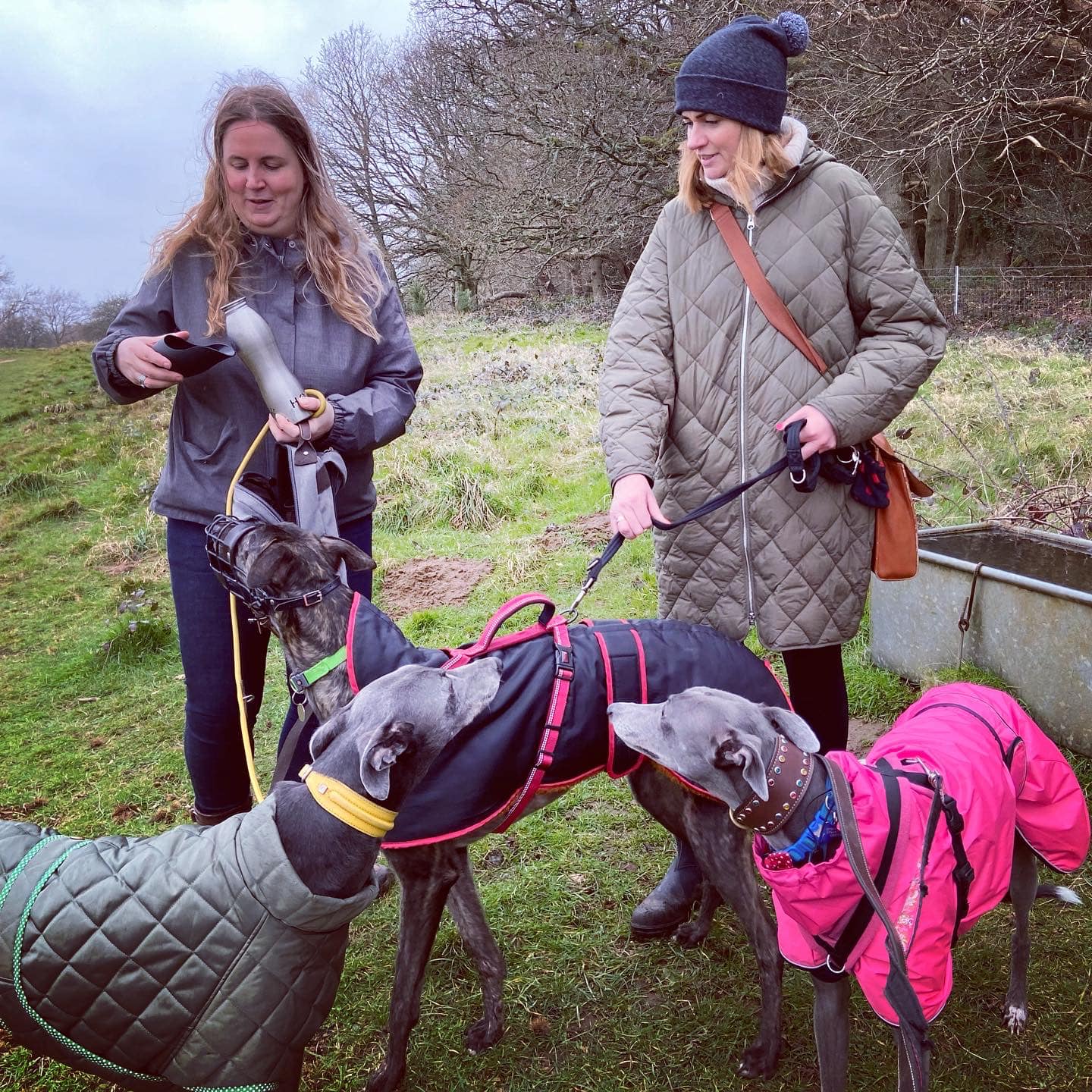
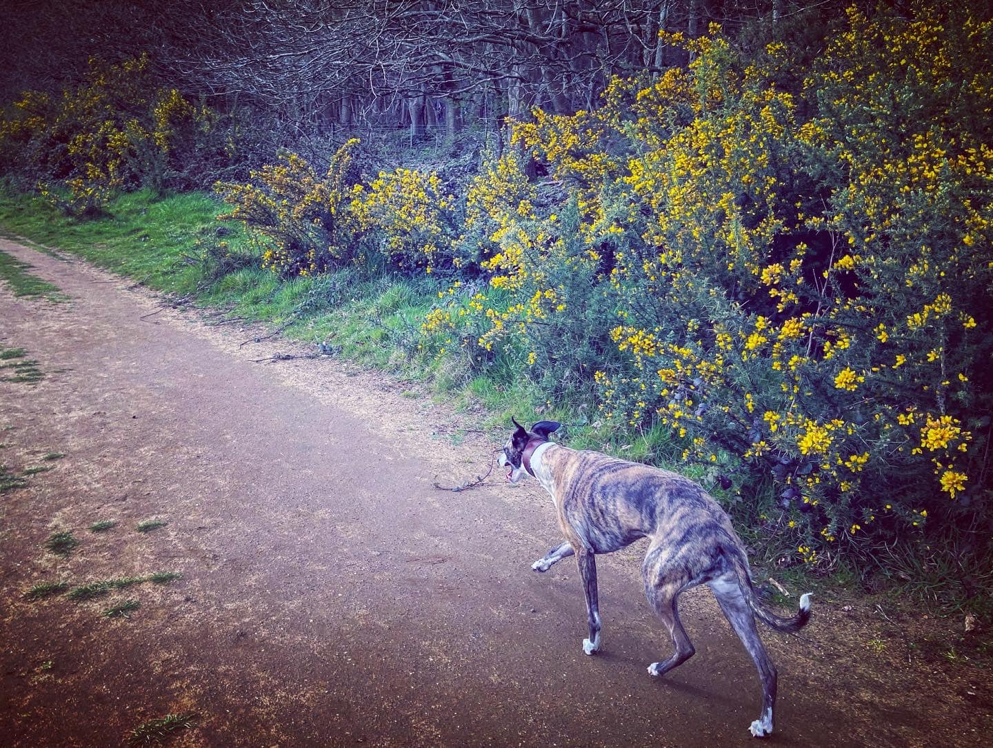
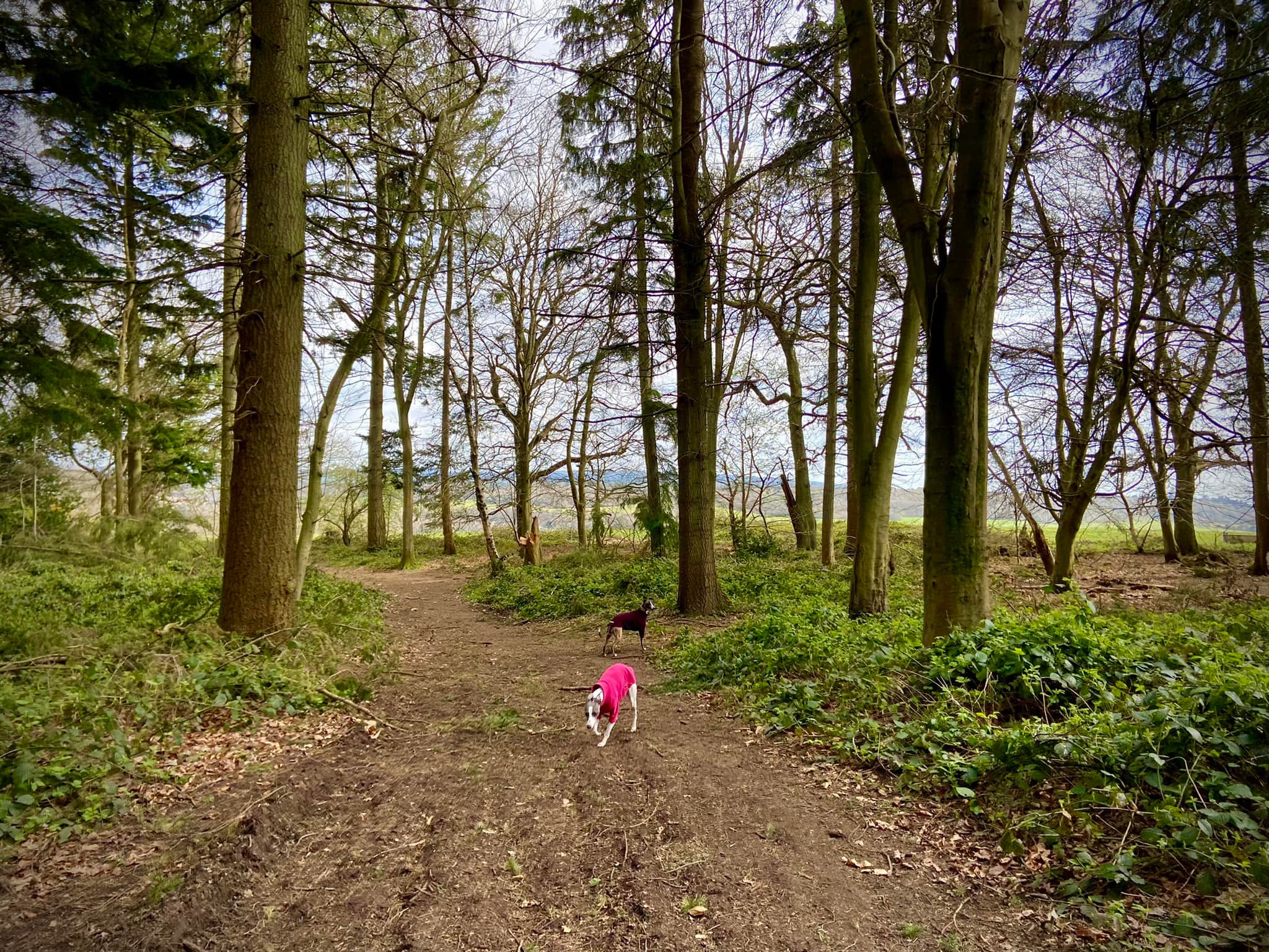
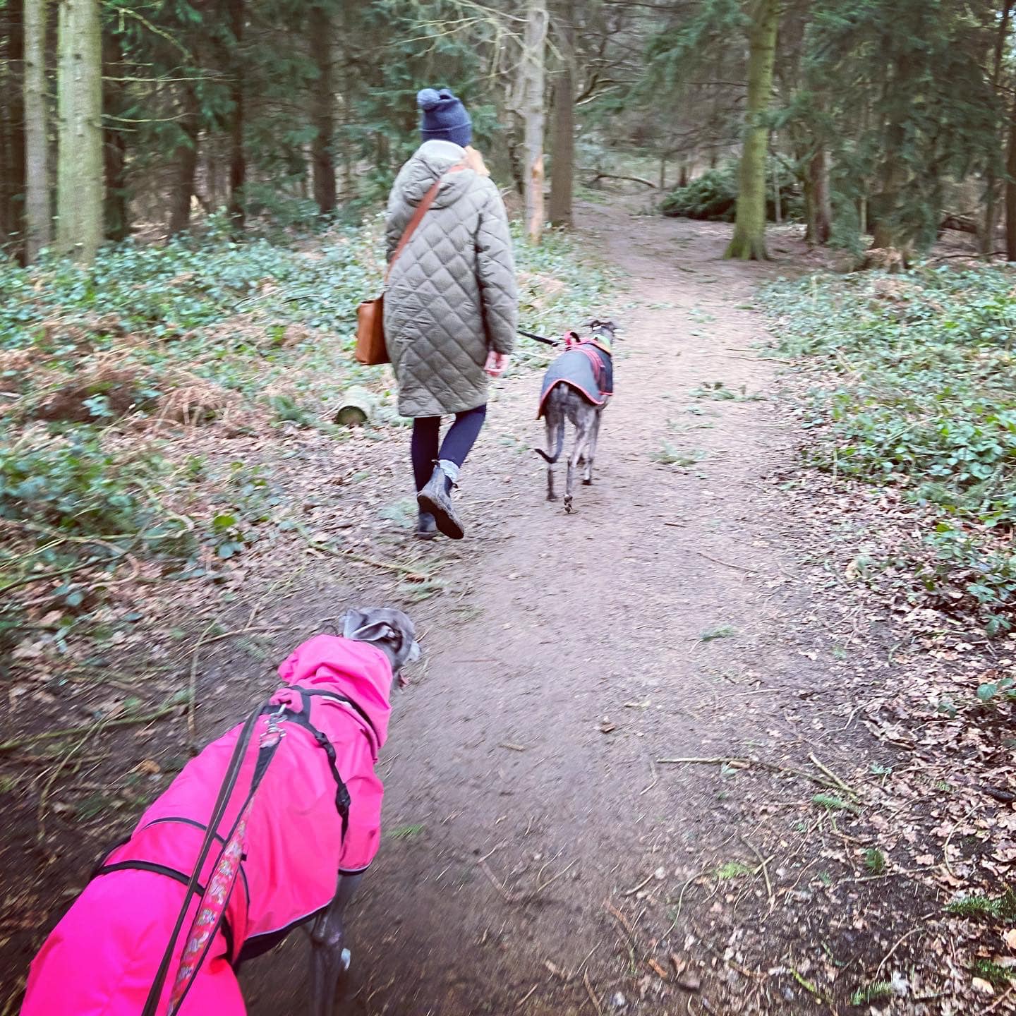
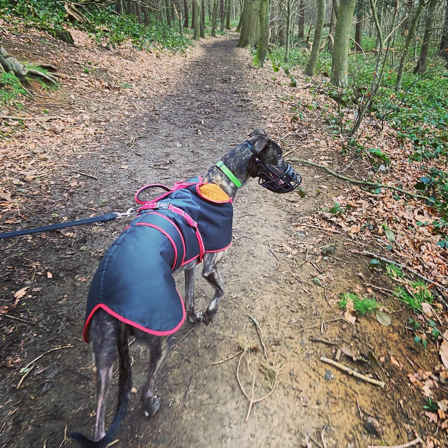
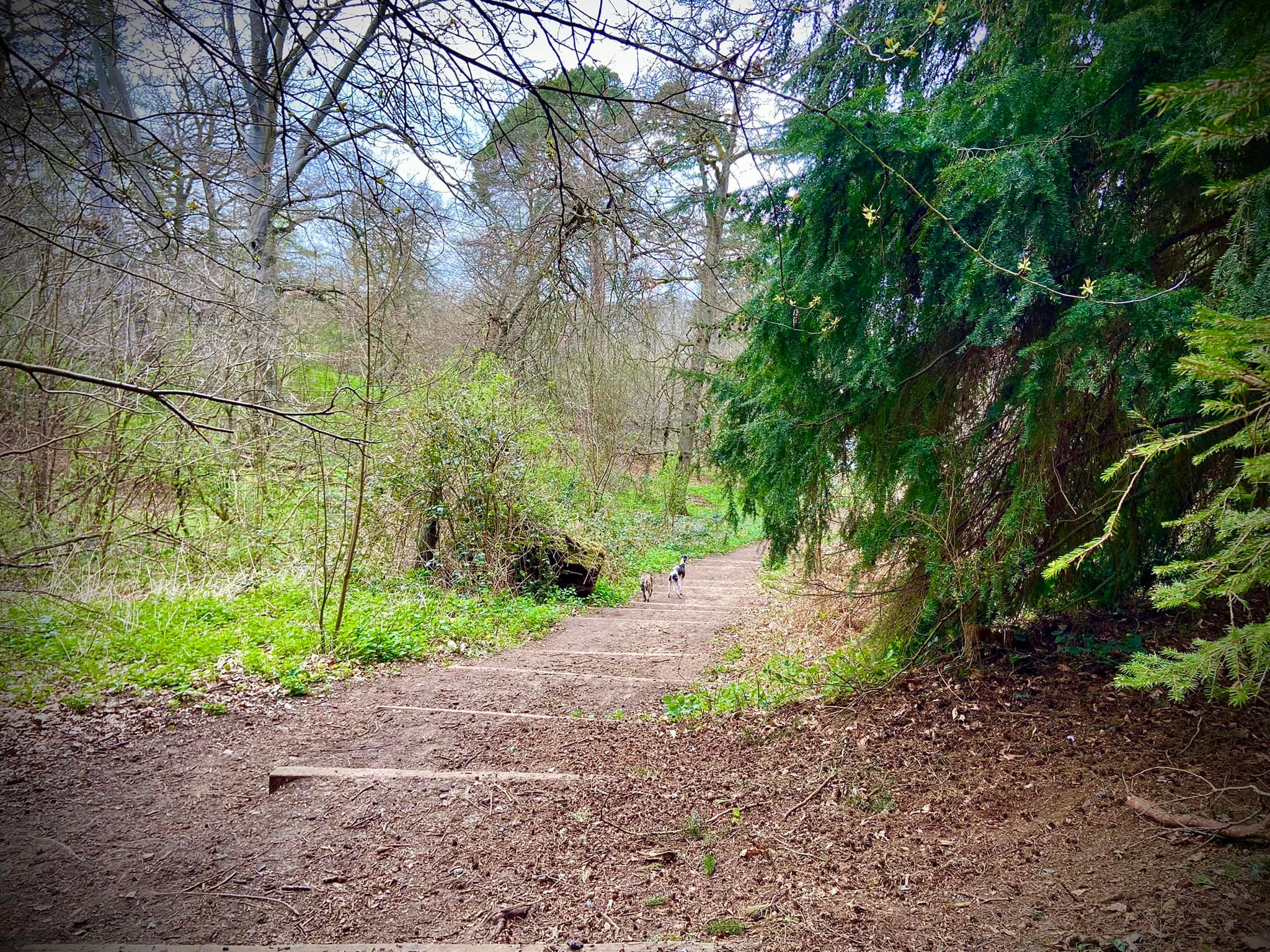
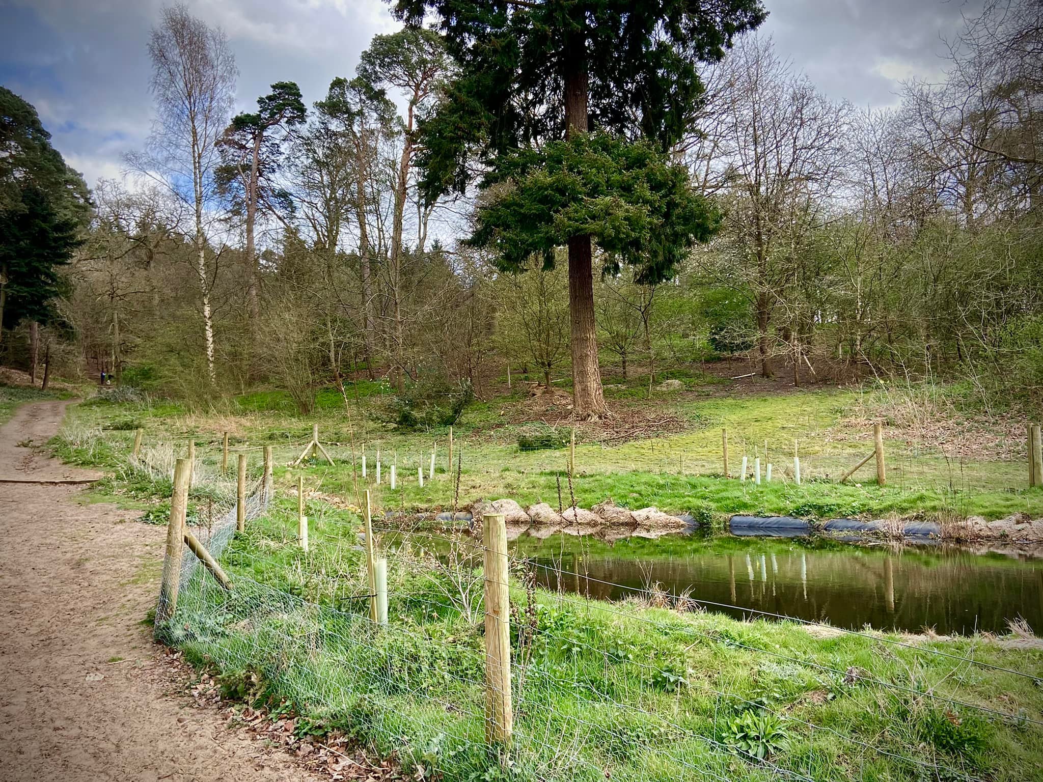
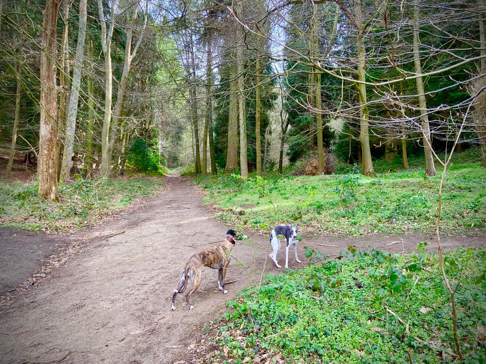
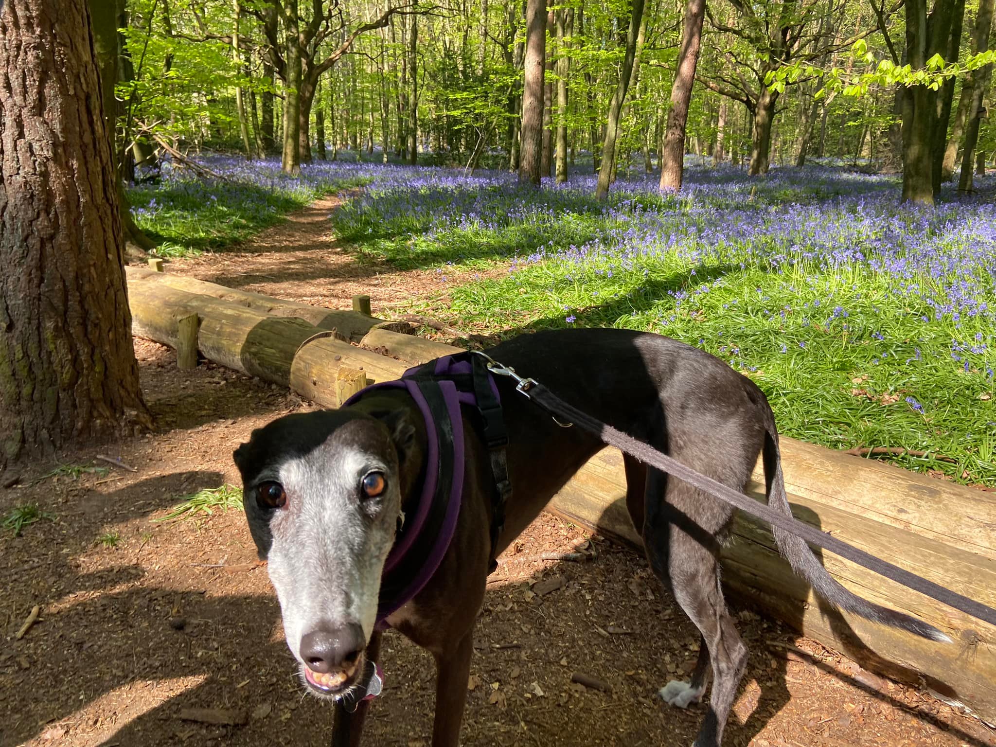
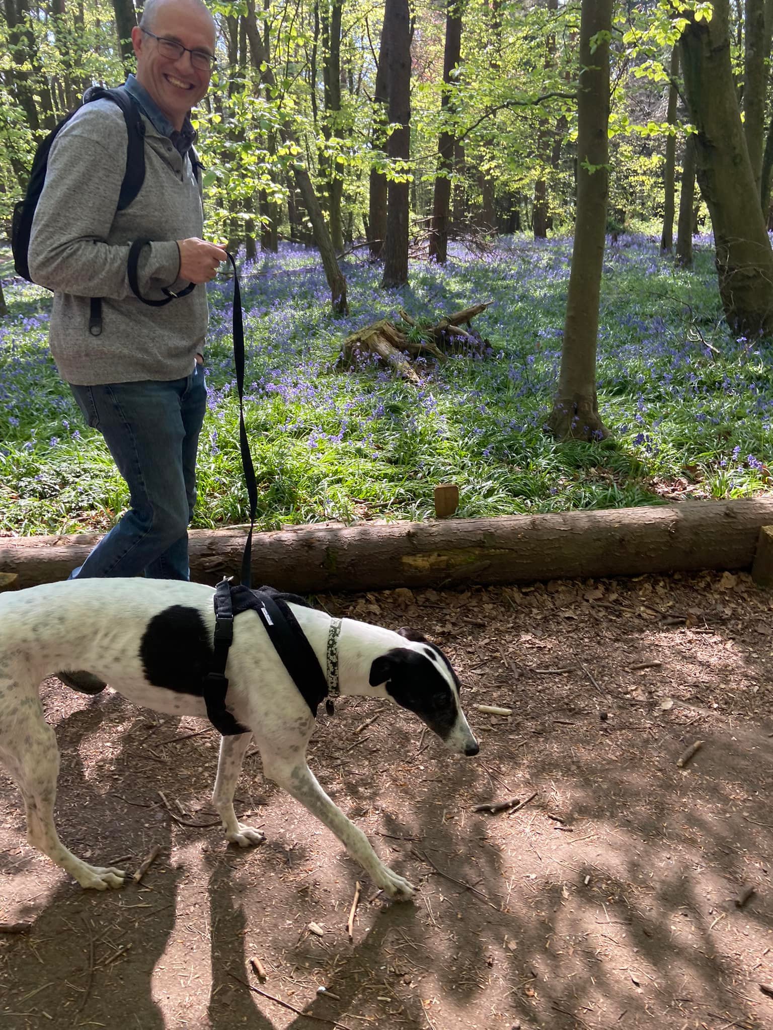
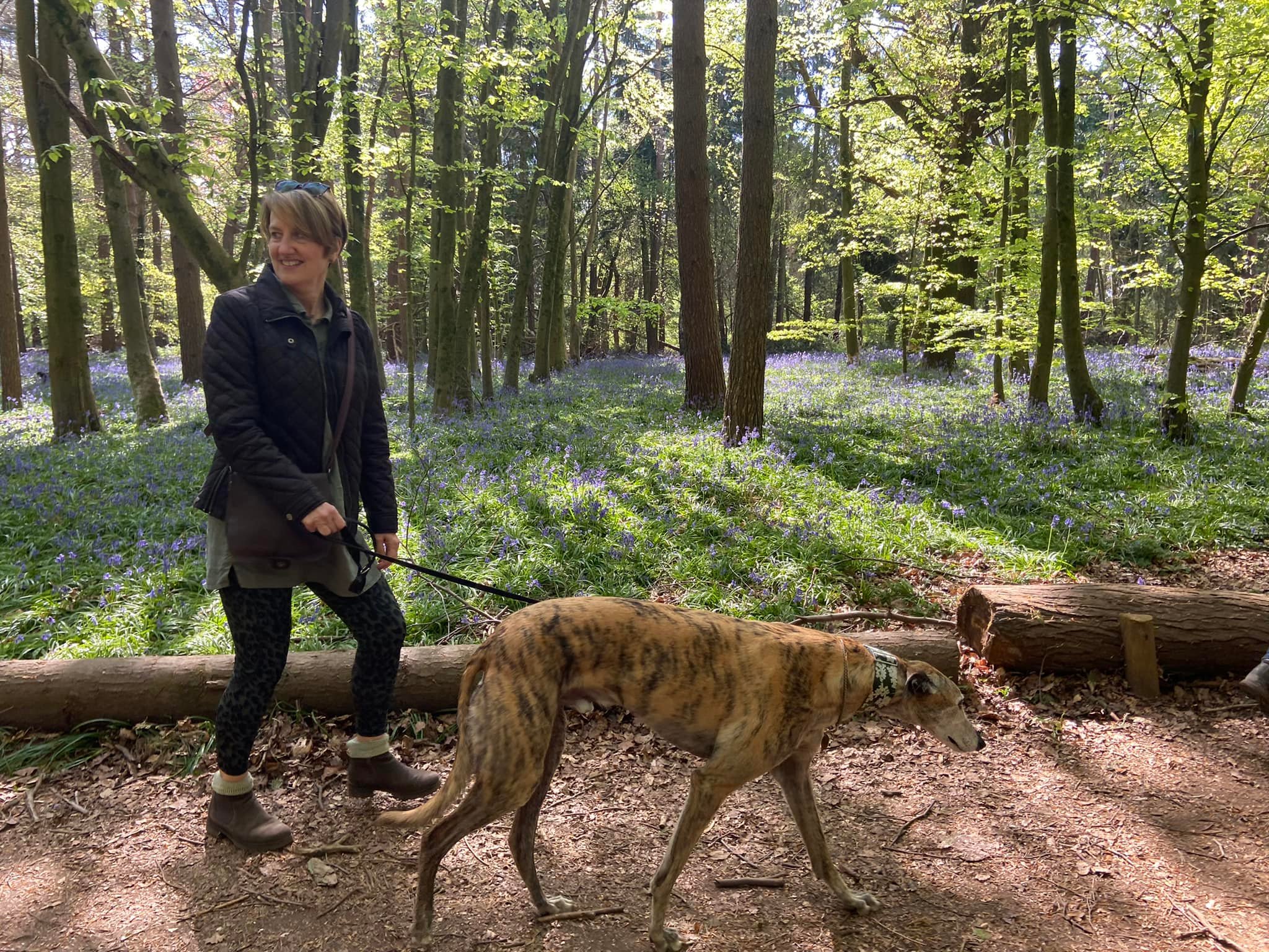
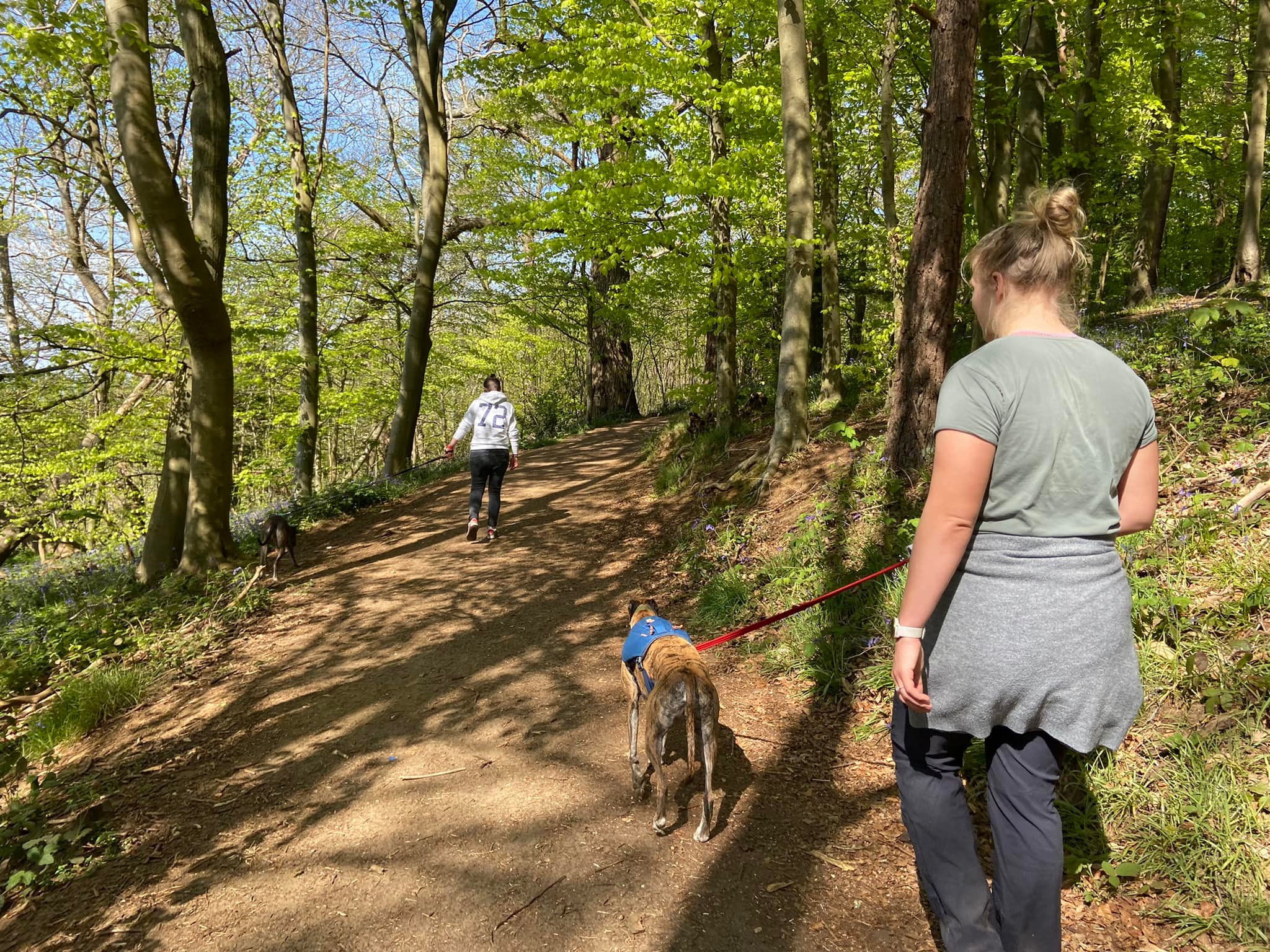
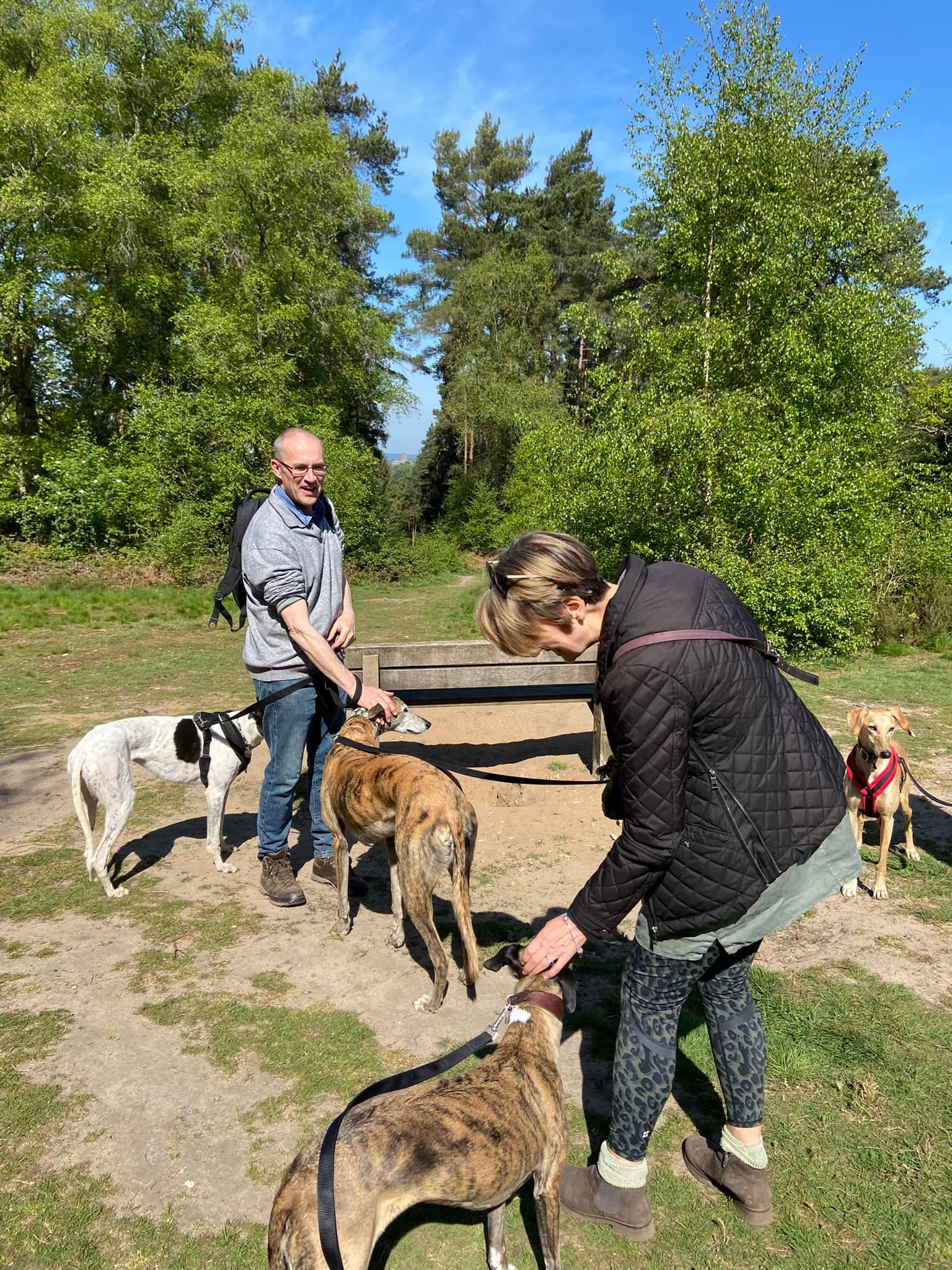
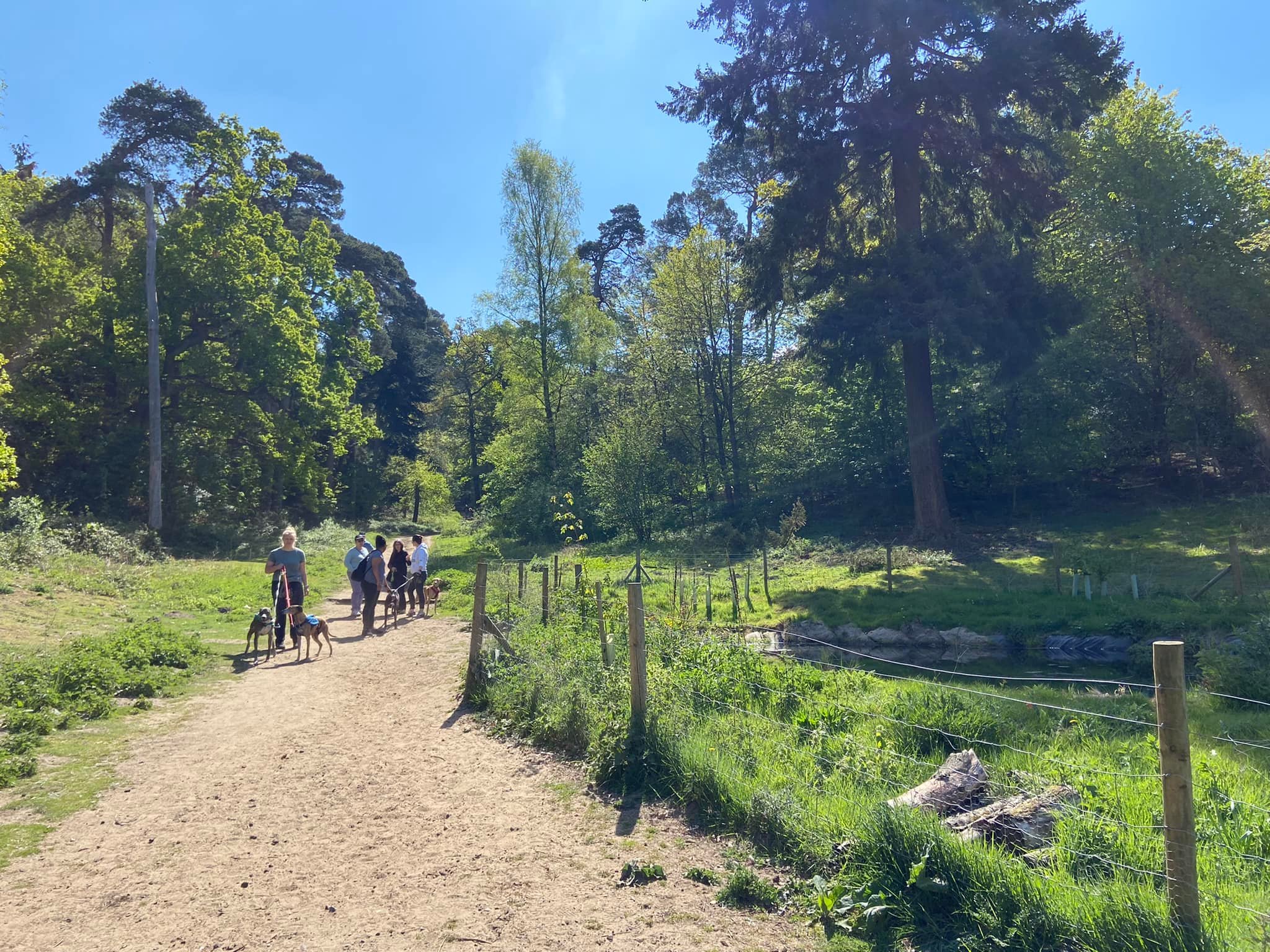
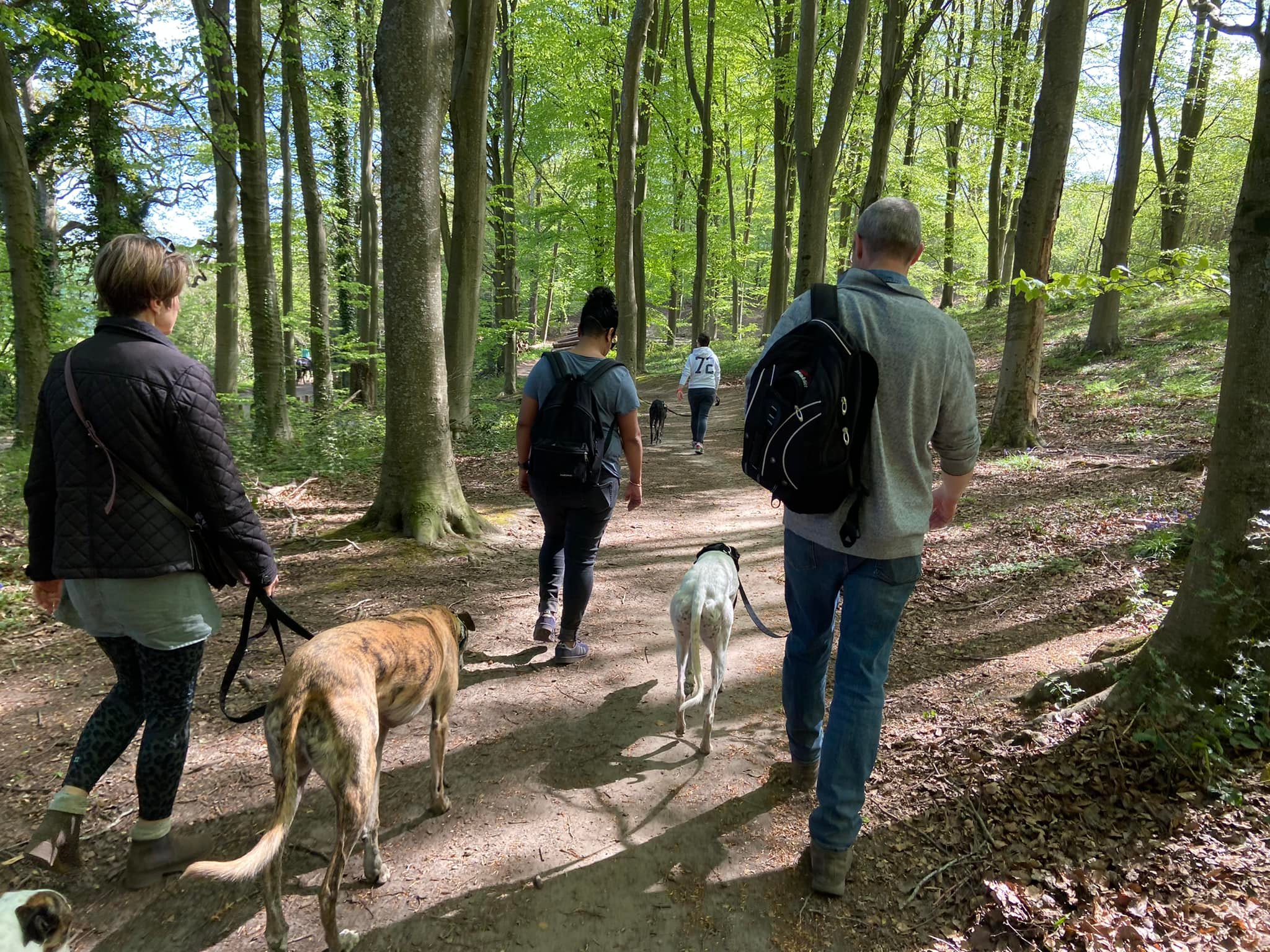
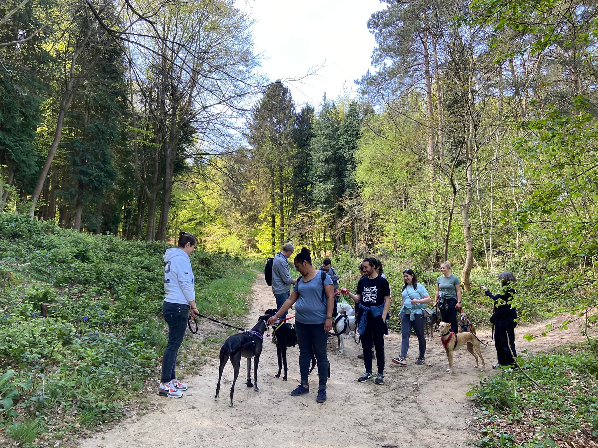
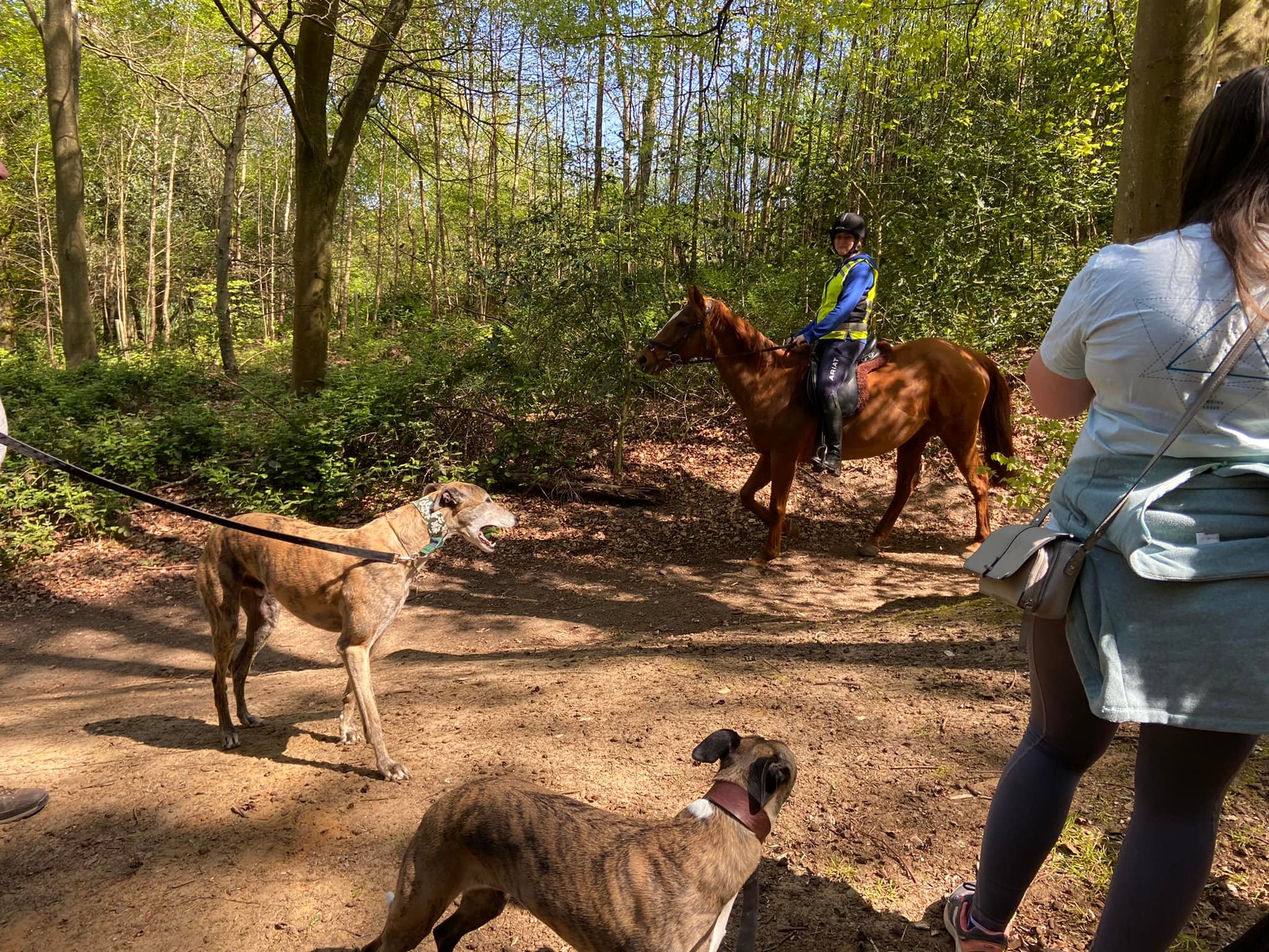
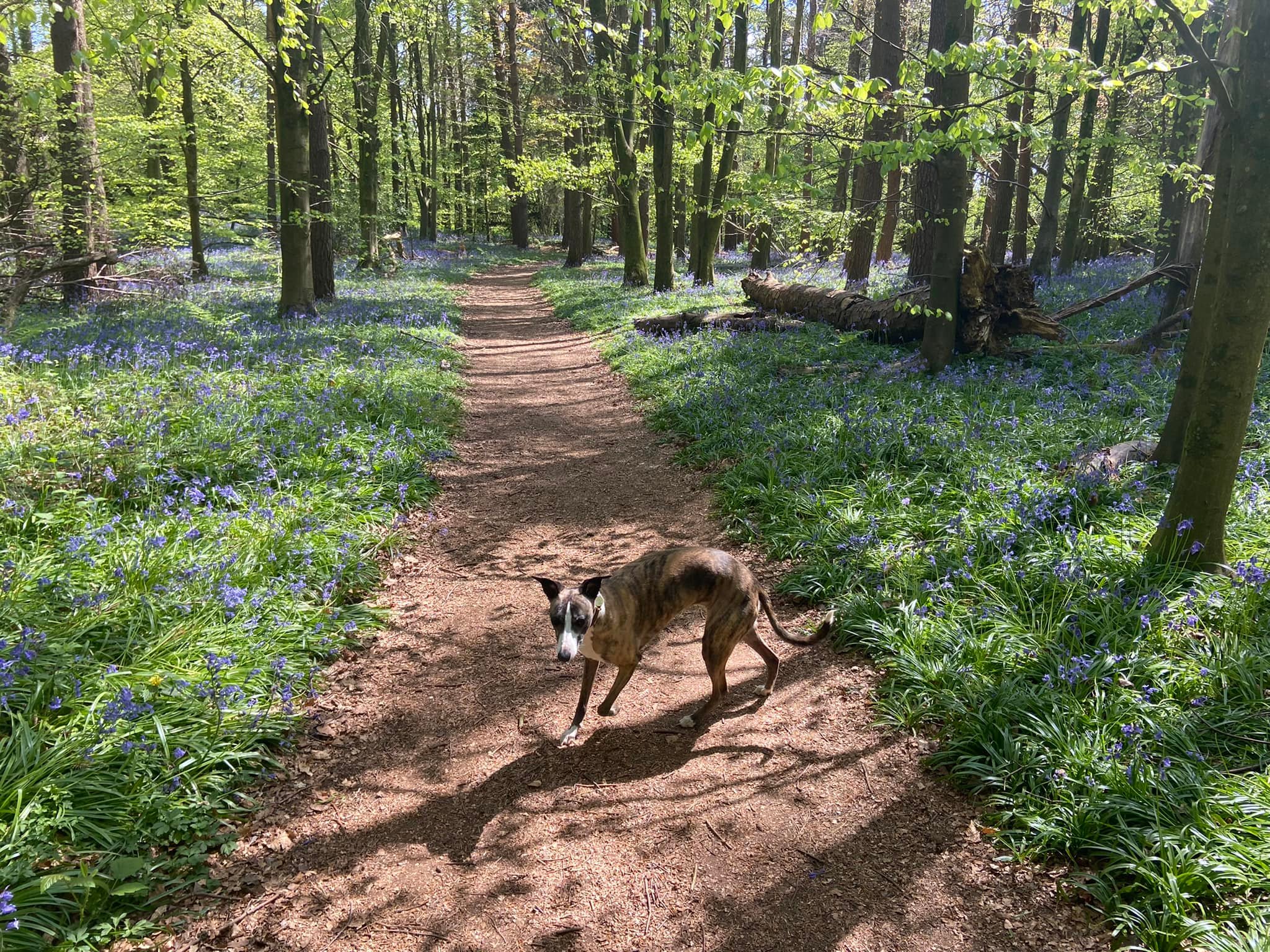
Gallery: What’s it like here?


Parking
You have two options for parking and both are free. There is a large car park on Halfpenny Lane, which is mainly used by walkers going to St Martha’s Church but there’s a route around Chantry Wood from here on this page.
The second option is the smaller Chantries car park
Poo bins?
At the car park
Self-guided walks
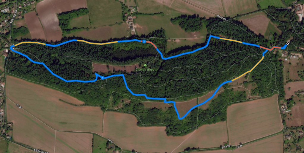
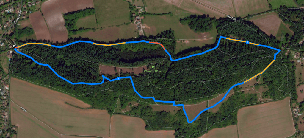
There are two self-guided walks on this page – they are largely the same route described from two different start/finish points. The first starts/ends at the car park on Halfpenny Lane. Keep scrolling down (or click here to jump) to a second walk route, which is from the Chantries car park.
Walk 1 – from Halfpenny Lane car park
Here is a Footpath app route from the large Halfpenny Lane car park. Also on AllTrails. It heads through the woodland up to the grassy area on the south side of the wood, where there is a lovely view of the surrounding countryside. The route then takes you back through the woods, via the viewpoint where you can see Guildford Cathedral and down to the site’s edge, where you pick up the North Downs Way to head back towards Half Penny Lane.
Length: approximately 2.7 miles/4.3 km
Terrain: Woodland and grassland, can be muddy during winter. There are a few slopes to go up and down but nothing too horrific, although you should wear decent footwear. There is a short section along the lane that you walk along twice – out and back.
Stiles/kissing gates? two kissing gates, no stiles
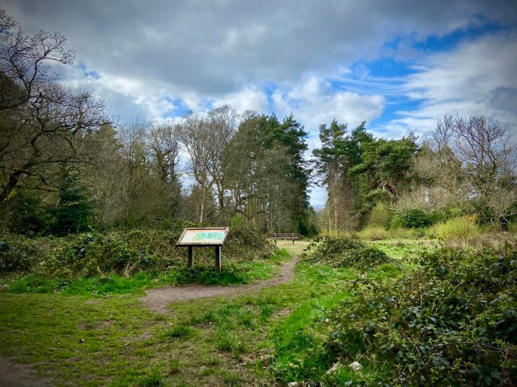
Facing the information board at the rear of the car park, walk to your right, passing between the trees and crossing over the tarmac drive with posts along it to get to the fence.
At the fence, turn right at the finger posts onto the North Downs way. Turn left onto the lane – there is no pavement so take care here – and walk the very short distance to the next corner and off to the right, where there is another finger post pointing out the North Downs Way. Pass the ‘private campsite sign’ and turn left to go between metal posts and the information board as well as a no horses sign.
At the first junction, take the left hand path. When you emerge out onto the grassy area, continue straight ahead with the woods on your right. Pass the loos and black campsite building on the right.
Go through the double gate, ignoring the kissing gate on the right and, where the path forks, take the left path, which you can tell is the lesser used one because it hasn’t suffered as much erosion and is grassier.
At the fence/hedge, go through the kissing gate ahead, ignoring the smaller path down to the left. Continue down to the viewpoint and enjoy the view.
Then follow the path round to the right and back to the main path that skirts the wood. Turn left on this and pass through the metal gate (which is usually open so no need to use the kissing gate next to it.)
You’ll come to a bench almost straight away, where you turn right and head into the wood through the gate, then immediately turn left.
At the information board, follow the curve around to the right and then back left, ignoring the kissing gate out to the grassland to the left and the small path with the fallen tree trunk to the right.
At the end of the path, where there is a tall wood and wire fence ahead, turn left. Follow the way to the next information board, which is on the right, and head right to the perfectly-placed bench to admire the view of Guildford Cathedral framed by the trees.
Guildford Cathedral is a relatively modern building, consecrated in 1961, although it did take nearly three decades to build! Many of its bricks were paid for by locals through a ‘buy a brick’ scheme, which allowed them to, well, buy a brick, and have their name inscribed on it. A well known landmark in Surrey because it can be seen for miles around, the cathedral is also known internationally due to it being featured in horror flick, The Omen, with anti-Christ child Damian erupting into a rage as the car draws up to a wedding there. The film had a damaging impact on attendance at services for a long time after, with the Dean in 2006 saying: “It was a disaster, it should never have been done. People who were a bit thick were frightened to come into the building.”
When you’re done admiring the view of the cathedral, return to the main path and continue ahead towards the small wooden post to the right of the path. Take the right-hand path here and follow it downhill, then bear left to go down the steps.
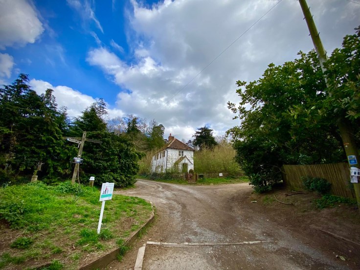
Pass the pond and go down to the metal vehicle gate and through the gap to its right. Turn right and you’ll see Chantries car park in front of you and a white cottage on your right, called Chantry Cottage. Turn right again onto the gravel track – this is the other end of the North Downs Way.
After some distance along the North Downs Way, ignore the wooden vehicle gate on the right, but shortly after this, a small path comes off to the right to run parallel to the track. While the track rarely has cars on it, I do tend to take this small path just to be on the safe side.
This small path will eventually bring you down to a wooden vehicle gate, which will be to your left. Bear right here and continue ahead and away from the gate. It gets a bit stony underfoot and ascends round to the right.
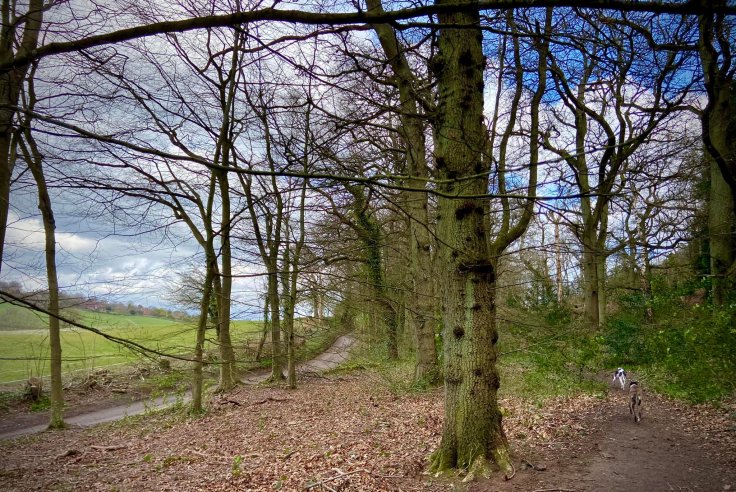
At the next fork, take the lower path to the left and then, when it winds down to a cross paths, turn left and walk along the edge of a field on your left, while the woods stretch away up to the right.
Go down the dip and ignore the path to the right, instead continuing straight ahead up the other side of the dip. As the field on your left comes to an end, there’ll be an old wooden post on the path. Turn left and walk down the side of the field. At the bottom of the slope, turn right – and you are back on the North Downs Way.
After a short way, the path gets narrower and gullied as it heads into coniferous woodland. Continue straight on it at the fallen tree to the left of the path and straight again at the next junction (where a path joins from the left and there is a finger post on the right.)

Go ahead and up the slope passing the dead tree trunk to arrive at another finger post and a bin. You should recognise that you’re back at the start of the walk, with the path past the information board and no horses sign heading off to your right.
Continue straight to the road, turn left to go a little way along it, then cross over at the lamp post and take the footpath back up the slope to the car park.
Walk 2 – from Chantries car park
Here is a Footpath app route from the Chantries car park, which takes you along the North Downs Way, then loops through the woodland up to the grassy area on the south side of the wood, where there is a lovely view of the surrounding countryside. It then takes you back through the woods, via the viewpoint where you can see Guildford Cathedral, and down back to the car park. Route also on AllTrails.
Length: approximately 2.5 miles/4 km
Terrain: Woodland and grassland, can be muddy during winter. There are a few slopes to go up and down but nothing too horrific, although you should wear decent footwear.
Stiles/kissing gates? two kissing gates, no stiles
Exit the car park through the vehicle exit in the rear corner and you’ll see Chantry Cottage in front of you. Turn left to take the gravel drive that runs alongside it.
After some distance along the North Downs Way, ignore the wooden vehicle gate on the right, but shortly after this, a small path comes off to the right to run parallel to the track. While the track rarely has cars on it, I do tend to take this small path just to be on the safe side.
This small path will eventually bring you down to a wooden vehicle gate, which will be to your left. Bear right here and continue ahead and away from the gate. It gets a bit stony underfoot and ascends round to the right.
At the next fork, take the lower path to the left and then, when it winds down to a cross paths, turn left and walk along the edge of a field on your left, while the woods stretch away up to the right.
Go down the dip and ignore the path to the right, instead continuing straight ahead up the other side of the dip. As the field on your left comes to an end, there’ll be an old wooden post on the path. Turn left and walk down the side of the field. At the bottom of the slope, turn right – and you are back on the North Downs Way.
After a short way, the path gets narrower and gullied as it heads into coniferous woodland. Continue straight on it at the fallen tree to the left of the path and straight again at the next junction (where a path joins from the left and there is a finger post on the right.)
Go ahead and up the slope passing the dead tree trunk to arrive at another finger post and a bin. Turn right and walk between the metal bollards and past the information board and no horses sign.
At the junction, take the left hand path. When you emerge out onto the grassy area, continue straight ahead with the woods on your right. Pass the loos and black campsite building on the right.
Go through the double gate, ignoring the kissing gate on the right and, where the path forks, take the left path, which you can tell is the lesser used one because it hasn’t suffered as much erosion and is grassier.
At the fence/hedge, go through the kissing gate ahead, ignoring the smaller path down to the left. Continue down to the viewpoint and enjoy the view.
Then follow the path round to the right and back to the main path that skirts the wood. Turn left on this and pass through the metal gate (which is usually open so no need to use the kissing gate next to it.)
You’ll come to a bench almost straight away, where you turn right and head into the wood through the gate, then immediately turn left.
At the information board, follow the curve around to the right and then back left, ignoring the kissing gate out to the grassland to the left and the small path with the fallen tree trunk to the right.
At the end of the path, where there is a tall wood and wire fence ahead, turn left. Follow the way to the next information board, which is on the right, and head right to the perfectly-placed bench to admire the view of Guildford Cathedral framed by the trees.
Guildford Cathedral is a relatively modern building, consecrated in 1961, although it did take nearly three decades to build! Many of its bricks were paid for by locals through a ‘buy a brick’ scheme, which allowed them to, well, buy a brick, and have their name inscribed on it. A well known landmark in Surrey because it can be seen for miles around, the cathedral is also known internationally due to it being featured in horror flick, The Omen, with the anti-Christ child Damian erupting into a rage as the car draws up to a wedding there. The film had a damaging impact on attendance at services for a long time after, with the Dean in 2006 saying: “It was a disaster, it should never have been done. People who were a bit thick were frightened to come into the building.”
When you’re done admiring the view of the cathedral, return to the main path and continue ahead towards the small wooden post to the right of the path. Take the right-hand path here and follow it downhill, then bear left to go down the steps.
Pass the pond and go down to the metal vehicle gate and through the gap to its right. Turn right and you’ll see Chantries car park in front of you.

Leave a comment