
Page contents
About
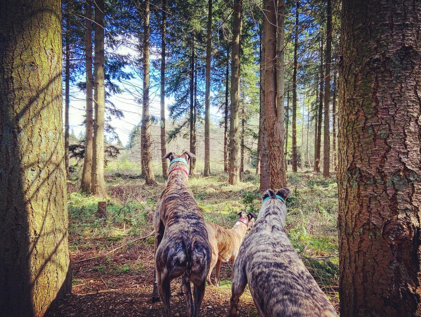
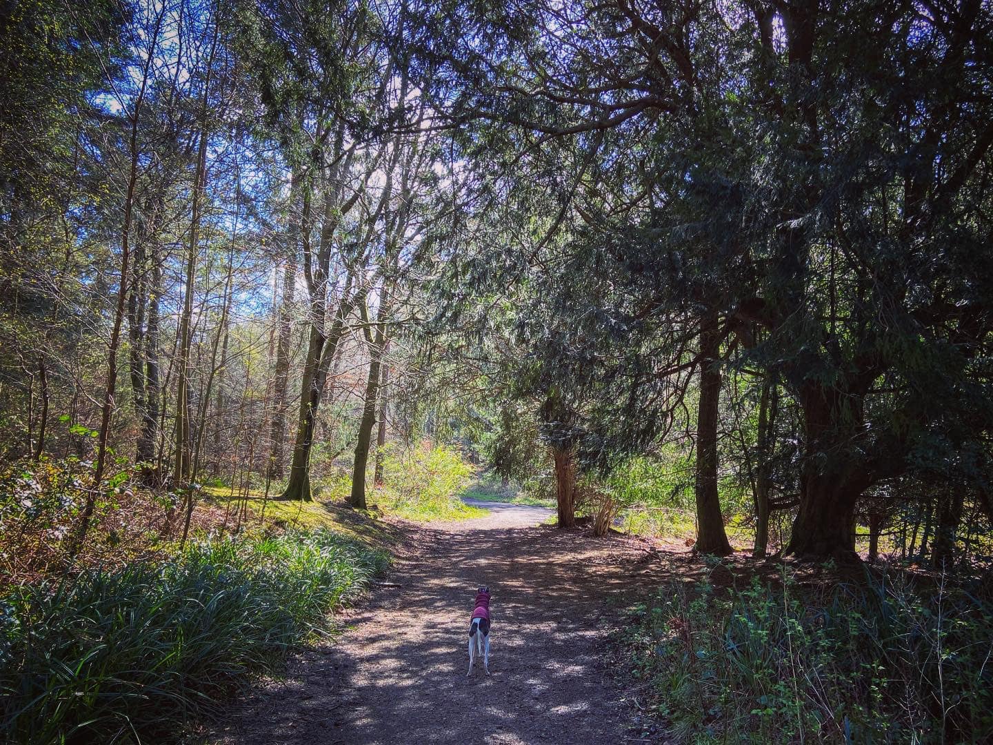
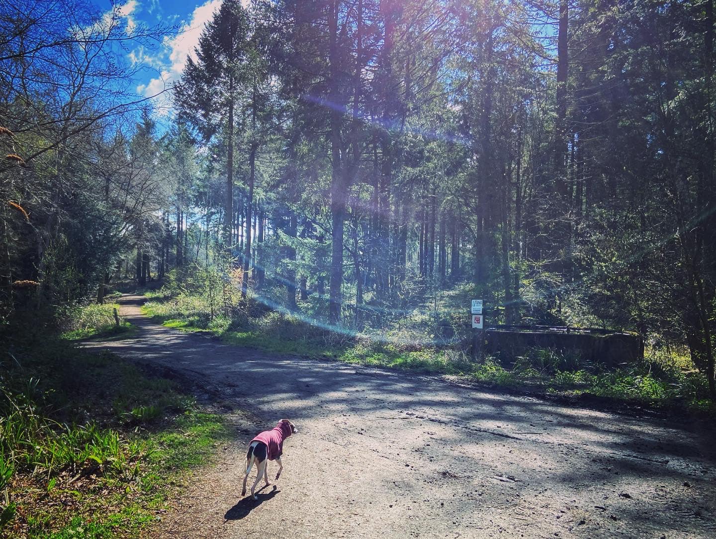
Gallery
Parking
Poo bins?
Self-guided walk
About
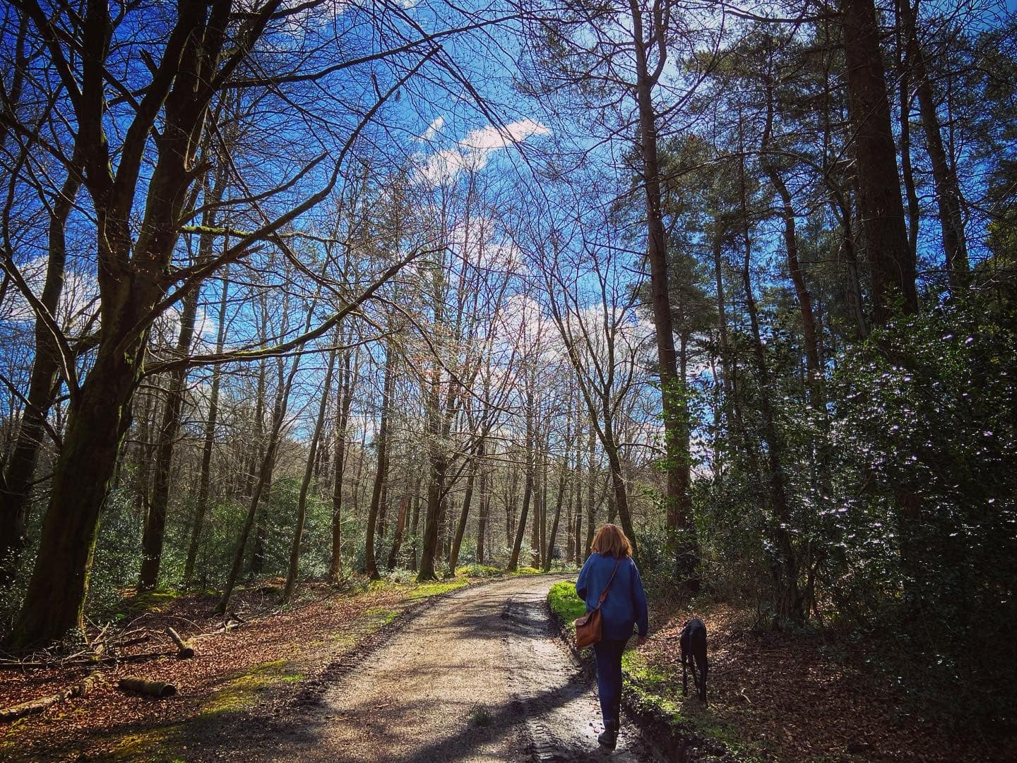
Netley Heath on the North Downs scarp slope above Gomshall is an area of woods and heathland that is part of Shere Woodlands. This area once formed part of the Bray Estate of Shere, who used it to produce timber for Gomshall Tannery. Cattle were also grazed on the land.
The concrete tracks which run through the woods were built during WWII by the Canadian Pioneer Corps to make it easier to move military personnel and equipment around prior to D-Day in 1944.
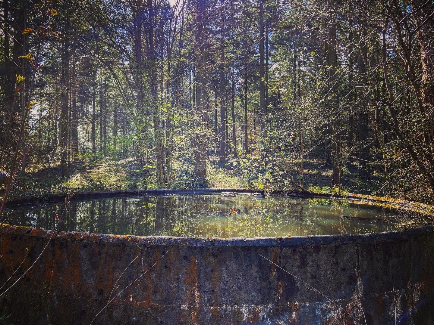
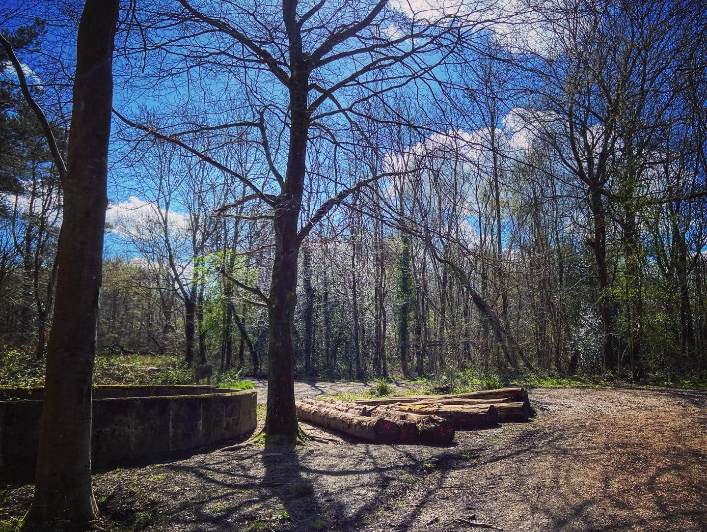
There are several circular concrete reservoirs in the woodland, two of which are passed on the walk described on this page. Only the first one, however, can still hold water, and is a valuable habitat for aquatic insects, ducks and lilies.
Incidentally, I’ve fairly recently learnt that the car park is at a place called Francis Corner (not noted on any map I’ve ever used, mind) and some people call this area Francis Corner woodland.
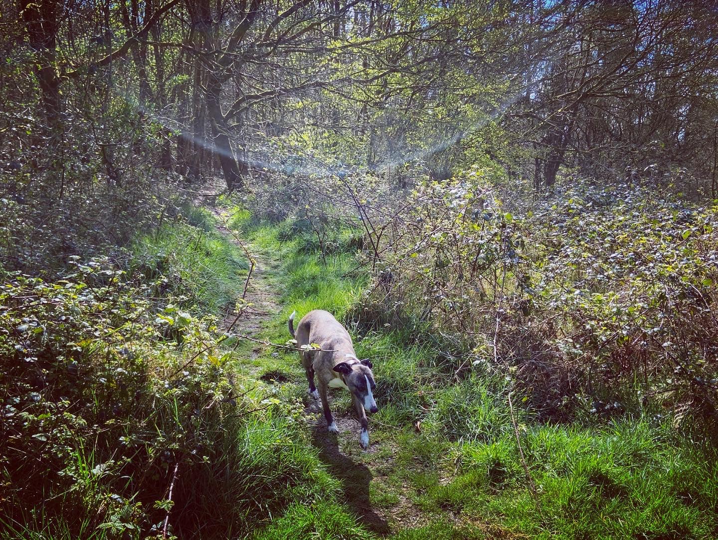
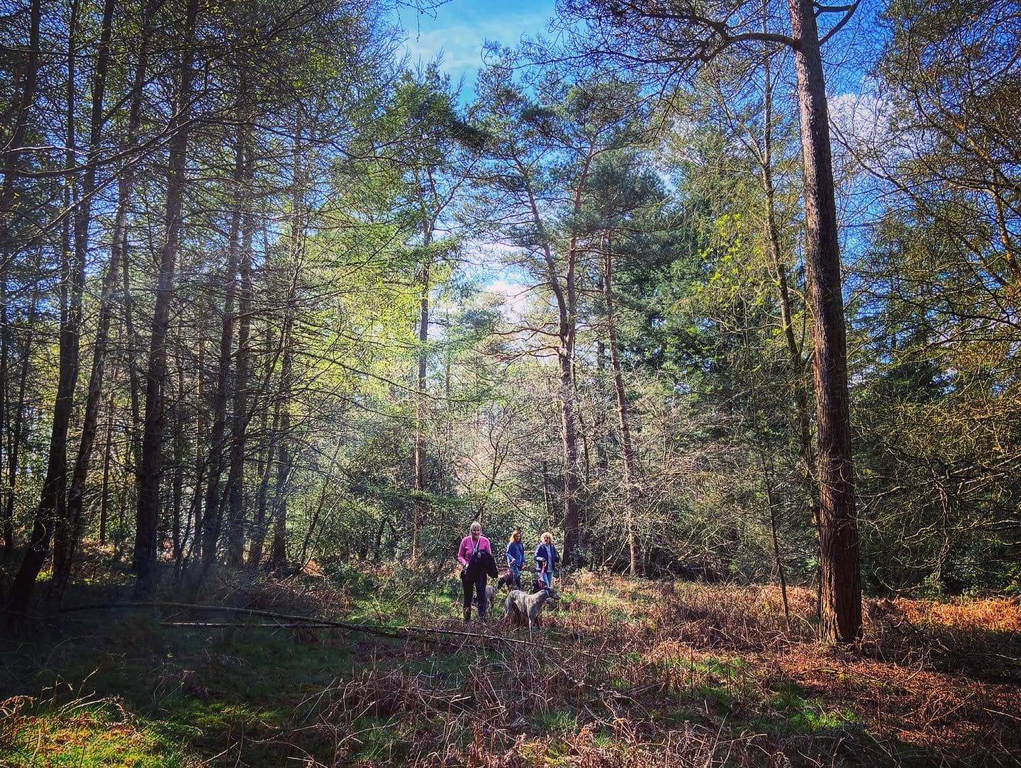
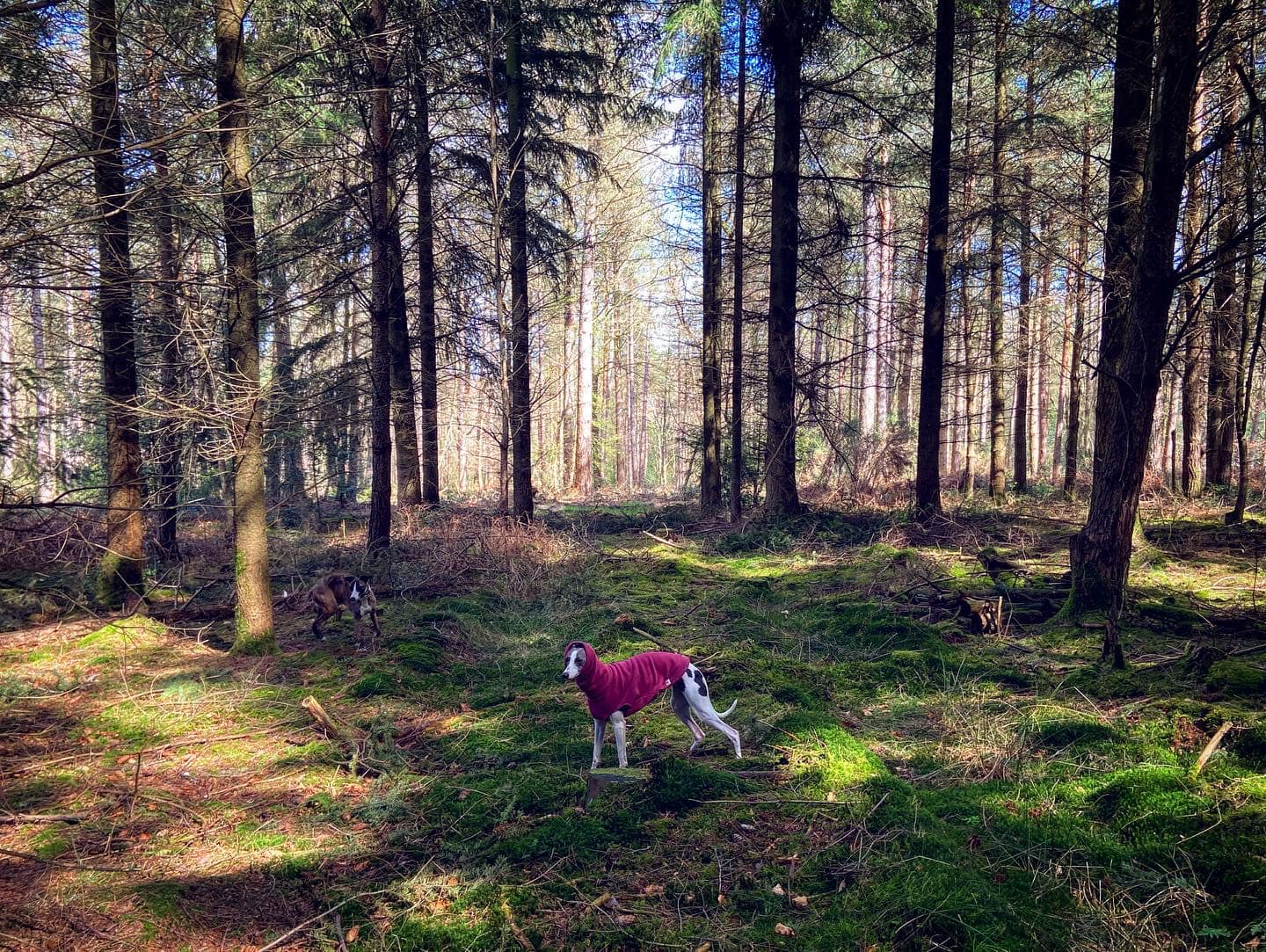
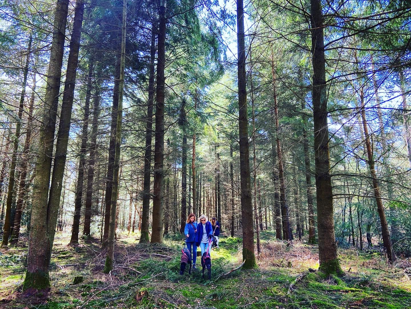
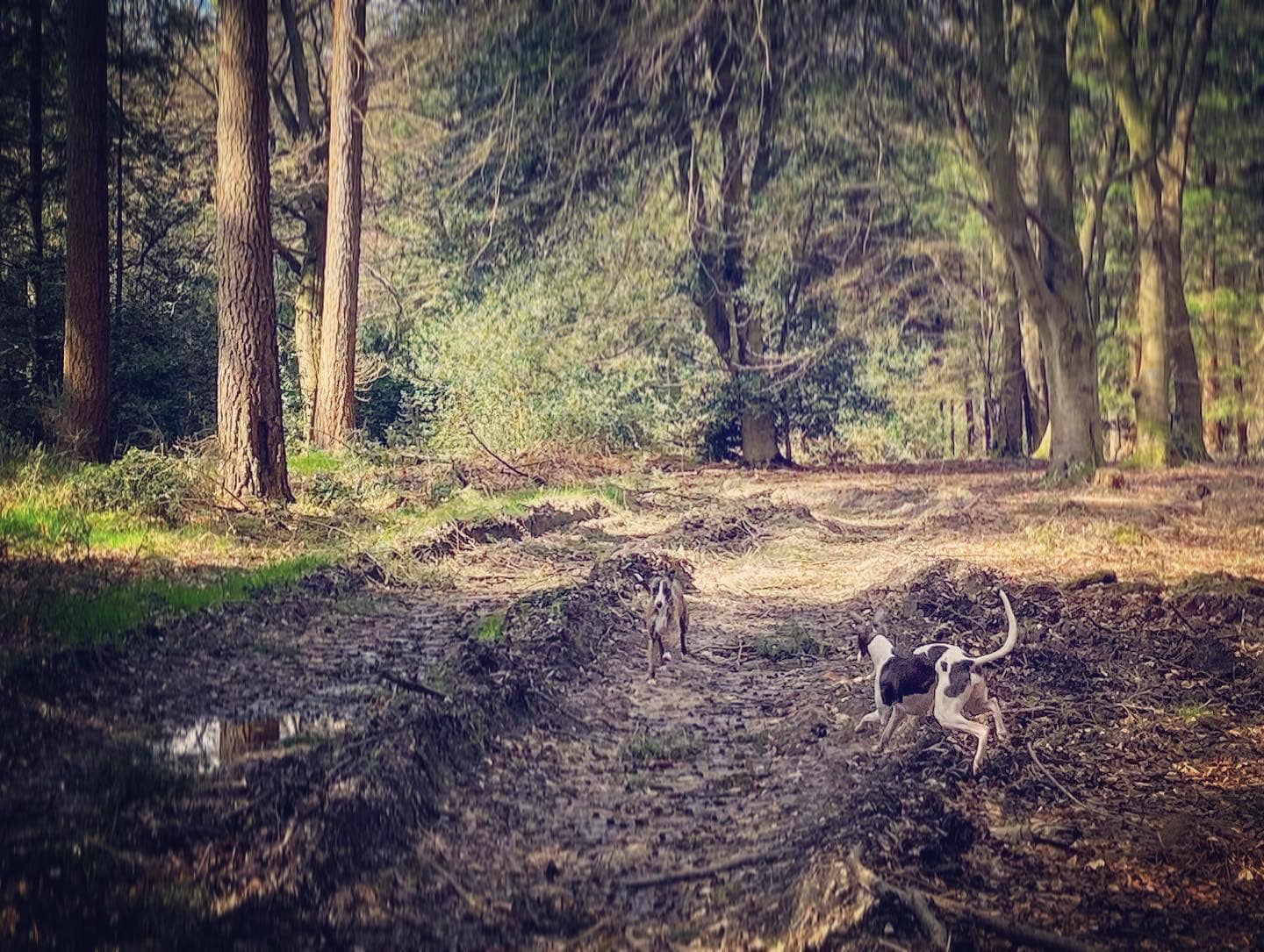
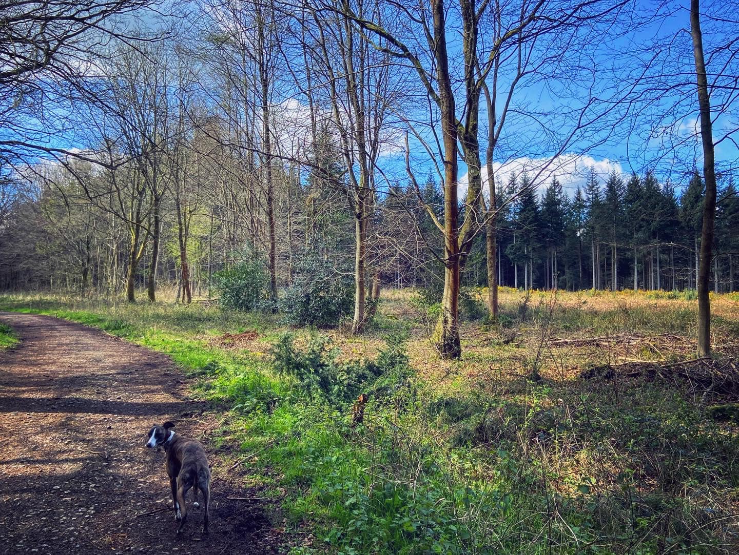
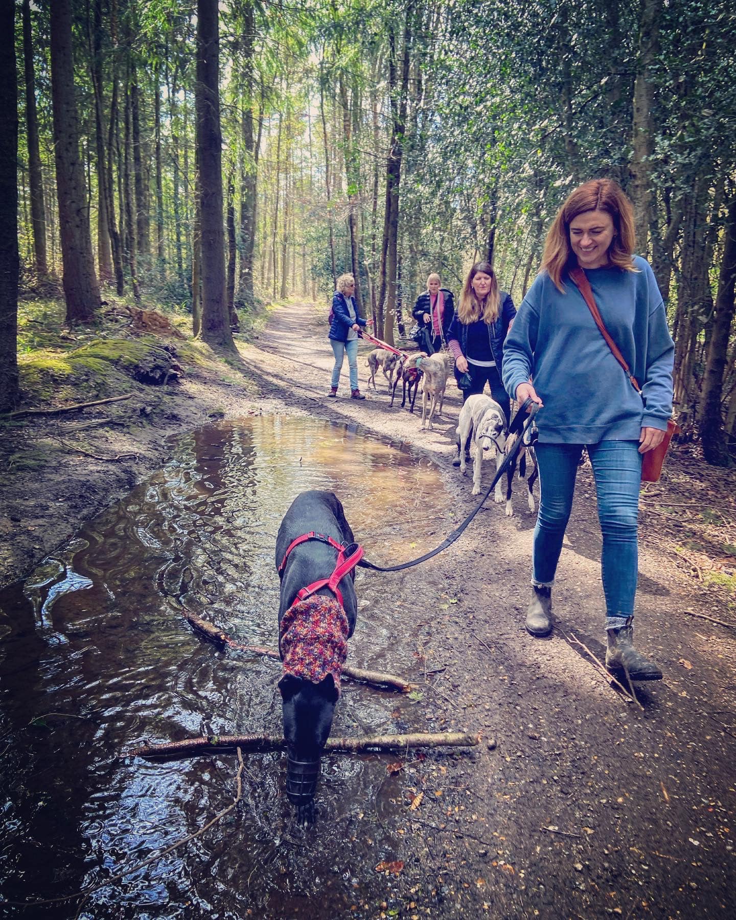
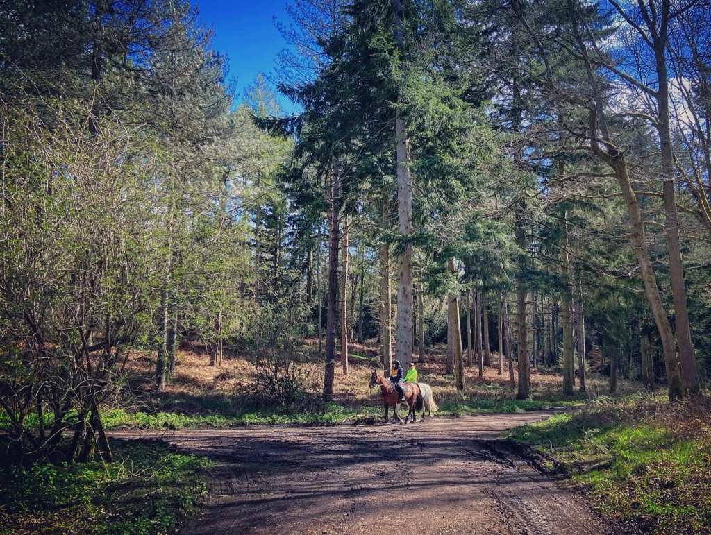
Gallery: What’s it like here?


Parking
Park in the small Combe Lane car park. There’s room for about six or seven cars.
Poo bins?
None, please take waste away with you.
Self-guided walk
Here is a Footpath app route from the small car park on Combe Lane. Also on AllTrails. This is a really easy walk, which loops through woodland with an out-and-back detour to a small viewpoint.
Length: approximately 2.9 miles/4.7 km
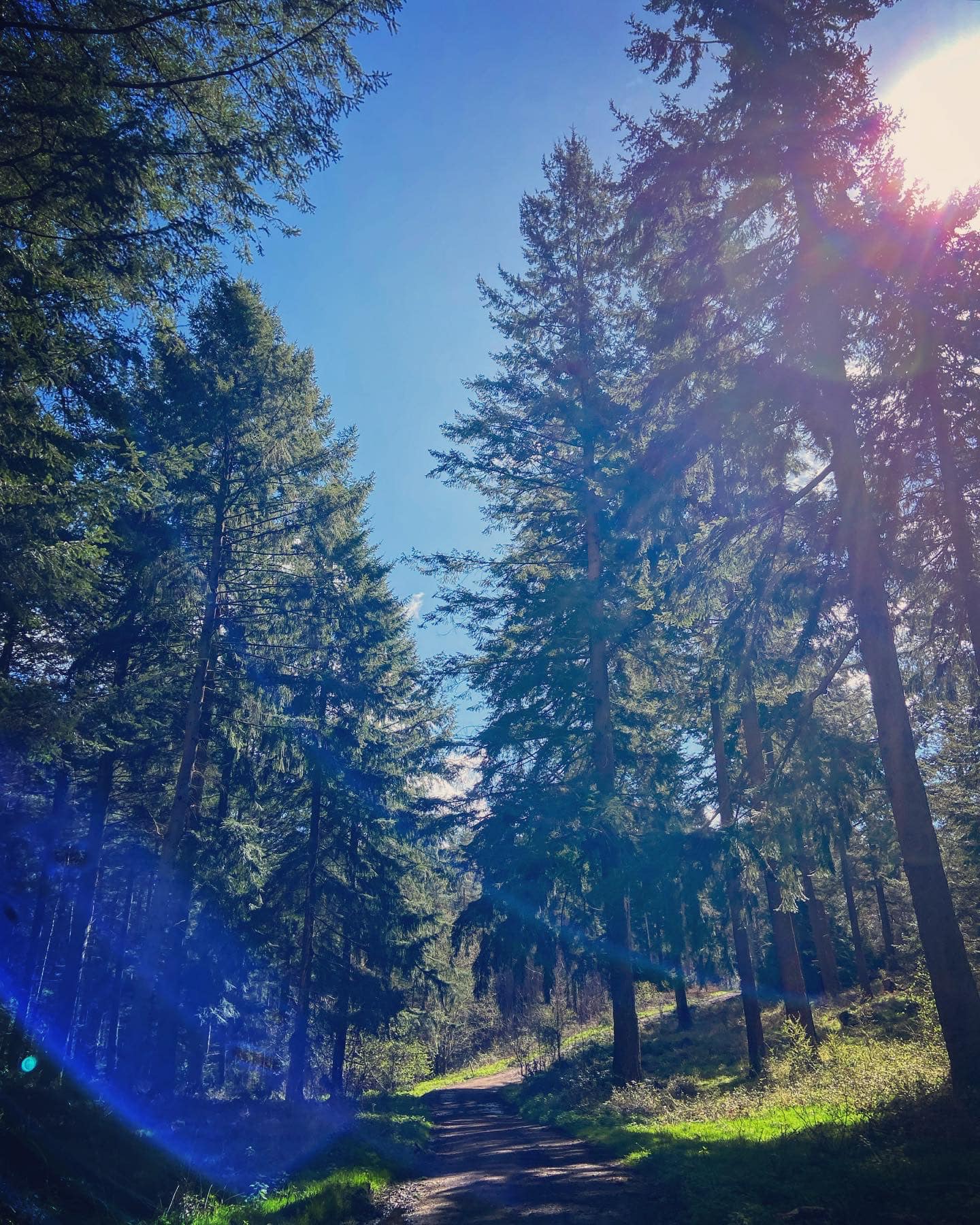
Terrain: Most of this walk follows very clear tracks/main paths. Can be a bit muddy in winter – but most places are. There are no slopes of any real note, this is a largely flat walk.
Stiles/kissing gates? No stiles, no kissing gates

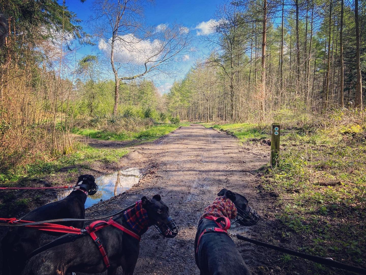
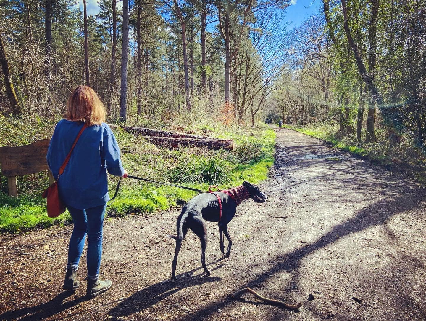
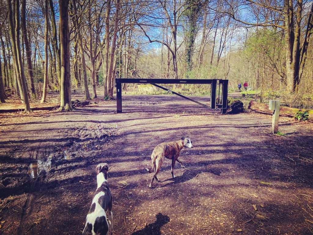
Pass the barrier at back of car park. At the metal barrier go straight ahead. At the end, where the round WWII concrete reservoir, go left and then take the lower left path.

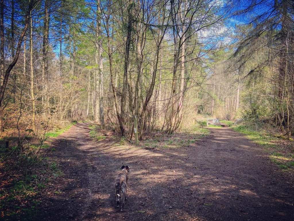
At the cross paths by the small marker post, continue straight on the main path.

Continue on the main path round to the right and ignore the path up to the left.
At the next junction, bear round to the right.
Then stay on the main path as it ascends, ignoring a tiny path off to the left. At the end, you’ll come to another concrete reservoir to the left.
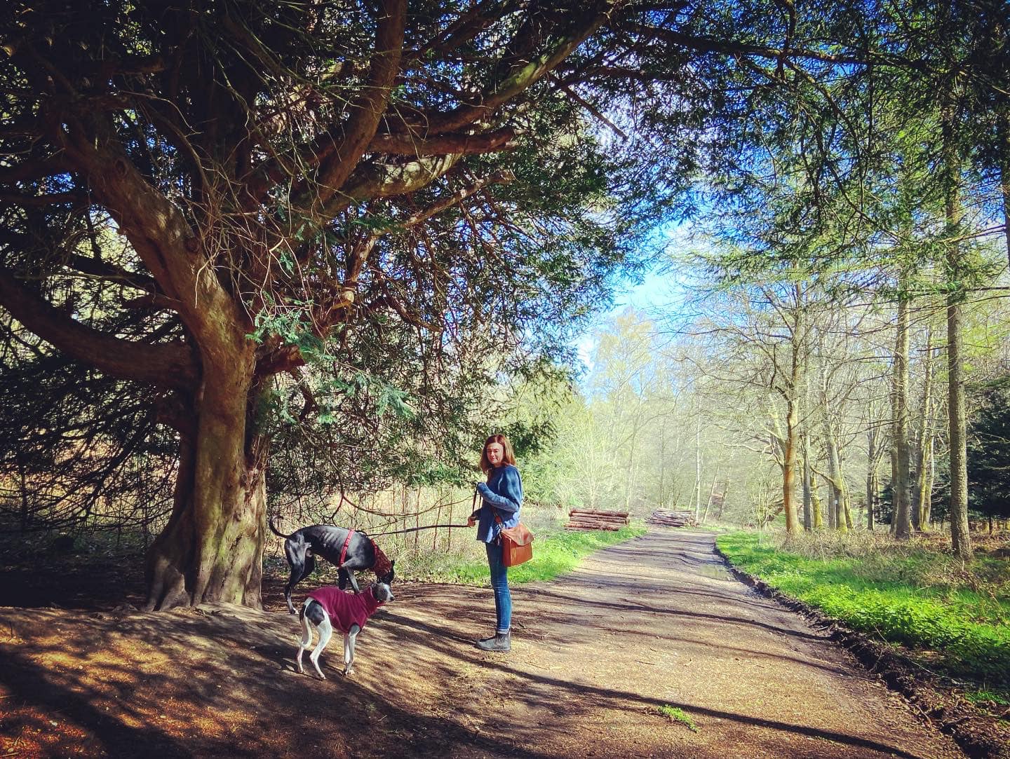
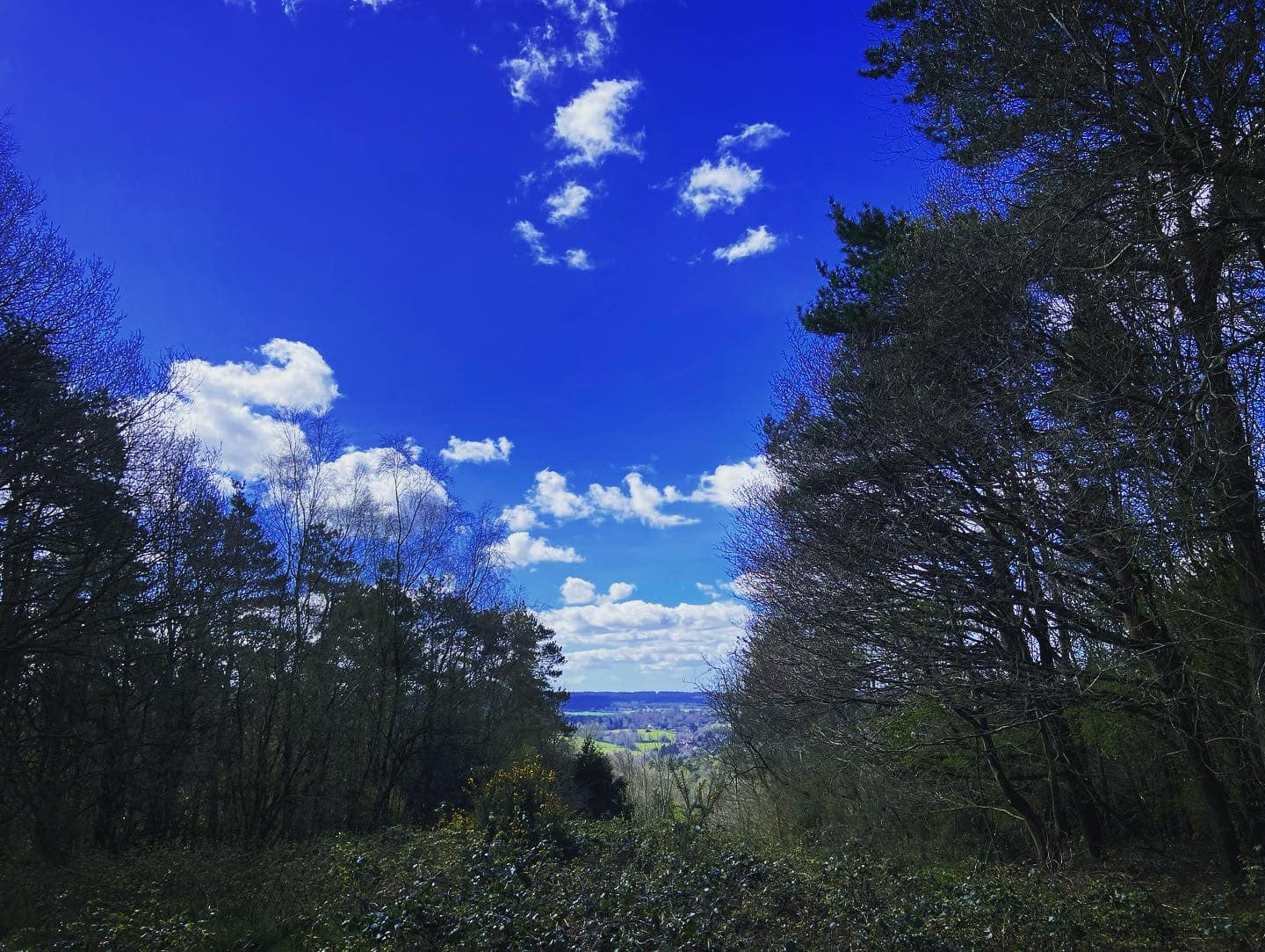
Turn left at the reservoir. There’s a finger post on the other side of the path. Take the path signposted to the Viewpoint, walking past a sign about Shere Woodland (on the left). This is the old Drove Road, which was originally used for driving livestock along the Downs. Today, it is part of the the North Downs Way, the 141-mile long distance footpath that runs from Farnham to Dover.
The viewpoint is at a part of the woods known as Little Kingswood. This is now a beech plantation but originally supplied coppiced timber for fuel. From the viewpoint here you can see the hills of the Greensand Ridge running parallel to the North Downs. To the right is St Martha’s Hill, to the left is Leith Hill (the highest point in Surrey), and in the centre is Holmbury Hill.
When you’re done at the viewpoint, about turn and go back along the North Downs Way the way you came.
Back at the junction, where the reservoir is now on your right, continue straight ahead.
Stay on the main path when it curves around to the left with a tiny path off ahead/slightly right. Over to your right as you walk along, you can see a patch of gorse heathland through the trees to the right.

Continue straight at the next junction where there is a path to the right through the heath and to the left there’s a stick barrier blocking the way.
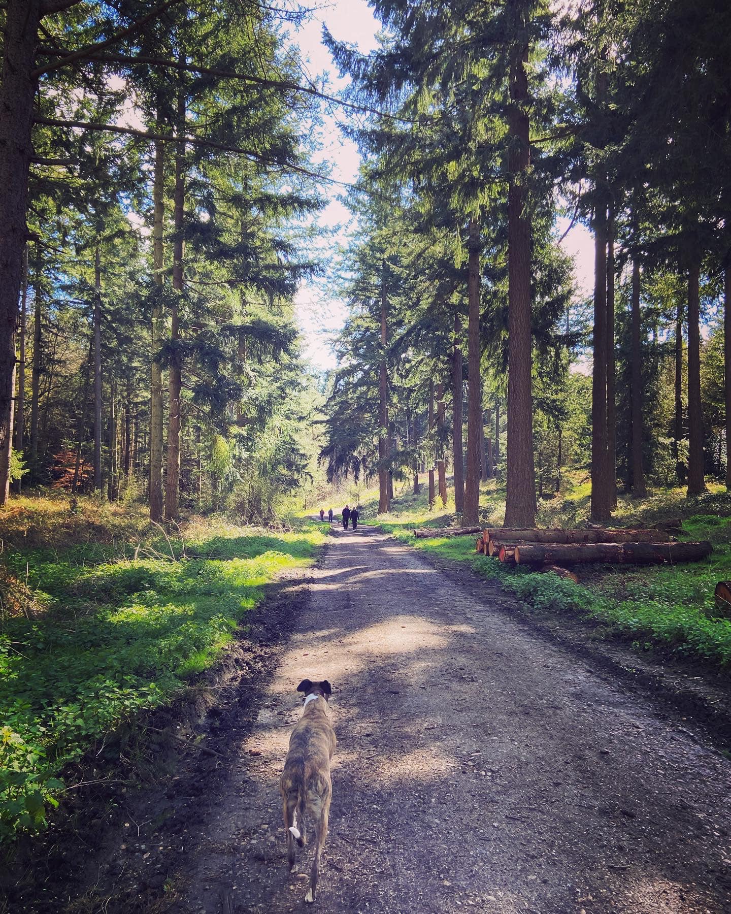
Keep going straight at the next two junctions and then pass a National Trust sign on the left for Netley Park. It used to be part of the Netley Estate owned by the Lomax family. The mansion at Netley Park was used as a hospital in WWI and was occupied by the Canadian army during WWII.
Go to the side of the tall black barrier and turn right, walking past the Surrey Wildlife Trust Netley Plantation sign.
Walk down the path with the small logs on either side and then at the fork, with the finger post in the middle, take the left hand fork (where the right hand path has a metal barrier across it).
At the end, turn left and this will take you back to the car park.
