Page contents
About
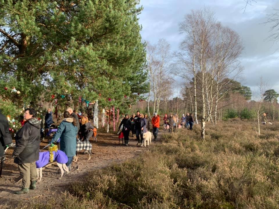
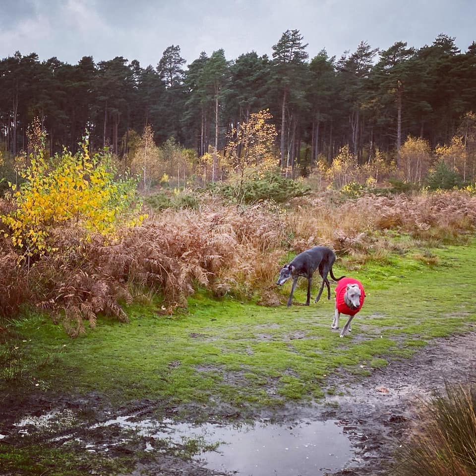
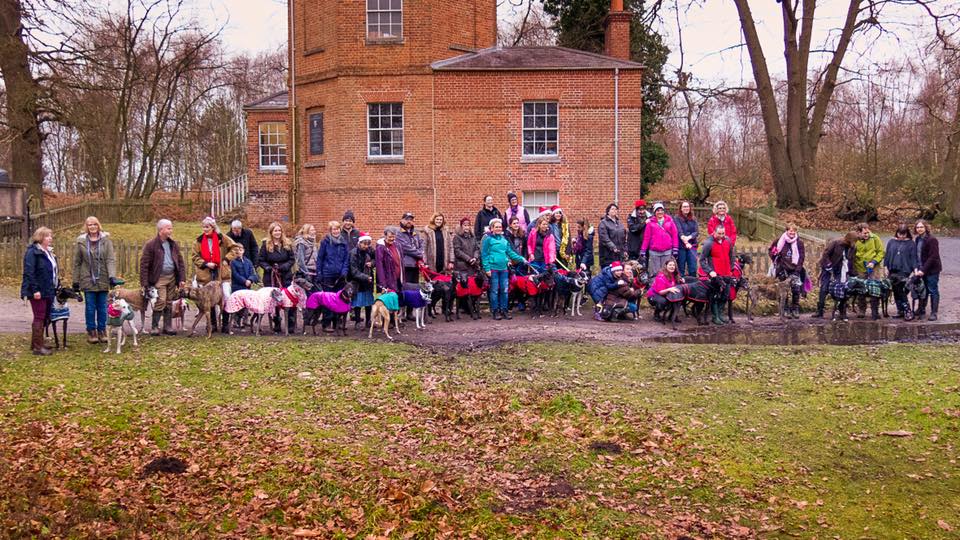
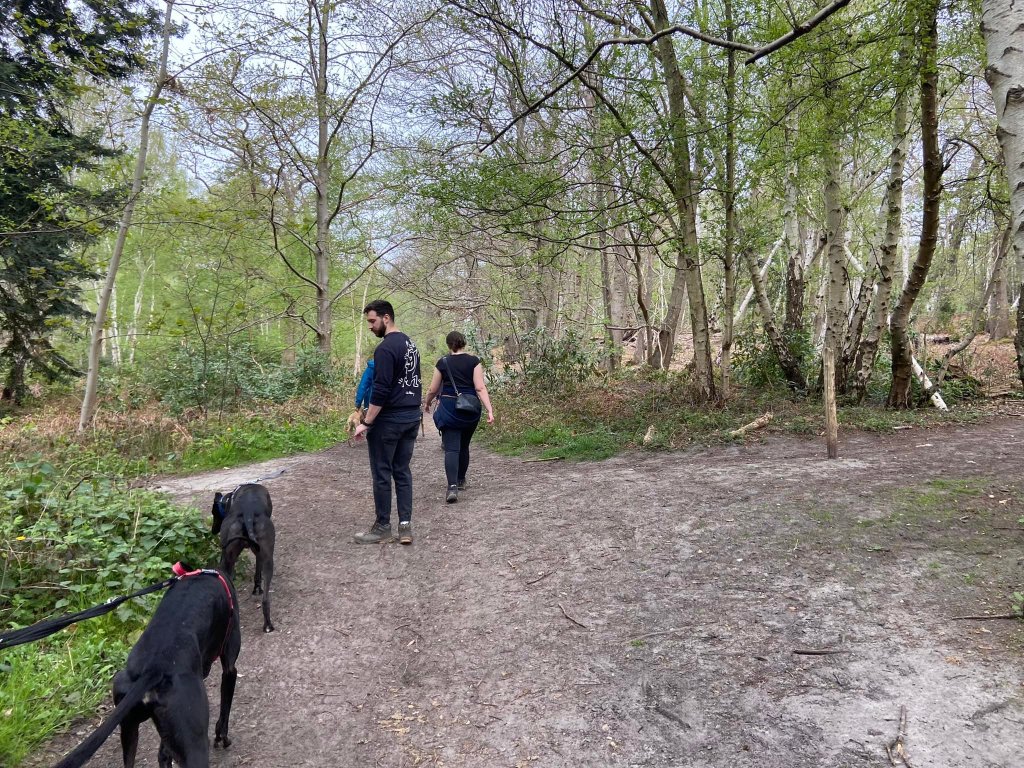
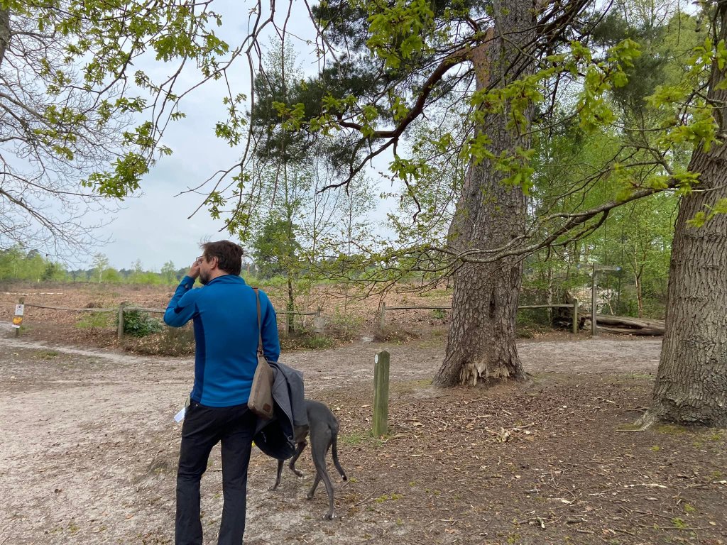
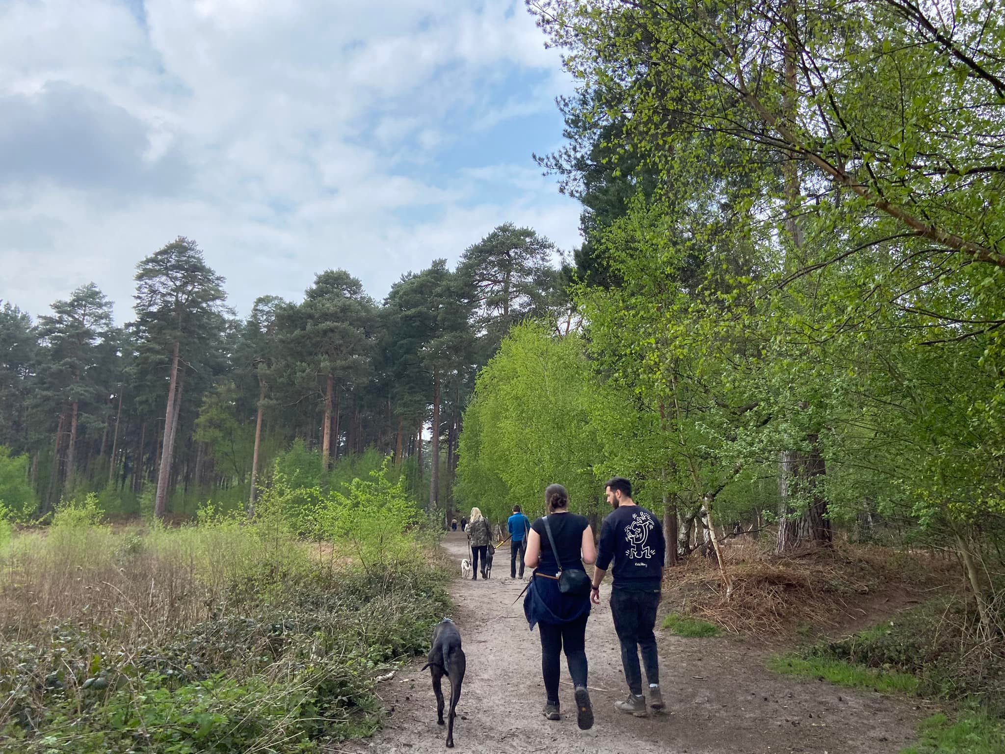
Gallery
Instagram reel showing here
Parking
Poo bins?
Self-guided walk
PLEASE NOTE – There are major ‘improvement’ works at the M25/A3 junction until the end of time (well, 2025) and, sadly, they are causing massive disruption both to the landscape and to the woodlands on all four adjoining woodland areas (Silvermere, Wisley Common, Wisley Airfield and Boldermere, Ockham Common, and the privately-owned Painshill Park.) Because of this, I can’t be confident that the routes I have written out for these locations aren’t affected so I would NOT trust the descriptions on this page for the time being – and I have no intention of going to any of these places to check while the roadworks mean the traffic around them is a bloody nightmare. So, if you decide to visit these locations using this website for guidance around them, proceed with caution.
About
Wisley and Ockham Commons and Chatley Heath is a 297-acre nature reserve owned by Surrey County Council and managed by the Surrey Wildlife Trust. The site is mainly heathland but it also has areas of open water, bog, woodland and scrub.
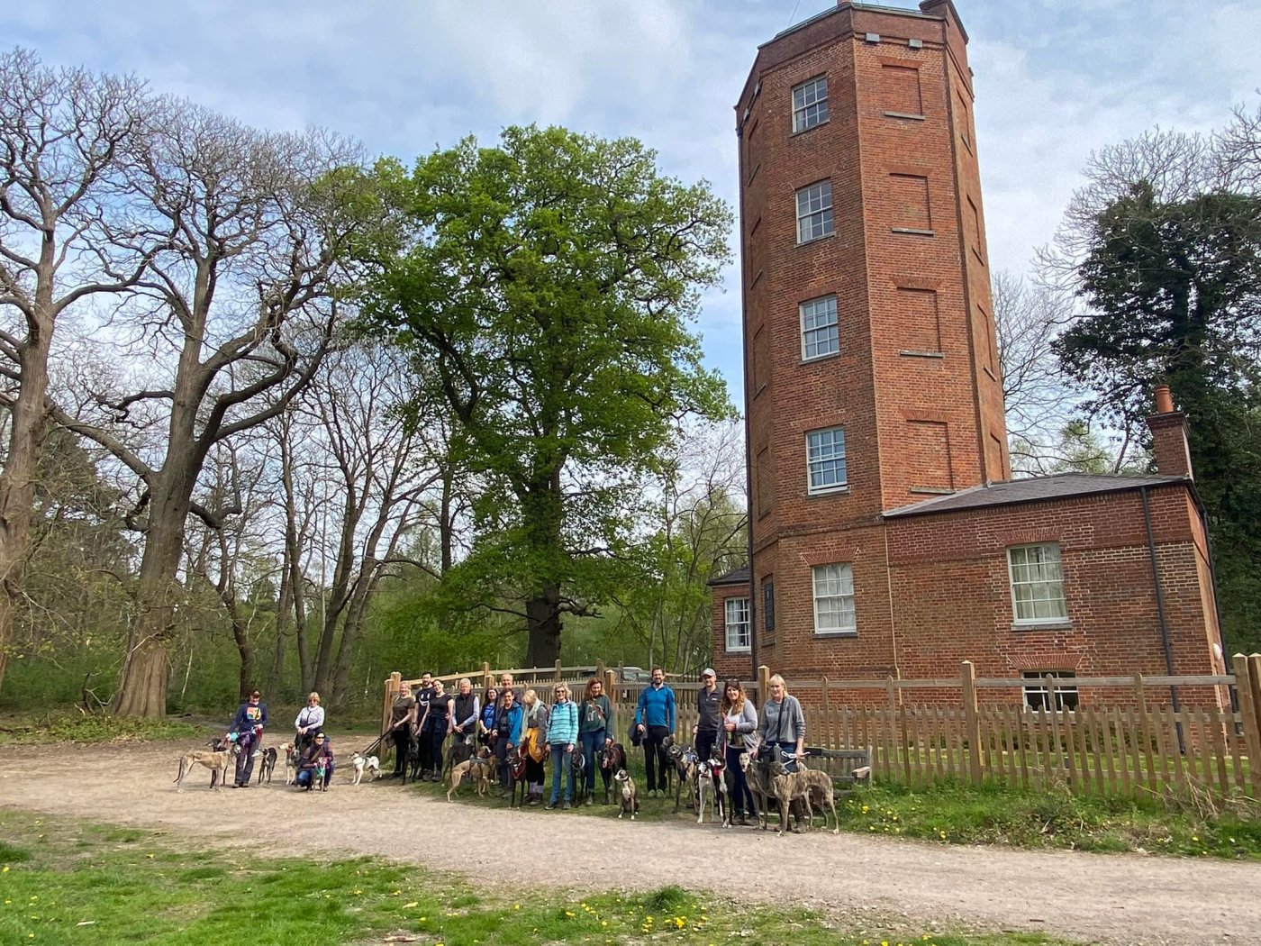
As well as beautiful natural habitats, there are also some interesting man-made features, including on top of Chatley Heath (formerly known as Breach Hill), a 60ft (18m) high, narrow octagonal semaphore tower, which formed part of the Royal Navy Semaphore line during the Napoleonic Wars.
Commissioned following the 1815 Battle of Waterloo and operational between 1822 and 1847, it was at the forefront of technology and design, a vital link in a signalling/communication chain of 25 semaphore stations that transmitted messages from Admiralty House in London to Portsmouth Docks in just a few minutes. Like the other stations, it was lived in by a retired naval lieutenant and a team, who would monitor the semaphore masts of the stations on either side for any sign of a message being sent down the line. If a message was picked up from either direction, they would relay it on.
Today, as the only surviving working semaphore tower in Britain, it has scheduled monument status. It was restored by the Landmark Trust during 2019 and 2020 and is now a quirky (dog-friendly!) holiday home, which you can hire here.
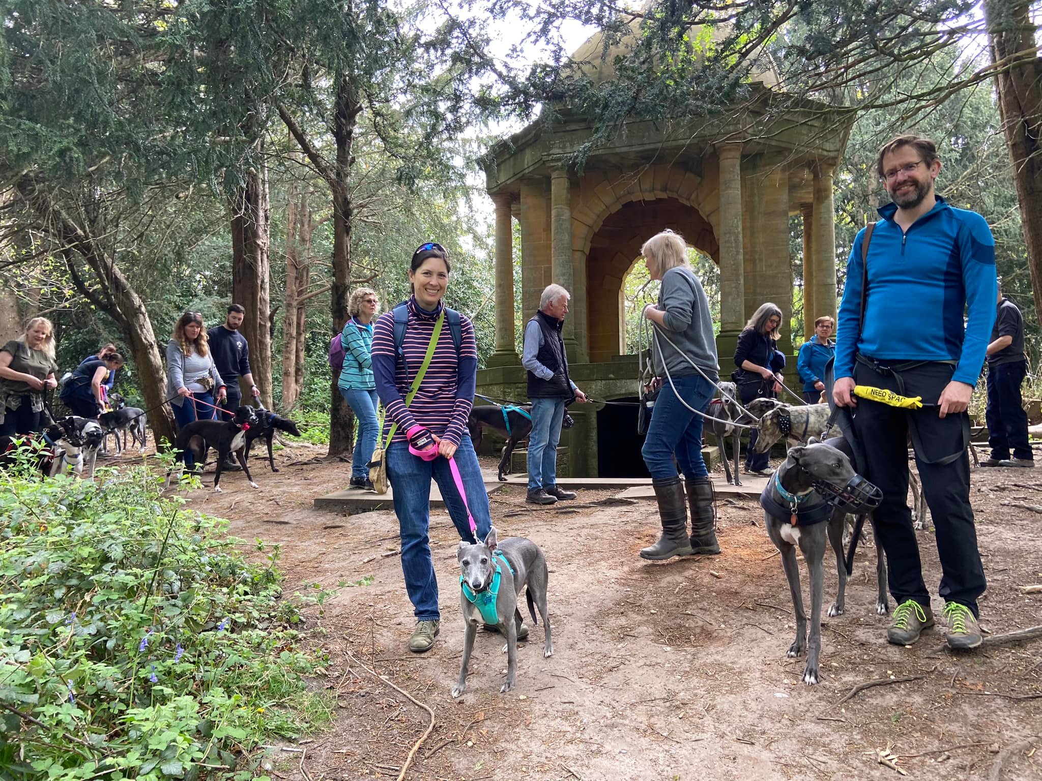
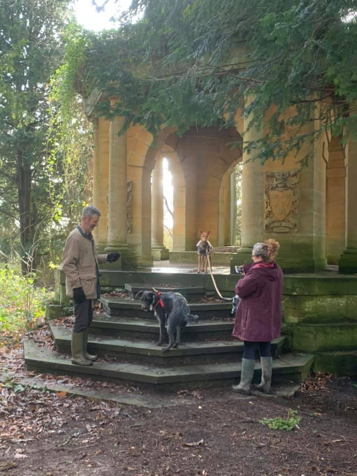
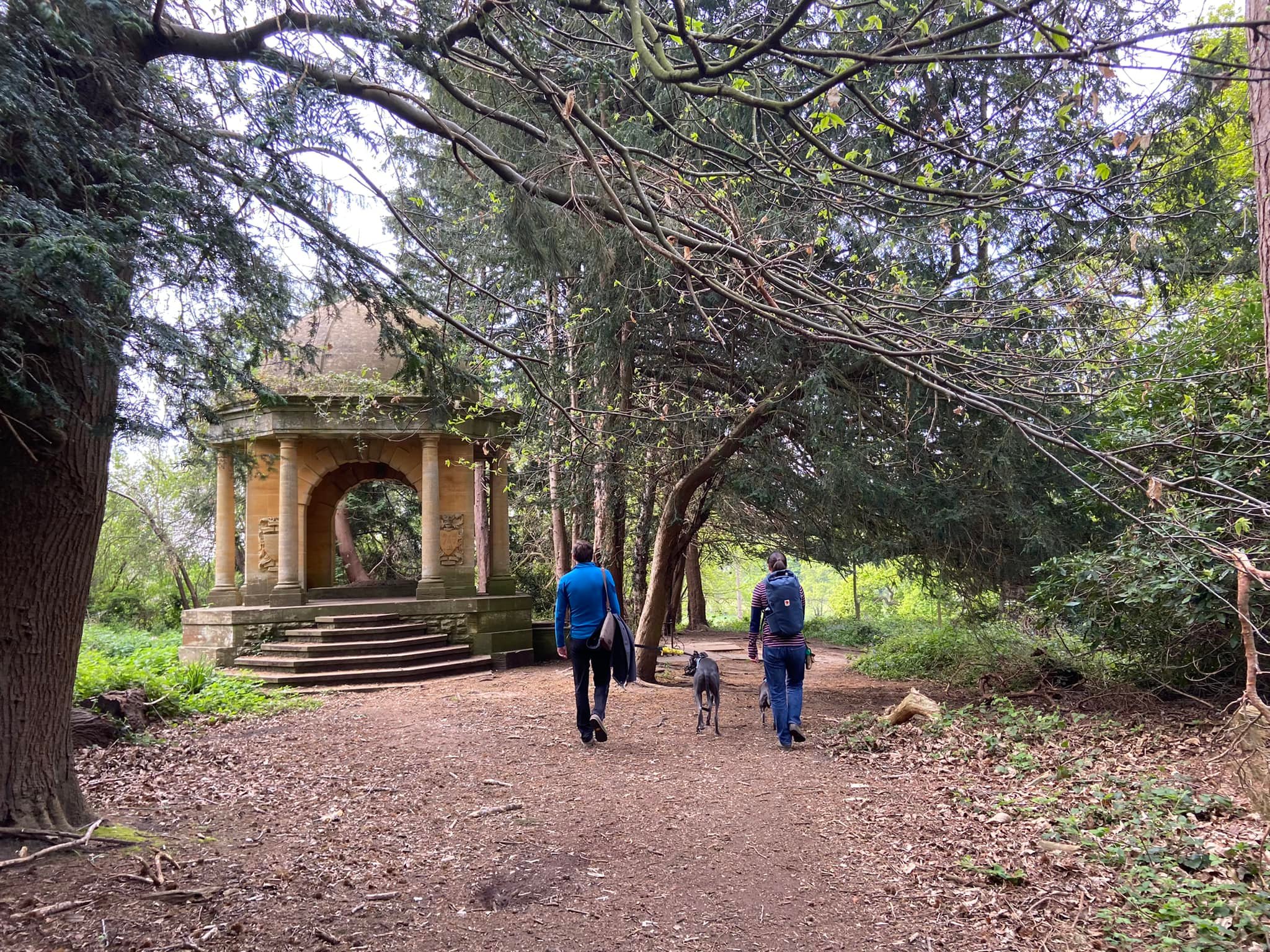
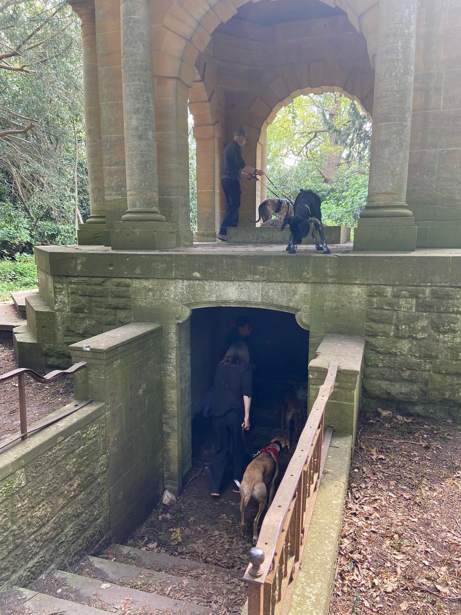
Ockham Common is also home to the Samuelson Mausoleum. Mausoleum means ‘Temple of Sleep’ and that’s euphemistic for a tomb. Built in 1919, it was commissioned by then-owner of nearby Hatchford Park, Sir Henry Samuelson, for his father Sir Bernhard Samuelson (1820 – 1905); his wife Caroline (1821 – 1886); and their daughter Florence (1857 – 1881). The design was inspired by Montacute House in Somerset (a stone’s throw from where my mum lives!), which Sir Henry remembered as a boy when his father rented it on occasions.
Sir Henry seemed to have the somewhat romantic notion that generations of the Samuelson family would be laid to rest in the mausoleum – but not he himself, apparently. In 1924 he and Lady Samuelson moved permanently to the Côte d’Azur, where he died in 1937. His desire for the mausoleum to be kept in good condition was met by the local church but in 1960, a member of the public was crossing the common when they spotted some men with a winch and lorry removing the bronze tomb. The police were called but by the time they arrived both the men and the tomb were long gone. In a stroke of luck, the thieves were stopped by local police because of a faulty taillight on their truck and the tomb was replaced. But it was later stolen again and has never been recovered.
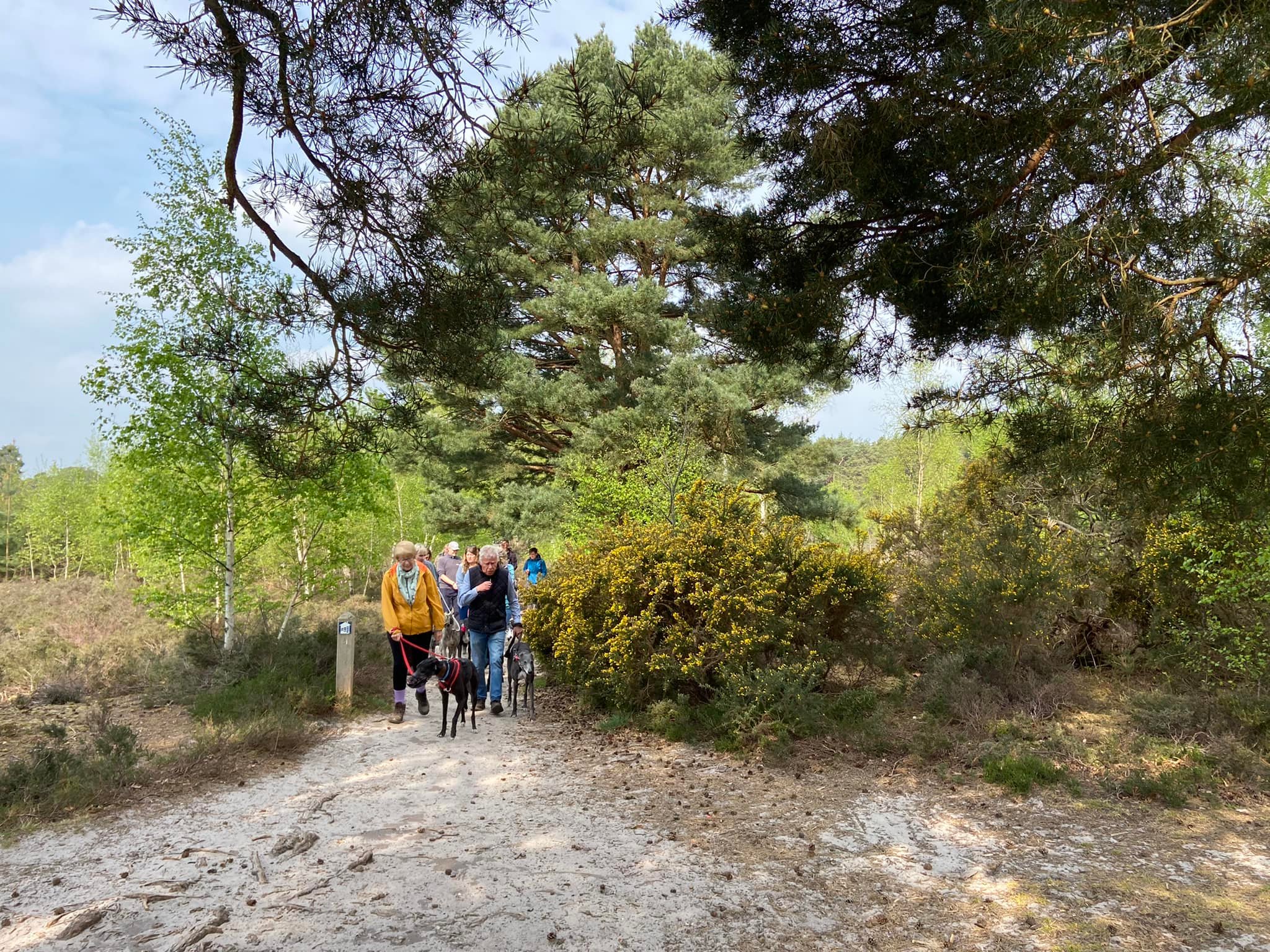
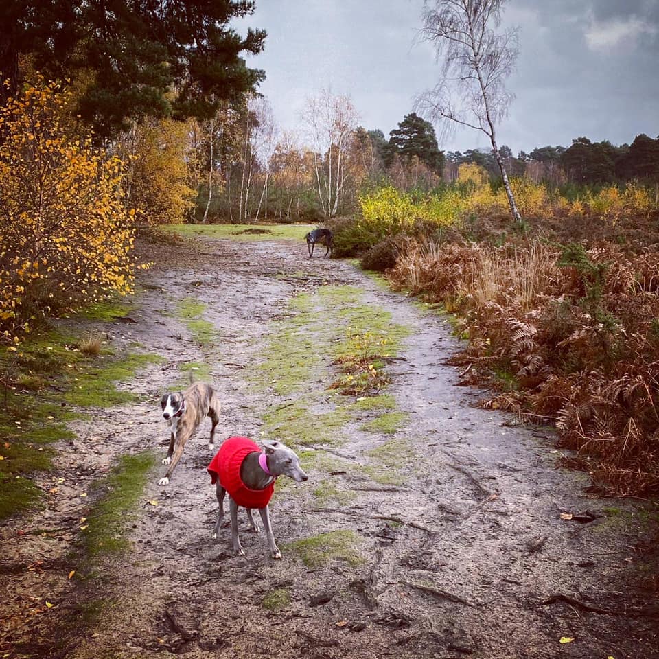
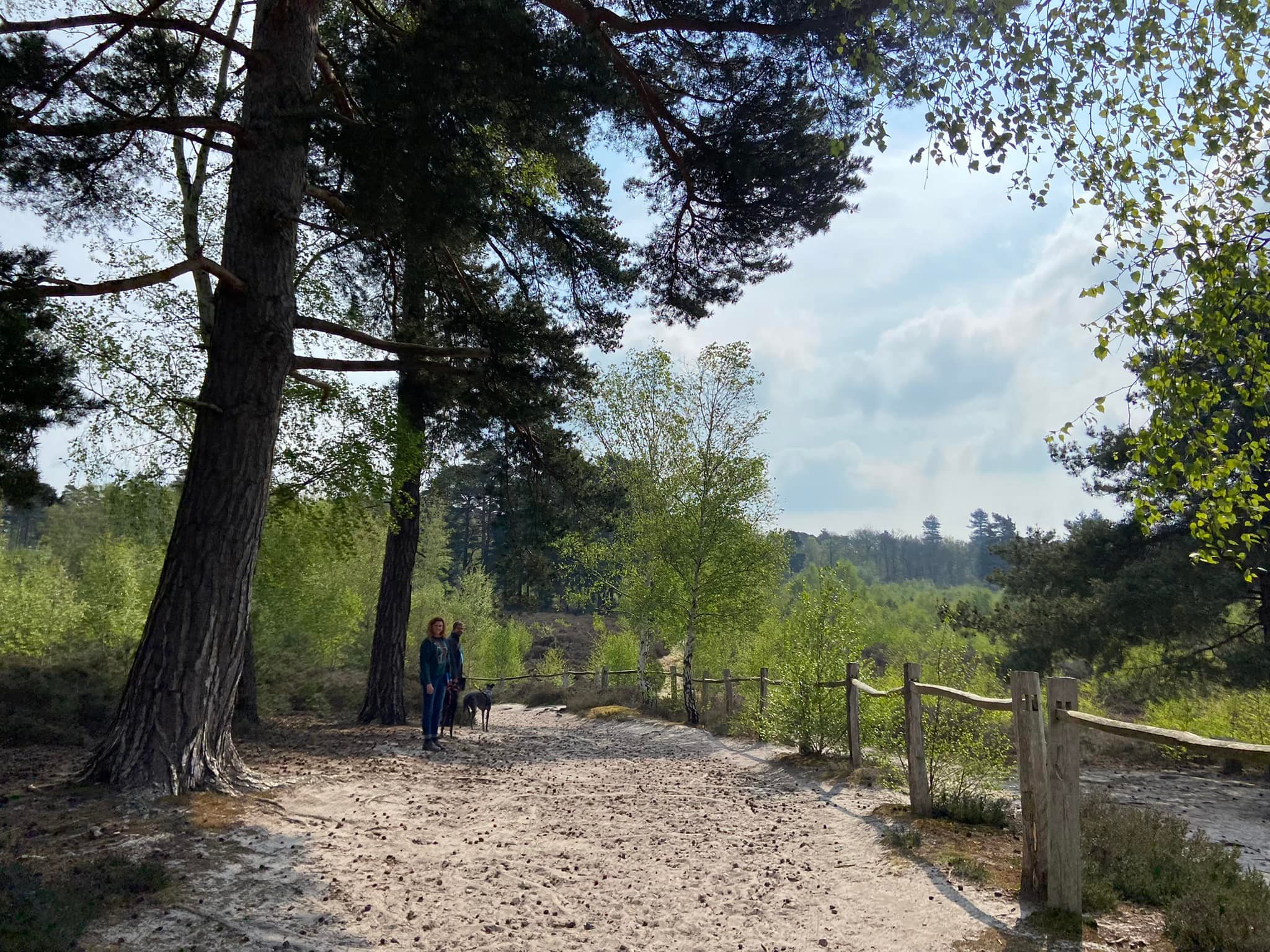
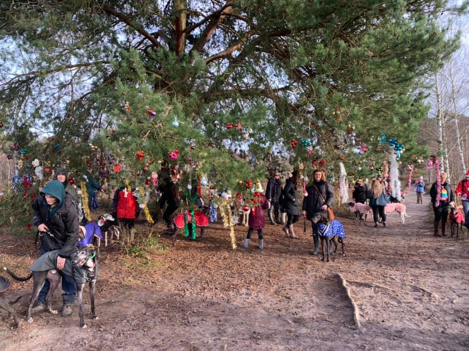
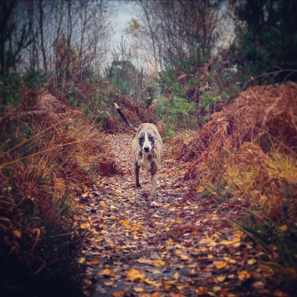
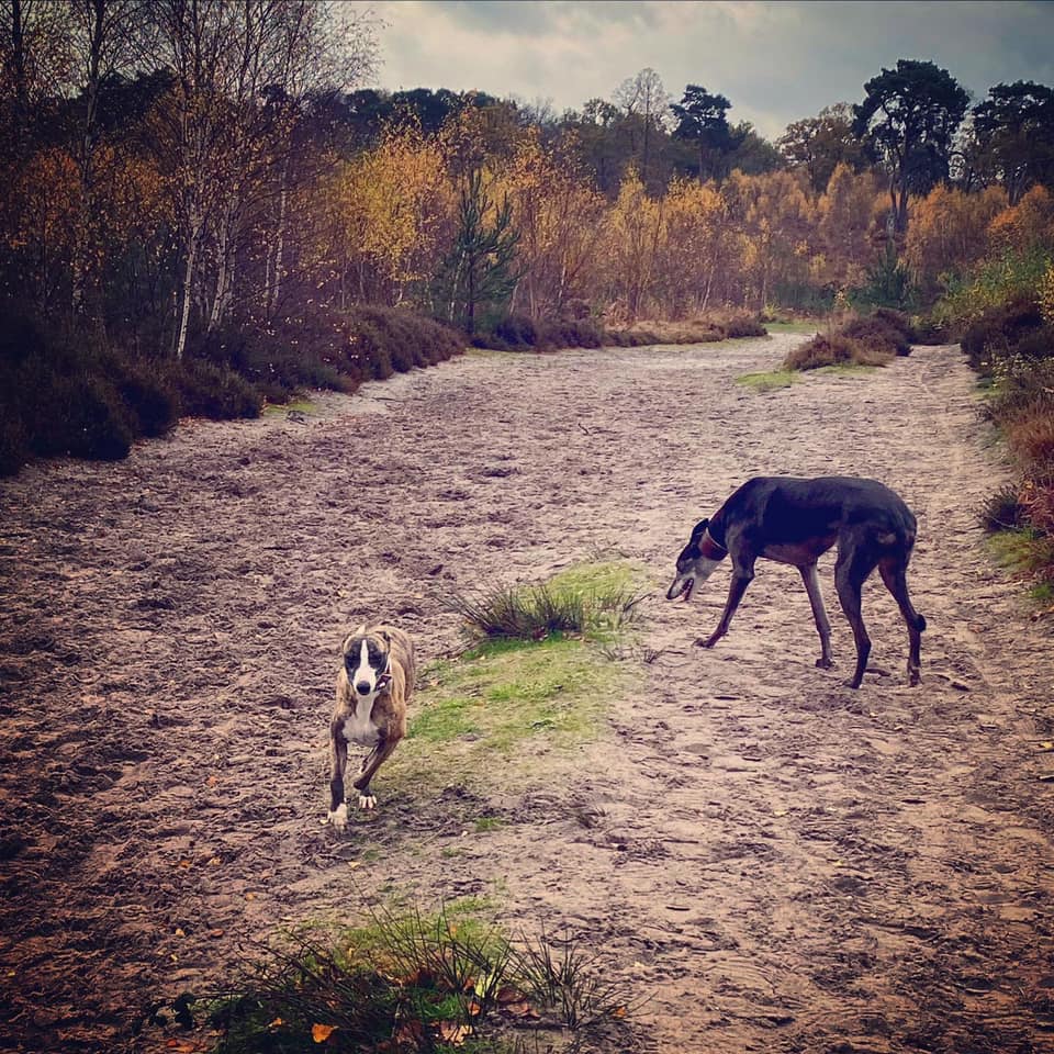
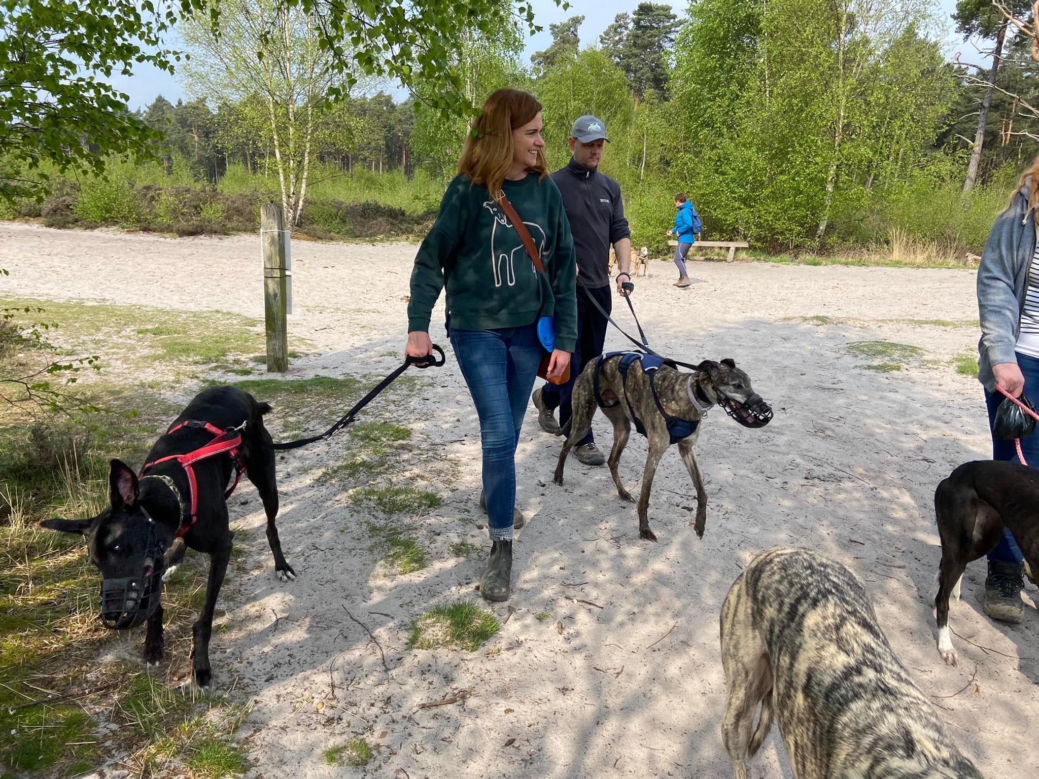
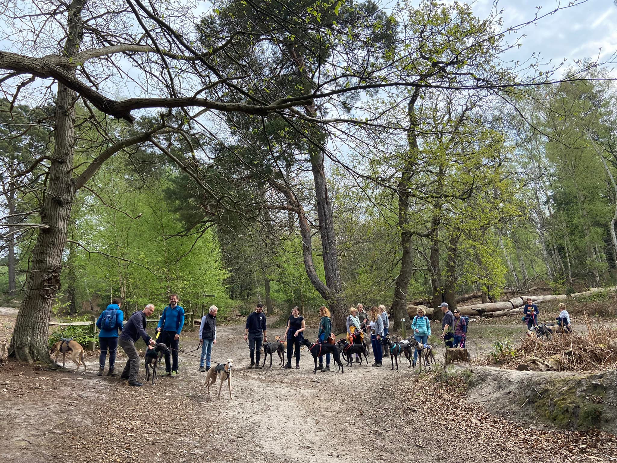
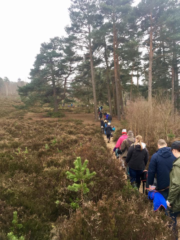
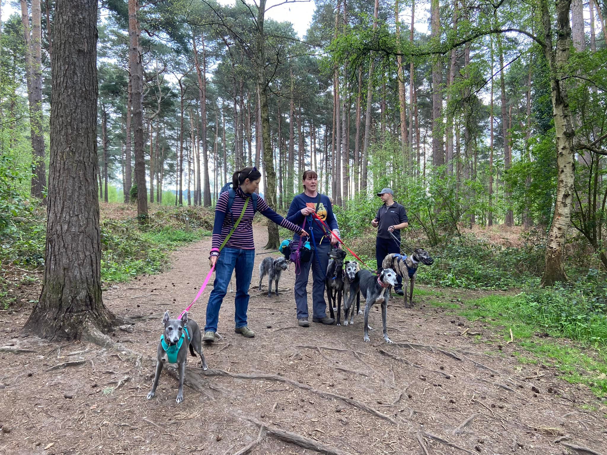
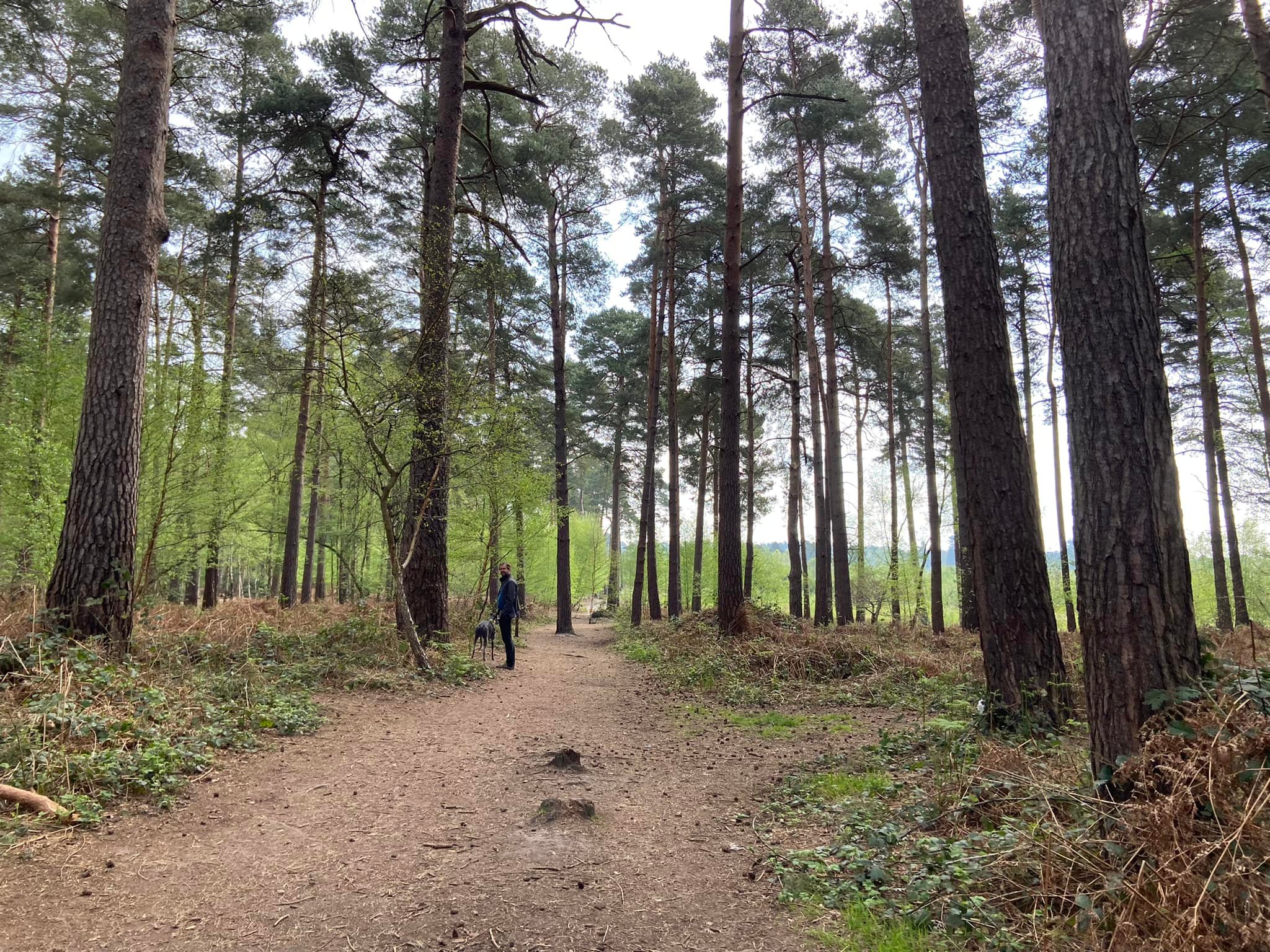
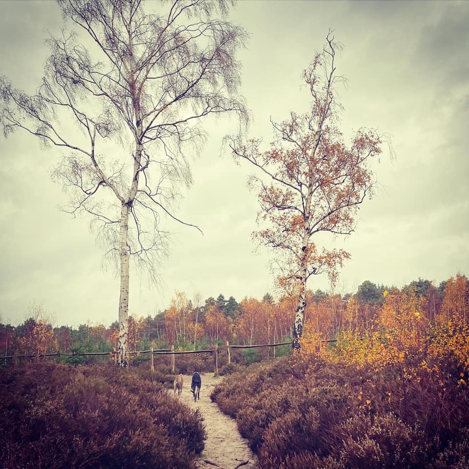
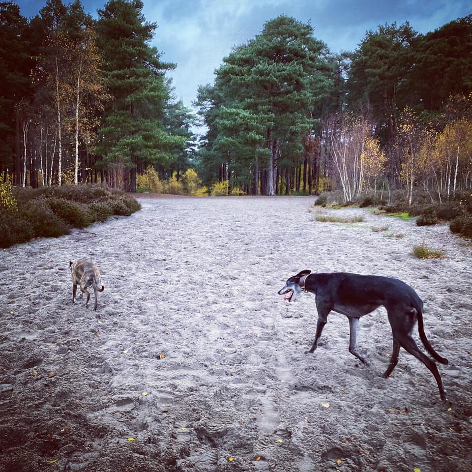
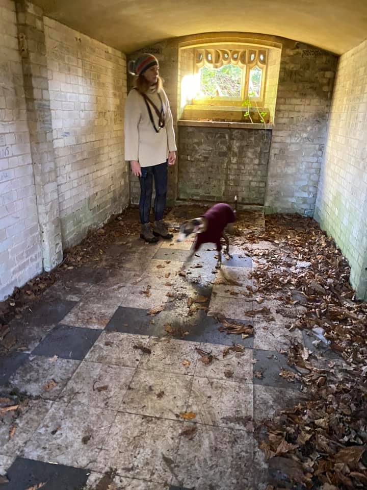
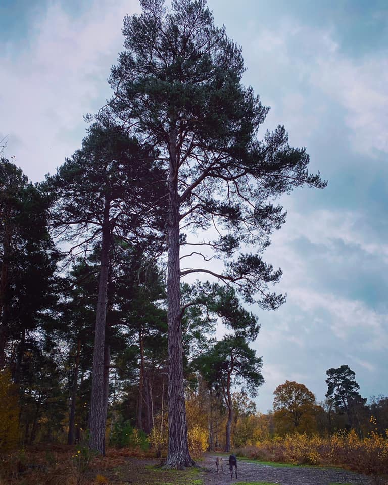
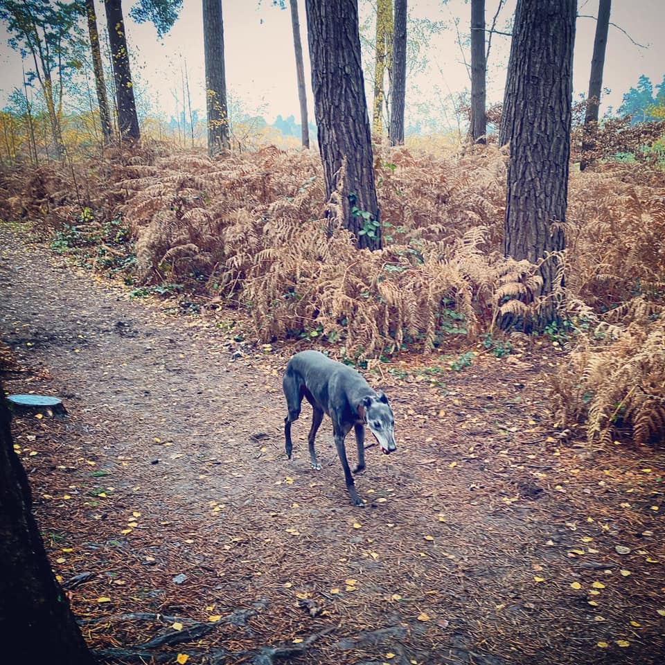
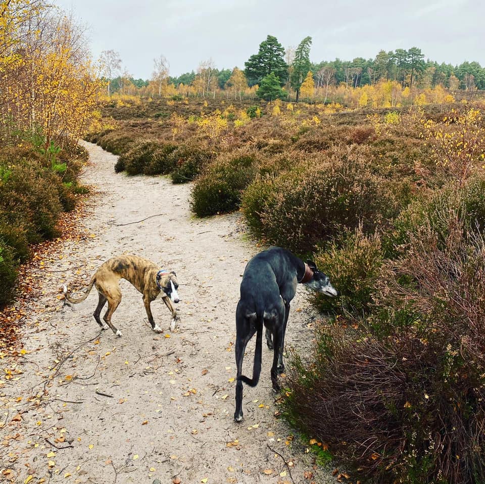
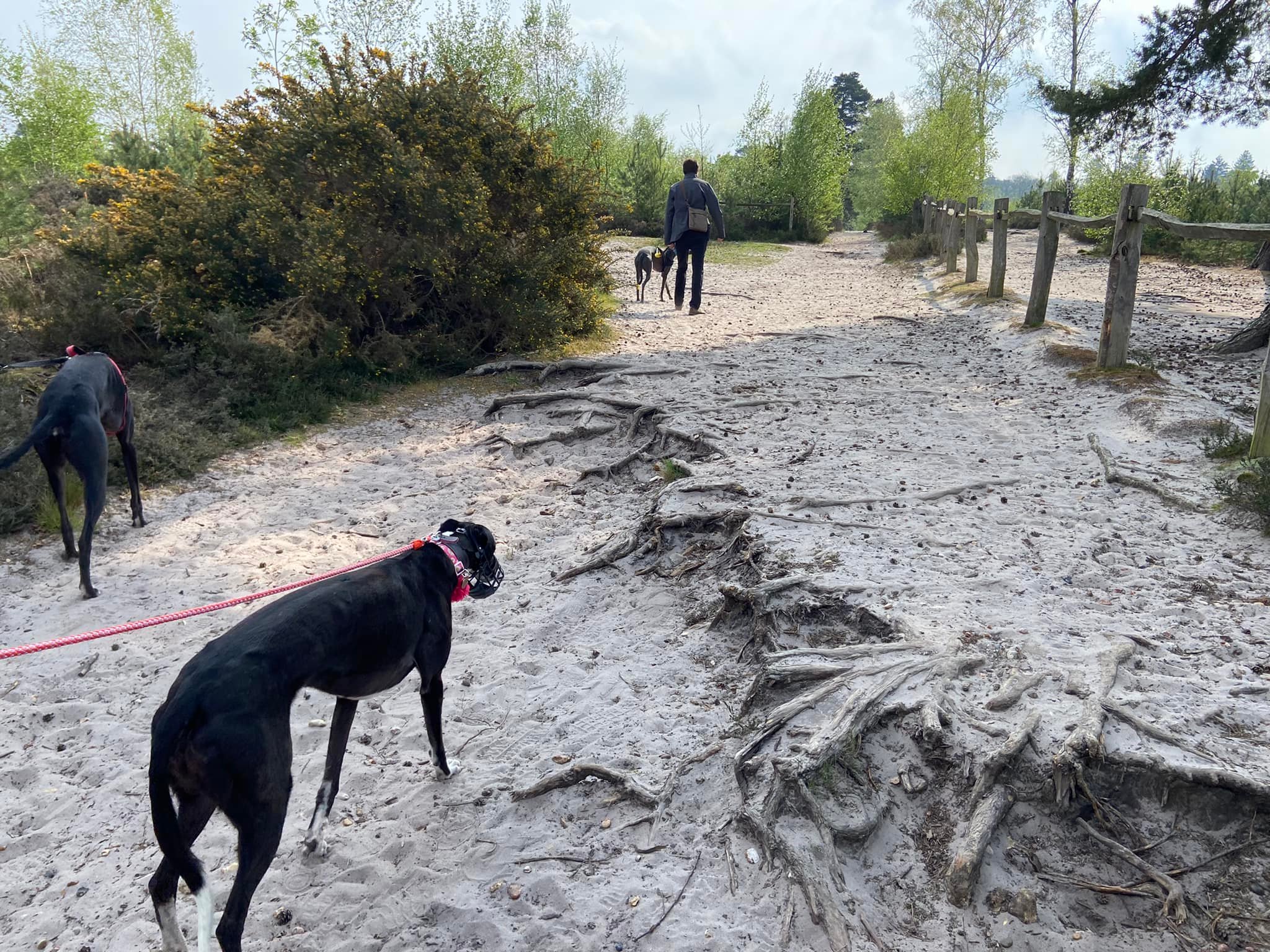
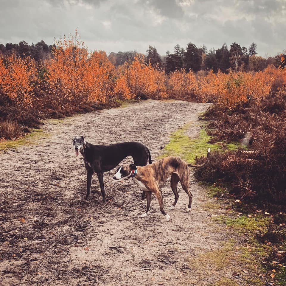
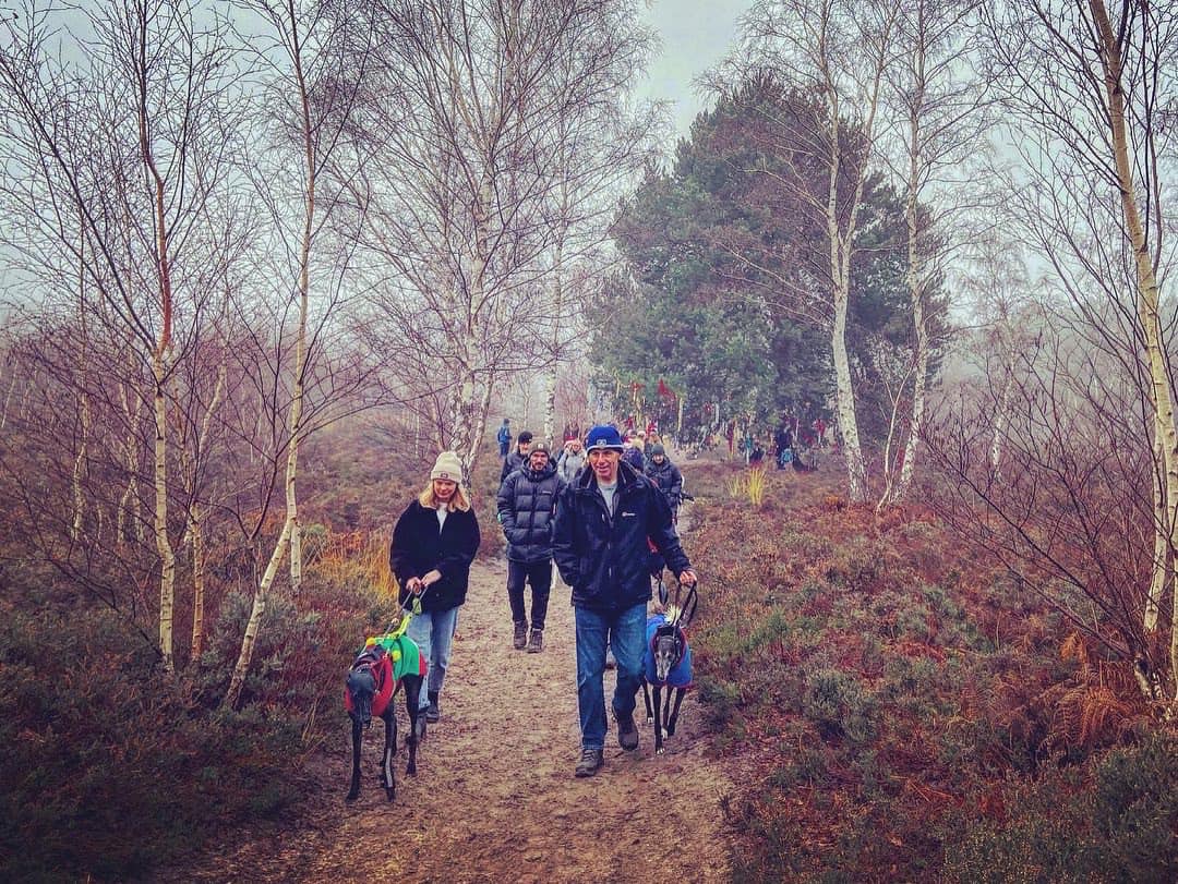
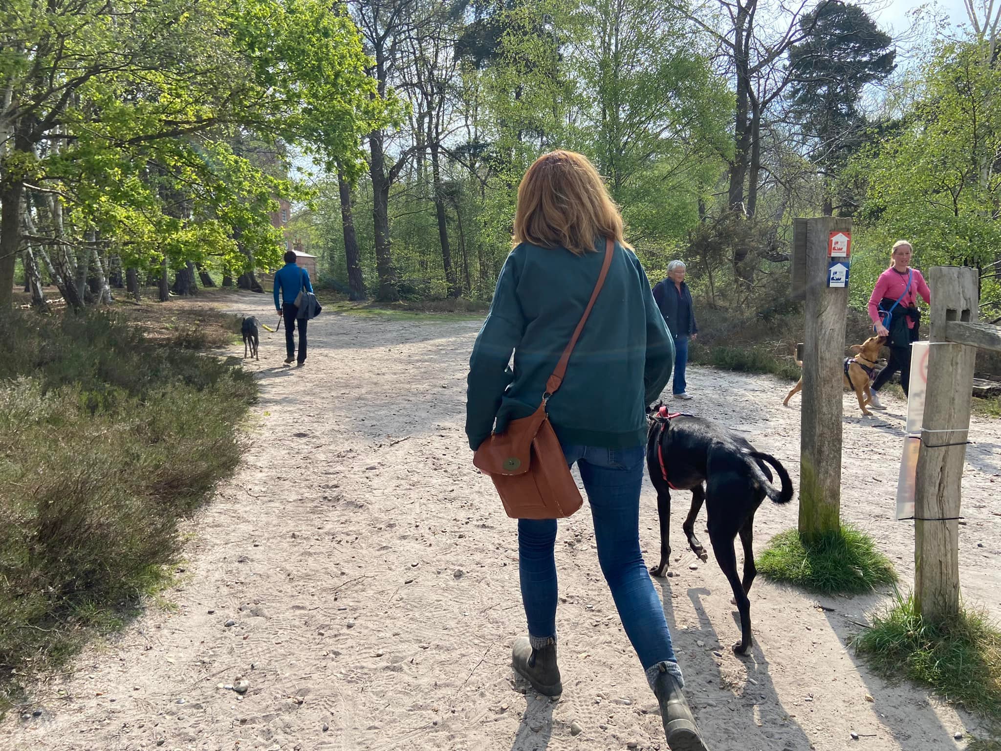
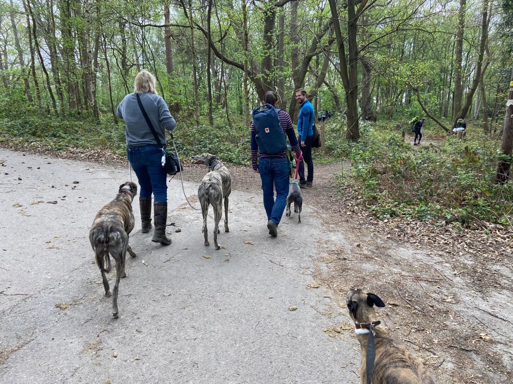
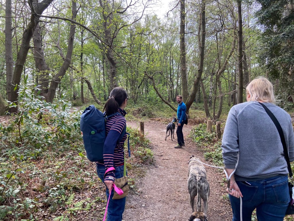
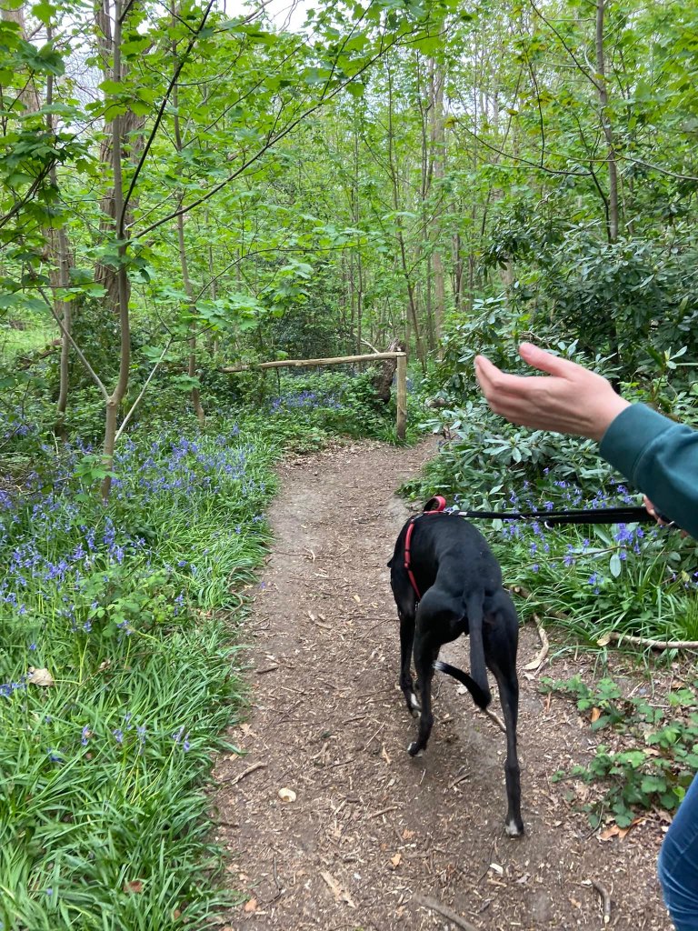
Gallery: What’s it like here?


Instagram reel showing here
Parking
Park in the main Boldermere car park.
Poo bins?
At the car park and at the picnic site opposite the Semaphore Tower.
Self-guided walk
Here is a Footpath app route from the Boldermere car park by the A3. Also on AllTrails. First it goes through the woods near the A3 and M25 roads, then heads in to the sandy heath. You’ll pass the semaphore tower, before heading through the woods to the Samuelson Mausoleum, then through the woods and across the heath back to the car park.
Length: approximately 2.3 miles/3.8 km
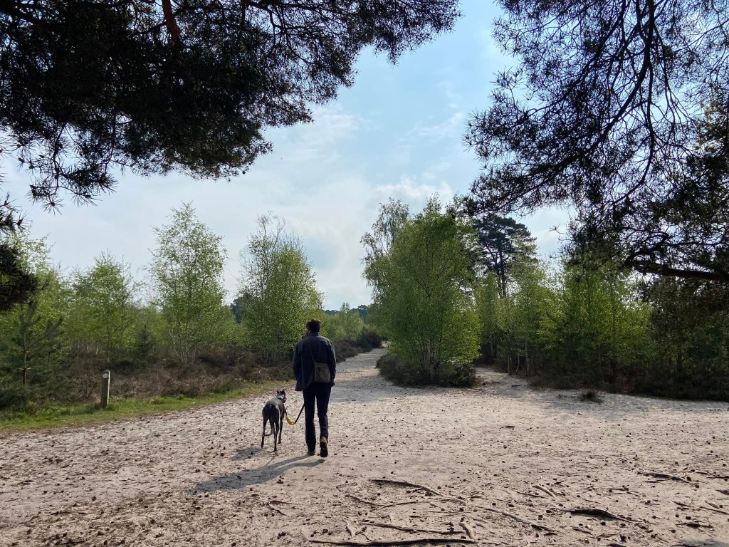
Terrain: Mainly on sandy footpaths but the paths through the wooded areas are mud underfoot and some areas can be muddy in winter.
Stiles/kissing gates? No stiles, no kissing gates
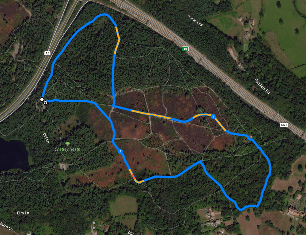
Facing Ockham Bites, you’ll see that there is a vehicle barrier immediately to the right of the cafe building. Behind it, there are two paths heading away from the car park. Take the path to the right. You’ll be walking parallel with the A3, which is through the trees to the left.
Go straight over at the cross paths (the way to the left goes to a footbridge over the A3 road). Stay on the main path, ignoring any side paths, and, after some way, it’ll will curve around to the right and bring you to a fork. Take the path bearing to the right. Walk through the woods, again ignoring any paths off to either side.
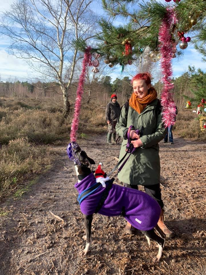
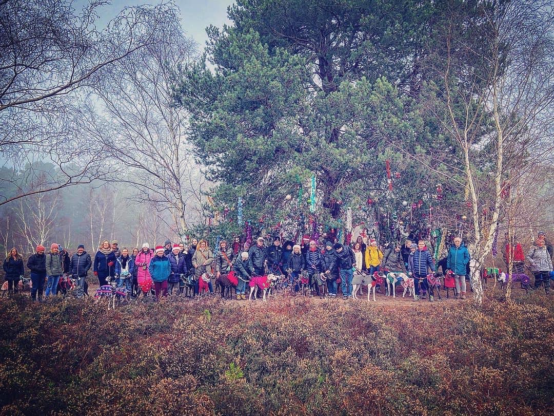
The path gets sandier underfoot and emerges from the trees at a big cross paths. Continue straight to the next big cross paths and turn left here. Shortly after this, you’ll pass a massive tree on the left side of the path – in December, this is dressed with tinsel and other Christmas decorations.
At the next big sandy cross paths where there is a bench to the right, the way ahead is actually two paths with scrub and a wooden fence between them. Take the one on the left.
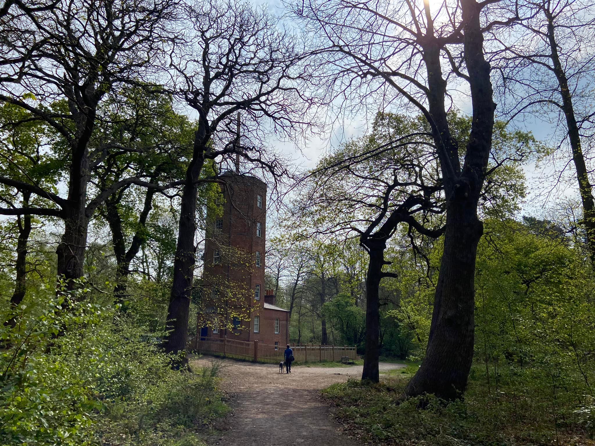
Go over the tree roots and then ignore a path off to the left and follow the main path as it descends round to the left and the fence on the right ends. The path then bends to the right and goes up slope. Presently the fence on the right reappears. At the end of fence, continue on to the Semaphore Tower that you can see ahead.

The path runs along the front of the tower with a picnic area to your right (where there is also a bin and an information board about the tower) and becomes a tarmac drive that follows the line of the fence surrounding the tower. Keep going. When the tarmac drive bends sharply to the left, don’t follow it round but continue straight ahead off the tarmac and onto the mud path that comes off on the corner and goes through brambles/vegetation.
After a very short way, the path passes between a couple of posts and forks. Take the left one of the two paths.
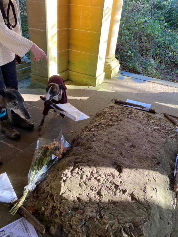
It goes through the trees and down to the Samuelson Mausoleum. At the time of writing this post (April 2022), the February storms had brought a couple of trees down partway along this path, but, these may cleared by Surrey Wildlife Trust at some point. Even if they don’t, none of the dogs with the Surrey Sighthound Walking Group had any trouble getting over them as the photos here show.


The Samuelson Mausoleum is an ornate tomb. It has a sort of sunken chapel in the centre, marked out with a black cross on the tiled floor. Originally the ceiling in here was painted dark blue with gold stars and the coffins were set in niches behind walls at either side. These walls were then covered with carved wooden panels. As you can see, these details are no more and all that remains is the cross on the floor and small vent holes around the outside of the building to circulate air into the mausoleum to aid decomposition. Nice.
When you’re done looking at the mausoleum, continue on the little path that descends away from it with fields over to your left. Follow it through the woods and to the right of a wooden barrier next to the path, then bear to the right, ignoring the two other smaller paths ahead and to the left.
Shortly after, you get to a fork, take the path on the left. At the end of it, turn right on the path that joins from the left. At the cross paths where there is a raggedy post to the right, go straight over.
At the next junction where there is a wooden fence ahead and a finger post, turn left onto the bridleway in the direction of Old Lane (as noted on the finger post arrow pointing left).
Follow the way through the trees and ignore a path to the right, which heads away opposite a couple of fallen tree trunks. You’ll come down to another bridleway, where there is a bench on the left. Turn right to go through the small trees and shrubs of the heath.
Ignore two paths off to the left, then continue straight at the cross paths where the smaller path to the left goes towards woods and the one to the right is wide and quite grassy.
After a short way, there’s a path off diagonally left. This cuts off the corner ahead – take it down to the next junction of paths and turn left into the woods. Follow this path back to the car park.


Leave a comment