Page contents
About
Gallery
Parking
Poo bins?
Self-guided walk
About
Elstead is an attractive rural village within the Surrey Hills Area of Outstanding Natural Beauty. Its exact origins are obscure but the first reference to it in public records is the 1128 foundation charter for Waverley Abbey, in which it was called ‘Helestede’. Those olde English types and their peculiar spellings, eh? The village’s initial growth has been partly attributed to the building of Elstead Bridge over the River Wey – on the outskirts of the village, just before the Mill – which dates back to around 1300. It has Grade I listed status and is regarded as a well preserved example of a medieval multi-span bridge, boasting seven semi-circular arches (bridge pictures here if you’re interested).
The aforementioned Mill, a Grade II listed building, was originally built in the 1500s. It burned down in 1647 while occupied by Oliver Cromwell’s Roundheads (not sure if they were to blame but their occupancy at the time of the fire has popped up a few times in my research so it suggests that is significant – or that there’s not much else to say about it and this is one of the few facts anybody has). A new building was constructed the following year. A Mr John Baker (but not the John Baker that I shared a house with at university) has claimed that, for various reasons, the present mill cannot be the one that was built after the fire and this current one probably dates from around 1800. Regardless, there was an operational mill here until the late 18th century, first grinding corn and, later, moving into haberdashery. Over 100 people worked on-site and were called to work by the ringing of the bell in the bell tower. Today, it is a dog-friendly pub owned by Fullers, which boasts a large garden next to the river. Inside the main entrance, you can see the water wheel turning as the river runs under the building (photos here).
My favourite Elstead fact is that the village was particularly well known during the 18th and 19th centuries for the quality and quantity of the carrots grown here.
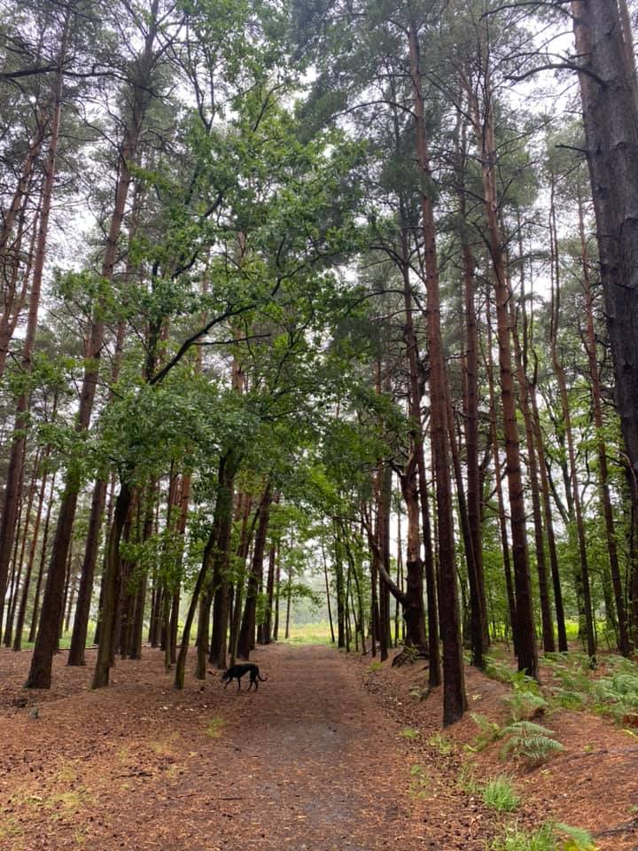
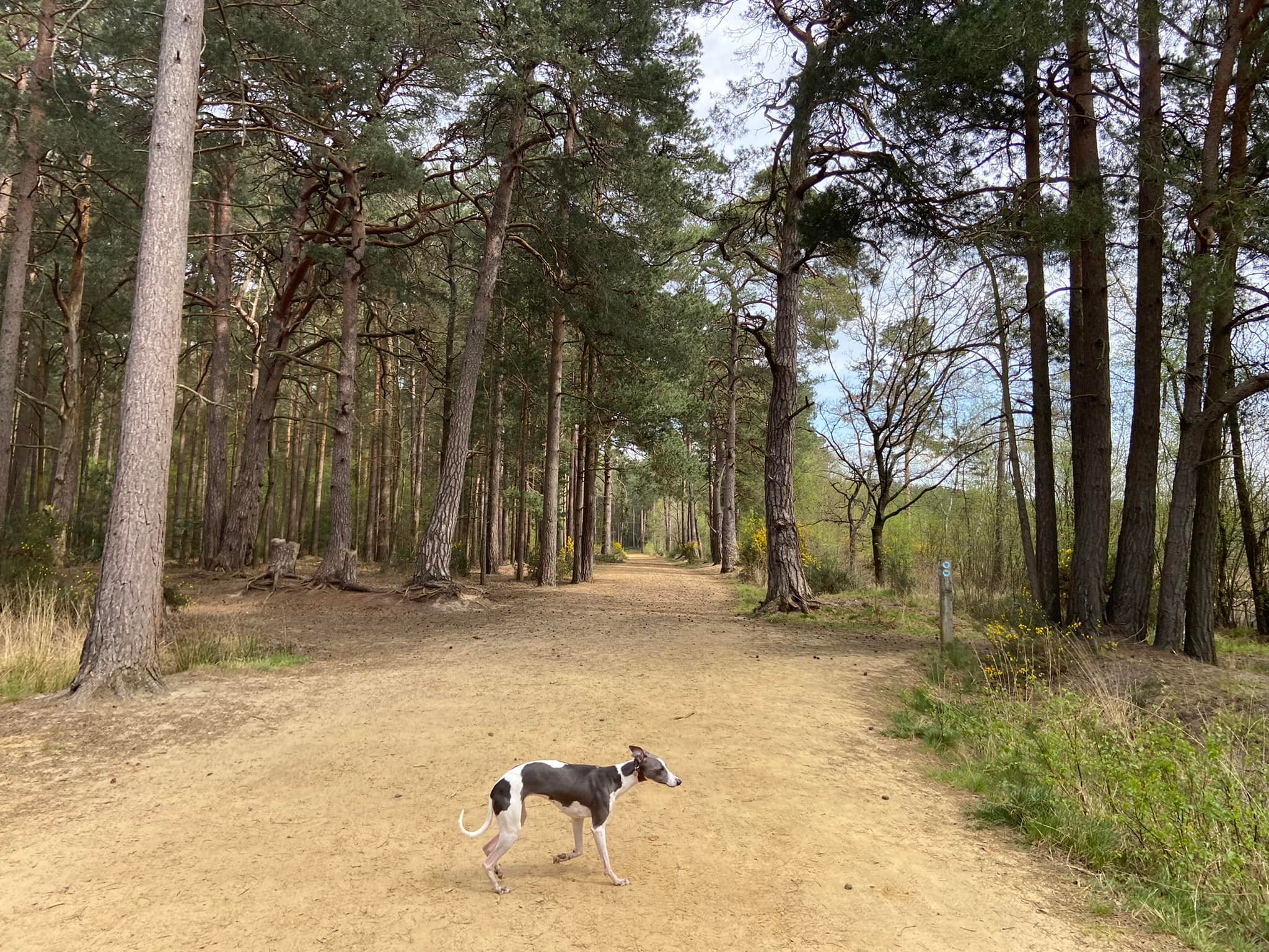
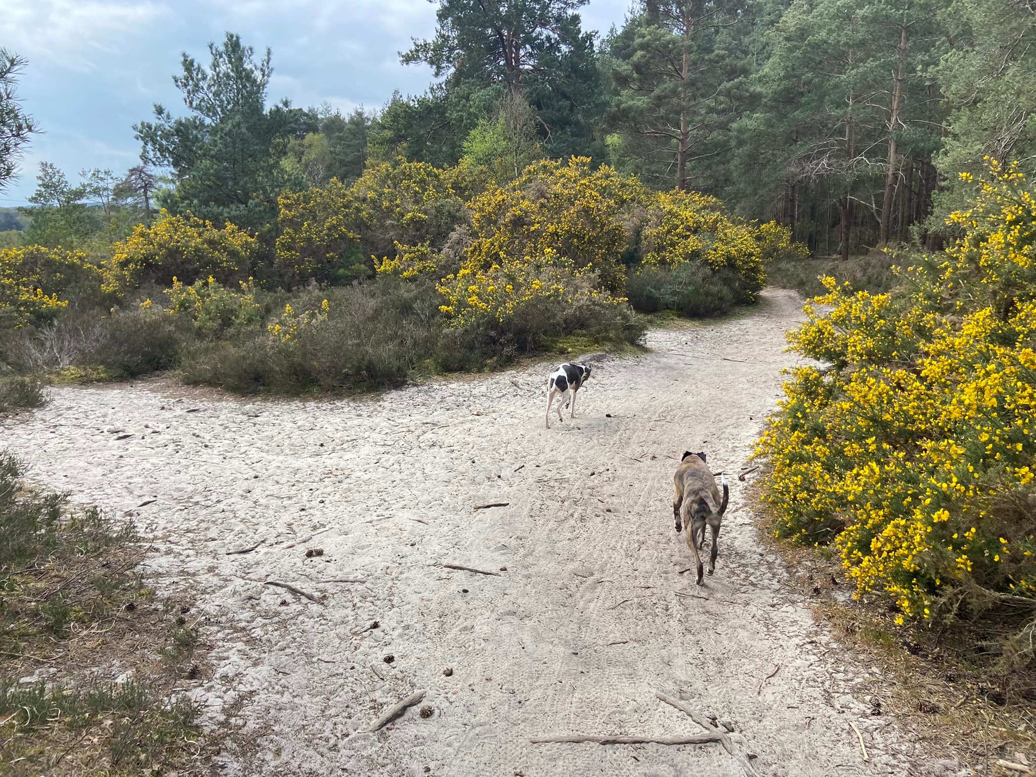
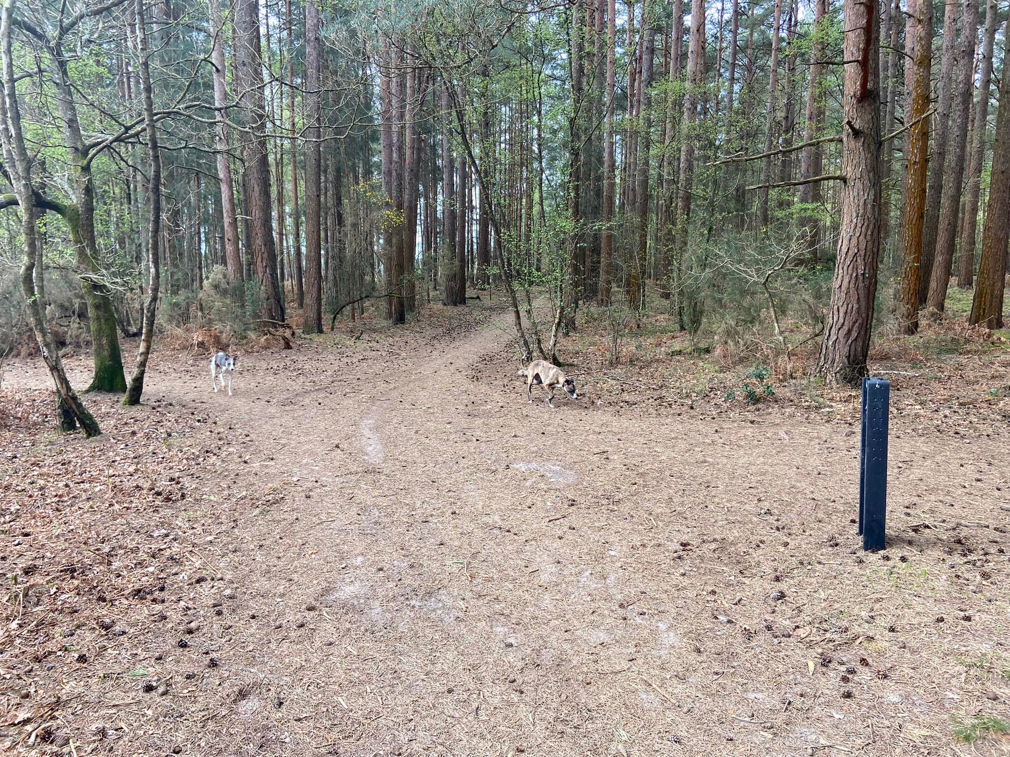
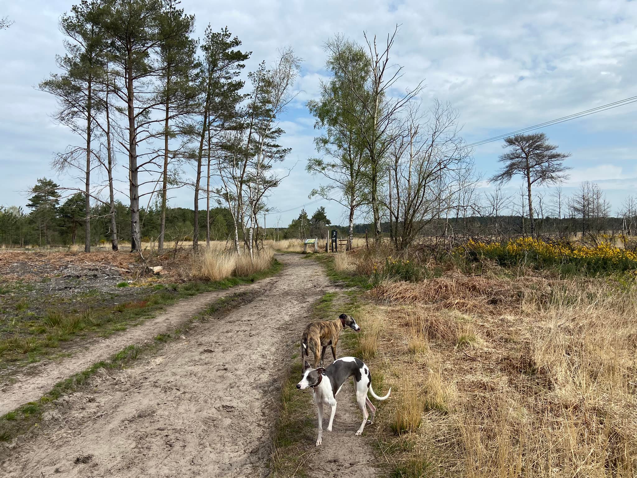
Anyway, enough Elstead village info as this page is actually concerned with Elstead Common, which is a Site of Special Scientific Interest, as are neighbouring Ockley and Royal commons (Walks with Rena post for the latter is here). All are managed by Surrey Wildlife Trust on behalf of the MOD. Elstead and Ockley commons are recognised as some of the finest remaining lowland heath in the south of England and are awash with heather, gorse and bracken. The woodlands on its perimeter are primarily made up of birch and Scots pine.
There is a rich diversity of wildlife to be found on Elstead Common, including nightjar, Dartford warbler, woodlark, sand lizard, smooth snake, natterjack toad, roe and muntjac deer and many species of butterfly. If you look up, the skies above Elstead Common are known for green woodpeckers, cuckoos, tawny owls and hobbies (a small variety of falcon).
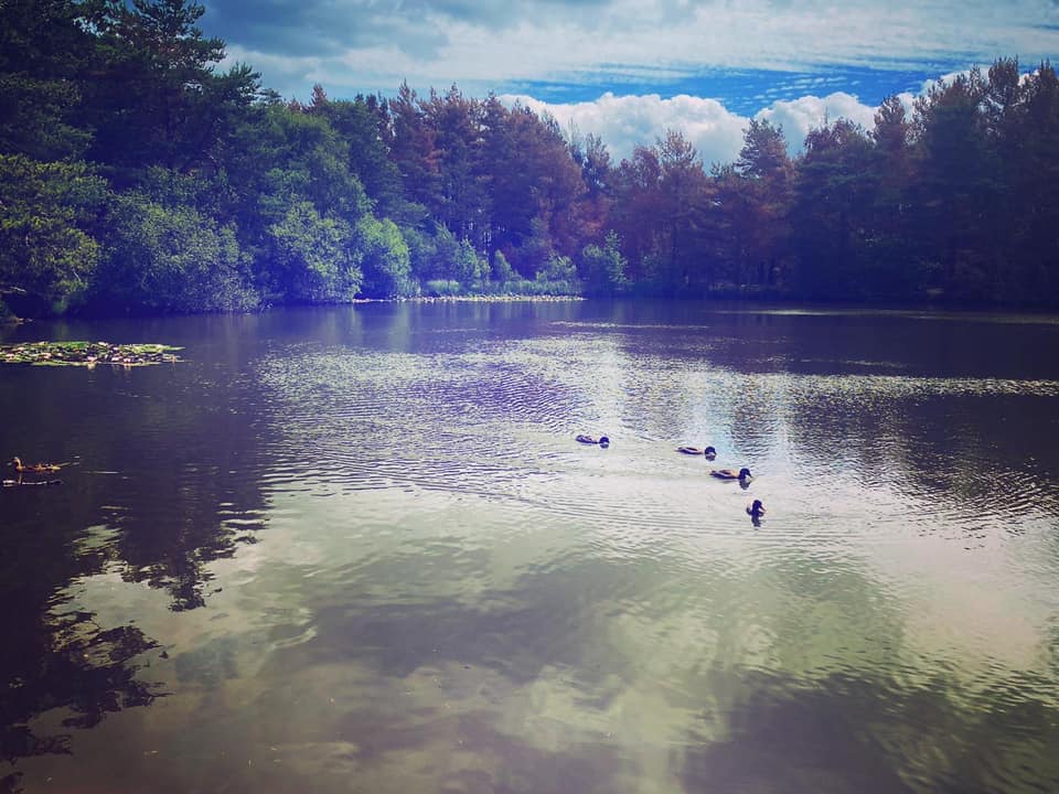
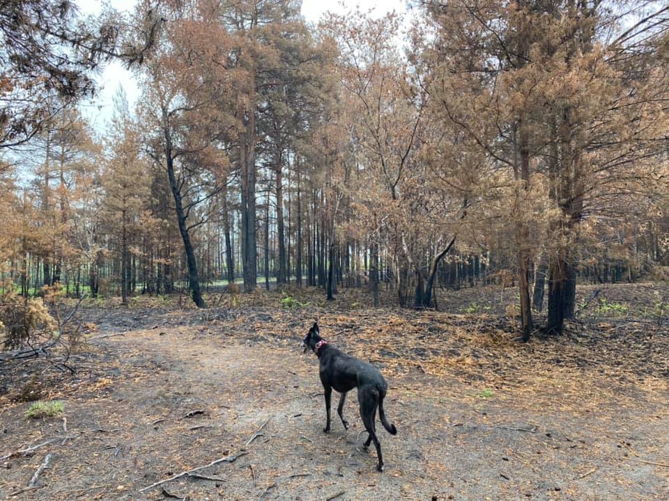
The walk below takes in a little of Thursley National Nature Reserve too, which boasts extensive areas of open dry heathland, peat bogs, pine and deciduous woodlands. 20 species of dragonflies and damselflies have been recorded at its ponds, including Moat Pond, next to which is a car park. A huge fire in May 2020 destroyed most of the boardwalks allowing visitors to walk through the marshy Pudmore Pond but these were replaced and opened to the public in January 2023.
Note – I have quite a few other walks for this area, including:
– Royal Common, Forked Pond and Thursley Nature Reserve fringes
– Hankley Common route via Kettlebury Hill that passes the pill box and reconstruction of the Atlantic Wall
– Thursley Common National Nature Reserve
– from the village of Thursley (to be added)
– Hankley Common – route following the Greensand Way through Hankley golf course and via Stockbridge Pond (to be added)
– Hankley Common – south side from Pitch Place
– Churt Common/The Flashes, Axe Pond and Stony Jump
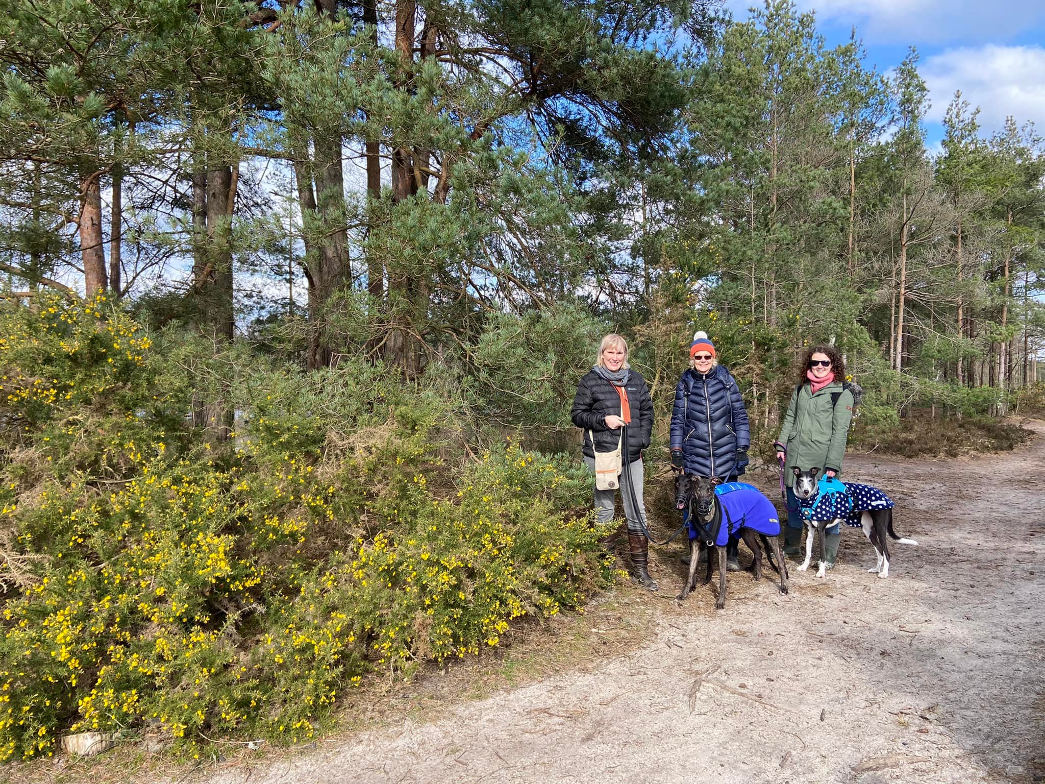
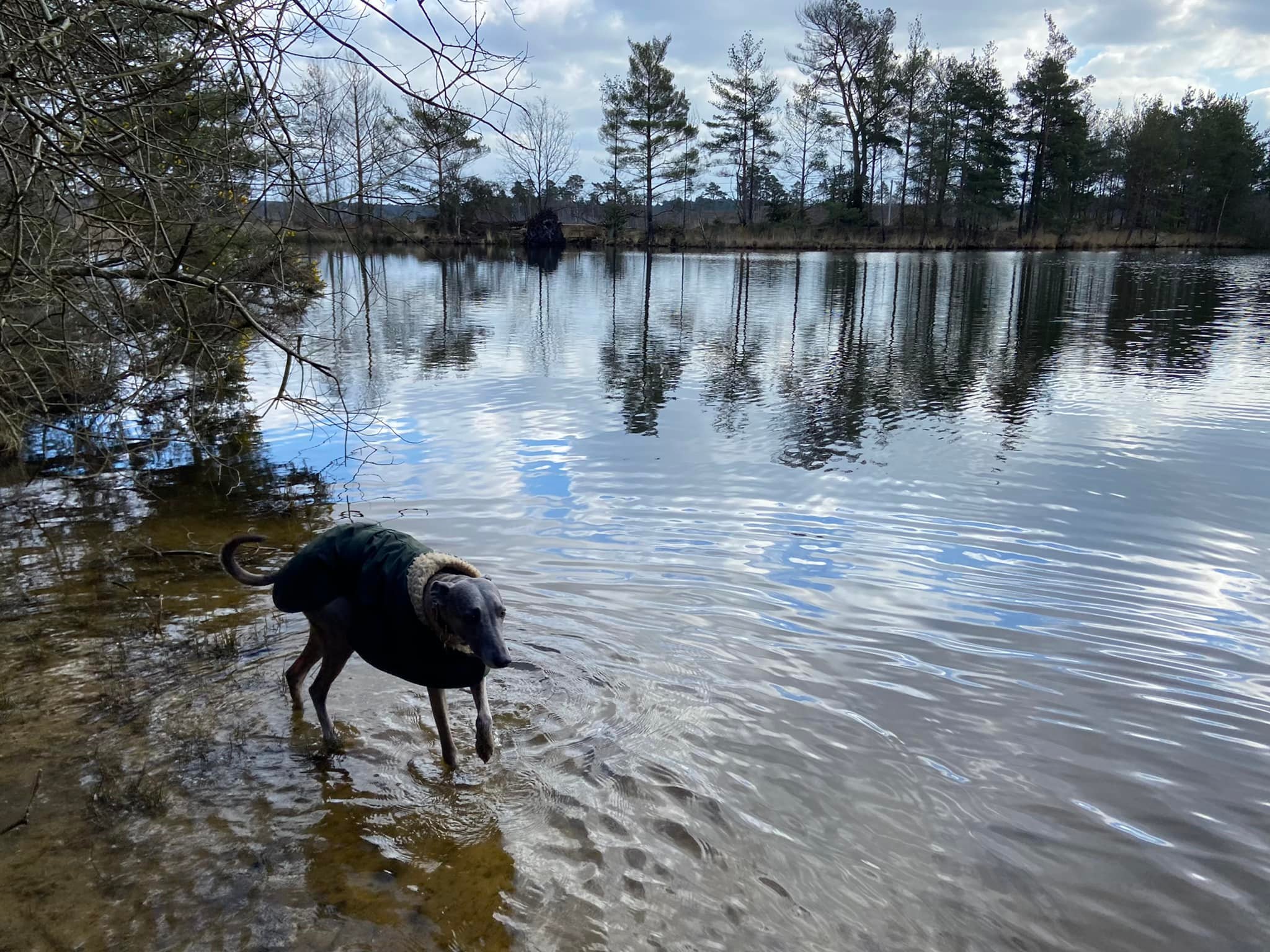
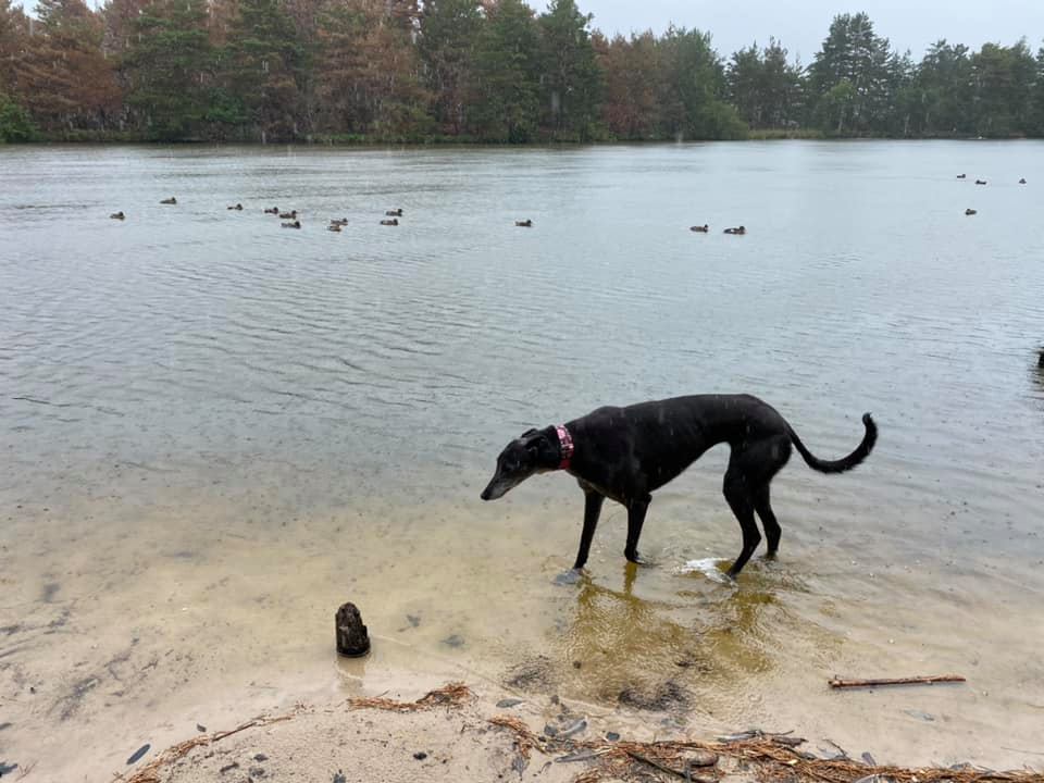
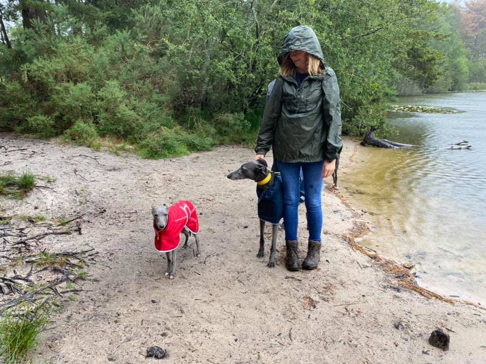
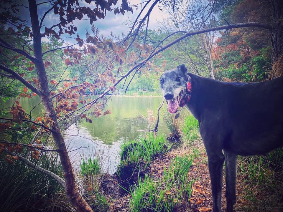
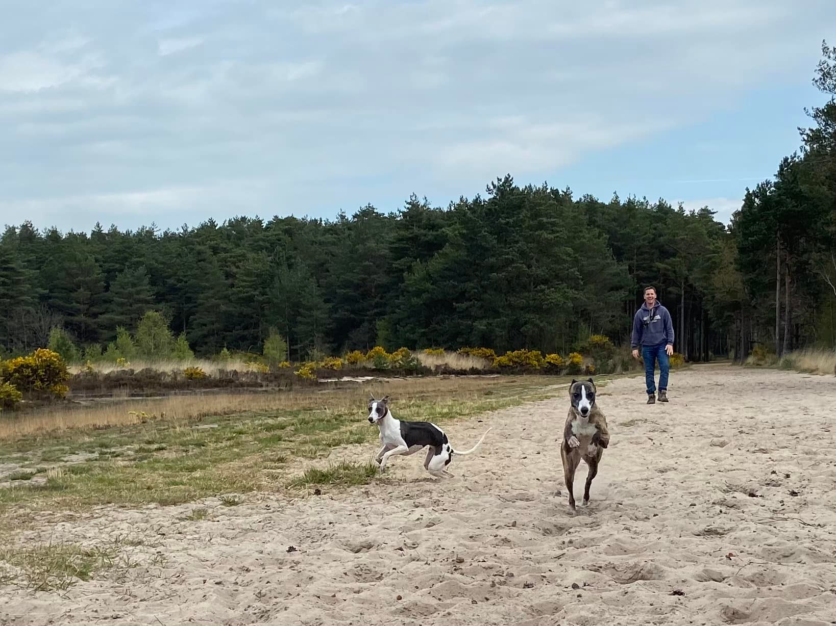
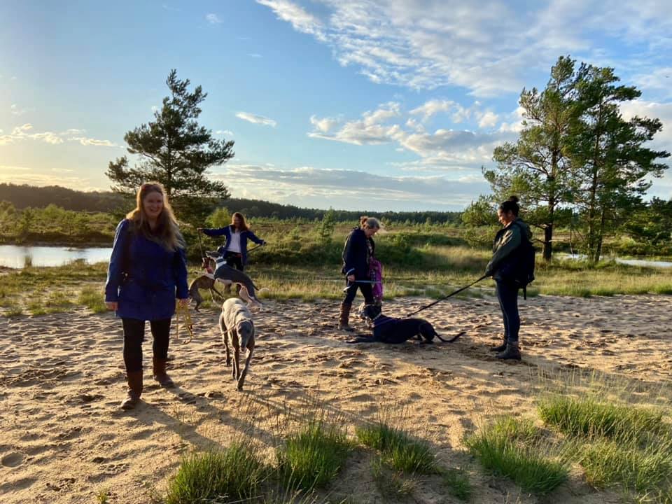
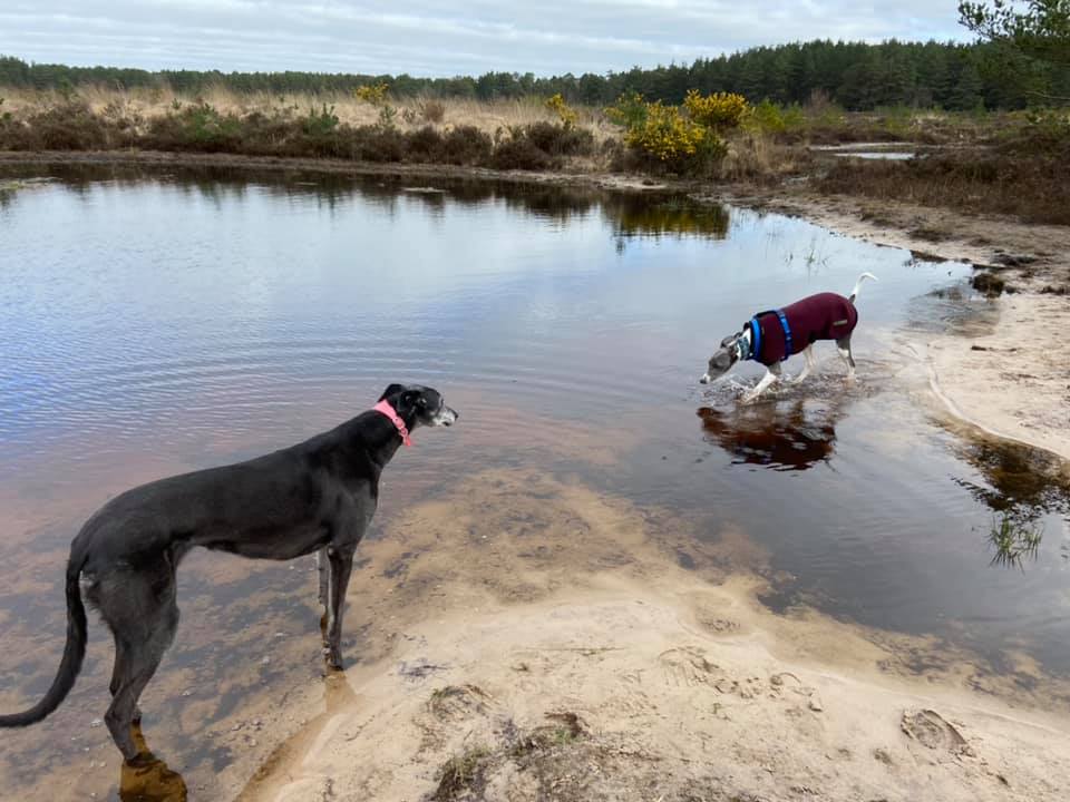
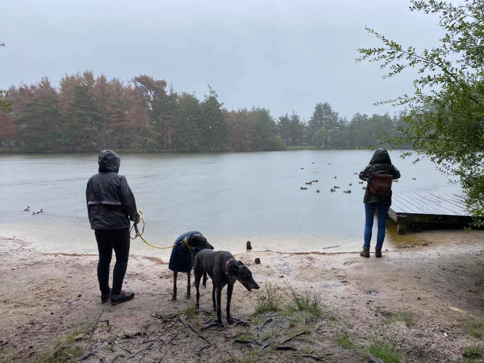
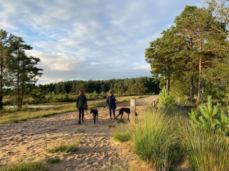
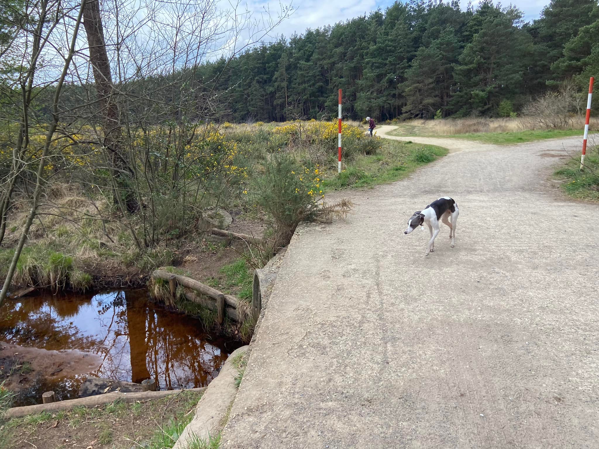
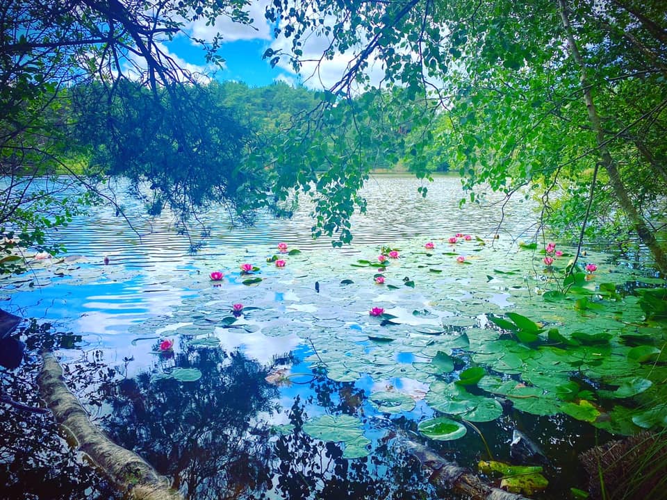
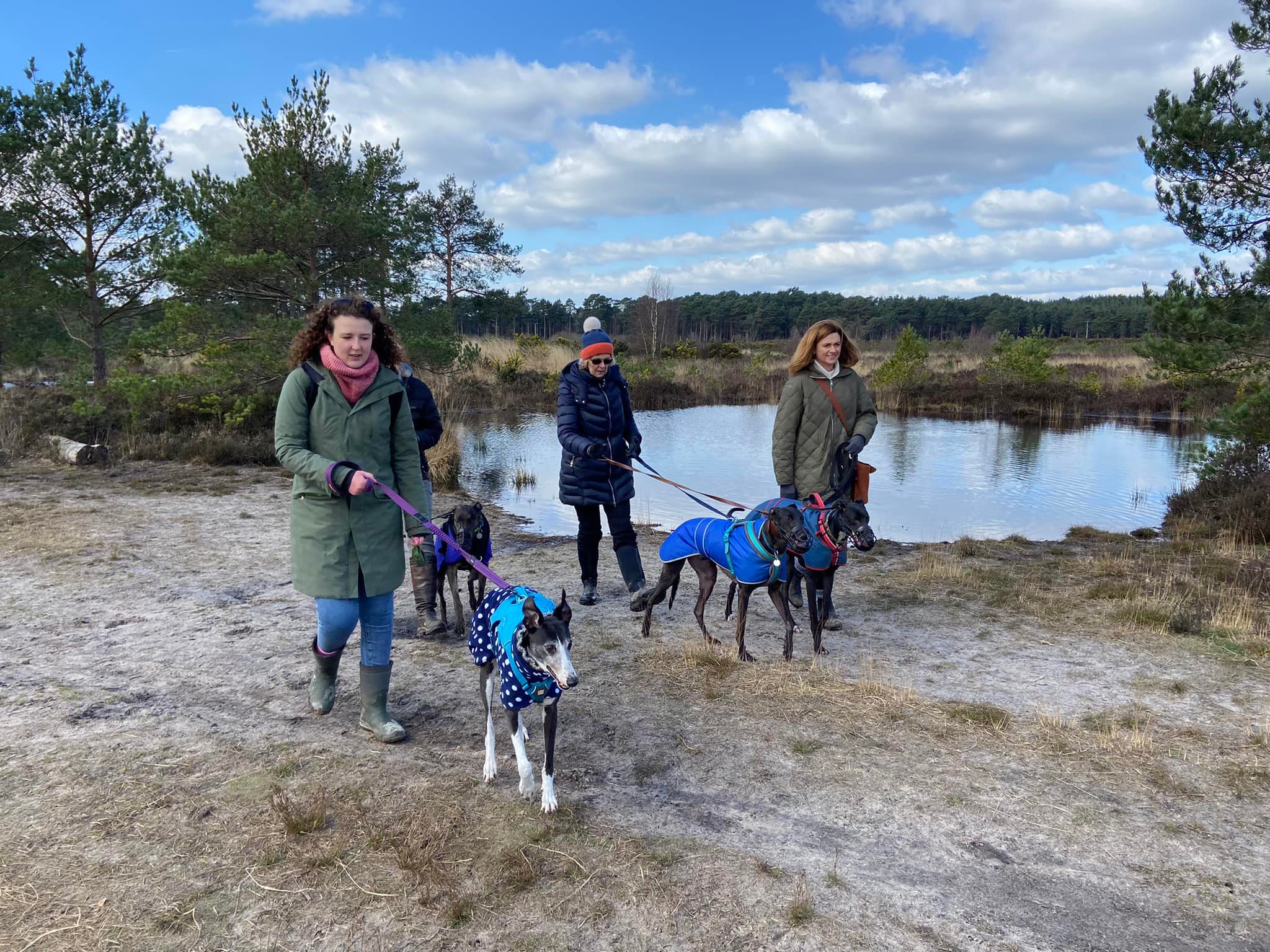
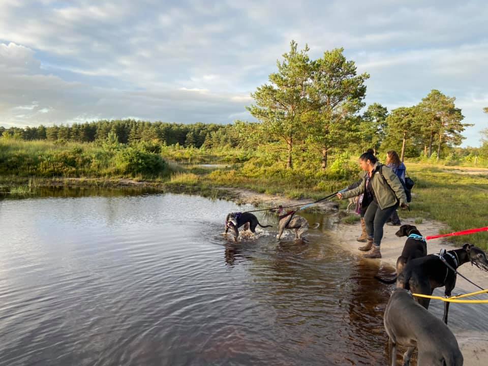
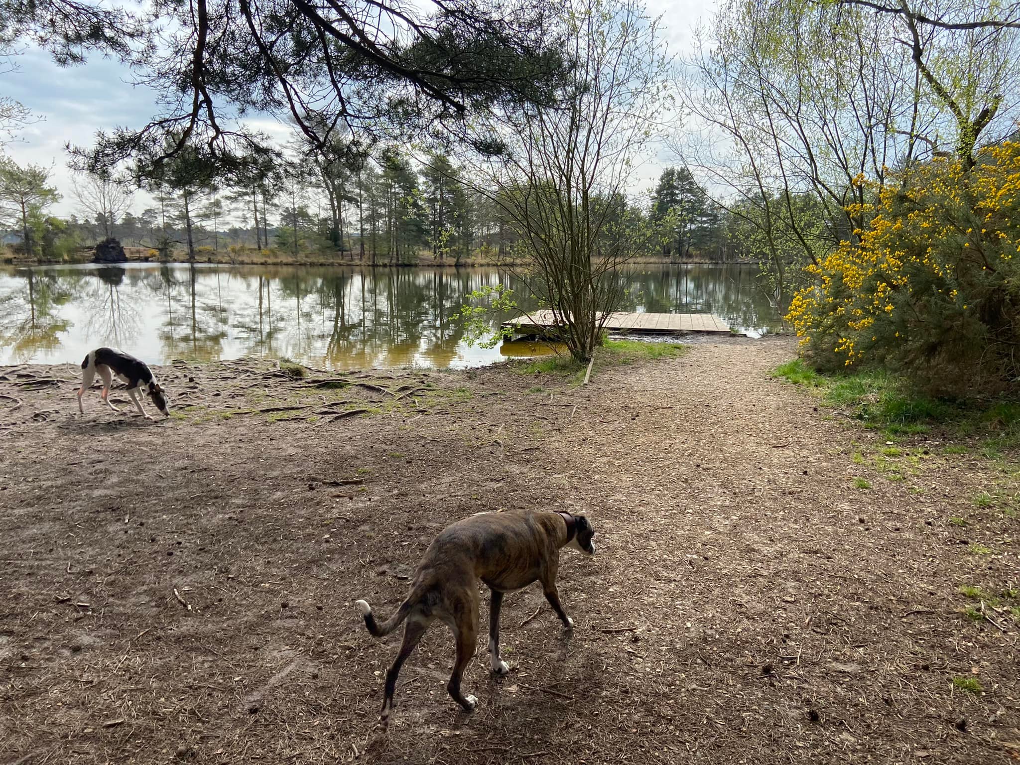
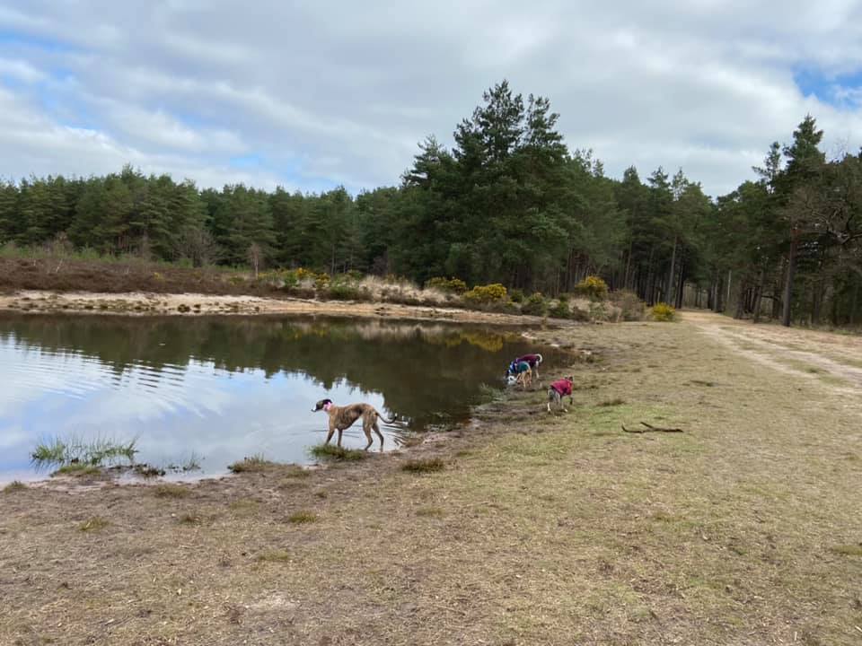
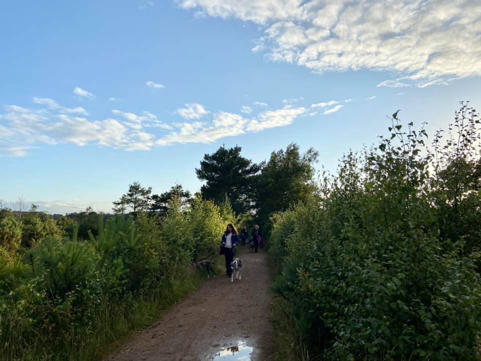
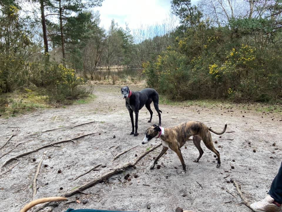
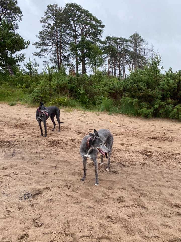
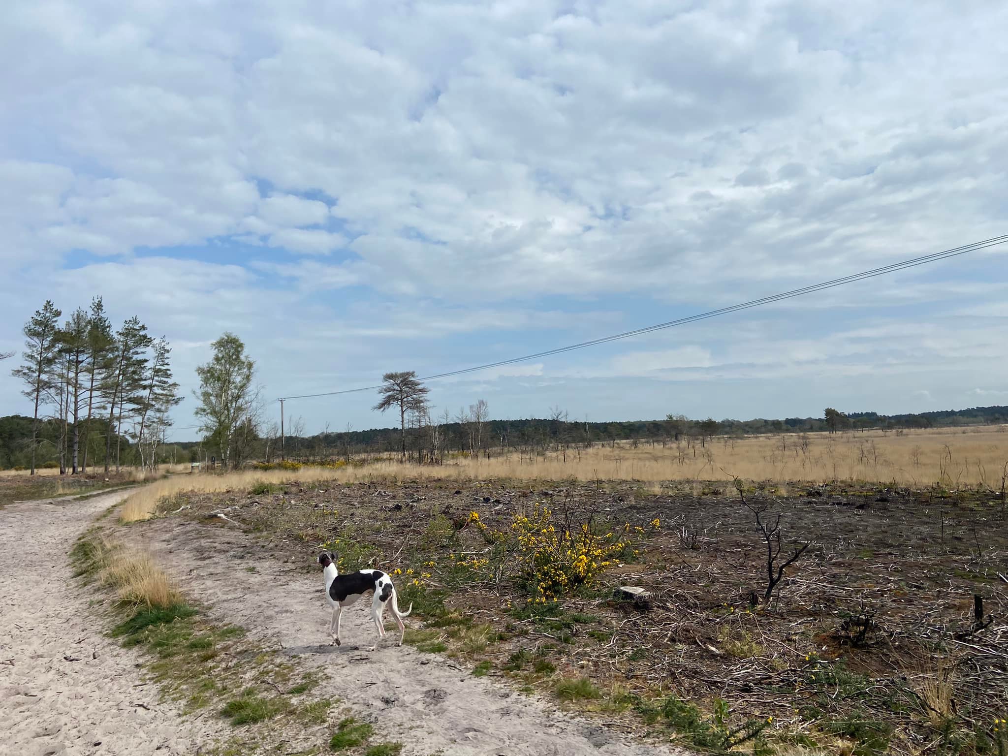
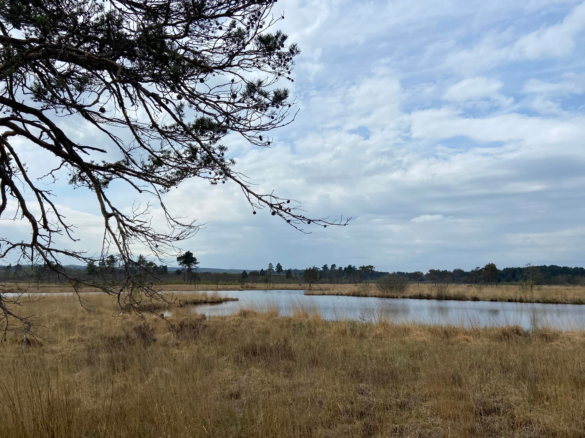
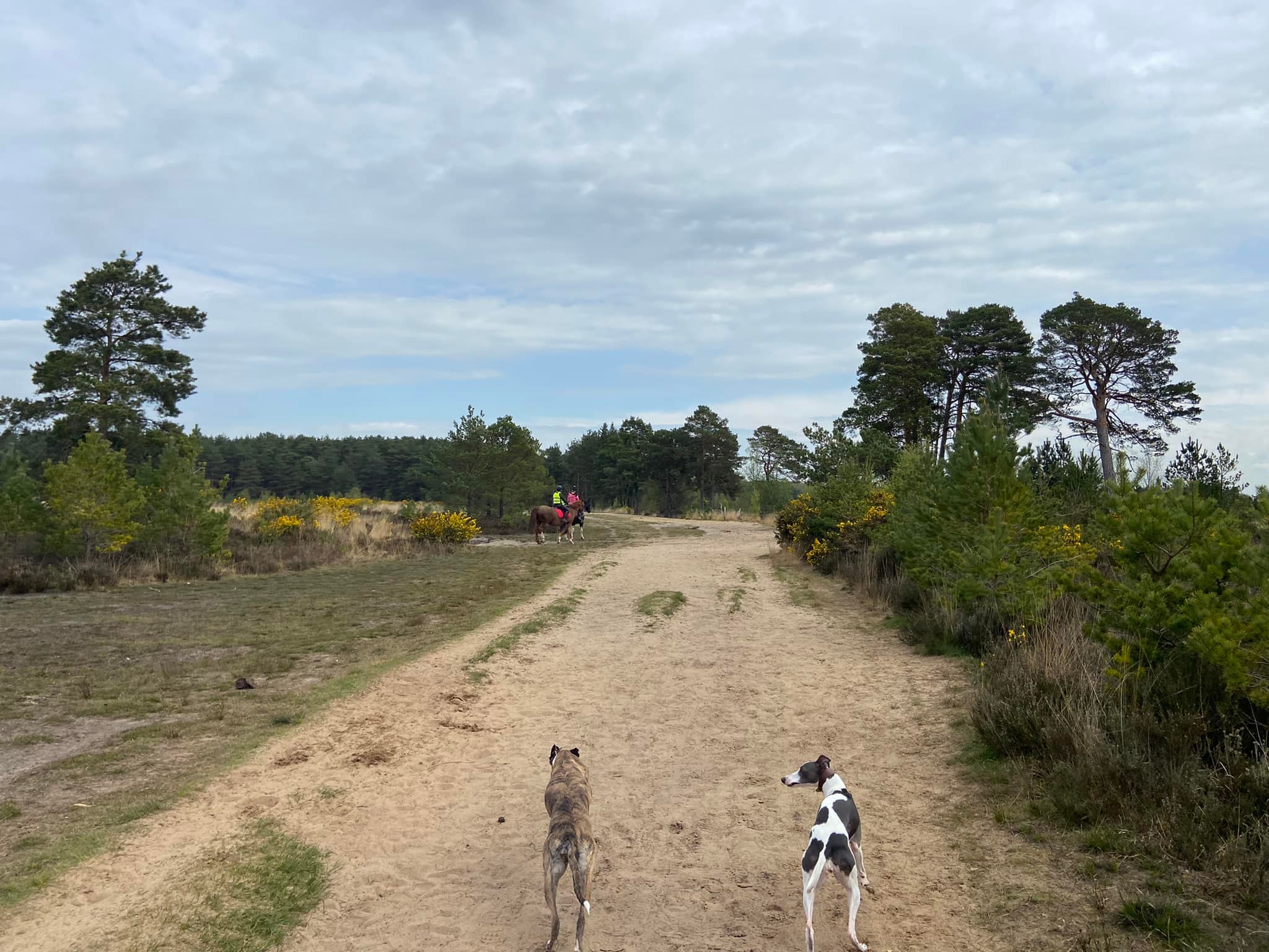
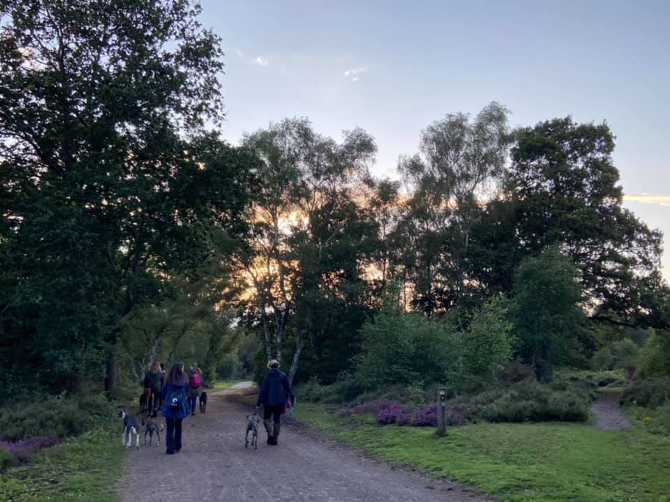
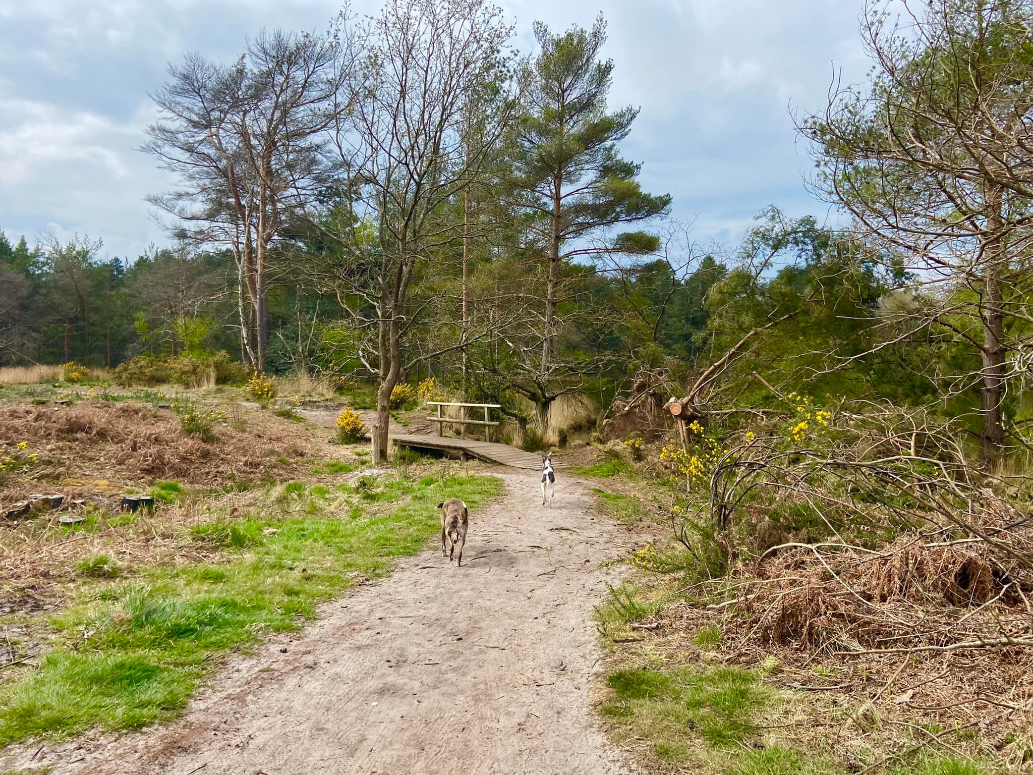
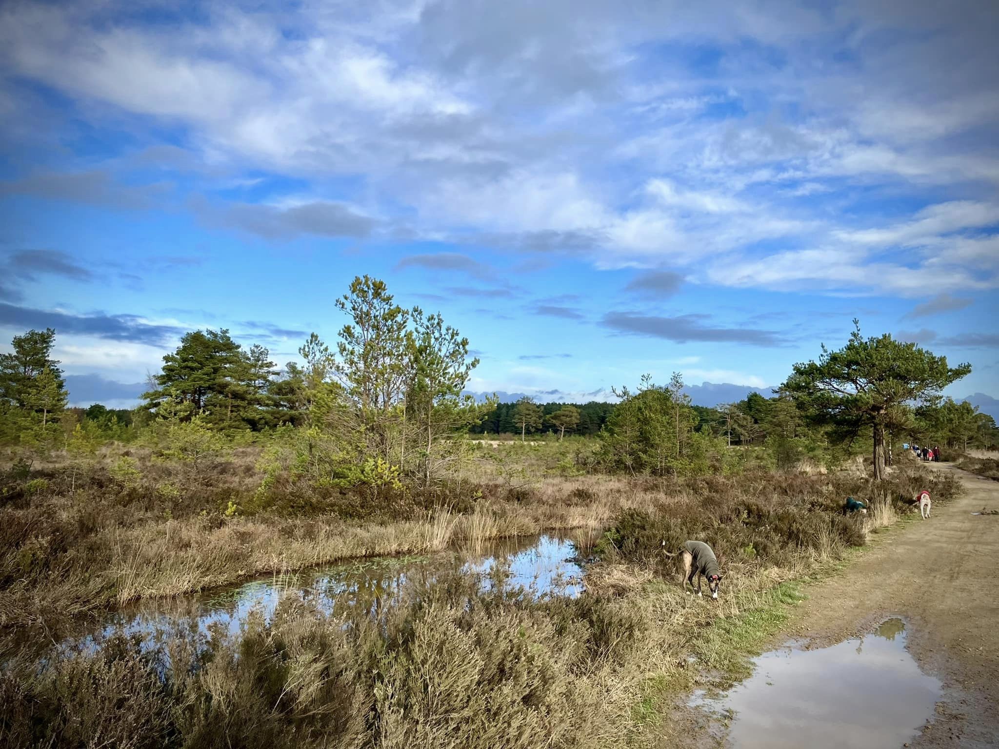
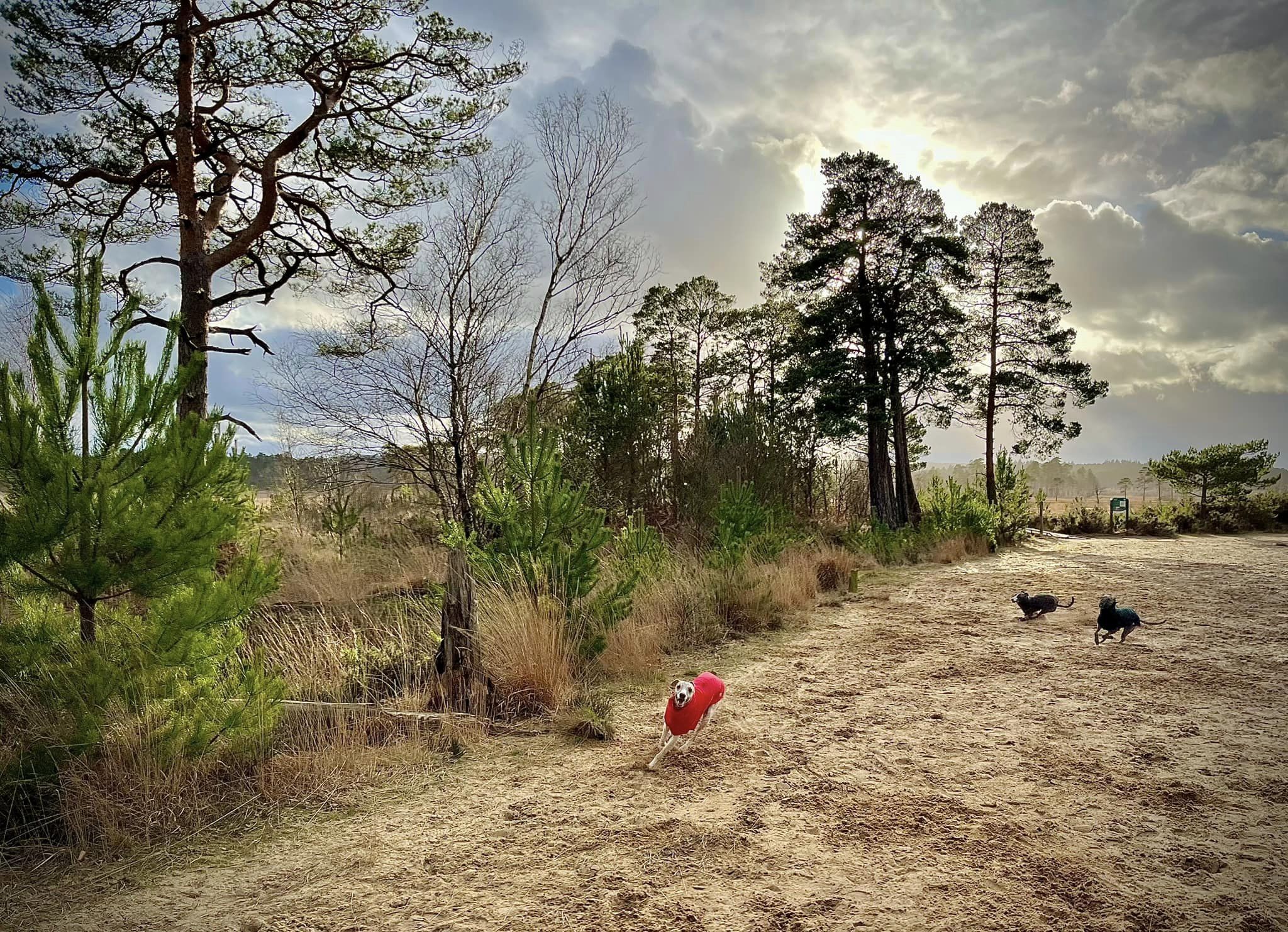
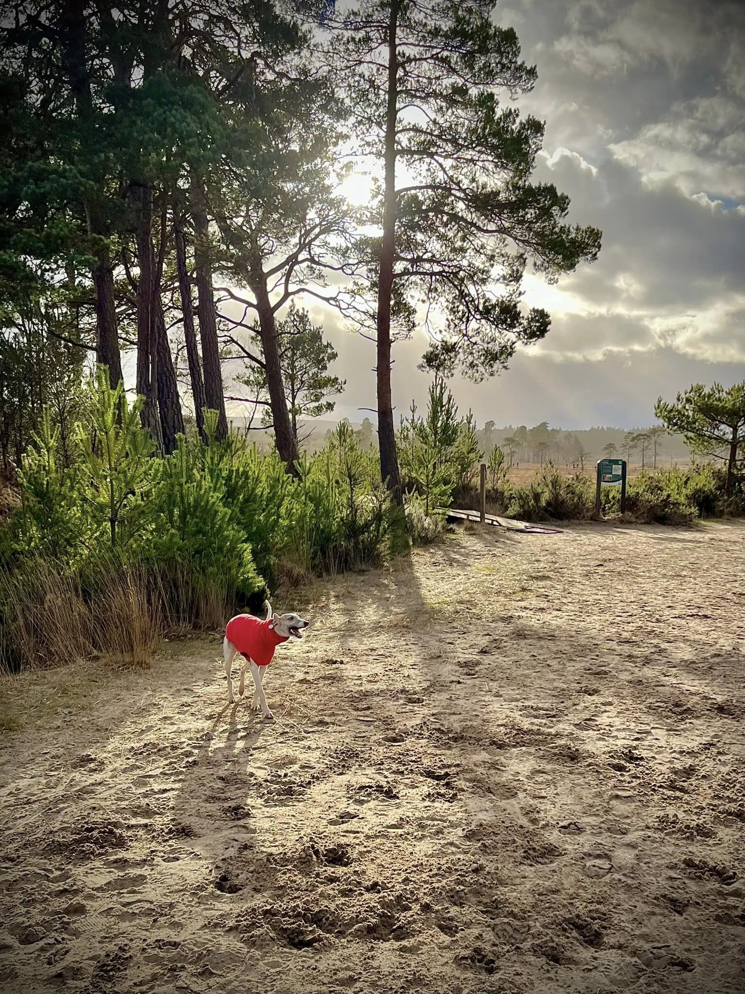
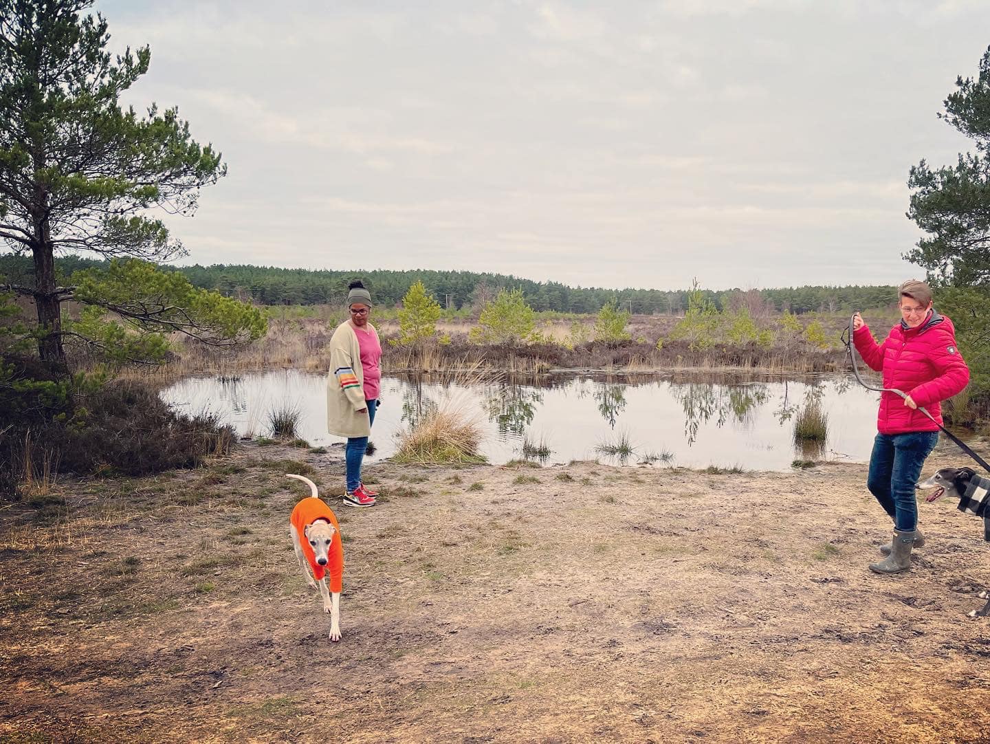
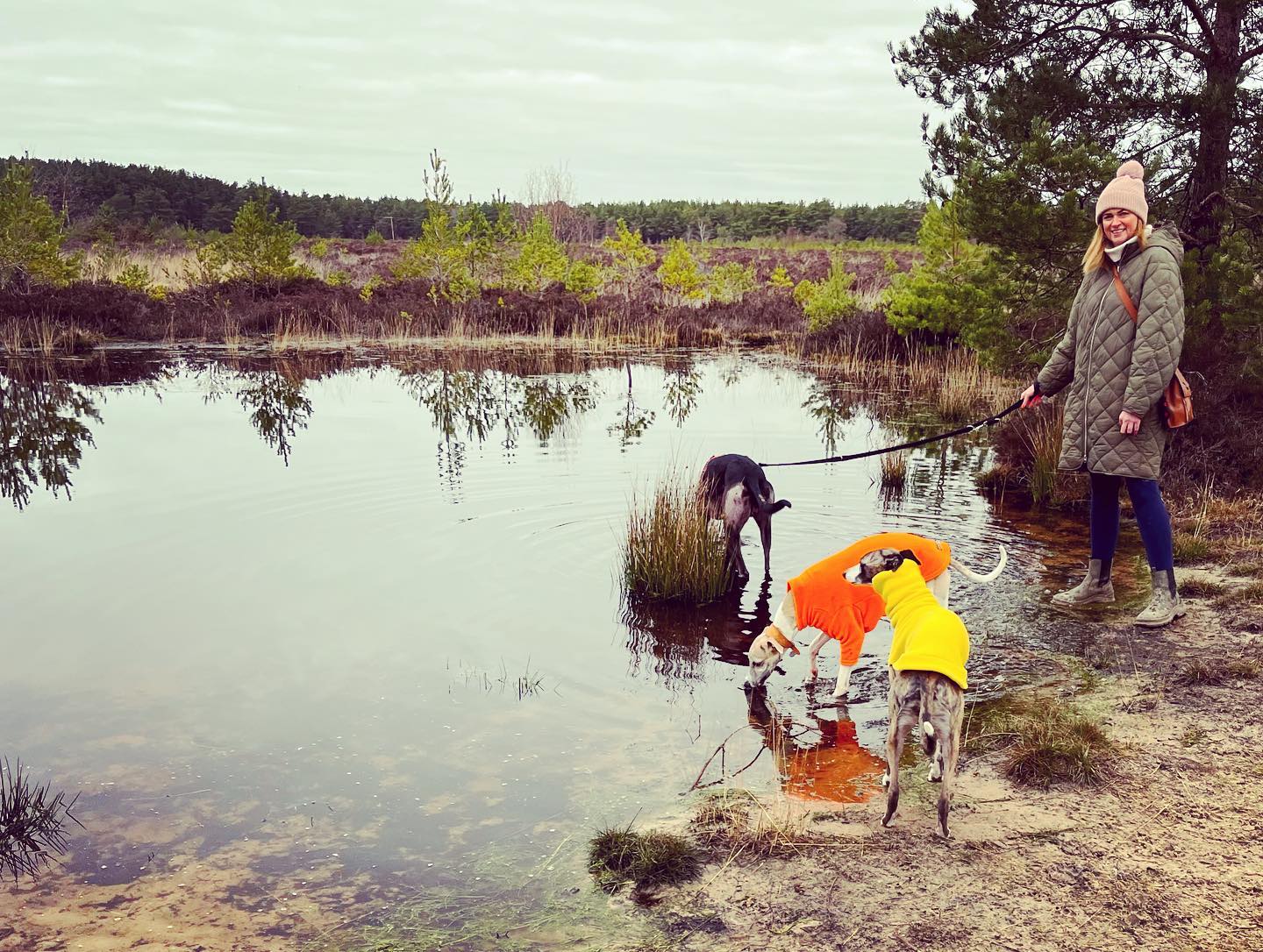
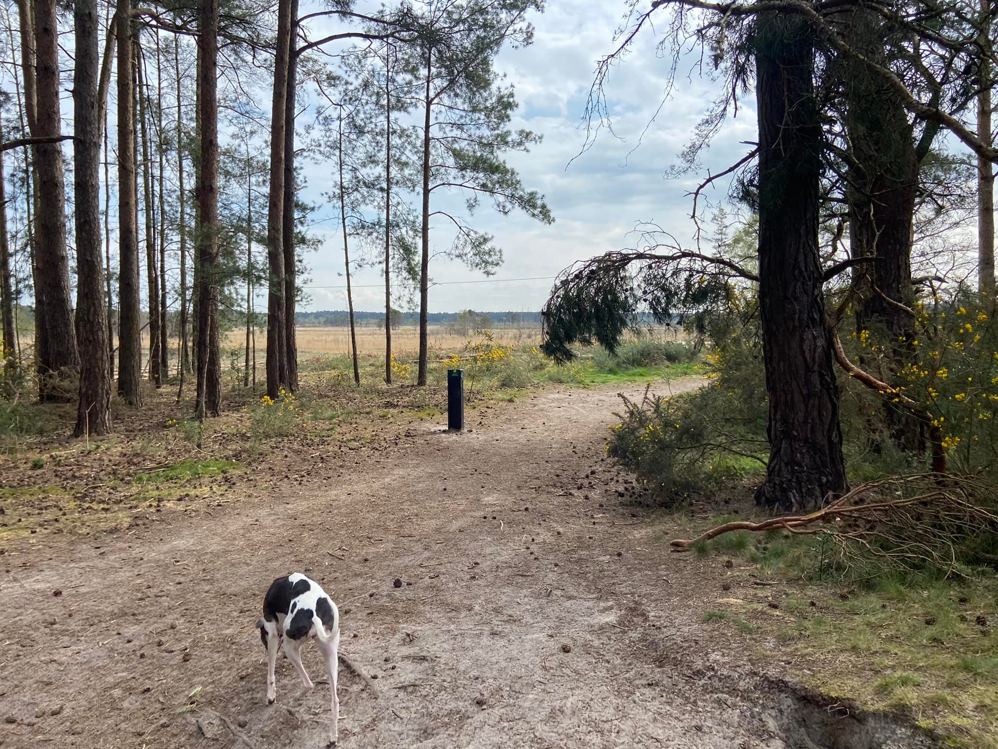
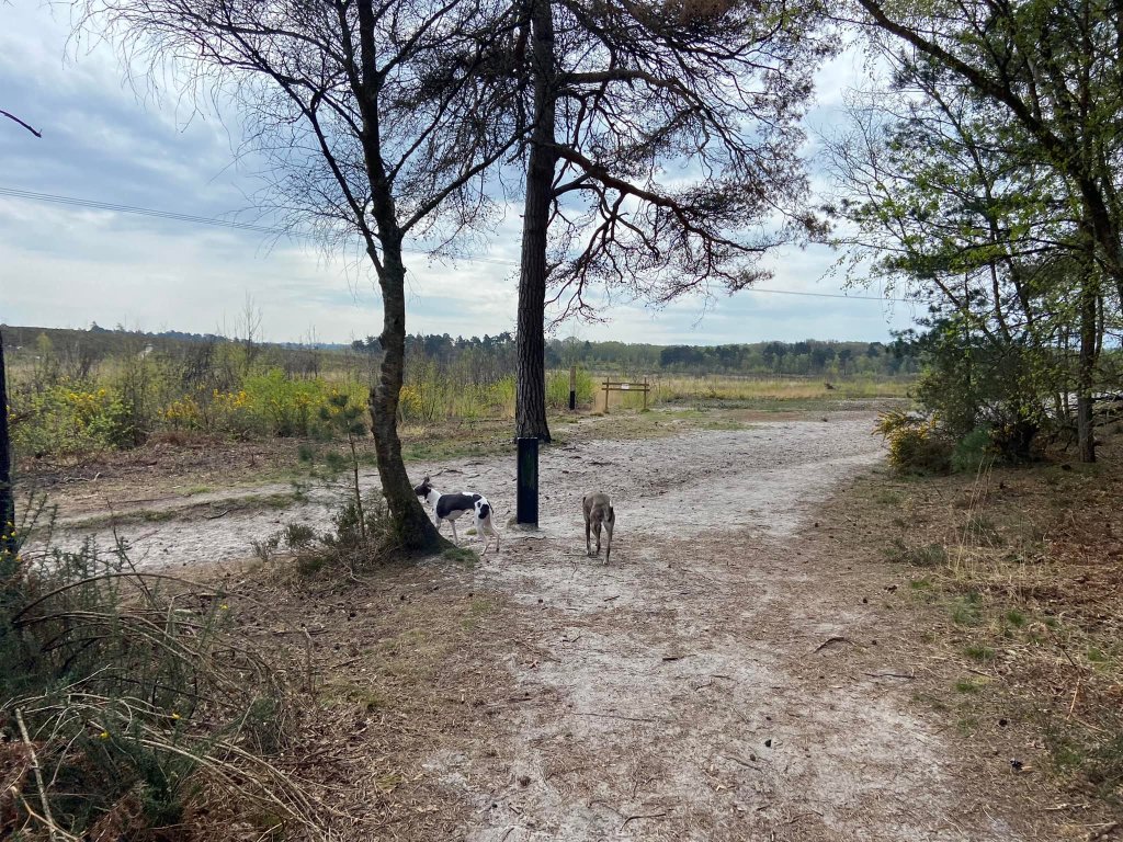
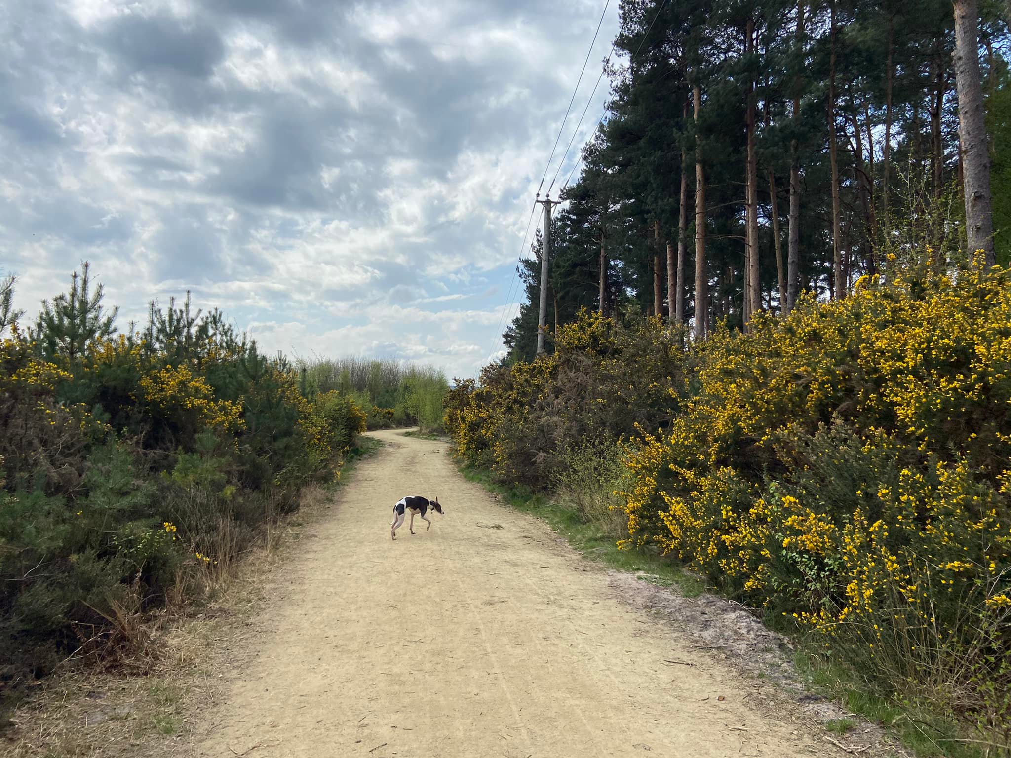
Gallery: What’s it like here?


Parking
Park in the free Thursley Nature Reserve Moat Pond car park. There are signs about payment, but they are very misleading and just invite you to make a contribution to the upkeep of the area.
what3words: observers.open.brave
Poo bins?
None, please take waste away with you.
Self-guided walk
Here is a Footpath app route from the Moat Pond car park. Also on AllTrails. This walk is a really simple one that goes round the side of Moat Pond, then skirts the edge of Thursley Nature Reserve before looping up past a series of ponds and then going around the perimeter of Elstead Common.
Length: approximately 2.2 miles/3.5 km
Terrain: A flat walk that is mainly on wide sandy bridleways with some smaller paths by Moat Pond.
Stiles/kissing gates? No stiles, no kissing gates

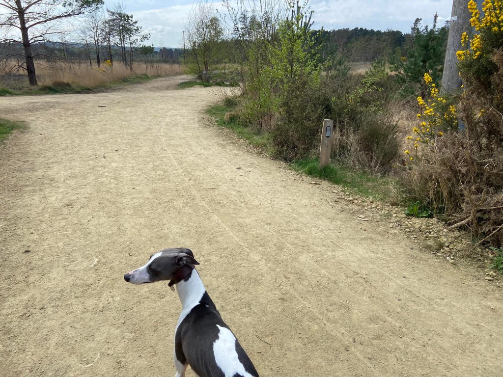
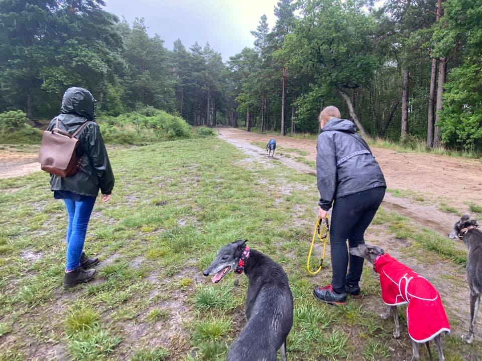
Park in the Moat Pond car park, and with your back to the road, you’ll see some information boards over to the right-hand side. Take the path to the right of these and walk down to Moat Pond.

At the water, turn left and walk along the edge of the pond. Just keep it on your right-hand side and follow the path round, passing a small black marker on the left, and over the little wooden bridge. After the bridge, stay on the main path ahead (rather than taking the little one off to the right that runs closer to the water).

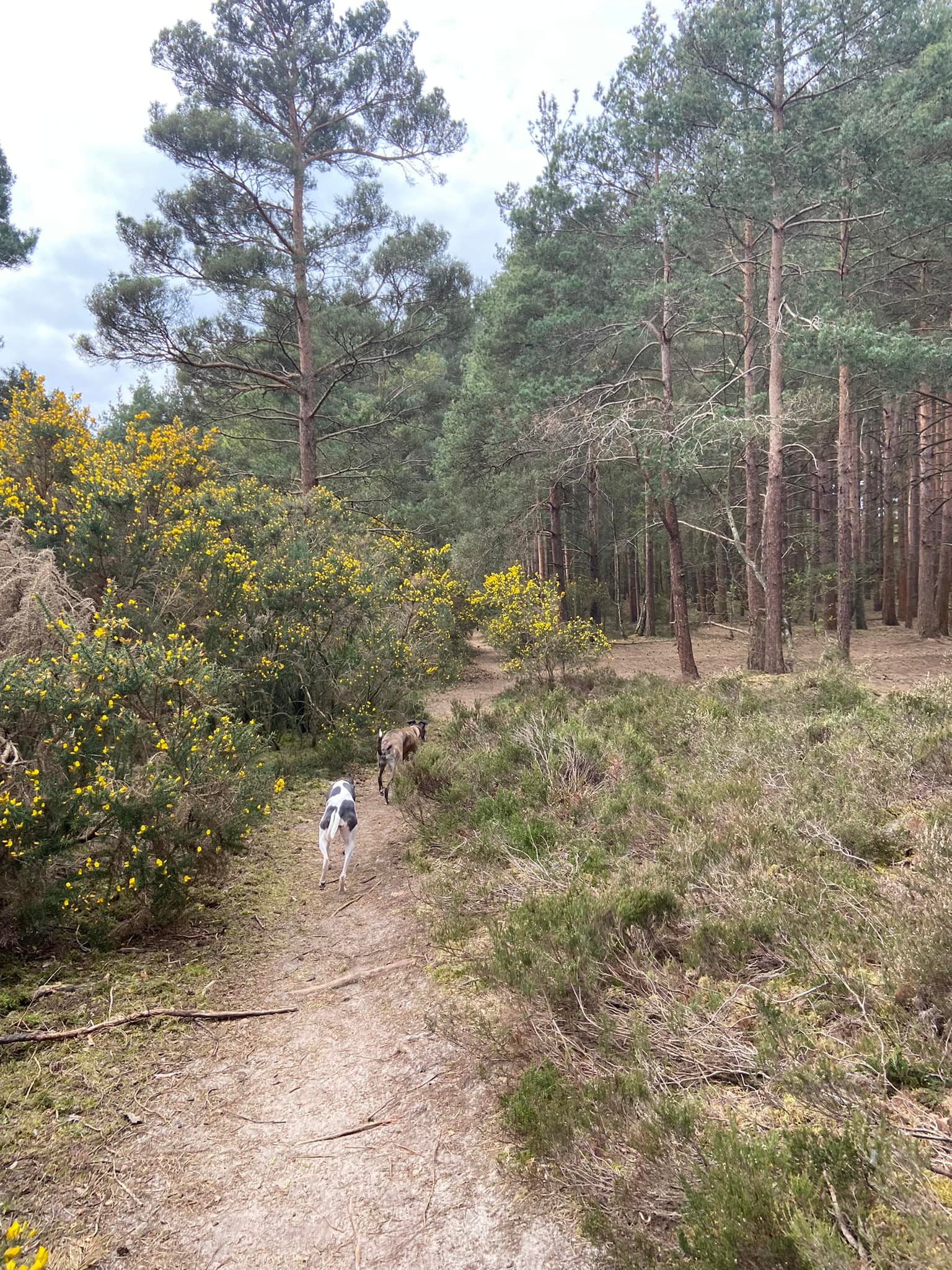
When you come to a fork, bear right/ahead and into the gorse and tall trees. Then at the cross paths where there is a black post on the right, turn left.
At the end of this short post, by another black marker post, turn left and walk a fair way along the wide sandy ride.
Continue straight ahead where there are information boards and boardwalk to the right.
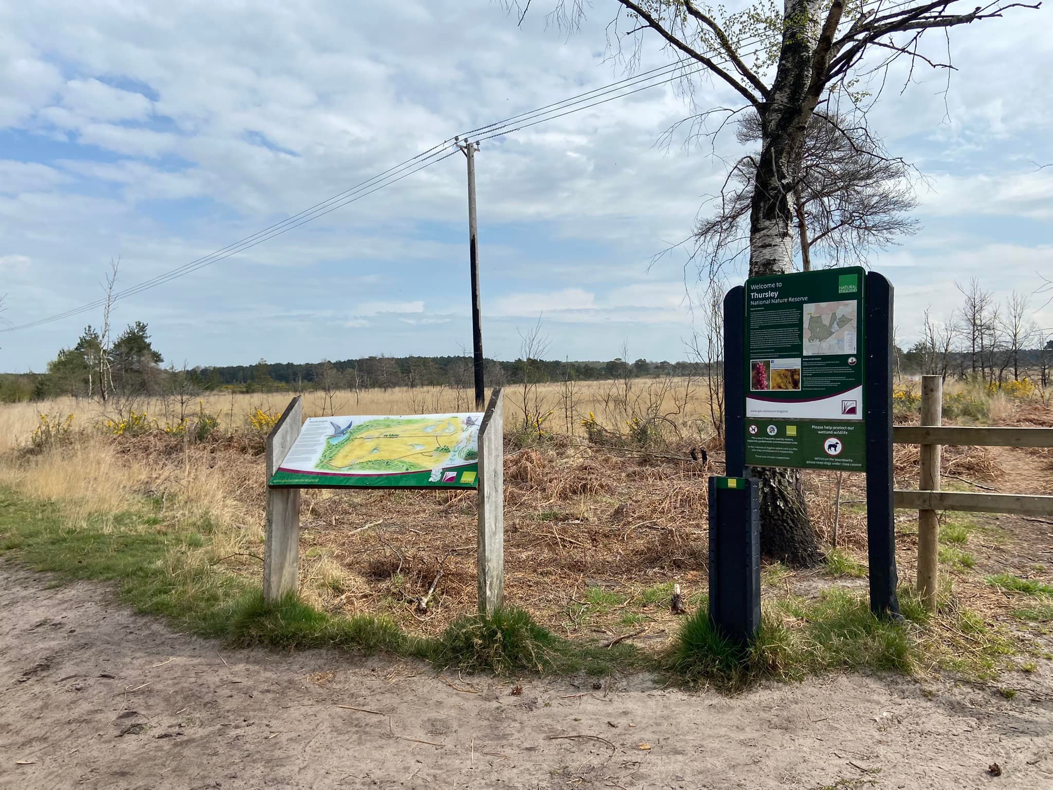
After the information boards, you can take the next little path off to the right if you want to cut off the corner, otherwise continue ahead a little further to the next big cross paths just by a wooden electricity pylon and turn right there.
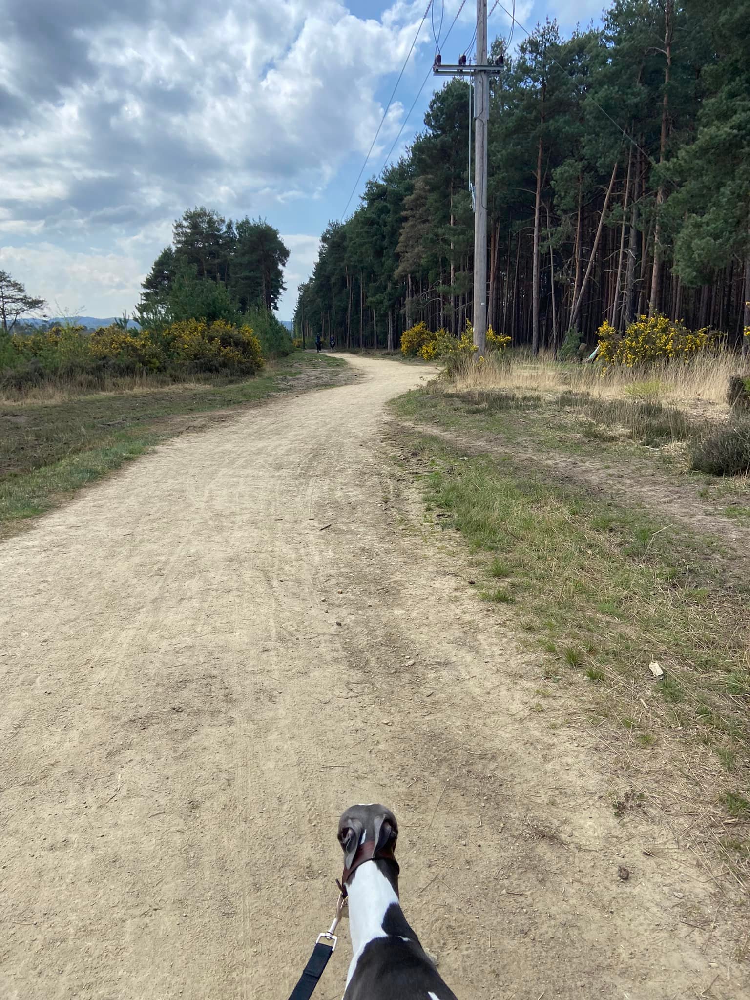
Walk down this path for a long way. It is higher and drier than the surrounding land, which you can see is sunken bog (but the path can still be a bit muddy in winter). This path is the boundary between Thursley National Nature Reserve to the right (there is a WWR walk route for here too) and Elstead Common to the left.
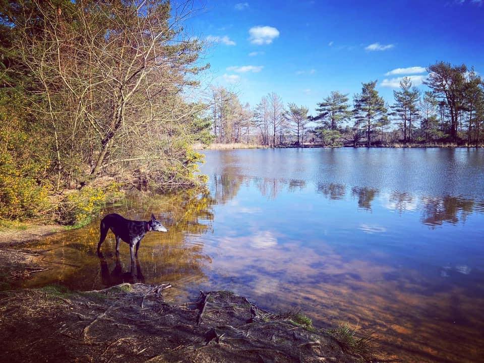
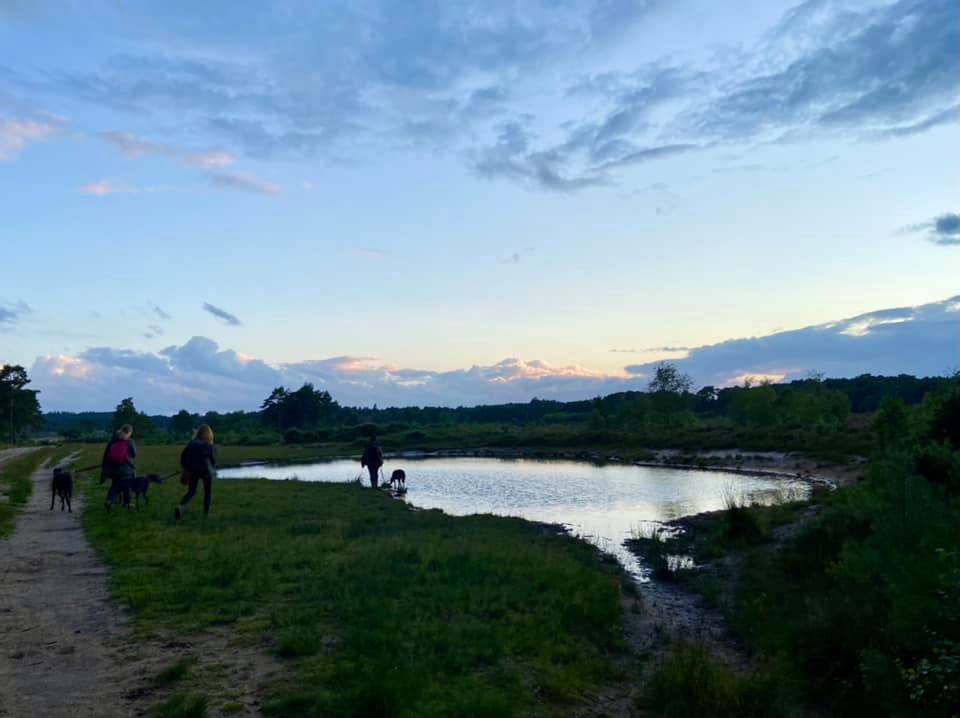
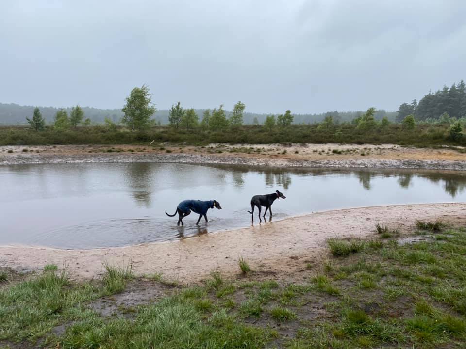
The path widens and becomes very sandy underfoot and you will reach a line of large ponds to the left.


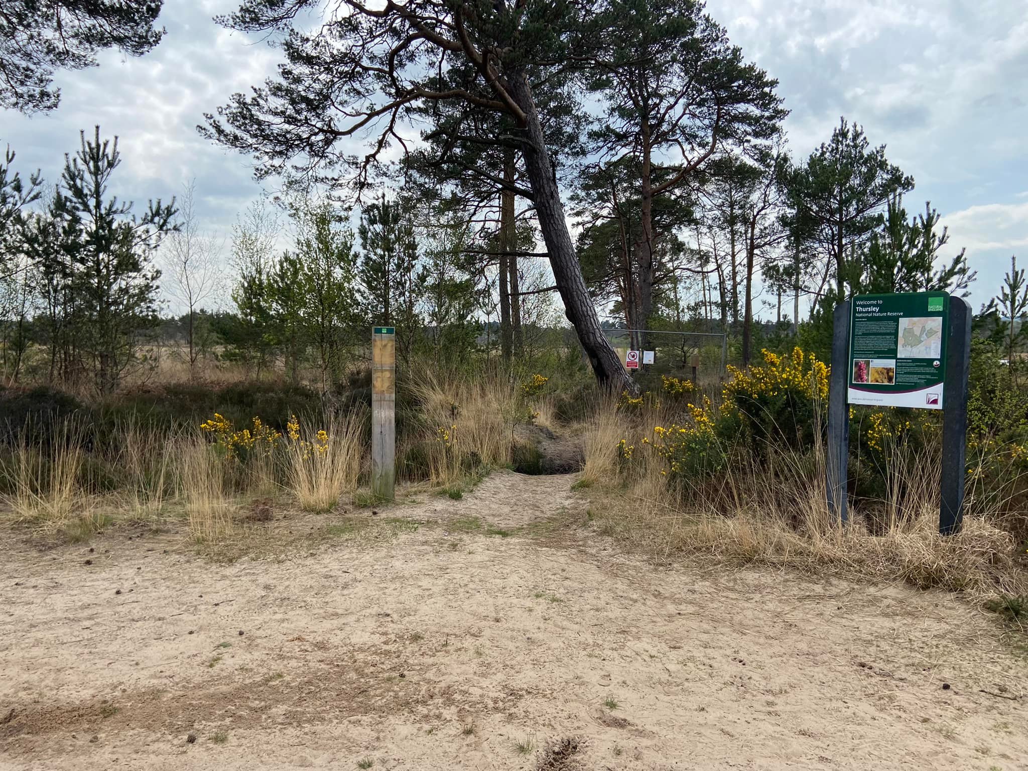
NB – just as you teach the first of the ponds on the left, look to the right and you’ll see another Thursley Nature Reserve information board and boardwalks through Pudmore Pond.
Just after the fifth and final pond on the left, the path goes into the trees. Here there is a cross path, where you can turn left if you want to cut off a corner but this isn’t a very long walk anyway so if you’re not fussed about making it shorter, just continue straight here.

At the end of the path, where there are little wooden stumps across the way, turn left.

Now stay on this track all the way down to the red and white posts. These mark out a concrete slab over a stream running through a pipe. Cross this then almost immediately, come off the main path onto a smaller one heading diagonally to the left. Follow this towards the trees. It curves round to the left and then runs alongside the trees.

Continue straight at the electricity pylon, ignoring a path off to the right which goes to Woolford Lane (where you can park if Moat Pond car park is too busy). The path now follows the route of the pylons.
Stay with it and you’ll come to a cross paths just after a pylon and a little wooden post. You may recognise this junction from earlier in the walk (the path to the left is the one you walked down to the five ponds). Here, you now turn right and, as you head down it, the car park will come into view.