
Page contents
About
Gallery
Instagram reel showing here
Parking
Poo bins?
Self-guided walk
About
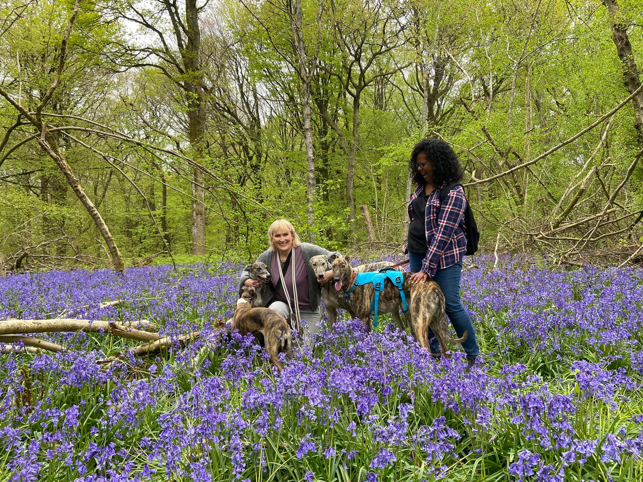
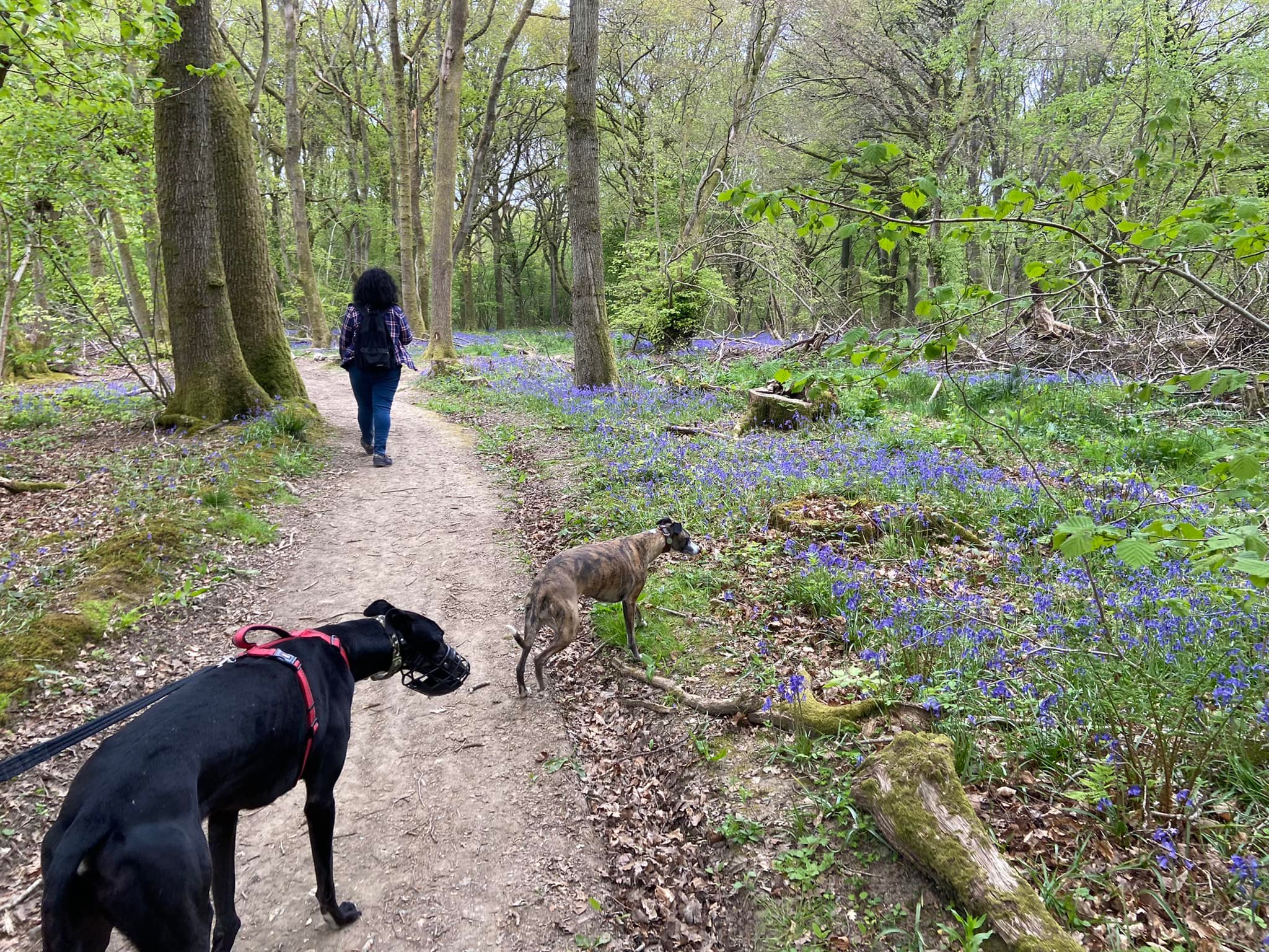
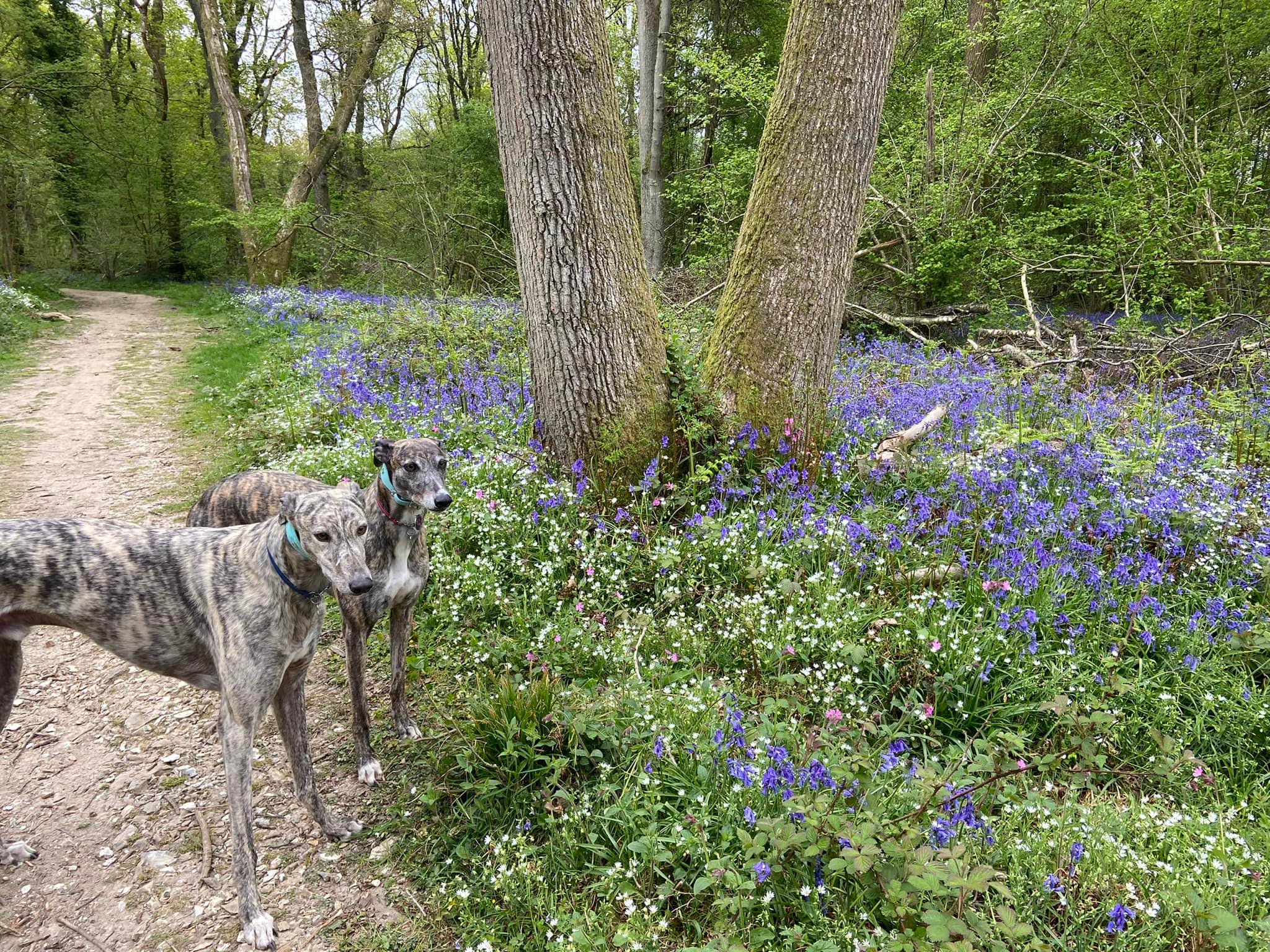
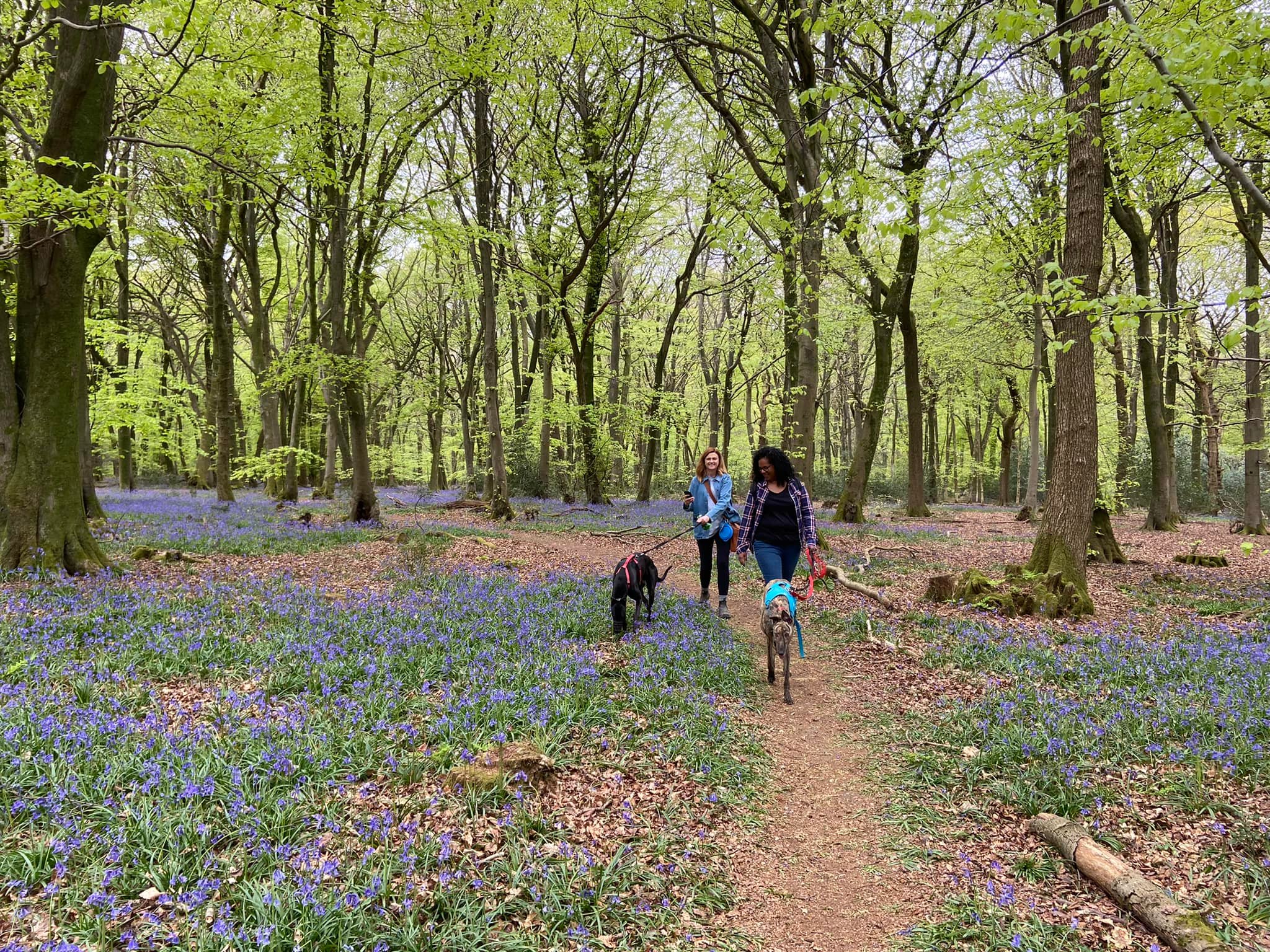
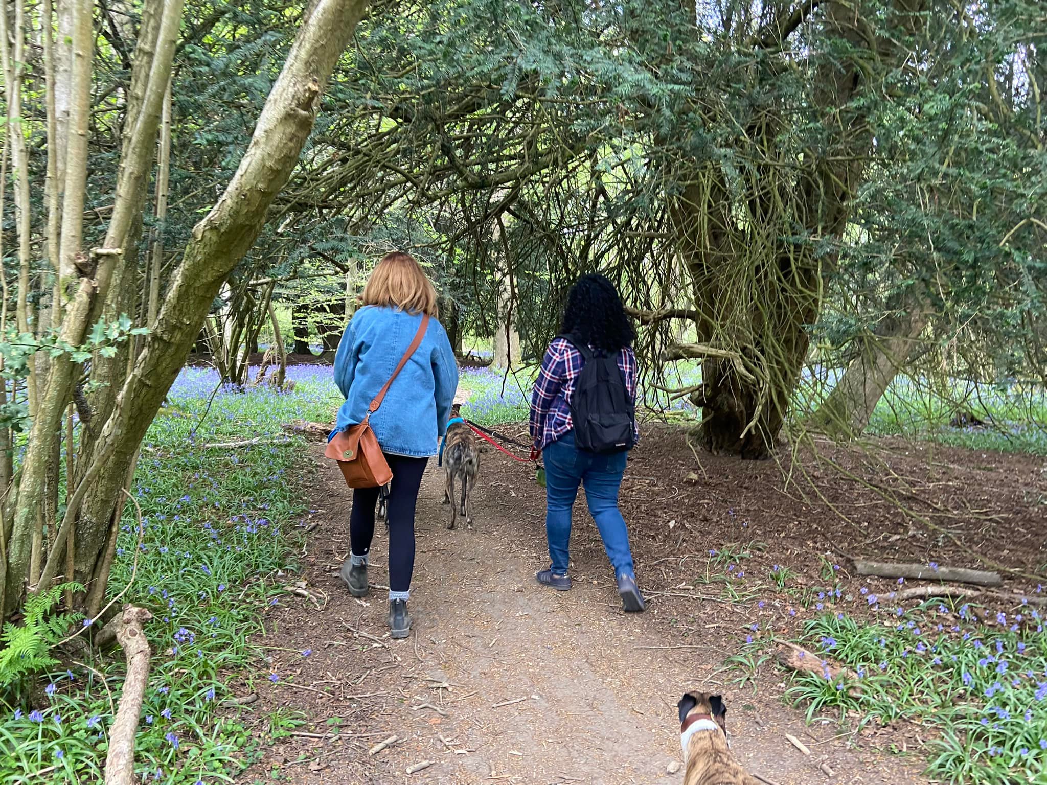
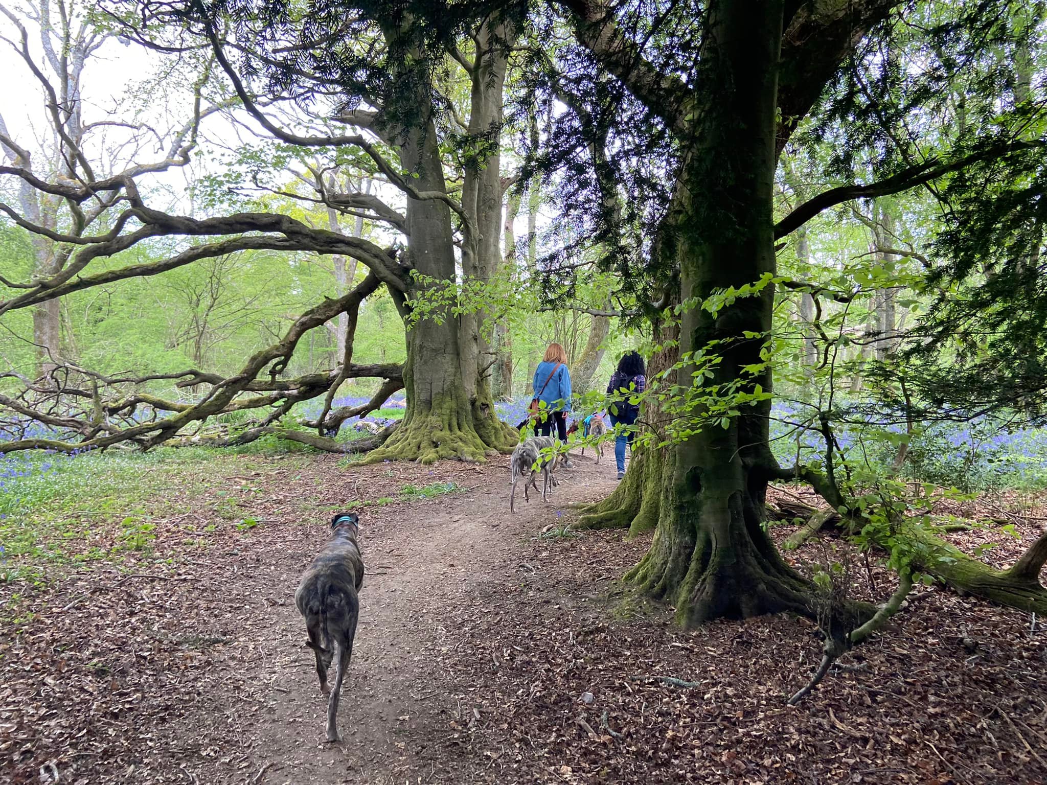
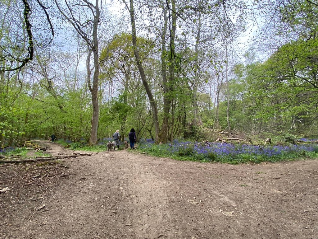
The White Downs are an unspoilt spot high in the hills above Abinger made of grassy chalkland pastures and undisturbed woodlands. In the springtime, the woods boast a fine display of bluebells – apparently they tend to flower a little early here and the best time to visit, according to the folk behind Fancy Free Walks, is in the last week of April.
Throughout its history, large areas of the grasslands below the woods have been used to graze sheep, especially after the Tudor period, when the woollen industry expanded.
The area is managed by Surrey County Council on behalf of the Wotton Estate, which owns the land. Surrey County Council produced a walk for this area that is routinely promoted in local Surrey media during springtime, so sometimes it can be busy with people visiting to look at the bluebells. Their walk is also nice, but it is hillier than the one described below, which is flat.
Note – The Surrey CC walk appears to be the same as the Fancy Free Walks route.
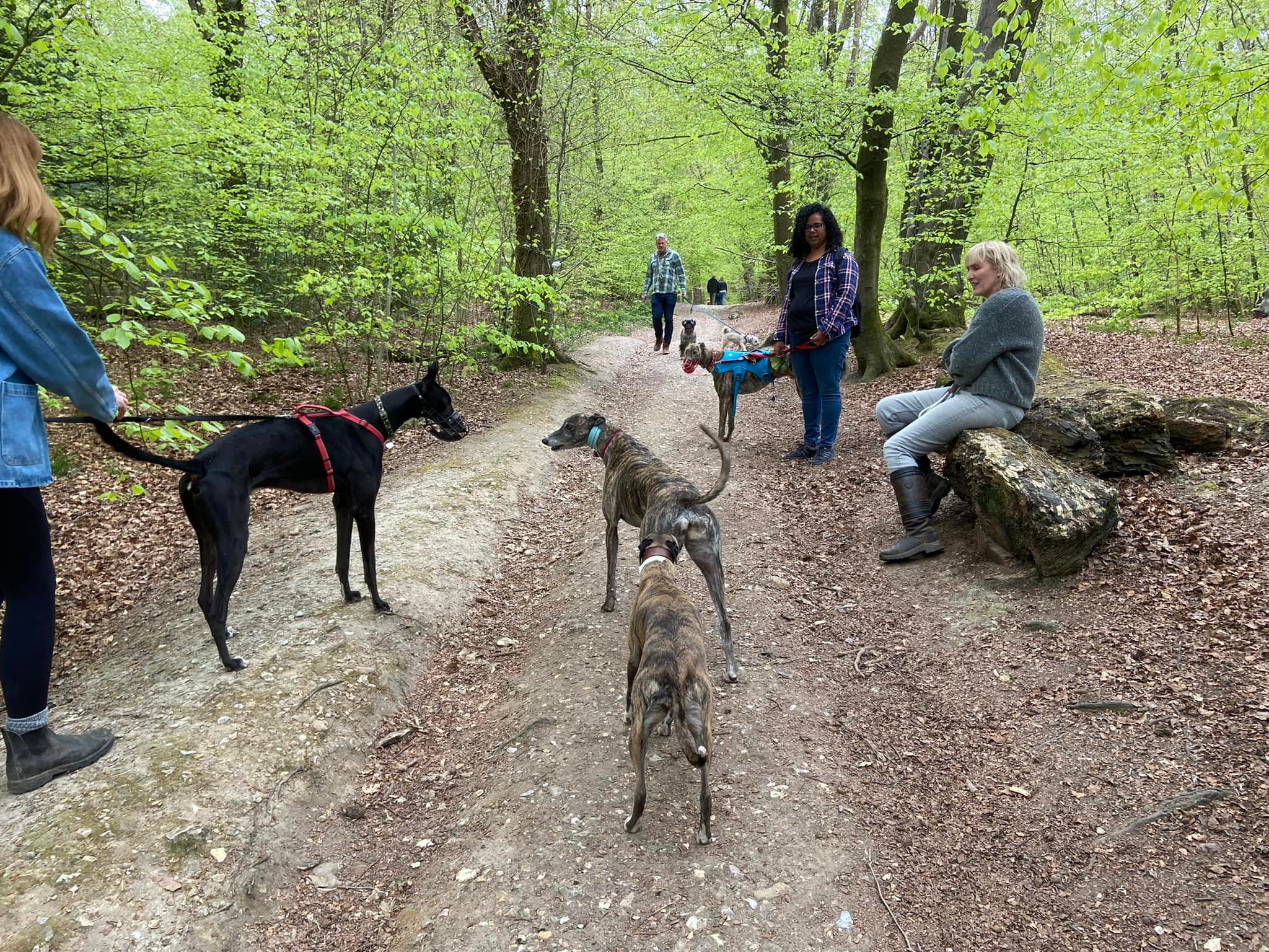
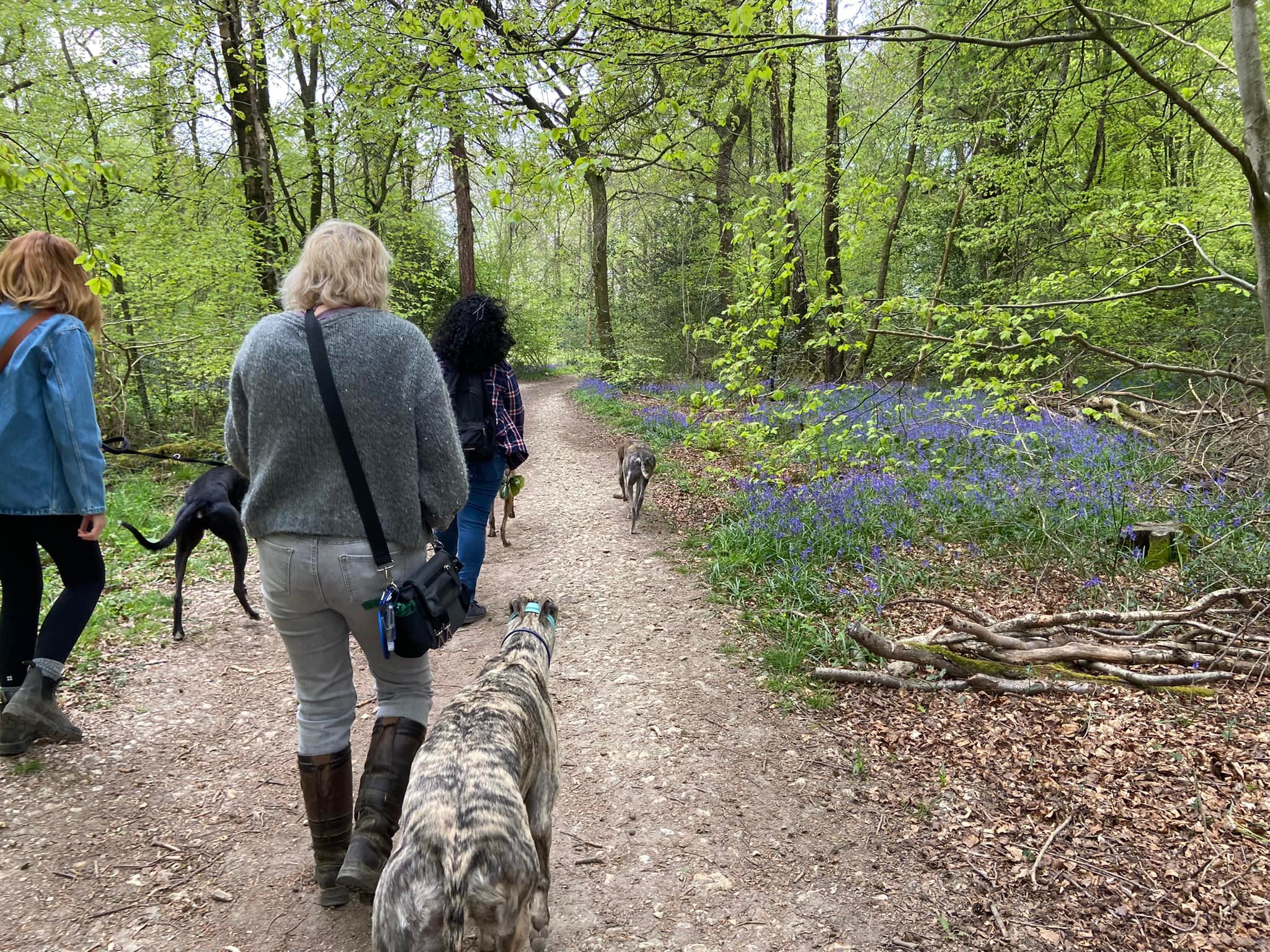
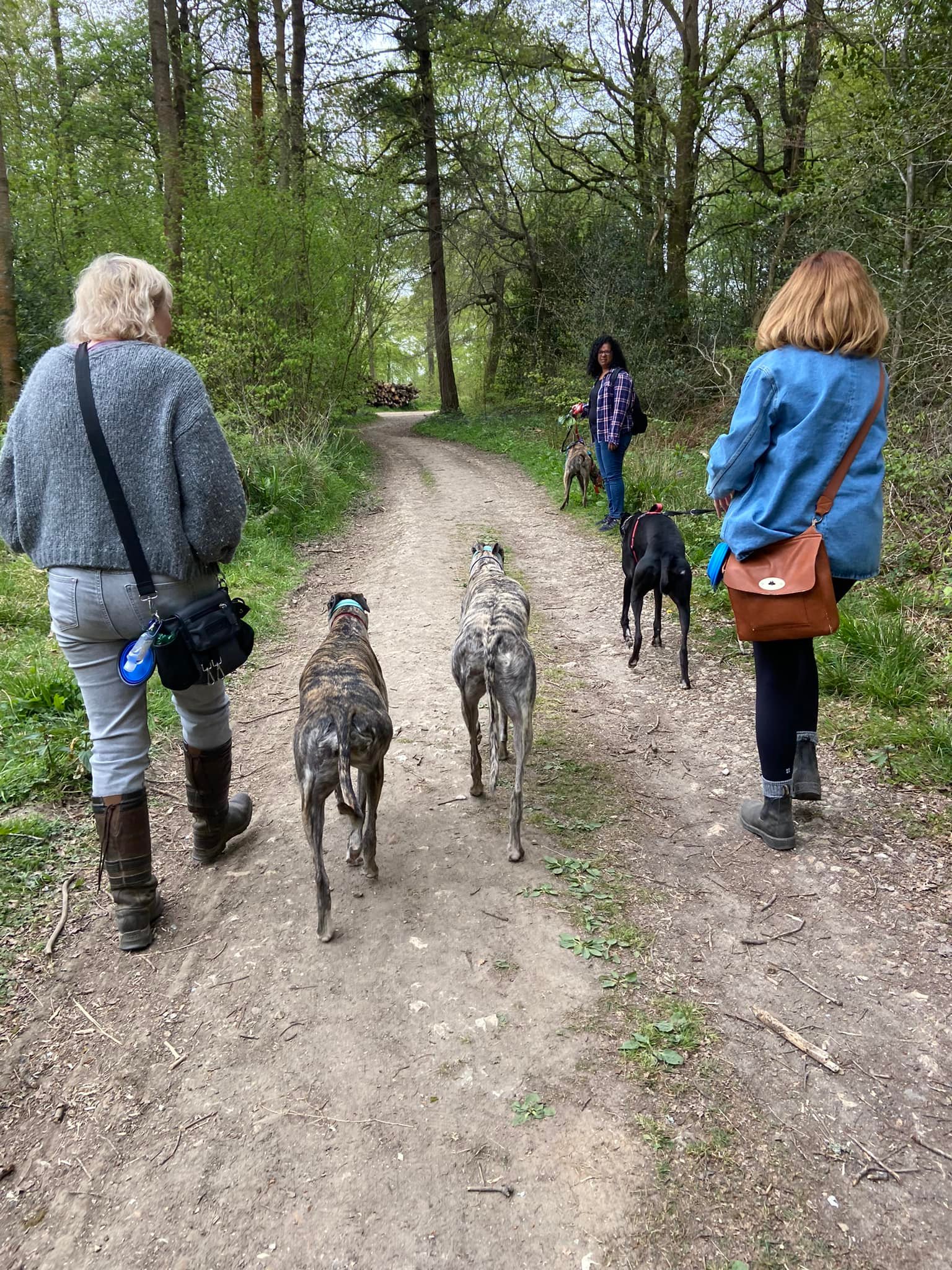
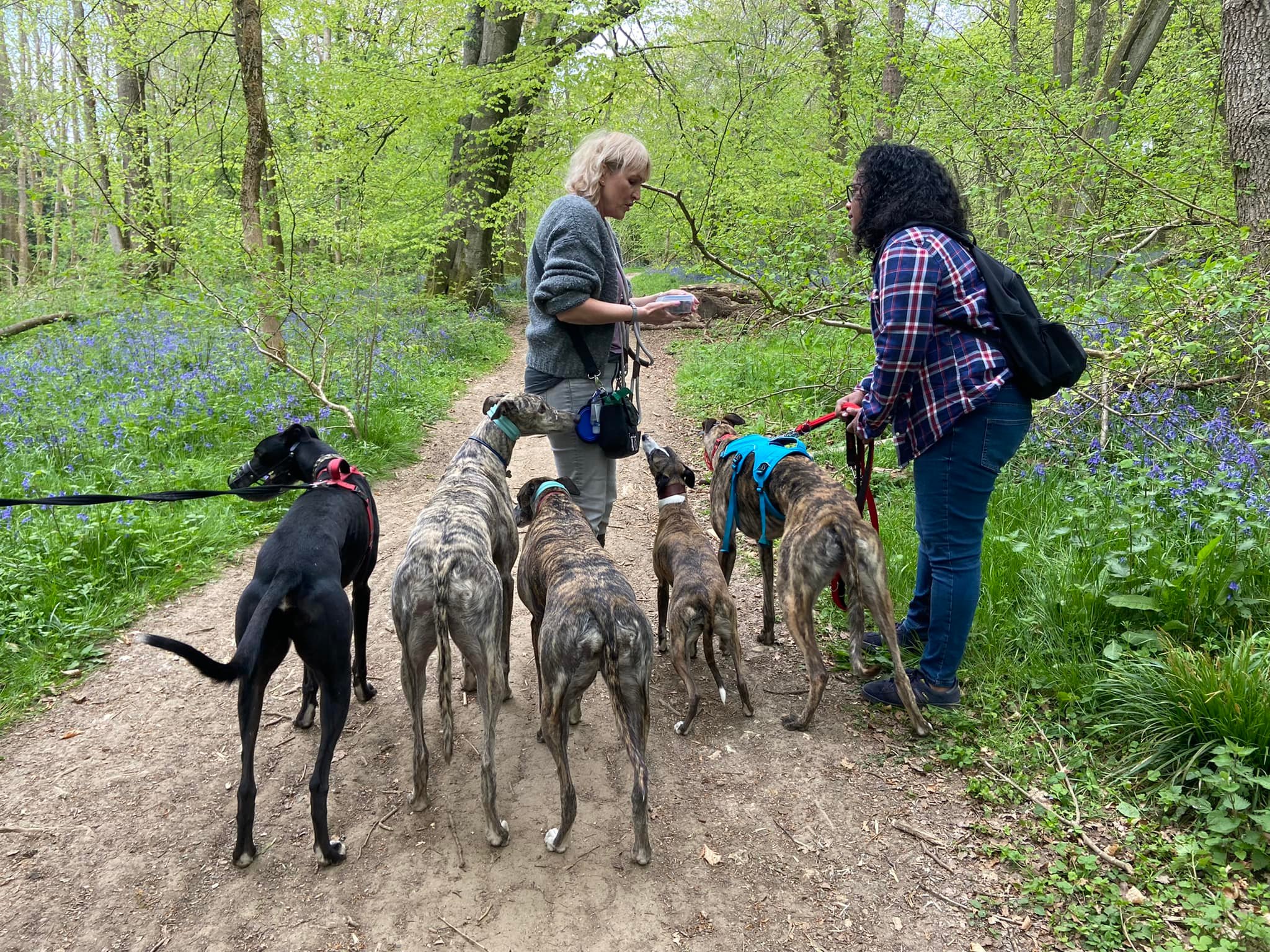
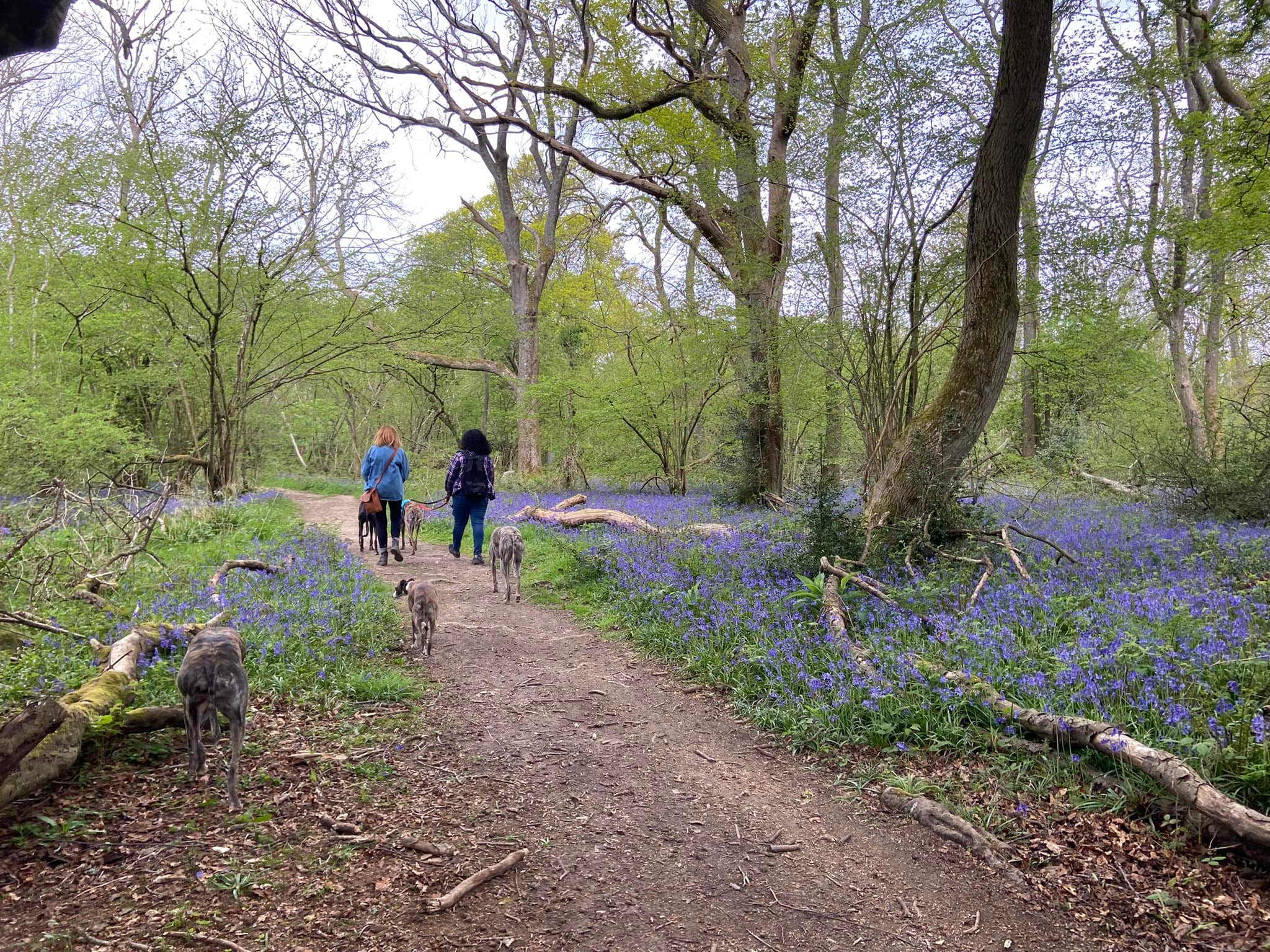
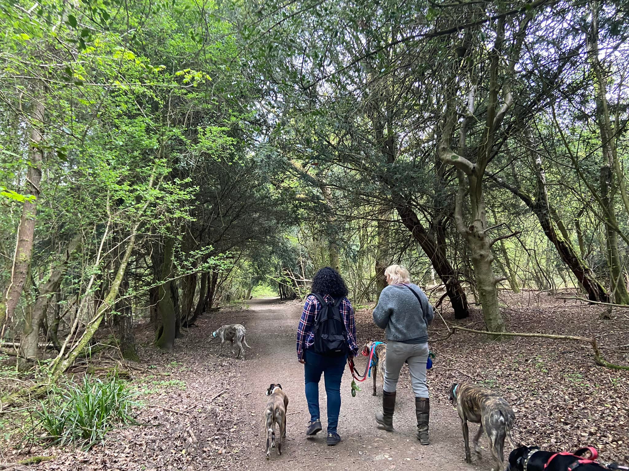
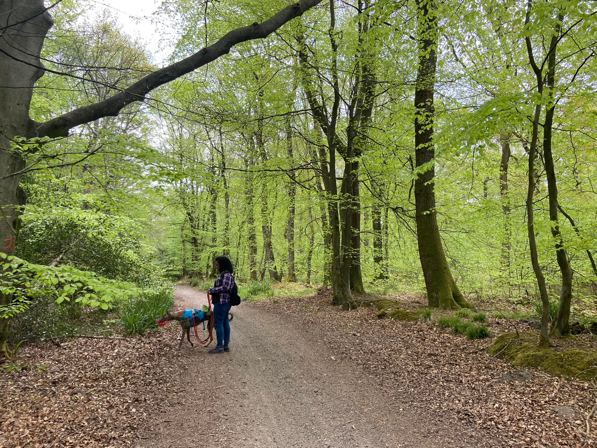
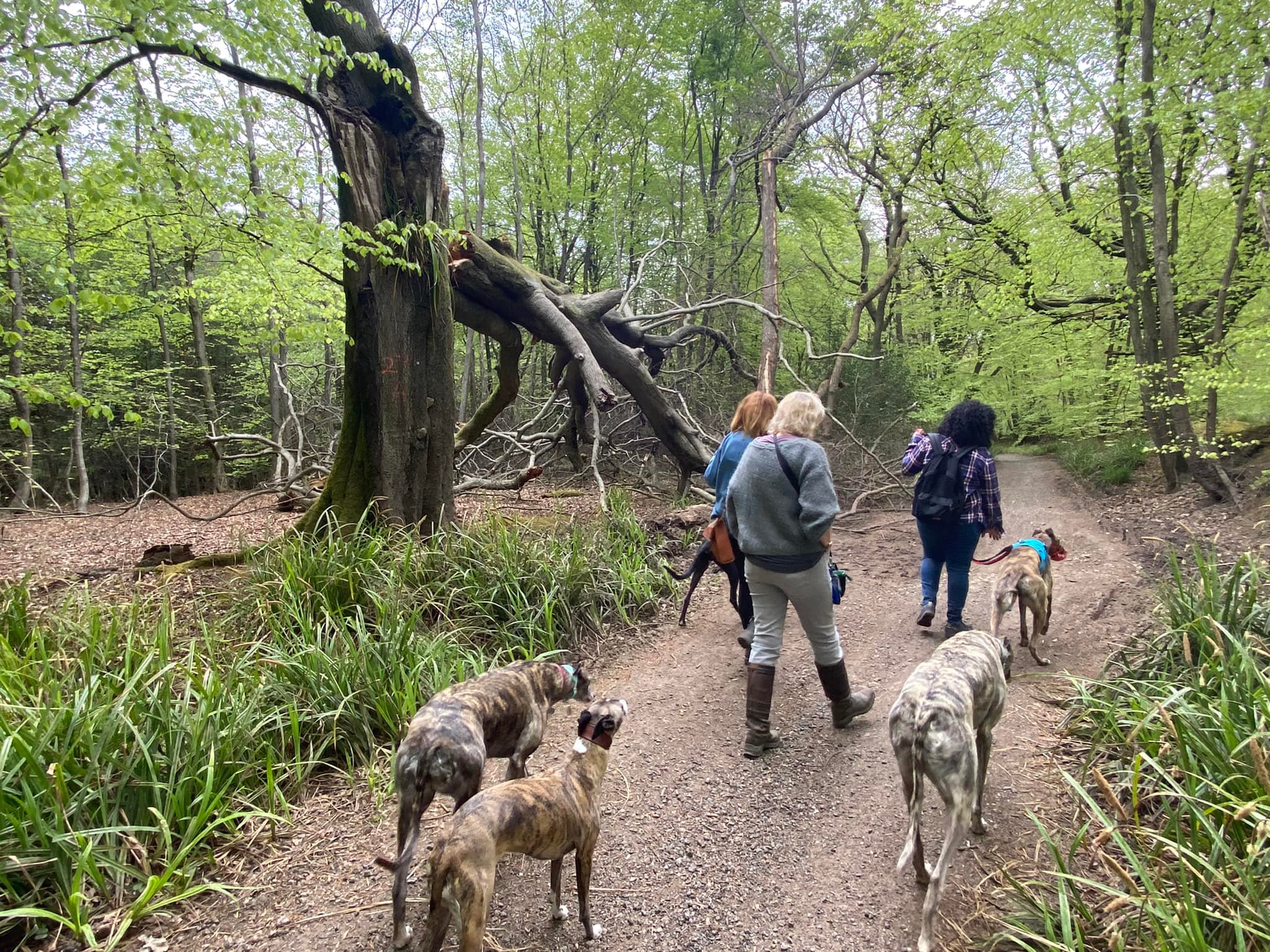
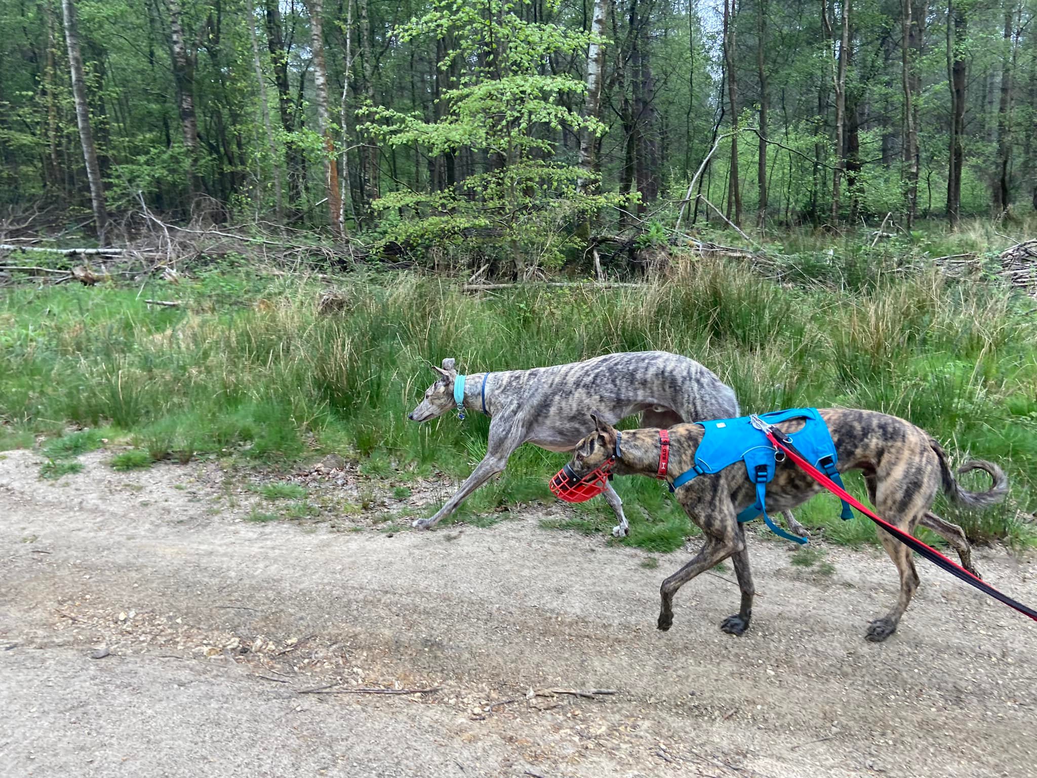
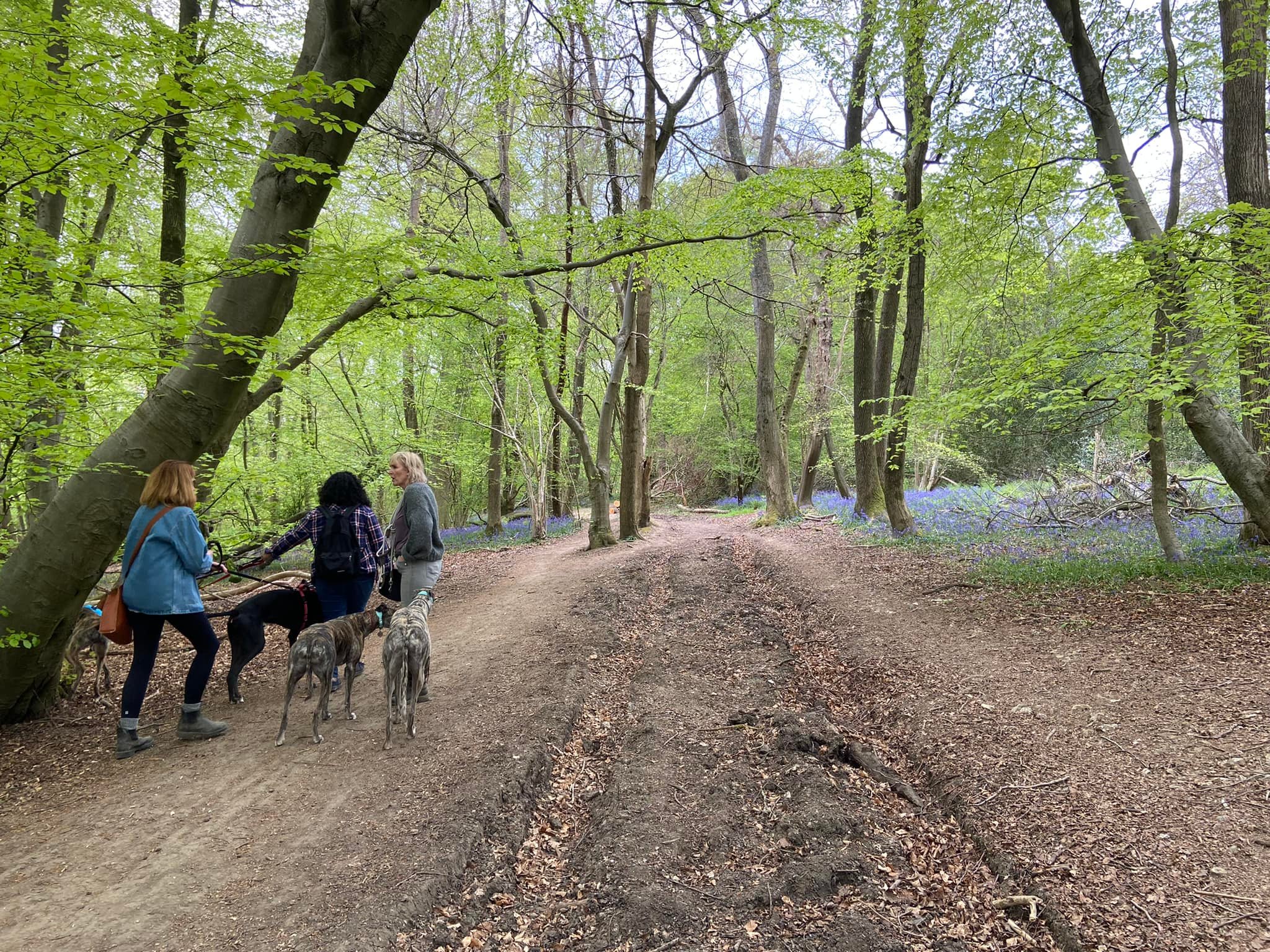
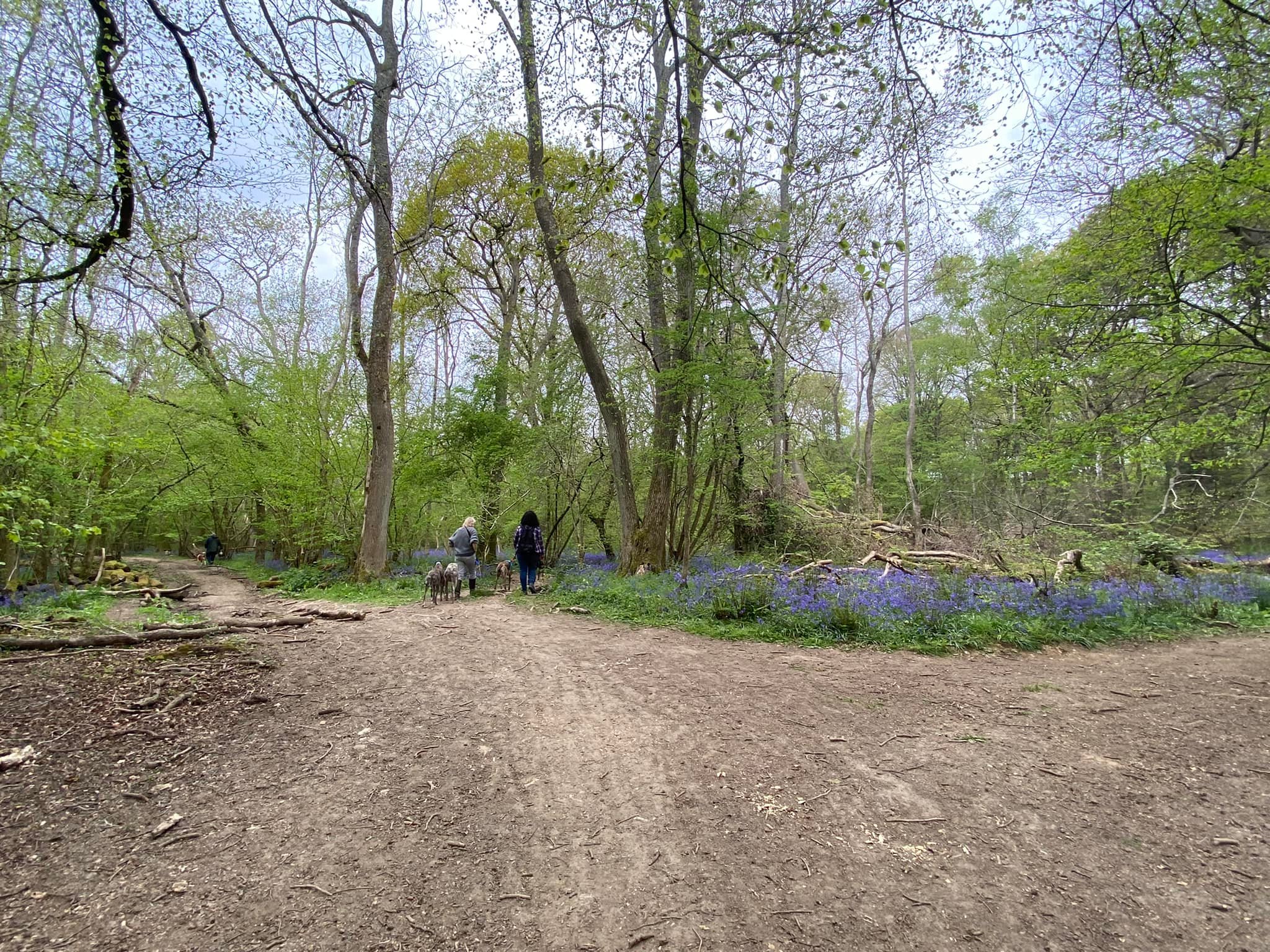
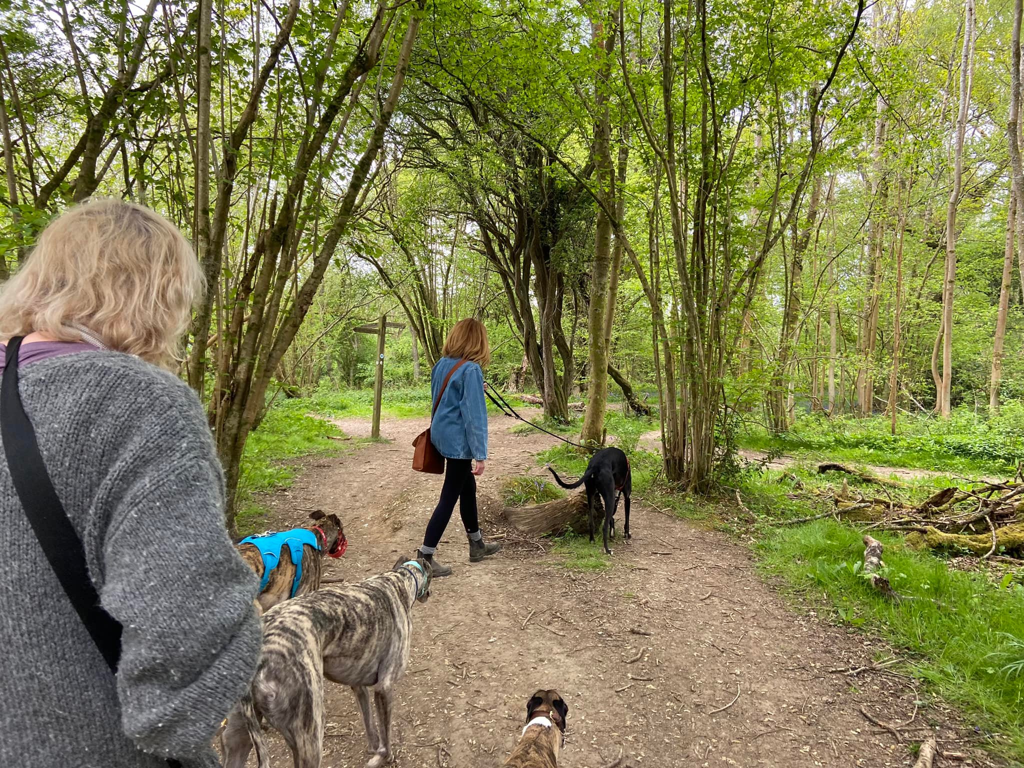
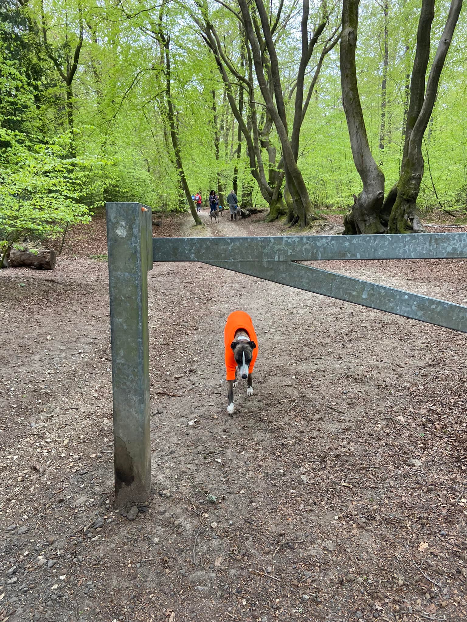
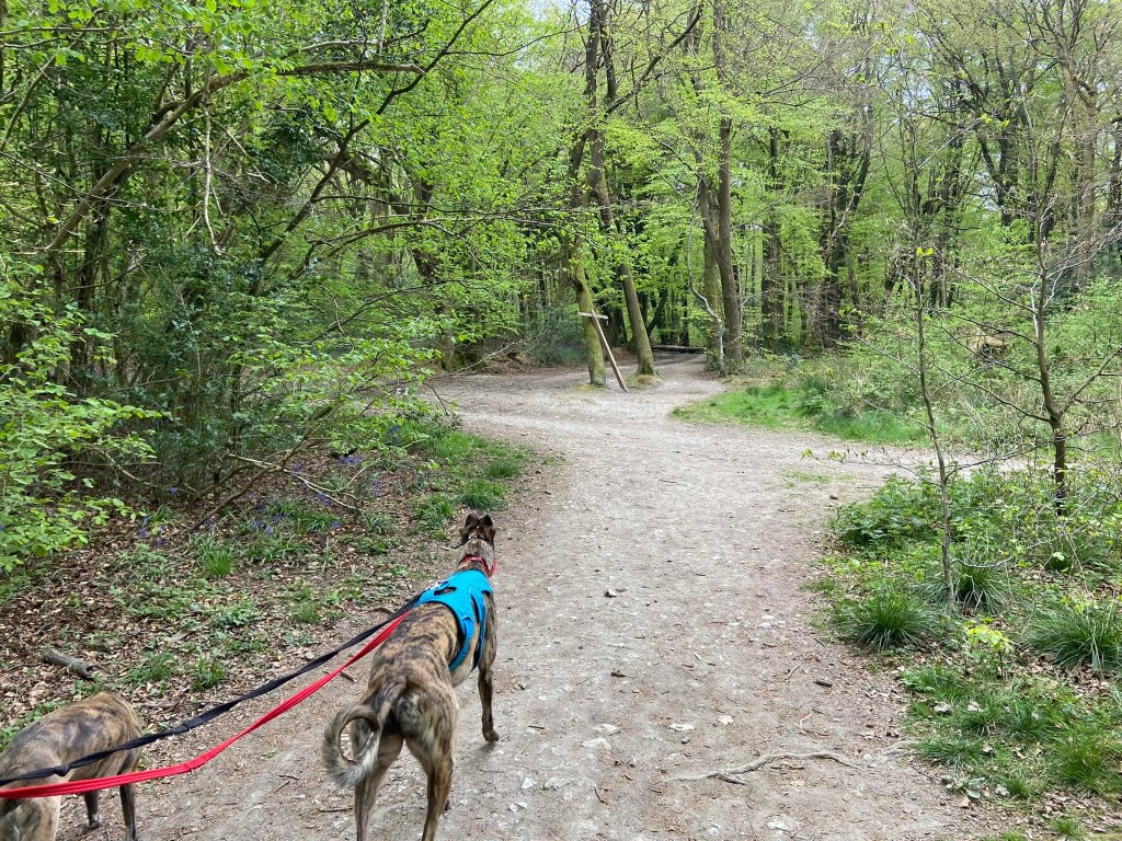
Gallery: What’s it like here?


Instagram reel showing here
Parking
Park in the White Down car park on Whitedown Lane. It can be busy during springtime because of the bluebells, in which case you can also park along the road.
Poo bins?
None, please take waste away with you.
Self-guided walk
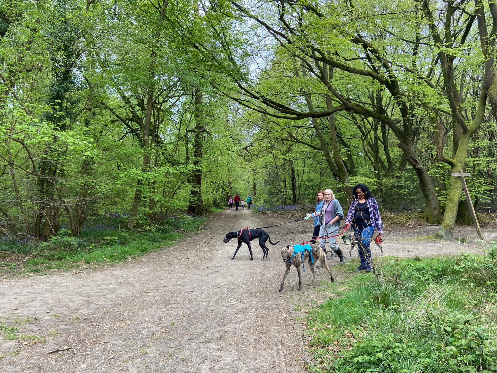
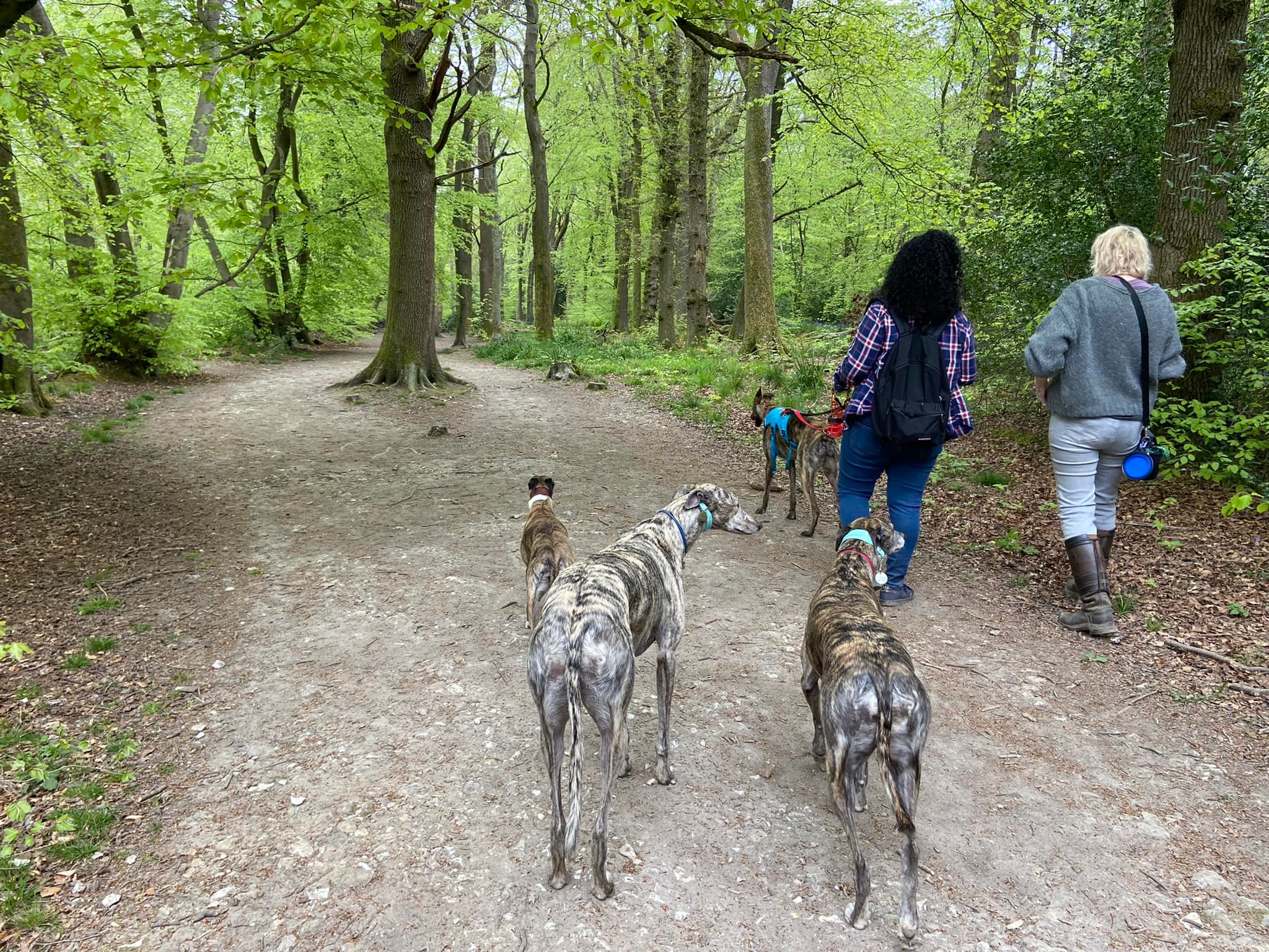
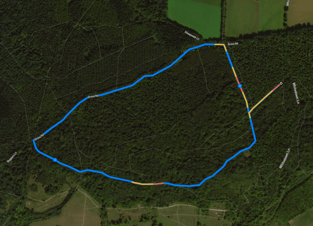
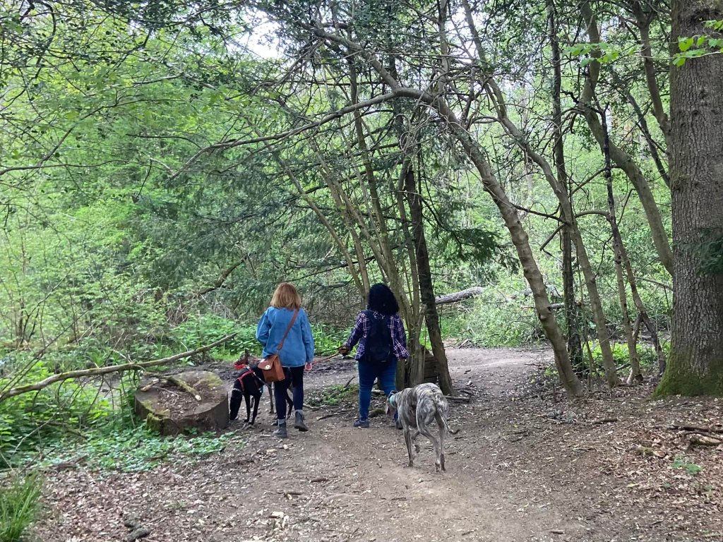
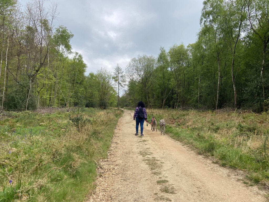
Here is a Footpath app route from the car park on Whitedown Lane. Also on AllTrails. This is a really easy walk, which loops through woodland on very clear paths.
Length: approximately 2.2 miles/3.6 km
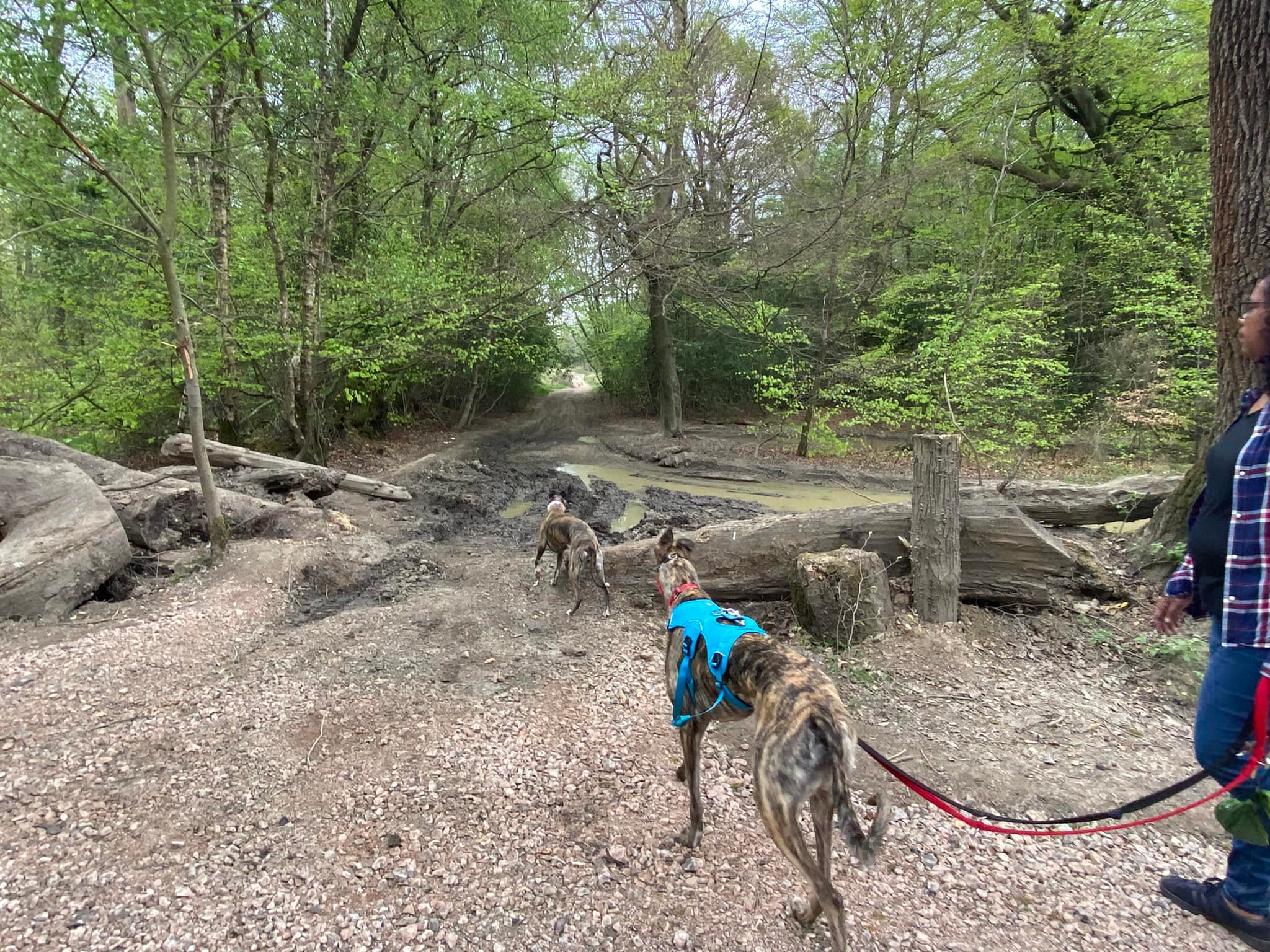
Terrain: This is a flat walk on very clear tracks/main paths. Can be a bit muddy sometimes.
Stiles/kissing gates? No stiles, no kissing gates
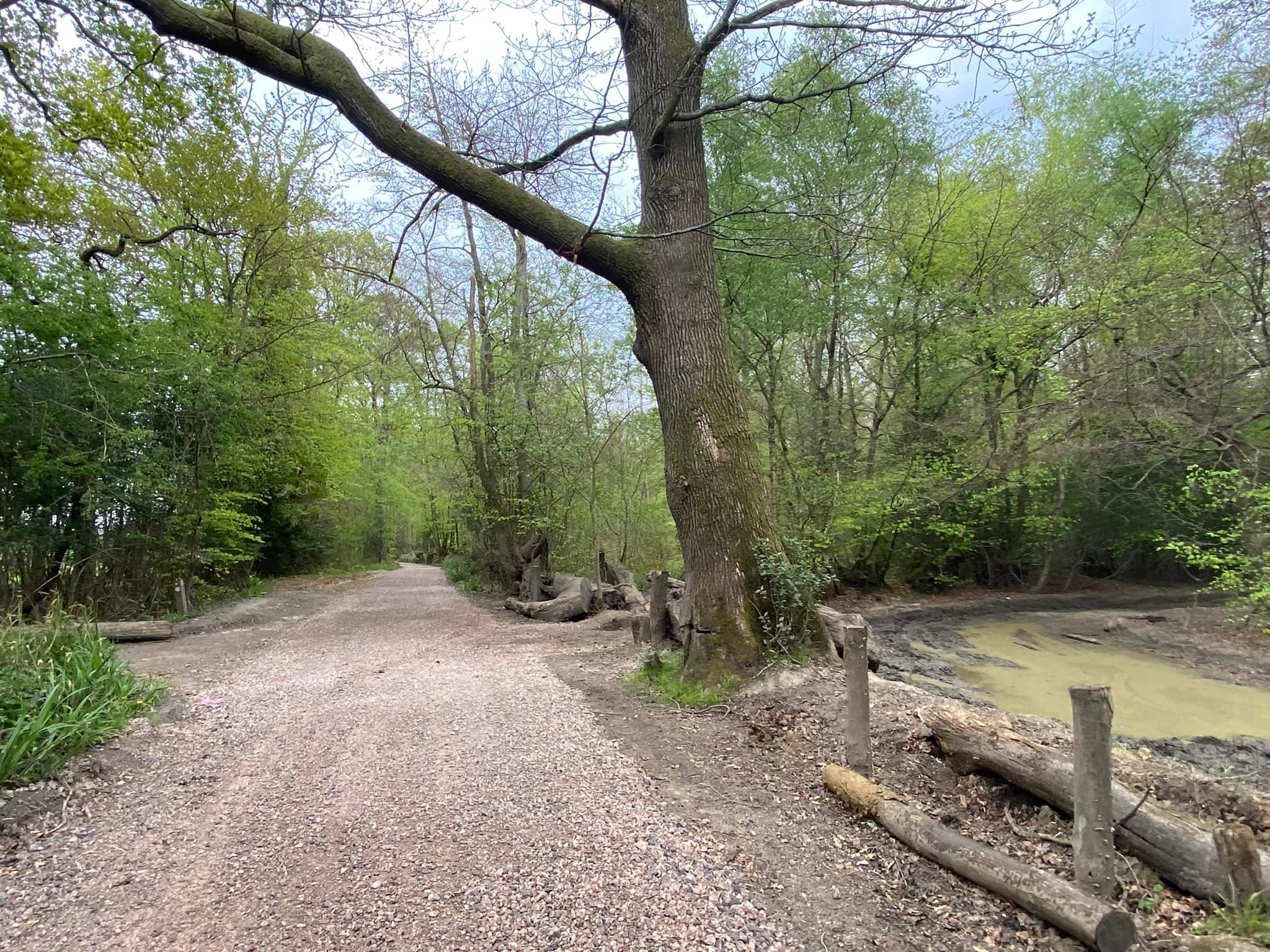
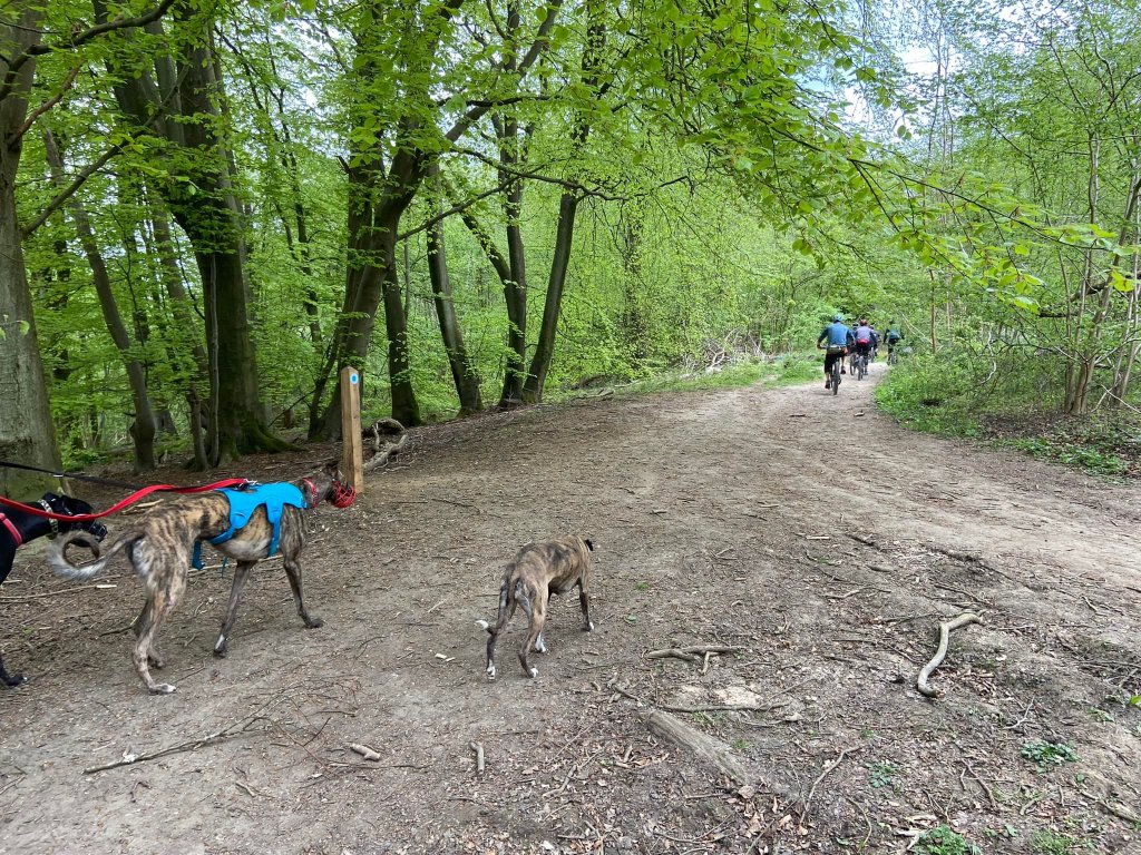
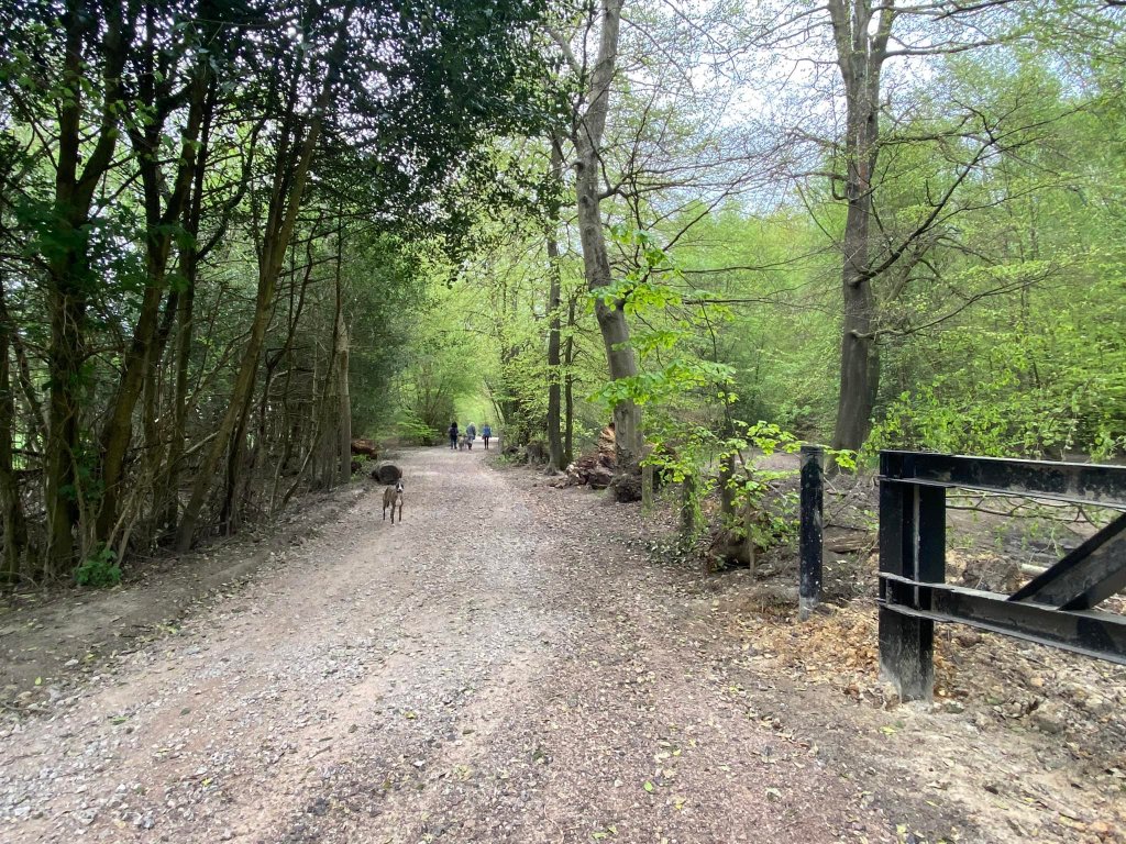
Take the path that runs away from the vehicle barrier at the rear of the car park. This bridleway was one of the old drove roads that cross the downs, along which which large flocks of sheep which grazed on the hillside pastures below the woods would have been driven to their night folds or local markets. On your right you will see that the bank running alongside the path is topped with a line of old twisted beech trees. This is a good example of a boundary bank, when parcels of land for timber production were separated from the grazing areas and drove roads. It’s estimated to date from the 1700s.
At the junction of paths by the finger post, turn left. At the time of writing this post (May 2022), the finger post had fallen and was propped against a tree.
At the end turn right in front of the massive pile of logs.

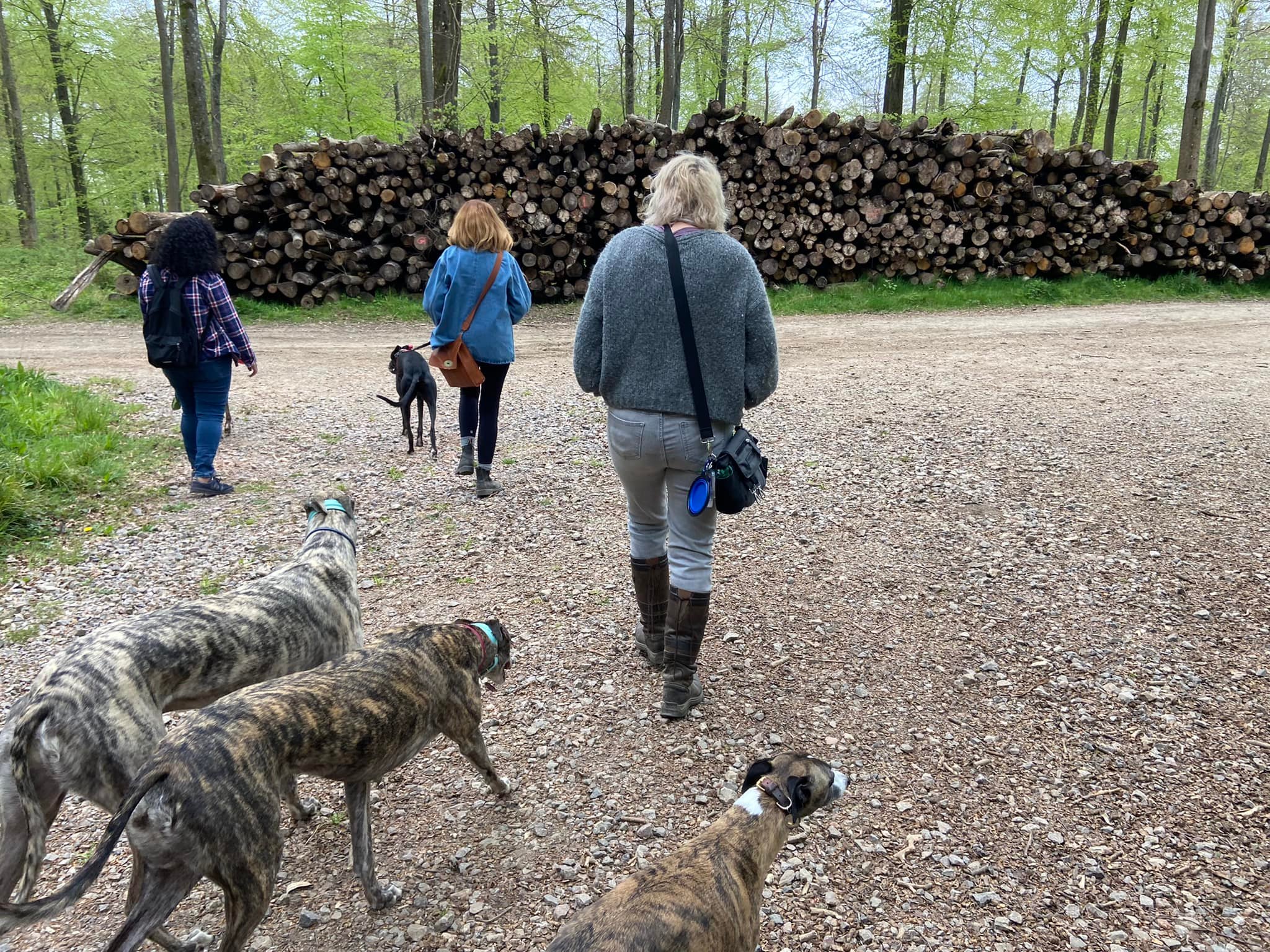
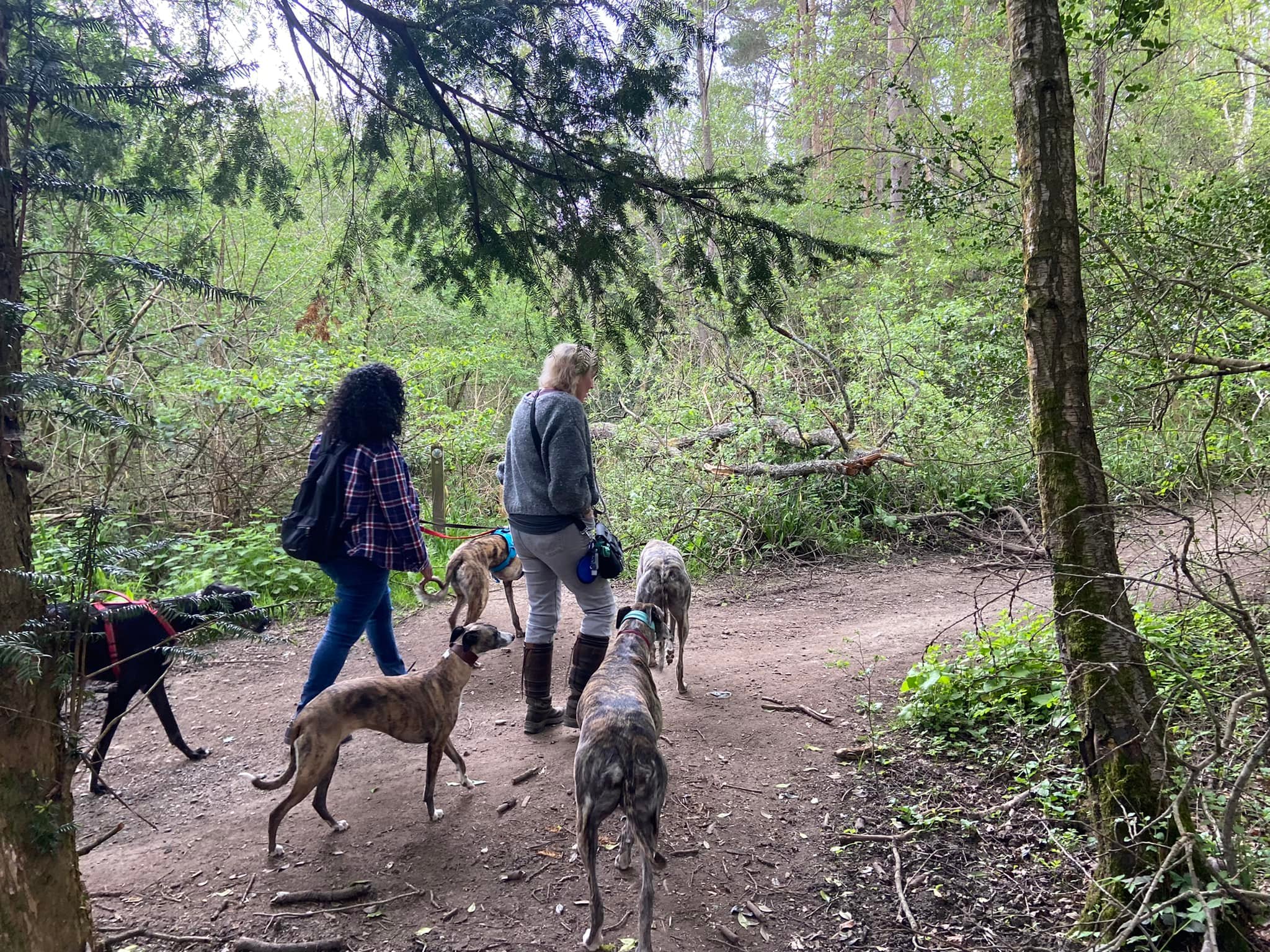
You’ll pass another big log pile on the right and then there will be green railings on the left, behind which there is a grass mound and a water reservoir owned by the East Surrey Water Company. Follow this for quite a long way through what is called Dunley Wood, which is part of the privately-owned Wotton Estate. There are a few thin fallen trees across the path here and there.
When you reach the marker post on the left, continue straight ahead. And straight ahead again at the marker on the right shortly after this.
Stay on this main path and it will curve to the right and come to a junction of paths. Take the middle option and continue ahead/round to the left into coppiced woodland.
Then go straight over at the cross paths by the finger post.

Towards the end of this path, it goes gently down slope and over some tree roots. At the cross paths, ignore the little path ahead that has a small marker post and turn right. (Incidentally, if you turn left here and walk straight for about half a mile, you’ll come to the viewpoint on this walk at Netley Heath).
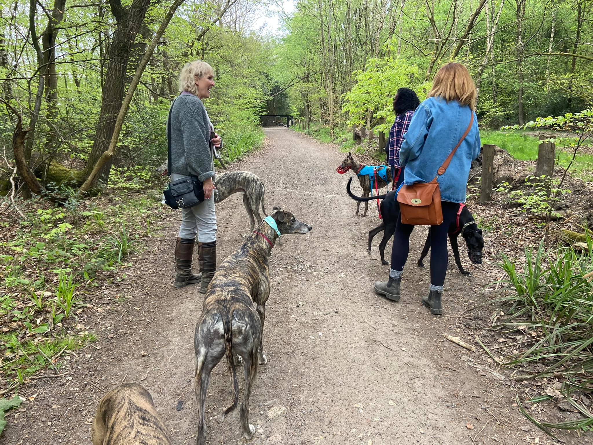
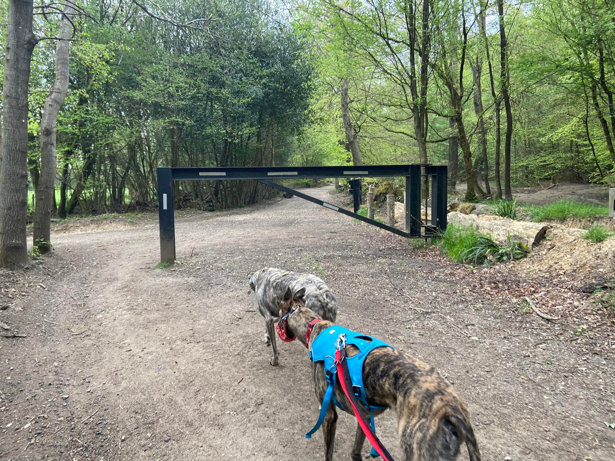
This track is called Drove Road. Follow it for a long way, ignoring any little paths off it. Eventually you’ll pass a wide clearing to the right of the path and then arrive at a black vehicle barrier.
After the barrier, continue ahead, ignoring the track to the left. Pass another black vehicle barrier on the right and then a big chunk of fallen tree. There’s a field through the trees to the left.
You’re not on this path for very long when you come to a cross paths next to a really big tree on the right. Turn right immediately after the tree, passing a thick post and going over a bit of fallen trunk onto the track. It can be quite muddy at this corner.
After a very short way, it opens right out with grass and brambles lining either side of the path and the woods behind the grass.
Stay on this path, ignoring a fairly large one off to the right, until you come to a large cross paths where there is a finger post (at time of writing, it had fallen and was leaning against a tree). This is the first cross paths you came to after leaving the car park at the start of the walk. Turn left here to return to the car park.
