Page contents
About
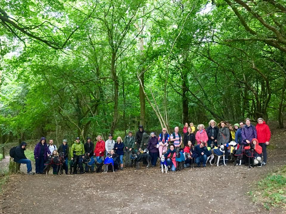
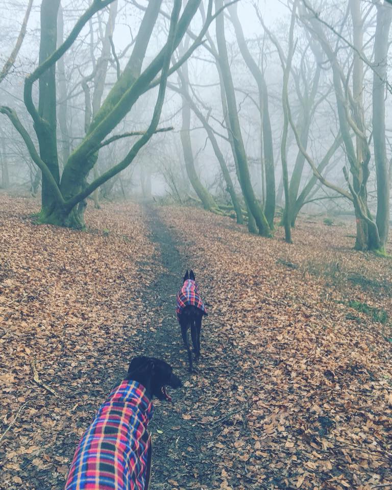
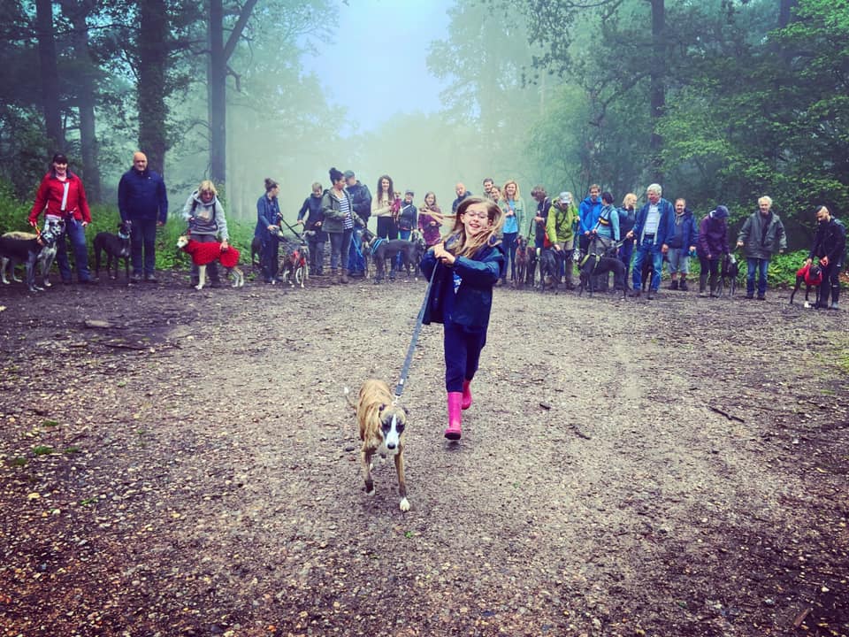
Gallery
Instagram reel showing here
Parking
Poo bins?
Self-guided walk
About
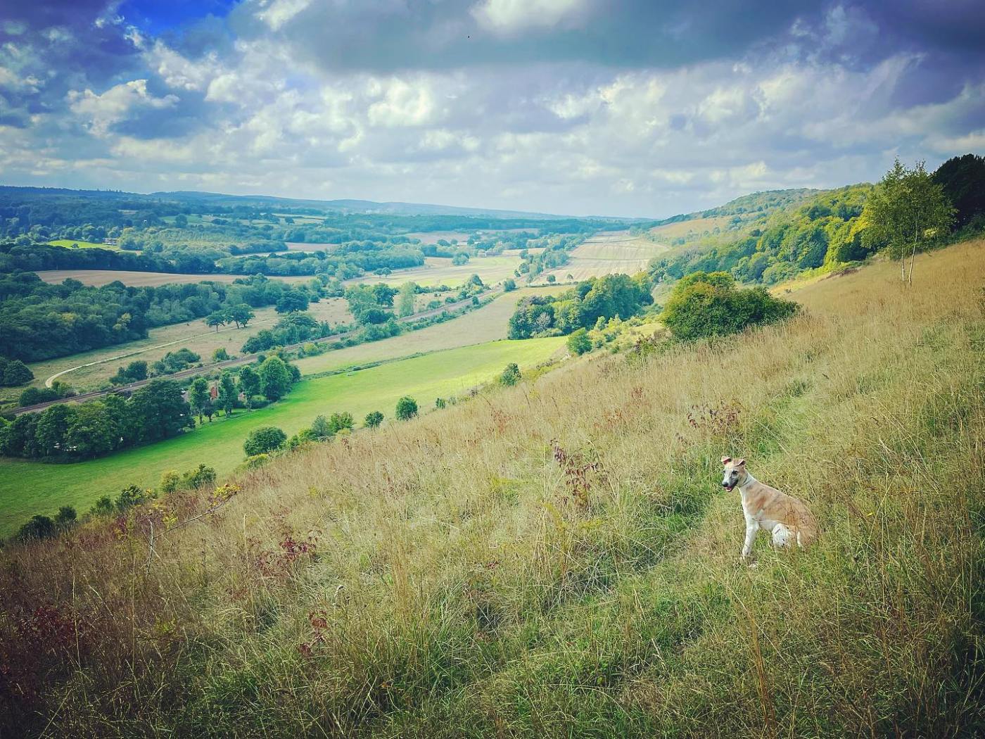
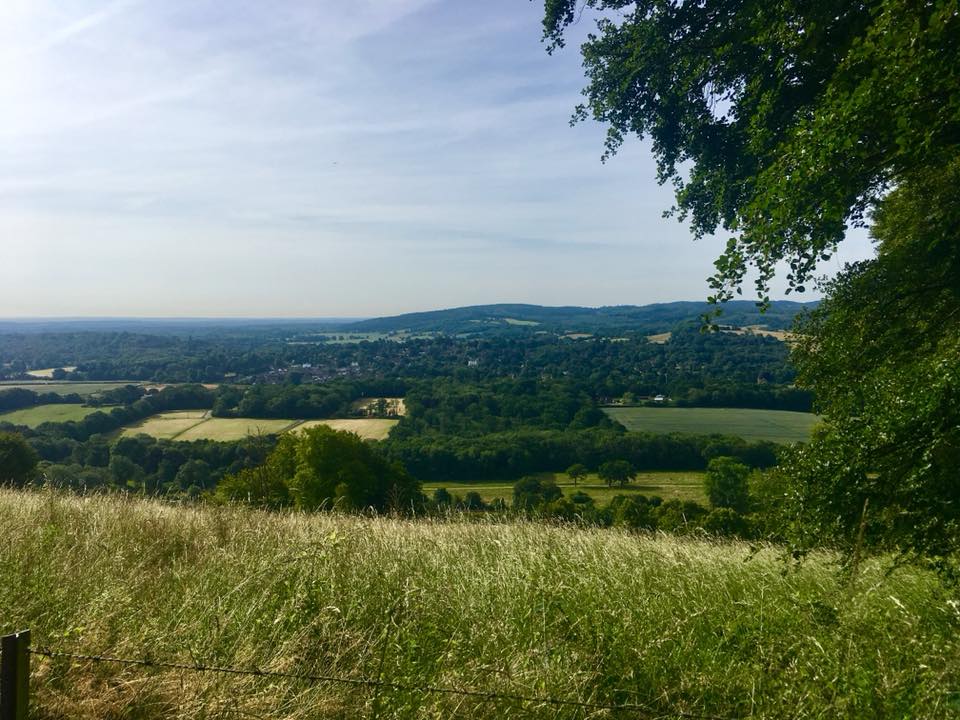
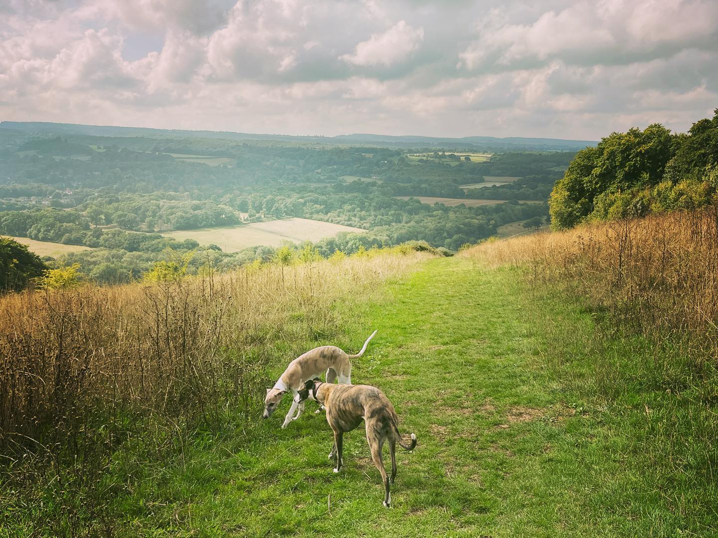
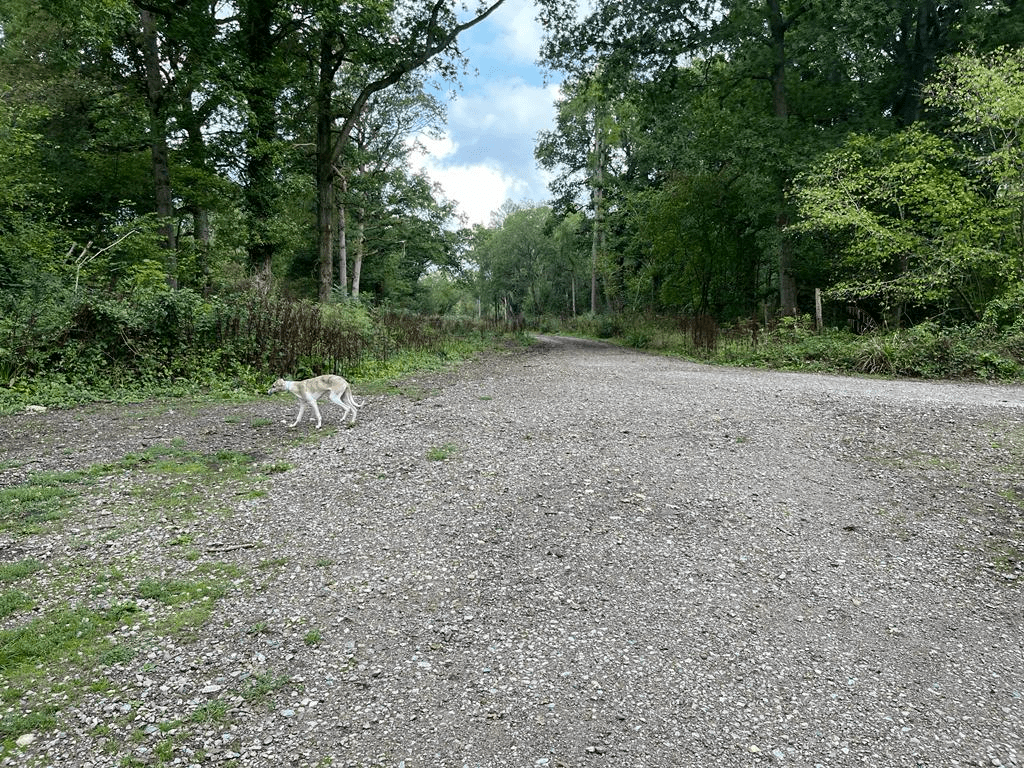
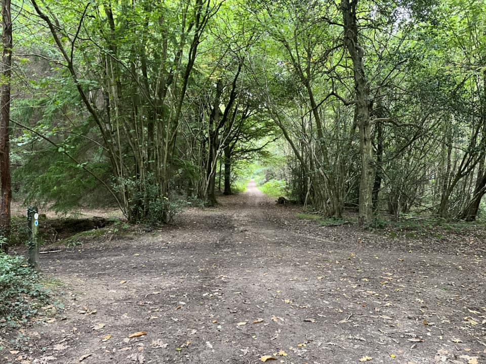
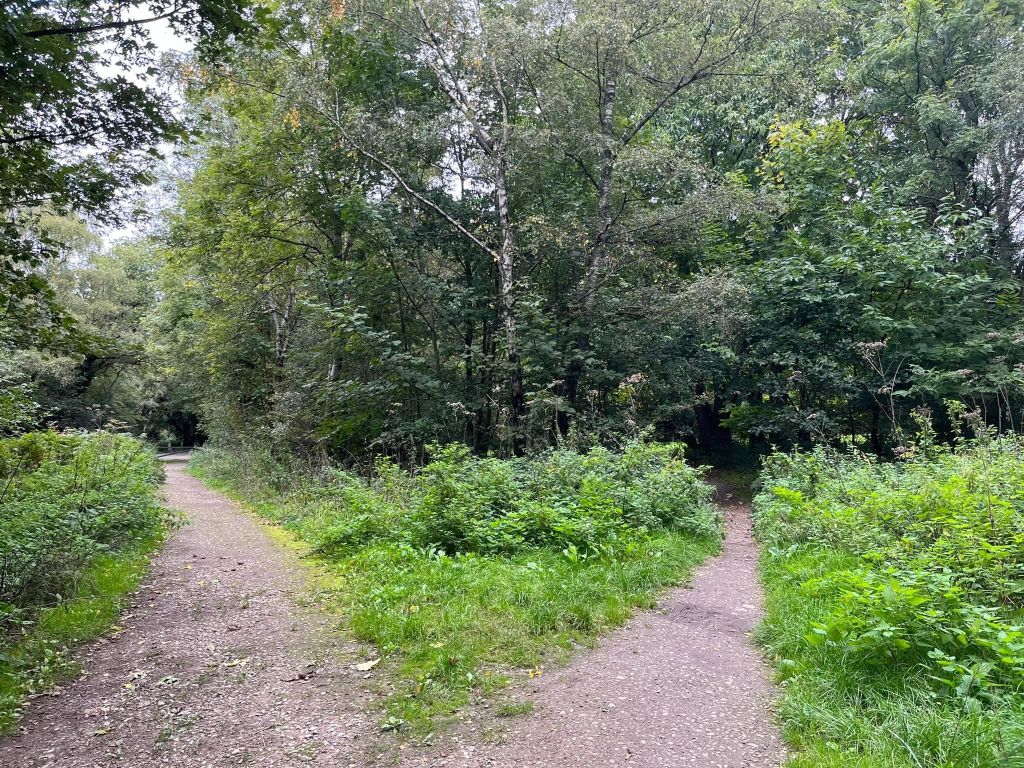
Ranmore Common is an area of wooded former common land on the North Downs immediately northwest of Dorking, which has the North Downs Way running along its hillside. It is adjacent to a large area of chalk grassland known as Denbies Hillside, named after a 17th century farmer called John Denbies and now home to the Denbies Wine Estate.
Much of the Ranmore Common area is now owned by the National Trust and some by the Woodland Trust.
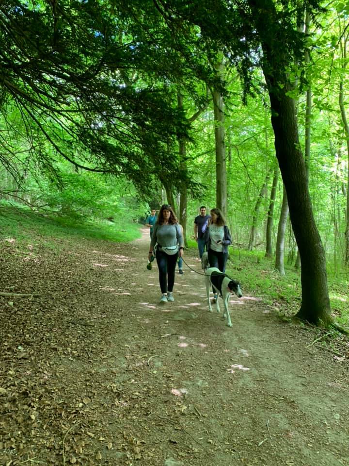
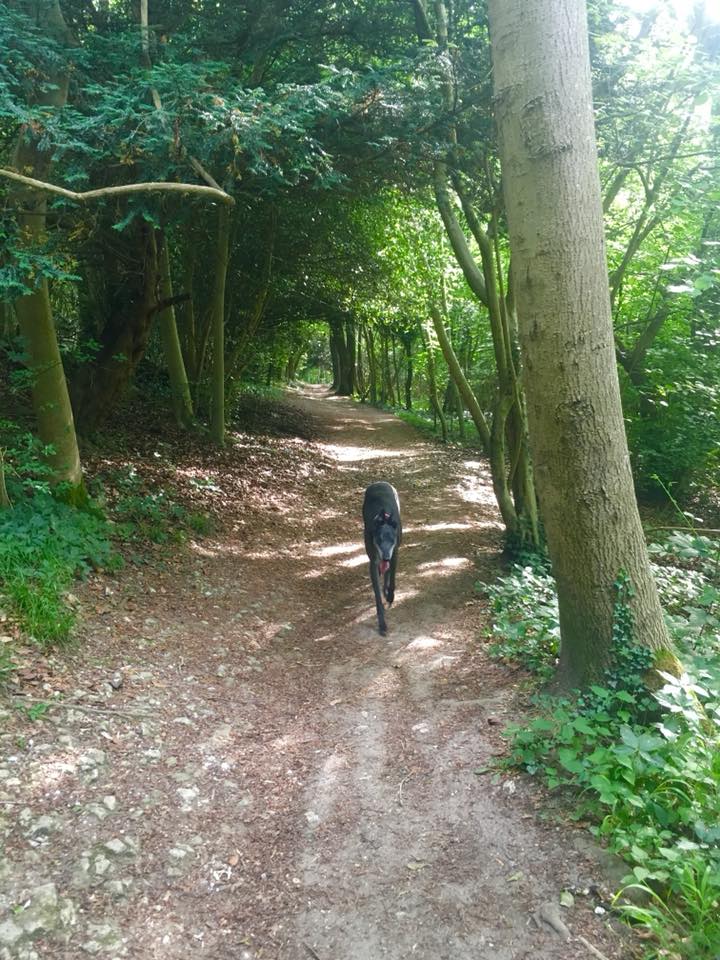
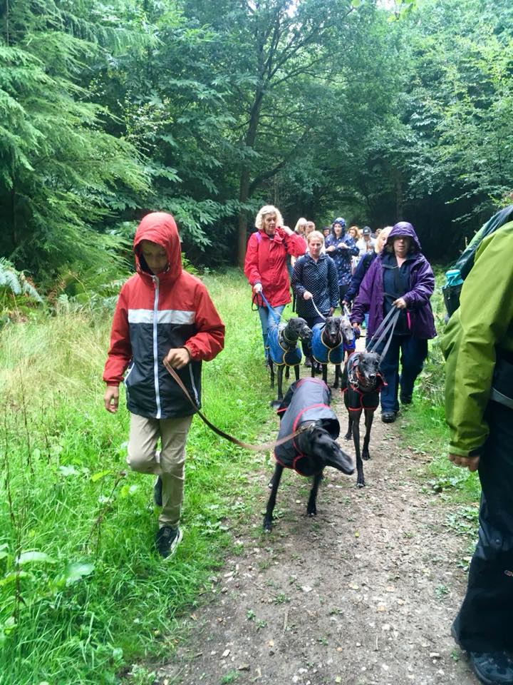
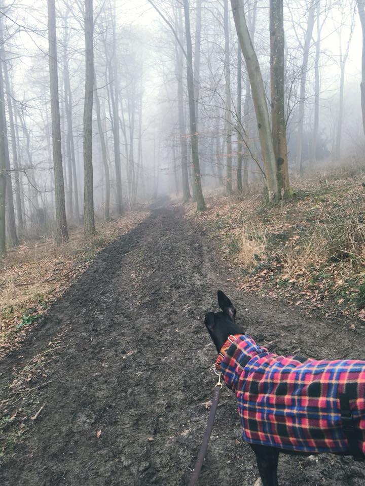
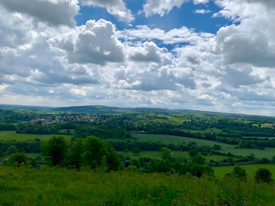
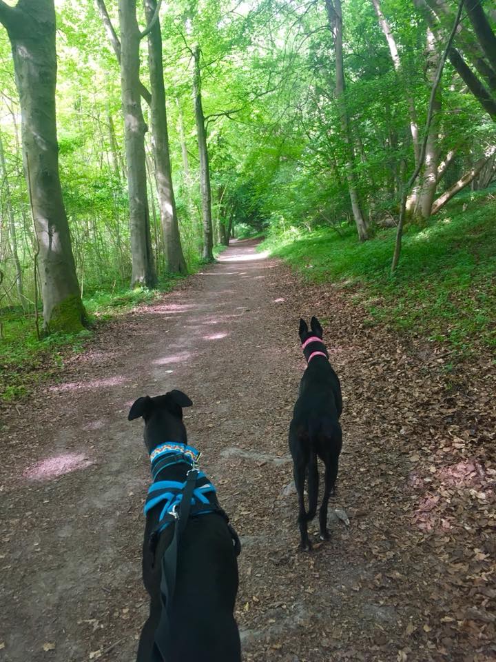
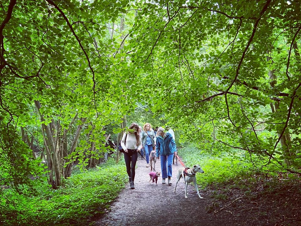
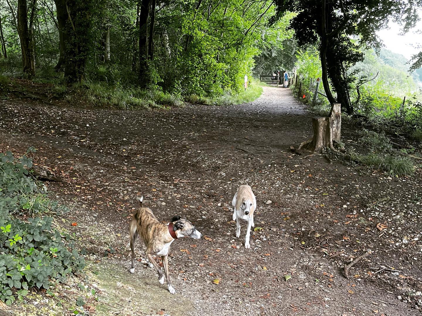
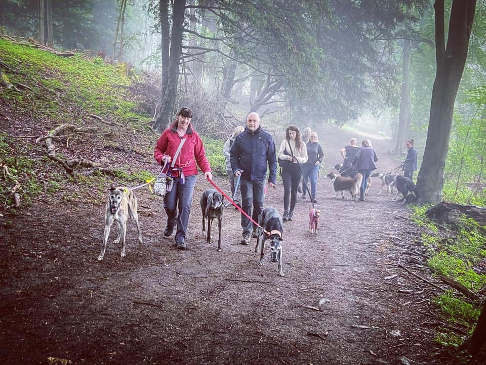
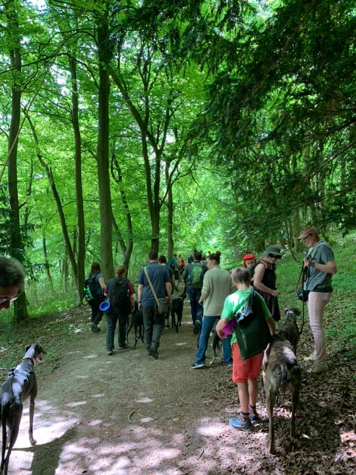
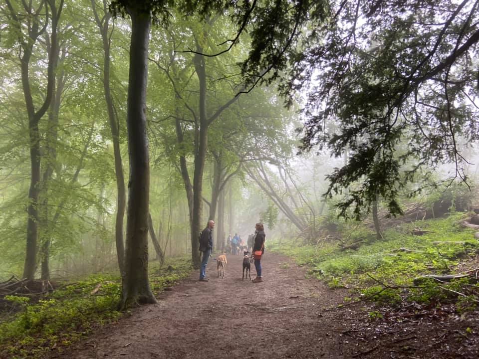
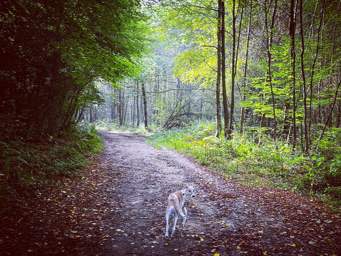
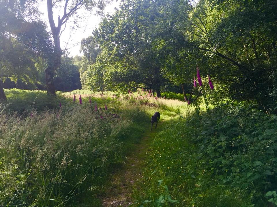
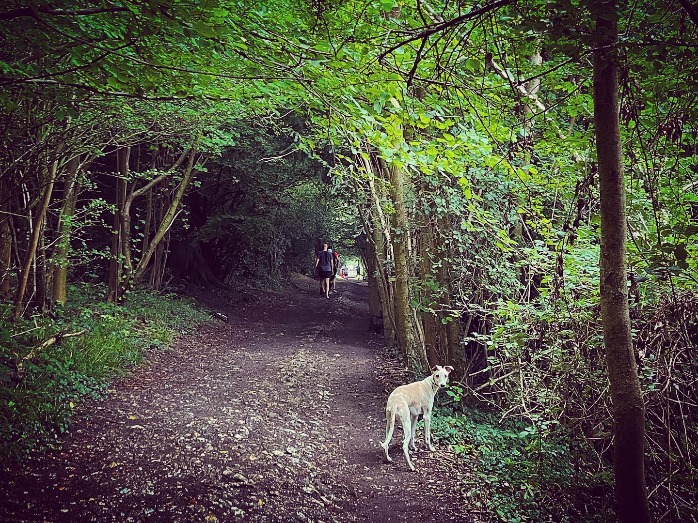
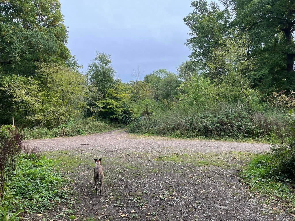
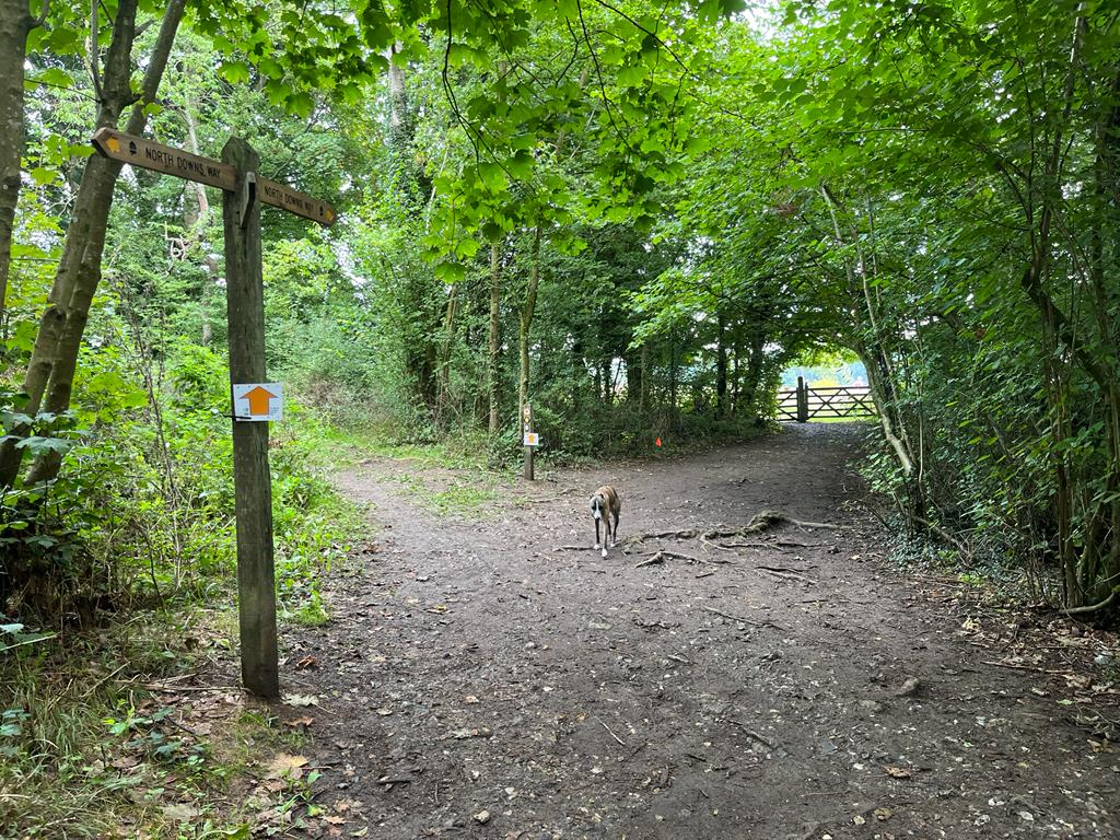
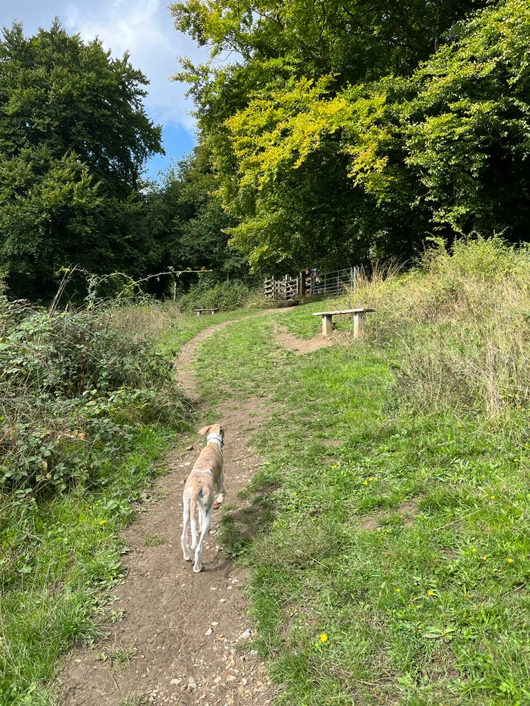
Gallery: What’s it like here?


Instagram reel showing here
Parking
Park in the free Ranmore Common West National Trust car park. It is a little further along the road from the East National Trust car park at Denbies Hillside, which you have to pay to use.
Poo bins?
At the car park.
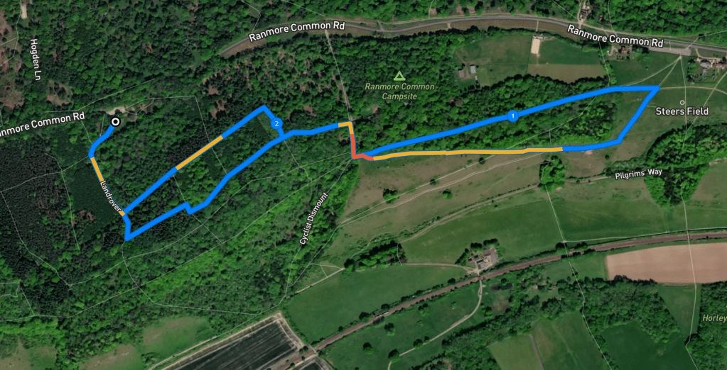
Self-guided walk
Here is a Footpath app route from the free NT West car park on Ranmore Common Road. Also on AllTrails. This walk passes through Ranmore Common woodland to the viewpoint at Denbies Hillside, loops down the slope and back through the grassland, before returning to the car park through the woods.
Length: approximately 2.5 miles/4 km
Terrain: There are long flat sections of route but also a couple of pretty steep slopes, including one that is fairly long on grass – and can be tricky when it’s wet. Not for anyone who isn’t steady on their feet. The slopes can be slippery in wet weather.
Stiles/kissing gates? No stiles, one kissing gate
Park in the NT West car park and, with the road behind you, head past the donation point and information board into the picnic area at the back of the car park.

This path heads diagonally to the right across the picnic area. It passes under the shade of a big tree then through nettles and brings you to a main stony path – turn left onto this.
Go straight over at the cross paths where there is a blue arrow marker post pointing ahead. The path bends round to the right and, after a little way, take the next path on the left.
Follow this path all the way to a wide cross paths with a stony track and a green sign for the Scouts’ campsite in front of you. Turn right.

The path goes down a slope and comes to a cross paths where there is a small tree stump to the left of the path and a sign post for the North Downs Way to the right. Turn left here and if you look to your right, the woods give way to a stunning view.

The path passes a kissing gate, which leads into a field on the right, and then goes through a gap in a fence ahead, which has a yellow arrow marker circle on it.

At the next cross paths, where there is a sign post on the left, continue straight ahead and through a wooden gate into Steer’s Field.
Once in the field, take the right hand fork. Pass a log bench on the left and, at the next bench (dedicated to John and Diana Hargreaves) just a little way further on, turn right and take the path that heads diagonally back on yourself down the hillside. It’s gets quite steep.
Presently, that steep path arrives at a wooden gate. Go through this and continue to follow the path to the right and along the contour of the hillside.
At the cross paths, where there are steps down to the left, continue straight over and take the right-hand fork, which ascends quite gently.
Keep to the right along the fence line and pass a bench at what I can only describe as “a humpy bit”. Shortly after, you’ll pass another bench – just keep going. The slope does get a little bit steeper. Then it’ll bend up to the fence line at a metal gate with a wooden kissing gate next to it and benches either side of that. You may recognize where you are as you passed here earlier (and probably paused to admire the view when you did so).
Go through the kissing gate and turn left. Almost immediately, you’ll be back at the cross paths with the tree stump again. Turn right here and go up hill. Sorry, it’s quite steep but this is a very short slope! At the top of it, you’ll get to a wide open cross paths. Turn left.
Take the first path you come to that heads to the right into the trees. At the end of this path, turn left. Follow this path down to the cross paths by the marker post with the blue arrow – this will be on your left now.
Turn right at this junction and follow this path back to the picnic area and car park (taking the right hand fork just as you get there).

Leave a comment