
Page contents
About
Gallery
Instagram reel showing this place
Parking
Poo bins?
Self-guided walk
About
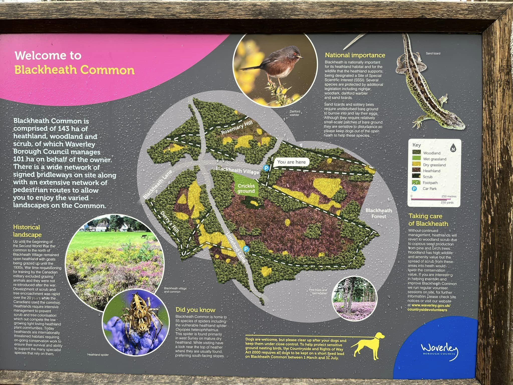
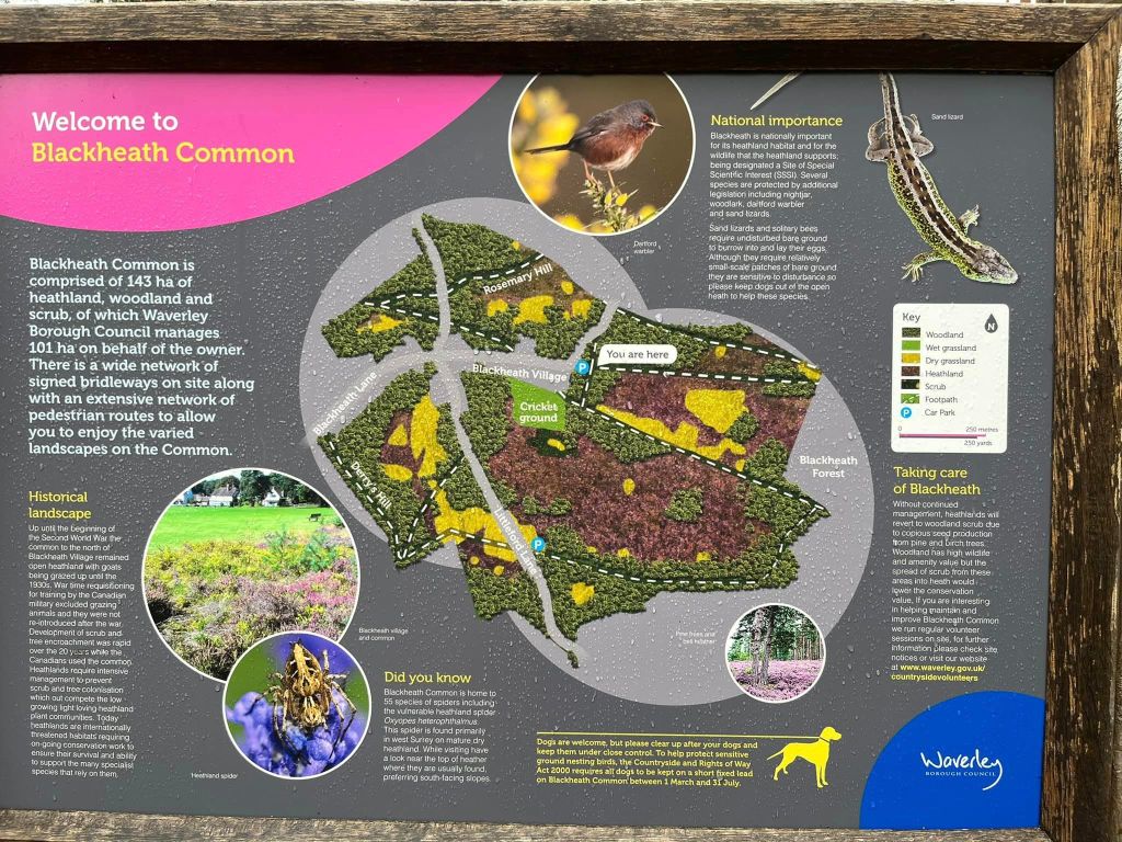
Blackheath Common is an area of 250 acres (100 ha) of heathland south-east of Guildford and near the village of Albury. It is part of the Surrey Hills Area of Outstanding Natural Beauty, and much is a designated Site of Special Scientific Interest. A large part of Blackheath Common is owned and managed by Waverley Borough Council whereas some is owned and managed by the National Trust, and the area to the north and east is owned and managed by Earl Percy Albury Estate belonging to the Duke of Northumberland.
There are many spellings for the village name of Blackheath going back as far as the Doomsday Book of 1086. The original name appears to have been Blacheatfeld. Feld is an Anglo Saxon word meaning field.
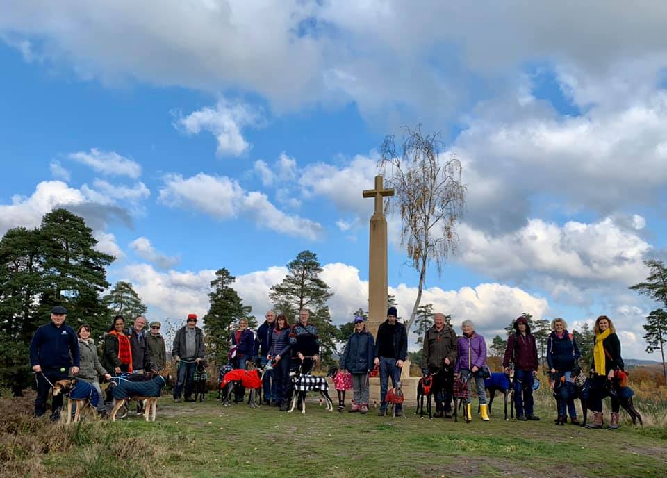
The Blackheath War Memorial Cross stands on Rosemary Hill, which is located in the north-east of the common. This memorial is not only significant in a commemorative role, it also marks a key location in this historic environment. It is widely believed that it was here that the Saxon Thanes would gather, pre-Domesday. These chiefs from the surrounding area would meet here on an open hilltop, known as a gathering of the Blackheath Hundred. While the walk described on this page doesn’t go past the cross, it is worth taking a wander over to it.
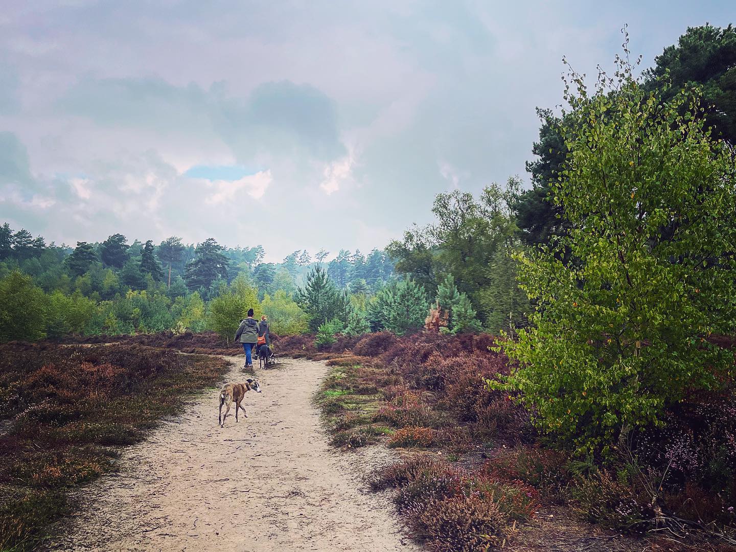
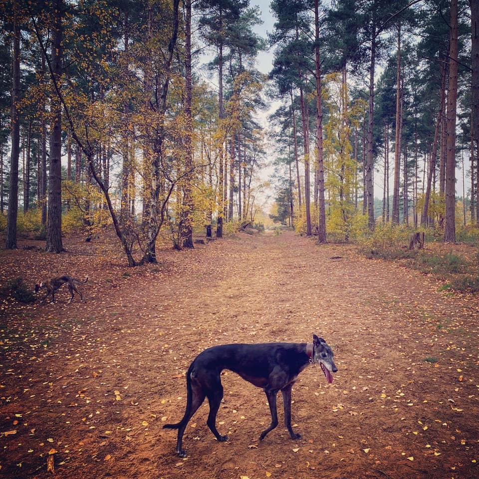
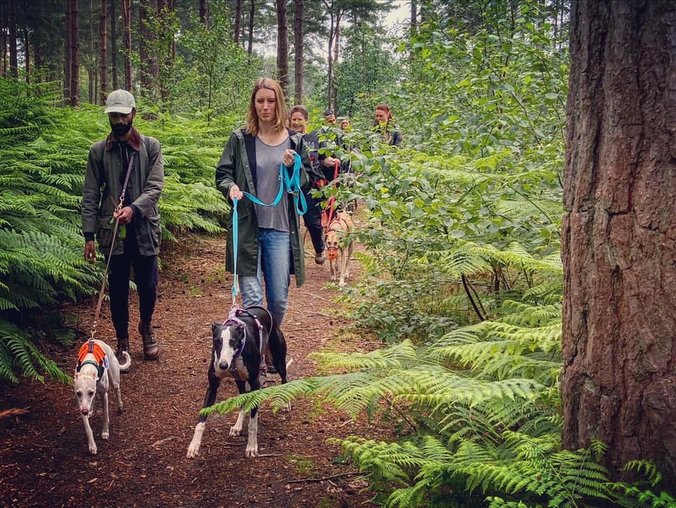
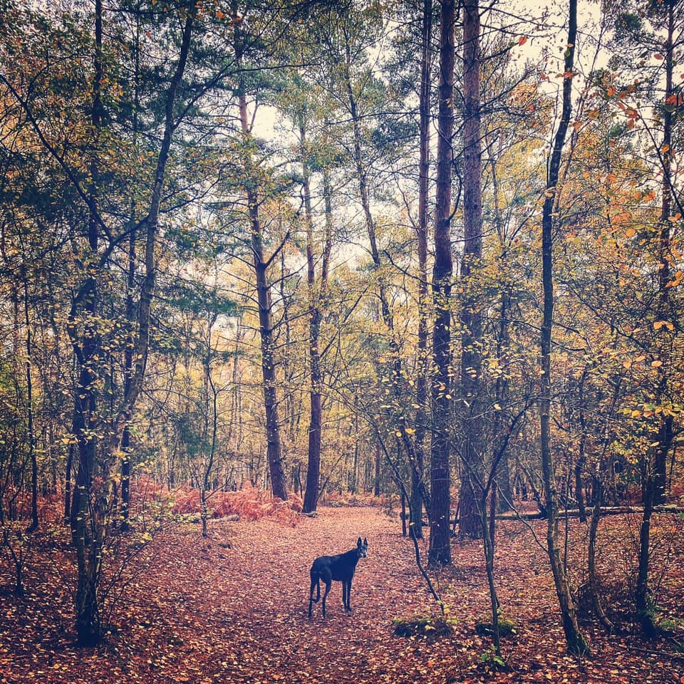
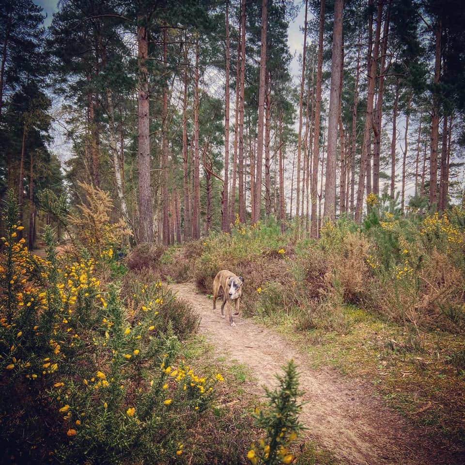
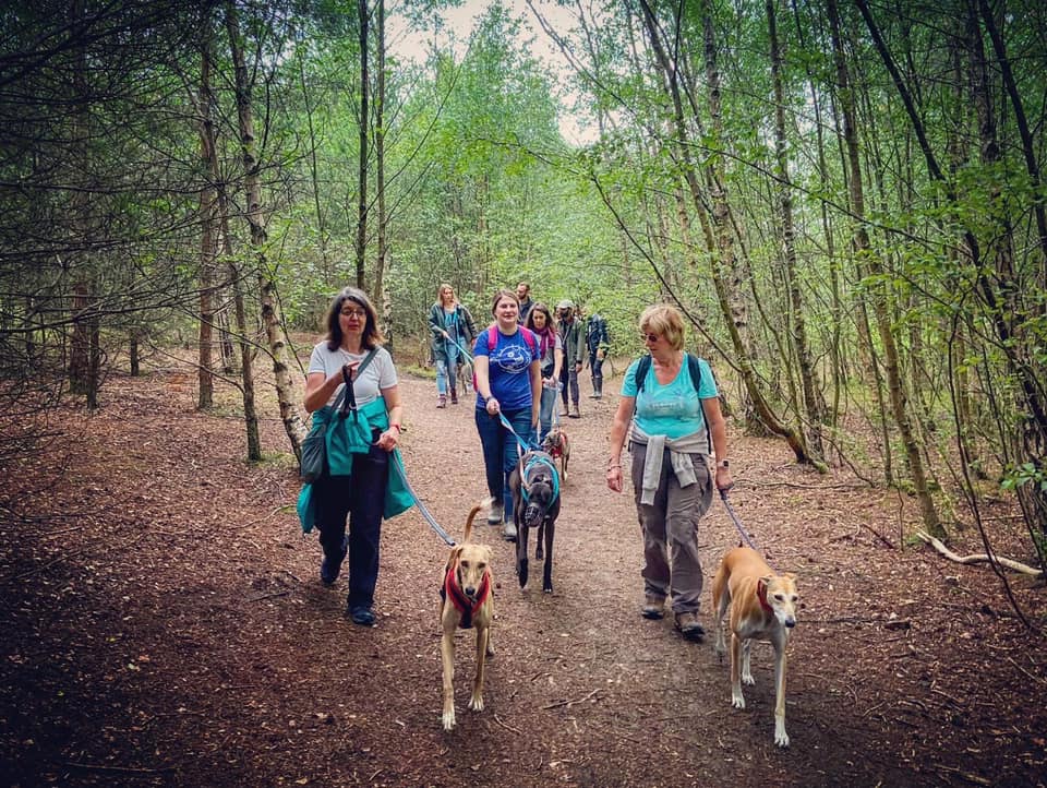
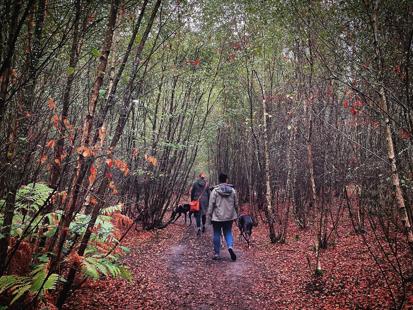
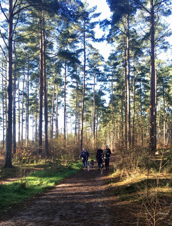
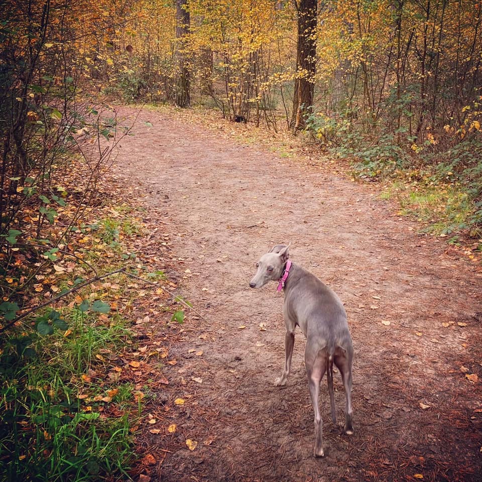
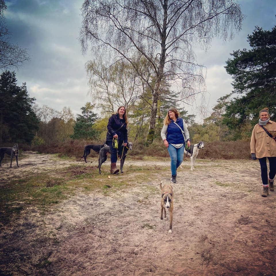
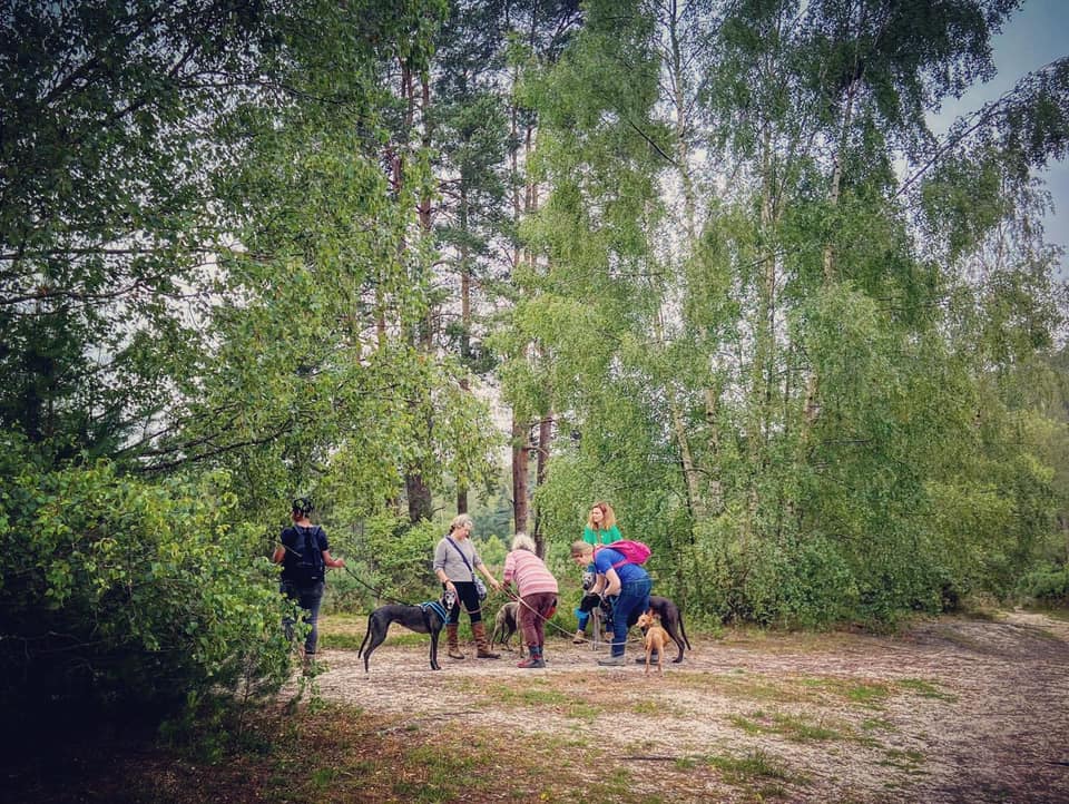
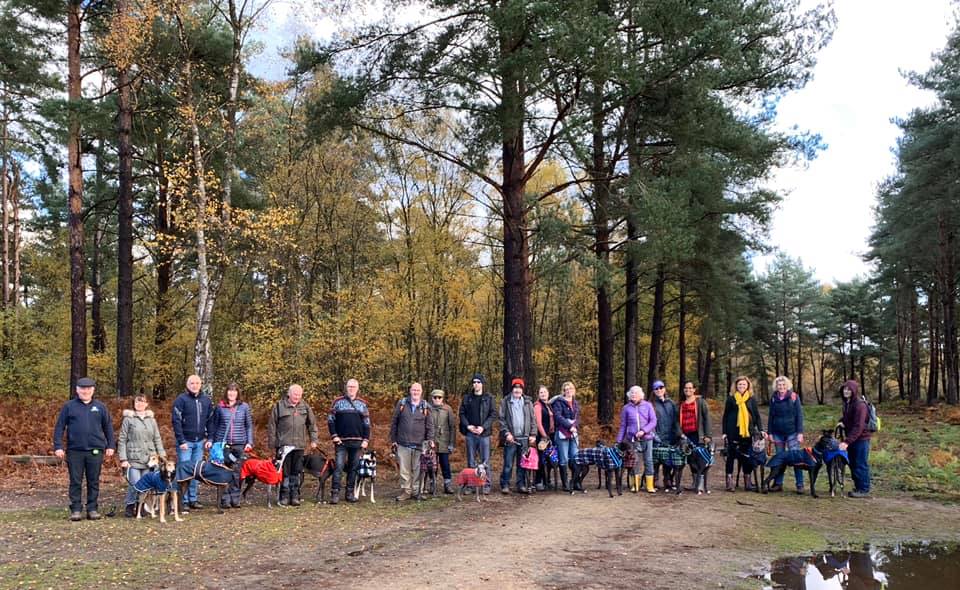
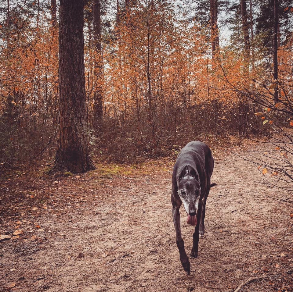
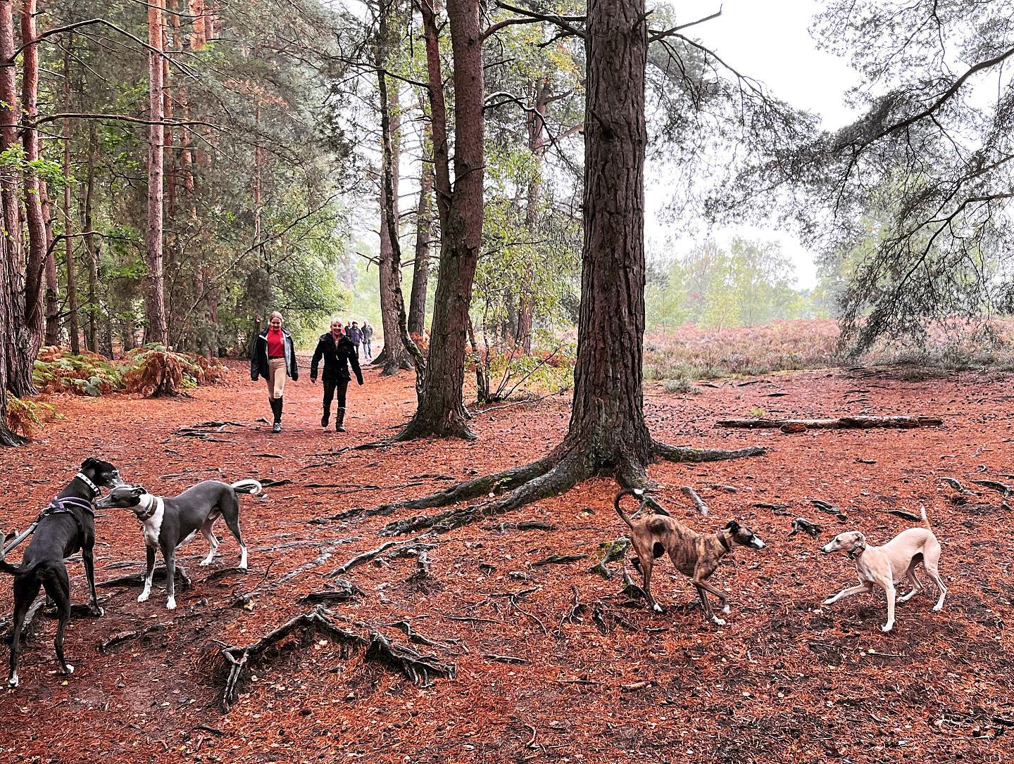
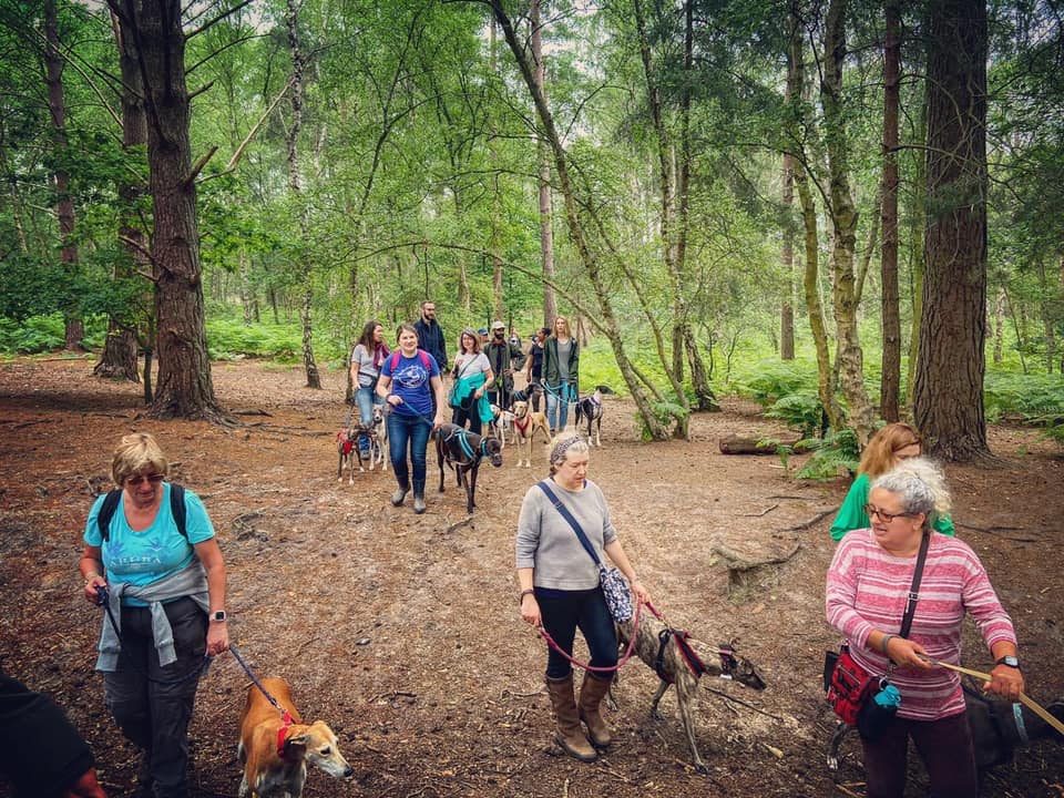
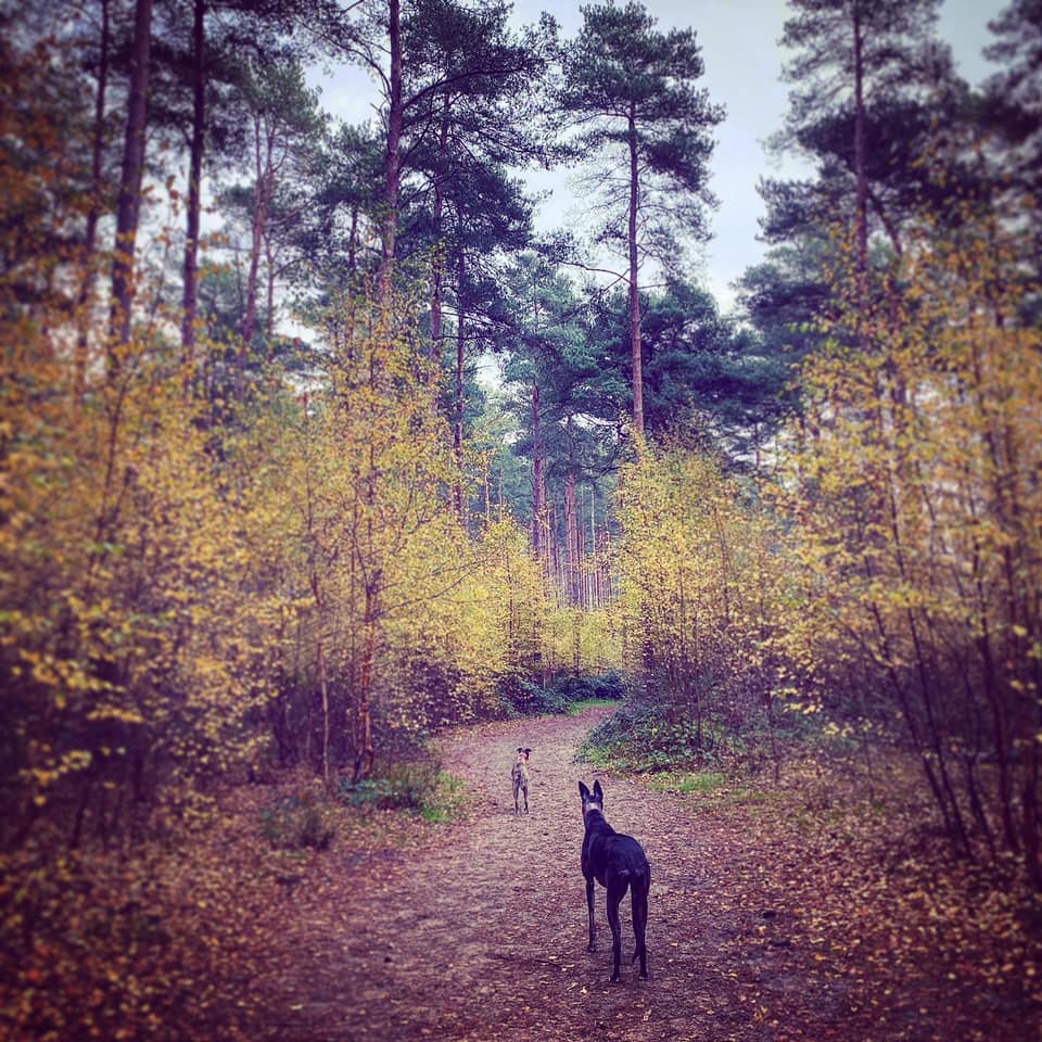
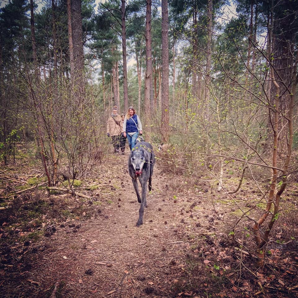
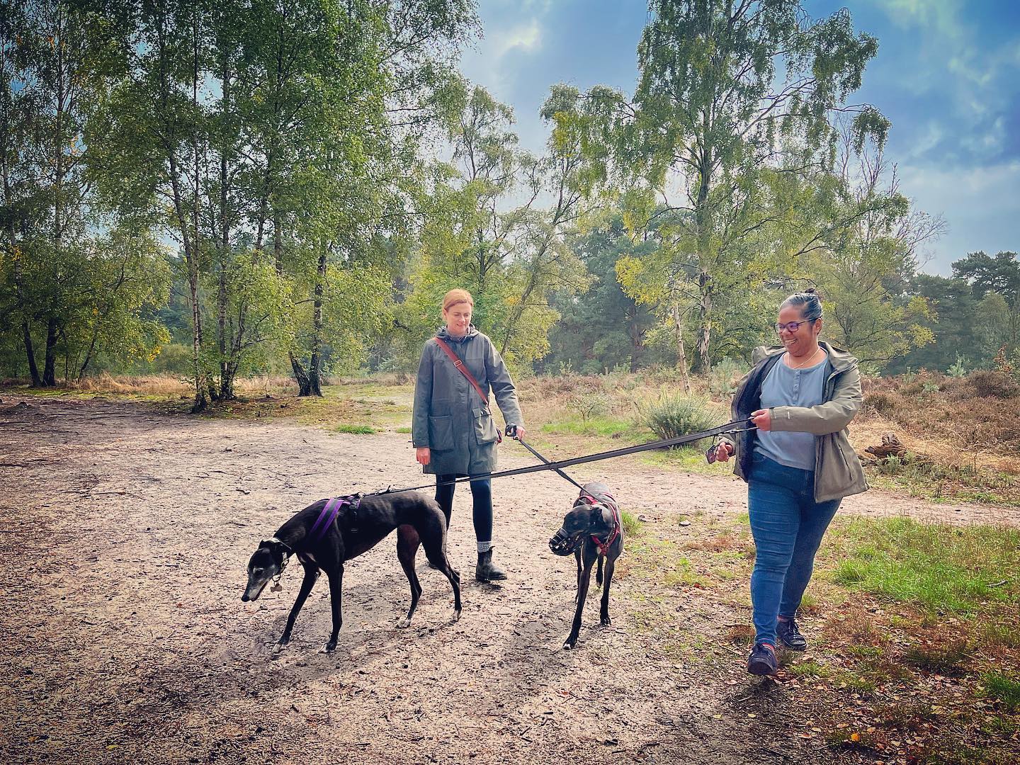
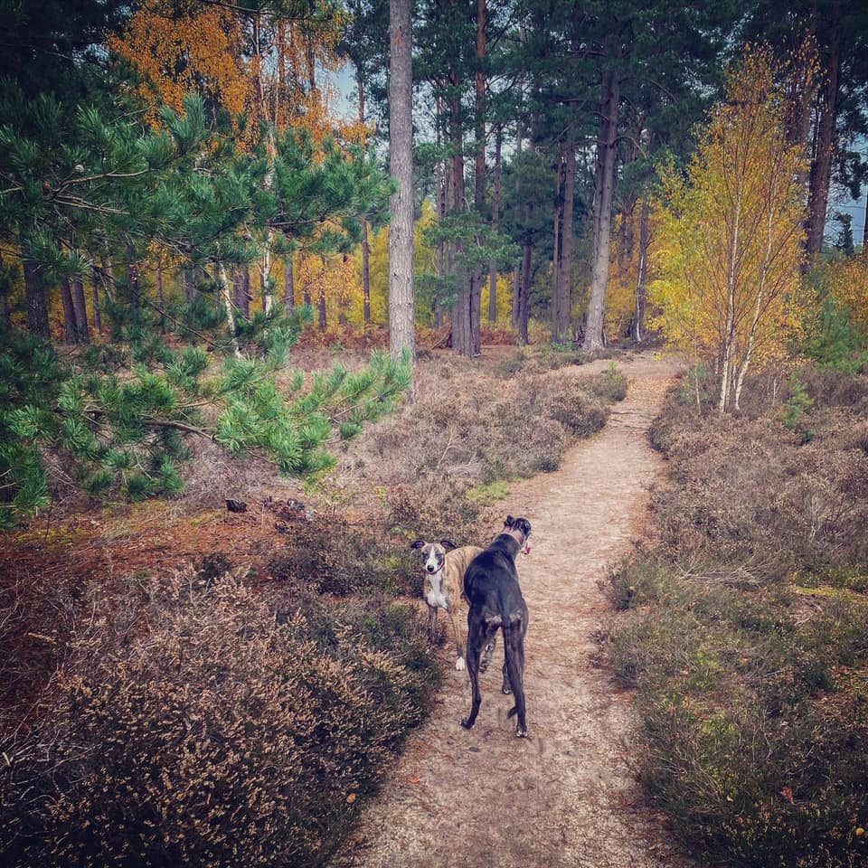
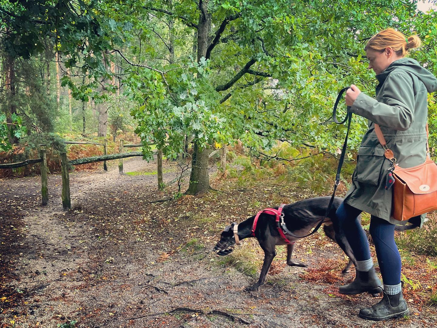
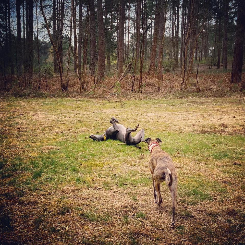
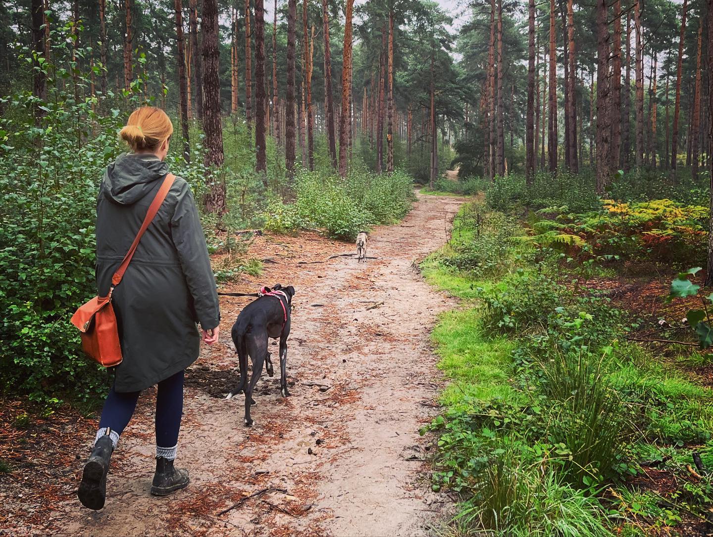
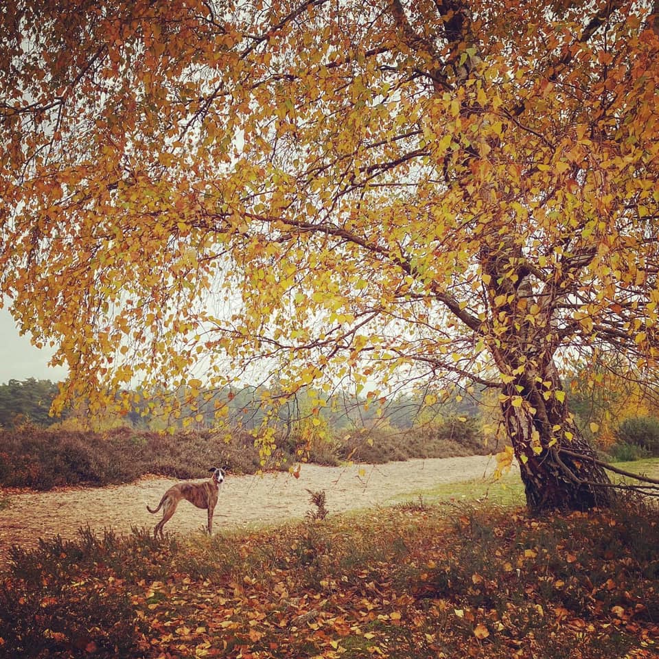
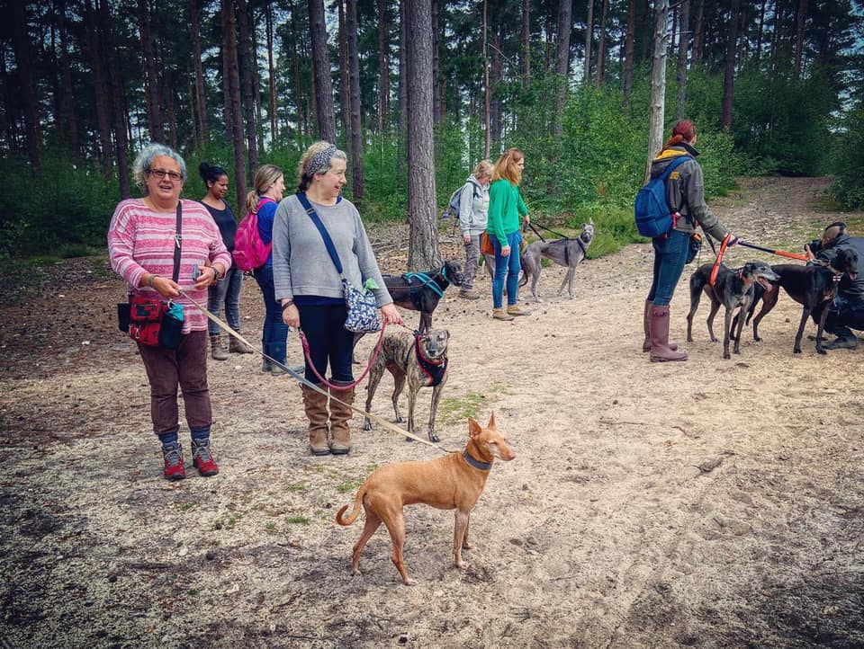
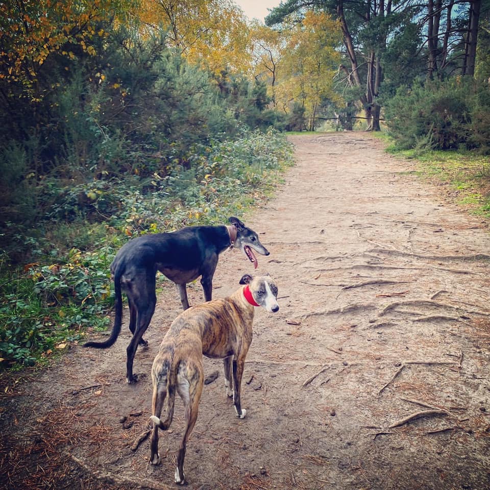
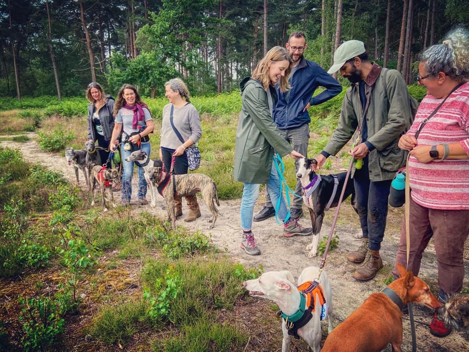
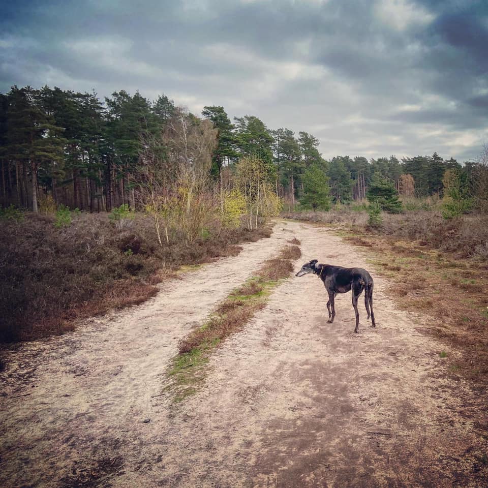
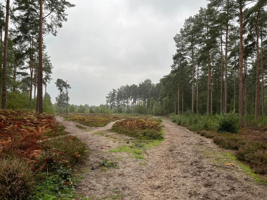
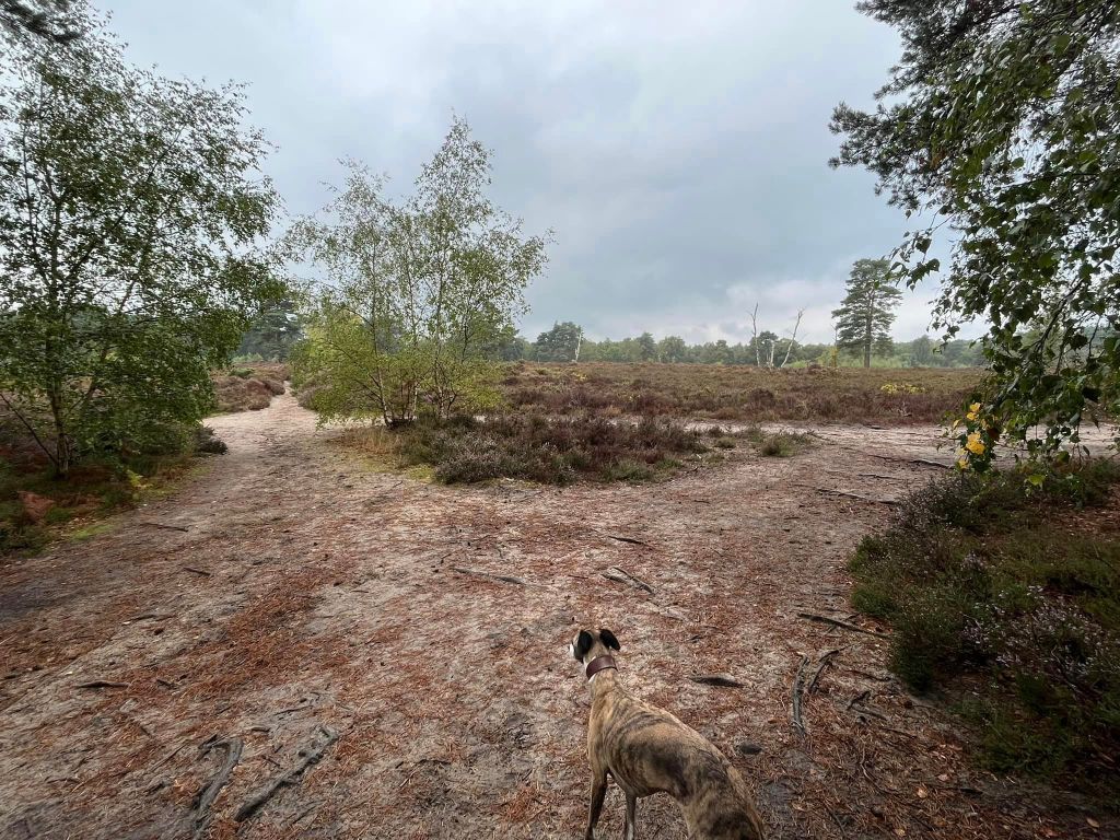
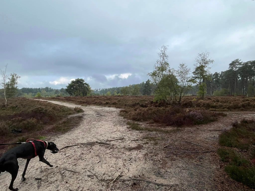
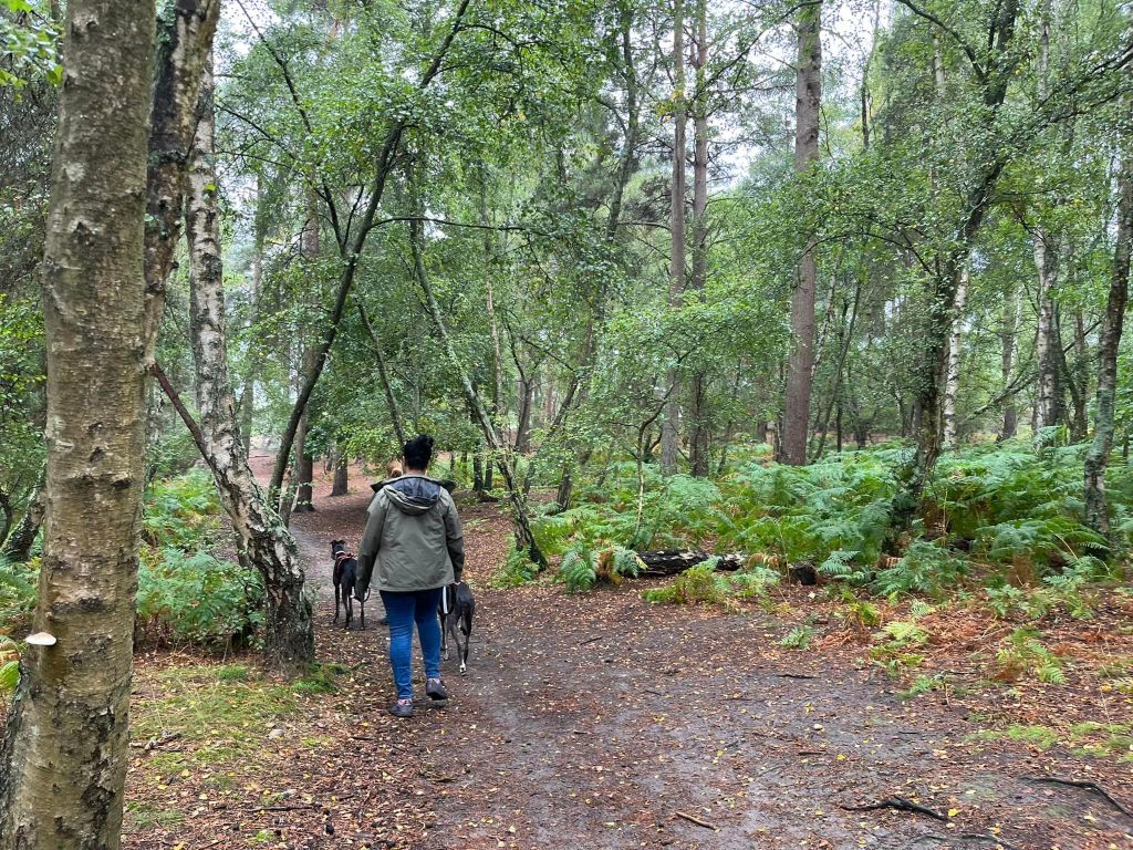
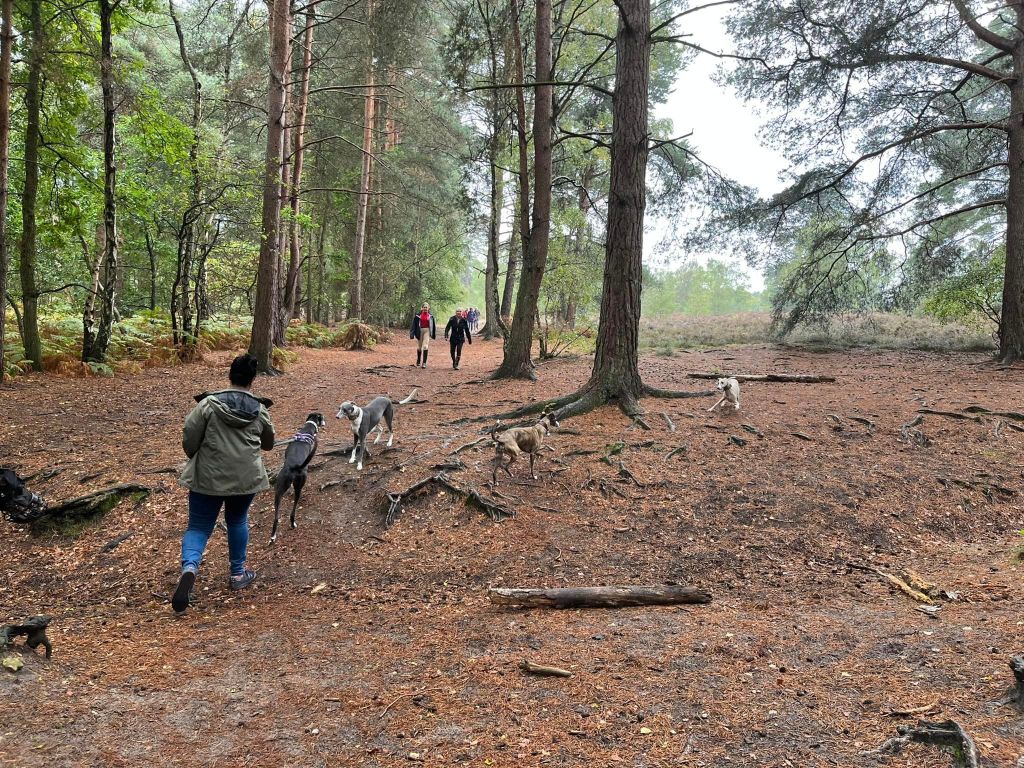
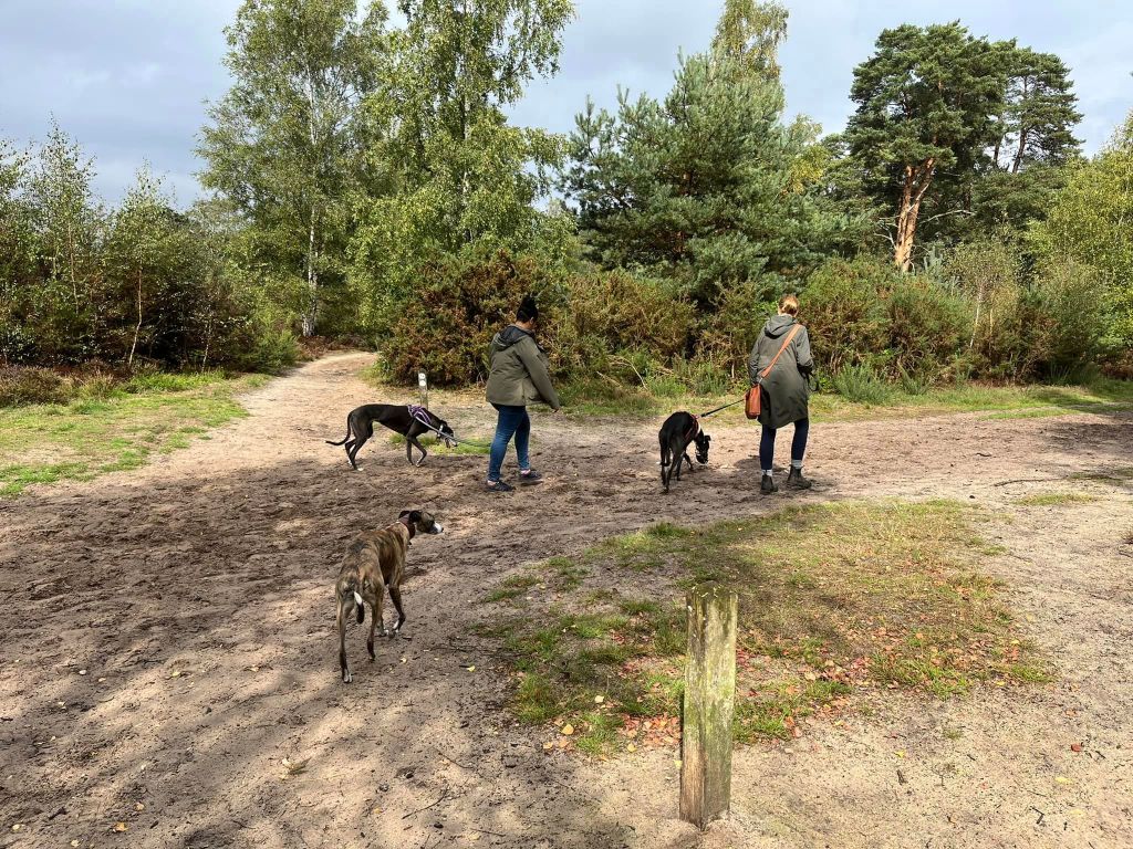
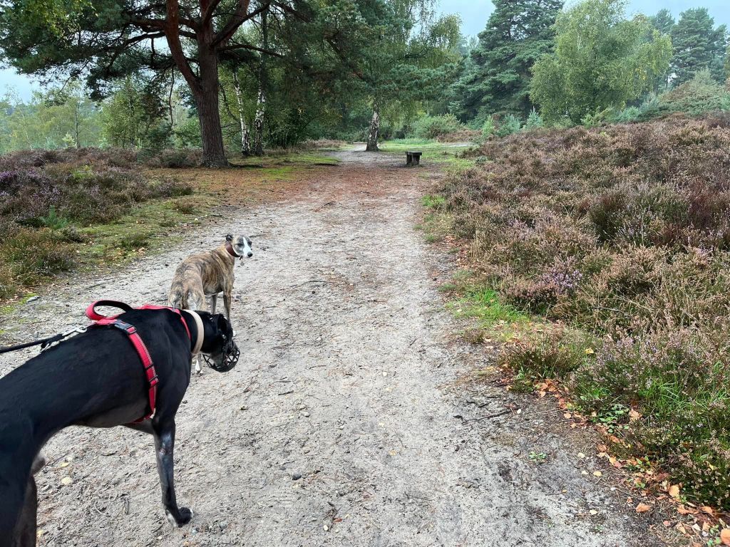
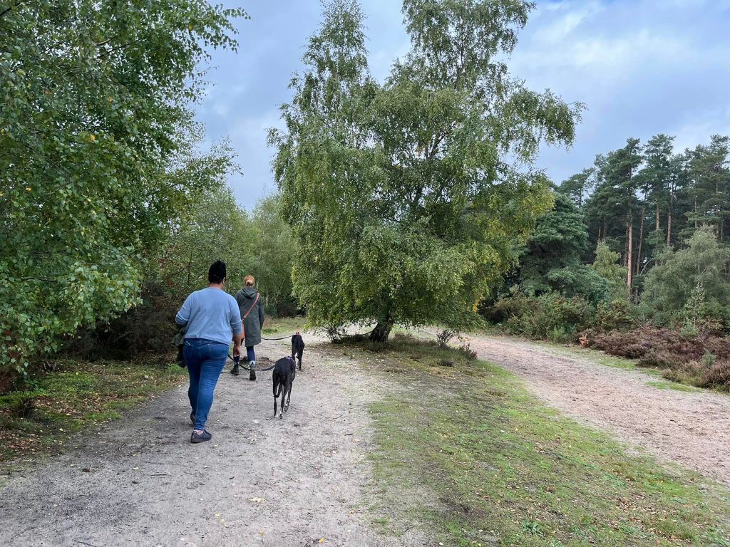
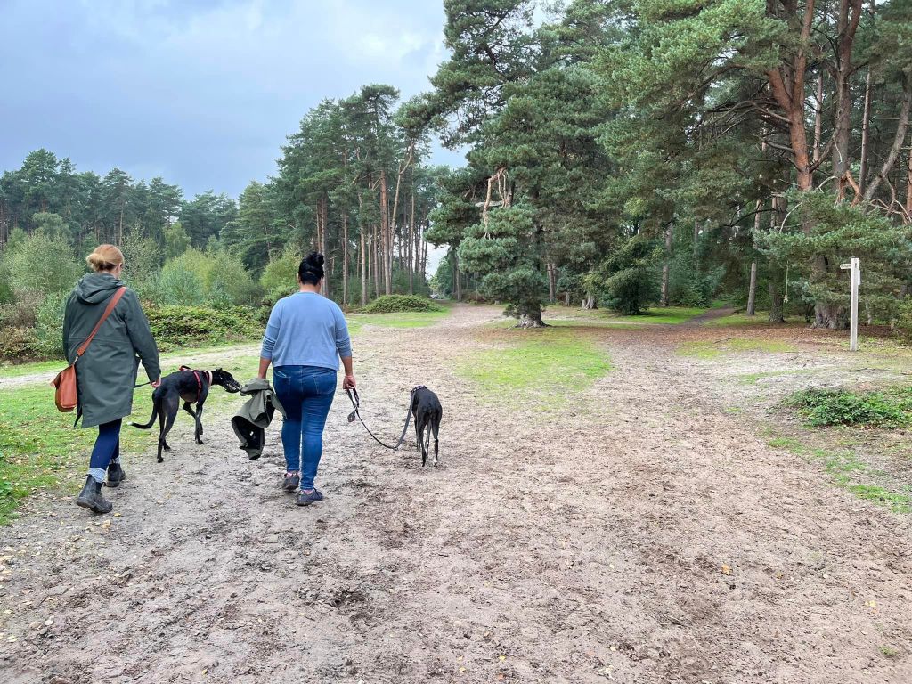
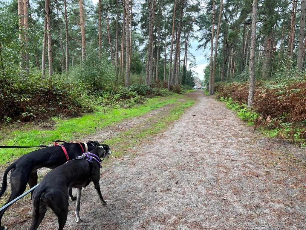
Gallery: What’s it like here?


Instagram reel showing this place
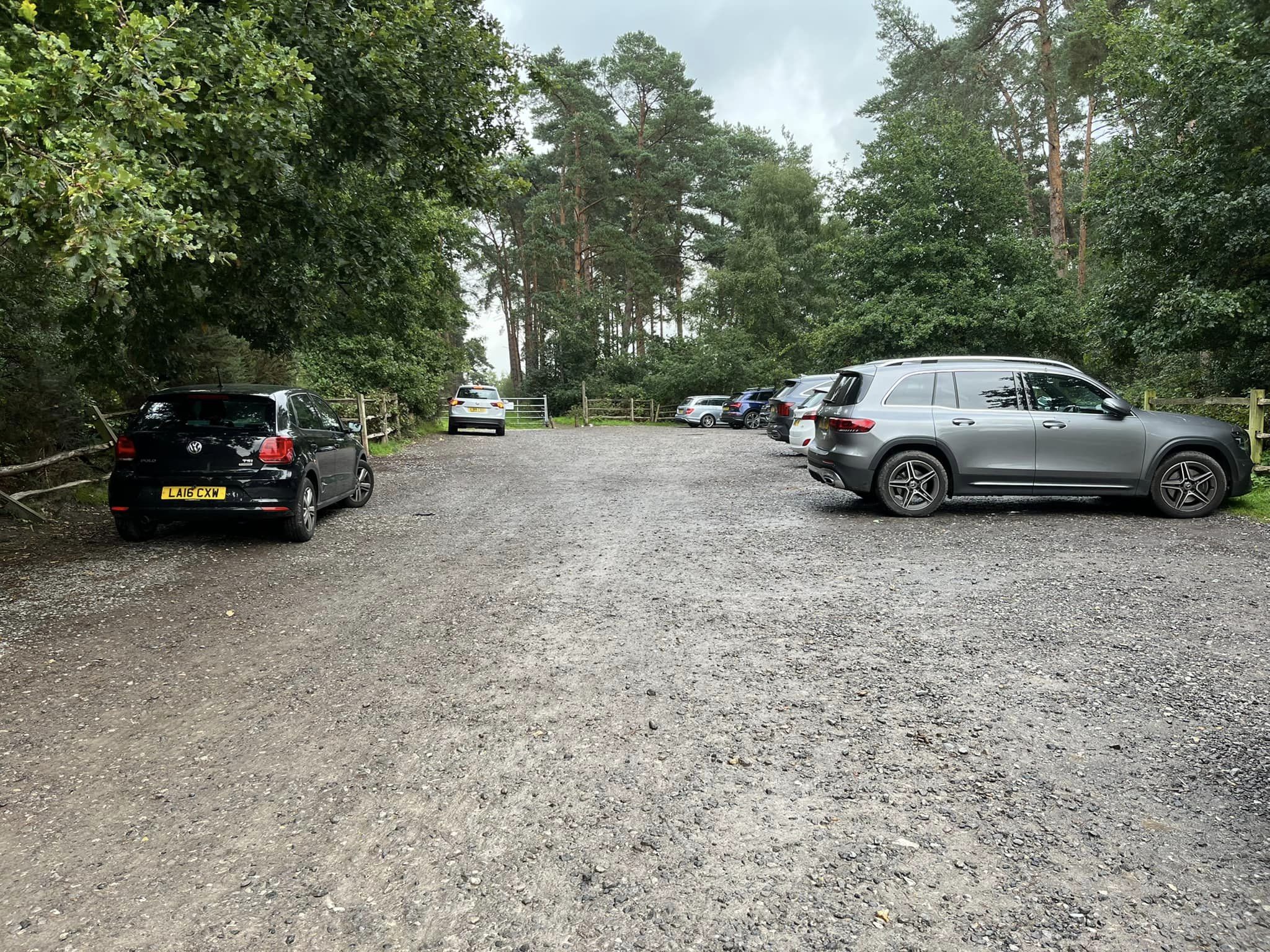
Parking
Park in the free car park at the end of Blackheath Lane.
Poo bins?
None, please take waste home for disposal
Self-guided walk
Here is a Footpath app route for Blackheath Common. Also on AllTrails. This walk takes you through the common’s woods and across its sandy heathland.
Length: approximately 2 miles/3.2 km
Terrain: Flat route on mostly dry, mostly sandy paths but a few muddy bits in the winter in the wooded areas.
Stiles/kissing gates? No stiles, no kissing gates
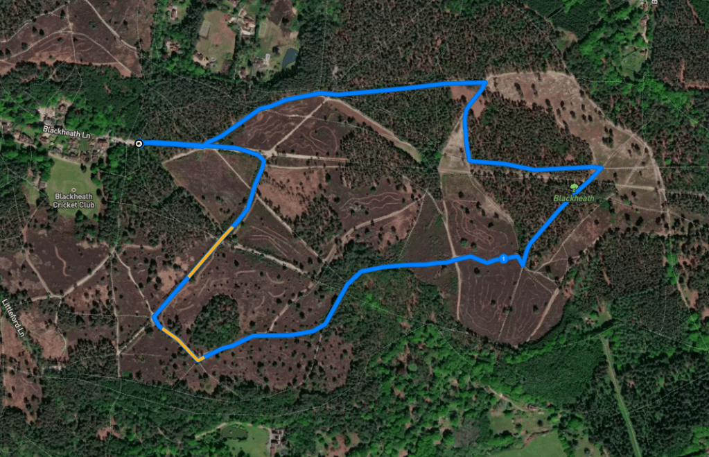
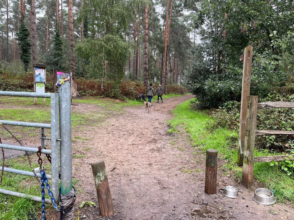
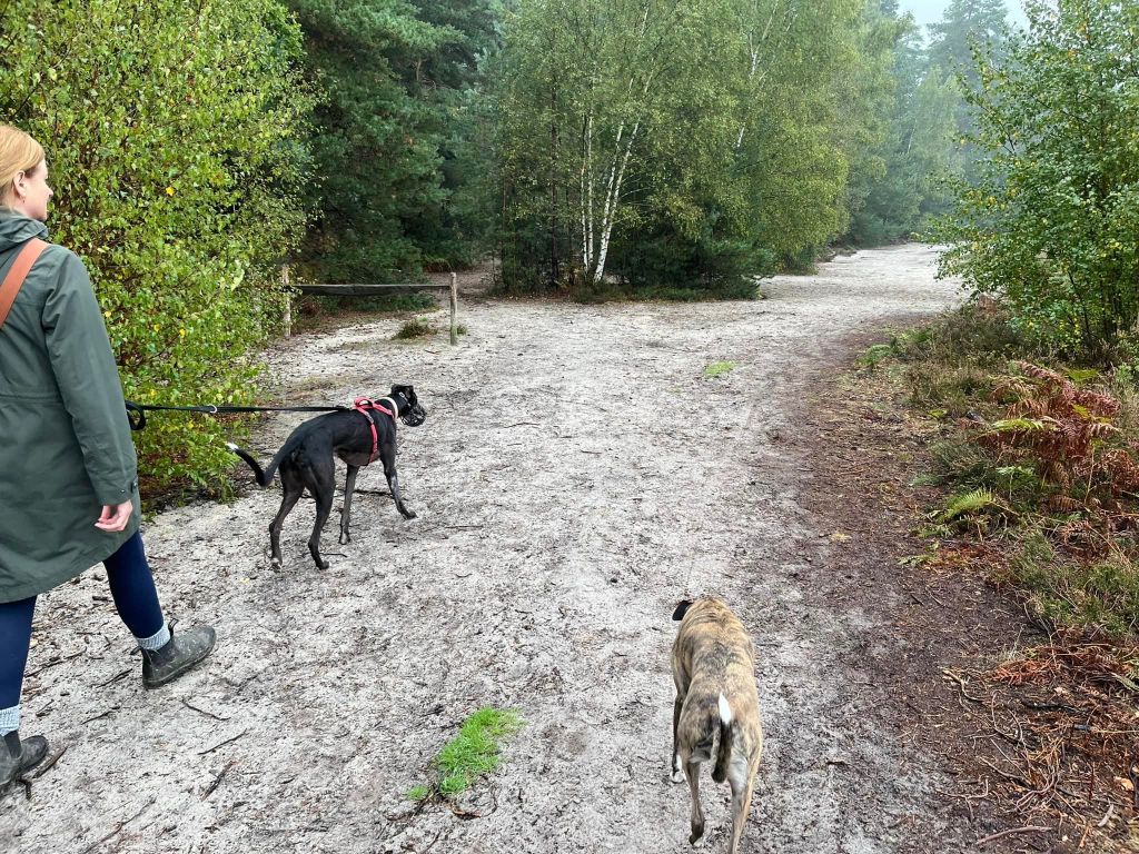
Go through the gap next to the metal gate at the back of the car park and follow this main path straight ahead, passing an information board on the left.
Up ahead, you’ll see a tree in the middle of the path. Turn left as you reach this and go through the gap in the wooden barrier to the left.

Follow this path down, ignoring another pair of wooden barriers with gaps to the left. At the next left, which is next to yet another wooden barrier with a gap, go left. After a few steps, you’ll have a choice of three paths next to a short blue stump. Take the middle one, which is immediately to the right of the stump.
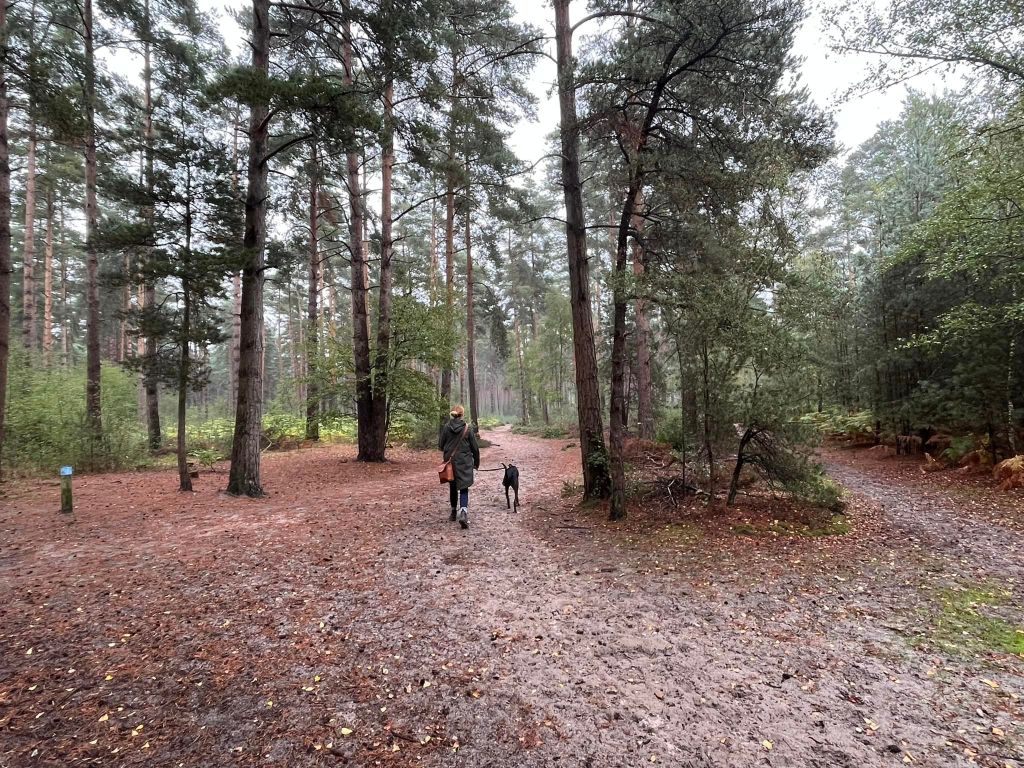
Follow this sandy path through the evergreen trees until you reach the cross paths at the clearing, where the vegetation ahead is much lower and trees skirt the path that goes ahead and to the left. At this junction, with the low-lying vegetation ahead, turn right.
After a short distance, a small path goes off to the left. Take this path.
At the next cross paths, turn left and head into the trees.
Presently, this path will run parallel with one of the main paths through the common (you can see it through the trees over on your right.) Your path then comes out of the trees to a cleared area – at the next junction of small paths, turn right.
Then go straight over the main path at the next cross paths. Just after this crossing, you’ll pass a wooden marker post with blue arrows on it (this marker is to the right of the path) – just continue straight ahead.

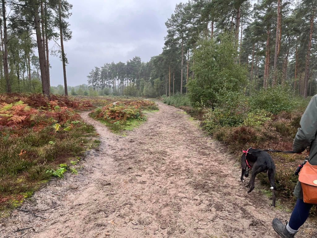
The end of this wooded path comes down to the open heathland, and the ground surface underfoot becomes sandy. Turn right at the triangle of heather and then take the next left (which is almost immediate) that goes through the open heathland.

At the big sandy cross paths, continue straight over on what is quite a narrow path ahead. After a stretch through heath with fir trees dotted around, the path goes into another wooded area. The path will widen after a little way, bear round to the left and the trees will get bigger.

You’ll come to a dip down and immediately back up again – continue straight here.
The path comes out of the trees again – the tall trees remain on the left-hand side of the path but it’s scrubbier heath to the right of it – and shortly, you’ll reach a fork. Take the right-hand sandy path which heads away from the treeline.

Follow this path ahead, passing a bench on the right and joining a path that comes in from the right – just continue straight ahead.

The path will then bear round to the left and go downslope, before going back uphill again. At the top of the hill, stay on the main wide path and go round to the right, ignoring a couple of smaller paths off to the left.
Follow this wide path to the cross paths which has two wooden marker posts and turn right, to walk between those two posts.
Go straight ahead at the next cross paths, where there is a bench to the left of the path (and ignore another smallish path that goes off to the left just after this junction).
Straight over at the next cross paths with a really minor path left to right. When you get to a tree stump on the right and you can see a finger post up ahead, turn left onto a path that joins the main artery path through the middle of the common.

Follow this main path ahead and it takes you straight back to the car park.

Leave a comment