
Page contents
About
Gallery
Parking
Poo bins?
Self-guided walk
About
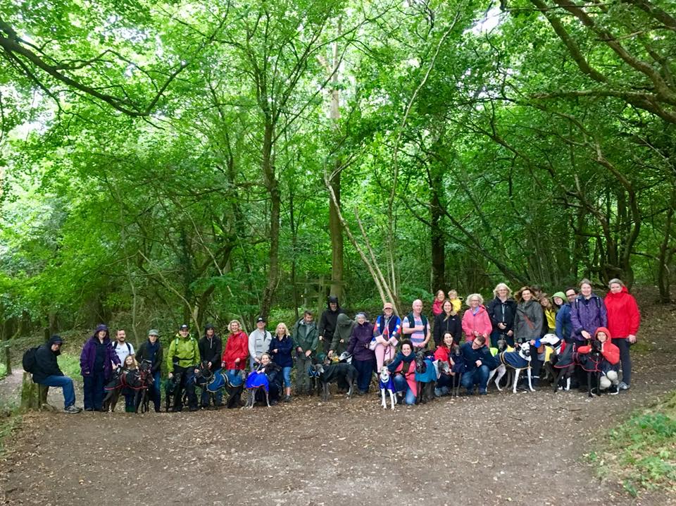
Ranmore Common is an area of wooded former common land on the North Downs immediately northwest of Dorking, which has the North Downs Way running along its hillside. It is adjacent to a large area of chalk grassland known as Denbies Hillside, named after a 17th century farmer called John Denbies and now home to the Denbies Wine Estate.
Much of the Ranmore Common area is now owned by the National Trust and some by the Woodland Trust.
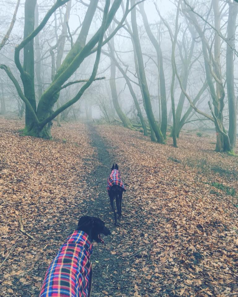
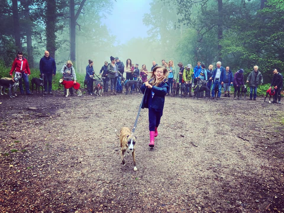
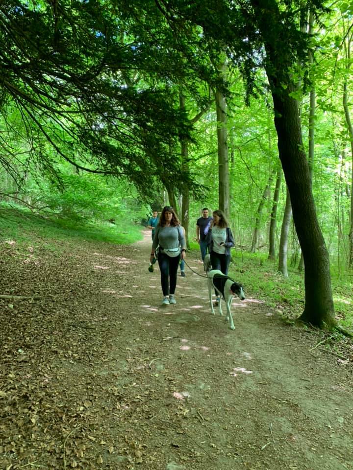
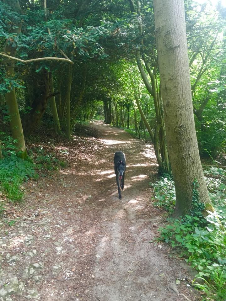
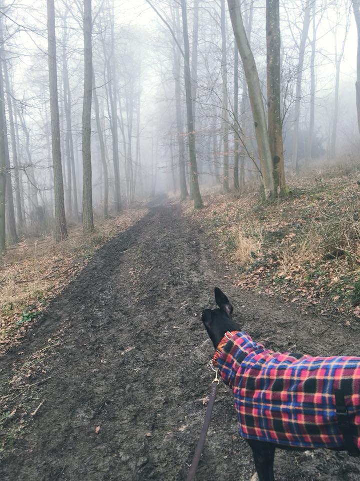
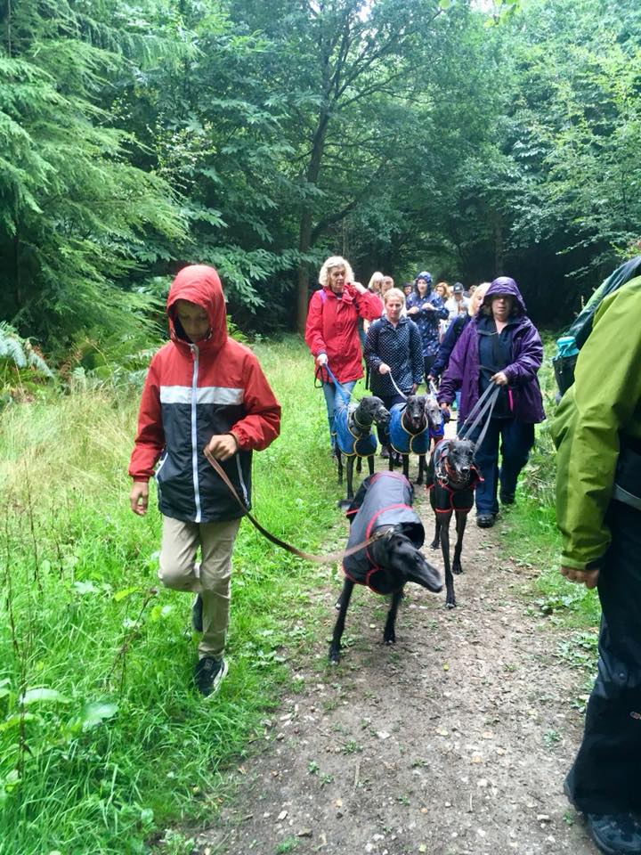
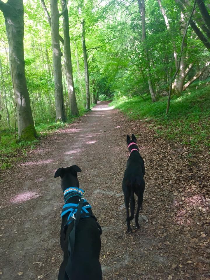
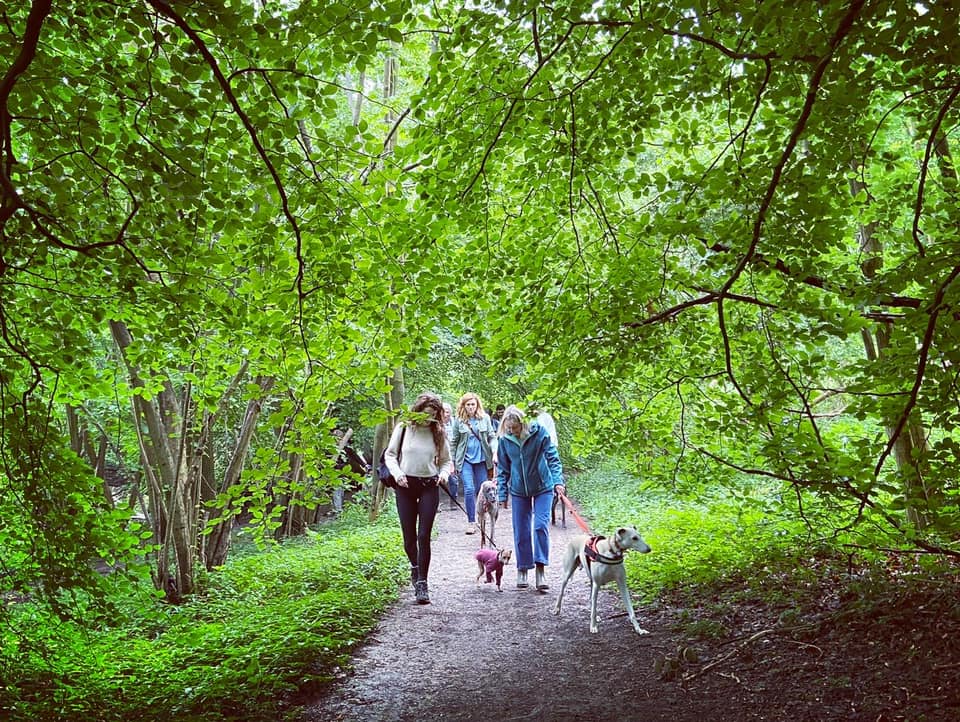
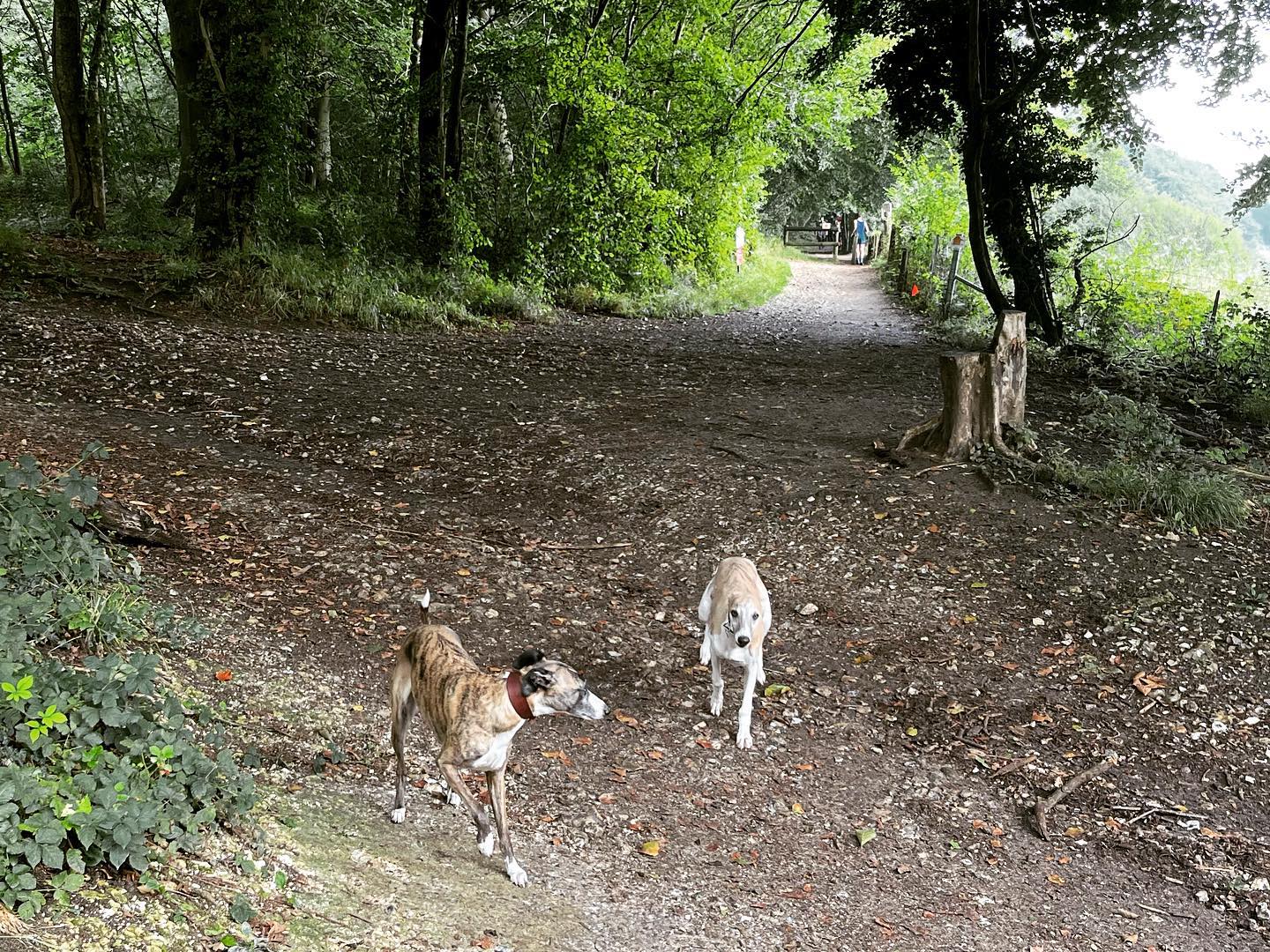
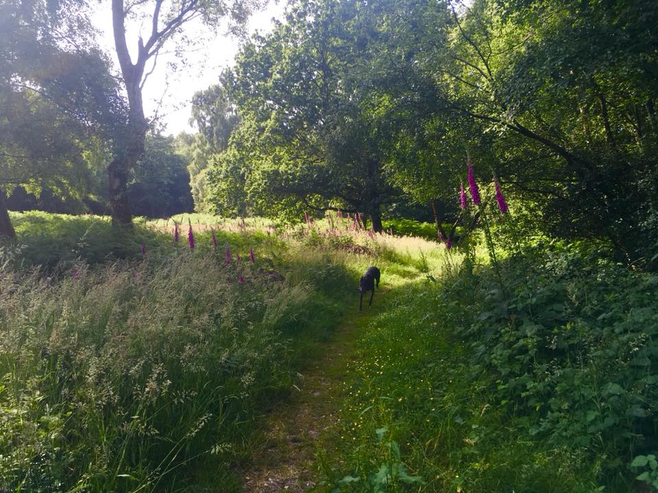
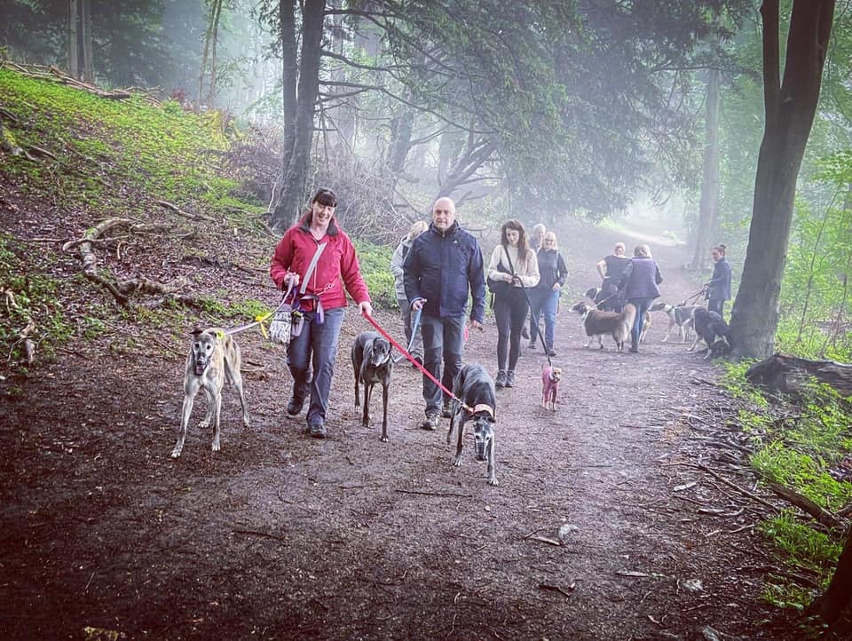
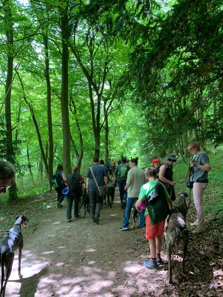
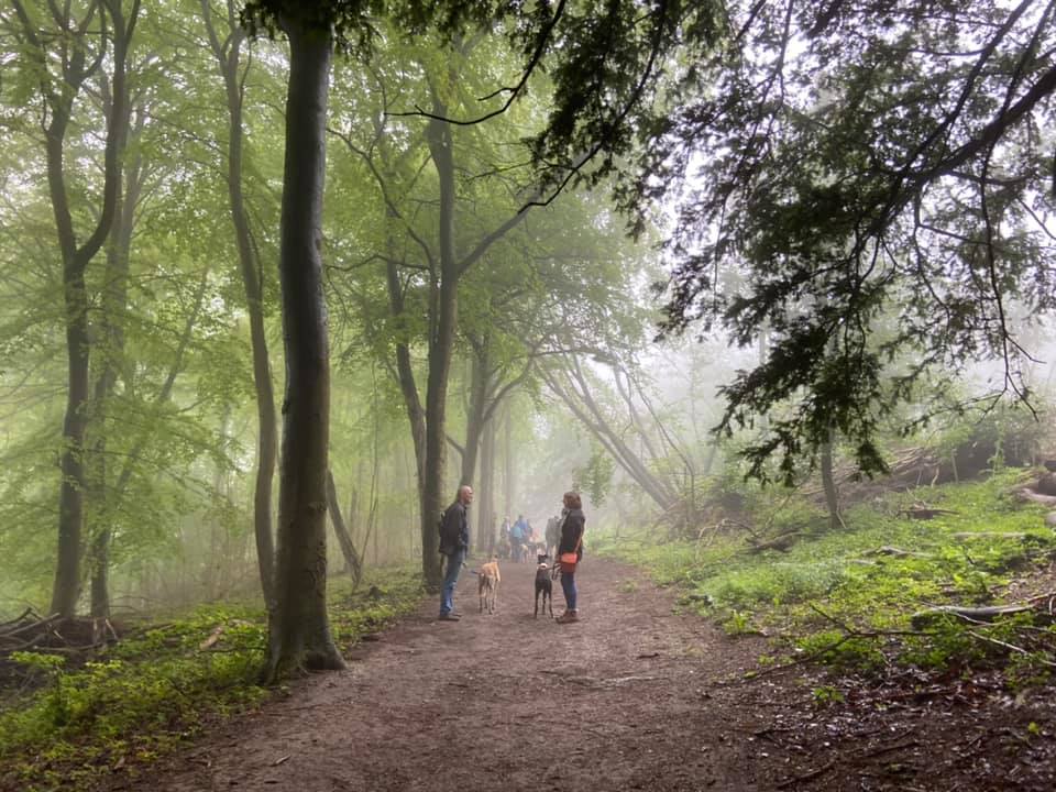
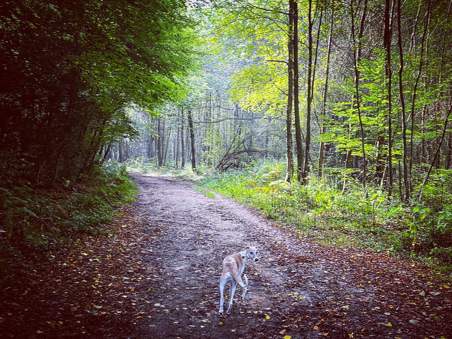
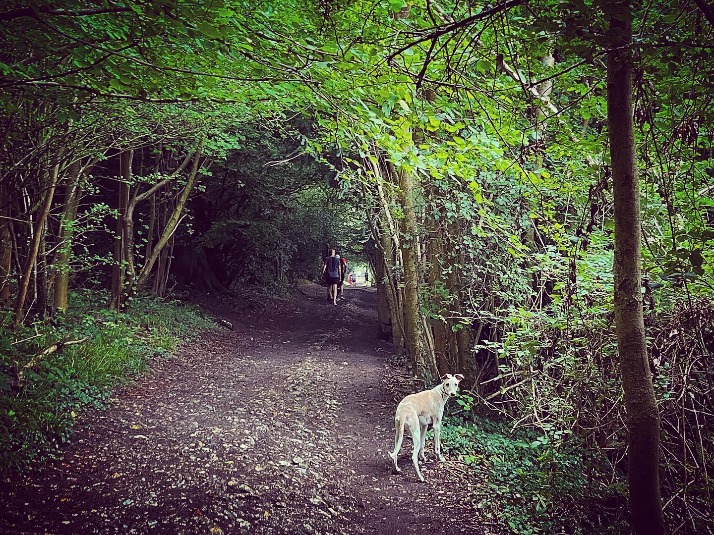
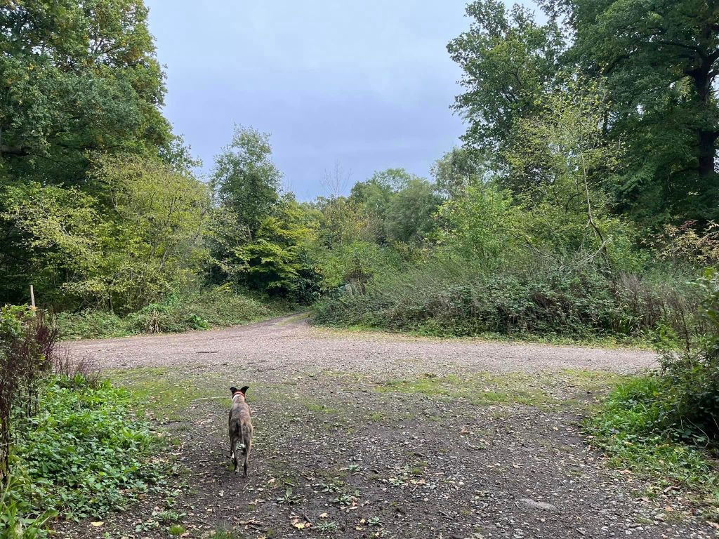
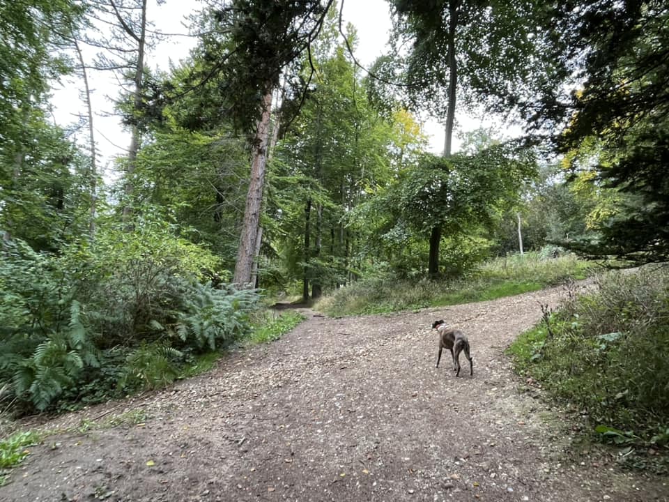
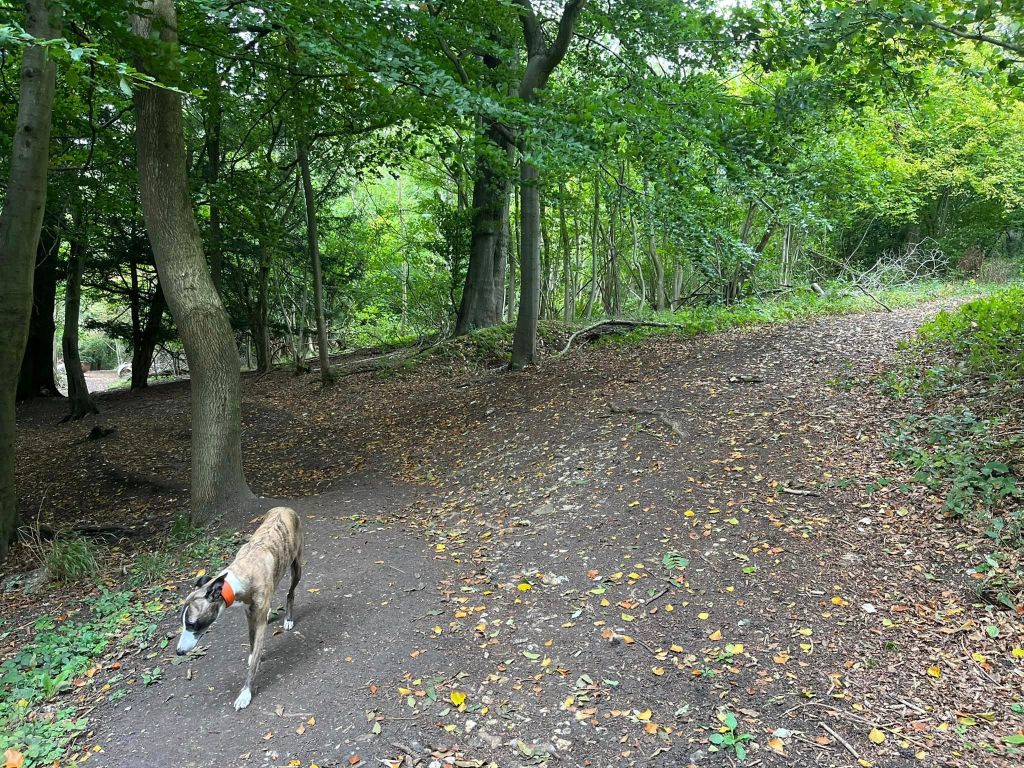
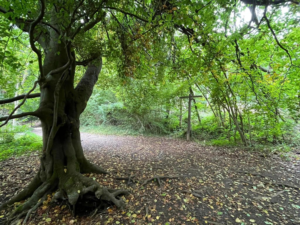
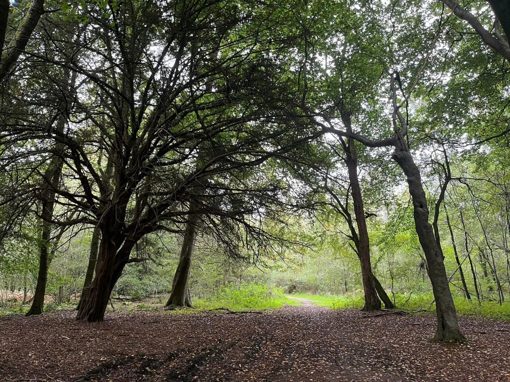
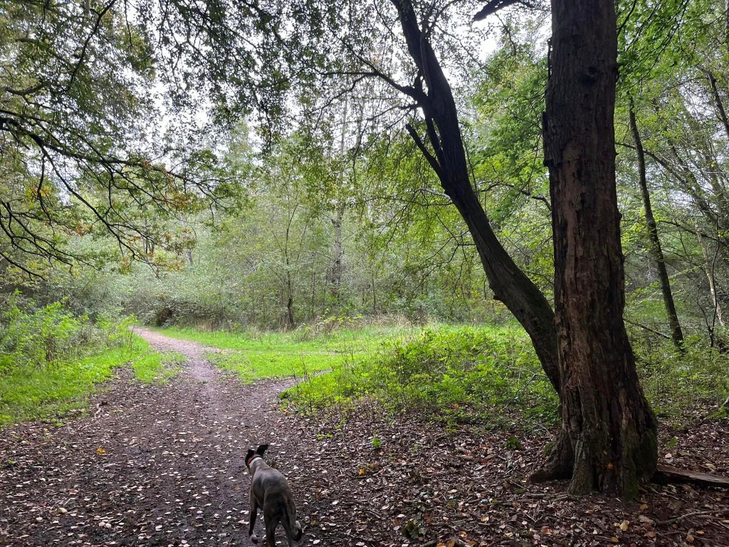
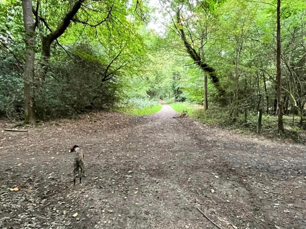
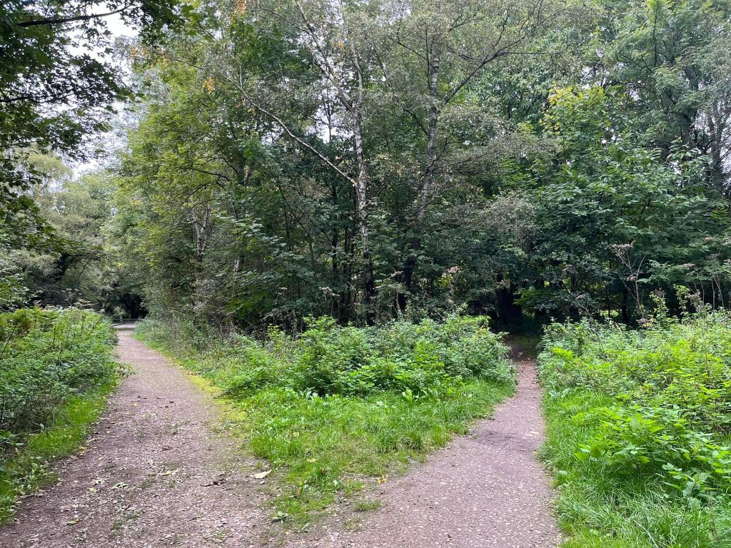
Gallery: What’s it like here?


Parking
Park in the free Ranmore Common West National Trust car park. It is a little further along the road from the East National Trust car park at Denbies Hillside, which you have to pay to use.
Poo bins?
At the car park.
Self-guided walk
Here is a Footpath app route from the free NT West car park on Ranmore Common Road, which loops through the woods. Also on AllTrails.
Length: approximately 2.3 miles/3.75 km
Terrain: There are long flat sections of route and one short, sharp steep slope on a gravel path (up and down).
Stiles/kissing gates? No stiles, no kissing gates

Park in the NT West car park and, with the road behind you, head past the donation point and information board into the picnic area at the back of the car park.

This path heads diagonally to the right across the picnic area. It passes under the shade of a big tree then through nettles and brings you to a main stony path – turn left onto this.
Go straight over at the cross paths where there is a blue arrow marker post pointing ahead. The path bends round to the right and, after a little way, take the next path on the left.
Follow this path all the way to a wide cross paths with a stony track and a green sign for the Scouts’ campsite in front of you. Turn right.

The path goes down a slope and comes to a cross paths where there is a small tree stump to the left of the path and a sign post for the North Downs Way to the right. Turn right here.

You are now on the North Downs Way. You will now be on this path for quite a long way, about a mile. But here are a few things to note on the way. You’ll come to a cross paths, which you go straight over.
Further on, the path bears to the left and a smaller path forks off to the right. Continue on the main path round to the left and you’ll see ahead a chopped up tree trunk – pass between the segments.

Continue ahead until you reach a T-junction where there is a sign post right ahead of you. The arrow to the left points towards the North Downs Way, as does the arrow indicating the path you’ve come from. The right hand arrow is marked ‘public bridle way’. Turn right here.
This path widens out as it goes through the woods. Sometimes the ground can be quite muddy here and the path can be quite waterlogged with churned up patches and large puddles. Walkers create smaller parallel paths to avoid the worst of it. Ideally stay on the main path, but any of the little parallel ones are fine – just keep going ahead. Immediately after emerging from the shelter of the big trees into more scrubby woodland with grass either side of the path, there’ll be a small path to the right.
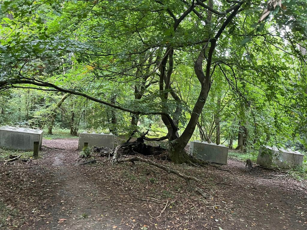
This small path brings you down to a junction with another path, where there are a number of large concrete blocks. Turn right here and follow the path ahead as it passes a green Forestry Commission sign.
Follow this path all the way to the cross paths with the marker post with the blue arrow (it will be on your right).
Turn left at this junction and follow the path back to the picnic area and car park (taking the right hand fork just as you get there).

Leave a comment