Page contents
About
Gallery
Parking
Poo bins?
Self-guided walk
About
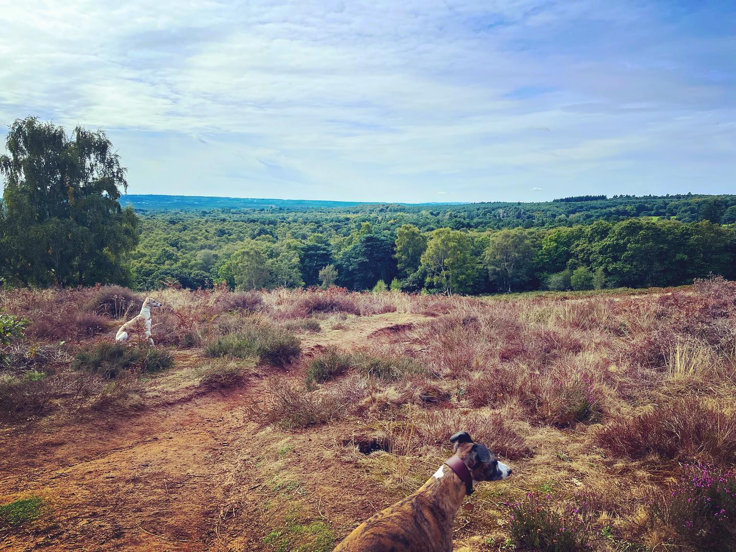
Puttenham Common is a private estate of woodland, heathland, grassland, wetlands and ponds owned by the Hampton Estate. These days, it is managed by the Surrey Wildlife Trust. A designated Site of Special Scientific Interest, it boasts large areas of heather and is home to a plethora of birds, butterflies and dragonflies.
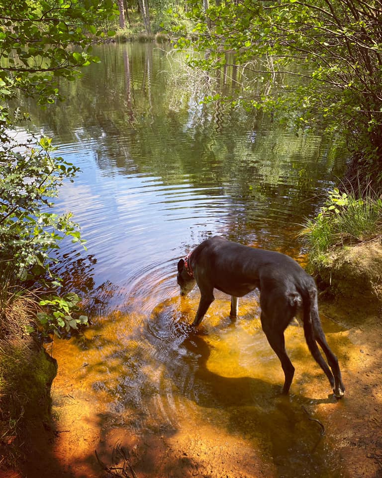
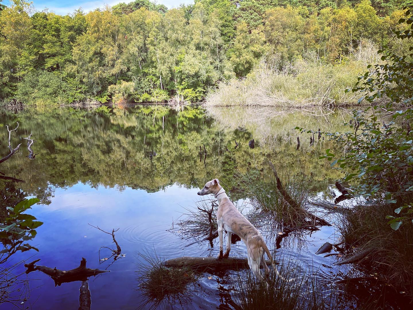
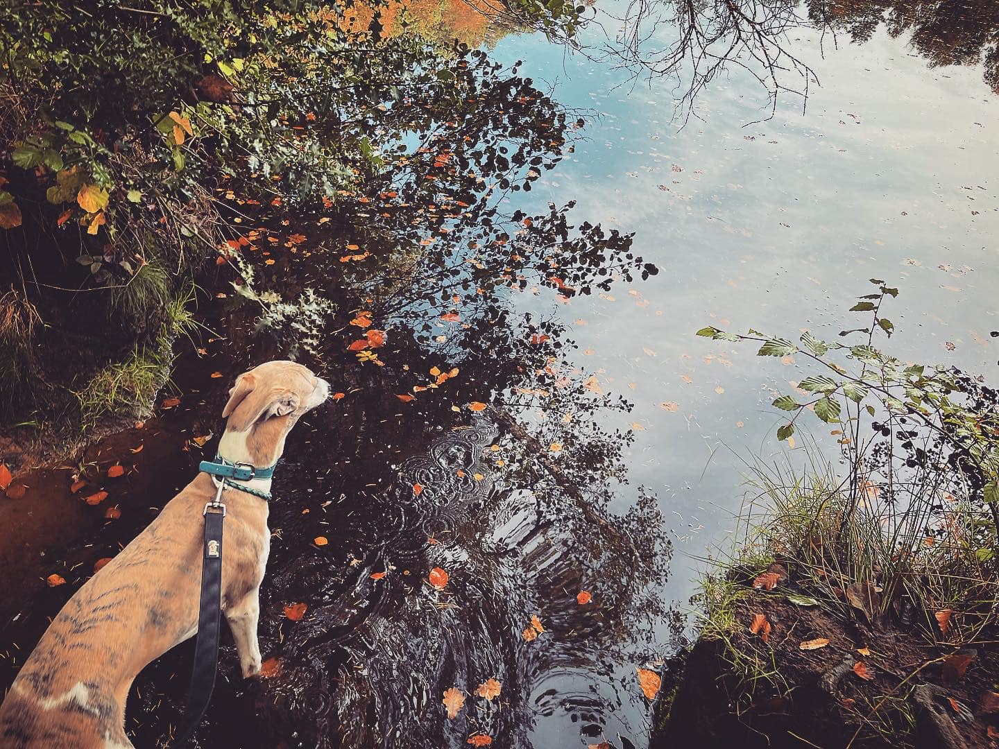
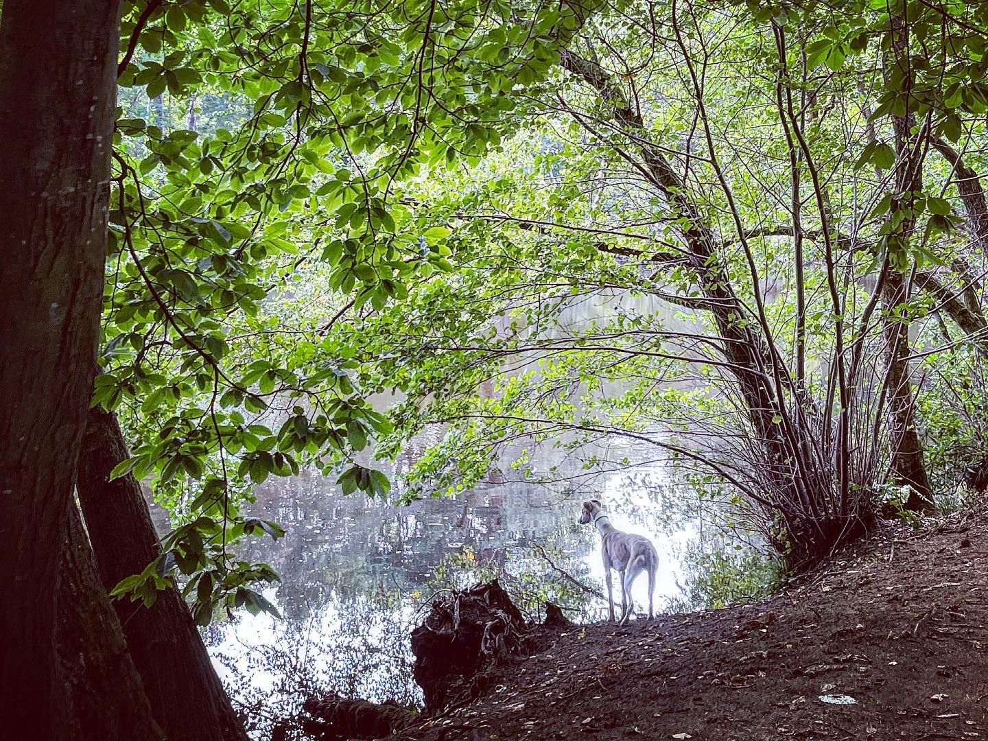
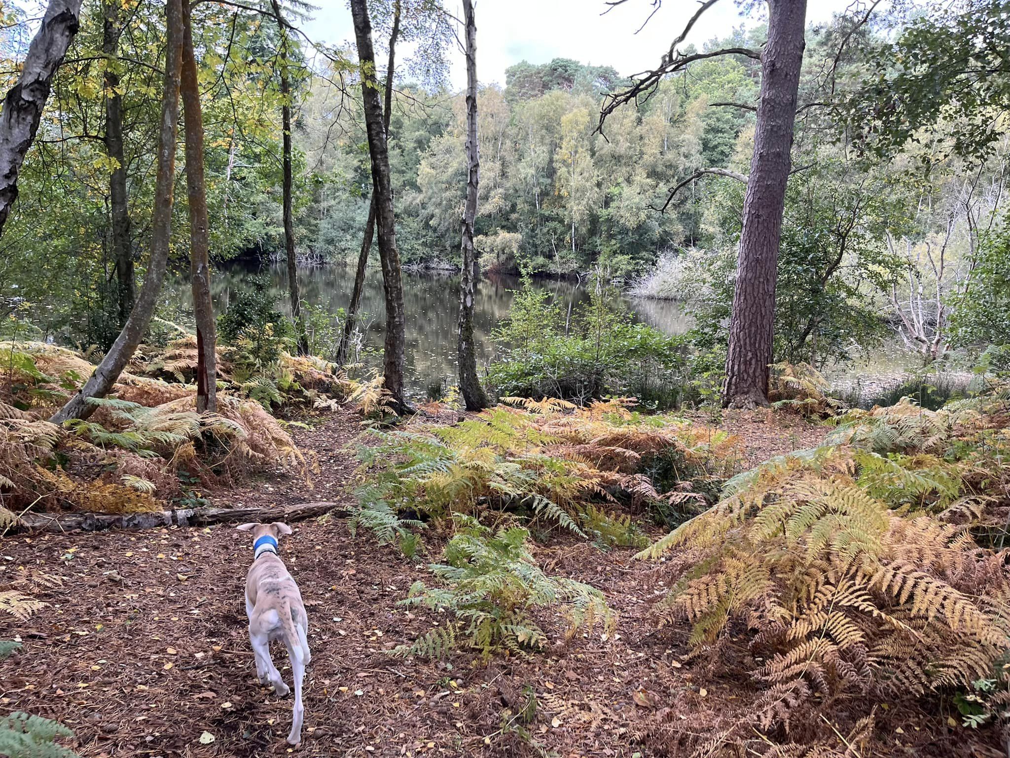
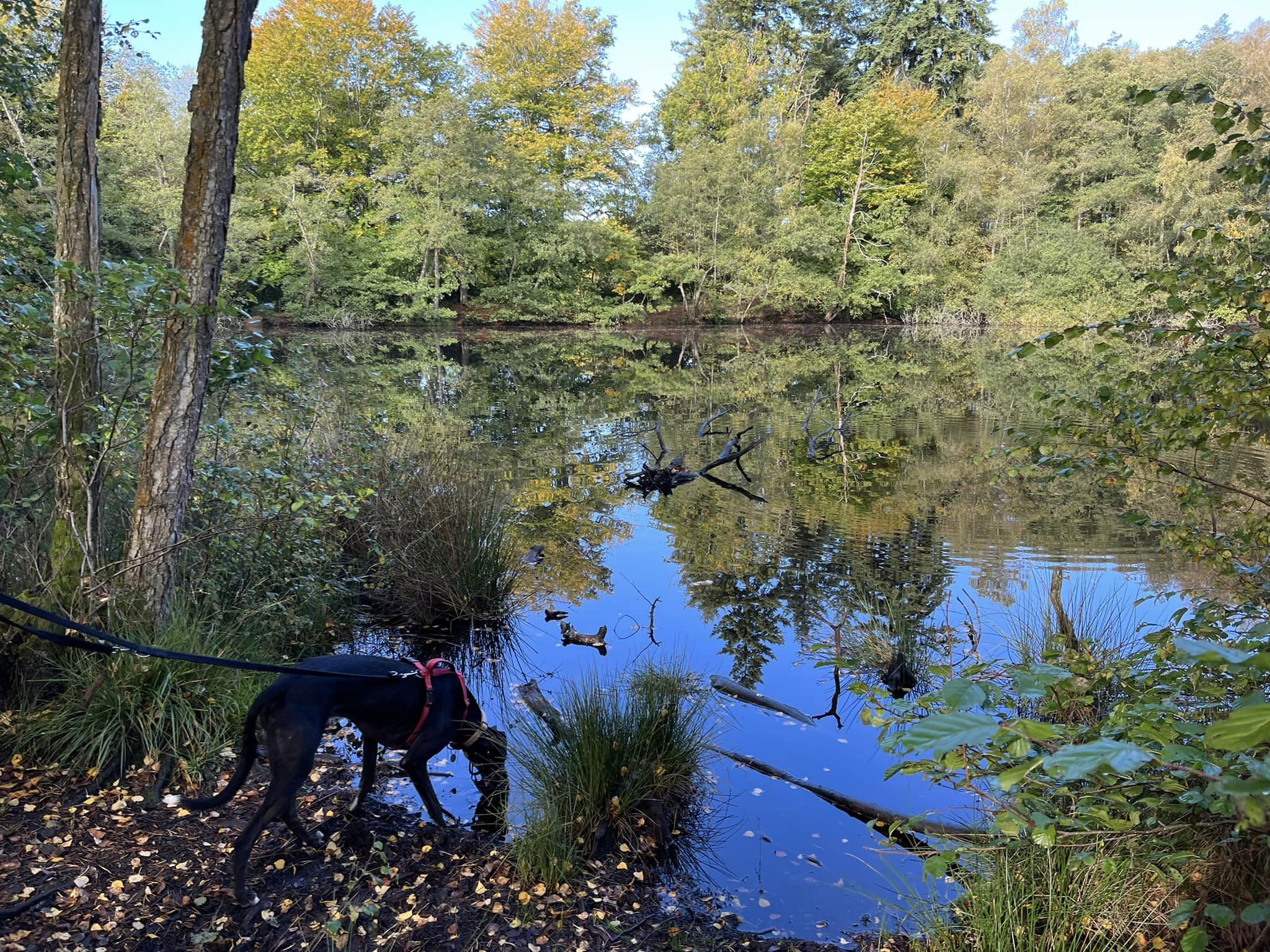
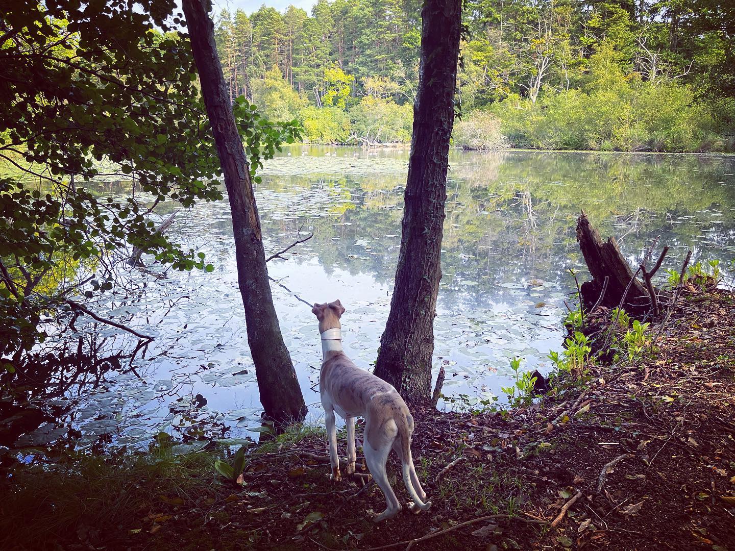
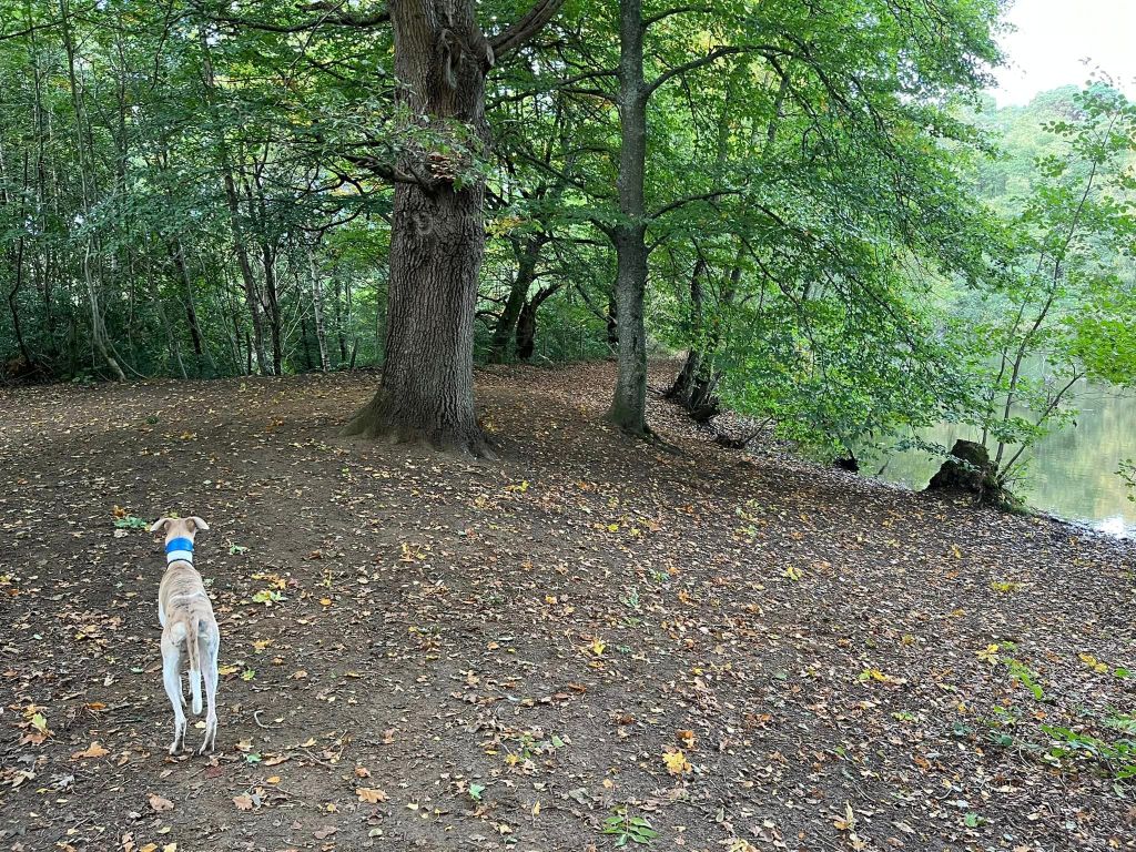
The common has a series of interconnecting ponds, the central one of which is called General’s Pond. This one was hand dug and probably used to raise fish for Puttenham Priory.
Hillbury Hillfort on Puttenham Common is a scheduled monument, which probably dates to the Iron Age. The walk on this page goes through the site, not that there’s any way of knowing beyond it being marked on the OS map!
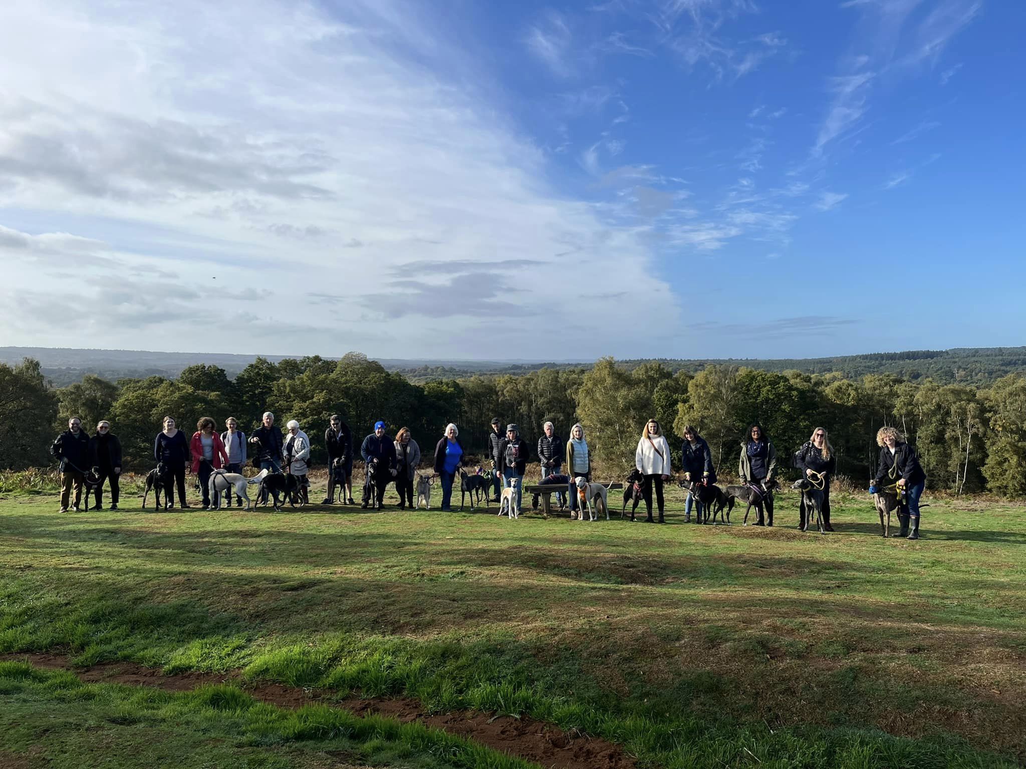
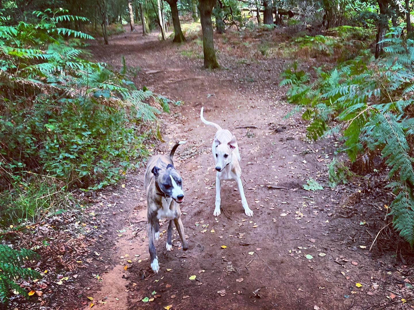
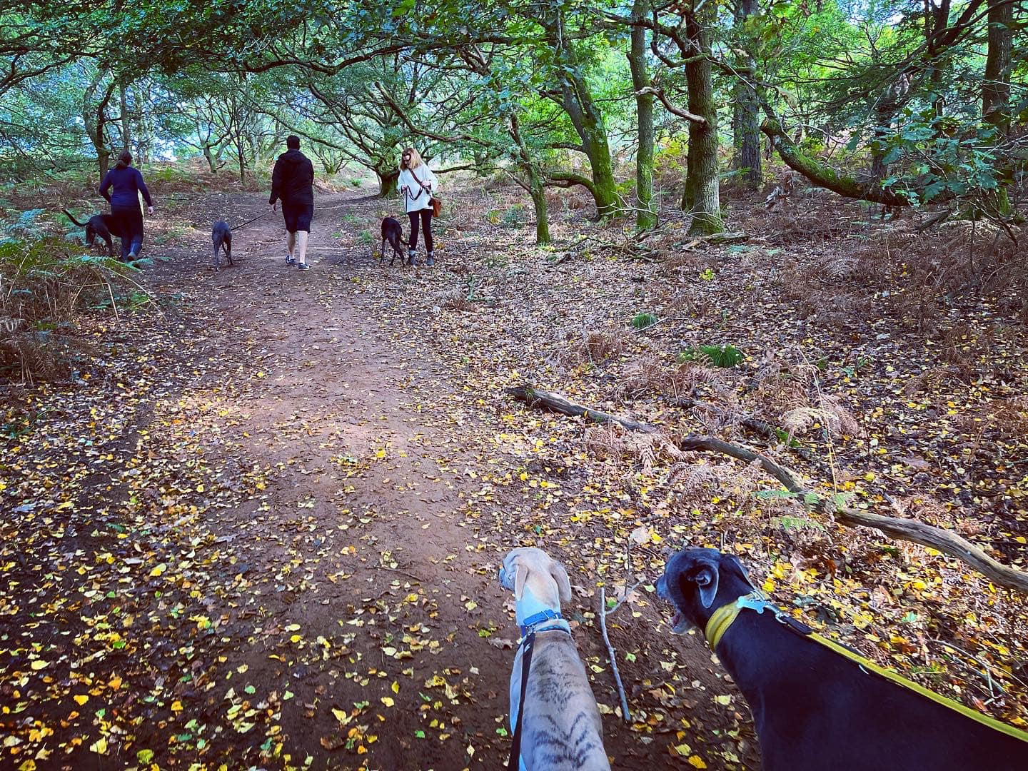
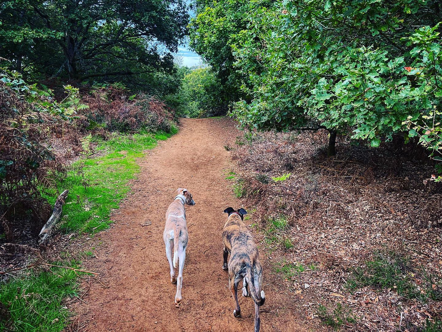
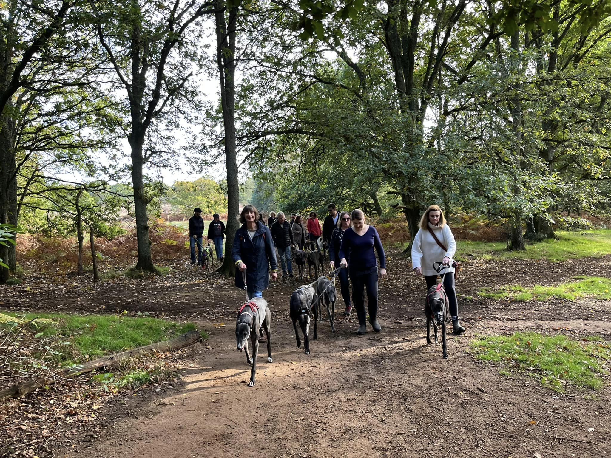
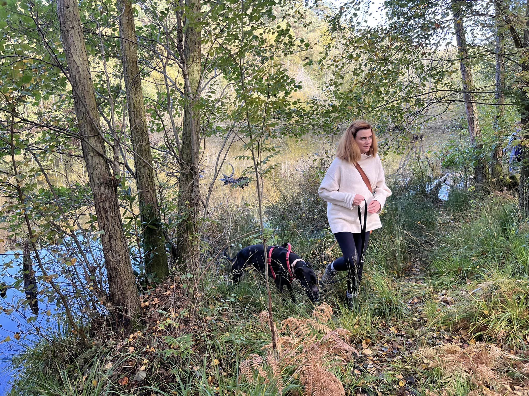
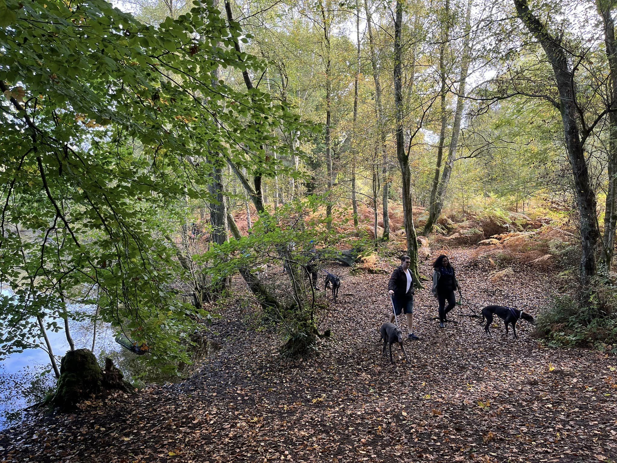
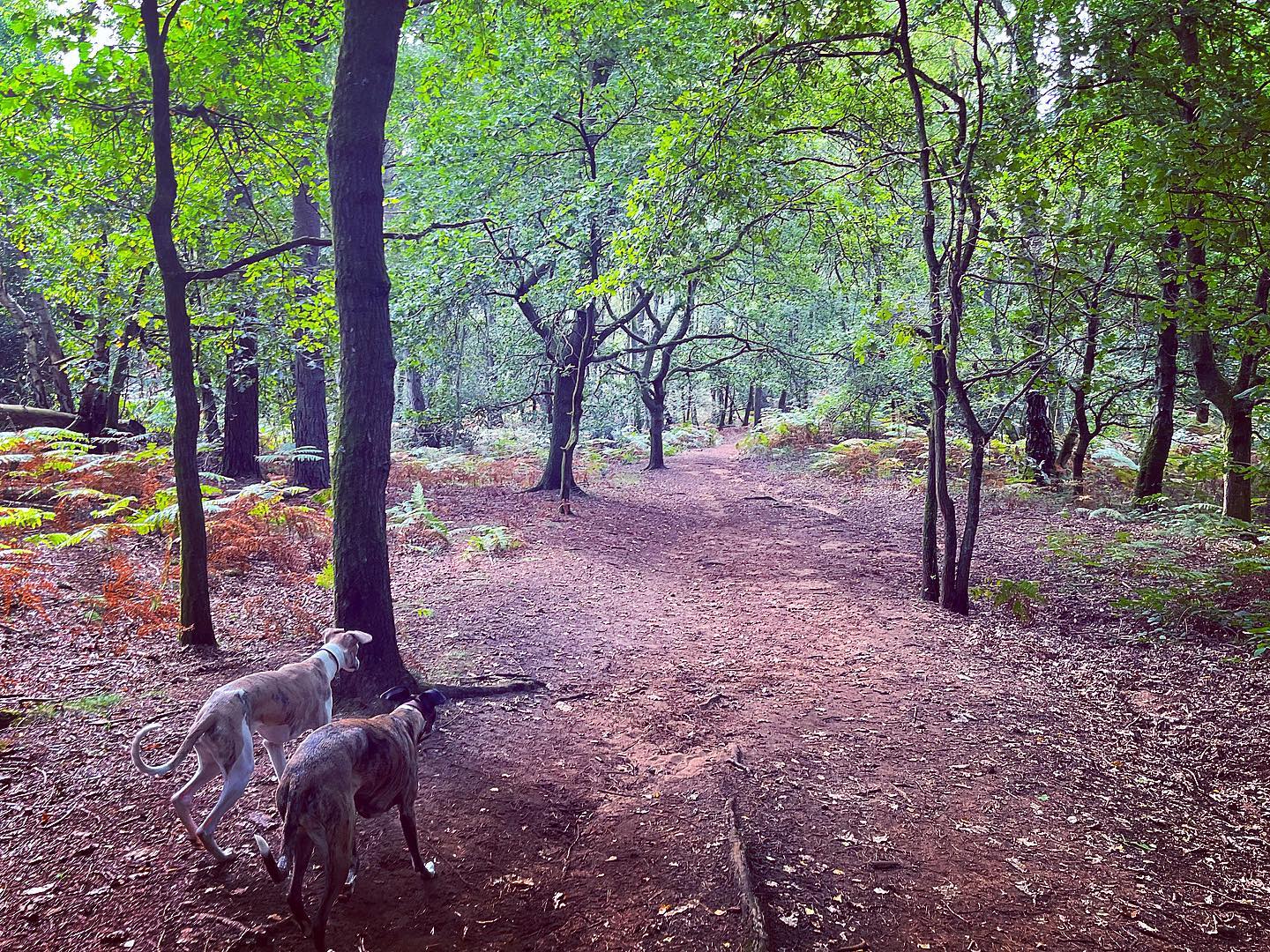
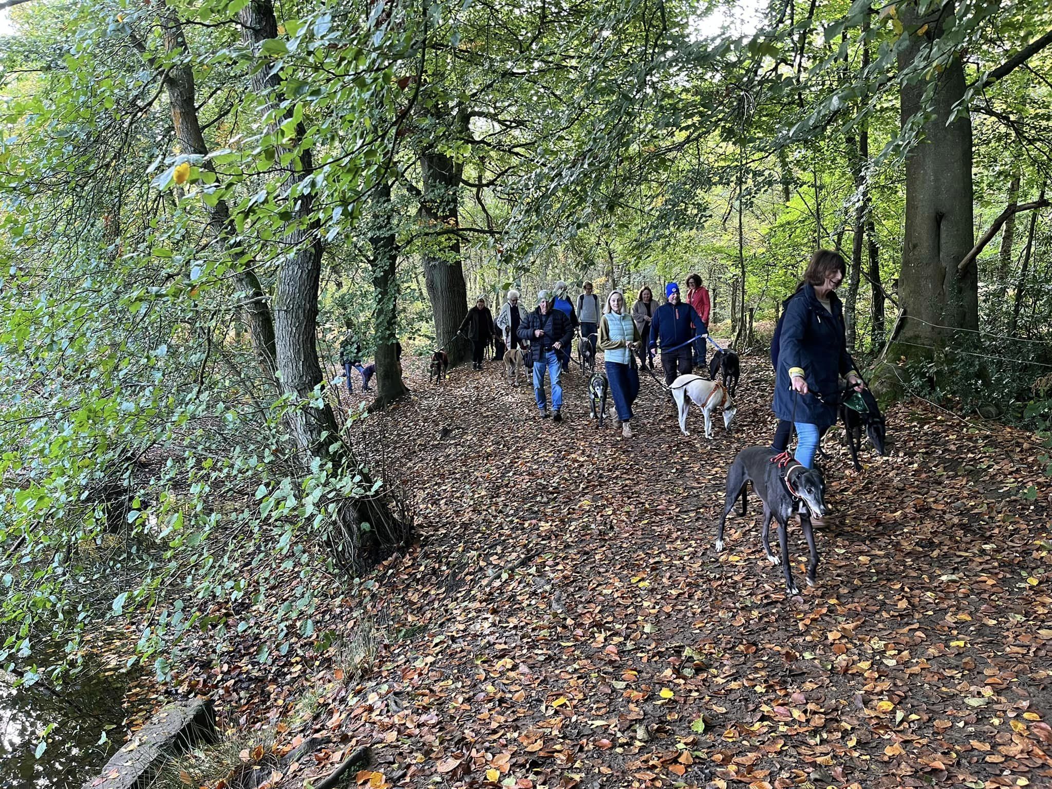
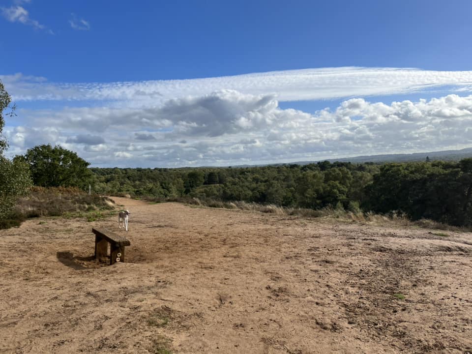
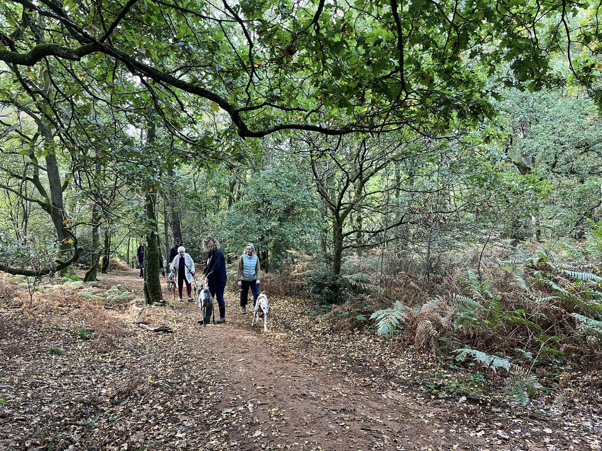
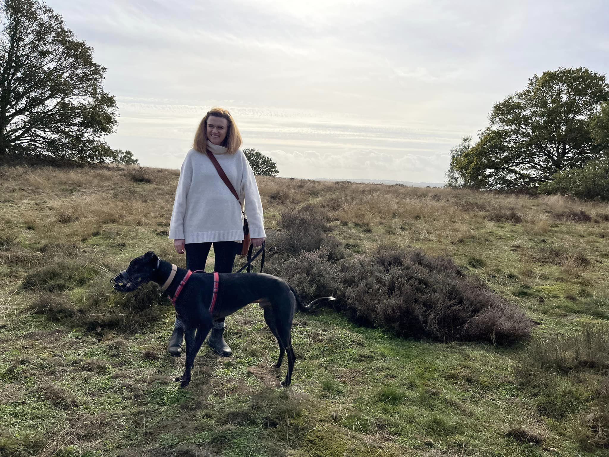
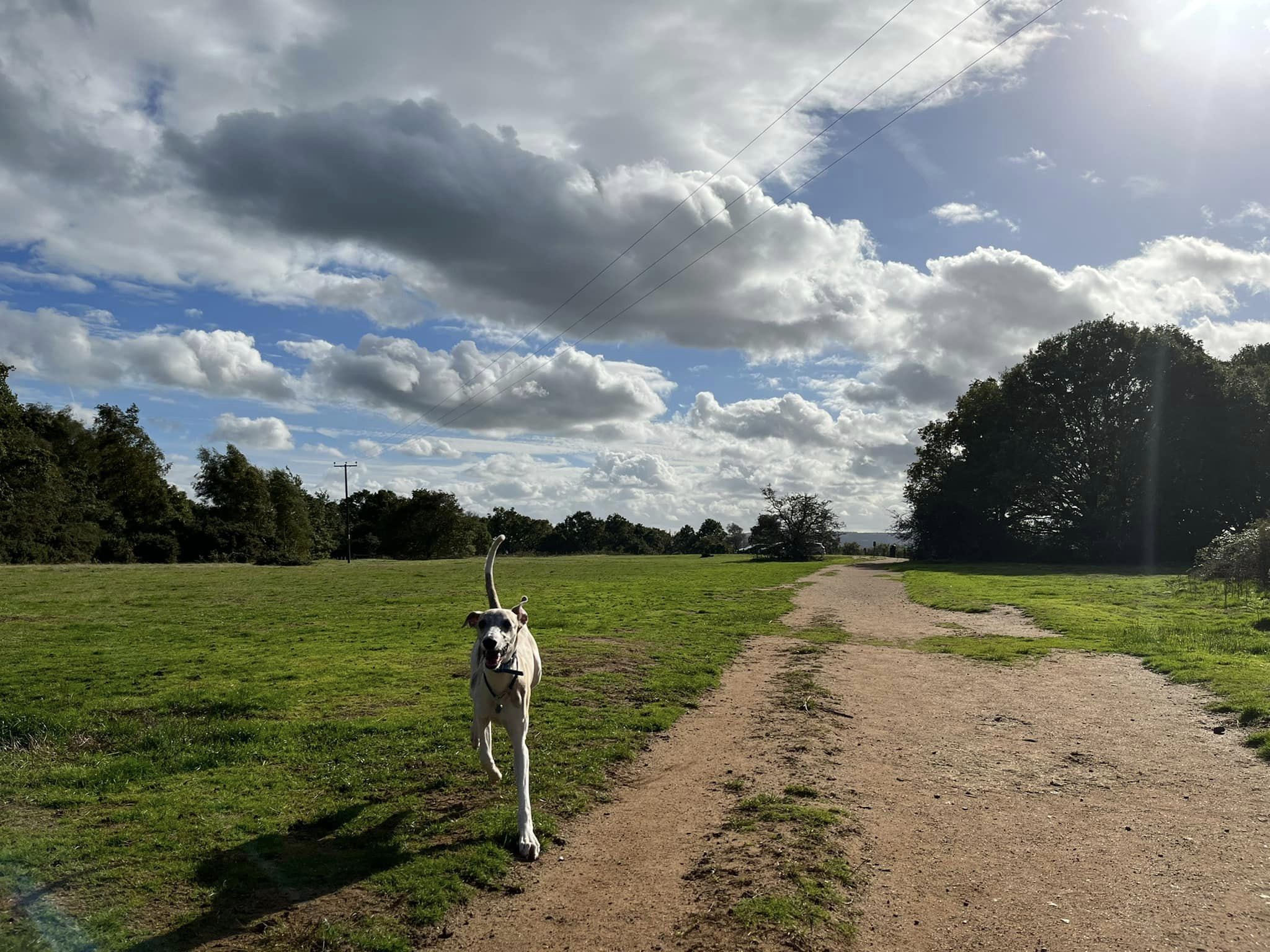
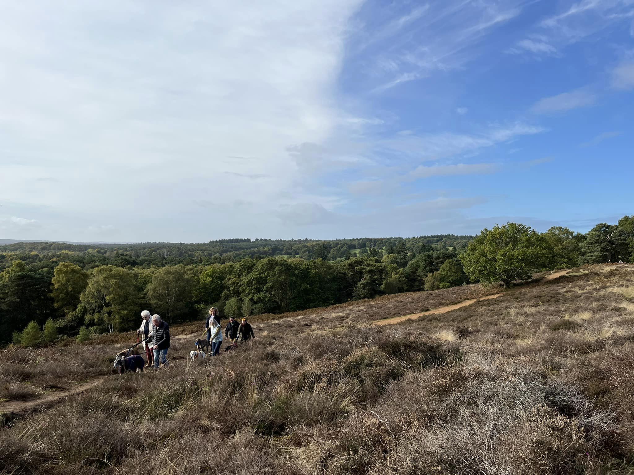
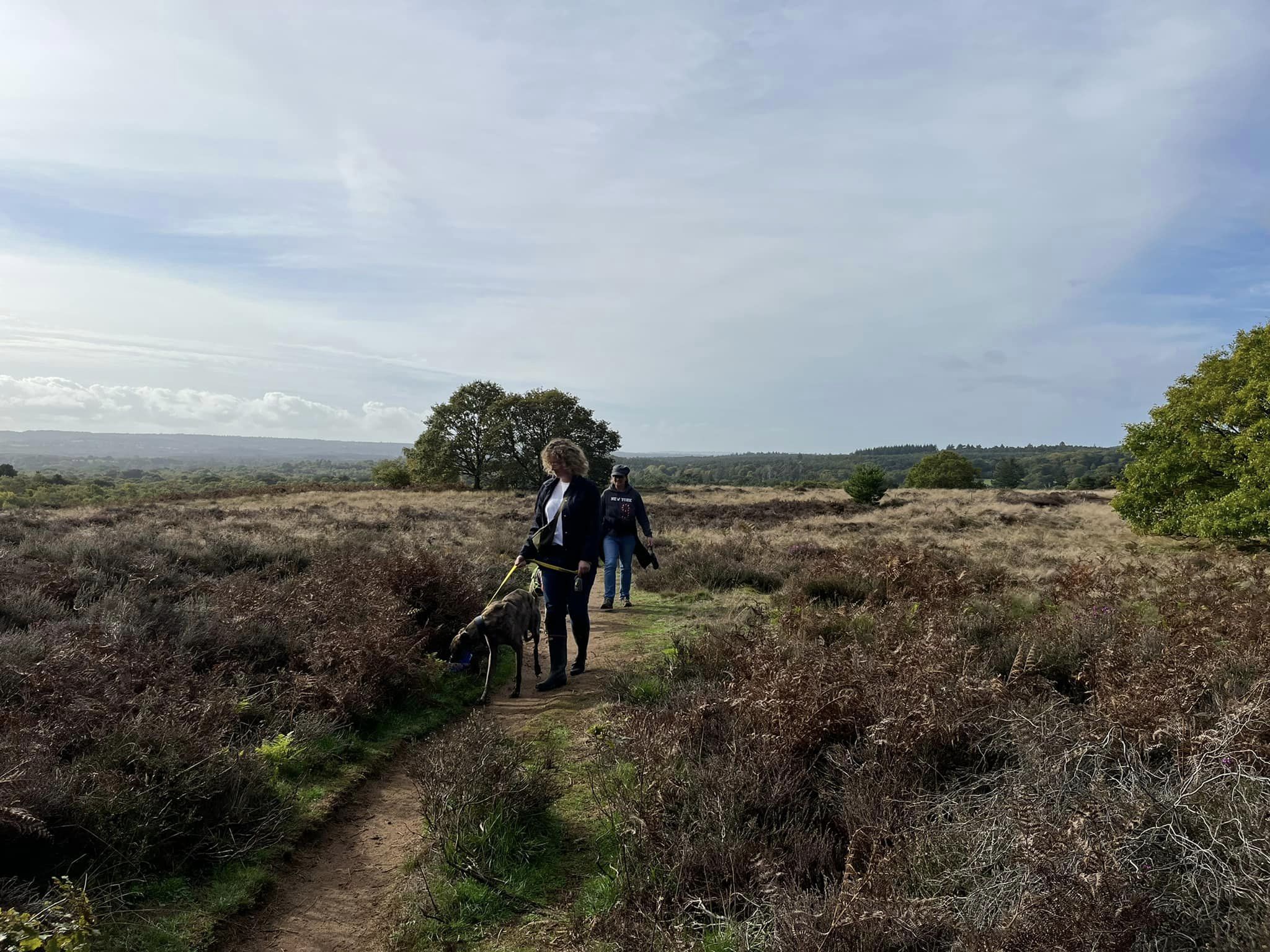
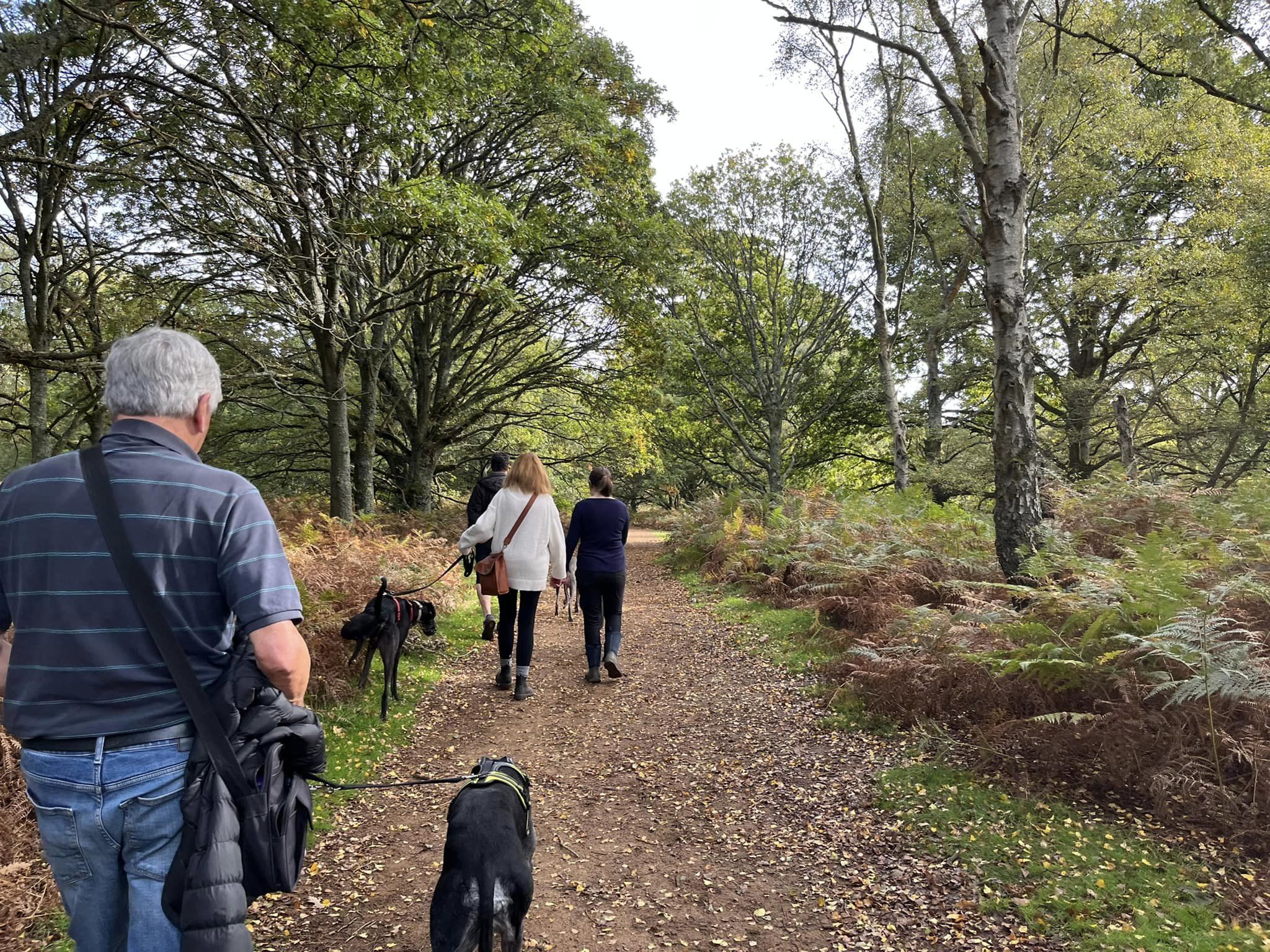
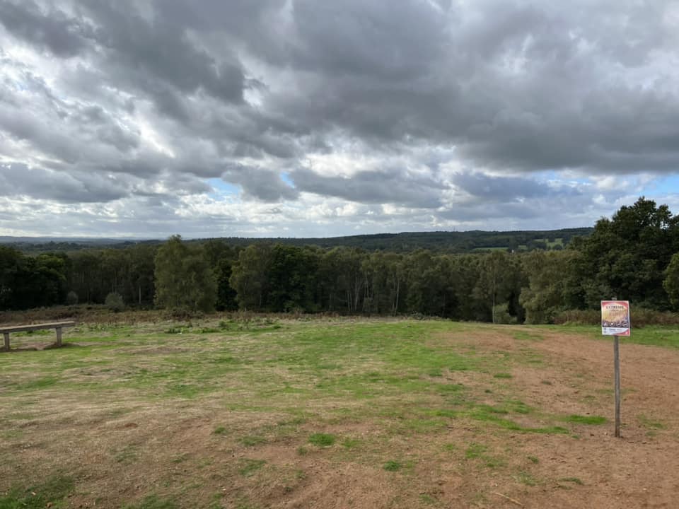
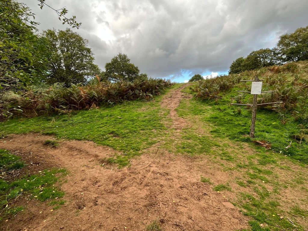
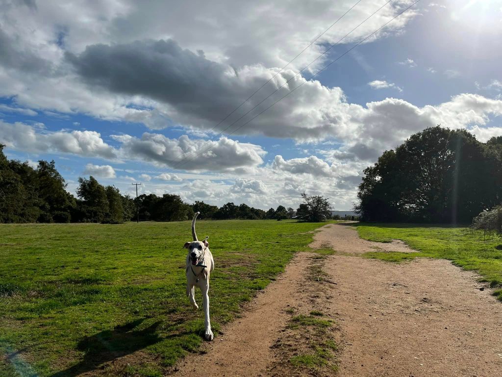
Gallery: What’s it like here?


Parking
Puttenham Common boasts a number of free car parks dotted around the area. The biggest, and the one from which this walk sets off, is called the Top car park. You can find it on Suffield Lane.
Poo bins?
At the car park.
Self-guided walk
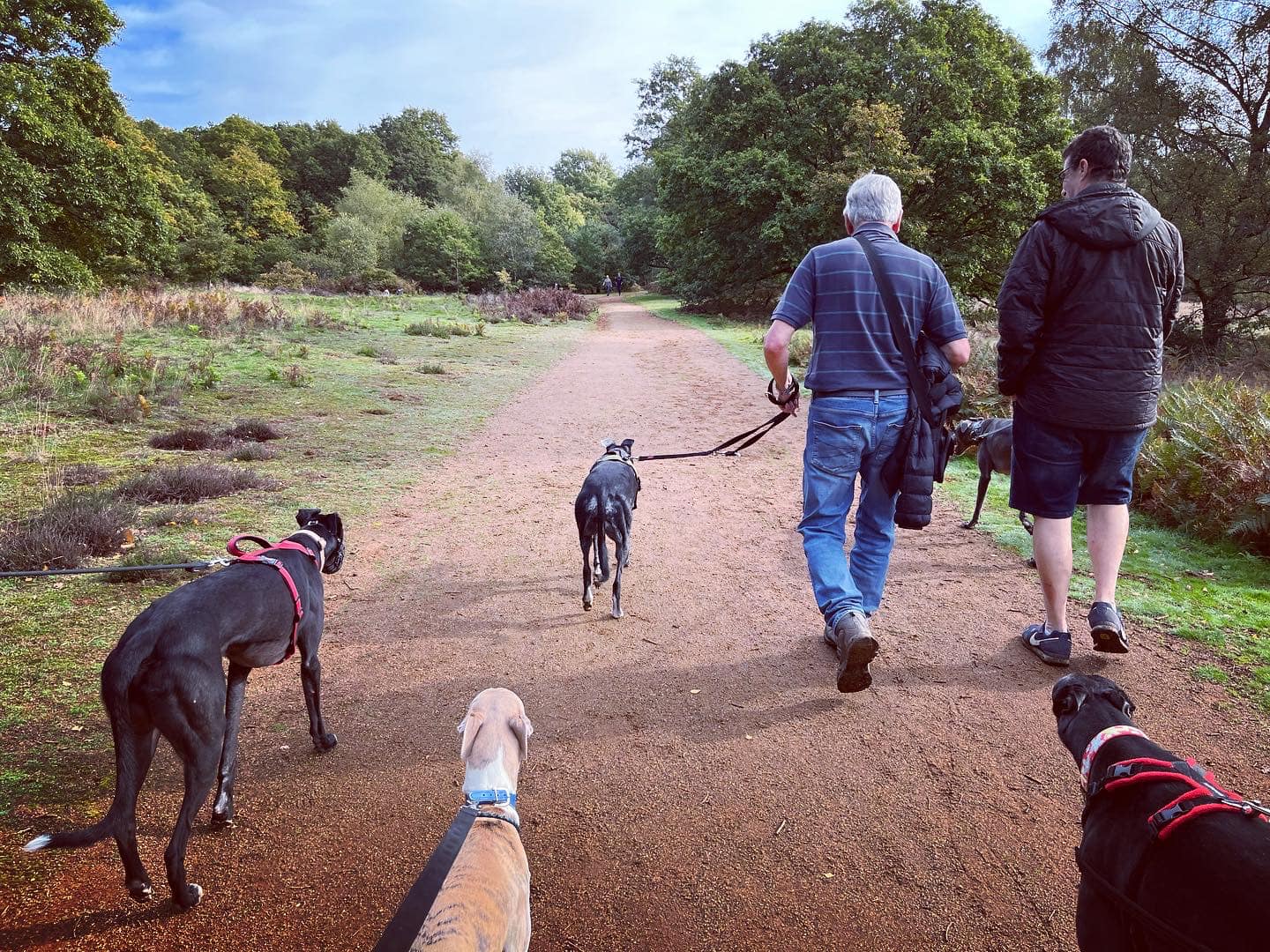
Here is a Footpath app route for Puttenham Common. Also on AllTrails. It takes you on a loop from the Top car park down through the grassy parts of the common, then through the woods to General’s Pond, before going back up the hill and past one of the viewpoints.
Length: approximately 1.9 miles/3.1 km
Terrain: Sandy soil underfoot for most of the route. A steep slope down at the start and another fairly steep one back up again about halfway round the walk but it isn’t quite as bad as the first one.
Stiles/kissing gates? No stiles, no kissing gates

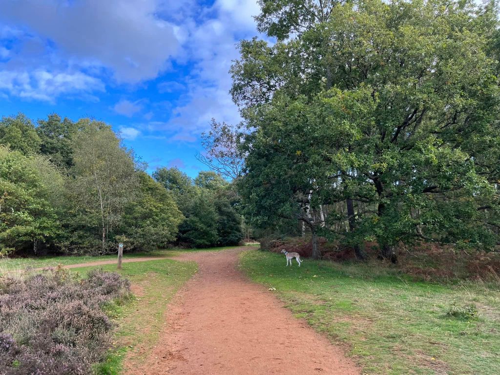
With your back to the entrance to the big square area that is the Top car park, head diagonally right towards a bin and bench overlooking a steep downward slope. Go down this slope, taking care on the deep slats of wood wedged down into the ground to create steps.

At the bottom of the steps, at the fork, turn right, walk a few paces and then turn left by the wooden poo bag holder and before the upward slope.
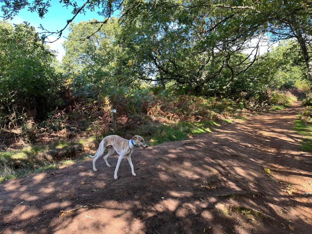
Follow this path as it bends to the right under the shade of a tree and then the way opens out with grass on either side. The path winds through ferns, grassland and heathland with oak trees dotted here and there.
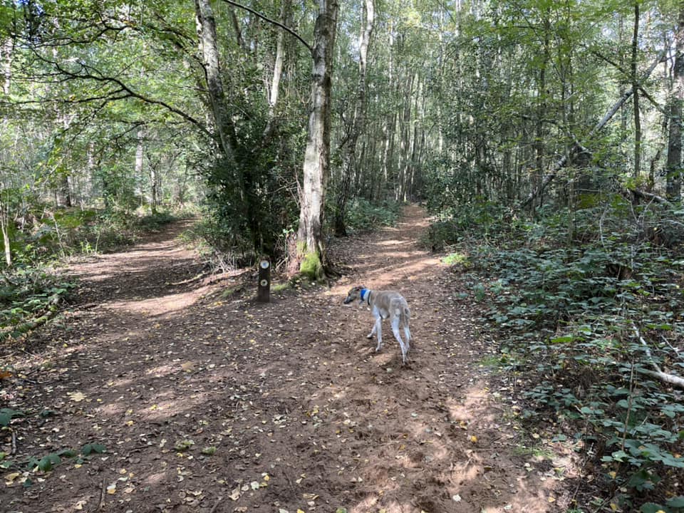
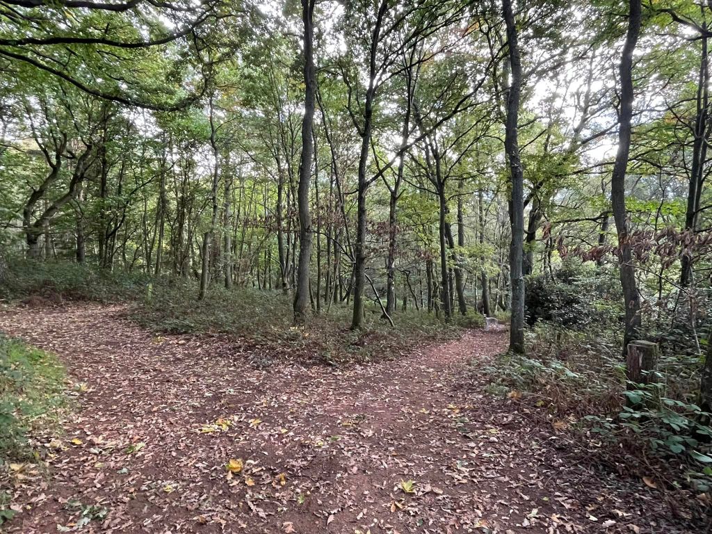
The path will then go into the trees and, almost immediately, you’ll be at a wide junction with a small marker post to the left that has two arrows on it. Continue straight ahead and then pass another small marker post (this time with one arrow on it) on your left.

Keep on ahead through the wood and then the path goes through a clearing, where there is a path it to the left – take this. It goes downslope and at the bottom there’s a cross paths. Go straight across.
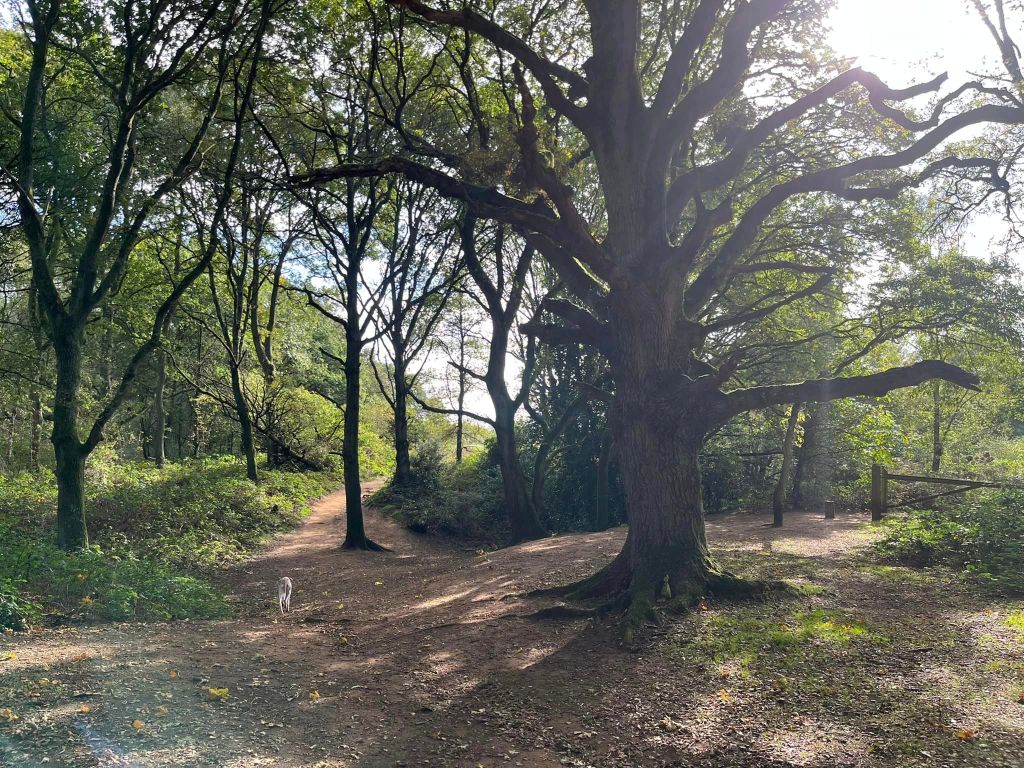
This path winds through grassland, ferns and trees. When you get to the next cross paths, turn right. Follow this path down to the corner of General’s Pond, then turn right and walk around behind the big oak tree and along the pond’s edge (the water will be on your right). There’ll be a wire fence on your left.
Continue on this path along the water and onwards as it heads away from the pond through the woods. At the fork with the stumpy little marker post in the middle, take the path on the right. This rises uphill, gently at first and then getting ever steeper. Sorry!
Follow the path up to the marker post with the three arrows on it and continue straight ahead here a few more paces up the hill to the T junction where there is yet another marker post. Turn right here. Little fact for you, you are now apparently on the site of the ancient Hillbury hill fort.

This path continues up the (now quite gentle) slope. Ignore a little path that forks off to the right and keep going to the big cross paths by the marker post with two arrows. Turn right at this post.
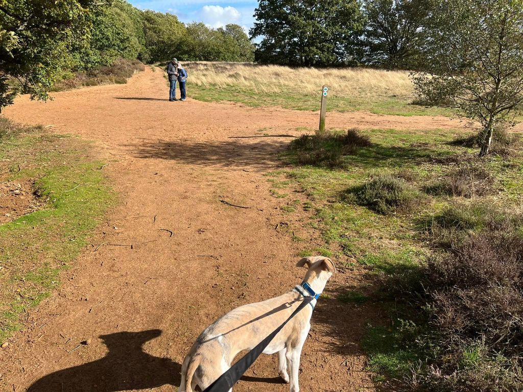
Pass another marker post with two arrows and follow the way around to the left where you’ll be treated to a lovely view over to the right and a bench on the left. It’s a good place for a pause.

When you’re done, continue on with the bench on your left and the hillside sweeping down to your right, passing another marker post with two arrows (it is on the left of the path). Take the next little path on the left (if you were to continue straight, you’d come to another marker post, which is visible from where you need to turn off, and a tree growing in a really odd position, as if slipping down the hillside).

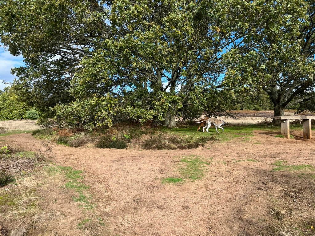
This little path brings you up to a fork by a tree with a bench in front of it. Bear left here and walk through the heather, away from the view.

Turn right at the next cross paths. Ignore a small path that joins from the right. Keep going till you reach the marker post with the arrow pointing diagonally right and turn right to walk in the direction it indicates.
Where the path splits either side of a telegraph pole, keep to the left. (Over to your right, you can see a sign post.) Just keep straight, passing a small marker post on the left.
Walk to the side of the wooden gate. Ignore the path to the left and take the first little path off to the right.
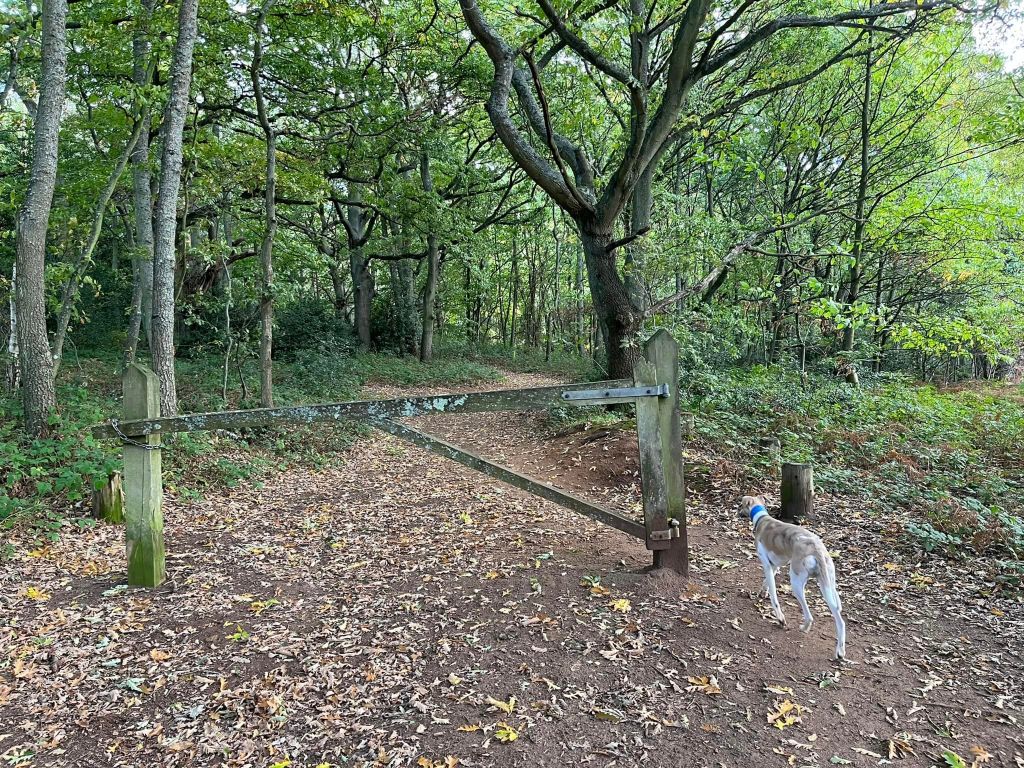
This small path winds up and down through the woods. Ignore any little paths that come off on either side. Pass another marker post (this one to the right of the path). Keep going straight ahead at the big tree where there is another wooden gate to the right. Follow your path down the dip and back up again.
It then emerges from the woods to a grass area and you’ll see the car park up ahead.

Thankyou ??????
Sent from Samsung Mobile on O2 Get Outlook for Androidhttps://aka.ms/AAb9ysg ________________________________
LikeLike