Page contents
About
Gallery
Instagram reels showing here
Parking
Poo bins?
Self-guided walk
About
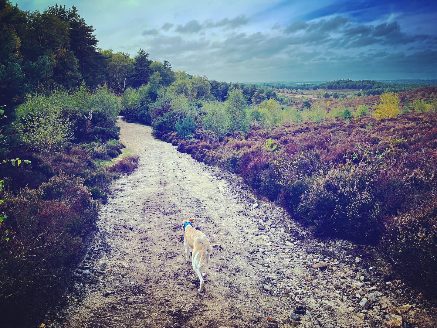
Hankley Common is a 560-hectare nature reserve near the village of Elstead in Surrey comprising lowland heath and woodland. The site is part of the Thursley, Hankley and Frensham Commons Special Area of Conservation and a Site of Special Scientific Interest.
Owned by the Ministry of Defence, Hankley Common has a rich military history and is home to a reconstruction of the Atlantic Wall and a Second World War pill box. It was considered London’s last line of defence in the war – if the enemy got past here, they were as good as on the city.
Despite being called Hankley Common, this is not actually registered common land and there are only a few Public Rights of Way (PRoW) bridleways and footpaths crossing it. However the Byelaws state that the general public is permitted to use the lands for open air recreation providing it does not inhibit military use. The common is still used as a military training area for soldiers and cadets. Troops training here are briefed not to fire blanks within 30m either side of a public right of way, nor to use pyrotechnics (flares, smoke grenades, thunderflashes etc.) within 100m either side when members of the public are present but do be vigilant. Please ensure you adhere to MoD signs and instructions from military personnel.
The area has attracted the attention of filmmakers over the years as a setting for various blockbusters including the James Bond movies The World Is Not Enough, Die Another Day and Skyfall, and the Marvel film Black Widow. It has also featured in episodes of Doctor Who, Blackadder Goes Forth and Ultimate Force.
Note – I have quite a few other walks for this area, including:
– Elstead Common from Moat Pond
– Royal Common, Forked Pond and Thursley Nature Reserve fringes
– Thursley Common National Nature Reserve
– from the village of Thursley (to be added)
– Hankley Common – Atlantic Wall
– Hankley Common – route following the Greensand Way through Hankley golf course and via Stockbridge Pond (to be added)
– Churt Common/The Flashes, Axe Pond and Stony Jump
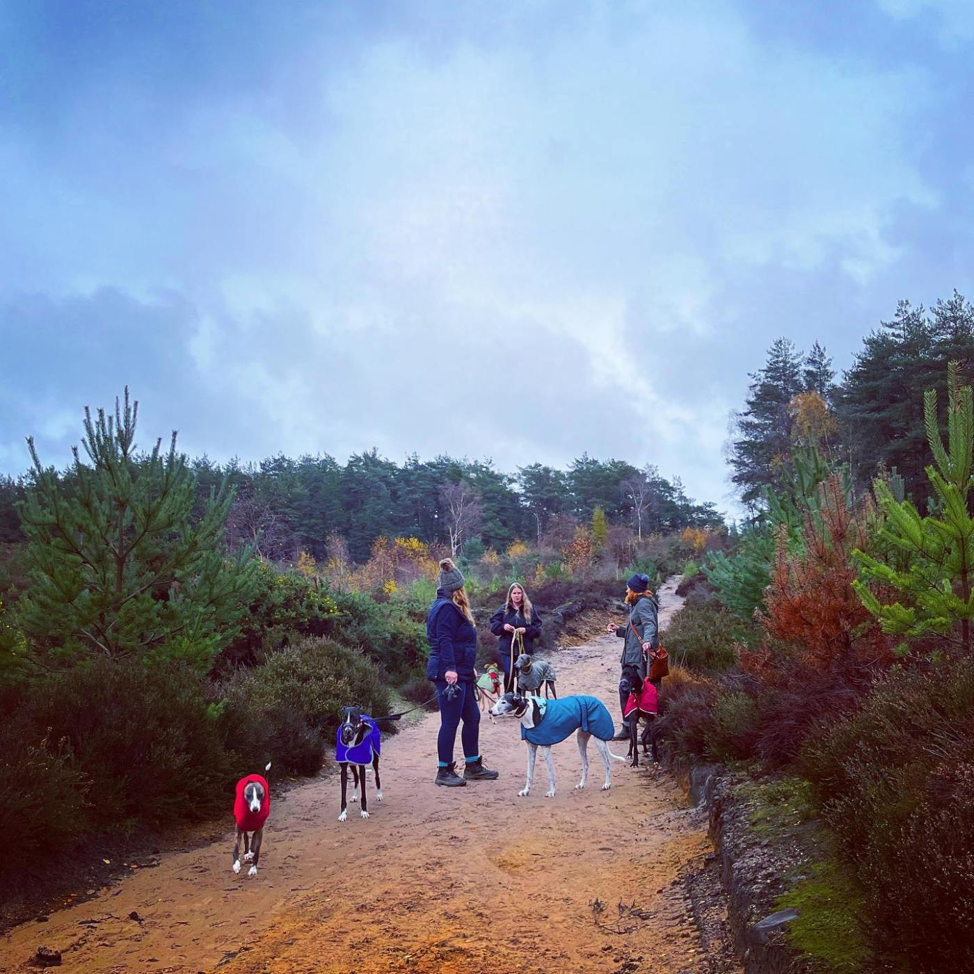
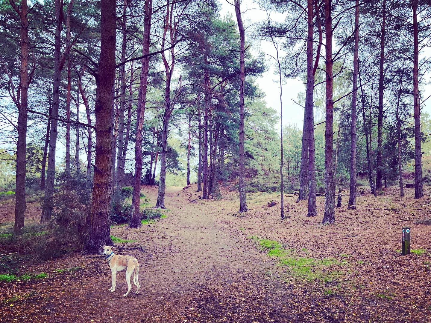
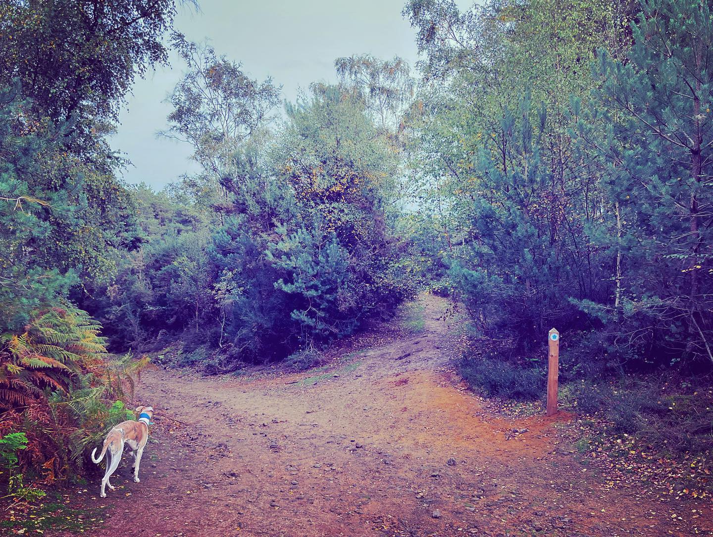
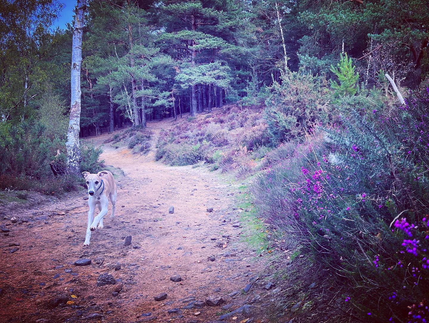
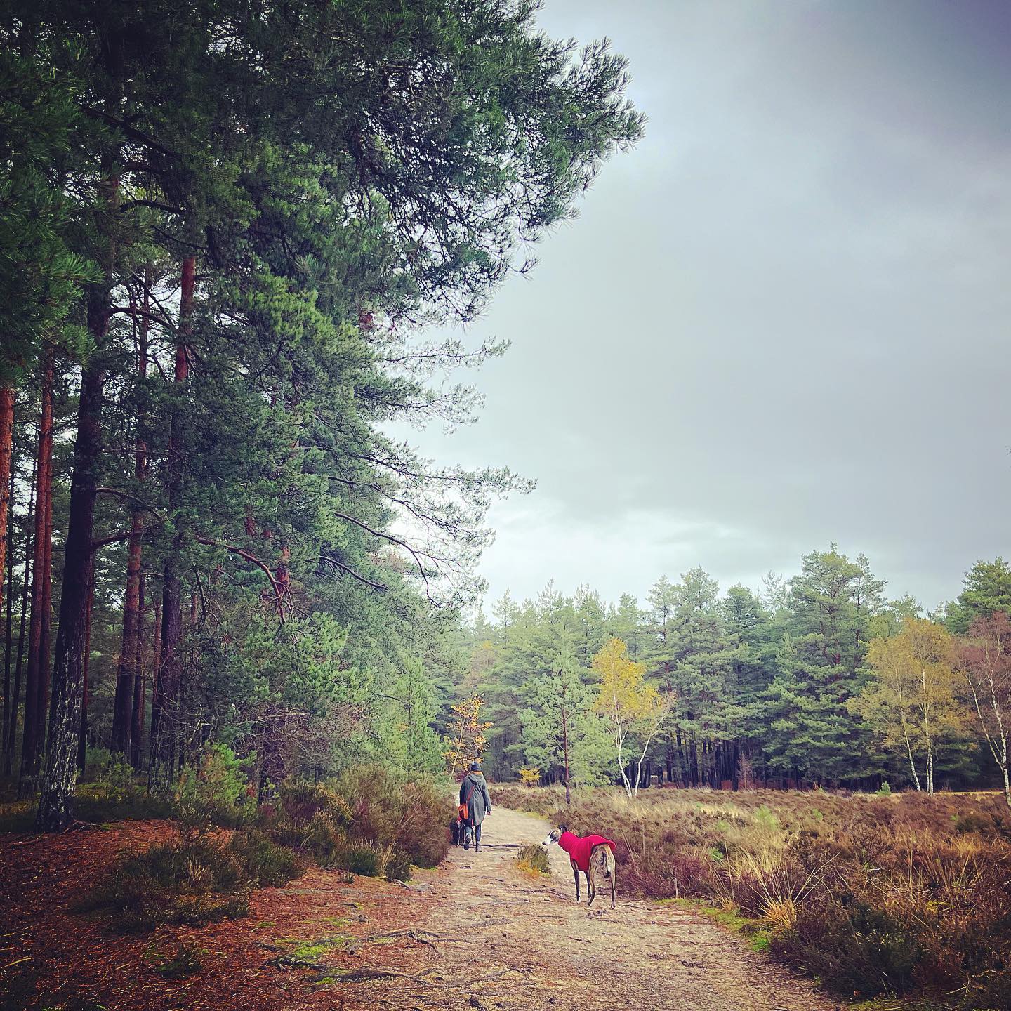
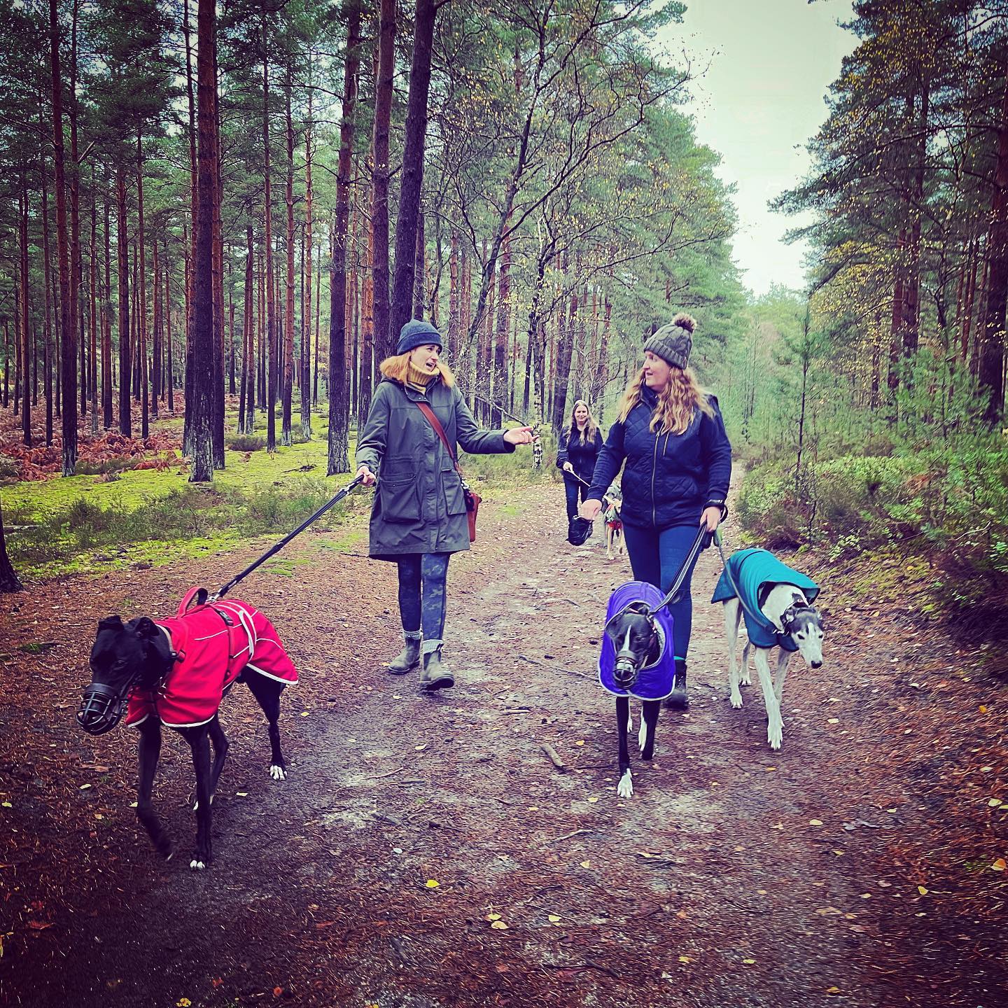
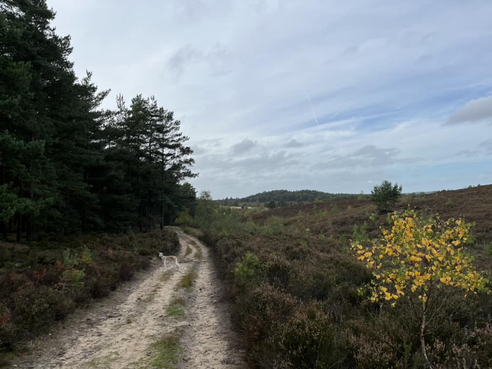
The Gallery: What’s it like here?


Instagram reels showing here
Parking
The car park for this walk is located on Thursley Road between Rushmoor and Pitch Place. Despite serving Hankley Common and not being in Thursley, someone has named it “Thursley public car park” on Googlemaps, which I think is misleading, but there we go. The nearest post code, which is slightly out, is GU10 2LQ.
Poo bins?
There is a poo bin at the car park but no others on the walk route.
Self-guided walk
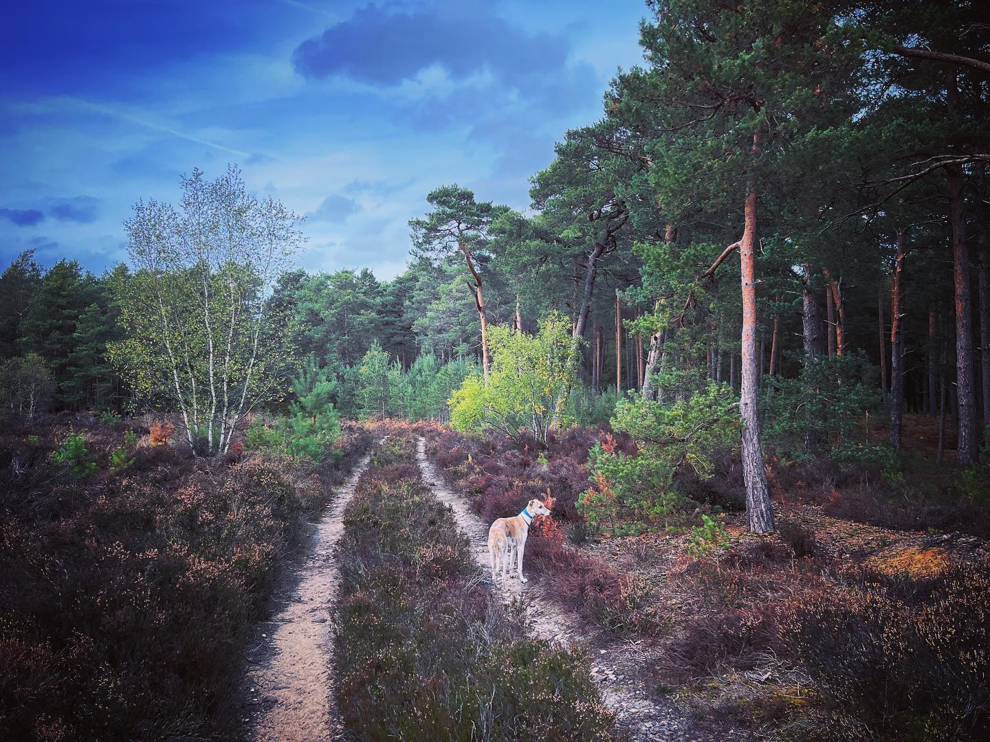
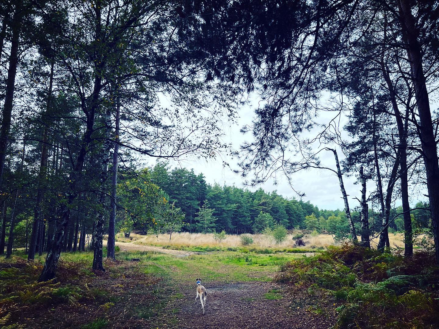
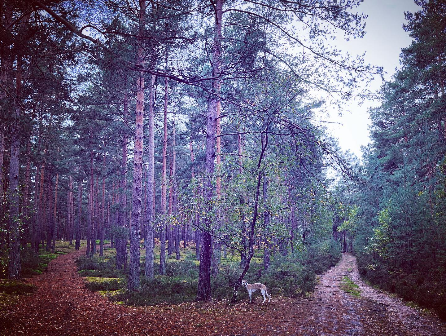
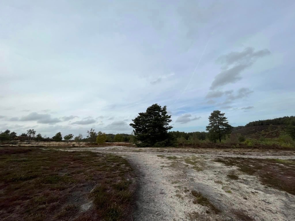
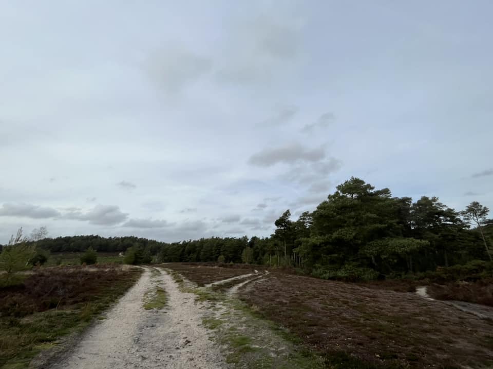
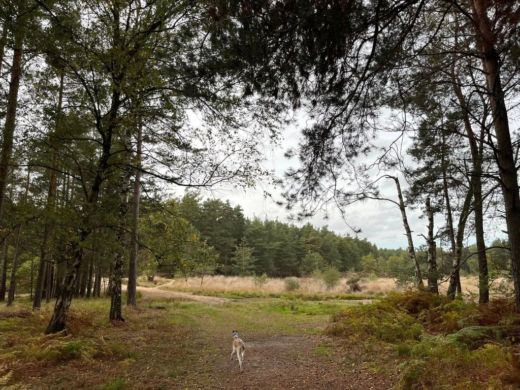
Here is a Footpath app route for the south part of Hankley Common from the car park at Pitch Place. Also on AllTrails. It takes you through woodland and heathland on a relatively flat walk, considering the terrain of the area. There is a slope early on and another at the end – the one at the end goes uphill and is the gentlest way back up to the car park. The ground is mostly sandy and doesn’t get muddy even in winter, but there can be large puddles to wade through or skirt around at wetter times of year.
Length: approximately 2.7 miles/4.35 km
Terrain: Mainly wide sandy paths, sometimes there are large puddles
Stiles/kissing gates? No stiles, no kissing gates
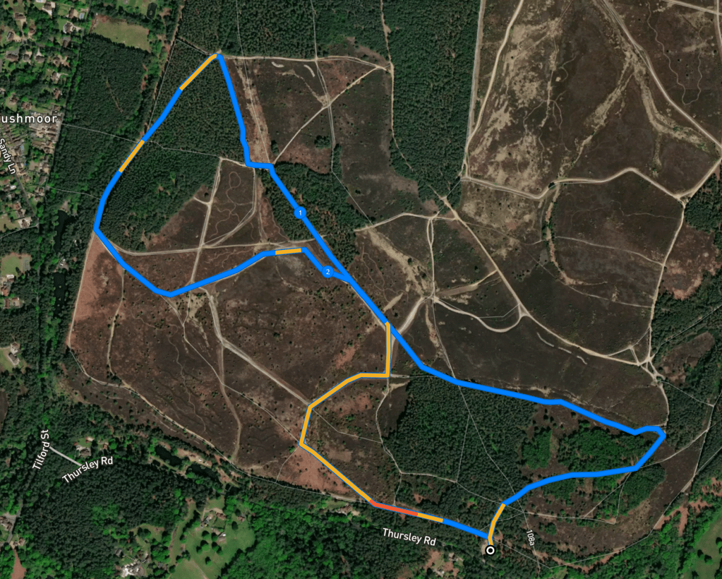
Pass to the side of the vehicle barrier at back of car park and walk straight ahead between the trees and up the gentle slope.

Stay on this main path, ignoring those off to the left and right. Continue ahead, passing a stumpy marker on the right hand side of the path, which bears round to the right.
You’ll come to a junction of cross paths by a marker post. Turn left and head down the gentle incline.
As you reach a patch of woodland on the right, take the next path on the left. It goes downhill and is quite sandy, then bears round to the right and is relatively straight as it continues to gently descend. Presently there will be tall trees on the left and heathland on the right that dips down (there’s a small stream but it’s hard to get to through the heather) and then sweeps up to the top ridge (I have an alternative route here that I may one day get around to writing up that takes you along the ridge instead of down this sandy path.)
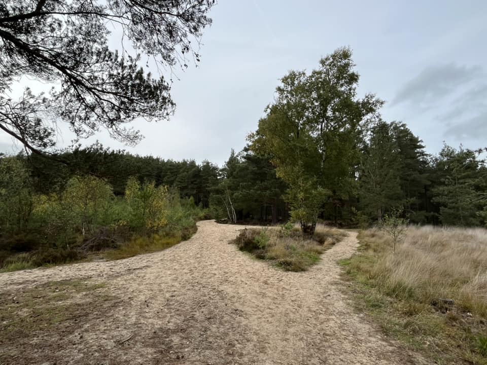
When you get to the cross paths, continue straight ahead, then at the fork (which you come to almost immediately), take the right-hand path. This rises up a short but sharp slope then flattens out again.
At the next (really wide!) cross paths, dog leg left then immediately right to basically continue ahead.
The path here is wide and largely flat. Keep your eyes peeled for a track off to the right – this has clearly been driven down by military vehicles and you’ll see it is basically two tracks created by tyres with heather in the middle of them.
Shortly, you’ll come to a cross paths – continue straight over and the path goes between trees.

When the path emerges from the trees (there is often a bloody great big puddle here), bear round to the left, passing a tree stump to the left of the path. At the triangle of vegetation, turn right.
This path then skirts the woods (on its left) and has heathland on the right-hand side.

At its end (where ahead – almost hidden in the trees – is a pond), turn left at the junction of paths and follow this path round to the left. The path then forks – keep left at this point on what is clearly the main track. (There is a path off this main track that goes uphill to the left through the trees – you can take this if you fancy, it doesn’t matter as it comes down to the same place.)
When you get to the junction of paths by the telegraph pole, continue ahead under the wires and the path will reach the end of the woods (on the left). Here, it opens out and you have a choice of three ways: straight ahead, left along the treeline or a path in between, which heads diagonally left.
Take the middle path and stay on it (which will shortly mean ignoring a path off to the right.) Then go straight ahead over the next cross paths (where the path to the right goes up a steep slope.)
The path you’re on now will go up a slight incline then down a dip and then back up again. Follow it up and round to the right. You may recognise where you are – as you are very, very briefly retracing part of the route you walked earlier.
At the next wide junction, keep sweeping round to the right. Follow the path round to the right at the next junction too (the paths to the left and ahead are both narrower, with the one ahead also going up a hill.) The main path that you stay on here ascends but it does so pretty gently.
You then come to another junction of paths, where you continue straight ahead [By the way, the wide path to the right here goes up a hill and there is a tiny track off the top of it (to the right) that goes to the memorial of Emily Bossom; who died in a plane crash here in July 1932.]
The path is narrower and then bends to the left. Then keep straight on and a house (behind a hedge) will come into view over to the right. Continue straight and pass under the power lines to join the common’s main perimeter path, which is lined by a wooden fence here. Keep going up the slope following under the electricity lines and presently you’ll arrive back at the car park (on your right).
