Page contents
About
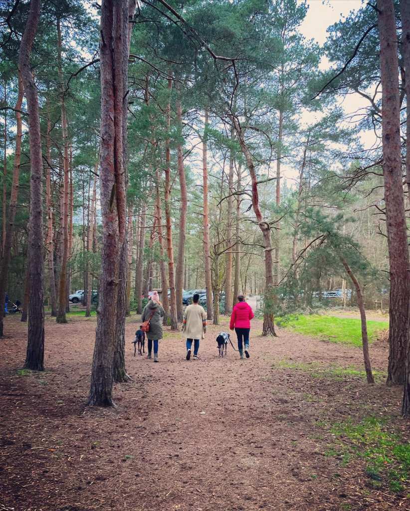
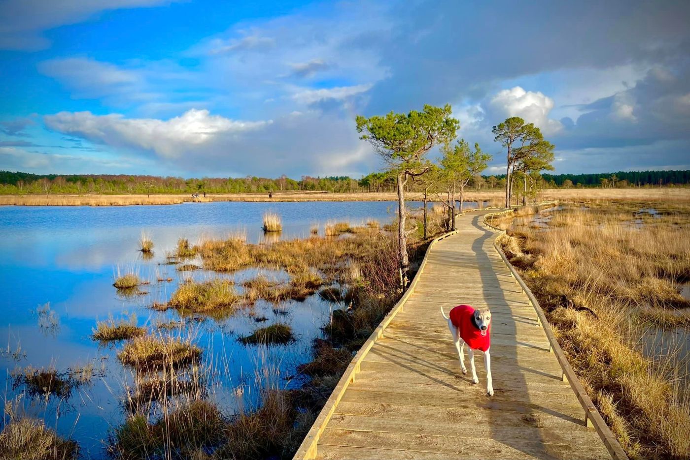
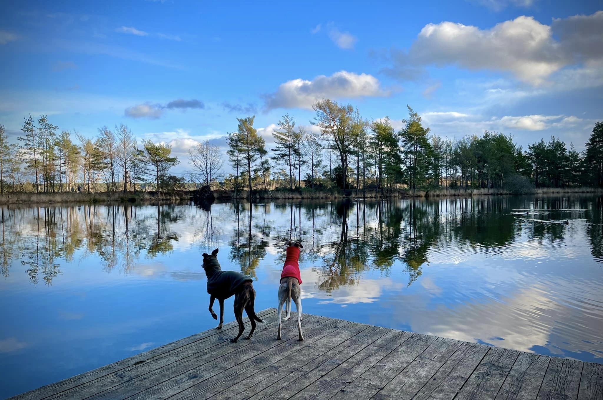
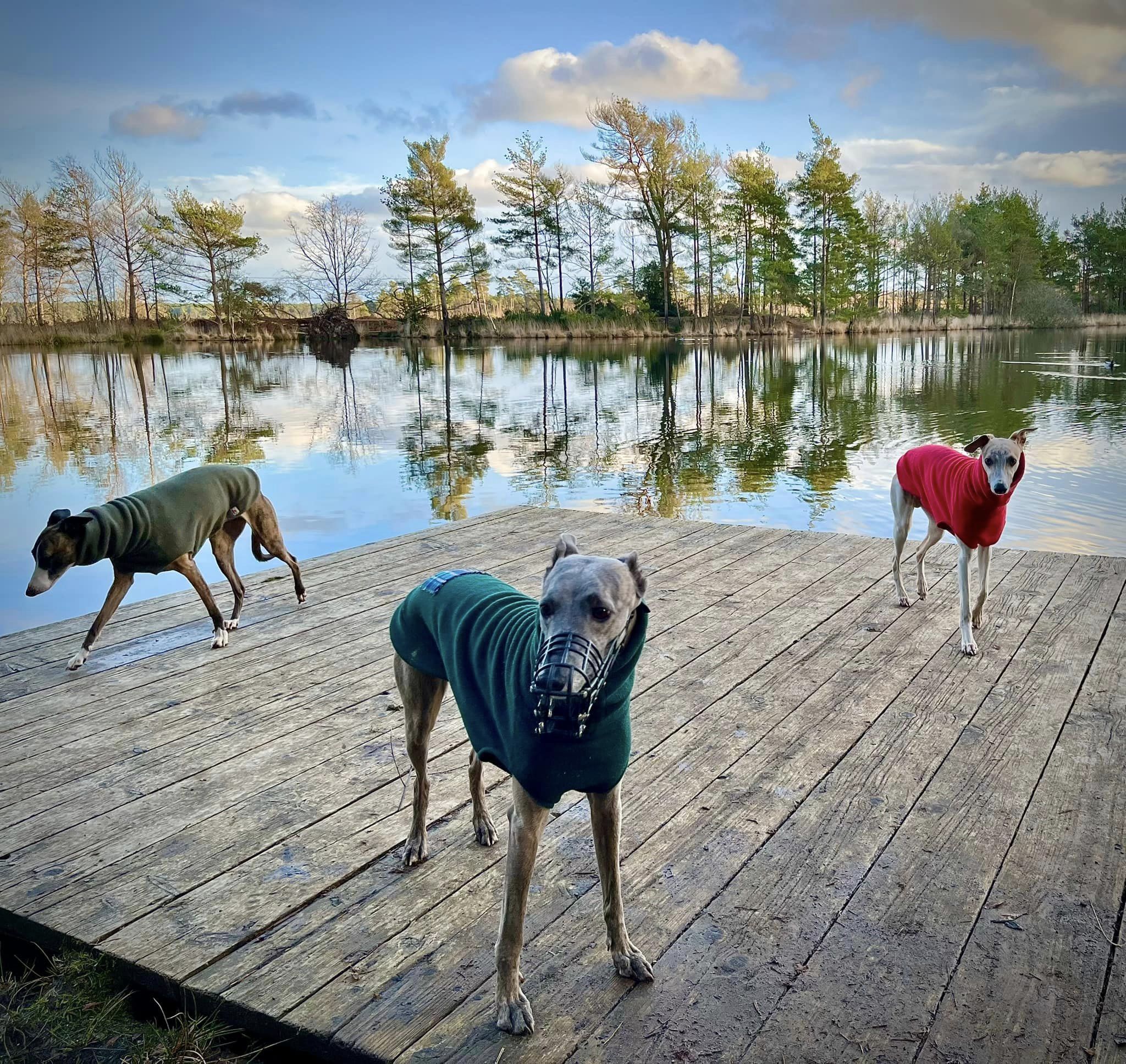
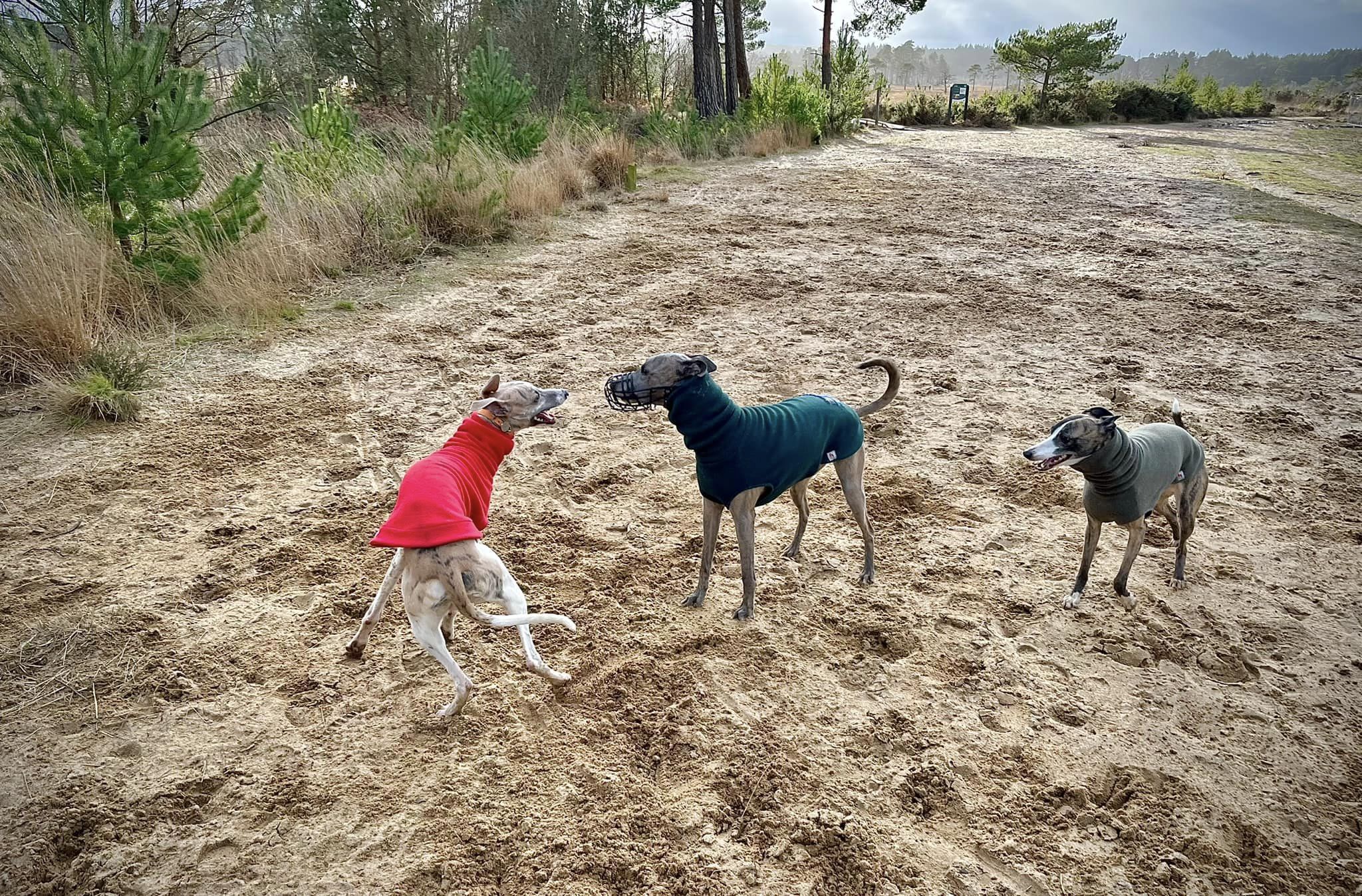
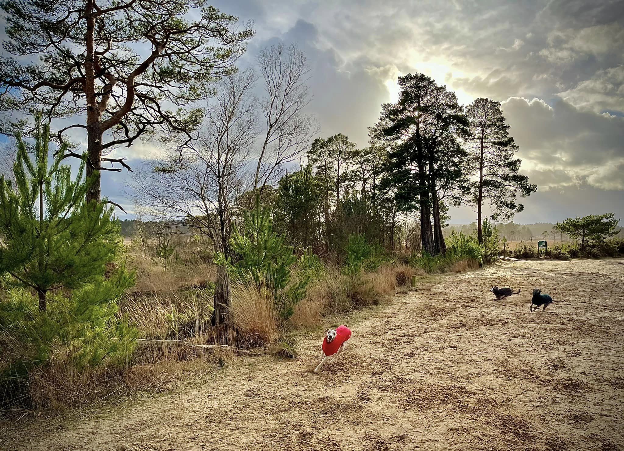
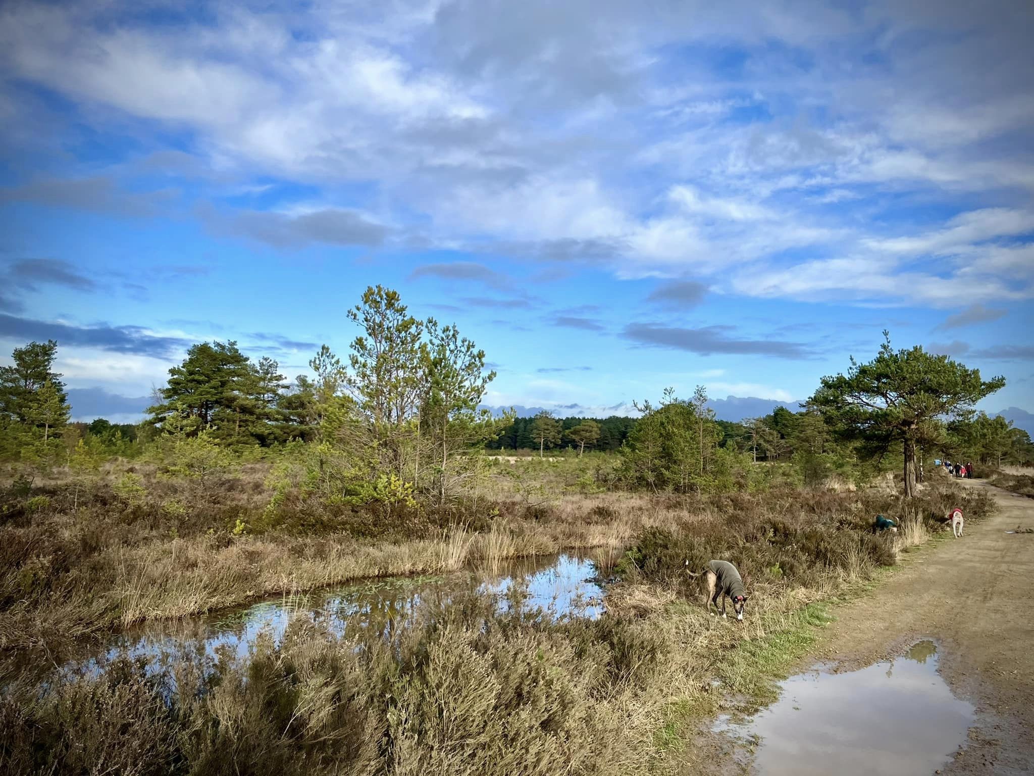
Gallery
Instagram reel showing this place
Parking
Poo bins?
Self-guided walk
About
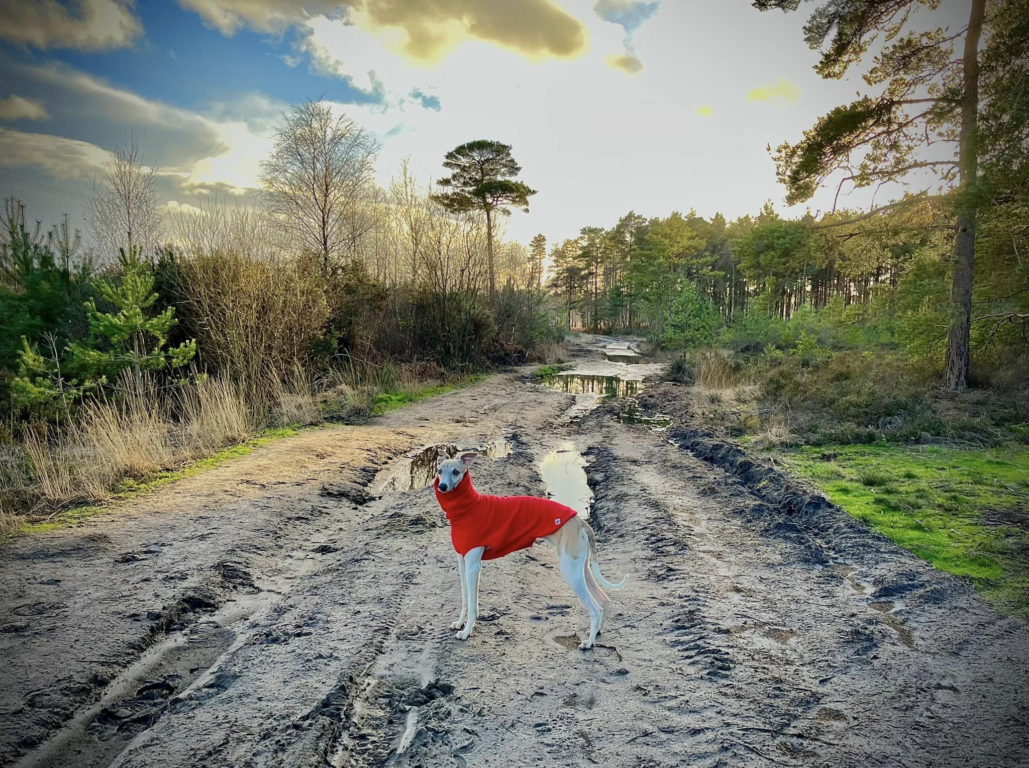
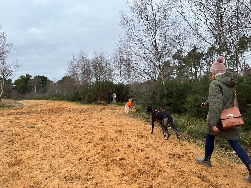
Thursley Common, located between the villages of Thursley and Elstead, boasts some 325 hectares of open dry heathland, peat bogs, and pine and deciduous woodlands. As extensive as it may be today, it is just a remnant of what used to be vast heathlands covering this part of Surrey. Looked after by Natural England, the common was designated a National Nature Reserve and protected ‘Ramsar’ wetland in February 1994 and is a Site of Special Scientific Interest due to its rare habitats, birds, insects and reptiles.
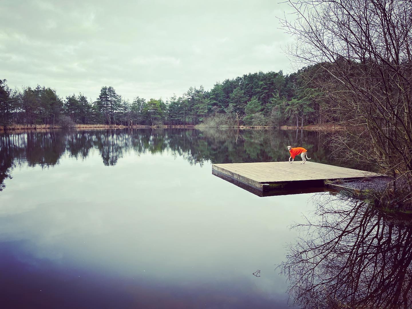
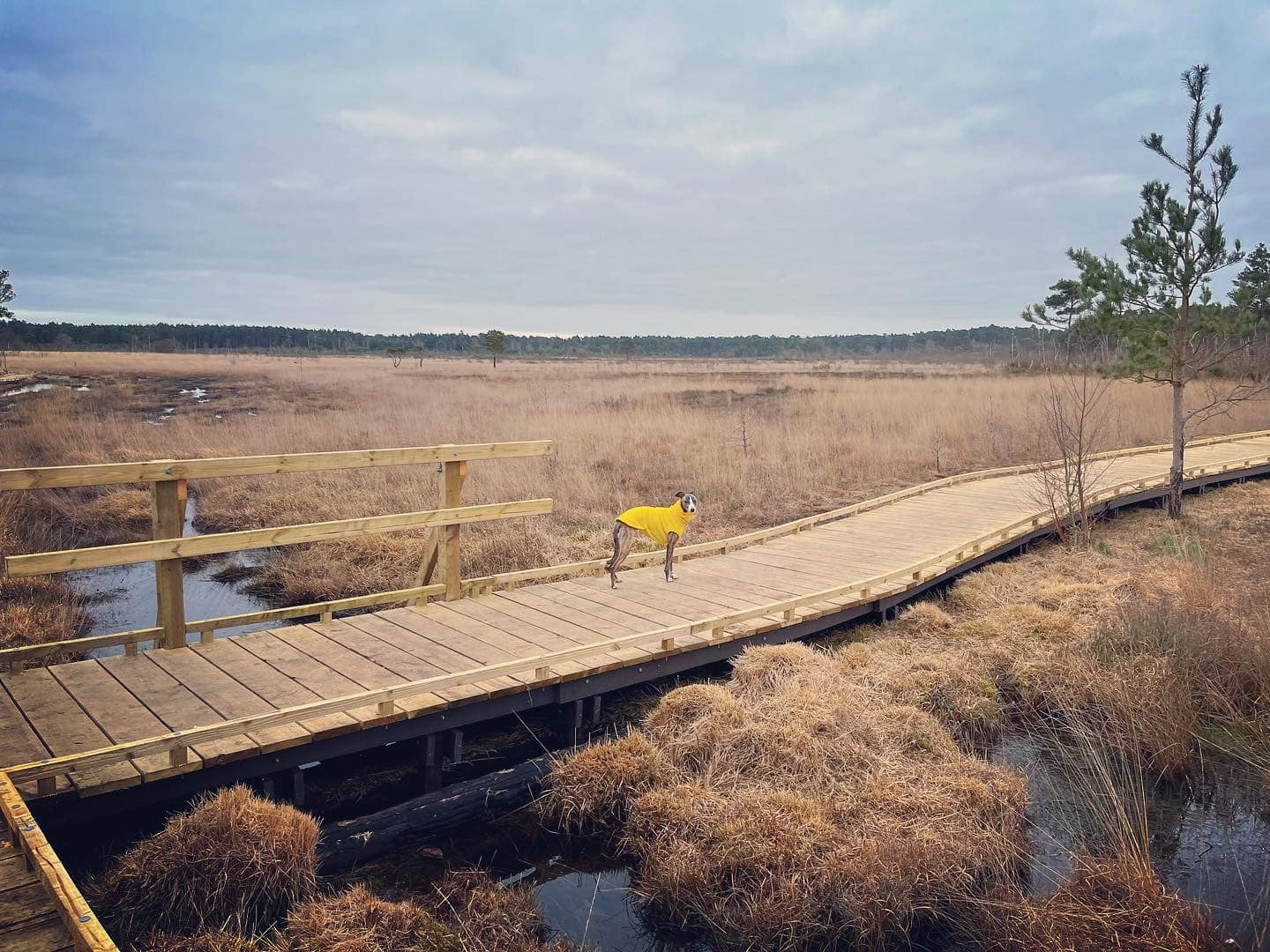
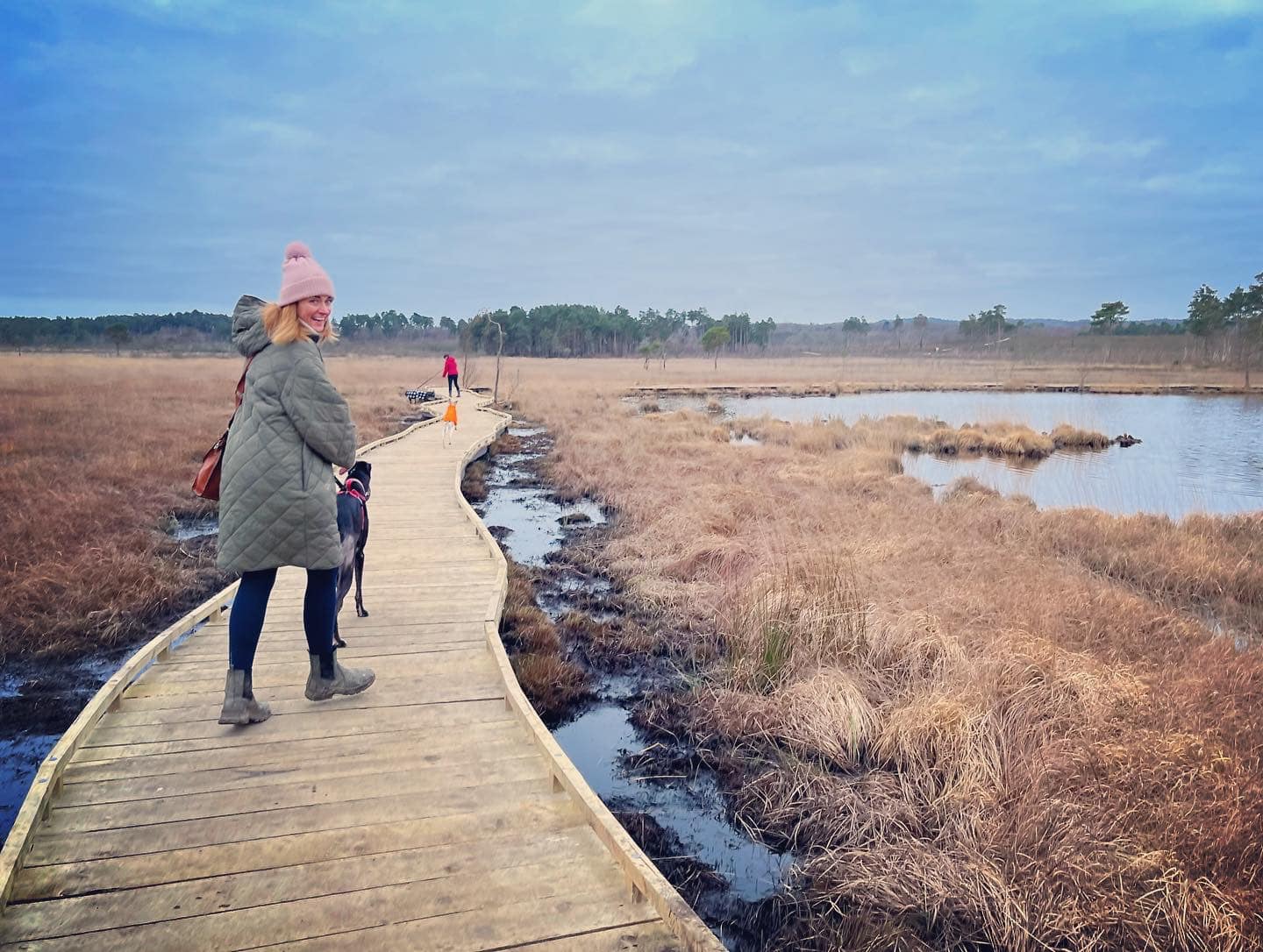
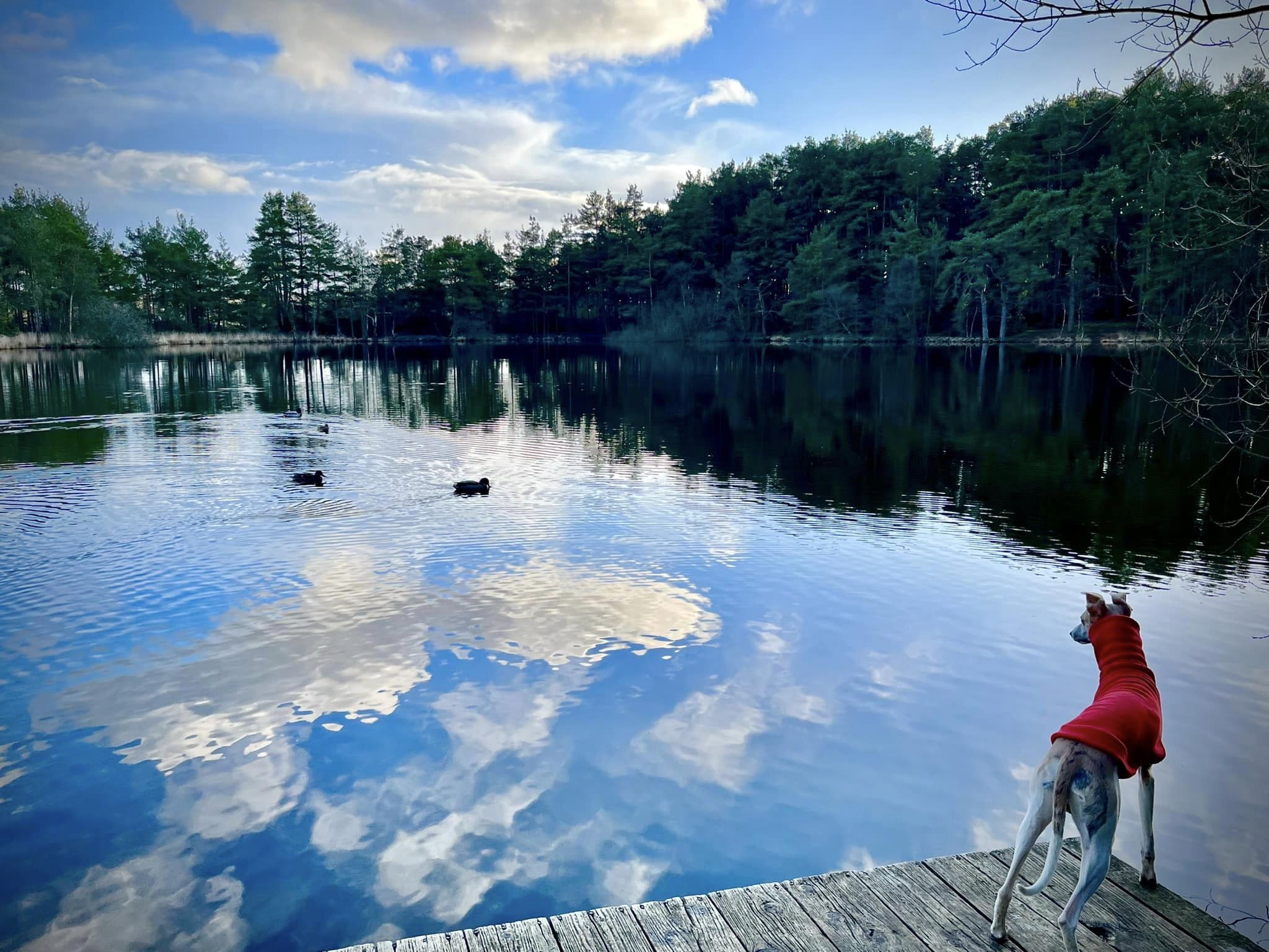
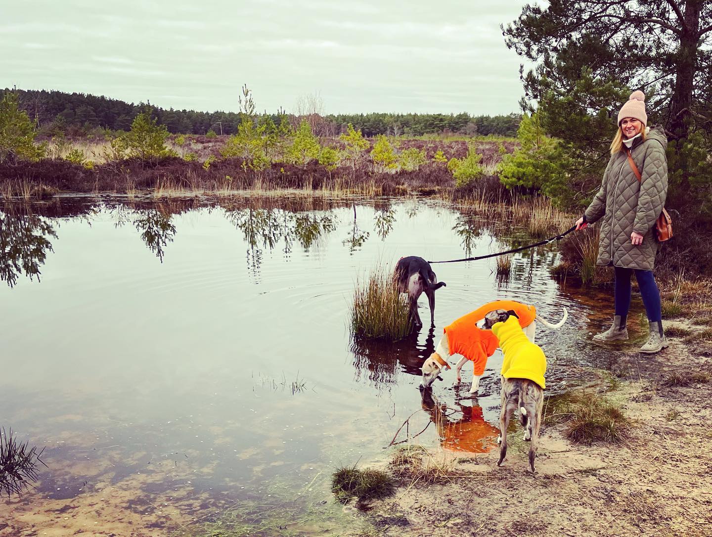
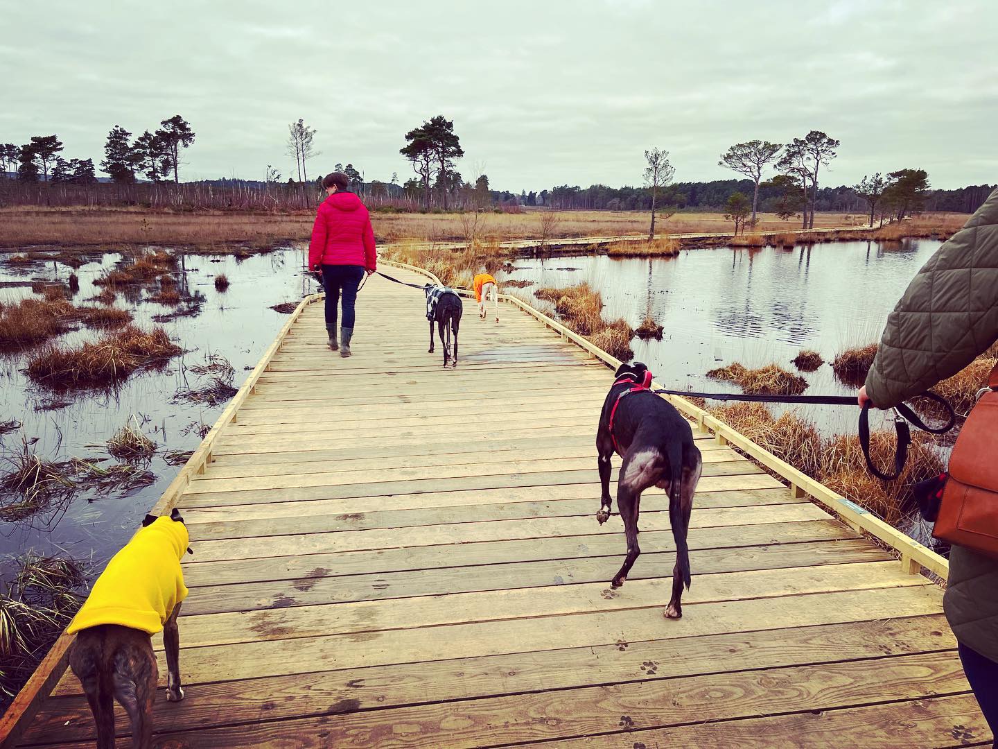
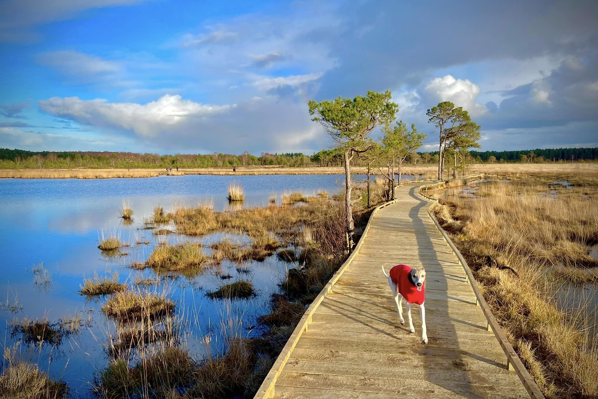
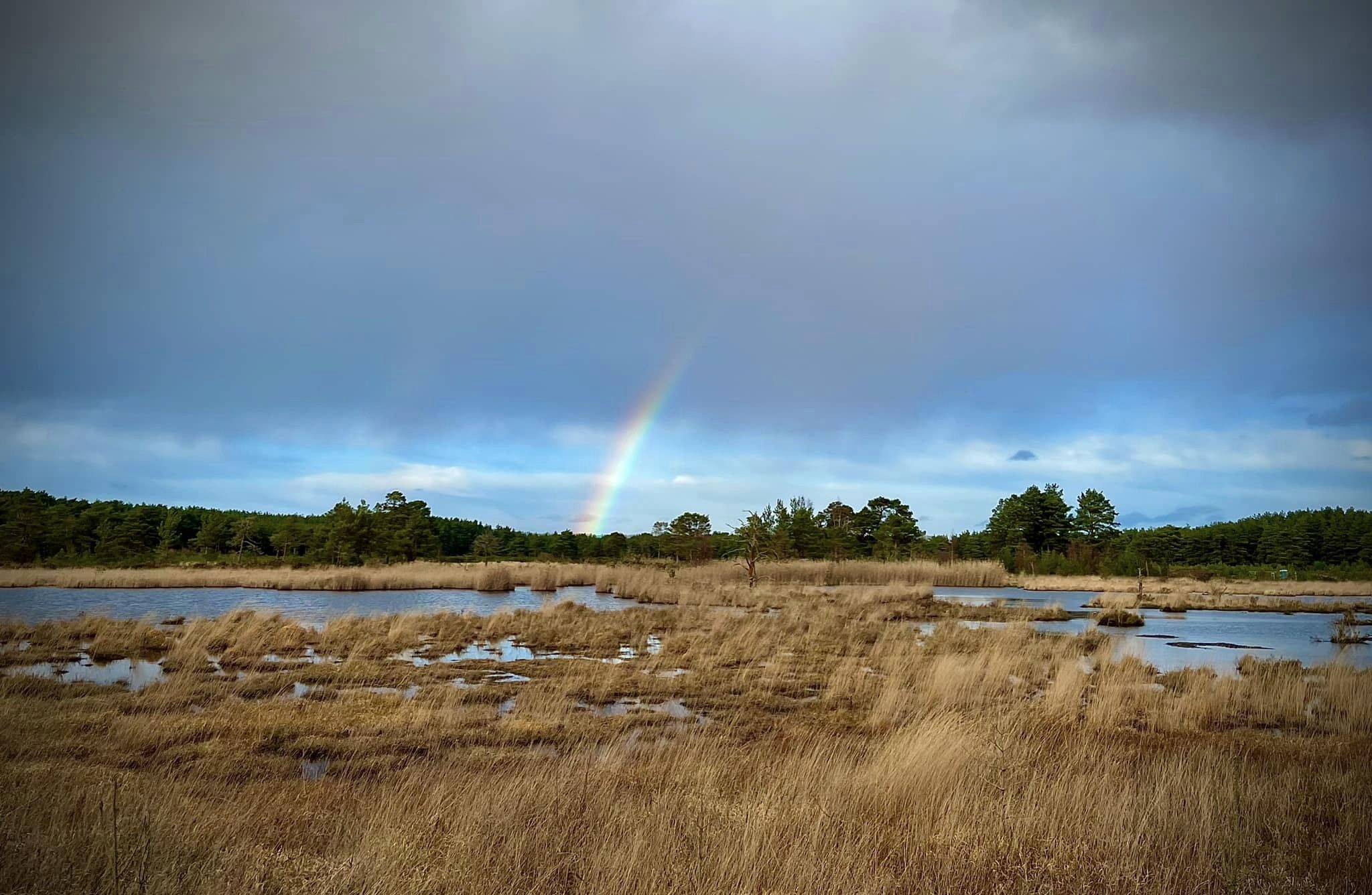
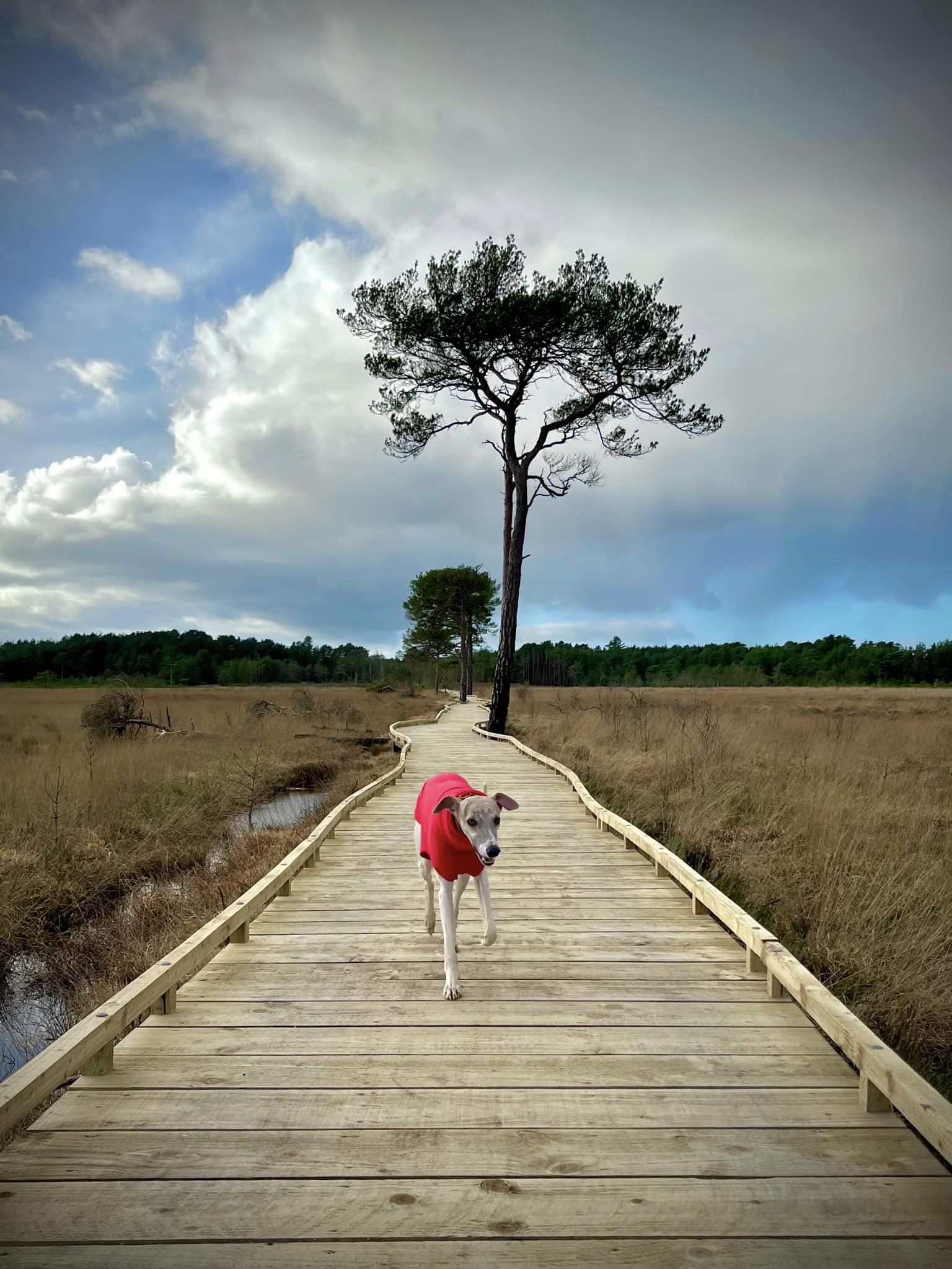
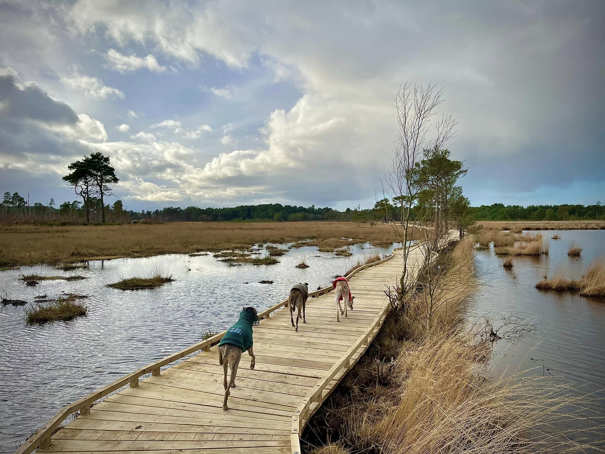
20 species of dragonflies and damselflies have been recorded at its ponds, including Moat Pond, next to which is a car park. A huge fire in May 2020 destroyed 150 hectares of the reserve and most of the boardwalks allowing visitors to walk through the marshy Pudmore Pond. A ‘Preserve the Reserve’ fundraising campaign by the Friends of Thursley Common raised enough money to replace them and the new boardwalks opened to the public in January 2023.
The ancient name for the village of Thursley was Thor’s Lee, which means Thor’s Field. According to Norse mythology, the god Thor fought many fierce battles here. That isn’t the only war connection for this area of Surrey; during the Second World War, Allied troops trained for D-Day on the commons, and the Ministry of Defence is still active here – particularly on Hankley Common, which is just over the road.
Note – I have quite a few other walks for this area, including:
– Royal Common, Forked Pond and Thursley Nature Reserve fringes
– Hankley Common route via Kettlebury Hill that passes the pill box and reconstruction of the Atlantic Wall
– Elstead Common
– from the village of Thursley (to be added)
– Hankley Common – route following the Greensand Way through Hankley golf course and via Stockbridge Pond (to be added)
– Hankley Common – south side from Pitch Place
– Churt Common/The Flashes, Axe Pond and Stony Jump
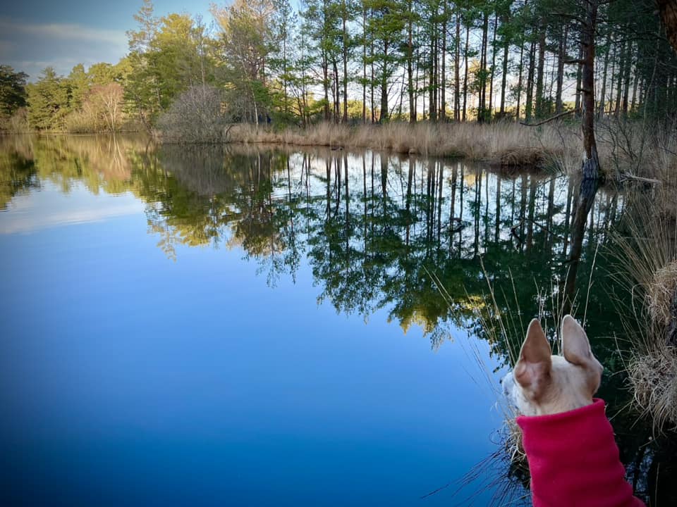
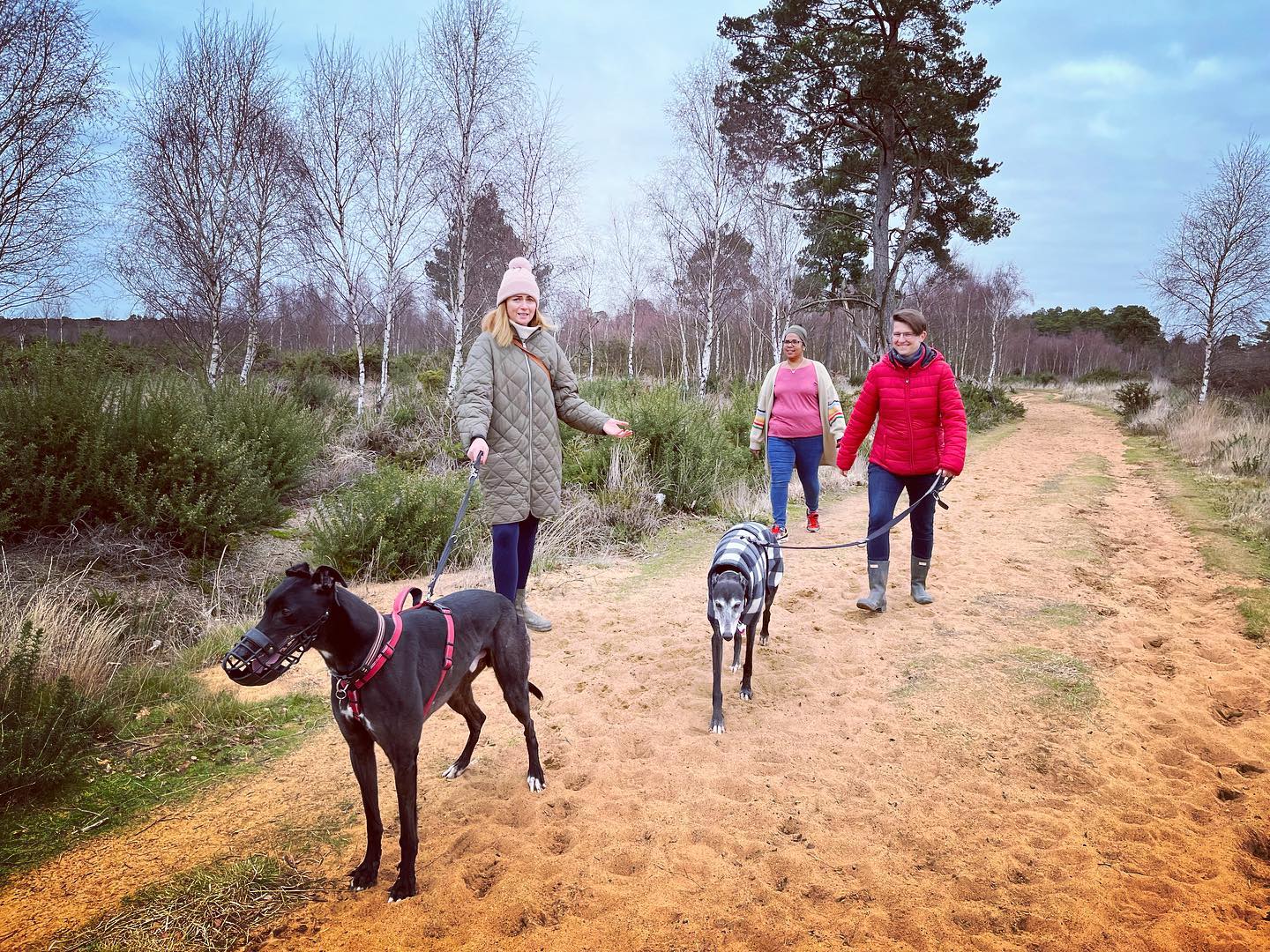
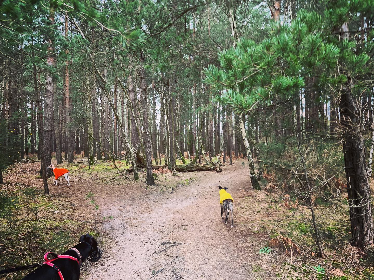
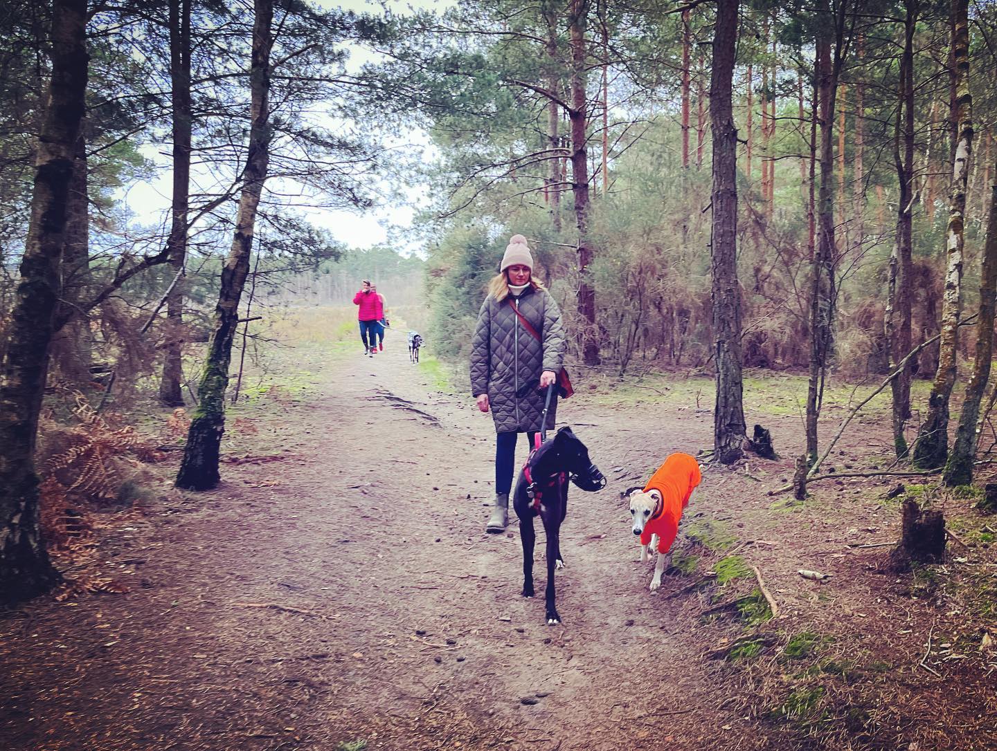
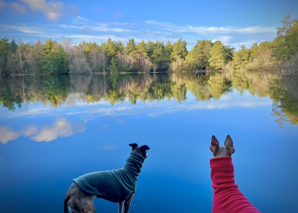
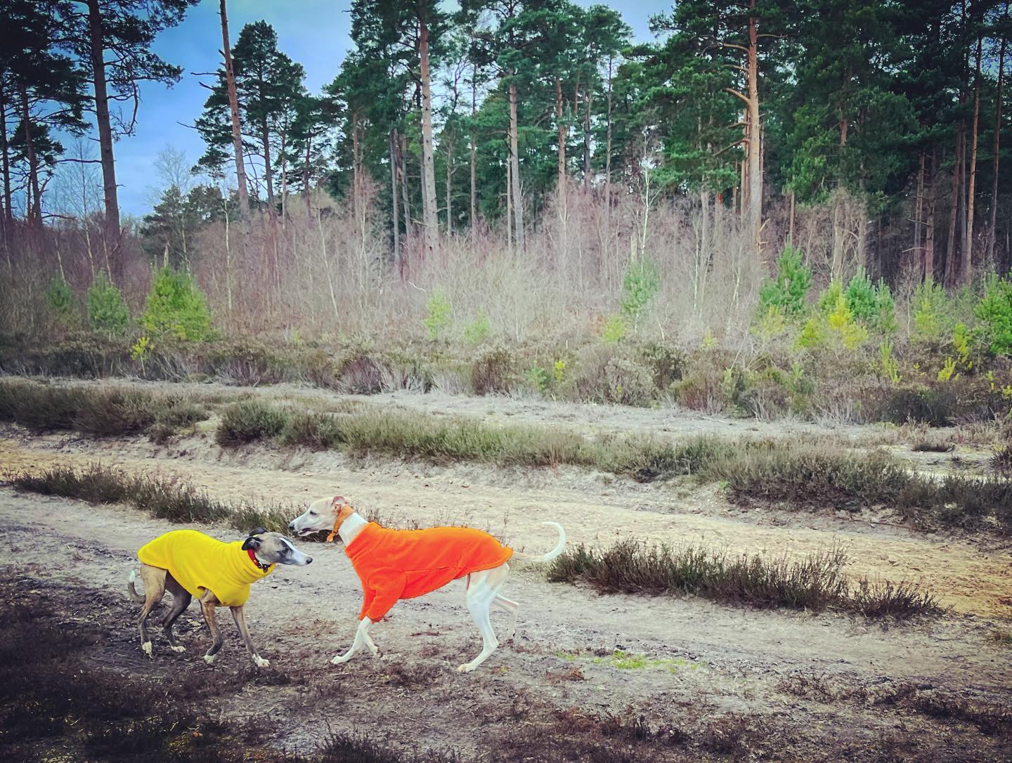
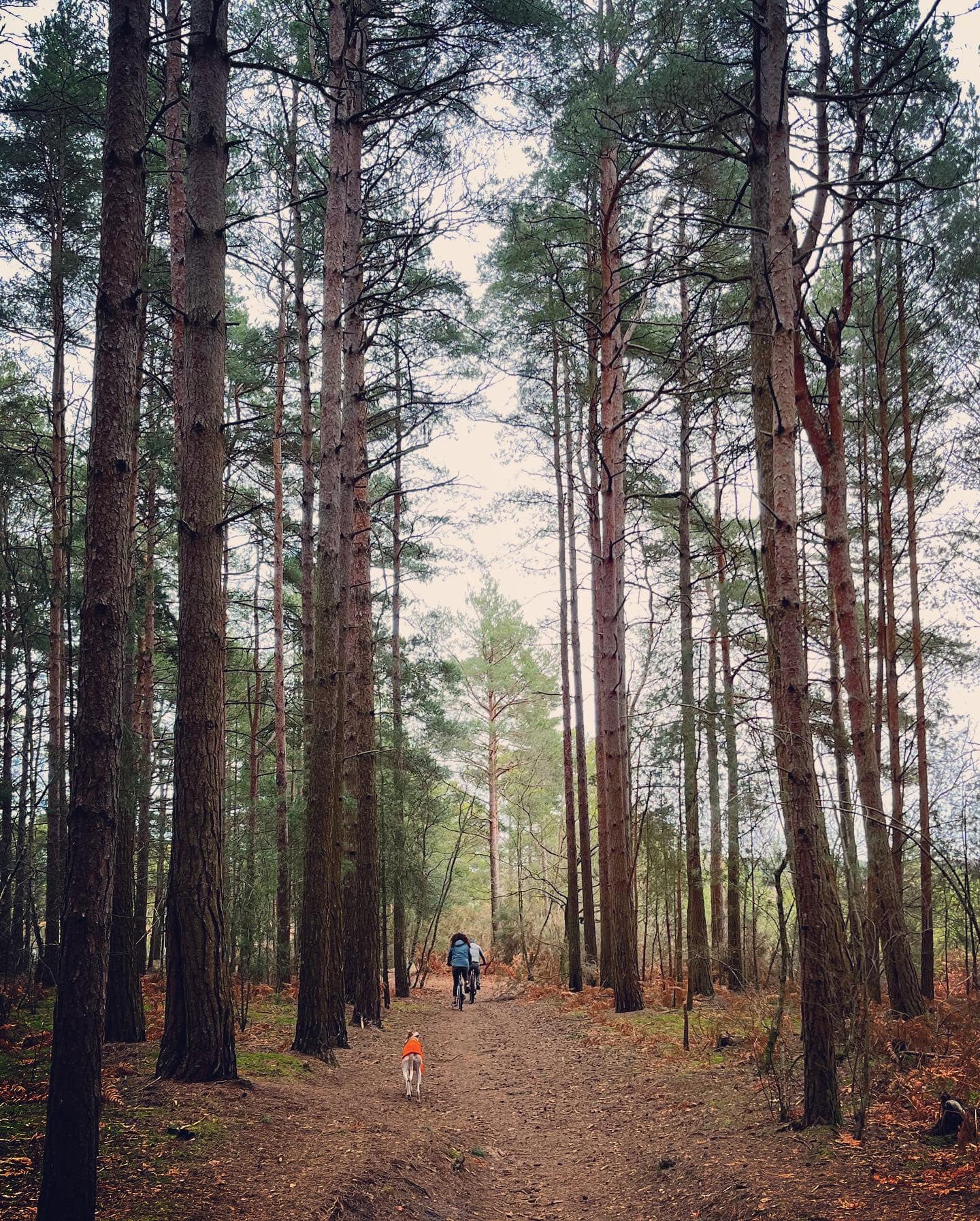
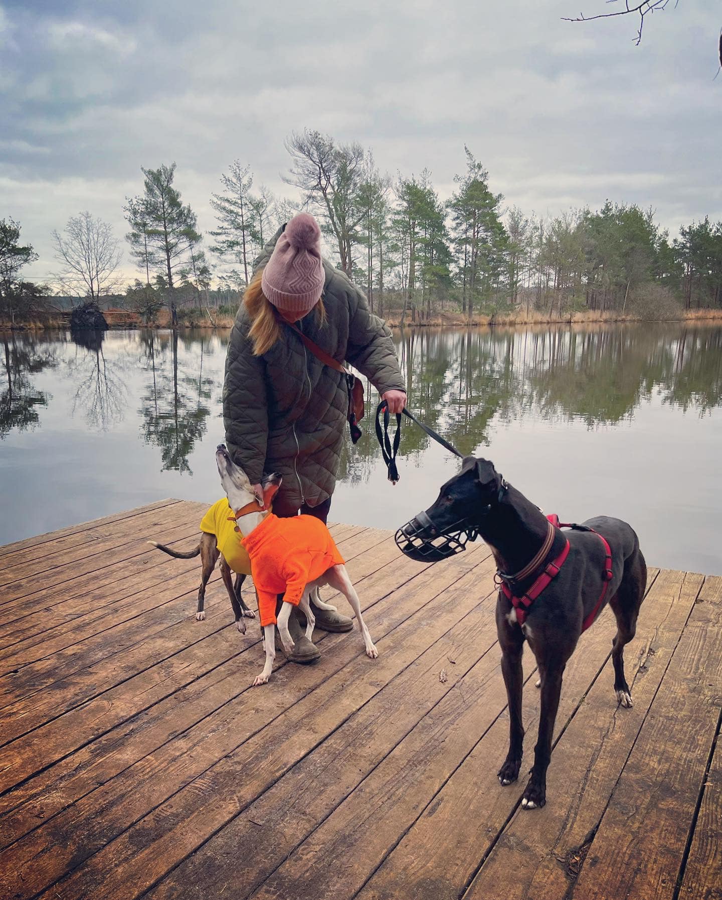
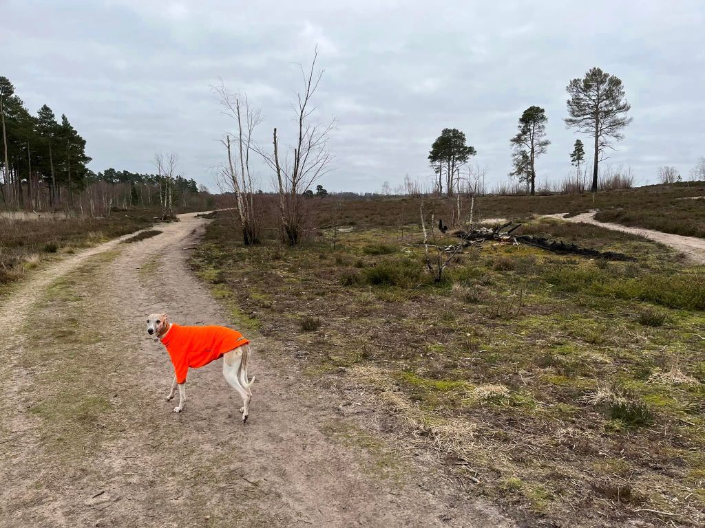
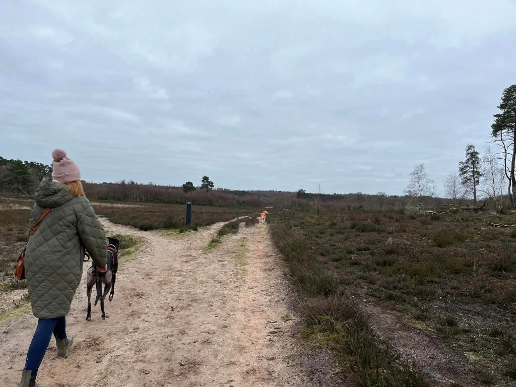
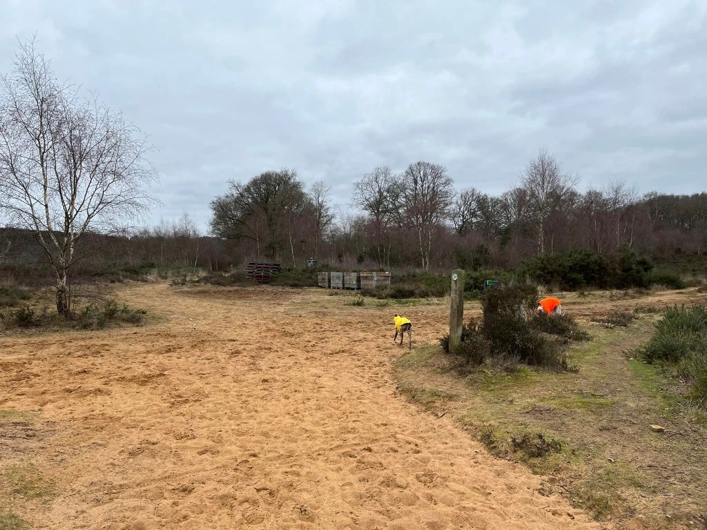
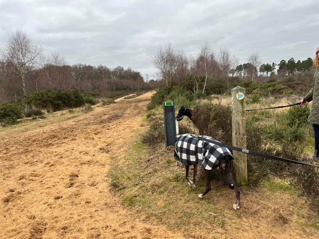
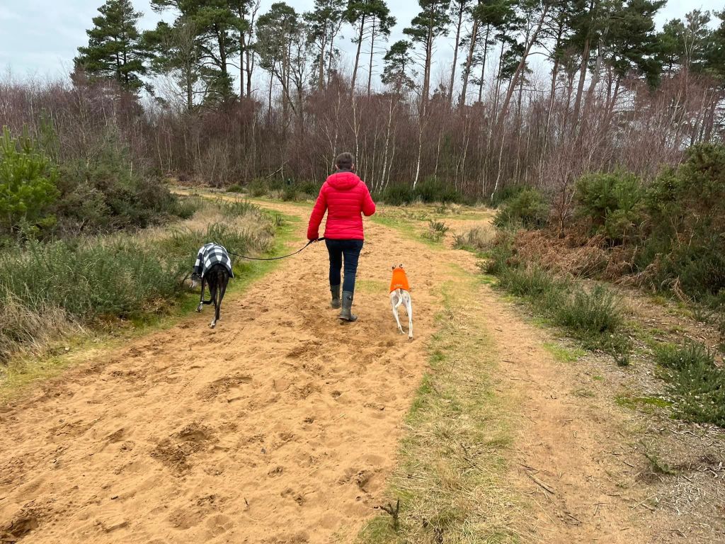
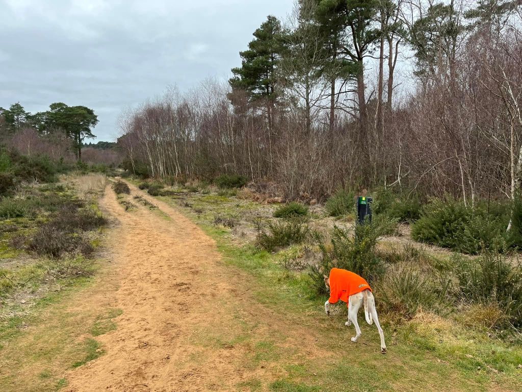
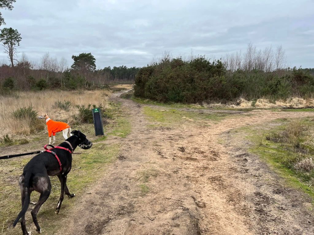
The Gallery: What’s it like here?
Instagram reel showing this place
Parking
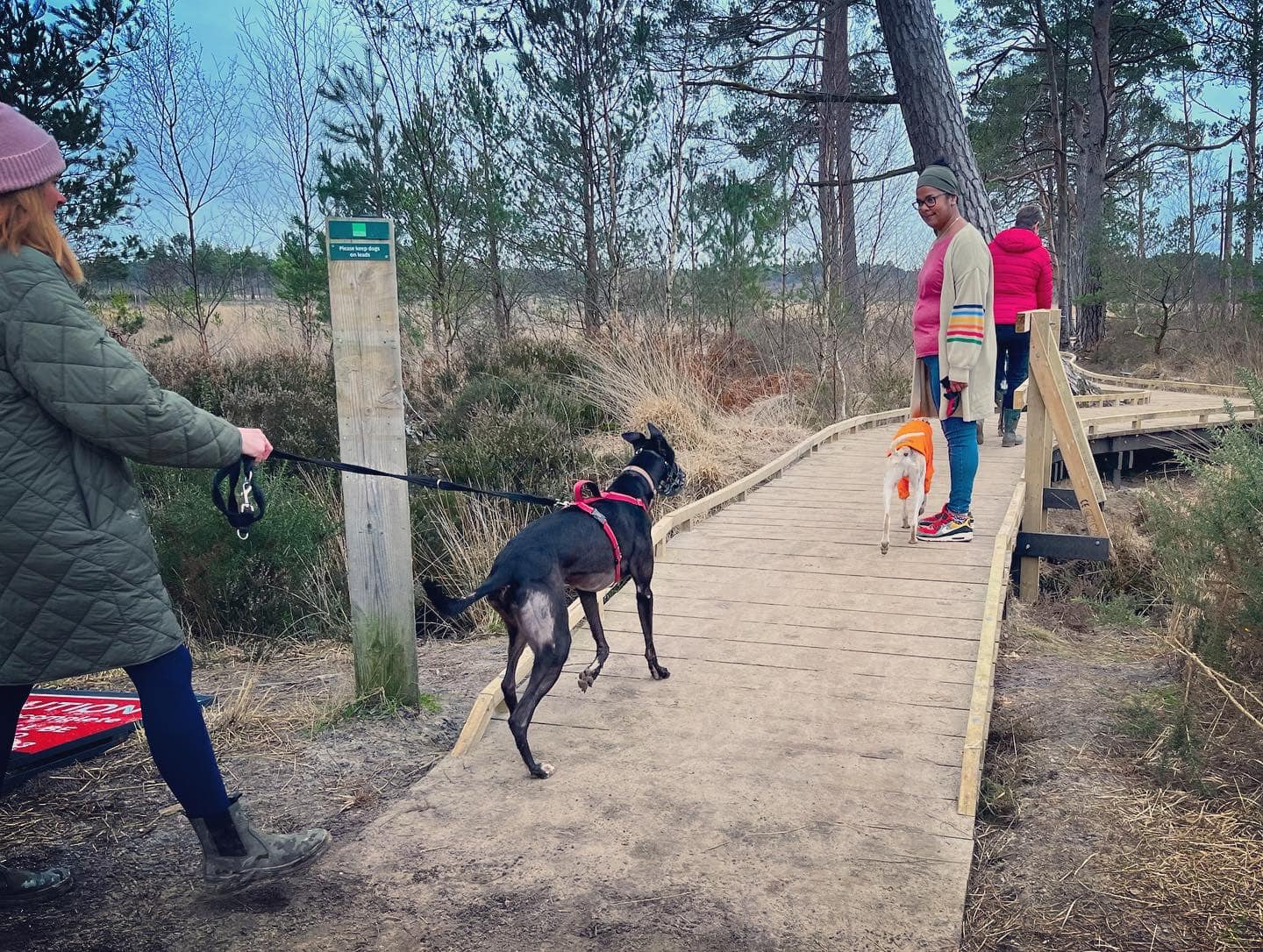
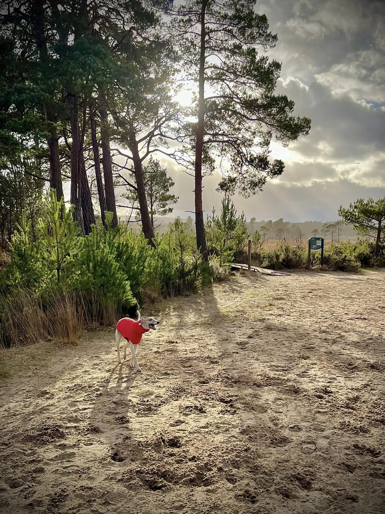
Park in the free Thursley Nature Reserve Moat Pond car park. There are signs about payment, but they are very misleading and just invite you to make a contribution to the upkeep of the area.
what3words: observers.open.brave
Poo bins?
There is a poo bin at the Moat Pond car park.
Self-guided walk
Here is a Footpath app route from the Moat Pond car park. Also on AllTrails. It skirts the bottom edge of Elstead Common then takes you on the new boardwalks through Pudmore Pond and then through Thursley Common’s heathland, taking in the little bit of woodland around Moat Pond at the end of the walk.
Length: approximately 2.4 miles/3.9km
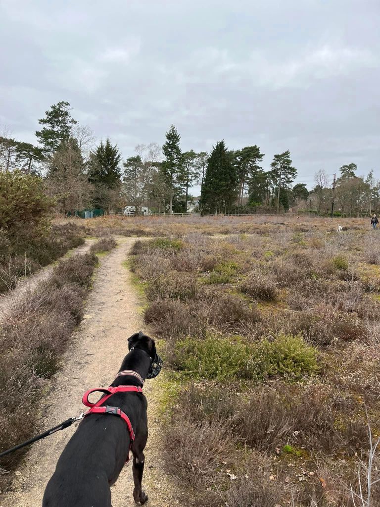
Terrain: Largely flat route on sandy paths and boardwalks. Some of the sandy areas through Thursley Common are very, very sandy, which can make them heavy going.
Stiles/kissing gates? No stiles, no kissing gates
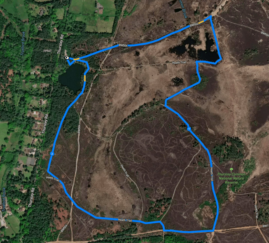
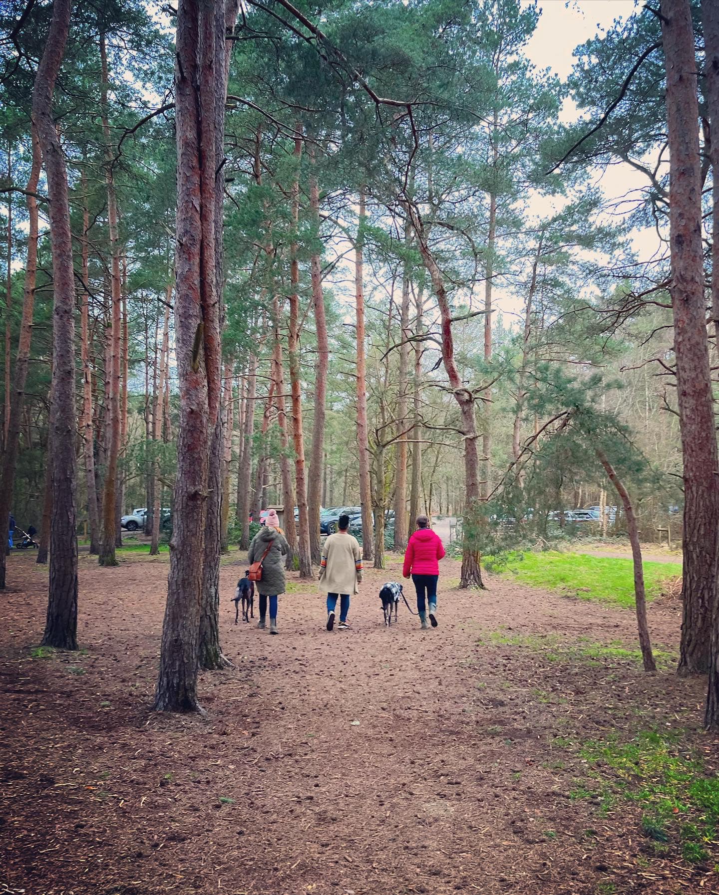
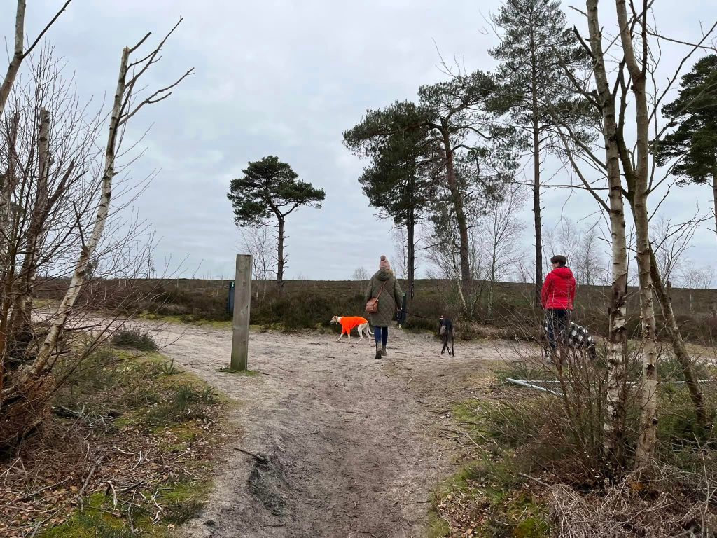
Park in the Moat Pond car park, and with your back to the road, you’ll see a vehicle gate at the back of the car park and some information boards over to the right-hand side. Take the path that heads away behind the vehicle gate. This comes down to a cross paths with a small marker post to the right-hand side – go straight across.
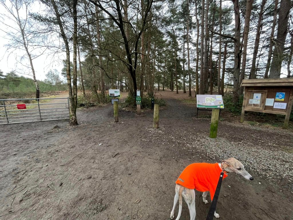
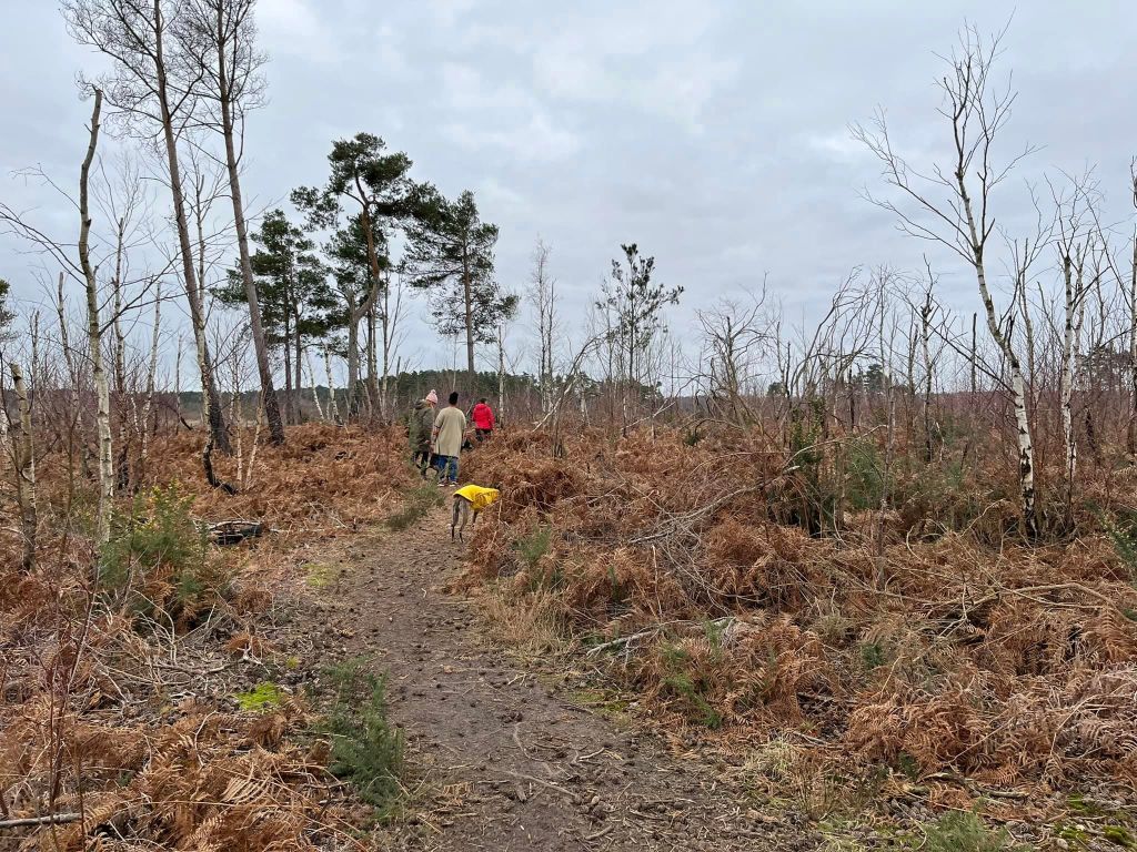
Walk down this path for a fair way. It is drier than the surrounding land, which you can see is sunken bog but can still be a bit muddy in winter. This path is the boundary between Thursley National Nature Reserve to the right and Elstead Common to the left. As you look to the right, you should be able to make out some boardwalks in the distance.
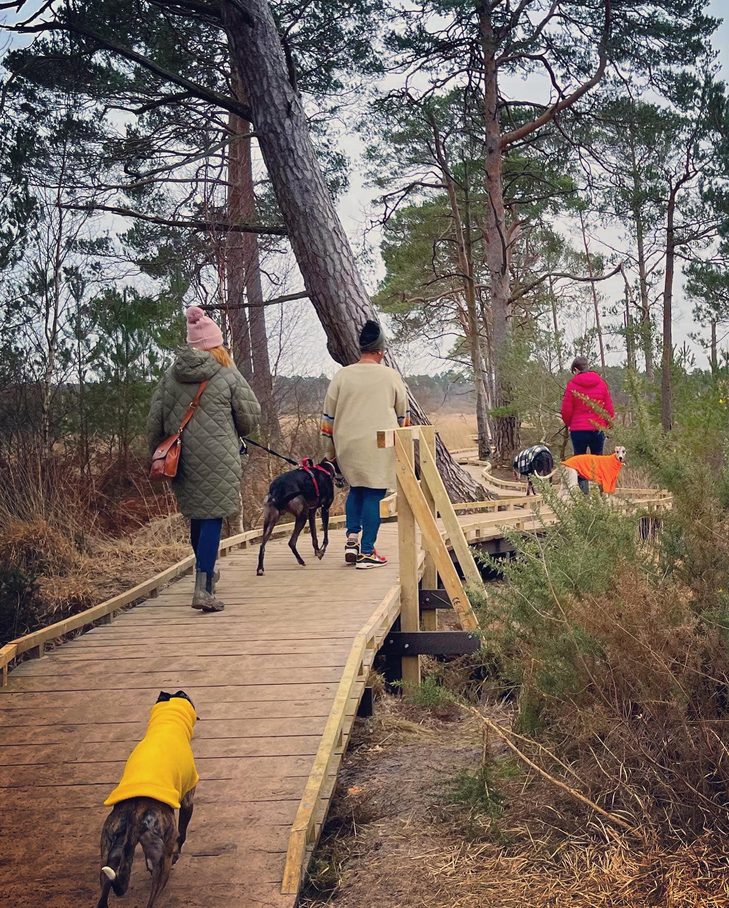
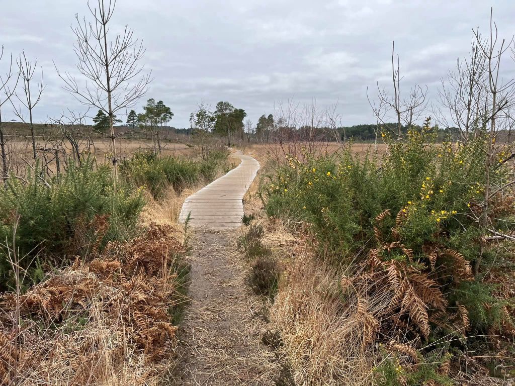
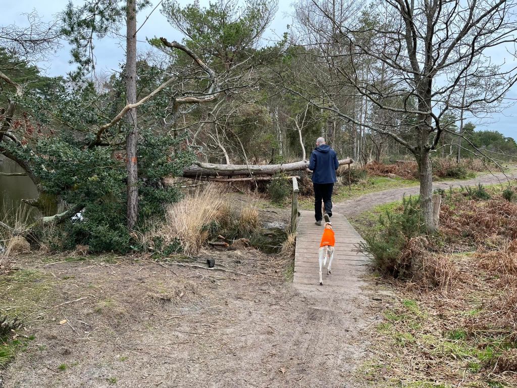
The path widens and becomes very sandy underfoot and you will reach a pond on the left, which is opposite a sign for Thursley Nature Reserve and boardwalk to the right. Turn right onto the boardwalk.
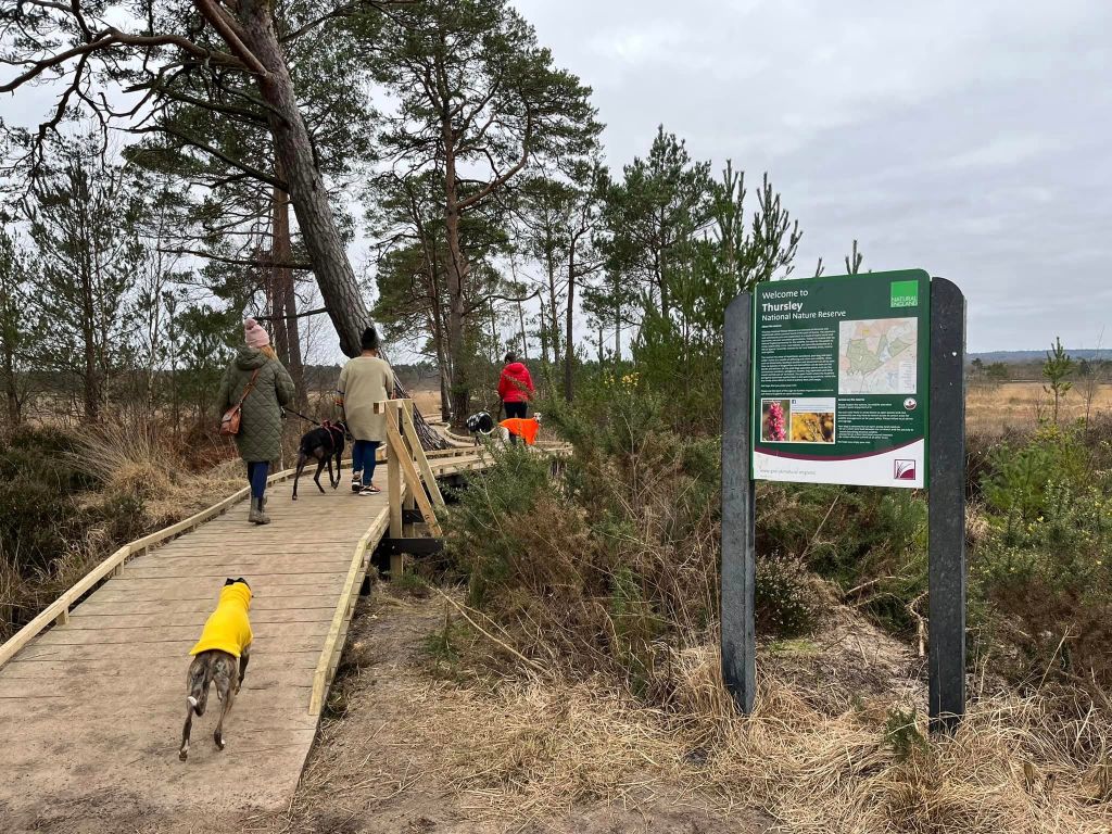
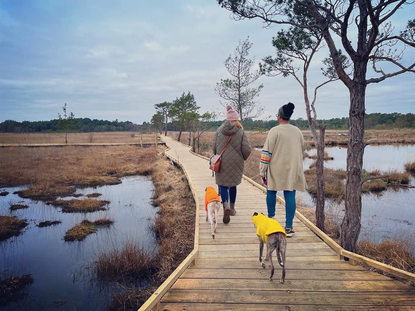
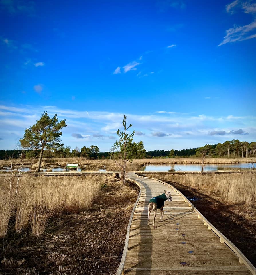
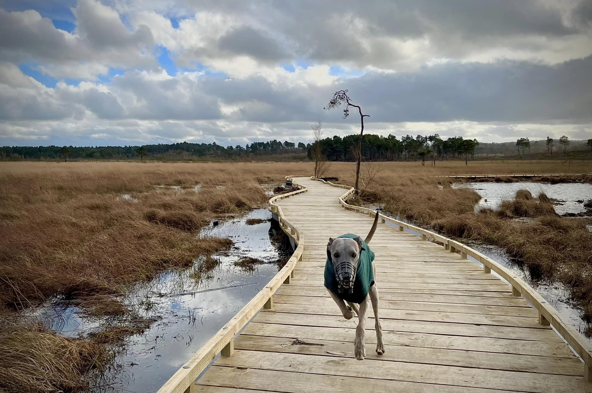
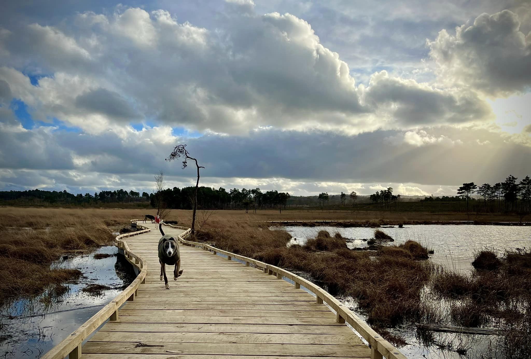
The boardwalks are brand new (time of writing is February 2023), having only been opened to the public in January 2023. They replace the original boards that were destroyed by fire in May 2020.
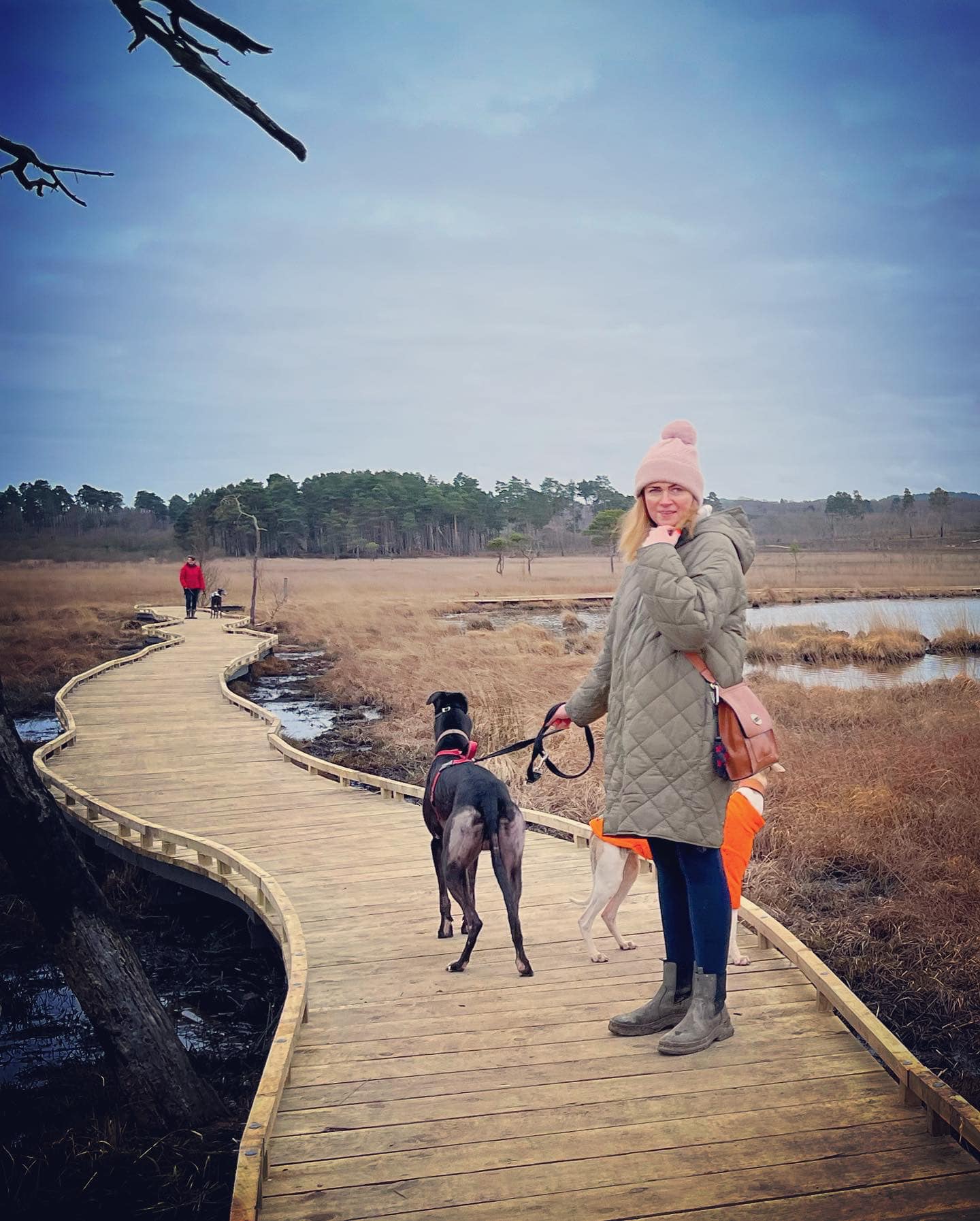
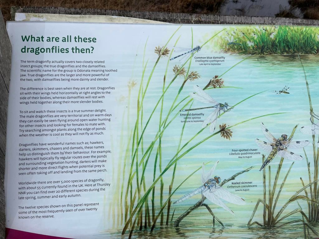
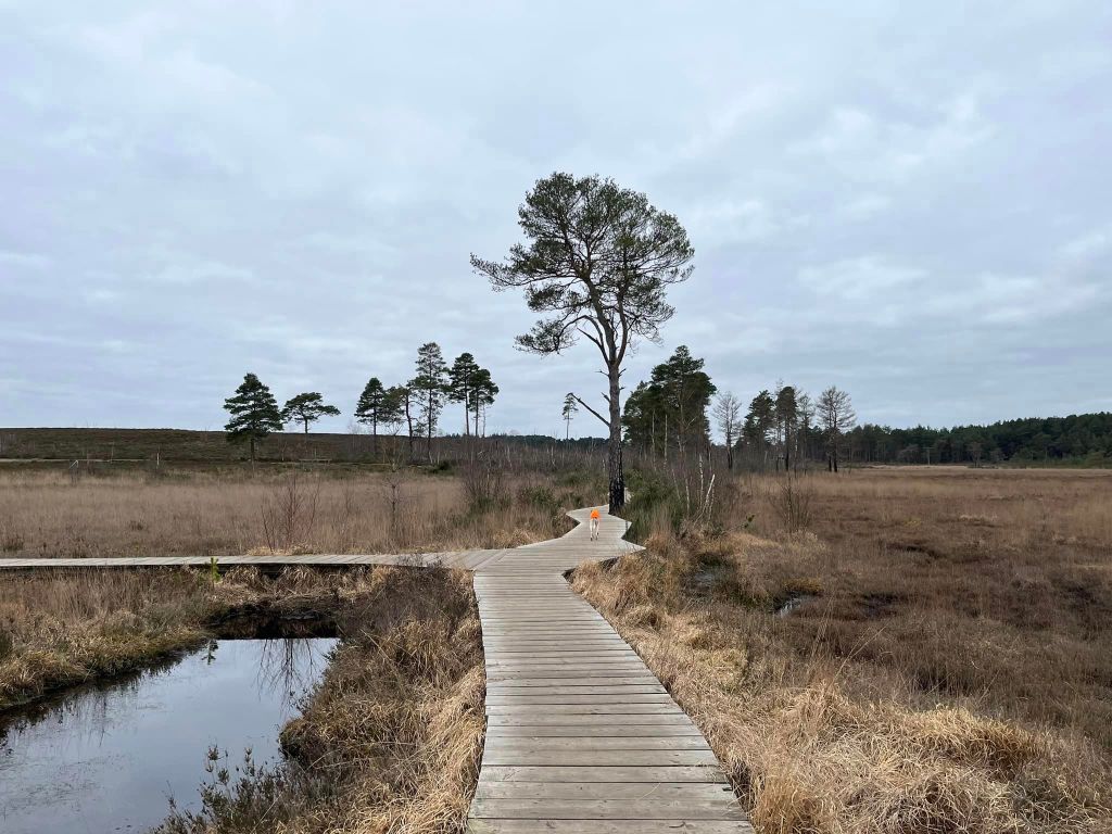
Follow the boardwalk ahead and then round a sharp (practically 90 degree) bend to the right. Continue ahead (well, there is no way off a boardwalk unless you fancy going into the bog!) until you get to a junction with another boardwalk coming off to the left. There is also an information board on the right about the types of dragonfly (and damselfly!) you may see here. More than 20 varieties are commonly recorded on the reserve and tend to be around between late spring and early autumn.
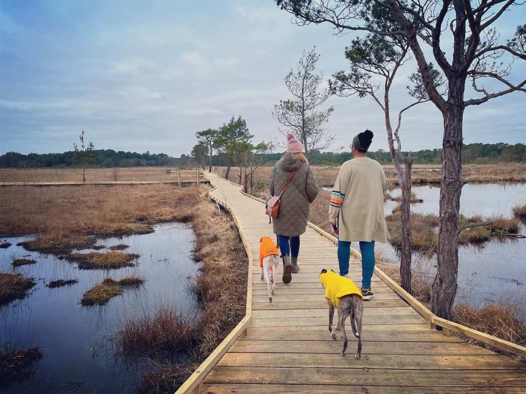
Turn left onto the adjoining boardwalk and walk away from the dragonfly info board.
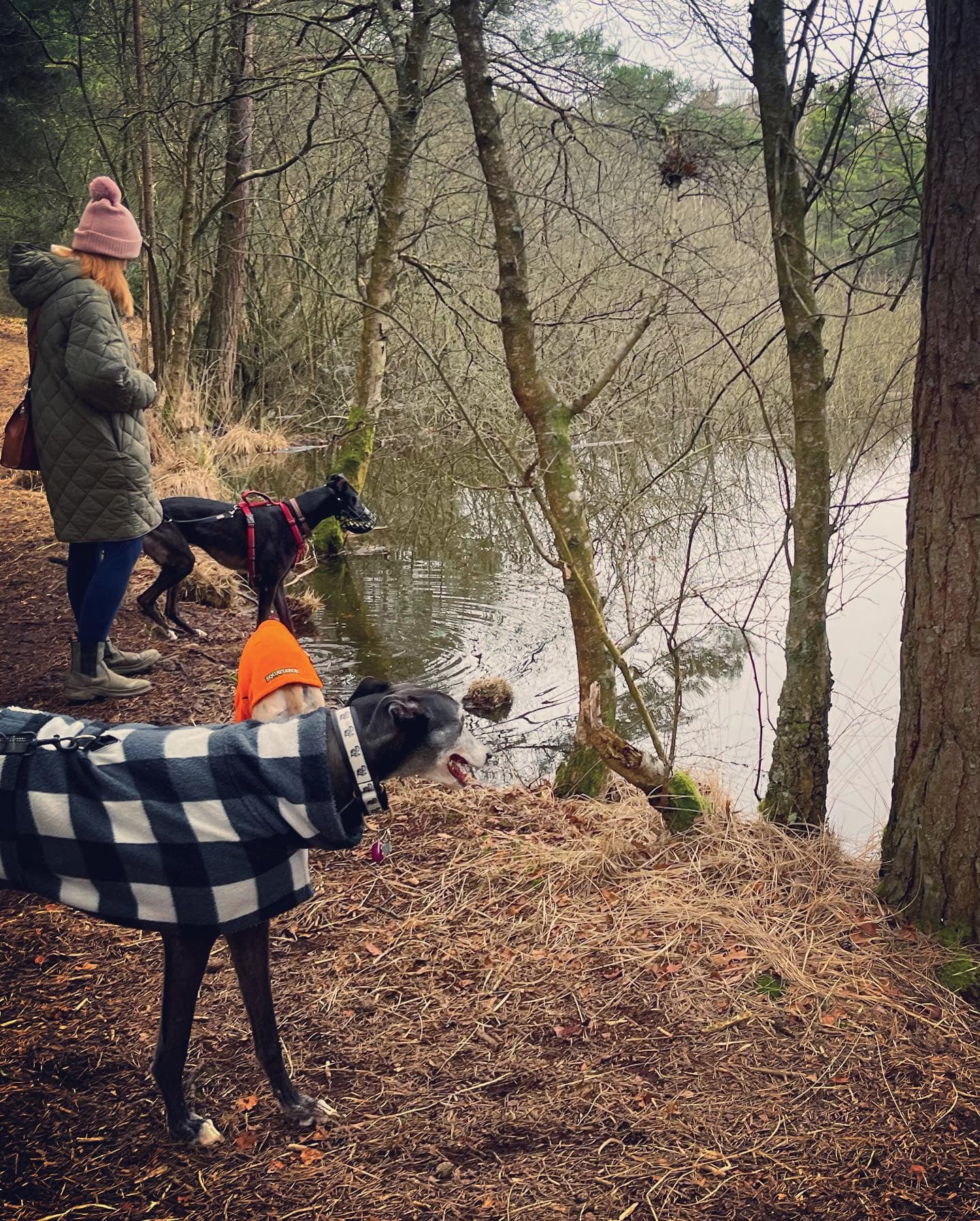
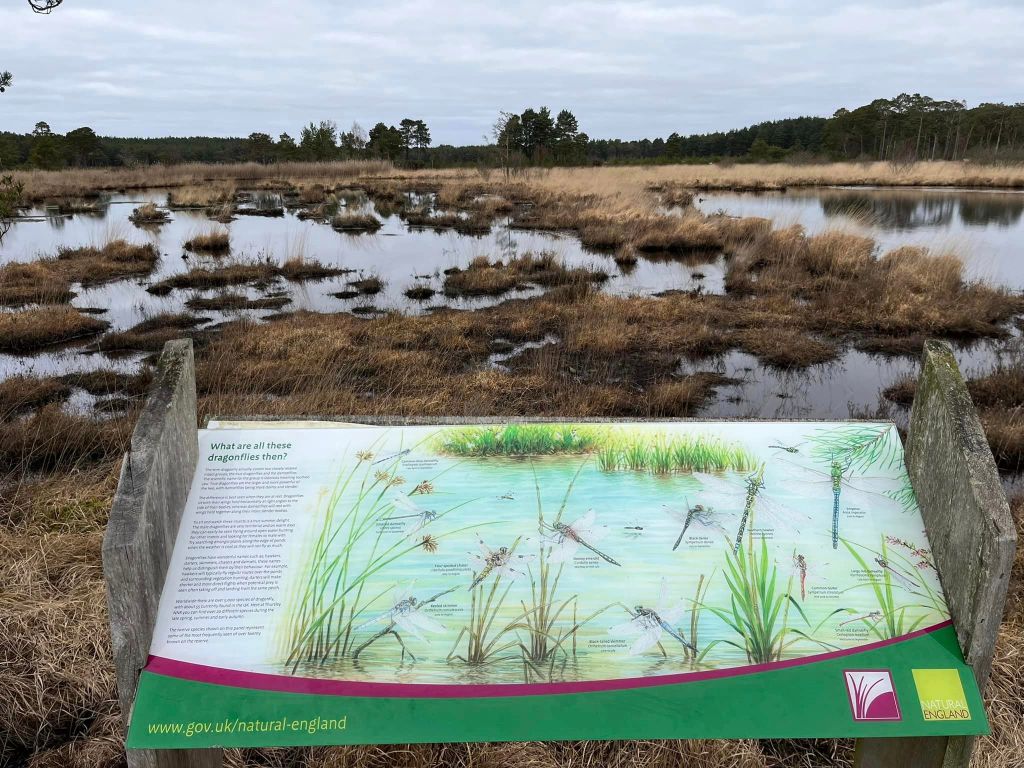
This boardwalk comes to an end and you’ll be on a small scrubby path through bracken. To the left, there is another information board about dragonflies, explaining that Thursley National Nature Reserve has been designated a ‘Dragonfly Hotspot’ by the British Dragonfly Society. It is one of the most important sites for dragonflies in the south of England as the expanse of interconnected bog pools are a valuable breeding habitat and the surrounding heathland is perfect for hunting and roosting.
Follow the scrubby path and it’ll very shortly bring you to another stretch of boardwalk – continue ahead on this, and stay on it to its end, ignoring a bit that goes off to the left part-way along (this just takes you to another viewing area).
At the end of the boardwalk, you’ll be on a sandy path which comes down to a T-junction, where there is a large wooden post on the left. Turn left here.
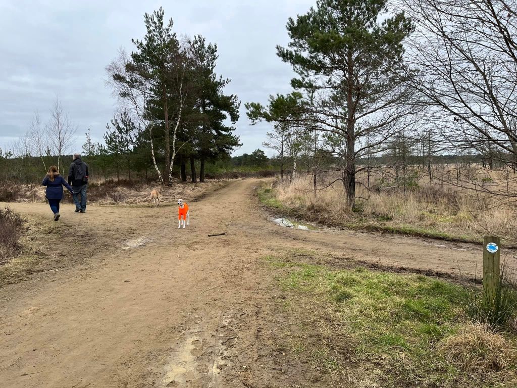
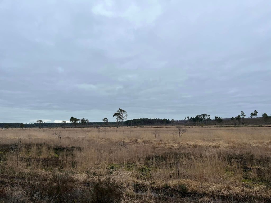
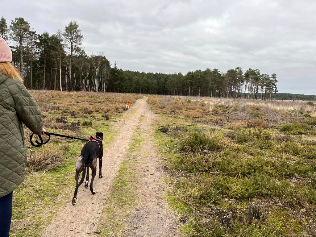
You’ll be on this path for a fair old way now. It is quite a barren bit of land, with a low hill covered in heather and scrub rising to your right and you can see some tall trees in the distance ahead. When you get to a small path coming off on the right and heading up over the hill, ignore it and continue on the main path.
A bit further on, there is a path off to the left next to a black post with a green topper. Ignore this too and continue ahead on the main path.
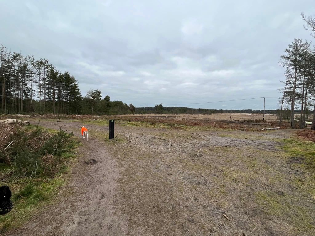
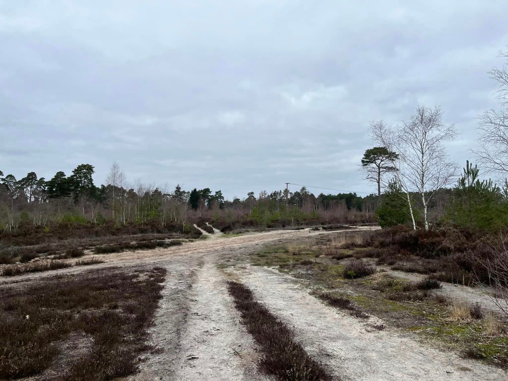
Eventually, you will come to a large cross paths where the ground is extremely sandy and there are two posts on the right-hand side – one is a hefty wooden post with a green arrow, the other is a black post with a green topper. Turn right here onto this main bridlepath.
The path now is very sandy and quite heavy going, despite being largely flat. Keep an eye out for a path off to the right, next to two marker posts – again, one wooden and one black/green. Turn right off the main path onto this smaller one.
This path goes downslope slightly and curves to the left, with another path coming off to the right on that curve. Follow the way around the curve to the left, passing another black/green marker post (on the right of the path).
This path comes to a junction of paths. There is a small black/green post on the left and the path off to the right becomes boardwalk almost immediately. Go straight ahead at this junction.
After some way, the path you’re now on reaches a major junction with a wide sandy bridleway. Go straight across this.
Follow the path as it winds through heather and small scrubby trees. Ahead you’ll see a building and a stretch of wooden fence and some green fence. Before this, the path bends sharply to the right – go with it and head to the tall trees in the distance.
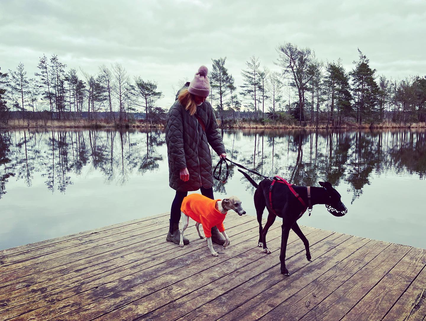
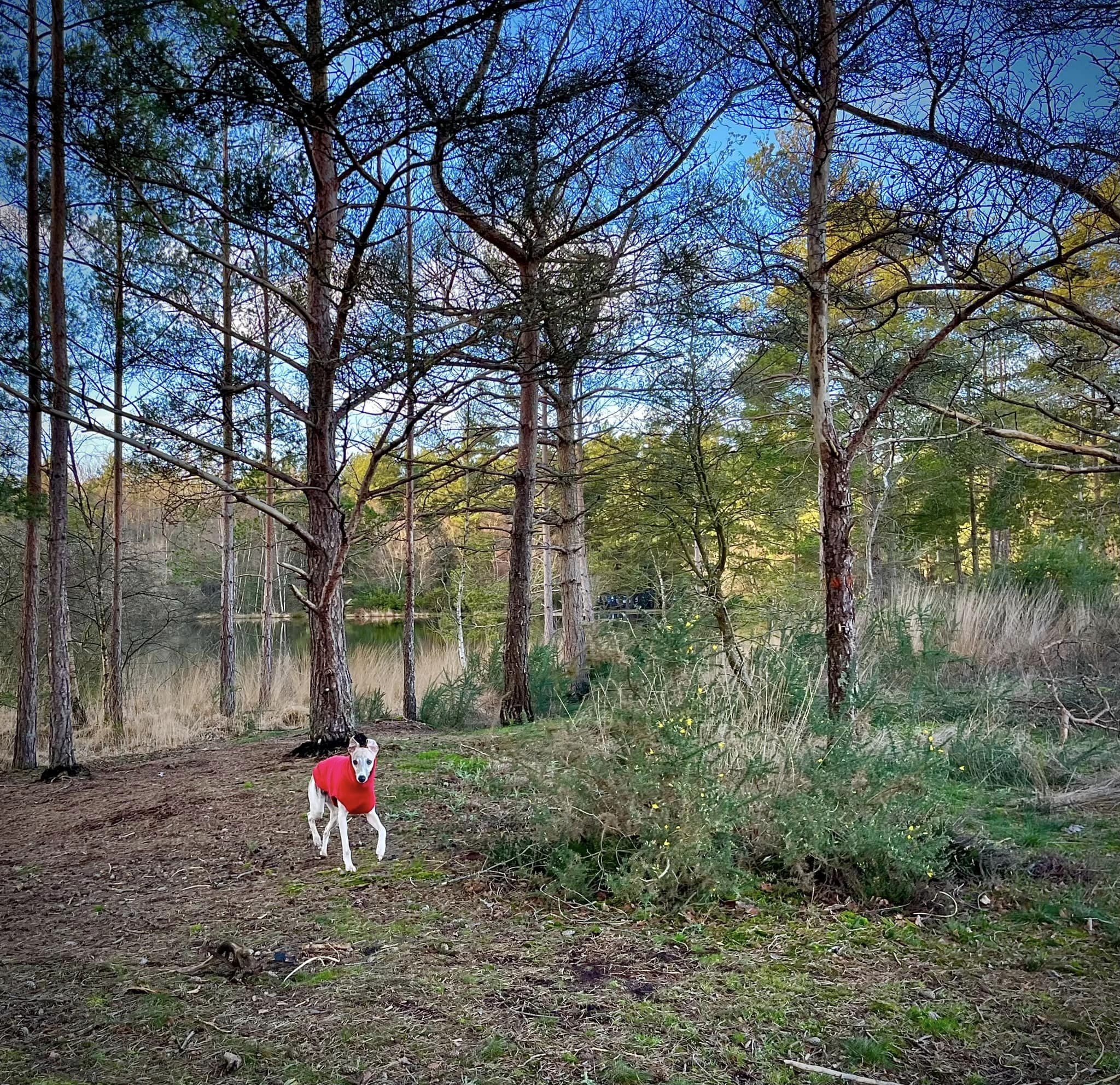
Follow the path into the trees and after a little way, you will see Moat Pond over to the left. You have a choice of two small paths at this point – either stay on the one you’re on, or take one slightly to the right which goes along the water’s edge. It doesn’t matter which you opt for, they come together at a boardwalk bridge – cross this. and continue on the path as it goes around to the right.
At the fork where there is another small black/grey post, keep to the left (the path off to the right goes to the boardwalk through Pudmore Pond.) Stay on this path as it curves around the edge of Moat Pond. You will see the car park ahead through the trees.