
Page contents
About
Gallery
Parking
Poo bins?
Self-guided walk
About
Farley Heath is part of the Hurtwood, a privately owned woodland to which the public has had access since 1926, as granted by Reginald Bray, the Lord of the Manor of Shere. The Hurtwood got its name from its carpet of Hurts, the local name for billberries (blackberries.) The area is managed by the Friends of the Hurtwood, a registered charity.
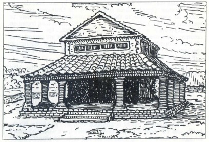
Located on the outskirts of Farley Green, Farley Heath is home to one of Surrey’s few Roman remains, a temple dating back to 1 AD. It’s believed that this open heathland was the site of the largest Romano-British settlement in the county. Historians think the temple marked the border between two British Iron Age tribes – the Regnenses of Sussex and East Surrey, and the Atrebates of Berkshire and Hampshire. It was excavated in 1848 by a local antiquarian and poet, Martin Tupper, who lived in nearby Albury. Some of his finds are now housed in the British Museum. He suggested that the temple was destroyed by fire around 450 AD. Further excavations took place in 1926 and in 1995.
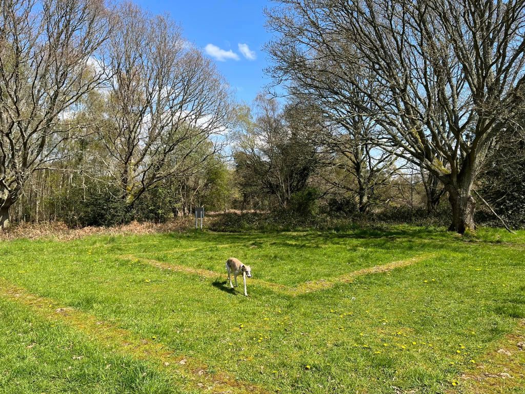
The outline of the temple can still be seen and is marked out by stones excavated from the original structure, now set in concrete. The pond located on the green was used as a latrine pit by those living there, which is…nice. Read more about the temple here and in great depth here.
There is another post on this website describing a route on the other side of Farley Heath Road.
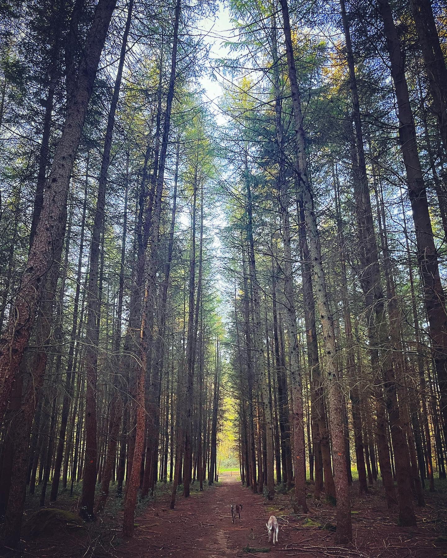
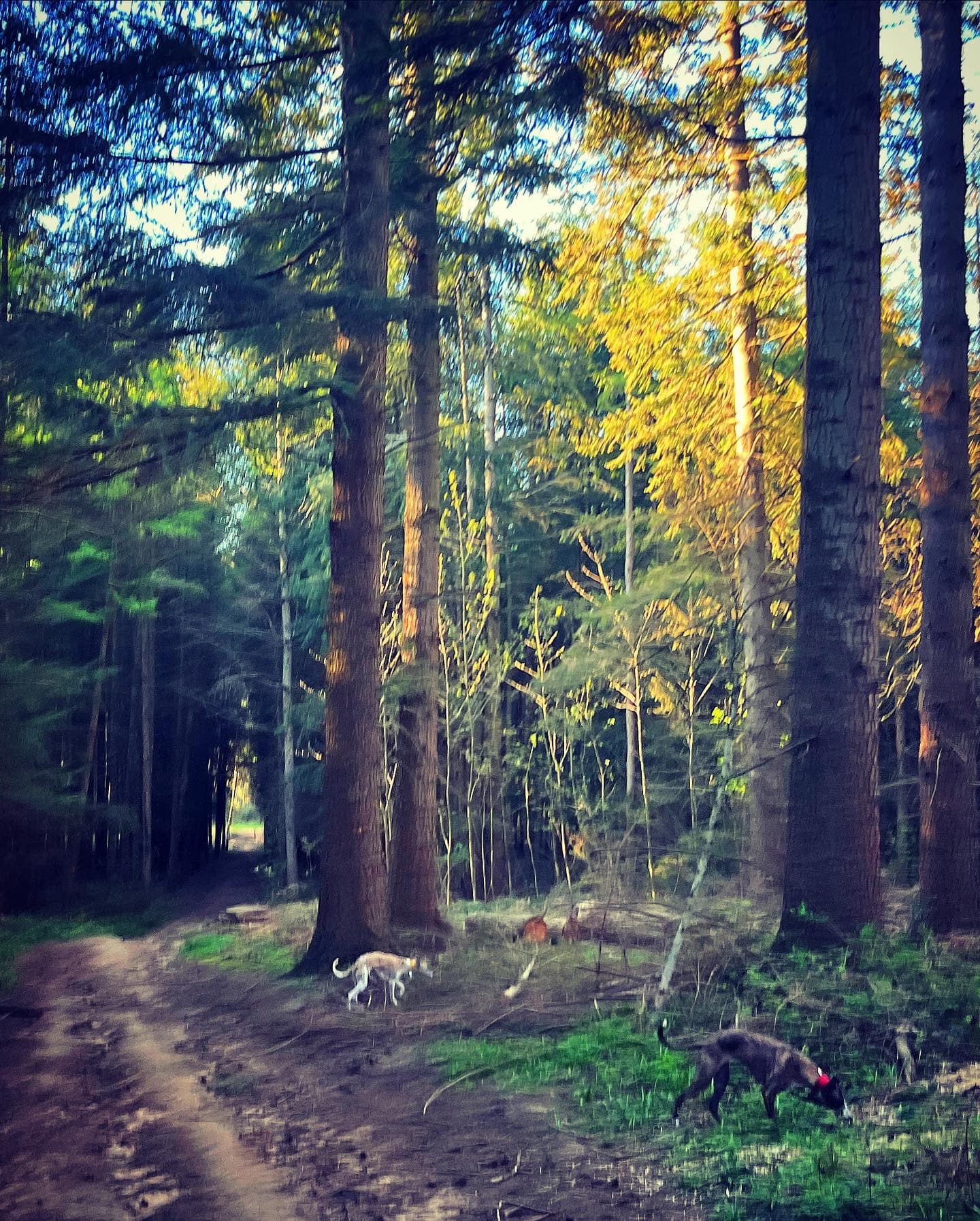
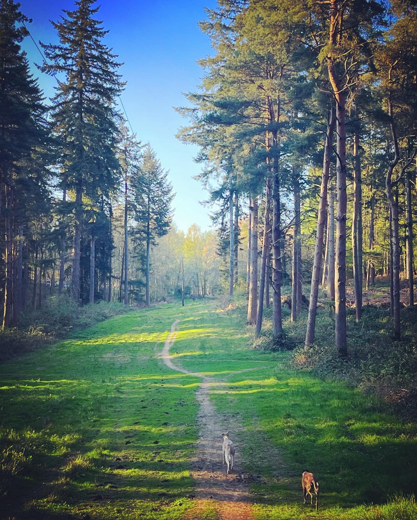
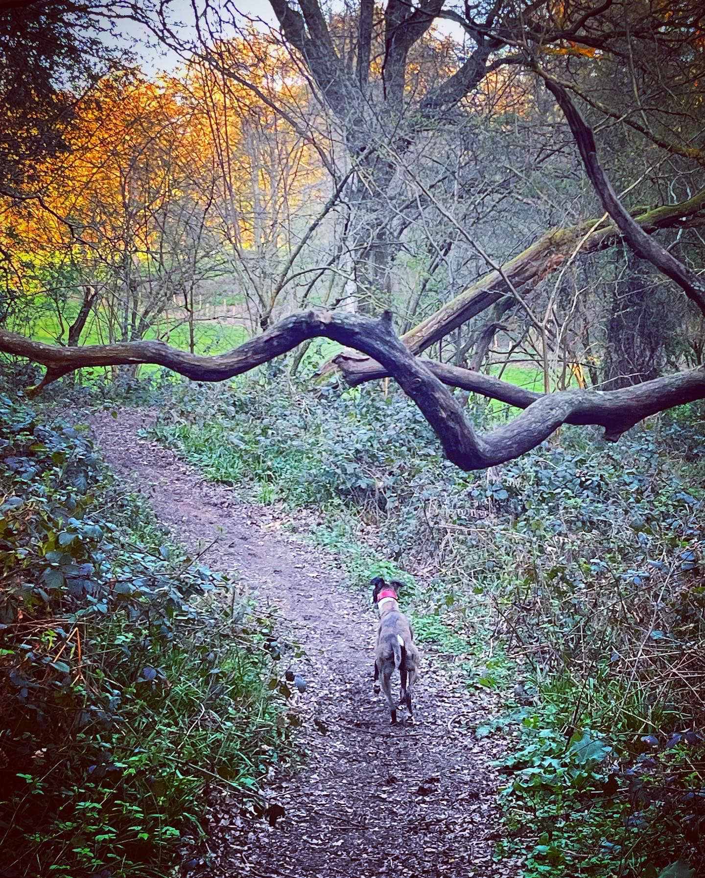
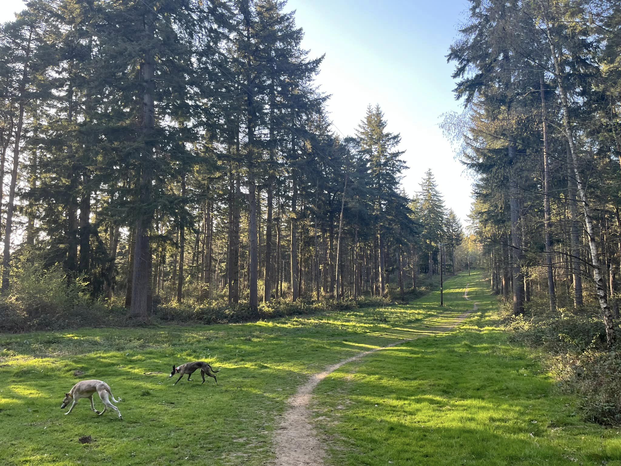
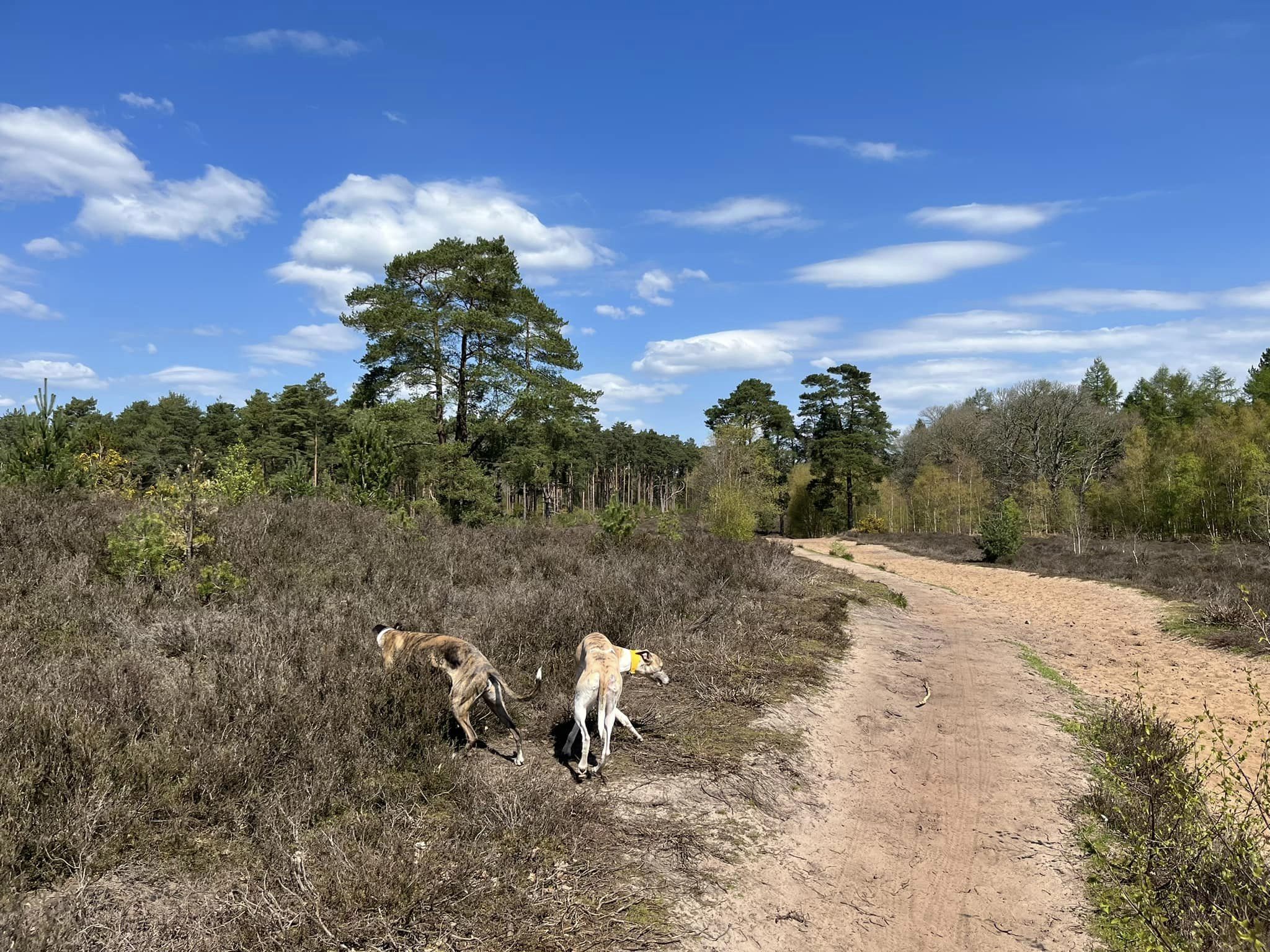
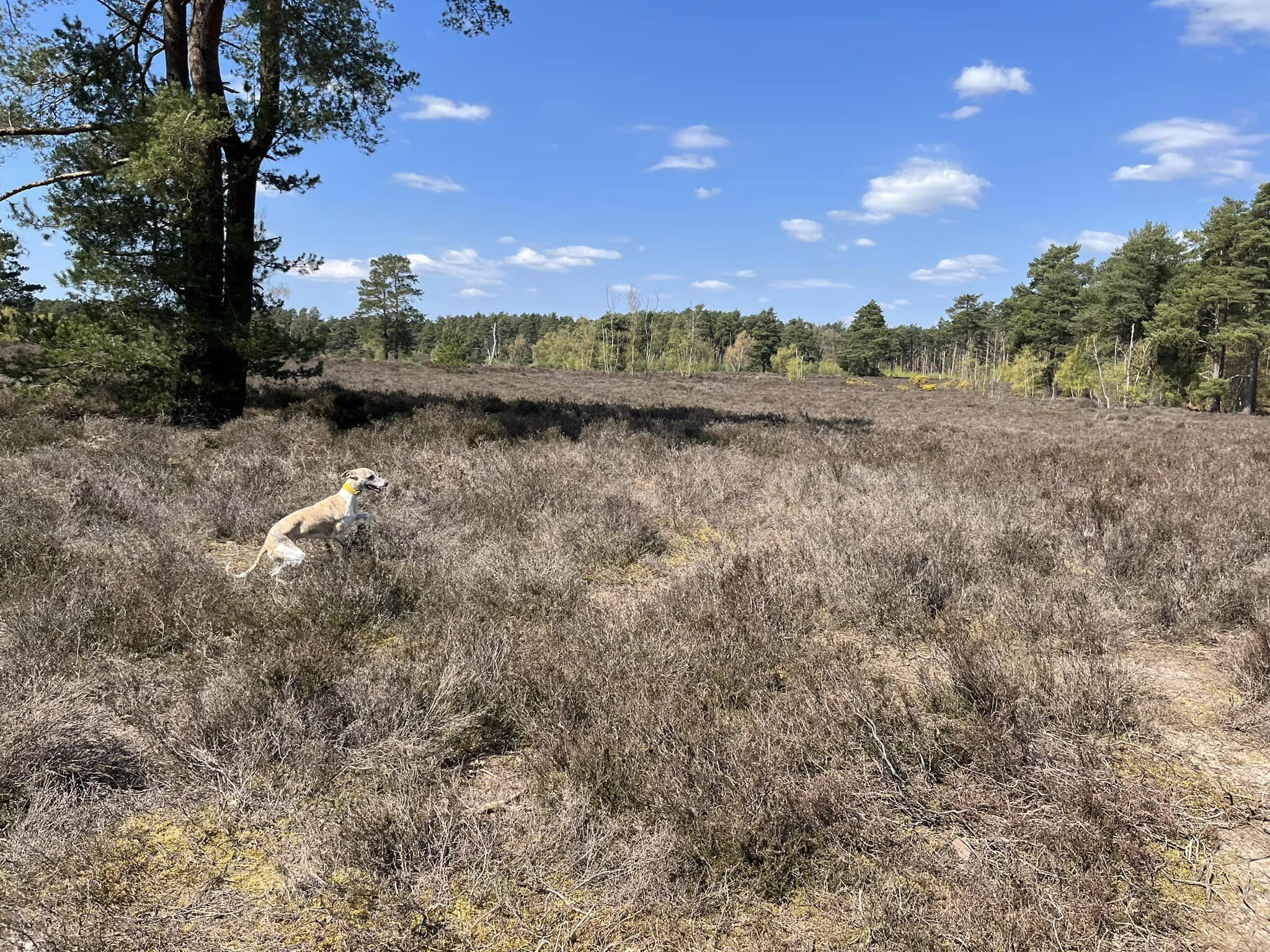
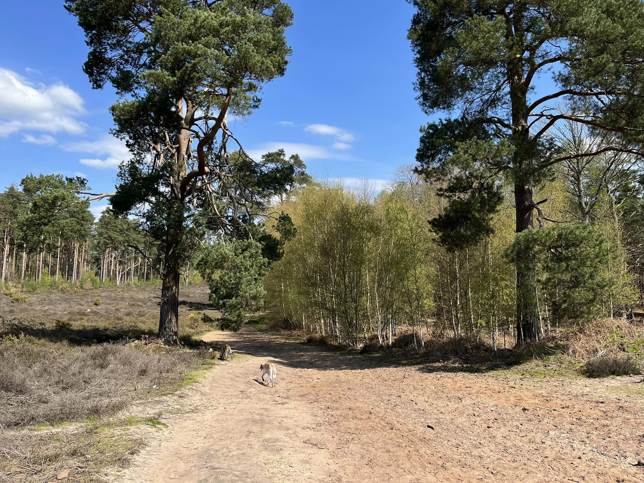
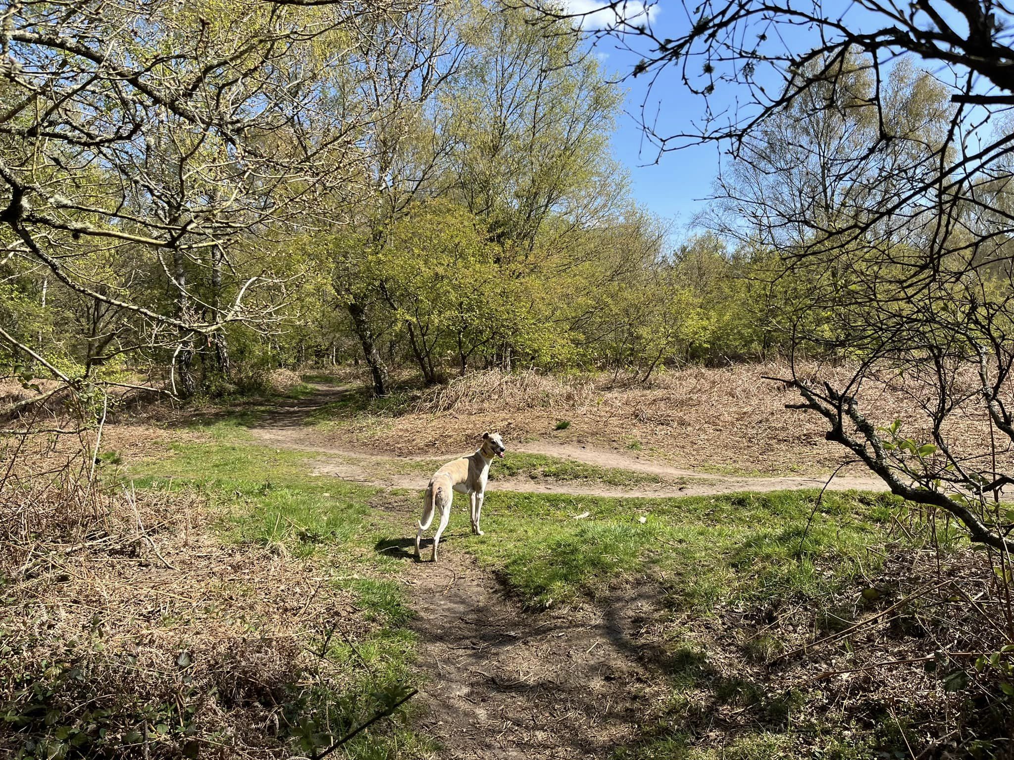
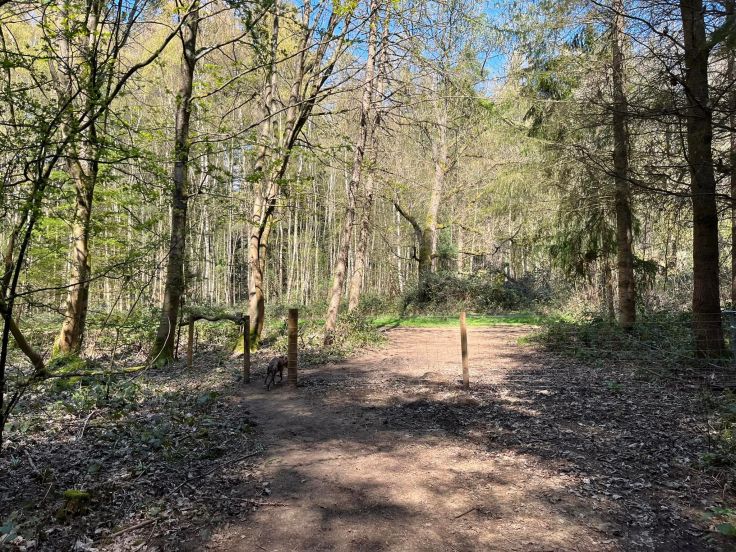
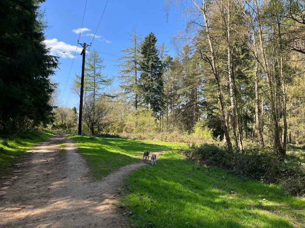
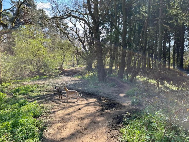
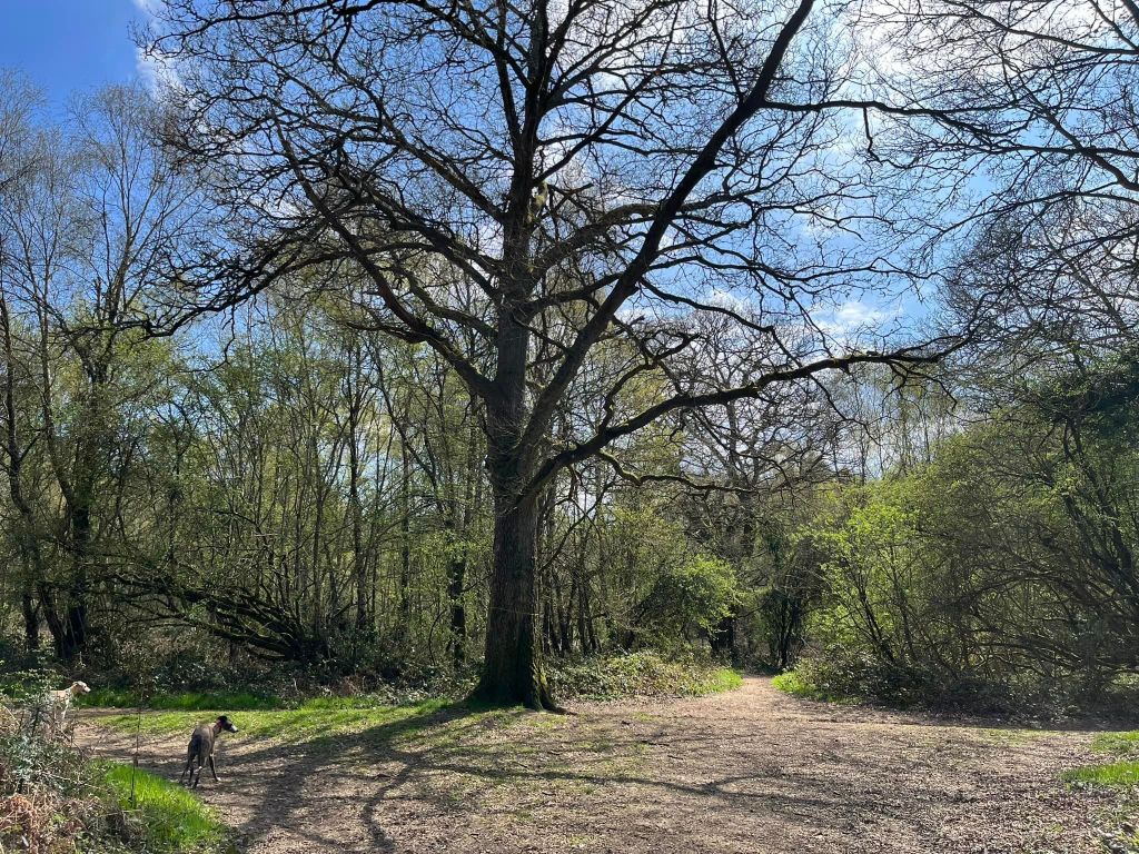
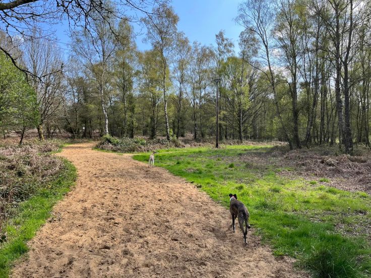
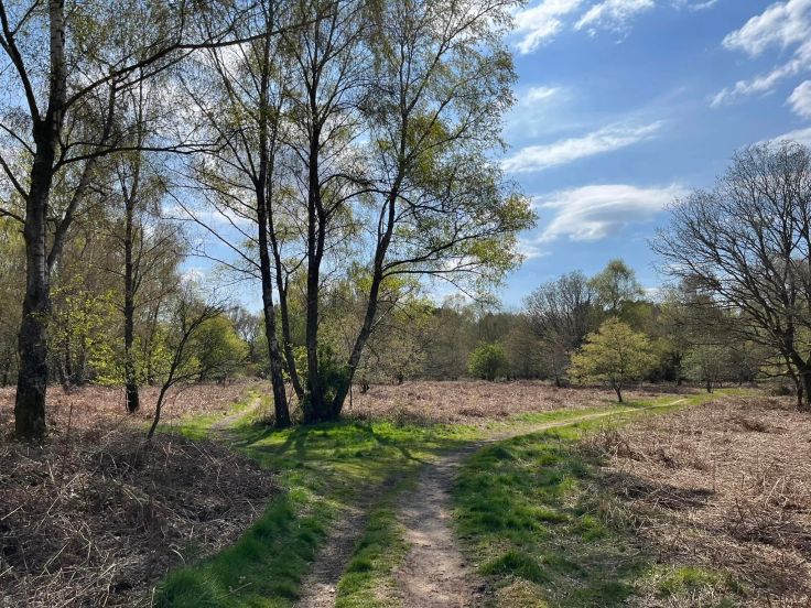
The Gallery: What’s it like here?


None, please take waste with you
Self-guided walk
Here is a Footpath app route from Hurtwood car park 8. Also on AllTrails. The walk goes downhill through the private Albury Estate, then loops along the bottom of Blackheath, before returning through Farley Heath to the car park and passing the site of a Roman temple on the way.
Length: approximately 2.3 miles/3.7 km
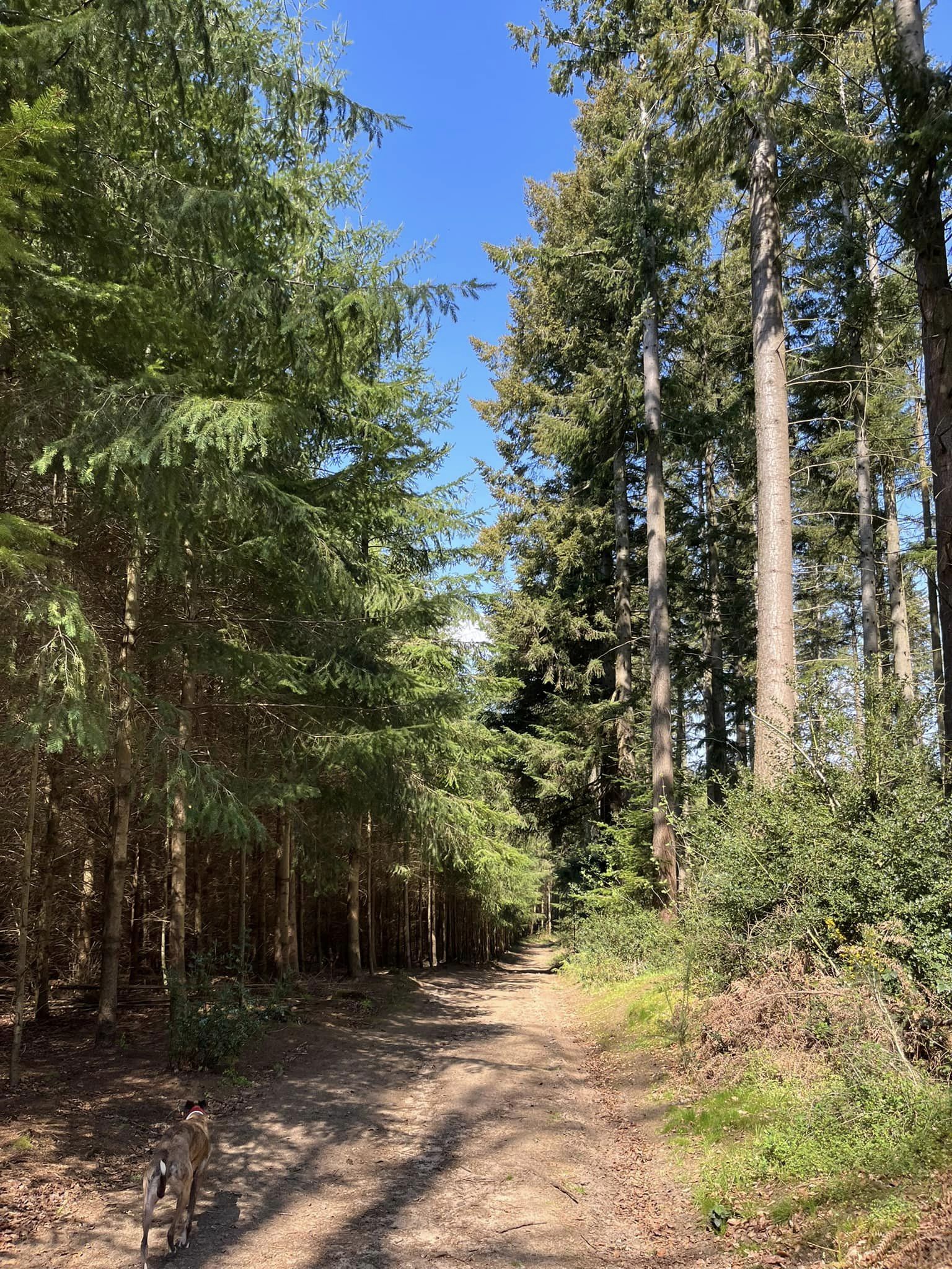
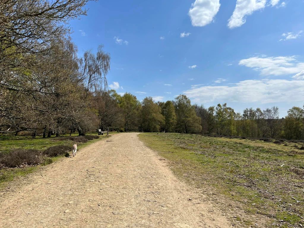
Terrain: This walk takes in woodland and heathland. There are slopes, both up and down but nothing too bad. Some of the mud footpaths can be muddy between autumn and spring. Some of the paths through Blackheath can be very sandy so quite hard going. There is a short section along a track/lane, where you’ll probably want to have your dog on lead.
Stiles/kissing gates? No stiles, no kissing gates

Take the path immediately to the right of the Farley Heath information board and map at the back of the car park, which has a marker post with a white arrow to its right.
This brings you down to a barrier with a green sign declaring a permissive footpath through the private Albury Estate for walkers only, no cyclists or horses allowed. Pass through the gap to the right and continue ahead.

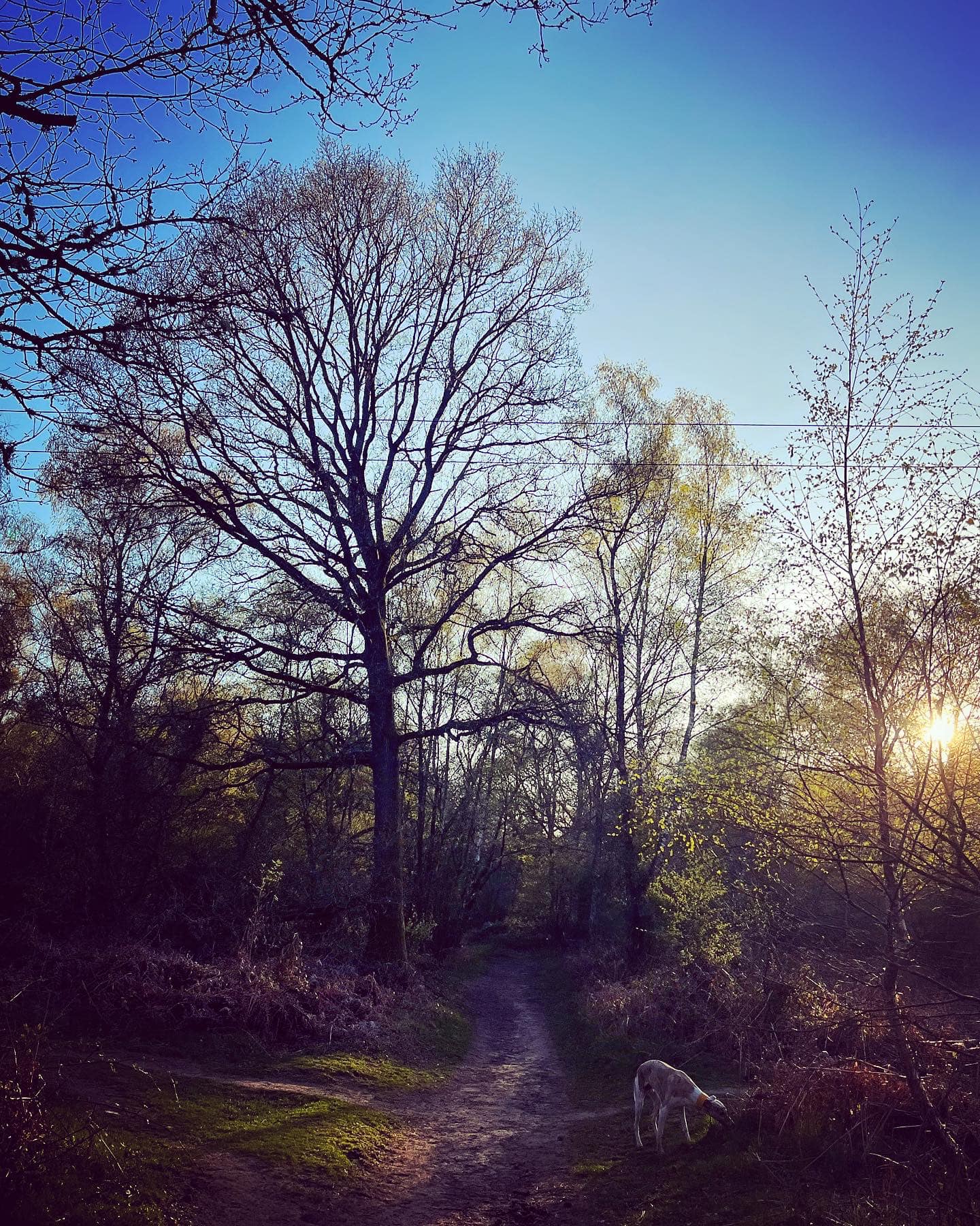
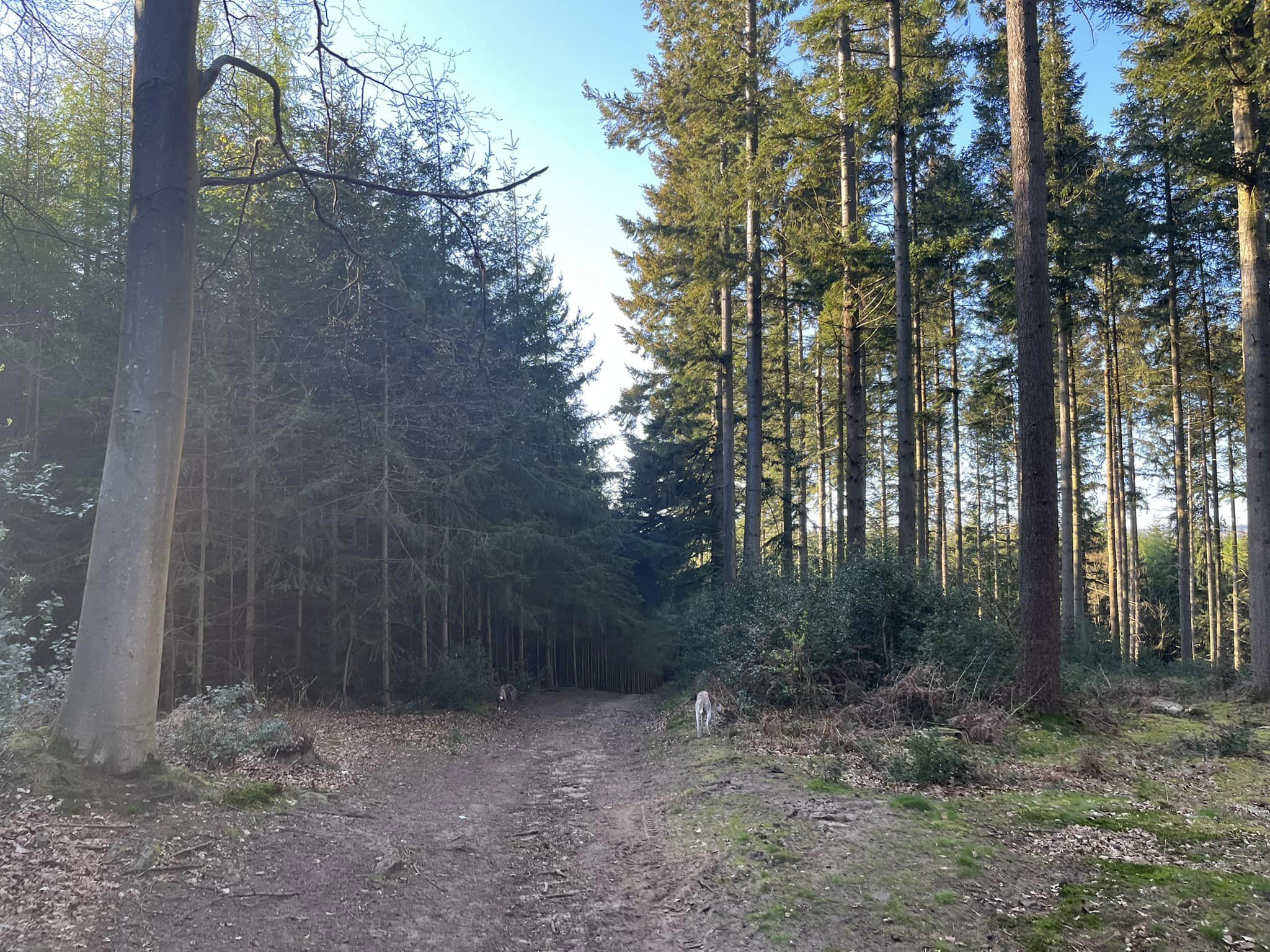
Stay on the main path. After a bit, it’ll ‘s’-bend and go down slope, with very densely packed evergreens on the left and larger, less dense tall trees on the right, then into a sort of “tunnel” of tall firs.
At the end of the path, pass through the gap and turn left at the T-junction.
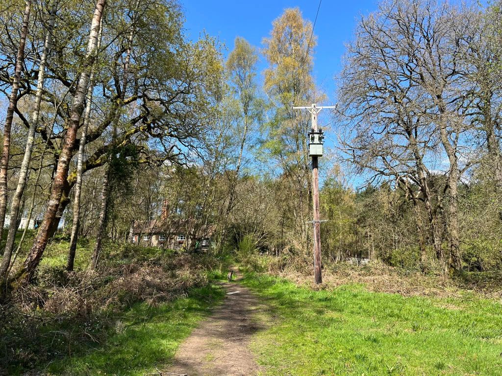
Take the first path off on the right, just before a telegraph pole and follow this wide grassy path beneath the overhead lines, continuing straight ahead at the cross paths halfway down it.
At nearly the end of the path, where the final telegraph pole is, there’s a small path off to the left – take this as it cuts out a stile. It comes out by the aforementioned stile (which will be on the right) – turn left here.
This path very soon becomes a wider track (by a marker post with a yellow arrow). Continue ahead until you reach three wooden stumps on the right, where you turn right off the track.
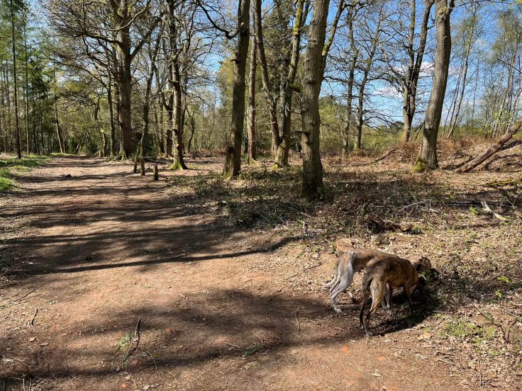
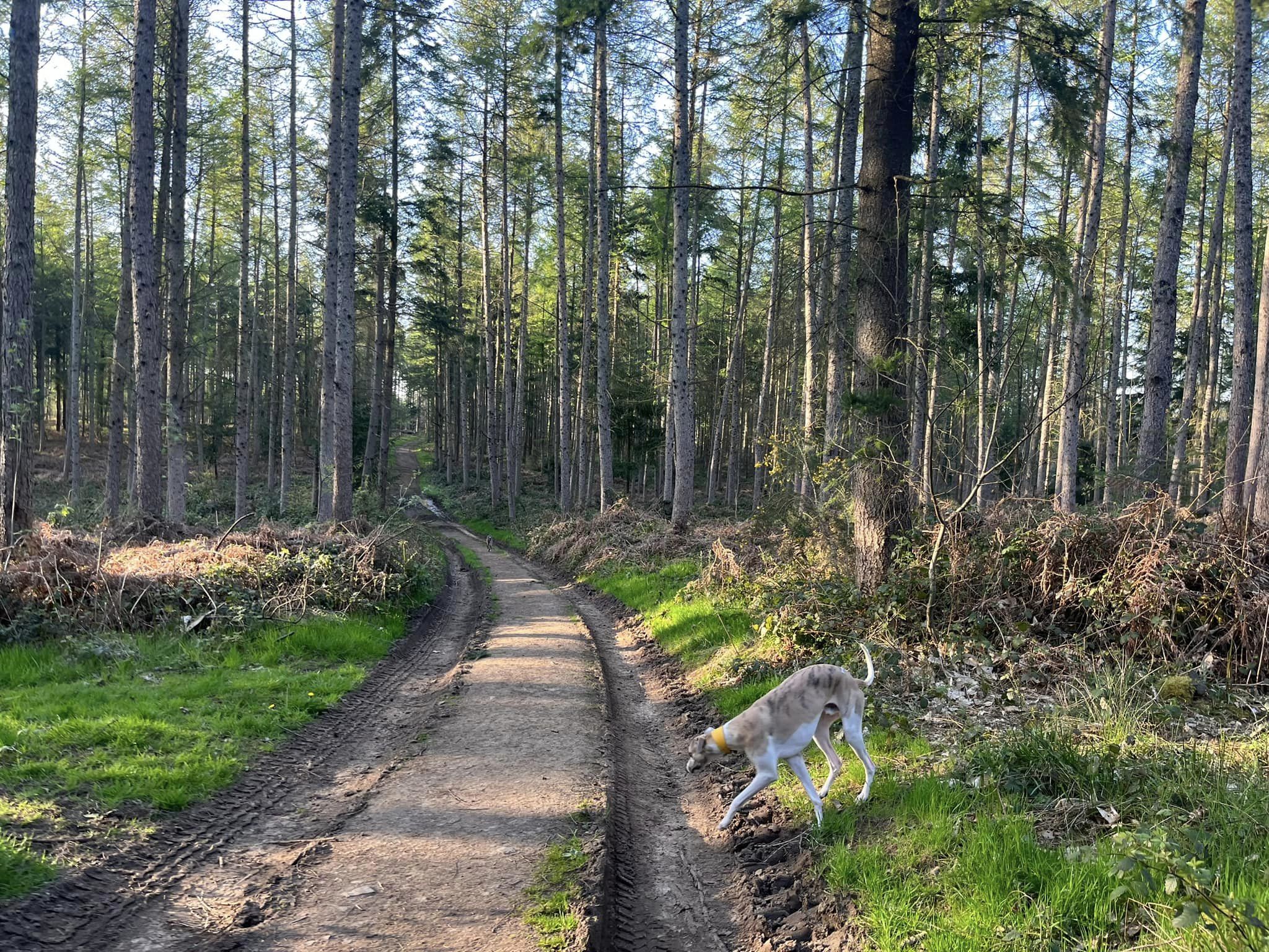
After a few more paces, you’ll come to a wide sandy path, where you turn right again. This main sandy path actually skirts the very bottom of Blackheath.
You’re on this path for quite some way – and when you get to the junction with the marker post in the middle of it, continue straight ahead.

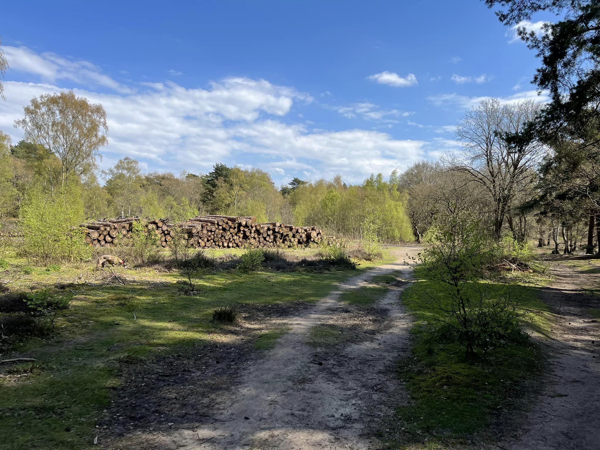
The path forks into two smaller paths (often there are logs piled here on the left) and I take the fork on the right, passing a post with an orange topper on the way.
At the next large junction, take the main path to the right. You’ll pass a bench on the left and then go down to a vehicle barrier. If your dog is off lead, put them on now.
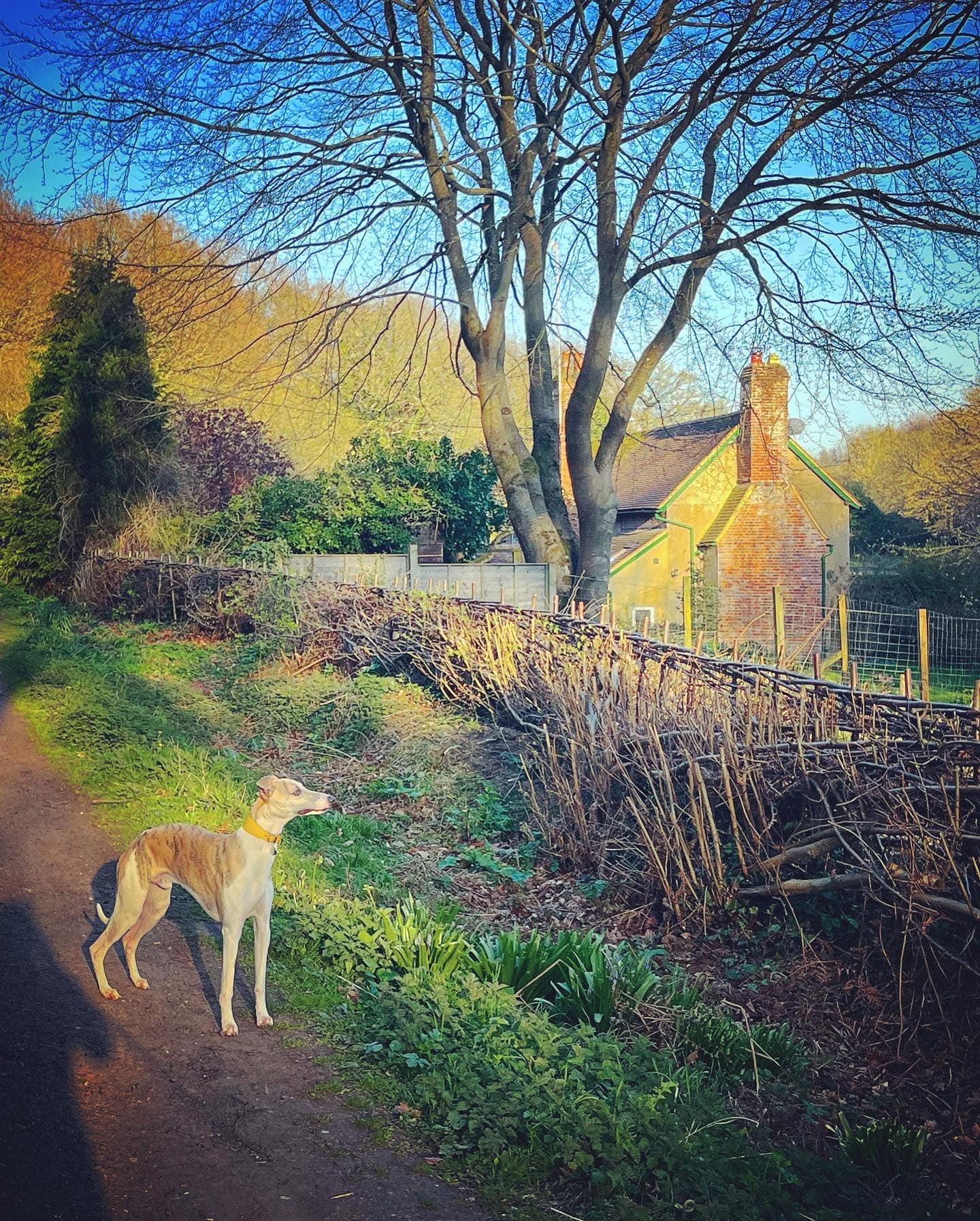
After the barrier, you’ll come to a lane/track by Liscombe cottage. Turn right and walk along this until you get to a property called Remnants, where the track finishes and you continue straight onto the mud path ahead.
The path narrows and through the trees to your left, there is a fenced off field. Just after that field ends, you come to a cross paths and turn left.
Continue as the path rises ahead. The mud here can be very churned up at wet times of year.
At the next large cross paths, turn left and you’ll be immediately facing a fork of two paths. Take the one on the right.

Follow this to the line of telegraph poles, and turn right.
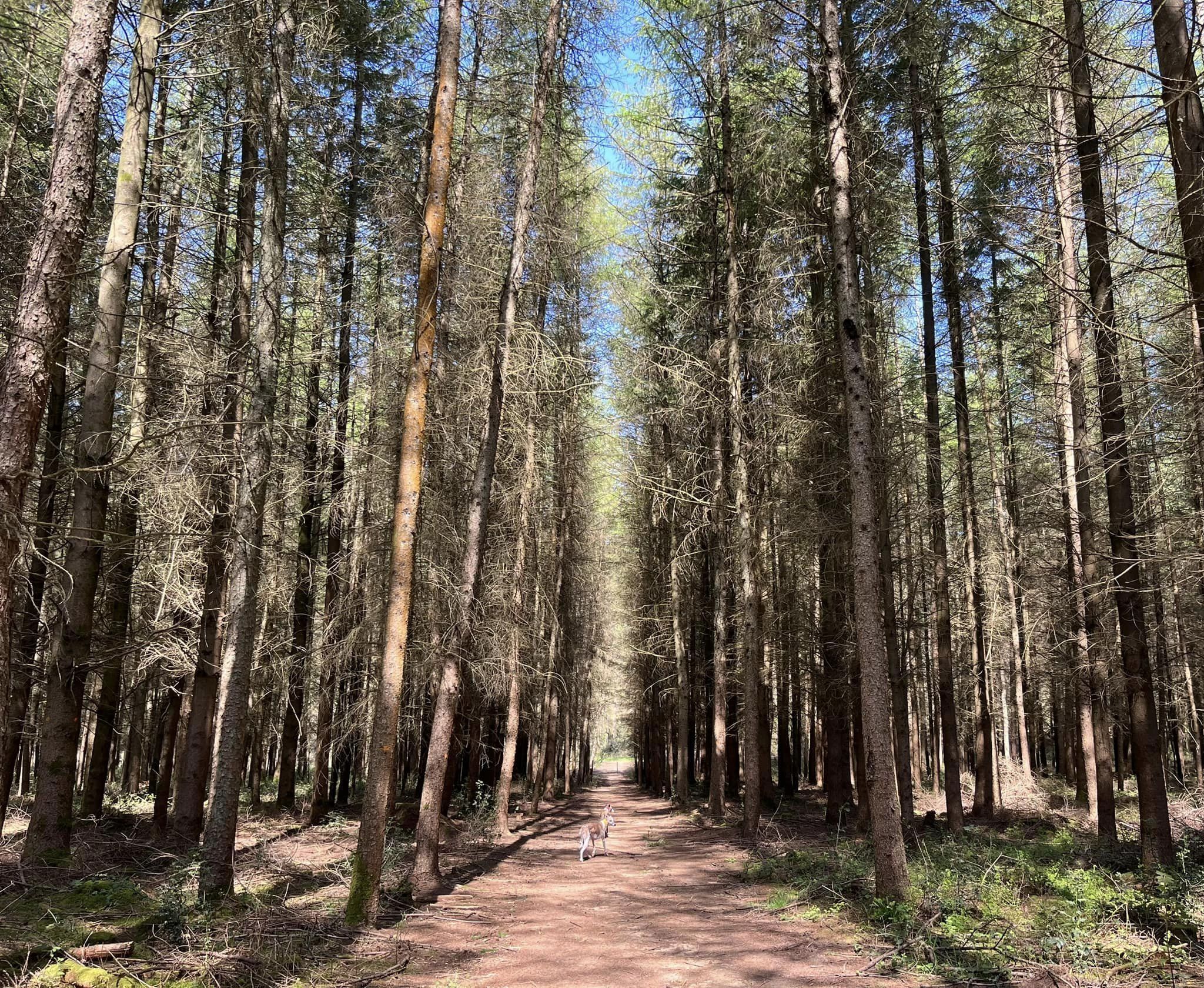
You’ll now basically stay on this path most of the way, continuing ahead even after the poles end and crossing straight over a track. Just keep on ahead until you get to a fork at some silver birch trees. Take the path on the left. (If you miss this, you’ll end up back at the car park.)
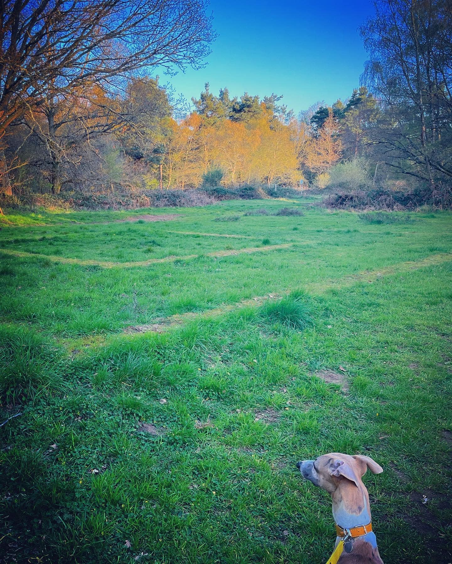
This to the left path brings you to a grassy area, where you can clearly see the two stone squares marking the site of the Roman temple.
The car park is just beyond.
