Page contents
About
Gallery
Parking
Poo bins?
Self-guided walk
About
Farley Heath is part of the Hurtwood, a privately owned woodland to which the public has had access since 1926, as granted by Reginald Bray, the Lord of the Manor of Shere. The Hurtwood got its name from its carpet of Hurts, the local name for billberries (blackberries.) The area is managed by the Friends of the Hurtwood, a registered charity.
Ride Lane is a ‘byway open to all traffic’, sometimes known as a BOAT or a ‘green lane’. Green lanes are unmetalled or not surfaced with Tarmac or other hardened coverings. Low footfall of traffic allows grass and other plants to grow along them, hence ‘green’. Many are ancient routes that have existed for millennia, such as hollow ways, drover’s roads, ridgeways and ancient trackways.
Since 2018, Ride Lane has been shut to vehicles with four wheels, so the only motorised vehicles that use it are off road bikes (although those that partake in ‘green laning’ tend to ride with care and it is generally accepted that motorised vehicles should give way to cyclists, horses and pedestrians.)
There is another post on this website offering a different route around Farley Heath, but on the Blackheath side of the road.
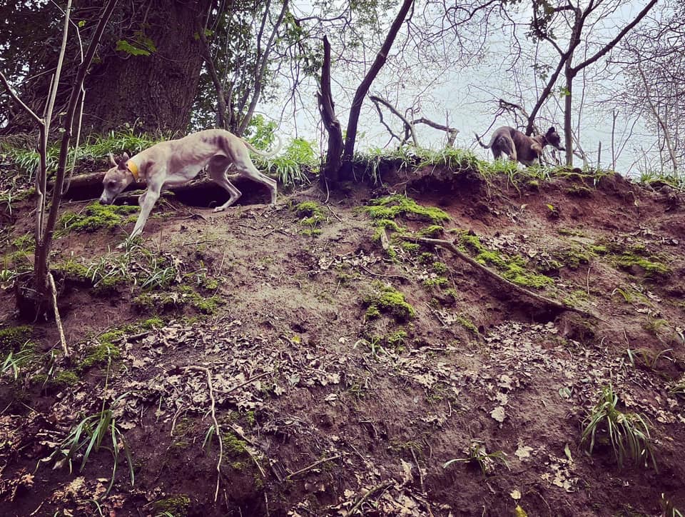
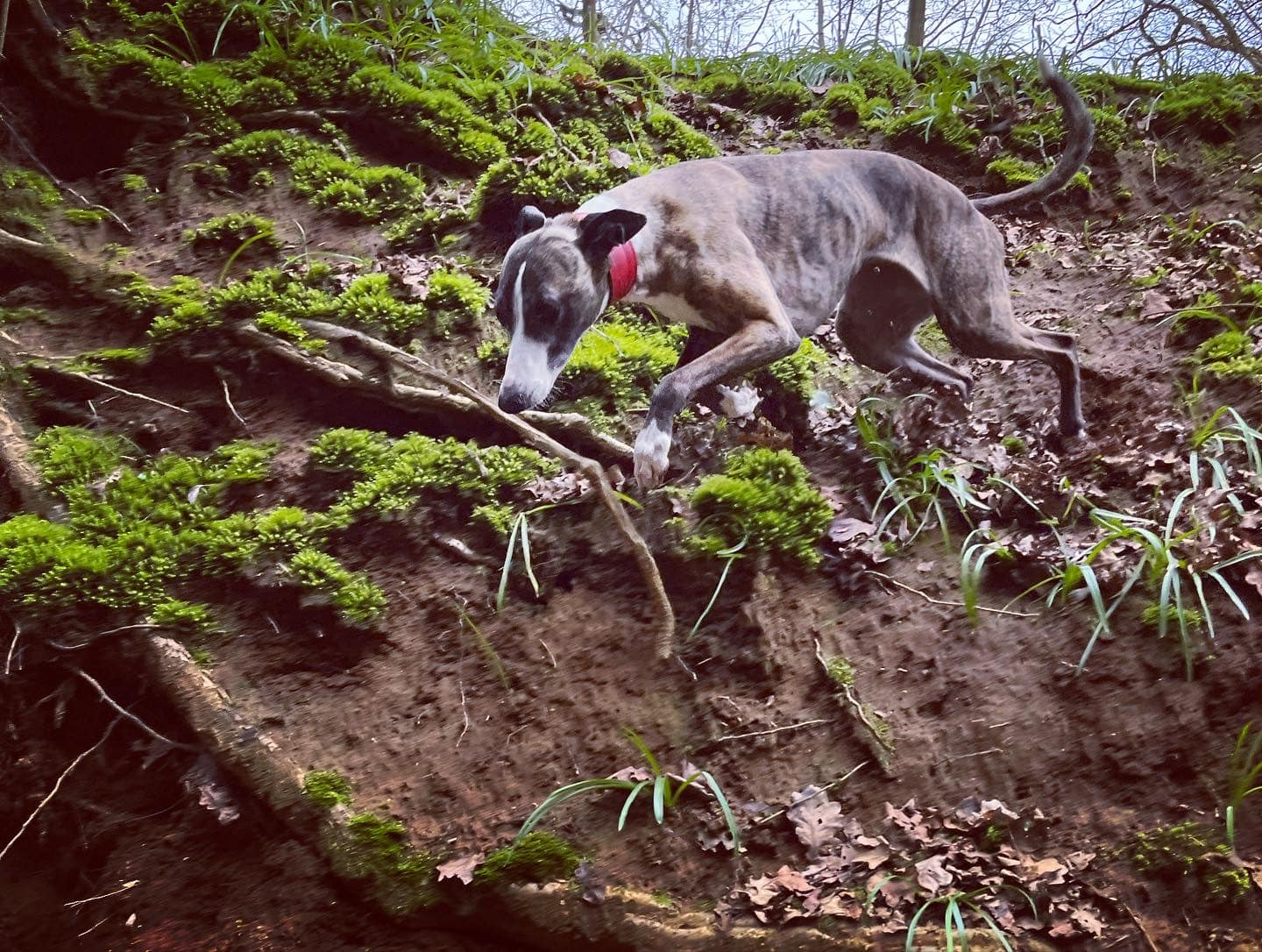
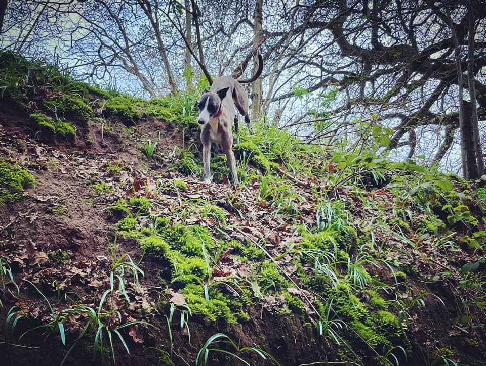
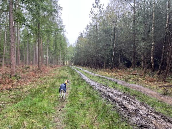
The Gallery: What’s it like here?


None, please take waste with you
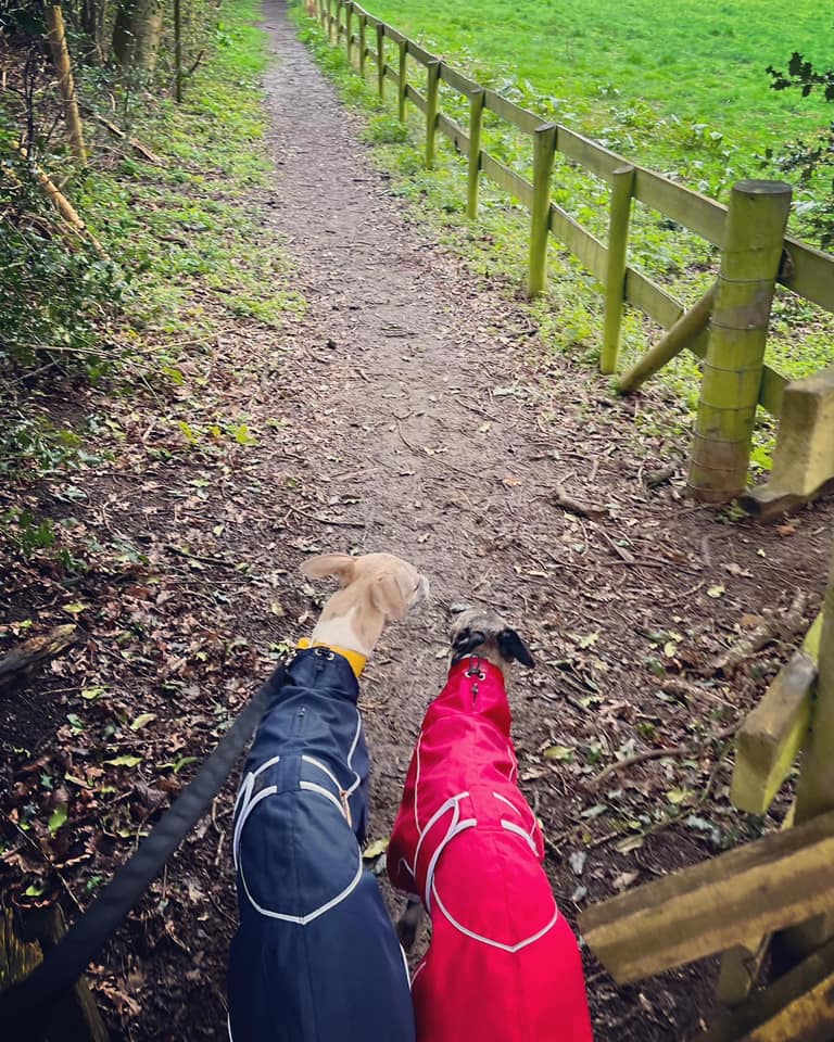
Self-guided walk
Here is a Footpath app route from Hurtwood car park 8. Also on AllTrails. It goes through Farley Heath and then along Ride Lane, before looping through a field and then back up through Farley Heath.
Length: approximately 2.1 miles/3.5 km
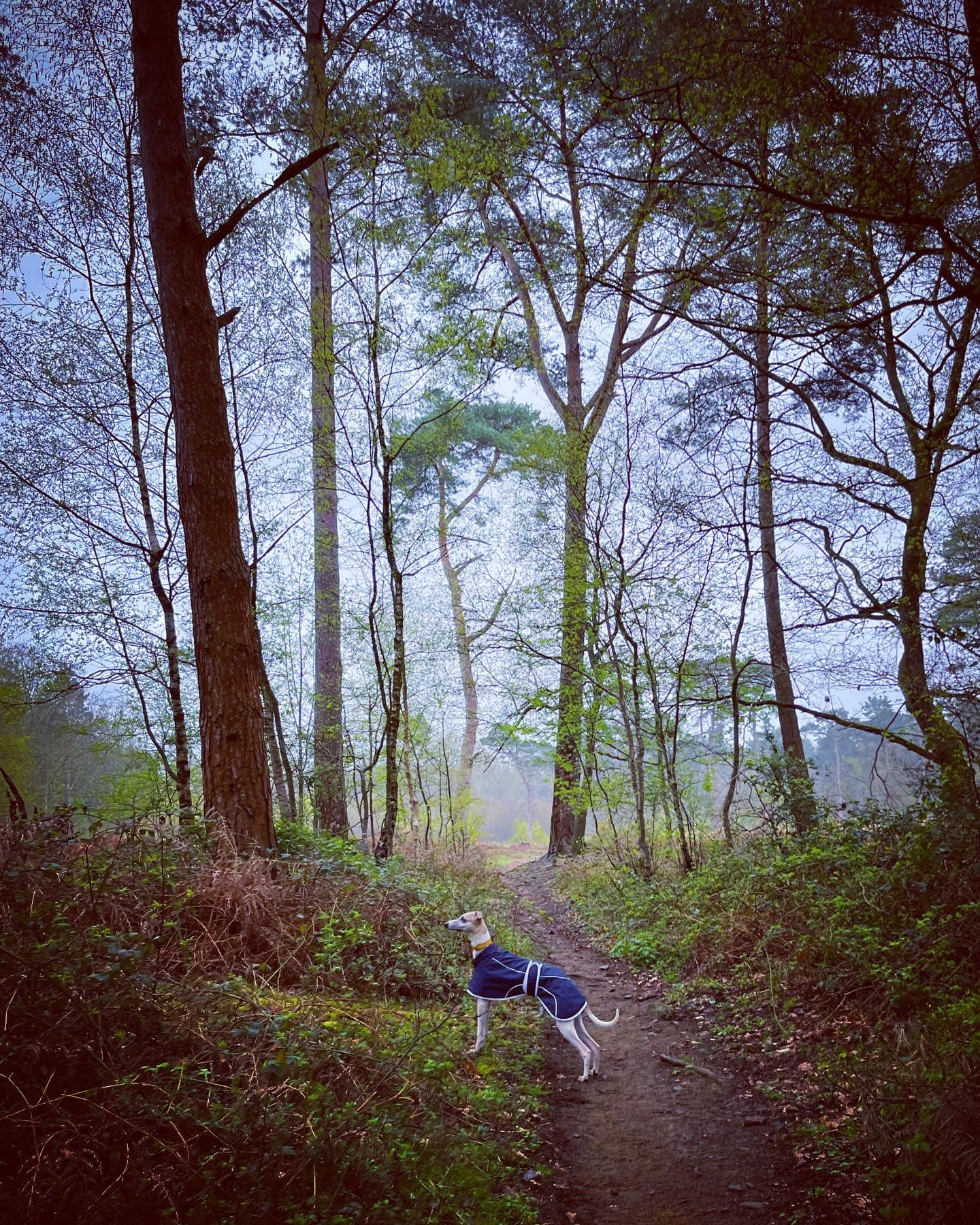
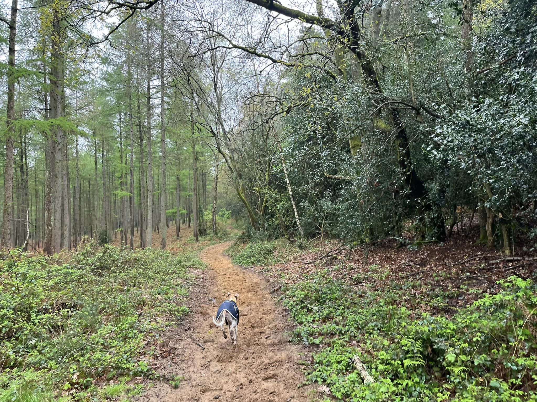
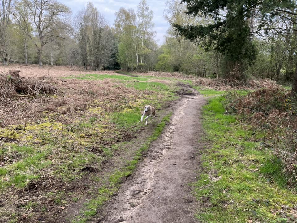
Terrain: This walk takes in woodland, heathland, lanes and fields. The slopes on this walk are generally pretty gentle but the ground is rugged so they can feel worse than they are. Some of the route follows a couple of lanes, including Ride Lane, which may be used by off road motor bikes so be vigilant.
Stiles/kissing gates? No stiles to go over (some to go around), no kissing gates
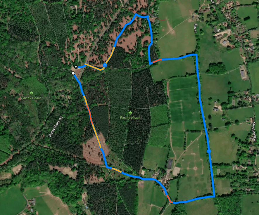
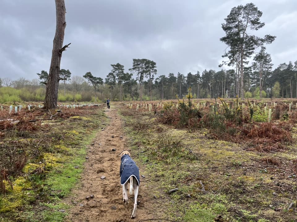
Park in Hurtwood car park 8 and with your back to the information board about Farley Heath, leave the car park through the exit on the right. Cross Farley Heath Road and take the footpath to the right of the vehicle barrier where there is a finger post.

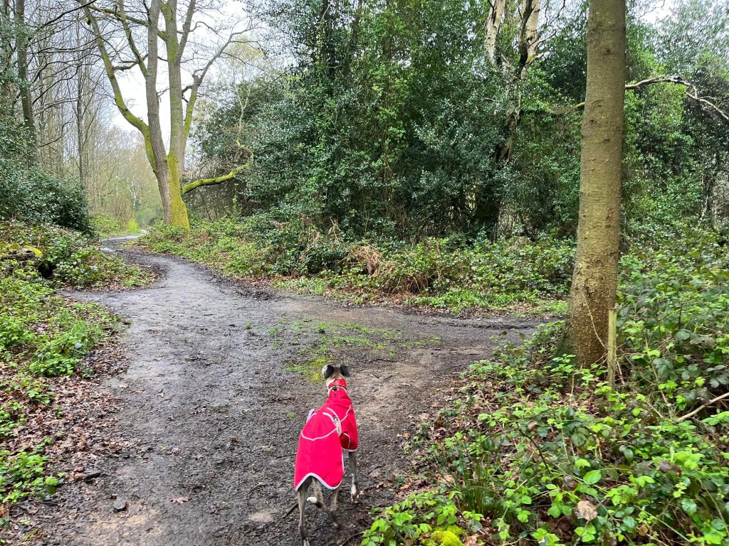
The path becomes sandier underfoot and goes slightly uphill. At the fork, take the path on the right.

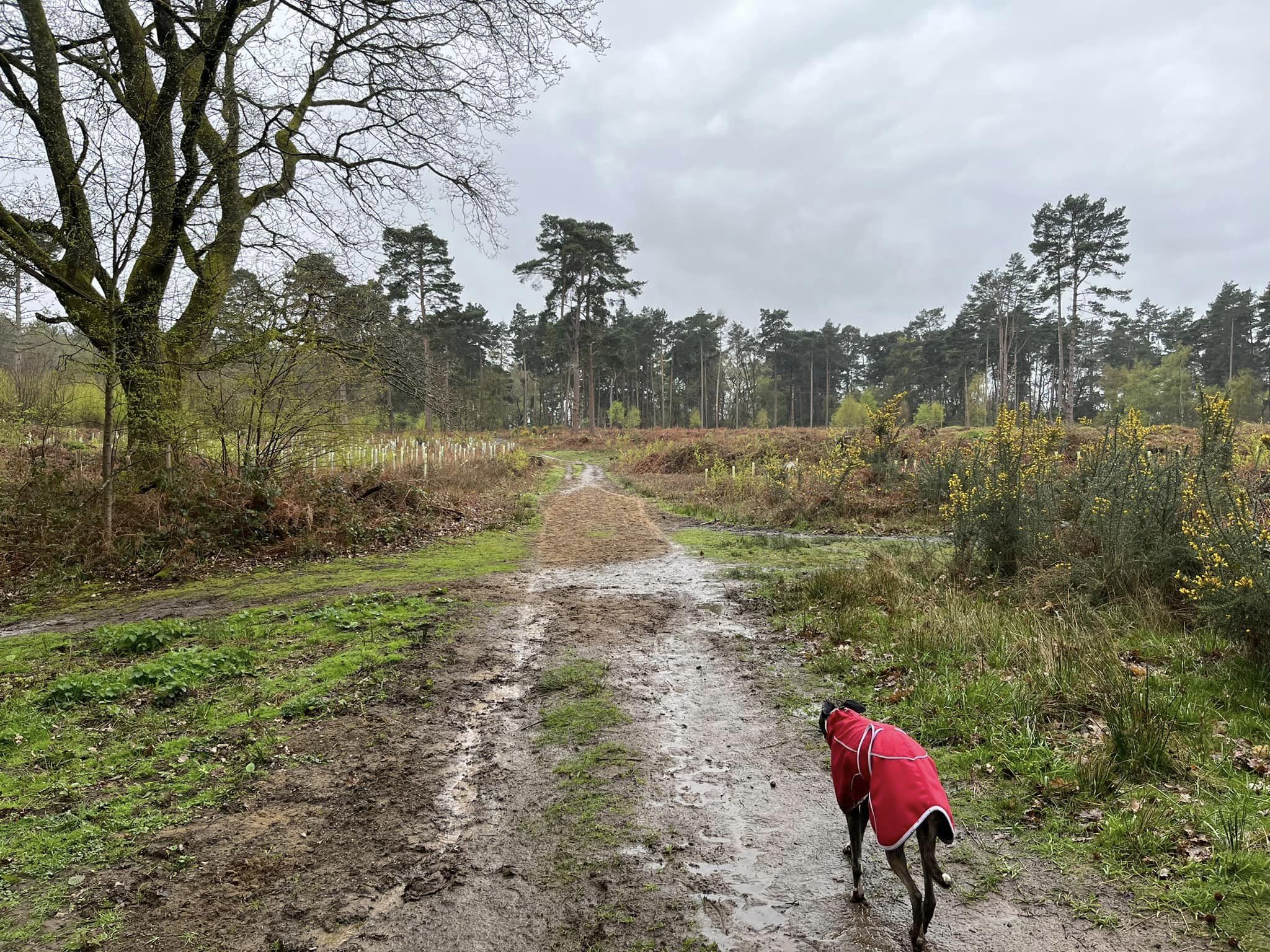
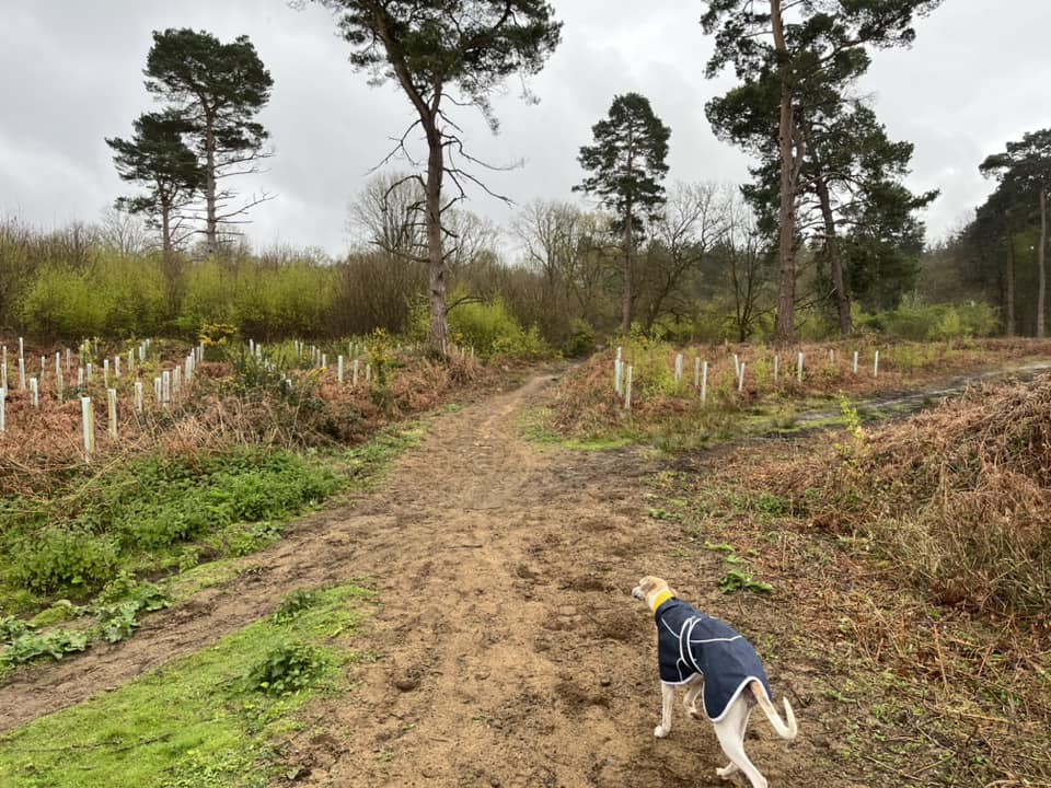
It’ll come to an area that opens out where new trees are being planted.
At the cross paths, continue straight ahead and up the hill. You’ll come to a tarmac lane/access track and turn left.
Pass the 10 speed sign.
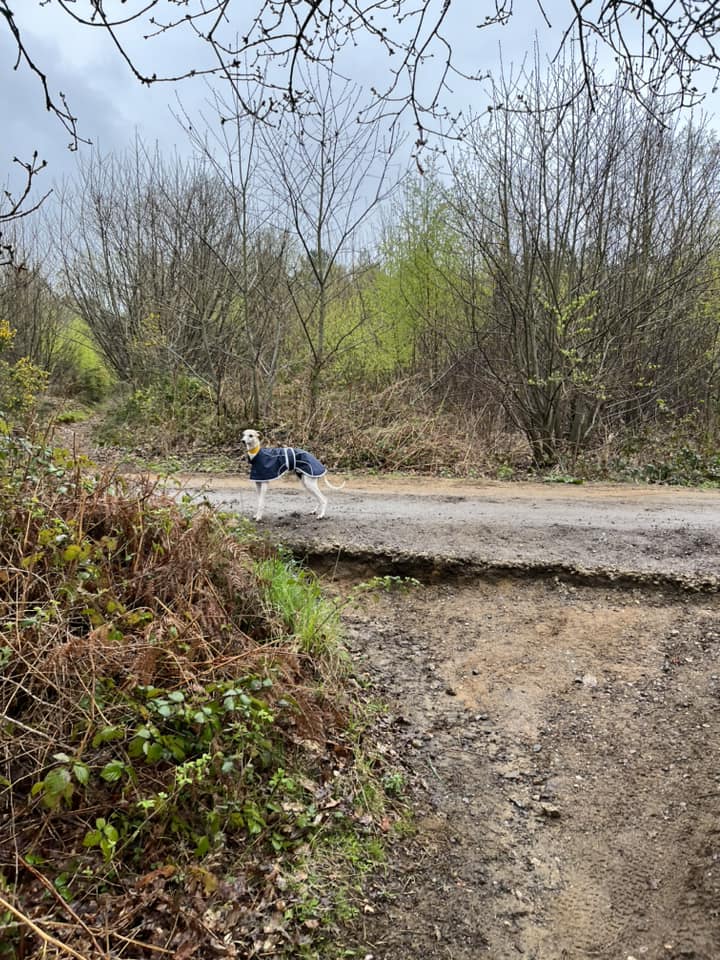
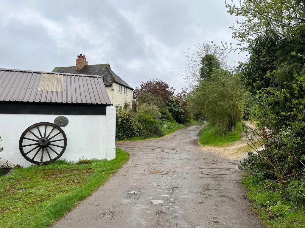
The lane goes through Mayor House Farm, passing Mayor House and Mayor House Farm and Liveries. At the liveries building, where there is an old wheel resting against the wall, continue straight ahead, passing “Pentland” house on the right. Ignore any gates or paths off and just stay on the lane – you’ll notice it becomes progressively less like a lane as you go on, the ground underfoot becoming less even and sandier.
When you get to the finger post (on the right), there is a cross paths ahead, where there are two little wooden posts on either side. This is Ride Lane.

You now have two options. Ride Lane is a green lane and, as explained in the post intro, this means it is used by walkers, cyclists, horse riders and motorised off road bikes. It isn’t common but they are allowed to come down it. On the occasion I encountered some riders, I heard them coming and they slowed right down and we were able to navigate them passing quite easily.
However, I understand some people may wish to avoid this entirely. There is a path that runs parallel to Ride Lane – up above it. This path is narrow and has a number of stiles along it – they all have passing gaps so you don’t need to get over any of them, but the gap for one of them is quite narrow. It’s totally passable but just flagging this.
Keep reading for option 1, which goes via Ride Lane. Click here to jump down to option 2 on the little path above Ride Lane that runs parallel with it.
Option 1: Ride Lane
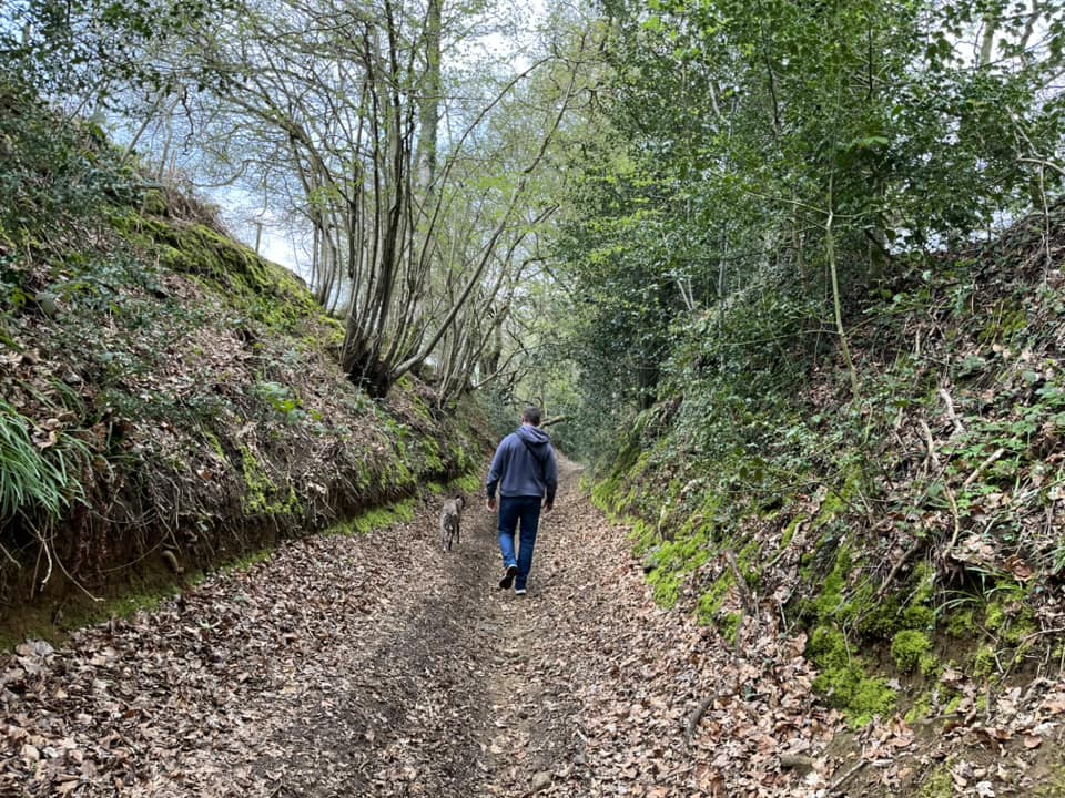
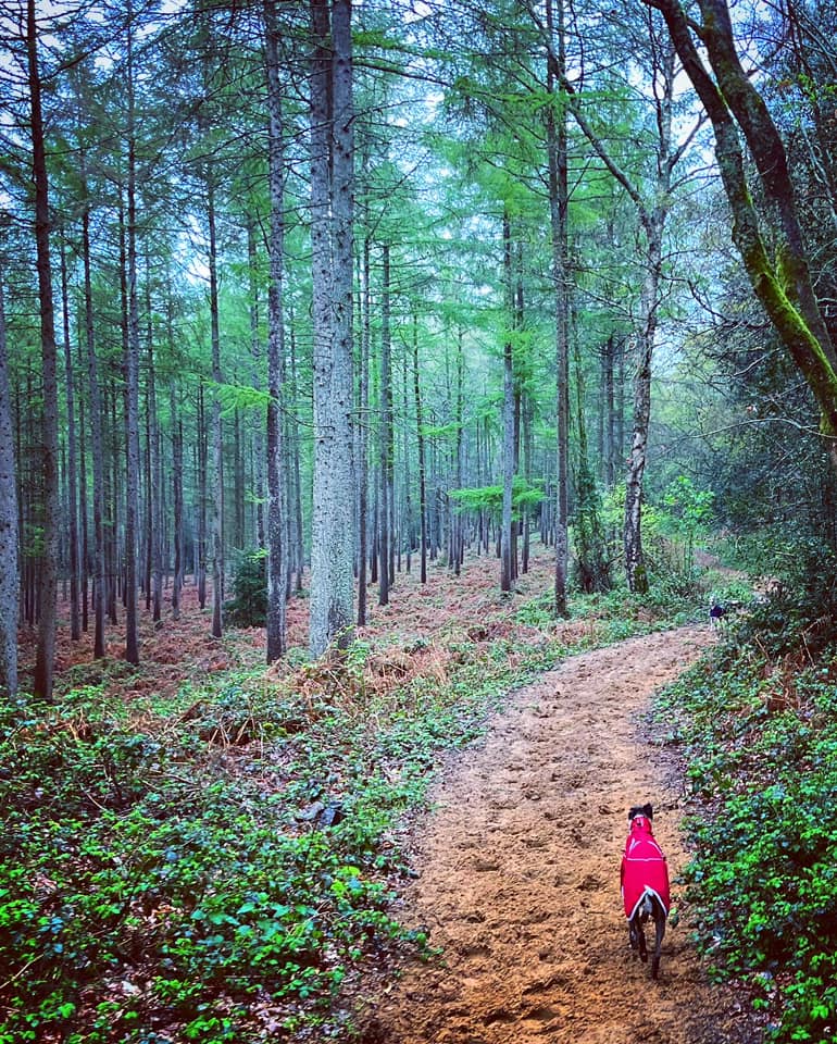
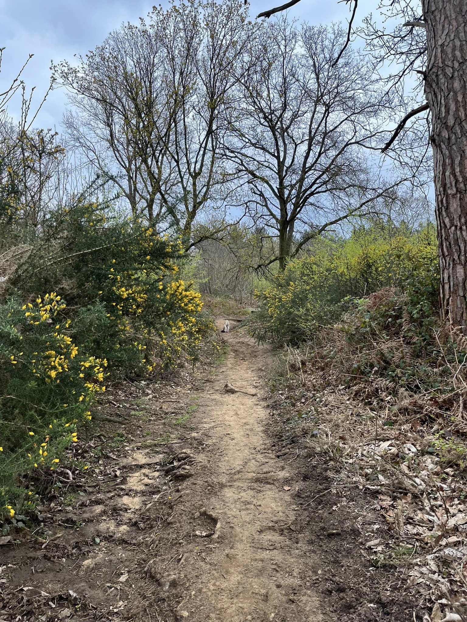
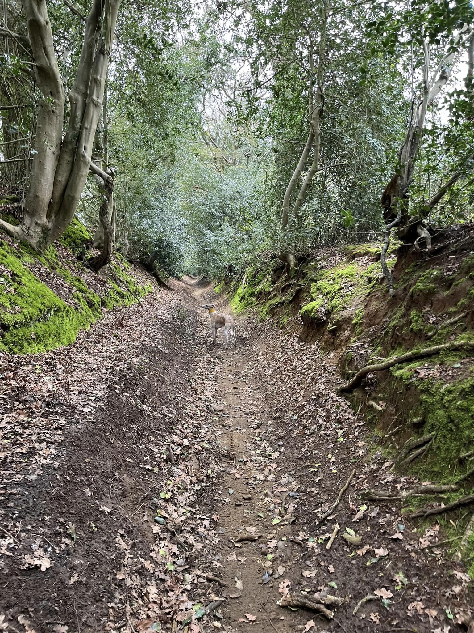
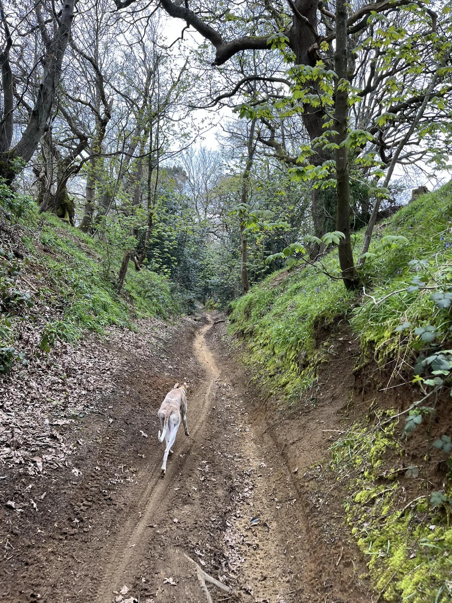
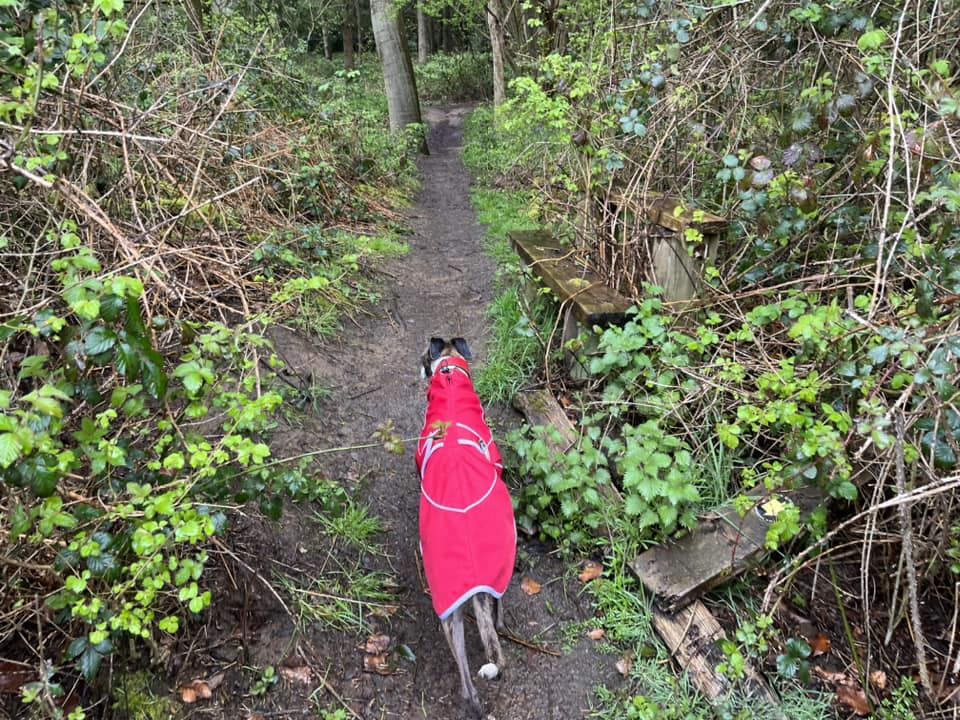
If you decide you want to take this ancient green lane, turn left at the cross paths and pass between the two little wooden posts. The path is deep, sunken and can be quite gloomy, but it’s also charming in its own way.
You’re on this path for quite a long way – over half a mile at least. You’ll pass a cross paths where there are stiles left and right, but obviously keep going ahead.
Keep an eye out for a track going up out of the sunken lane on the left towards the fields – it is quite sizeable so you shouldn’t miss it. Turn left and go up here.
Click here to jump over the option 2 description to continue the walk.
Option 2: narrow path above Ride Lane
To not take the green lane, cross straight over Ride Lane and continue through the gap ahead between the holly bushes. There is a sign on the right reading “Private driveway”. To the left there is a short but steep slope up towards a fenced enclosure. You’ll be able to see that there is a narrow path that runs down the side of the enclosure, between the fence (on its right) and Ride Lane (to its left). Go up this little slope and walk down this narrow path.
At the end of this first enclosure, the path zig zags to follow the line of the fence and then continues on. Continue on with it.
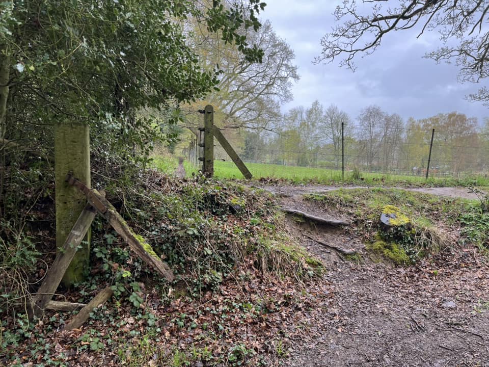
Pass through the gap where there is a broken stile. Keep on.
Continue straight ahead at the junction with the path on the right, where there is a stile leading down to Ride Lane to your left.

The next stile you come to is the one I flagged earlier. You can go around it to the left, but it is narrow so do hang onto the wooden post!
At the fourth stile, go through the gap to the left and keep on again.

Not long after this, you’ll come to a fork by another stile, which is over to the left of the path and clearly not used for anything anymore. At this fork, take the left-hand path, which descends down through a holly bush to Ride Lane.

At the bottom, turn right onto Ride Lane for a very short way then to your left, there is a sizeable track going up out of the sunken lane.
The two route options come back together here.

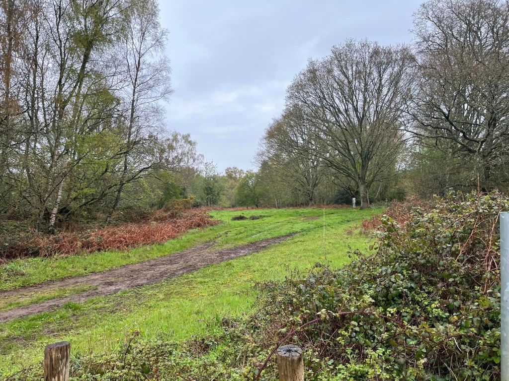
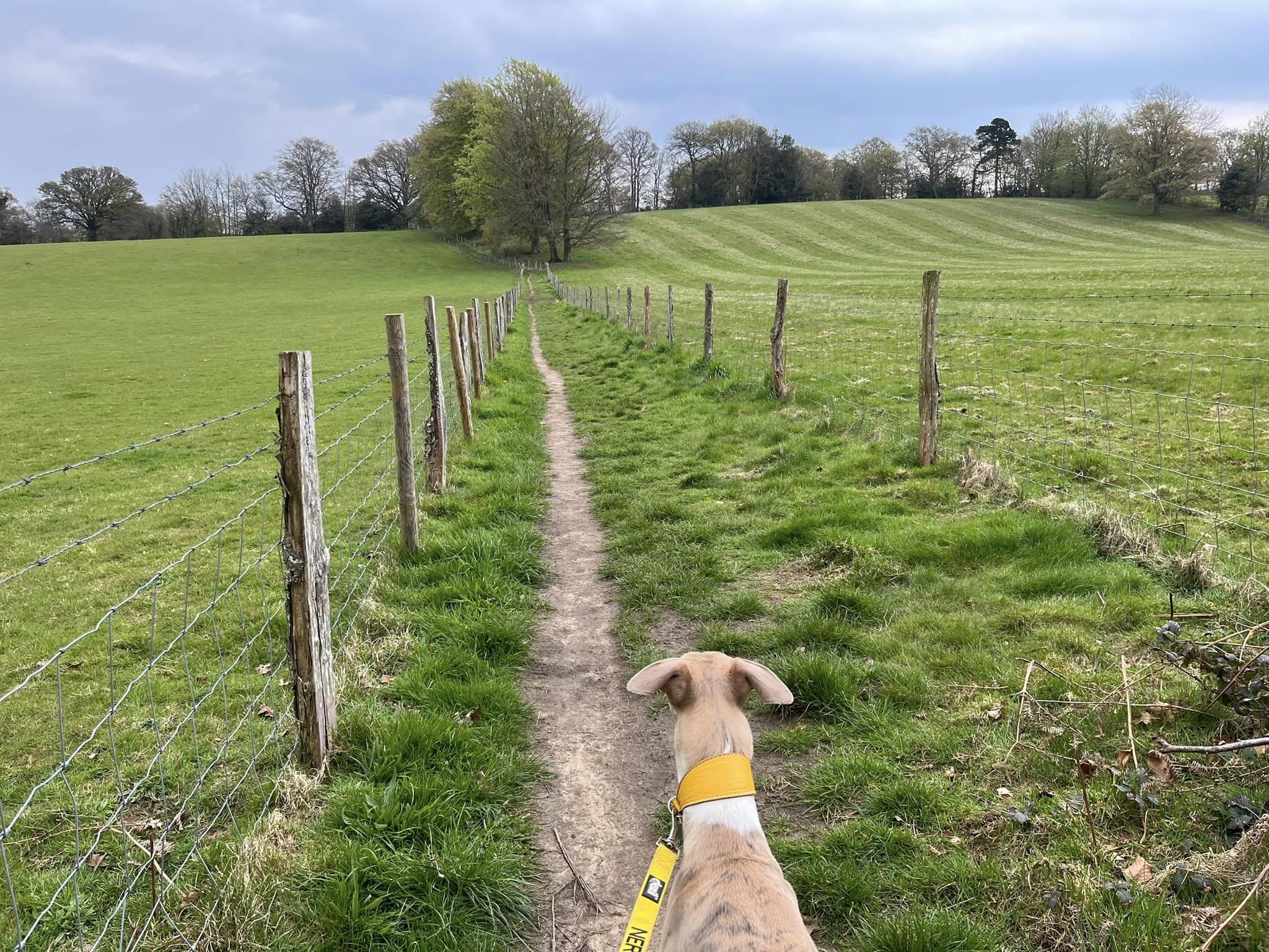
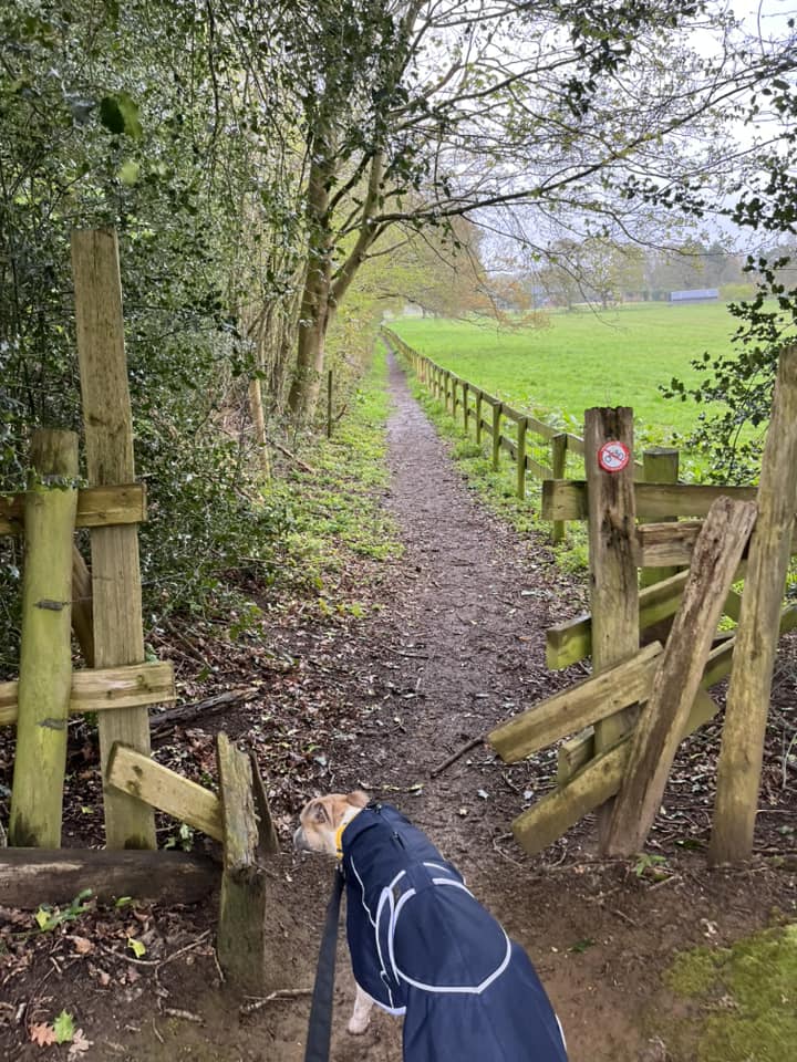
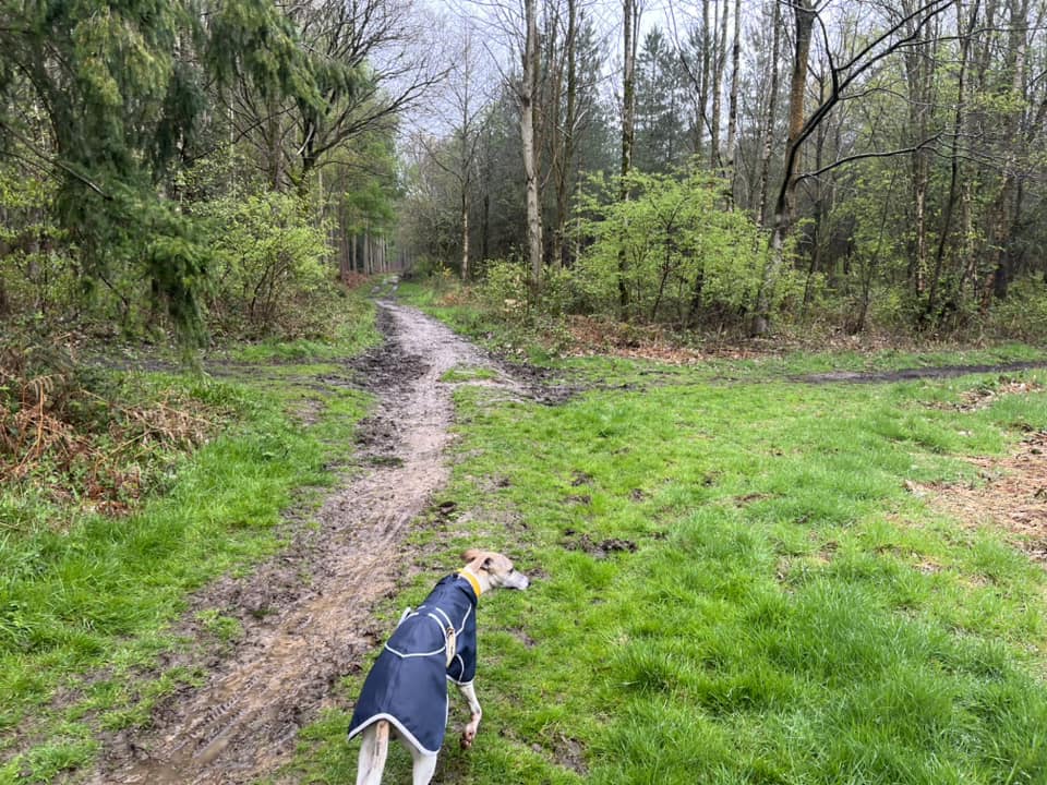
When you climb up out of Ride Lane, the grassy path ahead goes between two fences with large fields on either side. Walk down here towards the woods ahead.

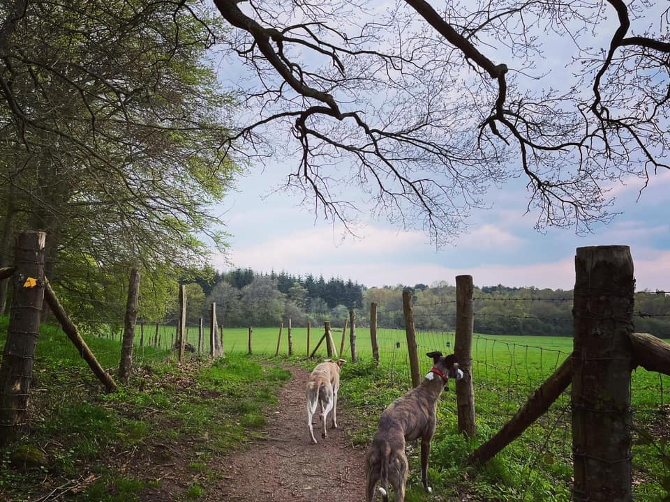

As you enter the woods, you’ll pass a broken stile.

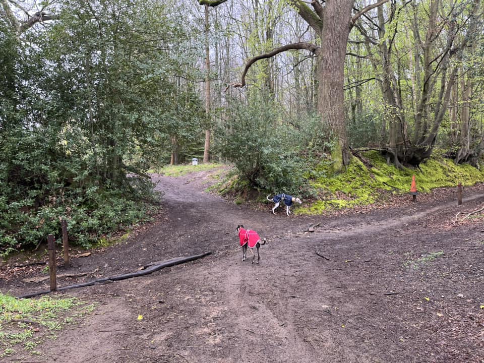
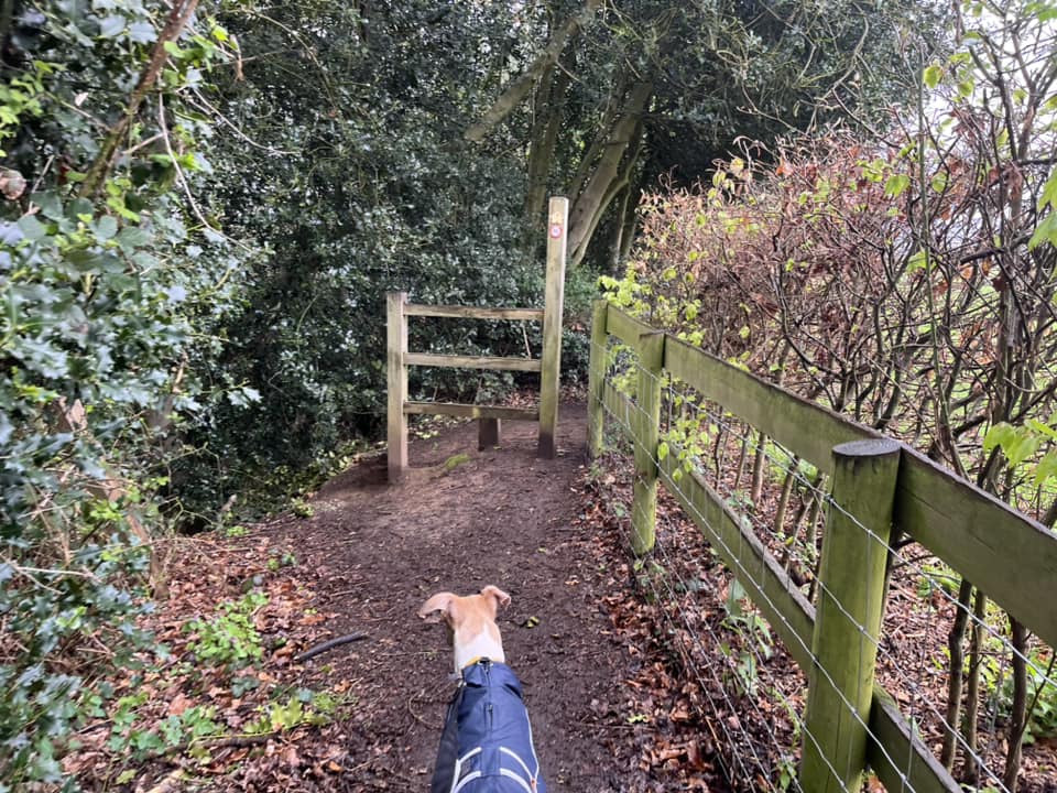
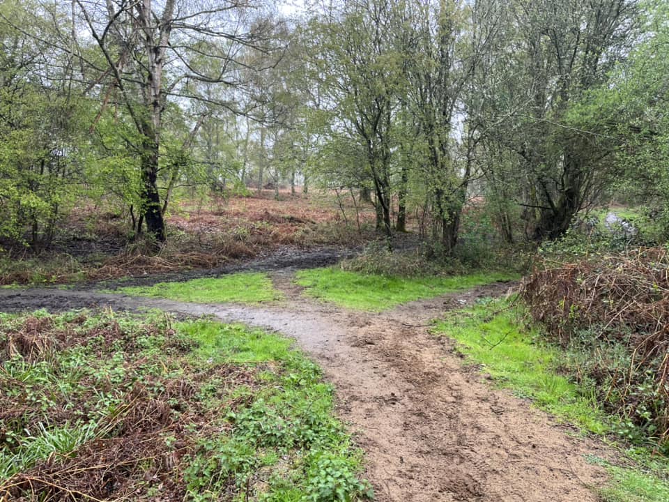
Continue ahead and up the slope until you get to the first cross paths – there is a little wooden post to the right just next to a tree. Turn right here.
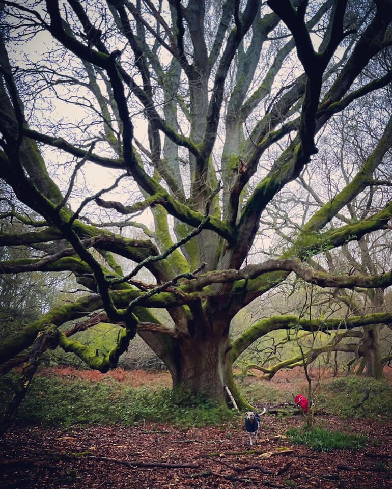
This path heads gently downhill and passes a magnificent tree on the left. Continue straight ahead.

At the next junction of paths, there is a fork off to the right, which goes towards the fields. Ignore this and continue on the left fork.

Follow this path all the way to a small T-junction by a tree (on the right). Turn right at the T-junction.
The next junction of paths you come to is a bit of an odd one to describe. It’s like a three-way fork. Take the path to the left, which goes uphill.
You’ll pass under the branches of a large tree which reach out over the path and then come to a path off to the left, where there is a triangular patch of grass surrounded by mud paths. Turn left here.
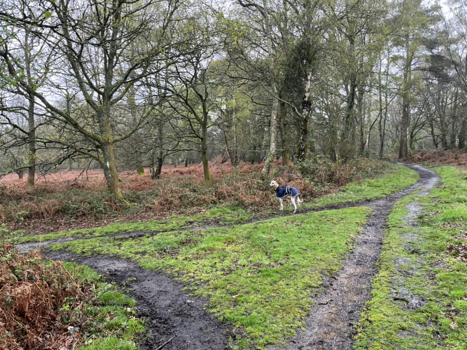
Now you stay on this path through the heath. After a little way, there will be a plantation of tall fir trees on the left. Continue ahead with these trees to your left.
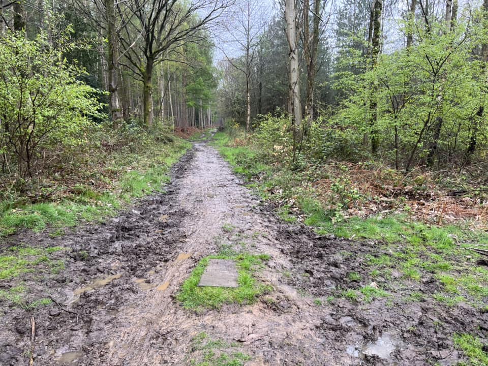
At the cross paths, where there is a drain cover in the middle of the path, turn right. This path will wind up to the road.
Cross Farley Heath Road and enter the car park by the other way in.

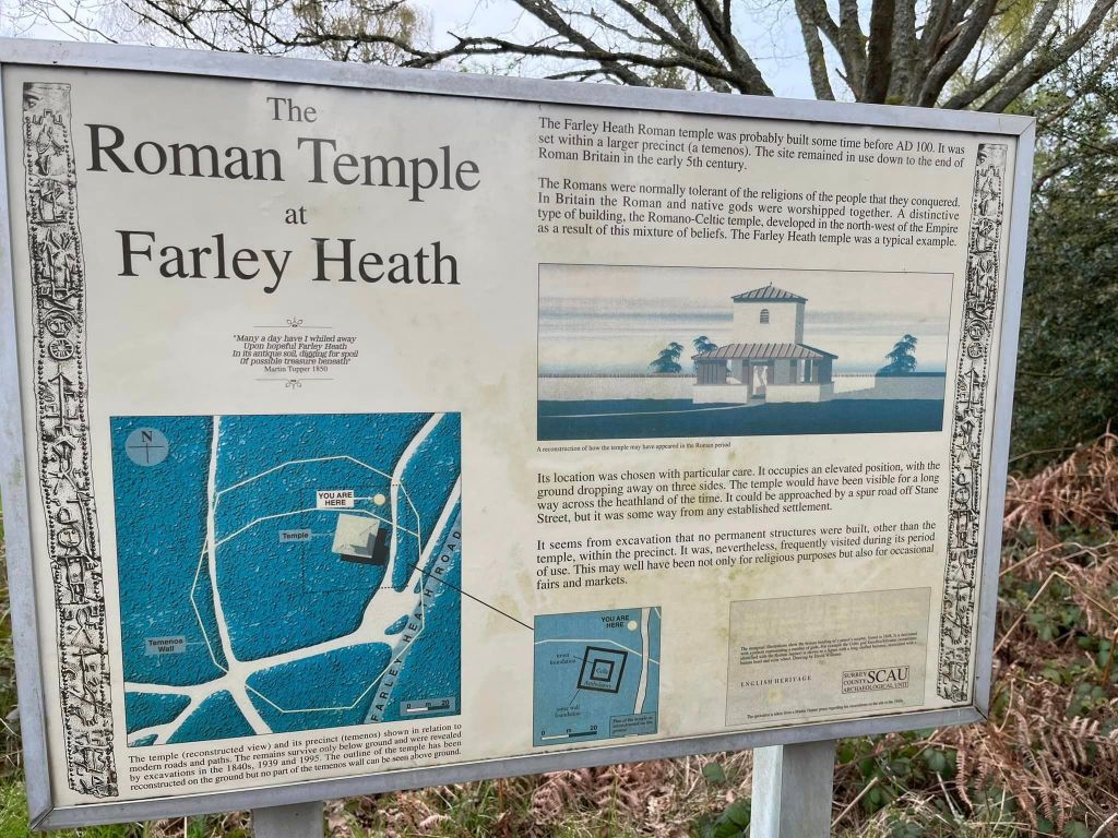
(Out of interest, as you go through the car park entrance, look to your right where you’ll see a grassy area – this is the site of the Roman Temple – you can read more about it on this post describing another route at Farley Heath.)