
Page contents
About
Gallery
Instagram reel showing here
Parking
Poo bins?
Self-guided walk
About
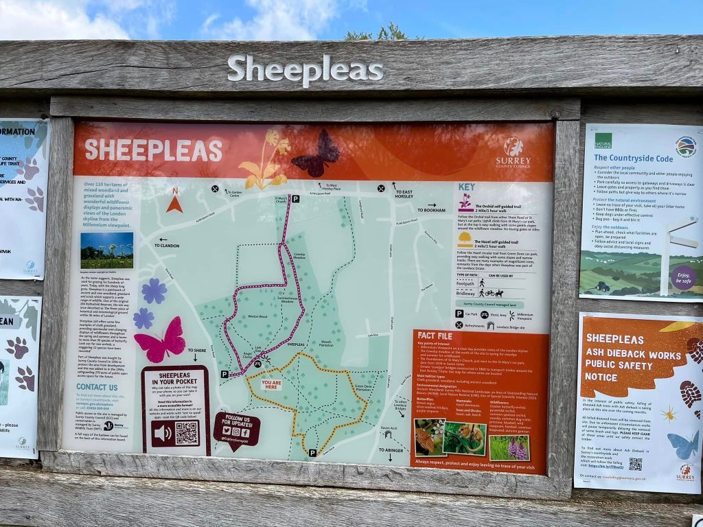
Sheepleas is a 110 hectare site comprising mixed ancient woodland, grassland and scrub and supporting a wide range of wildlife, including over 30 species of butterfly and several species of rare orchids. One of the original 284 Rothschild Reserves, its name comes from its history as an area where sheep were grazed, although this is no longer the case and today it is managed by Surrey County Council and Surrey Wildlife Trust.
There is apparently evidence of farming dating back to the Bronze Age and coins from pre-Roman and Roman times have been unearthed in the area.
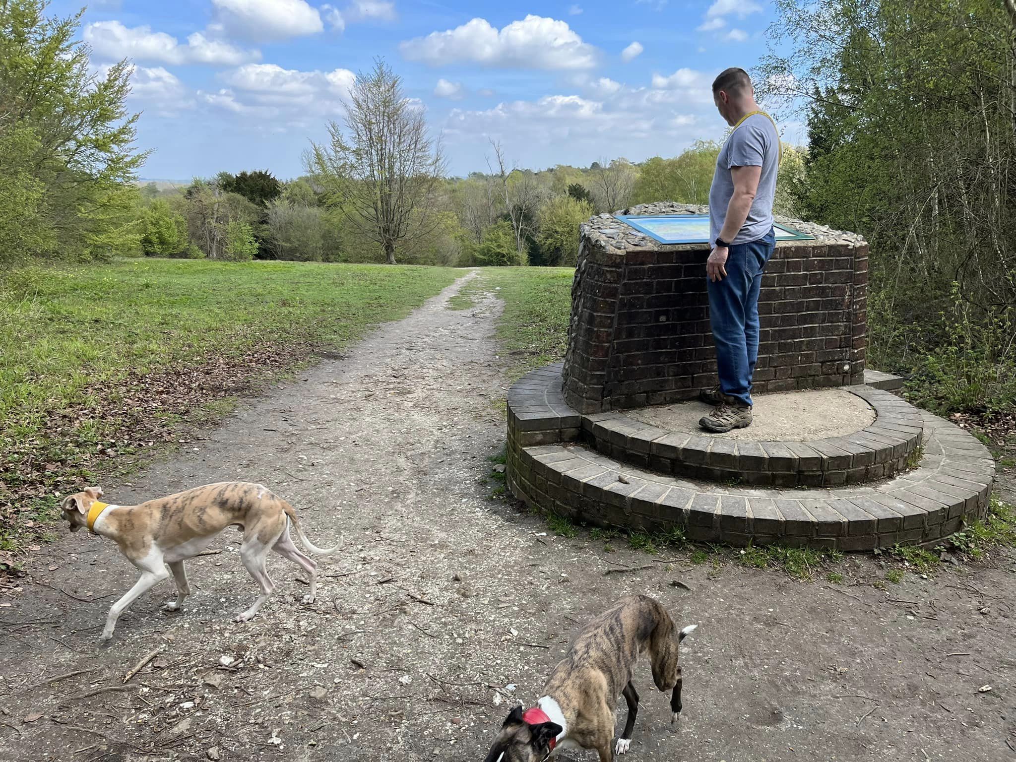
Up on top of the hill, you’ll find the Millennium Viewpoint, which was formally declared open on 2 January 2000. From here, you can see the skyscrapers of London on a clear day.
There are three car parks for the Sheepleas: Shere Road car park, St Mary’s Church car park and Green Dene car park, which is the one that the walk on this page starts at.
There is another walk on this site that starts at the Green Dene car park – the Lovelace Bridges walk, which explores the other side of the road.
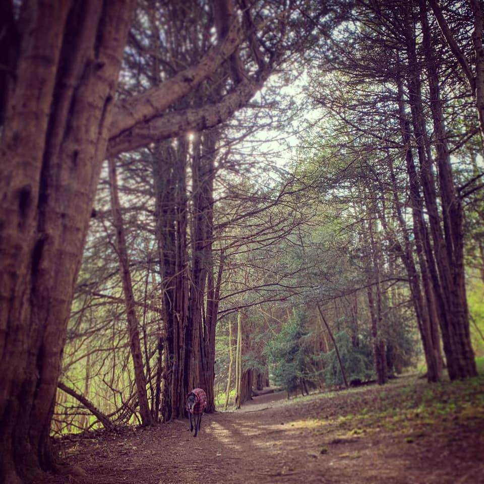
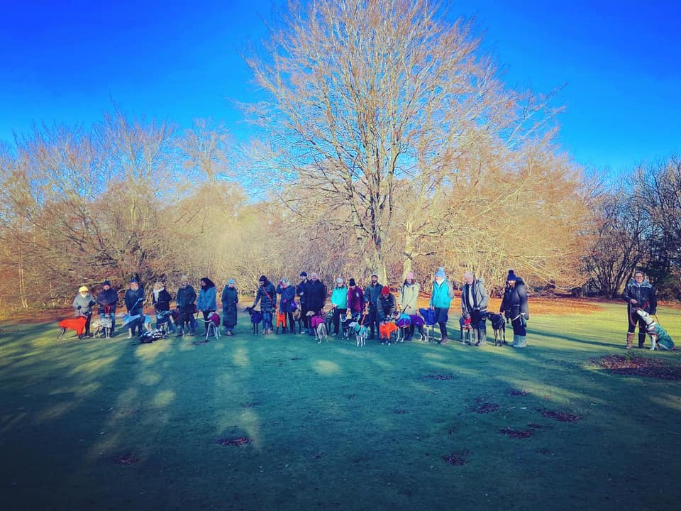
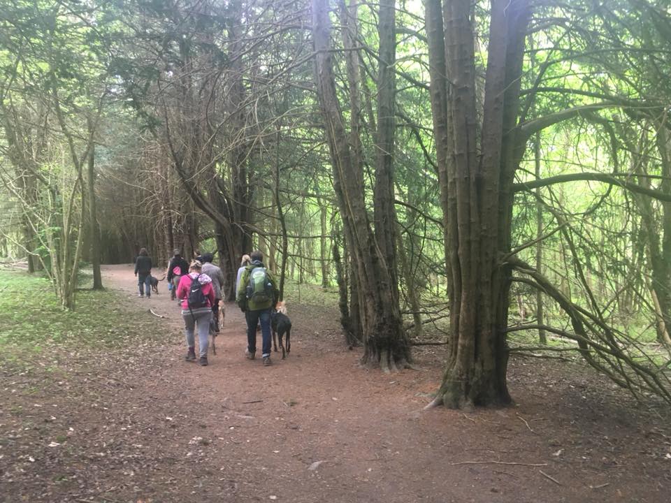
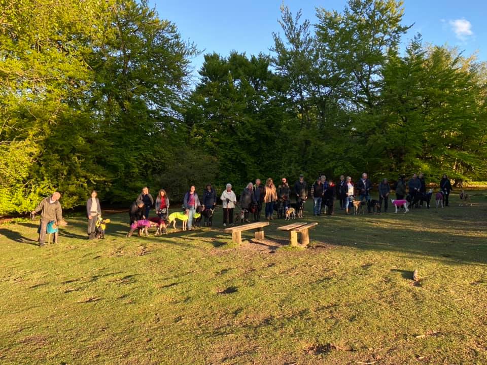
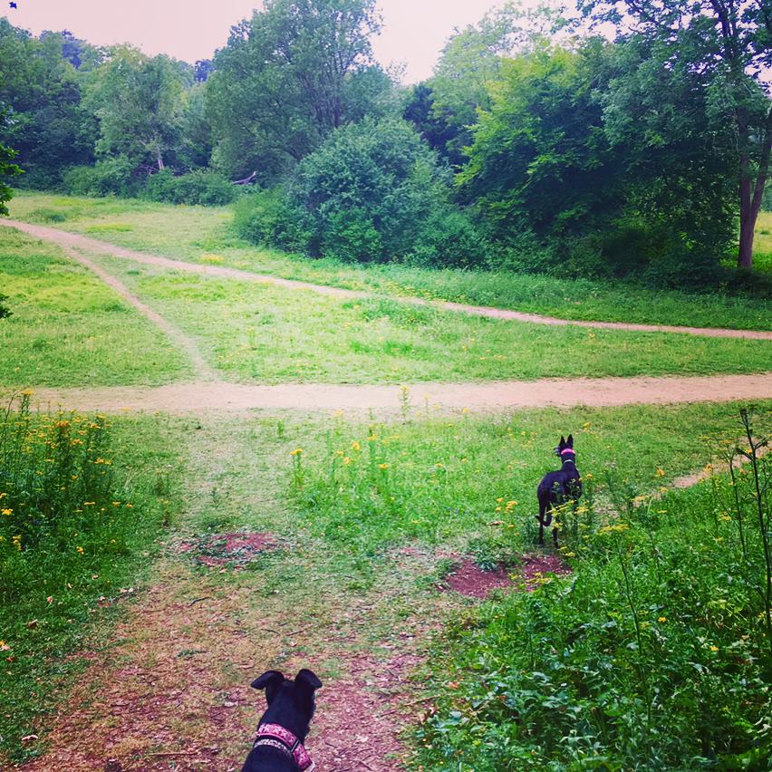
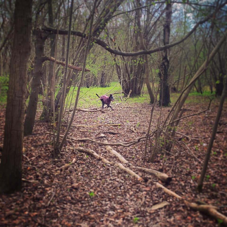
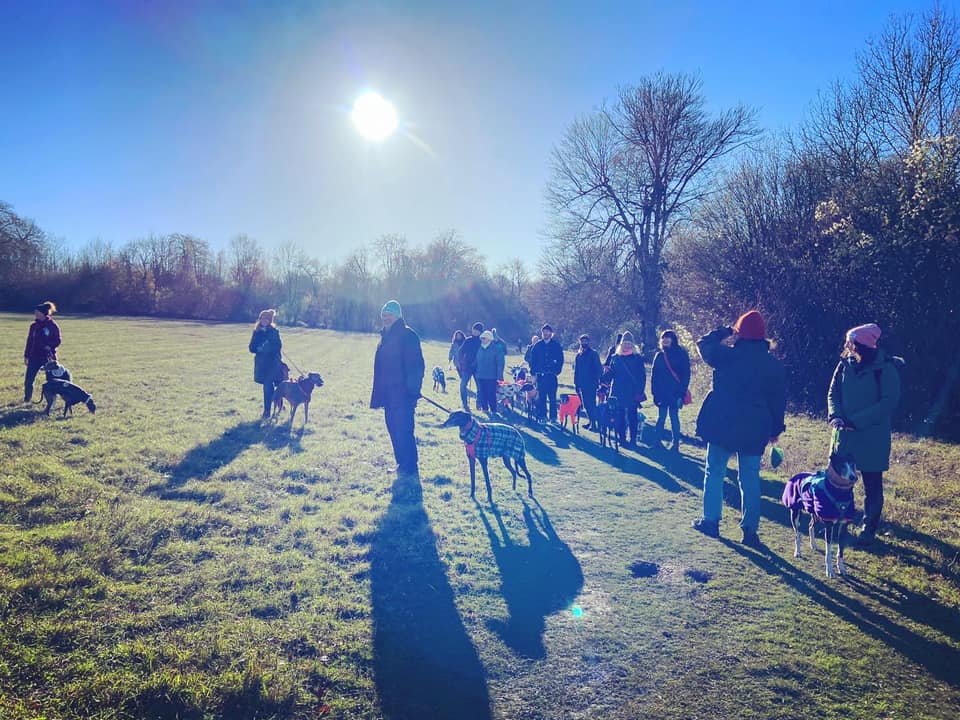
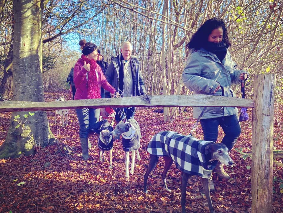
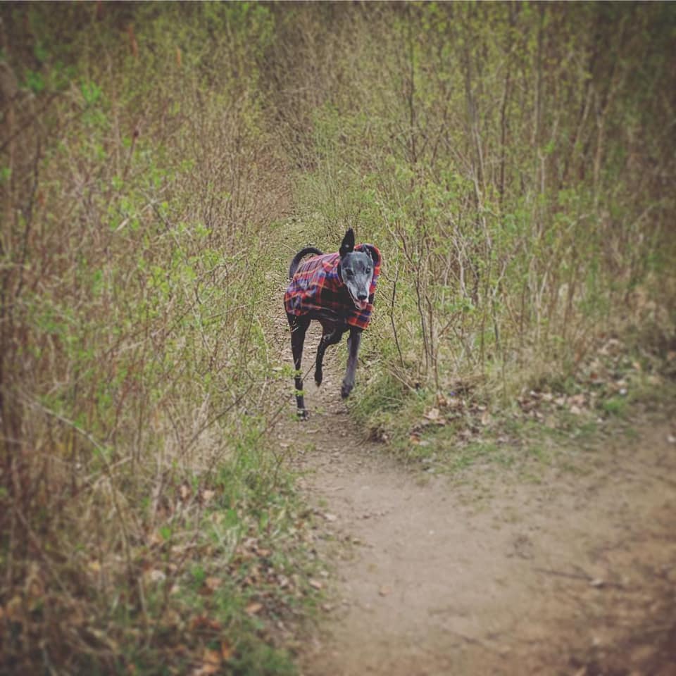
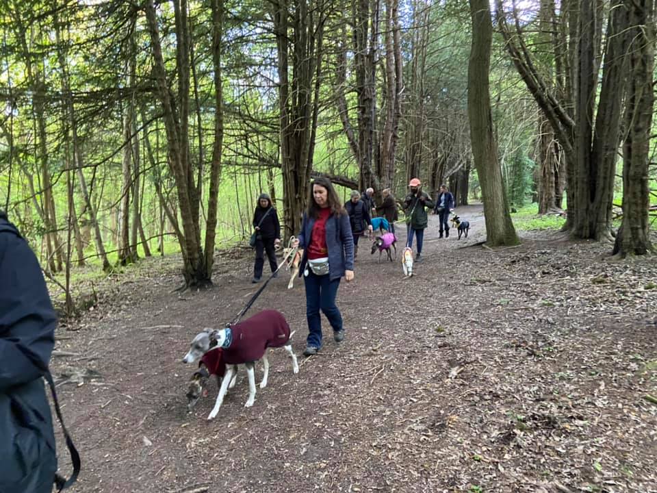
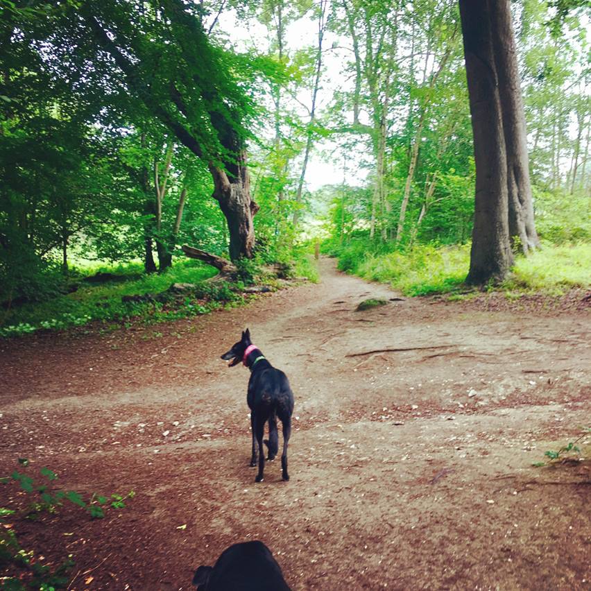
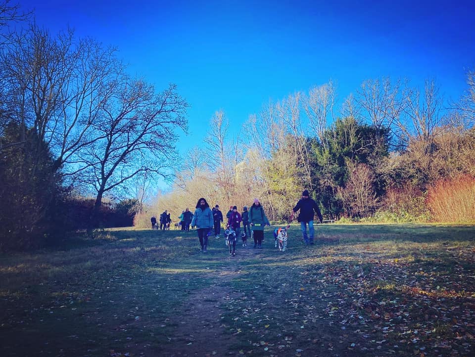
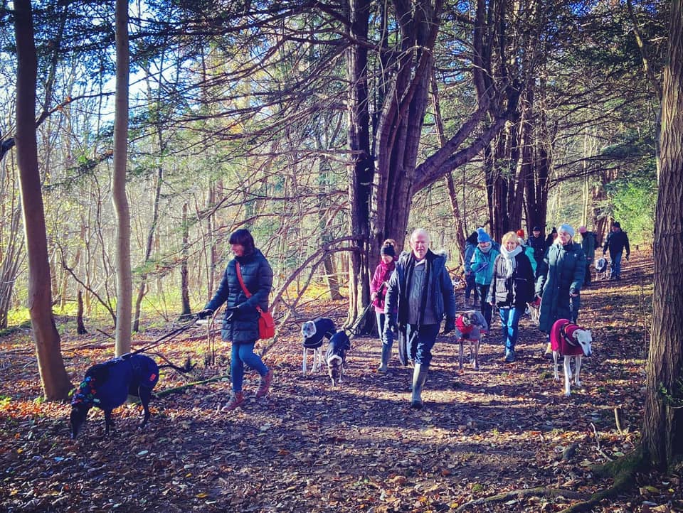
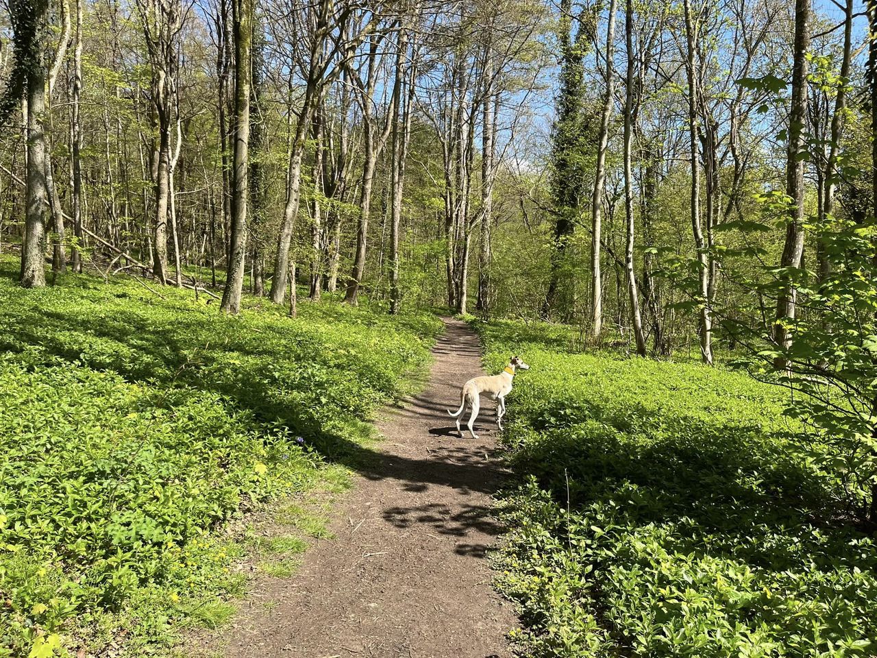
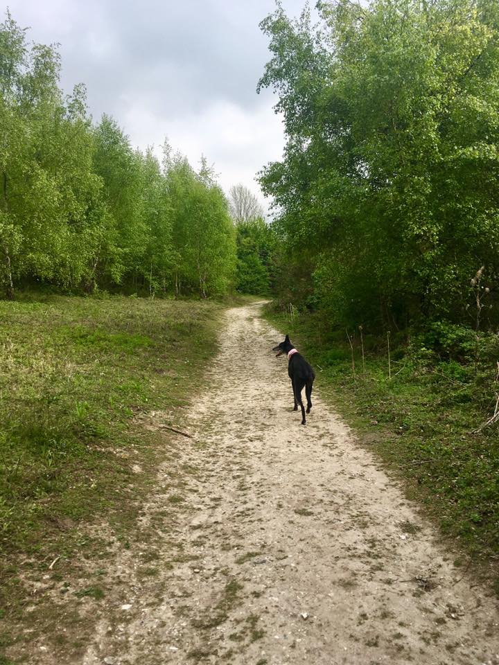
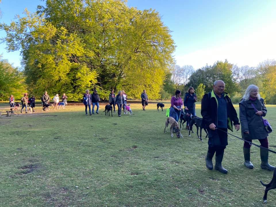
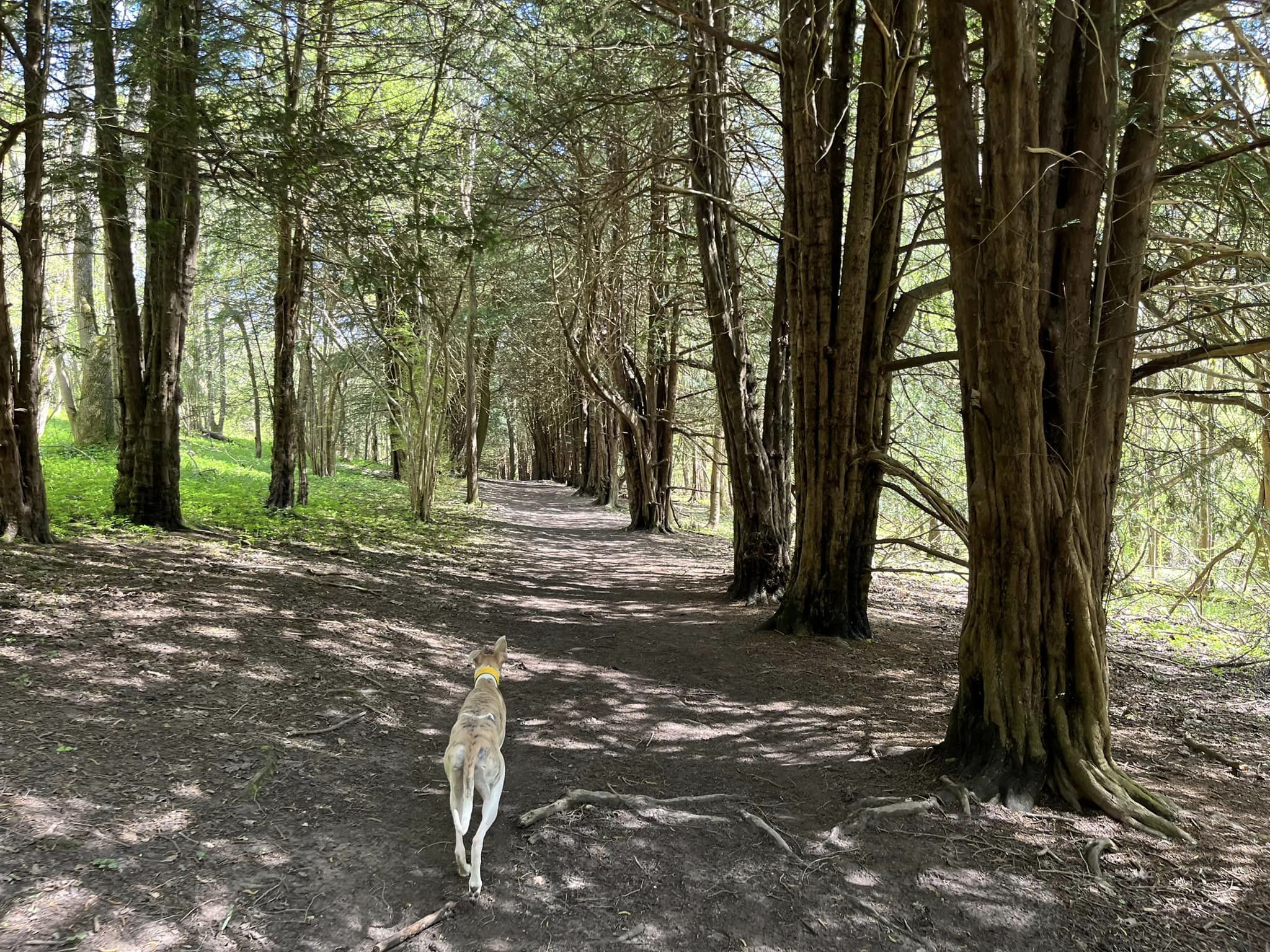
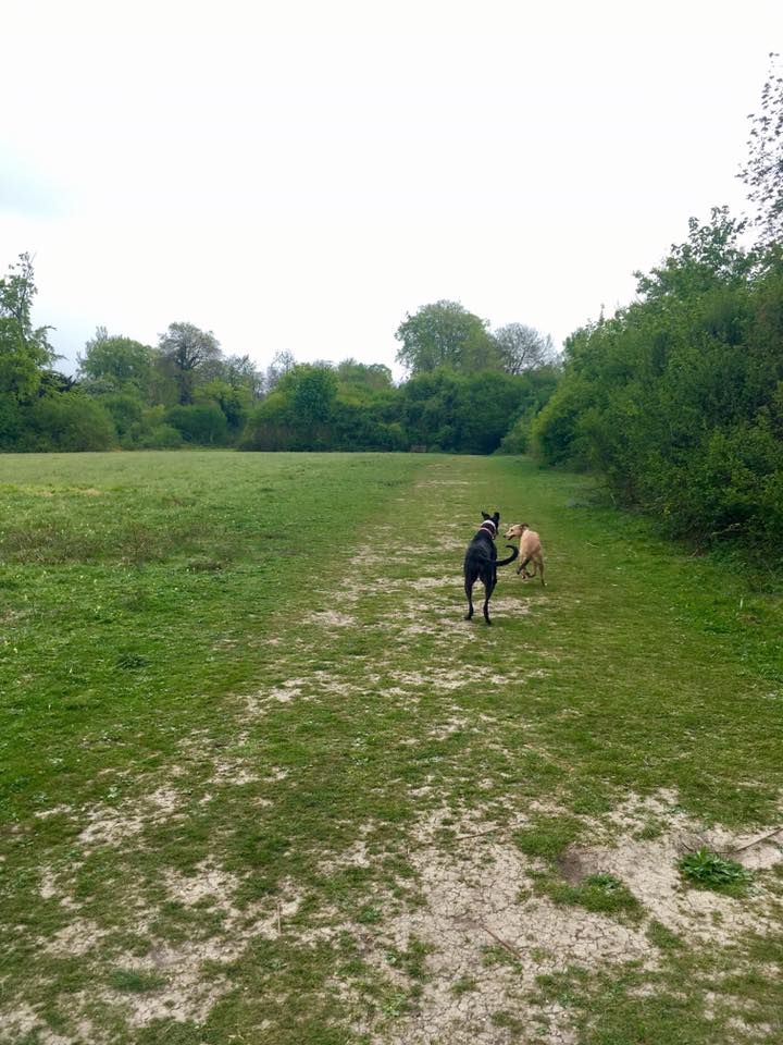
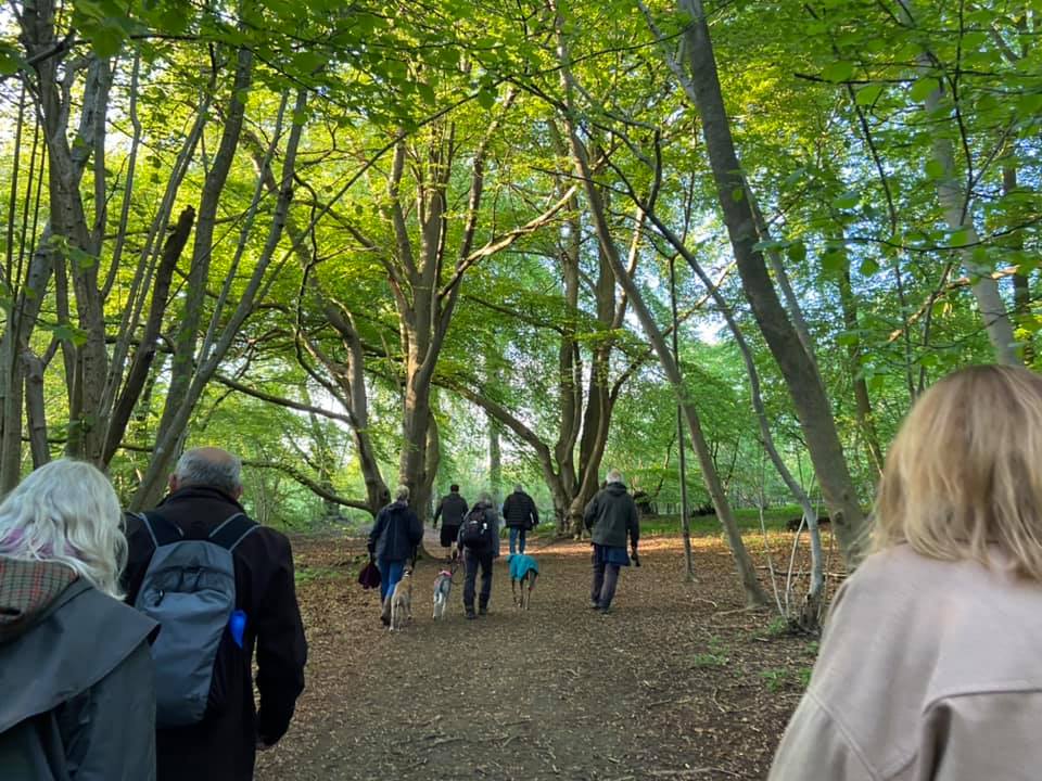
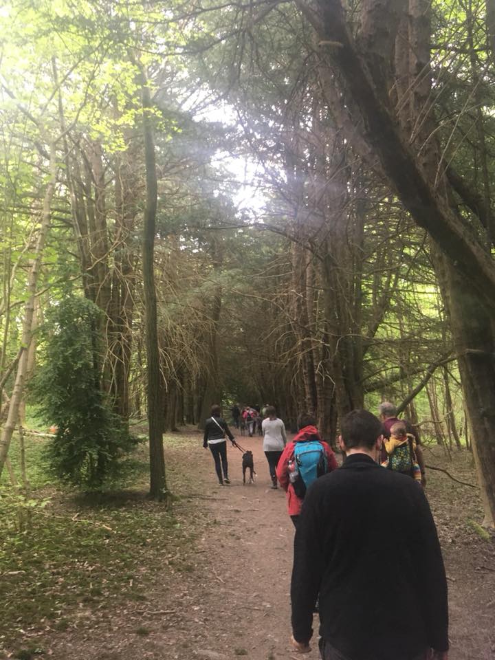
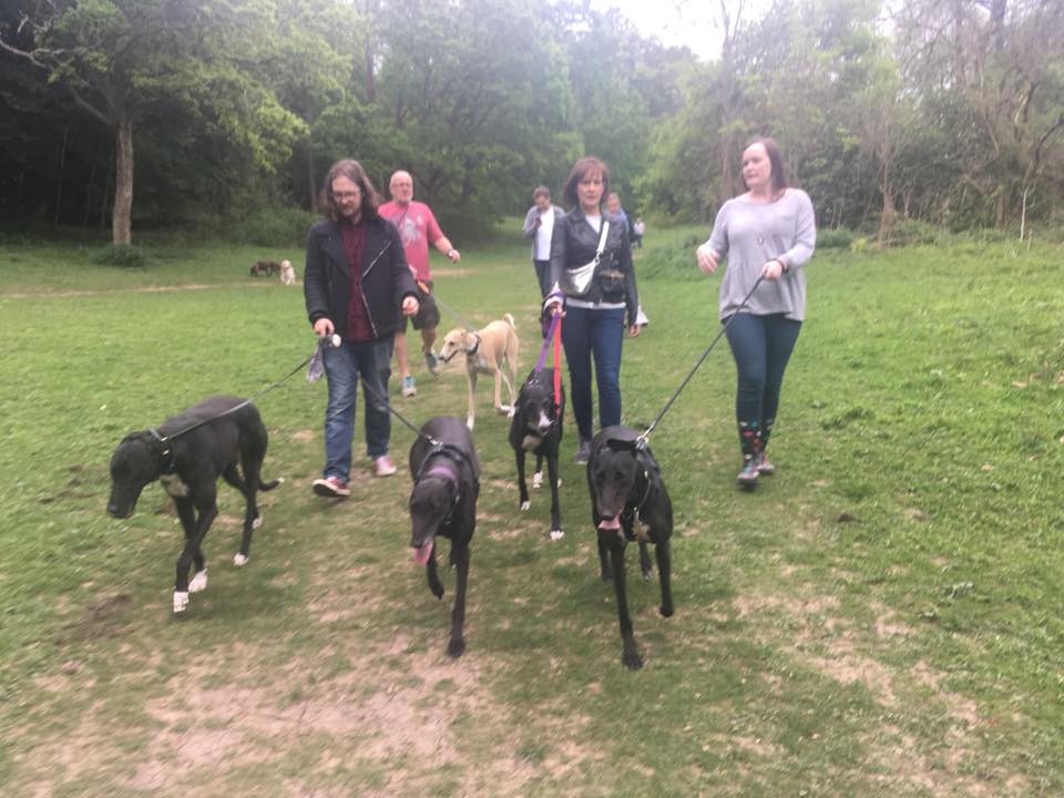
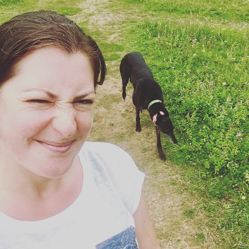
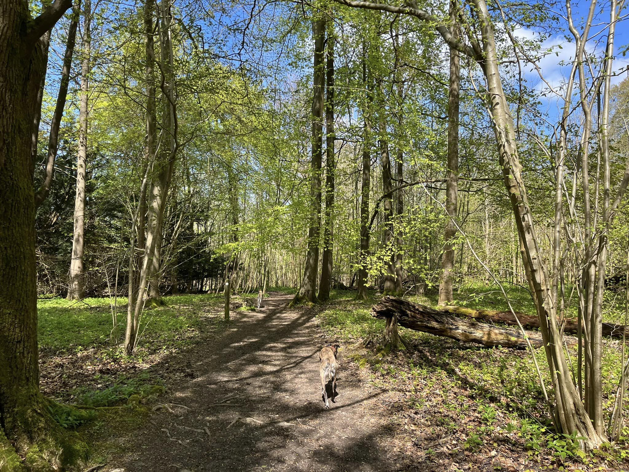
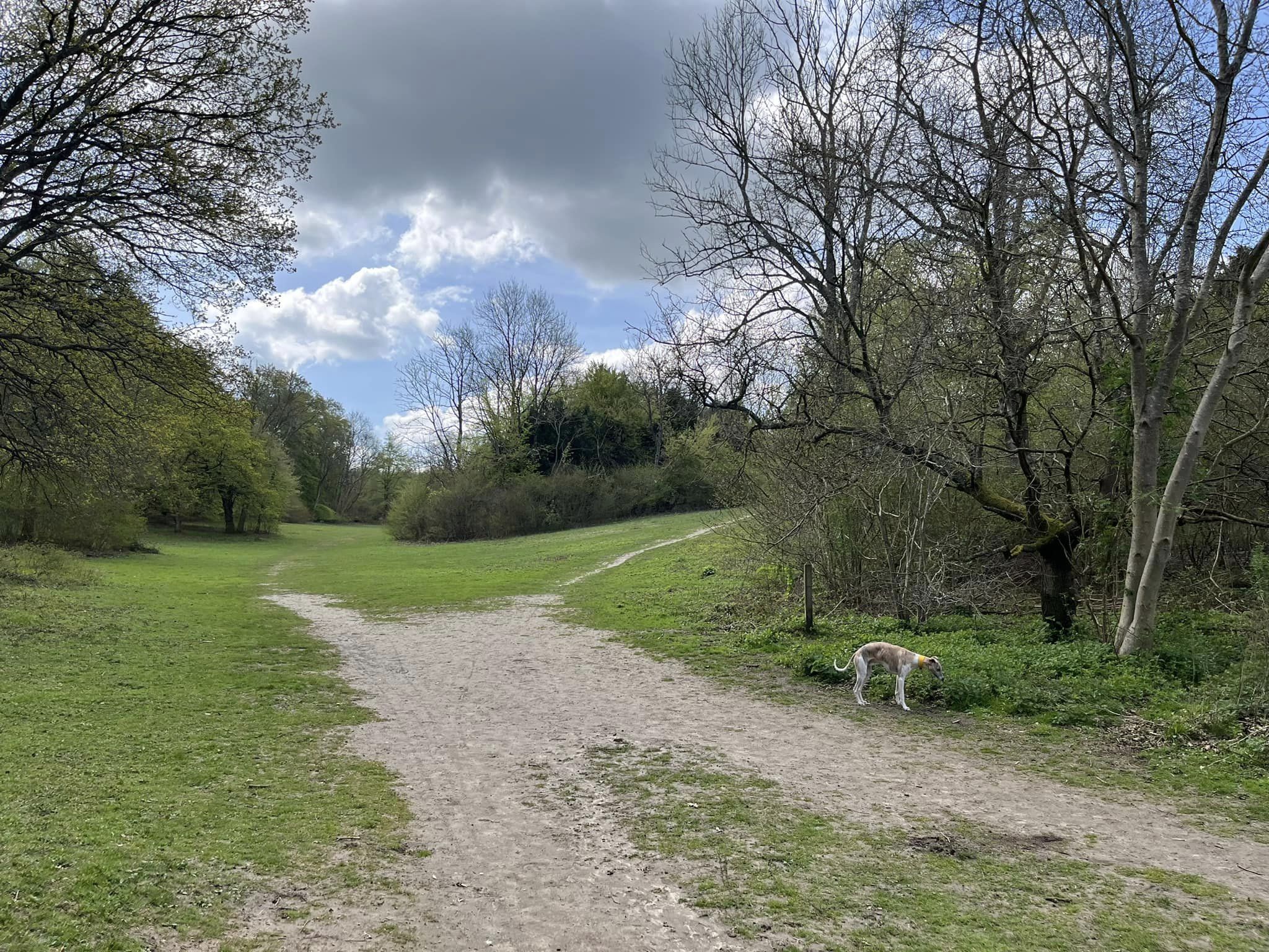
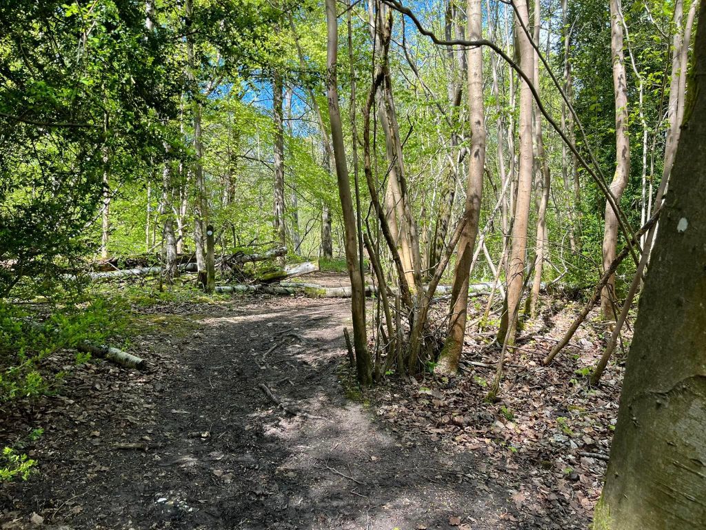
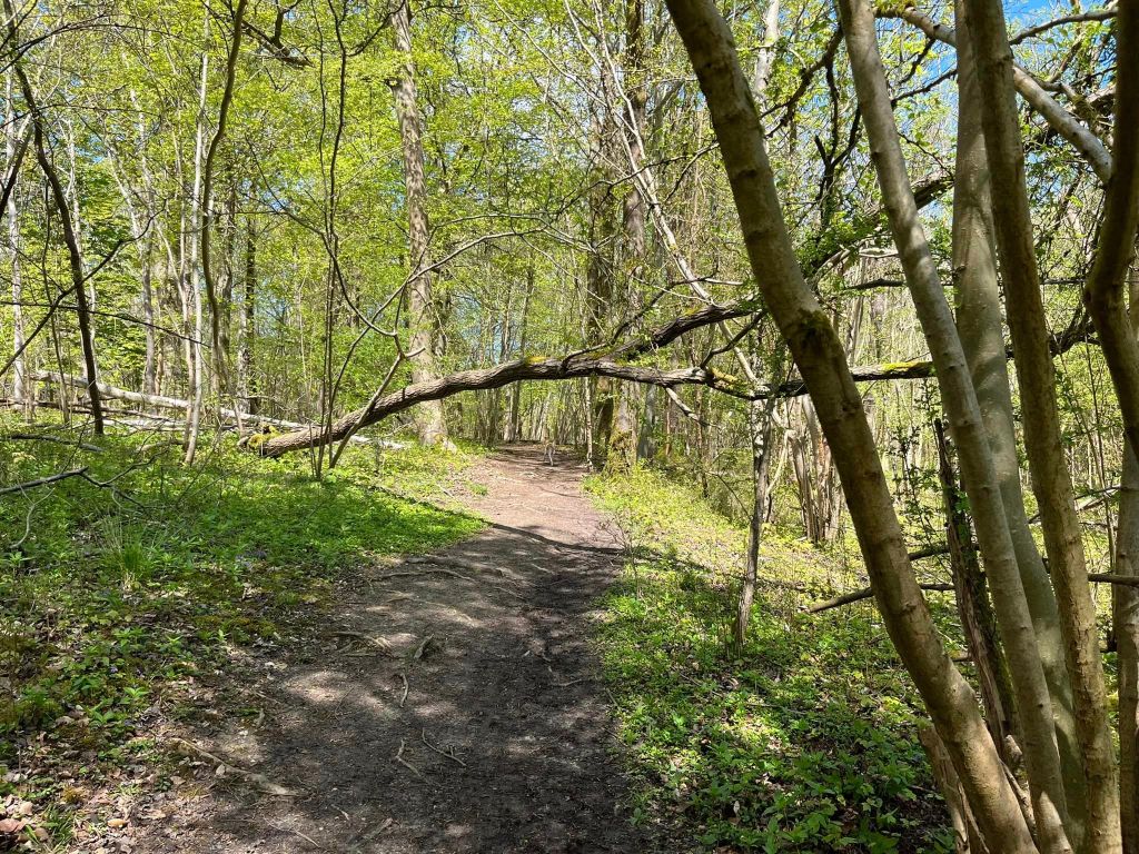
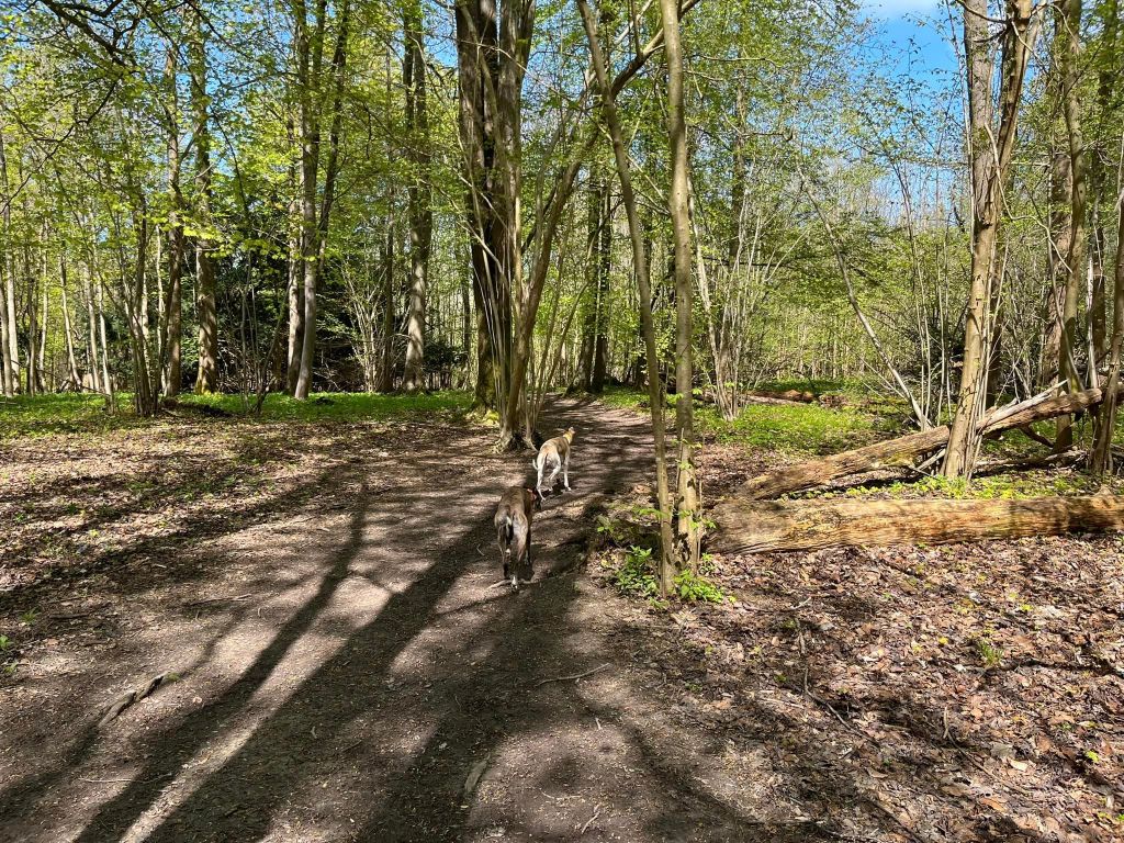
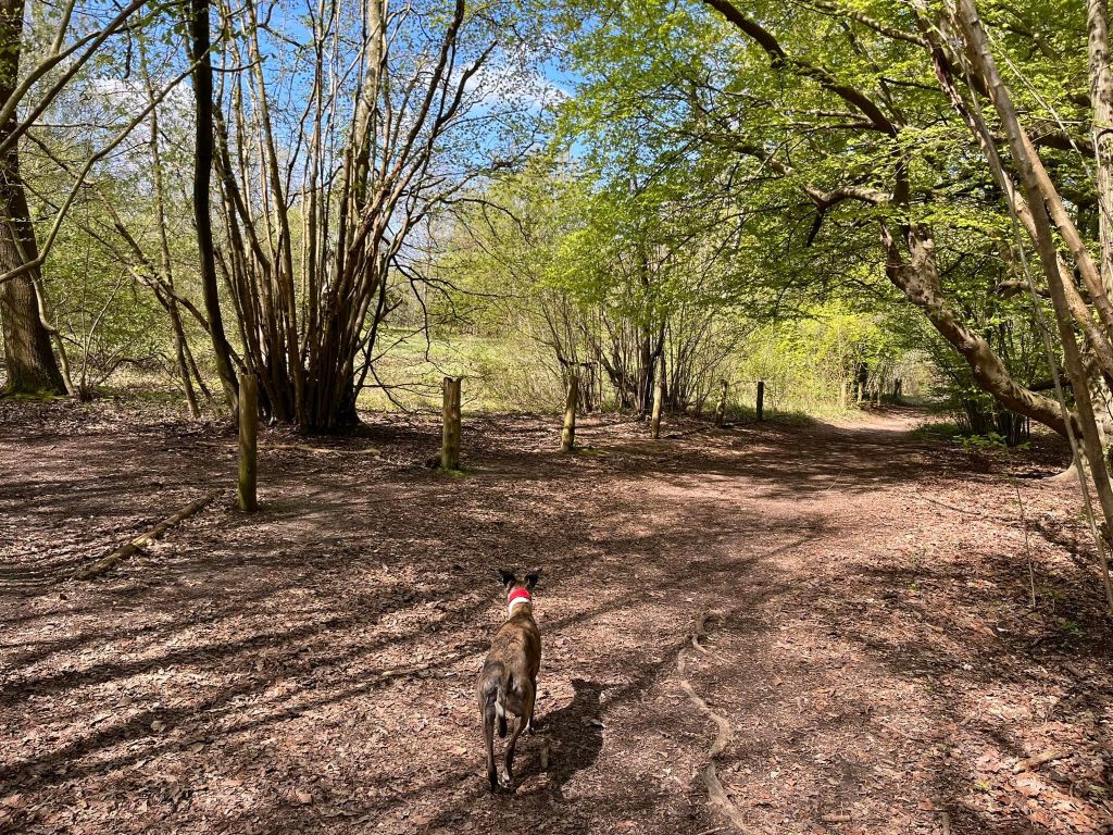
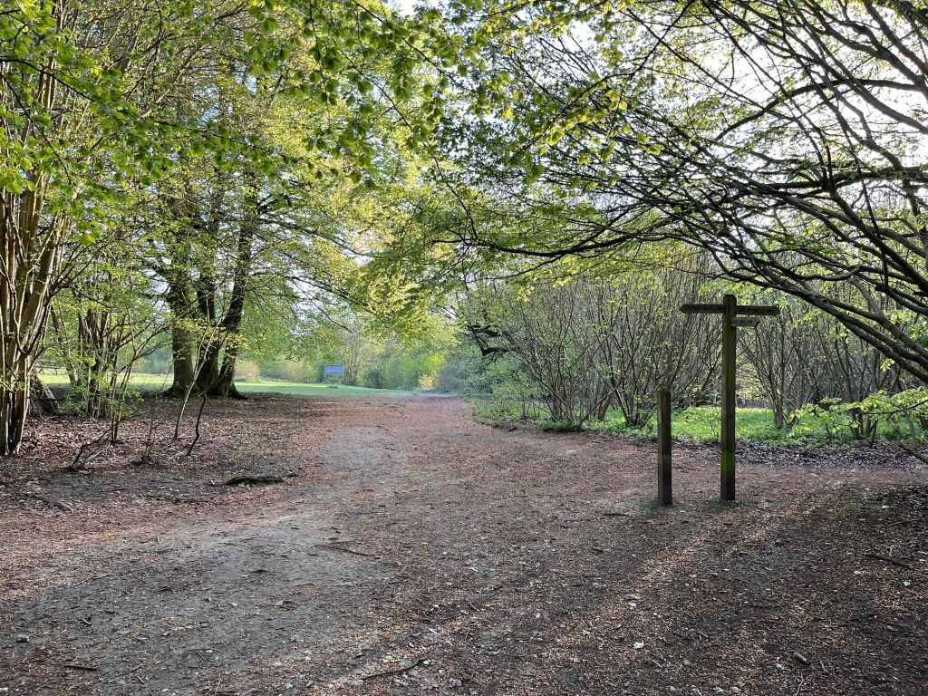
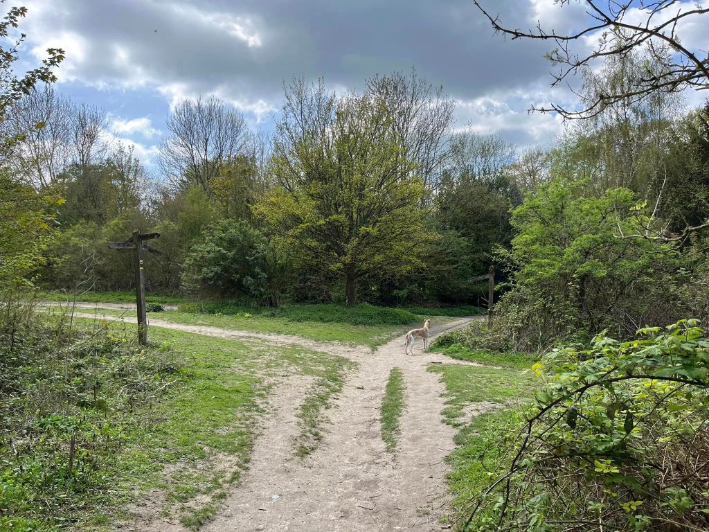
The Gallery: What’s it like here?


Instagram reel showing here
Parking
The best car park is the Green Dene car park at the bottom of the Sheepleas.
GOOGLEMAPS LINK: https://goo.gl/maps/N47qSVnYX3RdrcAZ6
WHAT3WORDS: https://w3w.co/palace.brains.broken
NEAREST POSTCODE: KT24 5TA
Poo bins?
None, please take waste with you
Self-guided walk
Here is a Footpath app route from Green Dene car park. Also on AllTrails. This walk takes in the full variety of landscapes that the Sheepleas has to offer: woodland, meadows, scrub and the viewpoint.
Length: approximately 2.7 miles/4.3 km
Terrain: The paths range from small mud tracks to rocky uneven surfaces. There are some slopes, including one quite steep one up to the viewpoint – the rest aren’t so bad. You’ll want decent footwear all year round as it’s quite rugged, and it can be muddy in the winter. During late April/early May, there are bluebells in the woods right by the car park.
Stiles/kissing gates? No stiles, no kissing gates

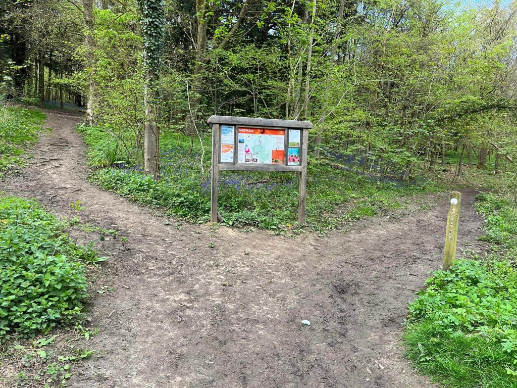
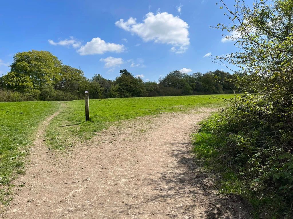
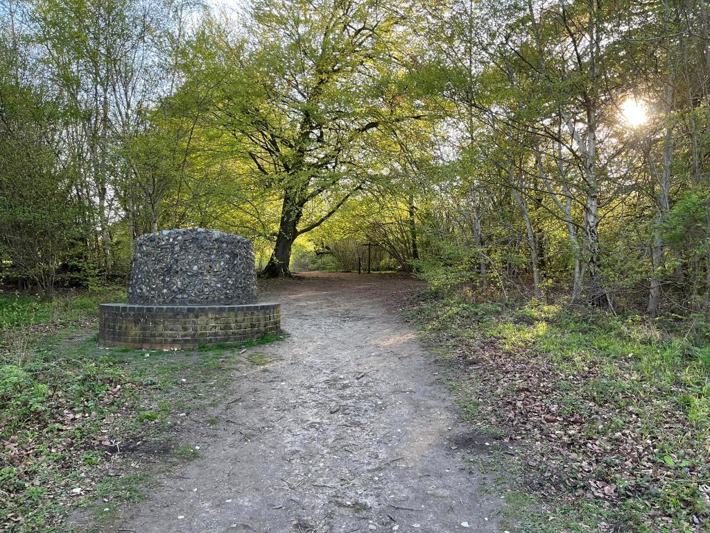
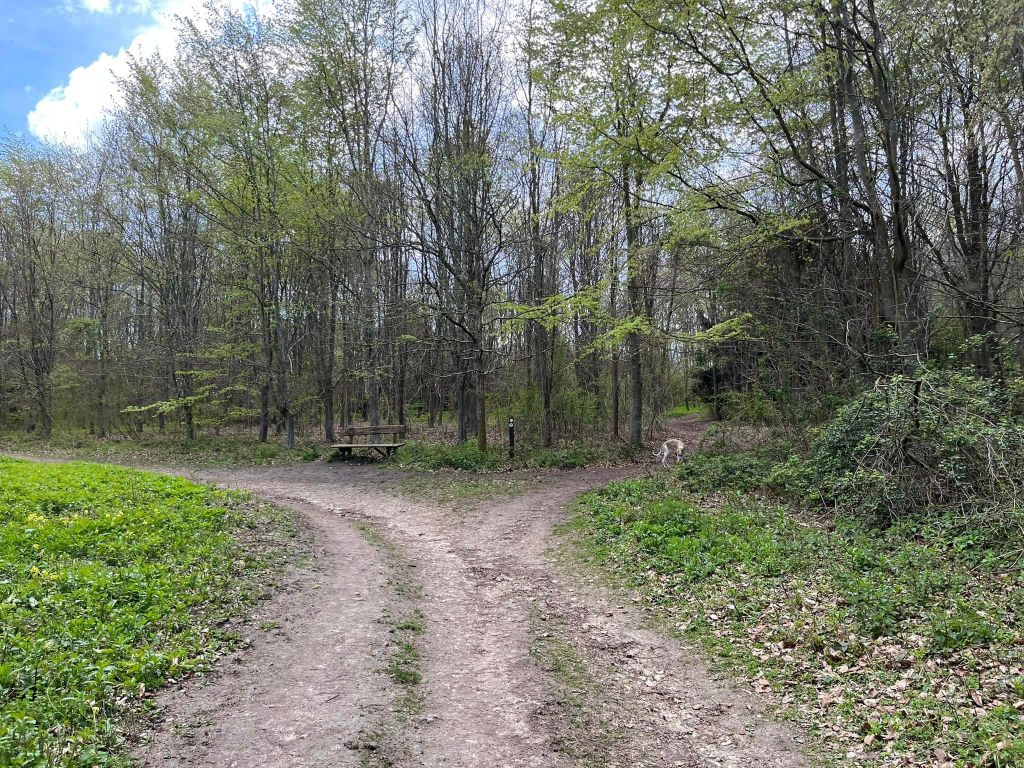
With your back to the road, walk to the rear right-hand corner of the car park to the information board and take the path that heads off to the right from it by the marker post.
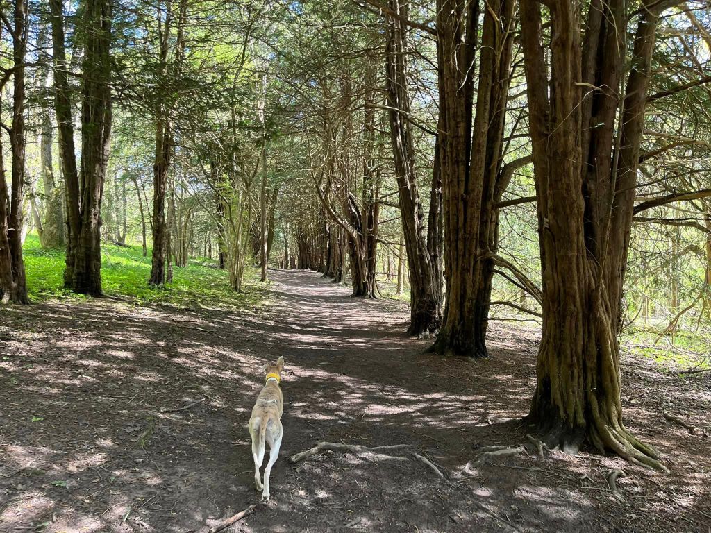
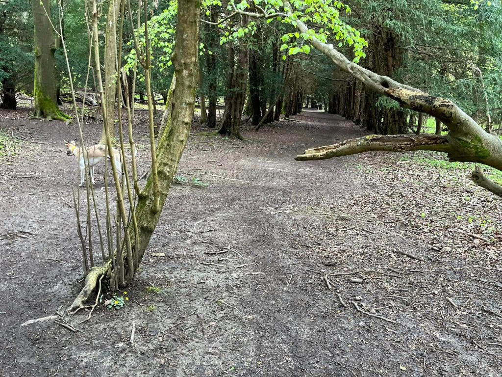
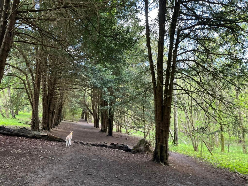
The path runs parallel to the road and then curves to the left and ascends. At the little cross paths, continue straight up the slope. At the next cross paths, turn right by a marker post with a white circle onto a sheltered path lined by Yew trees. This is called Yew Tree Walk.
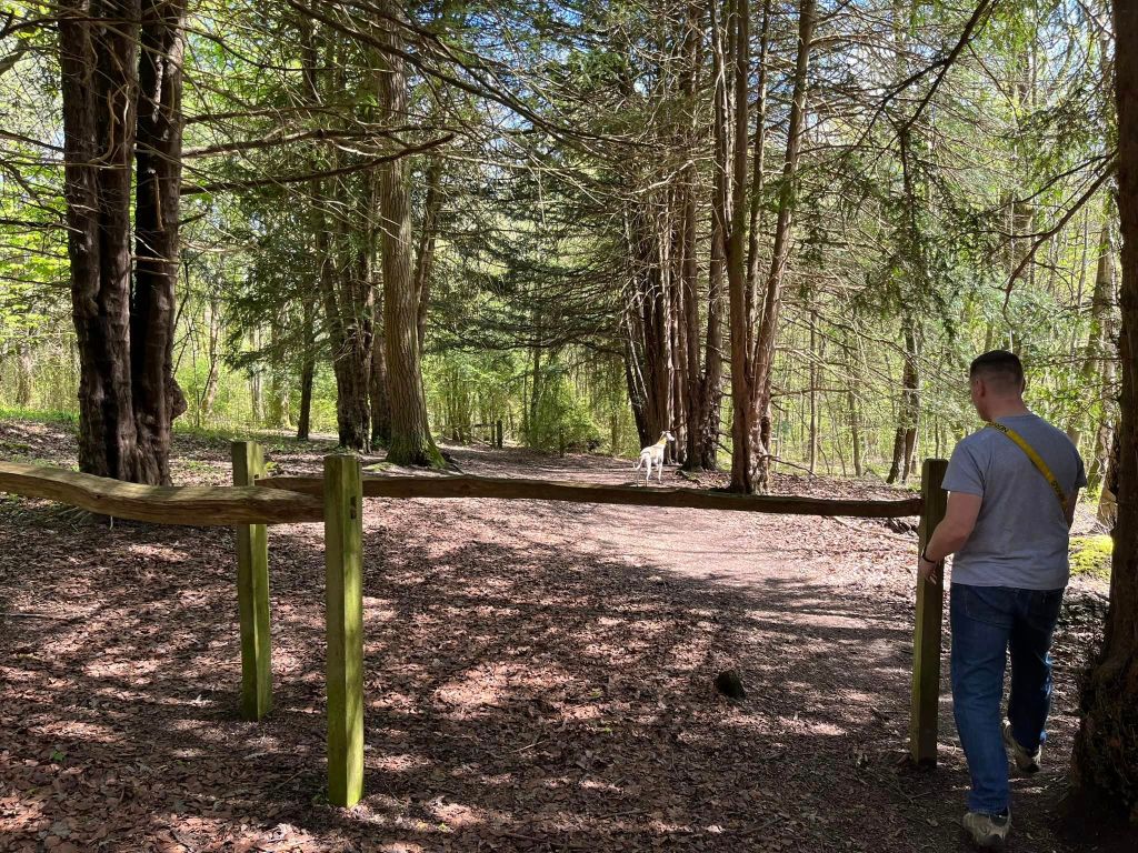
At the end, walk through the slalom/staggered barrier. Ahead of you, there’s a marker post with a white circle. To the left of that, there’s a vehicle barrier and to the left of the barrier, a path heading off diagonally left – take this path.
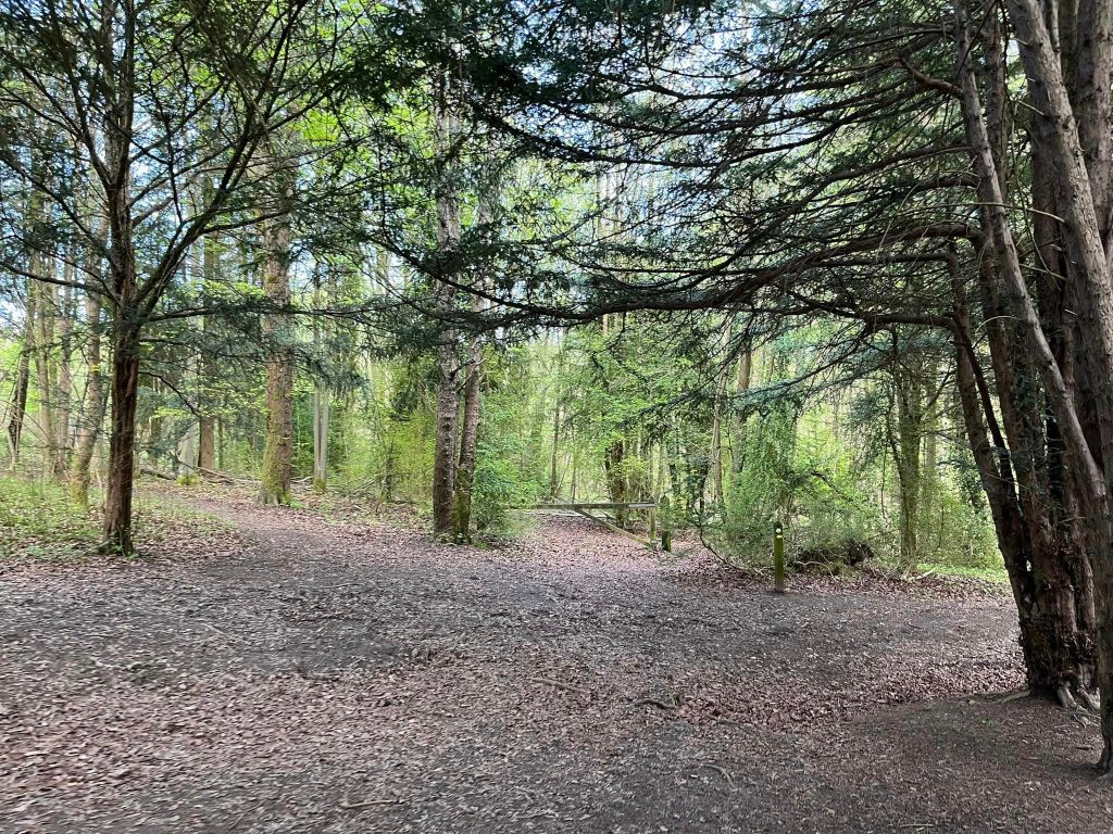
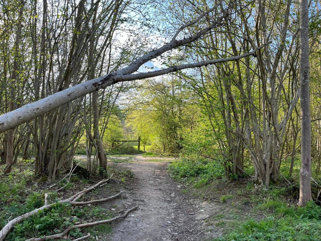
This little path gradually heads up slope and to your right, through the trees, you’ll see a small open grass area. Keep going and just at the end of this open area, you’ll reach a small T junction. Turn left and continue up slope, then ignore a path off to the right and keep up the hill, passing a marker post and going over a fallen silver birch tree, then under another tree that has fallen across the path.
The way flattens out. Continue ahead, ignoring a path jointing from the left. Pass some fallen trees to your right and a marker post on the left.

The path now descends slightly and weaves down to a T junction. Turn left here and continue down slope.
Pass a marker post on the left – ignore the path to the right here and just continue ahead on the main path. After a short way, it’ll bend to the right and pass a series of wooden posts along the left.
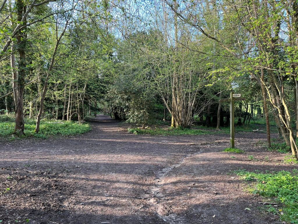
Continue ahead and pass another marker post with a white circle. At the cross paths where there’s a vehicle gate ahead and a five-pronged finger post on the right, turn hard right onto the bridleway. This path descends gently.

Continue straight at a small cross paths. Keep going until you get to a junction of paths with a finger post and continue straight ahead here, passing under the overhanging branches of a fir.
This path weaves through the wood, with an open field to your right. Just stay on the path through the trees. After some way, you’ll notice an open areas through the trees to your left too. Again, keep on going.
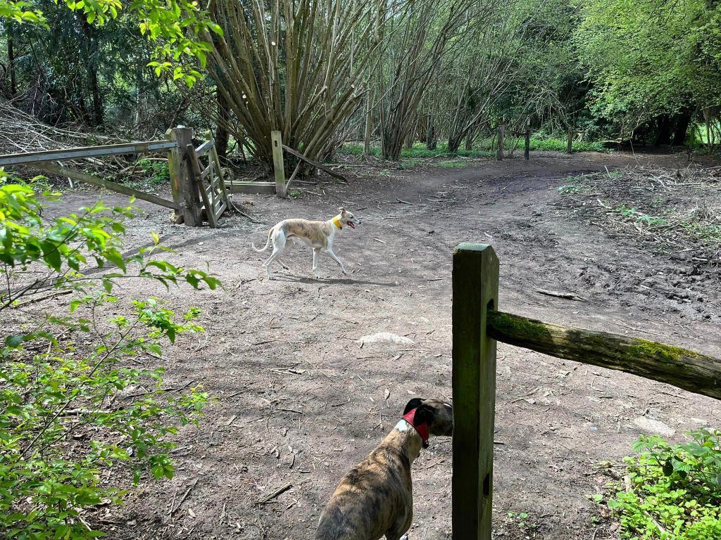
The path will bend to the left as it goes through an area of coppiced trees. Keep going and you’ll come down to a half barrier just before a junction. Turn left and pass to the side of a vehicle gate and a short stretch of new fencing (not pictured in these older photos).

Immediately there’s a fork, take the path to the left into Coronation Meadow; where there’s a post with a plaque. Take the right hand fork at the coronation post and walk along the right-hand edge of the meadow.
At the end of the meadow, by a bench, the path heads back into a patch of woodland and then emerges out at another meadow (with a bench to the right this time next to a marker post). Continue straight ahead on the main path through the meadow.

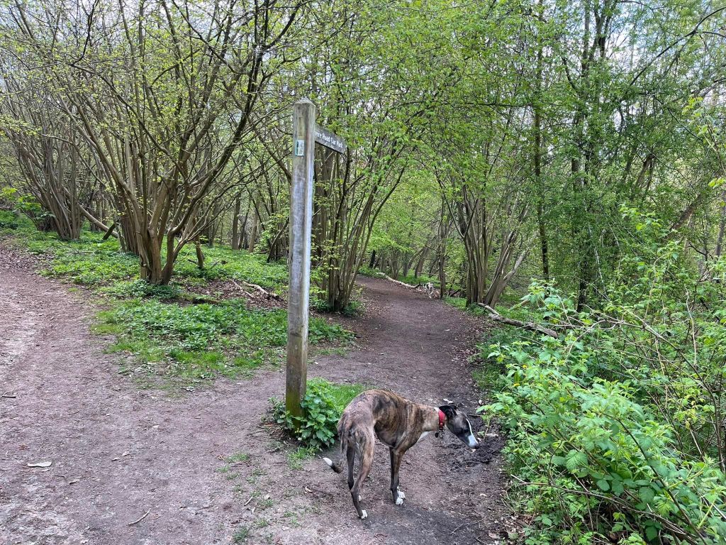
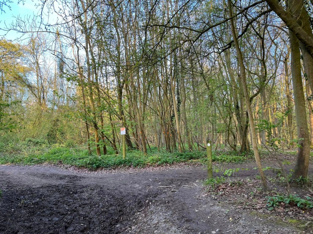
It goes back into woodland at a bench dedicated to Penny Orpwood. Bear slightly right here and pass to the side of a barrier and a marker post with an orange circle for Horsley Jubilee trail, then at the next junction, bear right.
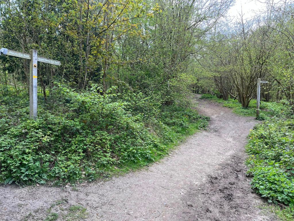
After a few steps, you’ll come to a cross paths with a finger post pointing backwards to St Mary’s car park and forward to Green Dene car park. Continue straight. Almost immediately, there’s another finger post pointing to Shere Road car park. Bear right here and take the path indicates by this second finger post.
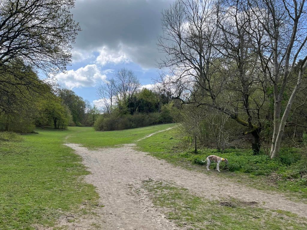
Keep ahead and you’ll come down to a junction of paths at the bottom of a valley. There’s a marker post in the foliage to the right of this open area and, just after this post, there’s a path off diagonally right heading up the slope – take this path (sorry! It’s the worst slope on this walk and takes you up to the viewpoint.)
At the viewpoint, stop for a breather and enjoy the view – on a clear day you can see the skyscrapers of London in the distance.


When you’re done, walk away from the viewpoint and continue straight ahead where there is a finger post to the right of the path. Pass the picnic area on the left and another information board about Sheepleas. Head away from the picnic area and ignore a tiny path on the right.
You’ll come to a junction of paths with two finger posts, one to the left and one to the right. Turn left here in the direction indicated by the finger post ahead on the right as the woodland trail.
Stay on this main path as it ascends, passing a small finger post pointing towards Green Dene car park.
The path bends round to the left at a bench and a marker post – go with it, ignoring the path to the right of the marker post.
After a little way, you’ll reach a junction with a finger post ahead of you and a marker post to the right. Turn right.
As you walk along this path, to your right there are the paddocks and a few farm buildings. To the left, quite a lot of the trees that were here have been felled due to Ash Die Back disease weakening them and making them unsafe. The path you’re looking for to the left used to be pretty clear, but (certainly at the time of updating this post – July 2024) it’s not as obvious as it was. Around the point where there is a large metal barn building over to the right, you should see a small/narrow path winding off to the left towards the woods. Follow this to the trees and down a tiny dip, under a tree branch that stretches across the path and into the woods. It’ll wind down to a small T-junction.
When you get to the T junction, turn left. Ahead of you, there’s probably a mess of fallen tree trunks and branches – unless it’s been cleared, which I doubt as it’s been here years. So, if it’s still blocked, there’s a little path to the right a bit before the blockage. Go down this teeny tiny path until you get to the first cross paths. Turn left and it’ll head slightly uphill. When you get to the T junction at the top of this little path, turn right.
You’re back at Yew Tree Walk, but at the “start” of it (where at the beginning of the walk, you joined this path halfway along.) Walk along between the yew trees and cross over a fallen one (or go around it to the right.)
At the cross paths with the marker post just after the fallen tree, turn right off Yew Tree walk (this is where you joined the path at the beginning). Take this little path downslope and retrace your steps to the car park: go straight over at the small cross paths and this final path bends to the right and then it’s pretty much straight – aside from a few wiggles – back to the cars.
