
About
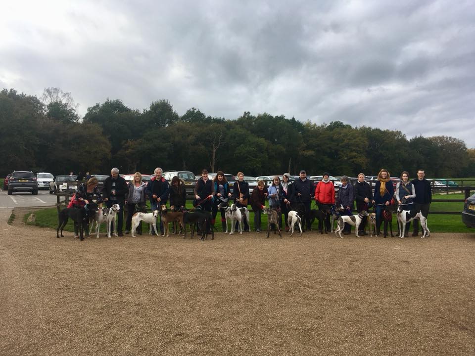
Gallery
Parking
Poo bins?
Self-guided walk
About
Horsell Common boasts a wide array of landscapes, including heathland, woodland and meadows, creating rich and diverse habitats for hundreds of species of animals, insects, birds and plants. Part of the site is an SSSI and part of the Thames Basin Heaths Special Protection Area.
Horsell Common was first established as common land in 1805, saved by the landowner, the Earl of Onslow. Today, it is managed by the Horsell Common Preservation Society.
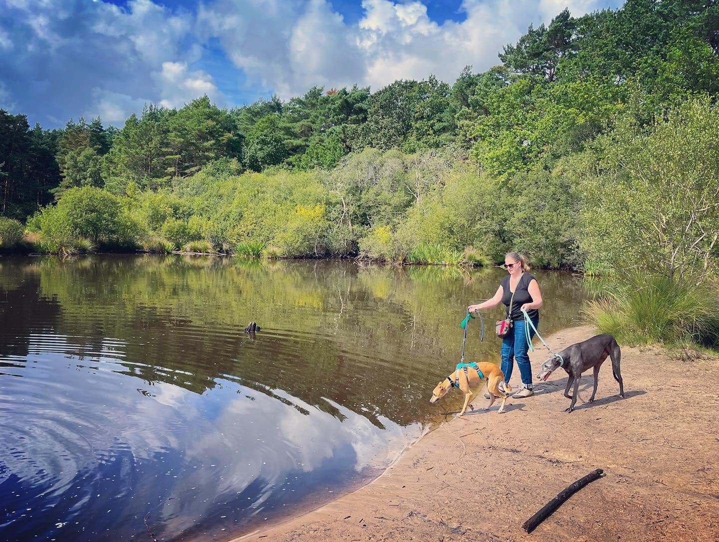
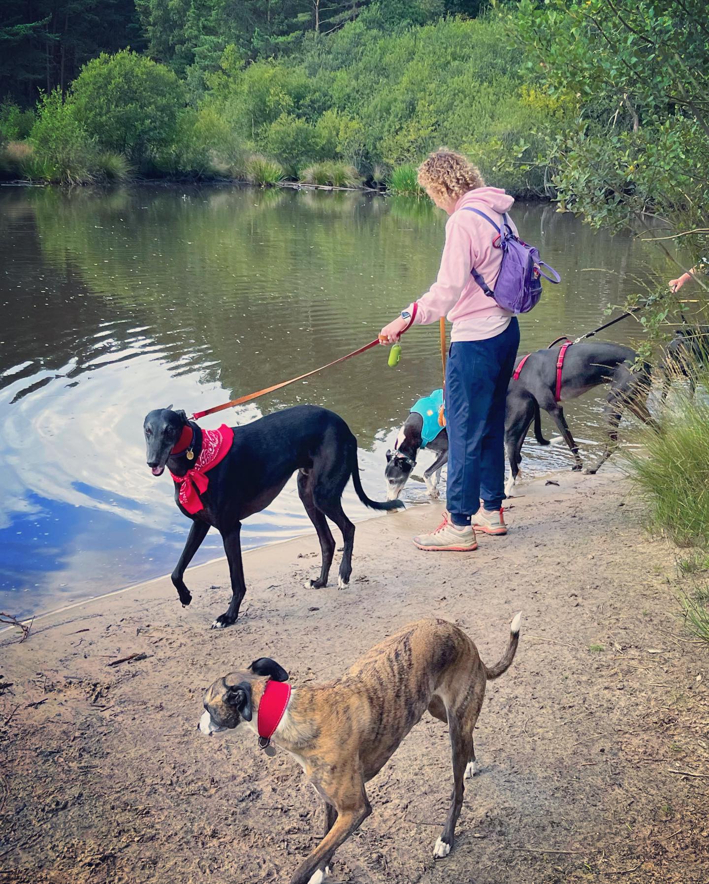
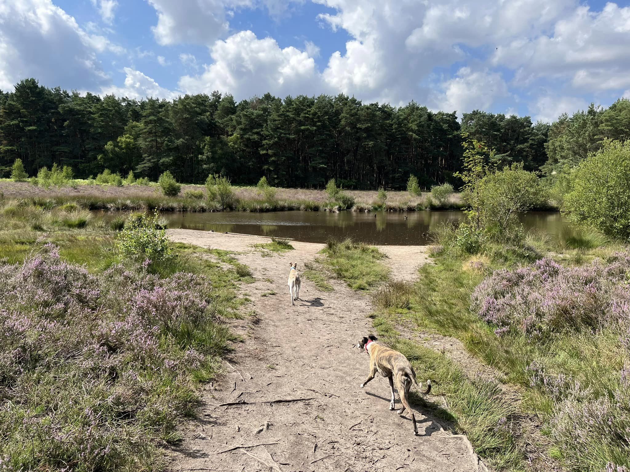
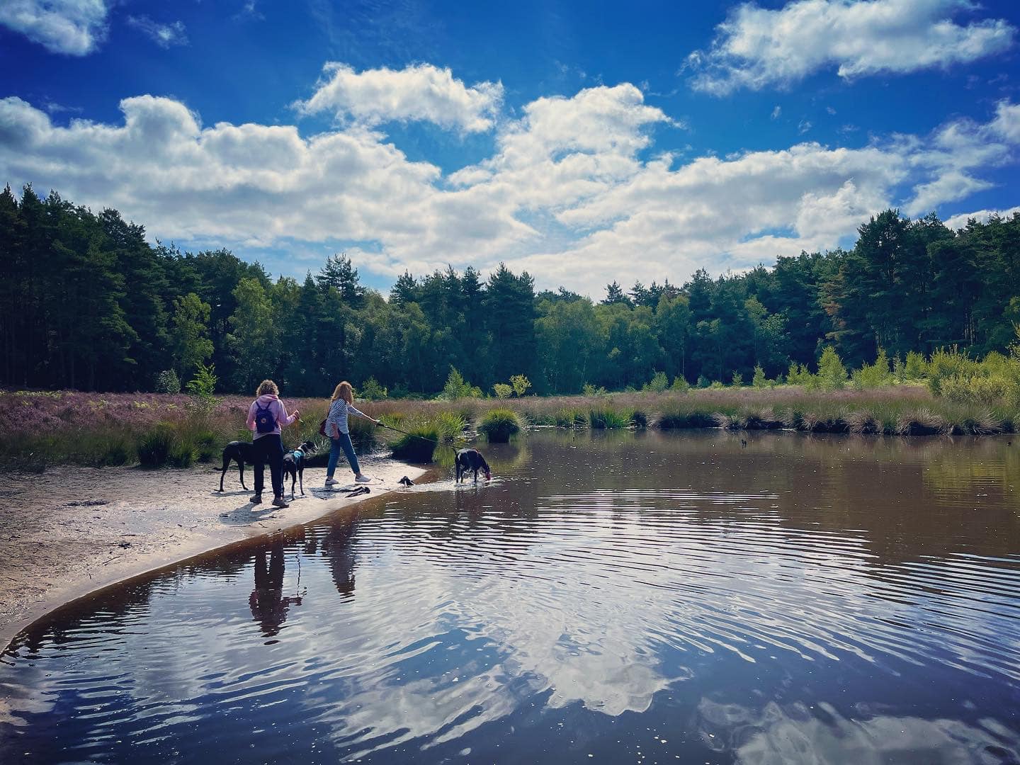
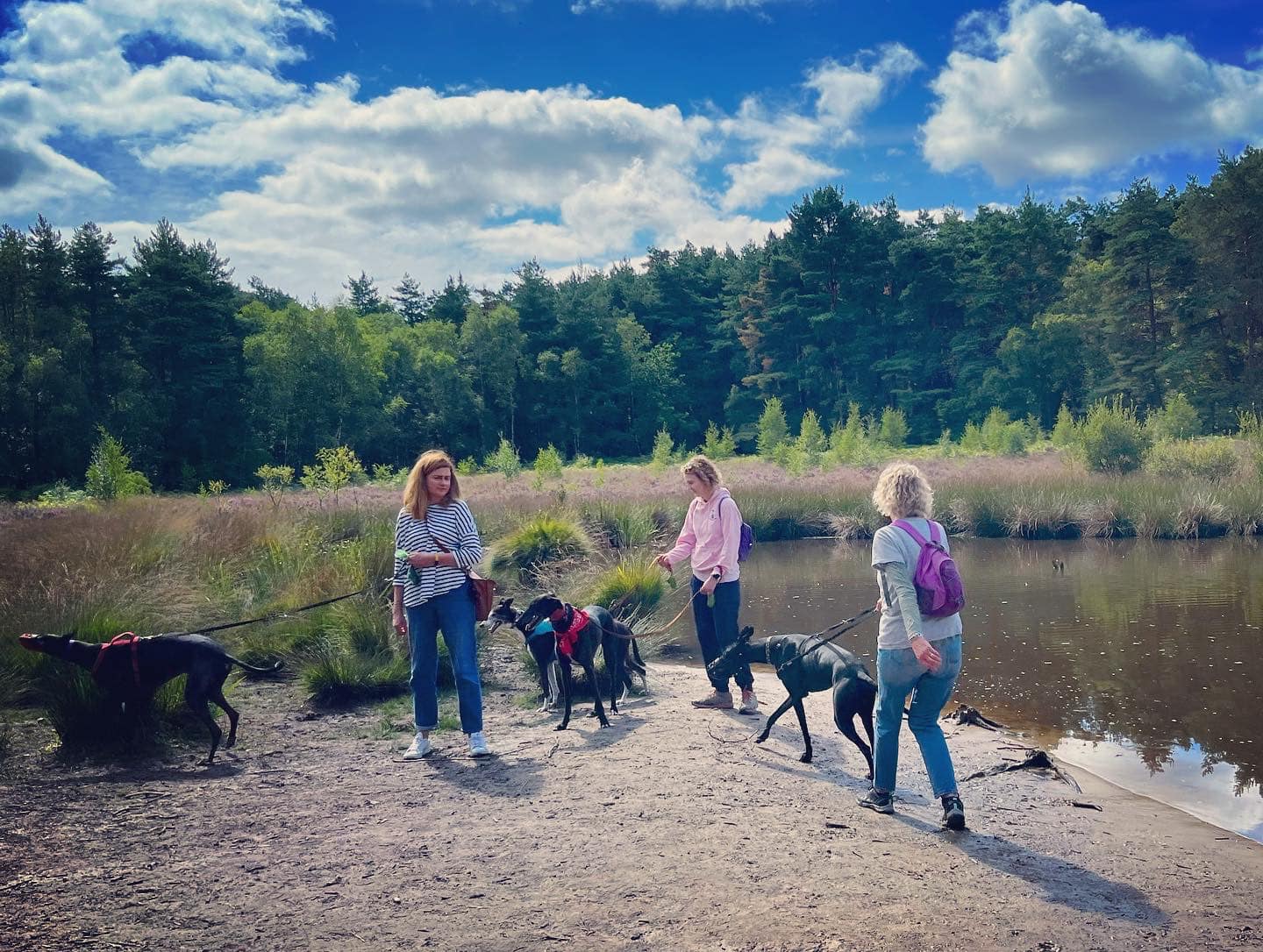
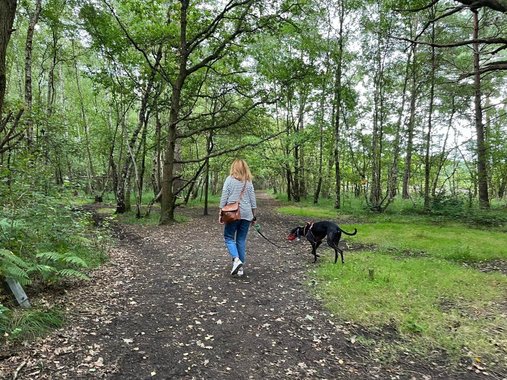
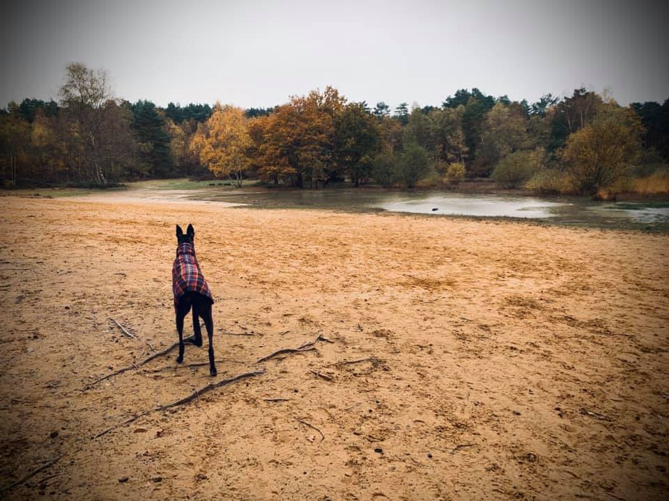
“The Sandpit” is a favourite destination on Horsell Common. It has open sandy banks and a seasonal pond overlooked by tall pine trees. This is the site where the Martians landed in the science fiction novel “The War of the Worlds” by H. G. Wells, who lived in Woking in 1895 and 1896.
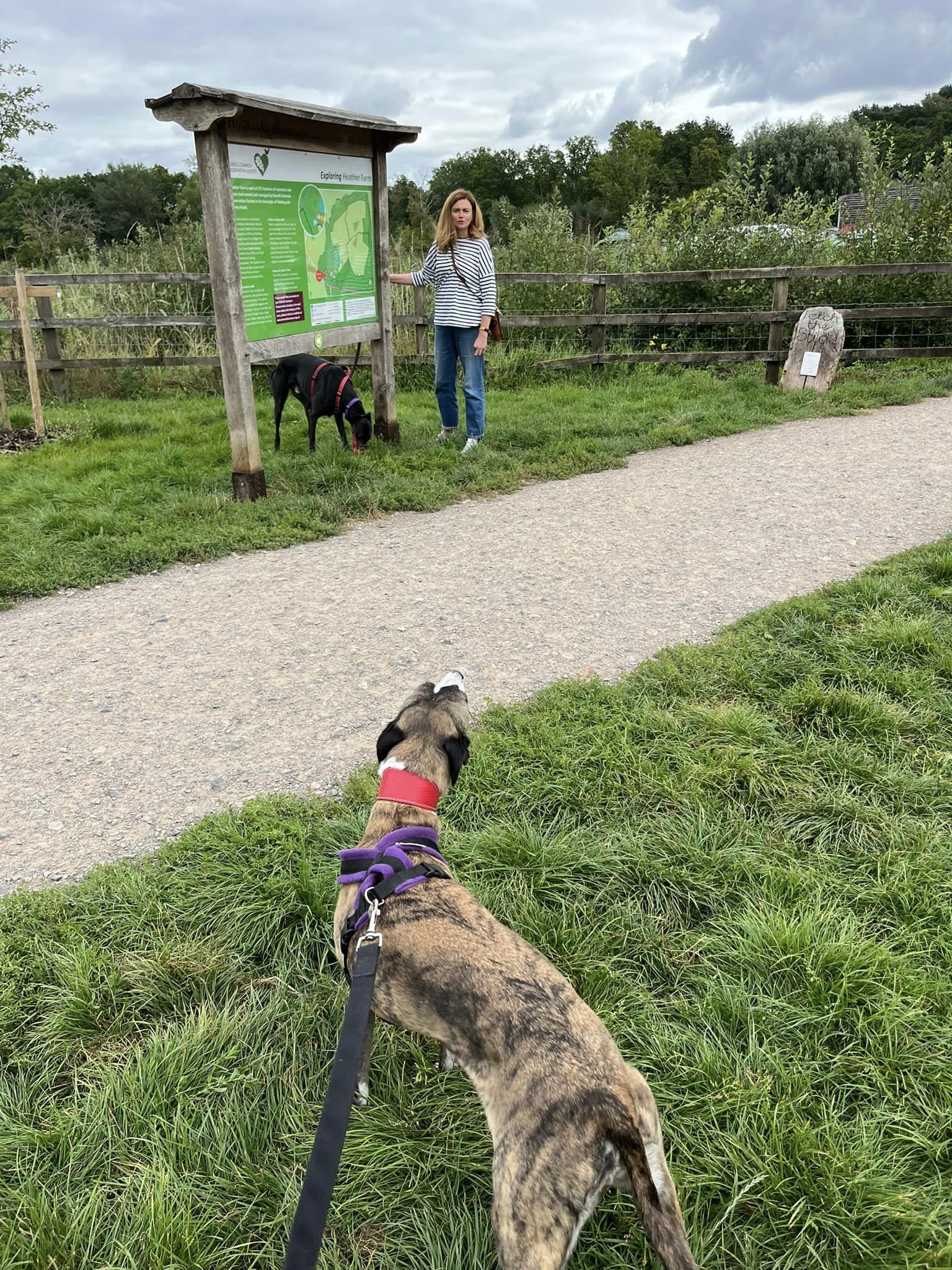
Heather Farm comprises the Mimbridge and Bourne meadows area and a (dog-free) wetlands. It has a large car park and there is a cafe serving food and drinks.
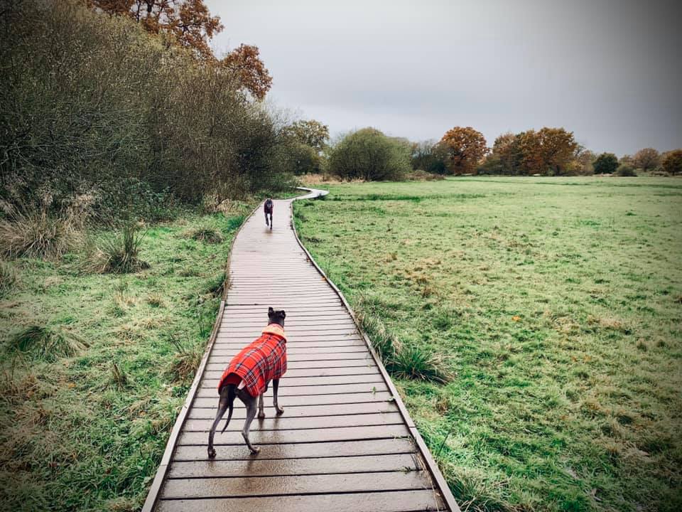
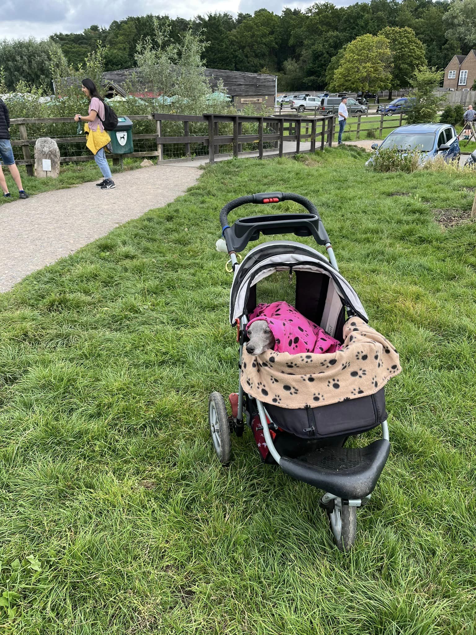
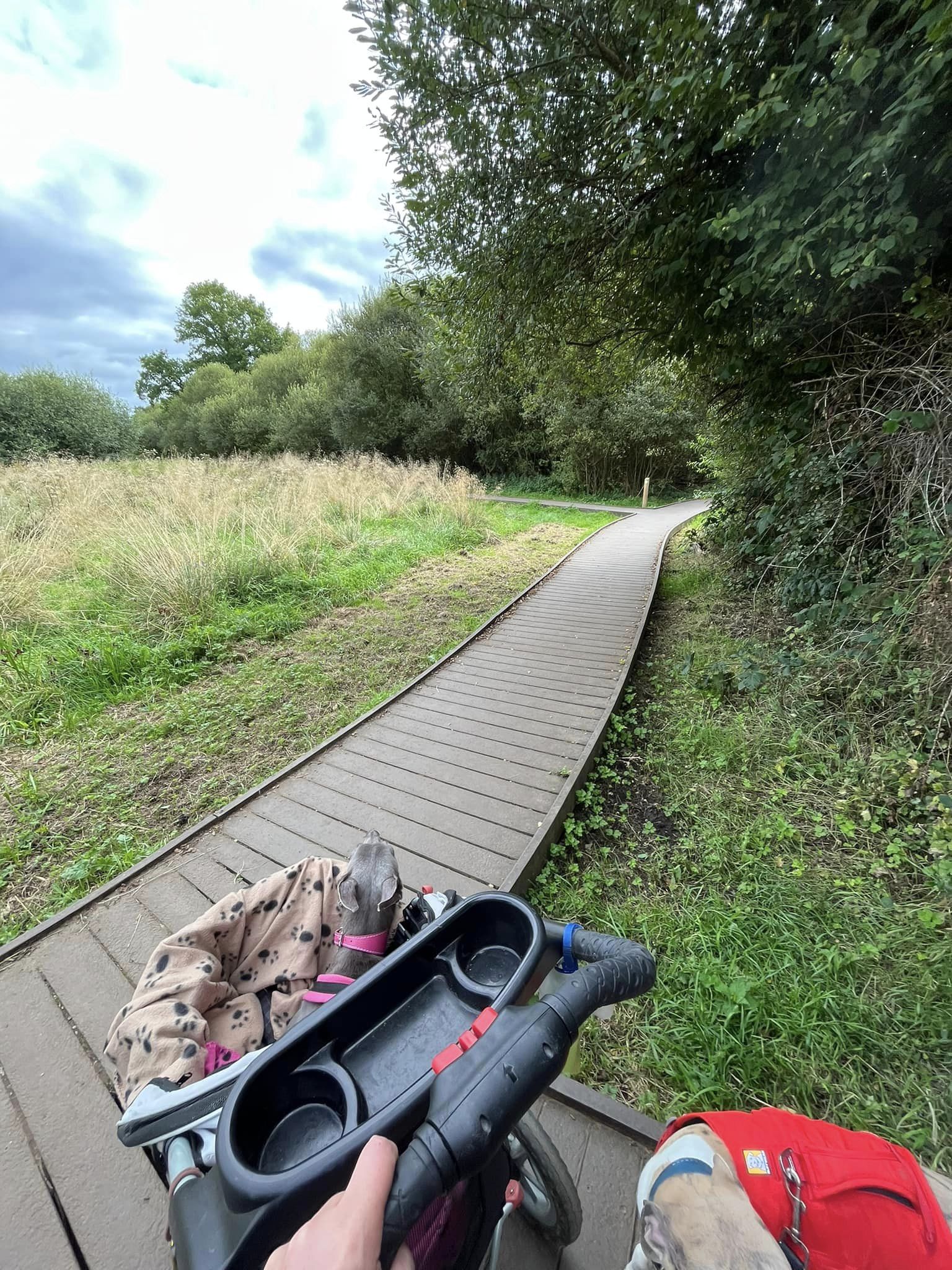
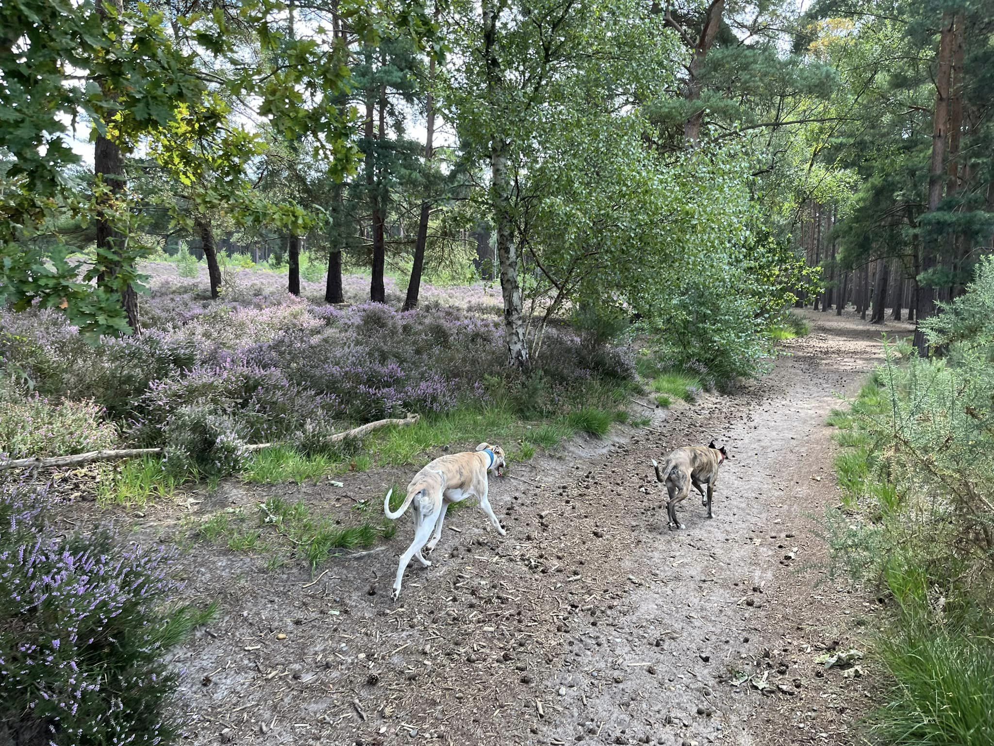
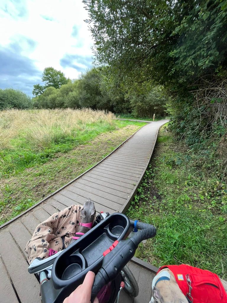
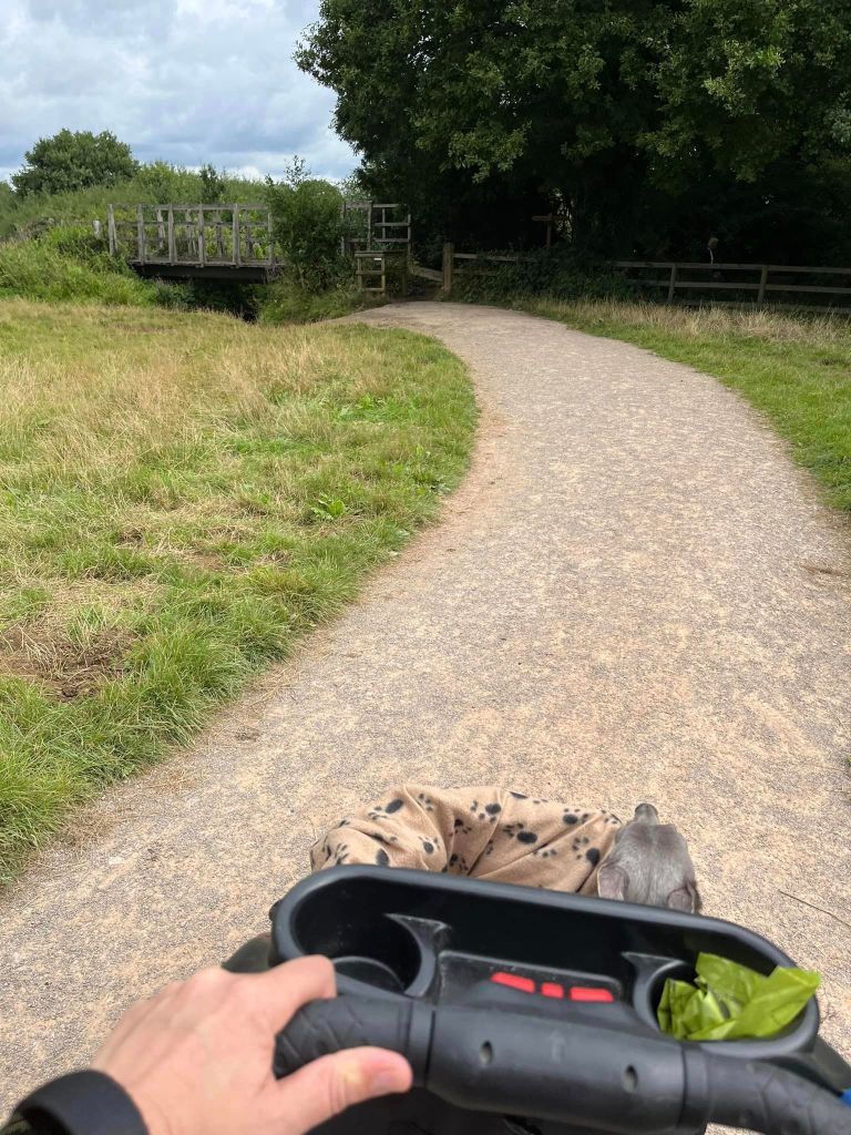
There are no ground nesting birds in the meadows so dogs do not have to be on the lead if they have decent recall. The meadows and fields are traversed by surfaced footpaths and board walks, making it suitable for buggies (I have done the route on this page with Mia in her Innopet Comfort stroller). In summer there is an abundance of meadow flowers. The River Bourne runs through the site and you can often see small aircraft from nearby Fairoaks Airport in the sky.
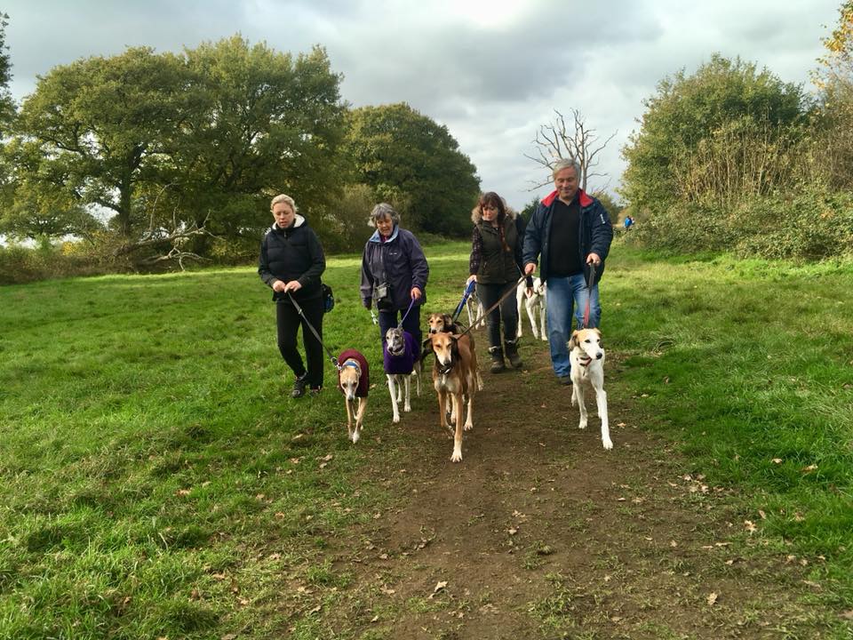
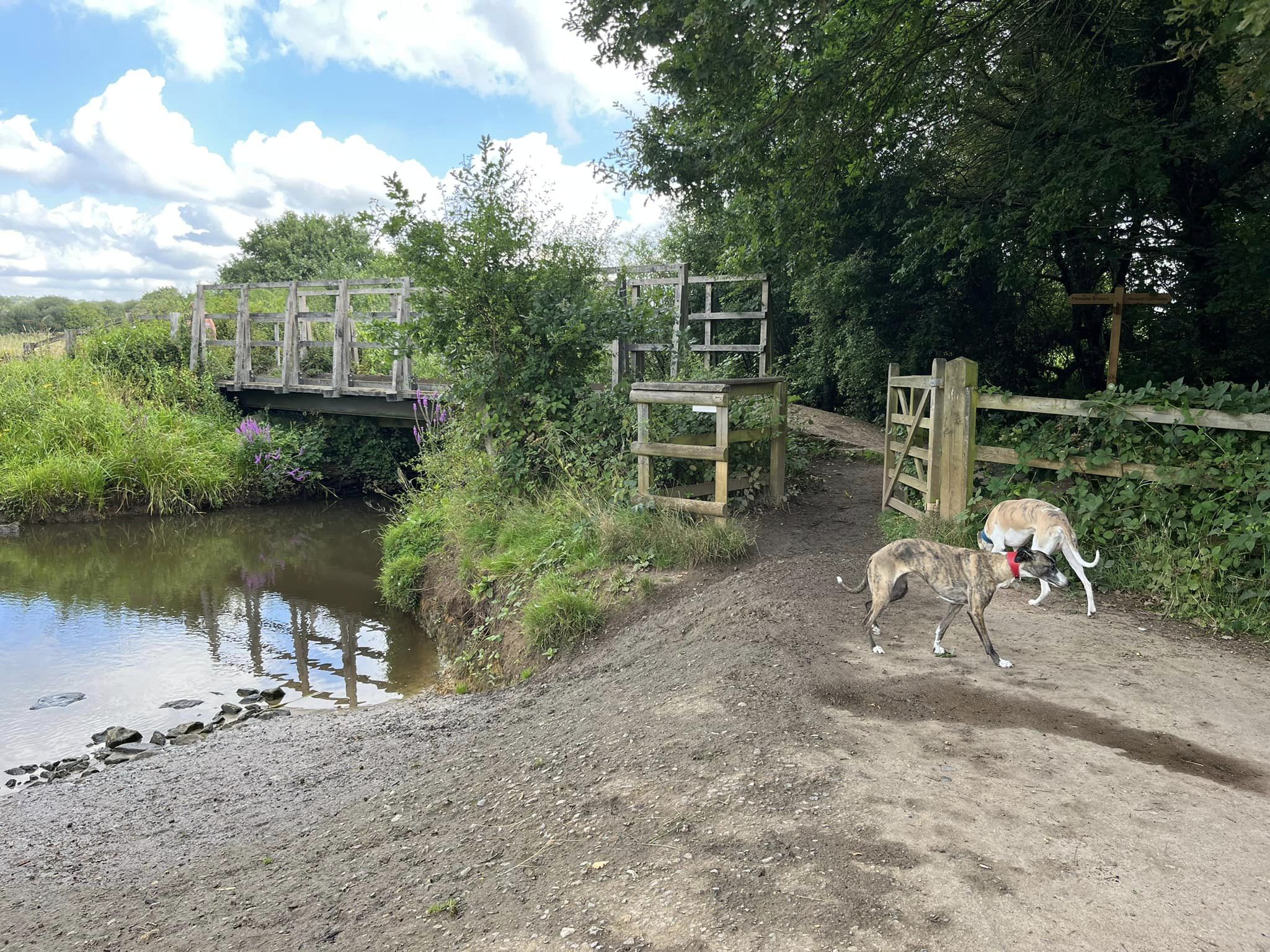
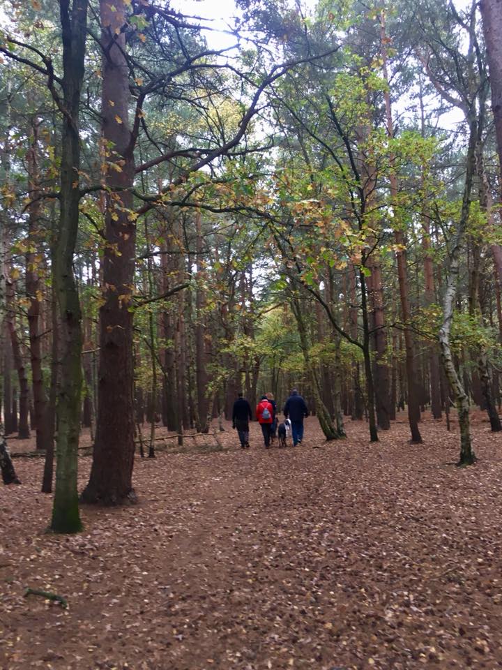
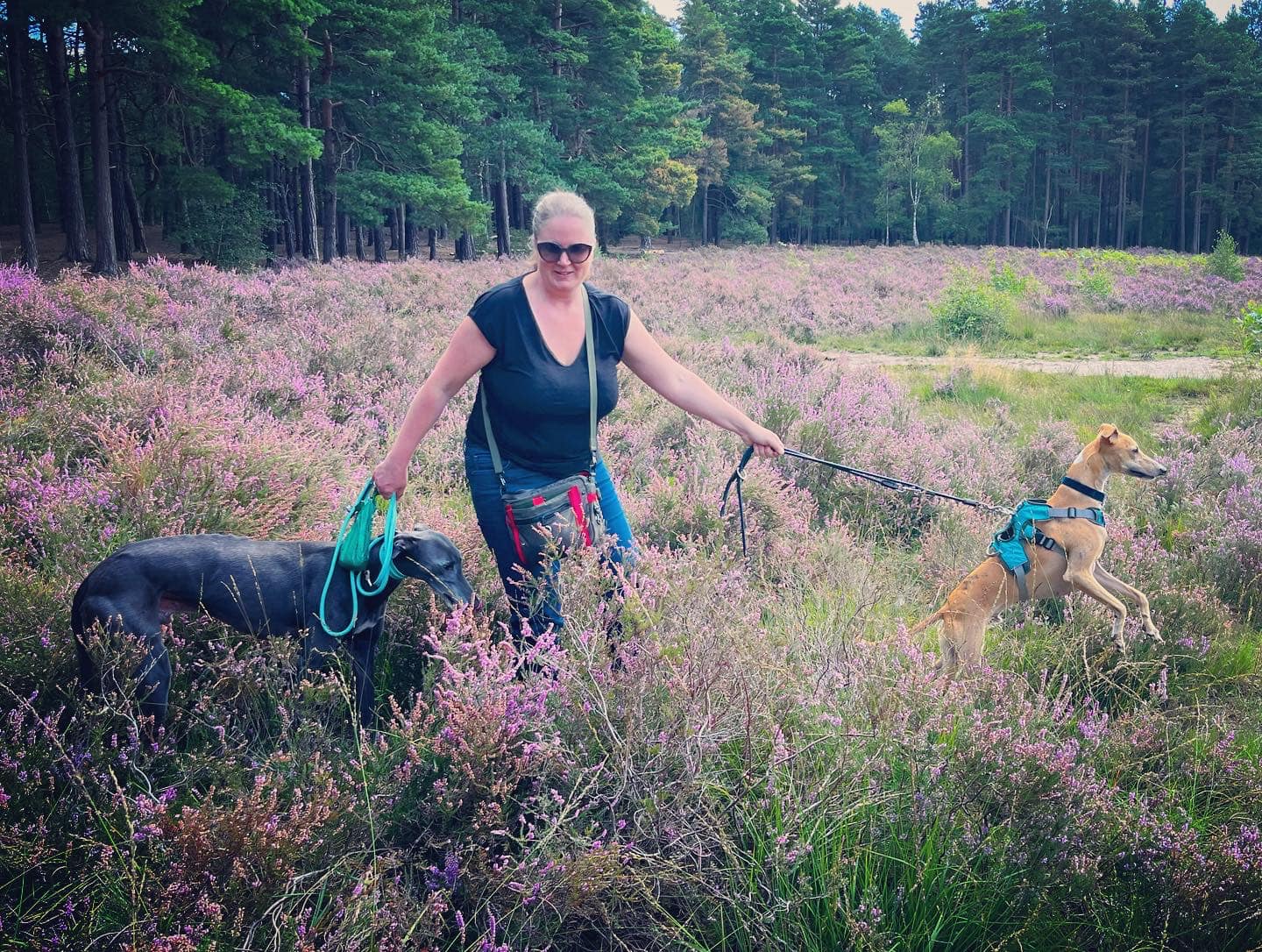
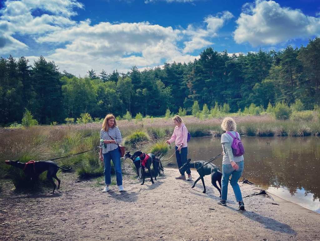
The Gallery: What’s it like here?


Parking
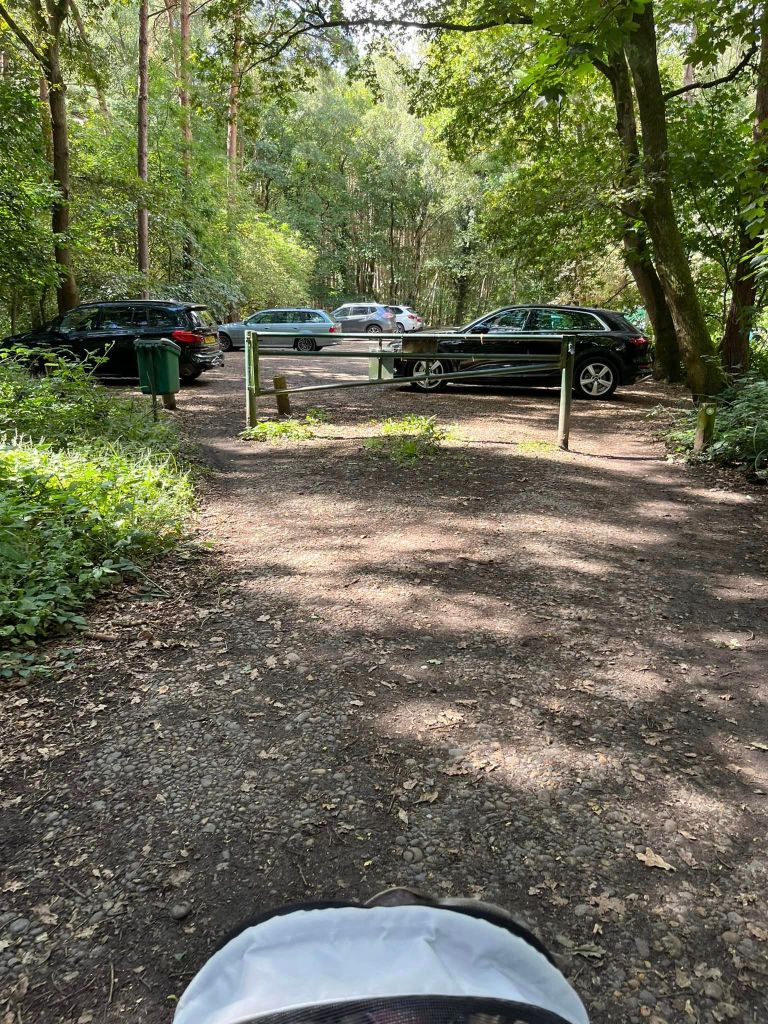
There is a large, free car park at Heather Farm, sign-posted off the Chobham Road (A3046) between Chobham and Woking. It can get busy on weekends.
GOOGLEMAPS LINK: https://goo.gl/maps/bs7rWLhBa2yidYeU7
WHAT3WORDS: https://w3w.co/asserts.pads.hoot
NEAREST POSTCODE: GU21 4XY
Poo bins?
At the car park and also plentiful in the wetlands site and meadows at Heather Farm. There are also bins at Horsell Common’s car parks.
Self-guided walk
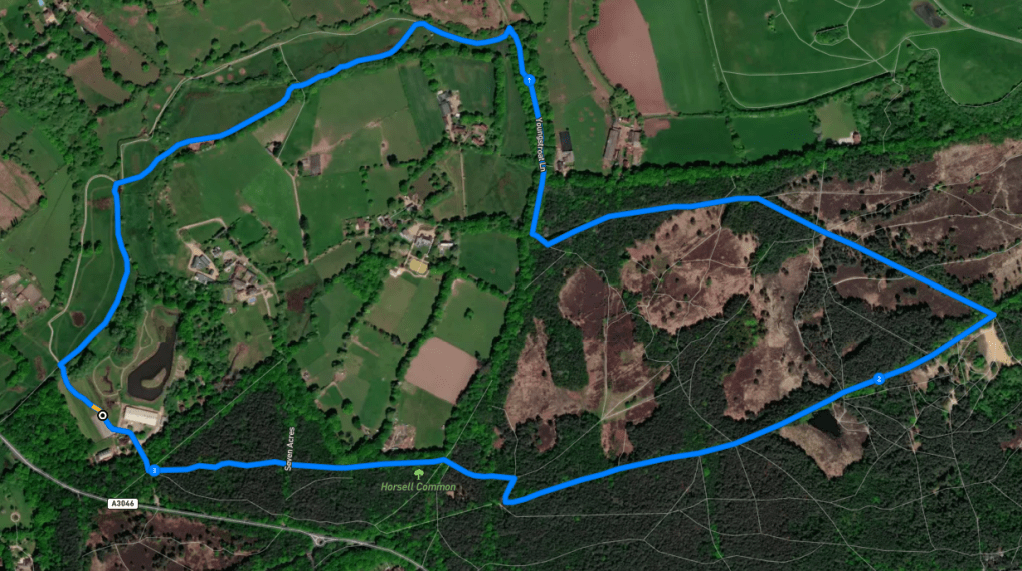
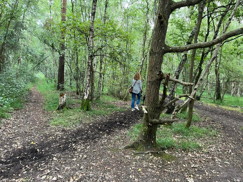
Here is a Footpath app route from Heather Farm. Also on AllTrails. It takes you through the Mimbridge meadows and Bourne Fields and then out of the Heather Farm site and onto Horsell Common proper. Here, the walk passes the sand pit (with pond during wetter times of year) and lake before following sheltered woodland paths back to the car park.
Length: approximately 3.1 miles/4.99km
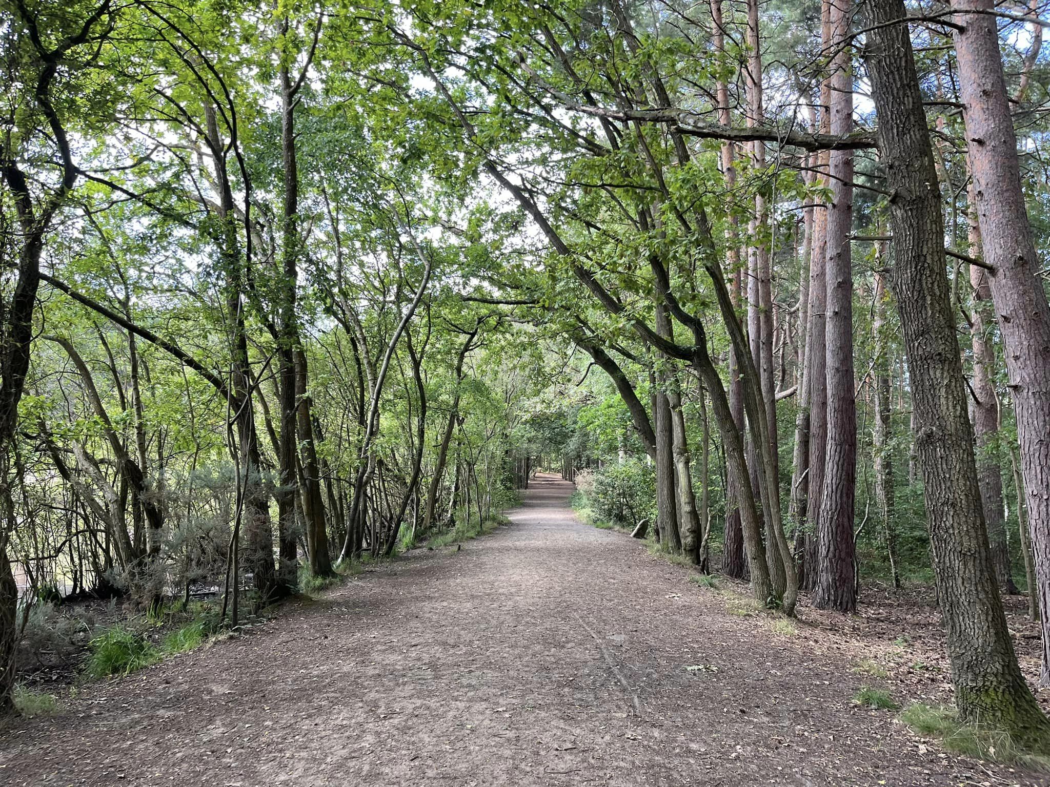
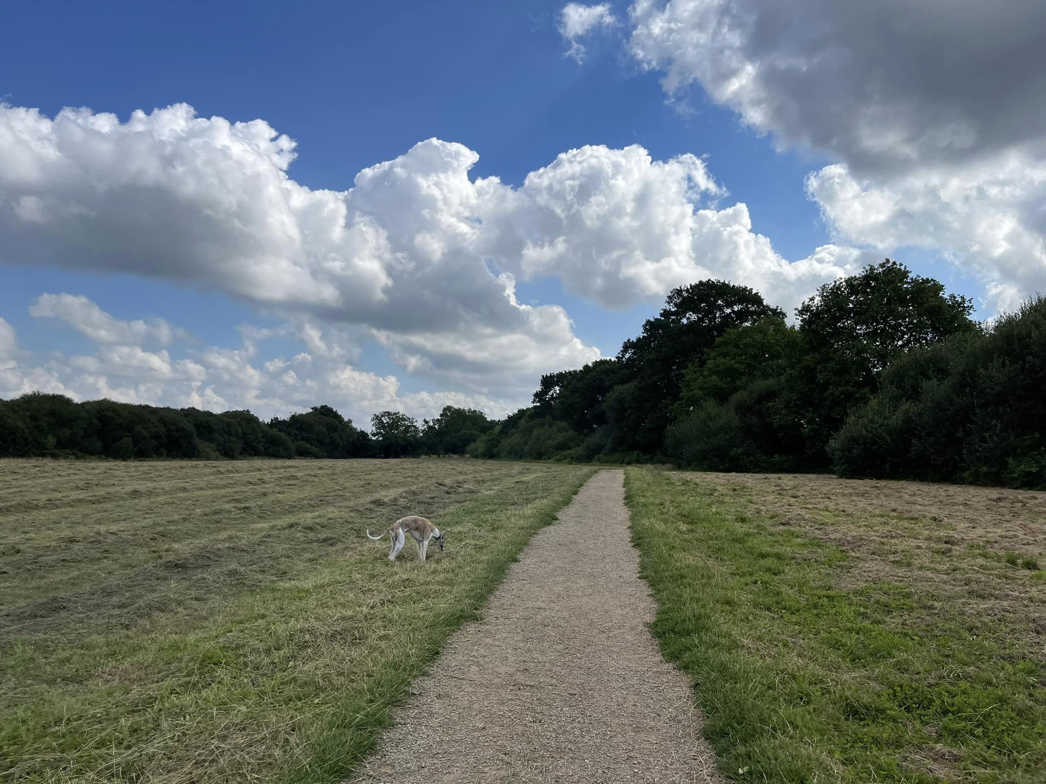
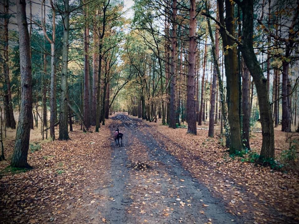
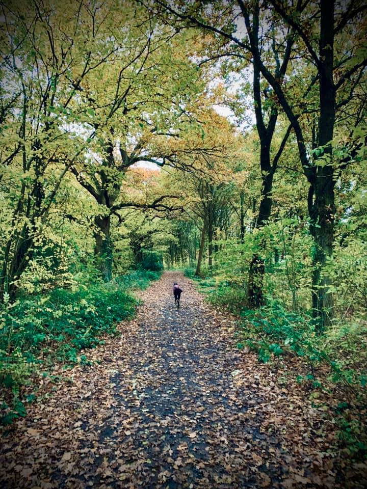
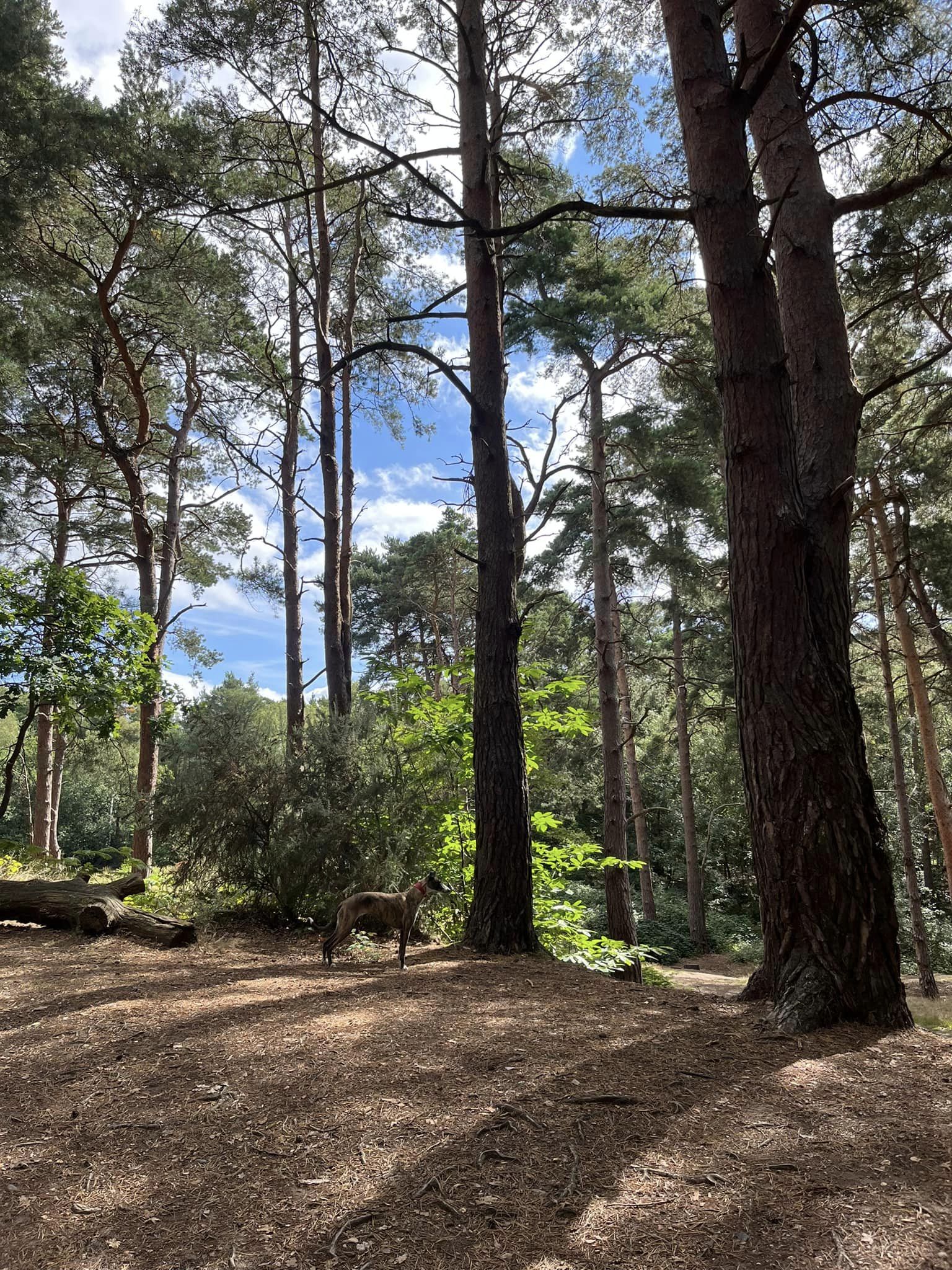
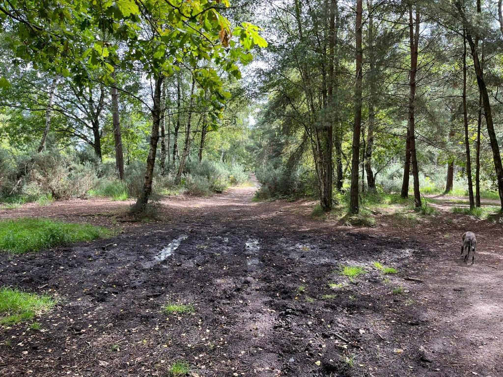
Terrain: This is a nice flat walk. The paths through Heather Farm are surfaced and there are several sections of boardwalk. On Horsell Common, the paths are quite sandy, although those through the woods can get pretty muddy in the wetter months of the year,
Stiles/kissing gates? No stiles. One gate but it’s not a kissing gate
Take the path up the steps from the corner of the car park, passing an information board on the right.
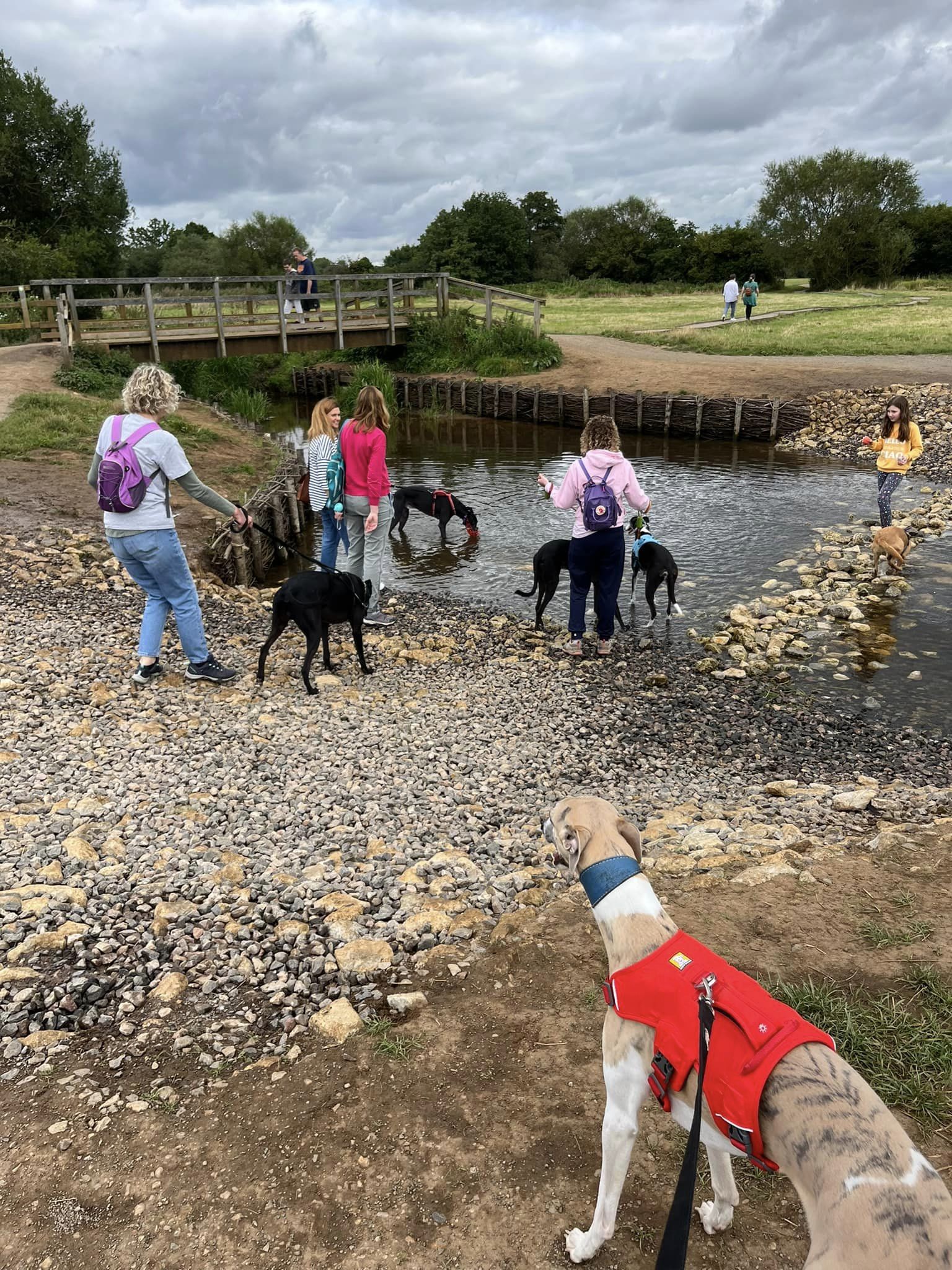
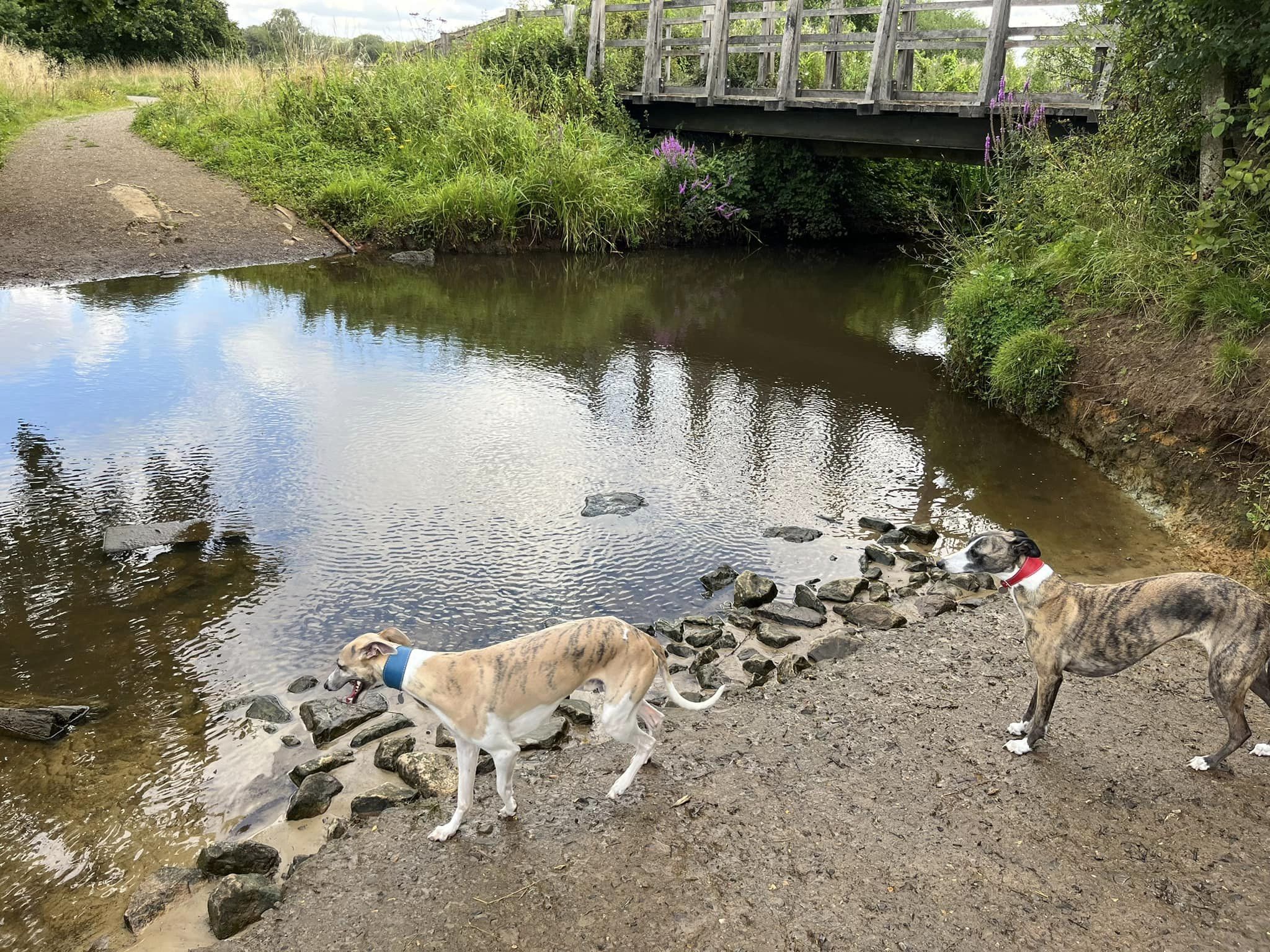
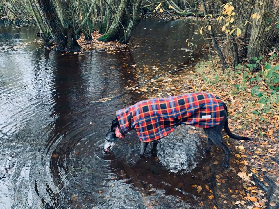
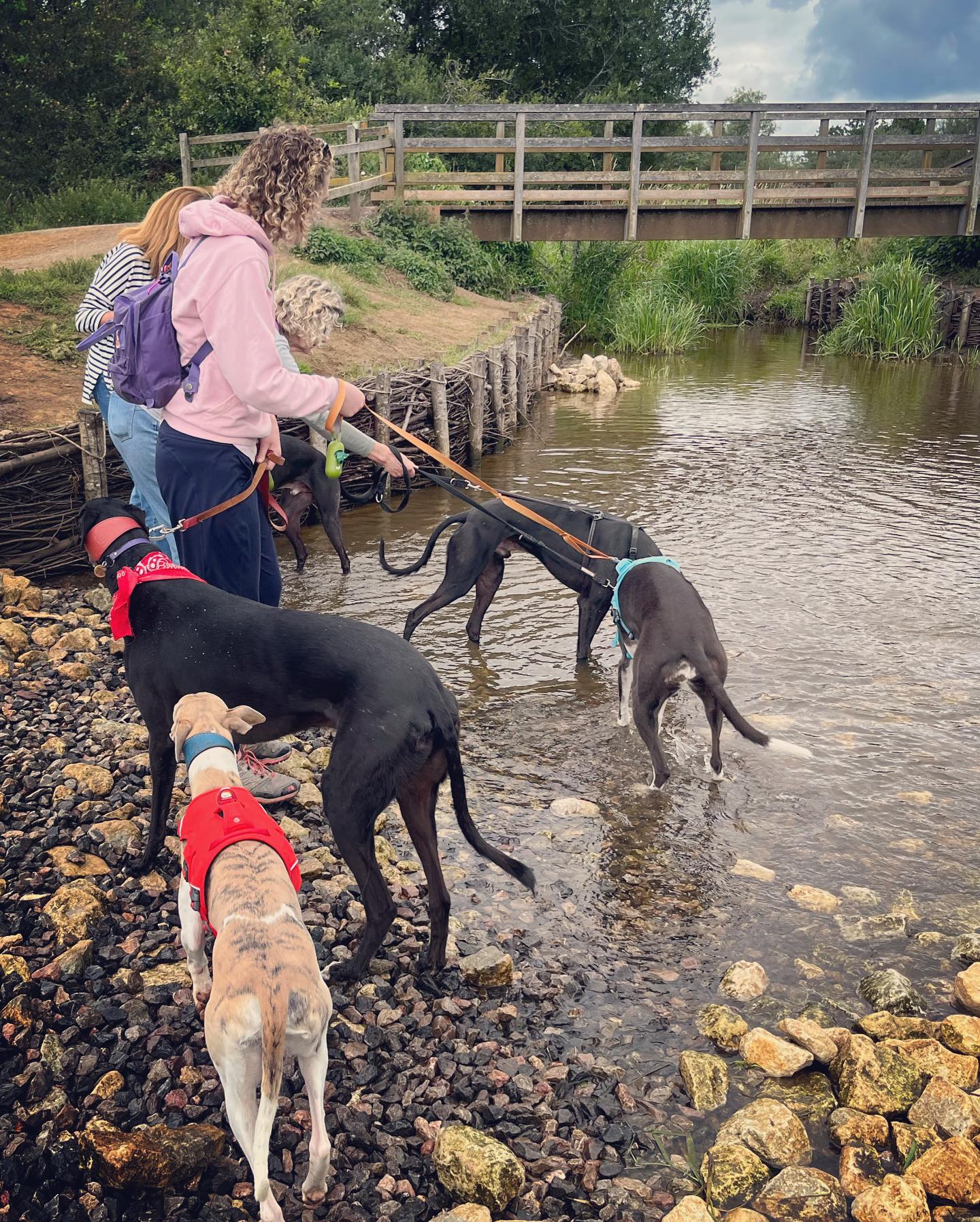
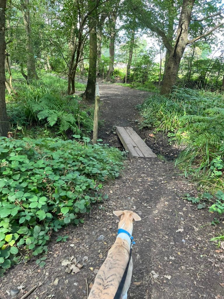
Go over the bridge and immediately turn right. Follow this path along the edge of the grass (to your left) and the stream (to your right) to the bridge and cross the water (or paddle through it/clamber across the stones).

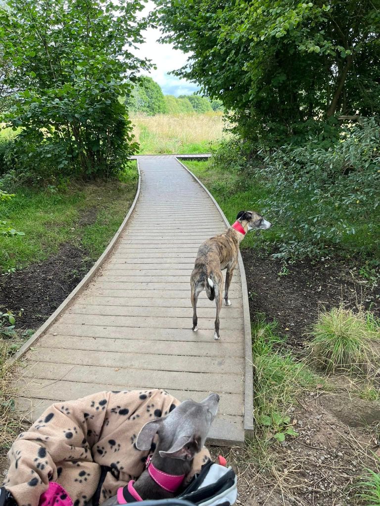
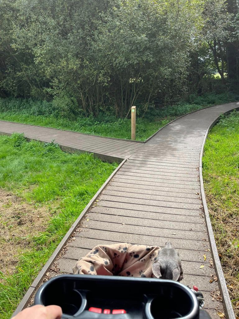
On the other bank, continue straight ahead onto the boardwalk. It alternates between gravel path and then boardwalk again. When you come to the T-junction (boardwalk), dog-leg right then left by the marker post.
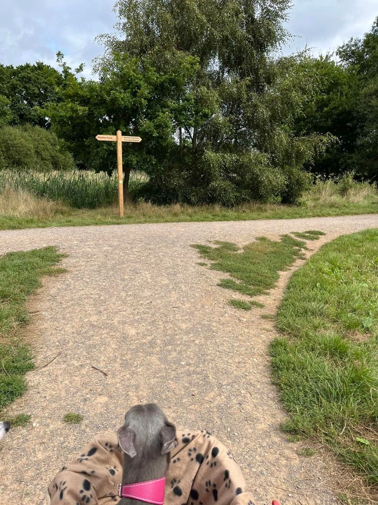
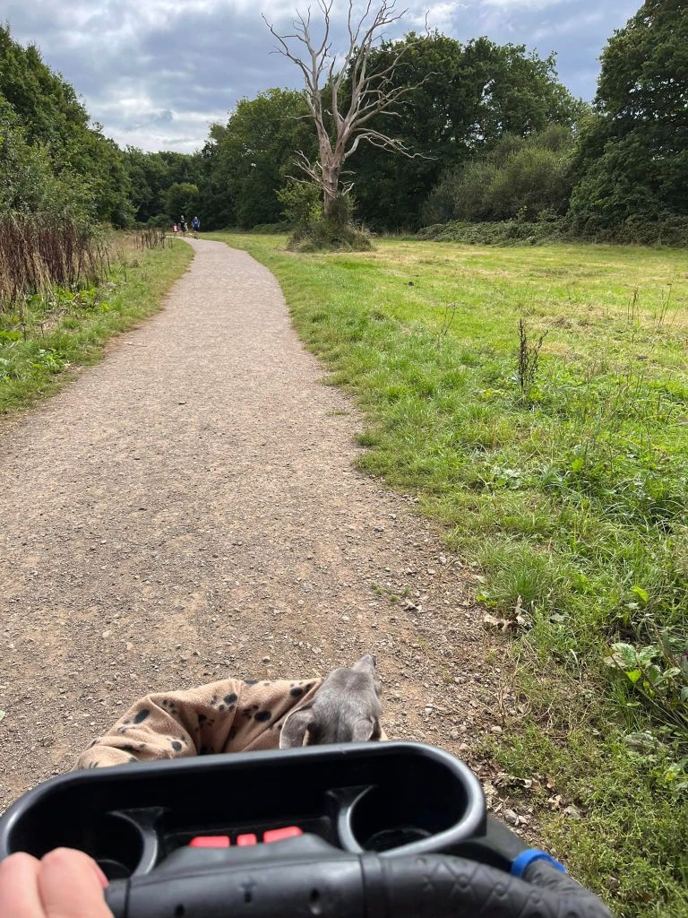
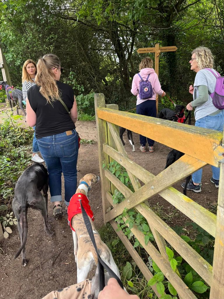
Follow this boardwalk and sometimes surfaced path down to the T-junction at the finger post – it points left to Heather Farm and right to Horsell Common and Fairoaks Airport. Turn right here and follow this path past a gnarly dead tree (on the right) to the gate, which leads out of the Heather Farm site.
Just before the gate, there is a slope down to the stream to the left – this is a good paddling spot.

Go through the gate and turn right at the finger post so you’re heading towards Horsell Common.
Follow this compacted mud path through the trees. It’s mainly straight but it does S-bend past a residential building and will shortly bring you down to a quiet lane.
Dog-leg/go diagonally left across the lane taking the path ahead and to the left of a marker post with a green circle and a white arrow on it.
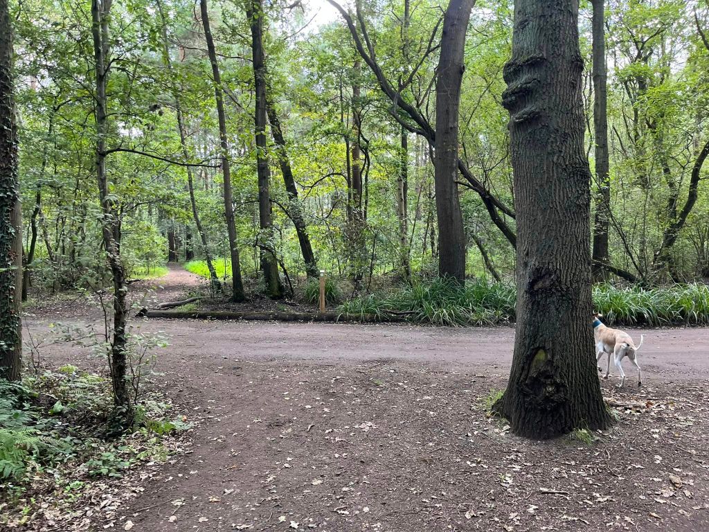
This is a clear woodland path and presently you’ll reach a wide cross paths that can be a bit muddy. There are two paths to the left here, with trees and a silver birch stump between them (the first path is quite narrow.) Take the second path on the left.
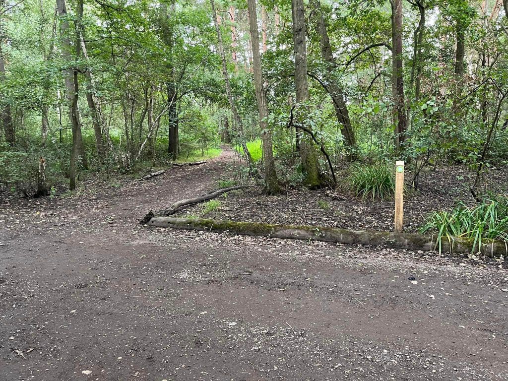
Stay on the main path and it’ll go beneath some power lines. At the next cross paths one corner of the junction is edged by large logs. Continue straight ahead.

Stay on the path as it bends to the right slightly (ignoring the option slightly to the left) and you’ll come to another large junction of paths, which is a bit of a mess and hard to describe. It tends to be quite muddy all year round and there are paths off in all directions. Thankfully, you just continue straight ahead here anyway and the path narrows then gets much wider.
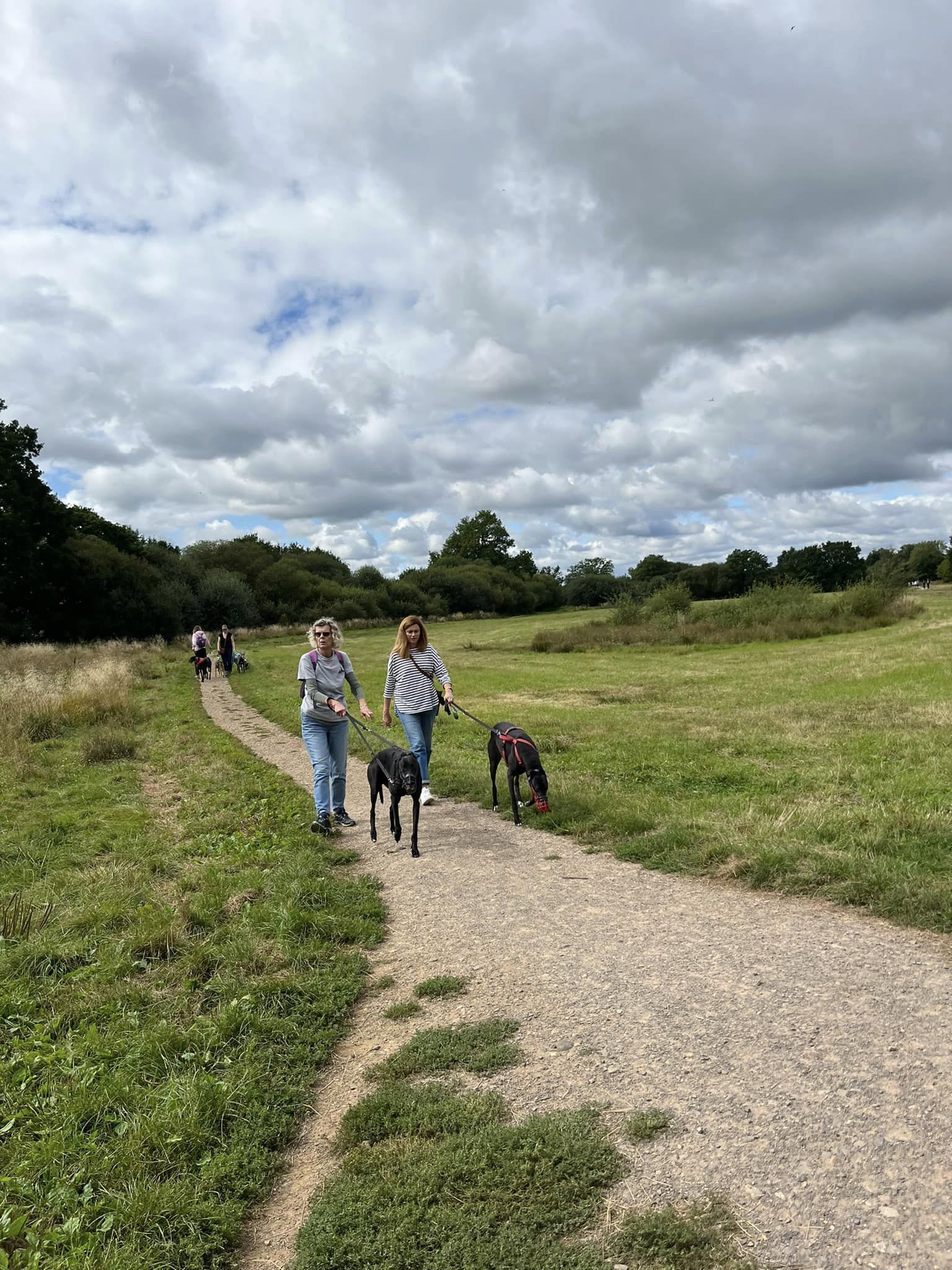
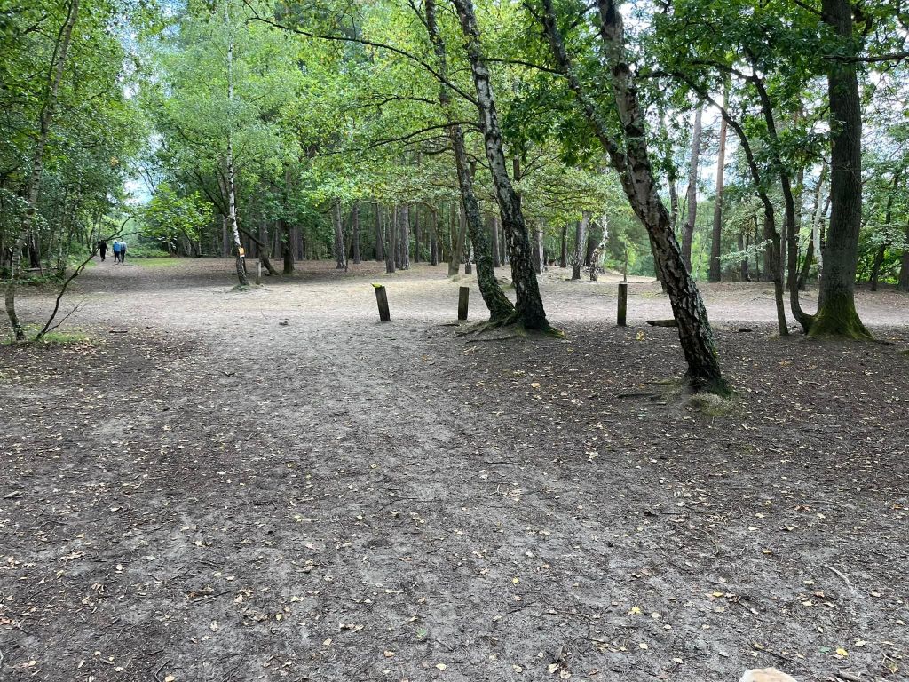
This is now quite a long straight section. Eventually you’ll reach the main artery path that runs through the middle of the common. This junction has several small wooden posts by it and silver birch trees. You’ll want to turn right at these posts onto this main path.
OPTIONAL DE-TOUR: If you want to visit the bit called ‘The Sandpit’, you can do that now, BEFORE turning right, go straight ahead to the opposite side of the main artery path and a large, very sandy area stretches away to your right. Rena used to go nuts running around here. There is a seasonal pond here that dries up in the summer.
Anyway, back to where we were. Turn right at the small posts onto the main path and follow this straight. After some way, there’s a lake on the left.


You can also de-tour over to this lake you want – the path to it is quite clear. Just return to the main path when you’re done and keep doing down it.
At the end of the main path you’ll see a vehicle gate, behind which is Sandy Track car park.
Don’t go through the gate. Instead, just before it, turn right onto a little path, the. Go straight over at the cross paths onto another little path to the lane.
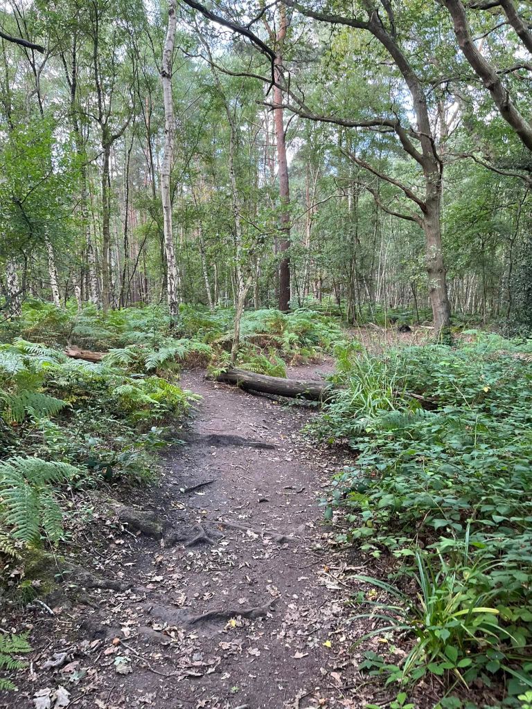
Cross the lane and take the little path on the opposite side, which goes through trees and ferns.
When you reach the junction of paths at the boundary of the woods, bear left along the path that skirts the boundary. To your right behind the boundary is a residential property or maybe a farm, I’m not entirely sure what it is.
Follow the boundary path and go over the little plank bridge.
A bit after the plank bridge, there’s a fallen tree – the path kinks round to the left of it.
The next junction just after the fallen tree is a bit hard to describe as the paths are small and there can be lots of ferns and brambles so it can be hard to see where you want to go. But basically you want to walk a few straight paces on from the tree and then take a path bearing to the right – just follow your nose really, but bear in mind you’re aiming to go kinda diagonally to the right.
Follow this down to the next lane (Seven Acres) and cross straight over.
Continue ahead until you reach the access road to Heather Farm. Turn right and follow it back to the car park – of course be sure to take care as you go because of cars.

Leave a comment