About
Gallery
Instagram reel showing this place
Parking
Poo bins?
Self-guided walk
About
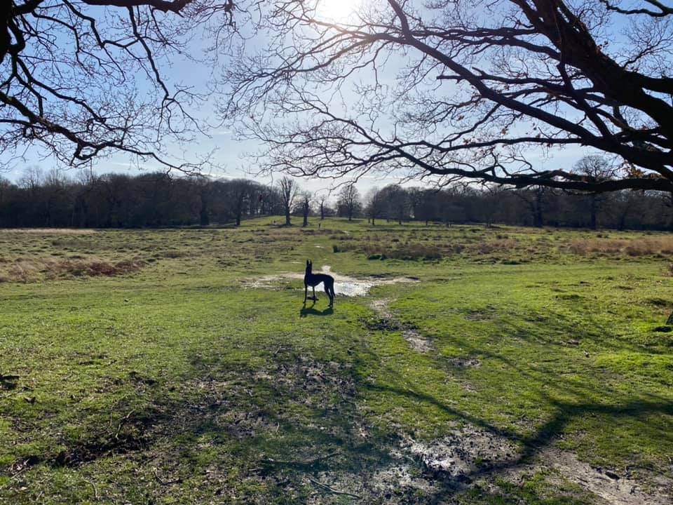
Richmond Park is the largest of London’s eight royal parks. Covering 2,500 acres, it’s also the capital’s largest Site of Special Scientific Interest and a designated nature reserve that boasts ancient woods, rolling hills and open grasslands. It is a haven for rare species such as stag beetles, bats and moths, and natural habitats. There are anthills that go back 150 years and an ancient oak thought to be 750 years old. The 600-strong herds of red and fallow deer have roamed the park for four centuries.
The park as we know it today dates back to 1625, when Charles I brought his court to nearby Richmond Palace to escape the plague sweeping through London.
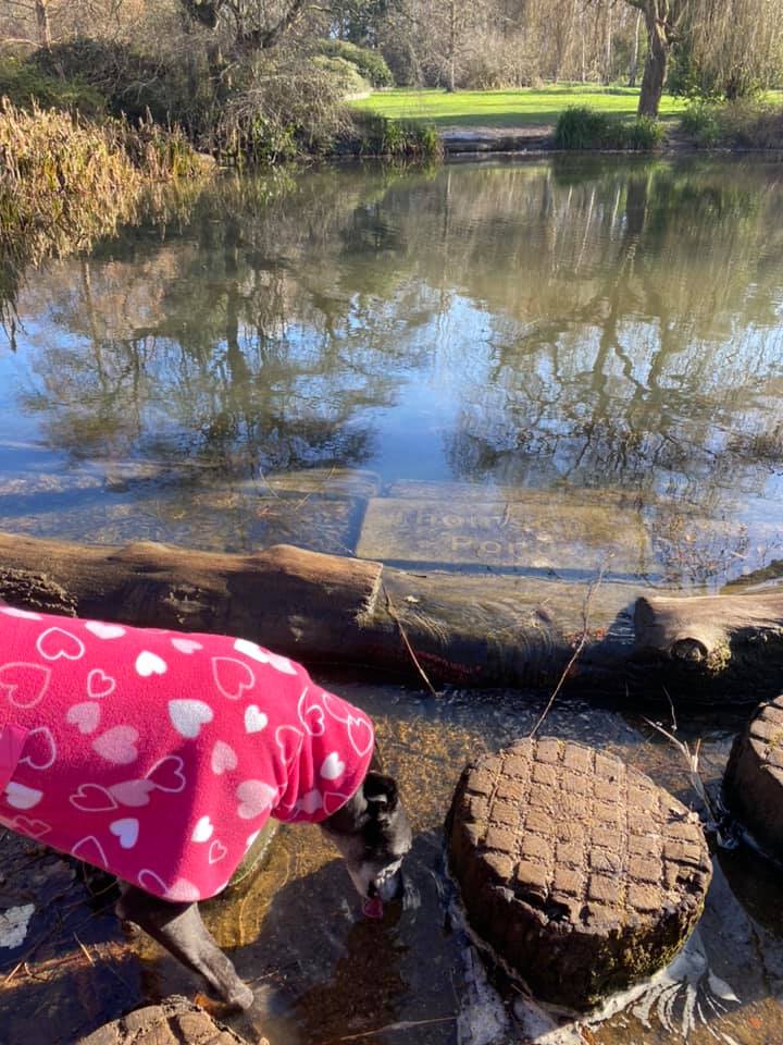
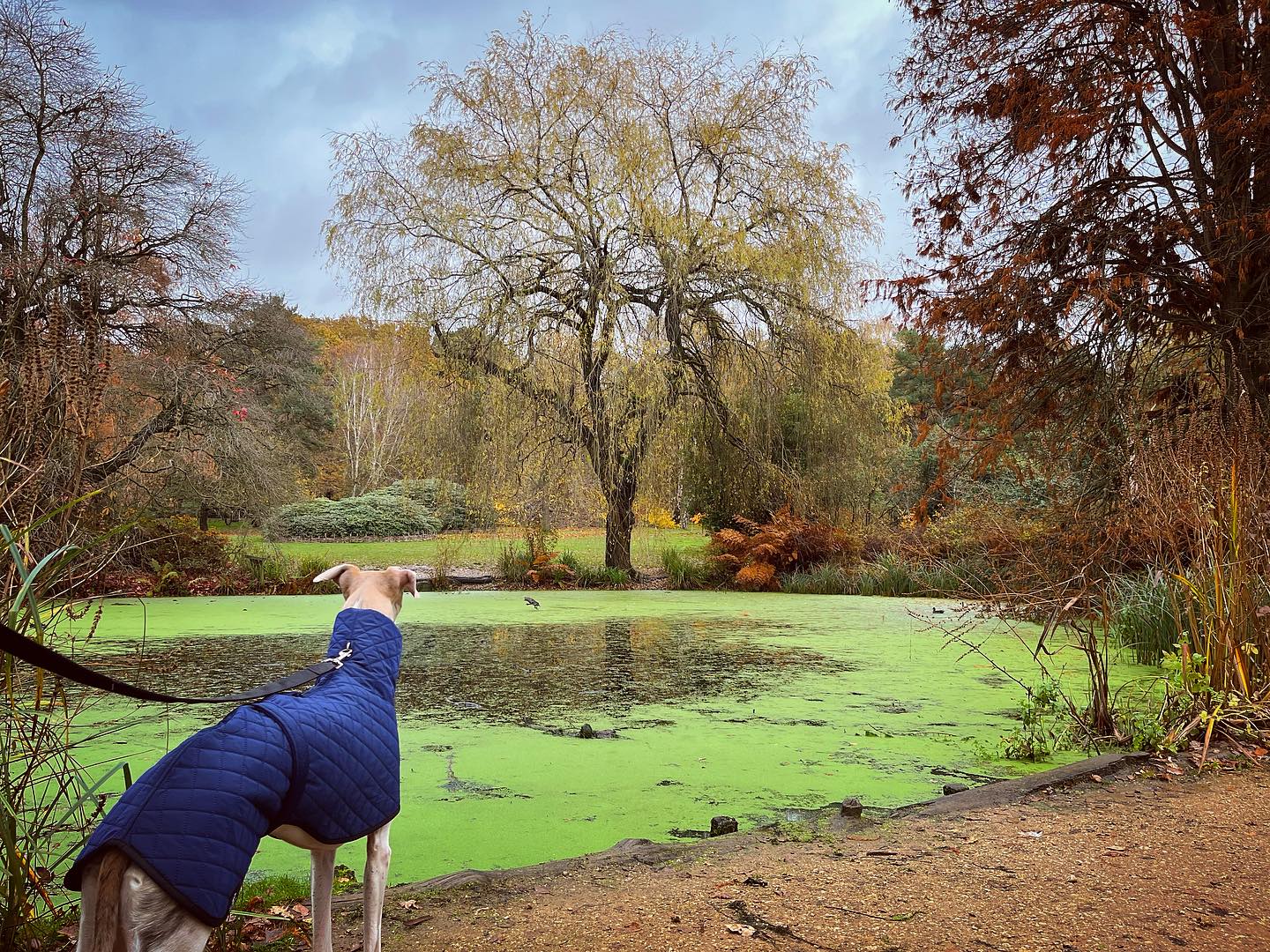
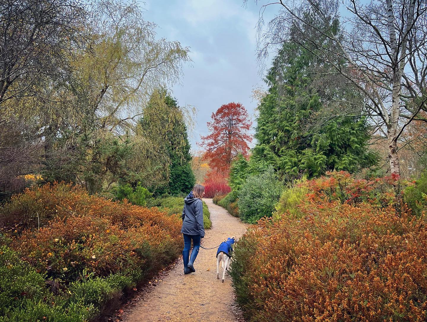
The 40 acre Isabella Plantation, which was established in the 1830s, is an oasis of peace with tranquil woodland paths, streams and azaleas, which flower in late April and May. Fed from a natural supply of water pumped from Pen Ponds in the heart of the park, the plantation’s ponds and streams are an important part of the diverse range of habitats available to wildlife.
Why is it called Isabella? Experts aren’t sure exactly but it’s likely to be a corruption of the word ‘isabel’,’ which was used as far back as the 15th century to mean dingy or greyish yellow – the colour of the soil in this part of the park.
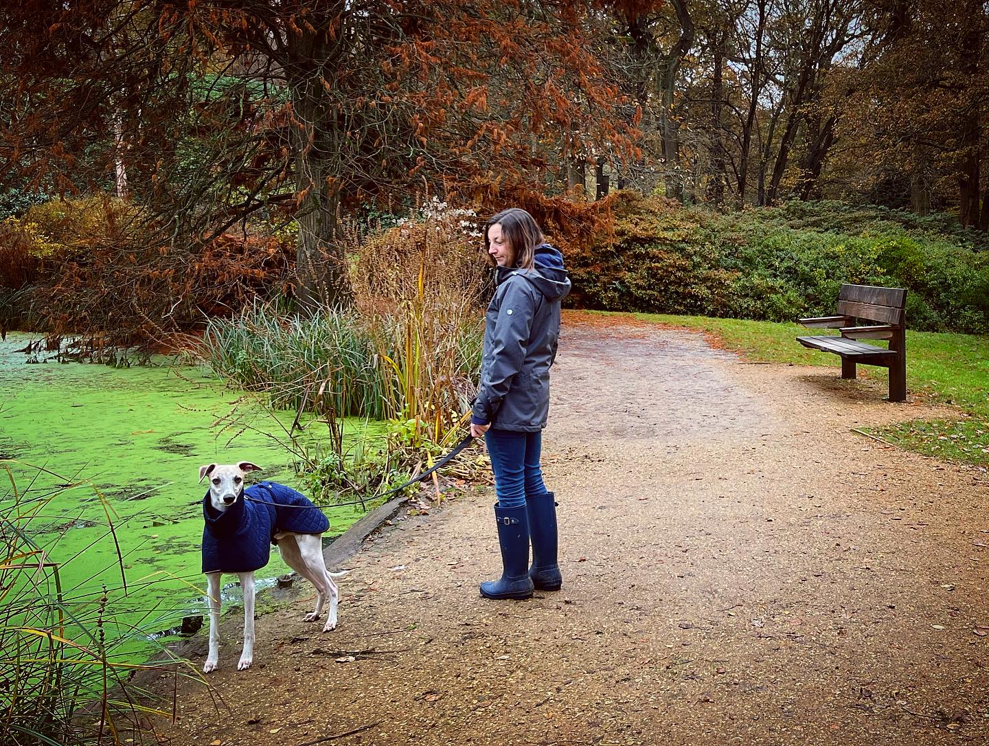
There are more than 30 ponds dotted around the park, including the large Pen Ponds which date from 1746 and were once used to rear carp for food. Both were temporarily drained during the Second World War as they formed a landmark for the Luftwaffe.
*If you like this walk, why not try out the Walks with Rena route at nearby Bushy Park?
Dogs and the deer seasons
— Birthing season (1 May to 31 July) – dogs need to be on leads during the deer birthing season. This is mandatory and applies to all areas of the park.
— Rutting season (September to November) – it is advised to keep dogs on a lead near deer, or walk them elsewhere during this season. Keep a minimum distance of 50m from deer. If the males seem active then keep at least 100m away.
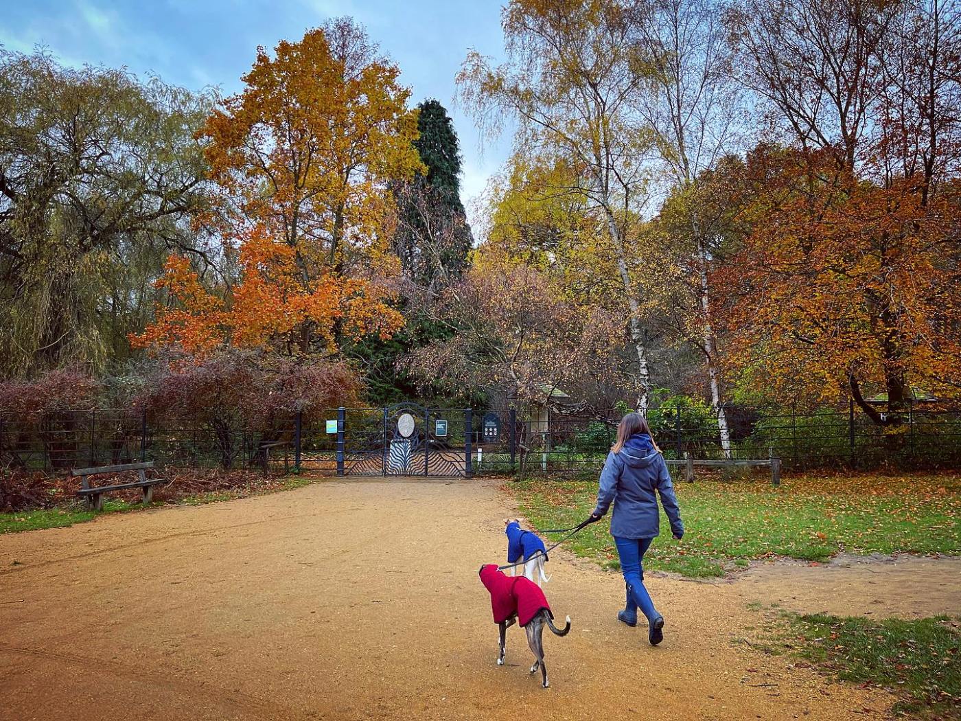
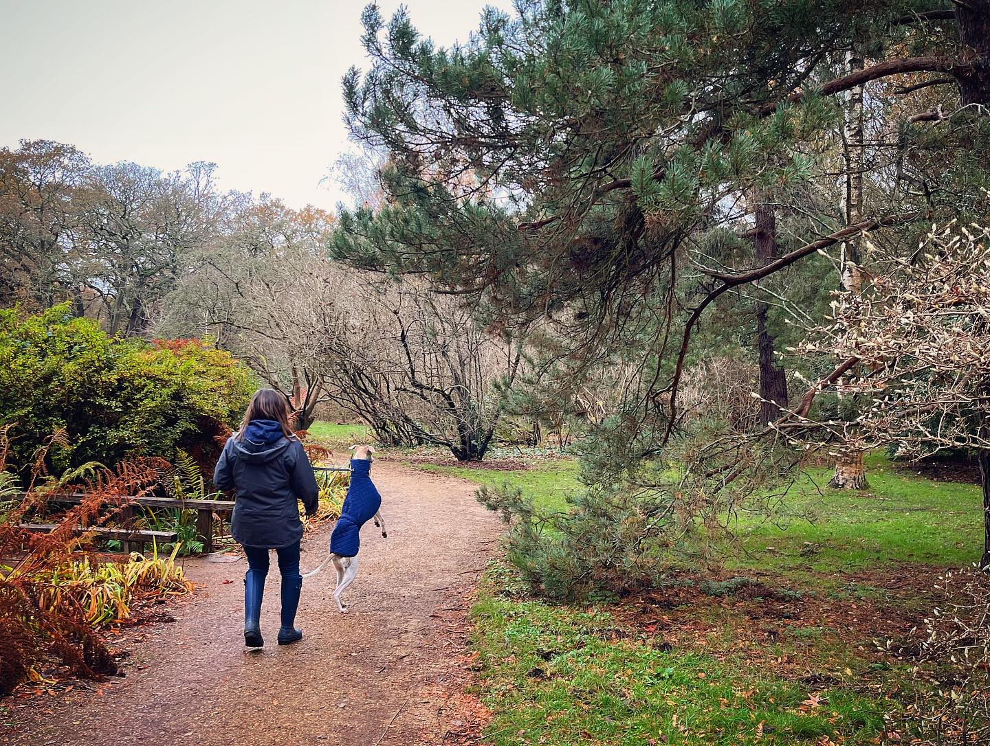
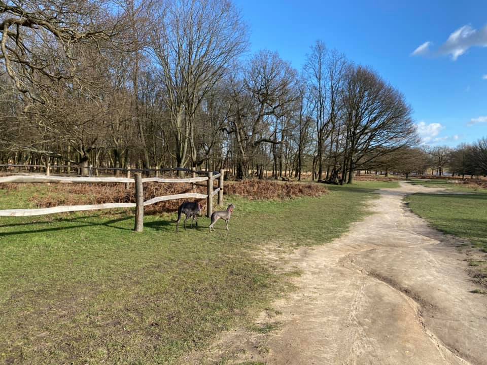
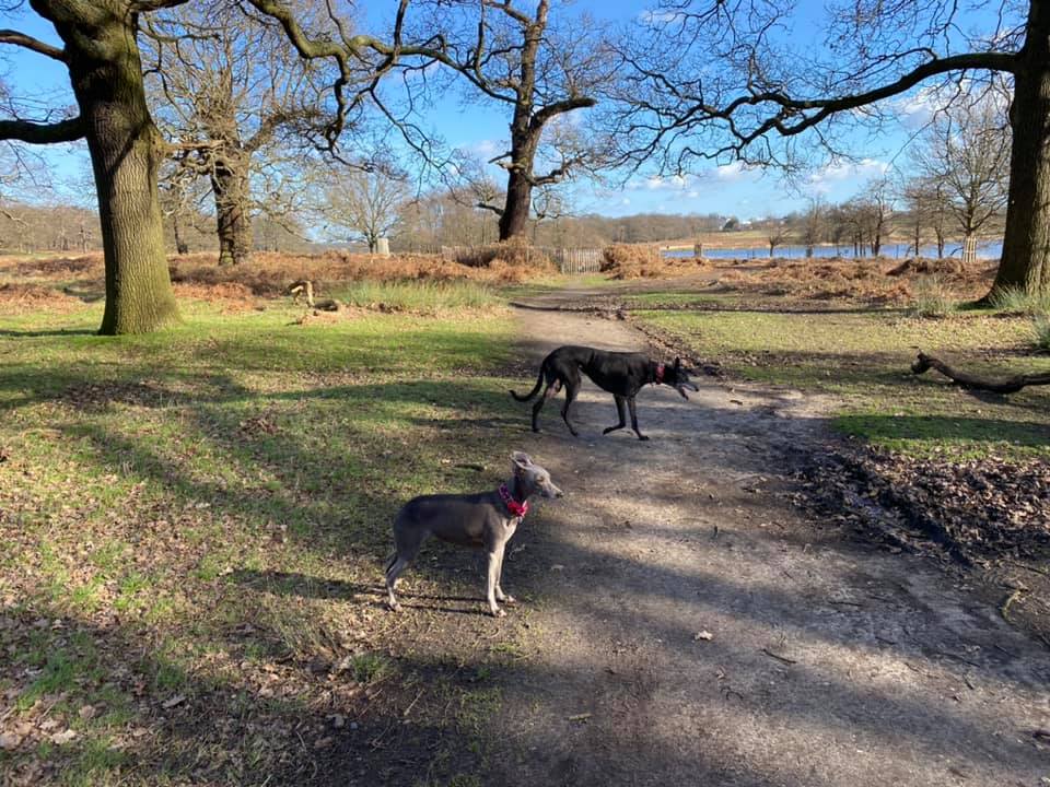
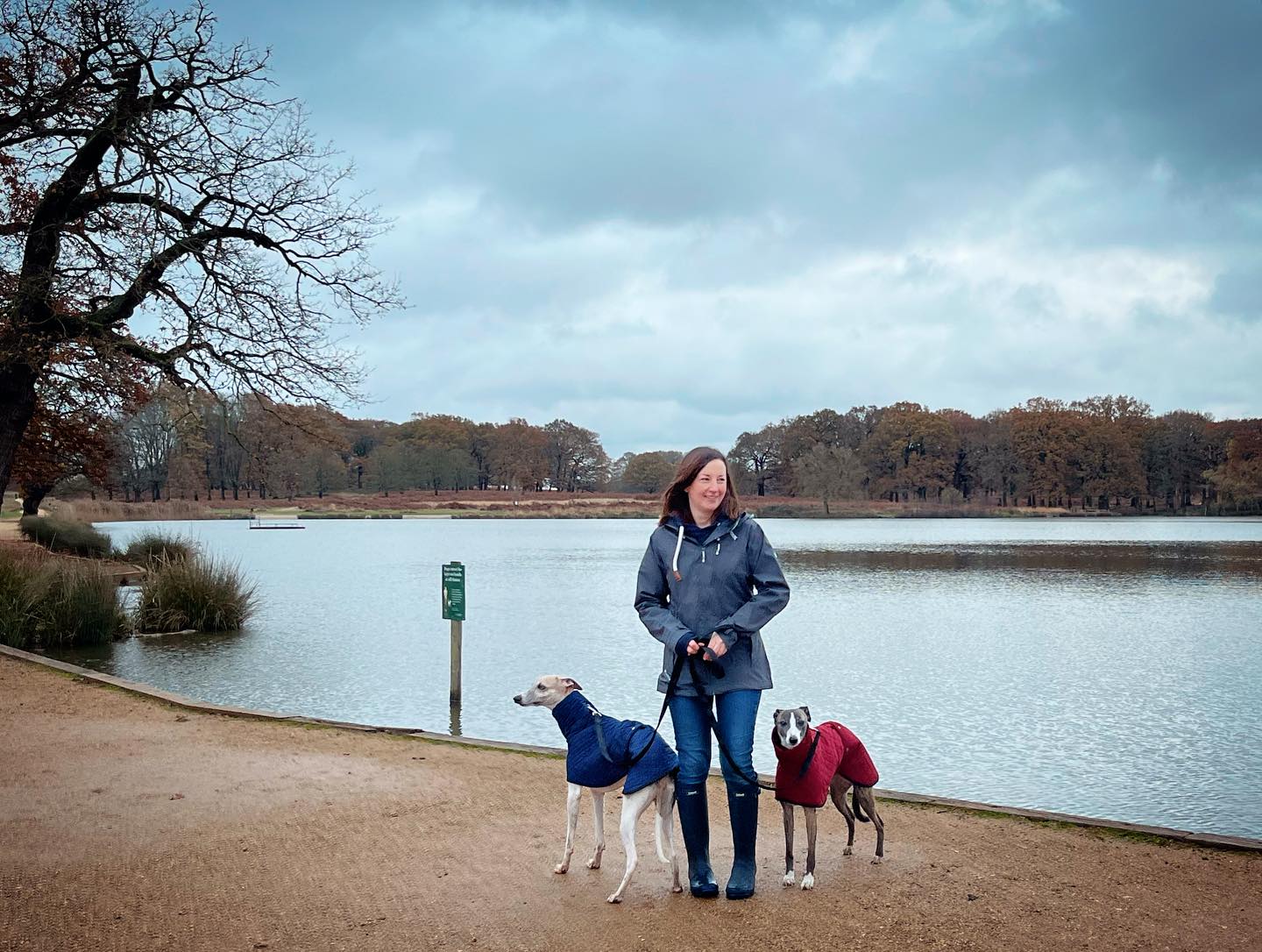
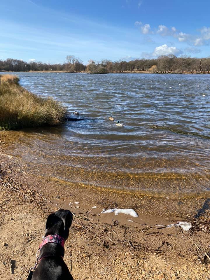
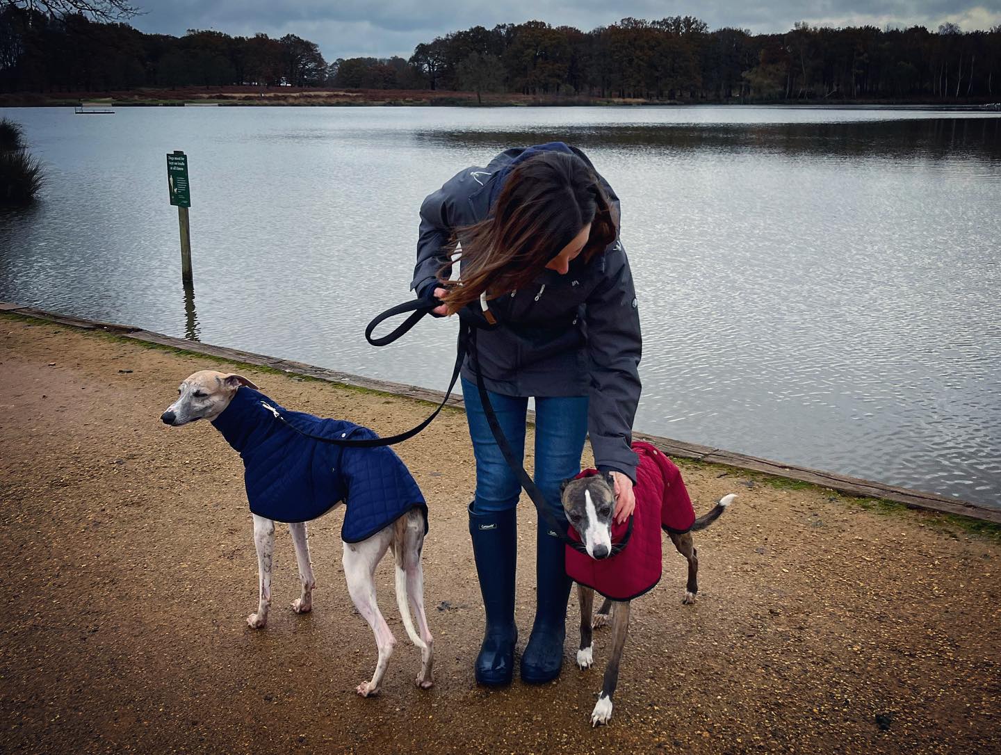
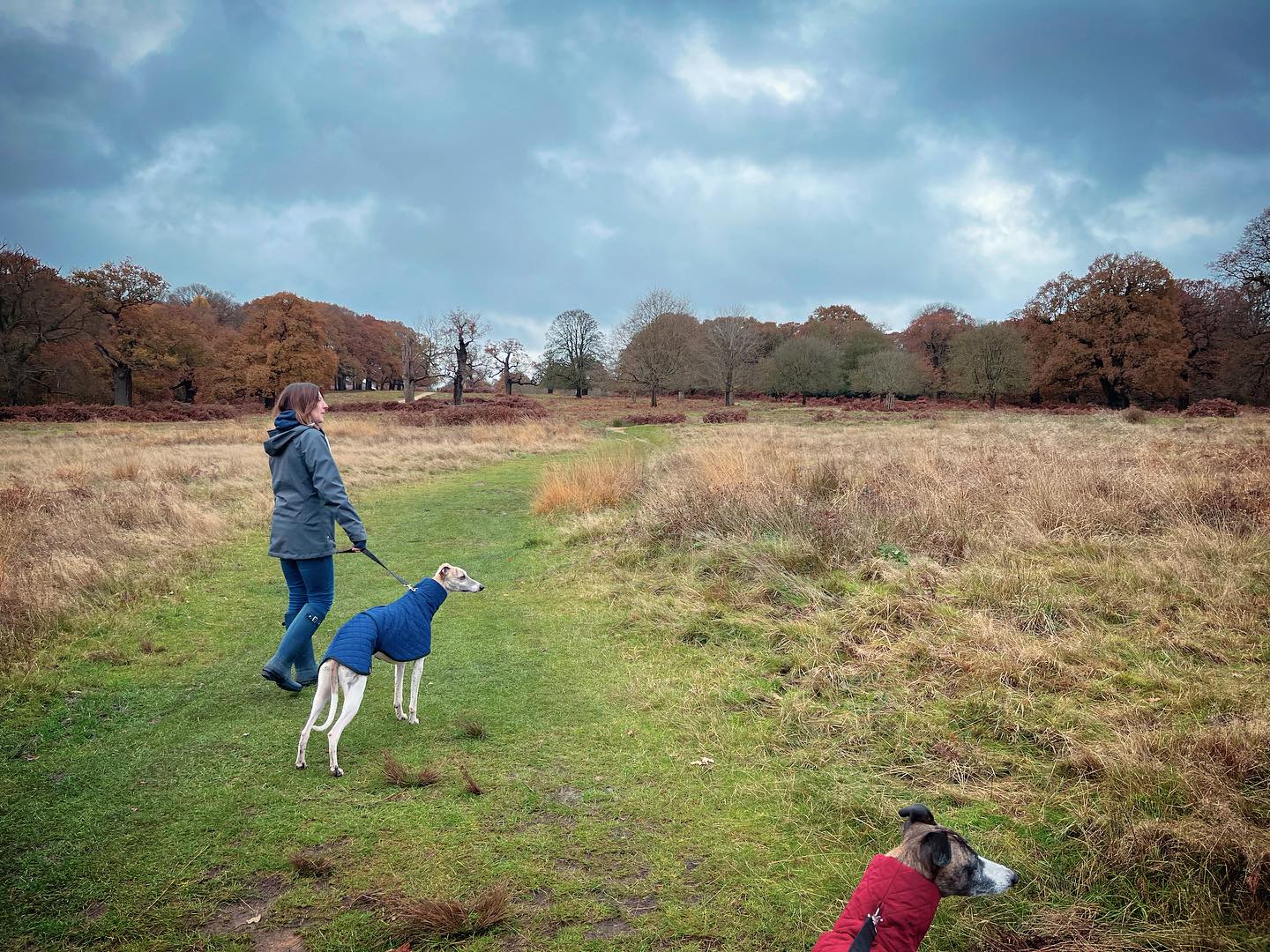
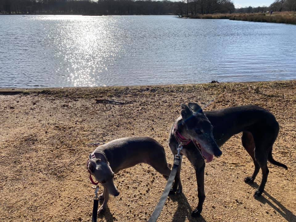
The Gallery: What’s it like here?


Instagram reel showing this place
Parking
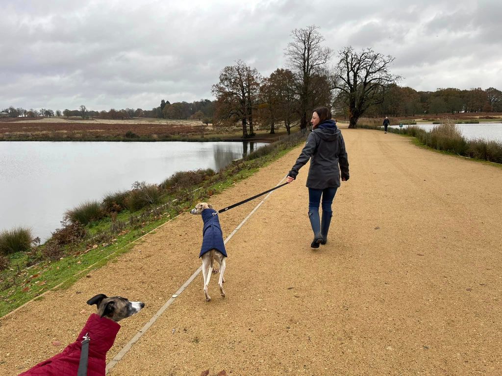
There are seven car parks around Richmond Park. The one I use for the walk on this page is the closest to the Isabella Plantation, Broomfield Hill car park.
PLEASE NOTE: The pedestrian gates are open 24 hours a day, except during the six week deer culls from November to early December and February to early March, when they open from 7:30am and close at 8:00pm. The vehicle gates open from 7:30am (7am during British Summer Time) and close at dusk each day, which varies throughout the year.
GOOGLEMAPS LINK: https://maps.app.goo.gl/cMsR94CA1oY6FM7g8
WHAT3WORDS: https://w3w.co/unwanted.chips.cave
NEAREST POSTCODE: TW10 5HZ (gets you inside the park but not exactly to the car park)
Poo bins?
At the car park and dotted around the park.
Self-guided walk
Here is a Footpath app route from Broomfield Hill car park, which I access via the Kingston Gate. Also on AllTrails. This walk takes in the ornamental garden and water features of the Isabella Plantation, goes through some of the park’s fine grasslands, and passes the Pen Ponds.
Length: approximately 2.4 miles/3.88km
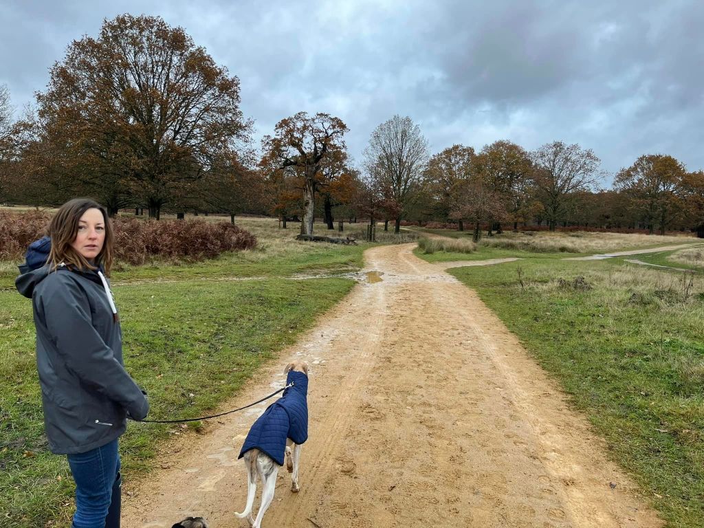
Terrain: A lovely, mostly flat walk – the incline at the end is barely worth mentioning. A number of the paths are well maintained, surfaced paths. The rest are through grass and can get waterlogged and muddy during the wetter, colder months of the year.
Stiles/kissing gates? No stiles. Two gates – in and out of the Isabella Plantation – but neither are kissing gates

Exit Broomfield Hill car park at the entrance through which you entered it (with the cafe behind you and to the left.) Cross the road and pass the finger post to take the surfaced path that heads away from you and runs alongside the fence (on the right.)

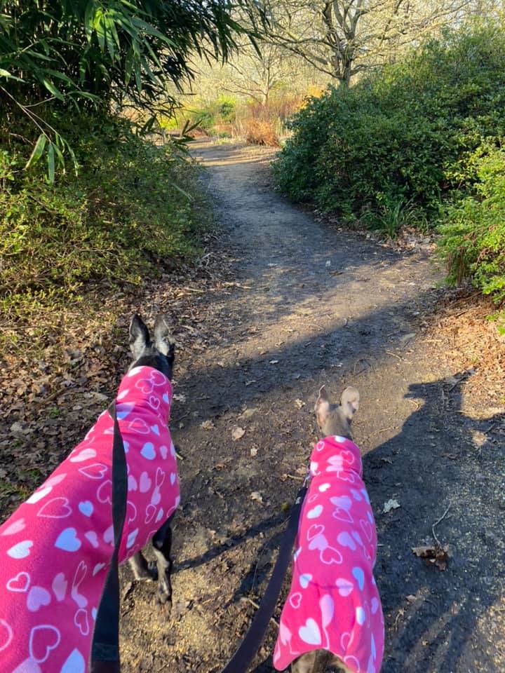
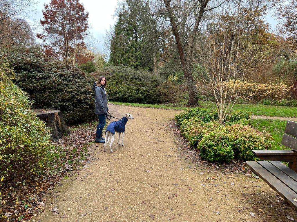
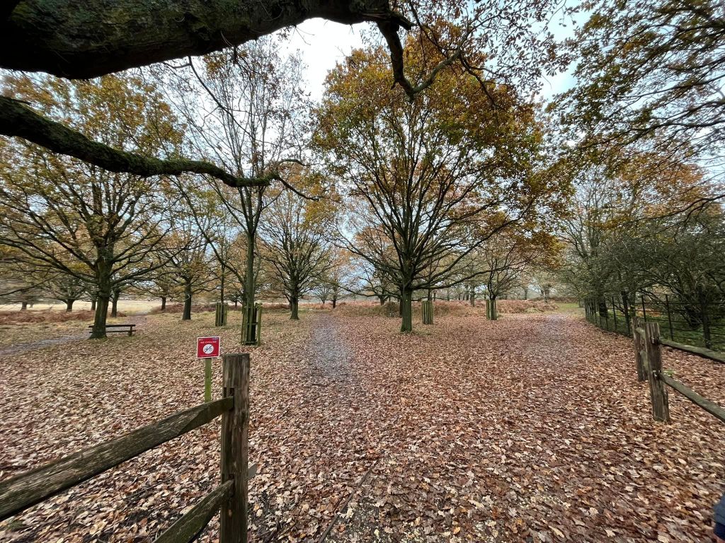
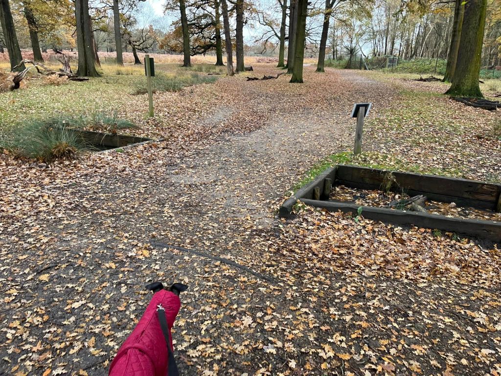
At the corner (where there’s a bin on the right), continue straight ahead on the surfaced path, which brings you down to the Isabella Plantation – go through the gate into the plantation. It’s wise to keep your dog on a lead at all times in Richmond Park because of the roads and the deer, but they must be on lead at all times in here.
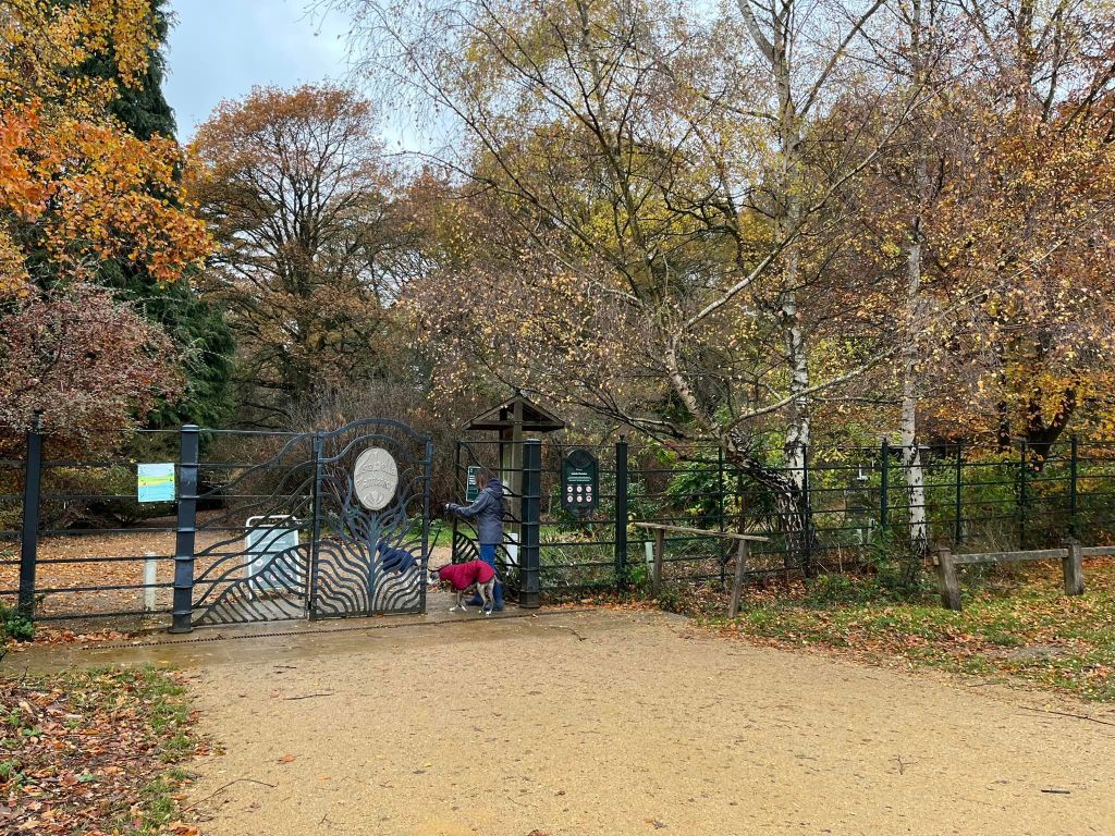
Pass the map and information board on the right and continue straight ahead. You’ll pass a tiny post on the right with the number 1 on it and then (probably) have to duck under the branches of a tree held up by a post (so mind your head.)
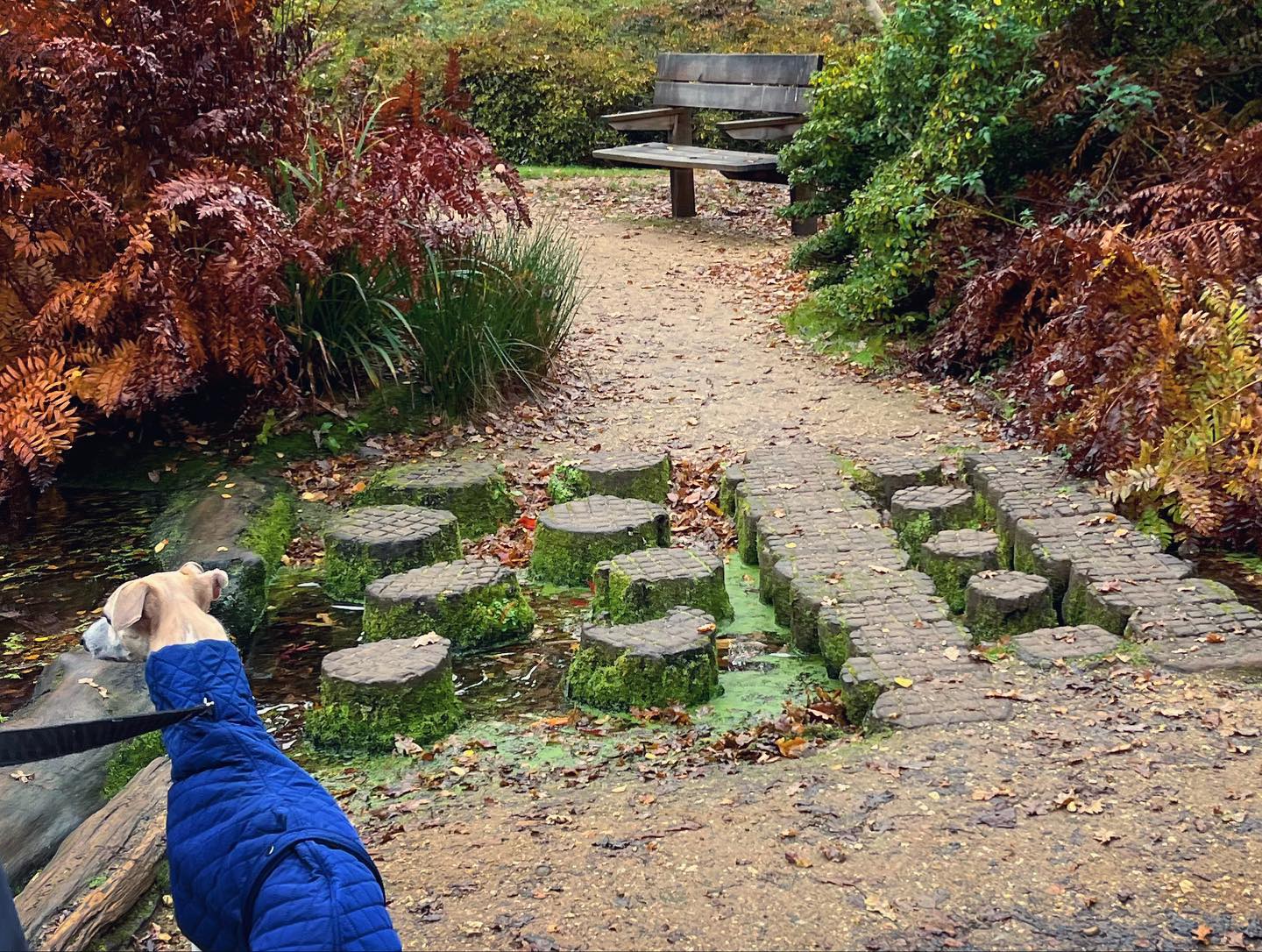
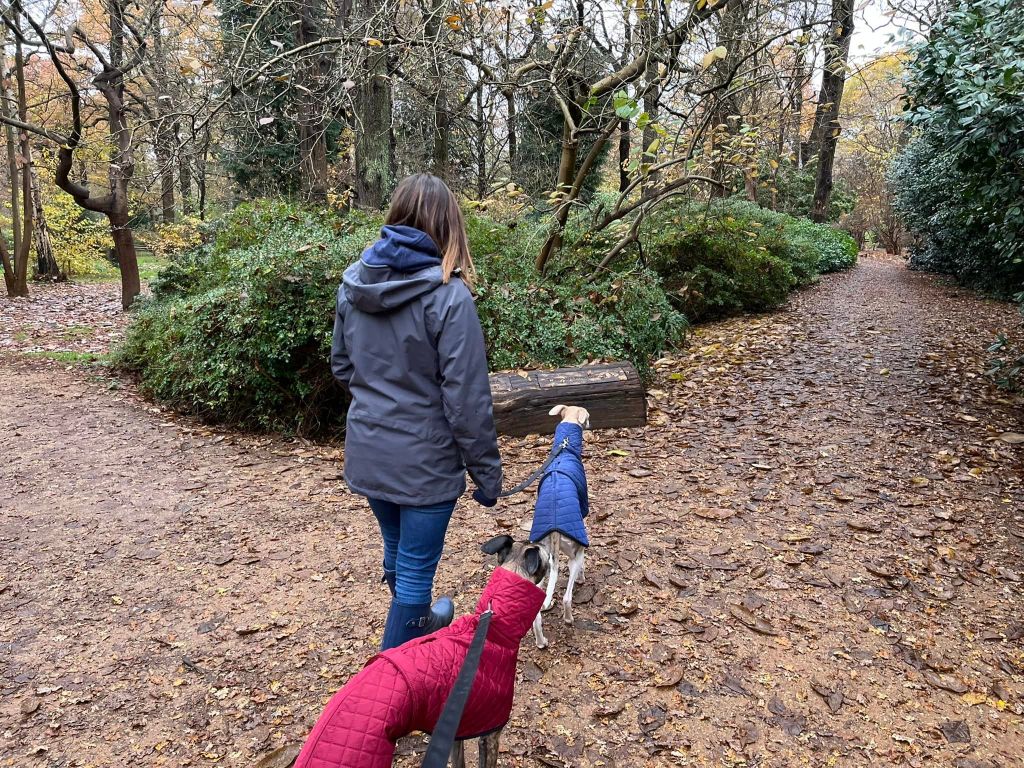
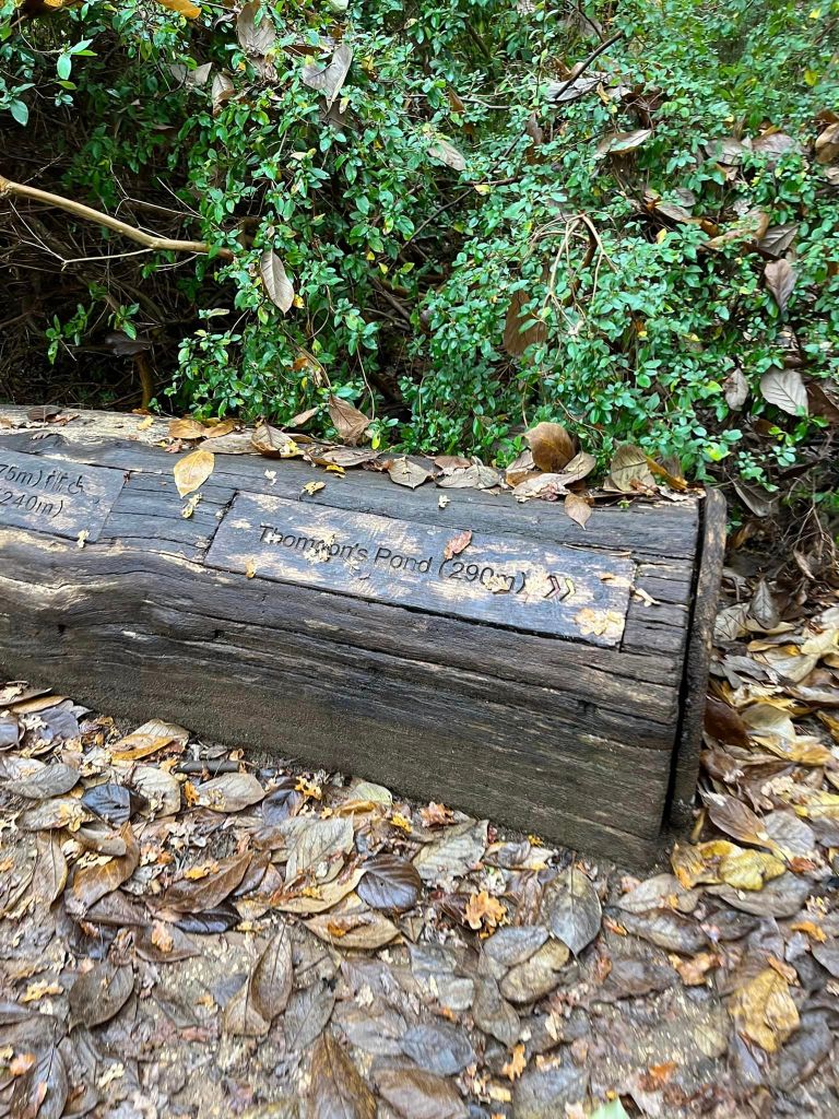
At the fork with the log, go right towards Thompson’s Pond.
As you go down here, ignore the first path off to the left. At the next junction, take the path to the left that goes past a bench (it is on the right of the path) and then skirts Thompson’s lawn (on the left, accessed via a couple of little bridges.)
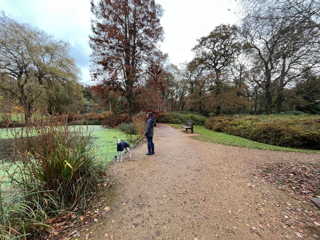
Continue ahead and over a series of log stumps to the pond (which is on the left), then turn right to take the path opposite the pond that heads away from the water (there is a bench on either side of this path.)

Follow the path down to the junction where there’s a bridge ahead – this goes over the “main stream” – but don’t cross over it. Instead, turn right before the bridge. Take this path down to a bench and a big tree stump.
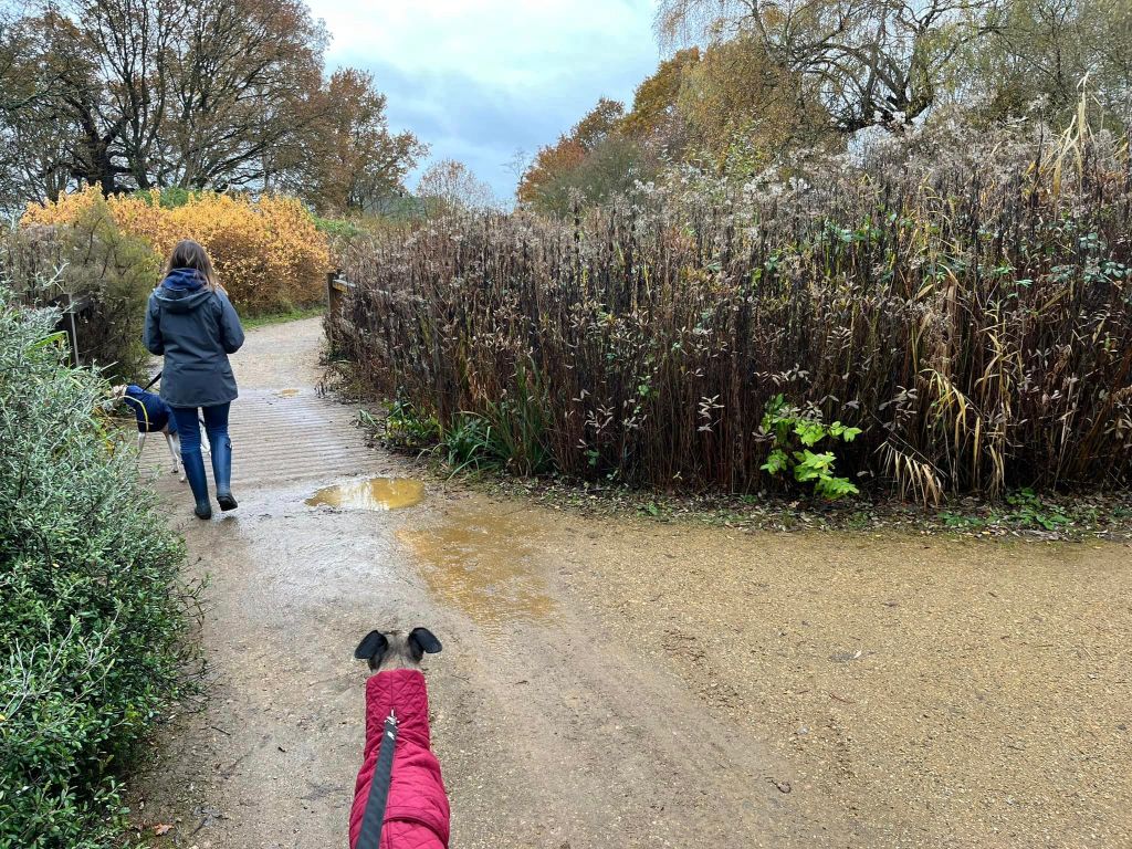
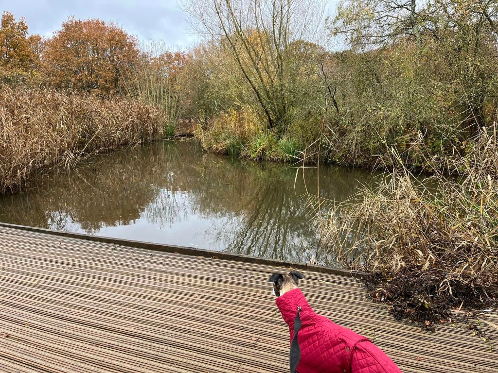
Go left just after the bench and stump and then keep straight ahead, ignoring bridges to the left and any paths to the right. You’ll come to a large bush in the middle of the path head – turn left here and walk over a flat board bridge, then onto boardwalk to pass Peg Pond on the right.
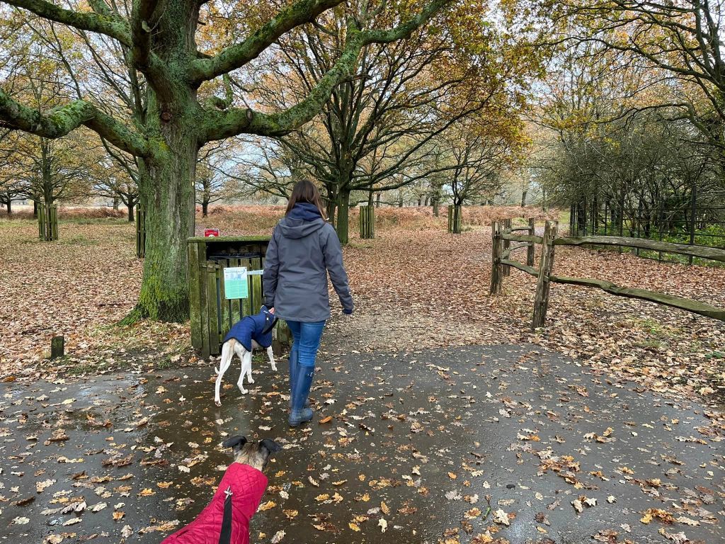
Continue ahead and exit Isabella Plantation through the gate.
Immediately turn right and walk through the little car park, exiting it via the path to the right of the bin. Now you’re at a fork so take the path on the left (immediately next to the cycling sign) rather than the right hand one that skirts the plantation fence.
Cross a board and keep going, then cross the road. Continue ahead on the grass until you get to the surfaced path, where you turn left.
Stay on the surfaced path until the next junction of paths – you can see a dead tree a little further ahead. Turn right.
Presently, the path will run parallel with Upper Pen Pond on your right. Follow this all the way to the bins and life ring. There, go around to the right and walk between the two ponds, Upper Pen Pond on the right and Lower on the left (named so for obvious reasons.)
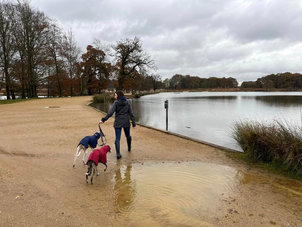
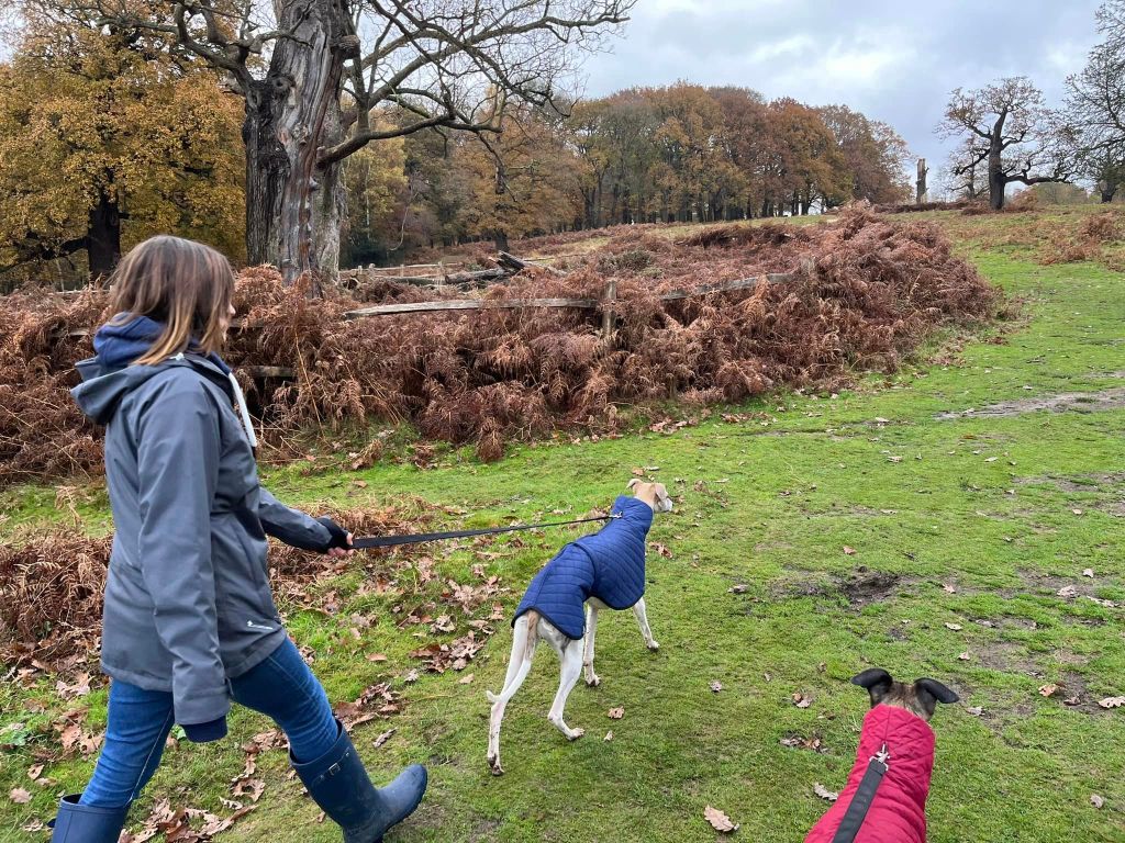
At the end of the ponds by the bins and life ring, turn right again and skirt the cleft Chestnut fence* and Upper Pen Pond
*(Cleft being “the original method by which our ancestors fenced their land thousands of years ago and continued today by a few skilled craftsmen” – my brother-in-law is a fencer.)
Pass the bench and keep ahead as the path curves to the left and then goes into the trees. Cross a stream.
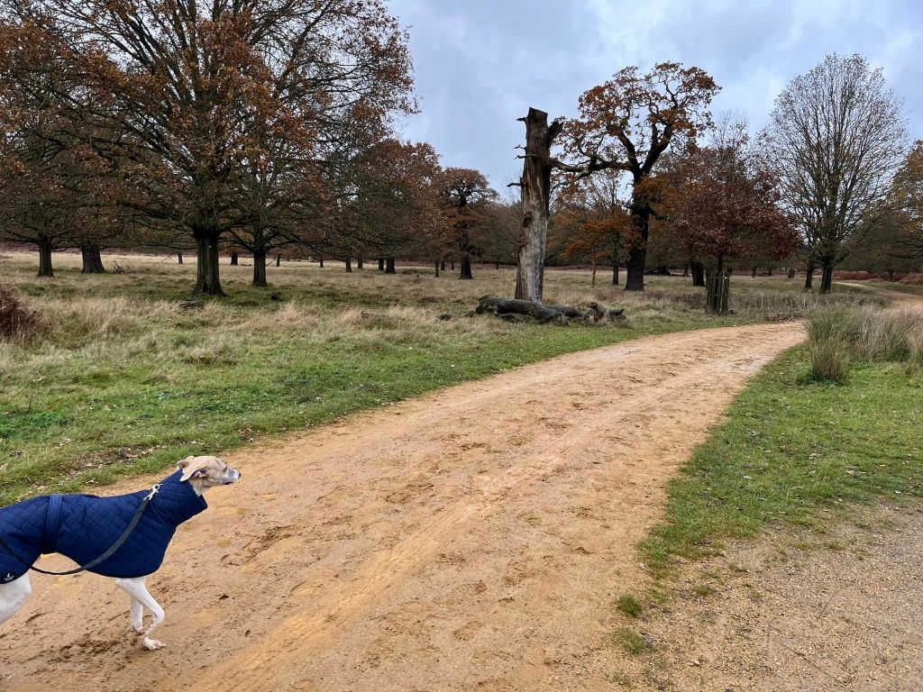
At the fork, take the left hand path to pass a dead tree trunk and another with a fence around it.

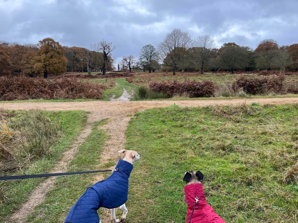
Continue ahead and cross straight over the tarmac path. Again, continue ahead and the path emerges from the trees – keep going straight ahead through the grassland.
Go straight across the sandy gravel path and head up the hill, passing the fenced in trees, then at the fork keep left to stay close to the fence.
When you come to the surfaced path, bear right and continue up the slope, passing another fenced in dead tree on the right.
At the brow of the hill, turn left onto the main path, keeping the tree line on your left. This path takes you back to the car park.
