
About
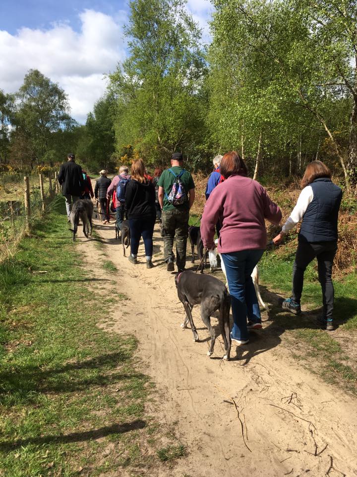
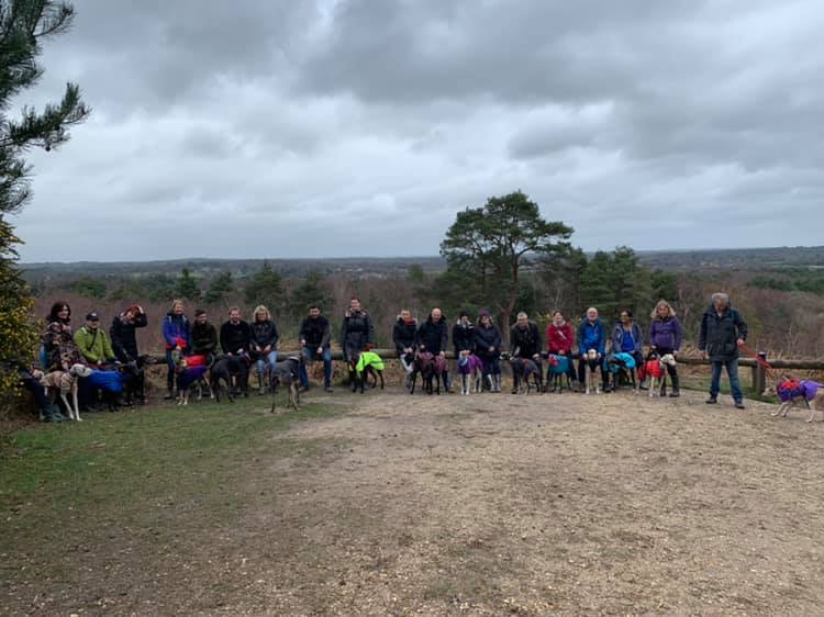
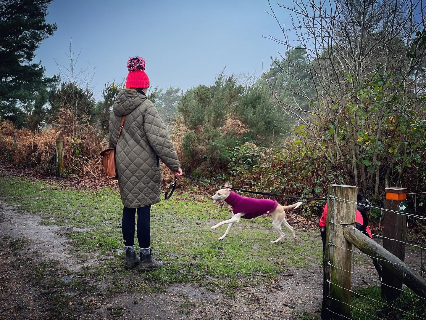
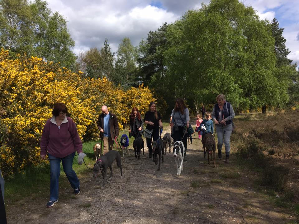
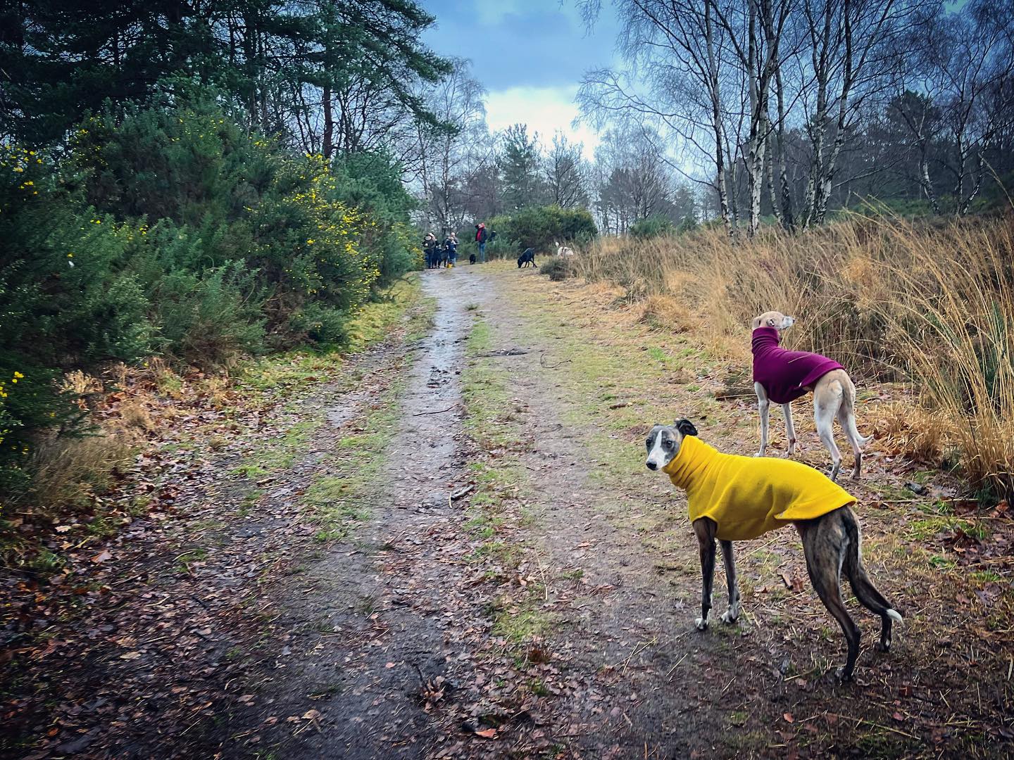
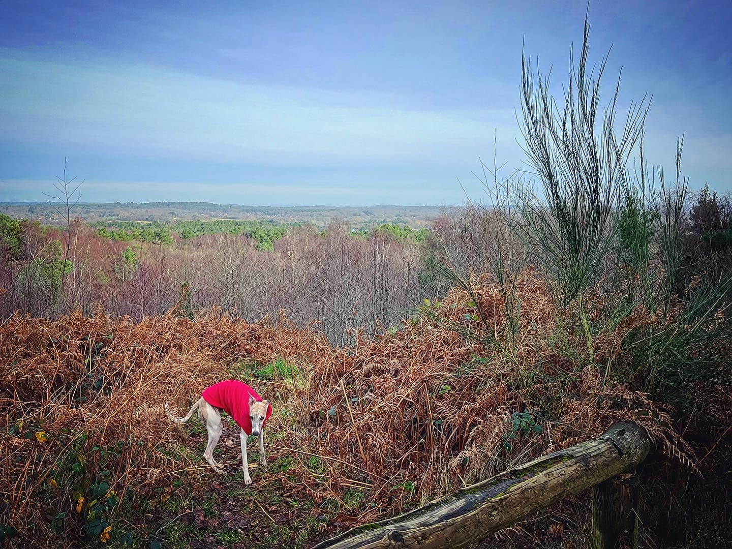
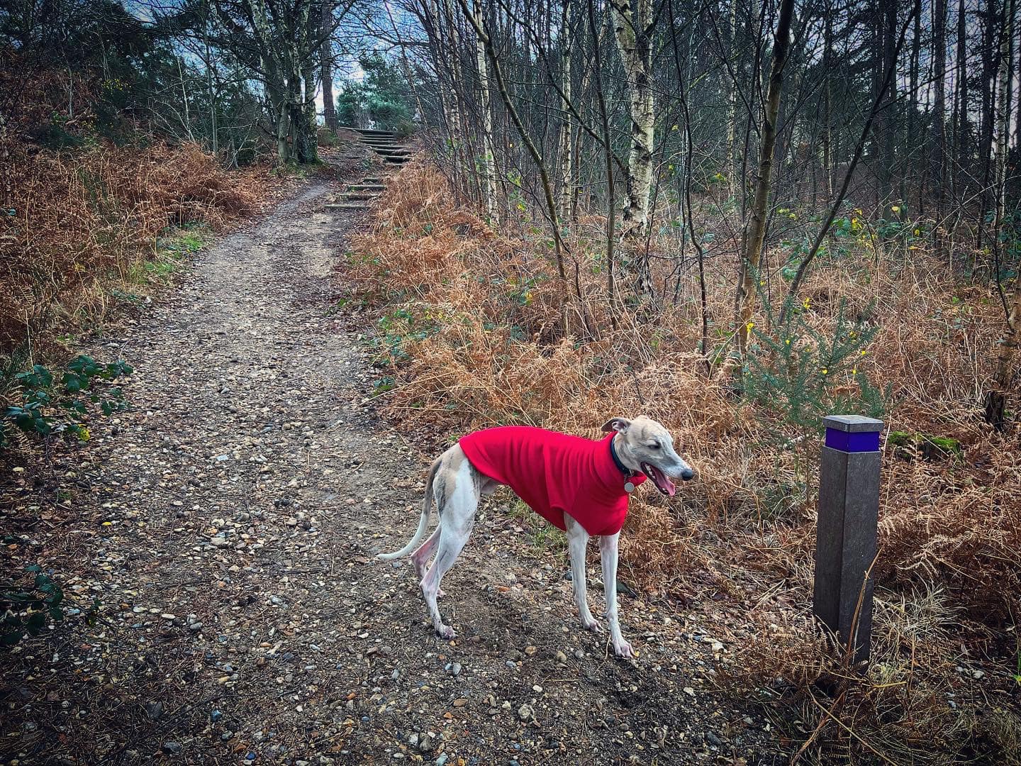
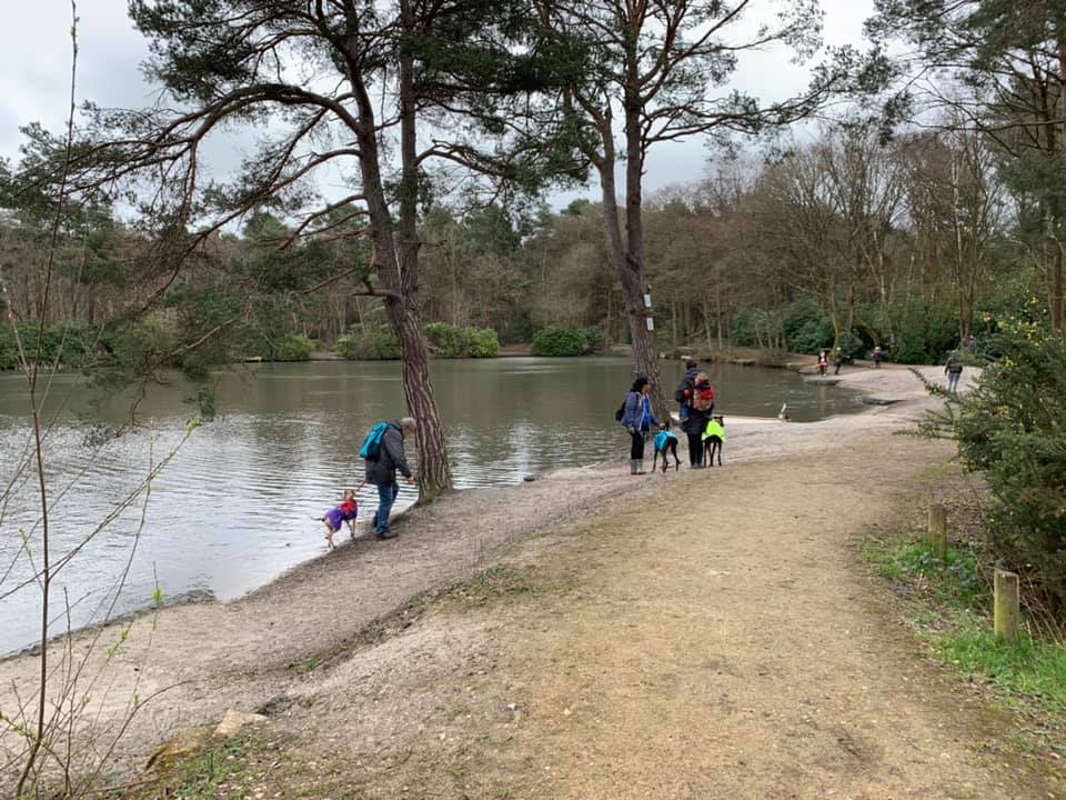
Gallery
Parking
Poo bins?
Self-guided walk
About
Lightwater Country Park is a four times Green Flag accredited park of 59 hectares on the outskirts of Lightwater village next to junction 3 of the M3. It used to be part of Bagshot Heath before the motorway was built and it has a recorded history dating back to Saxon times.
The park is predominantly heathland habitat, but there are also ponds, woodland, meadows and areas of scrub, which are home to a wide variety of wildlife, birds, mammals, plants and insects. The area of heathland within the Country Park has been designated a Site of Special Scientific Interest (SSSI) and is an area of high nature conservation value. It is managed by Surrey Heath Borough Council and part of the Thames Basin Heaths Special Protection Area.
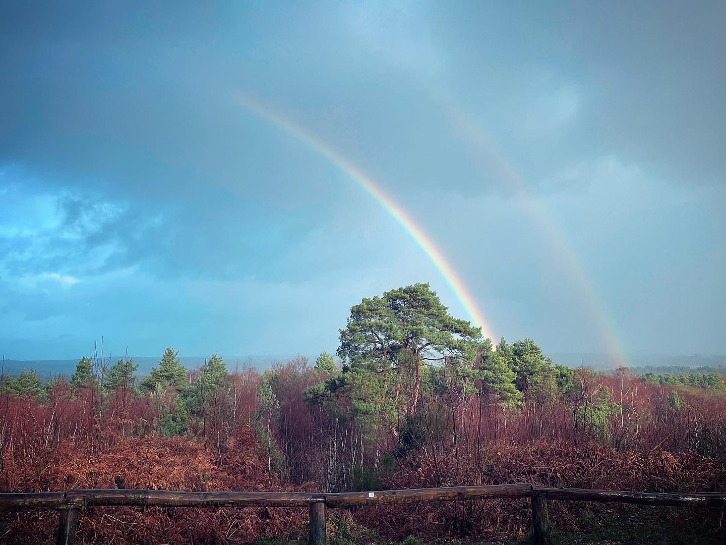
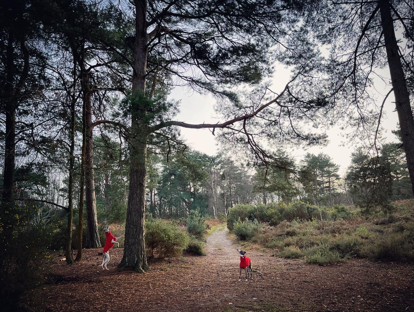
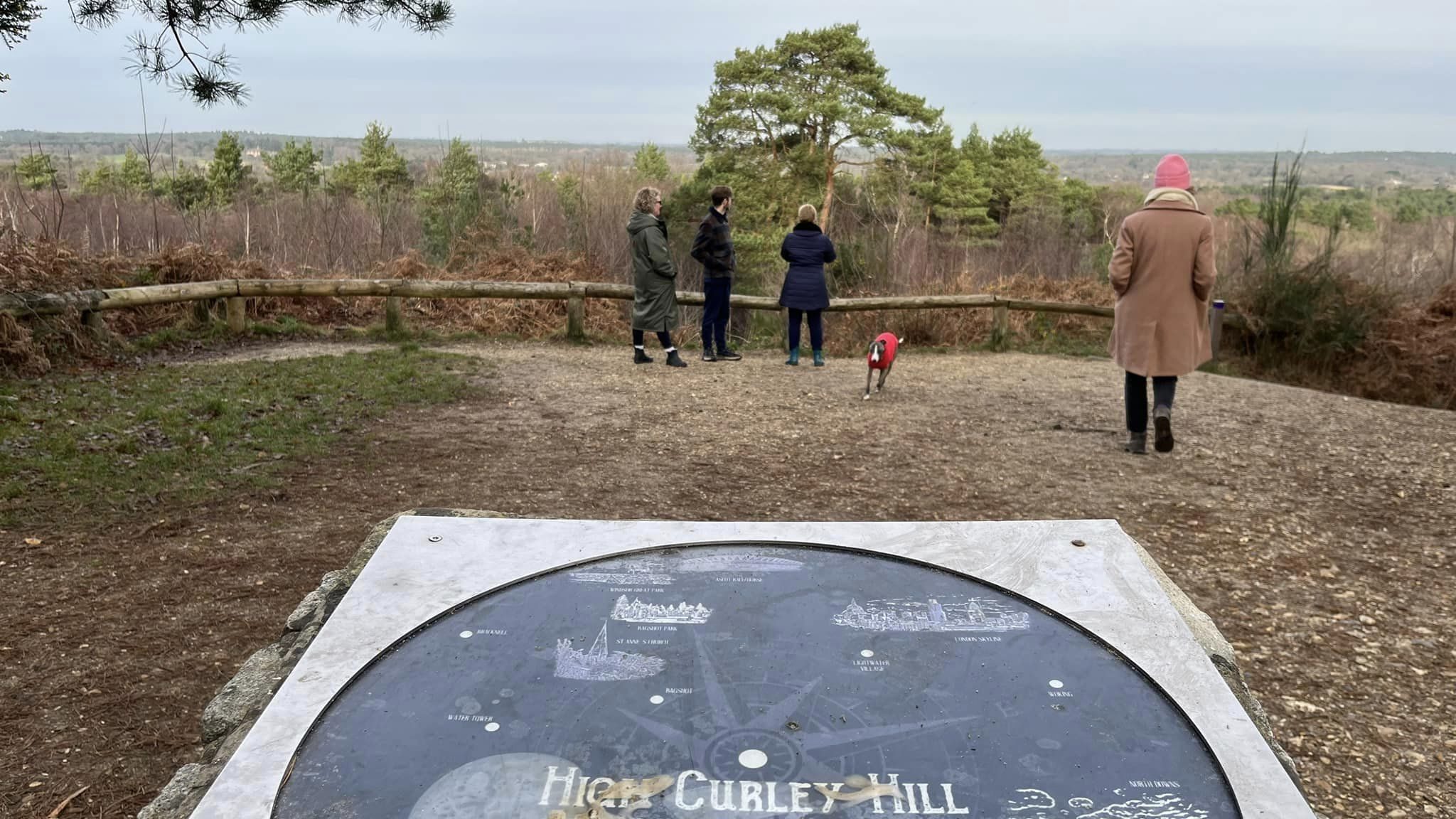
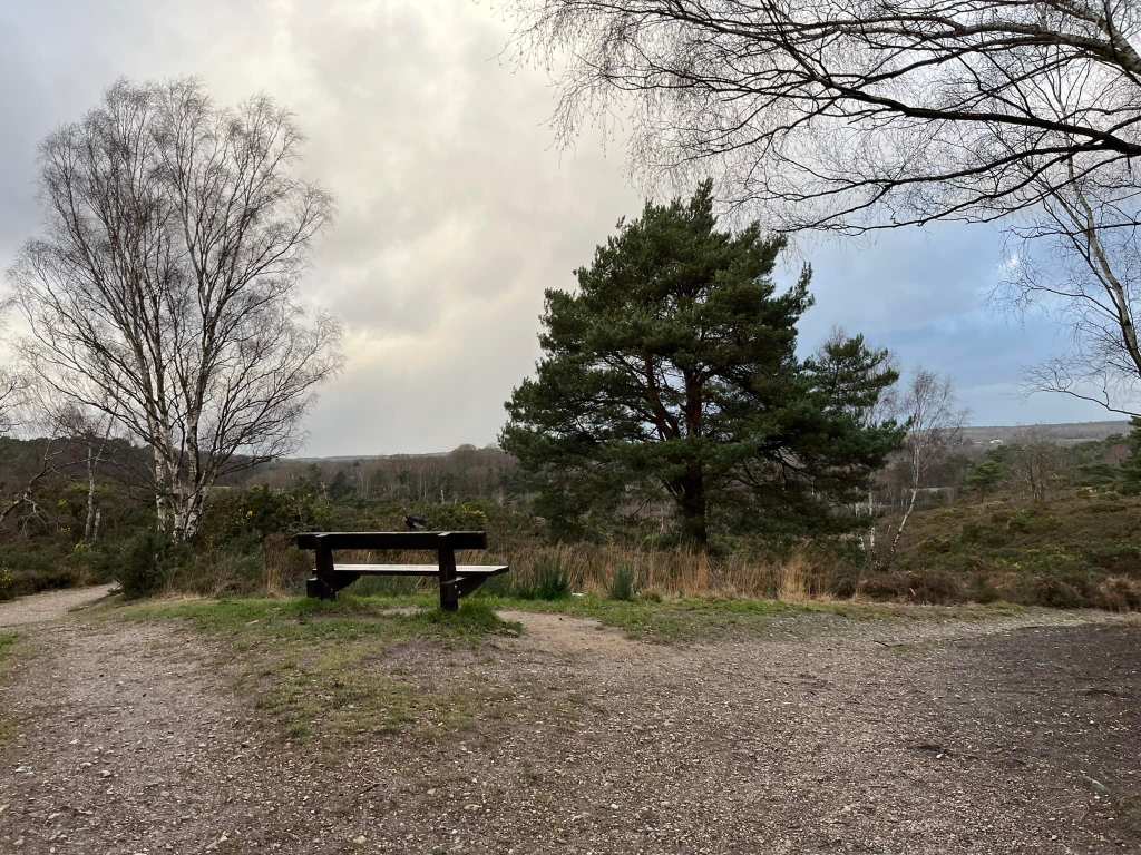
High Curley hill within the park is one of the highest points in Surrey at 129m above sea level. From the top you’ll get great views over Surrey towards Bagshot Park and the London skyline. There is a toposcope, so you know which direction you’re looking in.
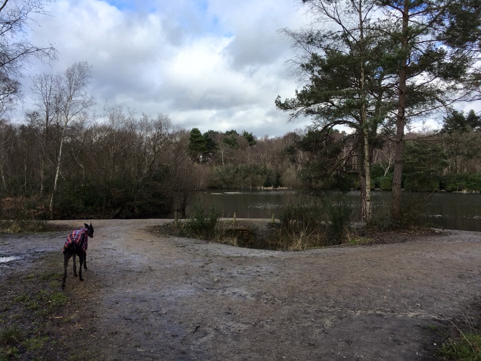
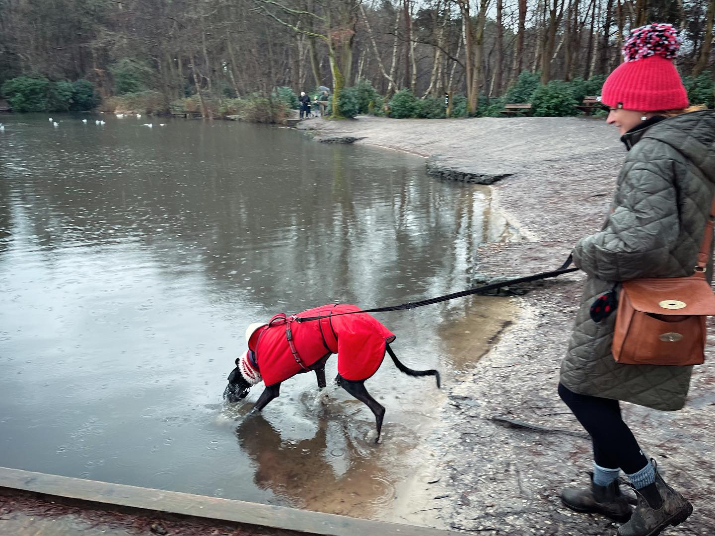
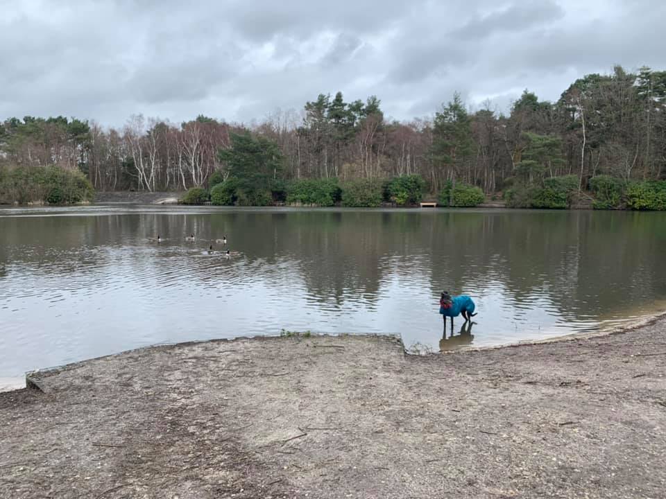
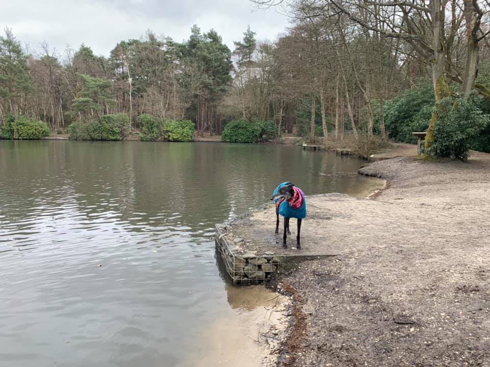
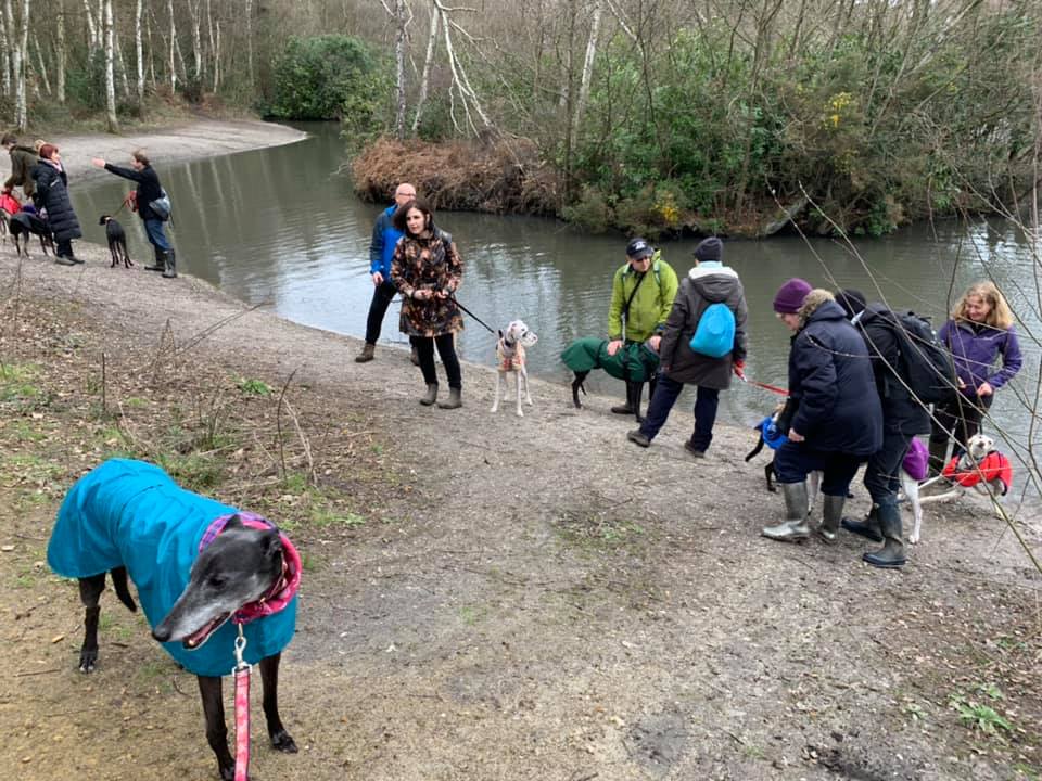
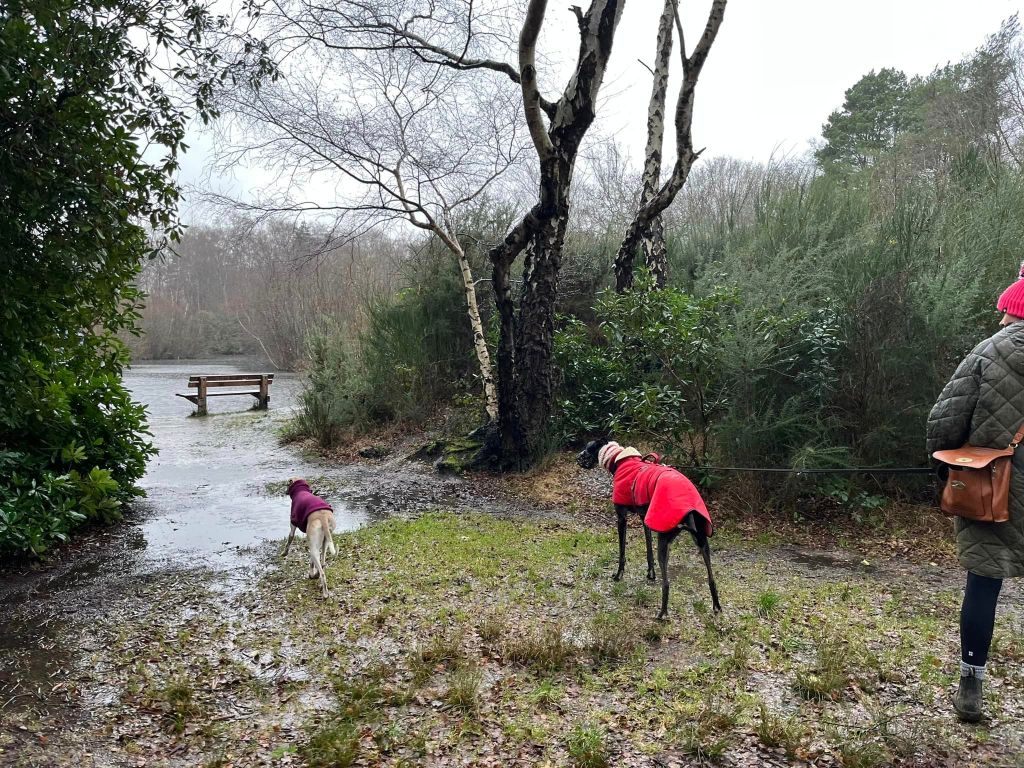
In total, there are three ponds, the largest of which is Hammond Pond. This is also the quietest of the three and is a popular fishing spot. In summer its waterlilies and rhododendrons contribute pops of spectacular colour.
The park also boasts an adventure playground, café, information point, grazing livestock, fishing, an educational centre, and a leisure centre complete with tennis courts, football pitches and a gym.
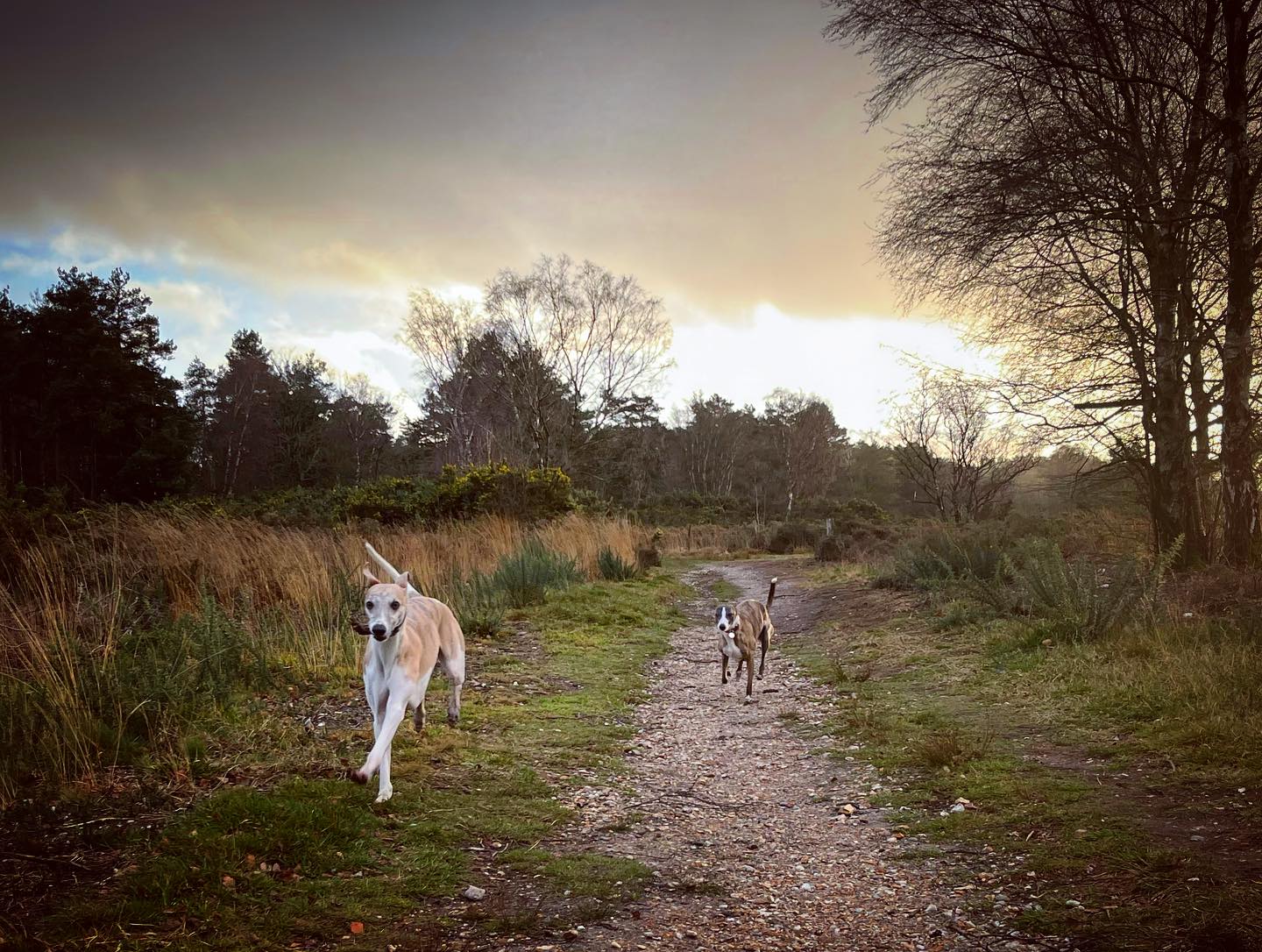
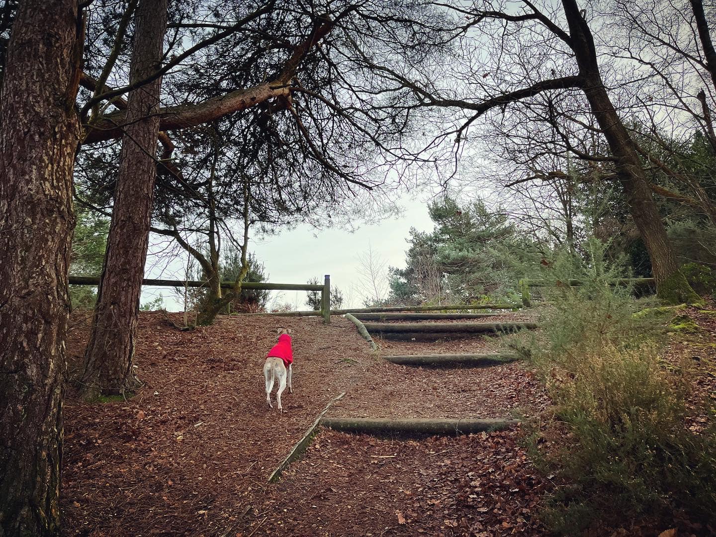
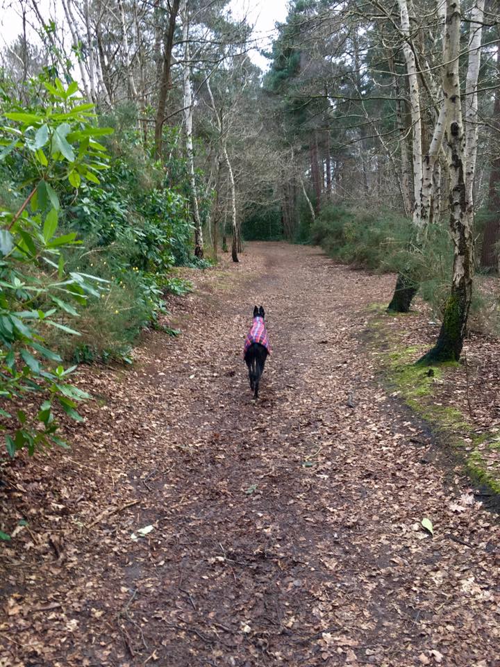
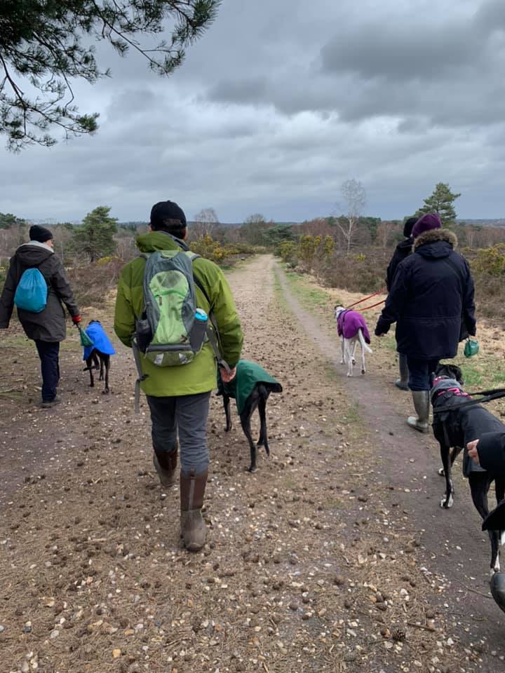
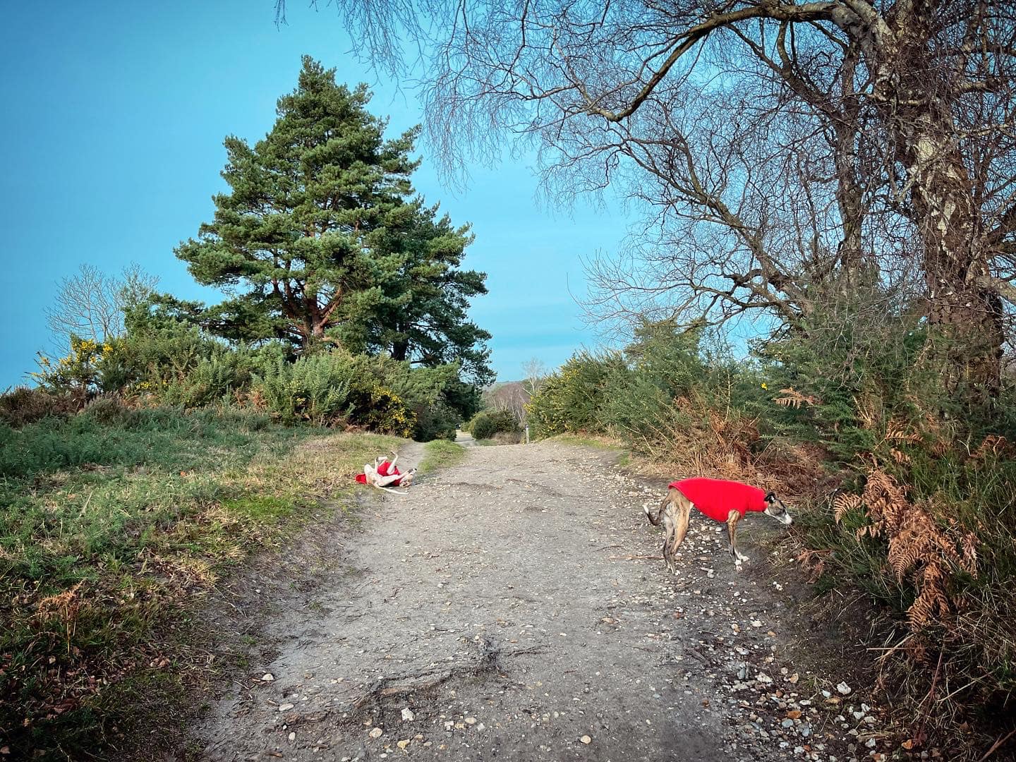
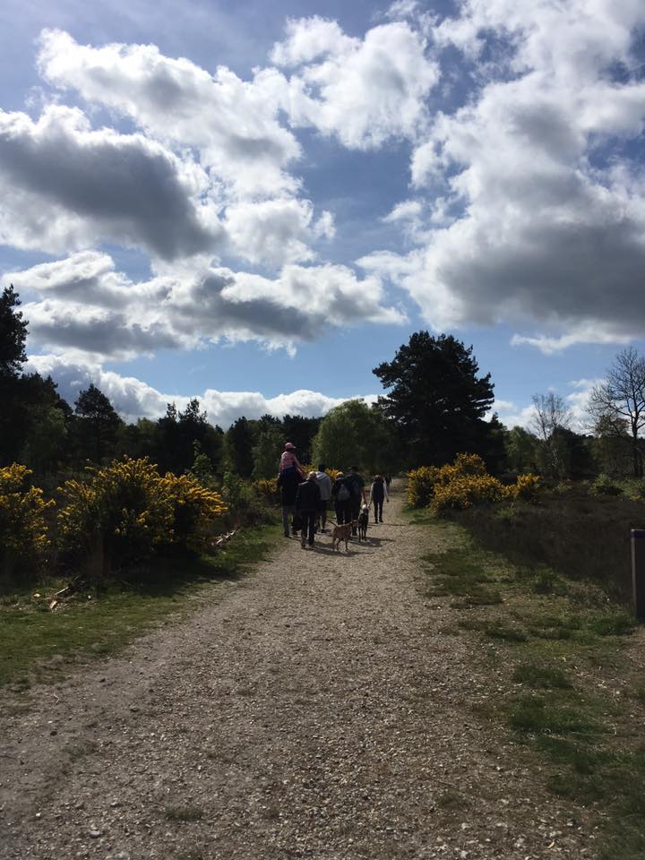
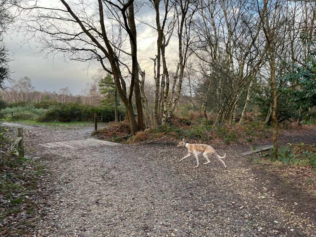
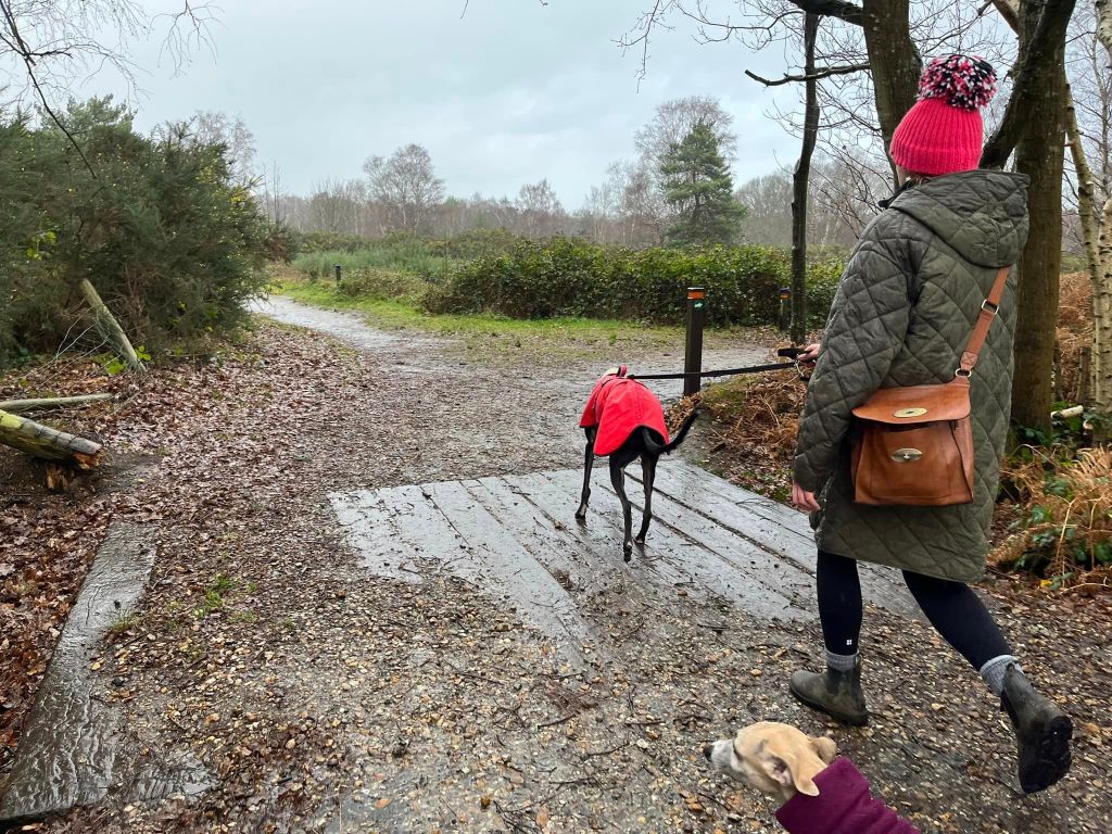
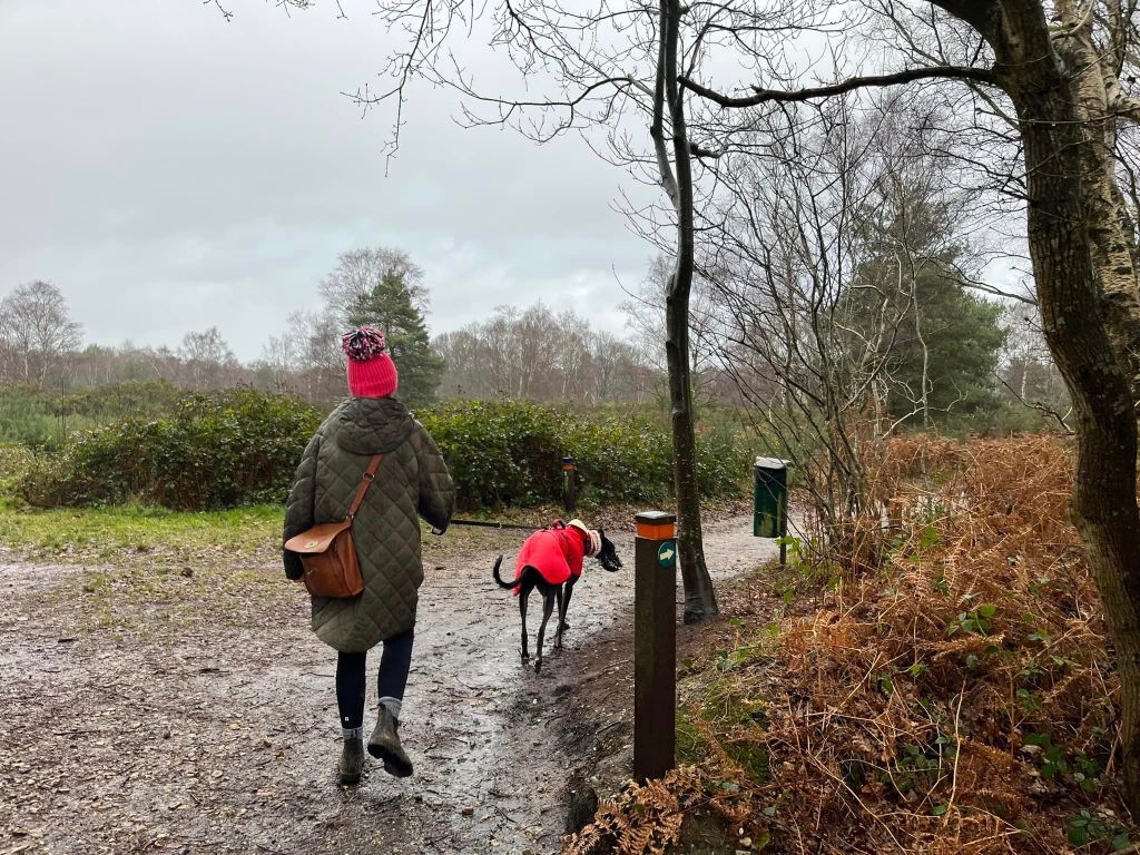
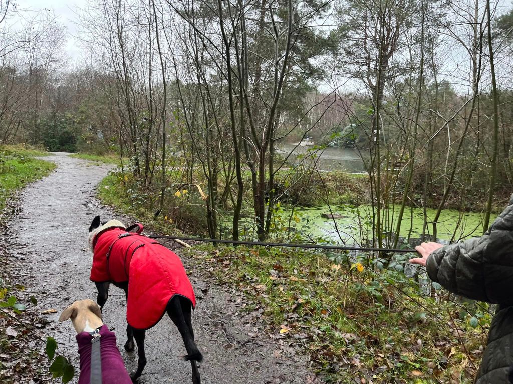
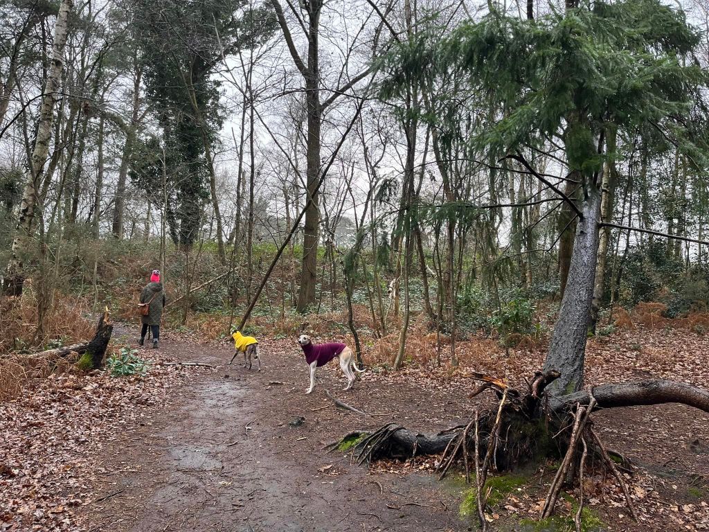
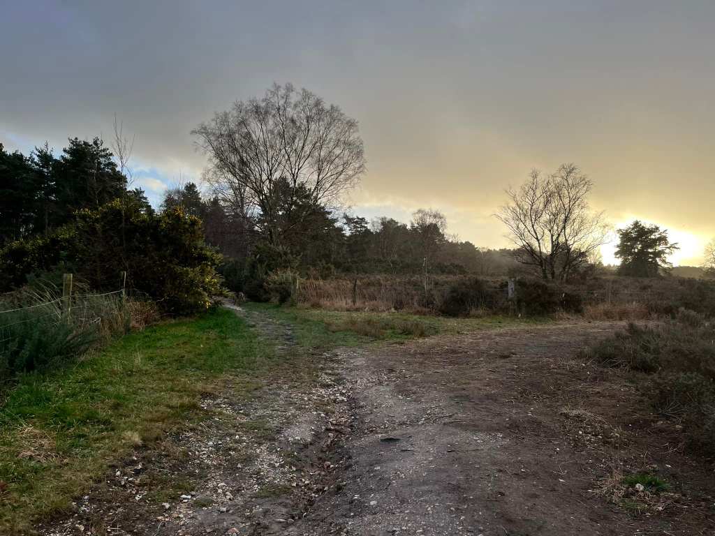
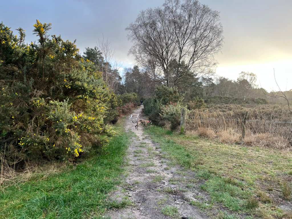
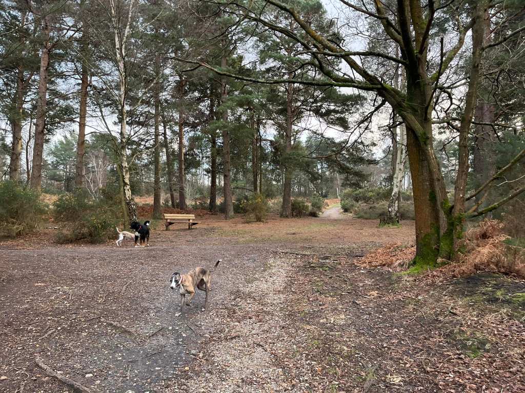
The Gallery: What’s it like here?


Parking
There are a number of car parks dotted around the park, all accessible from the main road that goes through it. The main ones are to the right just after the cafe and down by the leisure centre. The walk on this page goes from the end car park to the left of the leisure centre.
GOOGLEMAPS LINK: https://maps.app.goo.gl/FMJW8b3PBGWmkvrM6
WHAT3WORDS: https://w3w.co/sedated.tradition.screaming
NEAREST POSTCODE: GU18 5RG
Poo bins?
At the car park and around the park.
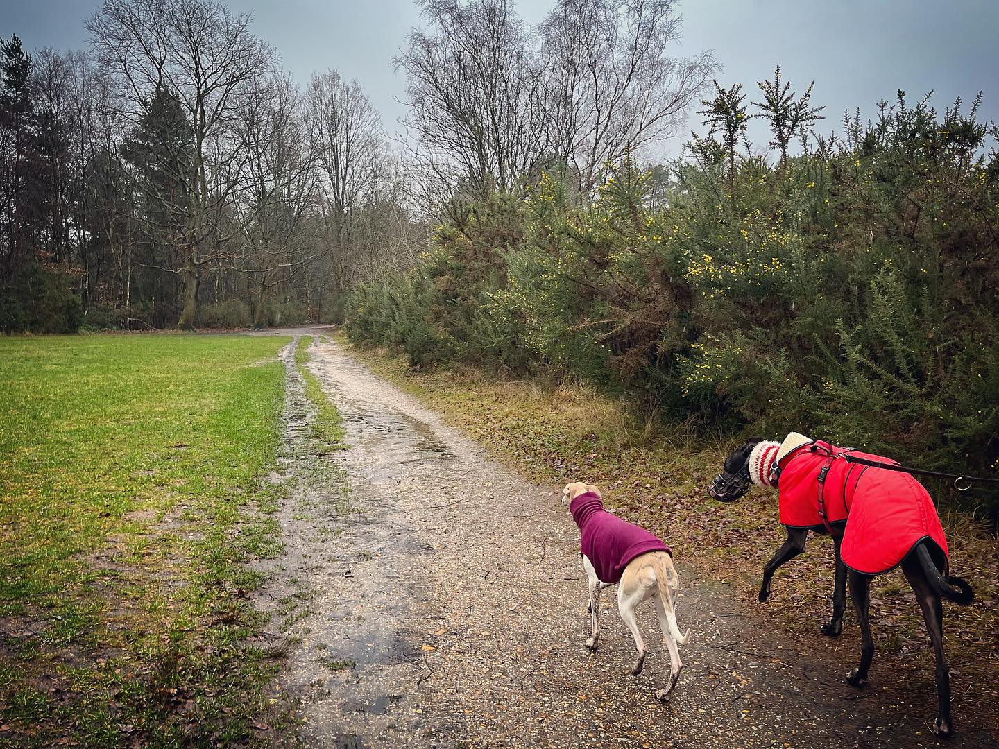
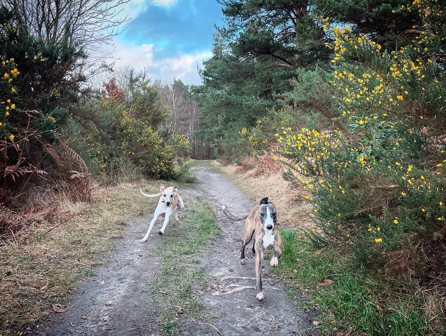
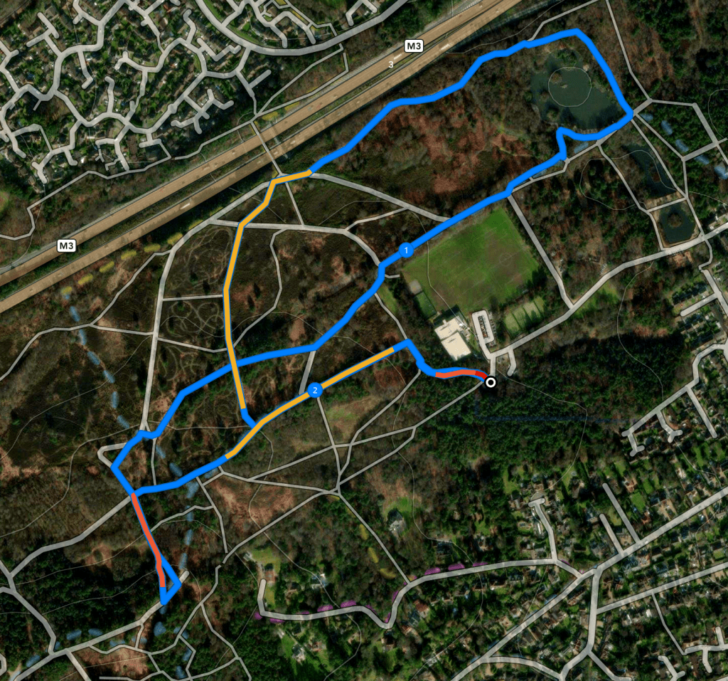
Self-guided walk
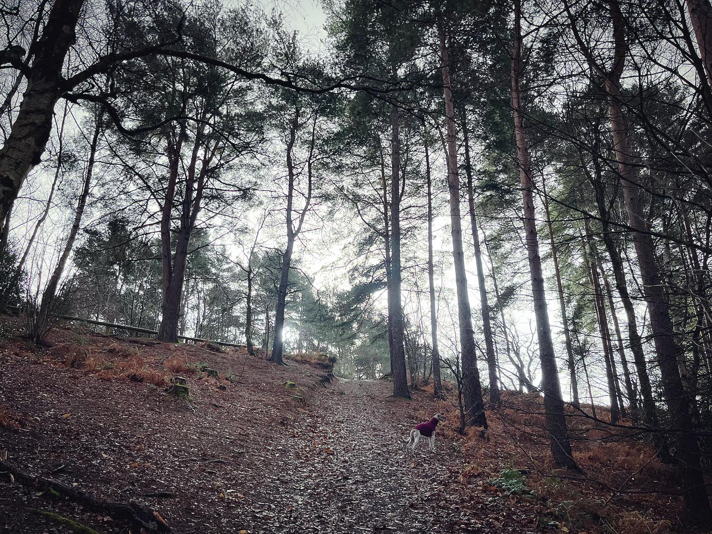
Here is a Footpath app route from the rear car park by the leisure centre. Also on AllTrails. It takes you through the park’s woods and heathlands and includes High Curley hill, from which you can see the London skyline on a clear day, although this is easily omitted if you don’t fancy the steep slopes. There are three ponds in the park, but this route only takes in the largest – there are wild birds on all three but more on the smaller ponds and I don’t feel it’s worth winding my dogs up enough to include them.
Length: approximately 2.2 miles/3.5 km
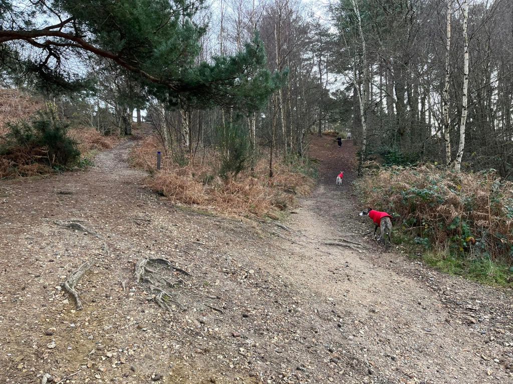
Terrain: A mix of gravel and mud paths. This park has its ups and downs, and there are steps for the High Curley hill summit if you prefer them to the slope – they are steep though. Around the ponds can get very muddy in the winter.
Stiles/kissing gates? No stiles or kissing gates
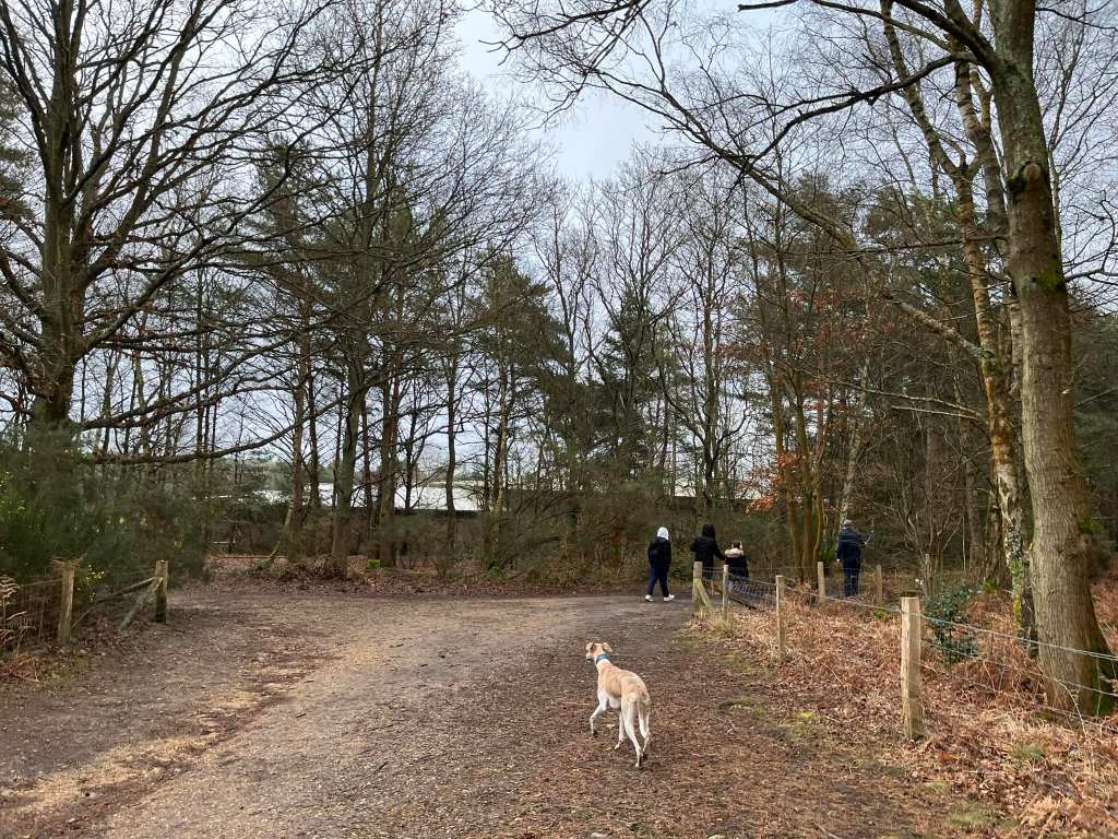
Drive into the park and follow the road to the far end car park to the left of the leisure centre – you’ll pass the cafe on your right on the way. Park up in the car park and, to get this walk started, take the path next to the vehicle gate.

This path goes upslope and curves to the right, before straightening out. Follow it ahead to the T-junction at the fence and turn left.
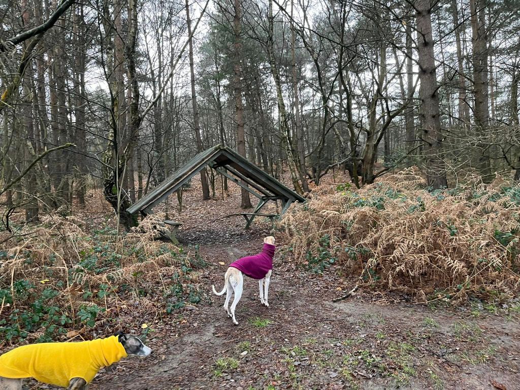
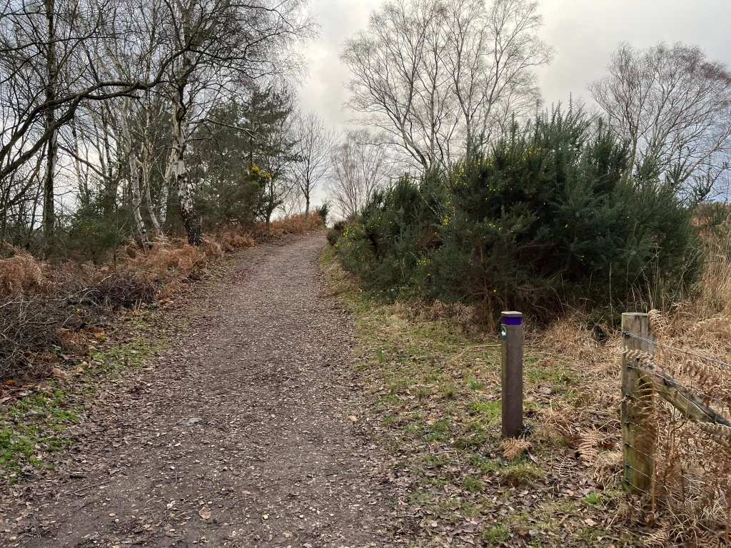
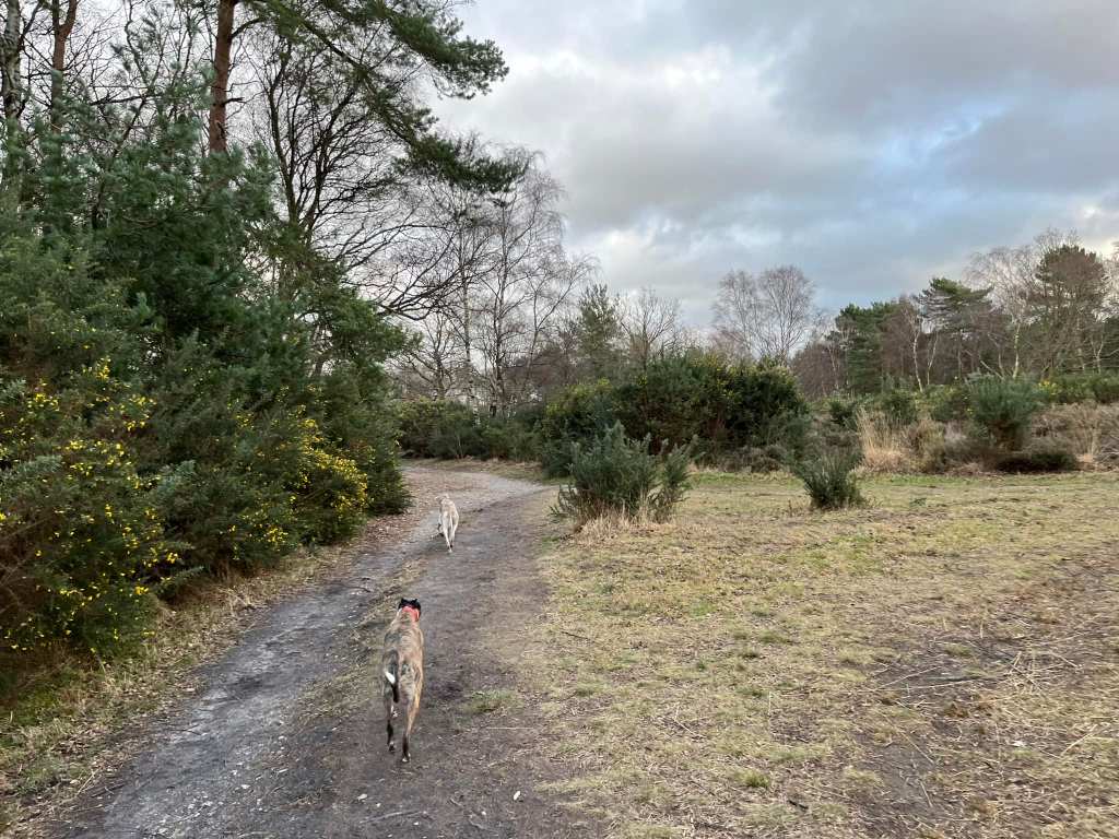
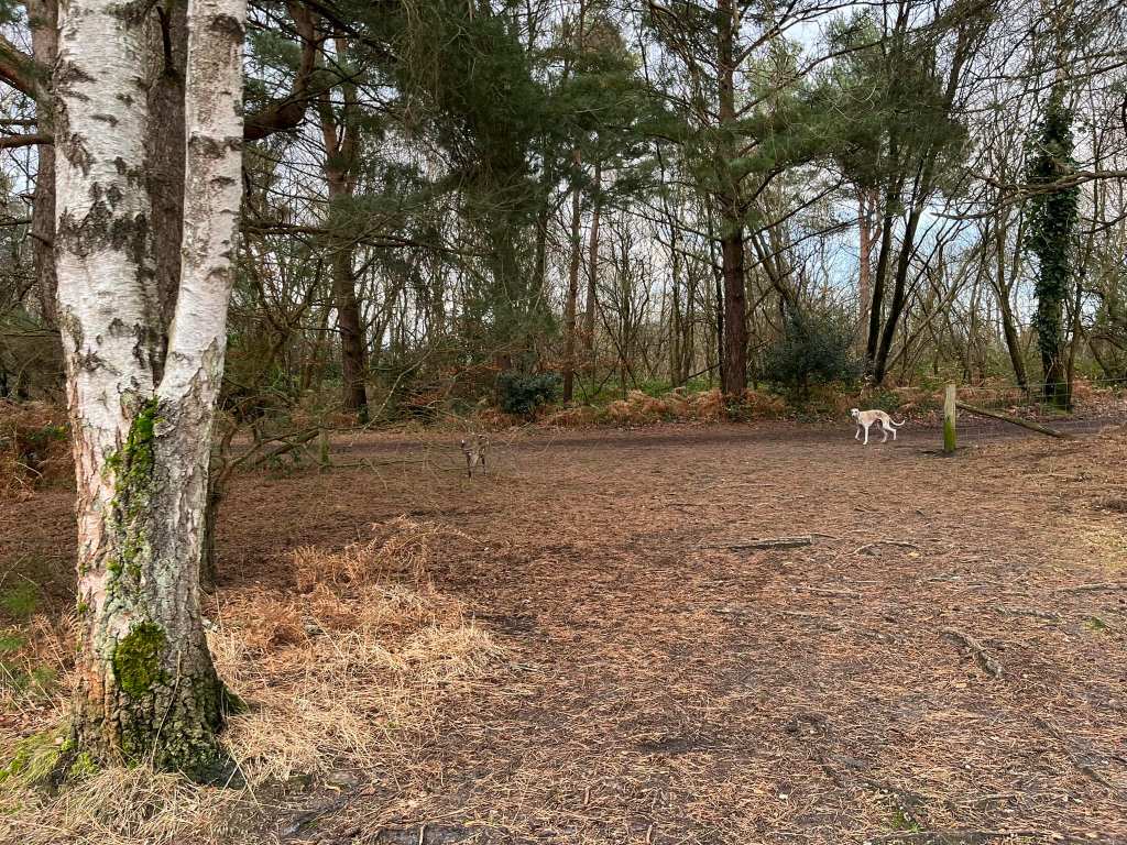
Walk along this path a long way, ignoring any paths off left or right. You’ll pass a red poo bin on the right and, a little later on the left, a shelter with a couple of benches in it.
A little way after this shelter, you’ll reach a large cross paths, where the paths left and right both ascend. At this point, you can either turn left to go up Curley Hill, or you can miss the hill out and turn right. If you turn right, jump down to the *.
To go up Curley Hill, turn left at this large cross paths. When you get to the fork, you can either take the left side and use the steps to go up the hill, or there is a slope up on the right – whatever is your preference.

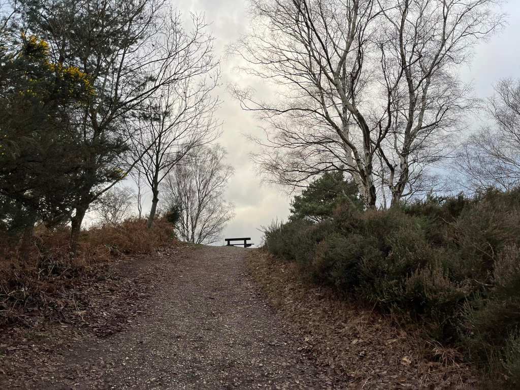
At the top, turn left and walk a little way to the viewpoint.
When you’re done at the viewpoint, about turn and head back the way you came. You need to go back down the hill and, again, you have the option of the steps or the slope. Choose whichever you prefer and head back down to the large crosspaths.
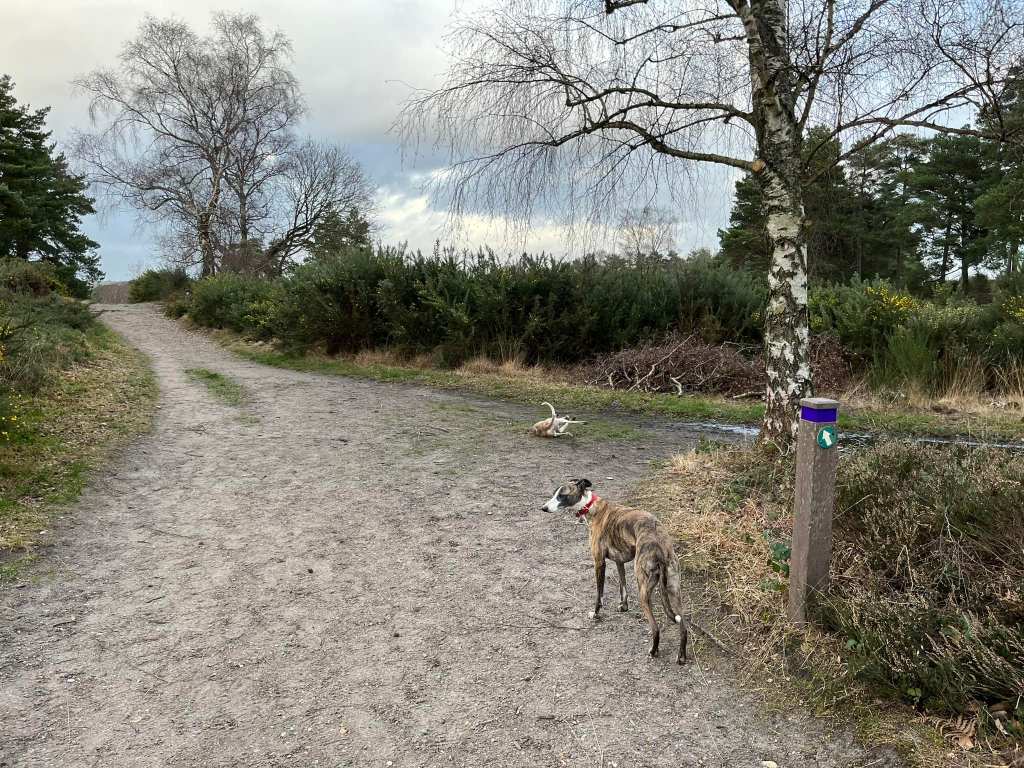
At those crosspaths, go straight across and *pass the small purple marker post to go up the smaller slope to the bench at the top of this little hill. The road in the distance is the M3.
At the fork at the bench, you can go left or right, it doesn’t matter as they come together but for the sake of this description, bear right and go down the slope towards another small purple marker post.
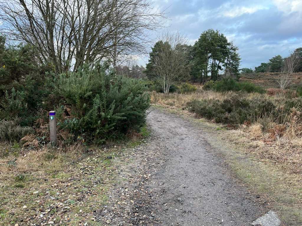
Follow round to the left and you get to another purple marker. The marker has an arrow on it pointing to the left. You want to go right here.
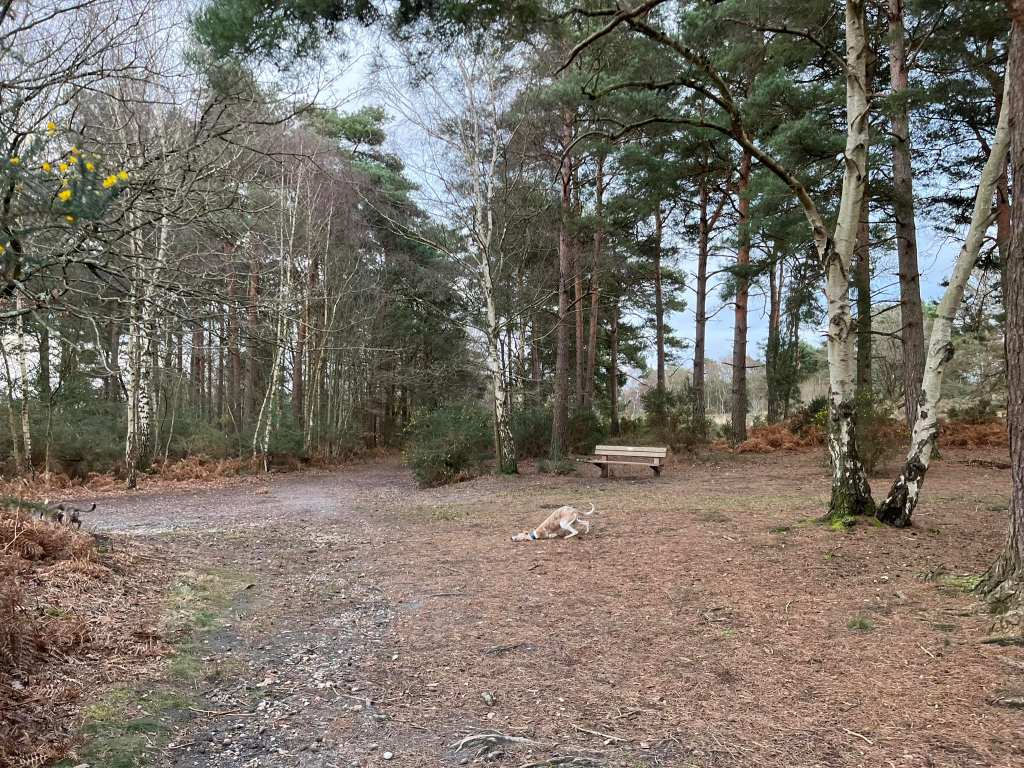
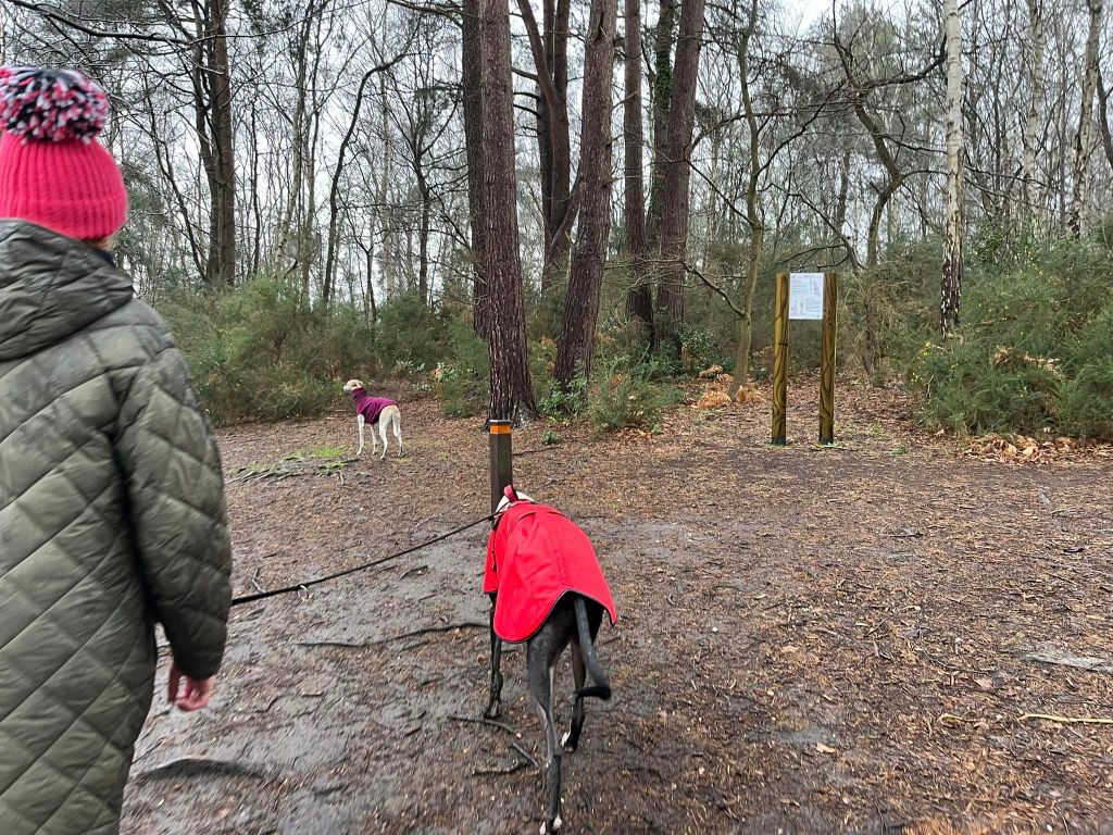
Walk a short way and then turn left. Now follow this path all the way to its end, ignoring any paths off to the left and right. This will include you going straight ahead through a wide crosspaths with two silver birch trees and a bench slightly to the right. As I said, just keep going ahead.
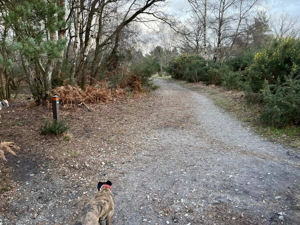
A little further on, the path will bend slightly to the left where a path comes in from the right – stay on the main path here and go past the orange marker post.
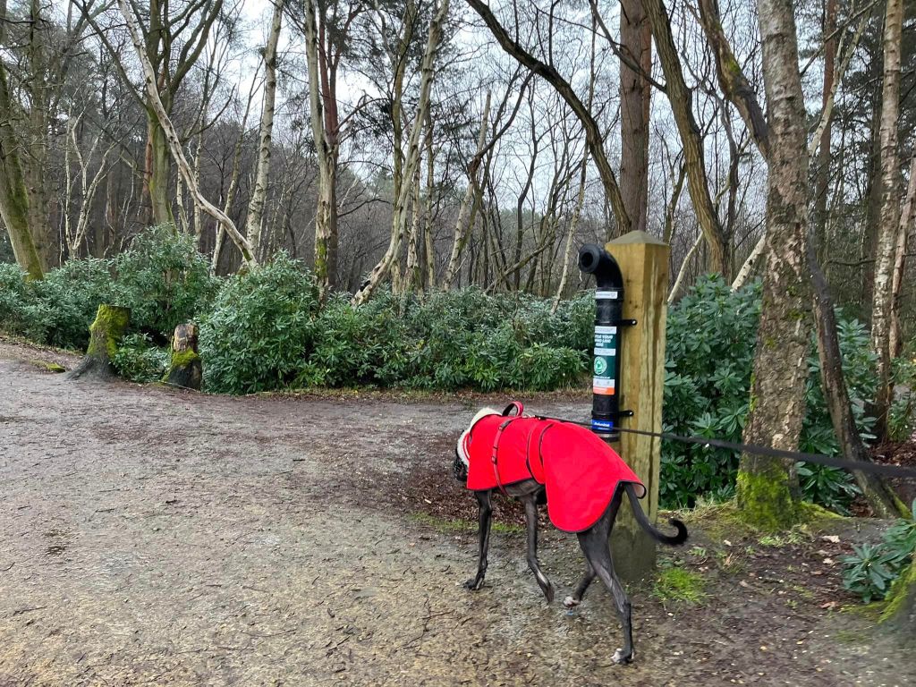
Keep going and pass an area of grass to the right of the path. Then you come to a couple of plank bridges – one small two-plank wide one off to the right and a much wider one to the left. Bear left and cross the wider bridge, then turn right immediately at the orange marker post and green poo bin.
Walk down this path, passing a post on the left with the number 7 on it.
When you get to a cross paths where the way to the right is a plank bridge into a playing field, continue straight ahead. Keep going straight on when you come to a plank bridge to your right that leads to a car park.
The main path will then bear slightly right by an orange/purple marker and then fork left by another orange/purple marker to skirt to the left of a small pond on your way to the big Hammond Pond.
Head down to the water’s edge and turn right to walk along the bank, keeping the water on your left-hand side.

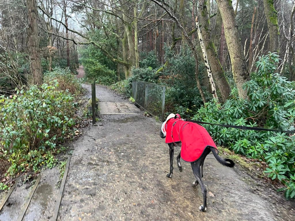
Pass a fishing line recycling point (which looks like a bit of drain pipe) on the right and continue ahead to cross a small bridge with metal railings.
At the end of the pond at a large crosspaths, turn left and walk along the pond, edged by rhododendron bushes with gaps here and there for fishing. At the last gap to the left, there is a bench facing the pond and the path ends to the right by an orange marker post and heads away from the water.
Follow this upslope, passing an uprooted tree.
The path is windy and narrow as it continues to ascend. It can be wet and muddy in the winter. Keep slopping on, following it as it winds through brambles and trees and eventually comes to a T-junction with a main path. Turn left.

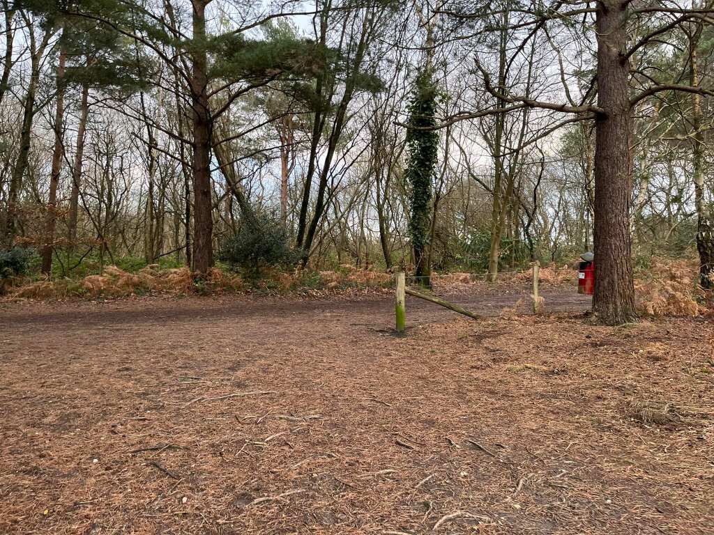
This path is a perimeter path and the M3 is over to the right so it’s not the most peaceful path in the park. Follow it ahead, ignoring any paths off until you get to a clearing where a number of paths come together. There’s a red poo bin to the right and a closed off exit, which used to take you to a footbridge over the M3. The bridge is no longer there.

Keep going a few paces further and you have two options ahead of you – one that continues straight ahead and one that bears over to the left. Take the left fork.

Follow this path ahead through the heathland, ignoring paths to the left and right, including a wide crosspaths. When you reach the fence, bear left to take the more sheltered path through the gorse bushes.
Follow this path ahead, ignoring a path to the right and you’ll come to a wide crosspaths with a bench ahead and silver birch trees. You may recognise this from earlier. Cross straight ahead here, keeping the bench on your left and the silver birch trees on your right.
This path goes upslope through heathland and gorse. Follow it all the way to the end, where you go through a wide gap in the fence and there is a red poo bin to the right.
Turn left and follow this path straight along until you reach the end of the fence behind the leisure centre. Turn right at the end of the fence, then follow this path down and curve to the left and then right and pass to the side of the vehicle gate to return to the car park.

Leave a comment