
About
Gallery
Parking
Poo bins?
Self-guided walk
About
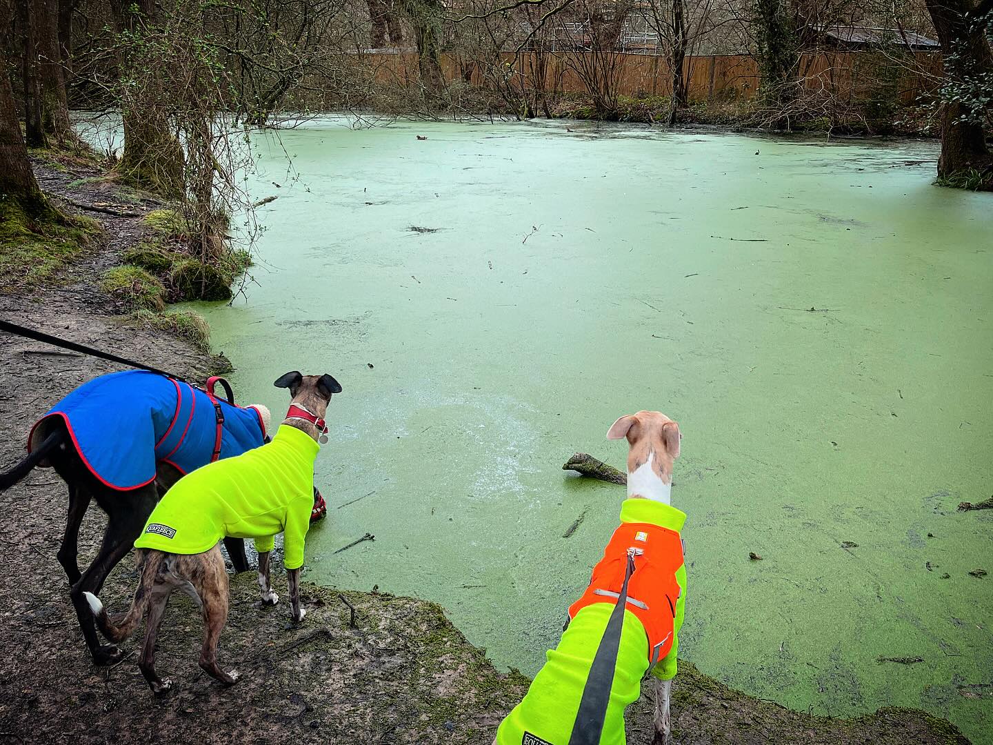
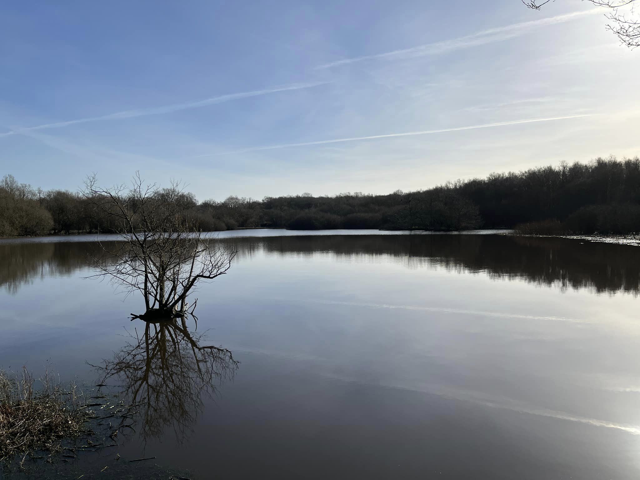
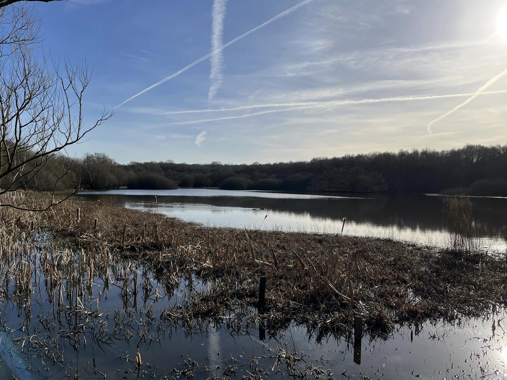
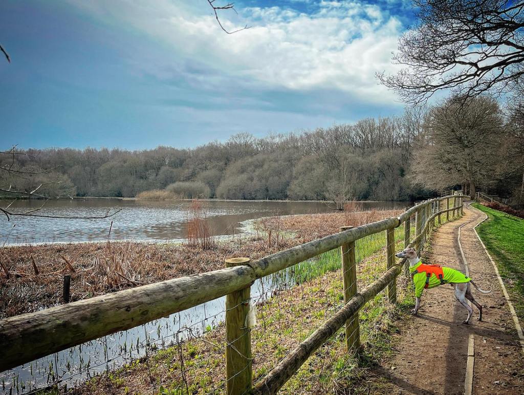
Epsom Common is a 177.4-hectare (438-acre) local nature reserve, which borders the Corporation of London owned Ashtead Common*. Its recorded history goes back to Saxon times, when England was a feudal agricultural society and the local people (commoners) of Epsom (then) village would use the common land to graze animals and collect fire wood. Back then, this common land was owned by the Abbey of Chertsey, which is long gone – a victim of Henry VIII’s dissolution of the monasteries – but it was the monks that constructed the two ponds – the Stew Pond and the larger Great Pond. These were probably stocked with carp and other fish to provide food for the monks and their guests. Today, while you can get a day ticket to fish on the Stew Pond, the Great Pond is protected and managed as a wildlife reserve for pond life, amphibians and wildfowl.
During the nineteenth century, Epsom Common was threatened by housing developments but the local townspeople protested and a public inquiry quashed those plans. In 1935, the then Epsom Urban District Council purchased the land and Epsom Council still owns the site today.
Over the last century, the landscape has evolved due to changing lifestyles. People no longer own cattle, goats or pigs, and grazing effectively stopped in the 1930s. In the 1940s, the common was ploughed to grow crops to support the war effort but results were poor. Without grazing animals to keep the area in check, there has been a natural ‘woodland progression’ to scrub, then birch, then oak.
From 1997, cattle were reintroduced on a seasonal basis to help control and manage scrub encroachment and improve biodiversity. More information about the grazing project is here – there are some pretty cool old photos showing how open/relatively tree-less the area was in the 1950s and it’s quite striking how fast the woodland has taken over.
The nature conservation value of Epsom Common is recognised by Natural England, with it designated as a Site of Special Scientific Interest (SSSI) in the 1950s, and in 2001 the common was also designated a local nature reserve -the largest in Surrey.
*If you like this walk, why not try out the Walks with Rena Ashtead Common walk?
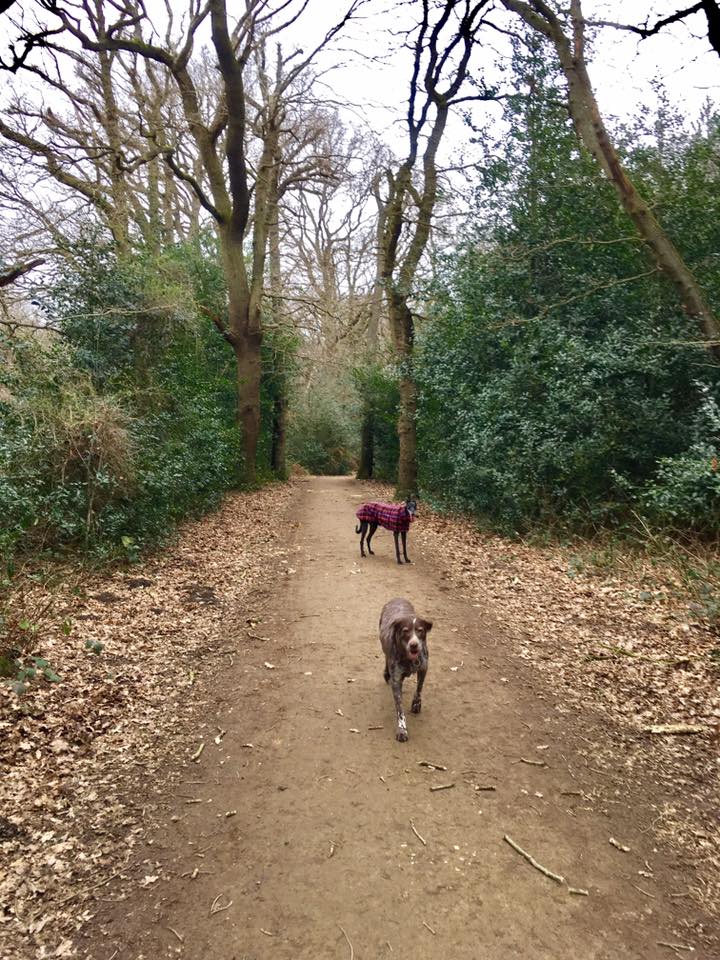
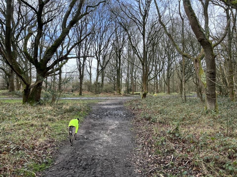
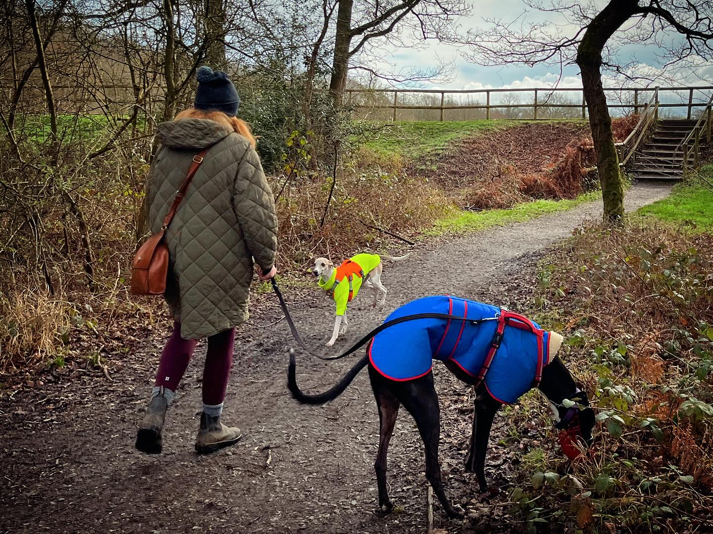
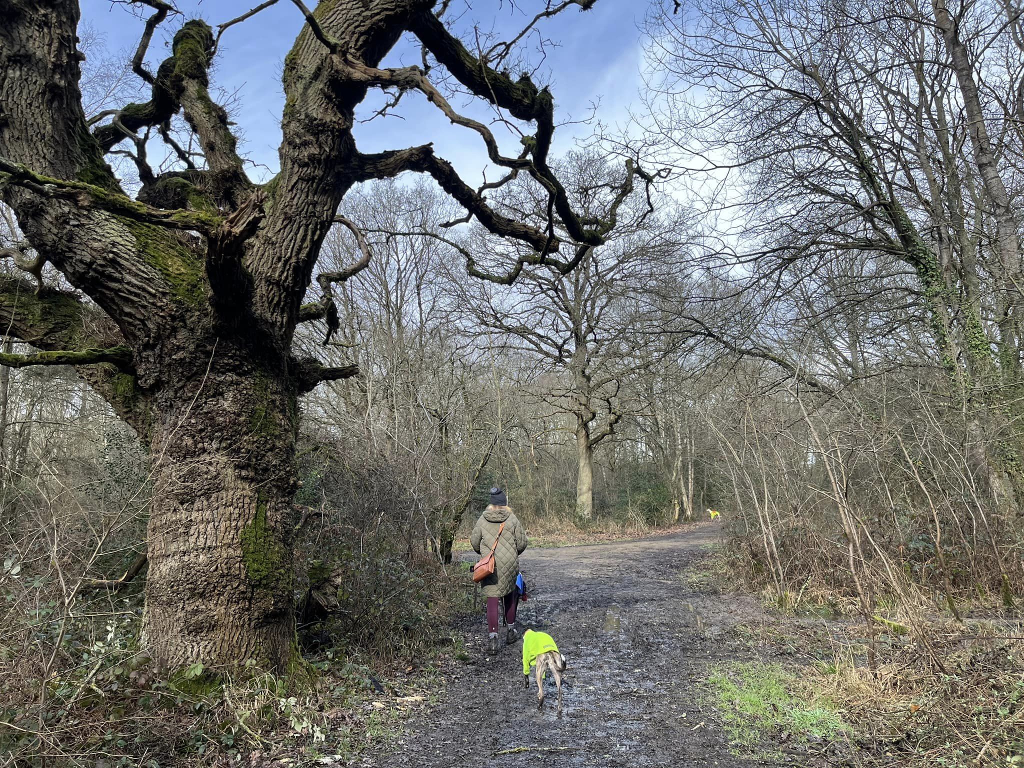
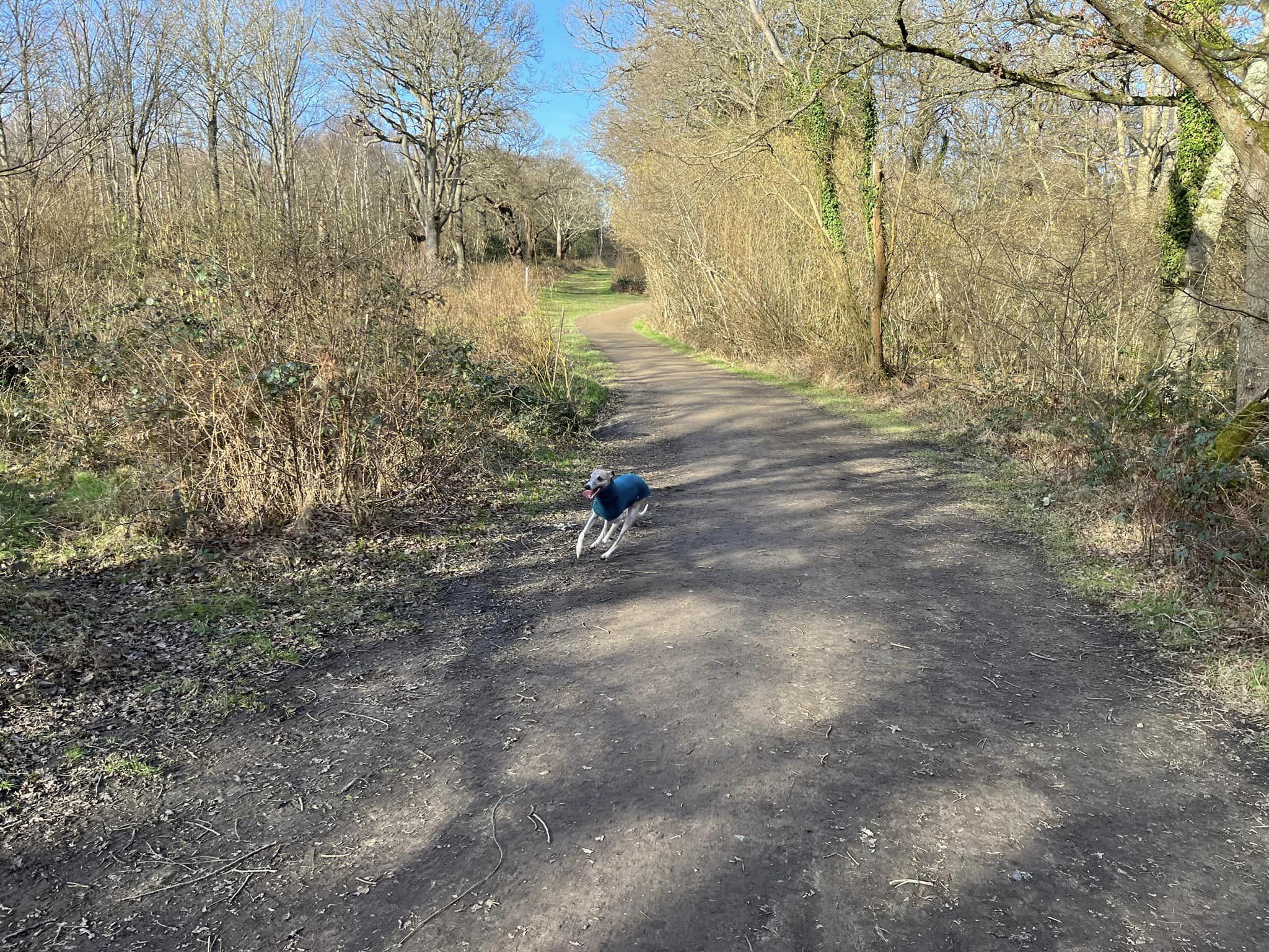
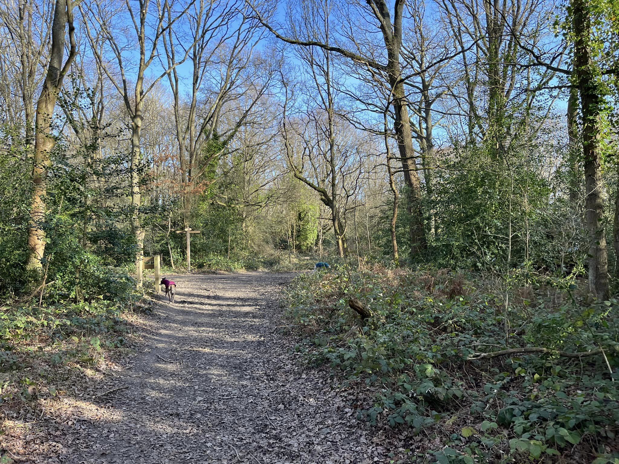
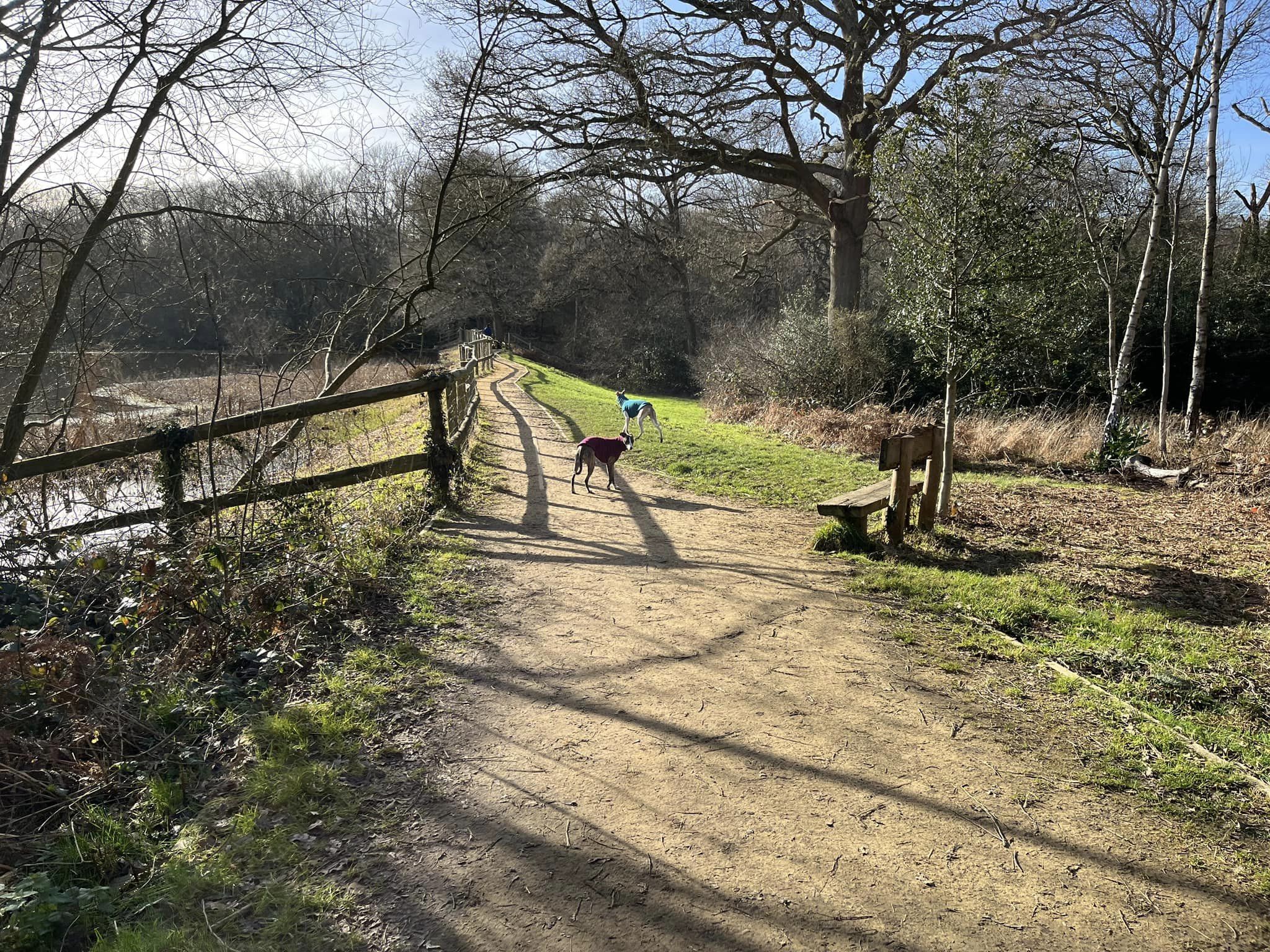
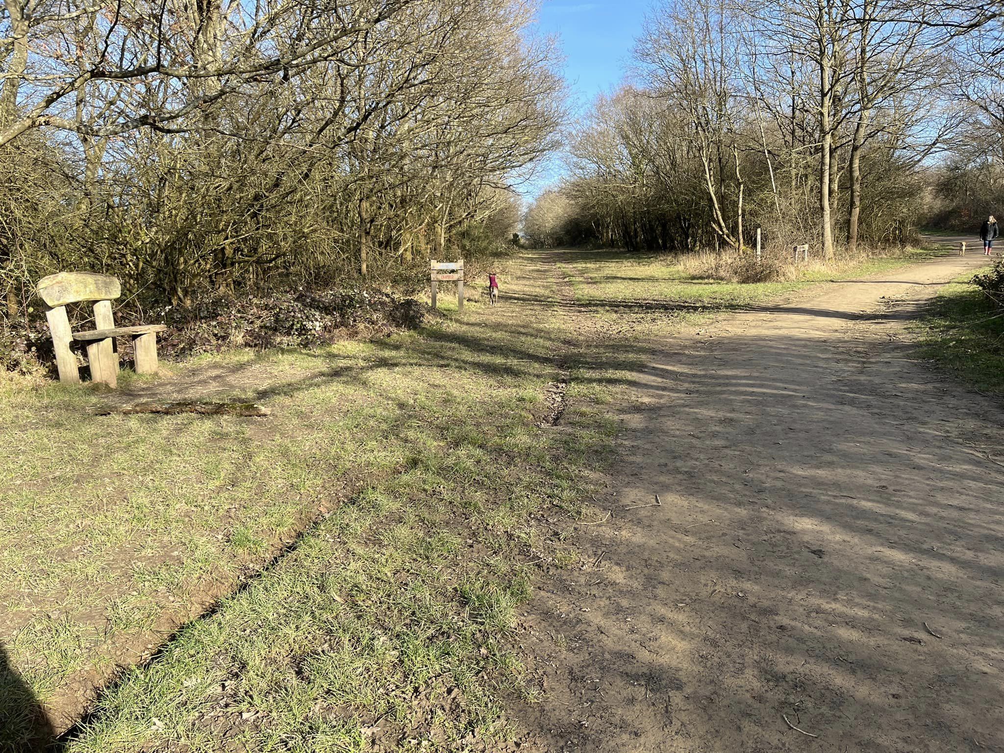
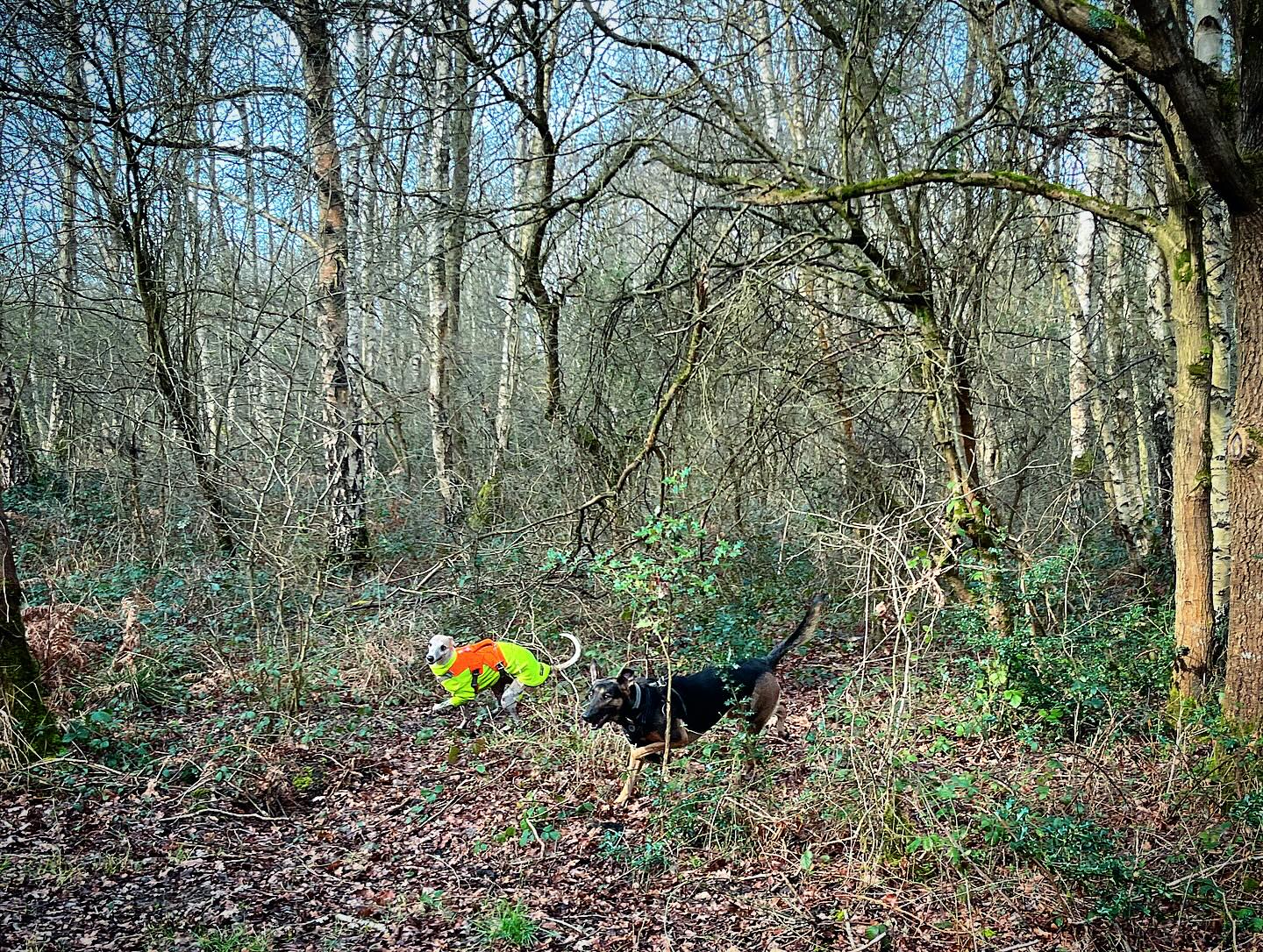
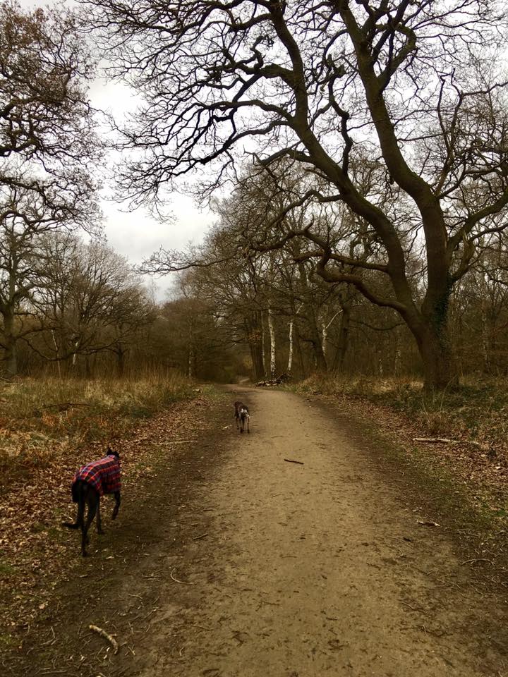
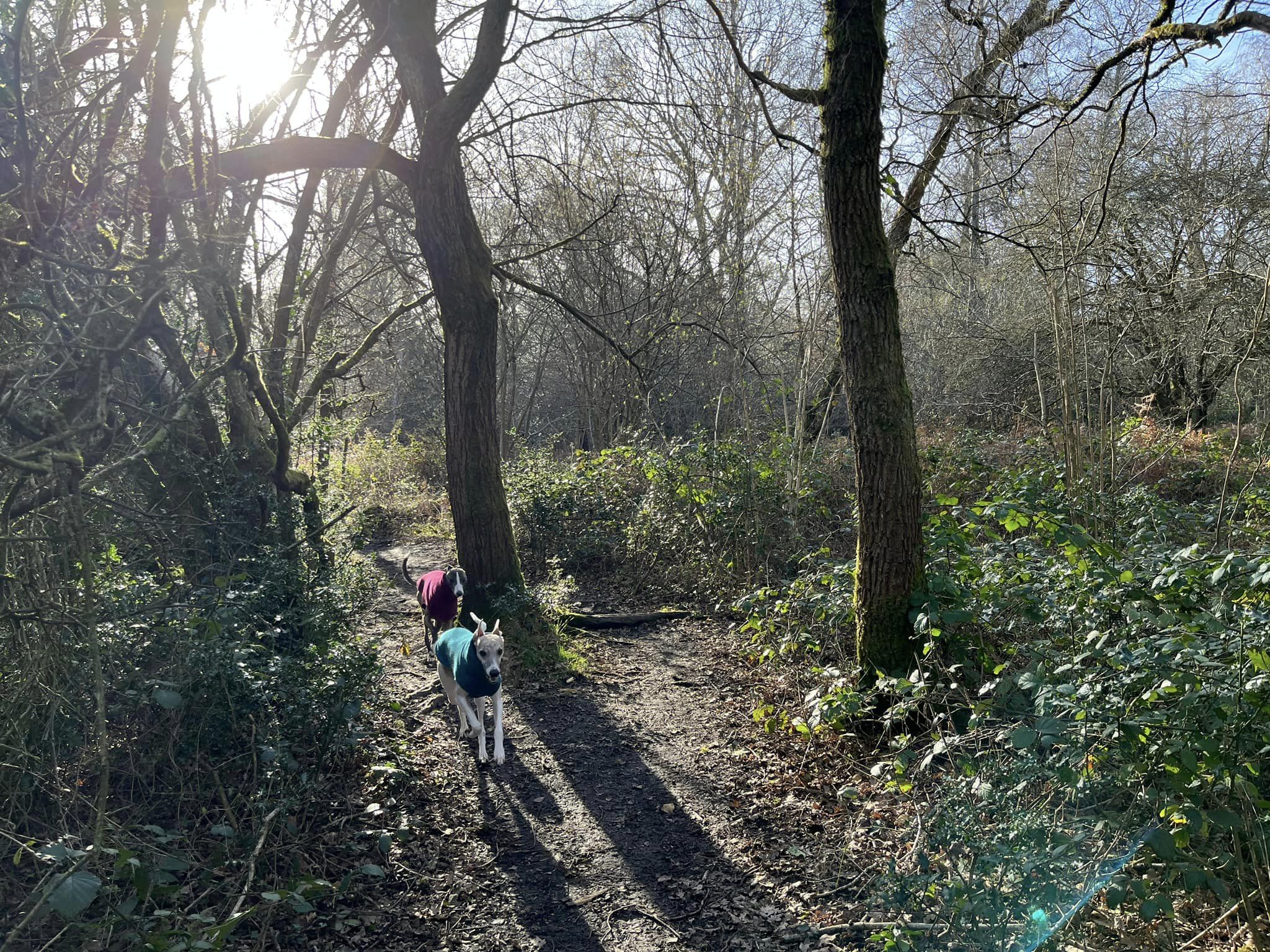
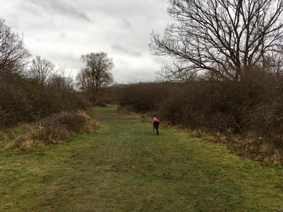
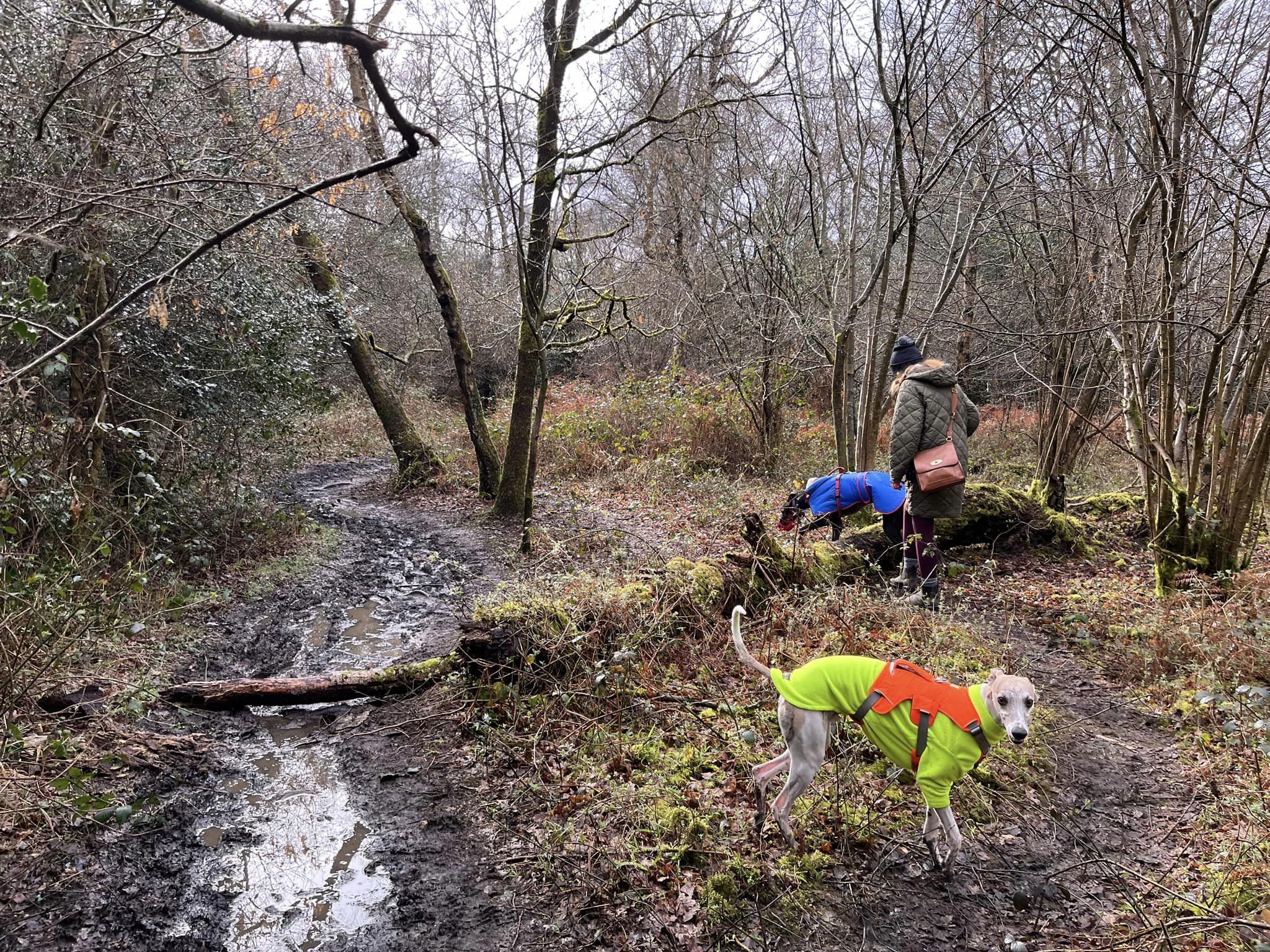
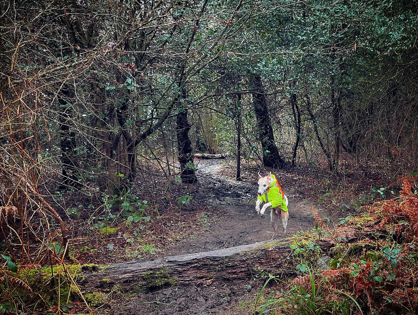
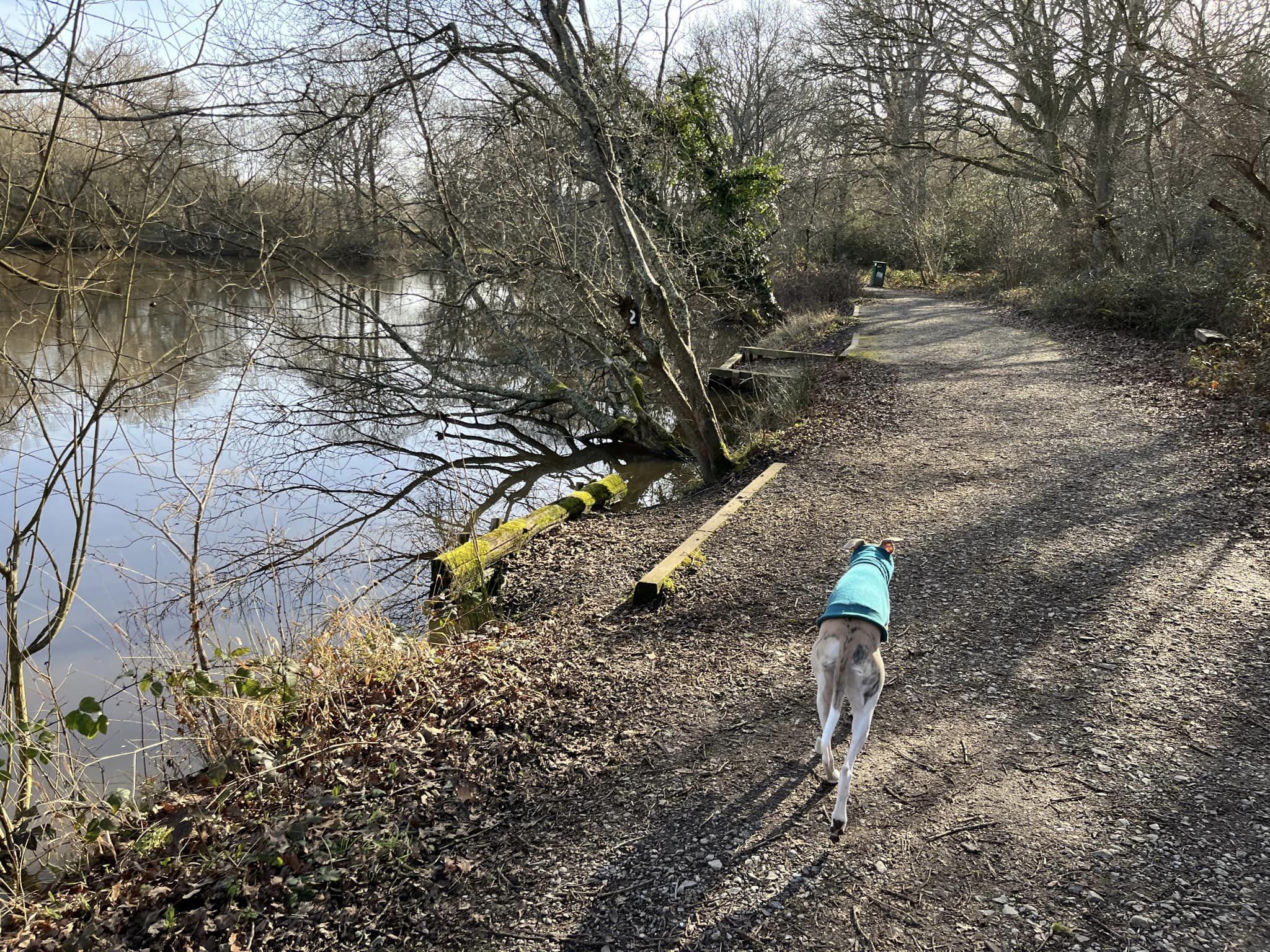
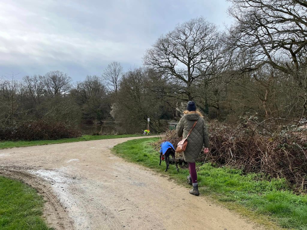
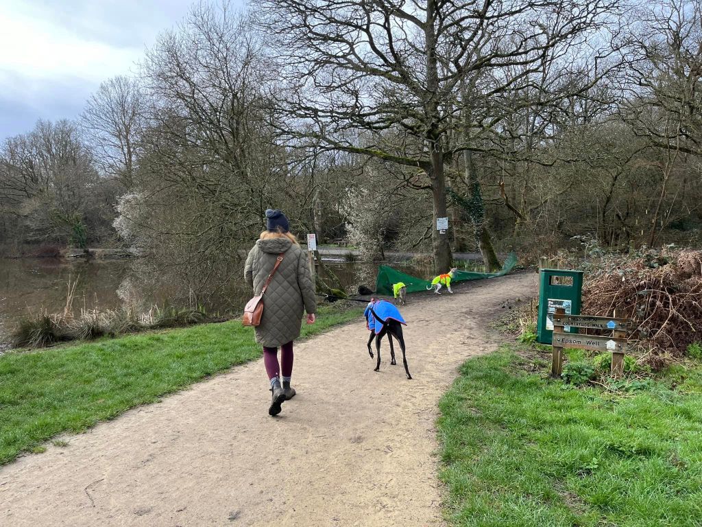
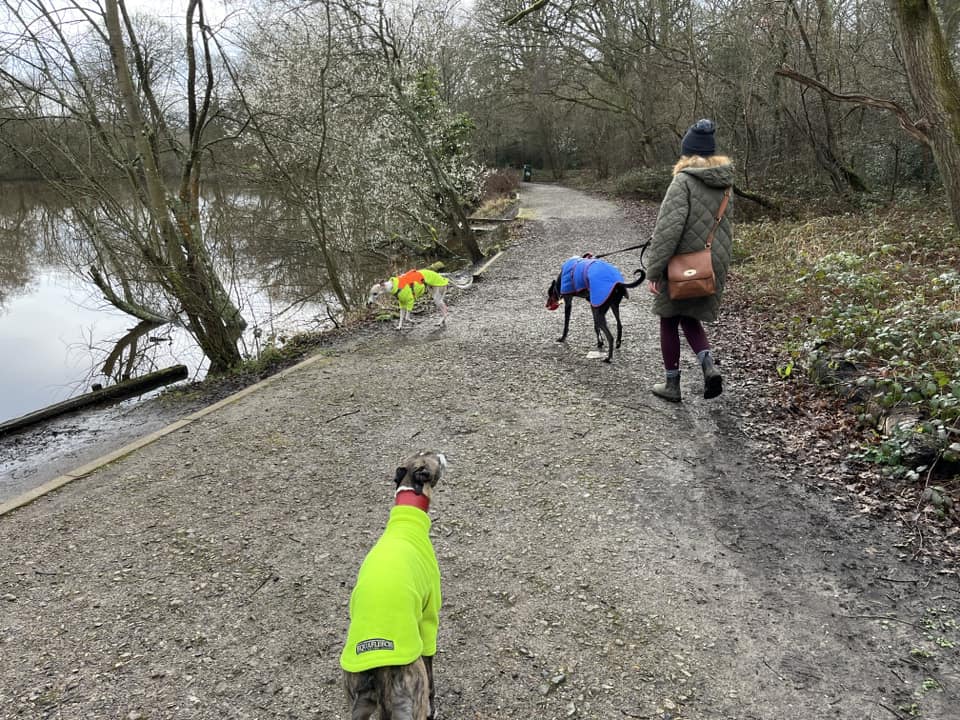
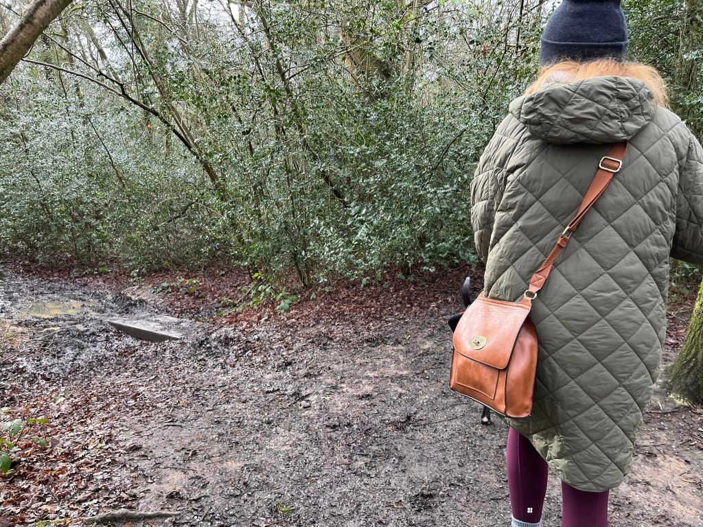
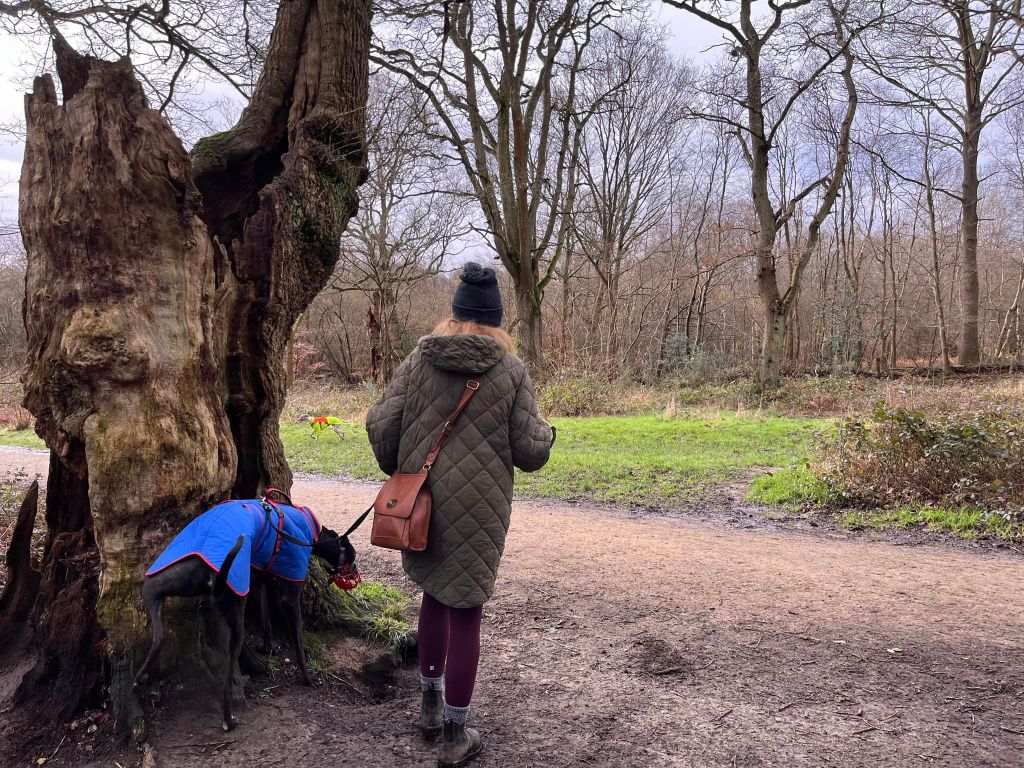
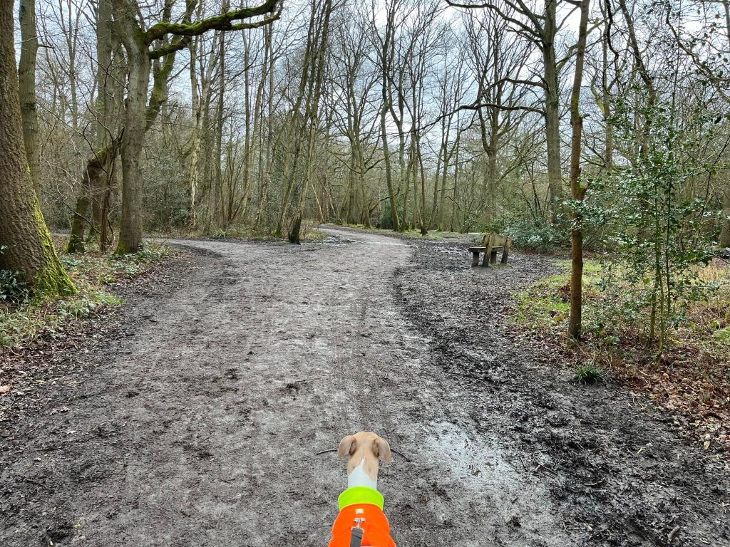
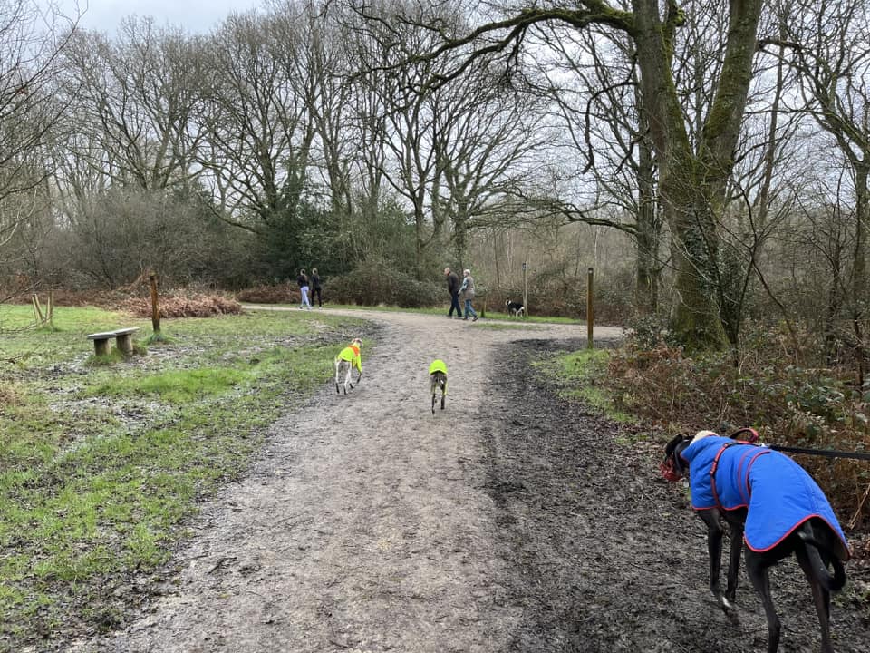
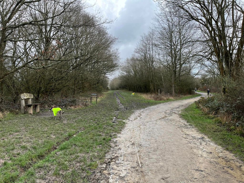
Gallery: What’s it like here?


Parking
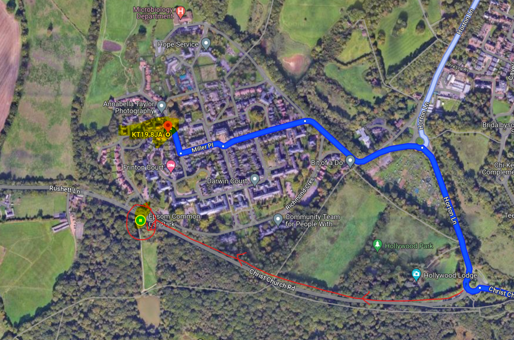
There’s a free car park just off Christ Church Road between Epsom and Malden Rushett.
WHAT3WORDS: https://w3w.co/drank.asks.bunch
GOOGLEMAPS LINK: https://maps.app.goo.gl/AA9NAAG9aZ6v3kan8
NEAREST POSTCODE: KT19 8JA but it’s really quite out – see map below showing centre of post code (which is where most sat navs will direct to) versus where the car park is
Poo bins?
At the car park and around Stew Pond.
Self-guided walk
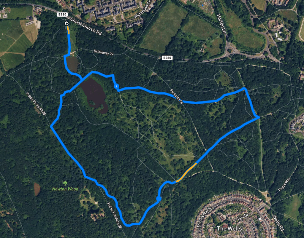
Here is a Footpath app route from Epsom Common car park. Also on AllTrails. It takes you past the Stew Pond and the Great Pond, then through the woods.
Length: approximately 2.4 miles/3.8 km
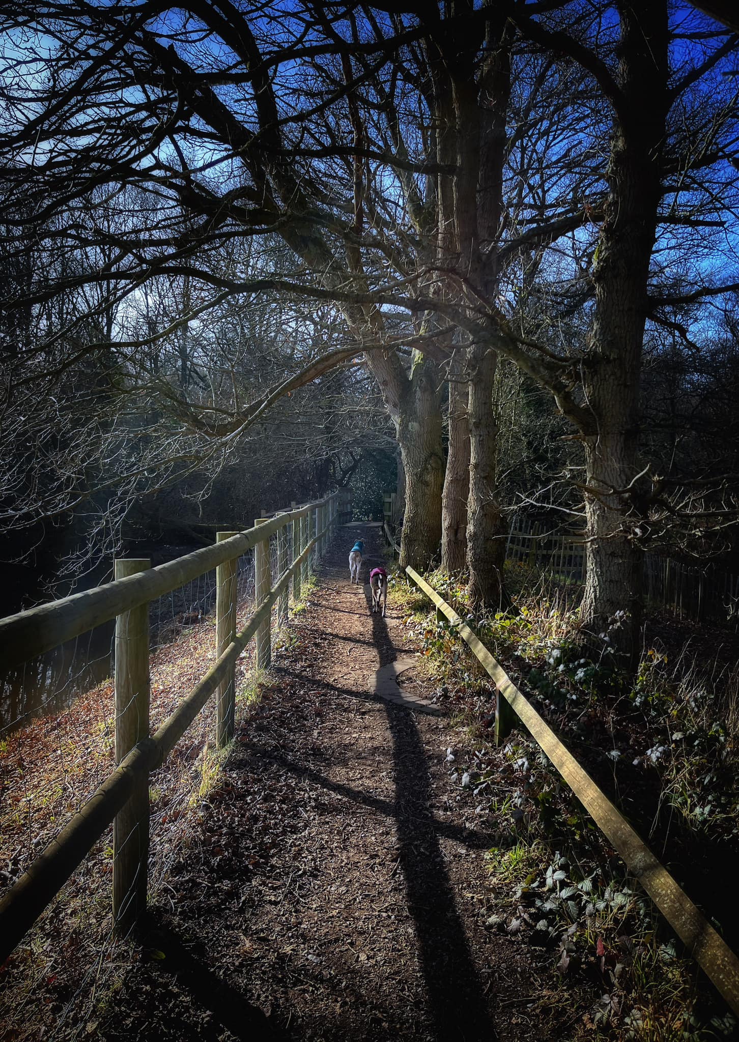
Terrain: Mostly through woods. There is a wide perimeter “all access” path, which tends to be dry year round but this walk also includes winding woodland paths and some grassy stretches that, as is the case for neighbouring Ashtead Common, are extremely muddy in the colder/wetter months as the geology of the area is London clay. No slopes but you’ll need to go up and down a flight of steps between the two ponds.
Stiles/kissing gates? No stiles or kissing gates
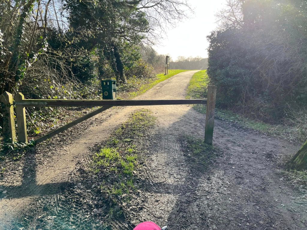
Take the main path from the car park, which is quite near the entrance from the road and has a vehicle gate across it.
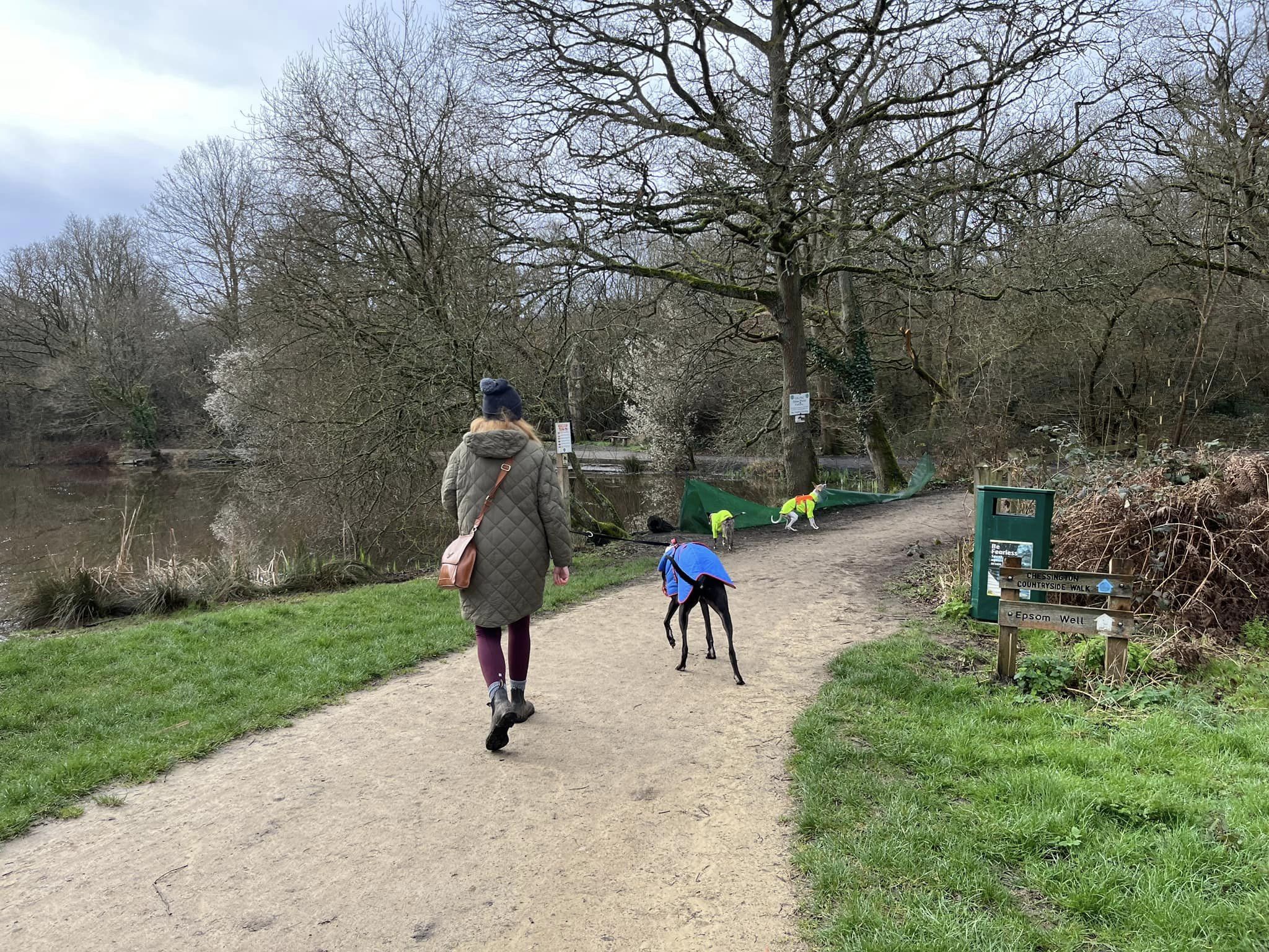
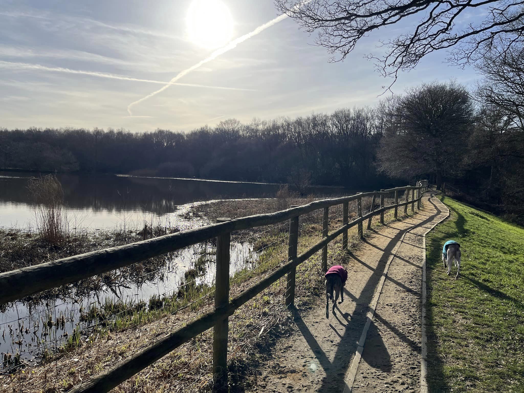
Pass the information boards on the left and walk straight ahead to the T junction next to the poo bin and the two signs (Epsom Wells and Chessington Countryside Walk), where you’ll see the Stew Pond ahead. Turn right to walk along the edge of the water, then at the pond’s ‘corner’, turn left, to continue walking around it, keeping the water on your left.
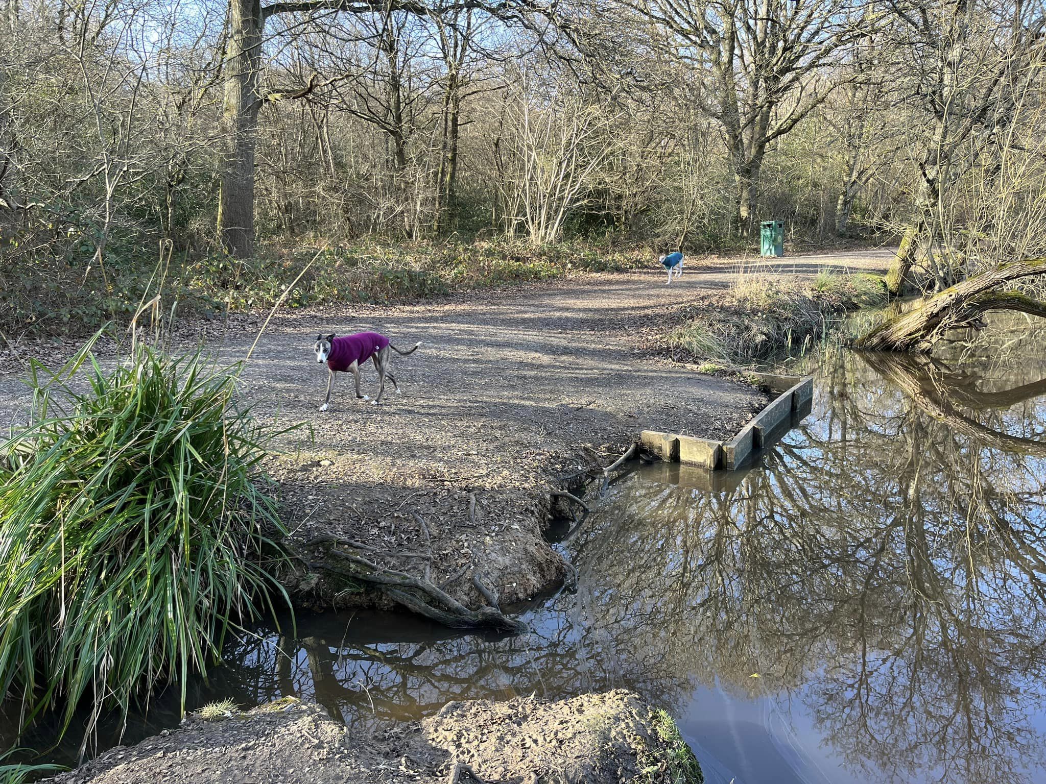
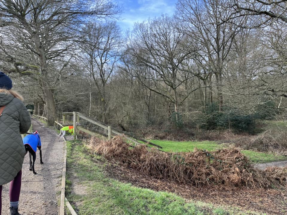
Walk along the edge of the pond, passing a hollowed out dead tree (on your right). At the end, go up the steps to the Great Pond, turning right when you reach the top.
Cross the bridge over the overflow channel and head into the woods.


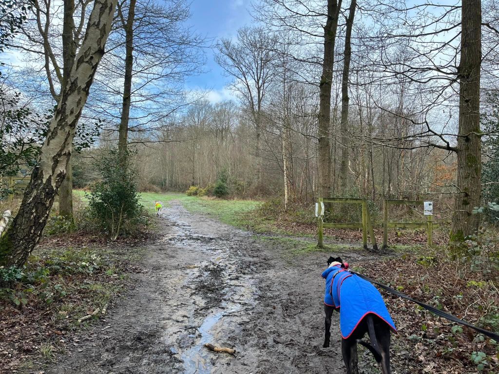
The path here can be muddy. Ignore two paths to the left (one immediately after the bridge, the second just after that, which has a plank bridge – these two paths are even muddier than the one you’re on so as nice as it is to be by water, we just won’t bother.)
Continue ahead on this fairly small path, which winds through the woods and between holly bushes. There are a few tiny paths off here and there, but none that noticeable that you’re likely to go astray as you want to just stay on this path until its end. It emerges at a T junction with a main path, next to a gnarly dead tree. Turn left.
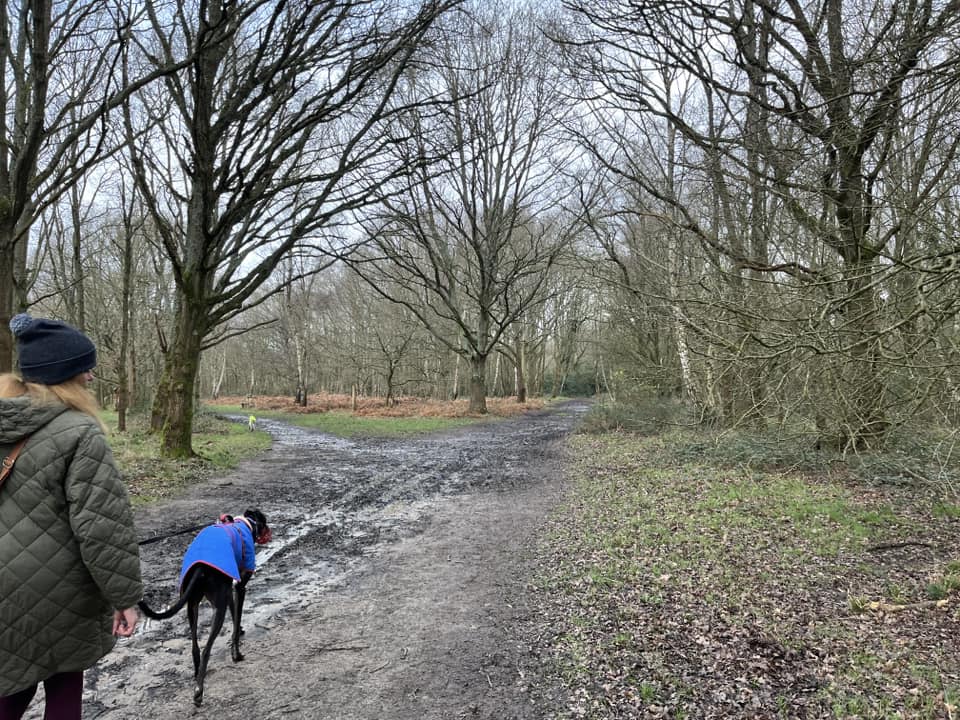
This is the main perimeter “all access” path around the common. Its surface is compacted and good, even in the winter. Follow it until you reach a fork next to a bench (on the right), where there is a large pond over to the right. Take the left-hand path here, passing another sign for Epsom Wells.
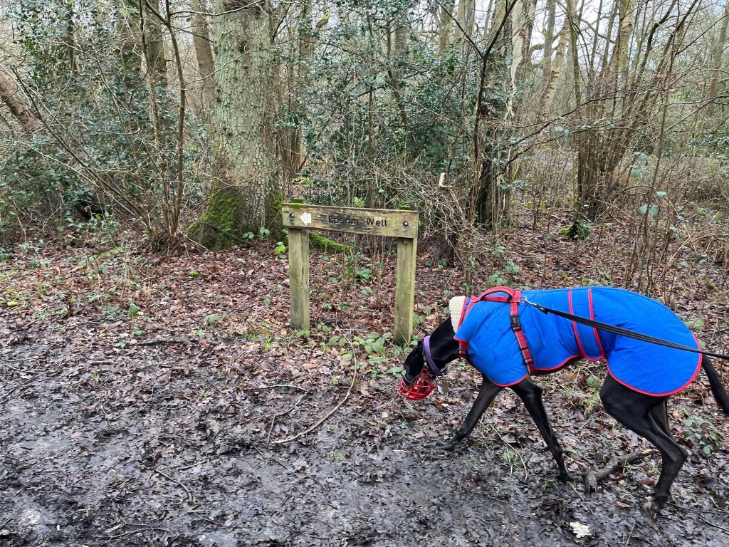
After some way, the woodland on the left will give way to a less wooded, grassy area. Just keep going. When you get to the T junction with the post for Wells Rd and the sign for Epsom Wells, turn left.

Stay on this path until you get to a point where it bends to the right by a bench with a backrest (on the left.) Here, a wide grass (often muddy) path continues ahead from the corner. You want to leave the nice compacted “all access” path here (sorry!) and go straight onto the grass path, passing a sign that advises it’s a summer horse ride. In winter, an additional sign says it’s closed – only to horse riders, you’re fine to keep going! This is not the “horse rides with Rena” website.
This bit can be very wet, squelchy and muddy in winter – as is most of the rest of this walk, I’m afraid. That’s clay for you.
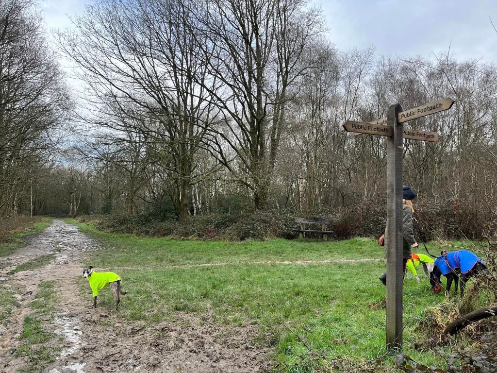
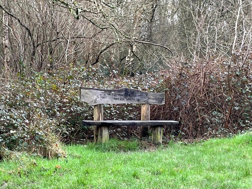
Anyway, continue straight on at the next junction of paths. You just stay on this route until you get to a cross paths next to a finger post with arrows pointing in all four directions (all simply reading public footpath, which isn’t particularly helpful in my opinion) and a bench dedicated to a Sylvie Smith. Turn left at this cross paths.
Walk down here until the path crosses over a ditch with a pipe through it. Just after this, at the junction of paths, turn left, passing what I can only describe as a “wiggly” tree (which will be on your right after you make the turn and walk a few paces.)

Pass a wooden fence with a V in it. In the summer, cattle is grazed in this area so sometimes there is an electric fence here and you may need to go through the V but at the time of writing this post in February 2024, this doesn’t apply. You’ll then pass a wooden cattle pen (on the left.)
Continue ahead until this path brings you to a wide junction. Turn right, then walk a little way and take the path that bears off ahead and to the left.

Walk along here, passing a bench (on the right.) Keep going until you get to the “end” of this path at a hedge. To the left, there’s another wooden fence and a gate. Ignore these and turn right. If you’re doing this walk between October and about April, this is probably the muddiest bit of the route. It doesn’t last long.
At the junction by the big gnarly tree (on the left), turn left.

The ground surface improves dramatically here as you’re back on the “all access” path, which brings you to the bottom of the Great Pond. Pass the bench on the right and keep walking until you get to the flight of steps you came up earlier. Turn right and go down the steps.
You’re now just retracing your outward route to get back to the start. This means walking along the side of Stew Pond, which is on your right.

At the end of the pond, turn right, then at the poo bin, turn left and follow this last bit straight to the car park, passing the information boards on the right.
