
About
Gallery
Instagram reel showing this place
Parking
Poo bins?
Self-guided walk
About
The second largest of London’s royal parks (behind Richmond Park), Bushy Park is approximately 445 hectares (1,100 acres) in size – the equivalent of four Hampton Court Palaces – and boasts a perimeter of approximately 6.6 miles.
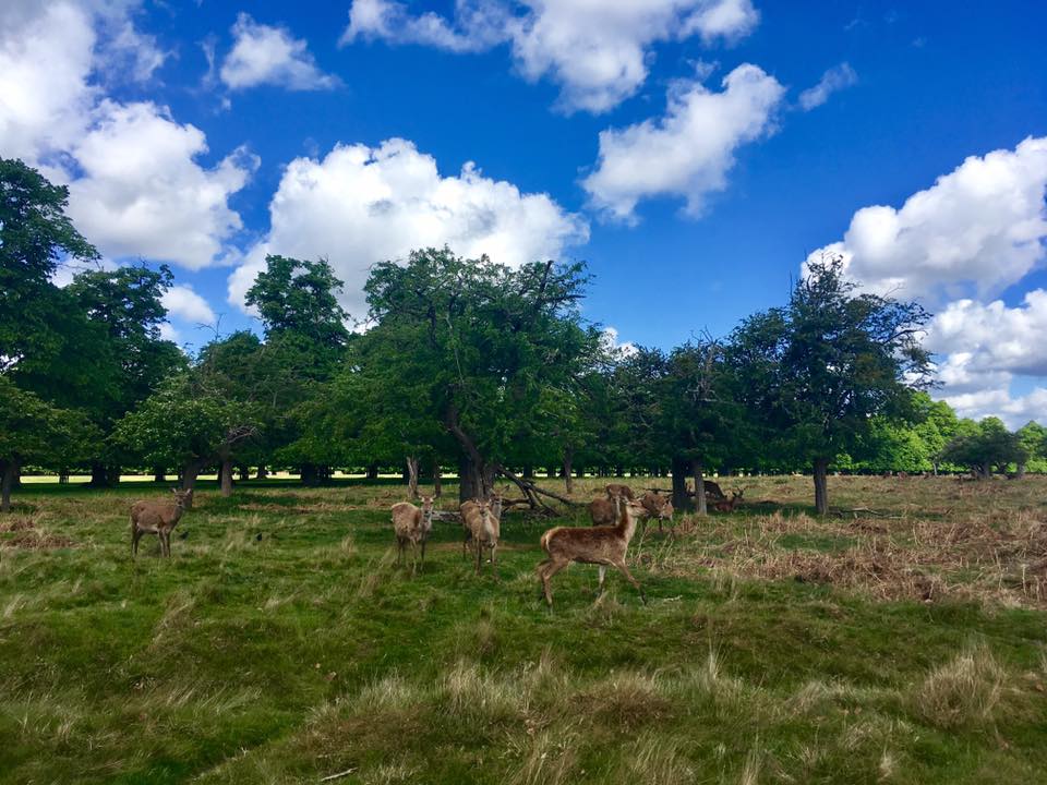
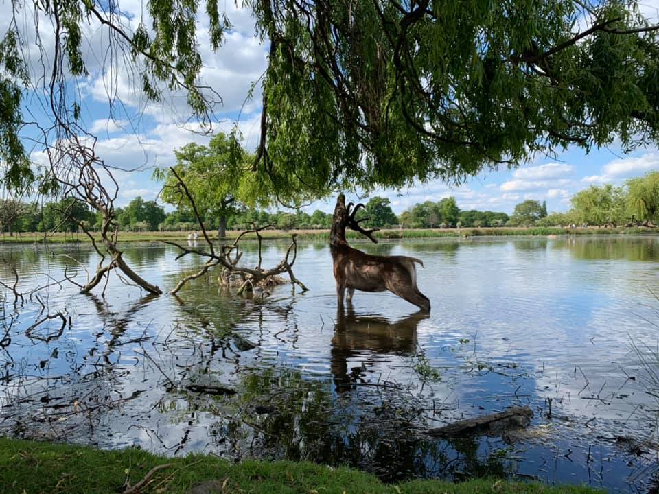
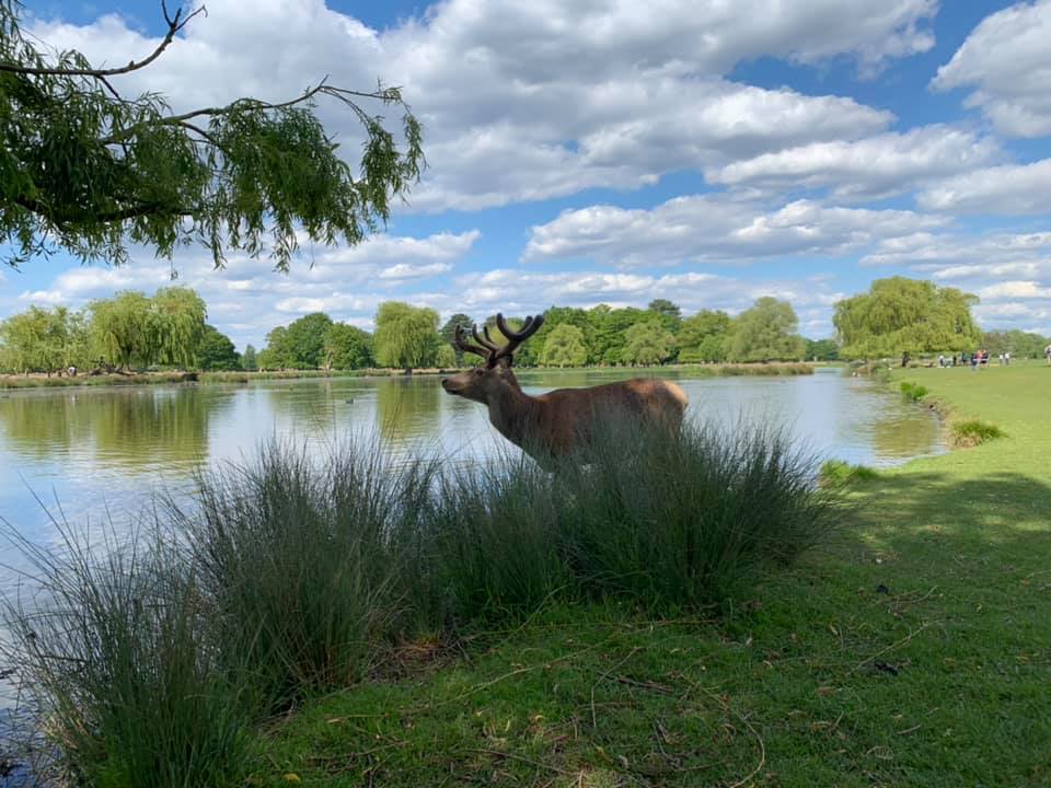
The area has been settled for some 4,000 years since the Bronze Age and people have farmed on this land since medieval times. The park really took its shape at the end of the 15th century when Henry VIII acquired neighbouring Hampton Court Palace. Bushy Park was one of his favourite hunting grounds and wild herds of red and fallow deer still roam the park today.
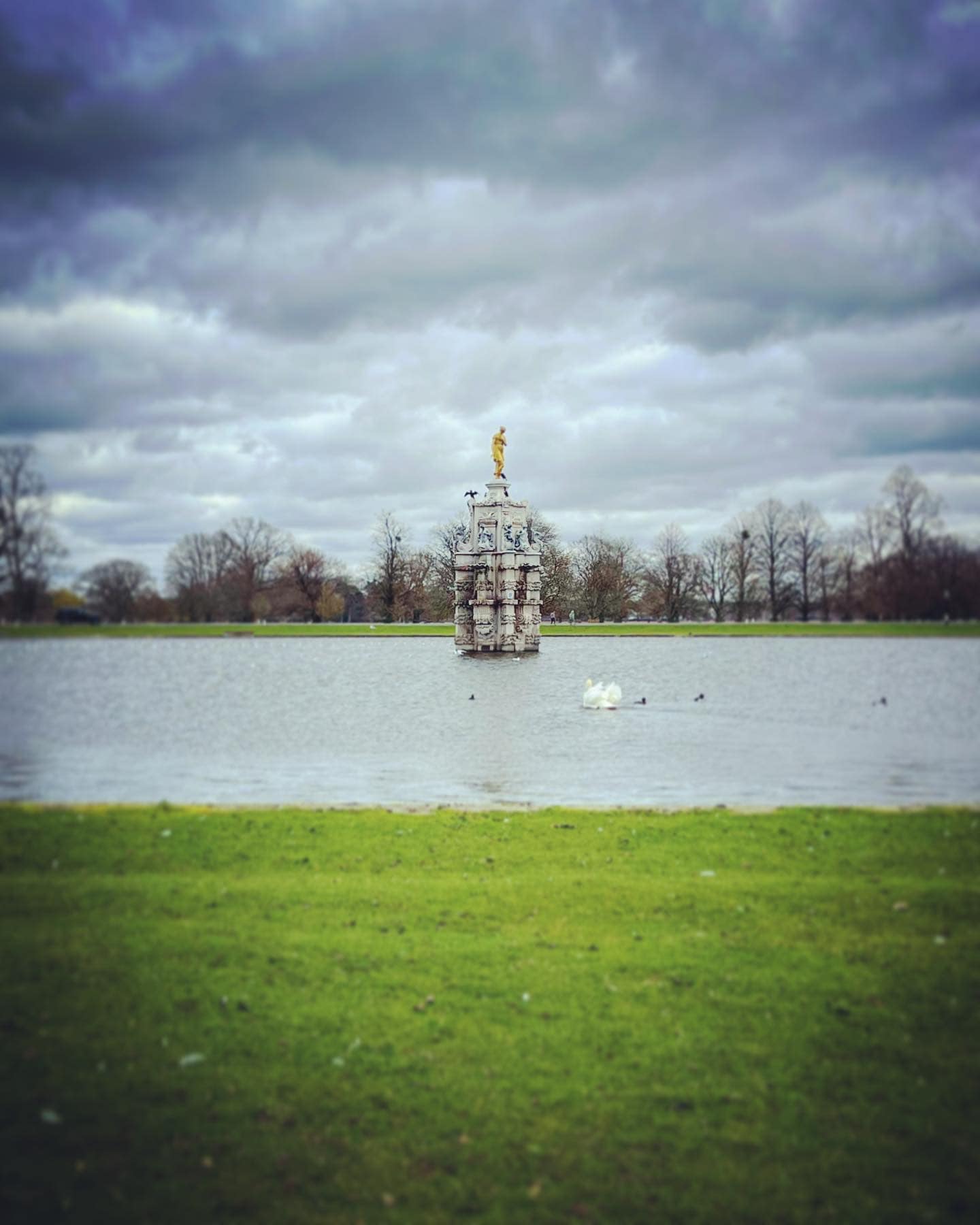
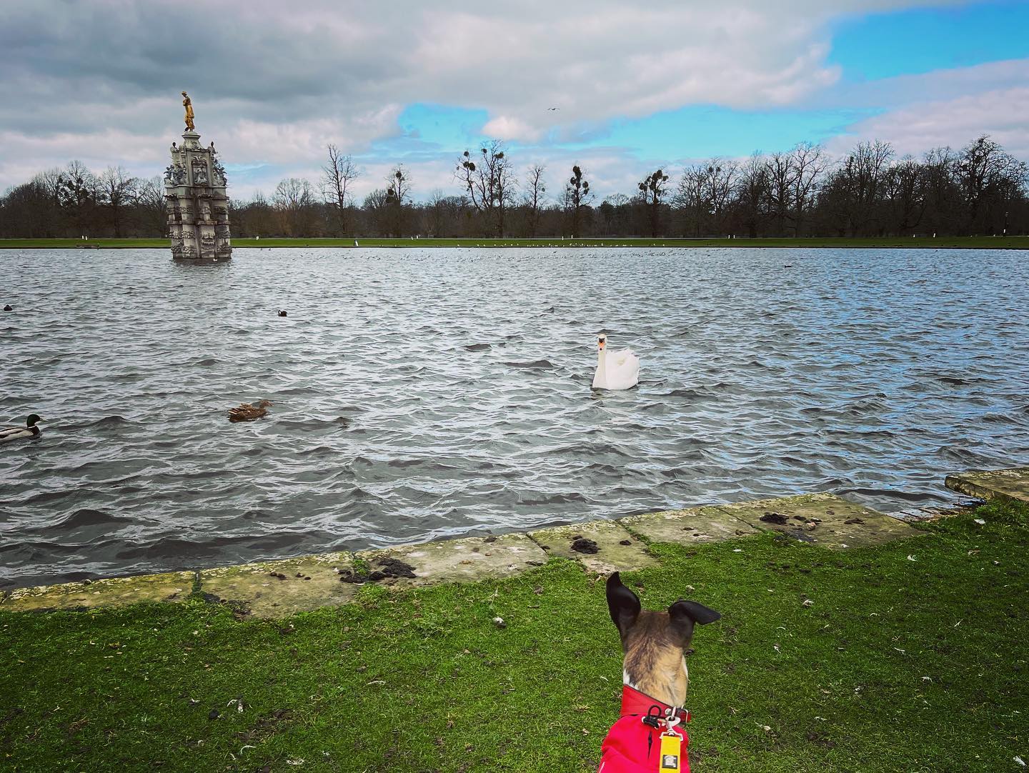
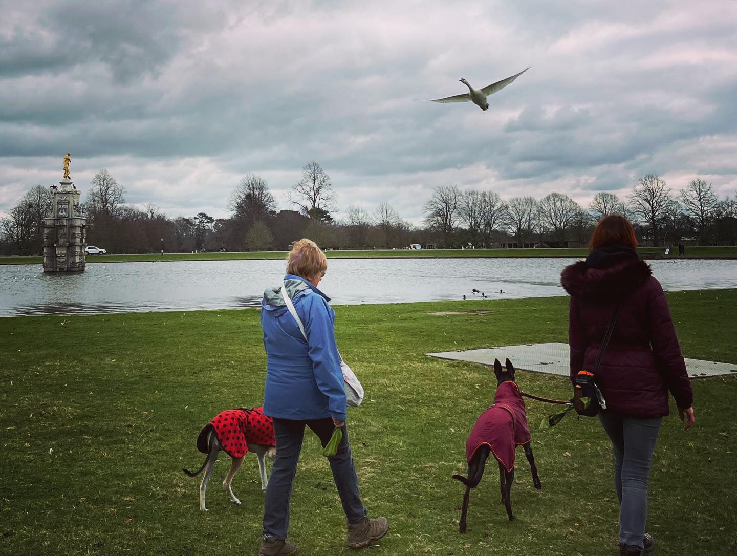
The royal houses that followed Henry added a number of picturesque features. King Charles I had the 12 mile canal known as Longford River built through the park to divert water from the River Colne to Hampton Court Palace to power the palace water features. In the 1630s, he also commissioned the now Grade I listed Arethusa ‘Diana’ Fountain, which was located at Somerset House. The statue honours the Roman goddess Diana, rather than the late Princess Diana although Joe Public believes otherwise.
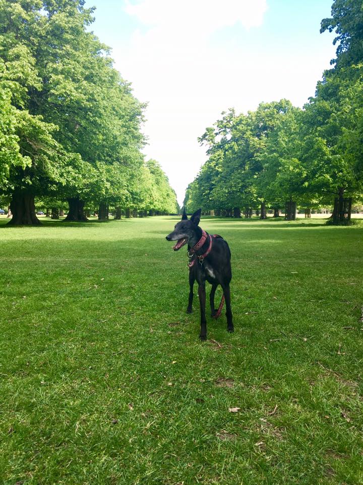
In the 1700, Sir Christopher Wren’s remodelled the park and constructed the mile-long Chestnut Avenue as a formal approach to Hampton Court Palace. It has several rows of horse chestnut trees on either side. In 1713, as part of these works, the fountain was moved from Somerset House to the lower end of this magnificent new avenue. Chestnut Avenue was closed as a thoroughfare during the pandemic. You can use it to access the park and its car parks but not travel its whole length.
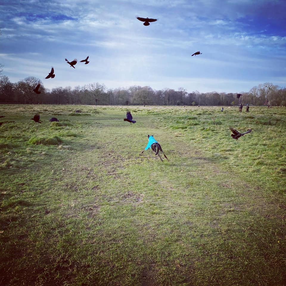
Bushy Park played a key role during the two world wars as a base for foreign allied troops. WWI saw Canadian troops stationed here and the grand Upper Lodge building was converted into the King’s Canadian Hospital. The WWII D-Day landings that liberated Europe were planned from a military base here, led by General Dwight D. Eisenhower. There are memorial plaques between Teddington Gate and the Warren Plantation (which the walk on this page passes through) that commemorate these events.
*If you like this walk, why not try out the Walks with Rena route at nearby Richmond Park?
Dogs and the deer seasons
— Birthing season (1 May to 31 July) – dogs need to be on leads during the deer birthing season. This is mandatory and applies to all areas of the park.
— Rutting season (September to November) – it is advised to keep dogs on a lead near deer, or walk them elsewhere during this season. Keep a minimum distance of 50m from deer. If the males seem active then keep at least 100m away.
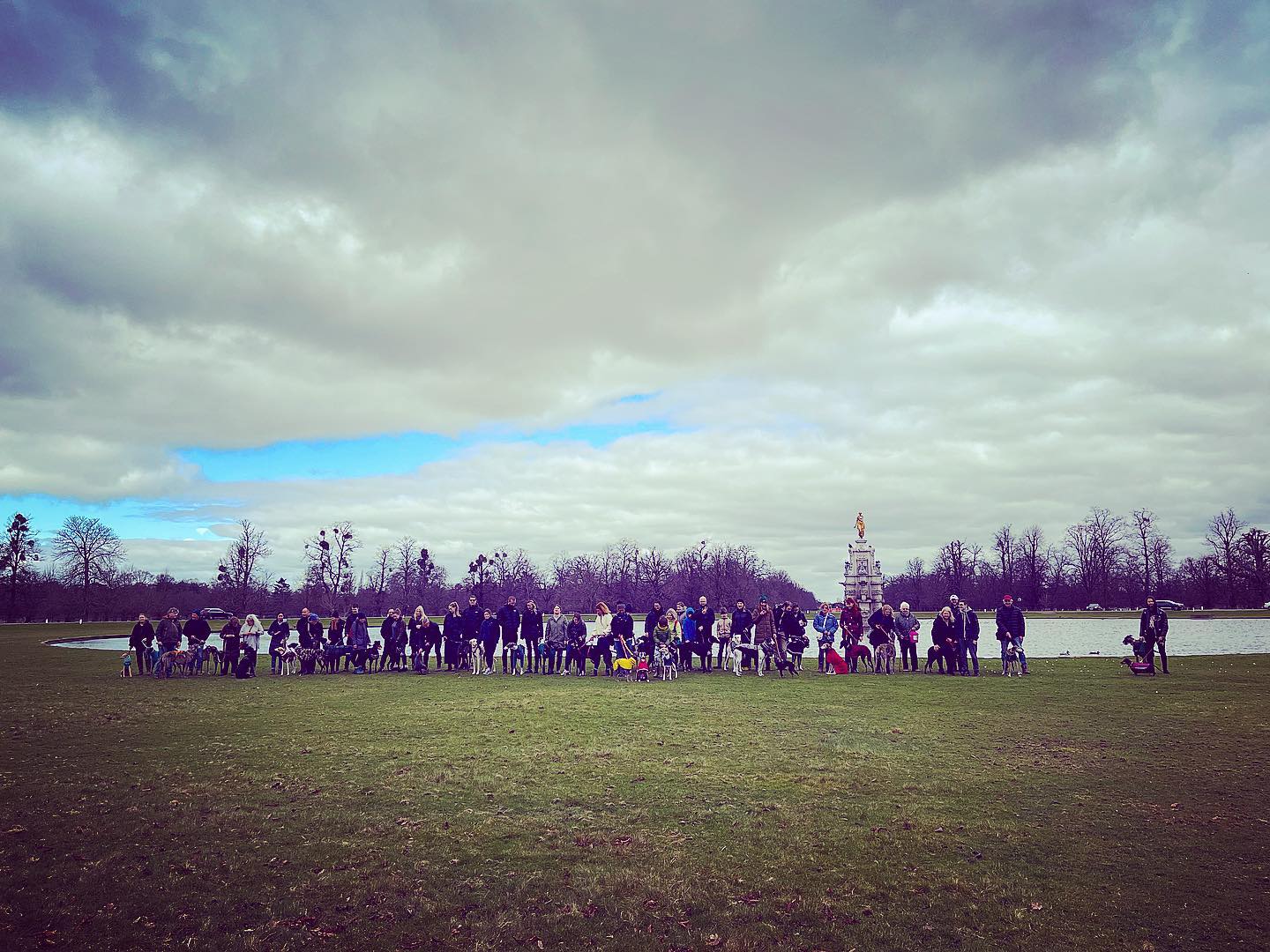
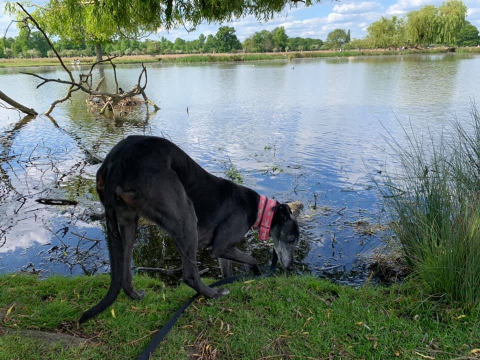
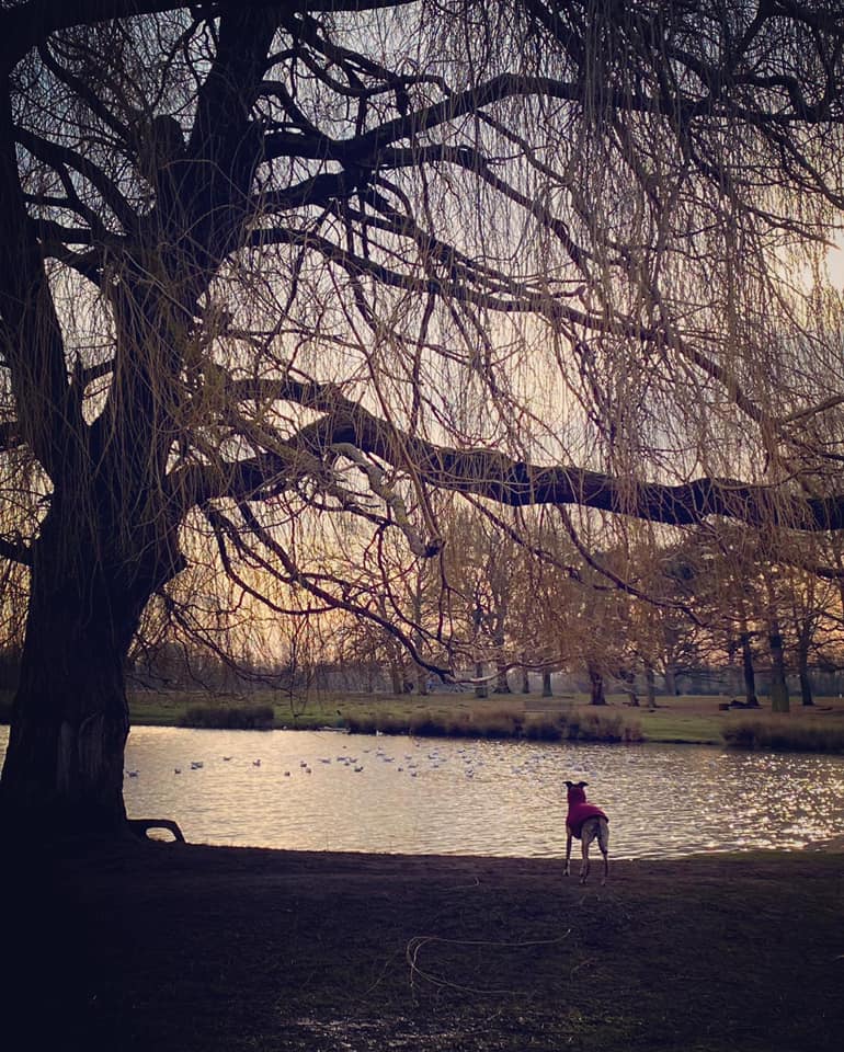
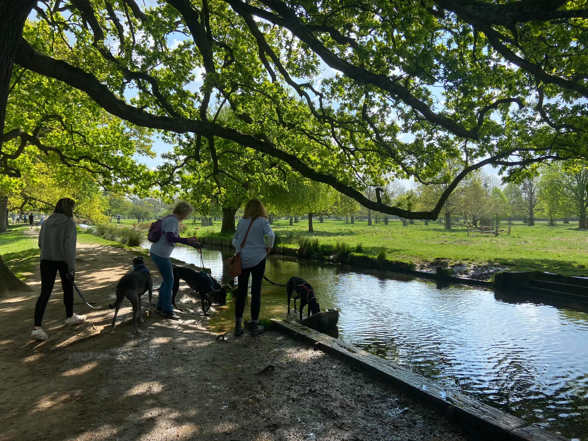
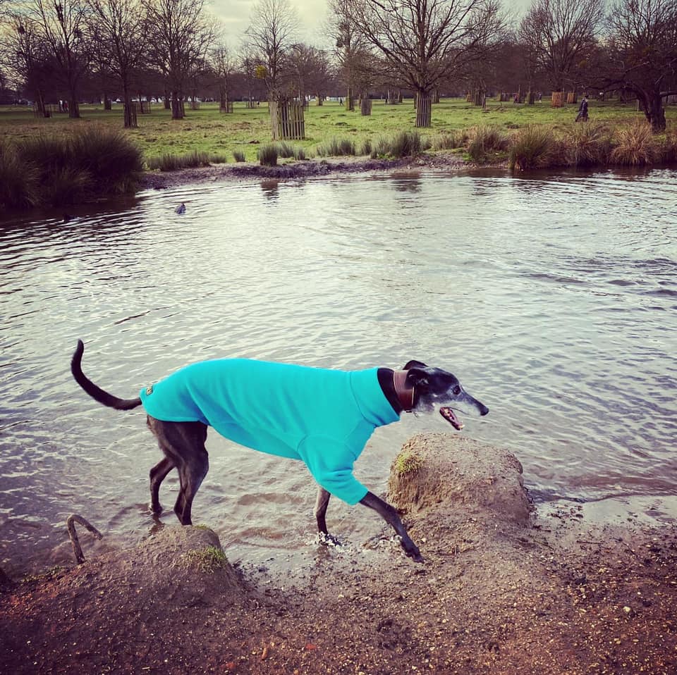
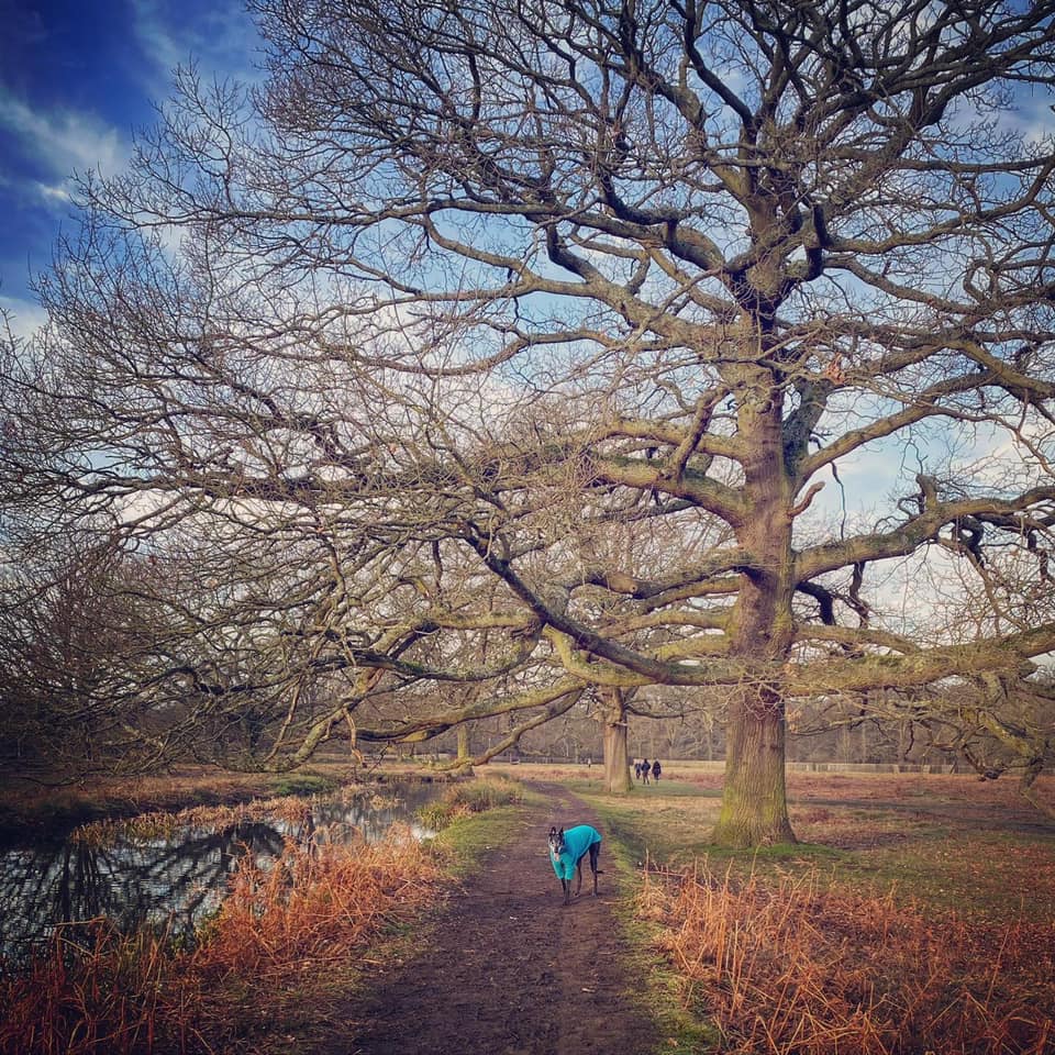
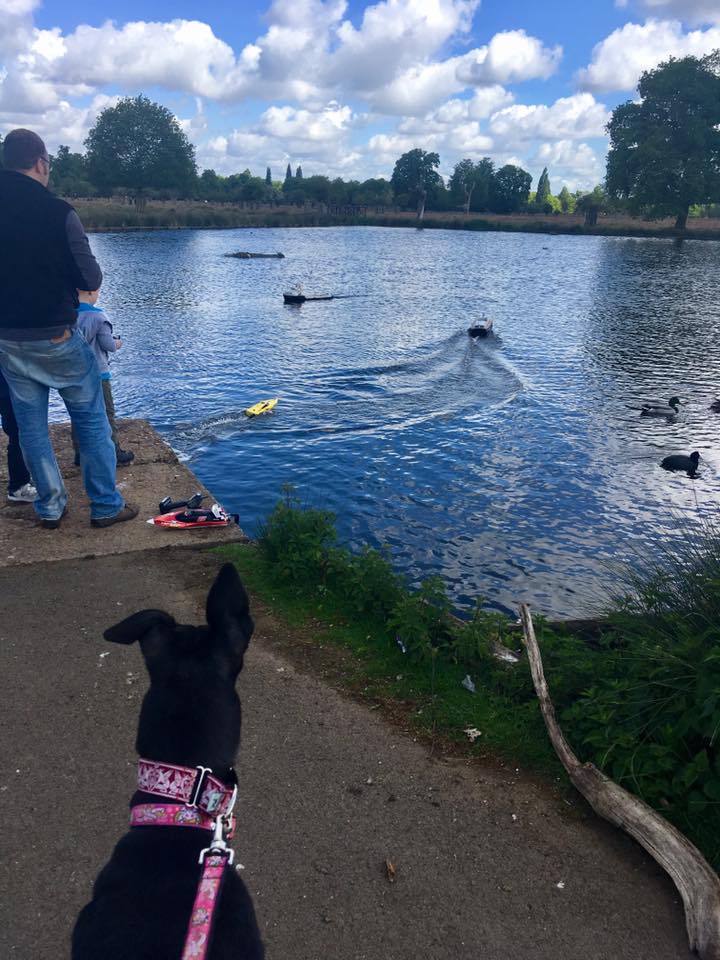
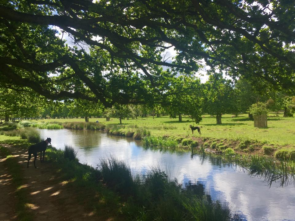
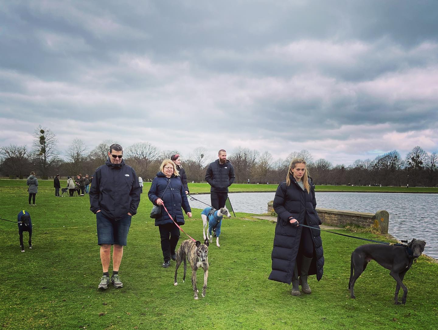
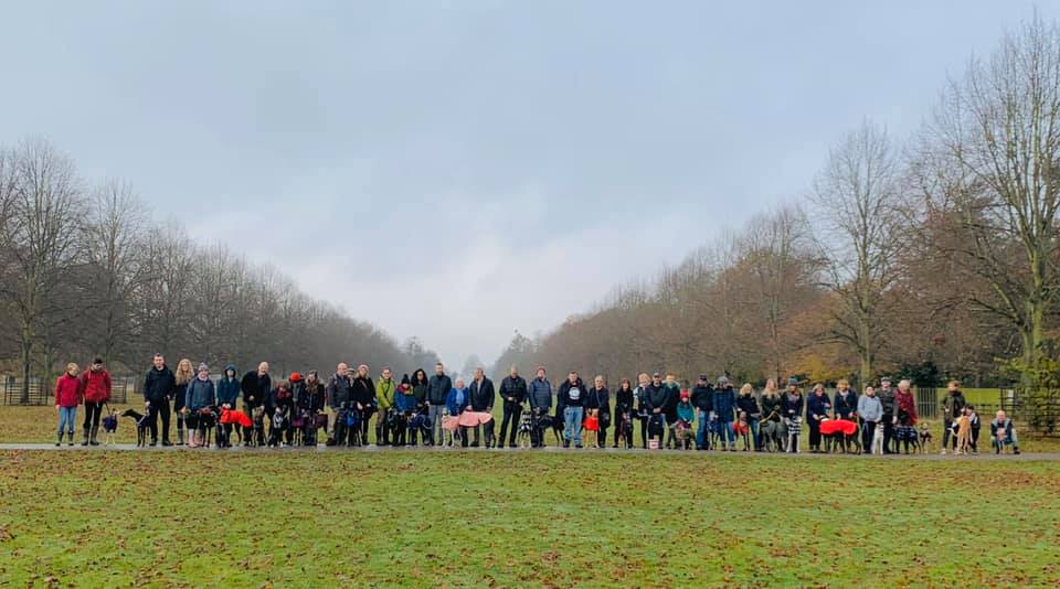
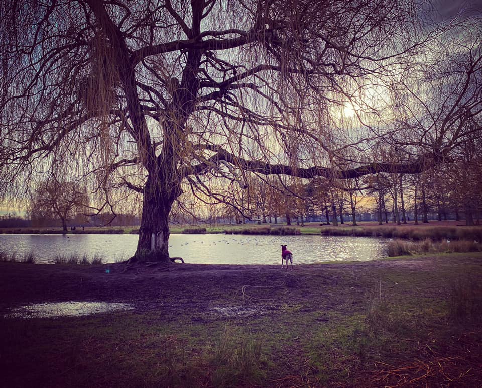
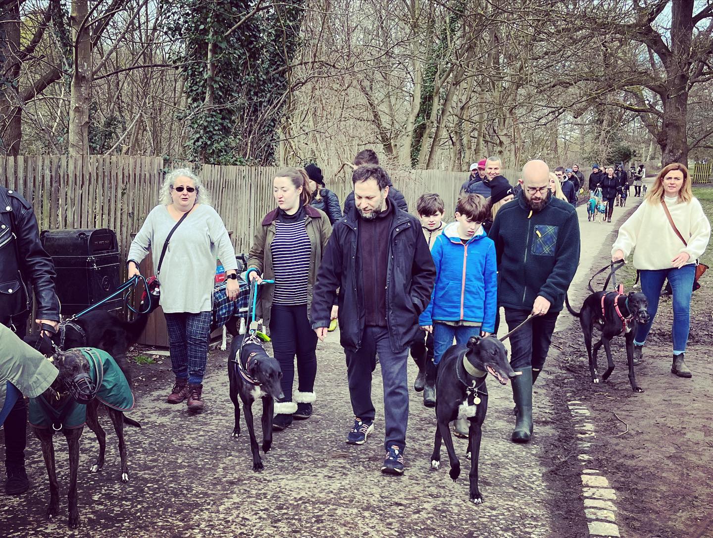
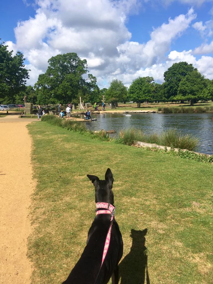
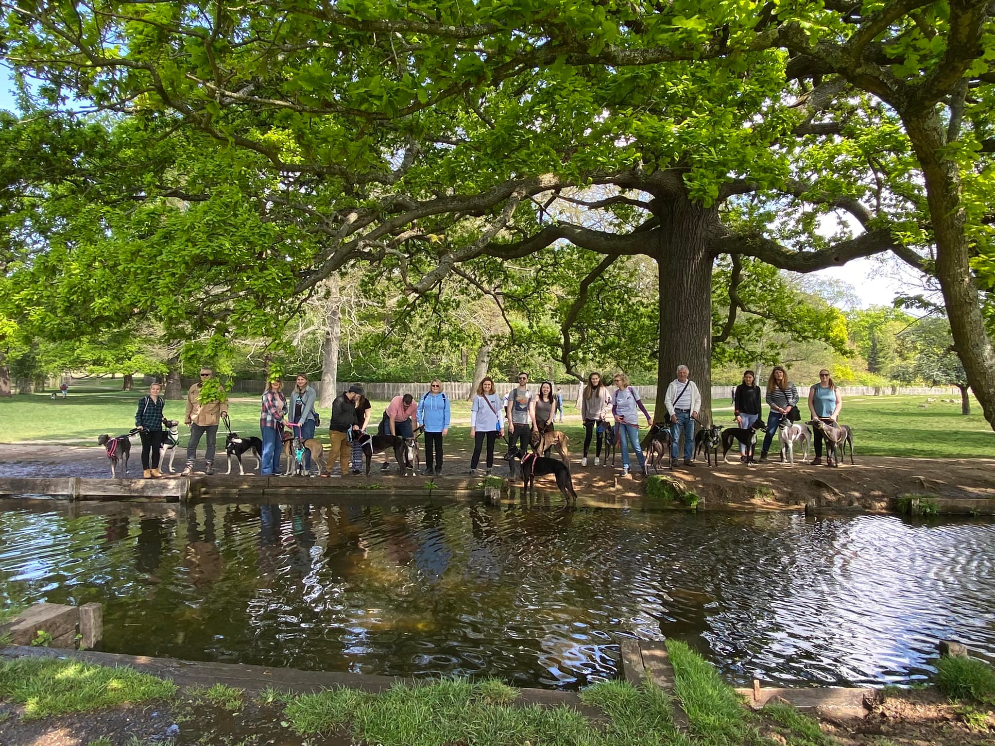
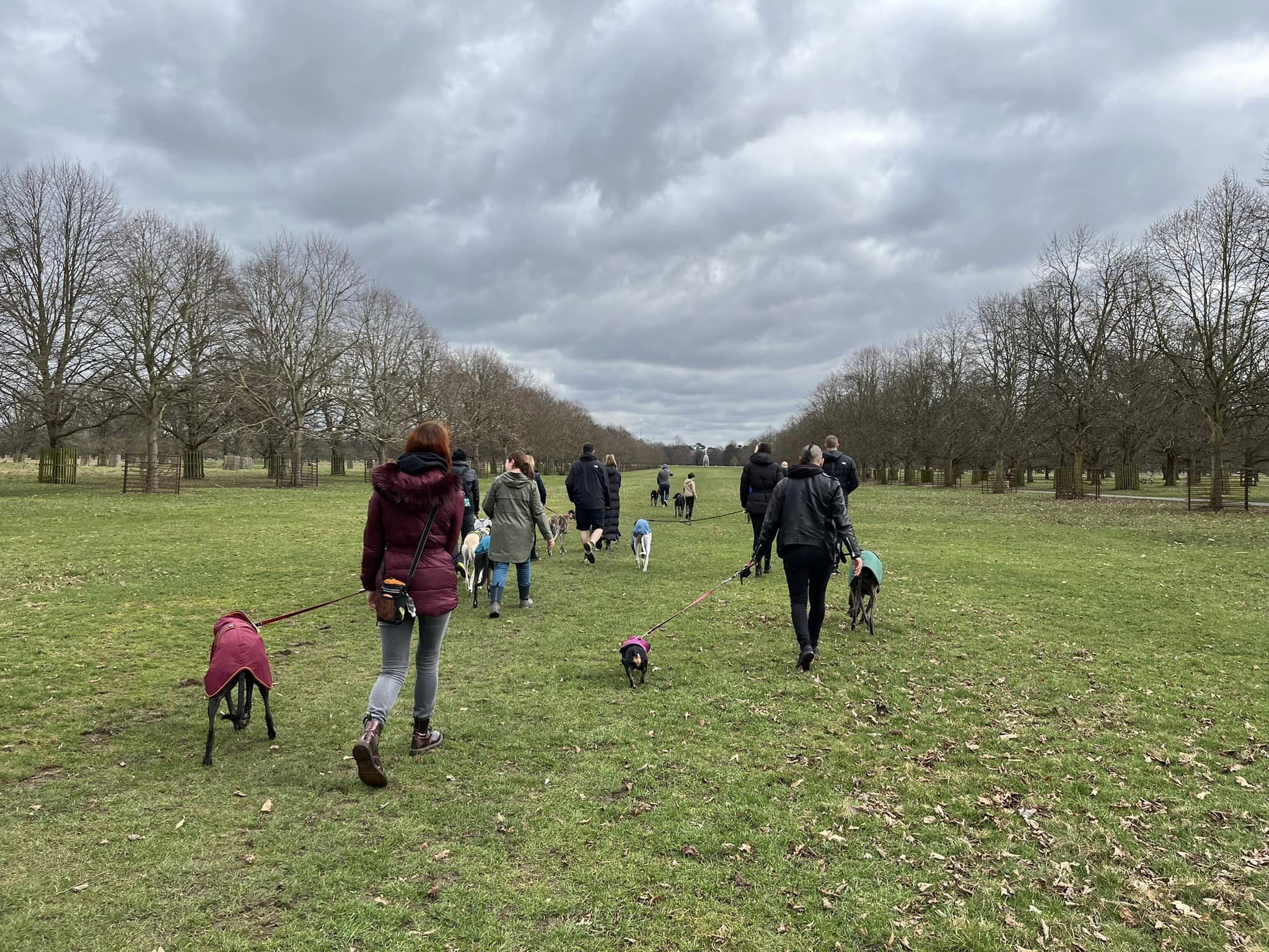
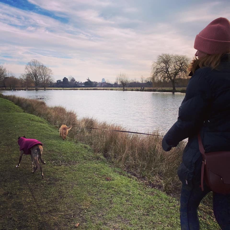
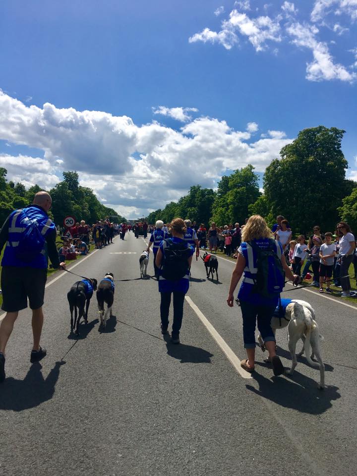
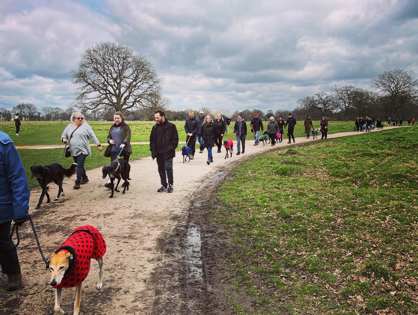
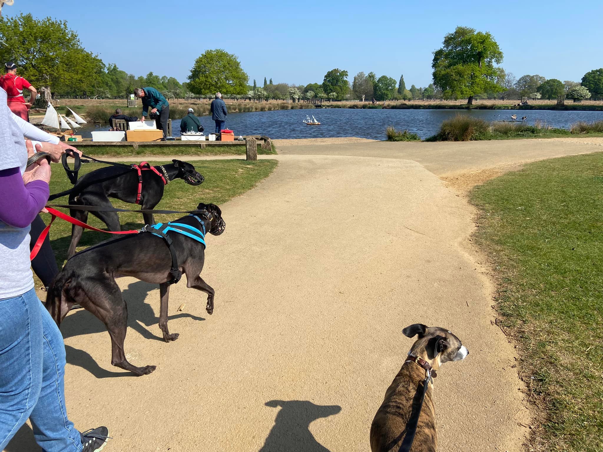
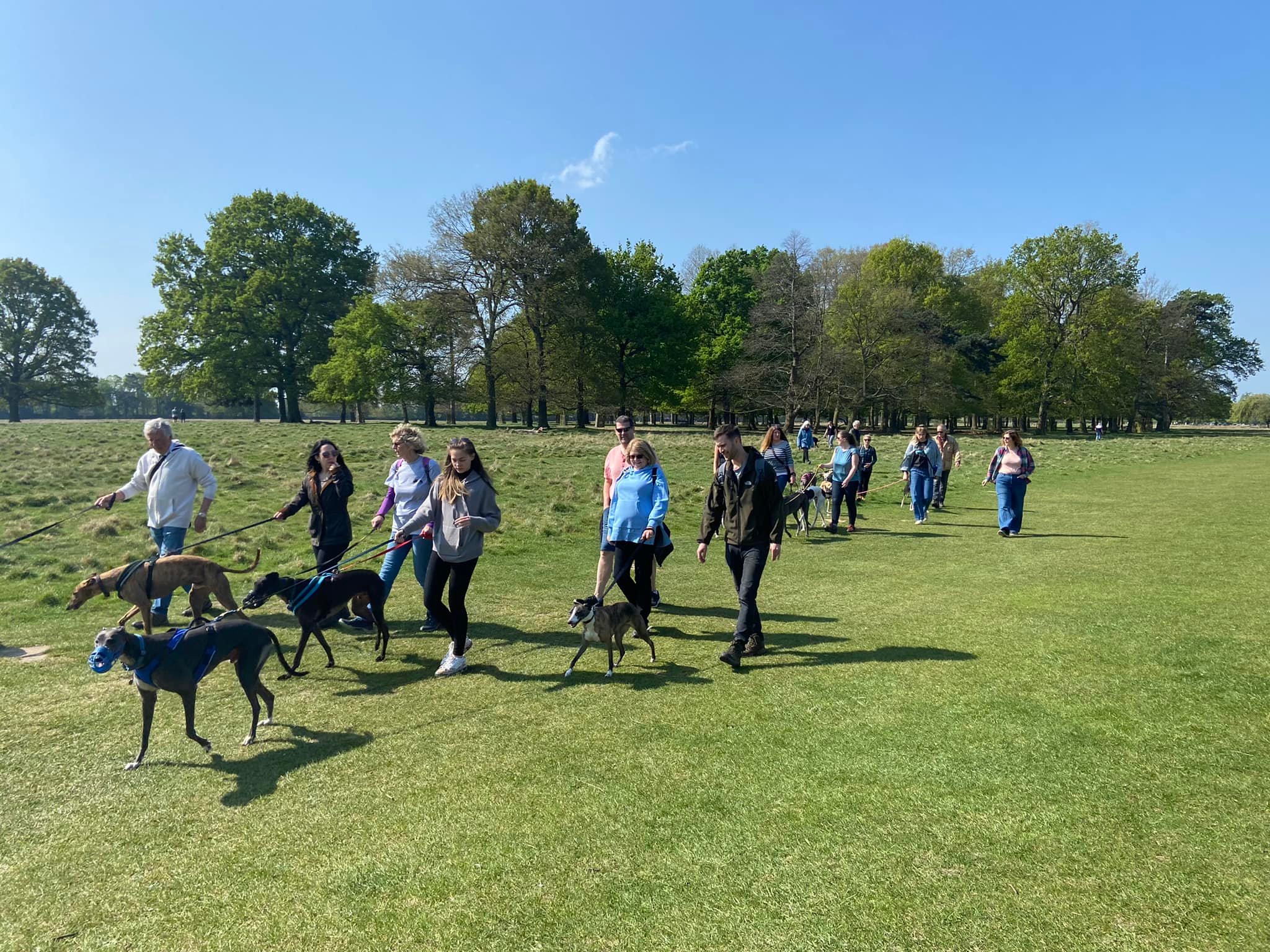
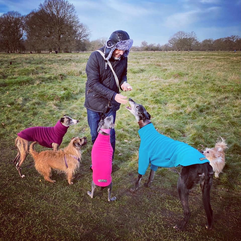
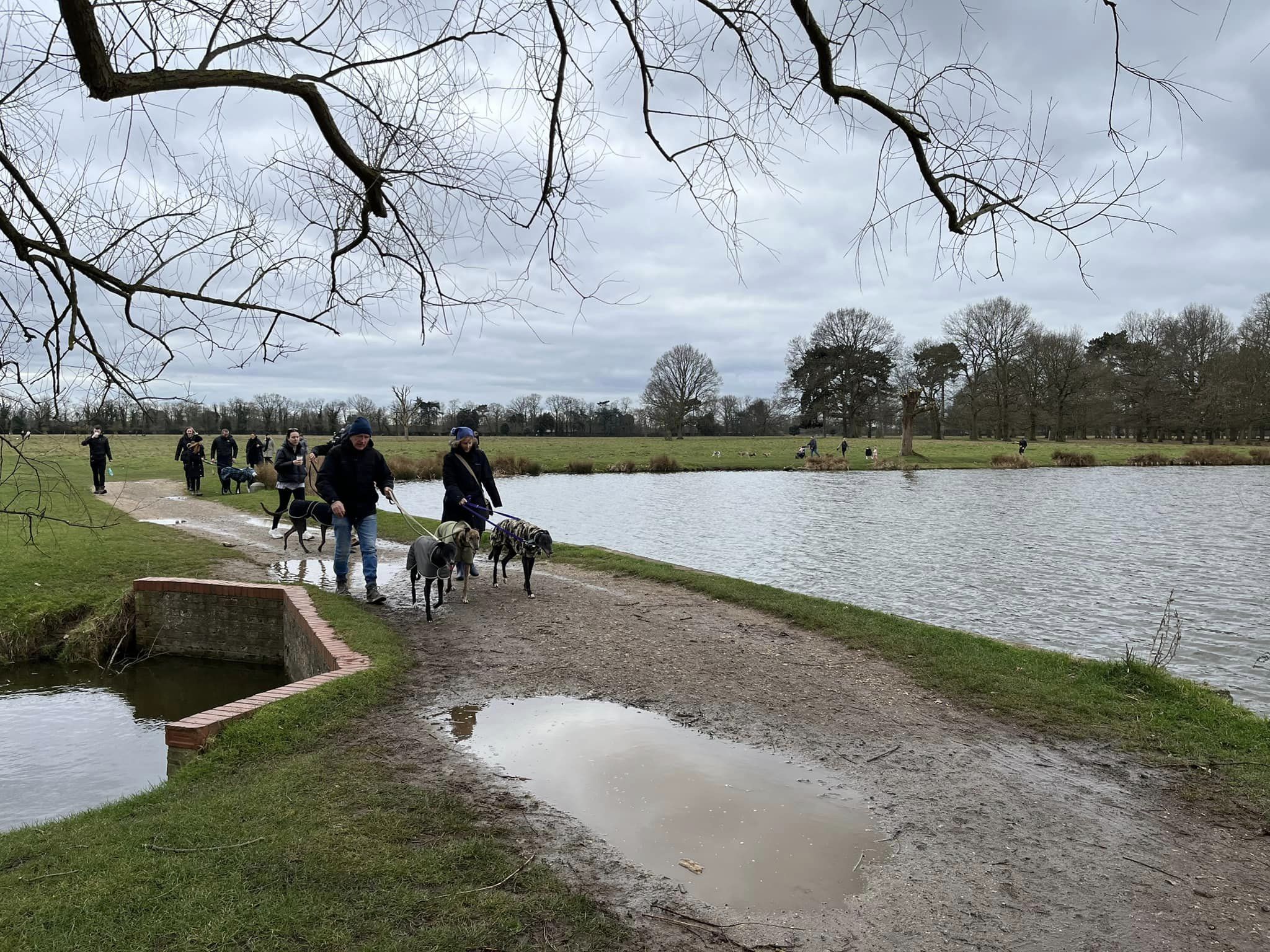
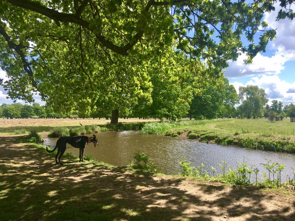
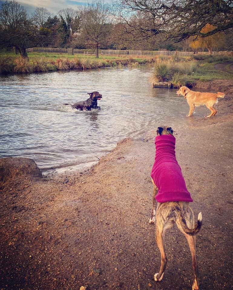
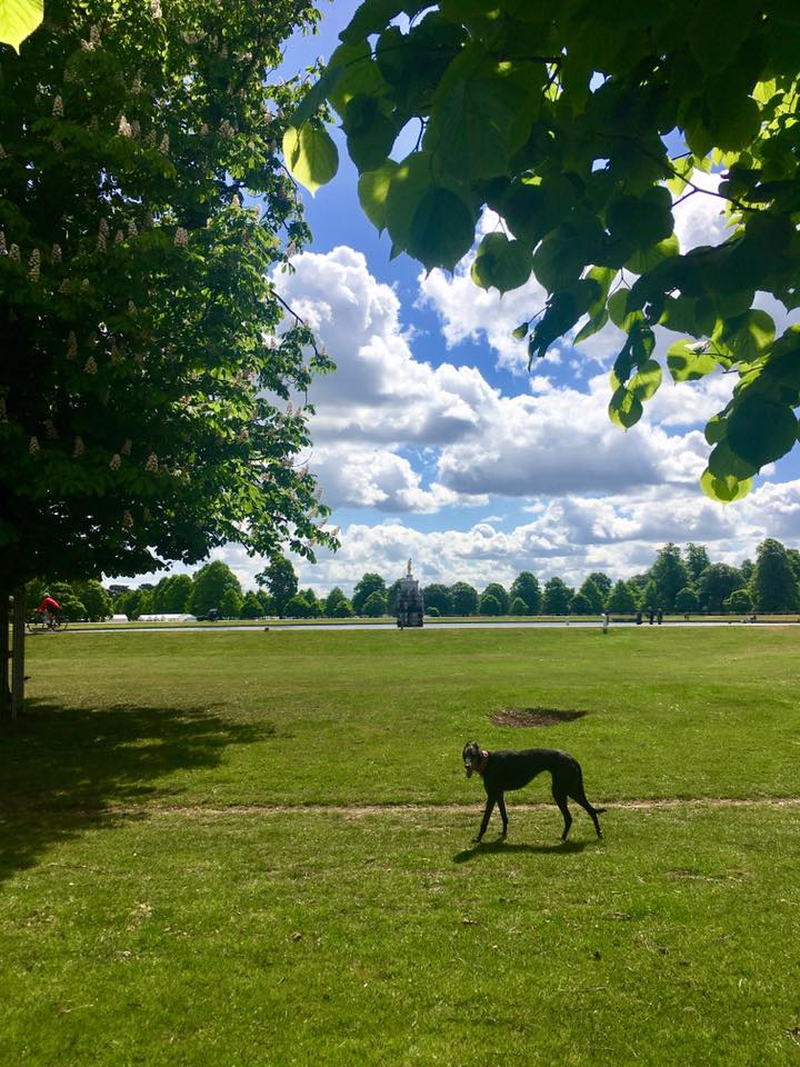
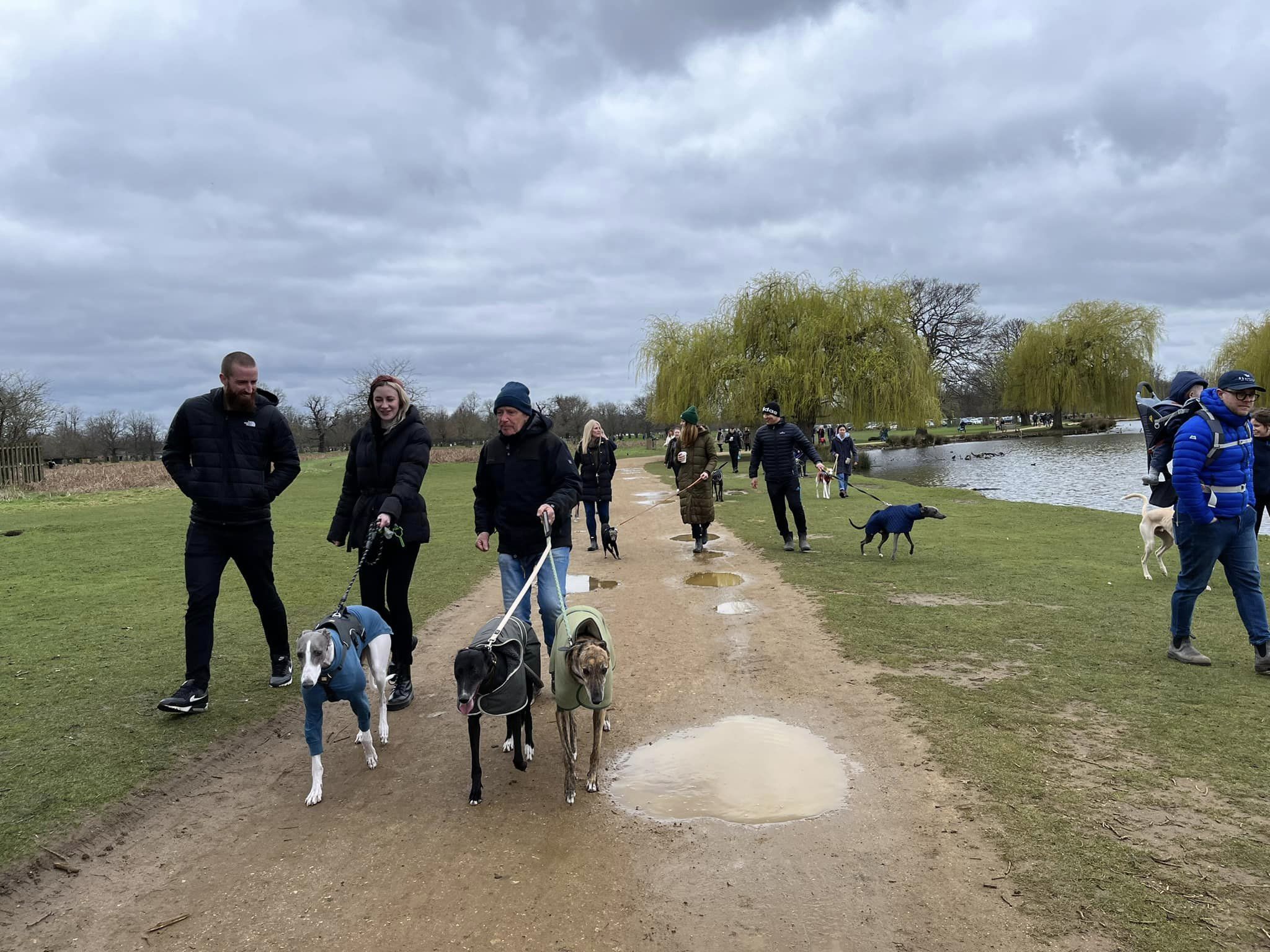
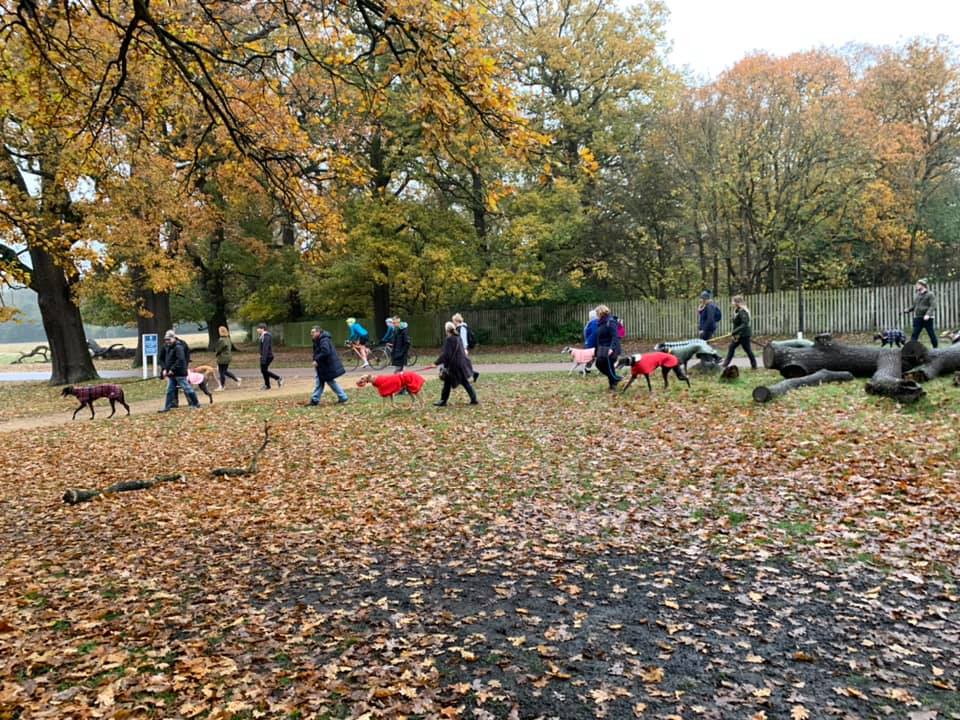
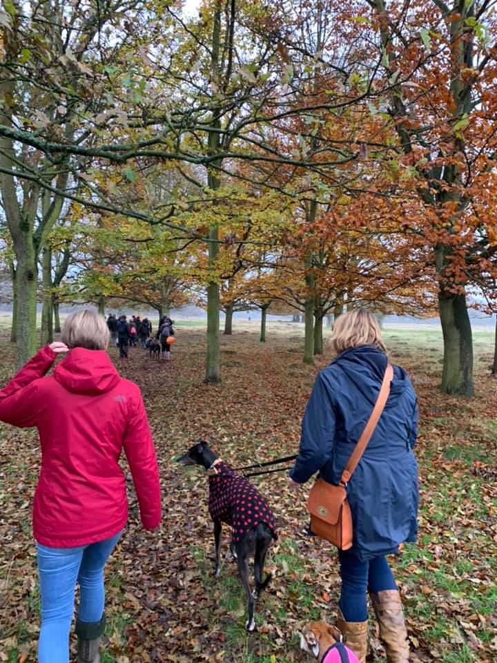
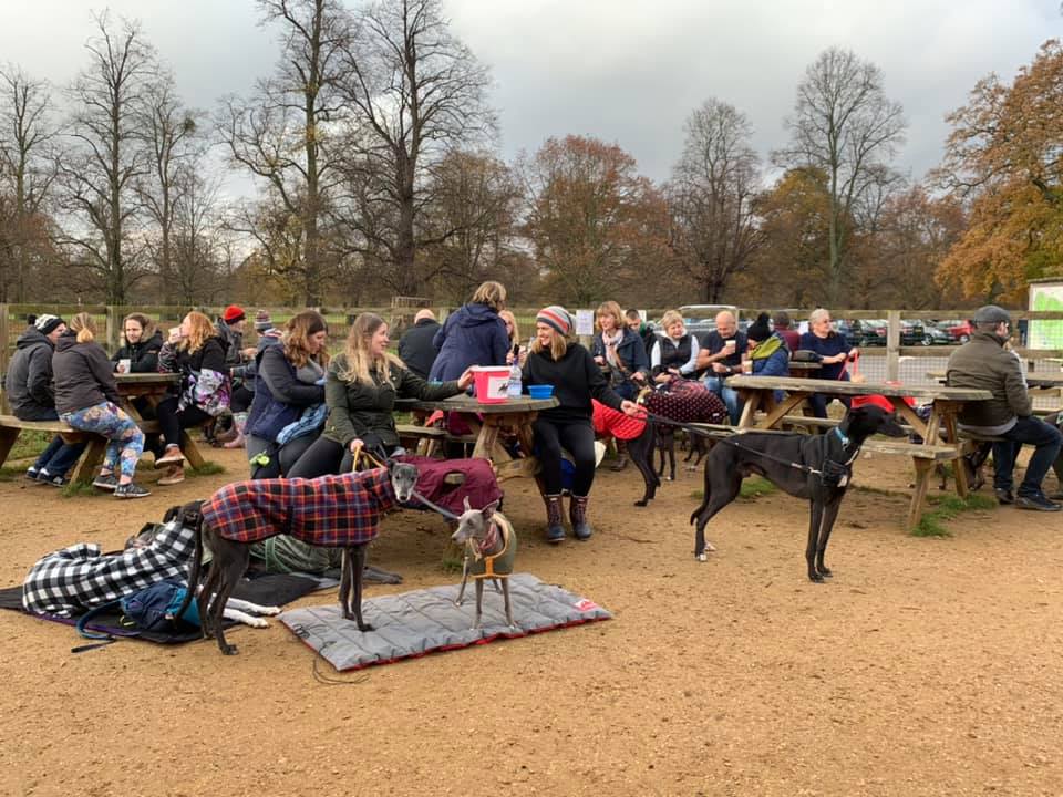
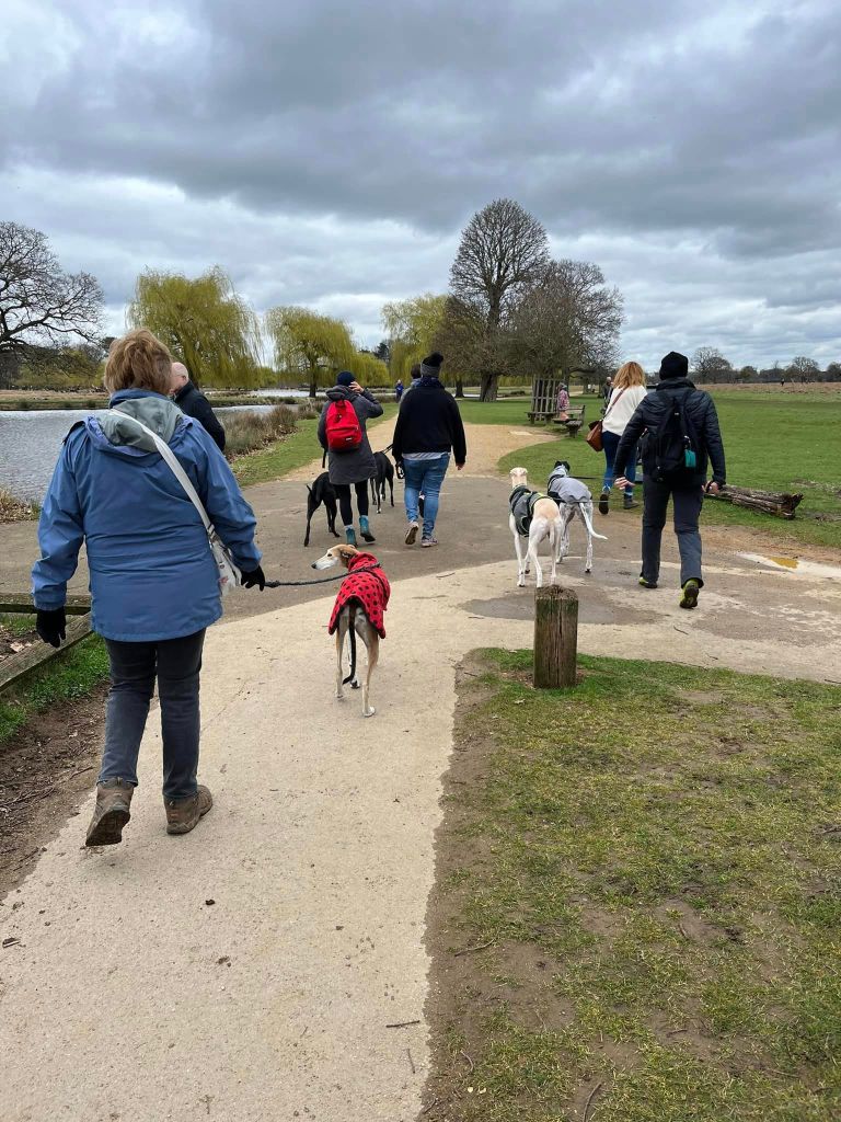
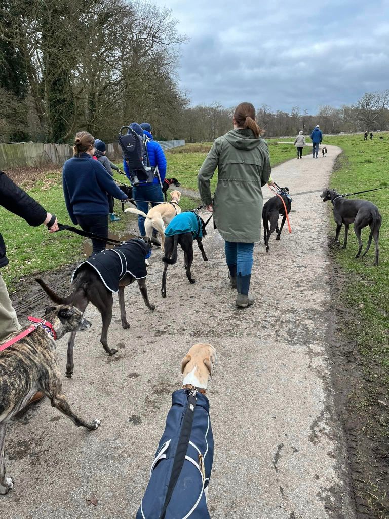
Gallery: What’s it like here?


Instagram reel showing this place
Parking
There are a number of car parks but the walk on this page goes from the Diana Fountain car park near Hampton Court Gate. Parking is free.
WHAT3WORDs: https://w3w.co/soda.taxi.rinse
GOOGLEMAPS LINK: https://maps.app.goo.gl/tYrEvsYYmXn3XgjD9
NEAREST POSTCODE: TW11 0EW gets you into the park and you’ll see the car park as you go around the fountain roundabout
Poo bins?
Plenty around the park, please use them
Self-guided walk
Here is a Footpath app route from the car park by the Diana Fountain at the Hampton Court Gate end of the park. Also on AllTrails.
This lovely flat walk – the route of which was determined by long-term SSWG member Laura H – goes past the model boating lake, Heron Pond and around the Leg of Mutton Pond. Then it’s off towards the Teddington gate via a woodland copse called the Warren Plantation. The route crosses Chestnut Avenue to explore a little of the other side of the park, passing the boundary of the Woodland Gardens (no dogs allowed in there – boo!), before crossing the brick bridge and heading back to the car park up Lime Avenue.
Length: approximately 2.7 miles/4.4 km
Terrain: Flat route through open grass land and some wooded areas. Good paths, mostly surfaced but a few bits are compacted mud. This walk crosses Chestnut Avenue, which is used by cars but it’s not exactly a fast road.
Stiles/kissing gates? No stiles or kissing gates
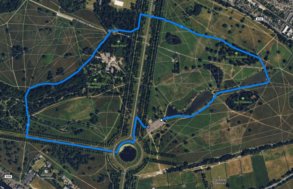
Park in the Diana car park and with the entrance to the car park behind you and the cafe to your right, walk to the far end towards the model boating pond . Take the path that passes alongside the boating pond and follow it with the water to your left.
The boating pond blends into Heron Pond and at the end of Heron Pond, don’t follow the surfaced path around to the left – instead, come off it, passing to the left of a bench to continue straight ahead on the grass along the waterway that connects Heron Pond to the Leg of Mutton Pond.
Walk all the way to the end of the Leg of Mutton Pond and then follow the main path around the pond edge to the left.
At the cross paths just after the water, continue straight on, going over the surfaced path onto the grass path ahead. After a little way, you’ll come to a cross paths. Turn left and walk through the copse – this is called the Woodland Plantation.
Follow this grass/mud path all the way to Chestnut Avenue, passing between the rows of horse chestnut trees to arrive at the tarmac road. Take care and cross over the road. Continue ahead down the bank and through the horse chestnut trees on the other side, then turn left at the cross paths and walk between the rows of trees.
Follow the way around to the right as you approach another road – Cobbler’s Walk – which allows cars access to a couple of the car parks on this side of the park. Cross Cobbler’s Walk and walk alongside the fence/boundary on your left-hand side. This skirts the Pheasantry cafe. Just stay on this path and it’ll straighten out.
Continue ahead with the boundary still on your left. Take care crossing the entrance to the Pheasantry car park and then ignore gates into the Woodland Gardens – dogs are not allowed in there. It’s a long path, just stay on it.
Presently the path will curve around to the left, following the fence line. This part of the path is called Ash Walk. The fenced off area to the right is also part of the Woodland Gardens and also out of bounds for dogs.
Just keep on ahead to the brick bridge. It’s a nice spot over the Longford River (canal) for paddling if you/your dog is so inclined.
Go over the bridge and continue straight, passing between two rows of trees, then turning left onto the wide grassy Lime Avenue. You’ll see the Diana Fountain in the distance at its end. Walk down to the fountain and bear left to go around the roundabout (you may or may not want to cross the road over to be on the fountain roundabout – perhaps to take a picture.)
From here, you should be able to see the car park. You can continue straight across and return to your car by walking parallel with the car entrance. Alternatively, walk up the side of Chestnut Avenue (where it is blocked to vehicles) until you reach the main crossing. Turn right here away from the road and follow this path down through the trees and over a bridge to get back to the car park.
