
About
Gallery
Parking
Poo bins?
Self-guided walk
About
I’m not entirely certain the area that this walk goes through is Effingham Forest but that’s what searching through OS maps, Googlemaps and on Google has led me to conclude. This walk skirts the area that I know as Netley Heath (but that I have fairly recently heard referred to as Francis Corner woods) and along the top of Hackhurst Down, although the line between here and Blatchford Down is also up for debate.
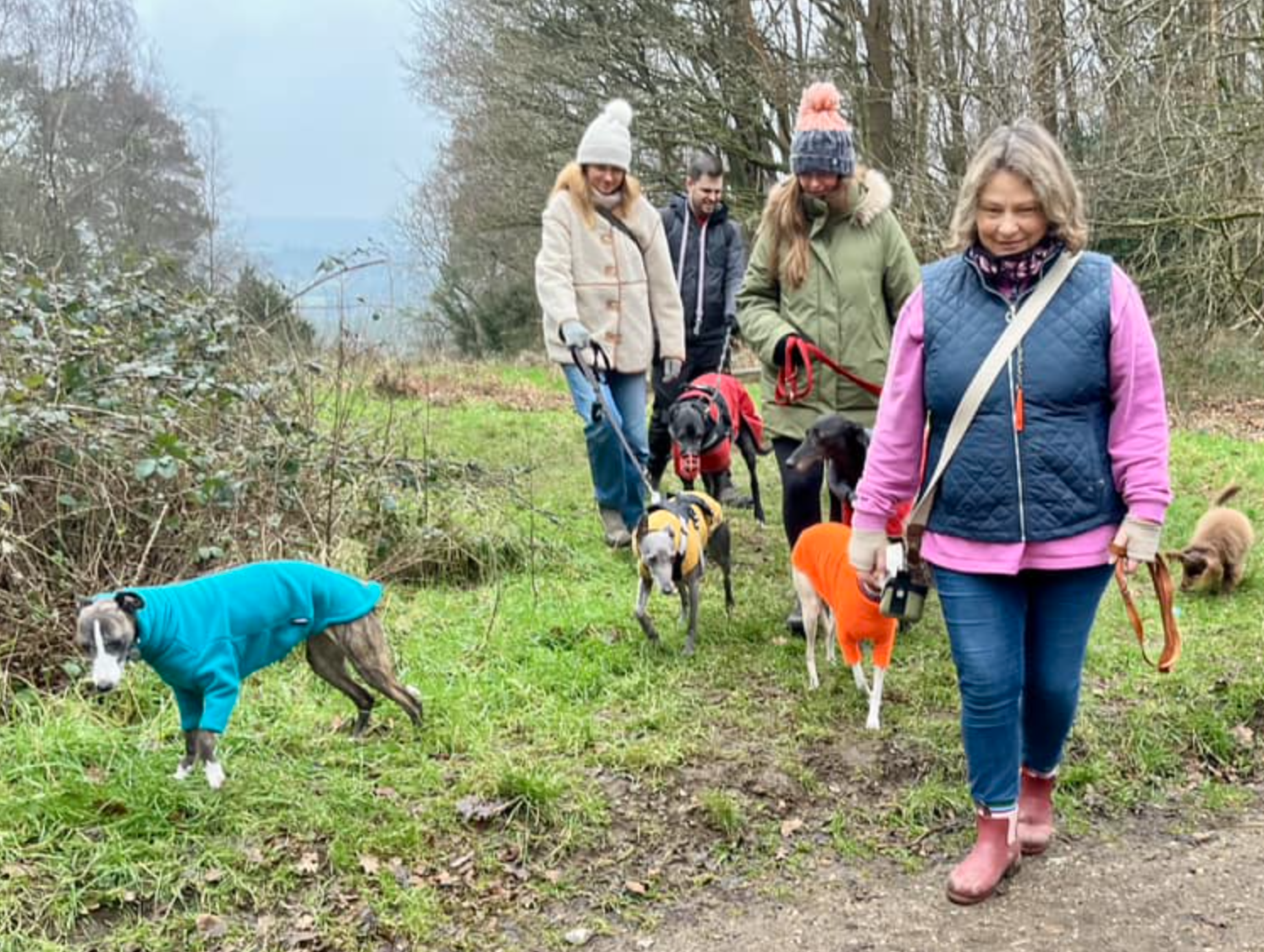
Anyway, this is the south east side of the Green Dene road, south of the Lovelace Bridges – although there are two on this walk that are not on the Lovelace Bridges route on this site – and north of the North Downs escarpment. It’s an eerily quiet and isolated place, clearly not somewhere many people go. The first time I walked around here, I saw only a horse rider. When I returned with some friends for another exploratory expedition, we saw a band of trail runners (on a 10-mile loop from Surrey Trek and Run in Shere), just a few hikers and dog walkers, plenty of cyclists and a few motorised trail bikes. Still, it was a quiet place compared to so much of Surrey.
The old sawmill at the end of Honeysuckle Bottom is closed on a Sunday – and it appears to be for sale at the time of writing – and makes for the kind of scene out of a spooky zombie movie (think ‘The Girl with all the Gifts‘). If you’re looking for a walk that’s really away from it all, this one could be right up your abandoned pathway.
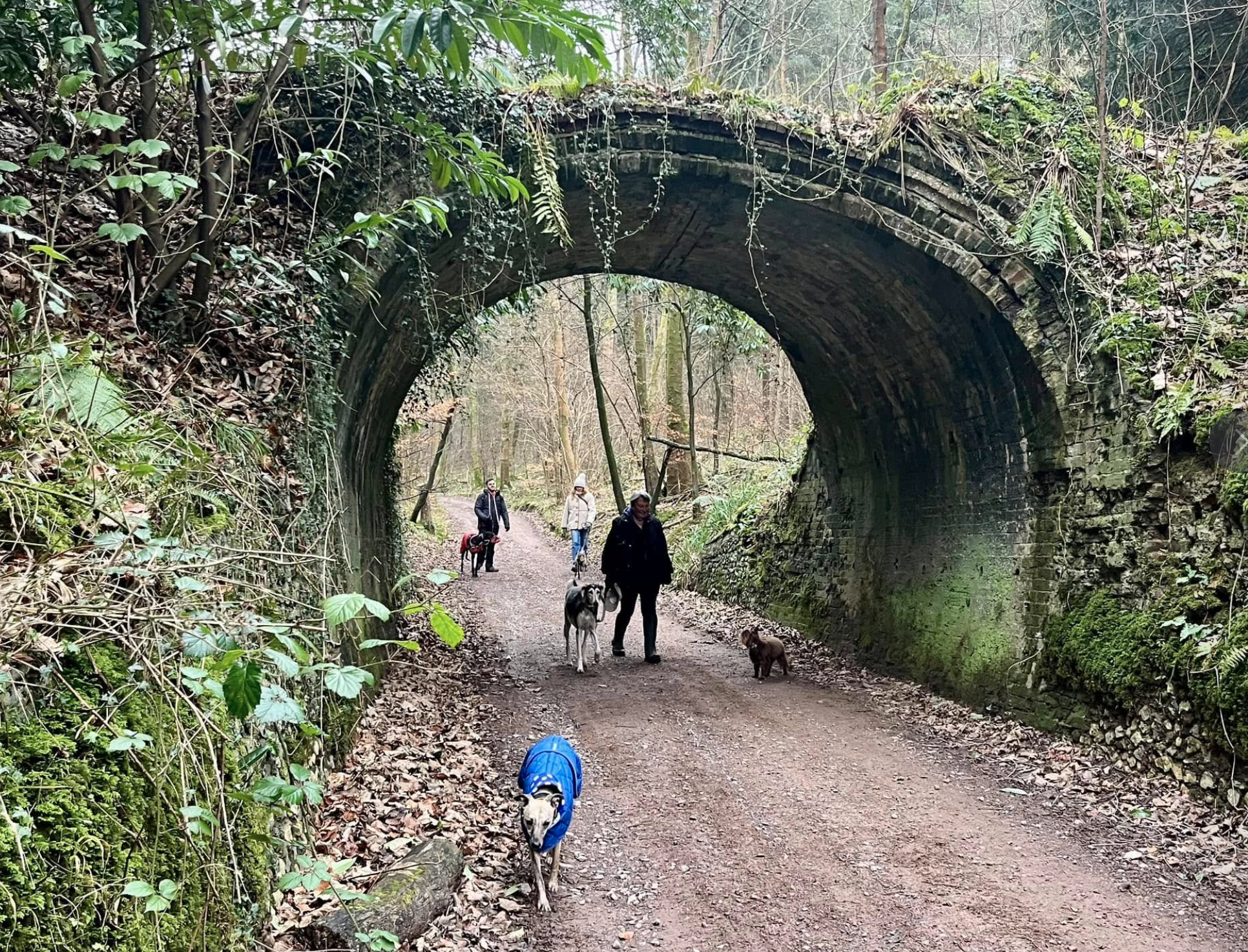
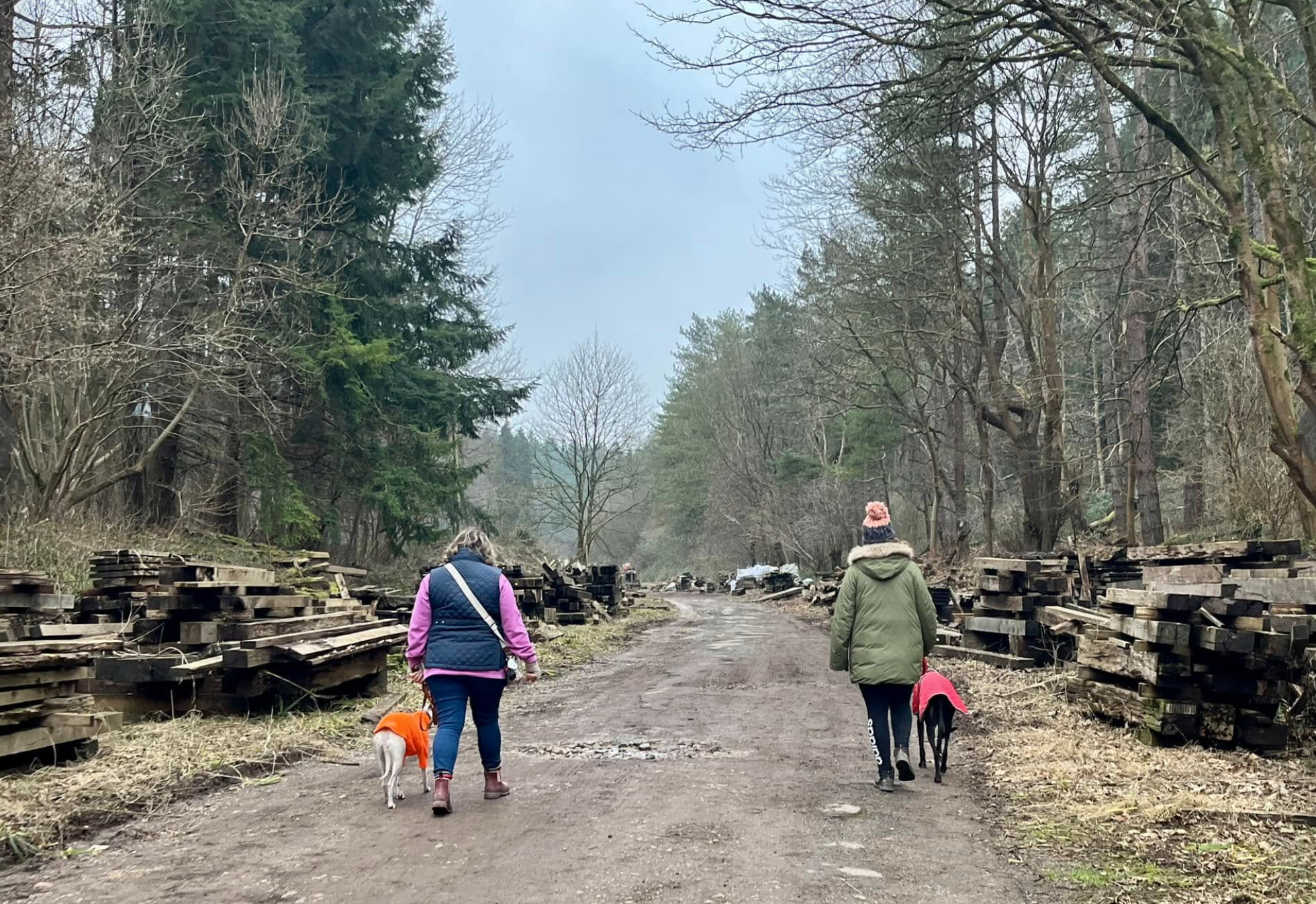
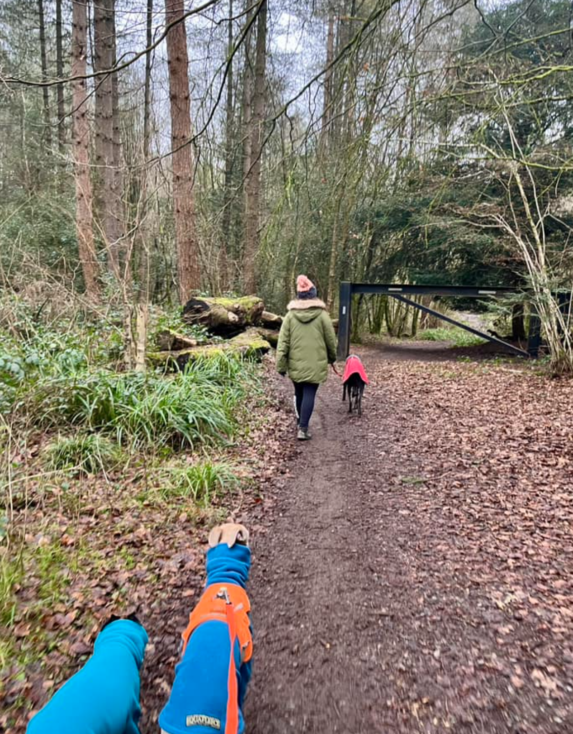
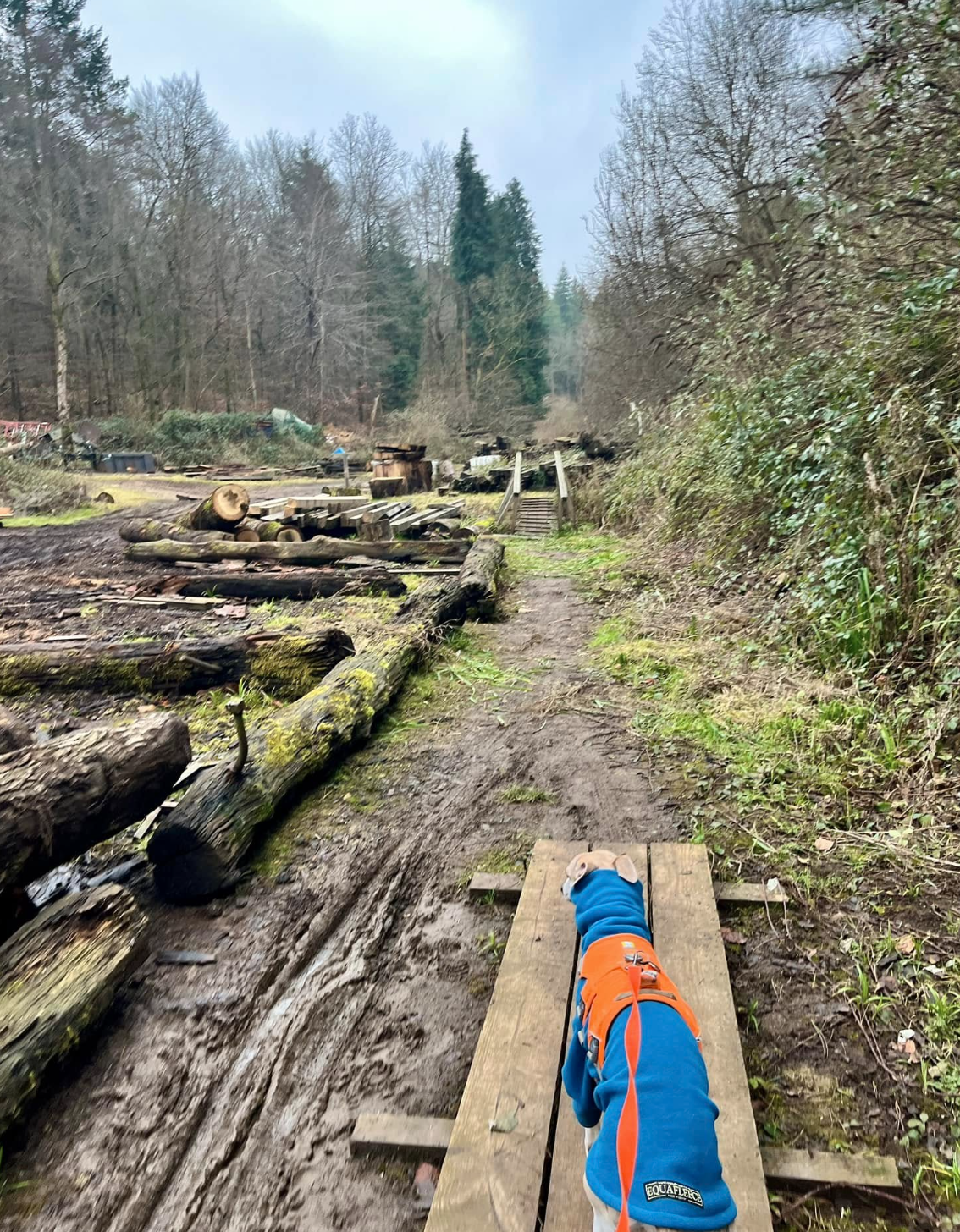
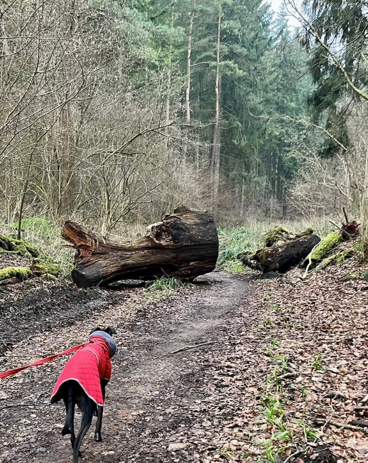
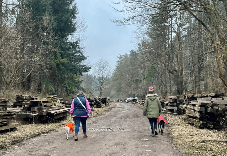
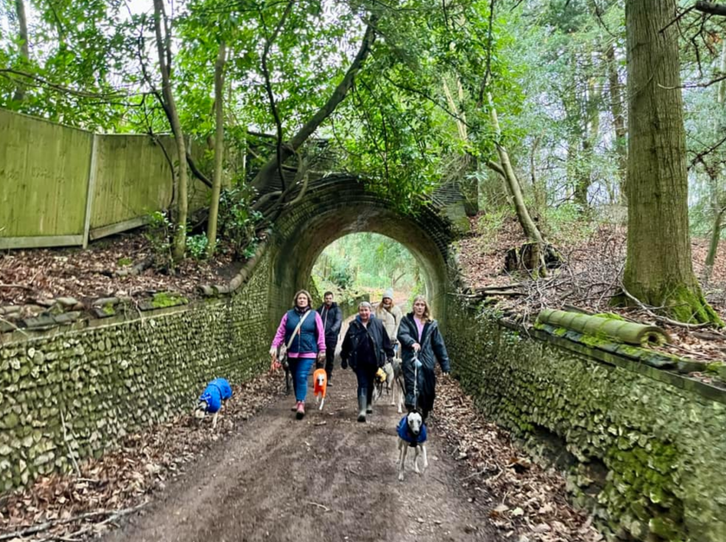
Gallery: What’s it like here?


Parking
Park at the far end of Honeysuckle Bottom where there’s a vehicle gate and a small clearing. Note – take the lane slowly, there are some potholes along it.
WHAT3WORDs: https://w3w.co/copper.edge.taped
GOOGLEMAPS LINK: https://maps.app.goo.gl/udCLR8RChcYgNmty5
NEAREST POSTCODE: KT24 5TD – this should get you part way down honeysuckle bottom, just keep going to the clearing.
Poo bins?
None. This is very much an off-the-beaten track kinda walk.
Self-guided walk
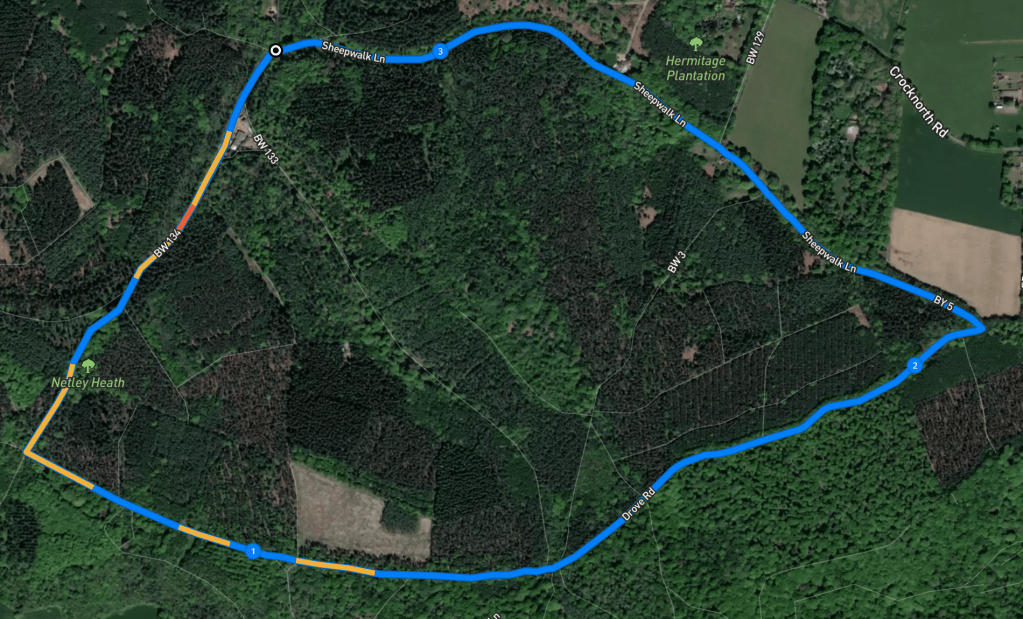
Here is a Footpath app route from the end of Honeysuckle Bottom, starting at the vehicle gate between the lane and the sawmill. Also on AllTrails.
Length: approximately 3.2 miles/5.2km
Terrain: Pretty much flat, the gradients that are on this route are very gentle. Underfoot ranges from manmade pathways to mud. Some bits can be muddy.
Stiles/kissing gates? None
Walk to the side of the vehicle gate towards Honeysuckle Bottom sawmill, passing stacks of wood on either side.
The sawmill buildings will come into view on the left – keep to the right as indicated by the “footpath only” sign crudely painted on a wooden board and go over some planks and up some steps. Follow the path ahead and away from the sawmill, going around a lump of fallen tree.


This route really is extremely simple. Follow this path ahead between tall coniferous trees for aaaages until you get to the end of it. To the right just before the end, there’s a big concrete circular structure – this is an old reservoir, and my Netley Heath walk passes it but coming from another direction.
At that T-junction by the reservoir, turn left and head towards the viewpoint. Manage your expectations. You’ll come to it quite some way along this path. It’s got a sign next to it reading “Little Kings Wood viewpoint” so that’s how you’ll know you’re there. Some facts lifted from my Netley Heath page: the viewpoint is at a part of the woods known as Little Kingswood. This is now a beech plantation but originally supplied coppiced timber for fuel. From the viewpoint here you can see the hills of the Greensand Ridge running parallel to the North Downs. To the right is St Martha’s Hill, to the left is Leith Hill (the highest point in Surrey), and in the centre is Holmbury Hill.

When you’re done at the viewpoint, continue on your way – again, for quite some way. You’ll eventually come to a black barrier.
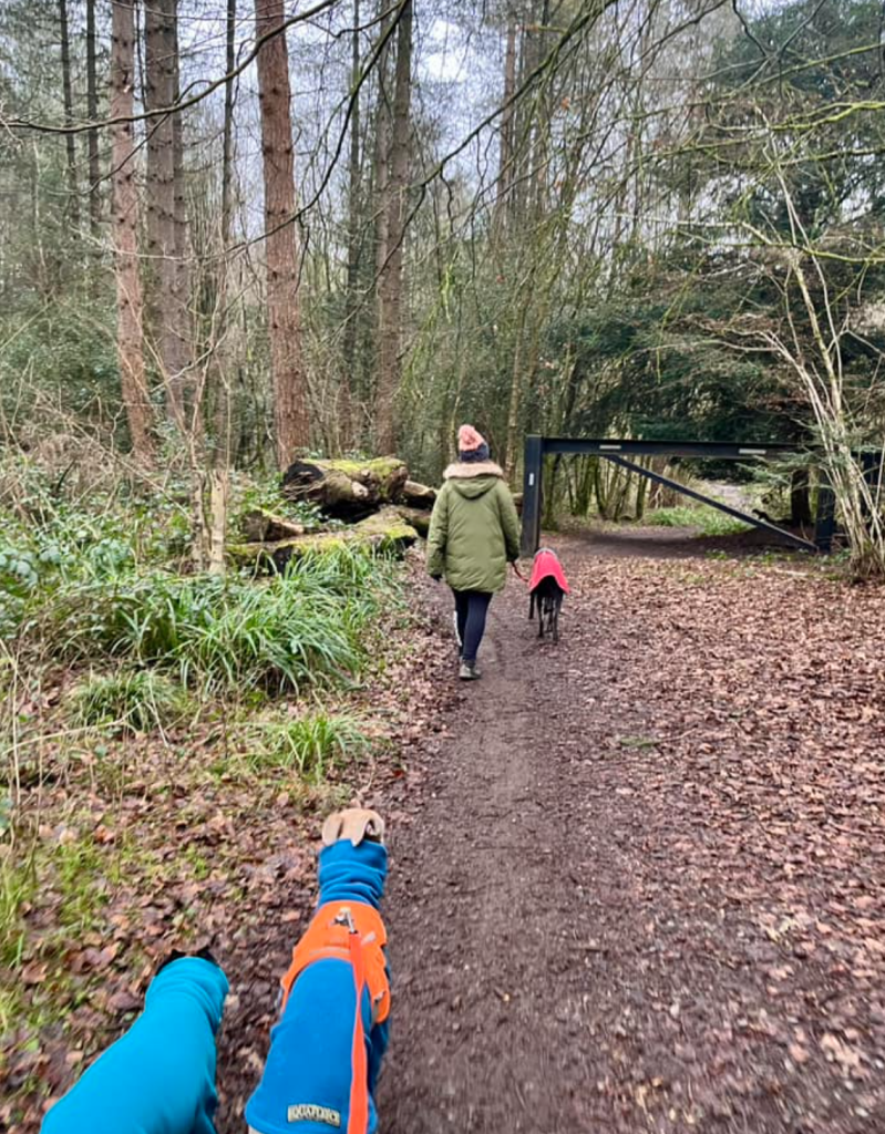
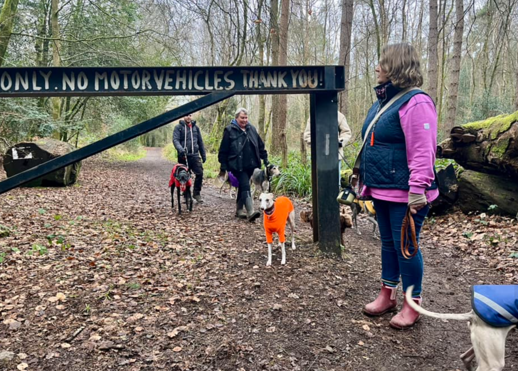
When you pass this, you’ll see another just like it over to the right. Both have white writing painted on, explaining that the right of way to the right is a Byway Open to All Traffic, whereas the path you’ve been walking on is not (hmm, we saw motorbikes on it on the day these photos were taken and this post was written).
Continue ahead here, ignoring some paths to the left and right (although I may return to this page with a different route that follows one of those on the left but only time will tell if I do…)
You’re now walking on Drove Road – in the olden days, farmers used to move their livestock along it. To your right is White Downs (this website has a walk for there too). Keep going until you come to another large barrier – pass this and immediately turn left. You’re now on a byway called Sheepwalk Lane. There’s a field over to the right.
Stay on Sheepwalk Lane now until it brings you back to where you started this walk. On your way, you’ll pass a few residential dwellings – they look idyllic but I don’t know if I’d be happy living in such an isolated spot where the zombies could get you and nobody would hear your screams. You’ll also pass under two Lovelace Bridges, the first being Hermitage Bridge and the second is Troy Bridge.


Leave a comment