
About
Gallery
Parking
Poo bins?
Self-guided walk
About
Abinger Common is an area of thickly wooded sandstone heath to the south-west of Dorking and, within a headwater ravine here, you’ll find the tiny, remote hamlet of Friday Street. Situated on the gentle lower north slope of Leith Hill, there’s not much of note here – and that’s part of its charm; it feels a little like a step back in time.
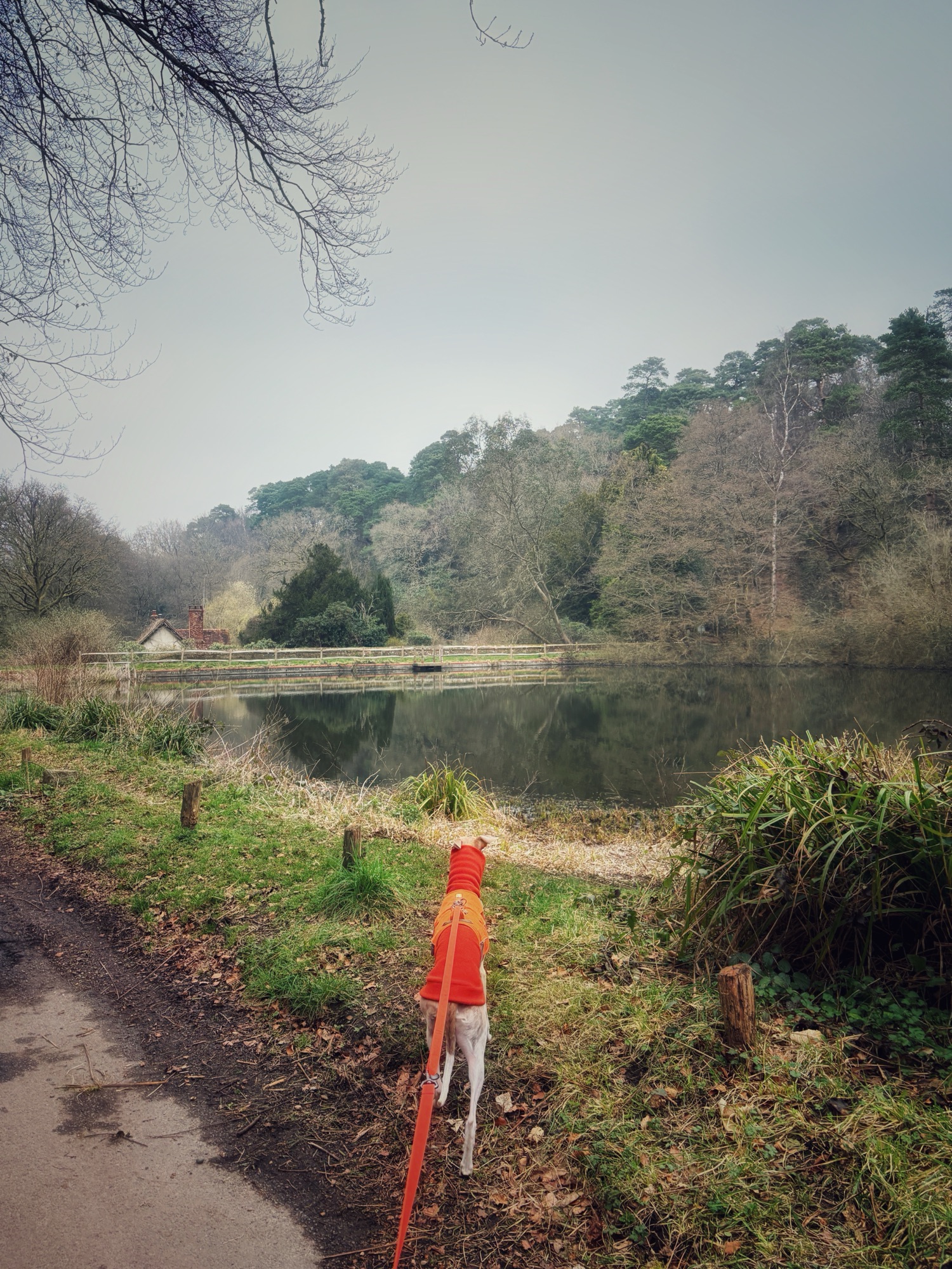
The River Tillingbourne runs through Friday Street and there’s a mill pond at the intersection of lanes at the heart of the village. While it appears there was a corn mill here by the early 1600s, it is thought this pond may have been constructed to power a hammer for working iron.
Stephen Langton, who was Archbishop of Canterbury from 1207 until his death in 1228, was born around 1150 – apparently in Friday Street, although this isn’t confirmed. There used to be a lovely pub here bearing his name, but it closed during the pandemic.
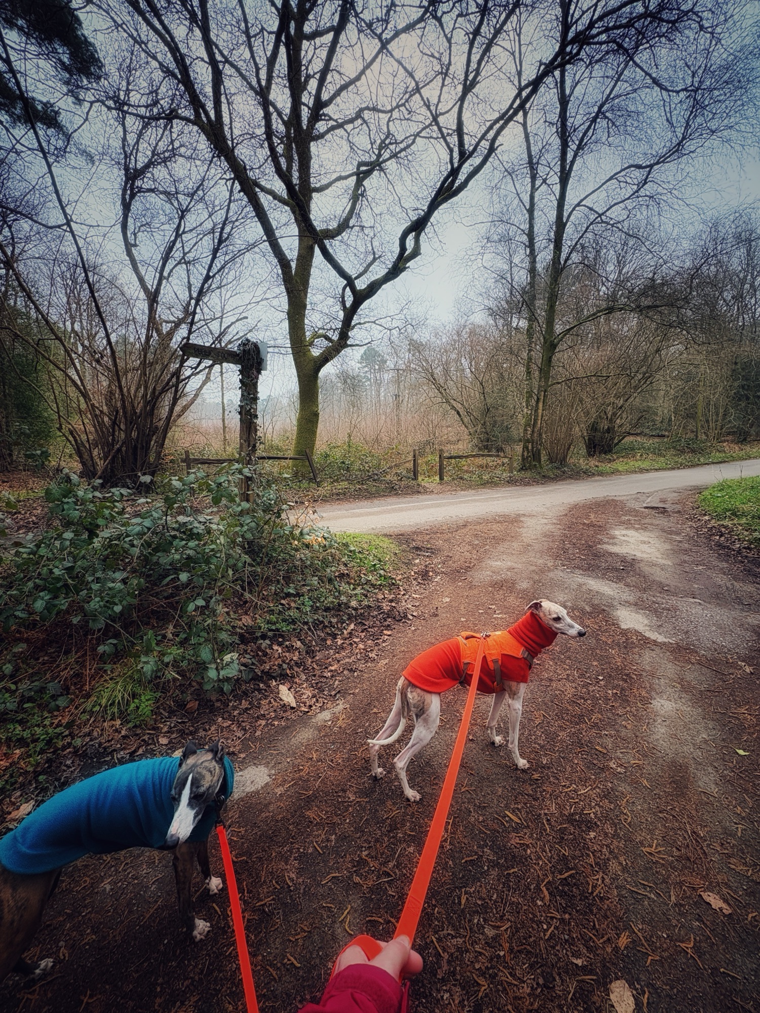
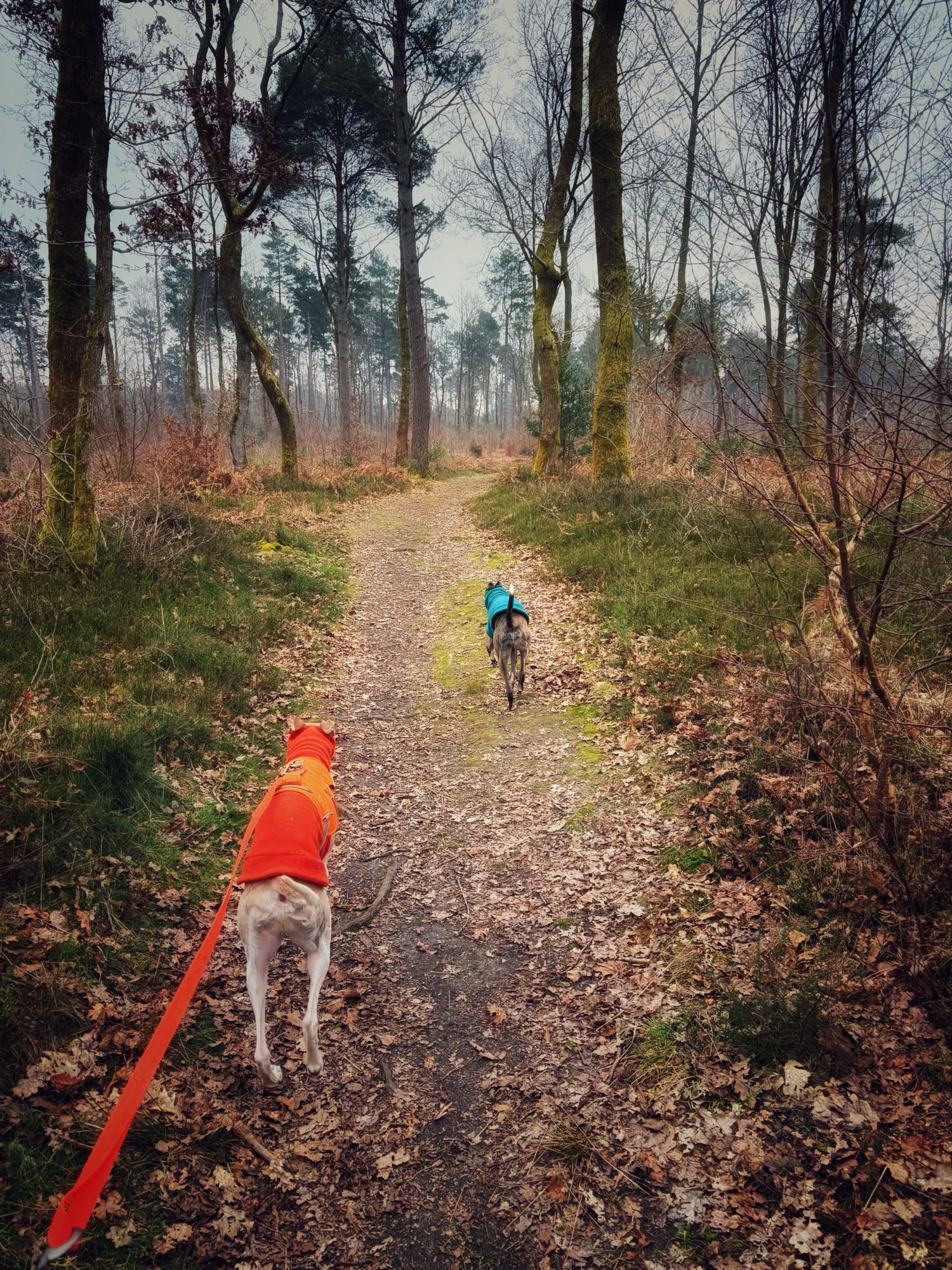
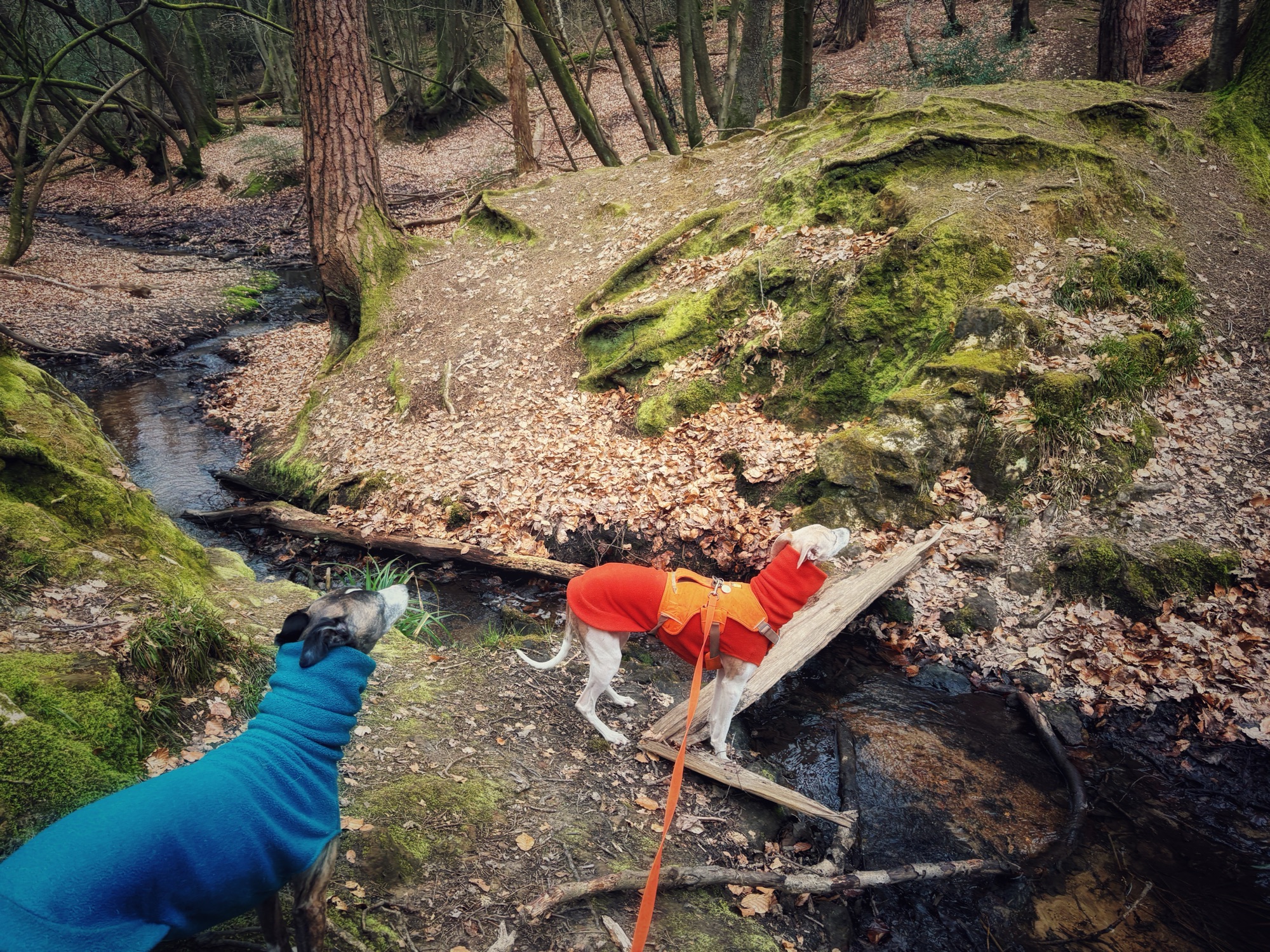
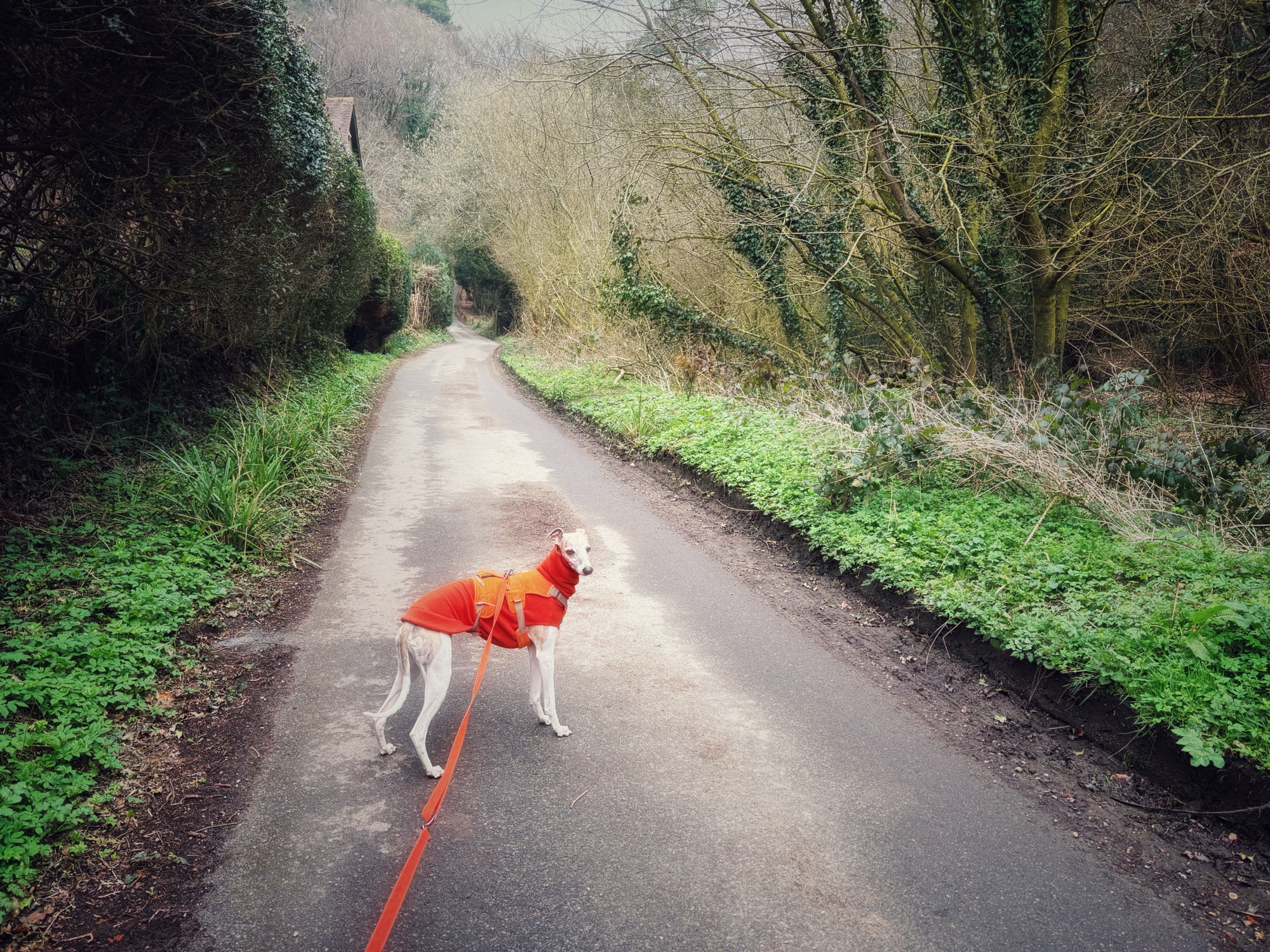
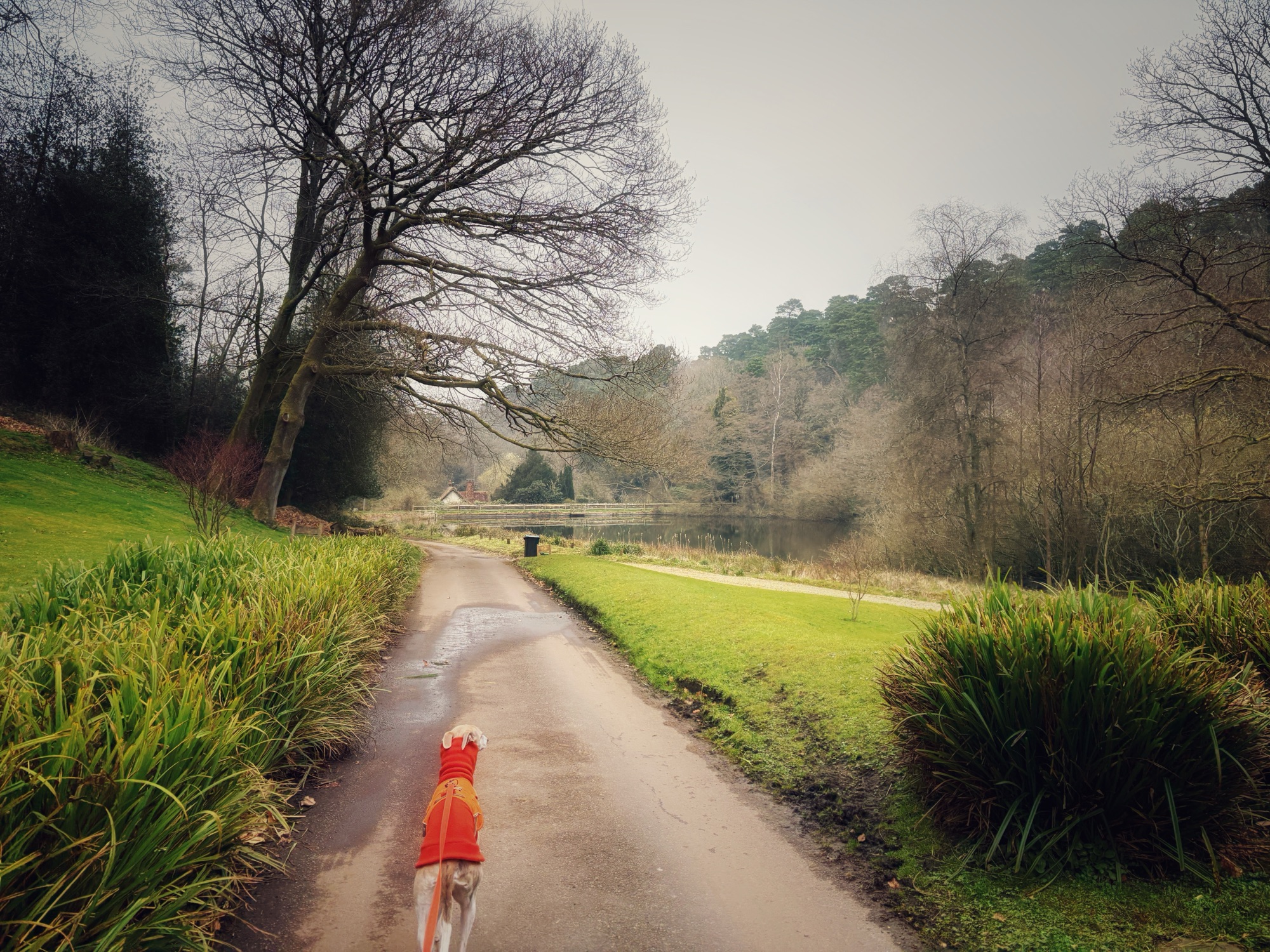
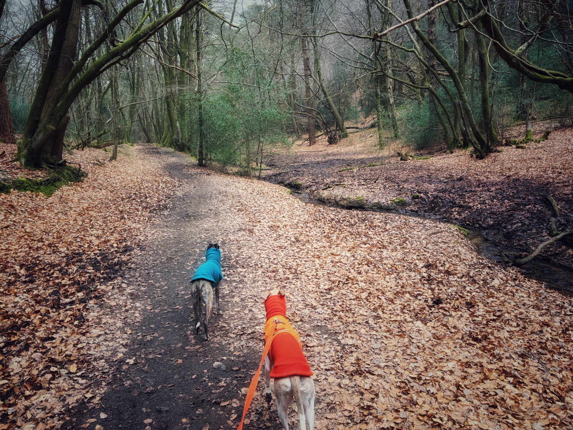
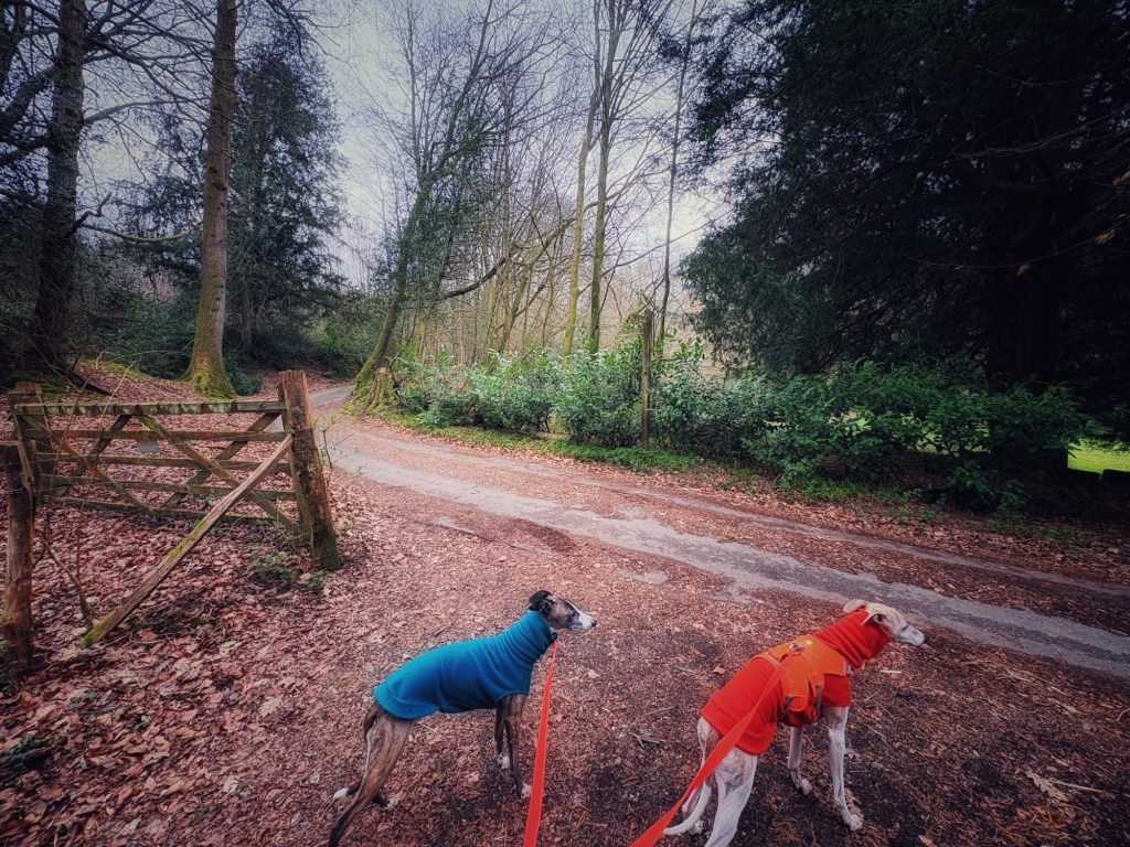
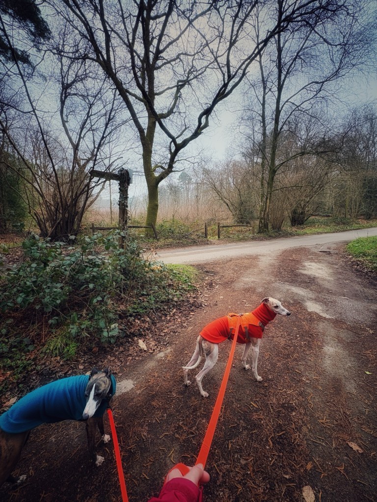
Gallery: What’s it like here?


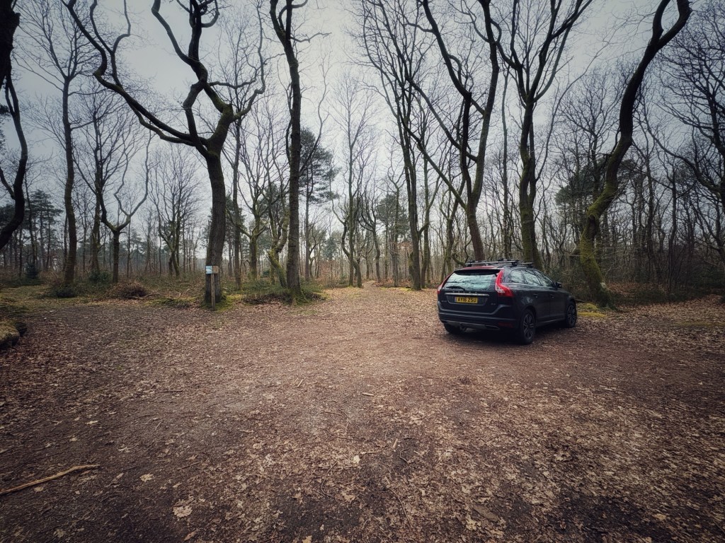
Parking
There is a large, free car park at Friday Street. If you’re travelling southbound down Hollow Lane from Wotton, take care on the left-hand turn onto Friday Street – it’s extremely sharp.
WHAT3WORDs: https://w3w.co/edits.table.horn
GOOGLEMAPS LINK: https://maps.app.goo.gl/xY5GzsVj6TjWe1u87
NEAREST POSTCODE: RH5 6JR
Poo bins?
None. Please take waste with you,
Self-guided walk
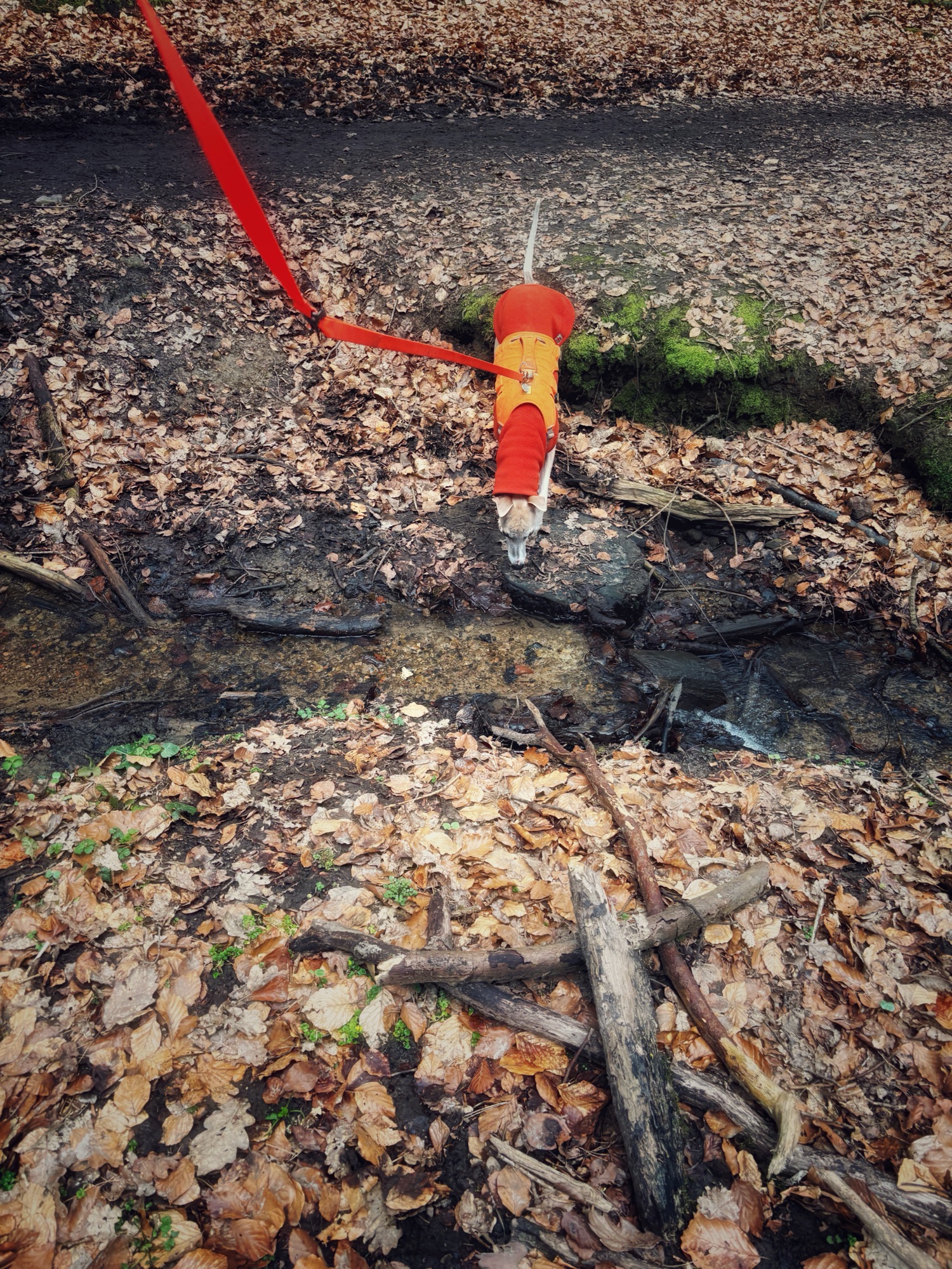
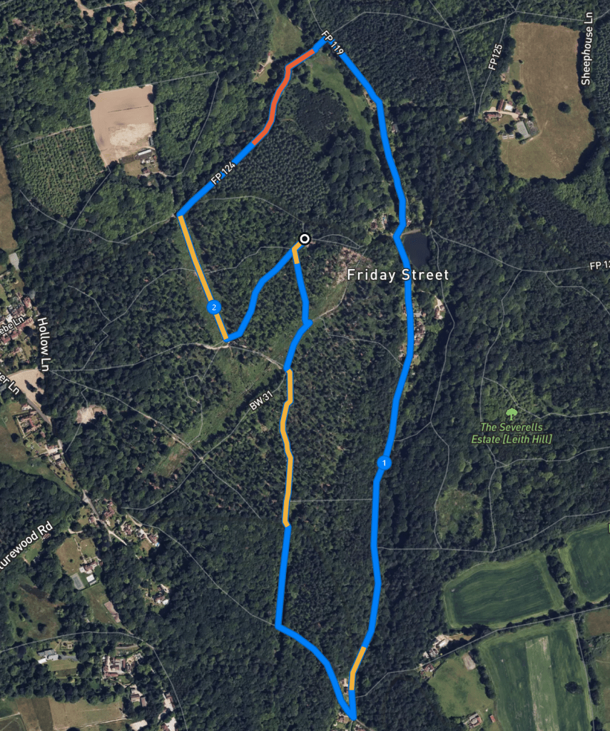
Here is a Footpath app route from Friday Street car park. It takes you through Abinger Common and along the side of a little stream leading to Friday Street. Also on AllTrails. You’ll go through the middle of the village and then loop back round to the common. There’s a little ford to cross, but it isn’t deep and there’s a footbridge if you wish.
Length: approximately 2.2 miles/3.5 km
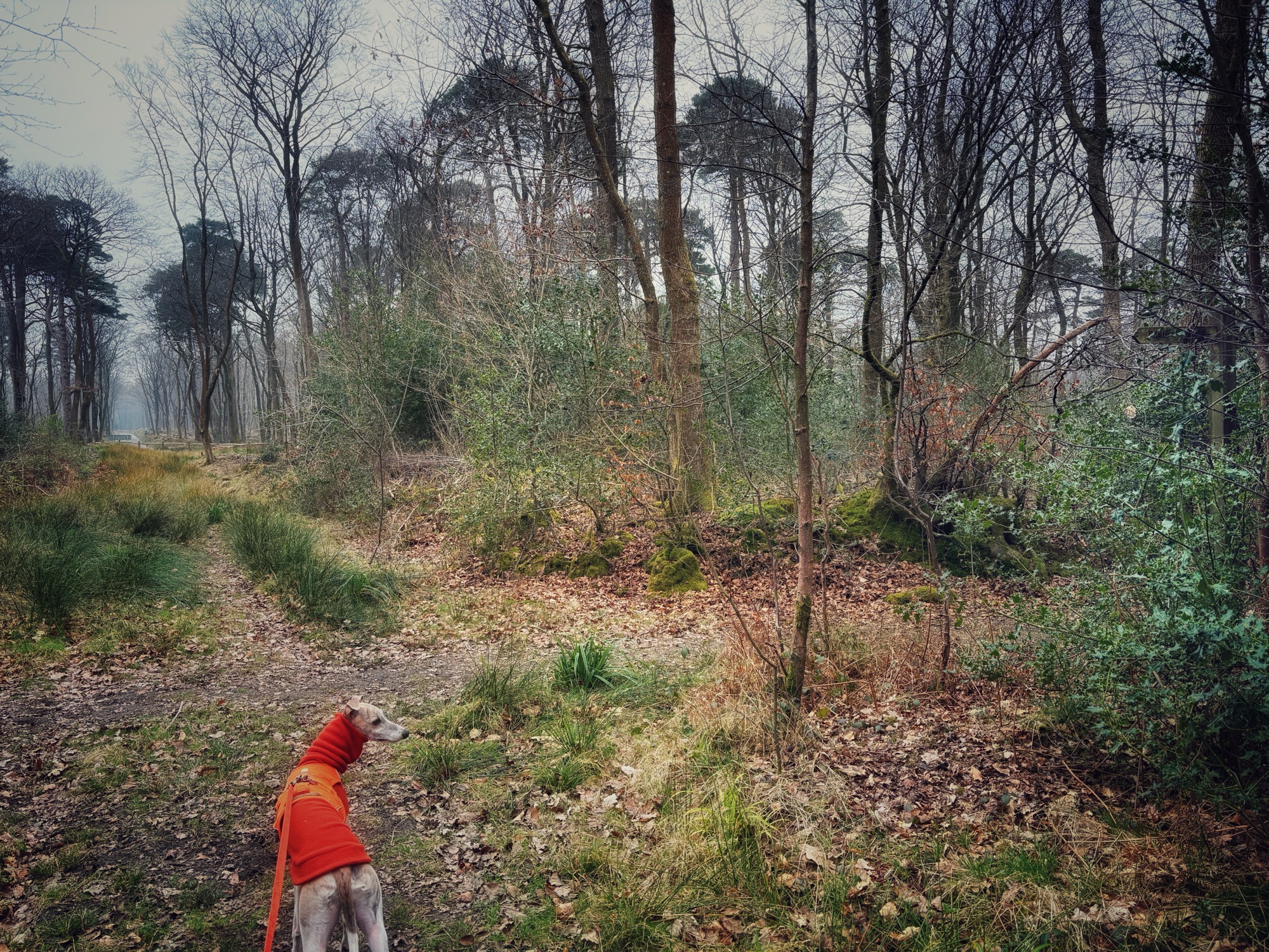
Terrain: Considering this is a walk in the heart of the Surrey Hills, it’s a remarkably flat route for the area with just a couple of slopes. Most of the walk is on mud paths but some is along quiet lanes too. The sunken path alongside the stream can be muddy, but there is a higher path running alongside it, although take care on this as there are uneven tree roots to trip over.
Stiles/kissing gates? No stiles, one kissing gate
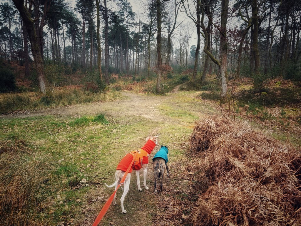
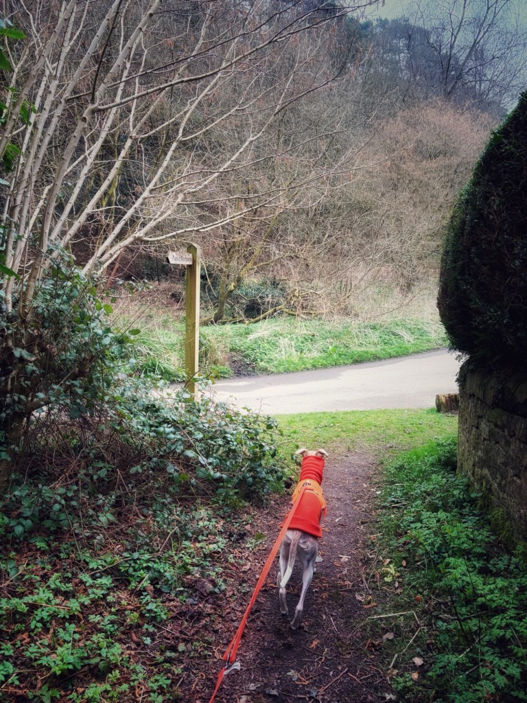
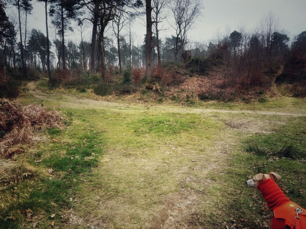
Standing at the notice boards with the entrance to the car park behind you, you’ll see ahead of you that there are three paths leading away from the car park (the one on the right is really small). Take the left-hand path.
Follow this down to a clearing where several paths come together. Continue straight ahead here – the low path on the left of the two that appear to go ahead (not the one that goes up a little mound and then bends to the right to run alongside a sunken path).
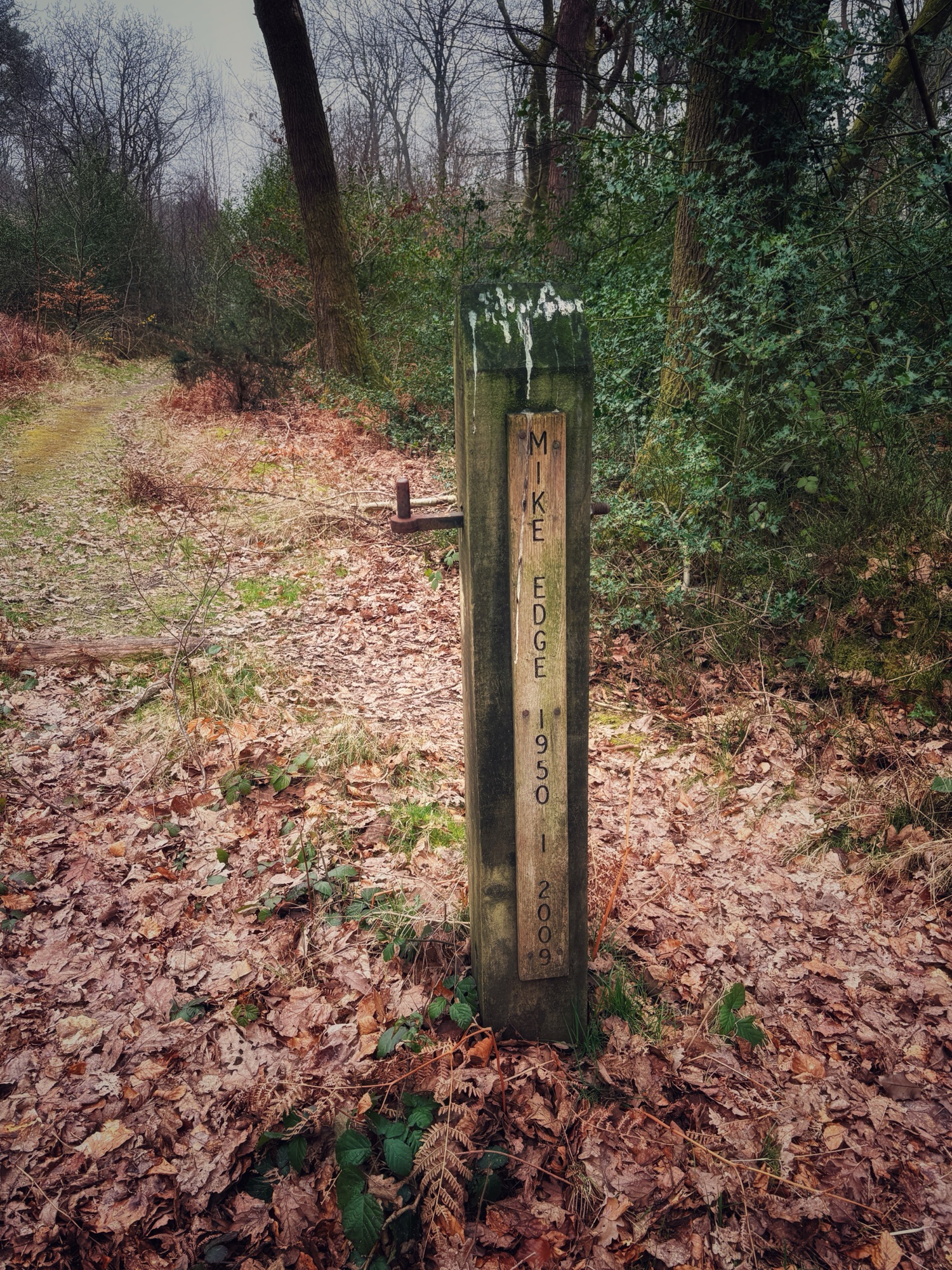
You’ll come to Abinger Common Road. Cross here, passing a post engraved with Mike Edge 1950 – 2009. I think this is weird because my dad was called Mike (which is why Mike whippet is so-called) and he was born in 1950 and died in 2009. His surname wasn’t Edge though, of course. Anyway.
It’s straight on over the road. When you get to the cross paths where there is a finger post to the right and you can see the back of a road sign on the corner of Leith Hill Road further ahead, turn left.

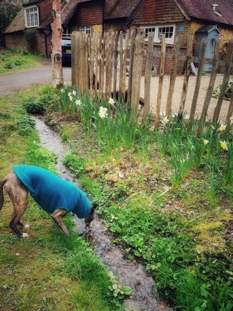
The path will descend, gently at first and then more steeply. It’ll go down the side of a residential property and bend to the left, bringing you out on Abinger Common Road. You’ll want to turn left onto the road here. (But first, take in how picturesque it is here – there’s a little stream trickling down in front of the house over to the right by the dead end sign, a very nice spot for dogs that would like a drink.)

Anyway, back to where the footpath joined the road. Turn left and walk along the lane. I have never seen a moving vehicle on this road. Just after the house on the left, by a finger post, come off the road onto a footpath heading right and into the woods.

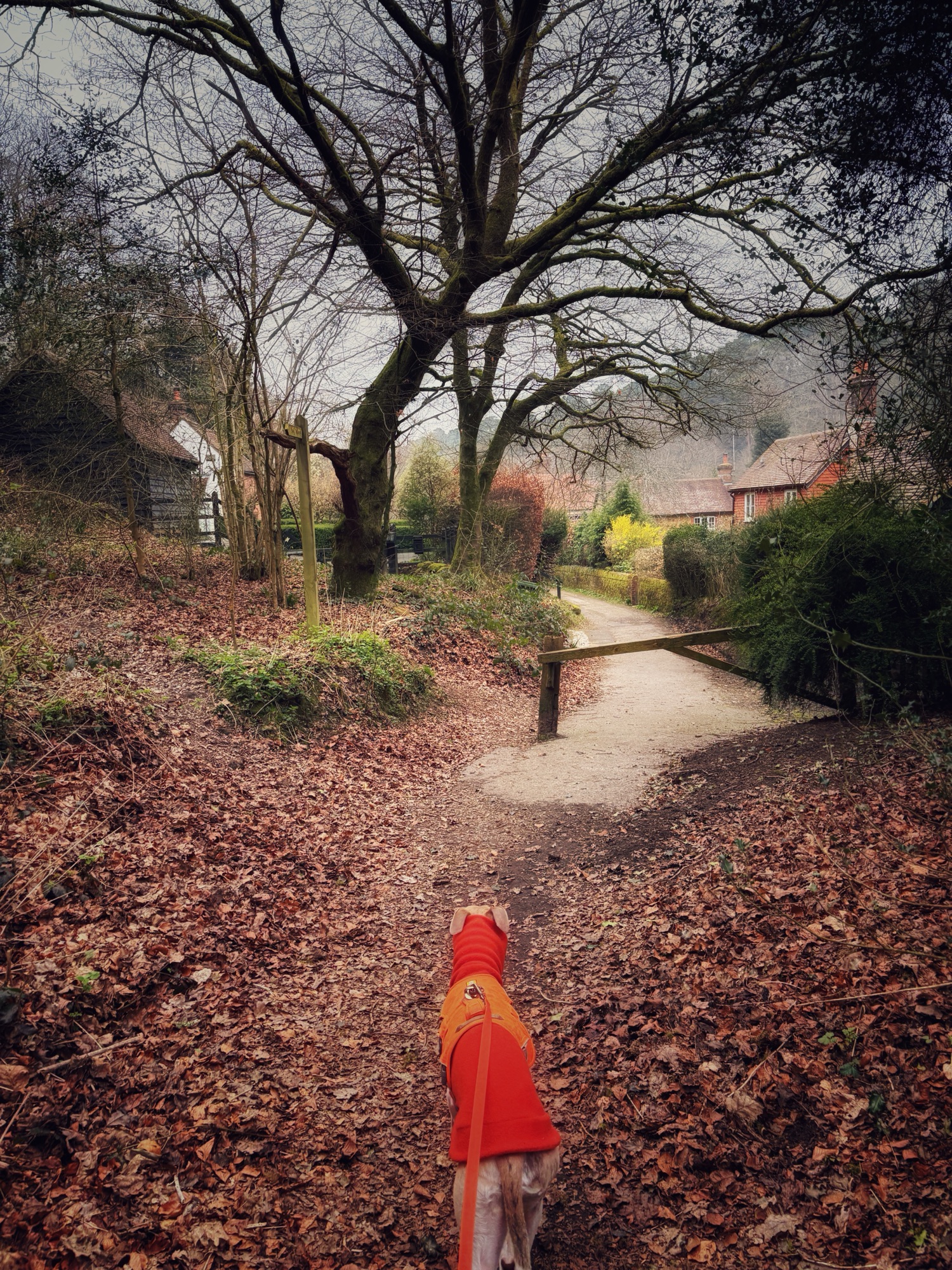
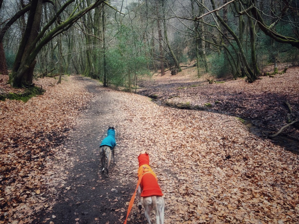
This is a lovely path that runs alongside the stream I mentioned earlier. Stay on this path for ages. (Out of interest, you’ll pass a footbridge to the right which leads into a spot of woodland called Severells Copse). The path ends at the village of Friday Street – continue ahead on the quiet lane, passing what used to be the very lovely Stephen Langton pub (now converted to houses) and the mill pond will come into view.

At the end of the lane, with the mill pond on your right, cross straight over the road (called Friday Street) and go down the lane ahead where there’s a white sign that reads “private property”.
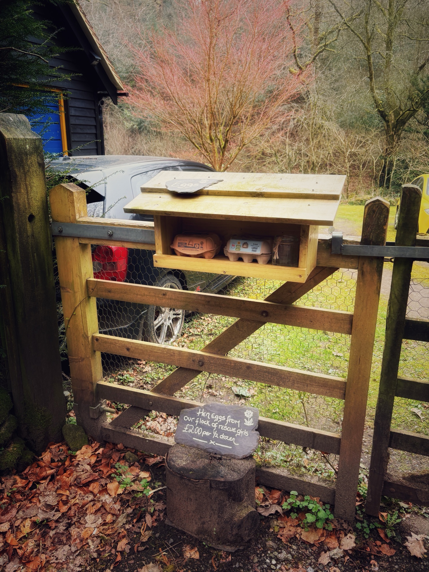
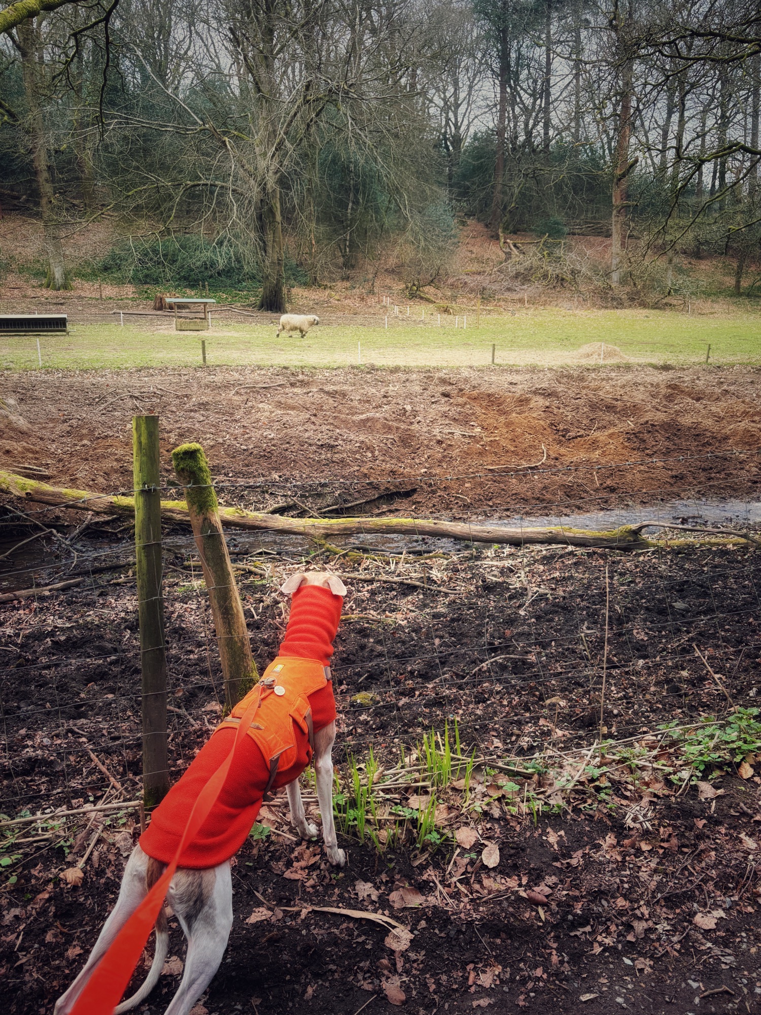
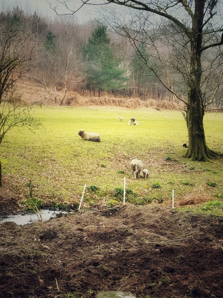
Pass Pond Cottage and keep going. Be warned, behind the hedge to the right, there are loads of laying birds and hens to the left. Cross the ford (I like to paddle through but there’s a bridge if you prefer) and continue ahead. At the time of revisiting to write this route up (March 2025), it’s lambing time and there are little lambs in the fields to the left.
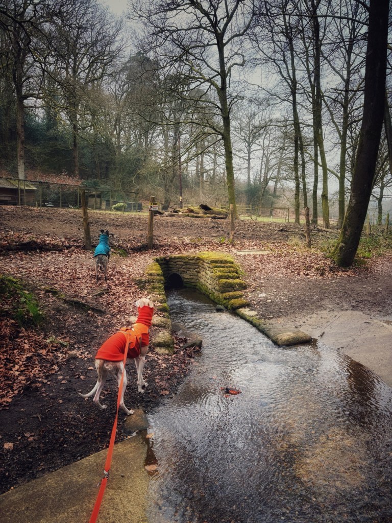
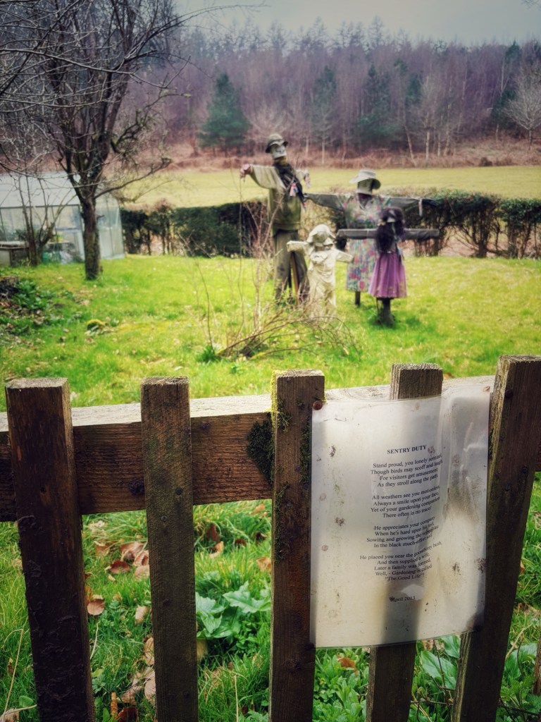
At the end of the lane, by a sign for High Trees, bear to the left. Pass the cottage and the scarecrows and keep going. At the end, turn left and cross the bridge, then go through the kissing gate.

Continue ahead up the hill until you get to the lane. Turn left and keep going upslope to its end. Cross the road (Friday Street again) and go between the two little posts.
Walk straight ahead on this open path through Abinger Common until you get to the cross paths.
Turn left and then immediately left again onto a little path that almost sends you doubling back on yourself.
Passing a little tree stump, you’ll then go up a short, sharp slope and it’ll flatten out. Follow this back to the car park.

Leave a comment