
About
Gallery
Parking
Poo bins?
Self-guided walk
About
Arbrook Common is part of the Esher group of Commons but has quite different characteristics. Situated between the London Clay belt and the Bagshot Sands it is about 50 acres of flat low-lying land, very wet in parts – even in dry summers. Historically it was open pasture and just 50 years ago was still mostly open grassland. Since then it has reverted entirely to woodland as grazing declined and ceased altogether around 1940. Arbrook was designated a Site of Special Scientific Interest in 1955.
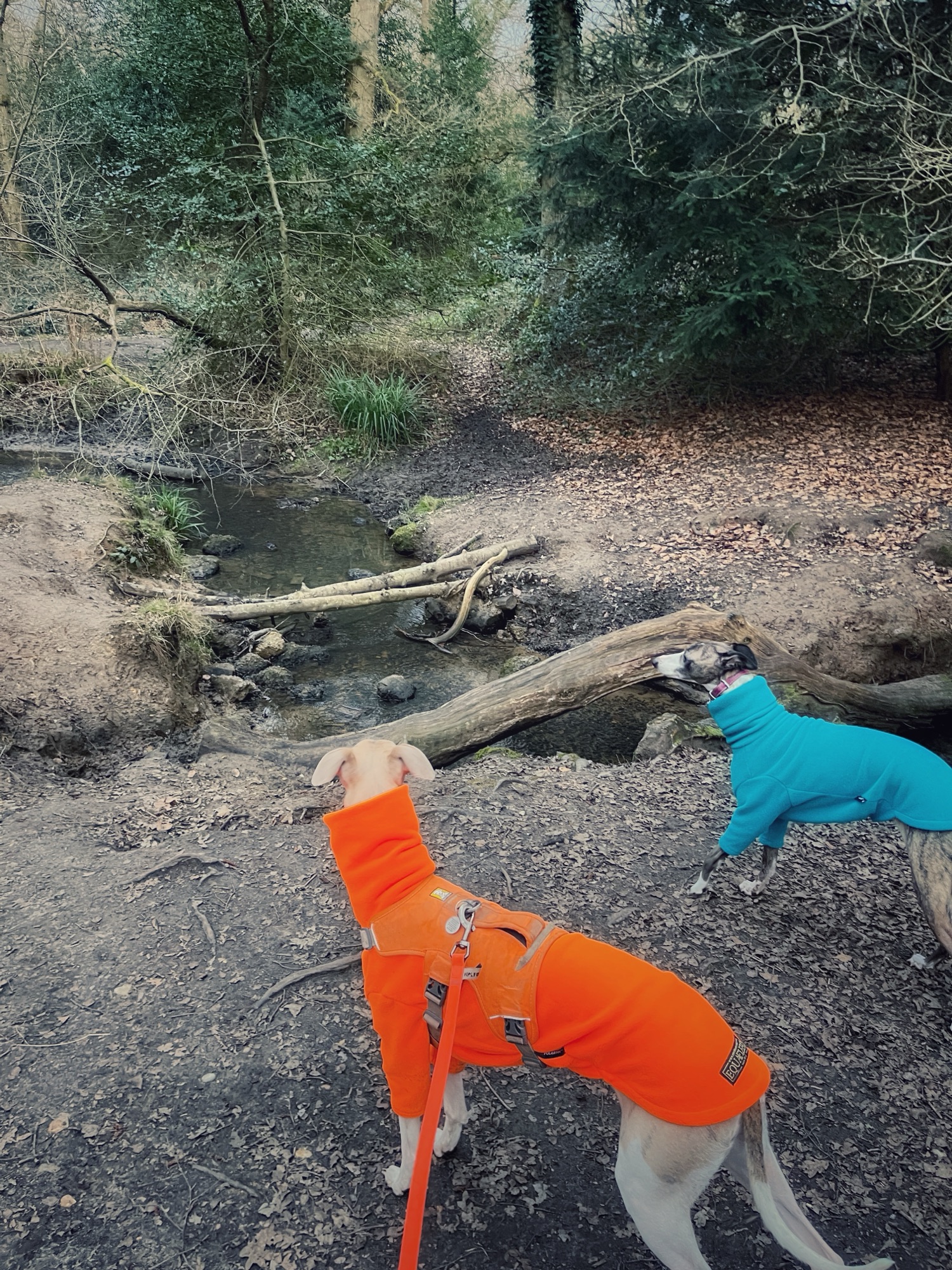
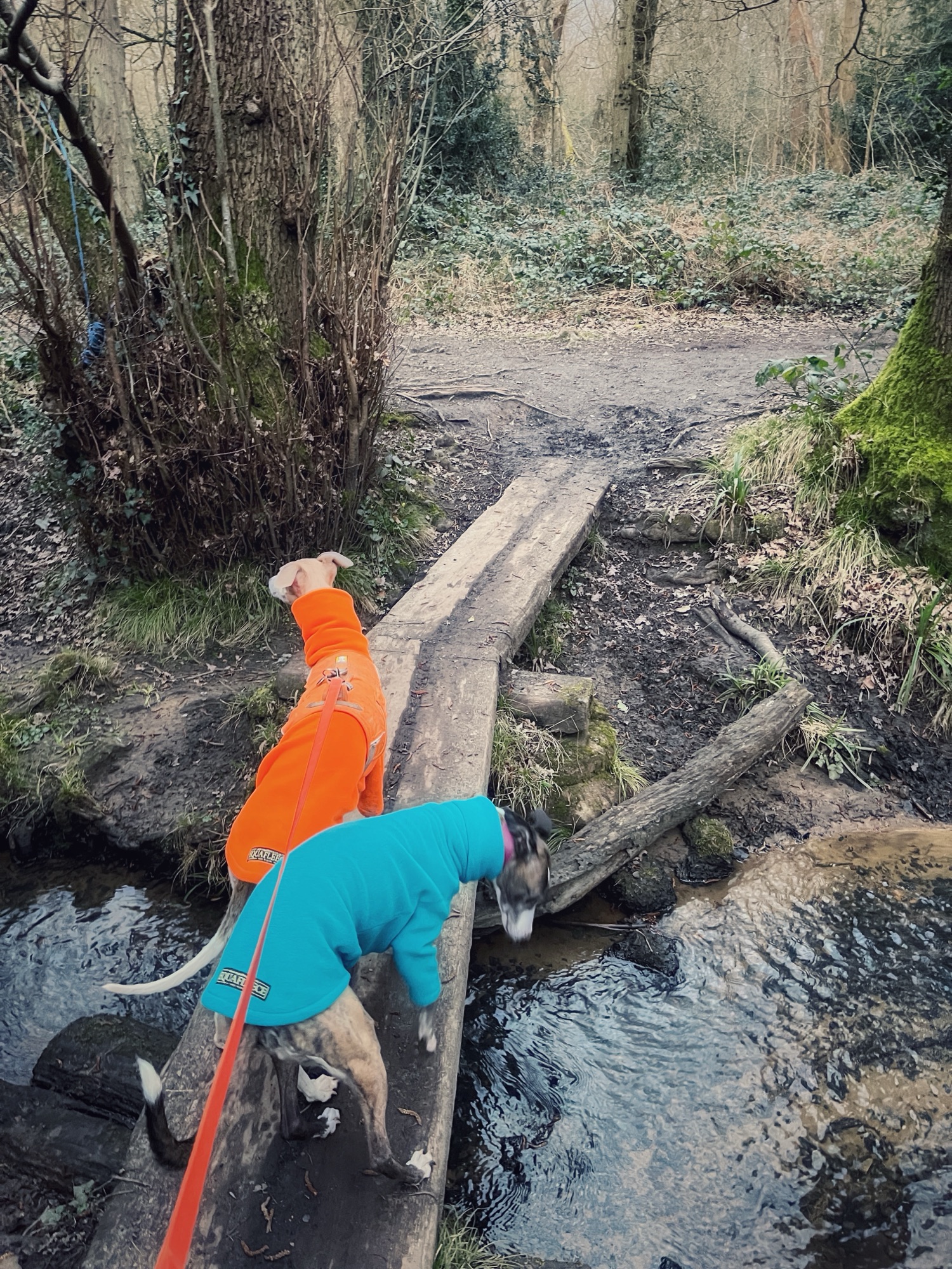
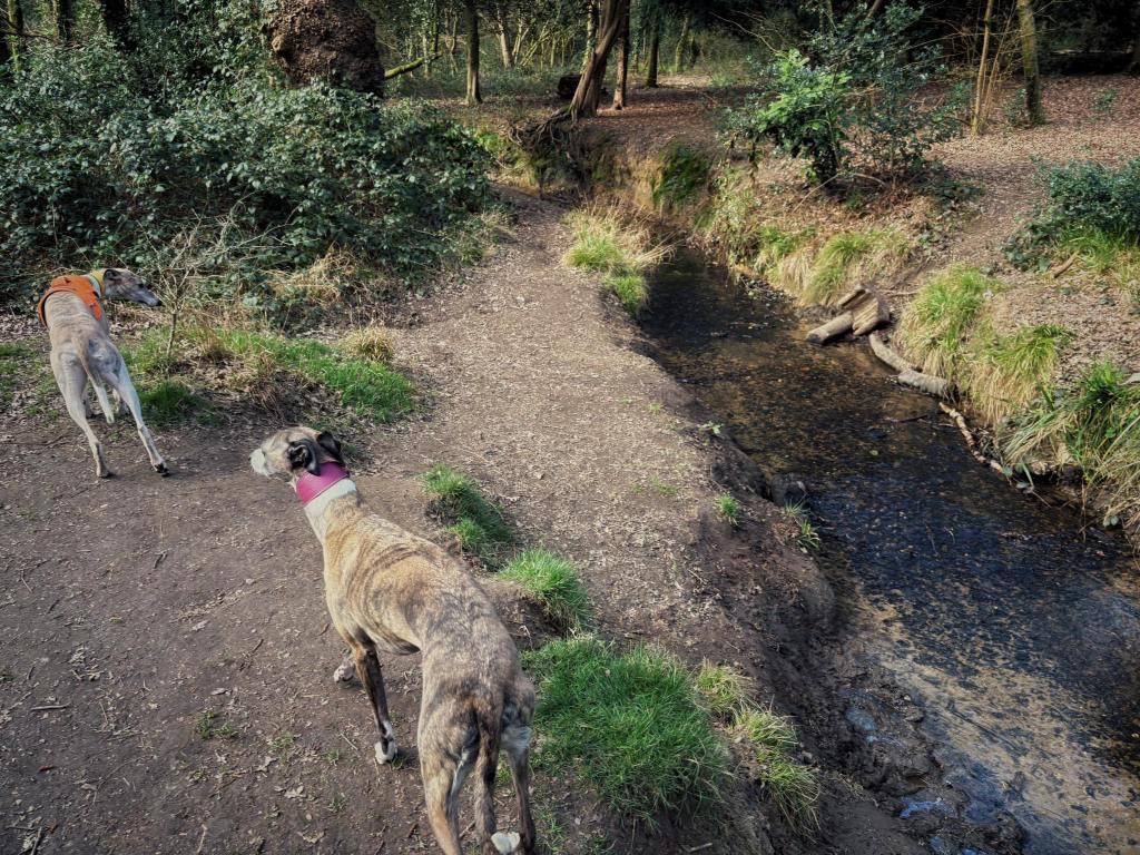
The earliest written record for Arbrook is as ‘Alorbrok’ in 1005. It means ‘Alder Brook’ and the alder trees from which it gets its name are still there 1,000 years on, marking out the path of the stream as it crosses the common. The stream is a branch of the Rythe, which is a tributary of the River Thames.
While in the winter months it is extremely wet and muddy here, this is a particularly lovely place to visit during the summer, where the woods provide shade and there are plenty of paddling spots.
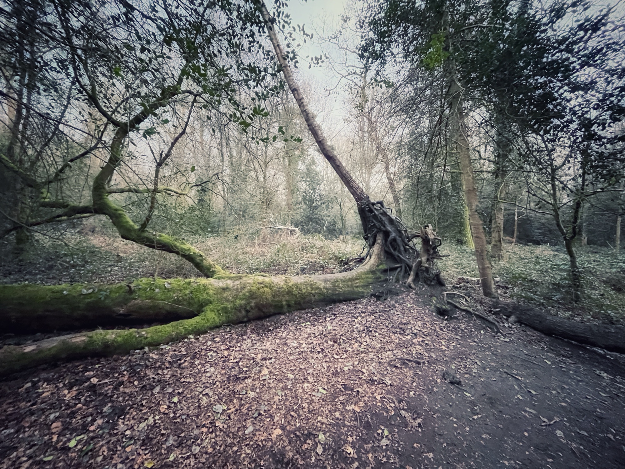
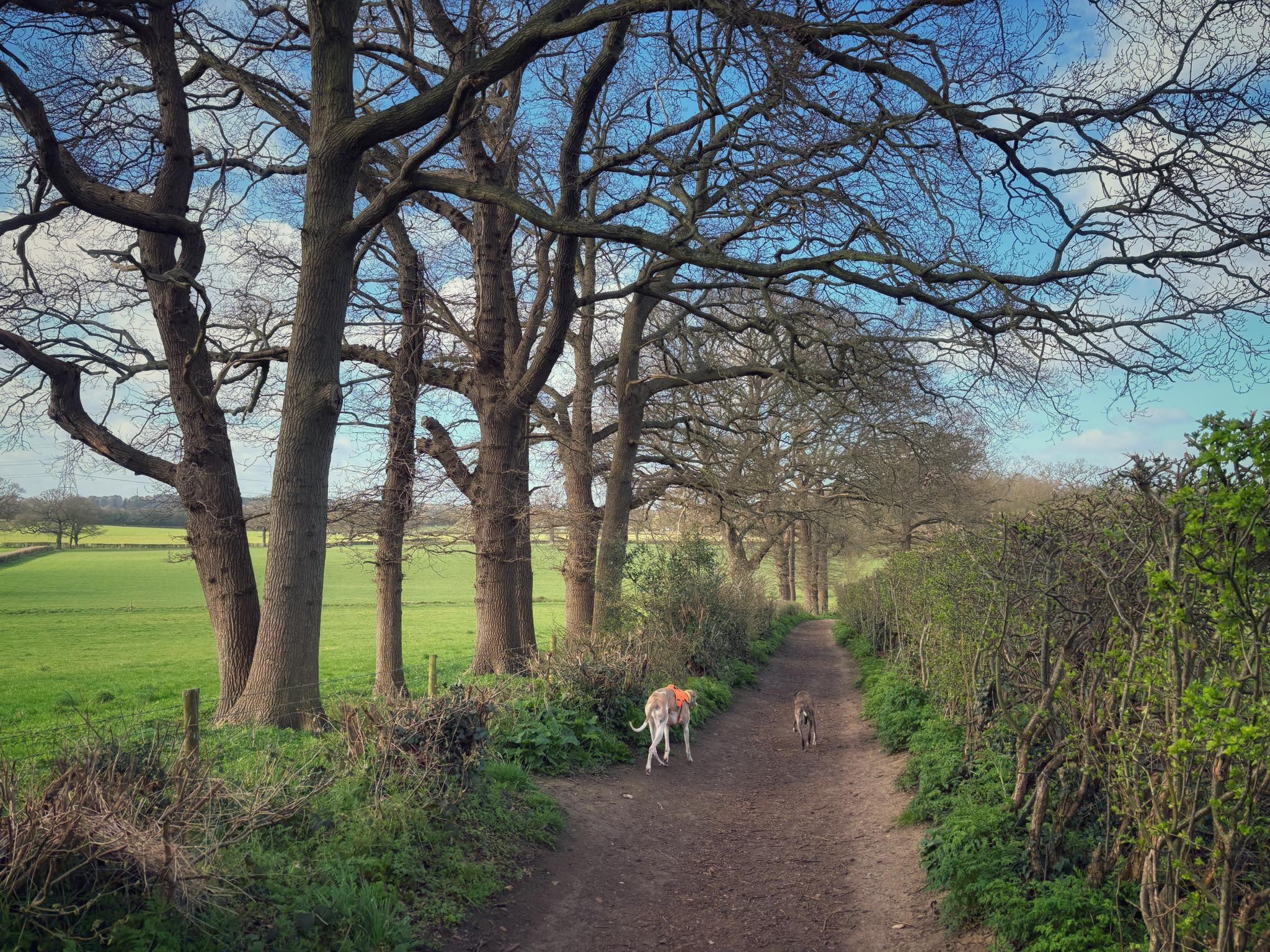
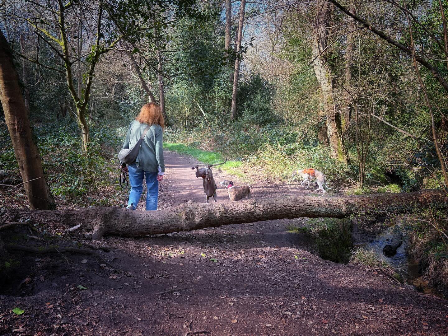
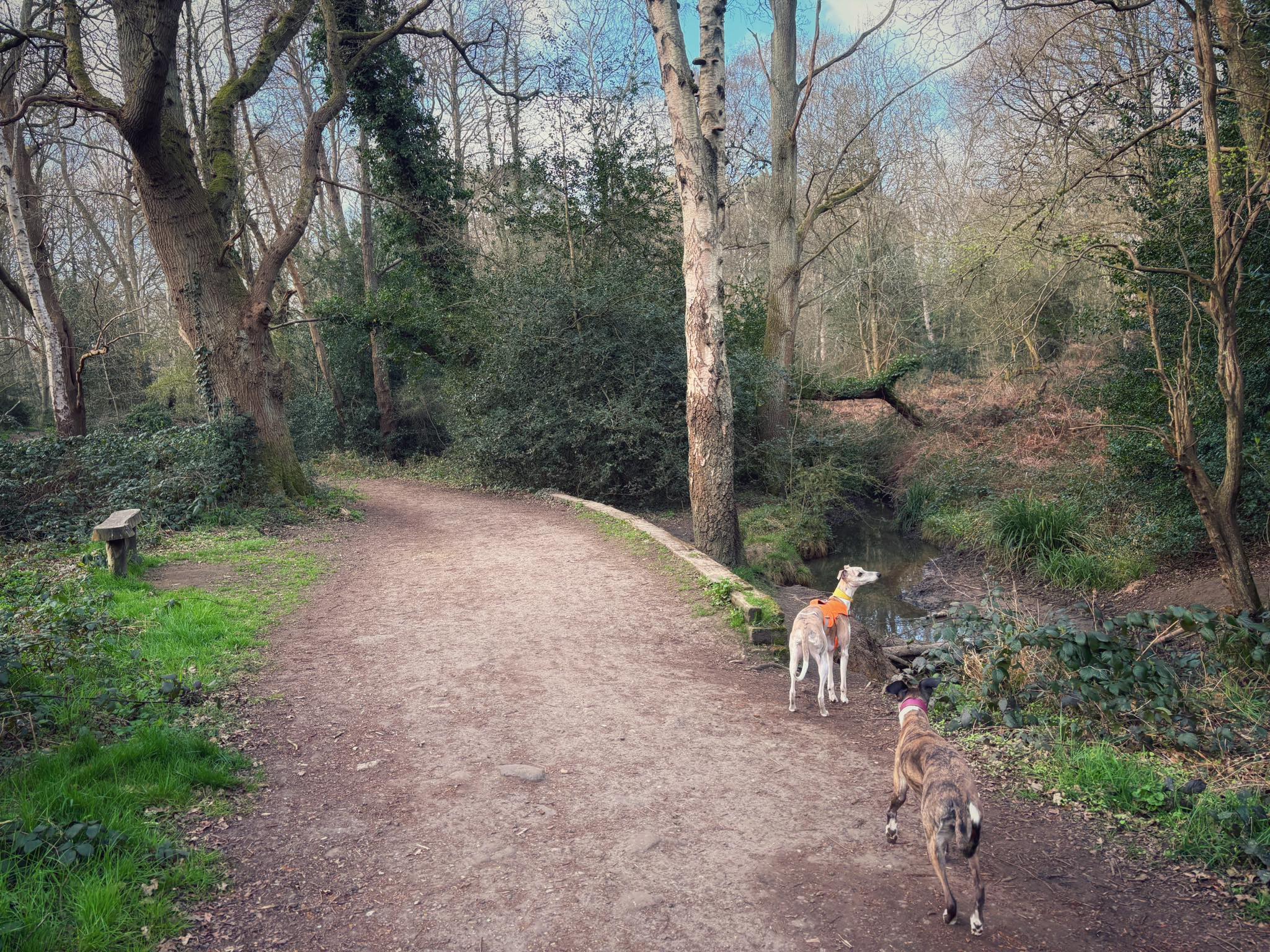
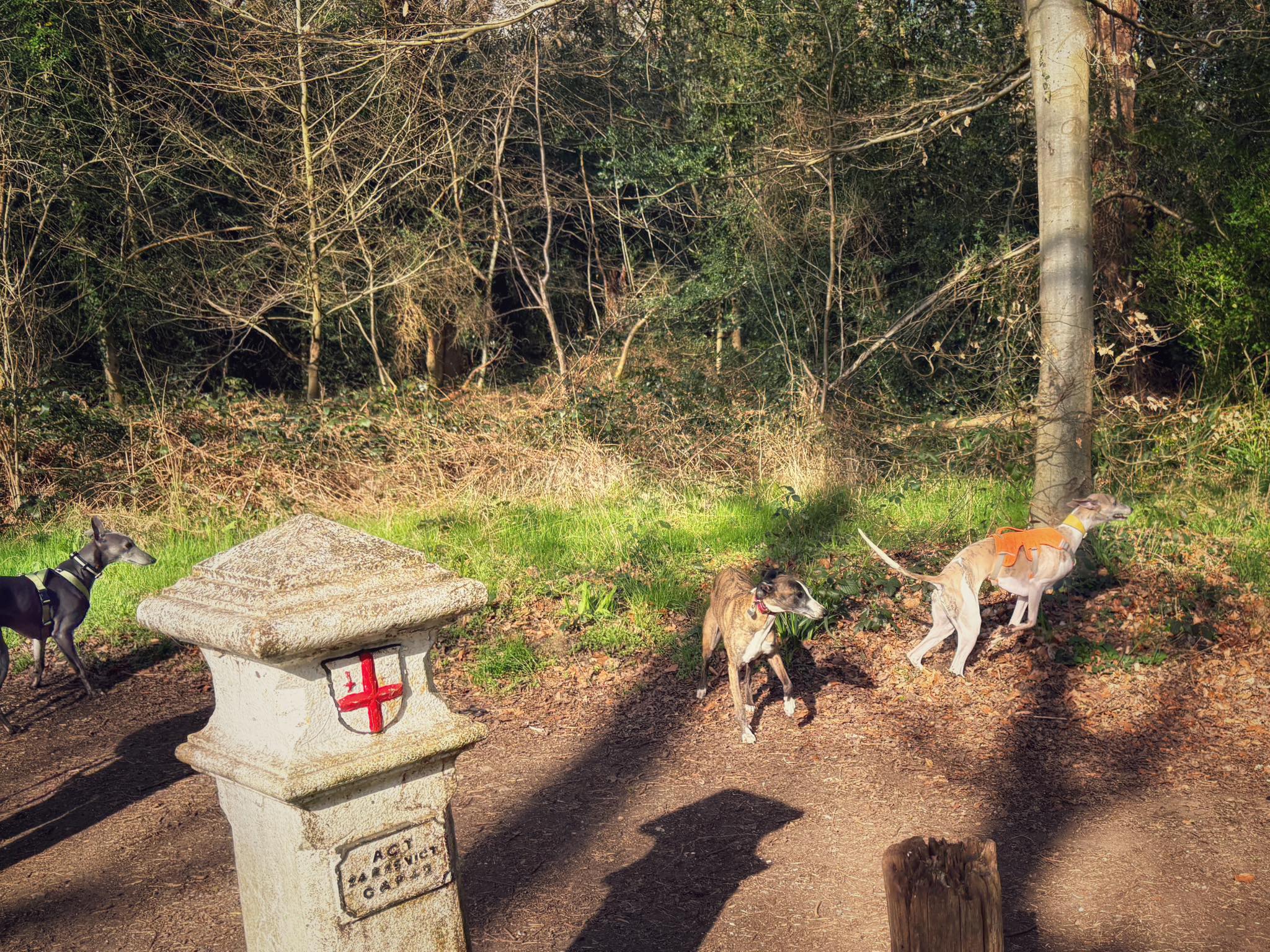
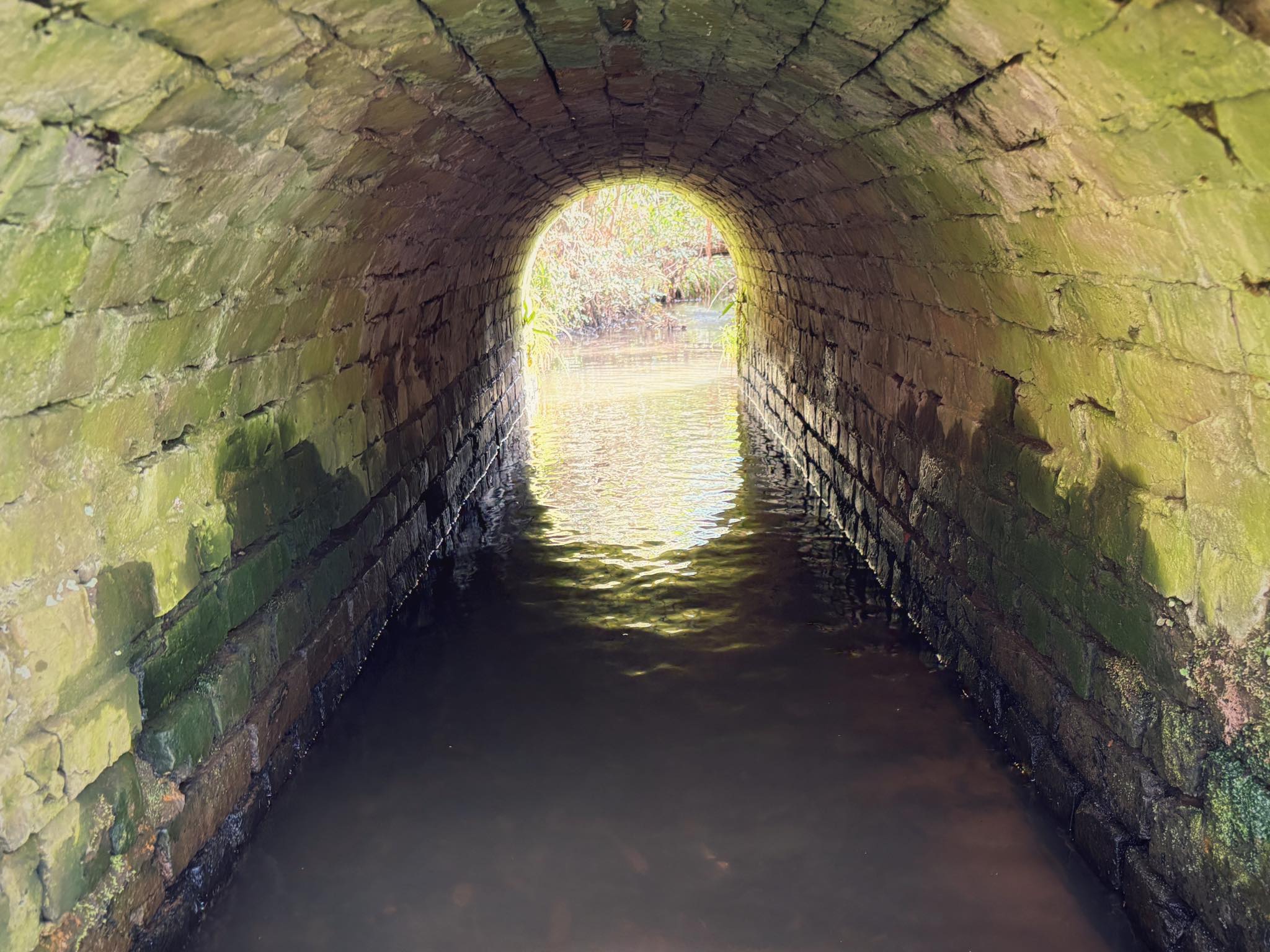
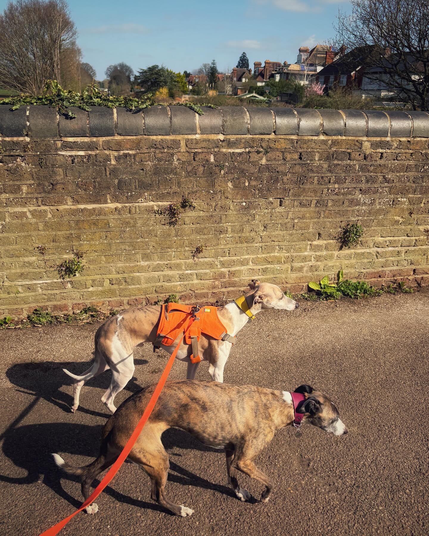
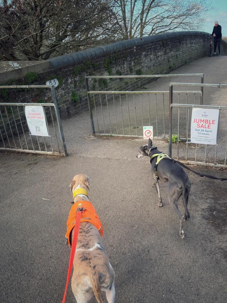
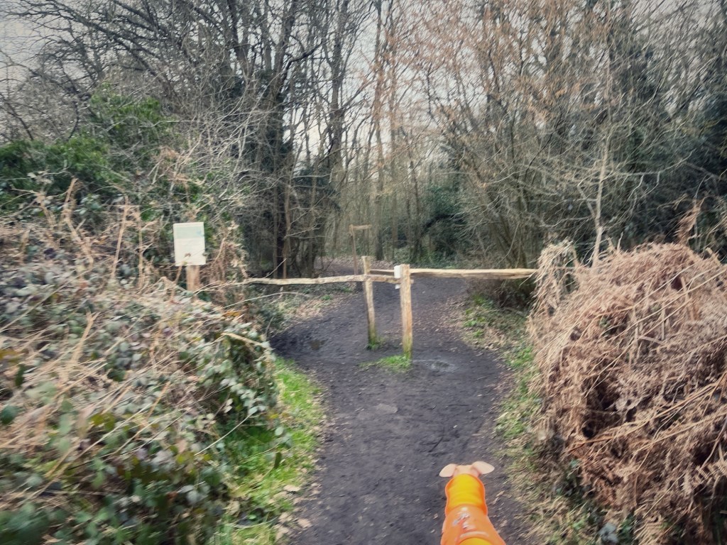
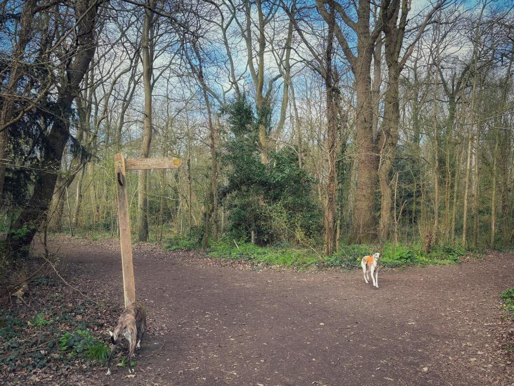
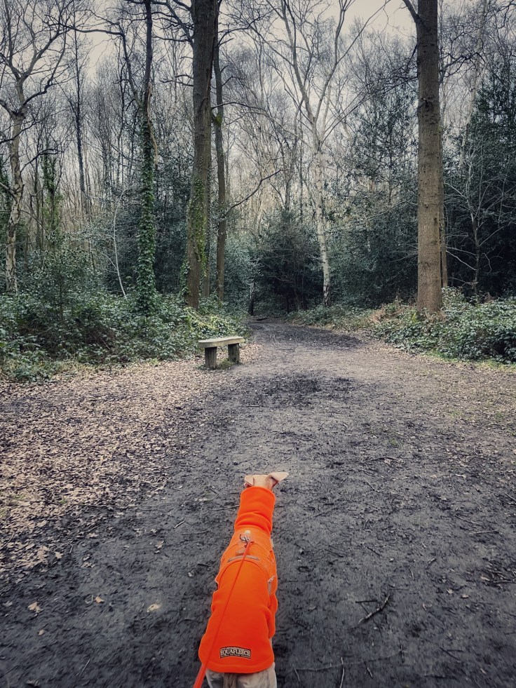
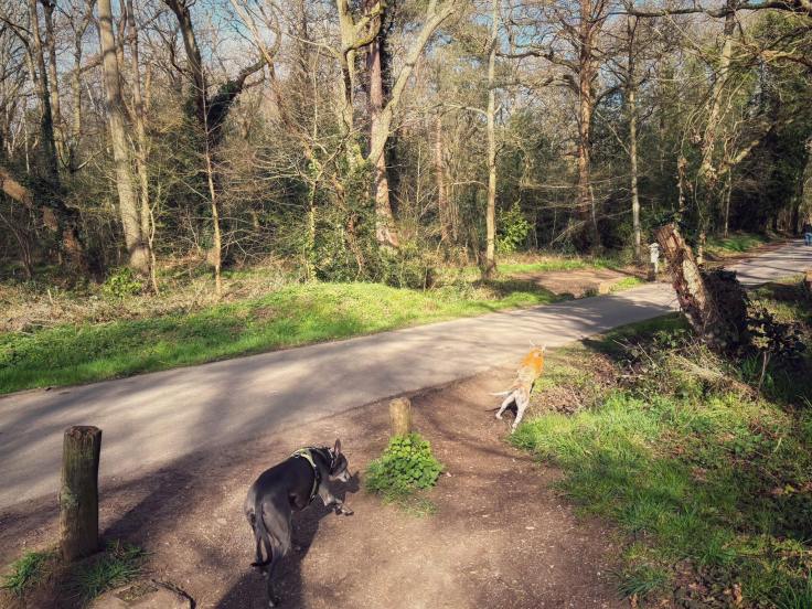
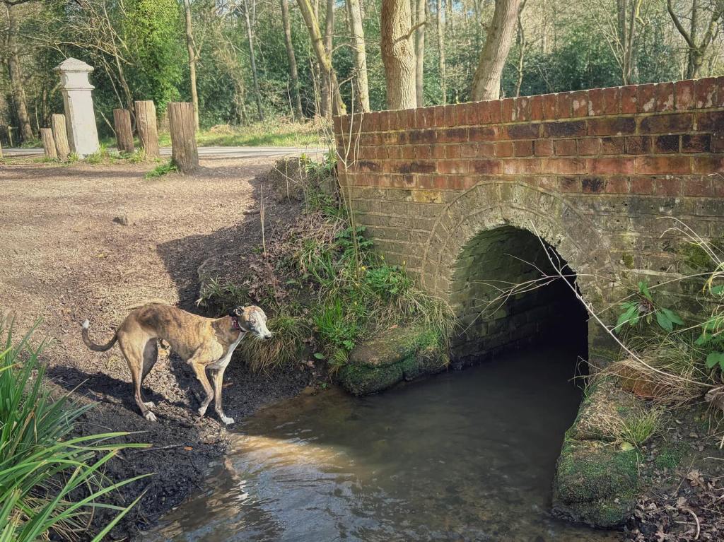
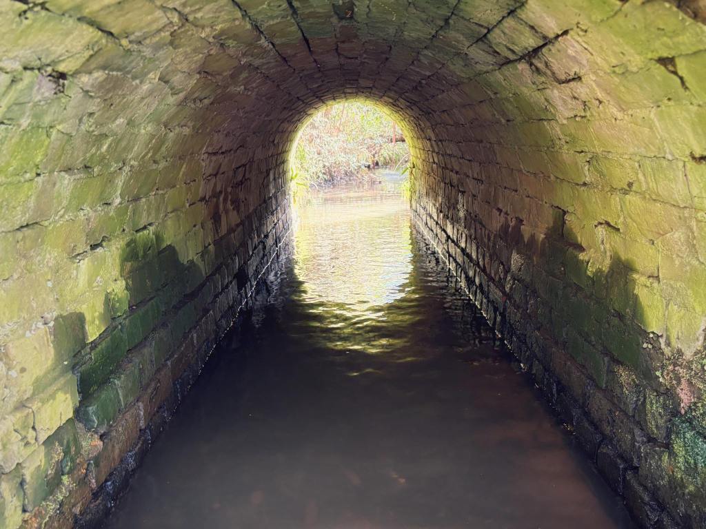
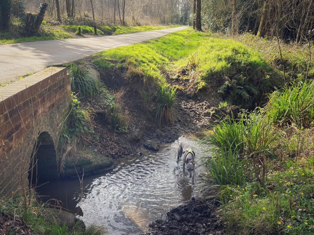
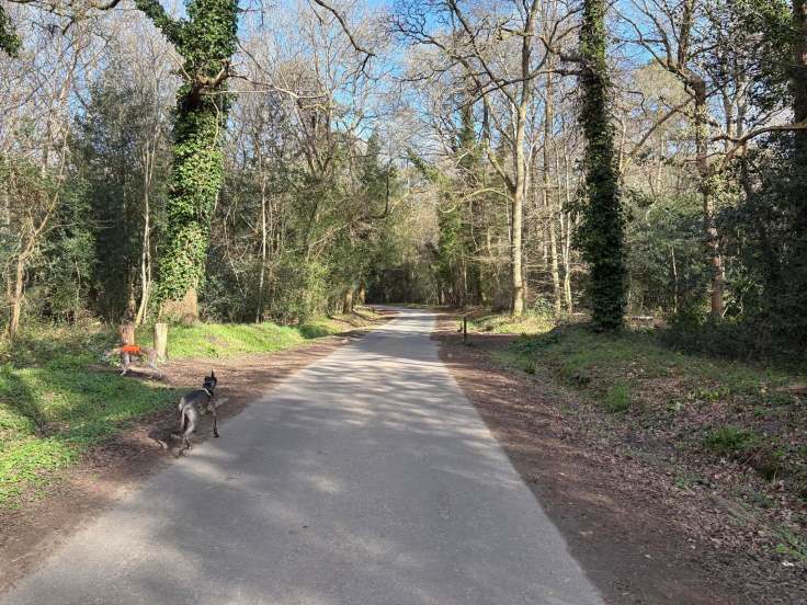
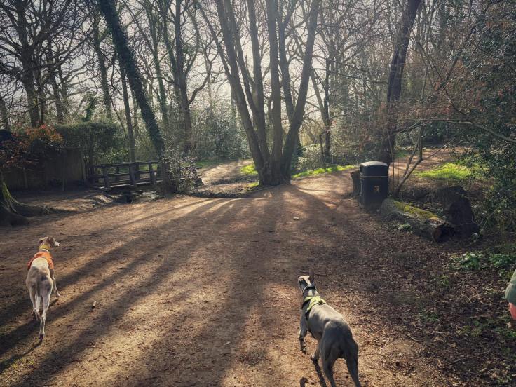
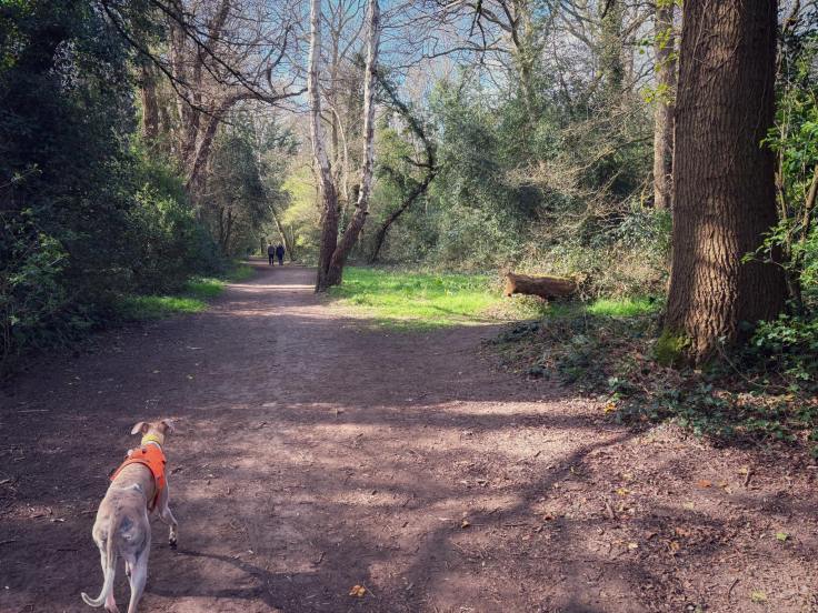
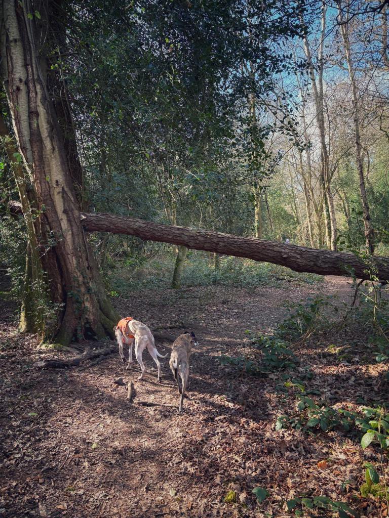
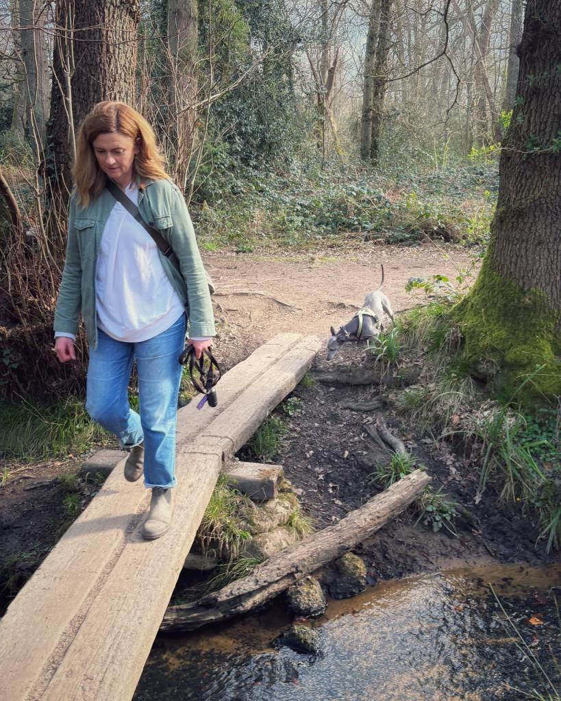
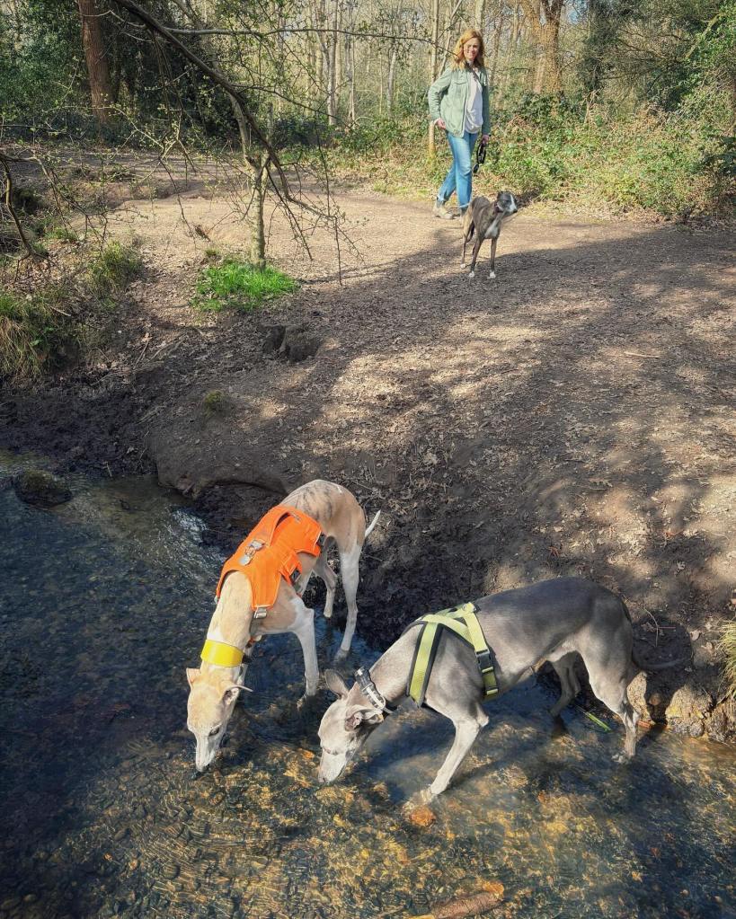
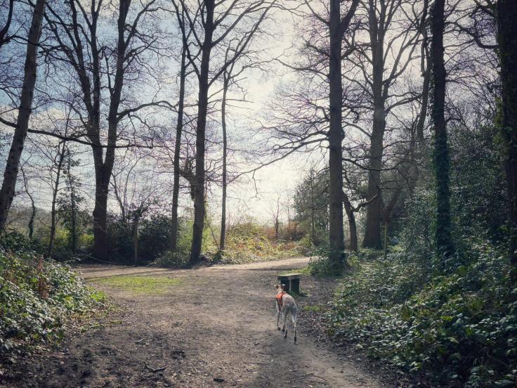
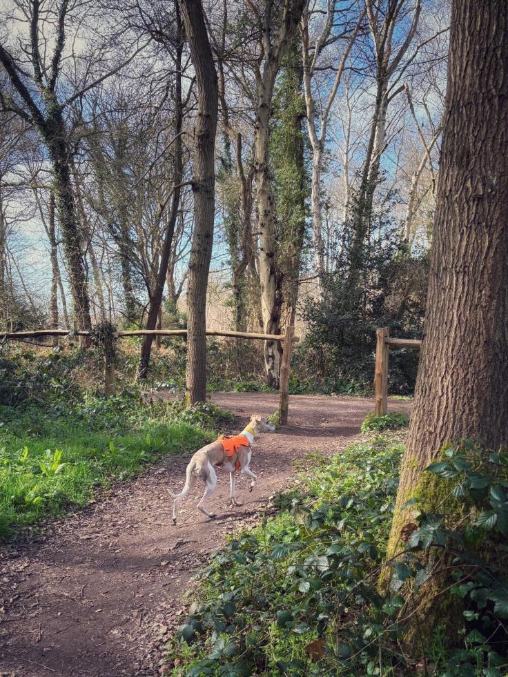
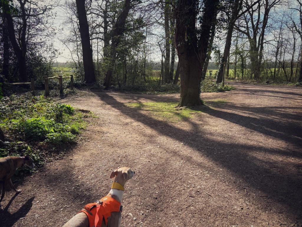
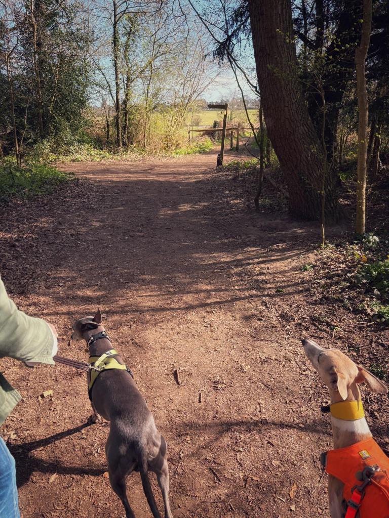
Gallery: What’s it like here?


Parking
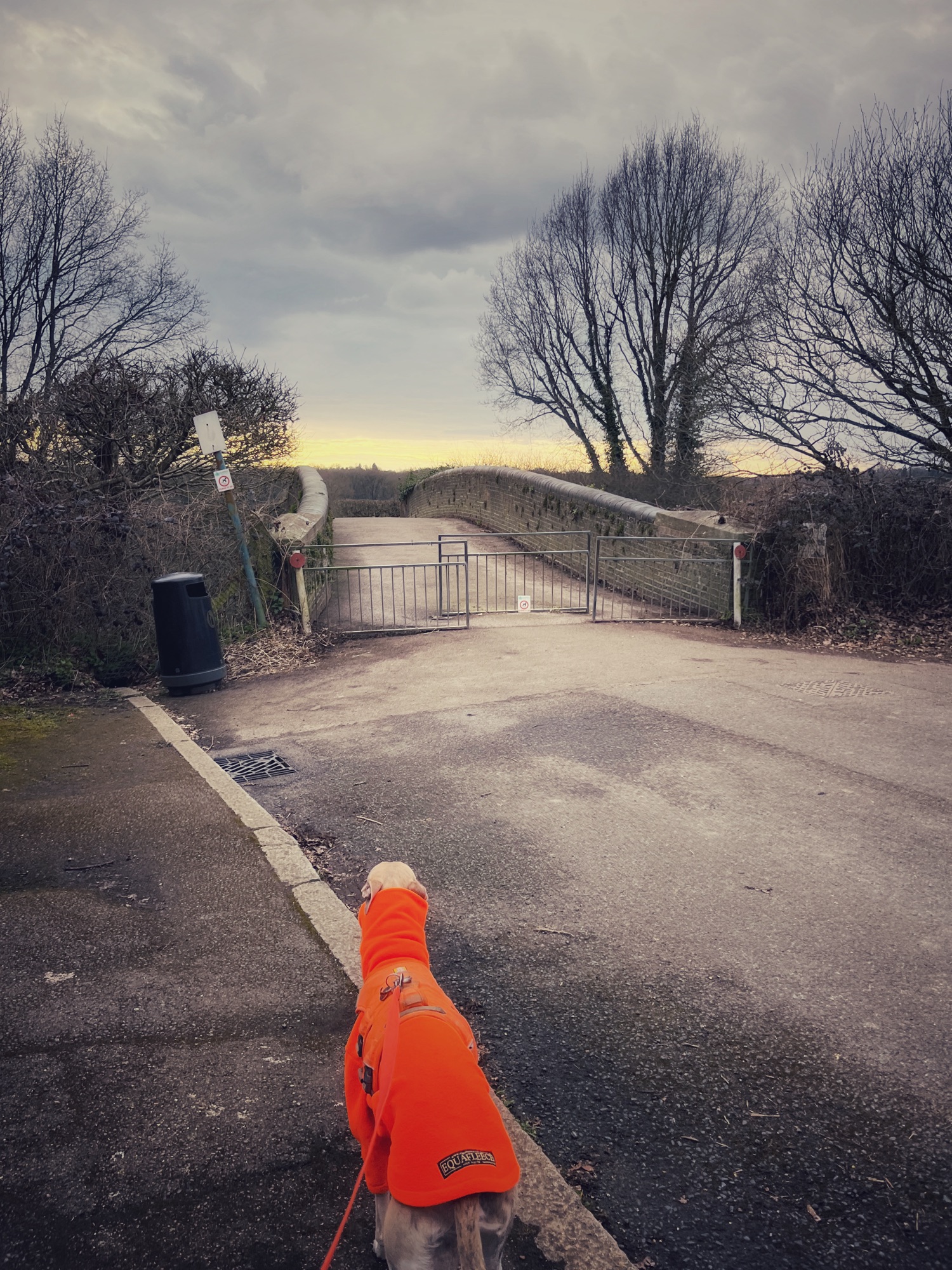
There is a small car park for Arbrook Common to the north of the common at the end of Arbrook Lane but the walk on this page goes from the footbridge over the railway line at the end of Claremont Road in nearby Claygate.
WHAT3WORDs: https://w3w.co/holds.palms.reduce
GOOGLEMAPS LINK: https://maps.app.goo.gl/mshvgwnVG6Kvt9zG8
NEAREST POSTCODE: KT10 0PL
Poo bins?
There’s a poo bin right at the start of the walk and a couple on Arbrook Common.
Self-guided walk
Here is a Footpath app route from the bottom of Claremont Road, a residential street in Claygate. Also on my AllTrails account.
Length: approximately 2.3 miles/3.7 km
Terrain: Gentle descent from Claygate and the railway to Arbrook Common – you return by the same path. The rest of the walk is flat. It’s mud paths through woodland around a stream and can be wet and muddy in the colder months. The trees provide lovely shade in the warmer seasons and there are paddling spots at the stream for dipping toes and tongues (dog tongues…!)
Stiles/kissing gates? No stiles

Park up and go to the dead end of the road, pass through the staggered metal barriers and over the railway bridge.
Follow the path around to the left and then to the right. You’ll then be heading away from the railway.
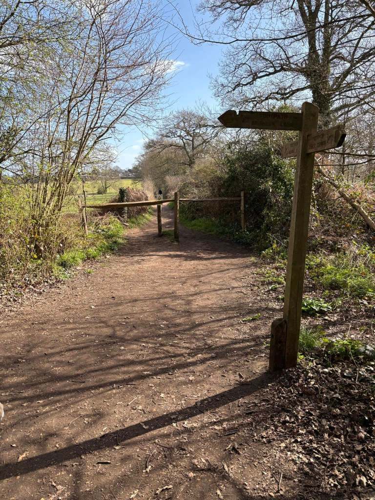
Follow this path all the way down to its end – there are fields either side, although for the first part, the hedge on the right is really tall. As you walk along here, you’ll pass over a little bridge, then a bit further on, pass between staggered wooden barriers. The path ends here at a junction with a fingerpost to the left. Turn right in the direction of Arbrook Lane (indicated on the fingerpost).
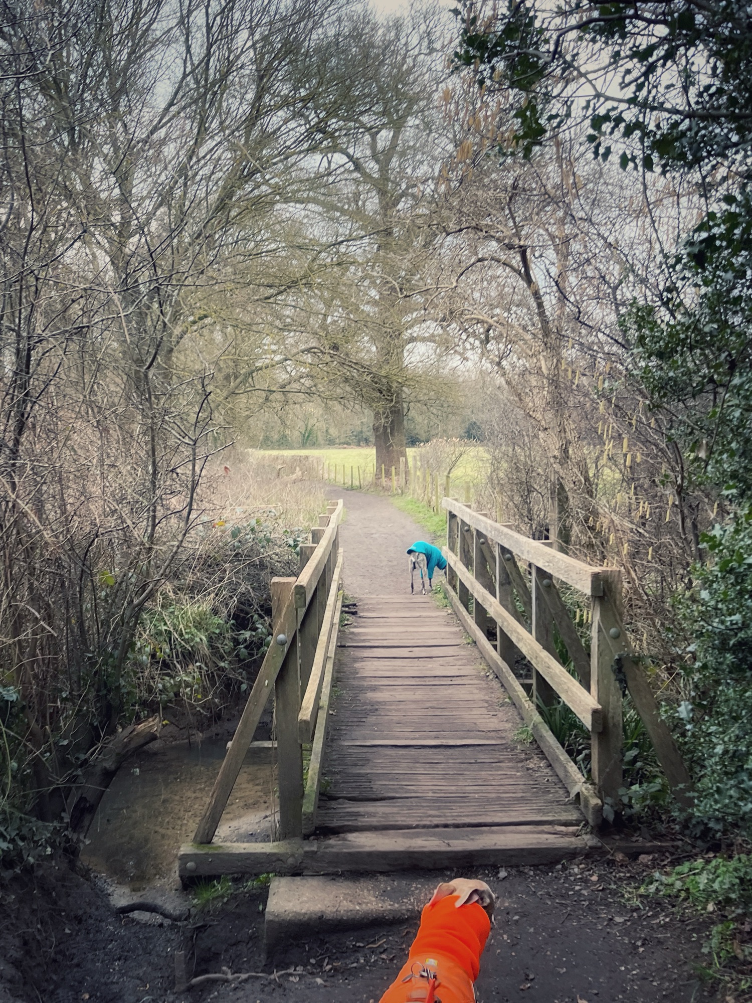
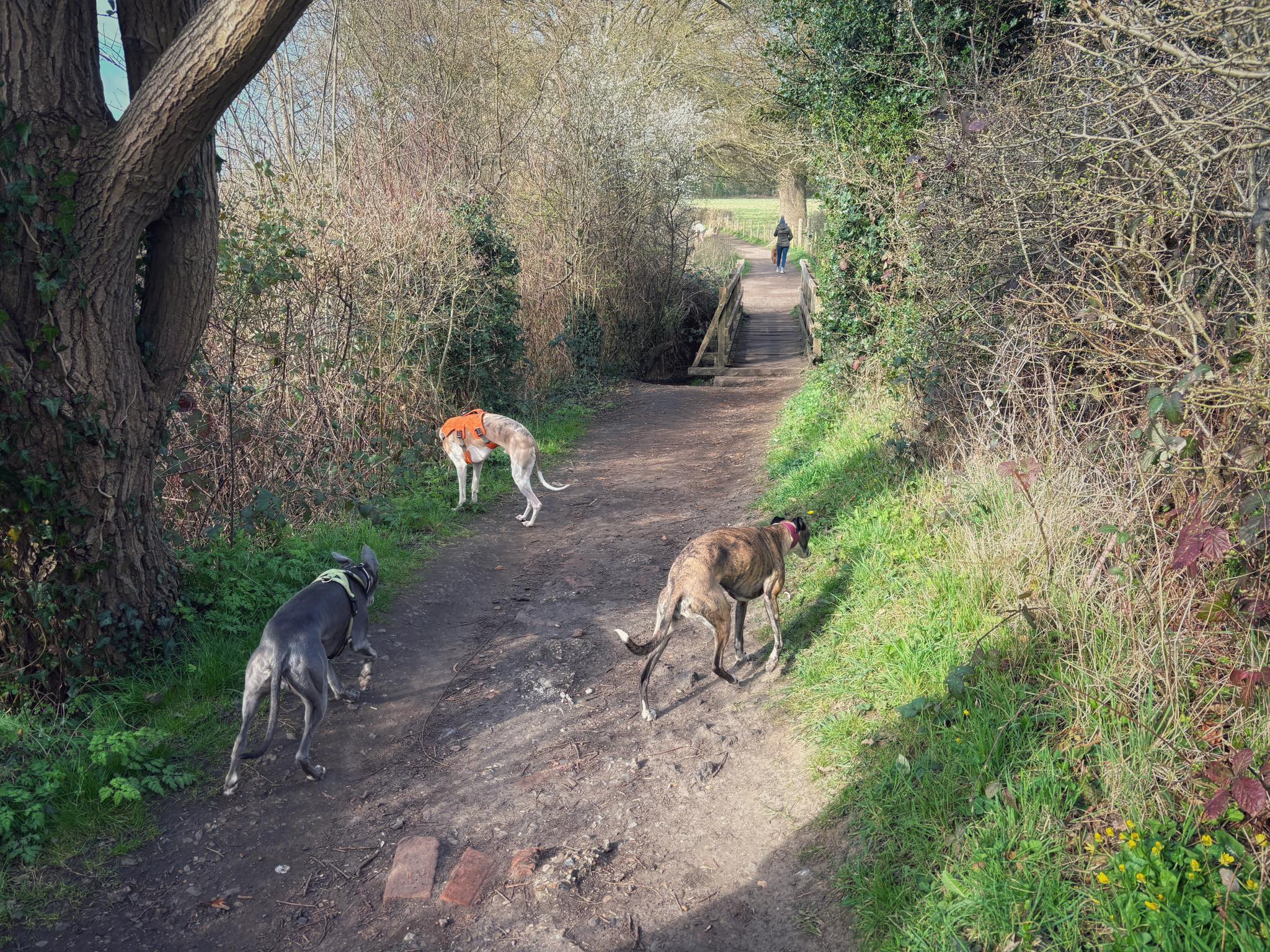
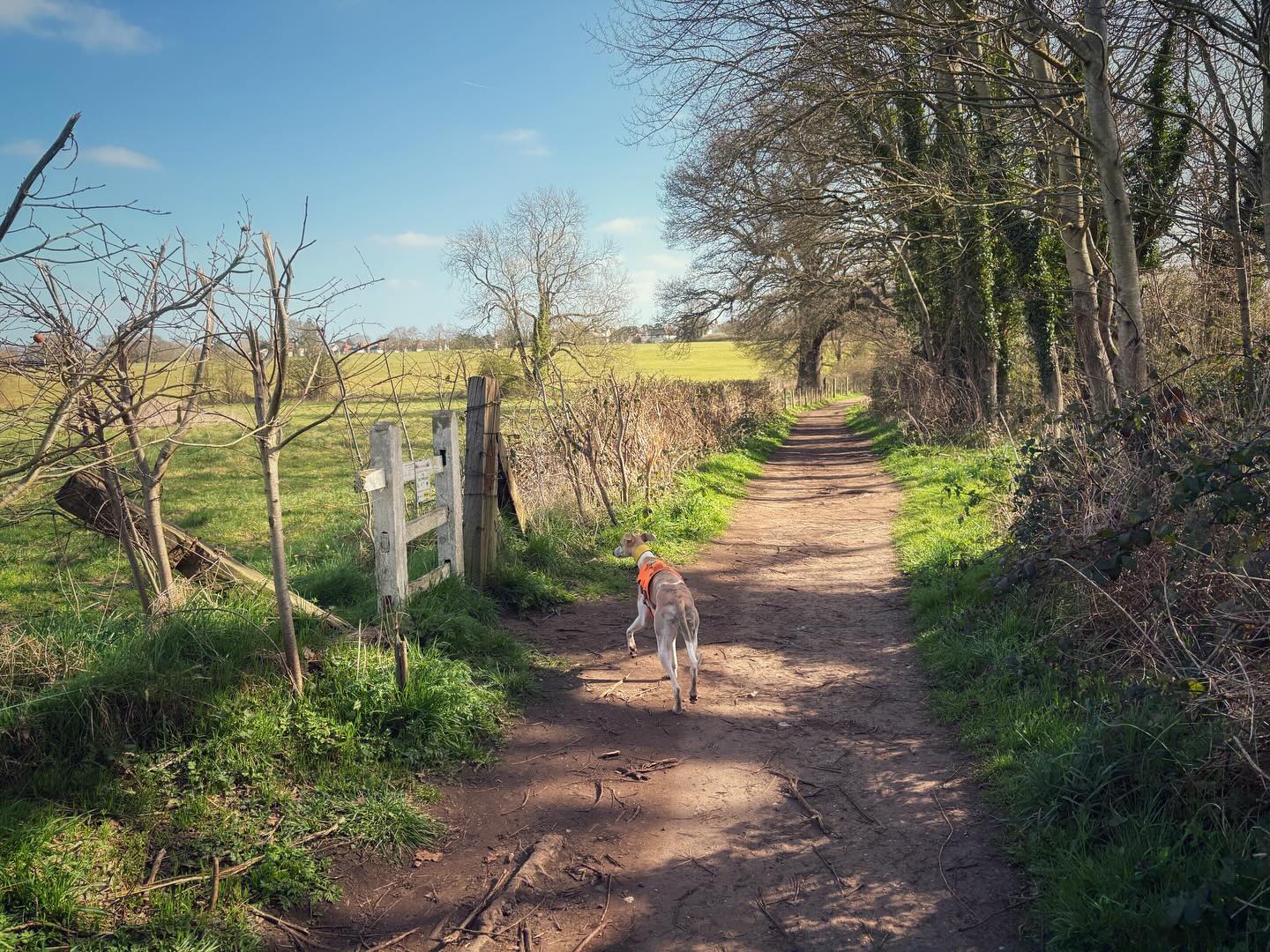
Walk along this path, which edges the wood (on your left) and there are fields over to the right. At the end, cross over the plank bridge and ahead but bearing slightly to the left to take the path that passes immediately to the right of the wooden bench.

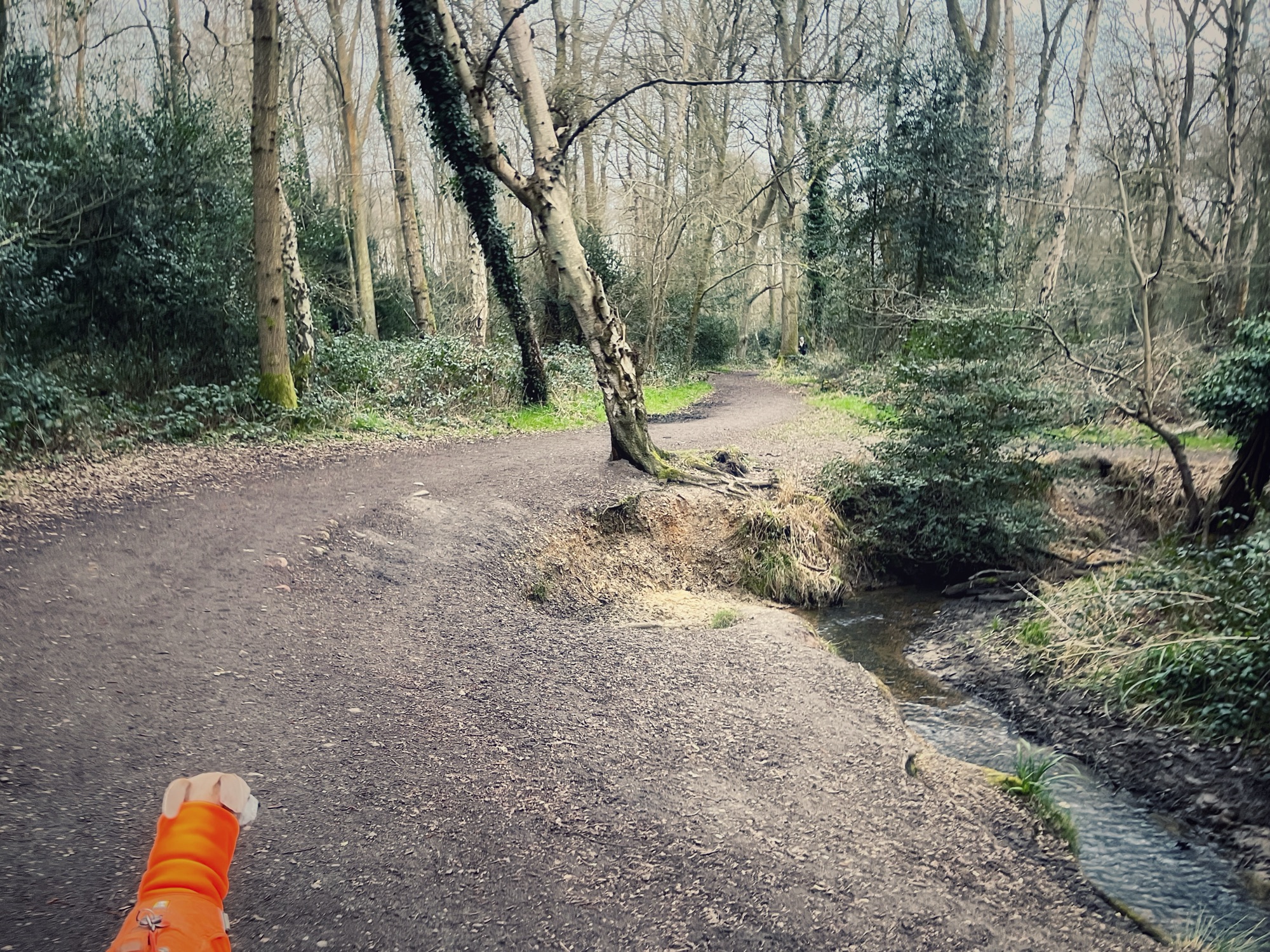
Cross the next plank bridge and just continue straight ahead. At the cross paths, continue ahead again towards a wooden barrier, behind which is a fallen tree. Pass to the left of the barrier and turn left when you get to the main path. Presently this main path will run alongside the stream (to your right).


Follow the path to its end at a T-junction where there is a signpost ahead. Turn right.
Now follow this path all the way to where it ends at a junction with a small, tarmac lane. This is a really quite private lane, but be wary of cars all the same.
Turn right onto the lane and, almost immediately (just before the white coal tax post), it crosses what we call the ‘troll bridge’. The lane is flat, but the river passes beneath it here – you can easily get down to the water for a paddle and to peer under the bridge.
When you’re done at the troll bridge, continue on up the lane, ignoring the first little path to the right that has a fingerpost for Arbrook Lane. Go just a little further up the lane to the next junction. There are two hefty posts to the left – turn right here and pass the tall wooden post in the middle of this path that leads away from the lane.
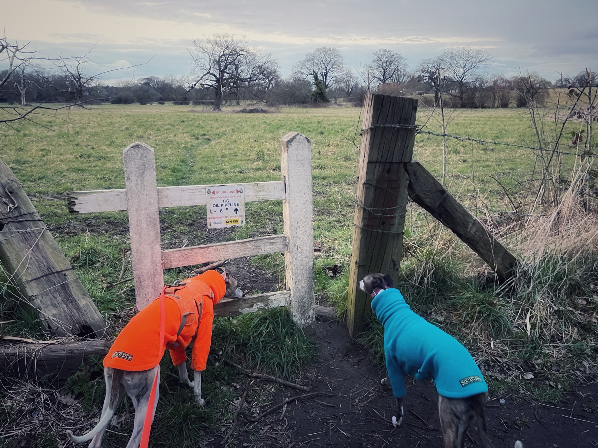
When you get to the fork, where there is a wooden barrier on the path to the right, keep left.
Presently, a row of houses will come into view ahead. You’re now at the top part of Arbrook Common, very near to where its small car park is.
Before the houses, where your path comes to an end, turn right and cross the stream again (and a black bin on the right of the path). Over to the left, there’s a footbridge over the stream too. This is another nice spot to have a paddle.
When you’re done, continue ahead on the path that passes the bin. Keep an eye out for a small path off to the right. It’s just after a fallen tree and just before a couple of trees that are fused together at the base. When you spot it, turn right and leave the main path behind.
Very shortly, this little path brings you back to the stream and winds alongside the water (which is on your right). It can be overgrown and muddy in the winter, and rugged in places where you have to navigate tree roots and go both over and under fallen trees) but it’s a really lovely path.
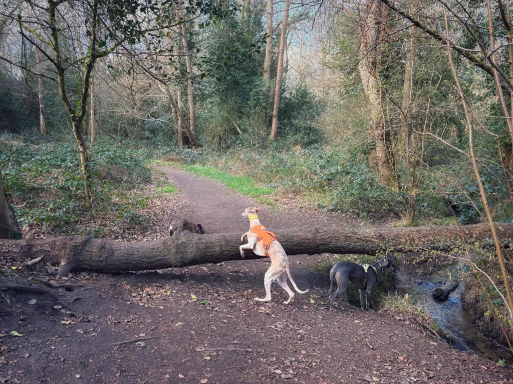
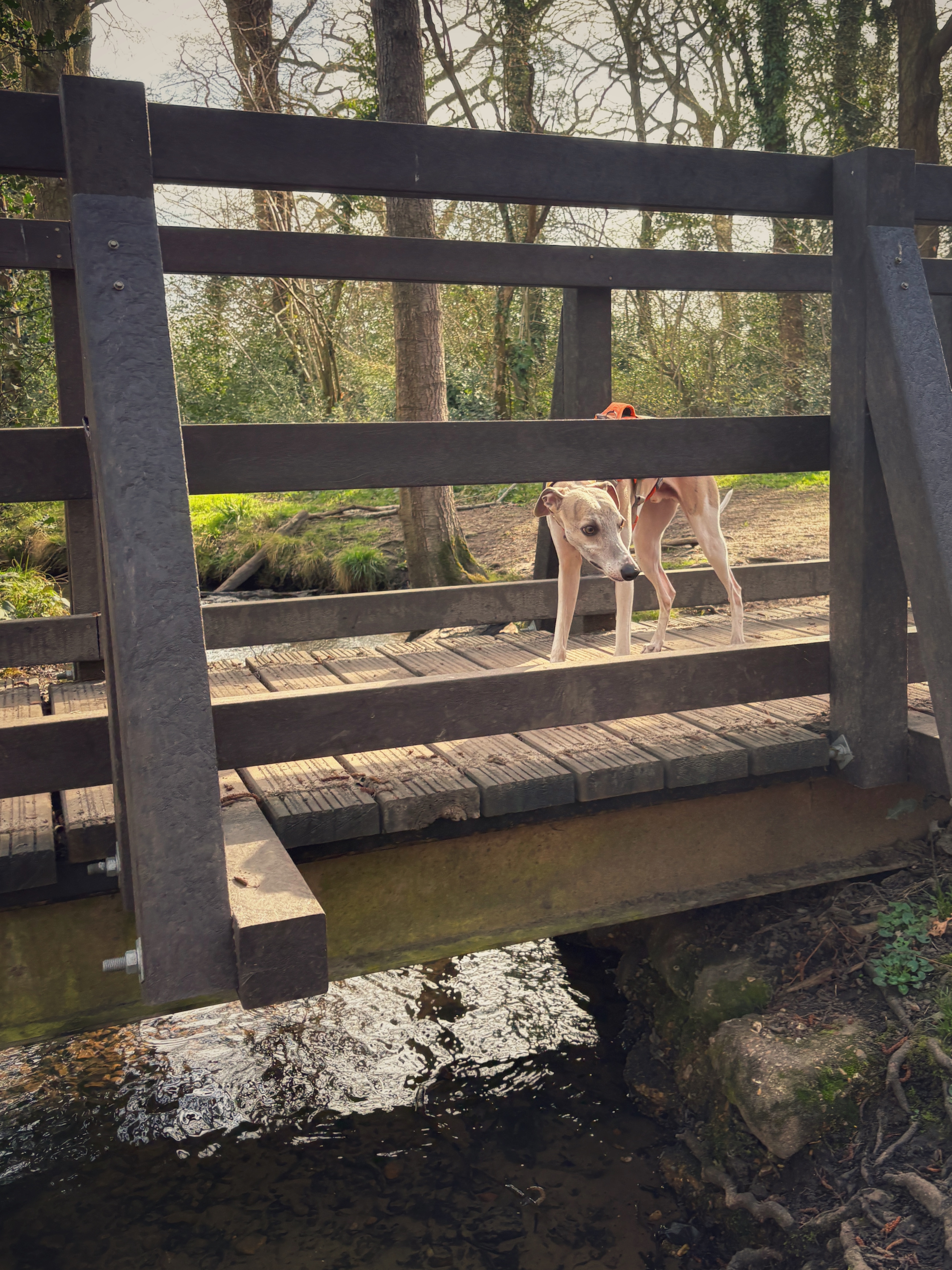
After some way, there’ll be a plank bridge over the stream to the right. You want to continue straight here for the walk and not go over the bridge – but it’s worth detouring to go over the bridge and enjoy another nice bend in the stream where you can easily get down to the water. When you’re done, return back over the plank bridge and continue (right) on the path you detoured from.

Pass to the right of the wooden barrier and you’ll be at a fork. Take the left-hand path. When you get to the next junction, continue straight over, passing a fallen tree and then immediately to the right of a wooden barrier. You may recognise this from earlier – as you passed through here going the other way.
Continue ahead over the next cross paths and keep going down this path, over the plank bridge and emerge at the junction of paths with the wooden bench, which is now to your right.
Here, the walk route on the Footpath app (and pictured at the start of these directions) requires you to turn right just after the bench and pass a finger post, then a small plank bridge to the left of the path.
However, if this path is really muddy and you want to avoid the next bit, which can be sloppy in winter, you can cut the walk slightly short and continue ahead at that wide junction instead. If you do this, you go over the second, wider plank bridge (that you crossed earlier on the outward journey) and walk back down to the corner where you turn left at the sign post onto the path that takes you back to the railway bridge. (It means the walk is 2 miles rather than 2.3 miles).
Assuming you want to continue with the full route, turn right at the bench, pass the fingerpost and small plank bridge and follow this path aaaaaallll the way down to a couple of wooden barriers. Pass through the gap and turn left.
When you get to the path’s end, with a big tree in the middle, a finger post ahead and a staggered barrier to the left, turn left and pass through the barrier.
Follow this path all the way to the corner with the sign post. Then continue straight ahead out of Arbrook Common through the staggered barrier. This is the path that leads you back to the railway bridge where you started the walk.

Leave a comment