About
Gallery
Parking
Poo bins?
Self-guided walk
About
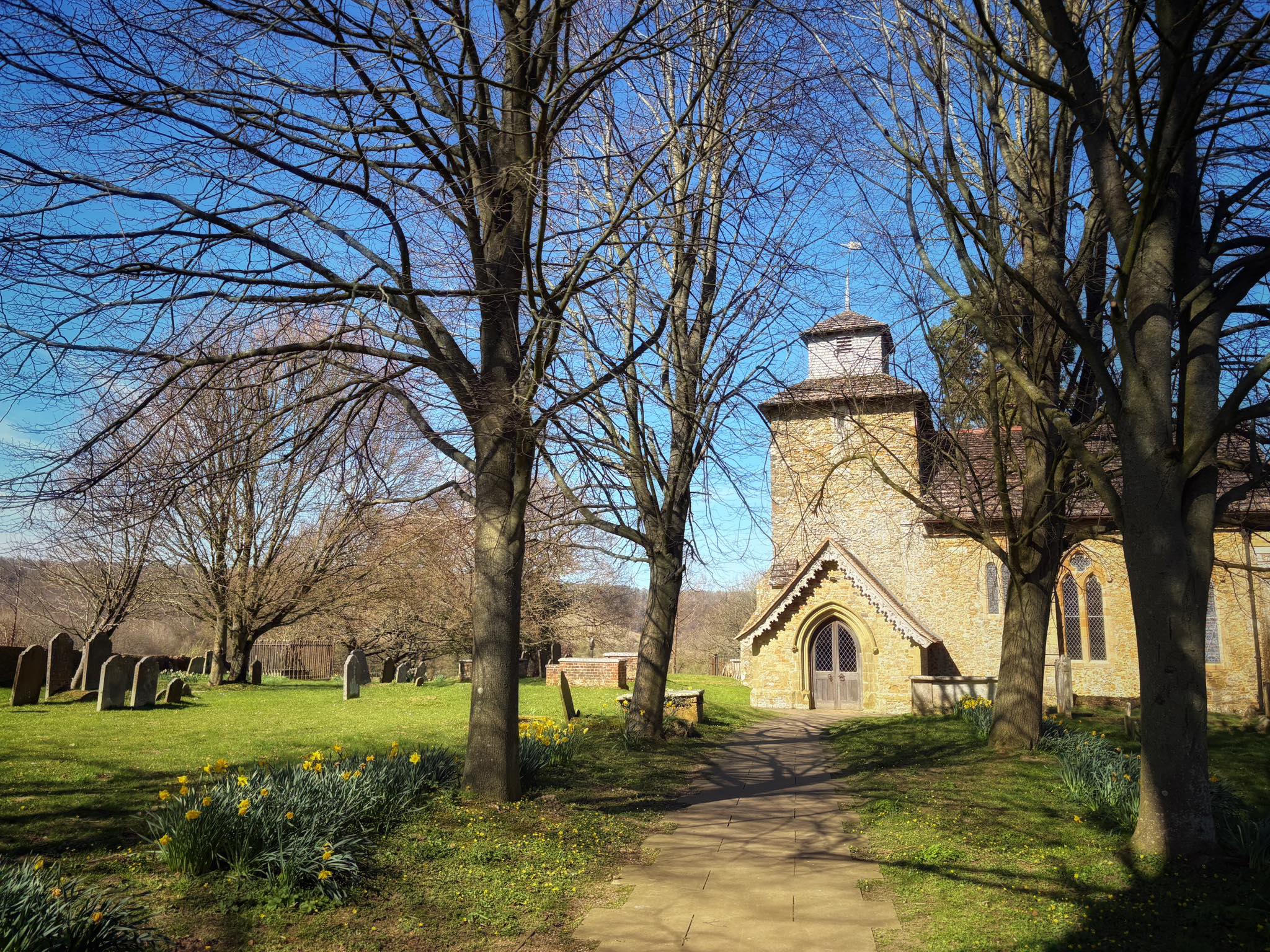
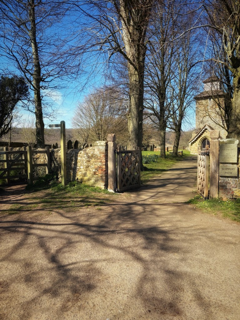
As pleasant as it is, there’s not a great deal to say about Wotton, which is a ‘well wooded parish’, according to Wikipedia, a little to the west of Westcott and the town of Dorking. It existed back in the days of the Domesday Book and is home to the stately Wotton House, a pub called the Wotton Hatch, a few houses, and St John’s Church. The church dates back to Saxon times, although most of it is a Victorian rebuild.
Wotton House was the birthplace of the diarist John Evelyn in 1620. In the 20th century, it was a training centre for the fire brigade and then converted into a hotel and conference centre. Evelyn and his wife Mary are now buried in the imaginatively named Evelyn chapel in the church.
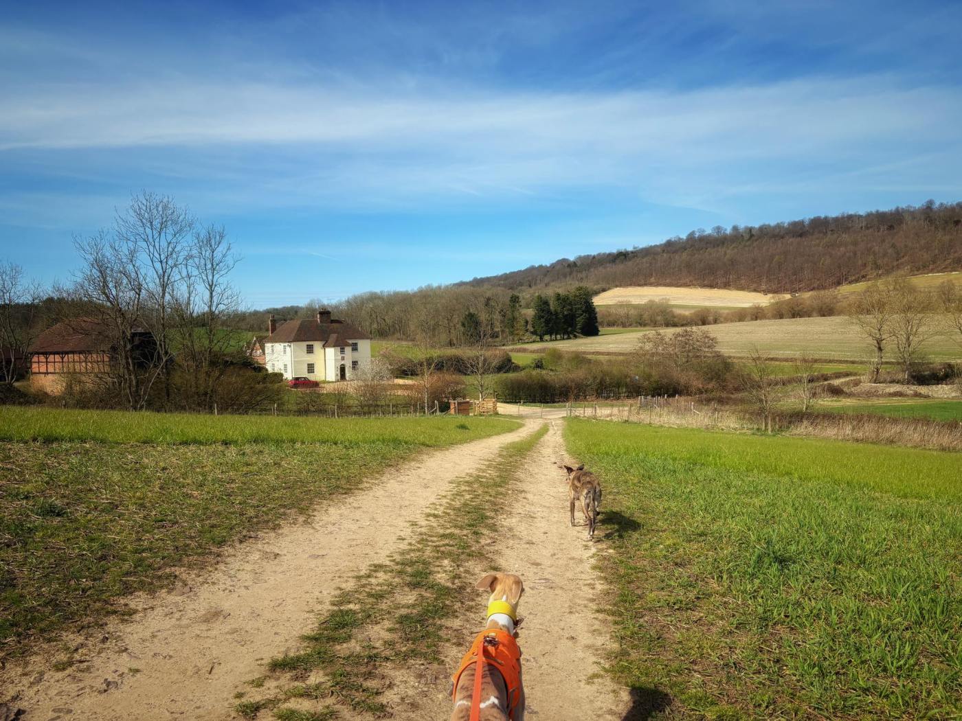
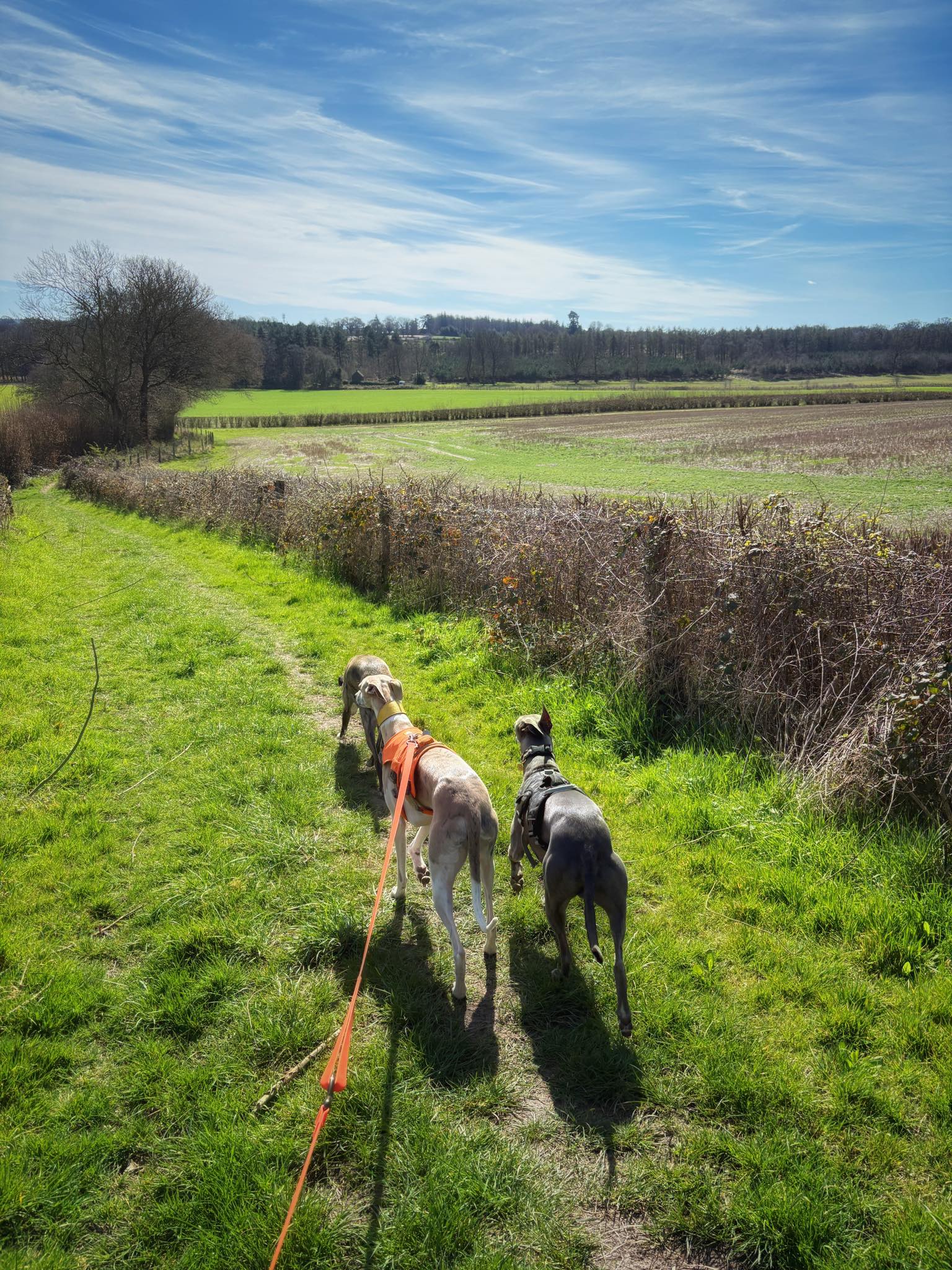
Most of the Wotton area is farmland with footpaths tracking across it. There’s also a railway line running along the bottom of the hill.
The pub is dog friendly in the bar area and has a fairly decent garden.
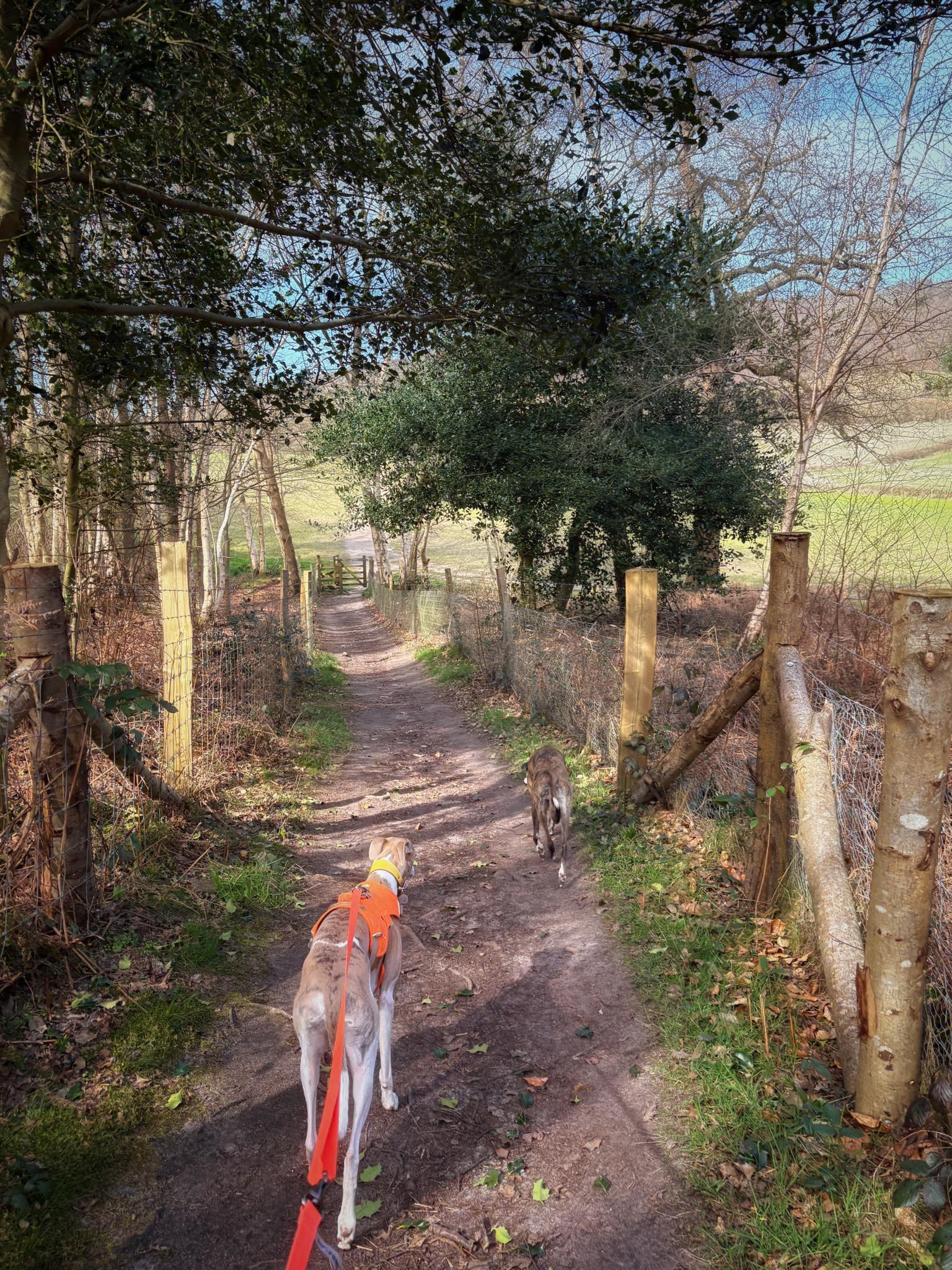
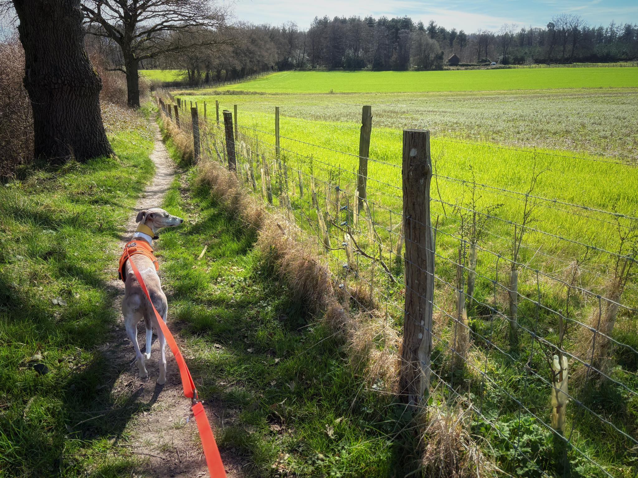
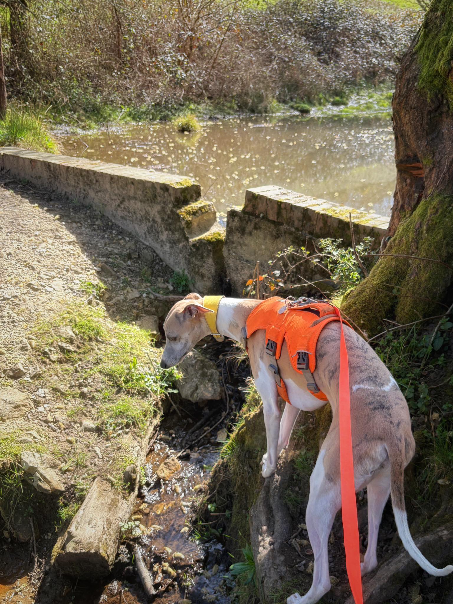
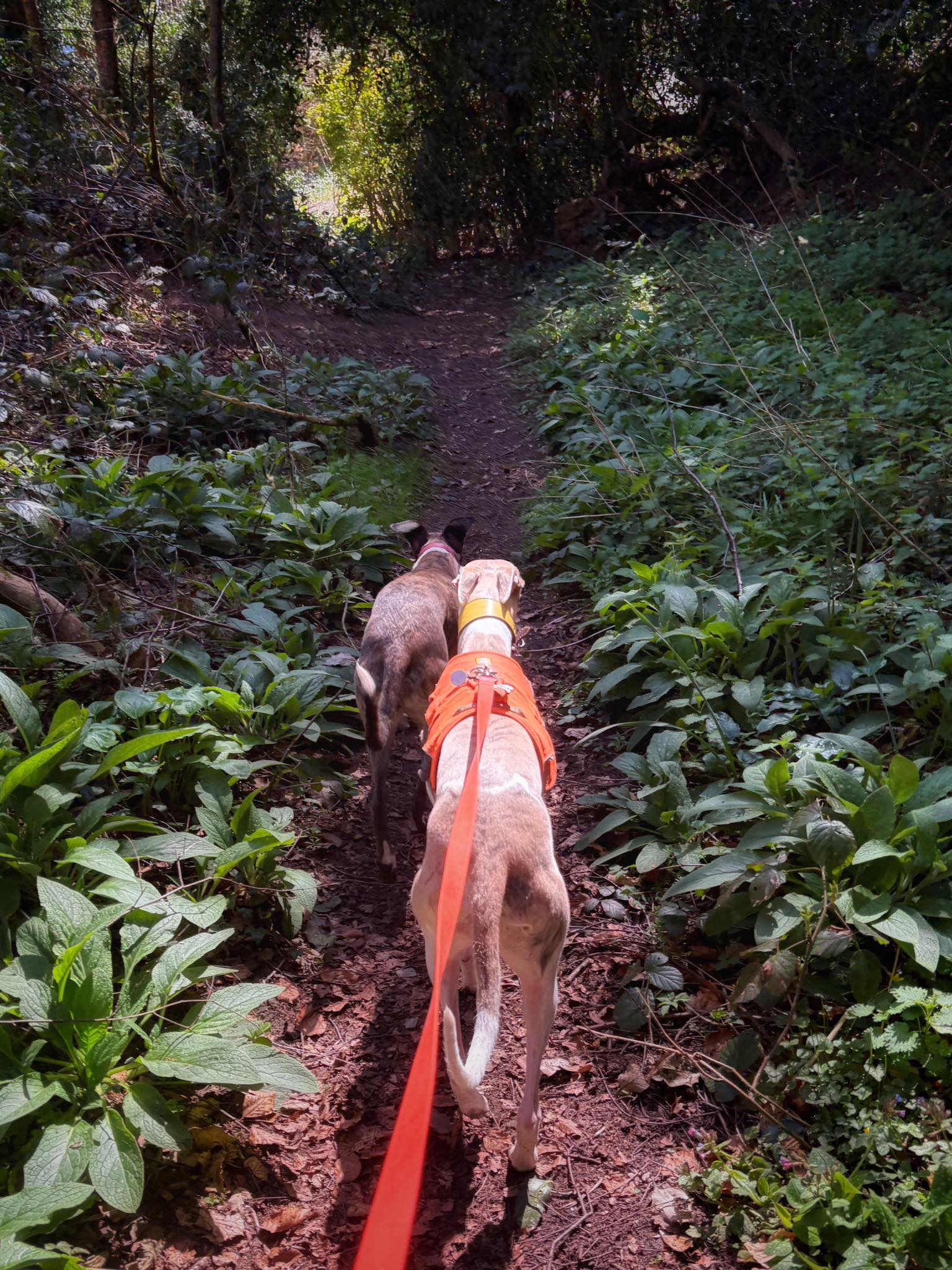
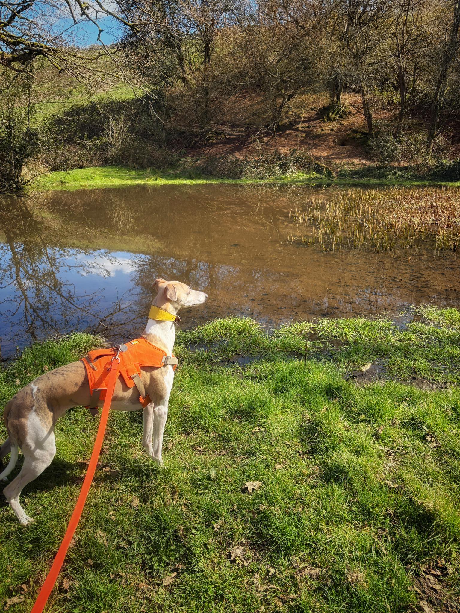
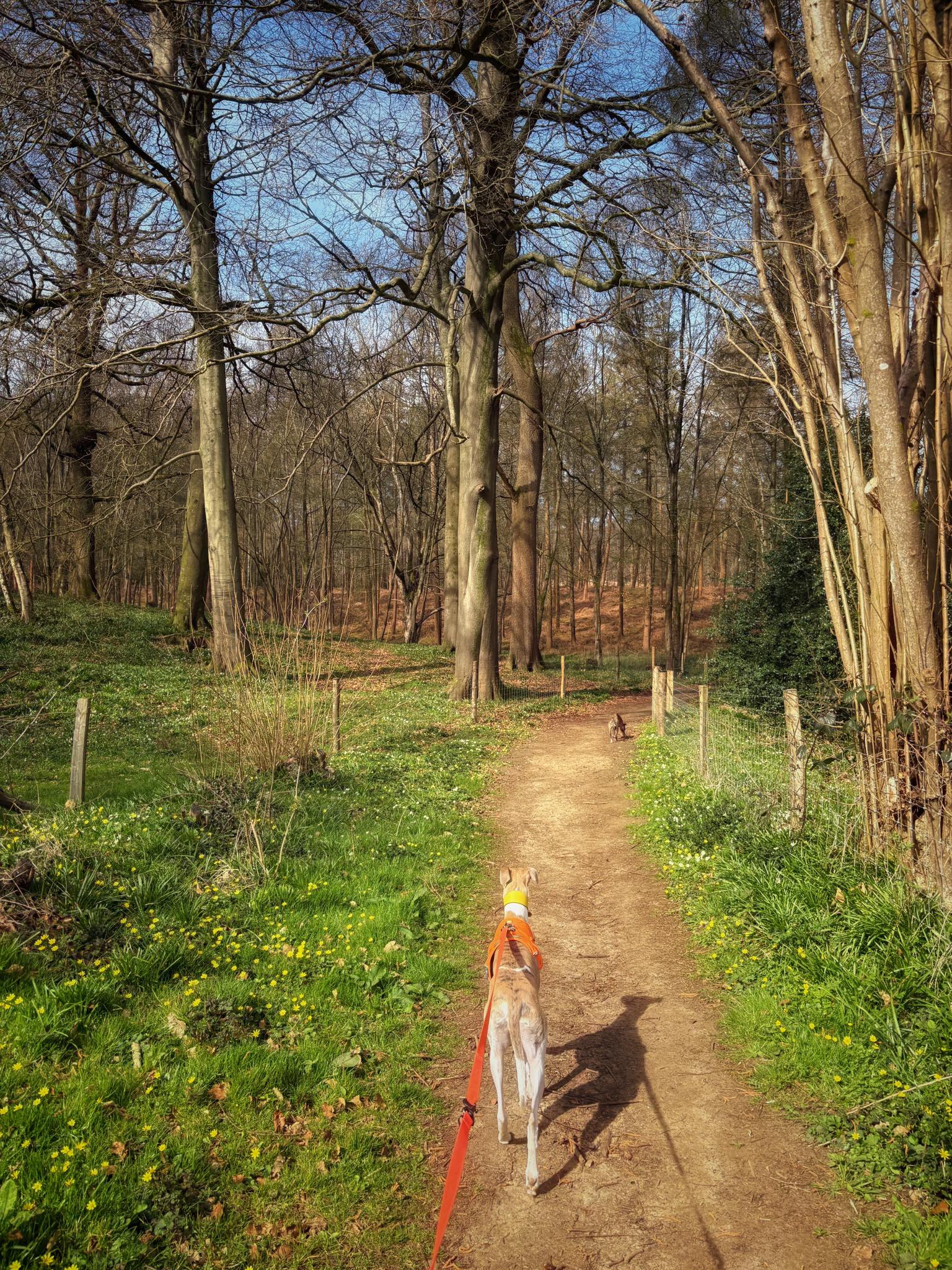
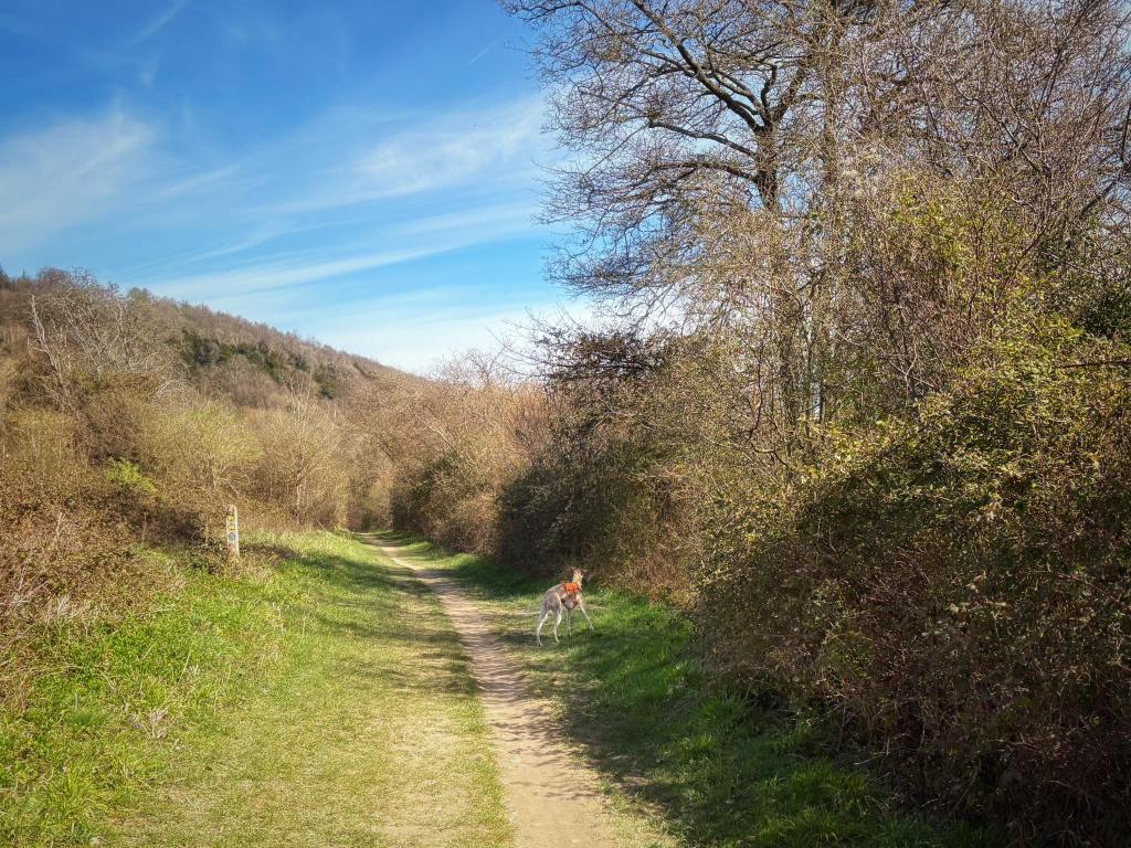
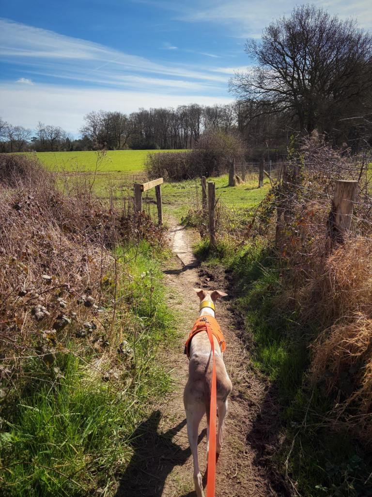
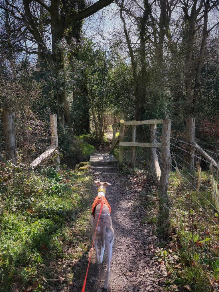
Gallery: What’s it like here?


Parking
Park in the car park behind the Wotton Hatch pub and in front of the village hall.
WHAT3WORDs: https://w3w.co/ritual.resort.jazzy
GOOGLEMAPS LINK: https://maps.app.goo.gl/bVwyjHjwwWVWUC6s5
NEAREST POSTCODE: RH5 6QQ
Poo bins?
There’s a poo bin next to the bus stop opposite the pub.
Self-guided walk
Here is a Footpath app route from the Wotton Hatch pub. Also on AllTrails.
Length: approximately 2.4 miles/3.7 km
Terrain: Gently undulating route from the Wotton Hatch pub via the church, through farmland and along the bottom of White Downs. Mostly on mud paths, tracks or lanes.
Stiles/kissing gates? No stiles, a few gates and kissing gates

Park up and walk to the front of the Wotton Hatch. With your back to the pub building, cross the road (carefully!) and go down the lane opposite (Church Lane), which is immediately to the right of the bus stop and black bin.
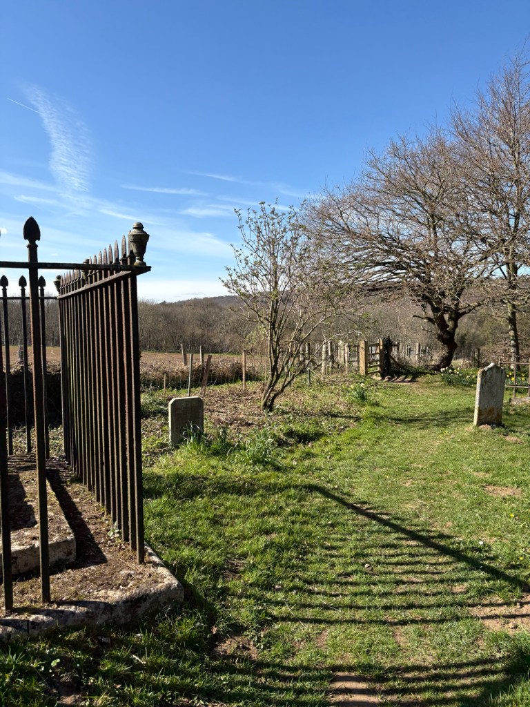
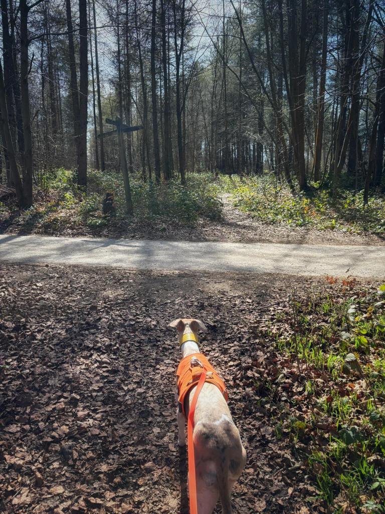
At the end of the lane, go through the double gates into the churchyard and ahead to the church.
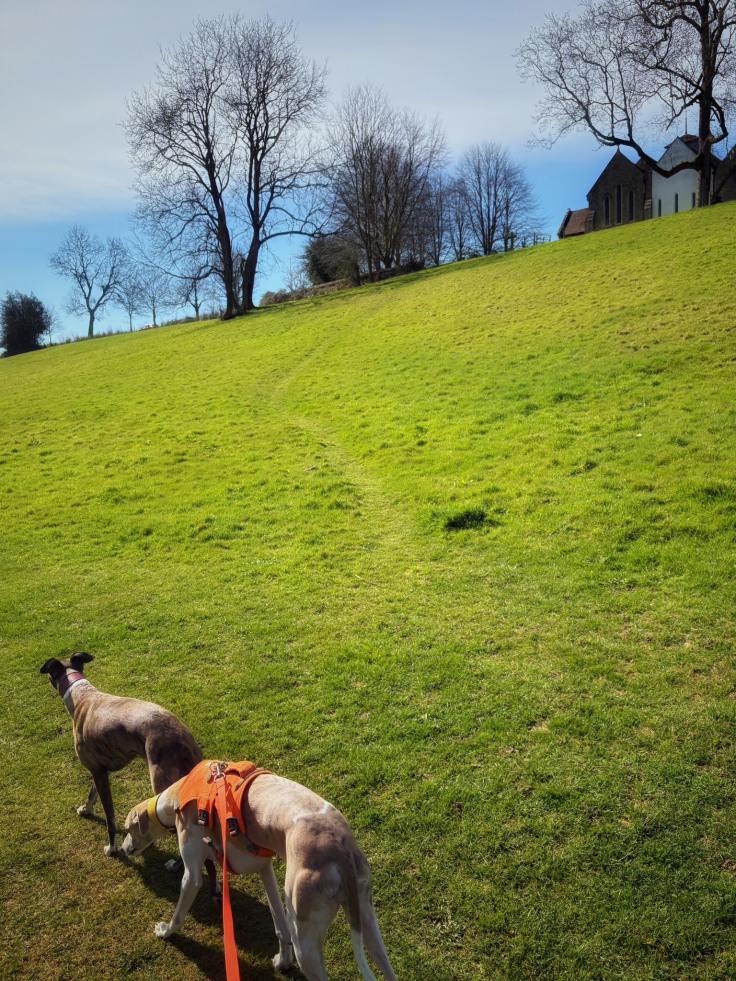
When you reach the building, turn left and walk on the grass path (it’s generally a bit flatter than the surrounding grass) between two really big tombs and then past one with railings around it.
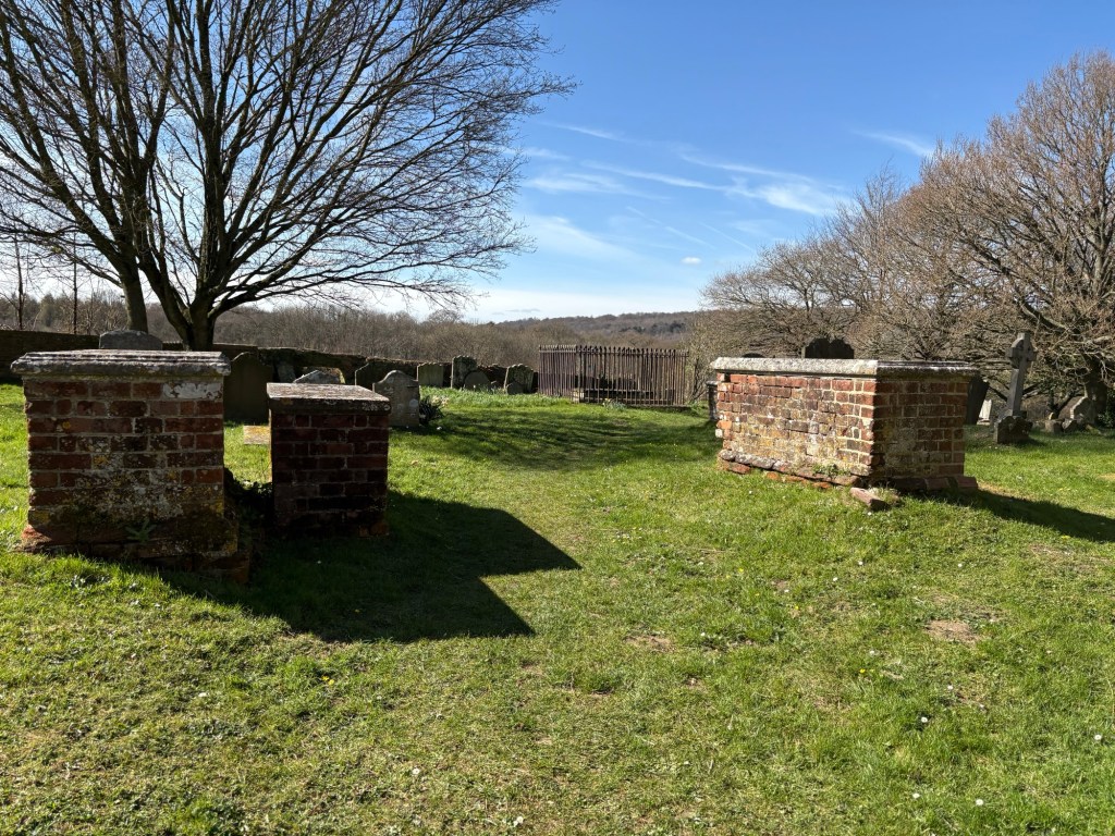
Exit the graveyard through the gate on the left and turn right onto the footpath, which heads away between two fields.
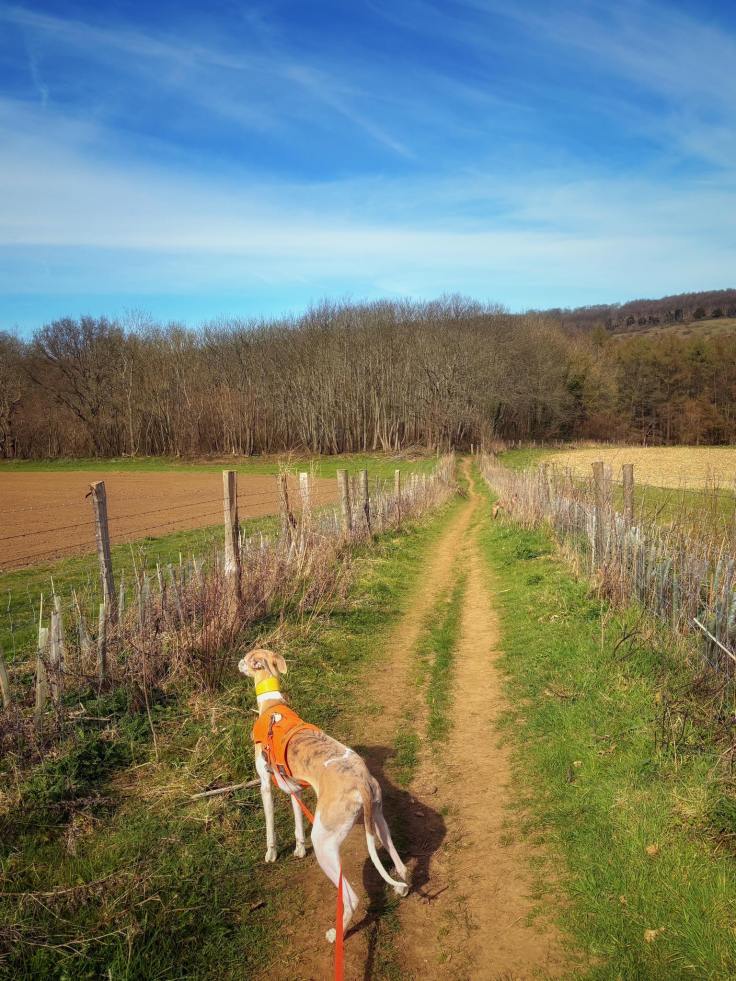
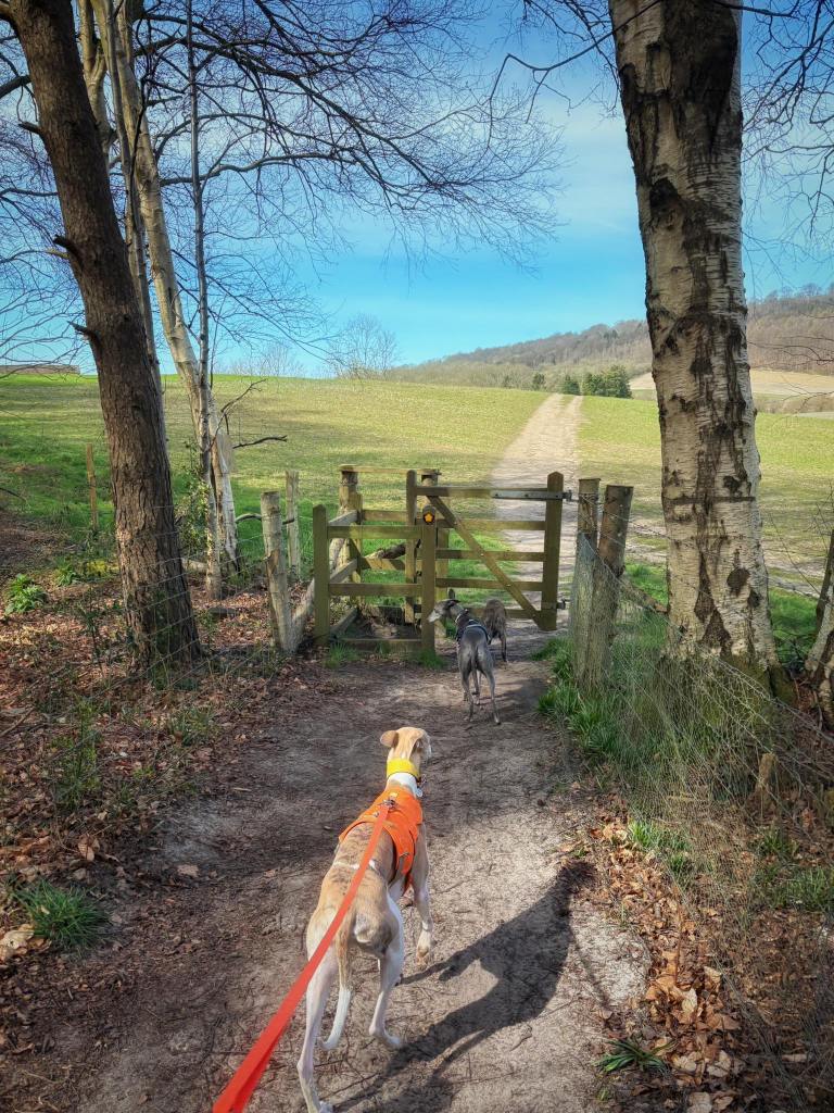
The path descends gently into woods. Go through the gate and continue ahead on the path as it goes through the middle of a field, rising up a gentle slope and then back down. At the far end of the field, go through the gate and turn right.

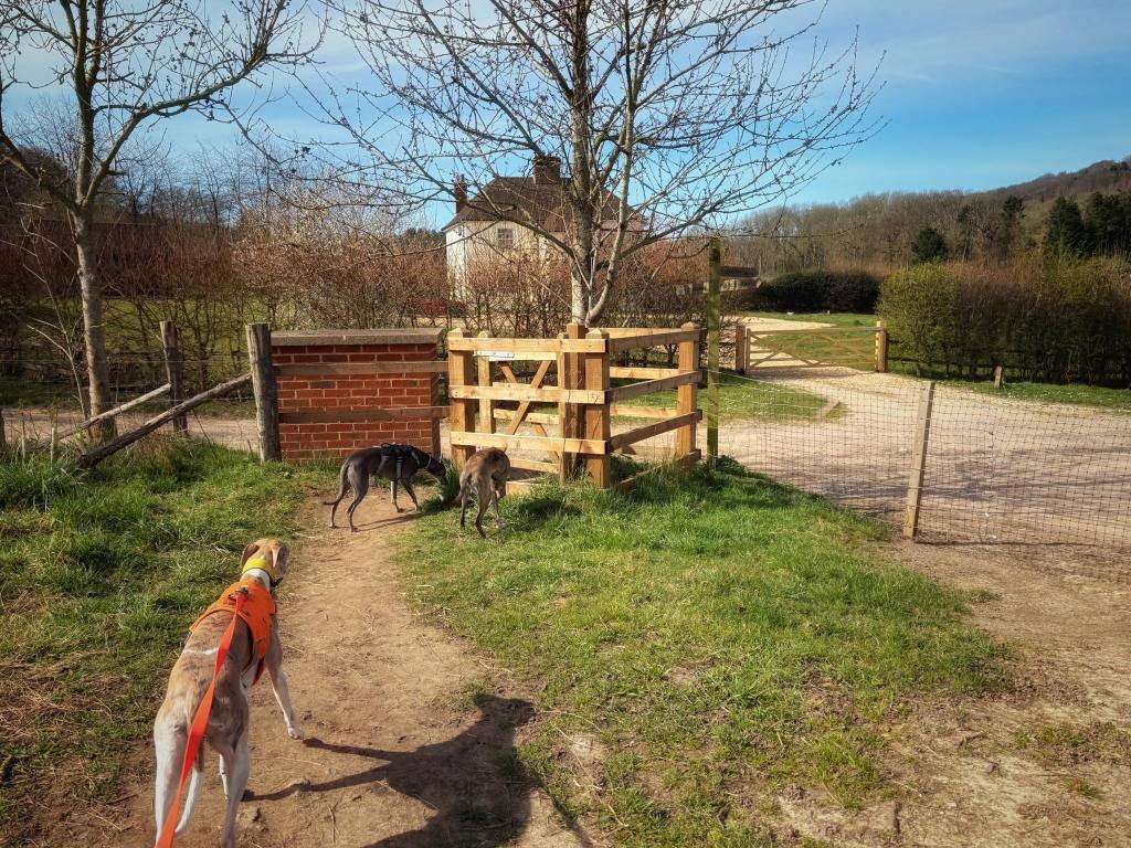
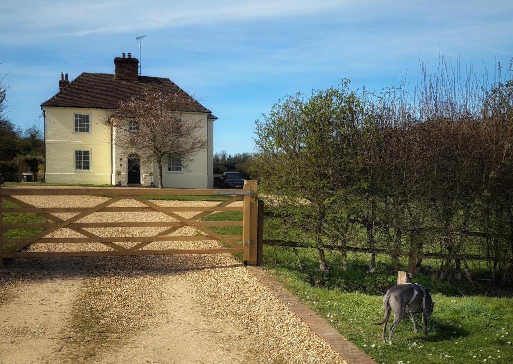
With the large, rather lovely looking detached house to your left, walk straight ahead down the track/lane.

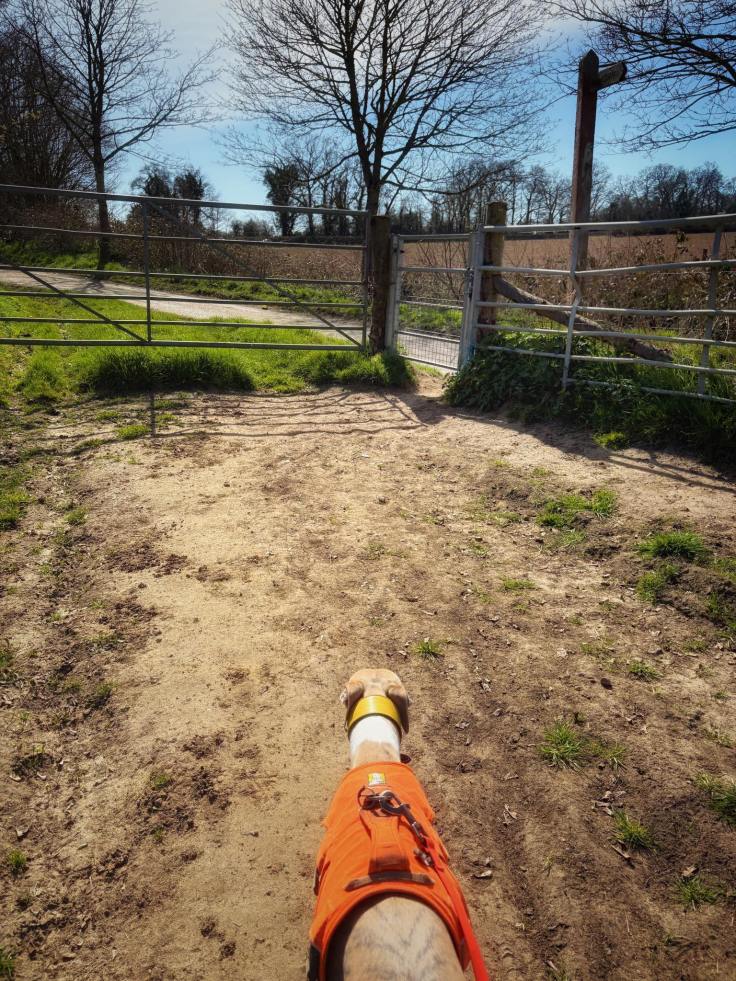
Go over the railway bridge and then it starts to go uphill and passes through a gate. Pass a National Trust sign for White Down Lease as you follow the path round to the left. It’ll then u-bend round to the right.
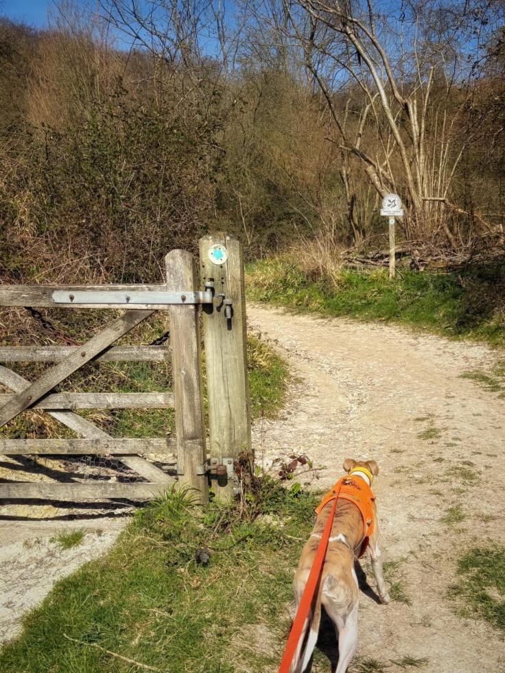
At the fork, where there is a small post to the left that has several arrows on it, bear to the right on the lower path that continues ahead, as opposed to the path on the left, which goes uphill.
Follow this long, straight path until you get to another little post on the left, which also has several arrows on it.
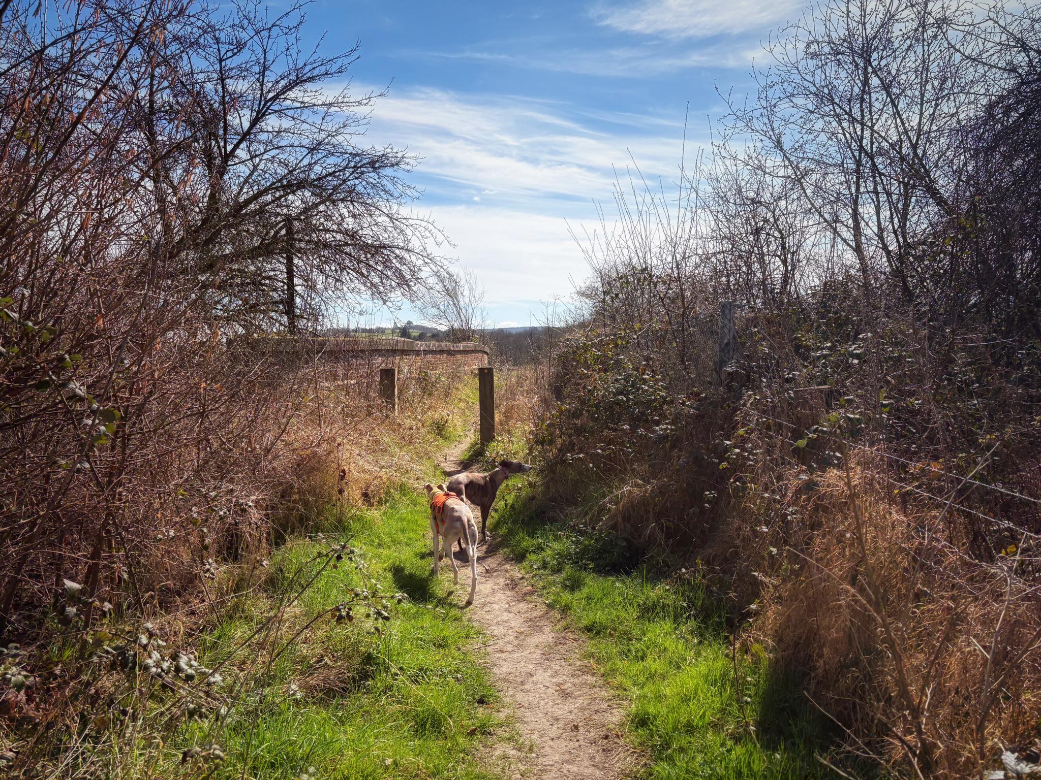
Turn right here onto a really small path that descends to a kissing gate. Go through the gate and the path continues straight ahead with fields on either side (large hedge on your left, wire fence with wooden posts on your right).

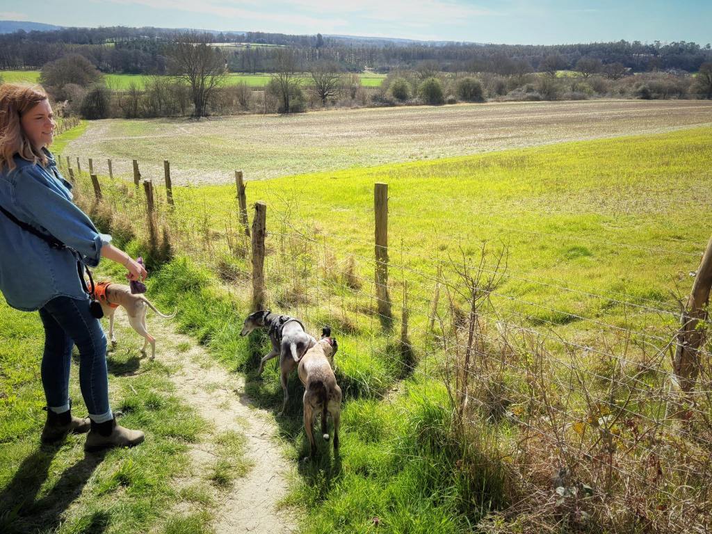
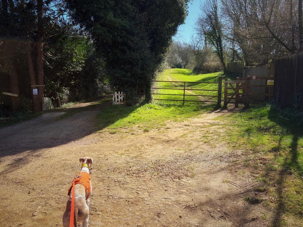
Just stay on this path and keep walking straight, crossing over the railway again and continuing ahead through more fields and over two plank bridges until you get to the junction with a lane where there’s a finger post pointing in all four directions.

Cross straight over the lane and continue straight ahead through the woods. After a little way, the path will descend a slope and emerge out at a clearing where there are some houses (this is Vale Farm apparently) around a kind of little roundabout with a tree in the middle of it.

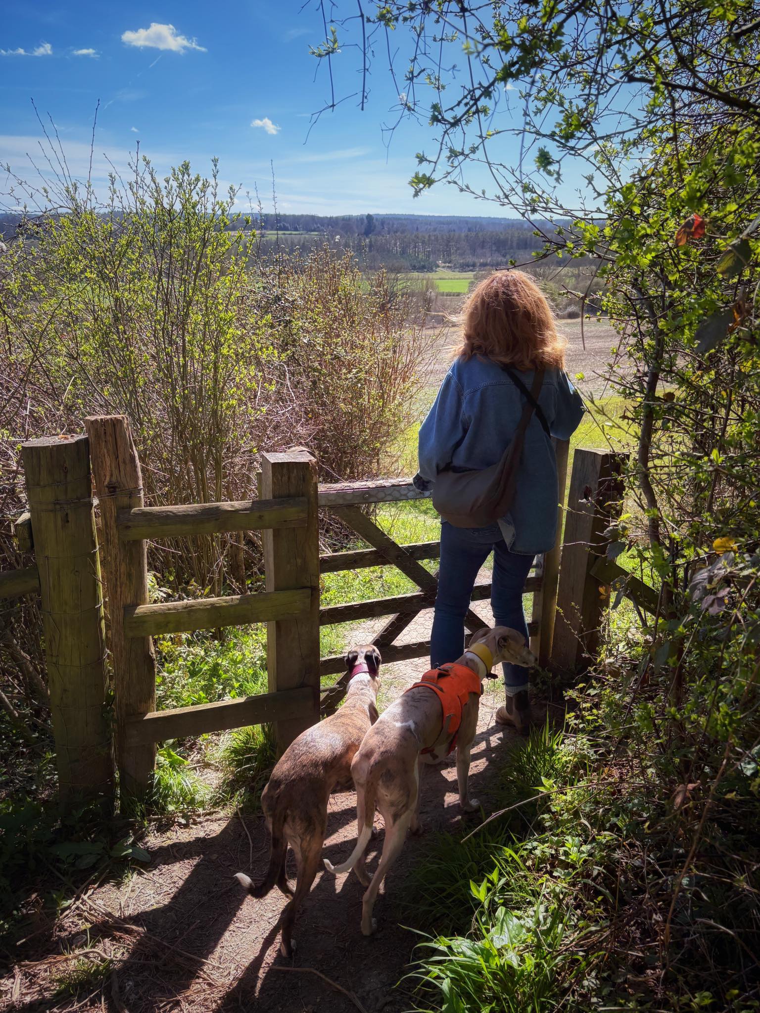
Go straight ahead here to the gates on the other side of the roundabout. Pass through the kissing gate, which has a yellow sign on it warning of loose livestock. When I came here, there were no animals in this next field, but that doesn’t mean there never will be any.
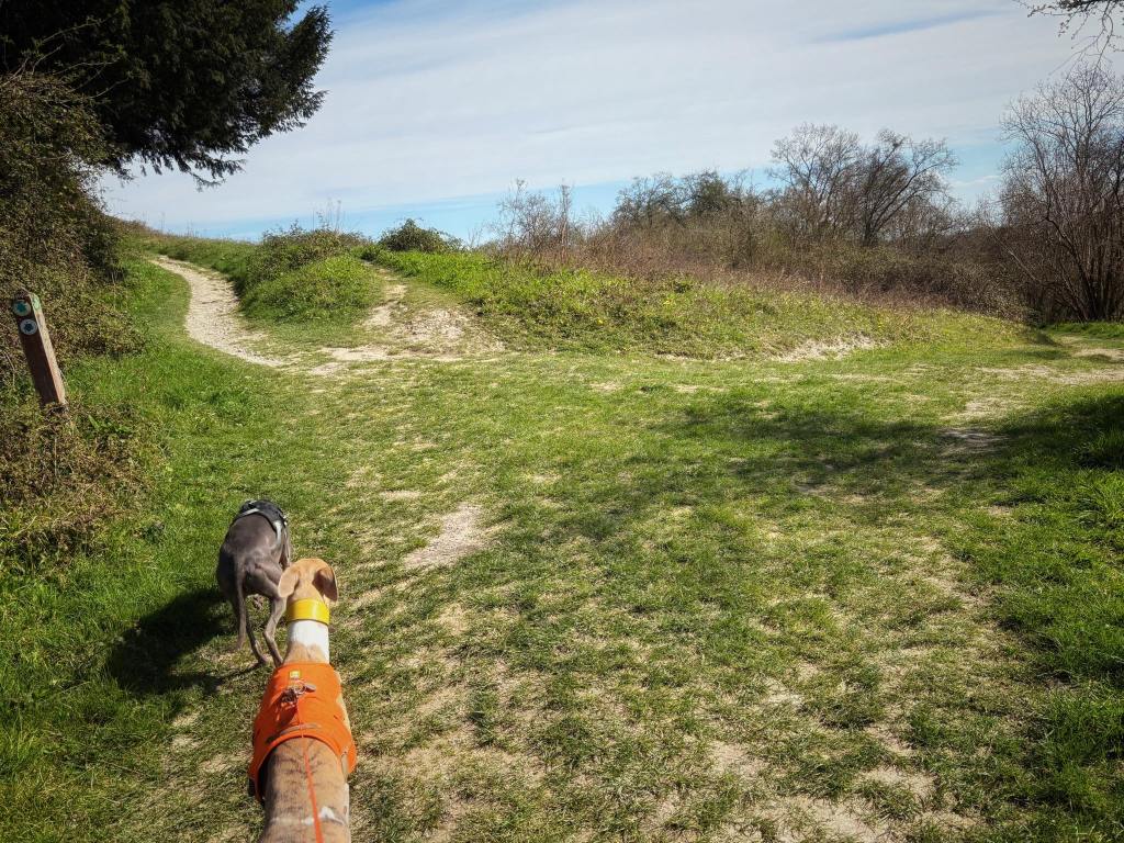
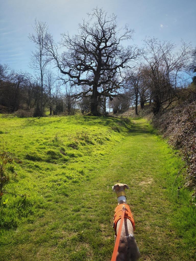
Stay on the path ahead as fence posts (but no fence between them) and an old, redundant stile come into view as the path gently curves to the right.

At the fork, you want to continue ahead on the lower path that seems sort of sunken and passes a tall tree ahead (to the left of the path). Just after the tree, there are a couple of ponds.
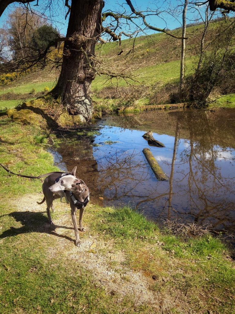
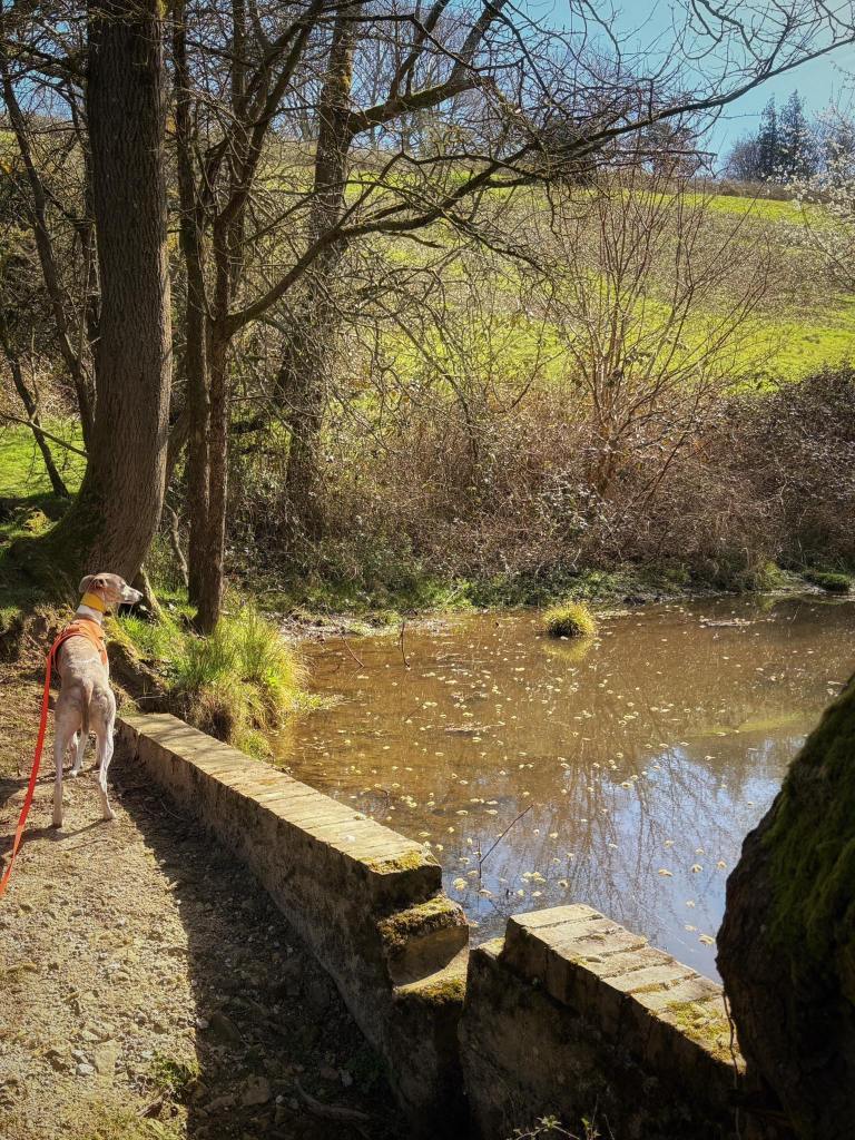
Just continue straight ahead on the path, passing the ponds and walking along the valley bottom. If you look up to the right, you’ll see the church from earlier. If you want to visit it again, take the little path up the hill and go through the gate, then return to the pub down the lane. If not just keep going straight ahead through the field.
At the end of the field, go through the gate and turn left onto the lane back to the main road and the pub.

Leave a comment