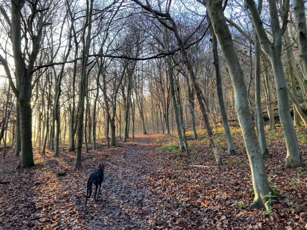
Farleigh is a village in the civil parish of Chelsham and Farleigh in the Tandridge District of Surrey. It was listed in the Domesday Book of 1086 as the manor of Ferlega. Farleigh’s Greatpark Wood is sited next to what used to be the Croydon Mental Hospital.
Self-guided walks
Limpsfield High Chart
The High Chart, adjacent to Limpsfield Chart, is a large area of ancient woodland owned by the National Trust and the Titsey Estate. The word “chart” comes from the Old English “chert”, which means rough ground.
Ockley – Vann Lake
Ockley is a small village in the south of Surrey and home to Vann Lake. This eight-acre man-made lake is thought to date from the mid-18th century, when a forest gill was dammed to form a ‘hammer pond’ to power a mill that was never built. It is surrounded by Ockley Woods, a 57.8-hectare (143-acre) ancient woodland and a biological Site of Special Scientific Interest.
Headley Heath
The name Headley, ‘Hallega’ in old English, means a clearing with heather. Headley, to the south of Box Hill, can trace its origins back to the Saxon age, when it was part of the Copthorne Hundred and used by commoners for grazing animals and collecting furze, bracken and firewood.
RAF Kenley and Kenley Common
Kenley Common comprises chalk grassland, wildflower-rich meadows and ancient woodland. RAF Kenley is the most intact airfield associated with WWII's Battle of Britain.
Banstead Fields (Perrotts Farm)
The Roe family at Perrotts Farm own and work the land to the south of Banstead village. The farm has grown wheat for bread making, barley for real ale, and beans exported to Egypt.
Horsley Lovelace Bridges
William King-Noel, Lord and the first Earl of Lovelace was owner of the East Horsley Estate from 1829 until his death in 1893. Lovelace had fifteen ornate brick and flint bridges constructed in the hilly woods to the south of his country house to make it easier to transport timber around his estate by horse drawn cart.
Norbury Park West
Norbury Park is a 530 hectare historic parkland comprising mixed wooded and agricultural land, which was alluded to in the Domesday Book of 1086. Grade II listed on the Register of Historic Parks and Gardens, it occupies mostly prominent land reaching into a bend in the River Mole and is part of the Mole Gap to Reigate Escarpment Special Area of Conservation.
Reigate Hill and Colley Hill
Reigate Hill, at a height of 771m above sea level, is described by the National Trust as “a spectacular escarpment with sweeping views across the Weald” and that sums it up perfectly. This stretch of the North Downs hill top boasts a rich history, home to Reigate Fort, the Wing Tips memorial sculpture and the Inglis Memorial.
Norbury Park East
Norbury Park is a 530 hectare historic parkland comprising mixed wooded and agricultural land, which was alluded to in the Domesday Book of 1086. Grade II listed on the Register of Historic Parks and Gardens, it occupies mostly prominent land reaching into a bend in the River Mole and is part of the Mole Gap to Reigate Escarpment Special Area of Conservation.