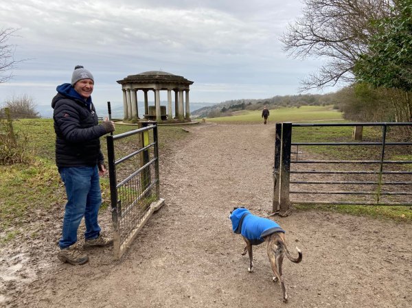
Reigate Hill, at a height of 771m above sea level, is described by the National Trust as “a spectacular escarpment with sweeping views across the Weald” and that sums it up perfectly. This stretch of the North Downs hill top boasts a rich history, home to Reigate Fort, the Wing Tips memorial sculpture and the Inglis Memorial.
Norbury Park East
Norbury Park is a 530 hectare historic parkland comprising mixed wooded and agricultural land, which was alluded to in the Domesday Book of 1086. Grade II listed on the Register of Historic Parks and Gardens, it occupies mostly prominent land reaching into a bend in the River Mole and is part of the Mole Gap to Reigate Escarpment Special Area of Conservation.
West End Common
West End Common is a 70.3-hectare (174-acre) Local Nature Reserve and part of Esher Commons, which is a Site of Special Scientific Interest. The River Mole runs along one edge of the common, which also boasts six ponds and wet areas.
Banstead Heath – Mogador
Banstead Heath at Mogador comprises open grass land, scrub and woodland. It is the largest and most southerly of the four commons making up Banstead Commons, with a total area of 310 hectares (760 acres), stretching from the M25 in the south to Tadworth roundabout on the A217 to the north with a southern border with Walton Heath Golf Course.
Sanderstead to Whyteleafe Countryside Area (SWCA) / Riddlesdown
On the border of Purley (London Borough of Croydon) and Whyteleafe (Tandridge, Surrey), the Sanderstead to Whyteleafe Countryside Area (SWCA) is a 200 acre area of chalk grass/downland, fields, woodland and scrub, which forms part of the North Downs.