Walliswood – Kiln Copse, Chapel Copse and the secret church

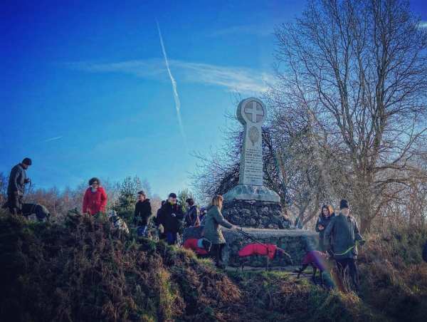
Walliswood is a small village near Dorking and home to a little-known church, hidden away in the woods. The Church of St John the Baptist, Oakwood Hill (formerly Okewood Hill) was built around 1220, apparently on the site of a Roman villa, which, in turn, had been constructed where a Druidic temple had once stood.

St Martha’s Hill and church

St Martha’s Hill is on the Greensand Ridge between the town of Guildford and village of Chilworth. Atop the hill, you'll find the lovely Church of St Martha-on-the-Hill (also known as St Martha's Church). This protected, grade II listed building is accessible only by foot and the only church in Surrey on the Pilgrims' Way, the historical route supposedly taken by pilgrims from Winchester to Becket's shrine at Canterbury.

Silvermere

Silvermere is a lesser-known part of Wisley and Ockham commons, owned by Surrey County Council and managed by the Surrey Wildlife Trust (SWT).

Frensham Little Pond

The village of Frensham and its Little and Great ponds can be found near the town of Farnham. The name Frensham comes from “Frena’s ham”. Frensham Little Pond, once called Crowsfoot, was built in 1246 by order of the Bishop of Winchester, William de Raleigh.

Sidney Wood

Sidney Wood is right on the edge of Surrey, near Alfold and Cranleigh, and the old Wey and Arun Junction Canal runs through it. Known as “London’s lost route to the sea”, the Wey and Arun Canal is a partially open, 18.5 mile (30km) canal running southwards from the River Wey at Shalford in Surrey to the River Arun at Pallingham in West Sussex.

Chobham Common North

Chobham Common is the largest National Nature Reserve in the south east of England at around 600 hectares – and a prime example of lowland heath, one of the most ancient and characteristic British landscapes, originally created by prehistoric farmers. For over 200 generations, rural communities have carefully managed this open countryside, creating a wildlife rich patchwork of mini-habitats.

Limpsfield High Chart

The High Chart, adjacent to Limpsfield Chart, is a large area of ancient woodland owned by the National Trust and the Titsey Estate. The word “chart” comes from the Old English “chert”, which means rough ground.

Headley Heath

The name Headley, ‘Hallega’ in old English, means a clearing with heather. Headley, to the south of Box Hill, can trace its origins back to the Saxon age, when it was part of the Copthorne Hundred and used by commoners for grazing animals and collecting furze, bracken and firewood.

Website Powered by WordPress.com.

Up ↑